Through Mining Country To Home

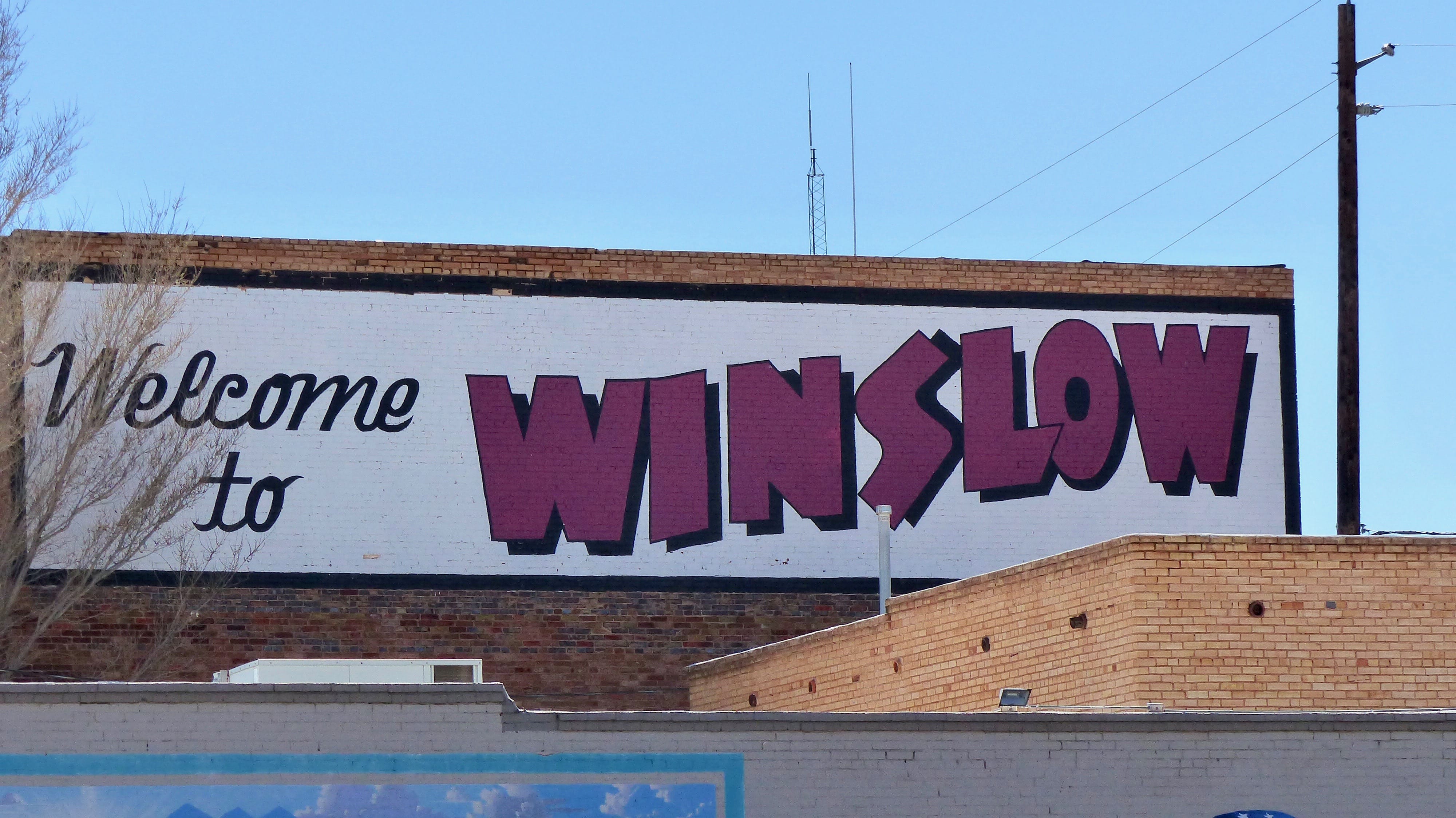
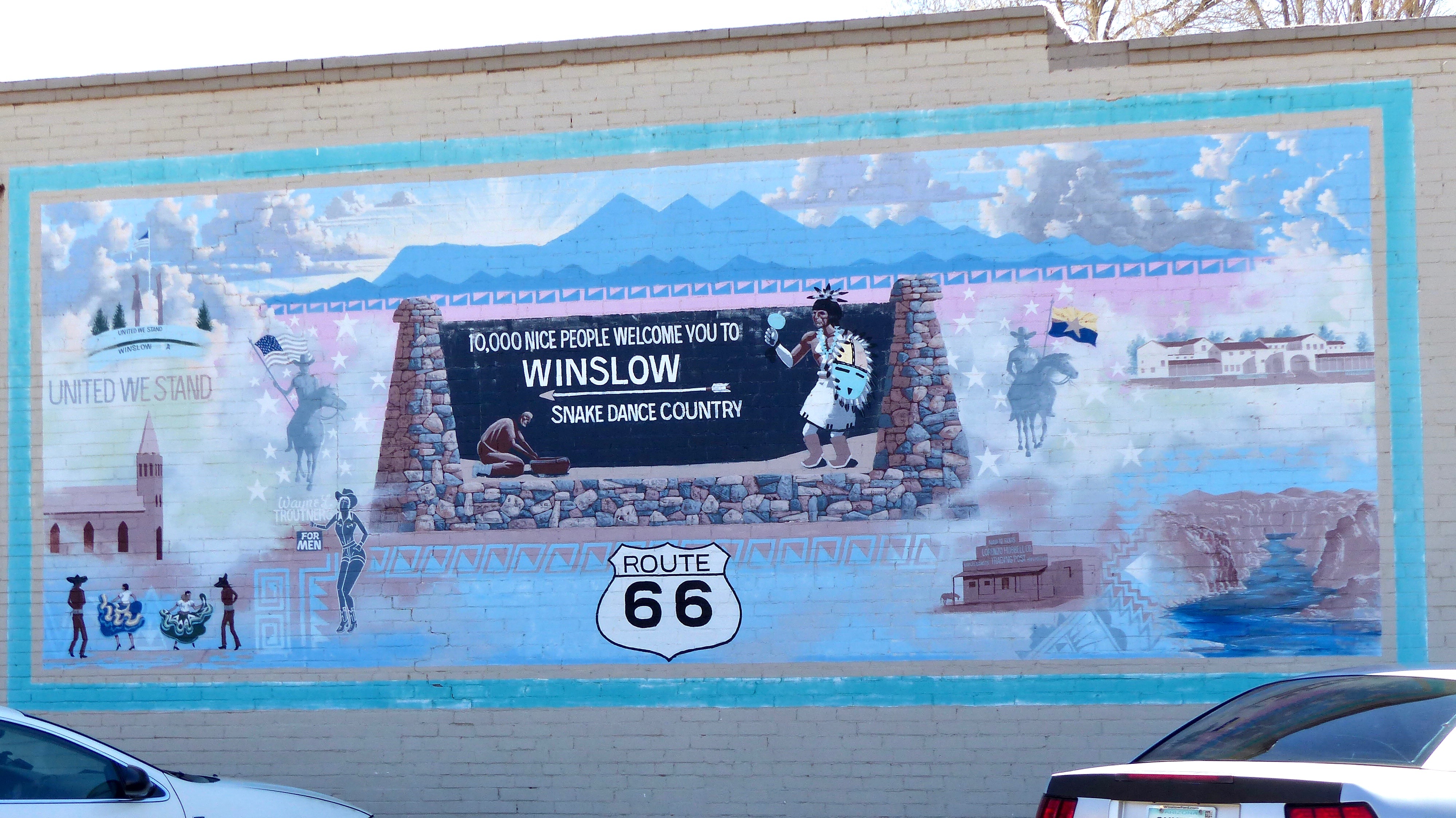
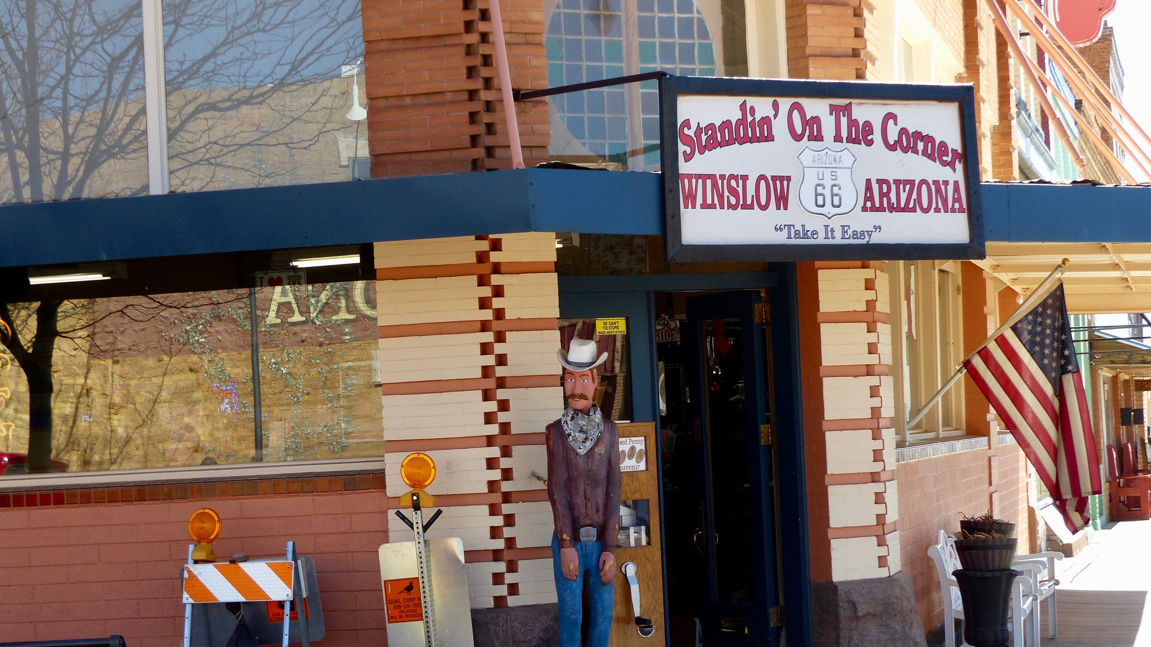
Friday, March 22, 2019

I am writing this edition of our Jil and Mike blog from the comfort of my easy chair in our home. Yes, we are home! Two months, three weeks of adventure now over. We arrived two days ago. Those of you who travel know that arriving at the ol’ barn in itself is a nice feeling but then the work begins. The coach has to be off loaded- clothes, food, etc. most goes into the house. Everything inside the coach is cleaned, everything outside the coach is cleaned. It’s a two day job and all of that is behind us. I can now catch up and conclude the adventures of Jil and Mike. No, our adventures are not over, just this episode. Below you will find the account of our last 400 miles on the road.

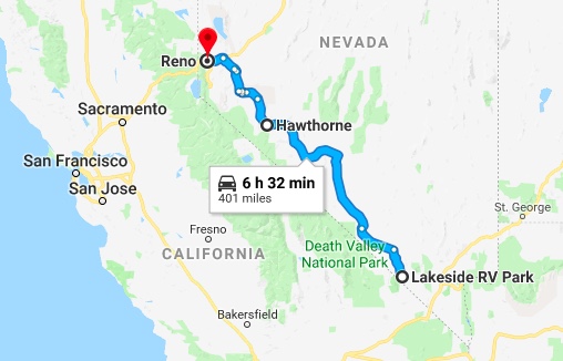
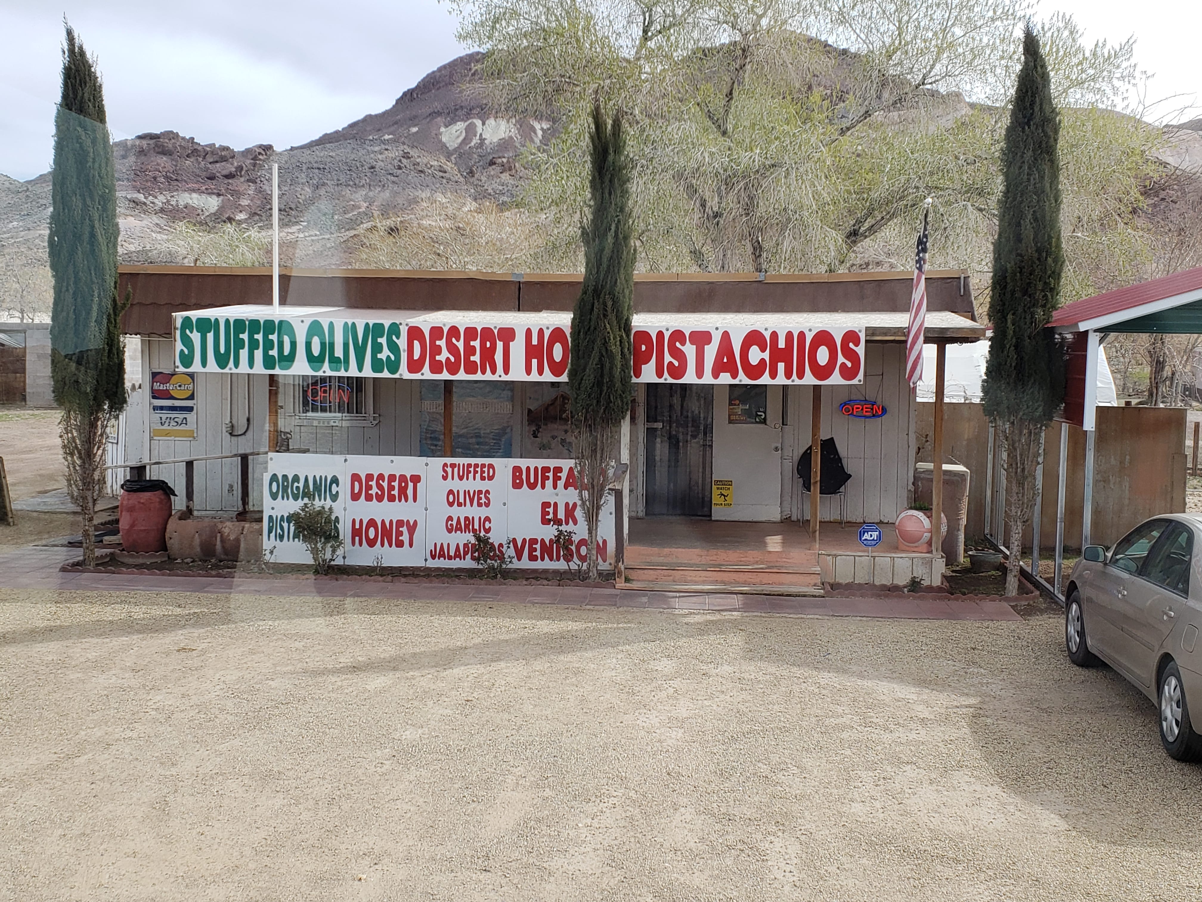
The last leg of our trip brought us through some very interesting country. It’s still over 400 miles to our home so we stopped in Hawthorne overnight. On the way from Pahrump to Hawthorne we stopped in Beatty (1000 souls) at an interesting store. The proprietor makes his own toffee covered nuts and sells honey. Haven’t sampled the honey yet but the butter toffee almonds were great!


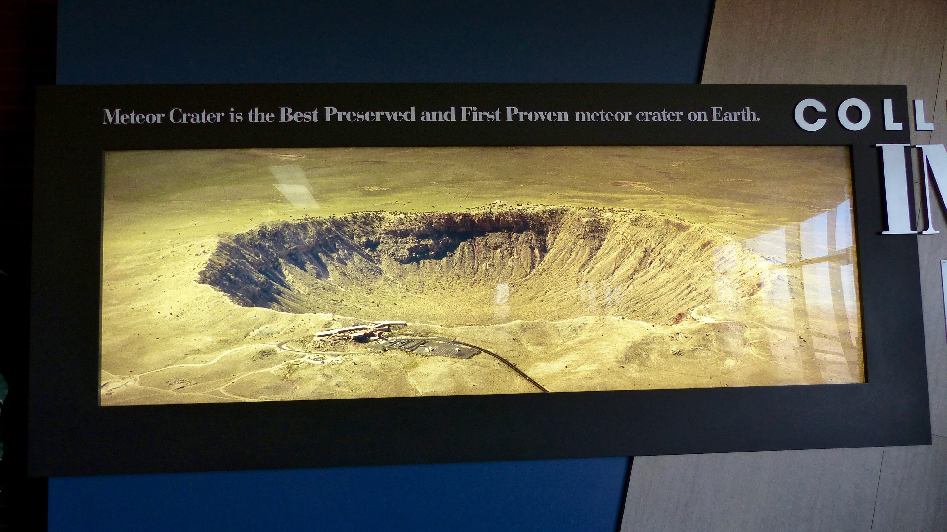
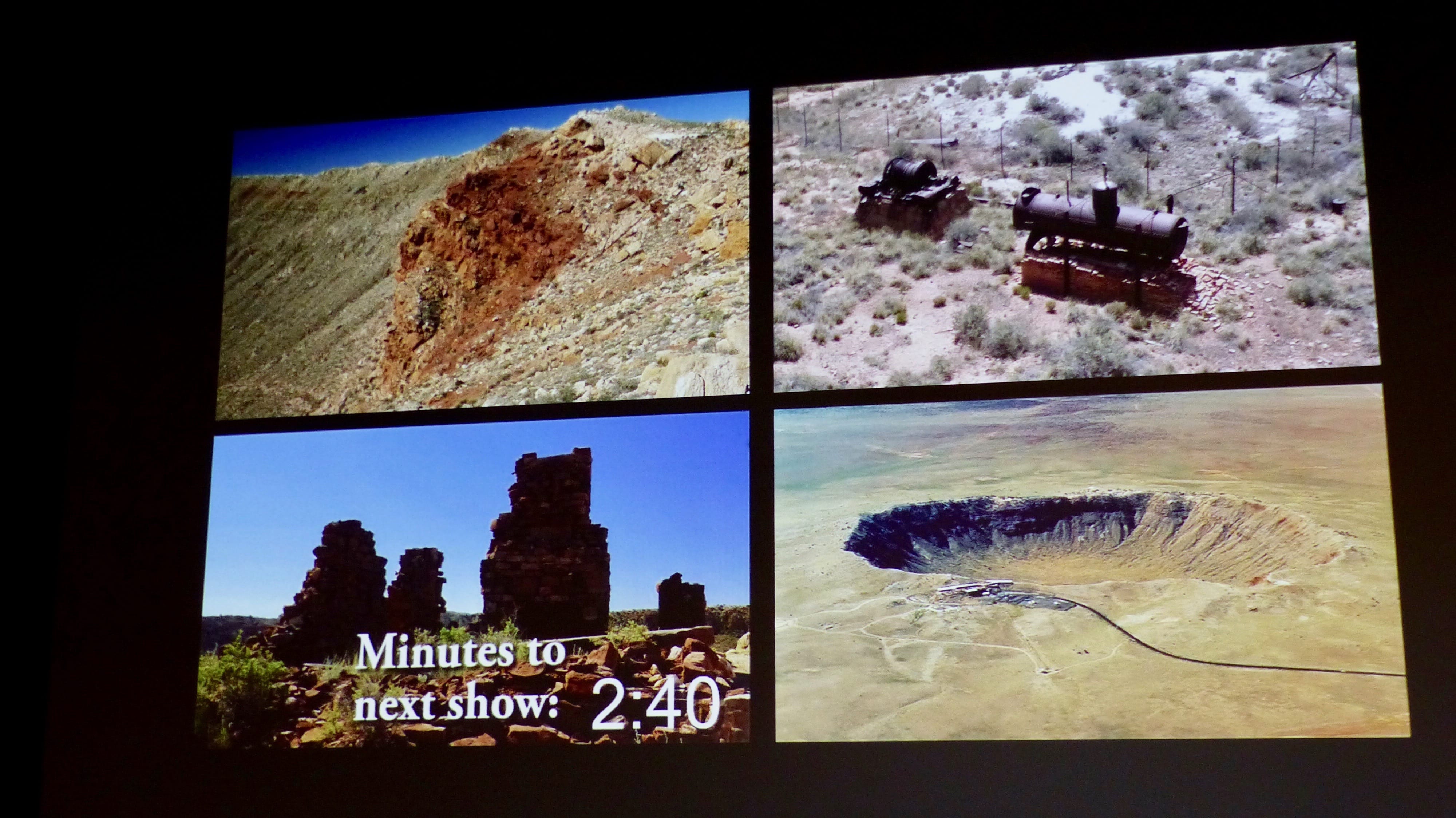
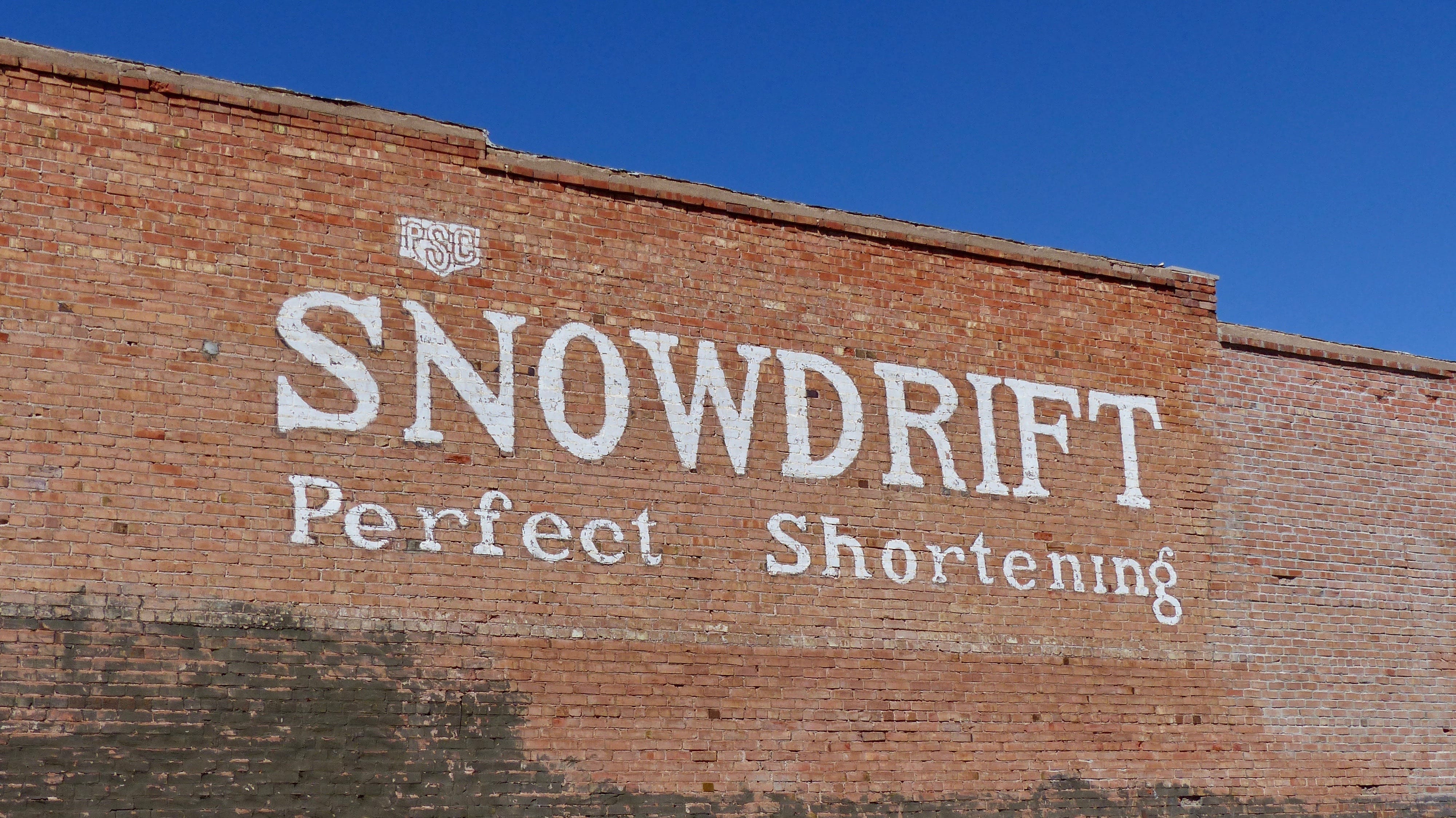
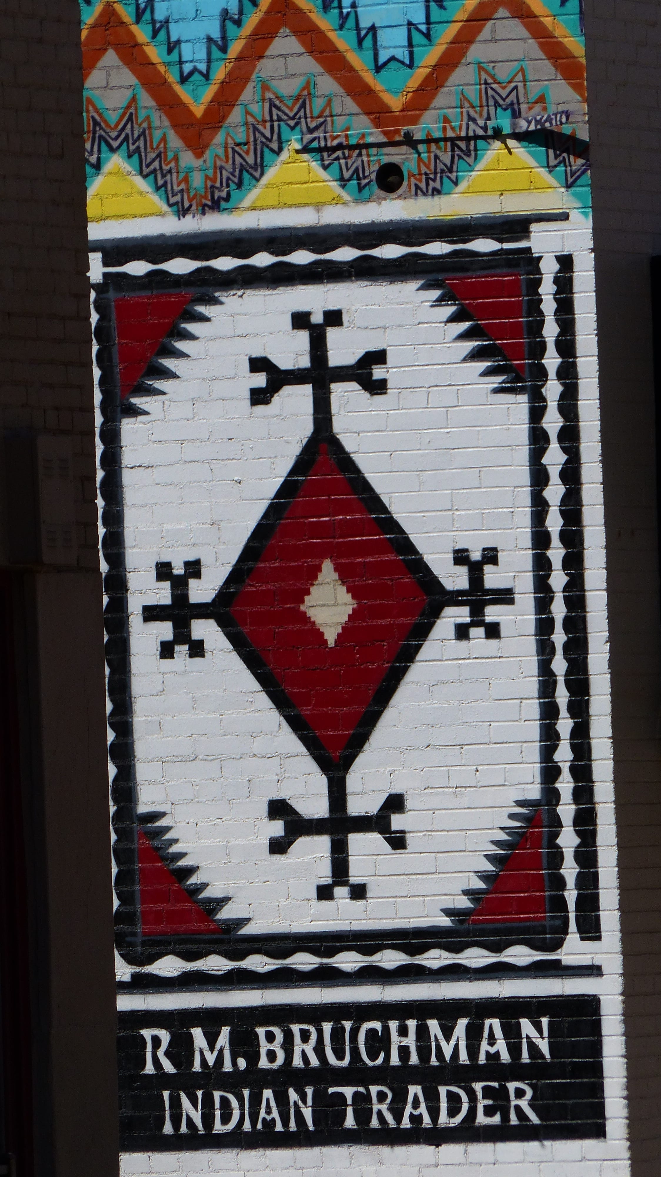
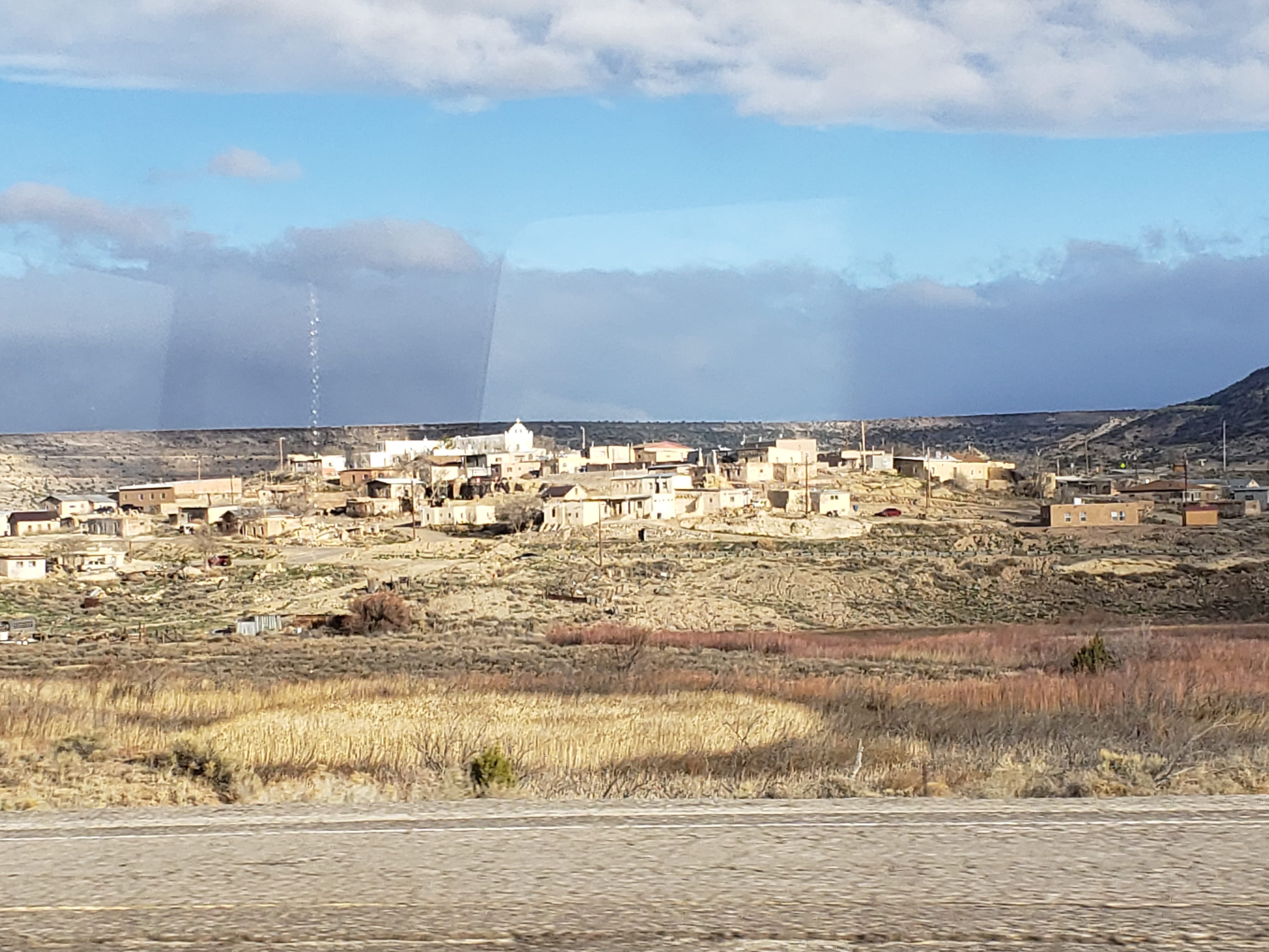
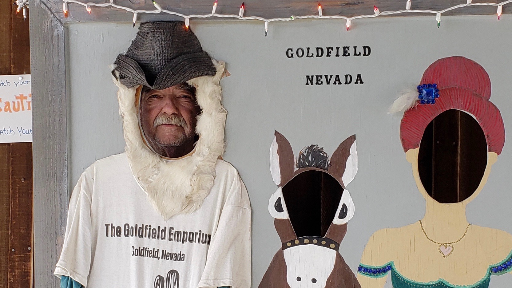
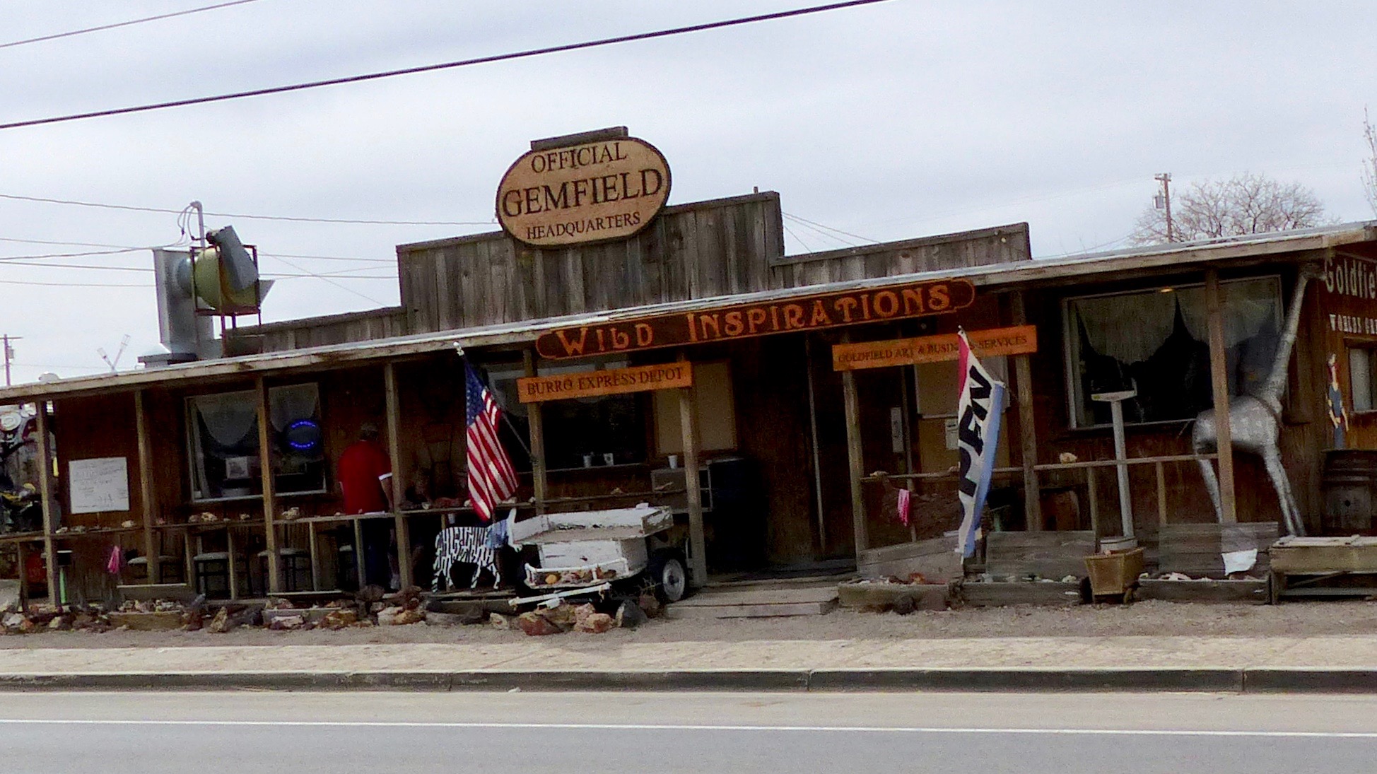
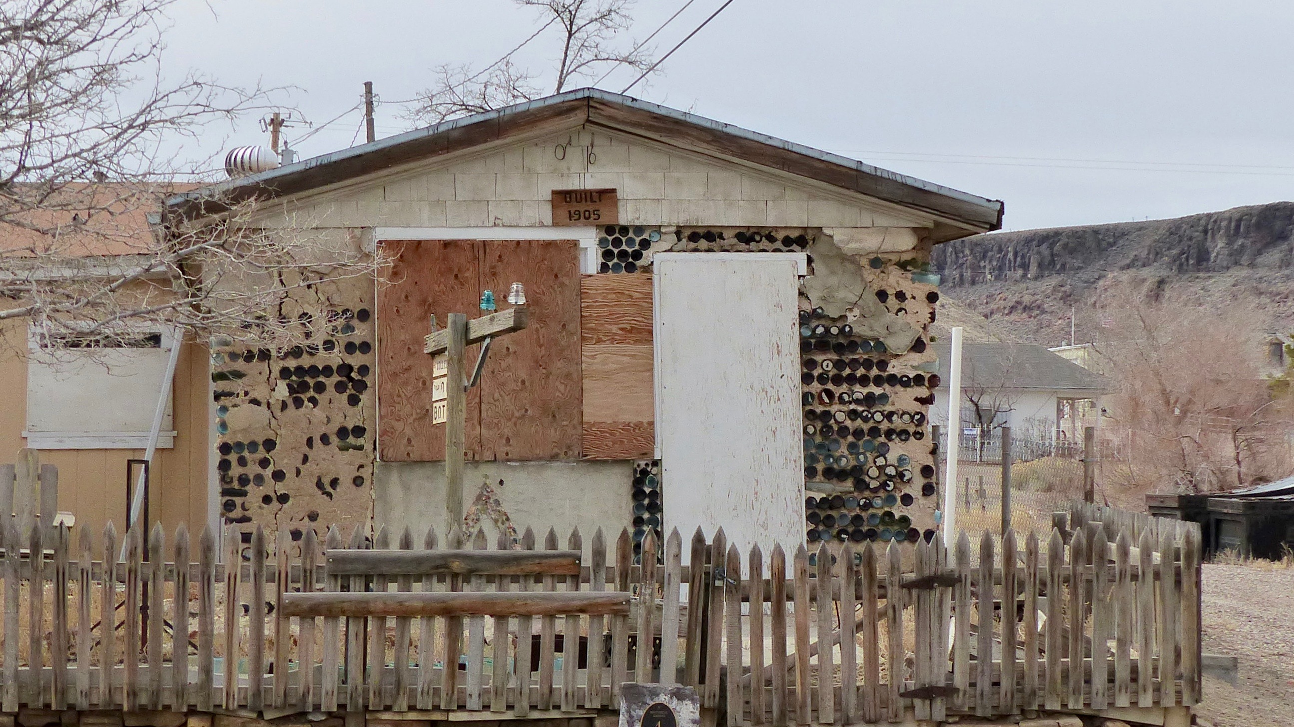
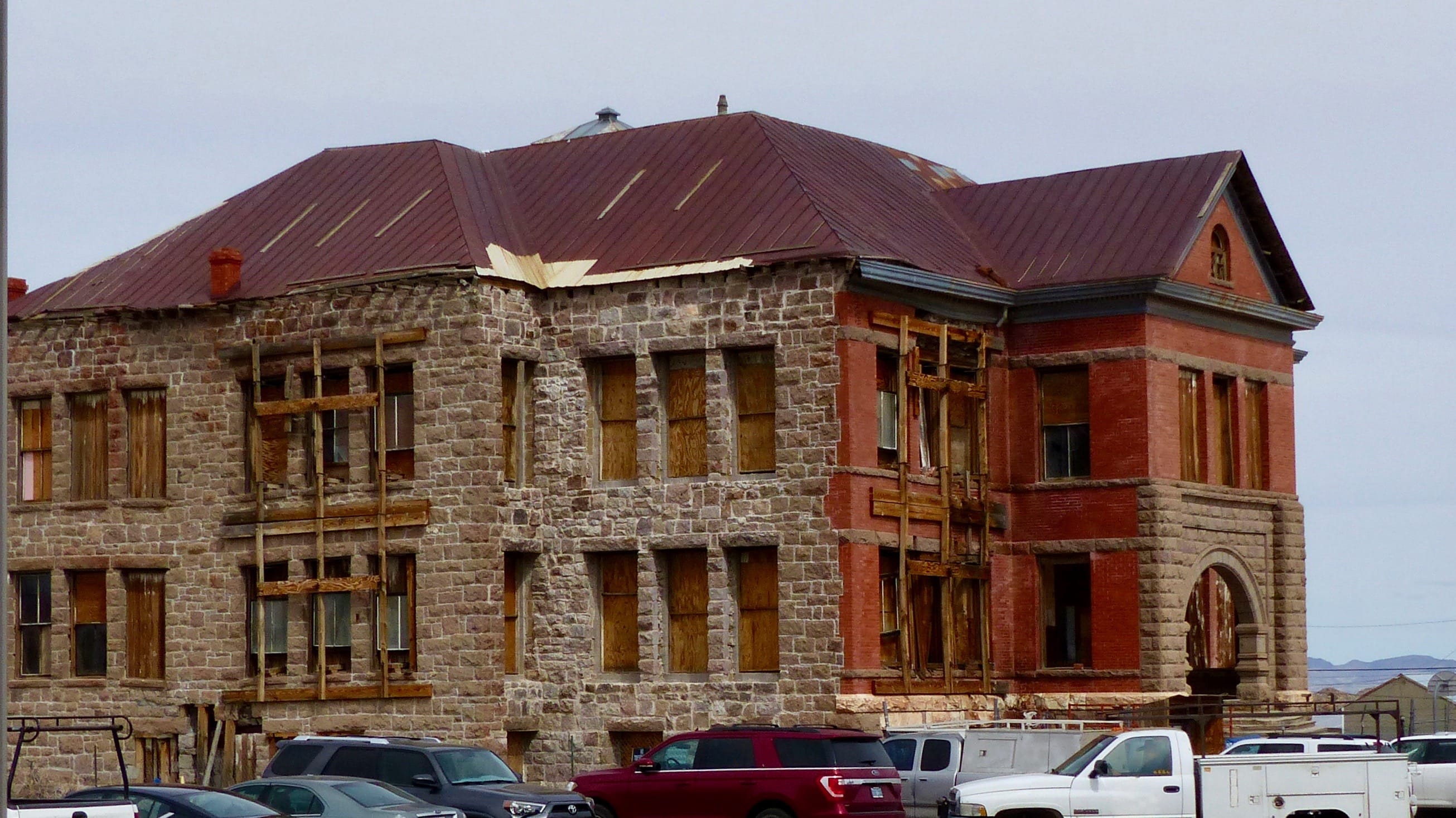
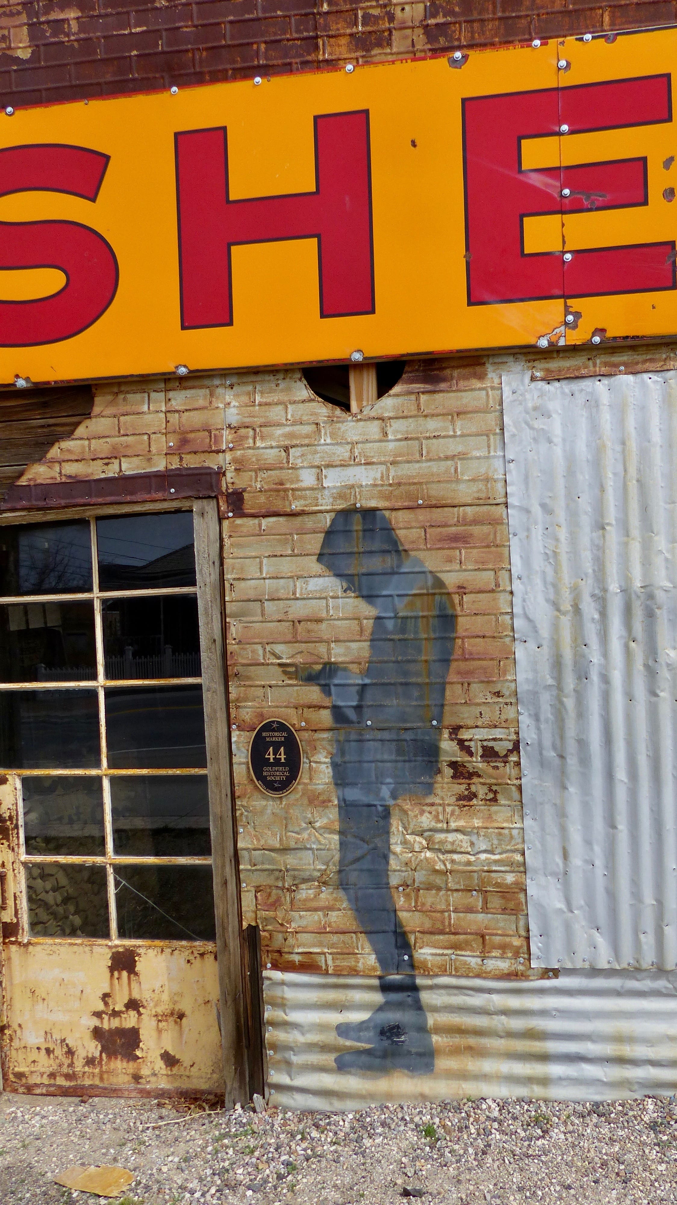
We also stopped in Goldfield. We almost didn’t when Jil thought it was just another down and out town. Well, she was correct about the down and out but the place has one hell of a history.

Mining was in deep decline from the 1880’s until the early 1900’s in Nevada. As a matter of fact the state lost one third of its population because of the downturn. Then gold was discovered in 1902 in Tonopah and Goldfield. The economy boomed, a railroad connecting Goldfield with Las Vegas was built and population swelled to 20,000, making Goldfield the largest town in Nevada at the time. Between 1903 and 1940 $86,765,044 in precious metals were mined in Goldfield alone. The current population is 288 souls.

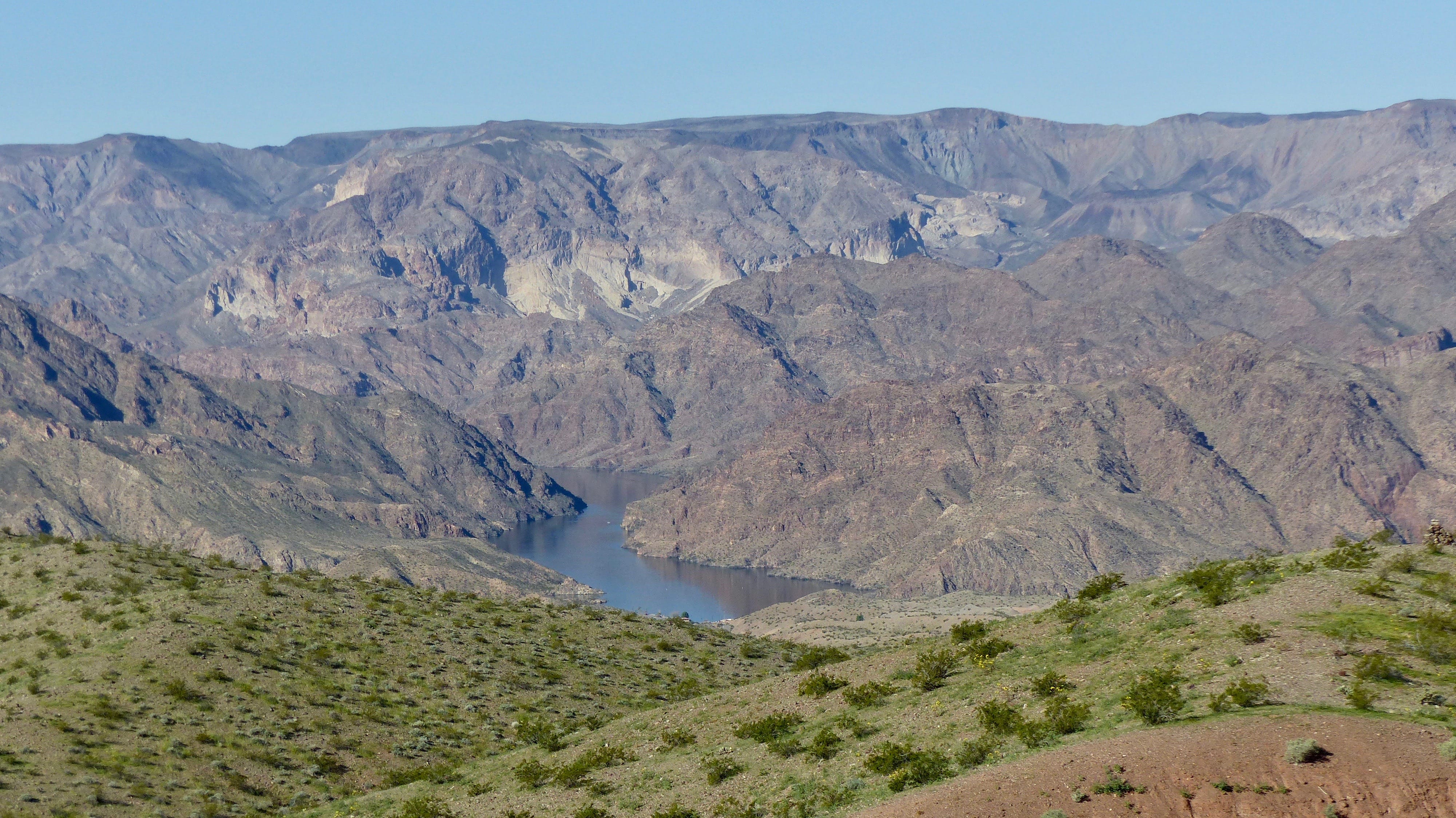
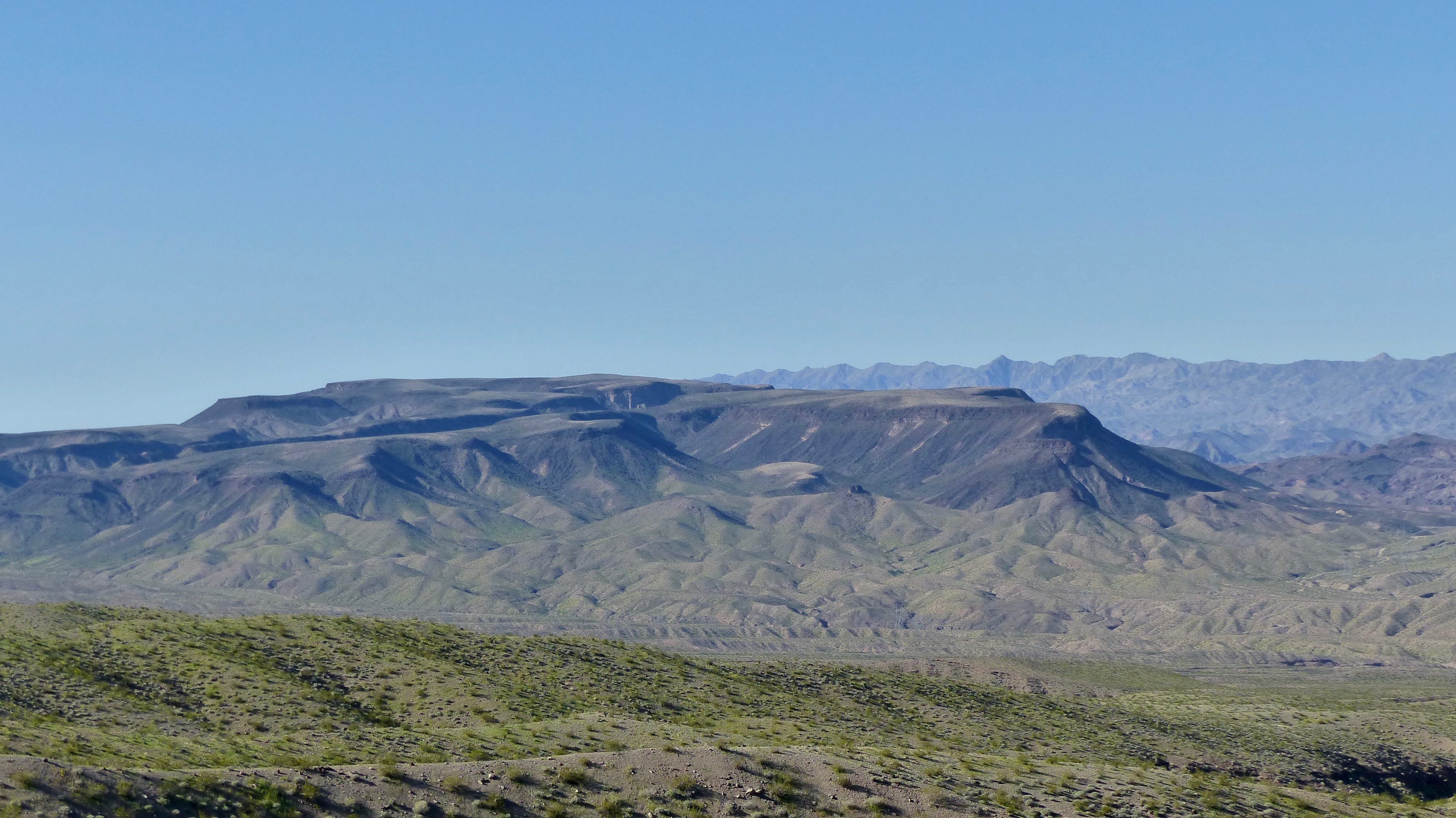
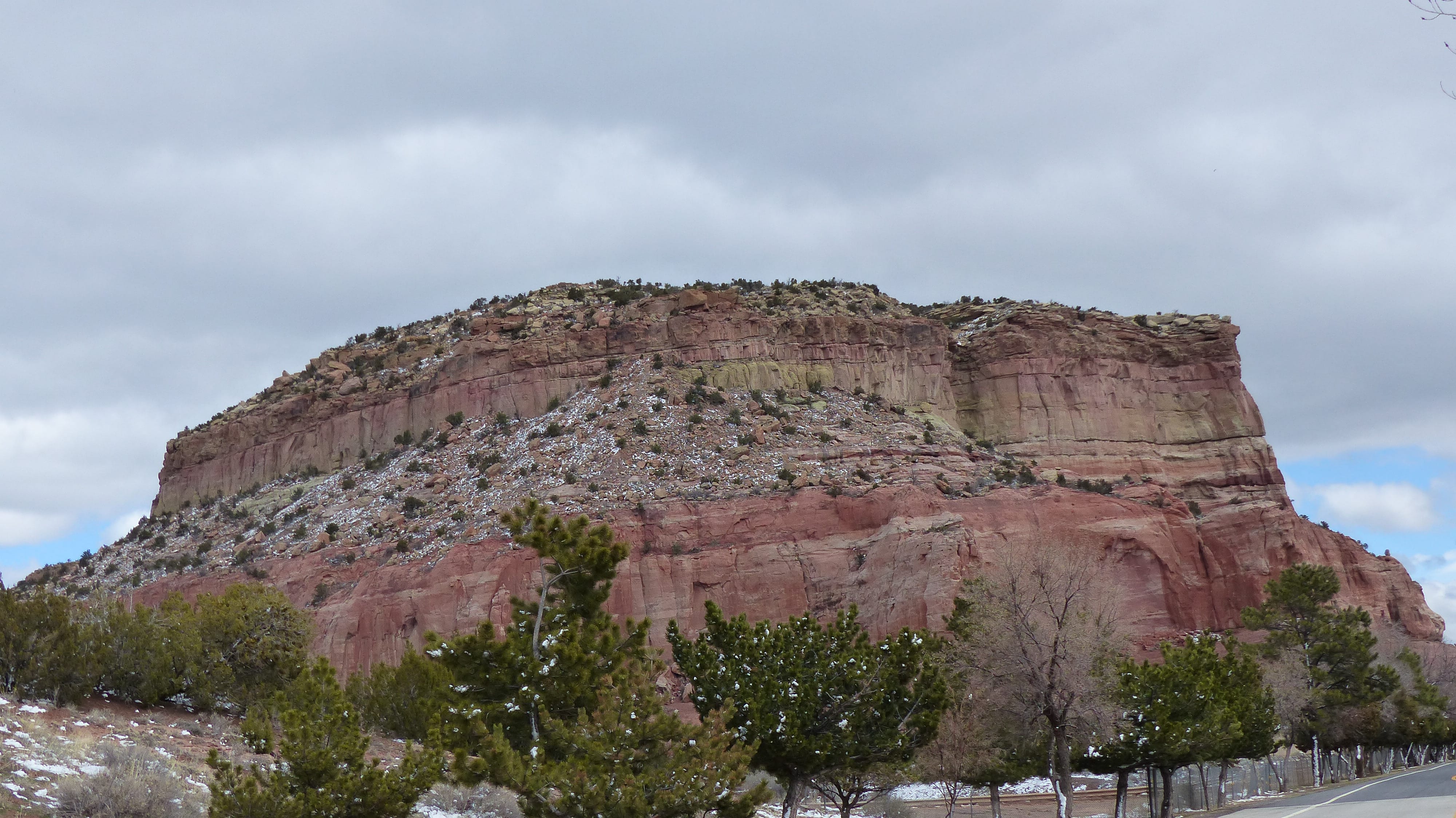
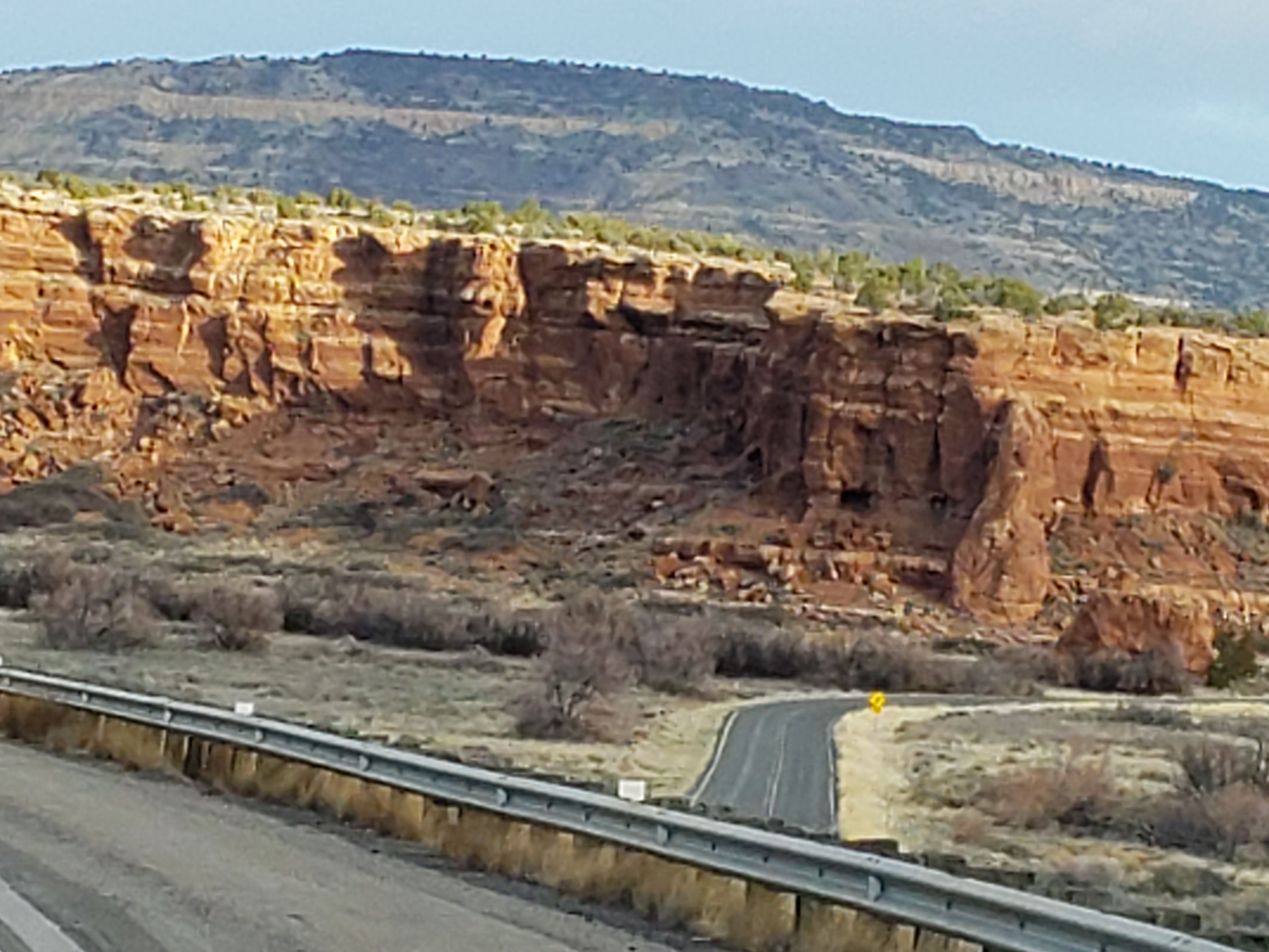
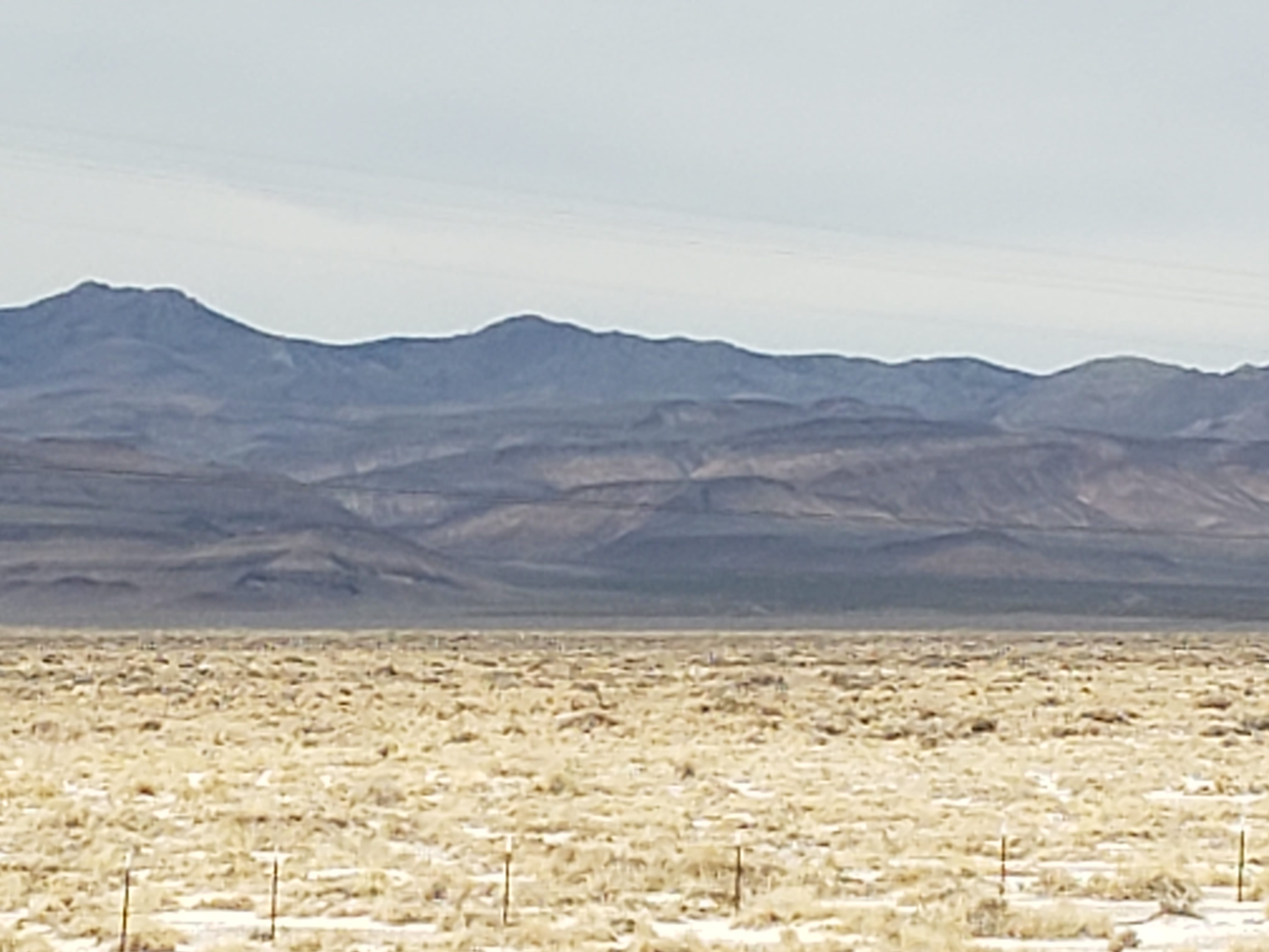
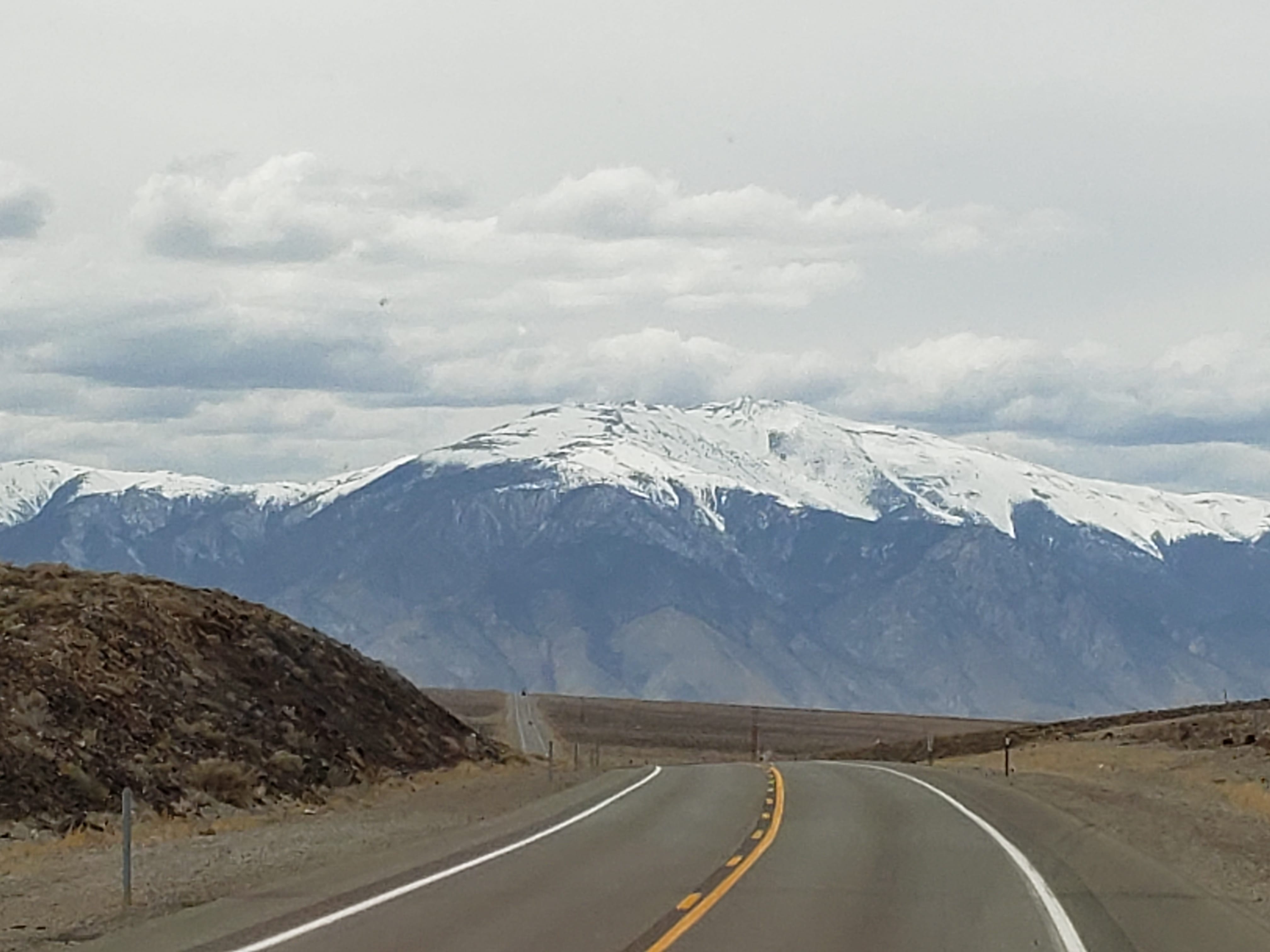
If one has never been through the State of Nevada one can only envision a desert wasteland as Nevada is the driest state in the Union. The latter is true, Nevada is very dry.

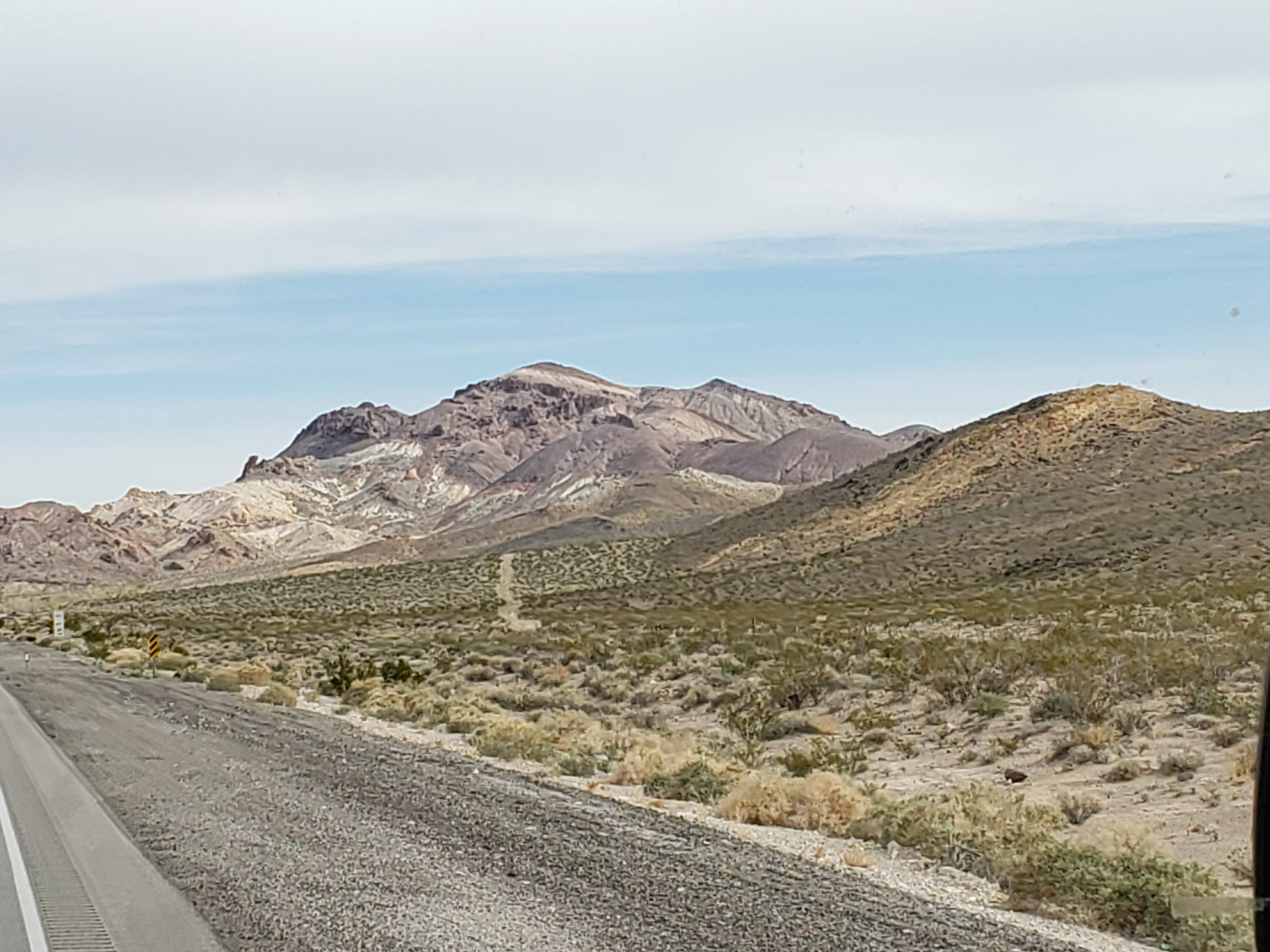
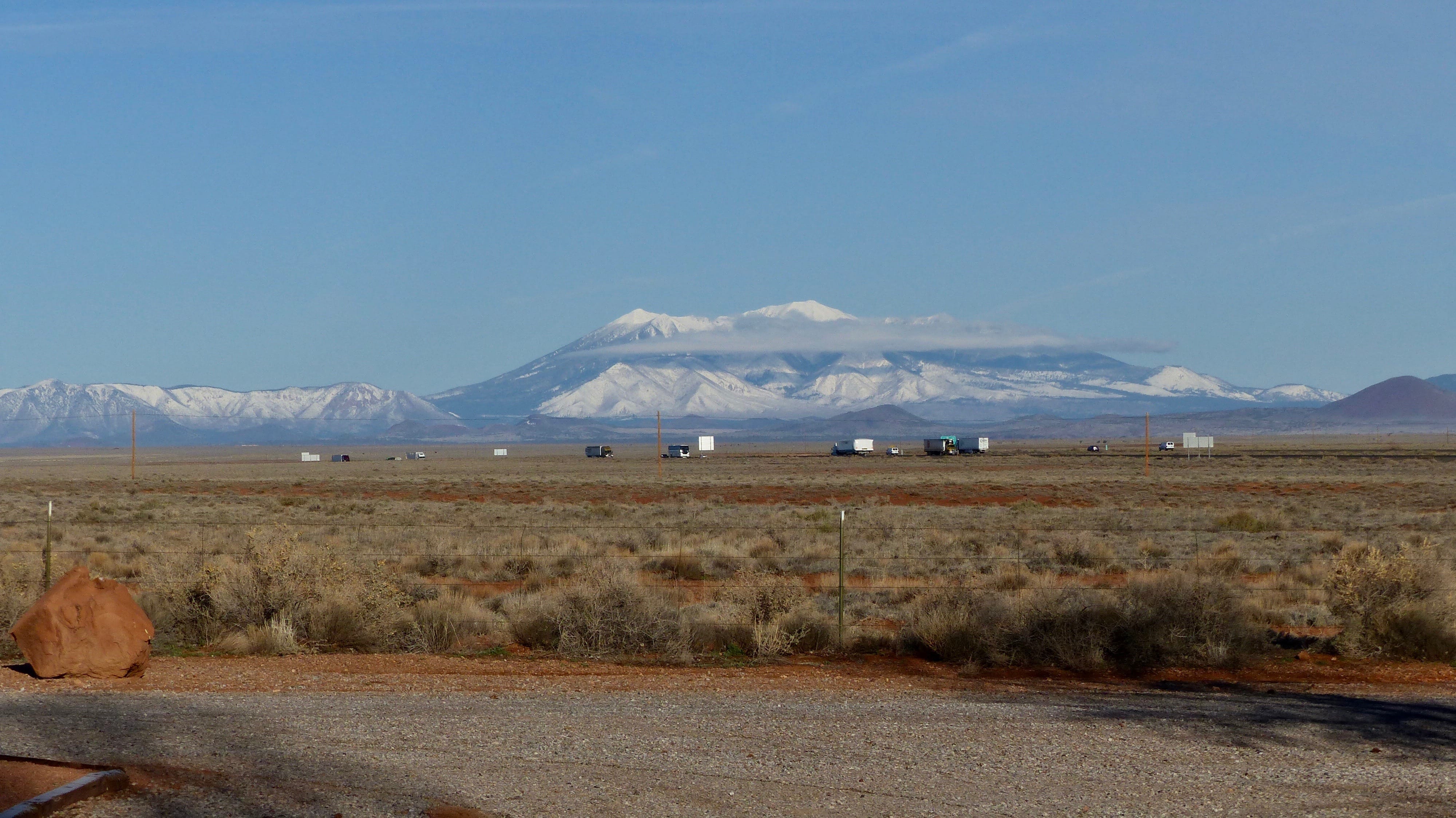
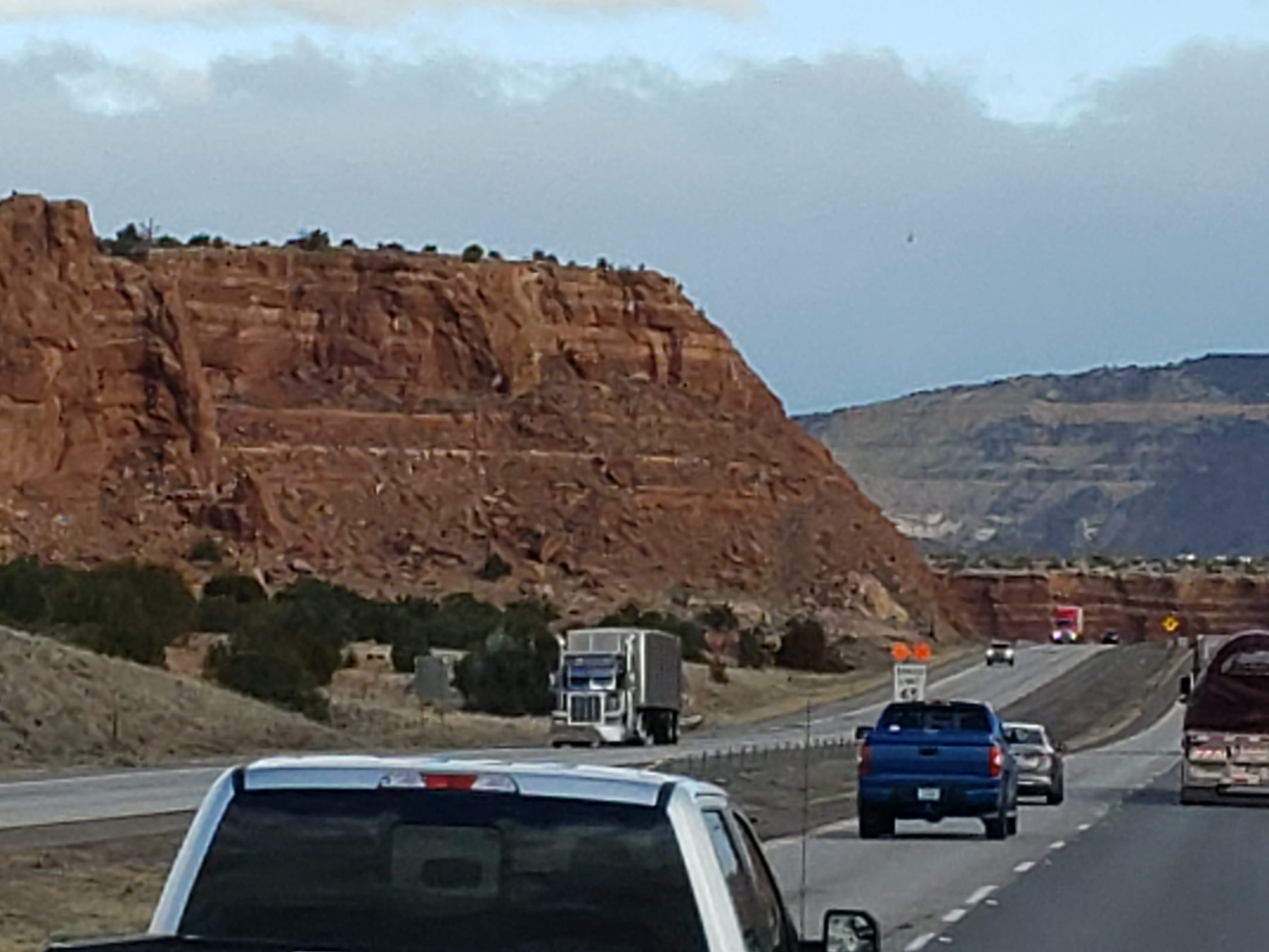
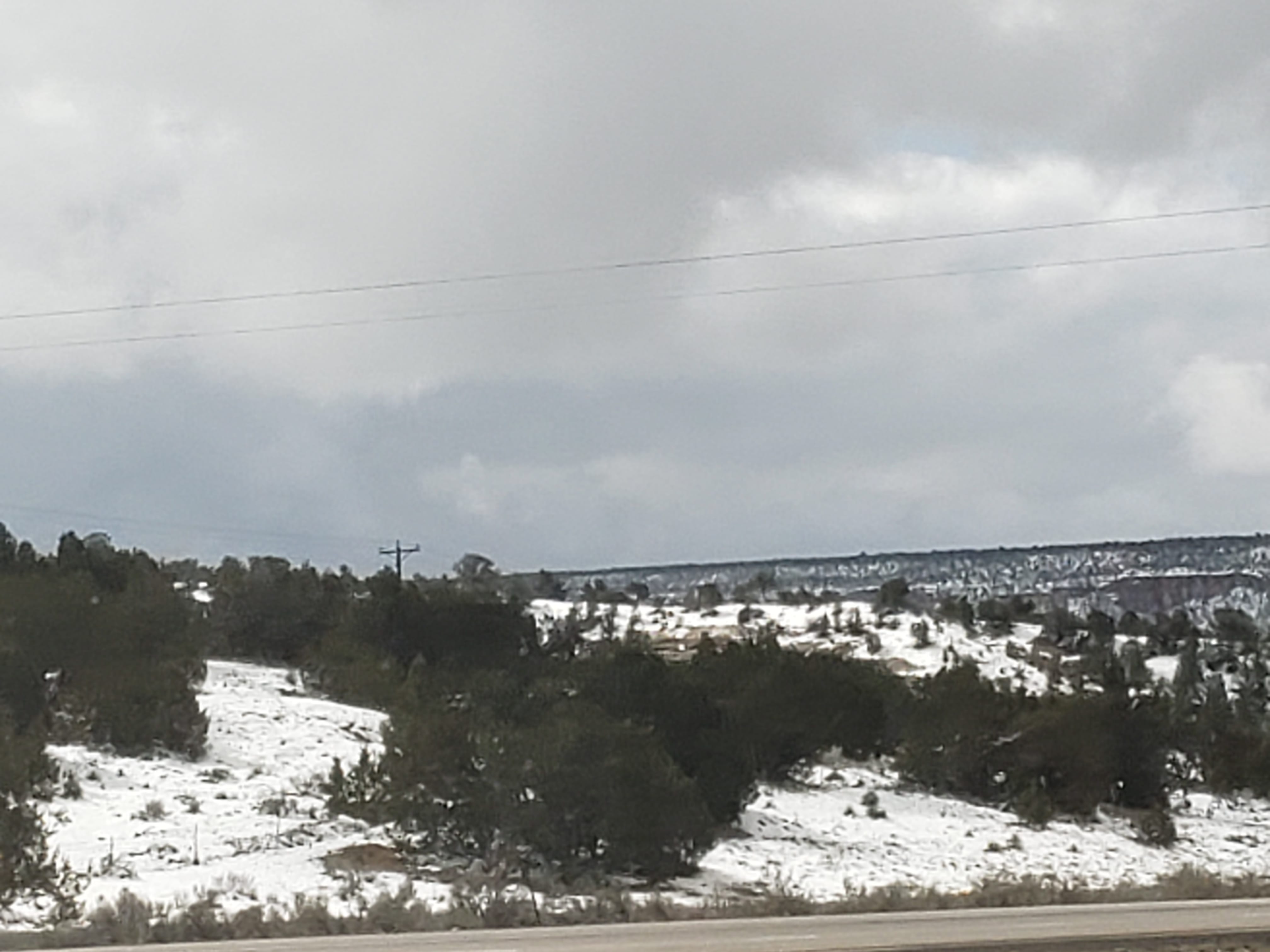
Those who have never traveled through the state may not realize is that most of it is not flat, ugly desert. There are mountains- range after range of snow capped mountains-snow capped mountains this time of year. Valleys, sure. Ya can’t have mountain range after mountain range without valleys in between.

The towns on US 95 vary in elevation from 3000 feet to over 6000 feet. Beatty (1000 souls) is fairly low at 3300 feet. Beatty is located in the Oasis Valley, home of the indigenous Shoshone people.

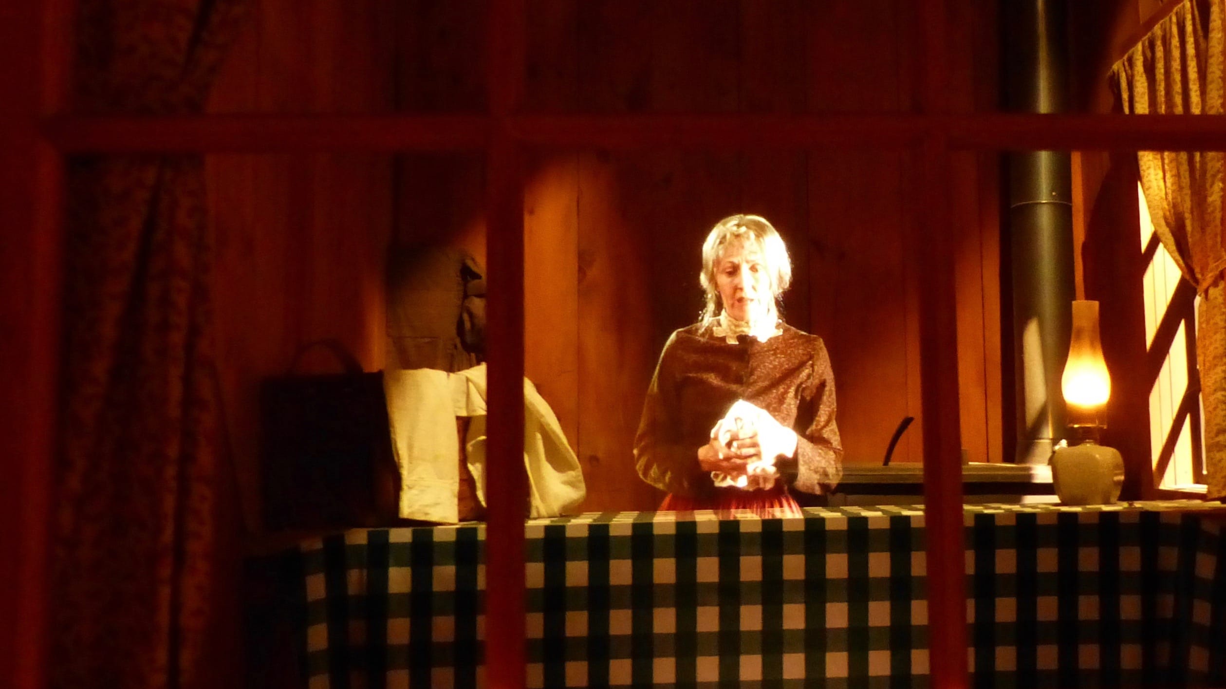
The town came to be the railroad hub for the mines in the Oasis Valley, including the Montgomery Shoshone Mine in Rhyolite. Tonopah (2400 souls), the site of the second richest silver strike in Nevada, is located on a hillside at over 6000 feet in elevation, yet still looks like desert. Jil liked the Clown Motel in Tonopah. NOT! She loathes Chuckie!

Jil’s Favorite Place in Tonopah!

Mining is a major concern in Nevada. Casinos mining the pockets of gamblers, sure, but I’m talking about mining minerals out of the ground. Gold and silver were discovered in the late 1800’s and early 1900’s. Many mines still exist but many more do not.

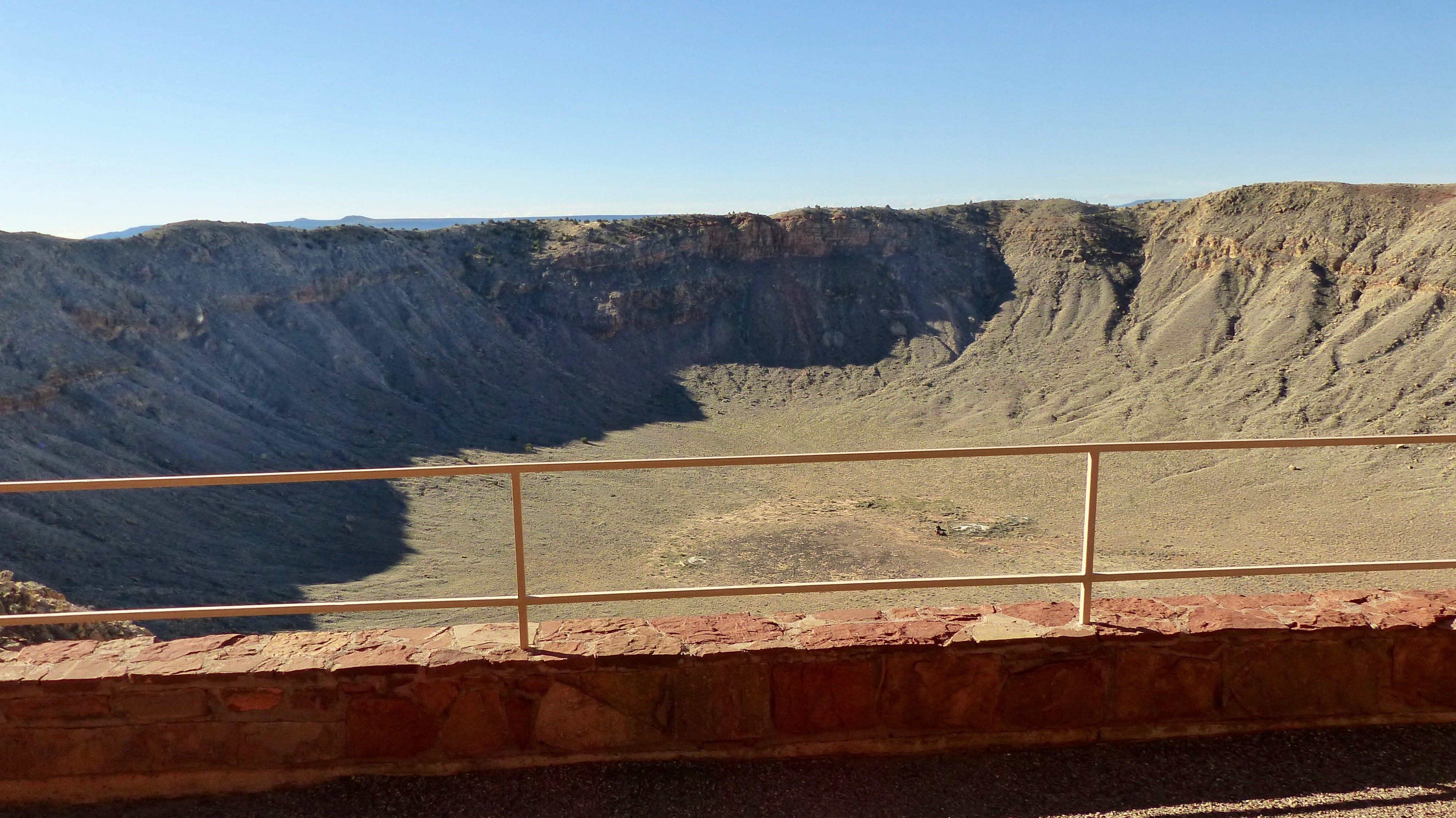
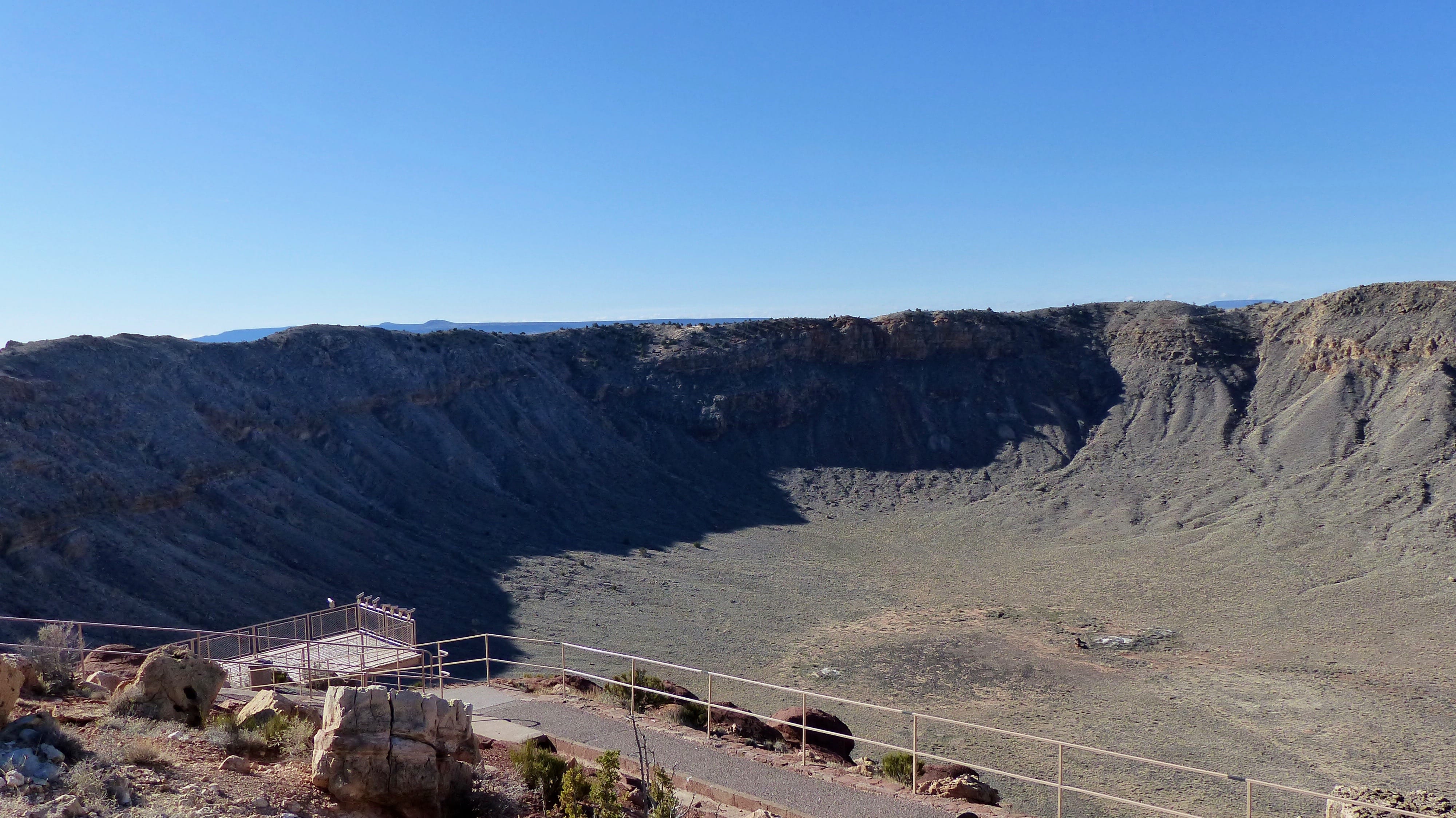
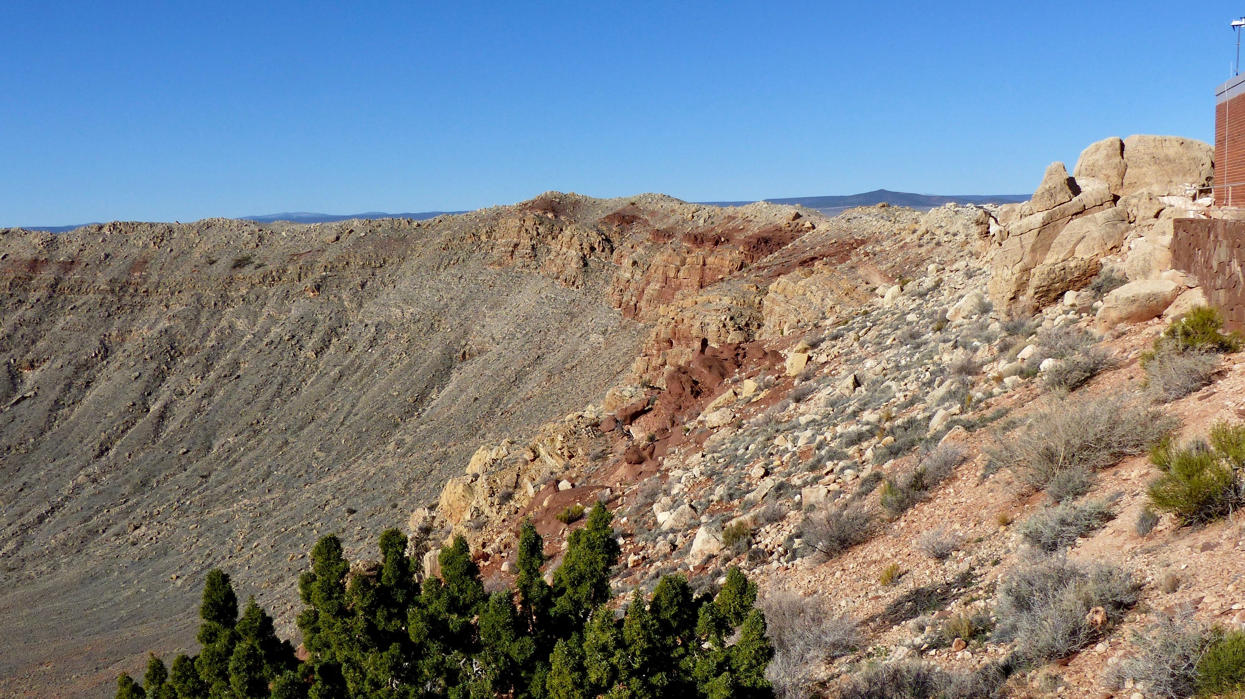
Rhyolite is one of those boom to bust gold towns which grew rapidly near the Montgomery Shosone Mine. It’s located about four miles west of Beatty near the Gold Well Open Air Museum. We didn’t visit either one of those places as we were dialed in for home. If we are ever back in this area we sure will!

Except from Wikipedia:

Industrialist Charles M. Schwab bought the Montgomery Shoshone Mine in 1906 and invested heavily in infrastructure, including piped water, electric lines and railroad transportation, that served the town as well as the mine. By 1907, Rhyolite had electric lights, water mains, telephones, newspapers, a hospital, a school, an opera house, and a stock exchange. Published estimates of the town’s peak population vary widely, but scholarly sources generally place it in a range between 3,500 and 5,000 in 1907–08.

Rhyolite declined almost as rapidly as it rose. After the richest ore was exhausted, production fell. The 1906 San Francisco earthquake and the financial panic of 1907 made it more difficult to raise development capital. In 1908, investors in the Montgomery Shoshone Mine, concerned that it was overvalued, ordered an independent study. When the study’s findings proved unfavorable, the company’s stock value crashed, further restricting funding. By the end of 1910, the mine was operating at a loss, and it closed in 1911. By this time, many out-of-work miners had moved elsewhere, and Rhyolite’s population dropped well below 1,000. By 1920, it was close to zero.

If one’s not interested in ghost towns Death Valley National Park can be accessed from Beatty or Armargosa Valley. I understand that a ten mile long lake appeared at the bottom of Death Valley a while ago. That’s what lots of precipitation can do to the desert.

Approaching Hawthorne- Mt. Grant elevation 11,300 feet.

Hawthorne (3300 souls) is where we spent our last night on the road. Its the seat of Mineral County and the nearby Hawthorne Army Depot is the primary economic base of the town.

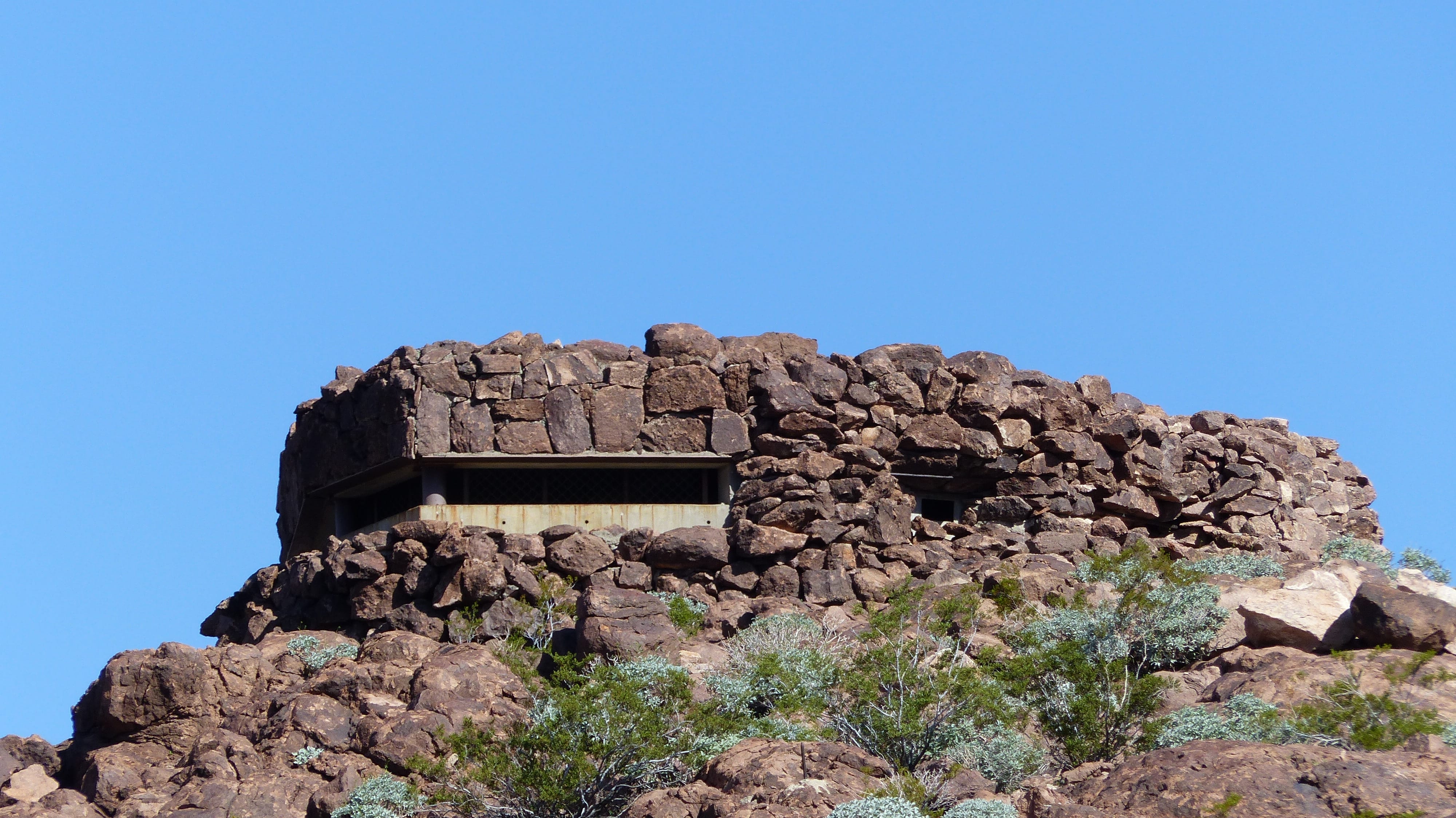
The Depot is the “World’s Largest Depot” according to the write up. Ammunition is divided into three ammunition storage and production areas, plus an industrial area housing command headquarters, facilities engineering shops and the like. It covers 226 square miles and contains over 2400 bunkers The depot was established after an accident virtually destroyed the Lake Denmark Naval Ammunition Depot in New Jersey in 1926, causing heavy damage to adjacent Picatinny Arsenal and the surrounding communities killing 21 and seriously injuring 53 others. The loss to the Navy alone was the equivalent of $1 billion today. A court of inquiry recommended that a depot be established in a remote area within 1000 miles of the Pacific Ocean. The Depot received its first shipment of high explosives in 1930. During WWII it became the staging area for ordinance for almost the entire war.

Walker Lake

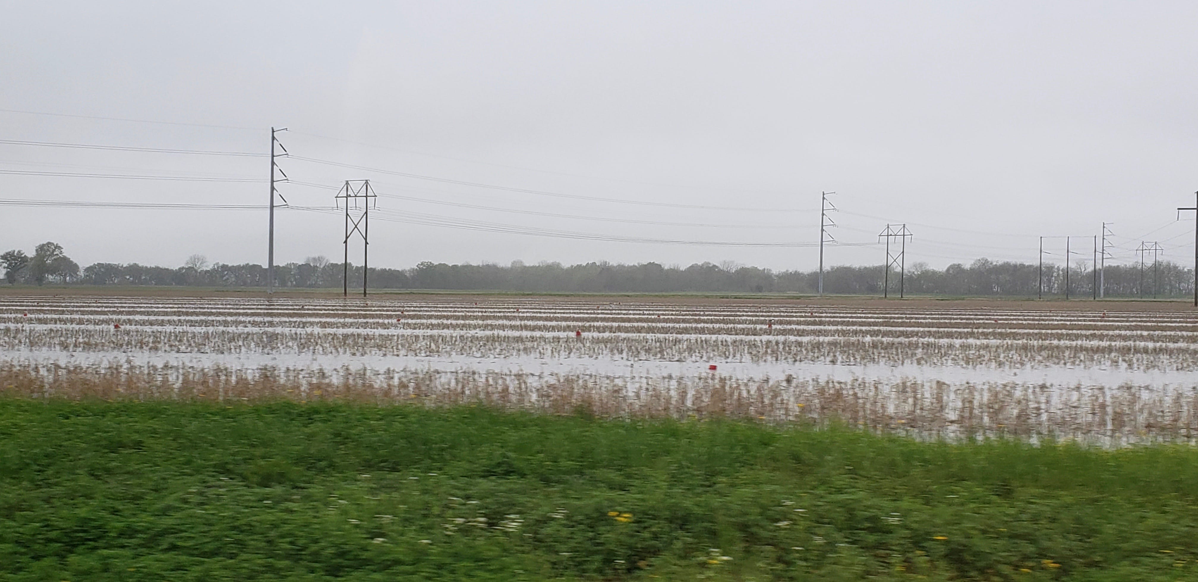
Just north of Hawthorne is 5 by 11 mile Walker Lake. The lake is fed by the Walker River and has no natural outlet. Again we follow the valleys. Some of the valleys have enough water to raise a cows, sheep and goats. Occasionally a river runs through it as is the case of the Walker River that runs through Yerington (3100 souls). We traveled through fertile valleys where farmers grow alfafa, hay. Couldn’t tell what else as growing season has not yet begun.

Wild horses and burros share a lot of grazing land with domesticated animals. Some ranchers don’t want to share their land with wild horses so their presence can be controversial.

Silver Springs (5,000 souls) is where we leave US Alternate Highway 95 in favor of Nevada State Route 439, better known as the USA Highway. Nearby is Lake Lahonton fed by the Carson River. The reservoir was created in 1905 to supply water to farmers.

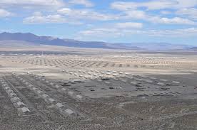
Nevada 439 is a new road connects the Tahoe Reno Industrial Center located adjacent to Interstate 80 just east of Reno/Sparks. The industrial center is the largest in the US at 107,000 acres. Its home to over 100 companies employing 4000 folks including the Tesla Gigafactory.. The facilities include rail service, water, sewer, natural gas and five power plants.

Turning westbound onto I-80 we follow the Truckee Canyon to Sparks, then through Reno. Five miles west of downtown is where we live. We have great views of the Carson Range and the Sierra Nevada Mountains. Ahhh, it’s so nice to be home!

What Big Intakes You Have!

Monday, March 18, 2019

We left Blake Ranch RV Park and Horse Motel, and yes, two horses took advantage of the hotel. We headed west on I-40 to Kingman, then US Highway 93 towards Las Vegas. Along the way we paralleled the mighty Colorado River but didn’t see much of it until we got close to a very important structure that dates back 88 years.

Our First Peek of the Colorado River.
Green Hills Near the Colorado
View of Highway 93. Photo Taken From Parking Lot 15, Hoover Dam

Some of you astute readers may have picked up on the title theme. Or maybe you’ve traveled this route before and may recognize the place to which I refer. Or, more likely my verbal nudge isn’t a very good one and no one will have a clue of what I am talking about. I vote for the latter.

So, this place has very large intakes that supply water through penstocks to massive hydro electric turbine generators. Water from behind Hoover Dam is gravity fed reaching 85 miles per hour.

Looking Upstream From the Dam is Lake Meade- Notice the “tub ring”- Water Level is Way Down

That power turns the turbines which generate electricity for many communities. In fact the average power generated before the current drought was 4.2 Two/year or enough to power 19,800,000 homes a year! To learn more of this incredible structure from planning to completion use this link: https://en.wikipedia.org/wiki/Hoover_Dam

And oh has everything changed here for the visitor since 911. A new visitors center was built and 15 new parking lots dot the hillside on the Arizona side of the dam. After the terrorist attacks on New York and Washington D.C. all vital facilities including dams were put off limits. One used to be able to cross most every dam that included a roadway. In fact the main thoroughfare for one traveling from Las Vegas to say Bullhead City, Kingman or Flagstaff included driving across Hoover Dam. For several years Hoover Dam was off limits. A very high bridge was built over Black Canyon to the south of the dam which once again allowed travel between the states of Arizona and Nevada via US 93.

Highway 93 Passes Over Black Canyon Near Hoover Dam

We spent some time at the dam but couldn’t take the mutzos on it or in it. Nor could we park the beast anywhere but on a hillside parking lot high above the dam. Parking lots are numbered one through 15 and 15 is where big rigs park. I’m sure it would have been a 3/4 mile walk down a very steep hill to get down to the dam and a huff and puff back. We got searched, or our rig did, at a security checkpoint before reaching the dam as well as did every other vehicle. 15 parking lots you say? Yes, Hoover Dam is a very popular tourist attraction. Not only the dam but several overlooks are provided along US 93 for a more broad overview of the dam and Lake Meade.

Vintage WWII Bunker Created to Protect Hoover Dam Sits High On a Hill On The Arizona Side

We push on towards Lost Wages, er. Las Vegas, skirting the Strip to its south. Las Vegas has grown exponentially over the last decade.The city’s population is over 600,000 souls. In combination with the rest of Clark County’s 2.2 million folks it accounts for 3/4 of the state’s population. A few more transitions and we are heading northwest on Nevada Highway 160 passing Red Rock Canyon and a very new master planned community on the outskirts of Las Vegas. We travel over a mountain pass enjoying the snow capped mountains to our north. An hour after leaving Las Vegas we reach our home for two nights, Lakeside Casino and RV Resort in Pahrump, NV (36,000 souls).

View From Lakeside Casino and RV Park Towards Snow Capped Mt. Charleston, Elevation 11,916 feet.

Excerpt from Wikipedia:

Pahrump was originally inhabited by the Southern Paiute. It was slowly inhabited by settlers in the late 19th century. They reportedly chose the name for Pahrump after the original indigenous name Pah-Rimpi, or “Water Rock,” so named because of the abundant artesian wells in the valley.

From here we’ll head towards Hawthorne with a one night layover, then to home. See you then!

A Surprise On Our Way To Kingman

March 16, 2019

I know, this post is a little out of sequence. It should have been posted before “Hit By A Dustdevil”. Hey, I’m not perfect, OK?

What I didn’t tell you is how nice it is to cross the shoulder of the San Francisco Peaks, the highest being Mt. Humphreys at 12,633 feet. Flagstaff (70,300 souls) is the largest city north of Phoenix. It’s a really nice city situated in prime location for businesses such as Purina PetCare and is home to the Lowell Observatory and the Northern Arizona University.

What we didn’t know was what the heck is at Walnut Canyon. The canyon is located just east of Flagstaff about three miles south of I-40. We decided to go find out since we had a short travel day. We got there a half hour before Walnut Canyon National Monument opened, so we took the dogs for a walk before the gates opened.

The following is an excerpt from the National Park Service website:

Walnut Canyon has a long human history. Artifacts show that Archaic peoples occupied the canyon at times. Later came the first permanent inhabitants, who flourished in the region from about A.D. 600 until 1400. Archeologists labeled this prehistoric culture Sinagua, from the old Spanish name for the region, Sierra de Sin Agua, or “mountains without water.” 

Scattered families farmed the canyon rims for centuries, growing small gardens of corn, squash, and beans. During the 1100s, many moved into limestone alcoves below the canyon rim, where they constructed the cliff dwellings we see today. The Walnut Canyon community thrived for another 150 years before the people moved on.

Others have visited the canyon since the Ancients departed. With the construction of the railroad nearby in the 1880s, Walnut Canyon became a popular destination; scores of “pot-hunters” streamed into the canyon. Armed with shovels and dynamite, these souvenir-seekers upturned ancient floors, toppled enduring walls, and desecrated graves.

The theft and destruction alarmed local citizens and led to establishment of Walnut Canyon National Monument in 1915. Remnants of the canyon’s past were protected first by the US Forest Service, then (since 1934) by the National Park Service.

Dogs aren’t allowed in the canyon so we parked and then walked the rim trail. We could see quite a few of the 25 cliff structures. It amazes us that folks would prefer to live on the cliffs

Flagstaff has a strong tourism factor due to its proximity to Grand Canyon National Park, Oak Creek Canyon, the Arizona Snowbowl, Meteor Crater, Sedona, and historic Route 66. We’ve stayed in this area before and enjoyed what it has to offer but hadn’t visited Walnut Canyon. Downtown Flagstaff’s streets aren’t terribly RV friendly so we decide to push on to Kingman.

Hit By Dust Devil- Suffered Huge Loss!

Saturday, March 16, 2019

OK it wasn’t that bad. We are at Blake Ranch RV Park and Horse Motel. Yes, you read that right, horse motel. Cowboys can stop here and off load their fillies into on site stables. We had some doubts as to whether we could stay at this highly rated park. We called ahead as was informed that there was no vacancy but that was before check out time. Call back! Okie, Dokies, we called back and yes, they have a vacancy now. Yay! We arrive and the work camper lady behind the desk says “Oh, Oh, we appear to have someone coming in and they reserved that spot.” Crap. “BUT, we can put you in a site over by the horses.” OK then!

So we pull into our site next to the horse stable just as two beautiful horses are being off loaded from their trailer. It’s one of those trailers that houses horses in the back and humans in the front. It looks pretty nice from the outside. Our site doesn’t have 50 amp electric service so we are somewhat limited as to how much power we can draw without tripping the breaker so we’ll have to be a little more frugal with our power usage.

OK back to the title. We just get back to the rig after walking the mutzos and a little dust devil kicks up. No big deal, everyone is inside except me- and I’m wearing my new ball cap that Jil just bought for me yesterday. It’s a Route 66/Take It Easy, Winslow Arizona themed hat and I really like it- GONE! The dust devil got stronger- and I was just able to get the door closed before all the flying debris was blown inside the rig. In the process my cap was blown off of my head and is now somewhere near the New Mexico Border by now. Darn.

I’ll probably spent an hour looking for it and never find it. I think God was trying to tell me something. You see, for some reason I was really tired yesterday. Besides being tired a few things didn’t go as perfectly as I thought they should. That caused a little dust up with Jil and it was all my fault. I felt weird like my brain was just numb. I wasn’t mad but my attitude caused My Sweetie to B.L.E.V.E. (Boiling Liquid Evaporating Liquid Explosion) and I don’t blame her. But I guess my attitude was viewed as close enough to anger by Our Lord. An excerpt from yesterday’s Gospel reading by Matthew states-“But I say to you, whoever is angry with his brother will be liable to judgment”. I think that dust devil taking my cap was actually the Lord warning me- First the hat my son, first the hat……

Visitors Center Located at 7 O’Clock at the Lower Edge of Meteor Crater

Yesterday we went to the Meteor Crater blasted out by a meteor strike 50,000 years ago. Man, that hole in the ground is big! It’s a mile walk around its perimeter. The blast debris surrounding it looks like the normal terrain so one would never know the crater is there unless they walked up to the top- and looked way down to the bottom. It is on the National Register of Historic Places but is privately owned, the same owner as the Meteor Crater RV/gas station/mini mart where we stayed.

Looking Up at Visitors Center

The claim is that the crater is the best preserved meteor crater in the world. It has been the subject of many scientific studies as is noted by wells drilled down at the bottom of the crater.

Drill Site in Bottom of Crater

At first it was thought that the crater was created by volcanic activity like the majority of them are. Scientist drilled holes looking for the meteor that produced the crater but never found it. Small meteors have been found in the area however.

The site also has a visitors center that focuses on meteors in outer space, how they affect the earth, space travel and much more. Meteor Crater is a must see if you are in the area.

Next we drove 20 miles east to Winslow, you know, this Winslow Arizona:

Lyrics: Take It Easy by The Eagles

Well, I’m running down the road
tryin’ to loosen my load
I’ve got seven women on
my mind,
Four that wanna own me,
Two that wanna stone me,
One says she’s a friend of mine
Take It easy, take it easy
Don’t let the sound of your them old wheels
drive you crazy
Lighten up while you still can
don’t even try to understand
Just find a place to make your stand
and take it easy
Well, I’m a standing on a corner
in Winslow Arizona

and such a fine sight to see
It’s a girl, my Lord, in a flatbed
Ford slowin’ down to take a look at me
Come on, baby, don’t say maybe
I gotta know if your sweet love is
gonna save me
We may lose and we may win though
we will never be here again
so open up, I’m climbin’ in,
so take it easy
Well I’m running down the road trying to loosen
my load, got a world of trouble on my mind
lookin’ for a lover who won’t blow my
cover, she’s so hard to find
Take it easy, take it easy
don’t let the sound of them old
wheels drive you crazy
come on baby, don’t say maybe
I gotta know if your sweet love is
gonna save me, oh oh oh
Oh you knoe we got it easy
We oughta take it easy

That song Take It Easy was co-written by Jackson Browne and Glenn Frye and made famous by The Eagles. Winslow citizens picked up on the “Winslow Arizona” mentioned in the song and are capitalizing the title- Take it Easy.

The 1958 Flat Bed Ford

In 1999 the small park “Standin’ On The Corner“Park was opened right in the middle of town. It features two statues, one of a dude with a guitar and one of now deceased Glenn Frye with a theme back drop painted on the wall behind.

Window Map of US Route 66- Chicago IL to Santa Monica CA
Indian Trader?

There’s lots of eye candy in Winslow. Signs, benches, window displays all tout the Route 66 and Standin’ On The Corner icons. But we also walk a short ways from downtown to visit the historical La Pasada hotel.

Came upon This Sign Near La Pasada Hotel
Metal Sculture Outside the La Pasada Hotel

The town is a railroad town established in 1881. It was thriving partly because of the railroad but mostly because its passengers spent time in town dining and staying in the hotels. The elegant La Pasada Hotel circa 1930, was built specifically for rail passengers by Fred Harvey, who “civilized the west” by introducing linen, silverware, china, crystal, and impeccable service to rail travel. He was so famous that MGM made a movie named The Harvey Girls starring Judy Garland. The Harvey Girls were the ladies who provided that impeccable service.

Passenger travel declined in the 1950’s and the hotel closed in 1957 with the museum quality furnishings auctioned off. The railroad took over the La Posada as a headquarters and moved out in 1994 after which the building was nearly demolished. Allen Affeldt purchased the building and is actively restoring same. Townfolk recognize its importance to their history and volunteer with its maintenance.

Today thousands of visitors, sometimes daily, visit Winslow specifically to visit its little Standin’ On The Corner Park and drink in the Route 66 memorabilia. It’s a nice little town to visit for sure.

We’ll see you once again as we travel farther west. Adios!

Albuquerque To Winslow

Friday, March 15, 2019

This image has an empty alt attribute; its file name is alb-to-winslow.jpeg

It was time to get the wheels rolling Thursday morning. The 35 mph steady winds had died down and what wind we had would mostly be a head wind. Our original plan was to lay over in Holbrook but there’s not much to do there.

We decided to push another 52 miles to Meteor Crater RV Park located 20 miles west of Winslow AZ. Although we traveled an hour longer we still pulled into camp at 1330 hours due to the time change. You see, the majority of Arizona is on Mountain Standard Time year round which just happens to coincide with Pacific daylight time. Going from Albuquerque which is on Mountain Daylight time to Winslow we actually gained one hour in time as the little hand on the clock moved back one hour.

Heading west on I-40 through New Mexico we cruise through and around flat mesas. It’s pretty rugged country all in all. We pass a number of small communities which we guess are predominantly Native American habitats. Many Indian casinos have sprung up along the highway and most of them have truck stops. Every truck stop we passed had a zillion trucks sitting in them. I think most of them had laid over the day before because of the extreme wind conditions. Along the way we passed a semi that was laying on its side, a wrecker crew attempting to upright the rig and its trailer.the Arizona border At the Arizona border is a very picturesque rest area.

At the Arizona border is the Yellowhorse Trading Post. The trading post is decorated with very colorful buildings, at least as colorful and the bluffs behind it. We didn’t stop there but we did stop next door at a most beautiful rest area. This portion of Arizona and much of the countryside we passed through in New Mexico is just drop dead gorgeous.

Eventually the mesas and red and buff striped bluffs make way to rolling plains. Surprising was the amount of snow clinging to the mesas but this is pretty high country.

The Continental Divide at Interstate 40 is over 7200 feet. I haven’t seen an elevation sign less than 5000 feet since leaving Alburqueque NM.

We stopped in Holbrook (5050 souls), seat of Navajo County. The town was founded around 1881 when the railroad was built and named in honor of the first chief engineer of the Atlantic and Pacific Railroad. After the railroad was established one of the largest ranches ever to exist, the Aztec Land and Cattle Company was established. That brought cattle rustlers, outlaws, sheepmen, and farmers all competing for the same land. A bloody range war ensued known as the Pleasant Valley War.

There are many wonderful sights not too far from Holbrook. El Desert Pintada, aka the Painted Desert, Meteor Crater, Hopi ruins and the Grand Canyon are within striking distance. And don’t forget Sedona with all its beautiful red rock formations nor the alpine town of Flagstaff.

Jil found a dog park on the internet that is in Holbrook and wanted to check it out. Yeah, right, I’m thinking. It probably is a dirt area full of loathed goat head stickers enclosed by a chain link fence. But by golly it was a nice sized grass area with a very large paved parking lot surrounding it on three sides. The mutzos really enjoyed the romp on real grass! We drove through Holbrook and back onto Interstate 40, driving past Winslow, continuing 20 more miles west to Meteor Crater RV Park.

Meteor Crater RV Park is pretty nice. There’s not much grass in this neck of the woods so the owners created large gravel islands between the RV parking pads and furnish picnic tables. There’s also a few trees around. The drive thru sites are adequately long. Out front is a small convenience store and a gas station. It’s a comfortable park.

This will be a good stop. We plan to visit Meteor Crater and the town of Winslow while here. More next time!

Plaza Vieja- The Old Town Square

Wednesday, March 13, 2019

Route 66 Sign- New Mexico Style

Our Lab Megan had to endure thunderstorms yesterday- she was a mess. Today the wind event began at 0600 hours and is now blowing a steady 35 miles per hour and gusting at 50+. So windy that we decided to pull our slides in to protect the slide toppers. Neither of our mutzos enjoy that kind of wind. As a matter of fact neither do we. Gads, what happened to nice, mild sunny days?

Today we are going to plow through all of the wind and visit Albuquerque’s Plaza Vieja.

But first, a little history supplied by Wikipedia:

Albuquerque was founded in 1706 by Governor Francisco Cuervo y Valdes. Cuervo reported that the new settlement was home to 252 residents and had been laid out with streets, a plaza, and a church in accordance with the town planning regulations set forth in the Laws of the Indies. It later emerged that much of Cuervo’s account had been exaggerated and the original “villa” was just a scattering of farms along the Rio Grande rather than a centralized settlement. Despite a formal investigation, the villa was allowed to keep its title and a more legitimate town was soon established. Possession of Albuquerque along with the rest of New Mexico passed to Mexico in 1821 following the Mexican War of Independence.

Mexico didn’t own New Mexico very long. In 1846 during the Mexican-American War, U.S. forces took control of the territory without resistance. A U.S. army post was established in Albuquerque. In 1860 the population was 1608, a third of which was made up of the army garrison. The town was captured by Confederate troops in 1862 but they were forced to retreat as they lost their supplies at the Battle of Glorieta Pass.

The Atchison, Topeka and Santa Fe Railroad reached ABQ (Albuquerque) in 1880 building a depot about two miles east of the plaza. That led to the creation of “New Albuquerque (now downtown) which quickly boomed and was incorporated as the City of Albuquerque in 1891.The Old Albuquerque quickly declined as businesses moved to New Town. By the 1930’s hardly any businesses were still operating around the plaza. The 1940’s was the turning point for Old Town as people began to notice the historic value of Old Town. It was annexed into the new city in 1949 bringing improvements like paved roads and sidewalks for the first time. Old Town has developed into a popular tourist attraction with most of the adobe houses repurposed into shops, restaurants and galleries.

Old Town is about 15 minutes away. We arrive before most of the stores, restaurants and galleries are open. No matter, we are more interested in the historical buildings more than shopping or eating. We walk around the plaza, then go into the gift shop/museum. Our luck holds- the museum is closed but the gift shop is chock full of great religious items. We ask if the church is open and it is.

The Cross, and All Statuary Shrouded in Purple Cloth
Hamming It Up – Still Lousy Selfie Takers

San Felipe de Neri Church was started in 1706, the current church built in 1793 after the old church collapsed a year earlier during a very rainy summer. The church is cross shaped with walls 5 feet thick. Except for the tin ceiling, the brick floor and south entrance the church is the same structure as in 1793.

We enjoy walking around the plaza and the historic buildings that surround it. We might not be history buffs as such but we do appreciate the history and the historic buildings of places like Old Town Albuquerque.

Other than doing some shopping at Walmart we are hunkered in here at the RV park. The wind is atrocious. Hopefully it will subside enough to allow our westward movement in the morning.

New Mexican Sasquatch? Hmmmm…………..

A Little Closer to Home

Monday, March 11, 2019

Closer to home, yes and a little more safe as we are now out of the severe weather zone we left behind in Clovis, NM. No, the weather is not ideal. Rain and thunderstorms are predicted through tomorrow then a high wind advisory for Wednesday. Mother nature is not being kind to a lot of folks across the United States.

So we head out westbound on US 84. Who knows what we’ll discover on our way to Albuquerque. Well, we found a place called Fort Sumner, the place where Billy The Kid was shot and killed by Sheriff Pat Barrett, and buried in the Fort Sumner cemetery. Who would of thunk it? We follow the signs to the historic Fort Sumner and the cemetery where Billy is buried.

I’m a little skeptical driving the beast down narrow country roads, not because the roads are narrow but with the inevitable lack of places to turn the beast around. It turns out that a large parking lot allows us to turn- and park at the Fort Sumner Museum which is closed today. Nonetheless we walk the Fort Sumner cemetery where William Bonney, aka Billy the Kid and his pals are buried.

The Elusive Tombstone of Billy the Kid

Also buried here is Lucien Maxwell who bought the failed fort which included the largest single tract of land owned by any one individual in the United States.

An International Site of Conscious

Fort Sumner was established in 1863 to ovesee an internment camp for 500 Mescalero Apaches and 10,000 Navajos on the Bosque Redondo Reservation. Unfortunately there was an inadequate clean water supply, insufficient food and inadequate shelter. These harsh conditions led to rampant disease and hundreds of deaths. The Mescalero Apaches escaped but the Navajos remained imprisoned until they signed the Treaty of 1868 and returned to their homeland in the Four Corners region

Albuquerque has a lot to offer. Weather is going to impact our visit. Thunder is not our Lab’s friend so we hope the storms coming through tomorrow are kind to her. Our Aussie, Doyle doesn’t seem to be affected too much. He just sympathizes with Megan.

My cousin Barbara lives in Los Alamos about two hours away. We’d love to visit them but you know, the KABOOMS kind of make that a no go. Instead Barb and Ed were willing to come to our location, the American RV Resort just west of Alburquerque. It’s a two hour drive for them and we are thankful that they understand our furry ones anxiety concerning the Kabooms. It will be a great visit as we haven’t seen them in a few years.

Nasty Looking Clouds East of Albuquerque and the Sandia Mountains

We travel through the high plain east of Albuquerque US 84 to I-40 west. No rain or thunder yet but you can see at least rain is in the forecast. Then we see something that you might only see in the Southwest- miles and miles of billboards advertising Bowlin’s Flying C Ranch a fueling station and gift shop. Not just the ranch but possibly the store’s entire inventory. Signs line both sides of I-40. Sheesh! The closer one gets to Bowlin’s the closer together are the billboards!

The Flying C Ranch

Clines Corners also gets it’s fair share of advertising. It even has it’s own interstate signage. You know, Clines Corners-11 miles, Clines Corners offramp.

Anyhow, we land at the American RV Resort a few miles west of downtown Albuquerque. Down go the jacks, out go the slide rooms, utilities are hooked up. We are here for three days. Yesterday thunderstorms were predicted but it only rained. Today more thunderstorms and wind are predicted. Tomorrow a high wind advisory has been posted for the entire region. I don’t like traveling in 30-50 mph steady winds, so we are here until at least Thursday.

See you next time!

A Grackle Decided to Strut ii’s Stuff on Our Rig’s Side View Mirror

Heading Towards Albuquerque, NM

Sunday, March 10, 2019

Note: Most photos on today’s blog were borrowed from the internet as the onboard photographer’s shutter finger was sore. Or something like that….

Our normal routine in the morning was no different than normal. Walk the dogs, pack up, pick up, jacks up and away we go. But were are running an hour later than our normal 0800 hr. departure. Why? Daylight Savings is now in effect. So we left at 0845 and headed west on I-20. Sunday morning traffic is usually light and this morning was no exception. Originally we were going to stay a couple of nights in Lubbock (256,000 souls) but the coming severe weather event scheduled for Monday night and Tuesday scared us off. We transition on to US 84 at Sweetwater heading north towards Lubbock.

Lubbock is a big city, the eleventh largest in the state. You’ve heard that everything is bigger in Texas and for the most part that’s true. An example of big is if you enter Texas from the west on Interstate 10 near El Paso and exit at the Louisiana border one would travel 877.5 miles. That’s longer than runner up I-5 that runs the length of California from the Mexican border to the state of Oregon by 85 miles. Third place goes to I-20, also in Texas.

Lubbock is located in northwestern Texas in a region known historically and geographically as the Llano Estacado, the Staked Plains. The Llano Estacado is one of the largest mesas on the North American continent at 37,000 square miles. That’s Texas big! Legend has it that when the Spaniards explored this region they drove stakes in the ground so they could find their way out. The plain rises from 3000 feet to 5000 feet at a steady rate of 10 feet per mile and tilts southeast to northwest. One can actually see the shoulder of the mesa as we drove north.

The city celebrates rock and roll legend Buddy Holly with the Buddy and Maria Holly Plaza, hosts the Buddy Holly Music Festival, renamed the Lubbock Music Festival, and a new performing arts center. It is also home to Texas Tech University. Five major wineries are in the region, the National Ranching Heritage Center, the American Cowboy Culture Association and much more.

Texas Tech University

Weather wasn’t too bad on this leg of our trip. It rained off and on for a couple of hours, the wind blew constantly coming mostly as a quartering, following wind so I didn’t feel like I wrestled that 400 pound gorilla again. We drove through miles of prairie with only a smattering of cattle visible. Then we came into more fertile land, or maybe more abundance of water, with big farms producing- nothing- remember its winter. But we did see hundreds of huge rolled bails of cotton as this area is the largest contiguous cotton growing region in the world. We also passed several large dairy farms and growing lots with plenty of very young black and white cattle.

US Highway 84 takes us through mostly cattle towns south of Lubbock but then there’s a change on her north side. Starting in Anton (1100 souls) we see huge storage silos which prominently poke up 100′ in the air. Cotton doesn’t require silos so they are used to store other main crops such as corn, grain sorghum and peanuts. Sudan (1100 souls) sports a six silo grain elevator that is in sad shape and obviously not being used. Unlike most of the other communities we pass through Sudan looks like its dying.

Mule Monument in Muleshoe. Notice the Grain Elevators in the Background

Muleshoe, on the other hand is a thriving community of 5,000 souls, seat of Bailey County. It’s home to the National Mule Memorial, and the Muleshoe Heritage Center which commemorates the importance of ranching in West Texas. Twenty minutes away is the Muleshoe National Wildlife Refuge, the oldest of its kind in the state of Texas. I know, your dying to learn how Muleshoe got its name. It was named after the nearby Muleshoe Ranch.

Right on the Texas/New Mexico border is the town of Farwell, Tx (1360 souls) and right across the railroad tracks is Texico, NM (1100 souls). They are that close. Farwell is the seat of Parmer County. Farwell began as a cow camp for the XIT Ranch and named after the two Farwell Brothers who built the state capital building in exchange for 3.05 million acres of virgin ranch land. Ever heard of the Red River War? It was the largest military operation for the U.S. between the times of the Civil War and WWI. Five armies converged on this part of the High Plains, ultimately defeating the main Comanche force in Palo Duro Canyon by driving off and killing the Comanche’s horses. By the way the XIT Ranch failed because of massive cattle rustling, ultimately the ranch was sold off in parcels to families drawn by the cheap price of land.

We finally reach Clovis after what seems forever. We’ve been limiting our travel days to 150 miles, more or less. This one was 120 miles longer. We aren’t used to traveling that far anymore. The elevation of Clovis is a surprising 4200 feet, a gain in elevation of 2500 feet since leaving Abilene. We worked our way up the mesa’s tilt not realizing that we were gaining 10 feet of elevation every mile. We look at each other a say, “Heck, it looks pretty darned flat to me!”

Clovis-Gateway to the Sierras?

We slide into the outskirts of Clovis heading west and we spot a park- and we have room to park the beast! As we walk passed the kiddie play area a soccer field emerges. No one is around so Jil unleashes our Lab Megan. The next thing I know Jil is yelling her head off for Megan to come back to her. Megan had left the soccer field and went running into a vacant lot. When I see her she is running fast to one place, slams on the brakes and heads in another direction. Her antics continue running to, slamming on the brakes, then running fro. And so does Jil’s yelling for her to return. I ask “What the heck is going on?” And this is the reply, “She’s chasing prairie dogs! When she gets close to one they duck into their burrow, then she chases after another, then another!” The lot is a full blown prairie dog town! Megan finally comes back out of breath. It wasn’t funny that she wouldn’t come back to Jil but very amusing that she was playing Doggie Wack a Mole (OK Prairie Dog).

Excerpt from Wikipedia: Clovis is largely an agricultural community, closely bordering Texas, it is noted for its role in early rock music history and for nearby Cannon Air Force Base. After the discovery of several “Clovis culture” sites in eastern North America in the 1930s, the Clovis people came to be regarded as the first human inhabitants who created a widespread culture in the New World. Clovis people are considered to be the ancestors of most of the indigenous cultures of the Americas. The Atchison, Topeka, & Santa Fe Railway system helped to establish Clovis over a hundred years ago, and for that railroad and its successor BNSF Railway continues to be a major hub of operations. Also notable is the Southwest Cheese Company, the largest cheddar cheese producer in North America.

ClovisSo here we are in Clovis (39,000 souls), staying at the Travelers World Campground. It’s located on US 84 with railroad tracks running a hundred yards behind. Surprisingly, it wasn’t too noisy at all. Grass separates the sites. I should say dormant grass separates the sites. The access roads and site pads are gravel. All four sides of the perimeter are doggie friendly mowed grass, but don’t let the furry ones wander off of that grass as the dreaded goathead stickers lurk!

One night here and hopefully we’ll escape the predicted severe weather beginning tomorrow evening and head to Albuquerque. Albuquerque will only have occasional thunderstorms, non predicted to be severe.

Abilene- Wind, Downpours, Lightning and Kabooms- But Fun!

Saturday, March 9, 2019

It took a while to map a work around out of the Dallas/Fort Worth area. After 10 miles of lighter traffic and only getting cut off twice by people trying to merge onto I-35 we get off the interstate and onto a US highway. It didn’t take long to vamoose out of the city and into the country. Not far down the road is the town of Decatur, seat of Wise County. Signage was good until we got into the middle of town.

I like to follow the signs when we transition from one highway to another. Ah, a sign to highway 51, cool! Jil’s “Miss Smarty Pants” phone is routing us another way. I ignore the phone and follow the signs…… until there aren’t any. Crap. Since I ignored “Miss Smarty Pants” Jil ignores it also……. until we don’t make a proper turn to highway 51 and drive off towards Never Never Land again for lack of, you guessed it- signage. Miss Smarty Pants saves the day again but Jil is aggravated at me for not following Smarty’s directions. I’m aggravated because the signs to highway 51 ceased to exist- and I don’t trust little Miss Smarty Pants as she has put us in some doozies of predicaments. Hot tempers slowly return to normal. I have to get a good map application specifically made for big rigs, and soon.

I wanted to drive through Weatherford as it looked like a beautiful town but Miss Smarty Pants routes us around town. OK, I concede, I’ll follow her directions- this time. Soon we are back on I-20 heading west. As usual the interstate bypasses many smaller communities. Signage tells you that they are close by but one cannot actually see the towns from the highway. Ranger (2400 souls) is an exception as we can actually see its water tower and maybe even downtown as we pass by. Eastland (3900 souls) is another town we actually can see.

Notice Old Rip is Missing a Leg- Then Governor Connelly Picked Him Up By That Leg……

Eastland, seat of Eastland County, has a ‘true’ story concerning the construction of a new courthouse. A few documents, proclamations and a Bible were laid in the cornerstone. At the last minute a justice of the peace walked up with a Texas horned lizard that his son had caught and placed it in the marble block before it was sealed. Thirty years later that courthouse was replaced with a larger one. The old was torn down, the cornerstone opened and construction workers pulled out what appeared to be a dead horned toad- then it moved! Will Wood, the boy, now man who caught the lizard took it on tour. Old Rip met President Calvin Coolidge at the White House. He appeared on stage in Dallas. Eastland people felt Old Rip was city property and demanded the lizard be brought back to Eastland and sued. The lizard was brought back, kept in a gold fish bowl and fed ants. A year after his return his was found dead in his bowl. Of pneumonia, the papers said. He was embalmed and placed in a velvet lined casket. Old Rips story goes on but I’ll stop there. You can read about him on the internet.

Bypassing Cisco (3800 souls) and a couple of other small towns we arrive in Abilene, our “safe haven” for a couple of nights. Last night we had one hell of a thunderstorm roll through with heavy downpours- but no severe weather. Our Lab, Megan would argue with that statement because she is not a fan of loud noises- KaBOOM! We got our fair share of thunder and lightning last night. Megan shook like a leaf, poor girl.

We drove into Abilene this morning. It’s a true town of the wild and wooly West. Many folk of notoriety lived or passed through here. Do the frontier legend names Doc Holliday, Wyatt Earp, Billy the Kid, Butch Cassidy, Pat Garret or Big Nose Kate ring a bell? Big Nose Kate, nah, but the others, yes.

Halograms Look Like Real People

We learned all about them and life at that time at the wonderful Frontier Texas Museum. Displays featuring those who lived here. Narrative was of their perspective during that period of time. Native Americans, the frontiersmen who basically annihilated the bison on the prairie, and the cattlemen who found the bison less prairie ideal for raising cattle. Housewives, saloon keepers, all told their stories. This was all done with the written word, videos in amphitheaters, displays sporting hologram characters in sets such as wagons, saloons, etc. that did a great job of explaining life back in the day. This is a must see place!

Everything is Bigger in Tejas!

We took a walking tour of old downtown Abilene. I wouldn’t say it’s special but it does have some interesting buildings and occupancies

Tomorrow we move once again. Yep, more severe weather predicted in the Abilene/Lubbock area. We’re heading northwest past Lubbock and into safer country. Until then, Via con Dios!

Lewisville, Tejas

Thursday, March 7, 2019

Traveling west and out of the predicted severe weather area that the National Weather service had published seemed the better part of valor. Call us coward if you will but we’ve been a few hours away from some towns devastated by tornadoes, which is too close for us. We picked up, packed up and jacks up and were out the door, so to speak, on our way to the Dallas, TX area before 8am on Wednesday. Interstate 20 will take us to the Dallas area then a series of jukes up to Lewisville where we’ll spend a couple of nights at the Lake Park Campground, just a part of the City of Lewisville’s huge Parks and Recreation complex located on the shore of Lewis Lake.

The ride west on I-20 was great. Good scenery with lots of trees with many of them leafing out and not much wet bayou type country. The interstate avoids most towns and skirt two major Texas cities, Tyler (104,000 souls) and Longview (81,000 souls). Tyler is known as the Rose City for its rose production. In fact it has the largest rose garden in the United States.

Traffic is pretty light until we reach the outskirts of Dallas. Our destination is north of the city so we have to do our best to skirt the megalopolis. Well, that didn’t happen. Everyone else had the same idea. Traffic is heavy on US 80, I-635 and I-35. US 80 and I-635 were meant to provide a means around city center. Traffic accidents on both sides of the highway slow traffic even more. In fact, like other bypass sections of interstates, they instead allow the city to sprawl. We’ve been fortunate thus far to have avoided heavy traffic. So to say the last 40 miles of our journey was unsettling is an understatement.

We chose to stay in a location half way between two points of interest- senior housing developments, one in Denton which is located on the west shore of Lewis Lake, and one on the east shore of Lewis Lake located in Frisco. Lake Park Campground, a City of Lewisville (106,000 souls) venue, is smack dab in the middle of them and that’s where we stay.

The campground is only one aspect of the entire park. Located on the large 29,000 acre Lewis Lake it has a boat launch, a large picnic area, several large lighted baseball fields and soccer fields. It appears that some ball fields and the soccer fields are in the process of receiving light so they can have games after dark. There is lots of room for us to roam with the doggies and that is what we prefer.

Anyhow, after we checked into the park office we take several minutes to set up in our site for two nights. Leveling jacks go down, room slides go out. As the last slide goes out this god awful very loud noise just about has me jump out of my skin. We’d been having a little problem with one of our slide rooms balking so I initially thought that the slide hydraulics were blowing up as I had my finger on the button that controlled that particular slide rooms movement! Or something like that. But the noise was very loud and seemed to be coming from outside. I went outside and yep, that’s were the very loud noise was coming from.

It was so loud I couldn’t triangulate where the source was located. The noise stopped less than two minutes later. Phew! The mutzos didn’t like that at all- and neither did we……. Yep, Thursday 1300 hr. test of the tornado warning sirens! Sheesh!

Anyhow, the park charges $11, yes you read that right, $11 a night to camp here if you are a senior and that includes 50 amp electric service and water on site with a really nice sanitary dump station and run of the entire park. I think it’s less the than $15 for everyone younger. The only downside of the RV portion of the park is the parking pads are in need of some maintenance and we are in the flightpath of Dallas Intenational. Luckily the plane engines are throttled down as they are on final approach.

Back to why I am here in the Dallas area……….. First, I love to drive a 35 foot motorhome towing our Subaru through wilting traffic conditions. I love to drive I driving in adverse conditions and not understand all the highway signage that is foreign to everyone not native to Texas. I love driving the speed limit and have cars camped two inches off of my back bumper. And I love trying to merge 50 plus feet of rolling stock from one lane to another with not one driver willing to yield 50 feet of real estate. Yep, that’s why I am here.

A Del Webb development-Frisco Lakes in Frisco, TX
One of Three Swimming Pools

Well, that is what goes on for the driver of this big rig but the real reason we are here is Jil wanted to check out a Robson and a Del Webb Senior Community. We only made it to the Del Webb community in nearby Frisco.

Spacious Libraries
A Nice Place To Eat And Converse With Friends and Neighbors
One of Three Well Equipped Fitness Centers

That community is really nice. Nice homes, nice amenities. 3000 homes will be built. It’s amenities include a public golf course, three large community centers, three outdoor swimming pools, one indoor swimming pool, large event rooms (450 folk capacity) , craft rooms, billiard rooms, tennis courts, pickleball courts, miles of walking paths- all at a reasonable price for the homes and monthly owner assessments.

Lots of Community Activities

It’s all very nice but this part of the world doesn’t excite me. I’m used to SoCal and Reno weather, not Dallas weather. It’s a little too far from family. I’m used to the light Reno traffic, not that of the megalopolis of 1.3 million people, all who drive on the interstates at the same time, called Dallas. We wanted to see Del Webb, Frisco Lakes and we did, so there.

Next we head west once again. A storm is brewing and it’s headed right for Dallas. See you next time!

Shreveport, Louisiana

Tuesday, March 5, 2019

We are staying at another KOA which is so much unlike us. We’ve stayed in three so far.

Spacious Dog Park

There were several places in Shreveport (192,000 souls) that we wanted to visit, Holy Trinity Church, the Cathedral of St. John Berchmans, a Confederate statue that stands in front of the Caddo County Courthouse, the Mardi Gras Museum and Riverside Park.

We can go years without staying in a one of them. The Shreveport/Bossier KOA is OK as have been the other two.

It didn’t take us long to get downtown using Interstate 20. Unlike the French Catholic influence nearer the coast this area of Louisiana is not dominated by Catholicism.

The first place we visit is the Cathedral of St. John Berchmans, consecrated in 1929. Uh, oh the church is locked! This is the first church that we’ve visited in the South that has not had its doors unlocked.

The parish office is next door and the kind lady there let us in and gave us a short narration of the church and its parish. The church is as beautiful as expected. Unfortunately work was being done on the electrical system so the lights couldn’t be turned on- and boy, was it was dark in there. But we got it- it is beautiful!

Next we head to downtown Shreveport. We’ve been to a several large downtowns on this trip and what has amazed us is the lack of traffic at nine or ten in the morning. When do these places come alive, if ever?

Holy Trinity Church dates to 1896 and is on the National Register of Historic Places. Unfortunately, this church was also locked. At least we got a good look at the old gal from the outside.

The Caddo Parish Courthouse has a controversial statue out in front. This monument lionizes Confederate leaders Lee, Jackson, Beauregard and Brigadier General Henry W. Allen, Civil Wartime Governor of Louisiana from 1864-65 by the United Daughters of the Confederacy, created in 1905.

Rather than creating memorials to the men who perished which was their norm, this monument and others were aimed at vindicating the antebellum South and controlling the historical narrative of the Civil War and Reconstruction. Just recently a federal judge indicated that the parish can remove the statue from public grounds.

A place of interest that exists in this town is the last working steam powered water plant that finally shut down in the 1980’s, nearly 100 years after it was built.

The plant pumped clean water three miles from Cross Lake. Why pump water that far when the Red River runs through town? Well, it’s called the Red River for a reason.

It carries an ungodly amount of particulates and debris. And we didn’t know this- the water is very salty as it picks up salt deposits from deep within the soil. We’re told by the docent that it’s not as salty as the ocean but pretty salty. Jil read that the river picks up 2400 tons of salt on its way to the ocean.

Anyhow, the water from Cross Lake was aerated, lime softened the water and alum coagulated suspended particles out of the water. The treated water was then pumped into the city’s mains.

The waterworks is now the Shreveport Waterworks Museum. When the plant was shut down it was left intact and is recognized by the Smithsonian Museum.

Also on the premises is a small railroad museum that features local railroads.

Next we cross the Red River into Bossier City and go to the Riverside Boardwalk. I’m thinking it’s a nice grassy area next paralleling the Red River that I’ve seen on Google Maps. That park was on the Shreveport side of the river.

This Riverside Boardwalk in Bossier City and is a freaking MALL!

Texas Bones Restaurant Signage

Well, it does have a concrete walk down alongside the Red River but it’s sure not what I’m expecting. It does offer some great views across the river of downtown Shreveport, however.

Jil picked this place out to visit- score one for Jil. Jil didn’t go shopping- score one for Mike!

Bossier City also has the Mardi Gras Museum. Strike two- it’s closed. However on its grounds are Mardi Gras floats being readied for tonights big celebration- Fat Tuesday.

Fat Tuesday is the day before the beginning of Lent. Lent is a Christian 40 day solemn religious observance that begins on Ash Wednesday, tomorrow, and ends before Easter Sunday.

Fasting is traditional on Ash Wednesday, and every Friday thereafter during Lent so the Tuesday before Ash Wednesday is the last day to pig out, so to speak. Thus Fat Tuesday!

We’ve seen what we wanted to see. We’ve driven the streets of downtown Shreveport. We’ve visited the churches, the waterworks, the Riverside Boardwalk, the Mardi Gras museum. We are done.

A couple of things of note: the weather and THE WEATHER. The deadly storm that blew through a couple of days ago was created by a cold and warm front. Both merged and caused death and an incredible amount of damage in Alabama and Georgia. The weather: what remains is cold air drifting down from the Arctic. The temperature here in Shreveport was 37 degrees when we arrived yesterday afternoon with a low of 24 degrees last night. Today was a balmy 47 degrees. Normal is in the mid 60’s. Tonight may break a record low of 24 degrees. THE WEATHER: Another round of severe weather is due in a large multi state area beginning Saturday. The weather guessers aren’t sure where the bad weather will extend but they know it’s gonna be a dusey.

That said we decided to move on to the Dallas area a day early, Wednesday, and leave there on Friday heading towards Abilene. That will take us out of that iffy severe weather zone and closer to home. At least that is the plan.

Trees Starting to Flower

Big Storm- Time To Move!

Monday, March 4, 2019

OK, so we were going to move anyway……… It’s time to start heading a little farther west. Yes, I know, you looked at the map and said to yourself, “Self, that’s not a lot farther west and it is a lot farther north!” And, Self, you’d be correct. We are pretty much done with the coastal areas of the South and want to head more inland.

Back to the storm. We were sitting in a “marginal area” for severe storm activity beginning last Saturday evening. Marginal means a 5% chance of severe storms. You know, storms that produce high sheer winds, severe lightning storms that produce large hail and an occasional tornado. The prediction was for “heavy thunderstorms”, whatever that means.

Well Saturday evening is when Frog City RV Park put on the crawfish boil- and the weather was pretty good. Overcast as usual but pretty good. We learn from the weather guessers that the storm is coming in quite a bit later than predicted but are still guessing that we’ll have quite a bit of rain and a goodly amount of thunder and lightning.

This is what really happened. Sunday morning I had walked our Lab, Megan, who has a bad habit of needing the most perfect spot to take a dump. That means we could walk for a mile before she decides that she has found that perfect spot. It doesn’t matter that her colon could be bursting, she will always have to find the perfect location to do her duty. We could be out for a very long time, sometimes a half hour or more until she relieves herself. Doyle, our little Aussie, on the other hand is not shy. When he needs to go he goes- sometimes in the least discreet location- like on a sidewalk.

OK back to what really happened. It started raining- hard. Then it would let up for a while. That’s the time we’d take advantage of walking the dogs. The streets in the park started to flood. Oh My! The weather stayed that way for a few hours but no severe weather in our area, and no thunder. About mid morning we were walking the dogs a noticed a very dark low hanging band of clouds to our north. THAT LOOKED OMINOUS! It passed by and did not affect us but 50 miles east that same storm cell dropped golf ball sized hail on a place called Gross Tete.

Temperatures this morning were a muggy 70+ degrees, even with the rain and cloudy skies. After the warm front was pushed east the cold front took over- and how! The temperature dropped 30 degrees in just minutes. Sort of reminded me of what folks in Texas have been known to say- “If you don’t like the weather now, just wait a minute”. The warm and muggy weather is gone which means in my mind the minimal threat of severe weather has passed.

It turns out that we were on the tail end of the most deadliest storm system of 2019. As the storm progressed I followed it in real time on internet weather sites and on TV. The entire area east of Baton Rouge, LA lit up in red outlines by counties (Parishes in Louisiana), red outlines meaning a tornado advisory was in effect. Those outlines shortly became solid red meaning tornado- warnings are now in effect. You’ve probably heard the results, at least 23 folks were killed by violent EF3 and even more powerful EF4 tornadoes packing 170 mph winds in Alabama and Georgia. We were near ground zero not long ago.

Our current location is in Shreveport, LA, a couple of hundred miles north and slightly west of Duson. Our plan is to hunker down here for a few days then head west towards the Dallas, TX area. Who knows where we’ll end up after that. The only known is that we are heading west from, there slowly meandering slowly towards home.

Where The Heck Is Duson, LA?

Sunday, March 3, 2019

At trip up to Hot Springs AR would have been fun and new to us but bad weather is causing us to reconsider. We’ve been to the Lafayette Louisiana area before and are familiar with the many places to visit nearby. Funny that we’ve not been into the town itself. So we pack up, pick up, jacks up and off we go. The weather in the South has thus far been consistent- overcast and wet. Hopefully the next park in which we stay will drain a little better than Pine Crest. We’ll see.

Miles of Swamp
Atchafalaya Visitors Center- the Bridge Across the Atchafalaya is 20 Miles Long!
No Thanks
Yes, the Bugs are THIS BIG

So here we are in Duson, LA. Why Duson (1700 souls)? Well, the Frog City RV Park is located here. Where is Duson? Just about 12 miles west of Lafayette. Lafayette has a population of over 127,000 folks, and many Acadian cultural areas to visit. We also want to visit a few other places while here. Does Tabasco come to mind?

St. John The Evangelist Cathedral, Lafayette

This area was under Spanish influence in the 1700’s. The French speaking and Catholic Acadians lived in Acadie, now Nova Scotia, under French rule until 1713 when the region went into English hands. The Acadians refused allegiance to the British crown and Anglican Church so the English governor acting on his own expelled the Acadians in 1755. In 1784 the King of Spain consented to allow them to settle in South Louisiana. The Acadians settled along the bayous where they could live according to their own beliefs and customs.

Their first settlement was established by the English on the Vermilion River as a small trading post and Revolutionary outpost. That location became known as Pin Hook named after the local bridge. A fella by the name of Mouton donated land on which to build a church, then a second land donation for a courthouse and was known as Vermilionville. It was renamed Lafayette in 1844 in honor of the French Marquis de Lafayette. So there you have a short synopsis of the history of this area and of the city. Oh, one more thing, throw in a mix of intermarriage into the works and out come Cajuns or maybe.

We wandered around downtown Lafayette visiting the Cathedral of St. John the Evangelist and a couple of Cajun strongholds on the outskirts. We visited small towns, Abbeville (12,000 souls), St. Martinville (6000 souls), Breaux Bridge (7300 souls) and New Iberia (29,000 souls) located in the Bayou Teche/Spanish Lake area come to mind. Of those, Abbeville’s town square and church are the most impressive, New Iberia’s mansions are spectacular and St. Martinsville the most unique. Breauz Bridge is the Crawfish Capitol of the World. All have extensive histories. If you have some spare time drag out the ole computer and look them up.

Cajun Duck- a Foul of Many Cultures

One thing that one might notice in all the Acadian towns and cities is the abundance of Catholic Churches. Large churches, with impressive architecture and beautiful interiors even in small towns. The small towns are very well kept and so is downtown Lafayette. The outskirts are a mix of very nice clean looking properties next to a place that the pickers would like to peruse.

Old St. Martinville Bank Building
Cajun Bayou Home
Raised Creole Cottage

We visited Longfellow-Evangeline State Historic Site. Henry Wadsworth Longfellow’s 1847 epic poem Evangeline made people around the world more aware of the 1755 expulsion of the Acadians from Nova Scotia and their subsequent arrival in Louisiana. In this area, the story was also made popular by a local novel based on Longfellow’s poem, Acadian Reminiscences: The True Story of Evangeline, written by Judge Felix Voorhies in 1907. The property was once part of a cattle ranch and indigo plantation. Cotton and sugar cane were raised here. On the property is an example of a Raised Creole Cottage.

Town Square, Abbeville
Looks Like Ferns Growing on Old Oak Tree
Abbeville Bank Building
St. Mary Magdelen Church, Abbeville
Main Street, Abbeville

We even visited Avery Island, home of the factory of a very popular hot sauce- Tabasco sauce.

Tabasco Factory, Avery Island

Also on the island is a place called Jungle Gardens where one is invited to drive through the gardens created by the McIlhenny family. The gardens include beautiful flowers, lots of birds, alligators and beautiful and impressive old trees. It even has a 900 year old Buddha!

Bird Island in Jungle Garden, Avery Island

Ok, while we are here Jil has the hots to attend a Mardi Gras Parade. Yesterday was the day. I stayed home and she headed over to the nearby town of Rayne, The Frog Capital of the World.

She came home a lot earlier than I expected, like at 3:30pm- the parades started at 3:00. I asked if she got to see the parade- she held up a half bazillion beaded necklaces! And she gave most of them away to little kids. Needless to say the parade is a highlight on this trip.

Crawfish Factory

Last night our hosts here at Frog City RV Park put on a crawfish boil. The crawfish are boiled in a big pot with cajun spices, corn and potatoes until done. Besides those little buggers they supplied hamburgers and hot dogs. Crawfish look like a miniature fresh water lobster. I was invited to imbibe by our neighbor sitting across the table as I had no clue how to shell the tail. She “shucked” that tail in no time and handed me a piece of meat about 1/3rd the size of my pinkie. It tasted good, not unlike lobster. The spices added a nice flavor. The room was full of us folks visiting Frog City, all enjoying the boil, sharing stories and generally enjoying one another’s company. Thanks for the food and the good time Frog City!

So that concludes our visit to the Lafayette, LA area. See y’all!

Battle of Chalmette/ Fountainbleau State Park

As the morning went on the French Quarter slowly became untenable for our furry ones. More people, more anxiety. Not sure if our doggies were more stressed than us- that’s up for conjecture. We are not into crowds so we assume our mutzos aren’t either. We head back to the car, pay our parking fee and head out of the French Quarter .

Heading up I-10 towards camp in Slidell we see a sign to Chalmette Battlefield. Heck, it’s early, why not? So about 10 miles off of the interstate we find The Chalmette Battlefield. And we don’t have a clue as to the history of this place. But we’ll soon find out!

Chalmette Battleground Located Next to St. Bernard Port
The Big Muddy is at Flood Stage

The British decided that they didn’t want to give up the colonies, now the United State of America. Great Britain had violated the U.S. maritime rights and were whipping up anti- U.S. sentiment with the Native Americans .

The battle was fought in 1815 on the plantation of the de Chalmet family, the very disciplined British led by Major General Sir Edward Pakenham against a rag tag U.S. army composed of volunteers and conscripts that General Andrew Jackson had assembled.

de Chalet Home

A situation that must have added a little angst for General Jackson was a brigade from Kentucky arrived without rifles believing that Jackson had arms for them but Jackson believed that they would bring their own.

The British arrived by boat via the Mississippi River which runs along side the de Chalmet Plantation. A few skirmishes were fought with little success then a major assault by the British in an attempt to conquer the Americans. Try as they might, the British could gain no ground and took heavy losses. British casualties in the first half hour of the major battle numbered 2000, American casualties 60. Again and again the British were repulsed. This action, believed to be the last major battle of the War of 1812, the Battle of New Orleans, is also known as the Battle of Charlmette.

Ibis Feeding at Plantation 

We learn about the battlefield at the visitors center, then walk a portion of it. This place is one of three locations of the Jean Lafitte National Historic Park. The de Chalmet’s fate is much like so many plantation owners in the time of war- they went broke and sold the plantation to the St. Amand brothers. The St. Amands were prominent free people of color who already owned several plantations It was not unusual for free people of color to own plantations and slaves in Louisiana. The brothers rebuilt the property, repairing damage caused by the Battle of New Orleans and returning the land to sugar production.

Freeman’s Cemetery Located  Near Battleground

Next door to the battlefield is the Chalmette National Cemetery. This place was established in 1864 for the reinterment of Union soldiers who died in hospitals in various nearby locations.

Inscription “US CLD Trps= US Colored Troops

However, many Confederate soldiers are also buried here, as well as black Union soldiers of the same era, sometimes shoulder to shoulder with one another. This is much different that what we’ve observed in other parts of the north where Union and Confederate troops are segregated into their own cemeteries in different locations- and I’m not sure of how the colored troop casualties were treated. As time went on soldiers from every war up to and including some from the Vietnam War are here. In all 15,000 soldiers are buried here.

Entering Chalmette National Cemetery

The weather has been pretty gloomy. If not stormy, cloudy and or foggy. Most days on our entire two month trip have been overcast with little to no blue sky.

Sugar Cane Mill Ruin

Taking advantage of a break in the rain we took a 20 minute ride to Fountainebleau State Park. It was initially developed as a sugar plantation on 2800 acres of land. It is bordered on three sides by water- Lake Pontchartrain, Bayou Cane and Bayou Castine- and characterized by a convergence of diverse ecosystems.

The Beach at Fountainebleau State Park

It’s a very pretty park that has walking trails, interpretive bayou trails, two RV parks, and a grand beach on Lake Pontchartrain. The large grassy area are soaking wet, lake like, or maybe swamp like would be a better description so a romp on the grass with the mutzos is out. Darn.

A Side Trip to Downtown Slidell Produced This Gem

So that should wrap it up for our time here in the Big Easy. More is coming!