Waldport, Oregon

Friday, July 28, 2023

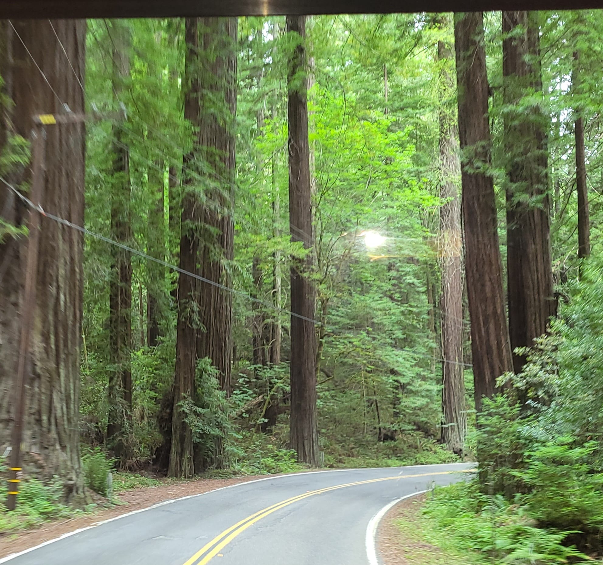
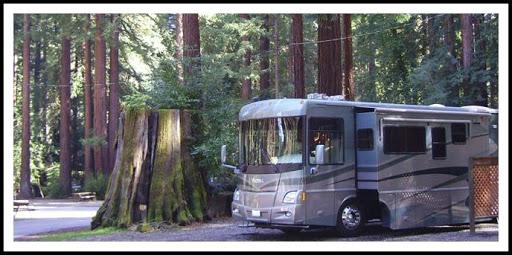
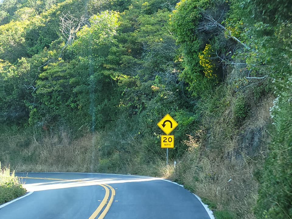
The drive up the Coast Highway between Bandon and Waldport is not much different than what we’ve encountered on this coast. It winds around hills and mountains and dives in an out along the seashore. It’s not a fast road especially for big rigs. The speed limit is 55mph but we seldom attain that speed due to the numerous curves some of which demand a speed no more than 25mph. Its a much more pleasant ride in the RV just maintaining a slower speed so one is not constantly slowing for curves in the road. Although its only 104 miles to Waldport its gonna take us 3.5 hours to get there not counting a half hour stop at Fred Myers for groceries in Florence.

Coos Bay, Oregon

Twenty one miles north of Bandon is the city of Coos Bay, its population of 15,985 makes it the most populous city on the coast of Oregon. The entire bay area including North Bend is home to 32,308. The bay was home to Native Americans, Coos, Lower Umpqua, Siuslaw and Coquille tribes, for thousands of years. The earliest European settlers came in 1852 when survivors of the Captain Lincoln shipwreck established Camp Castaway until they were rescued. A permanent settlement was established in 1853 which was reliant on fishing.

Cape Arago Light

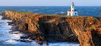
The Cape Arago Light was built in 1866. The previously isolated town, which was easier to reach by sea than land, was connected to the outside when a road was completed in 1871. Travel by sea was still preferable as the land route traversed over rugged terrain.

Shipyards that built minesweepers and rescue tugs during WWII were established and large lumber companies set up operations during that time. The lumber industry is not as prevalent today. Sights to see nearby is Cape Arago, Shore Acres State Park, Sunset Bay State Park and the seaport of Charleston.

A Complete Guide to Visiting the Oregon Dunes National Recreation Area - CS  Ginger Travel
Oregon Dunes National Recreation Area

We pass Tugman State Park which is located in the heart of the Oregon Dunes National Recreation Area, one of the largest expanses (31,000 acres) of temperate coastal sand dunes in the world.

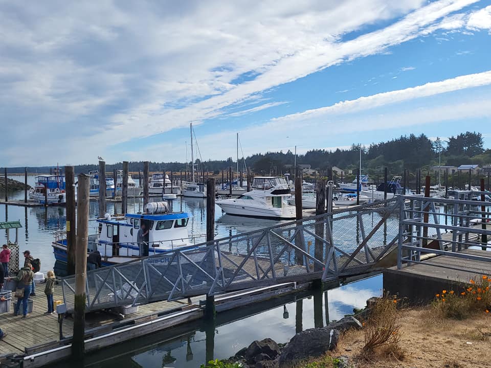
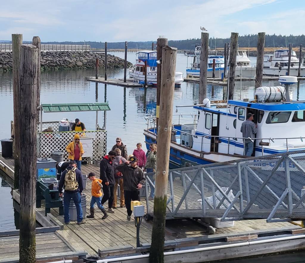
Then comes the Umpqua Lighthouse and the very popular and scenic Winchester Bay. Reedsport (4310 souls) is located on the estuary of the Umpqua River, and very popular with fishermen and tourists.

We pass the very large Tahkenitch Lake (2118 acres) on our way to Florence then Siltcoos Lake at 3114 acres. These are very large natural lakes very near the coast. We pass by Honeyman State Park, popular for folks wanting to run their ATV’s on the sand dunes.

Florence (8921 souls) lies on the mouth of the Siuslaw (pronounced sigh-YEW-slaw) River. The town is located just north of the Oregon Dunes. The town was the site of a famous scene when town authorities used 20 cases of explosives to try and rid the beach of a dead whale with very unintended consequences as the decomposing whale had built up a lot of gases- whale blown everywhere! Logging, commercial fishing and agriculture are prior mainstays but today tourism is increasingly significant. About a third of the population are retirees.

Haceta Head Lighthouse

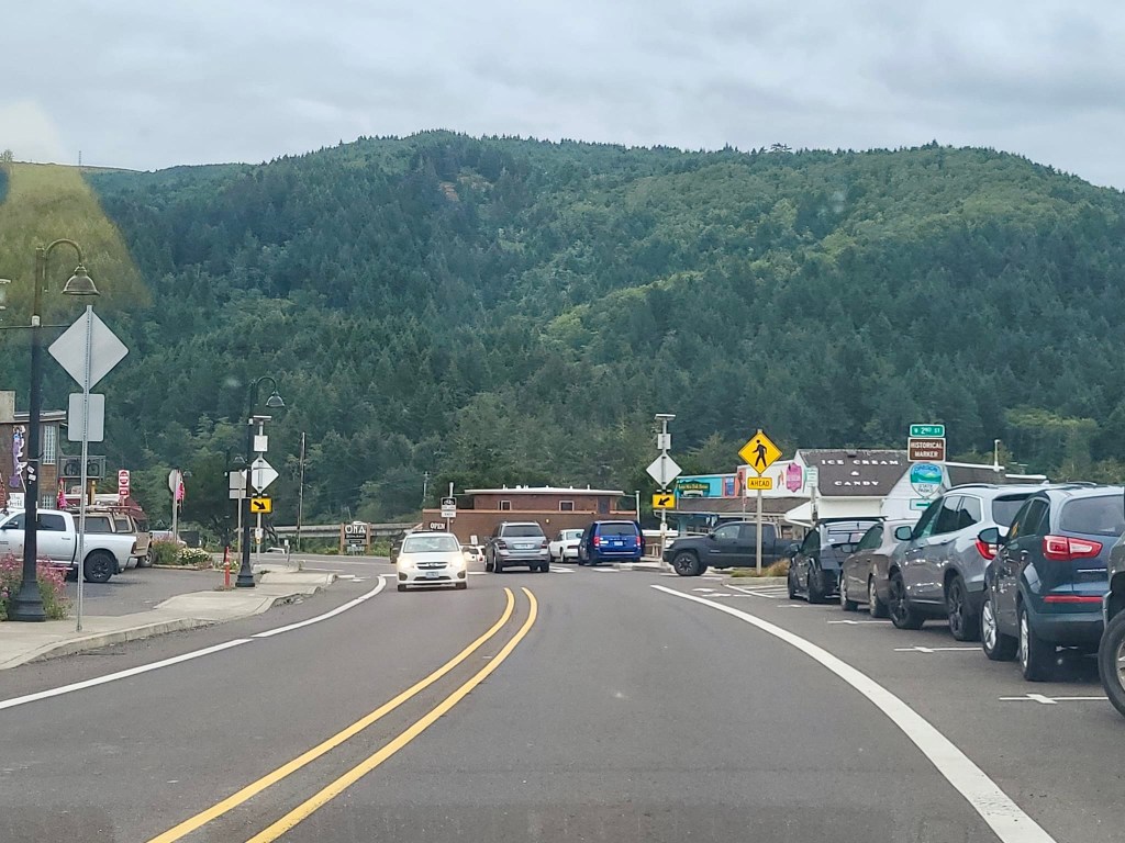
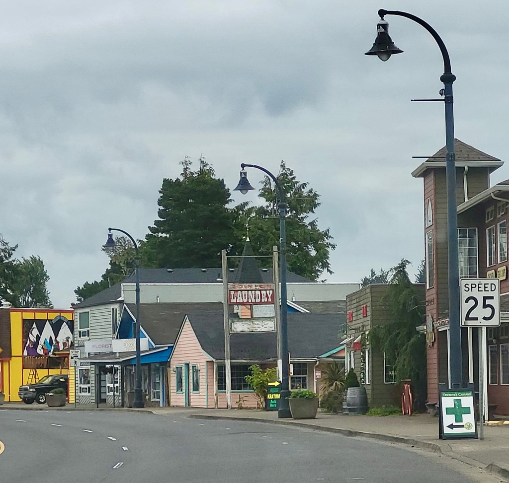
The highway north of Florence more closely follows the coast. We pass the seemingly very popular tourist attraction Sealion Caves, the breathtaking Haceta Head Lighthouse, Washburne Memorial State Park, scenic Cape Perpetua before coming into Yachats (pronounced Yah Hots), a town of 690 souls. This place is very popular with vacationers and the population explodes in the summer.

The Native Americans who live near here Coos Bay were moved from the coast and forced over rugged terrain to the Alsea Sub-Agency reservation in Yachats in the 1860’s. The indians were peaceful but treated like POW’s. The trail they used is called Amanda’s Trail, named for a blind woman who suffered greatly on the march. The hunter-gatherer tribes were forced to learn to make a living by agriculture. After years they finally learned how to subsist off of the land and were once again allowed to hunt. They were again disrupted as the government opened the land to homesteaders in 1875. Those homesteaders used the Indian trails and farms to develop Yachats.

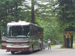
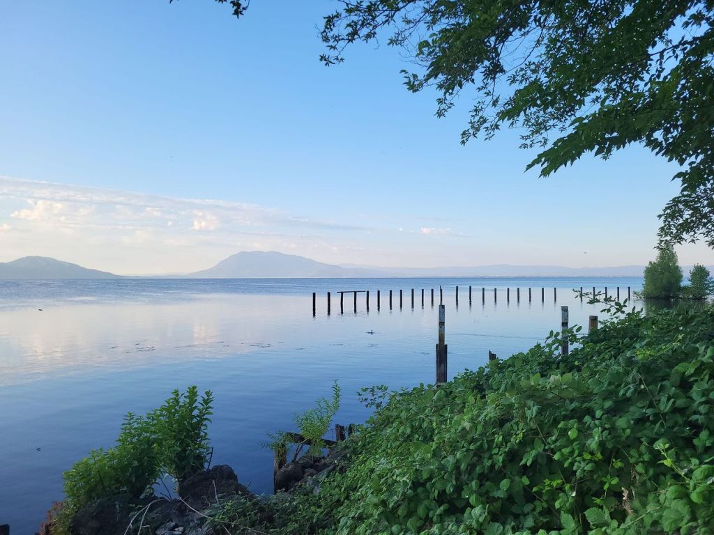
We are staying at the Waldport/Newport KOA located just across Alsea Bay from Waldport. We stayed here last year.

As is typical with KOA establishments the sites are relatively tightly grouped, but the location has unbeatable views of the Alsea River Bridge, the bay and the town of Waldport.

Waldport (2033 souls) is located on the Alsea (pronounced Al-SEE) River and Bay. The settlement began in 1879 when squatter’s rights was purchased by David Ruble from Lint Starr for $300 for property including “Old Town”.

Many settlers were of German descent so the town was called Waldport, Wald meaning forest or trees and port referring to its proximity to the ocean. The folks earn a living here working construction, accommodation and food service, as well as professional/scientific/technical services.

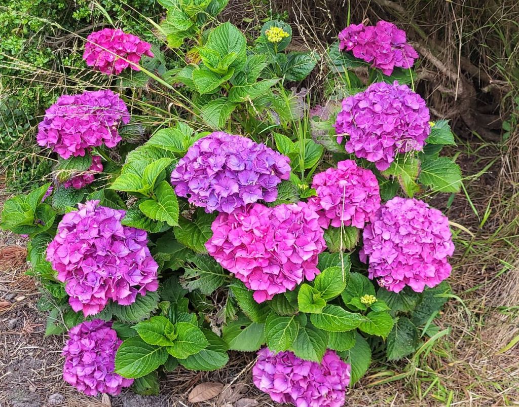
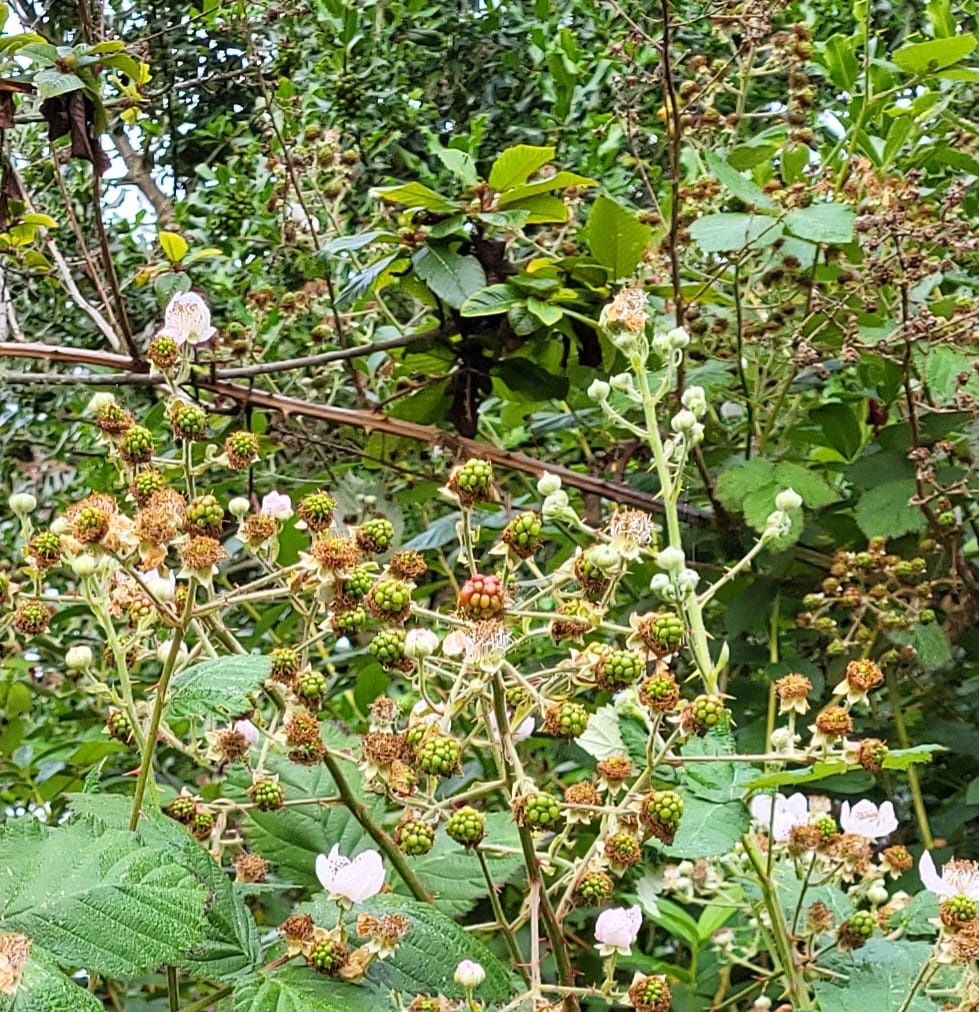
We like Waldport for its large athletic field seems to be ideal for walking our mutzos. Right next door is the Joy garden, a plot of land where volunteers grow all kinds of fruits and vegetables and some flowers. All are free for the taking for whoever is in need.

Yaquina River Bridge

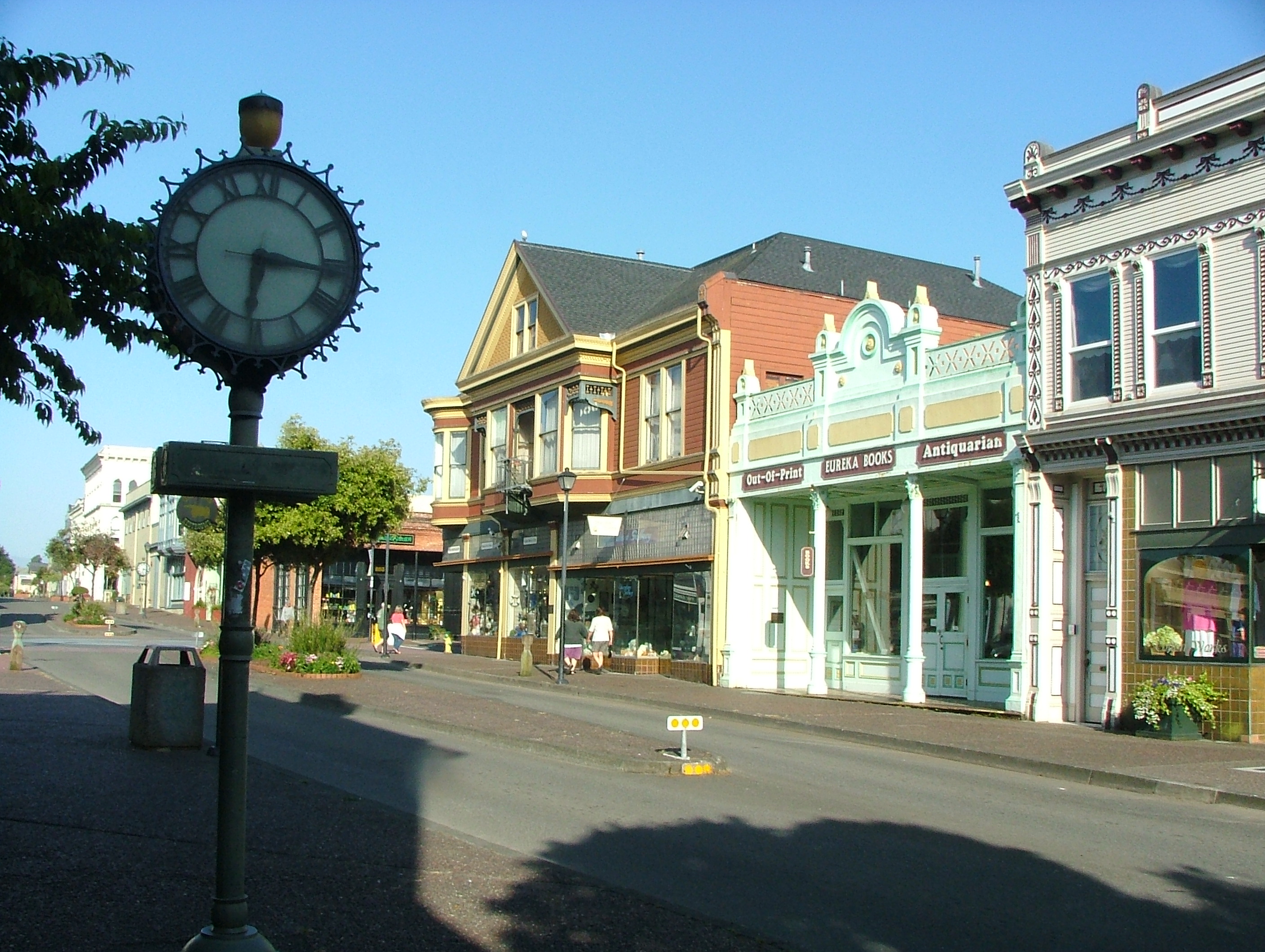
We took a drive 15 miles up the coast to visit the very popular Newport (10,000 souls). The Yacona tribe called the area home for at least 3000 years. White settlers began homesteading in 1864. The city is the county seat of Lincoln County.

The city is home to the Oregon Coast Aquarium, Yaquina (prounced Yaqwinna) Head Light, the Yaquina Bay Light, The Hatfield Marine Science Center orperated by Oregon State University, and Pacific Maritime Heritage Center.It’s also the western terminus of U.S. Route 20 with originates in Boston, MA, the longest road in the United States. The Oregon coast can generate hellish winds. The Columbus Day Windstorm of 1962 had wind gusts at Newport recorded at 132mph until the wind gauge stopped working! Another weather event occurred in December 1964 when 21 inches of rain fell that month- twice the norm. As you can see this beautiful Oregon coast is not as hospitable in winter as in summer.

The National Oceanic and Atmospheric Admistration moved its base for research ships from Seattle to Newport. The base boasts about 110 marine officers and a total of 175 employees. It bases four ships including the NOAAS Bell M. Shimada and the NOAAS Rainier which support the fisheries science centers for Alaska and the Northwest.

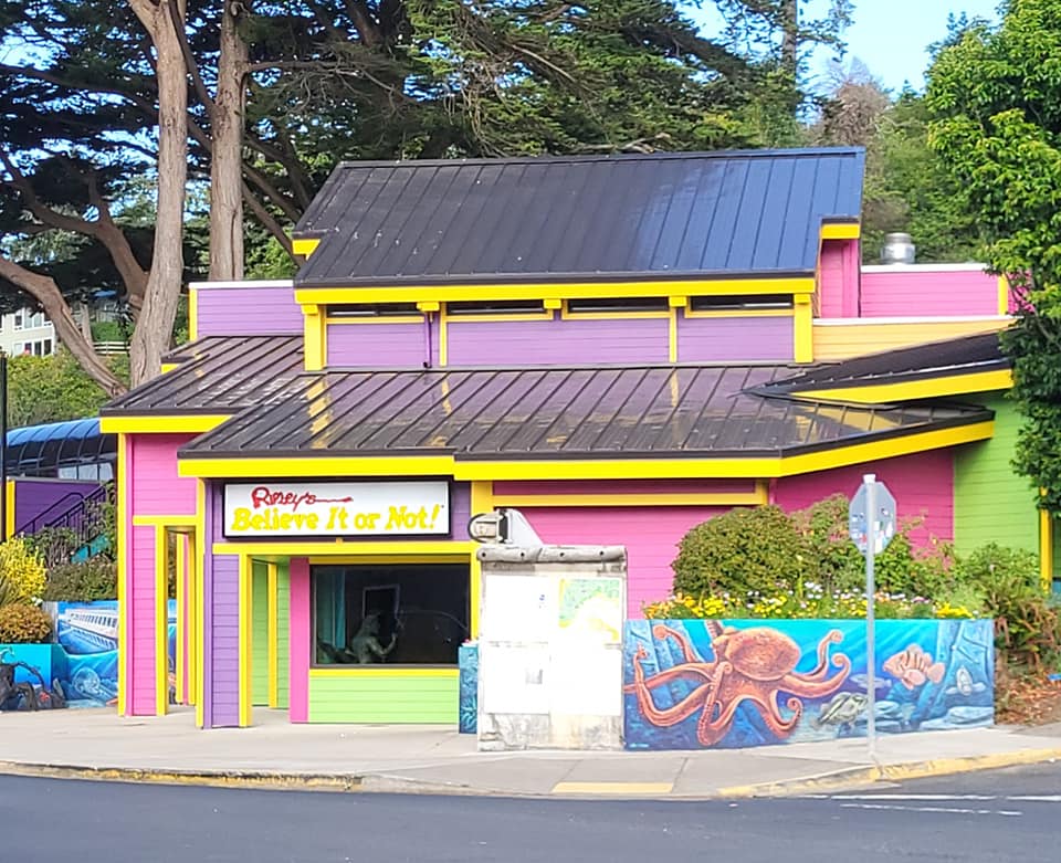
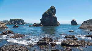
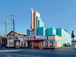
Sights around Newport, Oregon

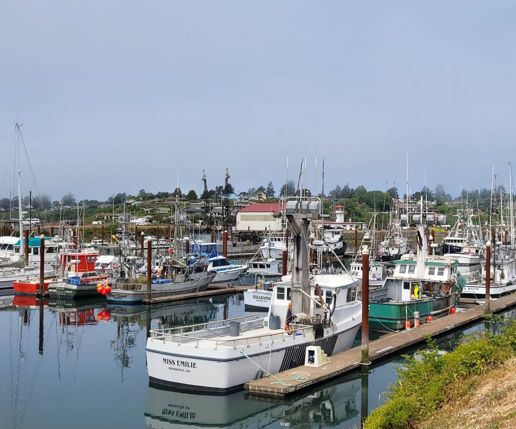
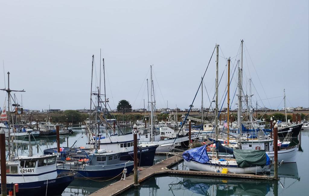
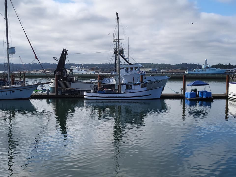
As one can surmise the city is a major fishing port in Oregon. Tourism is also king here as Newport is just 48 miles from Corvallis and the I-5 corridor.

We’ll head up to the Tillamook area next. See you there!

Knocking Around Bandon

Wednesday, July 26, 2023

We drove through Bandon and over the Coquille River bridge in order to reach our destination for three nights, Bullards Beach State Park. The park was aquired between 1962 and 1985 from various owners. The Coquille River Lighthouse , built by the U.S. Coastguard in 1896 and operated until 1939 sits at the confluence of the river and ocean. The Bullard family were early settlers in the Bandon area. Robert Bullard established a store and post office at the mouth of the river and operated a ferry, which crossed the river near the present bridge on U.S. 101.

We arrive early (1130 hrs- sites available at 1600!) so we wait in the boat launch parking lot with another couple waiting for their site to open. It’s not a bad wait as there are grassy areas close by in order to walk the dogs. We check back in at the entrance kiosk shortly after 1300 hrs (check out time) and our site is vacant so in we go.

Bullards Beach State Park has 191 campsites and some yurts for rent. The sites are in amongst trees and fairly protected from the prevailing sea breeze. Some sites have water and electric and some full hookup sites with water, electric and sewer. The location of the sites with sewer seems to be fairly random and to my eye make no sense as a non-sewer site can be surrounded with those that have sewer. If a person wants a full hookup site one must make a careful pick on the internet reservation site.

The park offers Coquille river access for boat launching, the sandy beach of course, a nice large grassy day use area and the Coquille River Lighthouse. Jil and I volunteered as lighthouse hosts many years ago. We offered tours of the light tower as well as manning the gift shop there. There was no electricity so we used a battery operated calculator to register sales. That calculator had been bastardized to register sales as the State saw fit and believe me it wasn’t easy to use as each key now had a special purpose.

This family oriented park was jam packed with families. Kids riding bikes and scooters everywhere which was good to see. Except when the kids rode by, the park is so quiet one can hear a mouse fart from 300 feet away! Honest! People ride horseback here as there is also a horse camp out towards the lighthouse. There are many paved and unpaved trails to follow. The beach is wide allowing for a lengthy stroll along the Pacific Ocean’s shore.

Bandon (3321 souls) is a few miles south of Bullards Beach. The town was established in 1853 and named after its Irish founder’s home town in Ireland. For some ungodly reason he introduced gorse, a very prickly and oily plant, to the area which proved to be a bad idea. In 1936 a forest fire was wind driven into town, the gorse burst into flames and the entire commercial district was destroyed.

The quaint little town is known for its seafood restaurants and good fishing. It’s harbor is on the Coquille River across from the Coquille Lighthouse. Following the river to its mouth and entering the ocean means crossing the Coquille River Bar which can be treacherous.

Fresh fish being sold on the dock

Up river the Coquiille is a lazy navigable meandering river that flows along side the very large Bandon Marsh. There’s a lot to see in and around Bandon- the marsh, the state park (day use is free in Oregon), the Coquille River and lighthouse, cranberry and blueberry farms and of course, the Langlois Market. The town caters to surfers, tourists, mountain bikers, storm watchers and fishermen of course! Fishing and timber are still important but do not play as significant a role as in the past. Bandon Dunes Golf Resort lies north of the city for those looking for a good walk.

We enjoyed our three days here in Bandon. We’ll see you down the road!

Face Rock, Bandon Oregon

Brookings to Bandon

Sunday, July 23, 2023

I broke up our blog into two parts today as this portion of the Oregon Coast has many wonders worth writing about. Bandon will be the next post..

We packed up and left Brookings, the weather once again overcast as we drove through patches of fog continuing north. This is typical summer day here on the Oregon coast where the moisture from the Pacific Ocean is drawn onshore by the heat inland and recedes in the afternoon. Daytime highs have been in the sixties- perfect- and that’s why we chose to travel the coast rather than endure temperatures 40 degrees higher inland.

The southern 50 miles of the Oregon Coast is known for its beauty and is called the Gold Coast by some folks who consider it the most scenic of the Oregon coastline. We’ll continue on the Coast Highway, US Highway 101, for several hundred miles, staying in several places before we head inland to the Bonneville Fish Hatchery. I’ll summerize what is to be seen and visited along the way.

These images of Samuel Boardman Scenic Corridor borrowed from the internet

Samuel H. Boardman State Scenic Corridor is state land acquired between 1949 and 1957 mostly from private owners and the U.S. Bureau of Land Management. Samuel H. Boardman (1874-1953), the first Oregon State Parks superintendent, served from 1929 to 1950.  He conceived the idea of a great coastal park in Curry County and worked tirelessly to acquire the present park lands. This state park, the nugget of Boardman’s proposal, was named in tribute to the founding superintendent at the time of his retirement. The Scenic Corridor runs from 2 miles north of Brookings to about 13 miles south of Gold Beach. We love this part of the Gold Coast.. We’ve stopped at every overlook in the past to take in the natural phenomena such as Arch Rock, House Rock, Secret Beach, Lone Ranch Beach and Whale’s Head Island but it’s too difficult to do so with our current RV and toad so we continue on.

Images of Gold Beach courtesy of the internet

Gold Beach (2241 souls). The community was originally named Ellensburg in the 1850s, but later took the name Gold Beach after a beach near the mouth of the Rogue River where hundreds of placer mines extracted gold. Mailboats based in Gold Beach have been delivering mail upstream to Agness since 1895, one of only two rural mailboat routes remaining in the U.S. Although Gold Beach had been a community since the middle of the 19th century, and the county seat since 1859, its current incorporation charter only dates to 1945.

We continue on passing Ophir, a community so small its population is not listed, Sisters State Beach, Arizona State Recreation Area and then Humbug Mountain State Park where its “Campground Full” sign is displayed 24/7 during the summer months. This time of year the coast is extremely popular with campers.

Port Orford is a small community (1133 souls) was discovered by Captain George Vancouver in 1792. It’s small hamlet featuring a grocery store, a restaurant, an RV park and little else besides its harbor. Battle Rock Wayside Park is right in town with Port Orford Heads State Park nearby.

ADDING VALUE: Cranberry farmers find new strategies to boost incomes |  Oregon | capitalpress.com

Just to the north of town begins cranberry country. The area between Port Orford and Bandon grow up to 30,000,000 pounds of cranberries a year. Its possible that those cranberries you eat at Thanksgiving come from this area. Ocean Spray has a warehouse in Bandon. The area is also rich in blueberries. We look forward to purchasing some while in Bandon.

Next is Cape Blanco State Park. It’s a must see with its beautiful lighthouse and very inviting campground. Langlois is a community of 177 souls located about 8 miles south of Bandon. The town is named after early pioneer William Langlois (pronounced Lang-loyce) and was famous for its blue cheese- until the factory burned down in the 1950’s. Langlois is also home of the Langlois Market, world famous to Highway 101 road trippers, known for their hot dogs and house made mustard.

To the north of Langlois is West Coast Game Park Safari which features over 75 species of animals ranging from goats and deer to tigers, lions, leopards, bison, camels, wallabies, chimps and more.

We stop at Misty Meadows Jams to purchase a few of their very extensive jam offerings and their home grown frozen blueberries. As luck would have it- no blueberries. The lady behind the counter explained that the crop was late coming in and a very light crop, so they will keep what berries they harvest for their own use. Darn!

We drove past downtown Bandon to Bullards Beach State Park where we’ll be staying for three nights. More to come in the near future!

The Chetco River Wind Tunnel

Saturday, July 22, 2023

We had a little longer drive today of about 150 miles. Continuing north on US 101 we drove through Fortuna. This population of 12,516 souls lies on the Eel River. The town has undergone a couple of name changes- Slide was changed to Springville. Since Springville CA already existed the post office asked for a change, so Fortuna it was. Electricity came to Springville, er, Fortuna in 1883 when a couple of fellas realized that the electricity already powering the sawmills could also be used to power homes. The area grows crops of berries, fruits, and is known for the fresh fish from the river. Fortuna is known as the “gateway to the redwood forests to the north”.

Downtown Fortuna

Continuing on we pass through many towns. Eureka (27000 souls) is at the heart of the redwood coast and seat of Humboldt County.It’s the largest city between San Francisco and Portland Oregon. Humboldt Bay, second largest bay in California, was overlooked by explorers (they couldn’t find the entrance) until 1849 when an overland exploration provided its exact location. The town was established in 1850 as an alternative to the long overland route from Sacramento to supply gold miners on the Trinity, Klamath and Salmon Rivers. Then came the logging industry along with its lumber mills. In town is the majestic Carson Mansion, constructed for lumber magnet William Carson: https://www.ingomar.org/carson-mansion/mansion-history

Old Town Eureka - Wikipedia
Eureka

Salmon fisheries came into being where 50,000 pound of smoked salmon was shipped out of Humboldt Bay annually beginning in 1851. The bay is also the site of the West Coast’s largest oyster farming operations.

Carson Mansion

The famous Carson Mansion is located in Eureka along with many Victorian homes. Old town has been preserved as it was.

We pass Arcata, CA as we visited this place last year. Humboldt State is visible on our right as we pass through town.

We take a break in the very popular fishing village, Klamath. The village is famous for it’s great salmon fishing along the Klamath River and its proximity to Redwood National Park. Crescent City (6673 souls) is the seat of Del Norte (locals pronounce it Del Nort) County. She is famously known as the home of Pelican Bay State Prison, a prison noted for its violence. She is also Redwood National Park’s Headquarters. Crescent City’s port is home to many commercial fishing vessels. The town was decimated by the 1964 Alaska Earthquake generated tsunami waves which reached 14 feet in height.

Next came Smith River, a hamlet of 906 souls. It is headquarters for the Tolowa Dee-ni Nation even though the community only registers 6.8% Native American. It was one of the filming sites of the 1983 film Return of the Jedi.

View of Chetco River From Atrivers Edge RV Resort

We arrive in Brookings, Oregon (6744 souls), just across the California border. The town originated as a lumbering town. The town’s unusual climate keeps it much warmer than most coastal communities. In 1942 Mount Emily near Brookings became the only site in the mainland US to suffer aerial bombardment during WWII.

Downtown Brookings Oregon

The city markets itself as “The Pulse of Americas’s Wild Rivers Coast”. We are staying at the Atriver’s Edge RV Resort once again. It’s a nice RV park located on the south bank of the Chetco River. It’s nice but not really a resort. I wish the RV industry would apply some rules that would define “resort” more distinctly as a lot of parks are using that term very loosely.

Brookings Harbor lies at the mouth of the Chetco River

We went into Brookings and shopped at Fred Myer, a large store which not only sells groceries but household goods and clothing. We then walked the dogs at the beautiful Azalea Park. Later we went down to the harbor to have a look around. Loeb State park is about 7 miles up the Chetco watershed so we went for a look-see. It’s nice with well spaced RV sites and lots of shade from numerous trees. The park also offers Chetco River access for swimming and fishing. A must see place if you ever visit Brookings is Harris Beach State Park. The beach is beautiful and the campground is very pretty- it’s extremely popular.

Harris Beach

So now we get to the title of this post- the Chetco River Wind Tunnel. Atriver’s Edge is on the south bank of the Chetco River. It’s drainage runs through a narrow canyon or gorge, if you will, where the park is located- about a mile and a half from the harbor. It’s foggy in the morning this time of year as the heat inland draws in the fog. Another effect of inland heat is it also draws in a lot of wind in this narrow canyon as it acts like a chute for ocean breezes and actually accelerates its velocity. The harbor at only a mile and a half away had a gentle breeze blowing while we were there but the wind was whistling here at the RV park, being drawn towards the heat of inland Oregon.

We didn’t spend too much time in Brookings as we’ve been here many times. Tomorrow were are heading to another one of our favs, Bullards Beach State Park in Bandon, Oregon. See you there!

We Are Among Giants

Thursday, July 20, 2023

Today we drove another relatively short distance 99 miles to Redcrest, CA. Short in distance, long in travel time. The first half of the trip begins along the coast and winds around the little hamlets and coves of this rugged portion of coastline.

Then it dives into a cut in the mountains that drop straight into the ocean a la the Big Sur coast. There’s a few campgrounds along here, one private and the others state, but the state campgrounds only offer beautiful vistas of the coast and no amenities. We climb up the mountain encountering hairpin after hairpin, some posted at 15mph. It’s a beautiful drive for the passenger if they are not concerned with timbling over a cliff but a real work out for the driver of an RV. The road was built with Model T Fords in mind, not a 15 ton, 35′ motorhome. Anyhow, we survived and exited the northern terminus of California Highway One at Leggett joining northbound US101 where the highway parallels the coast but at a distance. In case you are wondering that 45 mile stretch of Cal 1 took 2.5 hours to travel with one 10 minute stop to stretch…….

We pass a couple of small settlements before passing Garberville (903 souls). The town is located on the South Fork of the Eel River and a 15 minute drive to Humboldt Redwoods State Park. To some Garberville is known as the most eccentric town in Northern California and also known as the “marijuana heartland of the U.S.”

Paul Bunyan and Babe the Blue Ox- Trees of Mystery

US101 in that part of California meanders through some redwood forests, choosing to come so close to the big trees that some show scars from trucks/rv’s smacking them. This portion of the highway is littered with tourist attractions- The Trees of Mystery, Confusion Hill, Shrine Drive Through Tree, the World Famous Tree House, yada, yada, yada. Yet there are many natural wonders- Smithe Redwoods Natural Reserve, The Founders Tree, Lady Bird Johnson Grove Trail, Richardson Grove State Park, Jedediah Smith Redwoods State Park, Humboldt Lagoons State Park. It then opens up into a 4 lane divided highway for a good stretch. So depending on your taste you can pick either the tourist traps or mother nature- or both. We like mom the best but looking at the parking lots of the attractions we’d have to say a lot of folks are drawn to the “attractions”.

We bypass all the town sites, towns and tourist attractions, exiting US101 at Redcrest (89 souls). Redcrest is located along the Avenue of the Giants, a reference to the coastredwood trees, the tallest trees on earth, the tallest being 380 feet tall! The town is tourist oriented, sporting a very small RV park, a cafe, a post office, a curio shop and little else. We pass through town recognizing that we had stopped here last year and purchased an ice cream cone at the curio shop.

Just north a couple of miles and still on the Avenue of the Giants we pass through more giant coast redwoods and stop at Ancient Redwoods RV Park for the night. The park is a modern layout park that is nicely kept. The folks that operate the park are extremely courteous and helpful.

Santa Cruz Redwoods RV Resort - Felton, California US | ParkAdvisor

We had a nice stay at the park, meeting folks that were here to attend a tractor pull in Fortuna. This isn’t a tractor pull for those souped up specialty tractors, this is for antiques. It sounds like a fun event, enough fun that folks from out of state are attending.

Tomorrow we’ll continue north on US101. We are heading into southern Oregon and will be staying in Brookings for a couple of days. See you there!

Fort Bragg, CA

Monday, July 17, 2023

On Monday, July 17th we pulled stakes and headed towards Fort Bragg. We drove through Willets (4988 souls)- Gateway to the Redwoods, final home of the racehorse Seabiscuit, it’s iconic “Willits” sign arching over the roadway a la Reno’s biggest little city sign. In fact the sign is a repurposed Reno sign!

This place became a boomtown due to the tanbark industry.The town is very clean and looks to be in good health in spite of the economic downturn. We continue west on Cal 20 which transitions from the flats quickly into more mountainous driving. I should say really mountain driving as the road twists and turns with 25 mph curves in abundance on a relatively narrow roadway with zero for a shoulder. One fella who owned a home along the route even had a sign out saying “No turn out- Ditch!” on the side of his driveway to warn drivers of large vehicles not to use his driveway as a slow vehicle turn out. 

After a bazillion twists and turns through a beautiful forest consisting of hardwood trees, conifers and even coastal redwoods we stop at the Jackson Demonstration State Forest. The forest was established in the 1940’s to demonstrate growing timber and woodlot management to farmers. It’s the largest of Cal Fire’s demonstration forests at 48,652 acres. The most common tree is the coastal redwood but visitors can also find douglas fir, grand fir, hemlock, bishop pine, tanoak, alder, madrone and bay myrtle. We stop at the very nice visitor’s center, a large meadow in which lupins are beginning to bloom surrounded by all types of trees, including the iconic coastal redwood. Picnic tables are scattered around for visitor’s enjoyment.

We continue on, hoping the road will straighten out. I doesn’t- until almost to the Fort Bragg city limits. The distance traveled today was only 74 miles- it took us 3 hours to do it as last 35 miles takes 2 hours and 15 minutes in a car-a while longer in an RV! We arrive about two hours before check in time at the RV park, call to ask if it’s OK to check in early, and our call goes to voicemail.

Flora around Pomo RV Park and Campground

We chance it and all is good. Pomo RV Park and Campground is just south of downtown Fort Bragg just past Noyo Harbor. It’s a little tight maneuvering inside the park. The campsites for the most part are separated by thick vegetation offering great privacy. A big grassy area is near the center of the park. Lots of flowering plants are eye candy including hydrangea, lilac, sweet peas, roses, nasturtium, pine and deciduous trees making for very colorful grounds. We like it here!

Down Town Fort Bragg

On Tuesday we cruised downtown Fort Bragg (6970 souls). Fort Bragg was established as a military post on the Mendocino Indian Reservation in 1857. It was abandoned in 1864 and the Indian Reservation discontinued in 1866. By 1873 Fort Bragg had an established lumber port at Noyo. The land of the reservation was returned to the public and offered for sale at $1.25 an acre to settlers. The Fort Bragg Redwood Company was incorporated in 1885, merged with the Noyo River Lumber Company in 1891 and became the Union Lumber Company. The mill was eventually sold to Boise Cascade in 1973 and closed in 2002.

Narrow Entrance to Tiny Noyo Harbor

The mill used to offer tours and to the public and I was lucky enough to visit the mill a couple of times in my younger years. The San Francisco Earthquake of 1906 damaged all brick buildings and many homes were knocked off their piers and caused major fires downtown. The folks, being resourceful, rebuilt within 12 months!

In 1901 the Union Lumber Company incorporated the National Steamship Company to carry lumber, passengers and supplies. All creature comforts and food were delivered by steamship. In 1905 plans were made to get the California Western Railroad pushed through to Willits linking the area to San Francisco.

The Skunk Train

The infamous Skunk Train that runs between Willits and Fort Bragg was originally built in 1885 by the Fort Bragg Redwood Company as the Fort Bragg Railroad to carry coast redwood logs from logging grounds to Noyo Harbor. It was extended in 1911 to allow connection with the Northwestern Pacific Railroad at Willits, 40 miles from Fort Bragg. The trail only carries passengers today through very scenic redwood country.

Some other sites in the area are MacKerricher State Park, and Glass Beach, a former dump adjacent to the ocean that still yields thousands of pieces of ocean ground glass from long ago. Down south a short distance is the Point Cabrillo Lighthouse and the always popular and scenic town of Mendocino. Also in that area are Jug Handle State Natural Preserve and Russian Gulch State Park.

I probably missed a half billion things to see and do in and around Fort Bragg. If you want to learn more I guess you’ll just have to come and see it for yourself! It’s a great place to visit!

Road Trip 2023

Sunday, July 16, 2023

Itinerary, 2023– This year we will retrace our path of last year, at least until we arrive in Tillamook, Oregon. We are staying at some of the same locations and some new. We will drive past the Yuba/Sutter Fairgrounds, our first stop last year, as its campground is unavailable. We’ll continue on the Clear Lake CA and stay at a park new to us, the Aurora RV Park located in Upper Lake on the north east shore of Clear Lake. Then we’ll drive to the coast and follow it north to Tillamook, Oregon, then to the Bonneville Fish Hatchery for 2 months of volunteer work there. If the weather holds we plan on doing a little exploring in Washington State before heading for the barn.

Still quite a bit of snow in the Sierras

We left home at 0900 hours after saying good bye to our house guests Jim and Nancy and neighbors Ron and Chris. We head over to west bound I-80 and start up the eastern slope of the Sierra Nevada Range. The interstate is heavily used by trucks and the truck lane is really beat up- rutted and for many miles and has been worn to the point that the aggregate of the concrete roadway has been exposed. It’s rough and the RV doesn’t want to track correctly as its tires want to follow the ruts in the lane and not where I want it to go. It’s a struggle to keep it on the straight and narrow.

Fortunately, we have an alternate route available. A few miles past Donner Summit (elevation 7227’) we exit the interstate in favor of California State Highway 20. This two lane highway will take us all the way to Fort Bragg, CA, first passing the old gold rush towns of Nevada City (3068 souls) and Grass Valley 12,860 souls), transitioning to lower elevations at Marysville (12,000 souls) and its neighbor across the Yuba River, Yuba City (70,000 souls). Both towns were settled during the California Gold Rush.

From there we continue on Cal 20 through some small Sacramento Valley farm towns, through Colusa (6000 souls), seat of Colusa County, Williams (3670 souls) and then up into the hills of the California Coastal Range as we progress towards Clear Lake. A very nice fruit stand lies just past Williams. We stop but don’t purchase any of their lovely looking locally grown fruits and vegetables as the stand is packed with humanity, the check-out line is at least 10 people deep. Gads!

Clear Lake

We continue on up the winding Cal 20 following several drainages until we reach the southeast shore of Clear Lake. Clear lake is in chaparral/oak country so typical of coastal California and is the largest natural lake (68 square miles) fully within California as well as the oldest lake (2.5 million years) in North America. The warm water is ideal for big mouth bass, crappie, blue gill, and catfish. Many species of birds such as ducks, grebes, pelicans, bald eagles call the lake home year round. The warm water makes the lake ideal for water sports.

Aurora RV Park

We follow up the eastern shore almost to the end of this large lake to the Aurora RV Park in Upper Lake. The park is a little funky at first glance. Our site is a little short for our RV/toad combo so Mandy in the office graciously offers a much longer site. The park is split in two by Lakeshore Blvd.- very unusual for an RV park indeed. The bulk of the RV sites are inland from Lakeshore Blvd. with maybe 10 back in sites on the lake. The office is also on the lake shore, west of the boulevard. What’s nice about the park is the shaded grassy area adjacent to the office/meeting hall building and the nice tree shaded BBQ/picnic areas are right on the shoreline!

Canoes and water fowl- Clear Lake

The downside of heading out in mid-July is pretty obvious. It’s summer time and it’s gonna be hot- and it is! The Sacramento Valley is always a scorcher and Clear Lake is protected from sea breezes by the coastal range. So Clear Lake temps reached 104*. We had the generator running much of time on the road with both A/C units running full tilt. It got up to the mid-80’s inside the coach in spite of the coach having the largest A/C units available. As soon as we parked at the Aurora RV Park we dropped the night shades which helped bring the temperature down inside the coach several degrees.

We walked the dogs as much as we dared that evening. With cooler weather in the morning we walked the mutzos a little farther before breaking camp.

Ollie and Buster trying to endure the heat- pant, pant, pant, PANT!