Why Not Minot?

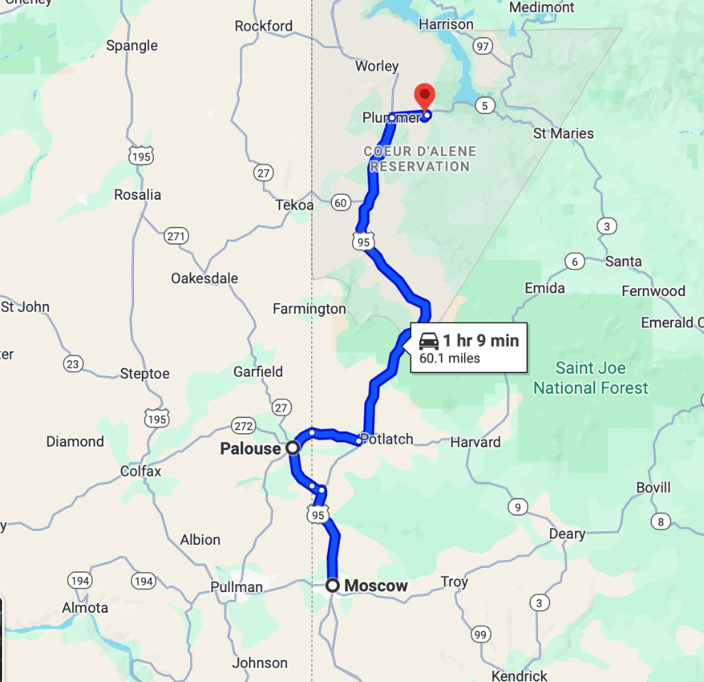
Saturday August 23 through August 27 2025

We don’t know who to call concerning our RV. Its a Class A diesel pusher motorhome. It has air brakes and air bags (air springs) that act as leaf springs in the suspension. They are there because the ride they give is softer, more comfortable and more forgiving than steel leaf springs. I called the RV Park in which we are to be staying and asked if they have a name of an RV mechanic and they did!

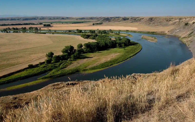
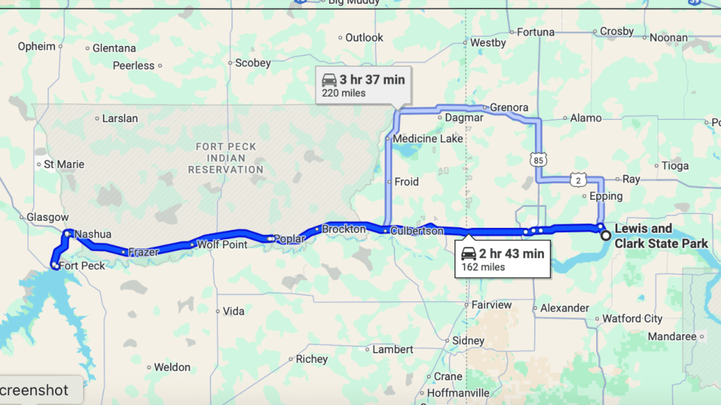
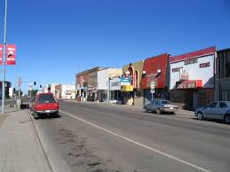
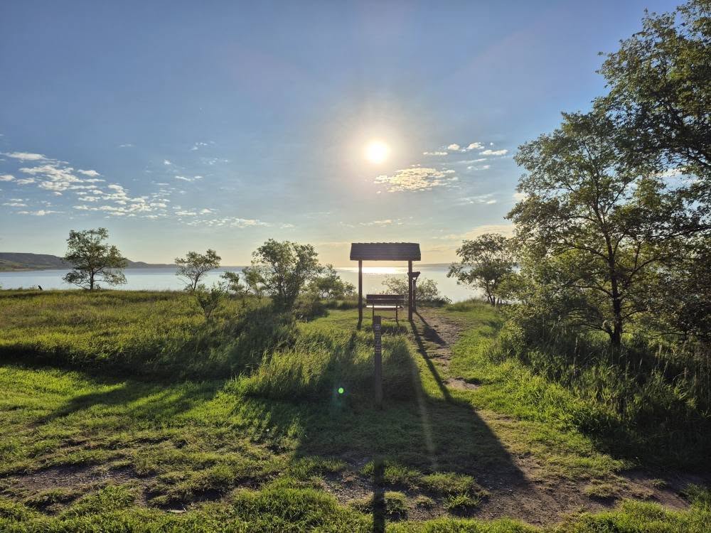
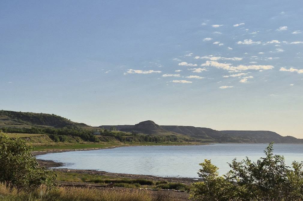
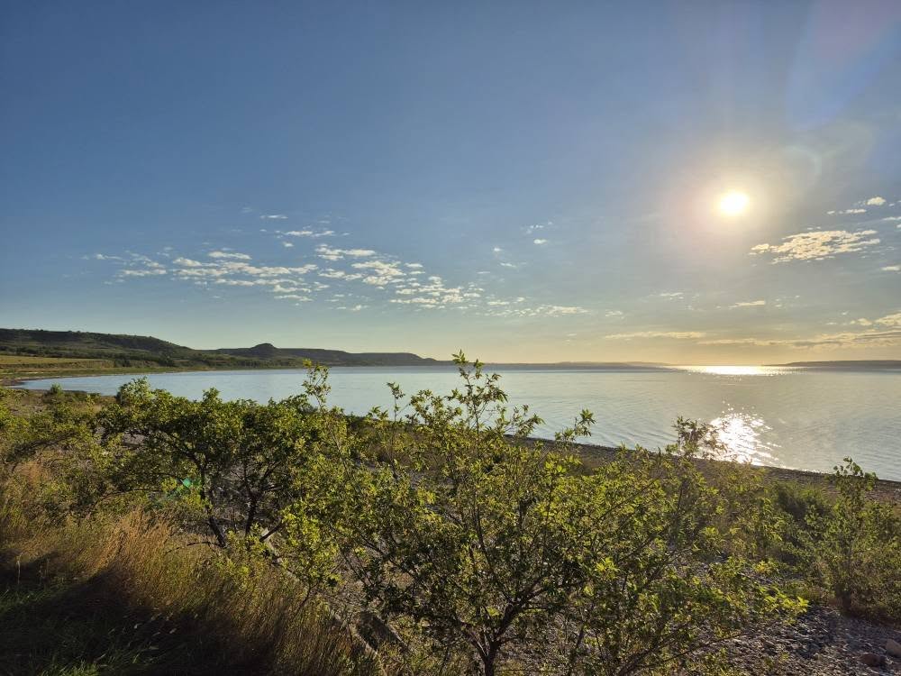
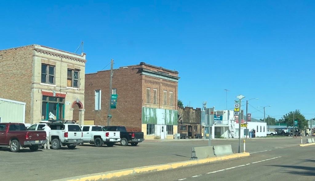
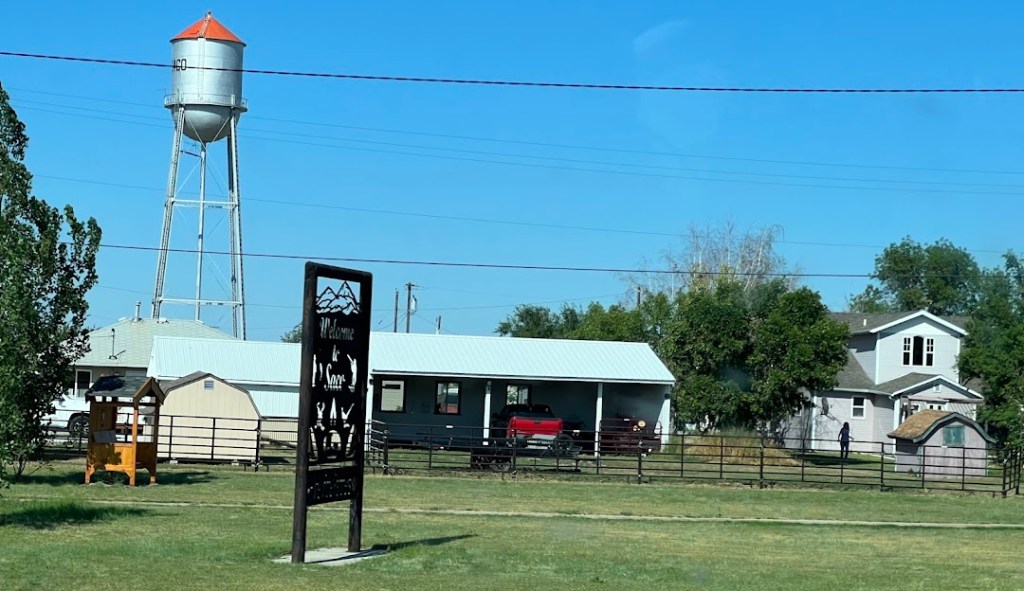
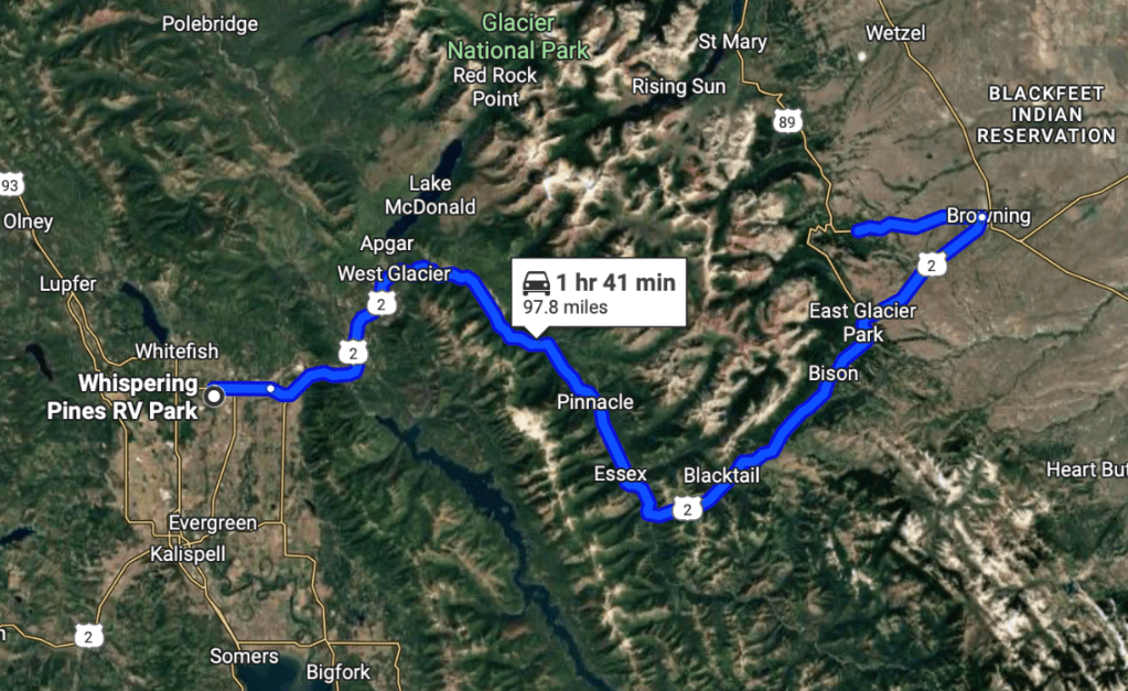
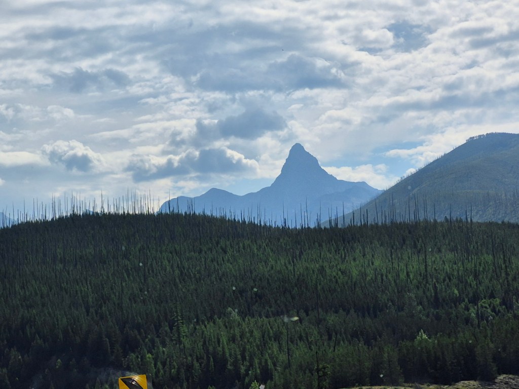
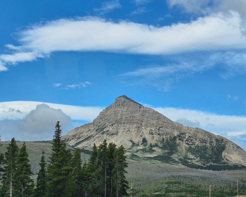
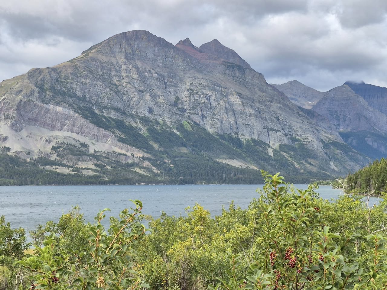
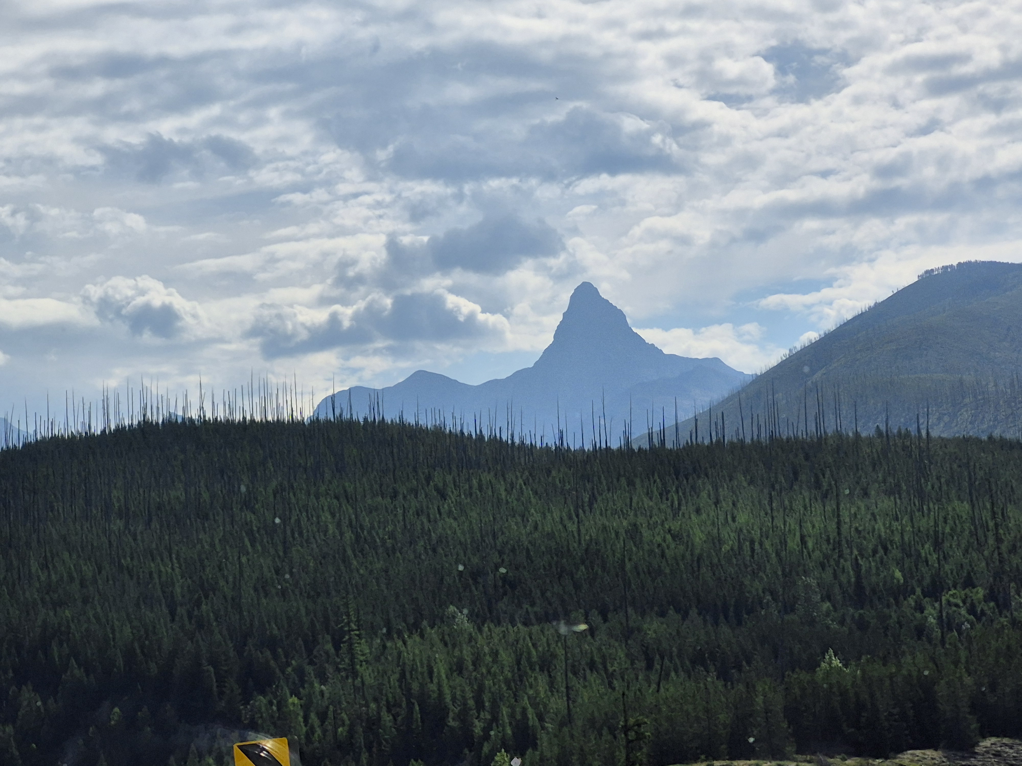
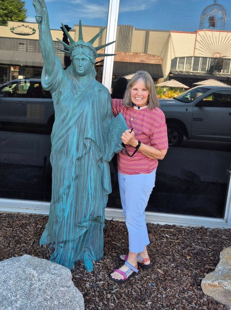
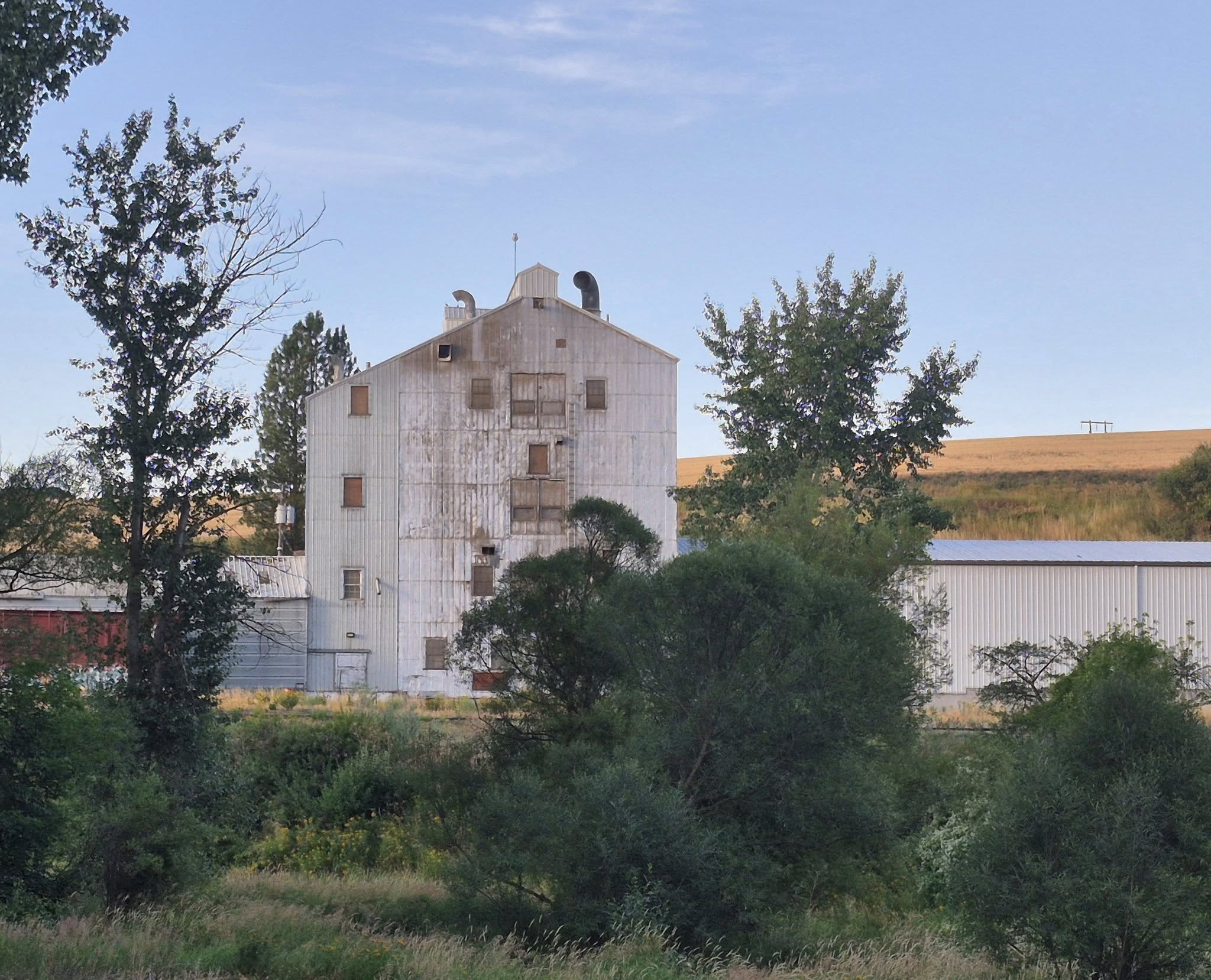
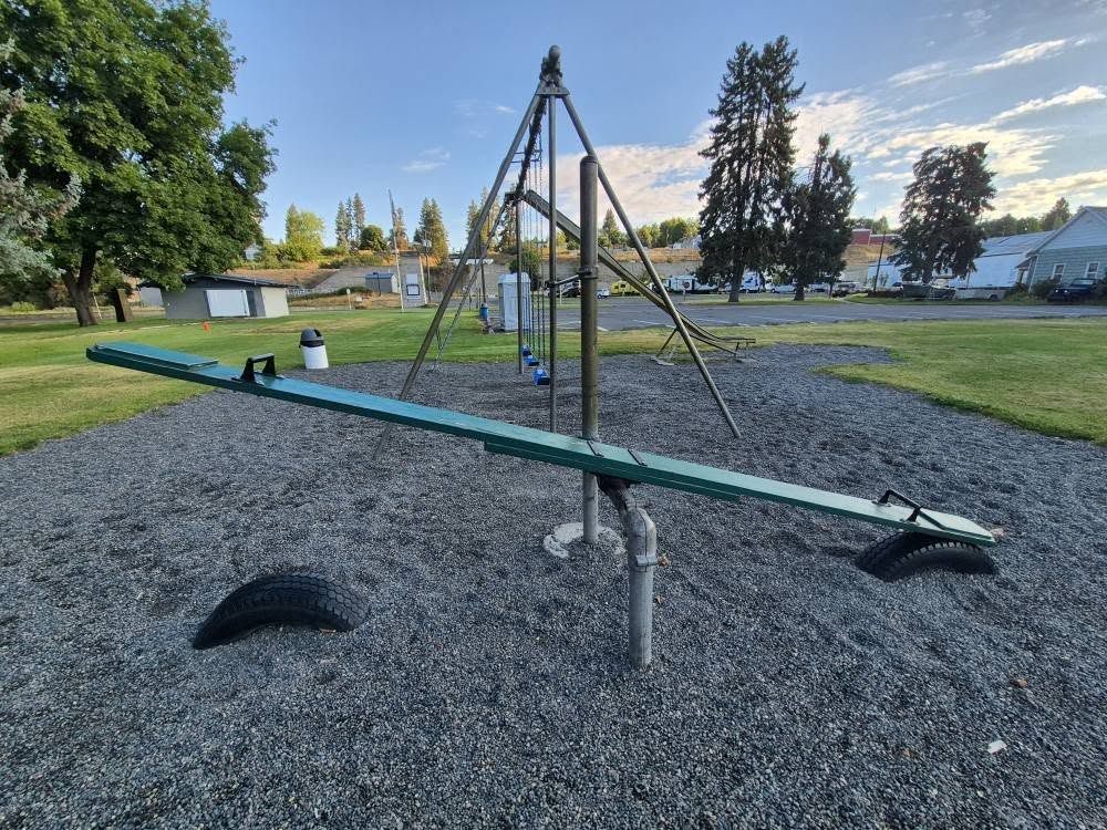
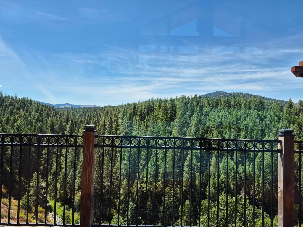
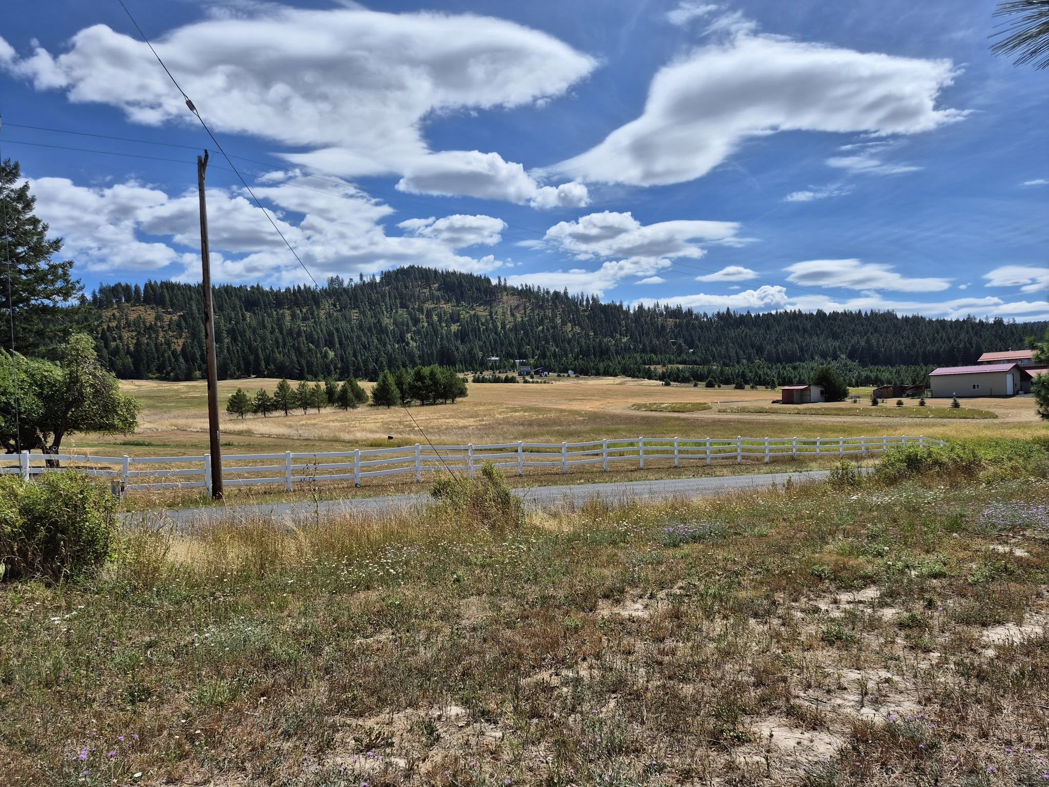
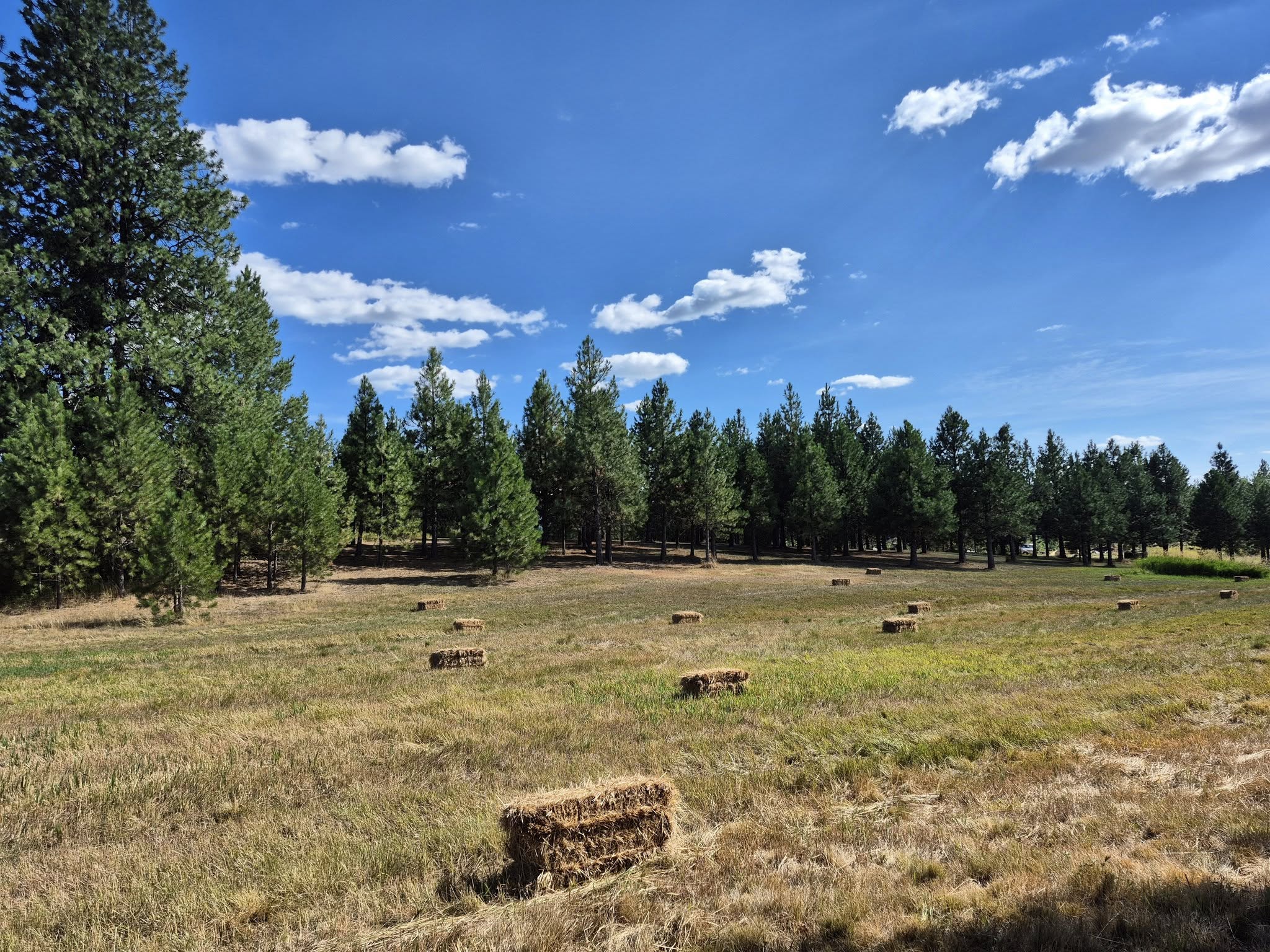
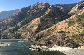
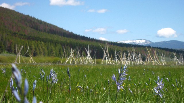
This part of the USA is beautiful!

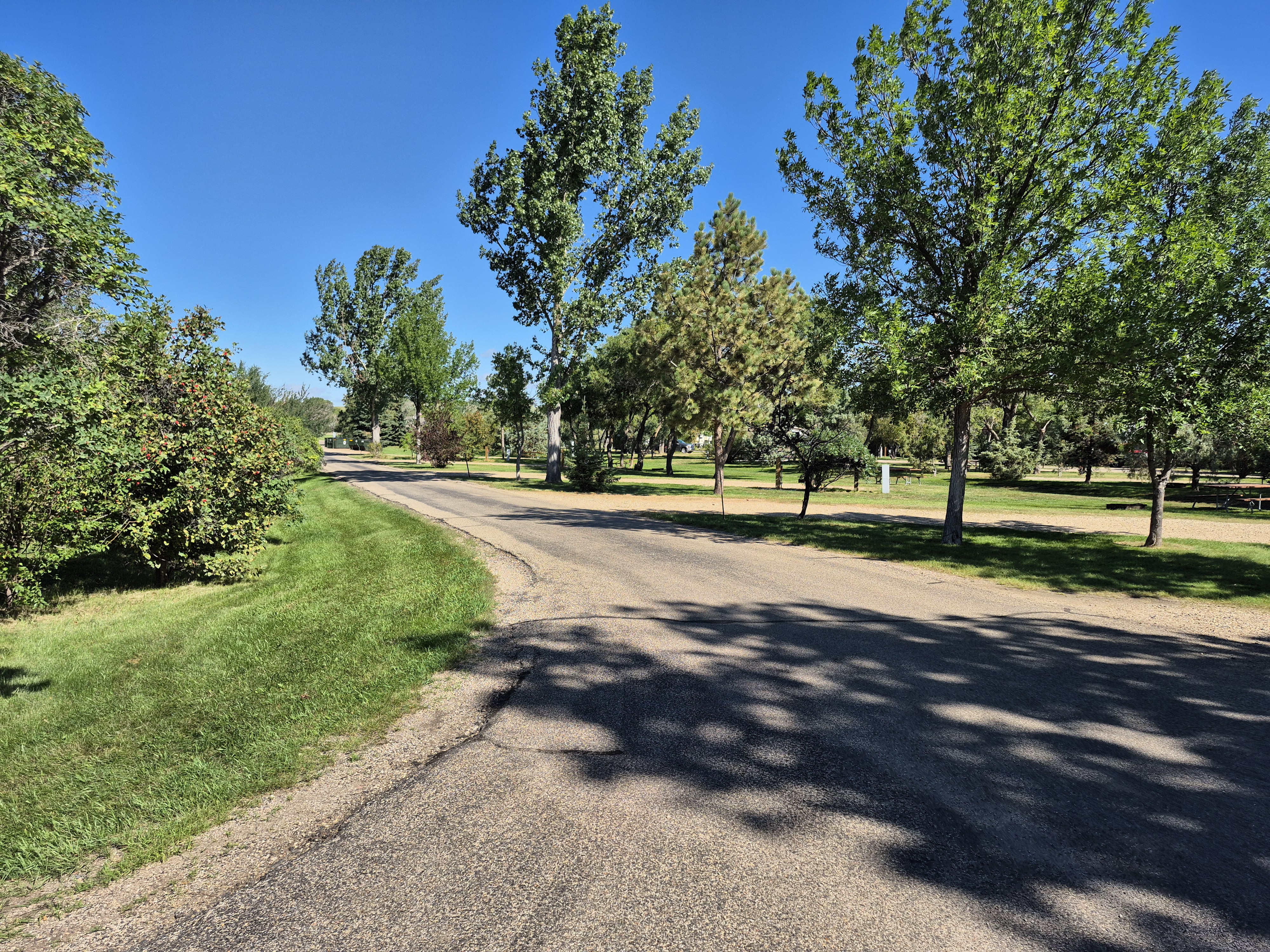
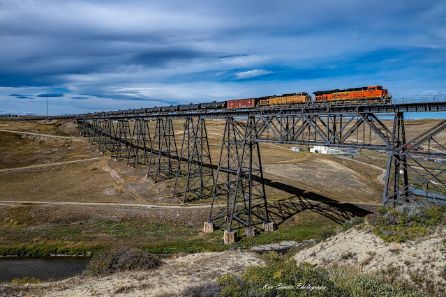
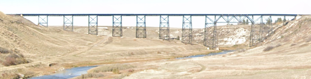
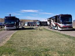
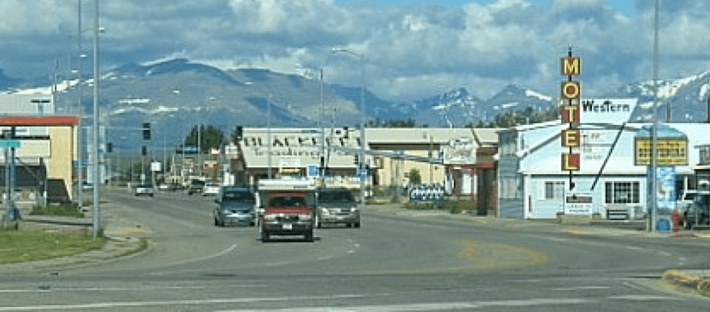
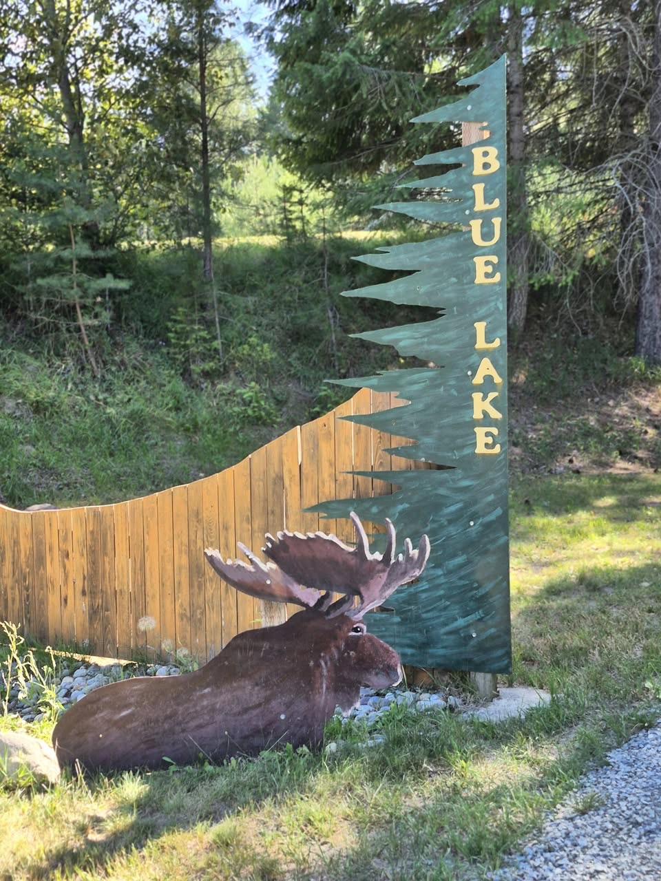
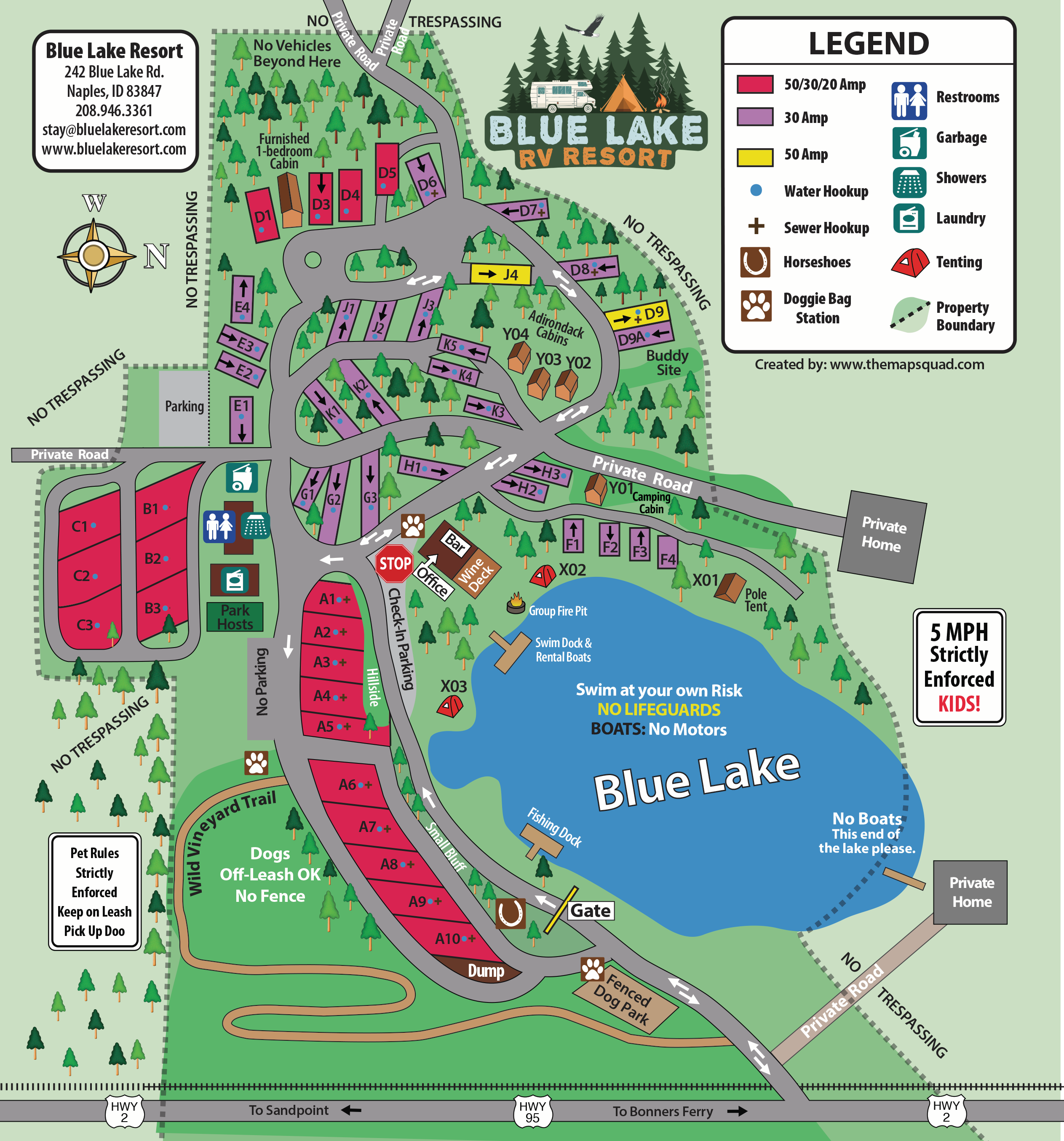
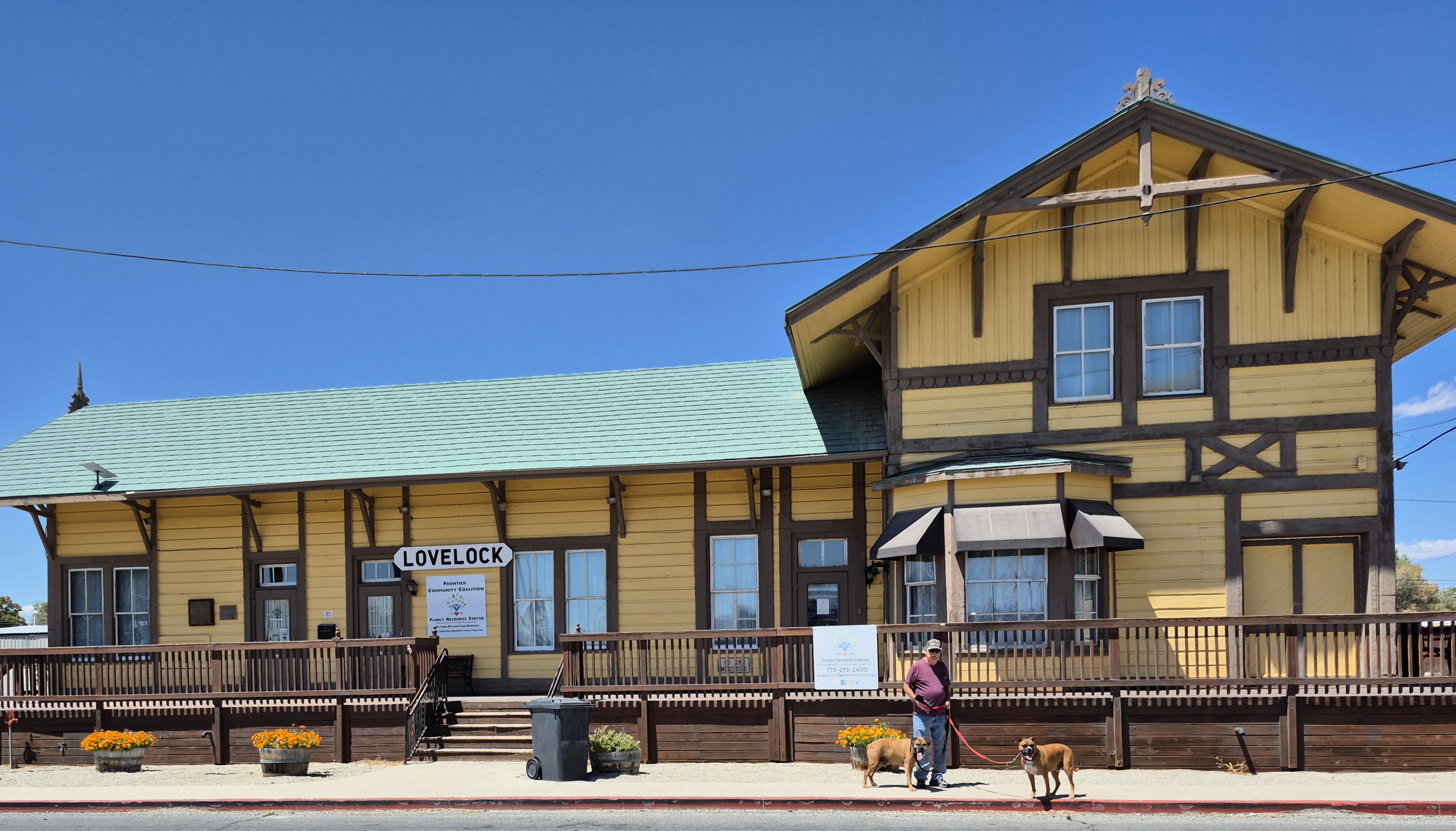
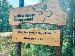
The Mellow Moose RV Park got some descent reviews. Some say the owner Matt layed out and built the park himself and I think he did. It’s laid out a little wonkie but for the most part its nice. It is located south of town off of Highway 52, down a dirt road about a quarter mile. The most popular negative was the proximity of the trains. We found them not to be an issue but we are used to the train traffic that came by the Bonneville Fish Hatchery. However, the locomotives horns are really loud!

The road to Mellow Moose is not easy to find and if not for the dirt road slowing us down to a crawl we would have blown right by the entrance to the park. Jil’s phone mapping system found it but my Garmin didn’t. Another snafoo by JIl’s smarty pants made me distrust her phone and I should have trusted it this time.

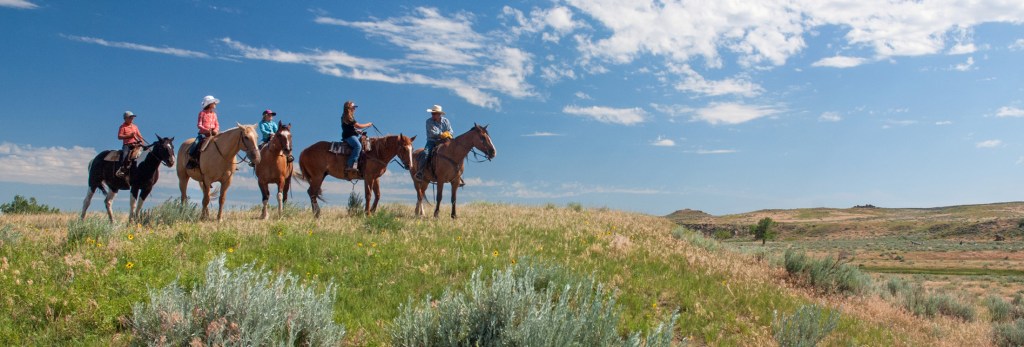
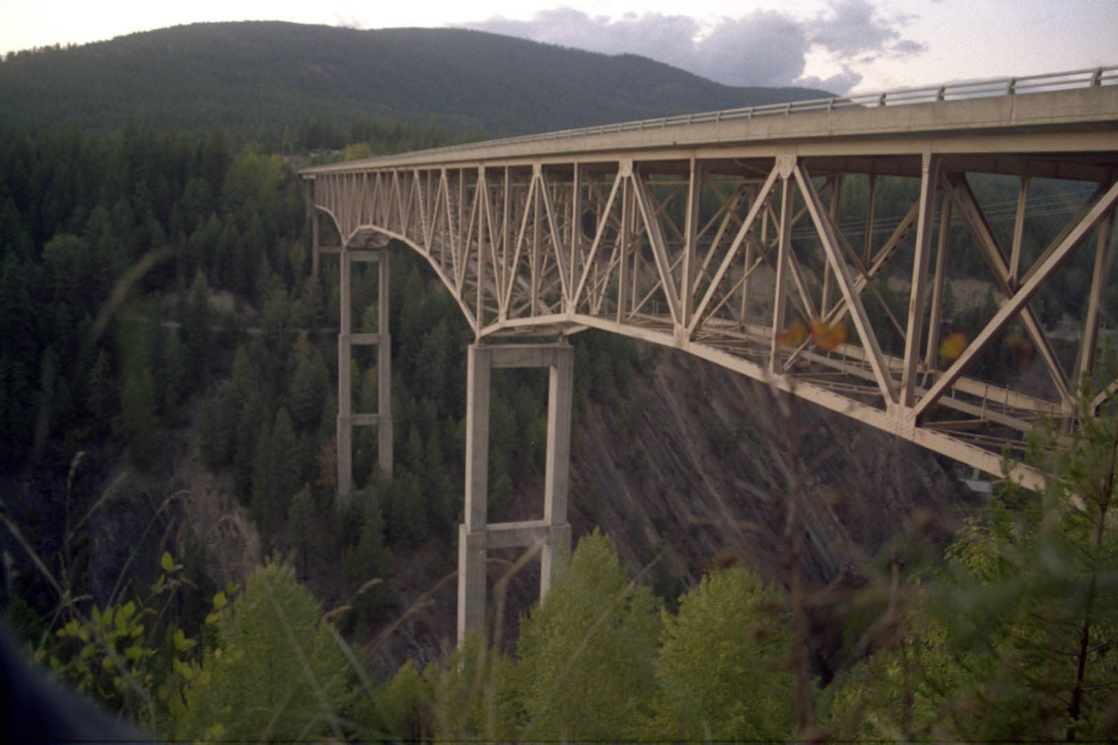
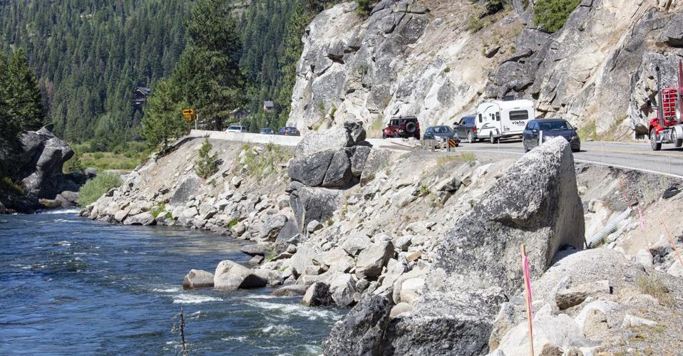
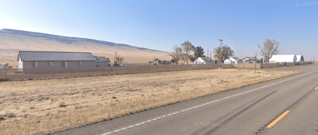
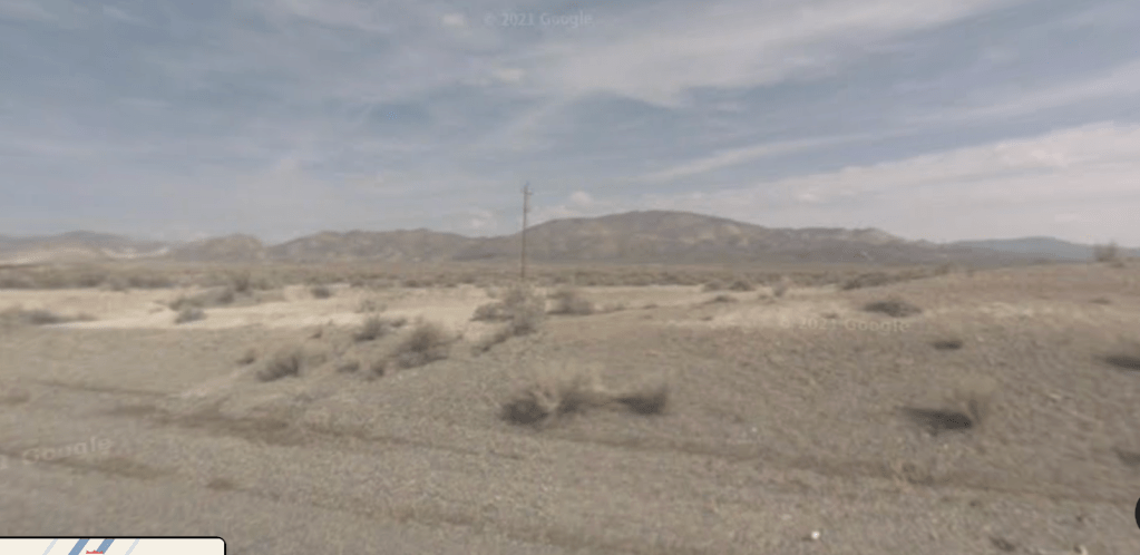
The road we went on looked just like this one

My Garmin hardly ever misfires but misfire it did. It sent us into farmland on dirt roads, past farmhouses and through fields of corn. We went really slow to keep the dust down but it still flew 20 feet in the air. The Garmin wanted us to turn on to a nonexistent road…… Oh boy! Jil’s smarty pants phone got us back on track. I think we did 4+ miles of country dirt roads before we got back to pavement and on to the Mellow Moose RV Park and Campground. Both rigs are filthy.

We got Gary’s name off of a bulletin board at the RV Park. Gary owns a supply company in another town but lives in Minot. He is a certified diesel mechanic and he is willing to come to the RV park and diagnose our air system problem on Saturday. He shows up an hour late- me thinks that’s strike one. We get the rig up in the air so he can diagnose the problem. Its not what I thought, an air valve, its the air spring we replaced two years ago. Air springs are part of the suspension system.

It wasn’t the original style bag but it is the newest of the four on the rig.. Well, it turned out it didn’t fit correctly as it rubbed on the chassis wearing a hole in the rubber bag. Rats! The bags are not easy to come by, the valve I thought was the culprit is a dime a dozen. Gary feels that since there is so much oil work accompanied by truck service shops going on in the region that he can find the air spring and get us on the road no later than Monday.

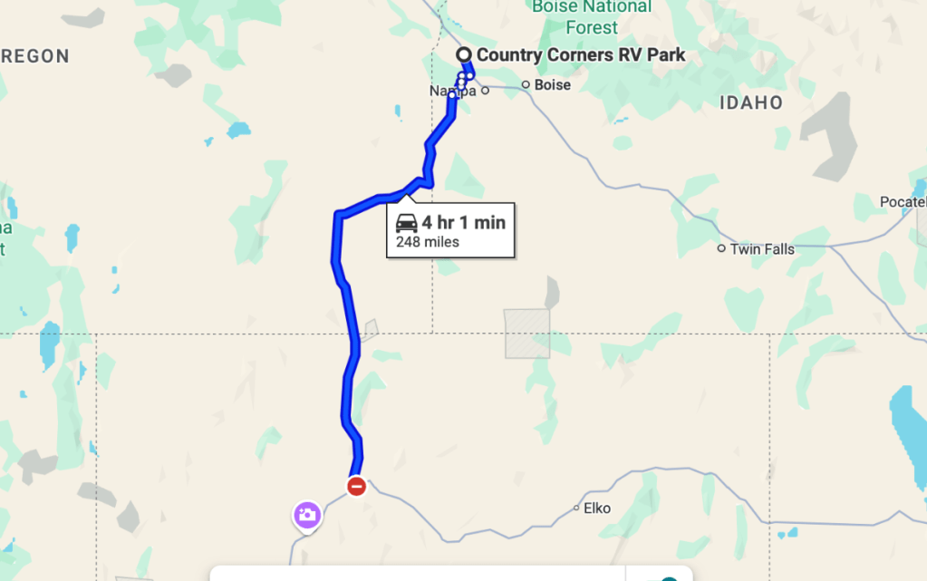
Well, not so fast there Cowboy. Air springs for this motorhome are not the same as those for a semi truck. After searching Monday, first using the air spring part number printed on the bag, then the make, model, and year of the RV, he gets a hit on the VIN (vehicle identification) number. The replacement springs are not within North Dakota so it’s two days for delivery. If we are fortunate the air springs will arrive in time for Gary to install them on Wednesday evening. Fingers crossed. Update- air spring delivery delayed in transit- they are coming from Illinois…….. We can’t leave until Thursday at the earliest.

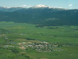
So other than Minot being a big city (48,377 souls) with a lot of resources our main reason for visiting is an old friend now lives here.

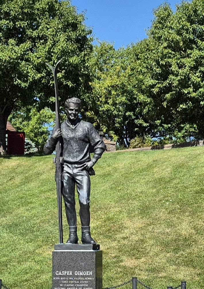
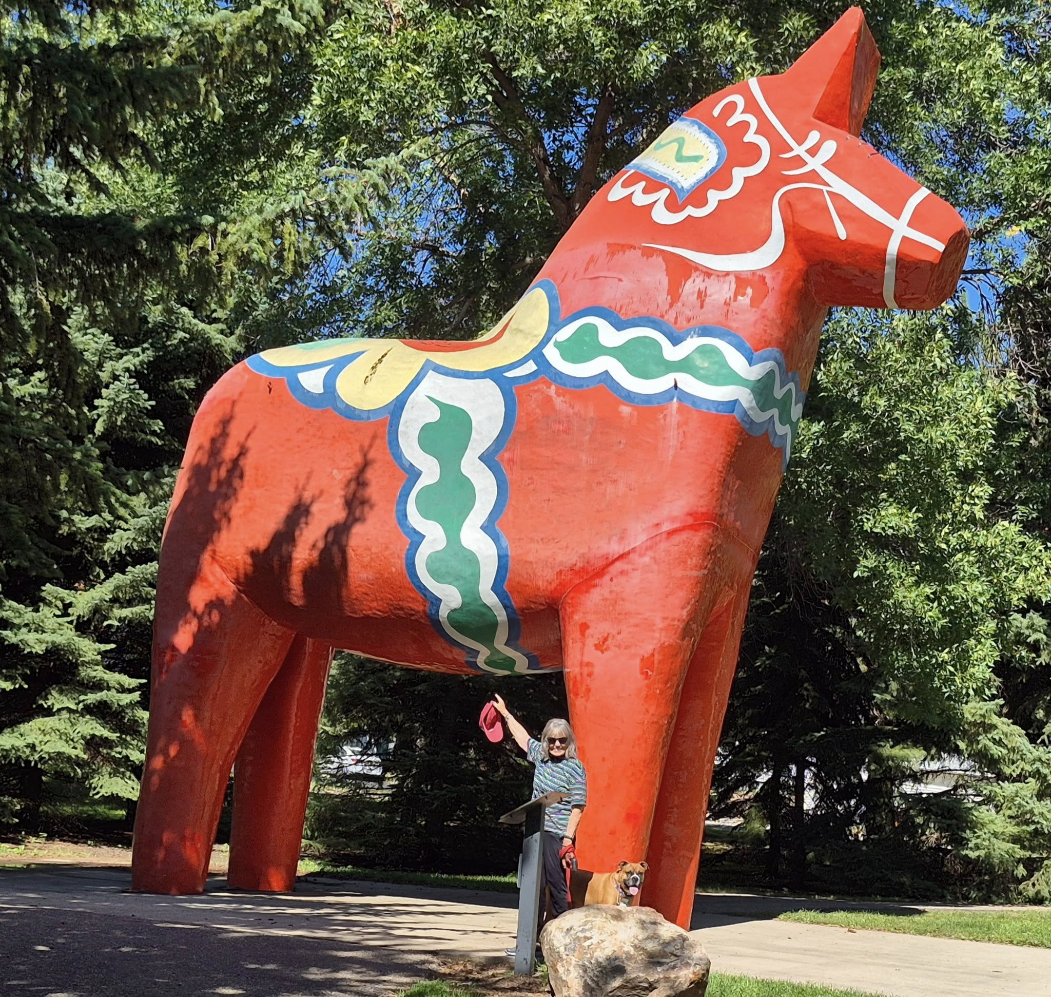
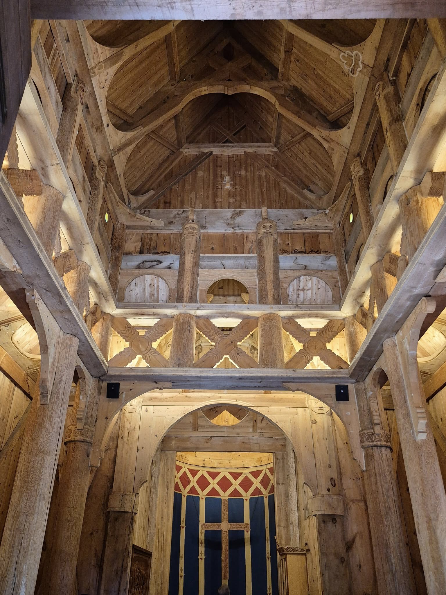
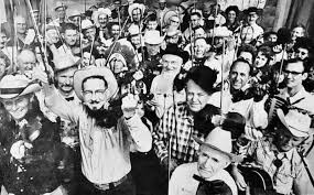
Scandinavian Heritage Park- lots of Scandinavian Folks Here

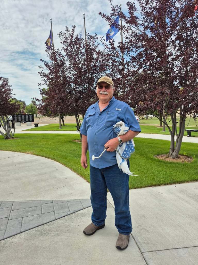
Our previous church deacon and his wife moved back to Minot from Reno last January to be with family. Unfortunately and tragically his wife died four days after their arrival. We contacted him several months ago and asked if he could stand our company. So he and we were looking forward to a good chin wag.

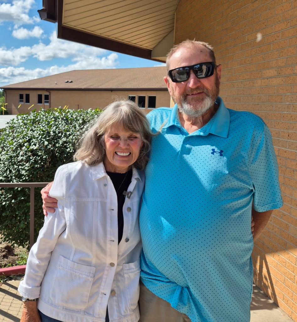
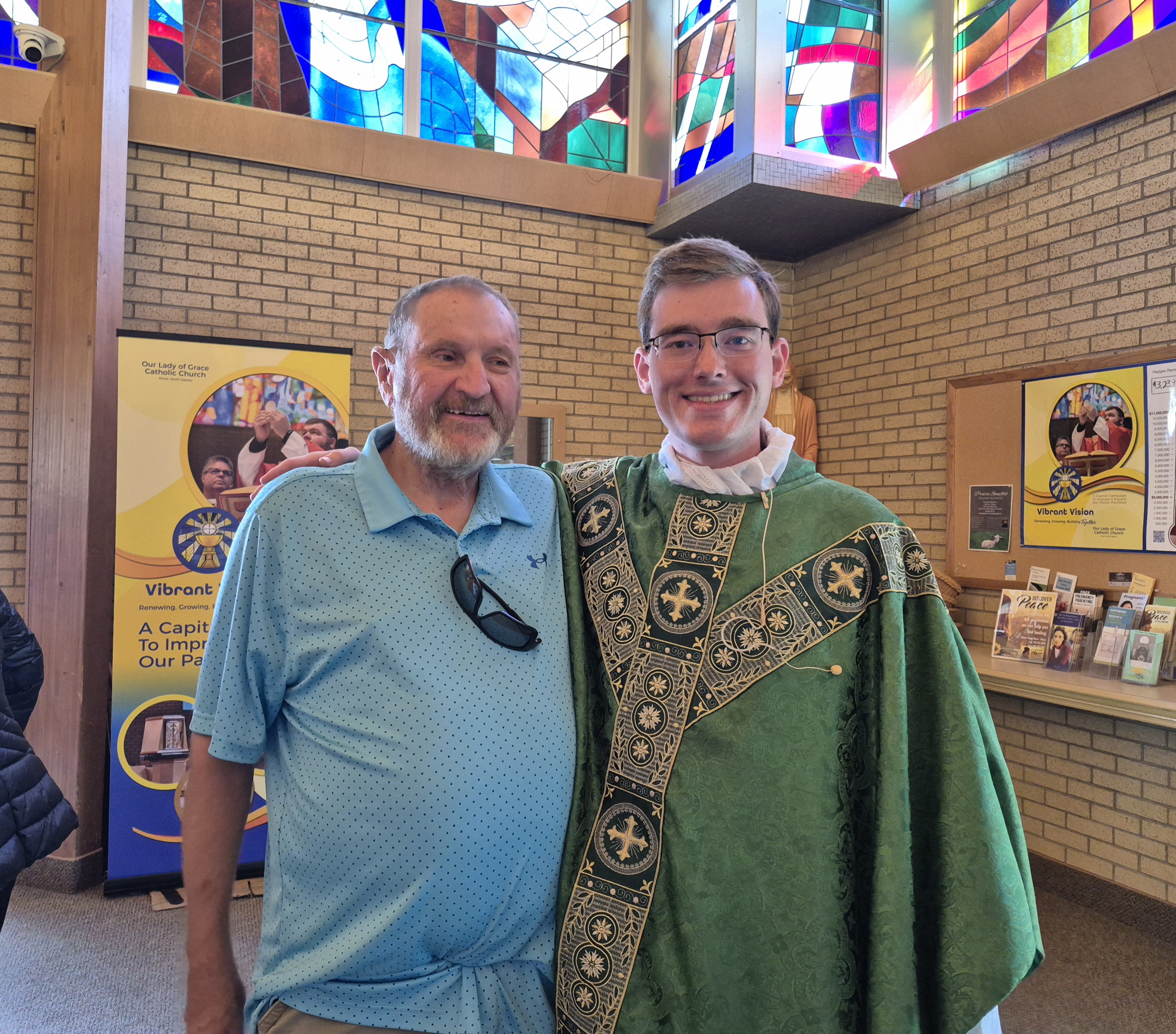
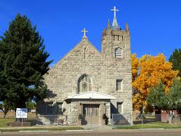
Sunday we met Deacon Bob Dangel, his daugther and two grand boys at Our Lady of Grace Catholic Church. We enjoyed Mass and the priest’s homily. Bob has been aged out as a Deacon. He introduces us to the young priest, and out of respect for Bob the priest addresses him as Deacon.

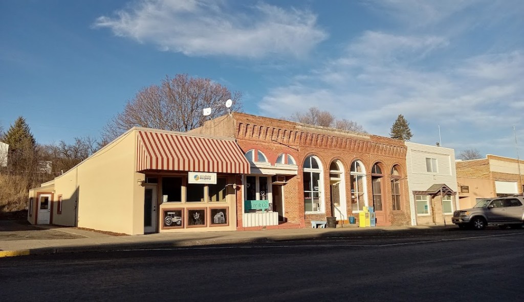
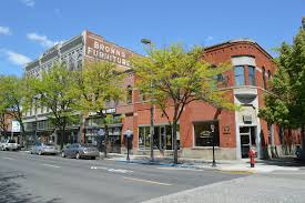
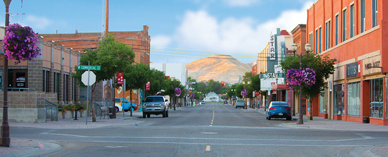
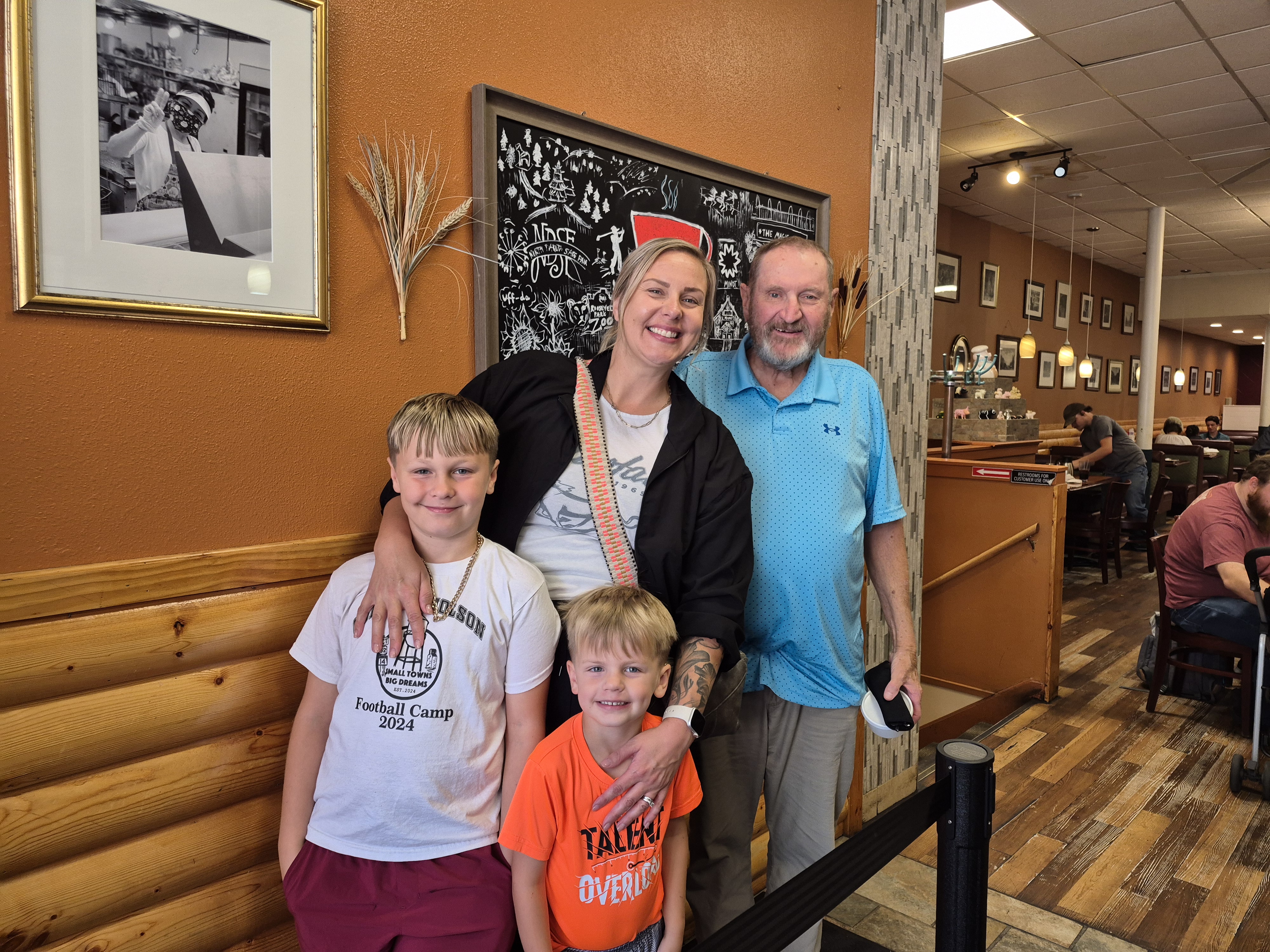
After Mass we met Bob and his family at Charlie’s restaurant for breakfast in Historic Downtown Minot. He has a lovely, loving family. On Monday we met Bob once again, this time at Badlands Restaurant for dinner. Although the food was long gone the conversation had just started. We had a wonderful time visiting with our deacon and with his family. Godspeed Deacon Bob.

We’ve been taking care of some chores while here- picking up a replacement electrical cable that is an umbilical cord between RV and Subaru when towing, a couple of prescriptions, some groceries. We are ready to go anytime our RV is made healthy. Meanwhile I have to cancel campground reservations because we won’t be able to travel to those locations to fulfill our reservations. And that’s the reason I don’t like to make reservations months in advance- ya never know what’s going to happen to mess up those plans.

So Thursday is a no-go. The good news is the air springs have been delivered and Gary will install them this evening. Tomorrow, Friday, we should be good to go. Finally!

Change of Plans- Can’t Risk It

Thursday August 21 through Friday August 22 2025

I was hoping to visit the North Unit of Theodore Roosevelt National Park. I wanted to stay one night there. It’s not large so one day should be adequate. There is only dry camping but the place looks worth investigating. But not at the expense of having a mechanical failure away from the main highway 80 miles to the north. So where are we to go? How about a place we’ve been before? How about Lewis and Clark State Park? Sure! Lets go!

On this trip we’ve been through a bizillion little farm towns. They are all agriculture driven so I’m taking a break from writing about them and will only include more significant settlements. As someone said if you’ve seen one you’ve seen ‘um all…… or something like that.

Wolf Point is a city in and the county seat of Roosevelt County Montana. The population was 2,517 at the 2020 census, down 4% from 2,621 in the 2010 Census.It is the largest community on the Fort Peck Indian Reservation and home to Sioux and Assiniboine members. Wolf Point is the home of the annual Wild Horse Stampede, held every year during the second weekend of July. Wolf Point’s Wild Horse Stampede is the oldest rodeo in Montana, and has been called the “Grandaddy of Montana Rodeos”.

Wolf Point also is home of the Wadopana Pow-wow, the oldest traditional pow wow in Montana and always held the first week in August.

Wolf Point began as a trading post in the 1860s, at the confluence of Wolf Creek and the Missouri River. Farming began in the area as early as 1874 with the Civil War pioneer Philip “Sandy” Knorr and John Winn being the first people to plant the first harvest in Northeastern Montana. Philip Knorr, John Winn, Montana Jim Helmer, Hank Cusker, Henry Kirn, Jacob Wirth, and James MacDonald being the first set of pioneers in Wolf Point. The Great Northern Railway arrived in 1887. Wolf Point incorporated in 1915 and became the county seat in 1919.

Culbertson was created in June 1887 following the arrival of the Great Northern Railway, then known as the St. Paul, Minneapolis & Manitoba Railway. The town was named after Major Alexander Culbertson, former head of the American Fur Company‘s Fort Union, 23 miles (37 km) to the east.

The settlement of Culbertson followed hard on the heels of the 1886-87 watershed years for the early cattle industry. As a result, the first settlers in the area raised horses for the US Cavalry’s various Montana and Dakota posts. As cattle prices slowly rebounded, the range was once again stocked with cattle, though the second wave of cattlemen utilized hardy English breeds instead of the Texas longhorns of the earlier outfits.

Driving 37 miles east we cross the Montana/North Dakota Border. One thing of significance strikes us- the road is so much smoother in North Dakota than in Montana. Why?- petroleum is big in N.D. and I’ll bet some of those revenues wind up in the road maintenance budget.

Williston is the county seat of Williams County, North Dakota. The  2020 census gave its population as 29,160 souls, making Williston the sixth most populous city in North Dakota. The city’s population nearly doubled between 2010 and 2020, due largely to the North Dakota oil boom.

Williston was founded in 1887 for Daniel Willis James, a merchant and capitalist. The city is at the crossroads of US 2 and US 85, near the confluence of the Yellowstone and Missouri Rivers and at the upper end of the Sakakawea Lake. It is 19 miles from the North Dakota/Montana border.

Photo

Not far away is Fort Union Trading Post the most important fur trading post on the upper Missouri River from 1829 to 1867. Its 25 miles from Williston and has been designated as a National Historic Landmark.

We travel south and east of Williston about 20 miles to Lewis and Clark State Park located on the shores of Lake Sakakawea, the third largest man made lake in the United States. We’ve been here once before and this time the park is more beautiful than the first. The sites are nicely spaced in amongst trees. There is a large play area for kids and a huge fenced area to let your mutzos romp in. The views of the lake are amazing. There is a marina for the boat enthusiasts. The only thing that keeps its rating below a 10 is there is no sewer at individual sites. It does have side by side dump station so two rigs can be serviced at once. So we’ll rate the park in the 9.95/9.6ish range. It’s a beauty!

We’ll be here for two nights and we will certainly enjoy our stay! Heading to Minot, ND next. See you there!

A Stagecoach Ride Across The Prairie Ain’t Got Nuthin’ on US 2!

Tuesday August 19 Through Wednesday August 20 2025

We’ve followed US 2 for 569 miles. About 400 of it has reminded us of the Destruction Bay segment of the Alaska Highway- frost heaves, potholes and any other roadway imperfection that makes traveling in a RV uncomfortable. Honestly, I had to rule out a mechanical problem with the rig. I went under checking all suspension parts including the air springs. I see nothing wrong. I email a best buddy who has worked on big rigs for a living and is very mechanically inclined. He said that I did the right type of check on the RV and stated the roads suffer from frost heaves just like in Alaska. His advice was if I don’t hold up traffic- slow down. Slow down is what was done. We are traveling at 50-55 mph most of the time sometimes slower when our seat belts keep us from bouncing out of our seats. Ya just can’t see the bumps and lumps and potholes in the road so we go slow. Unfortunately a one man inspection will not uncover every problem as you’ll see in a coming blog post.

We arrive at Chinook (1180 souls) in about a half hour. Chinook is the seat of Blaine County. Sixteen miles south near the Bear Paw Mountains is Bear Paw Battlefield. This was the last battle between Chief Joseph and his Nez Perce tribal members and the U.S. Army, the end of a 1200 mile running battle.

Visit Bear Paw Battlefield - Nez Perce National Historical ...

AI Overview

From Wikipedia: The Fort Belknap Reservation in north-central Montana is home to two tribes: the Assiniboine (Nakoda) and the Gros Ventre (Aaniiih). The Gros Ventre are also known as the A’aninin, which means “People of the White Clay” according to Montana.gov. The Assiniboine are also referred to as Nakoda, meaning “generous ones” according to the University of Montana

The Fort Belknap Agency is located 4 miles east of Harlem

Church - Fort Belknap Agency, MT | Near ...

Old boarded up church sitting on a hill in the Rez

Dodson (156 souls) lies just east of the reservation and between the Milk River and the Little Rocky Mountains. It is named after a merchant who oprated a trading post and saloon before the arrival of the Great Northern Railway. Dodson is the location of the Phillips County Fair, which claims to be the longest-running fair in Montana.

Malta Montana circa late 1950’s

Malta (1860 souls) is the seat of Phillips County. Malta has a strong and diversified economy. The town evolved from railway siding 54. Dodson to the west and Saco to the east grew from other sidings. A post office was established in Malta in 1890. Its name is said to have been determined by a spin of the globe by a Great Northern official whose finger came to rest on the island of Malta in the Mediterranean Sea.

Photo 1 of 4

One of the best preserved dinosaurs ever discovered and one of only four that were fossilized is a 77-million-year-old Brachylophosaurus nicknamed Leonardo, unearthed north of Malta in 2000. Leonardo, together with brachylophosaurs Elvis (1994), Roberta(2003) and Peanut  (2002), is on display at The Great Plains Dinosaur Museum. Of course we didn’t do our research- we drove right past the museum not realizing we could have visited Leonardo, Elvis, Roberta and Peanut……………

Saco (159 souls) is interesting in that it is the only small town that we’ve come to on US 2 that has 2 two story brick buildings that really stand out from the others. Why those two buildings? I don’t know…….

Saco has a cool little park. We stop for lunch and walk the dogs at the park.

Hinsdale (217 souls) has a wide sphere on influence so the population as a whole is 583 folks. Eight other town were part of the overall Hinsdale community- and they are for the most part now ghost towns. The town was originally a mile and a half east of its present location and was owned by “Six Shooter Bob. It was moved to be near the railroad.

We come to Glasgow (3202 souls). Glasgow is the seat of Valley County and the most populous town for 110 miles making it the most important economic hub in northeast Montana. The city was founded in 1887 as a railroad town by James Hill, who was responsible for creating many communities along the Hi-Line. Over the years the area was home for natives, then the sheer numbers of pioneers pushed the Lakota and Dakona off of the Fort Peck Reservation after Congress opened up the reservation to settlement.

This guy at the intersection of Middle and Nowhere– some feel this is Glasgow’s location

While in Glasgow I see a sign indicating Fort Peck turnoff at the next right but the Garmin will have none of that and wants to go straight. It’s GPS is set for the size of our motorhome so it will choose routes that are safe for our rig to travel. Also, the Garmin hasn’t been 100% correct this trip so I ask Jil to check her phone and Goggle Maps. She verifies that we should turn right.

Sooo, we turn right and 200′ ahead is a railroad trestle with a 12′ 3″ height restriction. Crap, we are taller than that! There is no place to escape so now we have to disconnect the Subaru (can’t back up with it connected), back the Subaru out to a safe place to park, and back the RV up against traffic. A local fella sees our predicament, parks his car and says “I’ll help you back out.- the Sheriff is on the way and he’ll block traffic”. So we free the Subaru, Jil backs it to a safe place, the local samaritan waves me to back up and the Sheriff has blocked traffic. I get backed up to a point where I can proceed forward on US 2 and we proceed to our next stop, the Downstream Campground in Fort Peck.

Do you see the trend that I see? A whole bunch of these small cities located on U.S. Highway 2 are county seats. Why, you may ask. Take a look at northern Montana and count the amount of towns. Not very many are there. OK, now count the amount of major east-west highways. Not many of those either. Now count how many of those towns began as railroad sidings. There, you have your answer. Most of these county seats began as railroad crossings- US 2 loosely follows the path of the HI Line railroad.

We’ve been to this area and campground in the past- it’s a nice stop. We’d like to see different things but when the temperature is pushing 100 degrees the trees at the Downstream Campground are welcome..

This is Kirk. He is one of one, the only steady volunteer to maintain this wonderful memorial in downtown Fort Peck. He’s quite a personable fella.

Up the hill from the campground is the community of Fort Peck (239 souls). The town began life as a trading post which enjoyed a virtual monopoly in trade with the Lakota and Assiniboine people. It later became an Indian Agency from 1873 to 1878 when the agency was moved to Poplar. The new town of Fort Peck was built to house the Army Corps of Engineers while the new Fort Peck Dam was being buitl beginning 1934. The town’s size was totally inadequate for the amount of workers so shanty towns sprang up nearby. The town was designed to be temporary yet it stands tall today. And the Corp still lives there. It’s really a nice town!

Fort Peck Dam Which Forms Fort Peck Lake on the Missouri River

It’s been near 100 degrees for two days now. The shade helps temper the sun some. The rig’s two A/C units do a good job of keeping the interior cool. The park is not full. The sites are very large with just electricity at each site. We like it here but tomorrow we depart- so we’ll see you then.

Don’t Even Try to Pronounce This Towns Name

Sunday Autust 17 through August 18 2025

We left Aspenwood “Resort” (really?) heading east on US 89. Aspenwood proved to be a very windy place- for all three days we were there. Reaching town (Browning) we are greeted by a friggin’ round about. Why? Traffic is so light a stop sign would suffice. We hook up on US 2 once again. We’re traveling the western section of US 2 which extends From Everett WA to St. Ignace MI on Michigan’s Upper Penninsula. The eastern section extends from Rouses Point, New York to Houlton Maine We’ll be traveling this route until we reach Escanaba MI, west of St. Ignace.

Cut Bank (3066 souls) is county seat of Glacier County. The town began wih the arrival of the Great Northern Railway and named for the cliffs on either side of Cut Bank Creek just west of town. .The town experiences bitterly cold winters, sometimes the coldest in the country. Being close to the eastern slopes of the Rocky Mountains also makes the area subject to occasional Chinook winds that can rapidly increase local temperatures.The big players in the city’s economy are agriculture and the gas and oil industry.

The Northern Plains

Twenty four miles southeast is Shelby (3169 souls), seat of Toole County, Montana. A rail station was established here in 1892 and named after the G.M. of the Montana Central Railway, Peter Shelby. It lies at the junction of the Great Northern Railway and the Great Falls & Canada Railway. In 1923 the town hoted a boxing match between Jac Dempsey and Tommy Gibbons for the undisputed world Heavyweight Boxing Title. The event almost bankrupted the town. The Well Done Foundation, which plugs orphaned and abandoned oil wells opened a visitors center in 2000.

144 Cool Thing: Dunkirk, MT School | Cool Things to See and Do in Toole  County MT

We pass a bunch of agriculture settlements space along US 2 and they were located in a sea of crops. Silos, grain elevators and a few homes are usually built on a knoll. Dunkirk, Devon, Galata, Tiber, Chester, Joplin, Inverness, Rudyard, Hingham,Gildford, Kremlin- all small agricultural settlements surrounded by crops. Burnham is home to the Havre Tire Factory.

We come to our home for two nights, Hansen’s Family Campground. The campground is 8 miles east of Havre (9362 souls). The park has nice wide sites which are plenty long. Lot of grass so the place is nice to walk the dogs- just don’t do it near dusk or sunrise as the skeeters will eat you alive! The fella in the office mentioned recent rains so maybe there was a new hatch of the little devils.

Havre has several unique offerings and that’s why we are here. In 1893, 26 people voted for incorporation and the town became a railroad town. When selecting a name for the town only the original homesteaders were allowed to vote and they selected Havre after Gus Decelles’s parents home town of Le Havre, France. Havre is the eighth largest city in Montana. Havre’s economy is driven by healthcare, retail and education with Montana State University in town, the railroad industry and agriculture, specifically wheat farming.

It is unique in that it has a buffalo jump. It was used by Indians to collect a large amount of buffalo in a short time. This jump is over 2000 years old.The Wahkpa Chu’gn Buffalo Jump is one of the most extensively researched and well preserved buffalo jumps on the Northern Plains. The archeological dig at the bottom of the jump is 20 feet deep. The Buffalo Jump is closed on Mondays. Guess what day it is………..

Haver Beneath the Streets- incredible!

Havre also has a place called “Havre Beneath the Streets”. Small grids of purple squares can be seen in some of the sidewalks downtown. These are skylights for an underground mall built well over one hundred years ago. Throughout history this underground area has been host to a brothel, a Chinese laundry, a saloon, a drugstore and at least three opium dens. Rooms were used for smuggled alcohol during Prohibition. When fire destroyed the town in 1904, legitimate above-ground businesses joined the illicit businesses operating in the underground while the new brick buildings were built on the streets above. The underground area currently operates as a tourist attraction which is……. closed on Monday….. rats!

So we struck out on the two big attractions. I couldn’t have negotiated the long flight of stairs leading down to the jump anyhow but Jil could. And the underground Havre Beneath the Streets would have been interesting. But we scored at Havre’s Walmart by golly! We got everything we needed and didn’t have to fight a big crowd to do so..

So, back to the title of this blog. HOW DO YOU PRONOUNCE THE NAME OF THIS CITY?- Havre: 1. Hav-ray- nope- 2. Harve- nope. Its Hav-er. Yep- HAV-ER. Don’t ask me why……………….

We’ll see you next in a place called Fort Peck.

We are on the Quiet Side

Thursday August 14 through August 16, 2025

Thursday morning we departed on the next leg of our adventure. We head east to Columbia Falls (5308 souls). Columbia Falls, MT, has a diverse and growing economy, heavily influenced by its proximity to Glacier National Park and its role as a gateway community. While traditional industries like lumber have seen a decline, the city has seen growth in tourism, construction, and healthcare. The town lies on the Flathead River.

The west entrance to Glacier National Park is very popular. Three campgrounds lie on the shores of Lake McDonald and access to the very popular Going-To-The-Sun Road is easy from here. We want to visit the park but not have to elbow our way through the crowd. While most folks who drive Going-To-The-Sun highway stop at the Logan Pass (elevation 6646′) then head back down the way they came, some drop down on the east side to view some more of the park. They would like to visit the Logan Pass Visitors Center but the parking lot is almost always full- cars circling the parking lot looking for a parking space.

We Spot a Stunning Peak While Traveling on U.S. 2

So we decided to go to the much quieter East Entrance of Glacier National Park- 18 miles from Logan Pass. The drive on US 2 is good to the West Entrance turnoff but it wasn’t long that the road turned into an unmaintained pile of crap. It was rough, with potholes for mile after mile- some of the worst paved road we’ve ever been on- really bad considering it is a United States Highway and a scenic byway at that. I had to slow down from the posted speed limit of 60 mph to as slow as 40 mph and it was still a very rough ride. I suspect the worst of it was in Flathead County. East of Flathead County is Glacier County. The road was much better in Glacier County.

Vistas On Our Way To Our Next Campground

We come to Essex, a very small community at 44 souls. There’s a few resorts and guest ranches along the route. The only community of size thus far is East Glacier Park (396 souls). Its Amtrak station is open seasonally. The town is heavily reliant on tourism and is located on the Blackfeet Reservation.

The Rez

The population of the Reservation is 10,405 souls while the enrolled members of the Tribe are 16,500 souls. Browning is seat of Tribal Government. Many communities on the Rez serve the tourist economy.

The Views From Our Campground At Aspenwood Resort

Leaving Browning we head west on US 89 to the place we are staying for 3 nights- the Aspenwood Resort. Honestly folks, the place has a cafe and maybe 12 RV sites. The sites offer 30 amp electric and water. It appears to be a converted field used for raising horses or cows. Don’t get me wrong- we like the place as it’s quiet, we love the country atmosphere and two horses visit us over a wire fence that separates us from them. But Lordy, calling the park a resort isn’t even a stretch! It just isn’t!

Friday we went into Browning to get a look at town and go to the Museum of the Plains Indians. The museum offered the history of the Indians but the remarkable offering was the Indian clothing, tools and weapons as well as beading and porcupine quill weaving exhibits. We’ve seen quite a few like exhibits including that of the Buffalo Bill Center of the West in Cody, Wyoming and this one is right up there with the best. Unfortunately no photos are allowed which is somewhat disappointing. It is what it is.

Two Tribal members are exhibiting their artwork. A lady is making bead bracelets but the show stopper was a fella making ledger art. Ledger artists use discarded “ledger paper”—banking book paper, accounts books, certificates and bonds, and sometimes even currency—as their drawing surface, creating art right on top of old writing, printing, and images. His art was tribal based but boy it was beautiful. He gets his ledger paper or even entire ledgers from most anywhere. He had some ledger paper from Oklahoma.

Browning is not a pretty town. It appears as a lot of folks don’t give a rats about their home’s maintenance. I hate to say it but of the many the Rez towns we’ve been to this seems to be typical. Why?

Scenes from the East Glacier Park area

Today, Saturday August 16 was Glacier NP day. We drove 20 miles to St. Mary and turned west on Glacier NP Road. My gosh, the view of those huge peaks is beautiful! We drove many miles into the park enjoying the changing perspective of the mounts and peaks. We paralleled St. Mary Lake for many miles. Traffic was light. A popular photo opportunity had less than a half dozen cars parked in the pull out.

The vistor center at the East Glacier entrance is flying three flags and it appears as if the Canadian and the Blackfeet flags are being flown higher on the staff. But that’s not true- its and optical delusion- they are flown on separate staffs.

An interesting phenomenon occurs in only one national park and it is this one. The continental divide within the park sends water three different directions. One watershed sends water towards the Pacific Ocean, another sends water towards Hudson Bay and the third sends water to the Gulf of America.

We drove back to St. Mary and treated ourselves to a drum stick ice cream and some 87 octane for our Subaru. Fuel is expensive here……….

A side note: I failed to mention Buster’s attack on a lamb back at the Blue Lake RV Resort a blog or two back. The park has a fenced dog run so on our way to Bonners Ferry we decided to let the dogs run a little. Both dogs were leashed so Buster came out first and immediately went into attack mode. I caught him- the lamb was uninjured but was knocked down. Ollie was already in the dog park and Buster half way when he unexpectedly pulled the leash out of my and continued the attack on that poor lamb and the lamb once again went down. The lamb as it turns out- was made out of concrete! Buster is a rescue. The stupid dog obviously has been trained to attack any animal including a concrete lamb. The unfortunate result was the lamb attacked Jil’s shin when it was knocked over the second time. She has a big owie that is going to take a while to heal. Buster was uninjured in the kerfuffle. As you may surmise we plan our overnight stops around that crazy dog, looking for places that have plenty of room to walk him.

Tomorrow we’ll be heading east. See you then!

We Took the Hook into Montana

Tuesday August 12 through Wednesday August 14

Once again heading north we pass through Bonners Ferry, and over the Kootenai River Bridge. We make the “hook” at Three Mile Corner with US 95 continuing to the Canadian border and US 2 hanging a right leading to Montana.

Moyie River Bridge - HighestBridges.com

Moyie Springs (822 souls) is still in Idaho. The Moyie River Bridge is 464 feet tall and has a span of 1223 feet.

The highway continues southeast paralleling the Kootenai River. The scenery is just beautiful. The BNSF Railway also follows the Kootenai’s canyon. We get glimpses of the tracks now and again. Forty two miles from Bonners Ferry is Troy, Montana.

Troy, Montana Picture Tour

Troy (797 souls) lies at the lowest elevation of any settlement in Montana at 1900 feet and lies within the Kootenai River Gorge. It was settled by miners in the 1880’s and registered as a town in 1892. The town grew quickly after the Great Northern Railway built a freight station there. It’s main economic growers are mining and logging.

Downtown Libby, Montana

Eighteen miles further is the city of Libby (2775 souls). The city is known as the “City of Eagles”- 36 foot sculptures of eagles adorn the place- one at each end of town and the third perched over the gateway to Libby’s downtown. The city is the seat of Lincoln County. Early economic activity included fur trading, railroad construction, mining and logging. Miners flocked to Libby Creek in 1867 but it was deserted by the 1870’s. By 1892 with the arrival of the Great Northern Railway the town repopulated and moved downstream, the name shortened from Libbyville to Libby. Today Libby depends more on tourism and less on mining. seventeen miles upstream is the Libby Dam, finished in 1975.

The Libby Dam is 17 miles upstream from the city of Libby

US 2 leaves the Kootenai River at Libby. It is 88 miles to Kalispell. We pass a few small settlements in that 88 mile stretch but no town. The courtryside is beautiful.

5 Things to do Near Kalispell, Montana – The Bunny Trails

Kalispell (24,558 souls) is the seat of Flathead County. The city is the 8th fastest growing area in Montana. The name Kalispell is a Salish word meaning “flat land above the lake”.

Flathead Lake | Montana FWP

The lake referred to is Flathead Lake. The lake measures 30 miles long by 16 miles wide making it larger in area than Lake Tahoe but not by volume of water. It is the largest lake west of the Mississippi by surface area and lies seven miles south of Kalispell.

Kalipell’s earliest settlers were most likely from the Hudson Bay Company. Kalispell came about as a railroad town as the railroad decided on a station here rather than larger and more settled towns nearby.

Us 93 will lead us nearly to downtown Whitefish before we turn off on Montana 40. In three miles we reach the turnoff to Whispering Pines RV park. We make the turn and see 3/4 mile long used to be gravel, now mostly dirt road. We go slower than the posted speed limit of 20 mph. Locals will tell you it don’t matter how slow you go dust is flying everywhere. We drive into the park- it’s gravel roads are clean- not dust. We check in at the office and a fella in a golf cart takes us to our site. There are two tiers to the park. The upper is newer and laid out as most parks are. The lower sites are in pine trees are nicely spaced on a loop road and the sites are LARGE! Our site has a pull through drive 100′ long. Even a few of the back ins were nearly that long. The sites are nicely spaced in amonst the pine trees. We like it!

Whitefish is a tourist town. Close enough to the U.S./Canadian border to draw Canucks and half of the U.S. knows this town for its old time downtown, the lake and the social life. The place is so popular that traffic is horrendous. U.S. 93 squeezes down from 4 to 2 lanes then goes right through town. There is really no way to not go through town if one is heading north especially if you are driving a tractor trailer combo. In the winter Whitefish Mountain Resort offers downhill skiing.

We are here to visit Jil’s sister who lives in Whitefish. Her house is just a block and a half from the shops and restaurants downtown. I suspect the house was built sometime in the 1920’s or 30’s but Kim’s late husband did a heck of a job of modernizing the place without detracting from its architecture.

Whitefish Lake

We had dinner with Kim at a nearby upscale restaurant because her granddaughter was working there that day. It was nice visiting with Maci. She’s such a nice young lady.

Jil on the left with her Sis Kim

The next day Jil spent most of the morning at Kim’s house. They were putting their heads together, trying to figure out what to do with some paperwork that Kim had received. That evening we picked up a pizza on the way to Kim’s. It was good visiting once again with Kim and Maci.

Tomorrow we’ll be heading past the west entrance of Glacier National Park. We’ve been in the park a few times, taking the infamous Going to the Sun road to the visitors center a couple of times and all the way over the mountain to St. Mary another time. A vehicle length limit keeps anything longer than a pick up truck off of the narrow, twisty road. Well, the very prominent signs keep most long rigs off the challenging road. Last time we drove the Going to the Sun road a few of us drivers met a 36′ motorhome trying to negotiate the first switchback- unsuccessfully I might add. The RV blocked the entire road- which isn’t saying much since the road is barely two vehicles wide. Some level headed fellas helped the driver move out of one lane of traffic, still blocking the second, so vehicles could get by. That was many years ago- I think the RV is still there……….. We are done with crowds and will enjoy the east side of Glacier NP as it is not nearly as busy as the west.

So we will see you next time in Browning, MT.

Never Been- So Let’s Go!

Sunday August 10 through Monday August 11, 2025

We left Soaring Hawk RV Resort (?), and headed back to Plummer, the largest city within the Coeur d’Alene Indian Reservation. The city’s economy is largely based on retail trade, entertainment, and recreation.

Downtown Plummer Idaho

The Coeur d’Alene’s Tribal headquarters are located here. Turning right on US95 we continue our journey north.

Coeur d'Alene, Idaho - Wikipedia

Downtown Coeur d’Alene

Thirty five miles north of Plummer is Coeur d’Alene (54, 628 souls). It lies on the north shore of Lake Coeur d’Alene- the name means Heart of the Awl, the name given to the Schitsu’umsh people by French traders due to the tribe’s sharp trading practices. The city began as a fort town, sited by General William Tecumseh Sherman in 1876. The town was filled with miners and prospectors after gold and silver deposits that were found nearby. Today, tourism and recreation help drive its economy.

Cocolalla Idaho - Sandpoint Realty

Continuing north on US95 we pass through a sea of humanity. Housing tracts and business districts hug the highway for miles. We finally break free, entering forests again, then pass Cocolalla (980 souls). It lies on the south shore of the lake with the same name.

ITD approves US-95 Long Bridge replacement study | krem.com

Long Bridge to Sandpoint may be facing replacement in the near future

Sandpoint, Idaho Guide to North Idaho Information and Media

In about 9 miles we cross the Long Bridge leading into Sandpoint (9777 souls). The town is at the most northern point of Lake Pend Oreille. It’s the largest town in Bonner County as well as the county seat. Economic contributors to the city are forest products, tourism and recreation. It is the largest service center of the two northern counties (Bonner and Boundary) as well as northwestern Montana.

A bird's-eye view of Lake Pend Oreille ...


Aerial Photo of Lake Pend Oreille

The largest city lies on the shores of Idaho’s largest lake, the I43 mile long Lake Pend Oreille . It is surrounded by three major mountain ranges, the Selkirk, Cabinet and Bitterroot ranges. Idaho’s largest ski resort, Schweitzer Mountain Resort, is here as well as two scenic byways. Sandpoint was named “Most Beautiful Small Town” by Rand Mcnally.

Our Site is Second fron the Left

About 20 miles north of Sandpoint is our home for two nights, Blue Lake RV Park and Lounge. We are here because RV site availability was non-existent four months ago for the Sandpoint area. We’ll be exploring Bonner’s Ferry before our jaunt to Whitefish Montana.

Bonners Ferry (2520 souls) is located about eight miles north or Blue Lake RV Park and Lounge. It is the largest city in Boundary County as well as the county seat. When gold was discovered in the East Kootenays of British Columbia in 1863, thousands of prospectors from all over the West surged northward over a route that became known as the Wildhorse Trail.

Edwin Bonner, a merchant from Walla Walla Washington, established a ferry in 1864 where the trail crossed the broad Kootinai. In 1875, Richard Fry, and his Sinixt wife, Justine Su-steel Fry, leased the business, but the location retained the name of the original founder and later the town became known as Bonners Ferry.

Before the gold rush only a few visitors had come to the region. One of the first was explorer David Thompson, a cartographer for the North West Company, and four fellow fur traders arrived in 1808 to trade with the Lower Kootenais. He came back a year later and established a trading post on Lake Pend Oreille. He was followed by Jesuit Priest Father DeSmet, missionary to the Kootenai Tribe. The Norwegian-built steamer Midge launched in 1883 transported passengers and freight between Bonners Ferry and British Columbia for 25 years. The Great Northern Railway was builtin 1892.

BCSD #101 is Boundary County School District- Proud Folks!

Early in the 1900’s the town became the center for a lumbering and a farming community. Valley land was drained and levees constructed and farms were cleared on the benches. The Kootenai Valley became known as the “Nile of the North” while the lumber company grew to one of the world’s largest lumber mills. Completion of the Libby Dam in 1975 lessened the threat of serious flooding.

In 1974 the Kootenai Tribe declared war on the U.S. Government. They posted soldiers on each end of town on US2 and asked people to pay a toll through what had been tribal land. Most tribes are forbidden to declare war on the U.S. government but the Kootenai never signed a treaty. The dispute resulted in the US conceding with a land grant of 10.5 acres………….. maybe the current casino is on that 10.5 acres…………

So as one can surmise the ferry is gone and the river can now be crossed on the Kootenai River Bridge. We head back home and spot this sign:

Some feel this permanently mounted sign is controversial

Until next time Via Con Dios!

The buds- 9 year old Buster with 6 year old Oliver on the right

Part II- The Moscow Debacle- or was it?

Friday August 8 through Saturday August 9- CONTINUED

Latah County Fairgrounds | Moscow, ID Fair Events Schedule

We left the Nez Perce Reservation not long after crossing the Clearwater. Arriving in Moscow, the GPS leads us to the Latah Fairgrounds. The partial hookup RV sites are dead ahead and to the right.. We notice the full hookup sites has no vacancy and are designed for small RV’s . We didn’t go far enough and wound up on the other side of a fence from the partial hookup sites. It appears as if only one is available. Driving back to where we can access the sites we find a lady in a SUV holding down the only available site, waiting for her RV to come fill the spot. We drove by them on the way in………. She waits and waits. It appears as if we got snaked out of the site so we set the brake and start calling around looking for available RV spots. We are batting .1000 meaning no one has availability due an event in town We’d better find a spot or we’ll be camping in a turnout alongside US95!

The RV finally drives up and the man and woman start yacking- for at least 15 minutes but don’t back the RV into the site. We can’t wait for them to make a decision. By this time we have a lead on an available site, are about to leave when both of them get in their vehicles and move to the no fee dry camping area, I guess to save a buck on site fees- even though they are camping in a $500,000 rig. Well, thanks for letting us know you were not taking the site. After all we were parked a whole 100′ away and watched as you made your indecions and you never thought to tell us the site was available. Humph!

City of Palouse, Washington Municipal RV Park

No matter. A municipal RV park has availability in Palouse WA about 14 miles up the road. Palouse (1015 souls) is named for the geographic region in which it lies. The Palouse River runs through town. It’s only 20 minutes away, has full hookups and a pull through site available. We’ll take it! The drawback is that its only available tonight. That’s OK, we’ll find another one night stand up the road.

Palouse, Washington

The Palouse RV park is small, maybe 20 sites with 6 pull throughs. There is a municipal park across the street, ideal for walking the mutzos. This park is much nicer than the fairgrounds in Moscow so rather than badmouth the inconsiderate RVing couple by at the Latah Fairgrounds I should thank them.

The park across from the RV Park. Notice the very modern children’s amenities

We enjoyed our stay at the Palouse RV Park. Our neighbors were courteous and quiet, even the young’uns. And everyone seemed to be enjoying themselves.

We can’t go to our next reserved spot as we are still a day early. i don’t like making reservations for this reason- what if there are unplanned changes such as the fairground debacle? And we do have reservations across three states through the middle of September. I’d much rather wing it but that’s been very hard to do since the beginning of COVID. Luckily another RV Park up the road has lots of sites available. It’s located on the road to Heyburn State Park I think Idaho 5.. It’s not located near the lake like the state park is so it isn’t as popular. Our Garmin GPS can’t find the RV park nor Plummer (1015 souls), the town it is near. The Google Maps found it easily. Maybe there’s an update for the Garmin……… We’ll be staying at Soaring Hawk RV Resort in Plummer ID.

Saturday morning is not a normal for a travel day. We don’t have far to go, maybe an hour down the road. So we take the dogs across the street to the park, do a little cleaning, look for interesting things to see on our route. We leave after 10oo hours and take a leisurely drive up US95.

Palouse means short thick grass. Today many crops are raised on the Palouse- wheat, lentils, barley, garbanzo beans are the major crops grown Additionally some canola and other oilseed crops are also cultivated. The palouse extends from Idaho to southeastern Washington.

As we head back to US95 we enjoy the beauty of the crops growing on the Palouse. Heading once again north on US 95 we leave the Palouse in favor or rolling hills covered with forest then back into farmland. Tiny Tedsed (84 souls) is the first sign of civilization we come to.

We enter another Native American Reservation, that of the Coeur d’Alene Tribe. Worley (257 souls) is a small town within the Rez. Not far up the road is the Coeur d’Alene Casino.

The Coeur d’Alene Casino

We are back into forested hills once again. Reaching Plummer (1015 souls) we turn onto Idaho 5 traveling 3 miles east looking for the sign that will lead us to our campground, Going a steady speed up the hill we see a small sign mounted down low. We can’t read it but the GPS confirmed that’s where we turn.

Wonderful Views from Soaring Hawk RV Resort

We hang a hard right and another quick right and a the gravel road up the hill. If not for the GPS we would have missed the turnoff for sure! Not a road one normally finds leading to an RV resort. The office is a nice building with a beautifully finished pine floor, large picture windows overlooking a killer view. Wow! The gal at the check in states that she is related to the owners and she comes to visit and help out every summer. I mention how difficult it is to read the sign. She states that the tribe will not allow anything larger. She hops in a golf cart and takes us to our site. The RV park is on top of a hill with killer views. Although they call themselves a “resort” there are zero amenities which would qualify it as a “resort” in my opinion. It’s an RV park, sites are gravel and nicely spaced, and it’s nice one at that. There is lots of open space to walk the dogs amongst the pines which is much appreciated by all four of us.

It’s a good stop. Sometimes changed plans work out for the better. It did this time!

Heading North to Moscow, ID

Friday August 8 through Saturday August 9

Take heed!- This blog entry is very, very long! I found the places along our route fascinating, especially the history of the Nez Perce People. I read about their lives, their battles, their treaties with the U.S. Government, their 1100 mile flight in an attempt to escape from the U.S. Army. I’ve been to his Chief Joseph’s burial site in Joseph Oregon. To say I could have written much more is an understatement. So please bear with me as I have condensed this segment of our trip as much as my blabber fingers would allow…………………… So buckle your seat belts folks, and continue on!

It’s time to be on our way. We are visited once again by Rob just before we pulled up stakes. It was nice visiting with he and Cathy again.

US 55 winding through canyon paralleling Little Goose Creek

We take a route that does not take us downtown, soon passing through the canyon of Little Goose Creek. The road through that canyon winds left and right down a narrow path so we go slow. After a few miles we are retracing our steps back to New Meadows.

The village of New Meadows- the huge meadows in the background

At New Meadows we turn north on US95 toward Riggins. The meadows are huge and beautiful ringed by forested mountains. The meadows provides a lot of fodder for grazing animals and not just for the many cows that are raised here.

Having fun in Riggins Idaho!

After a short while we pass through the small communities of Pinehurst (1600 souls). Pollock (322 souls) lies on the Little Salmon River. We’ll follow the river for 10 miles until we reach Riggins (419 souls). Riggins, nestled deep in a canyon, is located at the confluence of the Little Salmon and Salmon Rivers. The town is known as the Whitewater Capitol of the World. Riggins is the most northwestern Idaho town in the Mountain Time Zone as Pacific Time Zone begins just outside of town. Ask me why….. I don’t know…….. The town has an annual rodeo and a two day music festival. Rafting, kayaking and fishing are very popular.

We enter the Salmon River Canyon he Salmon River Canyon, also known as the River of No Return. This area is a vast wilderness area, the largest in the 48 states. It is renowned for its deep canyon and whitewater rapids. It’s one of the deepest canyons on the continent, second only to the Snake River canyon. The canyon is over a mile deep for approximately 180 miles. The Salmon River Canyon is significantly deeper than the Grand Canyon with granite walls plunging 5000 feet deep in some areas. Interestingly, the Salmon River is the highway for the longest migration of Sockeye Salmon in North America terminating at Redfish Lake- Pacific Ocean to Redfish Lake is 900 miles with an elevation gain of 6250!

We have a long and steep climb out of the canyon at White Bird with an elevation gain of approximately 2700 feet over several miles.

We summit at 4245 feet and head to the Camas Prairie, now the Nez Perce National Historical Park. Camas bulbs were a important food source for Native Americans, especially the Nez Perce.

Downtown Grangeville, ID

Ten miles north is Grangeville (3141), the largest city and seat of Idaho County. It is home to the state’s oldest rodeo as well as the world’s largest egg toss. Well, that’s what Wiki states. The Camas Prairie Railroad (known for its large trestles) was discontinued in 2000 as not profitable. The economy is driven by agriculture, forestry and a growing tourism sector.

Cottonwood, Idaho - Wikiwand

Cleaver architecture for a dwelling, eh? Cottonwood ID

Still heading north on US95 we come to Cottonwood (822 souls). Cottonwood began in 1862 as a series of way station shelters for prospectors and mining suppliers on their way south. It was named for the dense growth of trees that formerly lined Cottonwood Creek.

500 Saint Clare St, Craigmont, ID 83523 | Zillow

Just up the road is Craigmont (501 souls), the first town on US95 that is within the Nez Perce Reservation. When the railroad came through the Native town of llo, named after llo Leggett, daughter of town founder and merchant W.O. Leggett it ignored the town. In 1904 the Camas Prairie Railroad bypassed the town and started a settlement on the northeast side of the tracks calling it Vollmer after the man that platted the townsite. llo responded by moving its community to the southwest side of the railroad tracks, adjacent to Vollmer. After a decade long feud and consolidation of school districts the communities merged in 1920 and became Craigmont.

The Nez Perce, pronounced in English is Nez Purse, were named by the French, Nez Perce meaning pierced nose. Ironically the Nez Perce did not pierce their noses as other tribes did. Their reservation today is 750,000 acres or 1171 square miles. Lapwi is headquarters. Ironically Tribal members only own 13% of the reservation. I have no idea why only 13%, I would have thought 100%. Tribe enrollment is 3500 souls.

Historically the tribe is nomadic hunting Buffalo on the plains and fishing for salmon at Celilo Falls on the Columbia River. They interacted with tribes from the Oregon and Washington coast, to Montana and down to the Great Basin of Nevada and Idaho. Of course, they would harvest camas bulbs on the Camas Prairie. Notice that the reservation doesn’t seem to include much of the Camas Prairie locate near Grangeville. The tribe bred Appaloosa Horses. Tribal co-responsibility is for many rivers and drainages. They fish on the Clearwater River.

The tribe’s first treaty with the U.S. government came in 1863. A lot of tribe members regarded it as the “Thief or Steal Treaty.” The Nez Perce War of 1877- began when Nez Perce and some allies refused to give up their ancestral lands and move to a reservation- all this in violation of the 1855 Treaty of Walla Walla which granted the tribe 7.5 million acres of their ancestral lands and the right to hunt and fish on lands ceded to the U.S. Government.

The treaty of 1883 didn’t treat them any better at it cut them off from horticulture sites and the source of camas bulbs on the Camas Prairie. Armed conflict ensued causing the Nez Perce to embark on an arduous trek north initially seeking help from the Crow Tribe- the Crows refused. They sought sanctuary with the Lakota led by Sitting Bull but Chief Joseph realized their only hope was to make a run to the Canadian border. The Nez Perce fought battles and skirmishes on a fighting retreat of 1170 miles. The war ended after a final 5 day battle at the base of Montana’s Bears Paw Mountains- 40 miles from the Canadian border. Chief Joseph then gave his famous speech- “I will fight no more forever”. The New York Times editorial discussed the conflict this way: “On our part, the war was in it origin and motive nothing short of a gigantic blunder and crime.”

We stop at a rest stop on the Rez- its a fast food restaurant and gas station with an area to park big rigs. Well, at least the locals are taking advantage of the parking by offering food and fuel and a tribe owned rest stop to enhance highway safety.

St. Joseph’s Mission, Culdesac ID

We bypass Culdesac (380 souls) as its not located on US95. It’s named from its location at the end of a railroad line, i.e. a  cul de sac.

We pass through Sweetwater (143 souls). Next is Lapwai (1137 souls). It is the seat of government o f the Nez Perce Indian Reservation and site of the former Fort Lapwai. Lapwai, by the way, means butterfly. The city as well as others to the south including Cottonwood are served by the BG&CM Railroad, formerly known as the Camas Prairie Railroad.

Spalding is the site of the Nez Perce National Historic Park. This location has long been a place where the Nez Perce have lived and fished. Many changes took place here as the Indian Agency was moved to this location in 1861 remaining until 1904. When the agency moved out of town, Spalding shrank down to its last business, Watson’s General Merchandise Store, closing in 1964. The site of the mission was preserved by the state.

Then in 1965 Congress created what was known as Spalding Park- the headquarters and visitor center for the Nez Perce National Historical Park.

We cross the Clearwater River, paralleling it for a mile or two. Then, still on US 95, we leave the lowlands, heading north up into the hills.

Genesee business district

Genesee (955 souls) is off to our right. It’s know for its grain production. The 1981 movie Talent for the Game was filmed there.

Downtown Moscow Idaho

Our stop for a night or two is at the Latah County Fairgrounds. It has a few full hookups and maybe 10 partial hookups It offers boondocking (no hookups) for free. We are here to visit Mosow (25,435) souls(University of Idaho) and nearby Pullman WA (Washington State U.) Moscow is the seat of Latah County. Moscow, by the way, is pronounced MOSS-coe.

When we pull into the fairgrounds we are greeted with a surprise. We’ll get to that “surprise” in the next blog. Until then, stay safe out there!

Visiting in McCall, Idaho

Tuesday August 5 through Thursday August 8

Our drive today is a short one. We pack up and head west on I-84 towards Ontario OR. traveling through rolling ranch and farmland.

Before long we turn off the interstate and join highway 30 heading north through appropriately named Fruitland (6100 souls) as the town is known as “The Big Apple” of Idaho. Plenty of water for orchards as the town lies between the Payette and Snake Rivers.

Downtown Payette Idaho

Somewhere in town highway 30 takes a left, the road north is now designated as US 95- perfect. Next came Payette (7430 souls) known as a gateway to outdoor recreation. The town started life as Boomarang in 1882, a necessary railroad town that received logs floated down the Payette river and turned them into railroad ties.

Downtown Weiser Idaho

Weiser (5500 souls) supports farm, orchard and livestock industries. The city sits at the confluence of the Snake and Weiser Rivers, the Snake marks the border with Oregon. The city is named after the Weiser River but who the river is named for is unknown……..Olds Ferry began operating in 1863 so William Logan took advantage of ferry traffic coming across the Snake by building a roadhouse- the beginning of today’s city of Weiser. Weiser reached the height of prosperity wha a railroad station was established making it a transportation

hub.Weiser bills itself as the “Fiddling Capital of the World”. The national Oldtime Fiddlers Contest has been held each year since 1953. The town still has a great many original buildings from the 1890’s and early 1900’s that are on the National Register of Historic Places.

The old Hunter’s Inn, Cambridge

We continue up the fertile valleys and come to Cambridge (335 souls). The town seems a lot more populous than it is as the business district is a whole three blocks long. The town is known as a ranching, farming community with access to Hell’s canyon and whitewater rafting.

Midvale, Idaho

We cross some hills and pull into Midvale (171 souls) which is named for the valley in which it stands- Middle Valley. It hales back to 1868 when the first settlers arrived. Even tiny towns have a claim to fame- its hometown of former U.S. Senator Larry Craig.

Council, Idaho

Forty three miles up the road is the town of Council (867 souls). Council is the seat of Adams County. Council has an annual porcupine race on July 4th.

Porcupine being guided by proper tools found only in Council

Youth go out a capture a porcupine, race them and return them to where they were found. The Council Mountain Music Festival is held the third week of August. We stop at the USFS station to stretch our legs.

From council the road gains some altitude and we are soon in the pines. The road follows the Weizer River and the canyon it has carved out over thousands of years.

Lumber Mill at Tamarack Idaho

At Tamarack a saw mill and lumber company dominate. We continue on to New Meadows (517 souls) located at the junction of US 95 and US 55. The number of souls has to include every farmer, rancher an their families in this huge meadow As one would expect the place has a gas station and several small shops and cafes.

We continue east on US 55 as US 95 turns to the north. Were heading to Mcall and its great RV Resort. The industry uses the term “resort” very loosely- no guidelines at all as a matter of fact. But I’d say McCall RV Resort comes as close as any. The park seems to be continually expanding and this time we are in the newest expansion. We drive in from the west into McCall paralleling Payette Lake’s south shore, drive a couple of miles south to the RV park and check in. Siz months ago I tried to make reservations at the beautiful Ponderosa State Park but had no luck. That’s how popular camping in an RV has become.

Downtown McCall ID. US 55 urns left just before your tires get wet.

We are in McCall to visit Jil’s brother Rob and his better half Cathy. It’s been several years since we’ve gotten together so this ought to be fun. MCCall has a little bit for everyone- upscale lodges, seasonal house rentals, reasonably priced to upscale restaurants all on the south shore of beautiful Payette Lake. Traffic on the main thoroughfare (US55) is OK in the morning but horrible in the afternoon.

We got together for dinner a couple of times to catch up with family events. We spent time together in a Mexican restaurant that overlooks Payette Lake- what a view, then a nice golf course restaurant the next day. Rob visited our camp site a couple of times. Rob and Cathy are thinking about moving from Mccall in favor of being closer to their grandson. The hitch, as always, is that their kids are thinking about moving themselves. So we’ll see how this plays out.

We love McCall but it has that one glaring negative. It’s a very popular place summer and winter. A lot of folks frequent McCall since it is only 2 hours from Boise. In fact the RV park shows it’s proximity as it rents sites by the month and those folks bring all their toys- four wheelers for trail riding, boats, kayaks canoes, electric bikes- all piled up at their site. But man! The traffic!

Cathy, Rob and Jil enjoying one another’s company

We enjoyed our visit with Rob and Cathy and hope to visit with them some time in the future.

We’ll be heading to Moscow- pronounced Mos- co, Idaho tomorrow. Come join us!

Traveling to Caldwell ID to Meet Friends

Saturday, August 2- Monday August 4

We pulled up stakes Saturday morning and headed over to US 95, our route to Caldwell, ID. The road crosses the Humboldt River just outside of town, then rises to an elevation where the entire Winnemucca area is visible. It’s typical of Nevada- lower valleys passing between mountain ranges. The mountain ranges mostly run north and south. The state has 314 named ranges, the most in the contiguous U.S. We pass farms located on the fertile bottom land and groups of small communities located near the highway. The road will take us over a low pass as we head north. Farms are scattered along the road on which mostly fodder is being grown. The road seems to be fairly straight, only wiggling to avoid a mountain or to line up on the rare community.

Scenery just east of Orovada

About 44 miles north of Winnemucca is the very small farming community of Orovada, 155 souls. If you are not a farmer the only other employment might be the US Post Office or the Shell gas station.

Casino in McDermitt NV

30 miles north of Orovada is the booming border town of McDermitt. In fact, the town straddles the Nevada/Oregon border. And you’ll never guess what you’ll find on the Nevada side- yep, a casino. The combined population is 513 souls. After the last mine closed in 1990 the population has steadily declined. Without mining the economy is based solely on ranching and farming with a little income from the casino. Seventy-five percent of the residents are American Indian, predominantly Northern Paiute of Fort McDermitt Indian Reservation. The highway takes us close to the Say When Casino. Limited hours gives it the appearance that it’s shut down, it just hasn’t opened for the day yet. There is little in this town that is of interest to us. The town, originally known as Dugout, was originally established to support nearby Fort McDermitt.

An original building of Fort McDermitt

Fort McDermitt was established in 1865 to protect the stagecoach route from Virginia City through Winnemucca to Silver City, Idaho Territory. It was located near the Quinn River and measured 600×285 feet. Continued unrest from the Indians forced the increase in the fort’s size to two miles square with a two mile by 5 mile hay reserve on each side of the Quinn River eventually expanding the hay reserve to 10,374 acres. It was the longest lasting Army fort in Nevada lasting 24 years. The troops were involved in operations against the Bannock and Shosone Nations in the Snake War, Bannock War and Modoc War. On July 24, 1889 the fort was turned over to the Indian Service and adopted for use as an Indian school on the Fort McDermitt Indian Reservation.

The Fort McDermitt Paiute and Shoshone peoples call Fort McDermitt Indian Reservation home. The reservation extends from Nevada and Oregon into Idaho. 16,354 acres of the reservation are in Nevada and 19,000 acres in Oregon. Of the enrolled tribal members 42 live in McDermitt and 313 Native Americans live on the reservation. Fort McDermitt has the greatest concentration of Northern Paiute speakers and up to 30% of the tribe’s children can speak the language. Chief Winnemucca and his famous daughter Sarah were members of the tribe.

This is Basque- A place but not a pubic community

Again driving north on US 95 about 39 miles. We are still driving between mountain ranges. Basque is basically a community of Oregon State road maintenance workers homes and their equipment. A very long section of Oregon’s portion of US 95 seems like it got scraped in preparation for paving, then it didn’t happen. It has no center line just little guide markers meant to position a paint striping truck down the center of the highway and no fog lines. The roadway looked weird but was relatively smooth. Signs posted the whole length of that part of the highway stated “no center line”. Like after 50 miles with no center line we can’t figure that out? DUH!

This place calls itself Rome Station because the cafe says so…….

The area reminds me more of a high plain than a valley. We reach Burns Junction and turn east towards Rome OR. Near the junction is the site of the defunct Burns Air Strip which supported a radar site from the 1950’s. We continue to Rome, or Rome Station as it is sometimes called. Rome is located next to the Owyhee River.

The Pillars of Rome rock formation

This place has a cafe and a fueling station and little else. Its the jump off spot to the Pillars of Rome, a 100′ tall rock formation that reminds one of the ruins of Rome.

We climb the basalt bluff on the other side of the Owyhee River (pronounced similarly as Hawaii) and continue on to Jordan Valley (130 souls). The Paiute people frequented the area as it was rich in food sources. Conflict with early settlers developed, eventually escalating to the Snake War. The conflict lasted from 1864 to 1868 and left two thirds of the Paiutes dead- the survivors were sent to a reservation.

Pelota Court in Jordan Valley- built in 1915

Non-native settlement was driven by the discovery of gold along Jordan Creek in 1863. Jean Batiste Charbonneau, the son of Sacagawea was among the early miners to come to the area. His grave is not far from town. Mining dwindled and residents survived by transitioning to farming by 1875. In 1888 there were an estimated 100,000 head of cattle in the area. Basques arrived starting around 1889. They built several sandstone buildings as well as a Pelota court (Pelota Fronton) which is still there. With the help of local Irish immigrants they built St. Bernard’s Catholic Church. To this day the majority of the town’s population identify as being of Basque Heritage. We stop at the very nice community park to stretch.

St. Bernard’s Catholic Church

US 95 turns to the north in town. We are now aimed towards Idaho’s Treasure Valley also known as the Lower Snake Valley. We’ll drive through some hilly country then drop down to the fertile valley in about 40 miles.

At an overlook is a sign explaining Owyhee Couny. It says “the name applied to the mountains and the whole surrounding region is an outdated spelling of the word Hawaii. Fur Traders brought Hawaiian natives- then called Owyhees- to the Northwest. In 1818 Donald McDonald brought the first big brigade of fur hunters to the Snake River Valley. He sent several Owyhees to trap- and they never came back. Ever since then this has been called Owyhee Country. Hawaii and Owyhee sound the same.”

Country Corners RV Park on Sand Hallow Road

We drive down a long hill to the valley below. It is so green with crops growing everywhere. We drive through miles of corn fields and head towards Caldwell. Our Garmin leads us towards town and then we zing north avoiding downtown. We jump on I-84 for 8 miles and then turn off at Sand Hallow and Country Corners RV Park. This is a nice old school park with grass separating RV sites. The property is bordered on the street side by more grass and trees. It has a small shady dog park. The staff is friendly. What more could you want?

Jil and Julie amigos for more than 60 years

Jil’s high school chum Julie and her hubby Terry live in nearby Star. We met in Caldwell at Amano Mexican restaurant. It was a very warm reunion. The chef of Amano is a James Beard Award finalist. James Beard Award is like receiving an Oscar for food. The restaurant is very nice inside obviously upscale but the Mexican music is a little too loud. It’s hard to hold a conversation. The menu is unlike any Mexican menu we’ve ever seen. Terry and I go for the Birria hash. It’s supposed to have jalapeno and potato with the Birria meat- like a Mexican style hash. We receive a six inch round by 3/4″ thick dollup of hash with two sunny side up eggs topping the concoction. It tasted OK but was extremely salty. I would have ordered the three taco plate but could not justify $42 for three tacos. The girls ordered something different that was supposed to be chicken based but said they only tasted a small amount of chicken. They couldn’t tell me what other ingredients were on their plates. Overall none of us were impressed with the food as we were expecting something that resembled Mexican food and it never did. Even chips and salsa were extra…….. Finalist of James Beard Award= great presentation but food- ehhhh not so hot.

We’ll just hang around our last day at County Corners as Jil is not into a drive. But we can cruise through the farm and ranch land in the immediate area and run down to the local store/cafe and gas station. That store, by the way, is an absolute hoot! It has everything- groceries, solid surface steam mops, carpet cleaner machines, RV supplies, automotive supplies, a comprehensive supply of nuts, bolts and screws, a four rack electric rotisserie-all for sale. And that’s all I can remember- they had a ton more “stuff” in the store that doesn’t measure more than 2000 square feet. I asked the gal at the register if they had a kitchen sink for sale- she said it’s coming next week…………

Were heading out of here tomorrow going to McCall Idaho. It’s a very pretty area and Jil’s brother lives there. So we’ll see you all in McCall!.

Our 2025 Great Lakes Trip is on!

Friday, August 1, 2025

We’ve been planning this trip for many months. It didn’t used to be that way but the COVID panic seems to have changed traveling in an RV forever. The travel part really hasn’t changed, the camping part has radically changed. More people have found that they can work remotely from an RV as long as the internet is available so they do- and they bring their young family’s along. We used to camp during the shoulder season meaning most kids are back in school and their parents are back home. The old way we traveled is that we would decide on a destination/route but where we’d stay along the way was done on the fly. When we decided to stop for the evening we’d just call an RV park up and make reservation. “Sure come on in!” would be the reply. Now we plan a place we’d like to visit and make reservations months in advance, even less popular places. This trip we booked RV parks for August and a half of September three to four months ago………all the way to Milwaukee……..

Truckee River East of Reno, NV

Leaving Reno/Sparks Nevada we head east on I80. Today we’ll “stage” in Winnemucca passing some interesting places on the way. The highway follows the Truckee River for many miles until the river turns north on its way to Pyramid Lake. Not long after parting ways with the Truckee we arrive in Fernley.

Fernley is the seventh largest city in Nevada at 22,900 souls.

Nearby is the Naval Air Warfare Center and TOPGUN in Fallon. Ya, I know- what’s the Navy doing so far inland. You’d have to ask the Navy……. Fernley is home to the world’s first Tesla Gigafactory. The town was established in 1904 as a agricultural and ranhing community.

Forty Mile Desert

Just east of Fernley is the area dreaded by emigrants following the Callifornia Trail in the 1800’s as they headed west by wagon train- the forty Mile Desert. They had to cross this desert with their wagons and teams of oxen with no water available for themselves and their livestock except what they could carry until they crossed this 40 miles of hell.

A bizillion padlocks displayed in Lovelock park

We like to stop and take a break in Lovelock when heading east. It’s municipal park invites everyone to add a padlock of some sort to the chain of locks already there- a play on its name. As we approach the small park we notice lots of different colored objects- sun shades, lots of pop up sun shades. The community is having some sort of affair on Friday afternoon. Our mutzos would be overwhelmed if we attended the gathering. Besides, there is no place to park 60 feet of rolling stock so we find a place to park next to the old railroad depot and take the boys out for a stretch. Lovelock gets its agricultural water from Rye Patch Reservoir which is supplied by the Humboldt River.

Thunder Mountain Monument, Imlay NV

About a hundred miles east of Fernley is the burg of Imlay, 171 souls. Despite it’s size it sports an elementary school, general store, post office and trading post. It is a nearly abandoned railroad town. Imlay’s most notable feature is Thunder Mountain Monument created by Frank Van Zant. Van Zant was born on a Creek Indian reservation in Oklahoma and identified himself as Creek. He made ready for the coming his perceived apocalypse by making a de facto spiritual haven for spiritual seekers of the hippie era. Not much remains of the Thunder Mountain Monument complex yet it remains a popular tourist attraction.

Google geothermal project in Winnemucca may be milestone | Serving Northern  Nevada

Geothermal Plant along I-80

As we travel along Interstate 80 several geothermal works appear. There is also the Eagle Salt Mine. Mining salt in Nevada is a real deal. We pass a large hill that must have minerals of value as trucks trundle along its steep slopes to be loaded with something of value- I just don’t know what.

East of Imlay there are areas that have enough water to grow hay or alfalfa. I-80 follows the shoulder of a steep sloped range for a while. A few folks choose to live here in small communities, most of which are not named along the interstate. There are some places named along the highway that don’t have a building, a town, nor people yet Google Maps shows the places’ border. Strange……

We drive to east side of Winnemucca where we’ll be spending the night at the New Frontier RV Park. I think its the newest park in the area. The trees are still less than 15 feet tall and offer zero shade. Luckily the temperature today is in the 80’s. This is our jump off place. We’ will be heading north to Caldwell, ID tomorrow. We are 171 miles from home and its 250 to Caldwell from Winnemucca- too far for us senior citizens to travel to Caldwell from Reno in one day.

Downtown Winnemucca NV

Winnemucca is known for its cowboy culture and Basque cuisine. When the continental railroad reached the town many about 400 Chinese railroad workers decided to stay building. The city of 8481 souls is an important regional transportation center along I-80 and US 95. The city is the seat of Humboldt County and the only incorporated town in this county. The city was named for Chief Winnemucca of the Northern Paiute tribe.

Until next time……………