Thursday, August 29, 2019

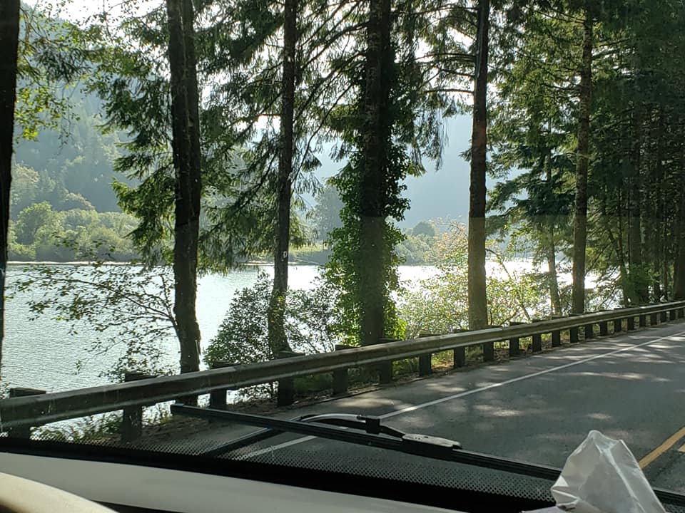
Monday morning we picked up, jacks up, hooked up the toad and headed south on Cascade Highway NE. At Sublimity (2600 souls) we turn east on OR 22. The 22 follows the Santiam River by Mehama (283 souls), through Mill City (1800 souls). Part way up a steep walled volcanic rock dominated canyon we come to two dams, the Cliff and the larger Detroit which holds back Detroit Lake.
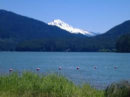
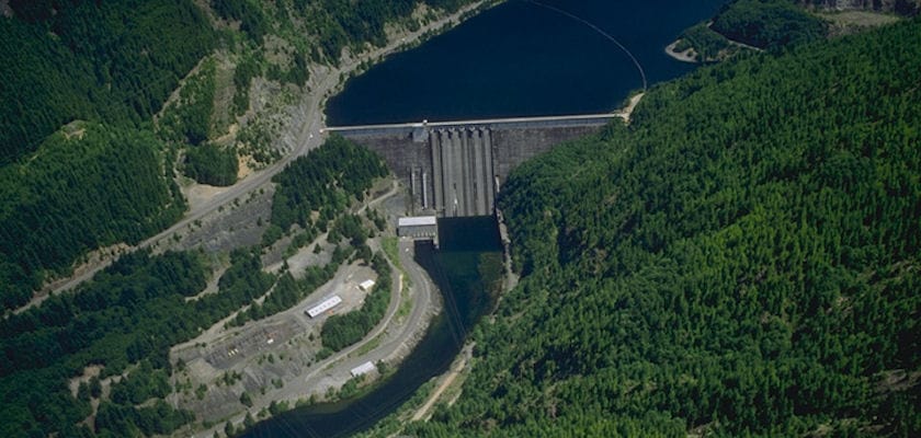
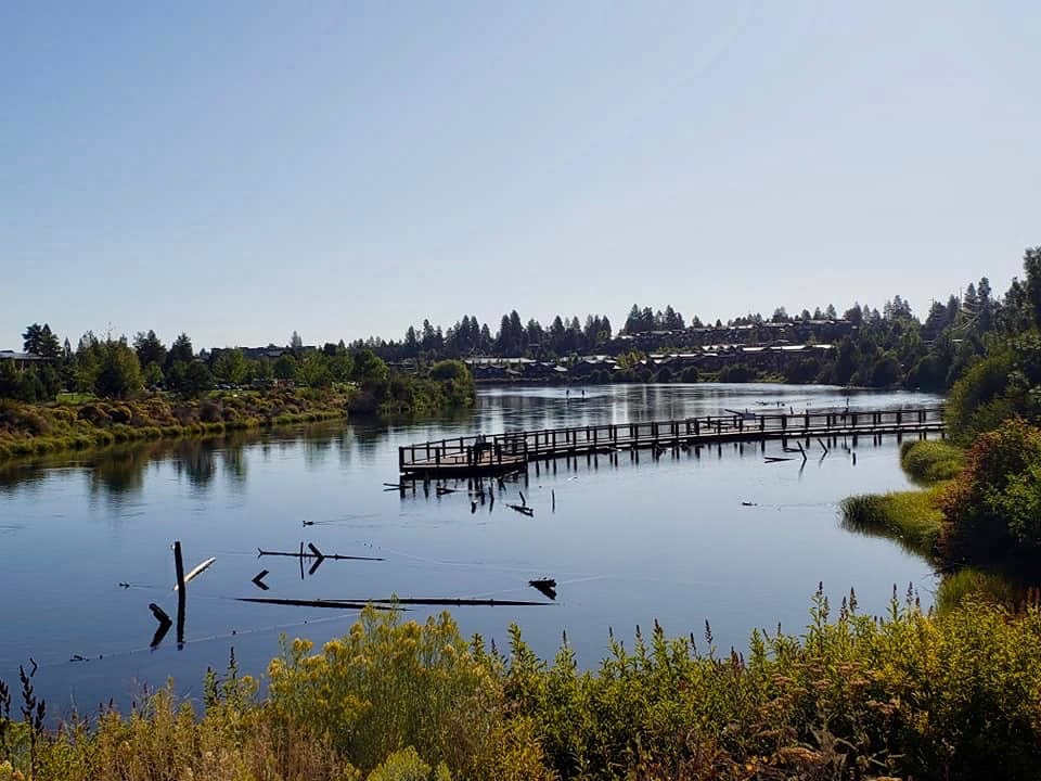
Detroit Lake and Detroit Dam
We pass Detroit Lake State Recreation Area and the town of Detroit (202 souls). It was named for Detroit Michigan in the 1890s because of the large number of people from Michigan in the community. From there OR 22 runs through deep forests mostly following the Santiam River.
Oregon Route 22 merges on to US Highway 20 and steadily climb until we reach Santiam Pass (elevaton 4817), then a long downhill grade until the road flattens out a few miles from the town of Sisters (2100 souls).

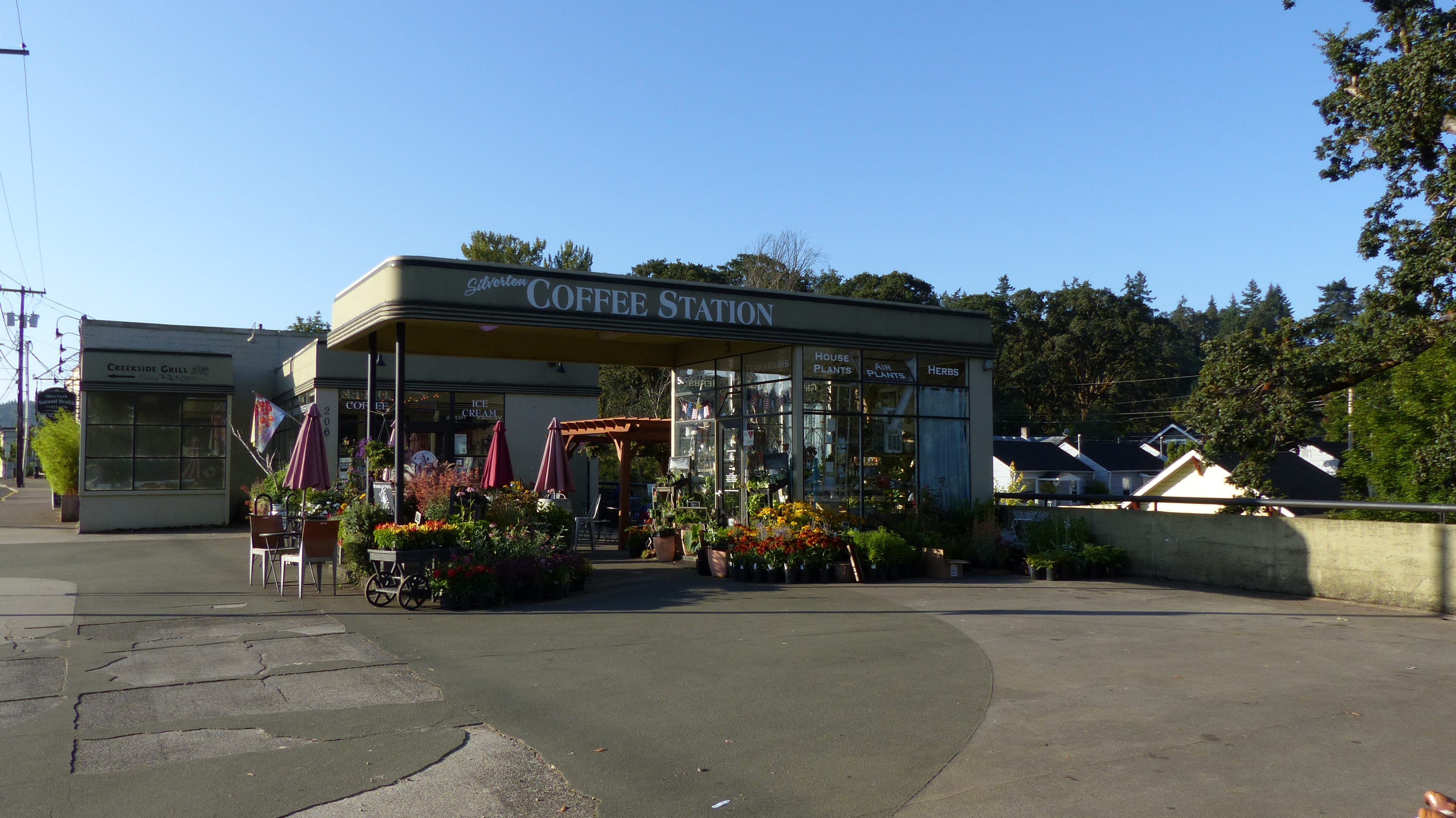
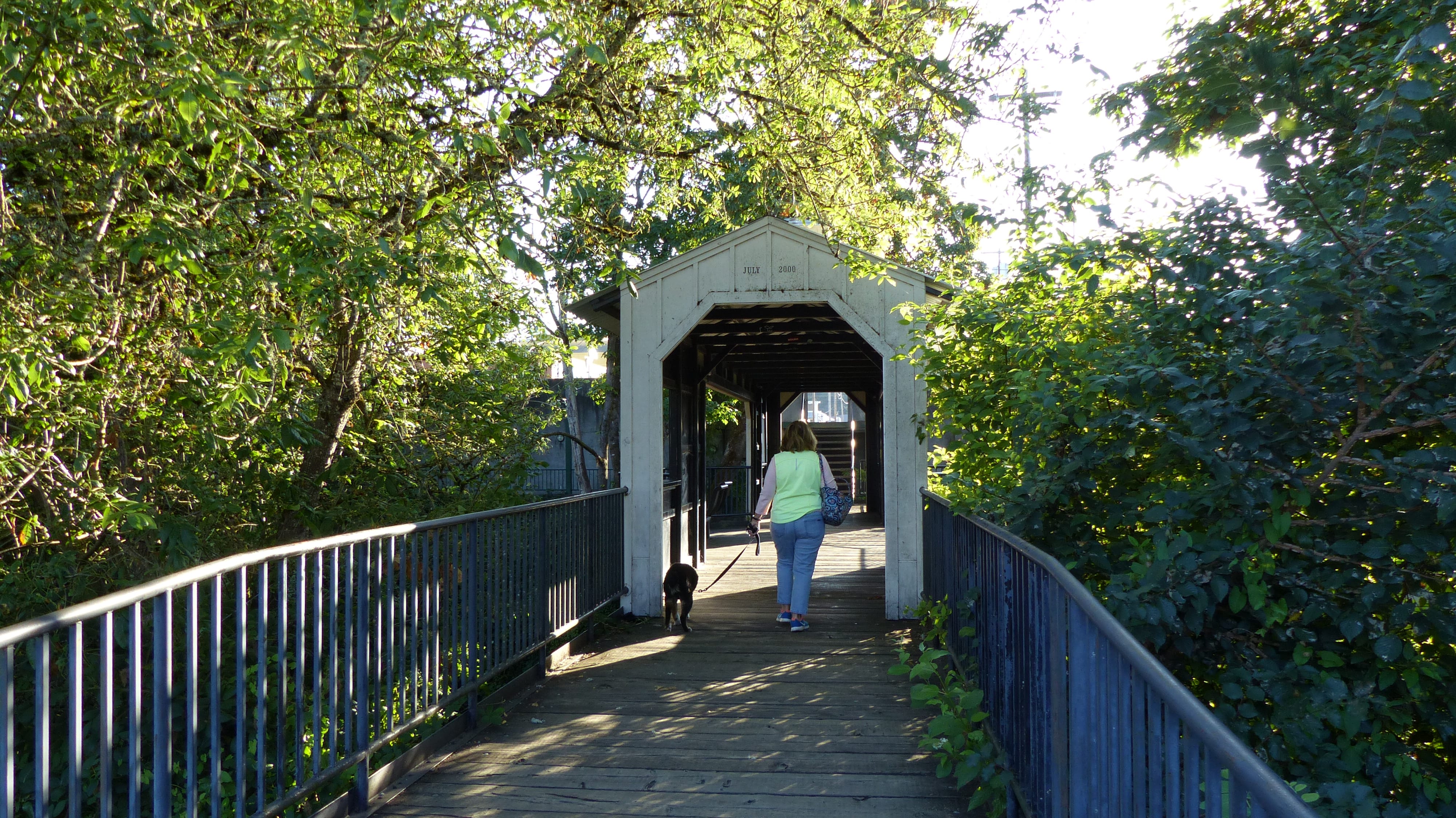
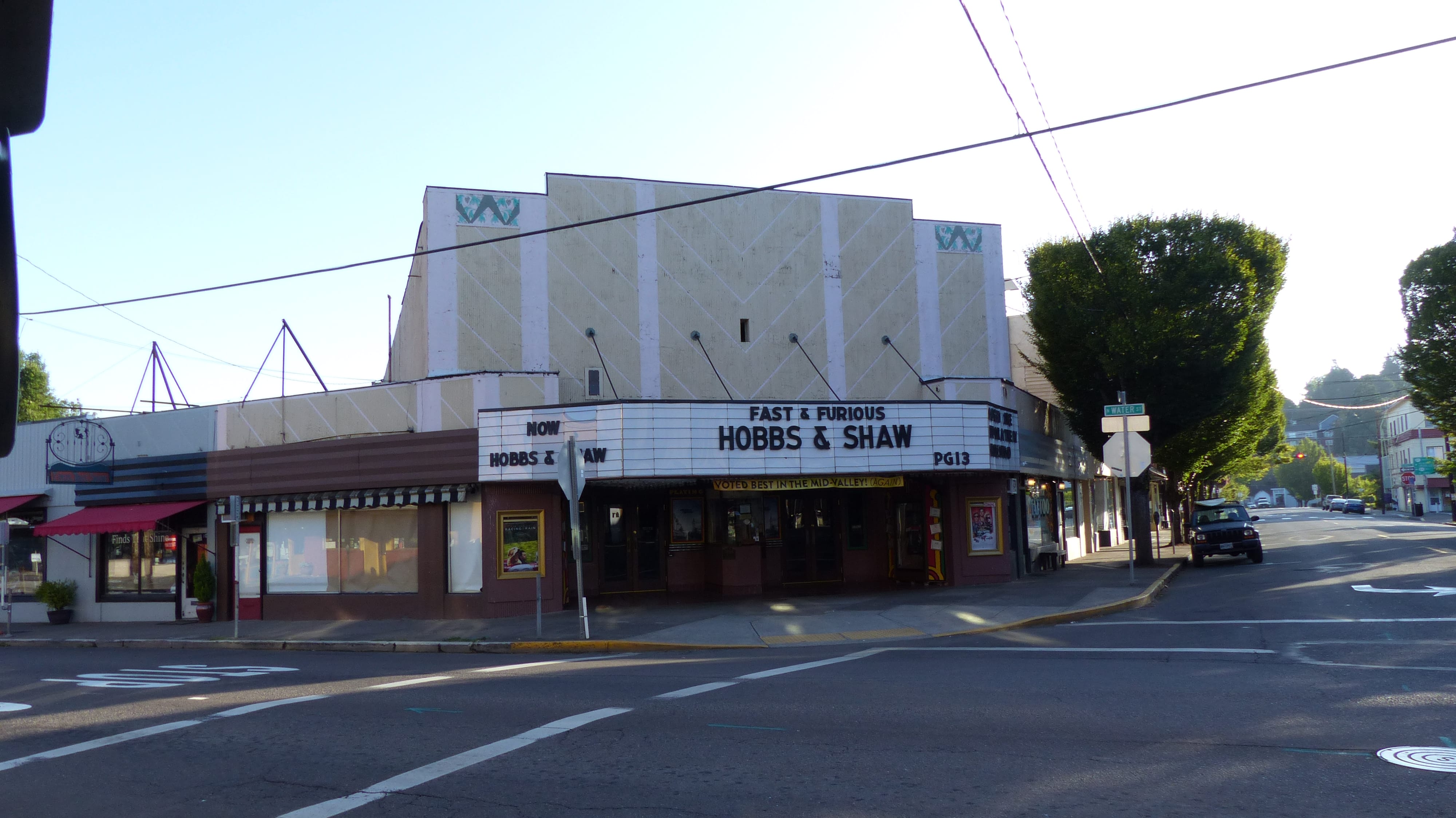
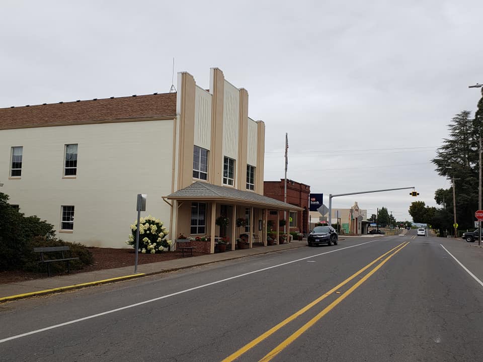
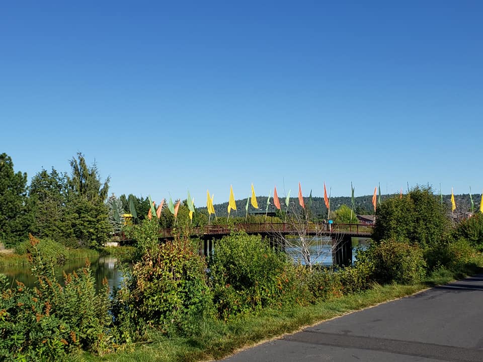
Sisters was named after the nearby Three Sisters mountain peaks. Navigating Sisters is a giant P.I.A. as US 20 runs right through the quaint, touristy commercial district. On any given day the narrow route is packed with jay walking people and bumper to bumper vehicles- including big rig trucks. Side traffic darts in and out. Stop and go, really slow traffic is a given. A downtown bypass route is needed.

Sisters- Traffic is Relatively Light Today!
Just east of town tall conifers give way to open sage, ranch and farm country. We get a great view of the local volcanic peaks, seven are within sight. US 20 takes us into the north side of Bend where we pick up US 97, traveling to the south side of town. Crown Villa RV Resort is where we will stay for four nights.
Bend is the seat of Deschutes County and the principal city of the Bend-Redmond metropolitan statistical area. It is located on the eastern edge of the Cascades Range along the Deschutes River. Ponderosa Pine forest transitions into the high desert, characterized by junipers, sagebrush, and bitterbrush. Bend is also Central Oregon’s largest city. The 2000 census recorded 52,000 souls living here. The current estimate is 100,000, nearly double from that of 20 years ago. This place is growing like gang busters! The Bend-Redmond metro population is estimated at over 197,000 making it the fifth largest metro area in Oregon.
Bend was named after one of the few fordable locations on the Deschutes River, Farewell Bend. The area was first visited by a fur trapping party in 1824 followed by John C. Fremont and other U.S. Army survey parties. Next came pioneers who forded the Deschutes at Farewell Bend.
The first sawmill was operational in 1901, the next, a water driven sawmill, became operational in 1903. A dam built in 1910 provided the city with its initial source of electricity. It is still produces electricity today supplying nearly 200 households.
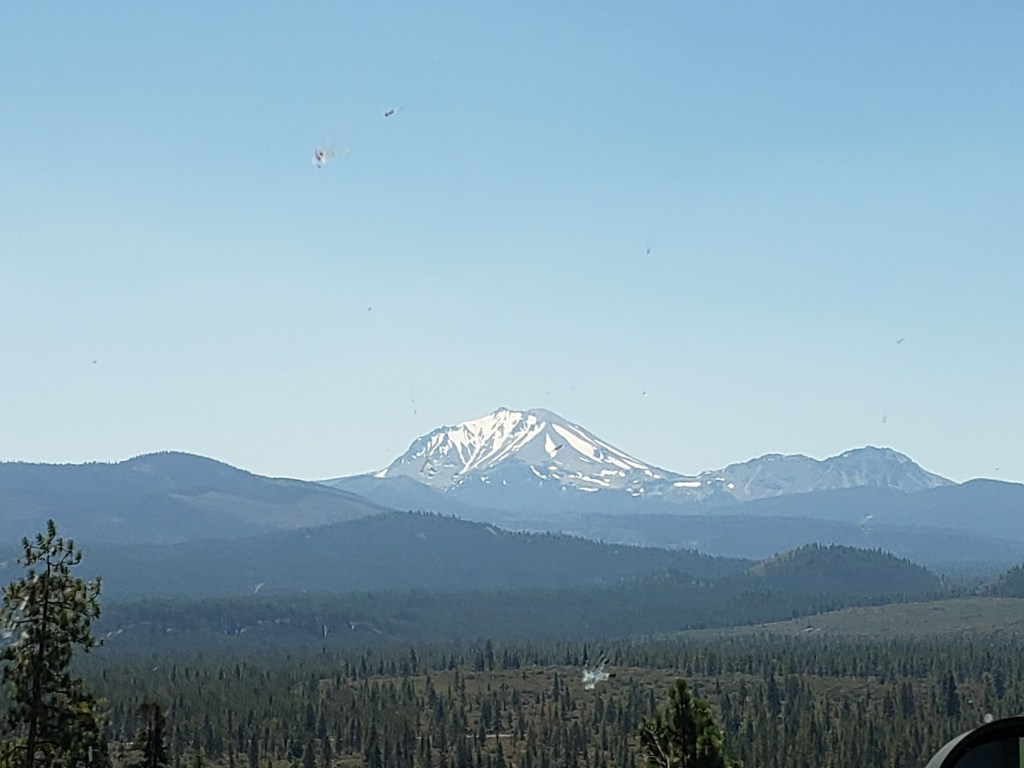
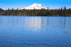
The Cascade Range has a string of volcanic peaks that line up like soldiers from south to north beginning in California and ending in British Columbia. Several of those peaks can be seen from Bend.

Mt. Bachelor 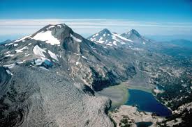
Three Sisters 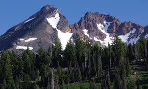
Broken Top
The best viewing from town is from 500 foot Pilot Butte, itself an extinct volcano. Three Sisters, Broken Top and Mount Bachelor are easily seen from the butte. Three Fingered Jack, Mt. Jefferson and Mt. Washington are also close by.
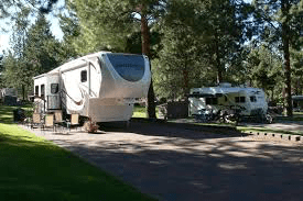

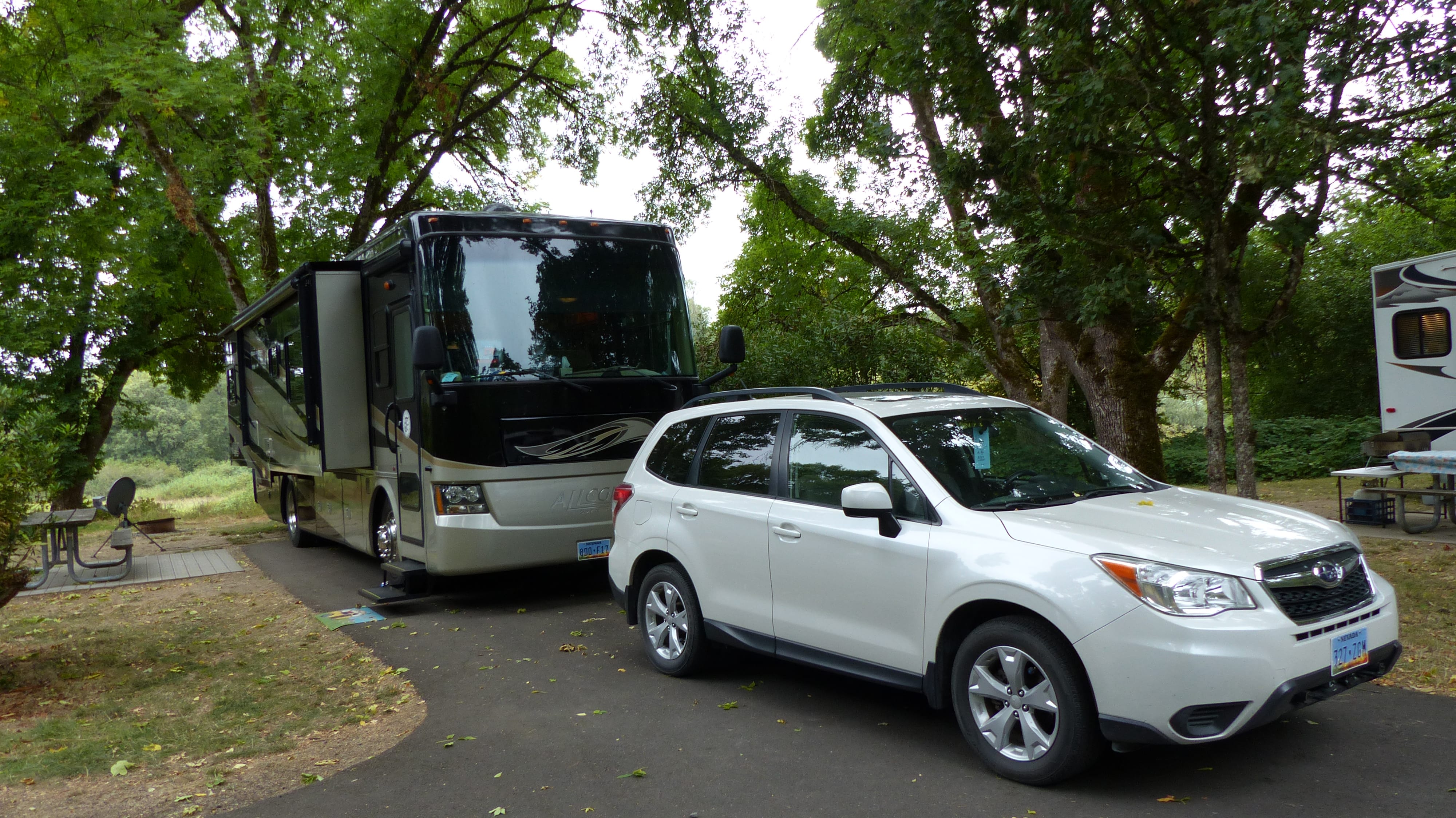
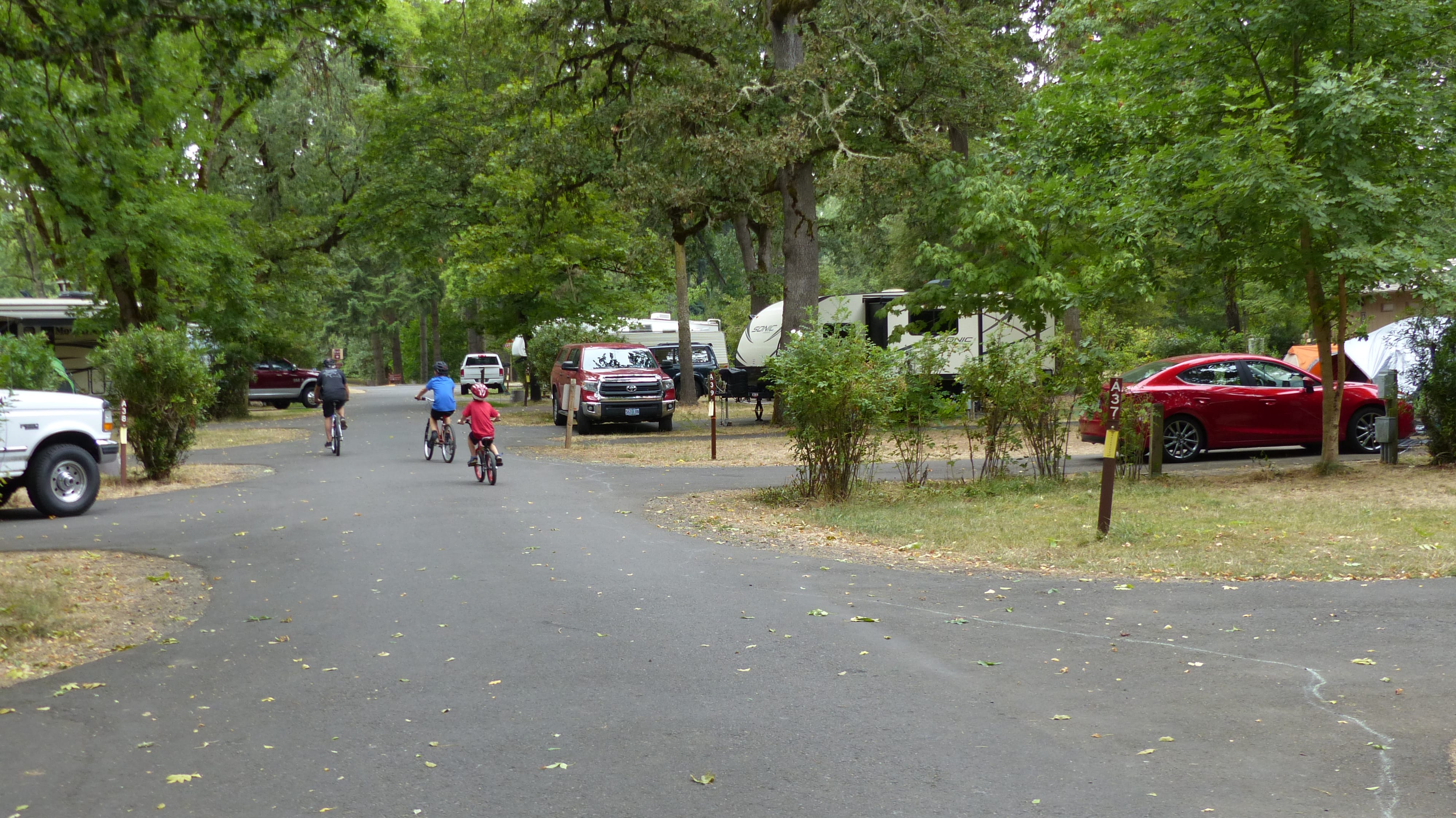
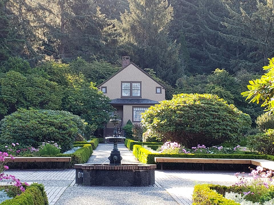
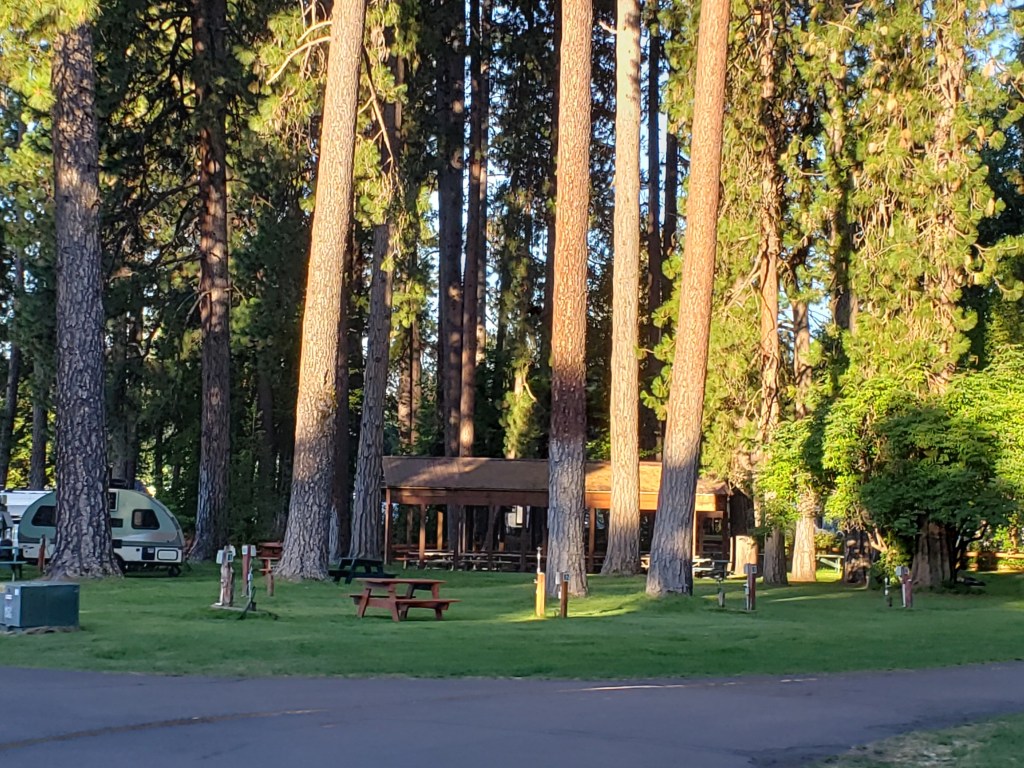
We usually stay at the Crown Villa RV Resort. It is one of the few self proclaimed resort parks that we consider an actual resort. It was originally advertised as purchase your own lot. However sales were slow so that idea was nixed. Amenities include an fitness center, a gathering room, a lounge, a patio with fire pits and a BBQ, tennis/pickleball court, horseshoe court, pool table, hot tub, steam rooms and a very nice laundry facility. Whew! As a plus the staff is incredibly courteous, helpful and friendly.


Old Mill District- Smoke Stacked Building Was A Lumber Mill, Now A Mall
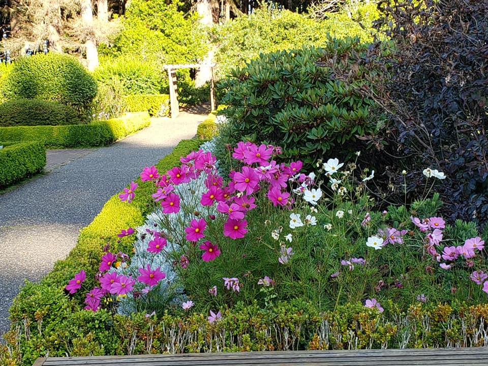
One place we always go while in Bend is the shopping mall at the Old Mill District. One of us likes to shop at JJill! Sometimes we take the Cascades Lakes Scenic Byway and loop through a portion that beautiful country. Little Lava Lake is one of our favorites. Picture a small alpine lake surrounded by fresh smelling pines with Mt. Bachelor looming large in the background. Sometimes we take a drive up to 97 foot Tumalo Falls.

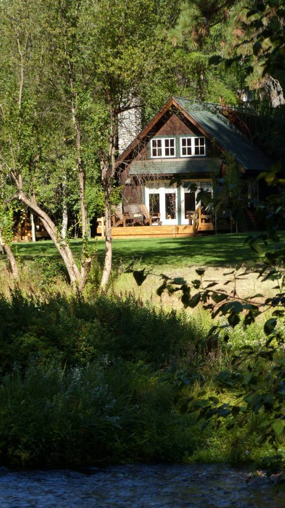
On this visit we decide to go to another one of our haunts, Camp Sherman even though that requires driving through Sisters- ugh! Camp Sherman is a tiny community of 230 souls located very near the headwaters of the Metolius River. That population swells to three or four times that during high season.
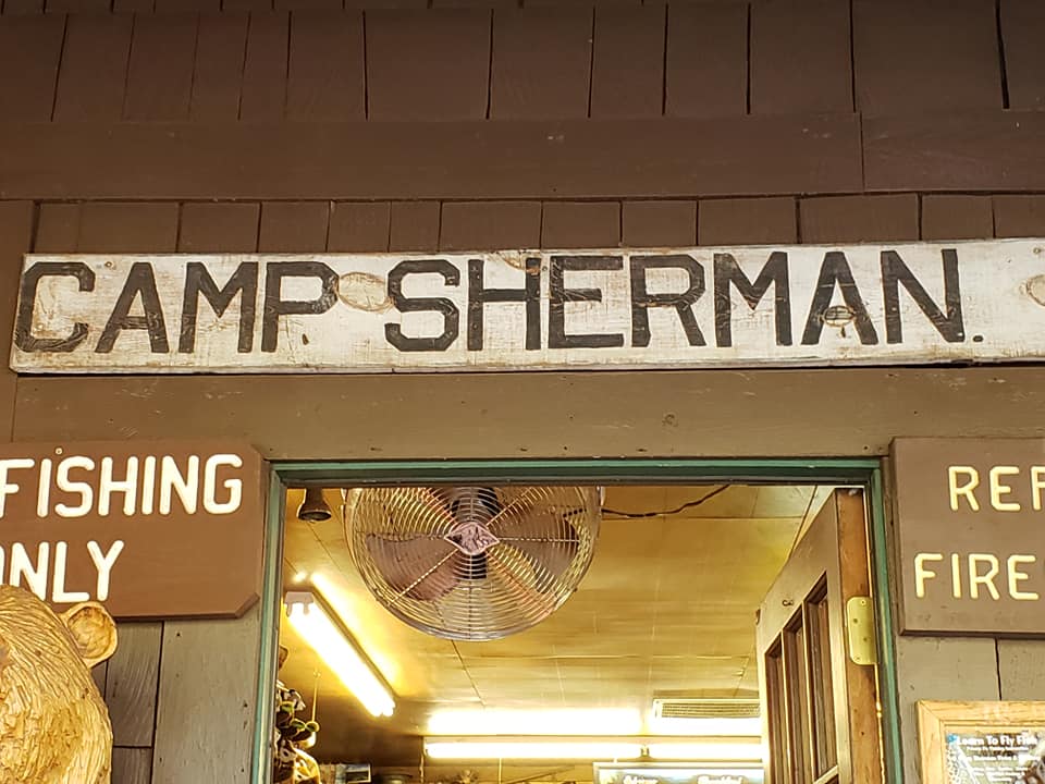

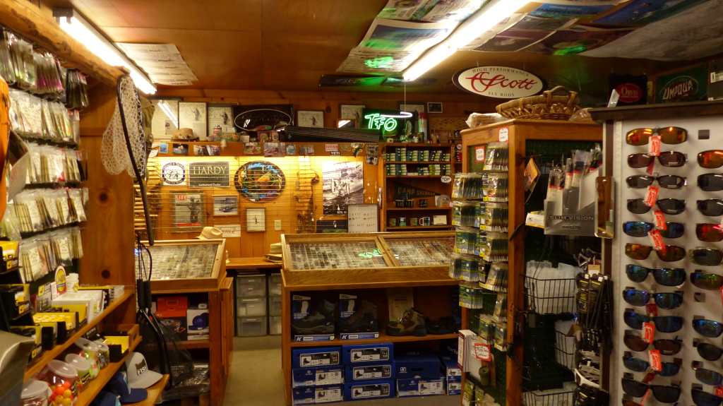
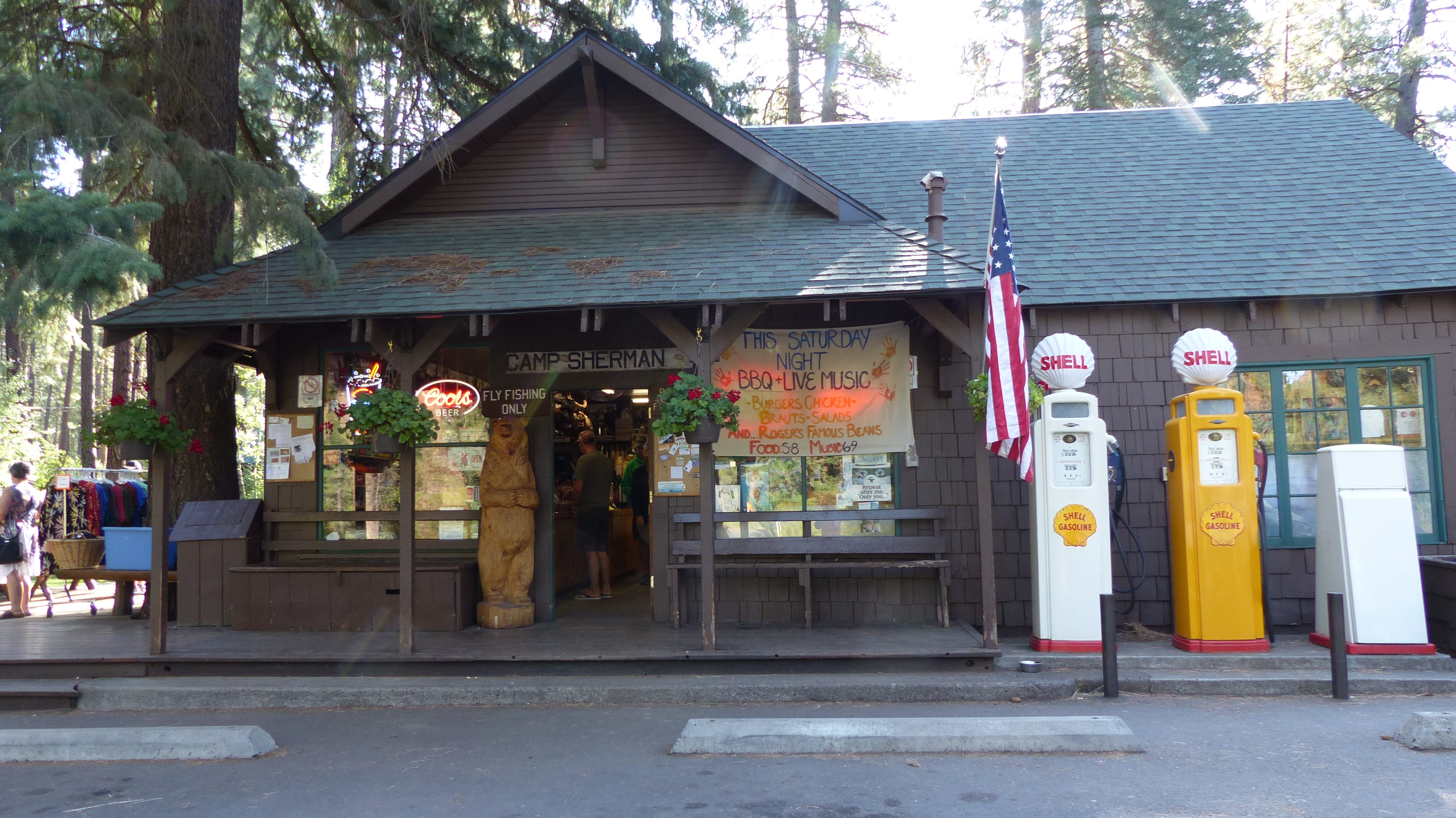
It’s a fisherman’s haven, however only fly fishing is allowed and much of the river is catch and release. The folks of the little Camp Sherman Store realize the importance of fishermen to the Camp as they devoted one entire section to fly fishing supplies. Coincidently, the tiny Post Office is attached to the tiny but well stocked store.

Five Miles downstream is the delightful Wizard Falls Fish Hatchery. The water supplying the hatchery does not come from the nearby Metolius but from the spring that fed Wizard Falls.


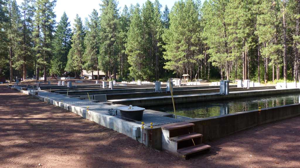


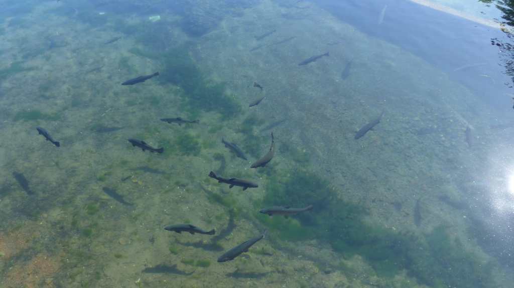
The water is just the right temperature and is pure- perfect for raising fish. Since our last visit several new ponds have been added indicating that they plan on raising more trout and salmon.
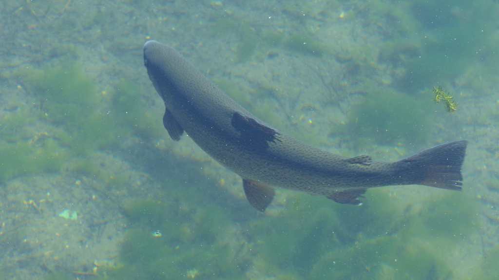
A large settling pond contains the largest fish. I understand that these fish were “escapees” from the rearing ponds at one time. The hatchery employees leave them be, but have added a few fish food machines for those who wish to feed them.
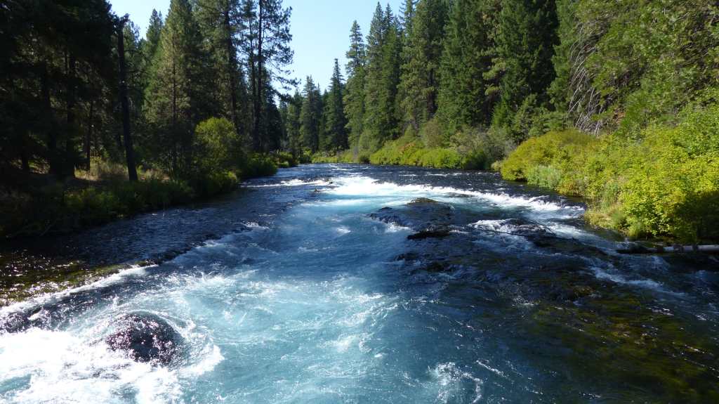
We visit the headwaters of the Metolius on our way back to camp. It’s almost unbelievable that this river originates from springs that magically appear at the edge of a hill. It’s not possible to get a good photo of the springs as lush growth obscures the view, but I gave it a whirl just to contrast the size of the river not 100 feet downstream.

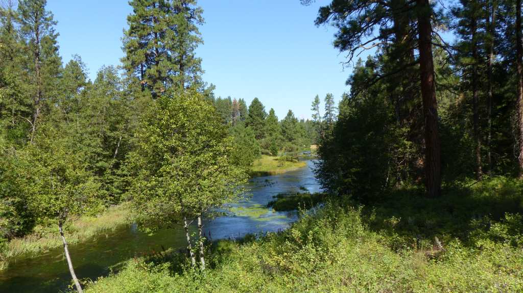
Top Photo: Headwater Spring; 100 Feet From Spring- The Metolius River
That concludes our visit to Bend. We enjoy this diverse area so I suspect we will visit again and again. We’ll be pushing on to the Bonneville Fish Hatchery tomorrow. See you there!