Wednesday, August 21, 2019
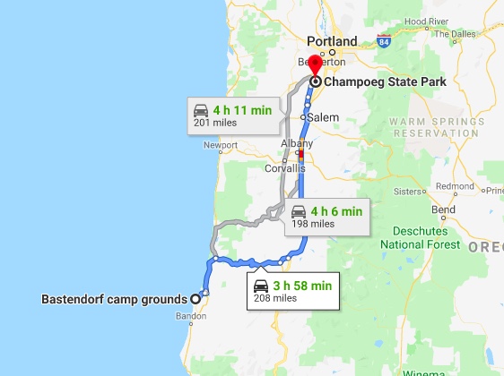
Planning our route from Bastendorff Camp Ground in Coos Bay to Champoeg State Park located a few miles off of I-5 and halfway between Salem and Portland appeared to be easy. We could go up the coast and go inland from Newport or Florence- or could we? I stumbled on to some information that indicated that the Suislaw Bridge in Florence and the Yaquina Bay Bridge in Newport have had 20,000 pound vehicle limits for several years now. To cross them with our motorhome we’d have to enlist flaggers to block traffic at each end of the bridge and drive slowly down the center. That was not going to happen. I read that Oregon 38 was a good route to take inland so that’s the way we went.
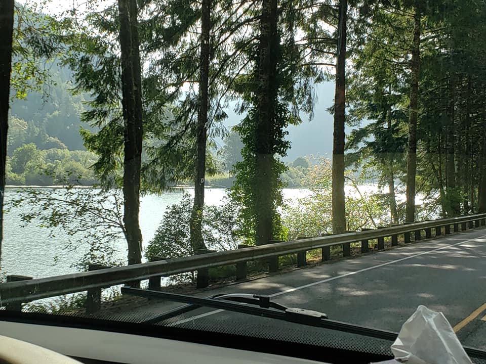
On our way out we bypass the chaotic downtown Coos Bay traffic in favor of taking a more direct route to US 101 through North Bend. We cross the Coos Bay Bridge and continue on to Reedsport (4100 souls) bypassing the Umpqua Light (been there, done that), and Winchester Bay.. Reedsport was developed when the railroad (circa 1912) was extended south to Coos Bay. The flood of 1964 caused the small mouth bass fish hatchery to lose hundreds of thousands of fish to the river. Bass are now the most common fish in the Umpqua. We turn east on Oregon 38. The 38 follows the Umpqua River for many miles so the road is pretty flat. It’s a nice relaxing and scenic drive.
Scottsburg’s (327 souls) importance came and went in the mid-1800’s. It was the location where stage coach travelers coming from Drain transitioned onto riverboats to continue their journey to the coast. It was a seaport located 20 miles from the ocean that serviced the interior of Southern Oregon. The town declined after the 1861 flood.

Downtown Elkton (pop. 195) looks like a good place to stretch our legs. The town was founded in 1850 by the Klamath Exploring Expedition near Fort Umpqua. The purpose of the Expedition was centered around discovering gold in Oregon Territory along the Klamath River as well as possible areas favorable for agriculture and commercial enterprises and the site of a harbor on the coast. After all, California was going through a gold driven boom so why not Oregon? Maps in those days were not always accurate. They sailed by schooner from Sausalito CA overshooting the Klamath, stopping at the Rogue River instead. The Rogue was unsuitable so they headed north, wound up in the more inviting Winchester Bay where they explored many miles along the Umpqua River. What they probably didn’t know was land suitable for a townsite in Winchester Bay was already owned by two fellas, so the Klamath Exploration Expedition bought those fellas out. And the area now known as Elkton was established by the Hudson Bay Company (Fort Umpqua) as well as other emigrants. They did establish the townsite of Elkton, however.

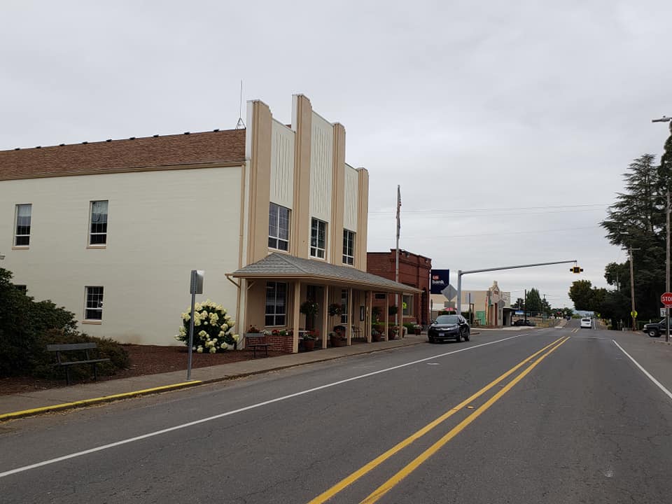
Elkton’s
The city park is right on the bank of the Umpqua and it includes a really nice RV park. It’s nickname is “Bass Capitol of Oregon”. I wonder if that flood in 1964 had anything to do with that motto………


One can tell when folks take pride in their community and the folks of Elkton show a lot of it. Downtown is small, inviting and neatly kept. The homes are well maintained with beautiful gardens. Wow!
The last town we come to on Oregon 38 is Drain (1151 souls), named for Charles Drain who donated 60 acres of land to the Oregon and California Railroad in 1871. Drain was the starting point for the Drain-Coos Bay stage line, established in 1876 which ran by road to Scottsburg then by river steamer to Gardiner. We turn onto northbound Oregon 99, then northbound I-5.
North of Salem we turn off onto country roads that take us through beautiful Willamette Valley farmland. Some farmers grow hops, others row crops, some alfalfa some nursery plants.


Ten miles more and we pull into Champoeg State Heritage Area. The heritage area has several historic buildings, the Historic Butteville Store (1863) that is still open for business, wide open fields, forests and wetlands- all on the bank of the mighty Willamette River. Interdispersed with all of that is a huge picnic area, frisbee golf course and a nice campground.
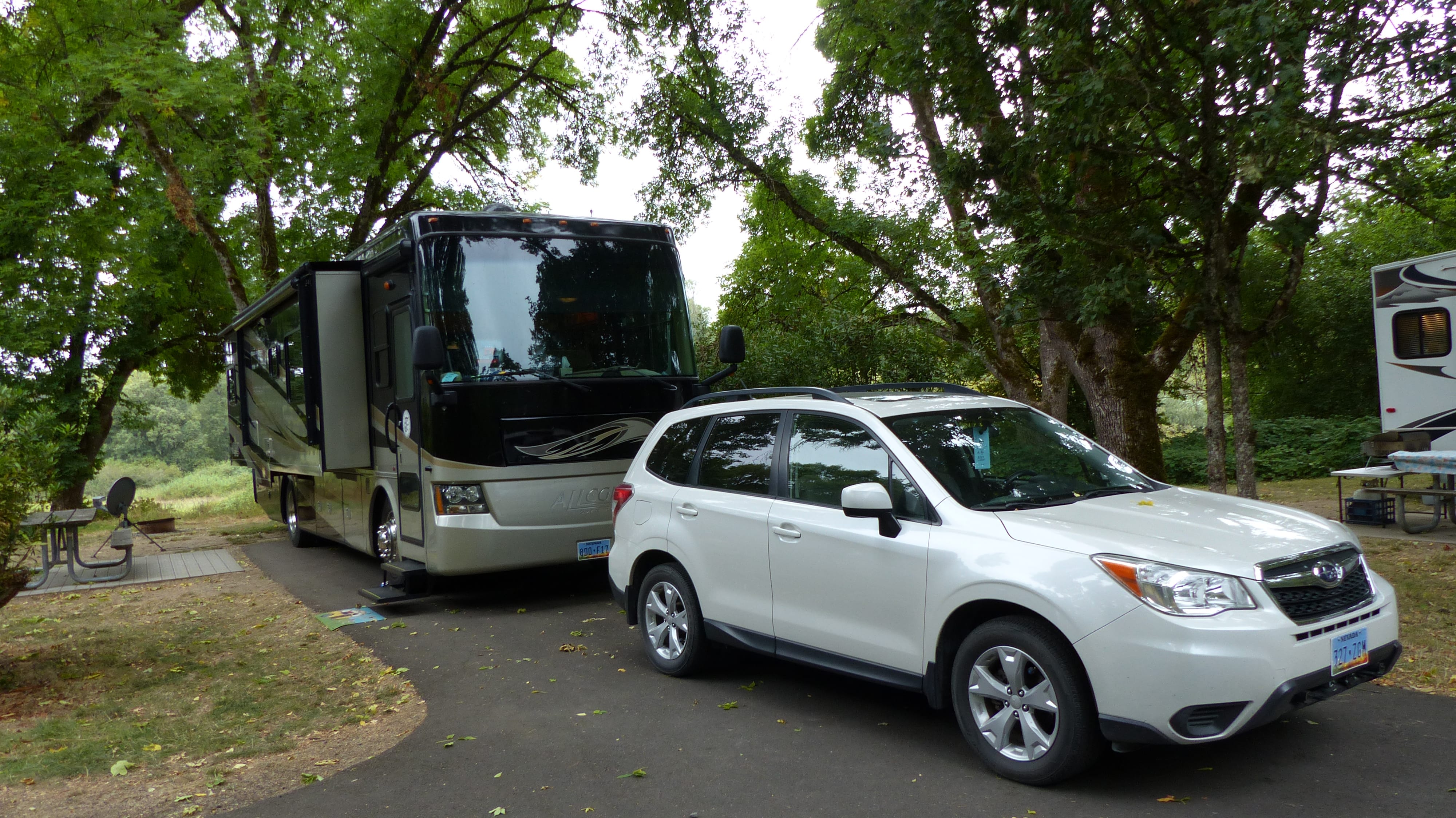
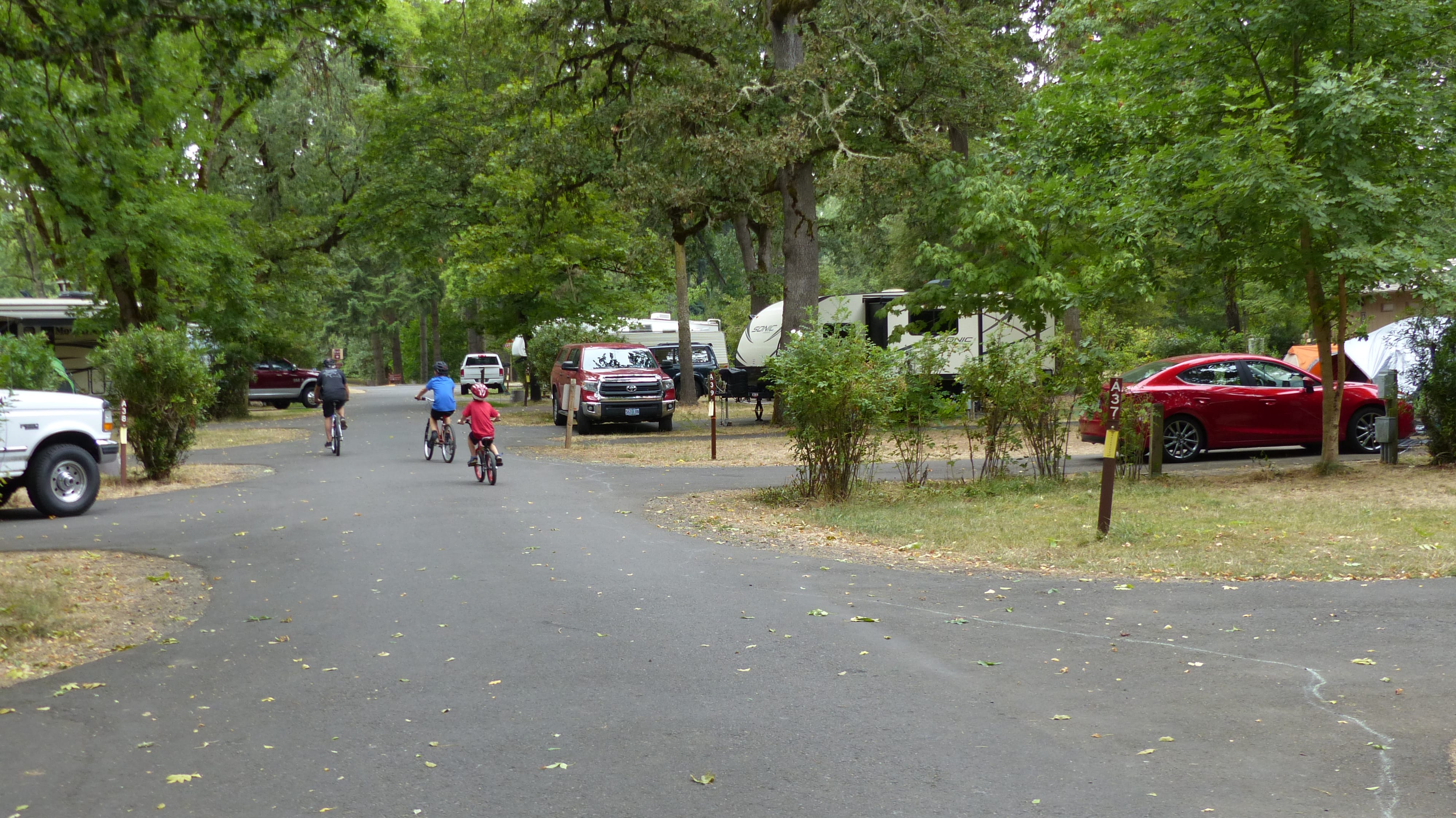


Although the park is a must see we were a little dismayed as to the condition of the campgrounds. The grass at each site was browned out. It didn’t appear that it was irrigated relying on rainfall alone. Obviously no rain has fallen for a while. Nice green grass is a plus in our book. The dump stations were out of order and it didn’t look like the park ranger was in any hurry to have it repaired. Maybe it’s not his call…… We survived.
The most disturbing thing to us was the two unsupervised 2 and maybe four year old children play dangerously close to and sometimes in the roadway. Those kids were all over the campground and mom was no where to be seen 99% of the time. Many of the neighbors did what the mom should have been doing- watching out for the kids safety………


While at the state park we had an opportunity to do some cruising. We shopped in nearby Newburg. (23,000 souls). We also visited St. Paul (431 souls). St. Paul is a farming community established in 1836. A church was built the same year out of logs. On January 6, 1839 Father Blanchet celebrated the first Catholic Mass in Oregon at St. Paul. St. Paul Roman Catholic Church was built in 1846 and is the oldest brick building in the Pacific Northwest. In St. Paul Cemetery lies William Cannon, the only authenticated Revolutionary War veteran buried in Oregon. Two members of the Lewis and Clark Expedition are purportedly buried there. Also of note is the St. Paul Rodeo, one of the 20 largest rodeos in the U.S. and voted by the Professional Rodeo Cowboys Association as the finest rodeo in the Pacific Northwest in 1991.
OK, back to Champoeg. The town was built on the bank of the Willamette River. It grew to be a sizable town. In the 1840’s the question of the disputed possession of Oregon Country between the U.S. and the U.K. began to loom large. A meeting was held at the town to determine if a provisional government should be established. The vote was 52 to 50 in favor. This is the site where Oregon’s first provisional government was formed by a historical vote in 1843. The town continued to grow after Oregon became a state in 1859. But in 1861 disaster struck when the Willamette River rose 55 feet flooding the town with seven feet of water, destroying most of the structures in town. The town was never rebuilt.
OK, ok, back to the title of this post. How do you pronounce Champoeg? Champoeg is not pronounced Sham-poge, nor Cham-pog. The correct pronunciation is Shampooie, like shampoo with a “y” or “ie” on the end.


Thanks for sharing your research.
LikeLike
Just doin’ my job, Ma’am. Hope you enjoy our blog!
LikeLike