Why is it called Loneliest Road in America?

October 16, 2024

Answer: Because it is…….. Two towns and a small city lie between the Nevada/Utah border and Fallon, NV to the west, a distance of 321 miles!

Ok, I almost forgot to finish our trip on this blog. Ya, I know. You’ve all been sitting patiently by your tablets, computers and phones awaiting the last blog post of this trip. So who am I to disappoint?

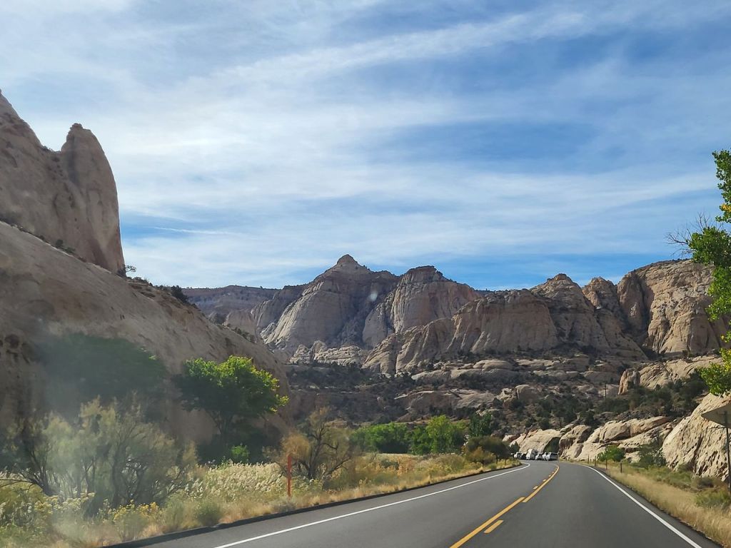
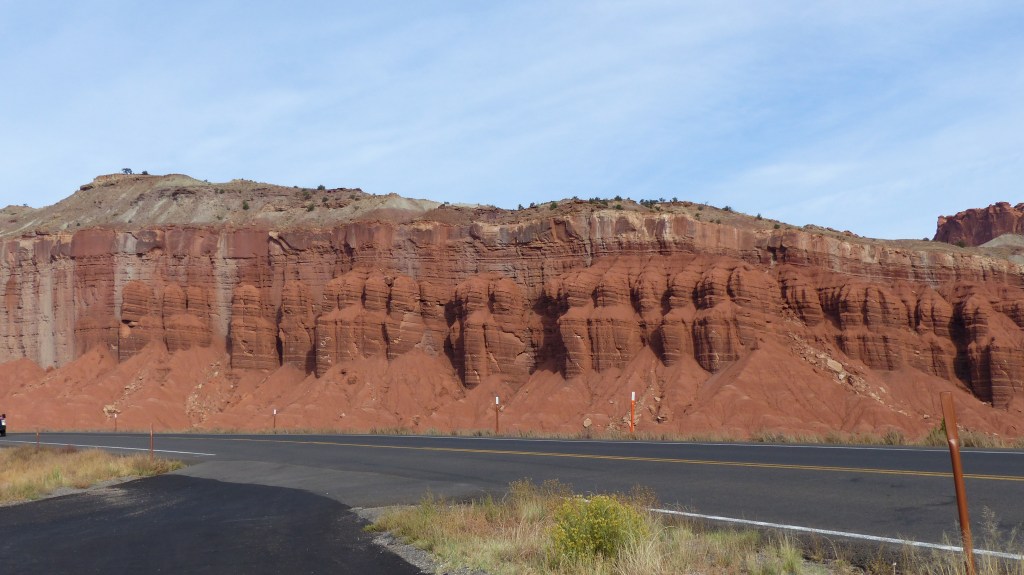
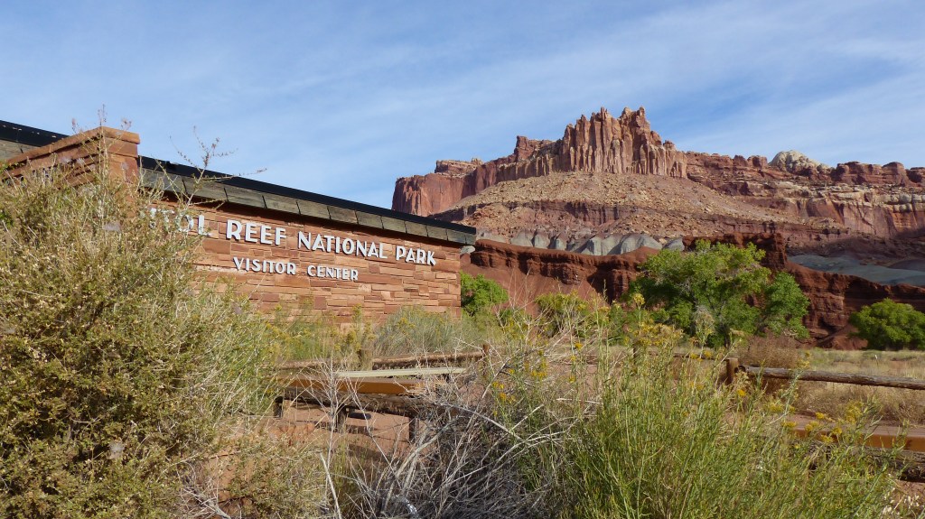
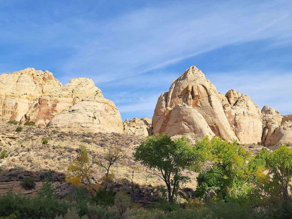
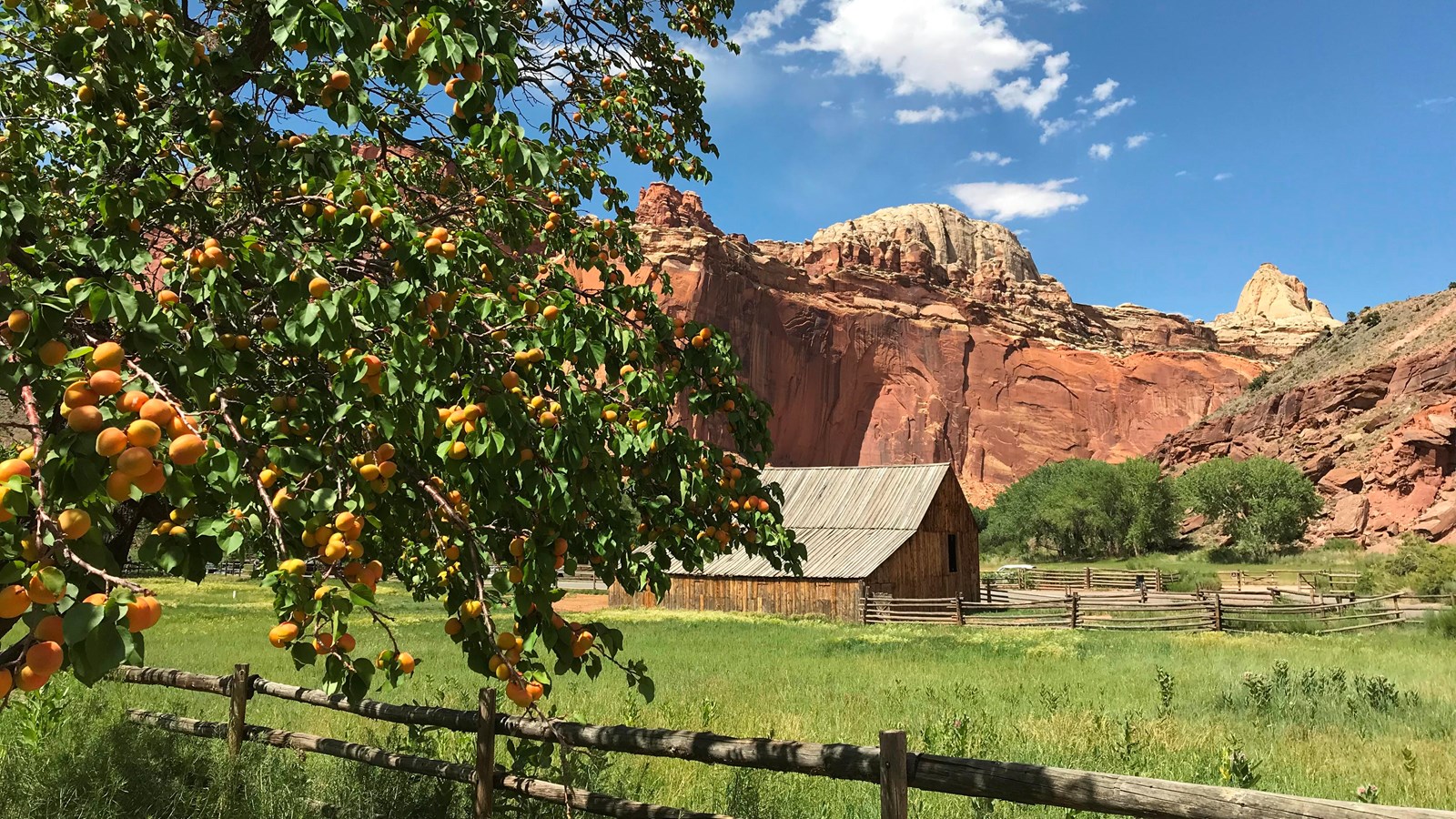
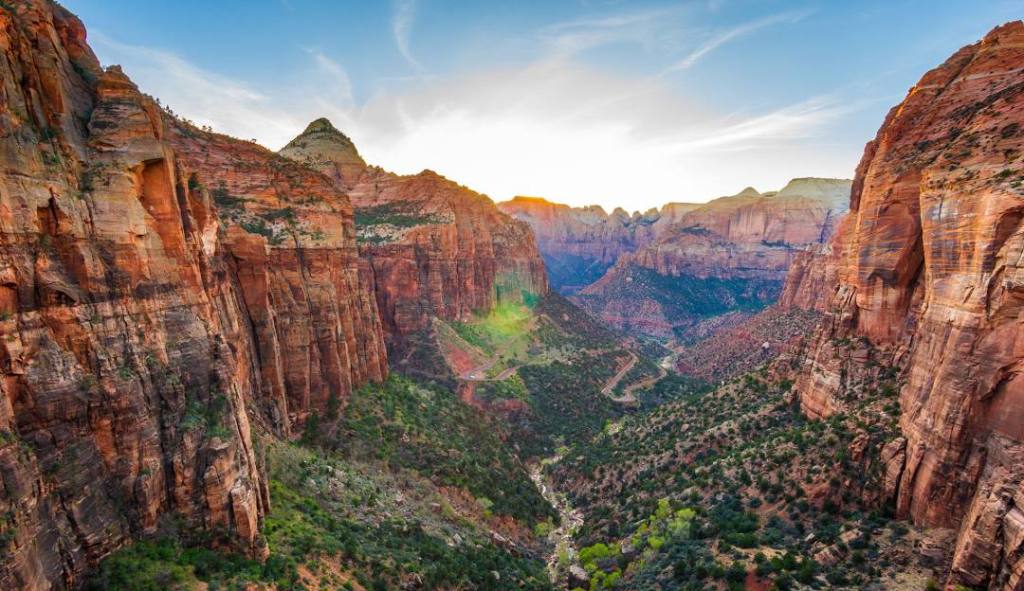
We cut our trip short by not going to Zion National Park. We met some folks who just came from there and said they couldn’t find a place to park at Zion even at 0600 hours! Gads, just what we wanted- a sea of people visiting what should be a serene and peaceful natural setting. So nope we’re not doing that- we deleted Zion. Maybe another time. We cancelled two RV park reservations which meant we left our deposits totallying $130 with them. However the Wonderland RV Park in Torrey was sad to see us go .They gave us a full refund with only a 12 hour cancellation notification. Nice folks they are.

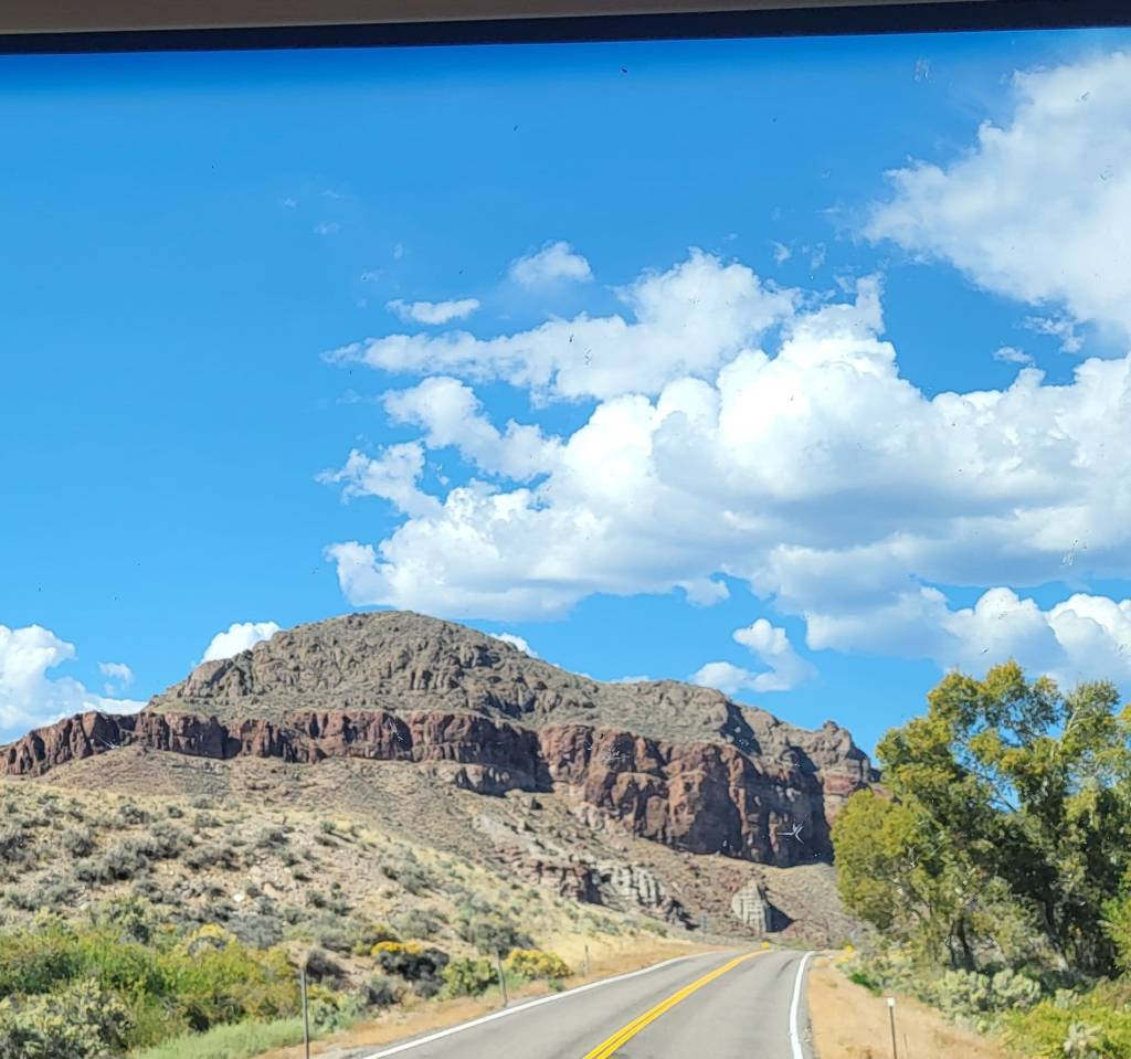
So off we go Sunday morning heading west northwest on UT 24. Within 20 minutes we come to two towns. Bicknell (337 souls) comes first. It’s claim to fame is it’s year ’round movie theater, home to the annual Bicknell Film Festival. Lyman is 5 miles up the road. Formally known as East Loa, this town has 258 souls living in it. Loa, pop. 572, is the metropolis in the valley. Loa was named by a Mormon missionary after his return from Mauna Loa Hawaii. The towns’ water source is two springs. These communities rely heavily on agriculture.

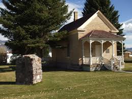
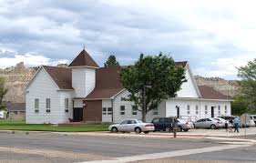
The building on the right is the historic tithing building of Loa

Tithing offices were a vital part of the economic and social life of early LDS communities. They served as a place to collect, store, and distribute tithes, which were often in the form of agricultural products. Tithing offices also served as general stores. 

A few miles west of Loa we reach the junction with State Highway 62. That ends the new-to-us route as from this junction to Scipio is 72 miles of back tracking on US50. We fuel up in Scipio choosing a regular fueling station rather than the truck stop across the highway which saves us 40 cents a gallon on diesel fuel. From Scipio we head south on Interstate 15 and once again connect with US 50.

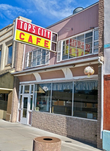
Greasy Spoon in Delta, UT

Heading west on US 50 brings lots of arid land. Even so there must be lots of private land owners as the highway zigs and zags when one would believe the road would be relatively straight in this flat land. We come to Delta. Well, lookie there! A large regional sports complex crops up just short of town. It has several ball diamonds, We can walk the mutzos on grass and not enter a sports field. It’s quite nice. We find out the Delta is Millard County Seat so also has another sports complex in addition to the fair grounds. 3622 souls live in this city that lies along side the Sevier River and is surrounded by farmland.

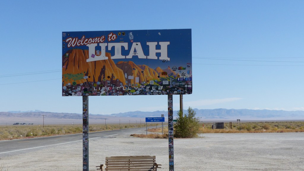
We pass the large dry Sevier lake which measures 25 miles by 7 miles. In 2011 local dams began dumping water due to heavy precipitation, the water running into Sevier Lake. Water level rose to 3′ and did not freeze in winter due to its salt content being 2.5 times higher than the ocean.The last time this happened was in 1984.We leave the flat desert and start the first of many climbs. We aren’t too far from the border and what one usually finds at a Nevada border crossing.

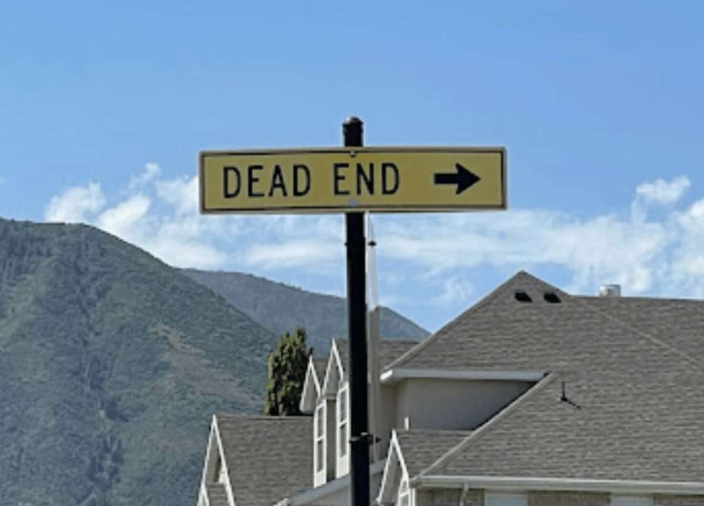
These Signs Are About 100′ Apart And Face Opposite Directions Naturally!

The Border Inn Casino encompasses a casino and bar, a motel, a restaurant, a gas station and an RV park. Did you know that Nevada has more mountain ranges than any other state at 150 mostly running north and south as part of the Great Basin complex. At least 30 of the mountains in Nevada reach a height of 11,000 feet. That should burst the bubble of those who think of Nevada as a flat desert wasteland.

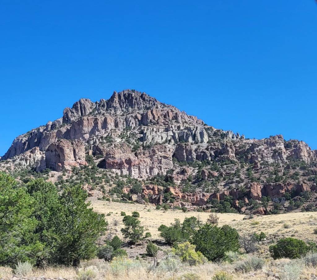
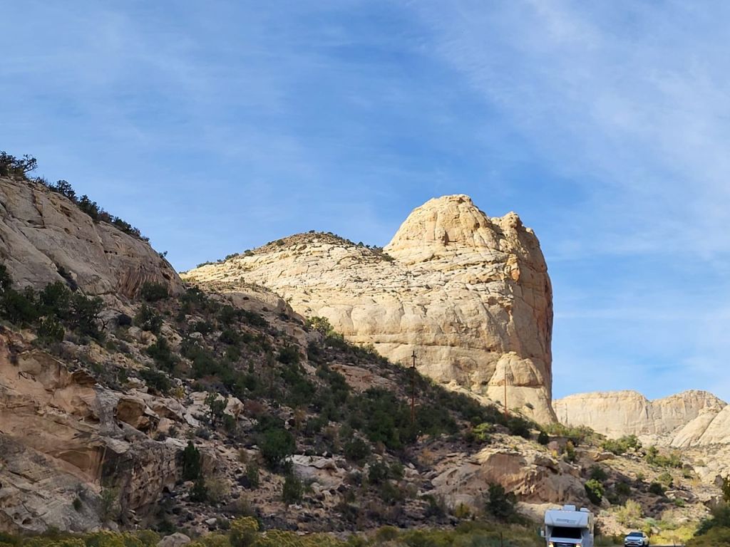
We pass by Baker NV as its on another highway. US 50 in these parts is also labeled Nevada 6. We pass the turnoff to Great Basin National Park and its campgrounds, the scenic drive up Wheeler Peak (elevation 13,065) and its jewel Lehman Caves.

Historic District, Ely

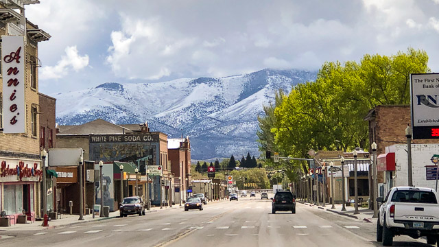
We are spending the next two nights in Ely, the largest city and the seat of White Pine County, as the tailpipe that I put a temporary fix is in need of a better fix as it now drags on the ground as we pulled into camp. Ely (3957 souls) has a couple of hardware stores that will be open tomorrow (Monday) so parts to rehang the tailpipe more substantially are available.

We toured Ely a little. The town is home to the Nevada Northern Railway Museum https://nnry.com, not only a museum but also offers train rides on vintage trains. Originally Ely was a stage coach station then a mining boom in copper came along at which time Ely was connected to Eureka and Austin by rail. The railroad exists today in Ely as a heritage railroad. Gold extracted from copper mine tailings kept the town alive in the 1980’s and 90’s. The city is at the crossroads of two major highways, US 50 that runs east and west and US 93 which runs north and south. At 6300′ elevation Ely’s climate is one of the coldest places in the US. It has a growing season of only 79 days.

Eureka Nevada

Opera House (on right) and hotel in Eureka

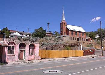
On Tuesday with the tailpipe more firmly secured we are off. We’ve decided to try for home, a 330 something mile drive mostly on a two lane road that climbs over several mountain ranges. Not sure if we can make it but we’ll give ‘er a go. The first town we come to is Eureka was first settled in 1864 and with 440 souls making it the second largest community in Eureka County. The town boasts Raines Market and Wildlife Museum, the Jackson House Hotel and the Eureka Sentinel Museum.

US 50 Snaking Down the Hill into Austin- Left Center

St. Augustine’s Catholic Church circa 1866, Austin NV

We are getting deep into the loneliest road portion of the Lincoln Highway, US50. Eureka is 77 miles from Ely and Austin is 69 miles from Eureka. From Eureka its 122 miles to Fallon. US 50 comes down to Austin from Austin Summit (7484 elevation) as a steep, narrow, windy road- not a good place to lose your brakes. Austin is the previous seat of Lander county, supporting 167 souls. Silver was discovered there in the early 1860’s when a pony express horse kicked over a rock which had silver under it. Austin grew to 10,000 souls during the boom which lasted until 1887. Gold and silver as still mined at low levels of production. High quality turquoise is still mined in the area.

Stokes Castle was built in the 1890’s and only lived in one month by the Stokes famliy before is was sold. The town of Austin appears to be depressed with several vacant storefronts.

About 50 miles west of Austin in Cold Springs Station Resort. The place has a restaurant that’s open seasonally. Nine times a year it has a fish fry. The resort also has a highly regarded rv park. The only problem I see with the place is signage. Ya can see the joint from a distance but the driveways sneak up on ya till it’s too late to turn into them.

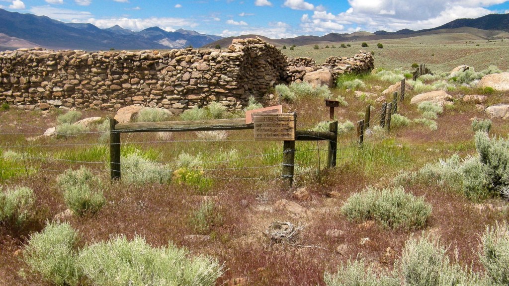
Cold Springs Pony Express Station Ruins

The Lincoln Highway, aka US 50, follows the old Pony Express Route so there are many pony express station ruins along the route- even a transcontinental telegraph ruin! Some of their locations are well marked, others not so much. If you see a chain link fence with no obvious reason for a fence to be there it’s probably a pony express ruin. The Pony Express covered 1800 miles from St. Joseph MO to Sacramento CA, mail being delivered in 10 days. The Pony Express operated for 1.5 years from 1860 to 1861 when it was replaced by the transcontinental telegraph.

We continued west on US 50 reaching Sand Springs and what appears to be salt flats running parallel to Sand Mountain, a giant dune fabricated by prevailing southwest winds. From there we cruise into Fallon (9300 souls), the seat of Churchill County. This is the largest town we’ve come to since entering Nevada. Fallon is home to Navy Fighter Weapons School, more popularly known as Top Gun. The Lincoln Highway, US 50portion of the Loneliest Road in America ends here. It encompasses 2 small towns and a small city in a 351 mile stretch of highway.

US 50 takes a dog leg left in Fallon and heads to our state capitol in Carson City so we’ll continue on US 93 to Fernley (22,890 souls) where we’ll jump on Interstate 80 for the last 71 miles home. Fernley is primarily a farming and ranching community yet has had a marked increase of manufacturing, high tech and warehousing companies moving in the nearby area.

We know we are getting close to home when we reach a narrow canyon that the Truckee River shares with I-80 and the small communities of Patrick and Lockwood as well as the nearby Tahoe Reno Industrial Center, home of Tesla lithium battery factory amongst others. We pop out of the canyon into the flats of first Sparks, then Reno. These two towns have grown together and have a combined population of around 500,000 souls. We live in Northwest Reno so we still have a 12 mile ride until we reach home. And then- Ahhhhh, home.

We basically strip the RV of most clothing, toiletries, and all food as it will be subject to freezing weather. All tools are once again hauled into the garage. The fresh water system is winterized, mouse traps are set, bug spray is applied around the windows and door to eliminate those pesty stink bugs. Everything done we take the Allegro Red to her resting place for the winter.

Like all trips things happen and this one was no exception. Some were preventable, some were not. We’ll work in the preventable ones so that they won’t reoccur. Even with those aw shucks moments we did have a wonderful trip. We will not give up on visiting Zion NP in the future as it’s one of our favorites places to visit. So with that said I wish you all Godspeed, Via con Dios and Safe Travels my friends!

Aw, shucks Mom and Dad, just when Buster and I were having so much fun traveling we are home!

Visiting Another National Park

Friday, October 11, 2024

There’s two ways we can get to our next destination. One will be new and the other is a repeat of of our travel to Ruby’s Inn. Neither has an advantage mileage wise so that’s not a factor. We chose the new route, Utah Highway 12. It will take us to new places on our way to Torrey, Utah. A bonus is the highway is a designated Scenic Byway.

We head east on the highway passing the turnoff to Kodachrome State Park. We had visited the park in the past so we kept on truckin’. We come to Tropic (486 souls), then Cannonville (186 souls), named for George Cannon, a Mormon official. These towns are located in the Paria River Valley. And then comes Henrieville (221 souls). These are primarily farming towns but appear to be sharing in the popularity of Bryce Canyon offering motel accommodations and restaurants for those visitors.

We are traveling through a portion of the Grand Staircase Escalante National Monument. The monument spans 1.87 million acres, encompassing five life zones from low lying desert to coniferous forests The is home to the Ancestral Puebloan and Fremont people who were experts at farming this rugged land. Their descendants include the Hopi , Ute, Zuni and Navajo tribes have strong ties to this land. The Monument’s size, resources and remote character provide extraordinary opportunities for geologists, paleontologists, arecheologists, historinians and biologists as well as quiet recreation for those just looking to enjoy nature.

Boulder Utah touts itself to be Utah’s Gateway to Quiet Recreation, whatever that is. The town sports 241 souls and lies at 6700 feet of elevation. We explore the Anasazi State Park Museum. Unfortunately the exhibit section is closed due to a remodel but the archeological site out back is open. This village was most likely occupied from A.D. 1050 to 1200 and is one of the largest communities west of the Colorado River. A life sized six room replica of an ancient dwelling shows what the ruin looked like when it was inhabited.

We continue on reaching Boulder Mountain Pass at 9606 feet in elevation- nose bleed country! We continue on, it’s all downhill from here! We travel down at least three 8% grades- 2% steeper than interstates. Our exhaust brake is up to the challenge as I only have to stab brake occasionally to keep our speed in check. The quaking Aspen at this altitude has mostly dropped all of their leaves.

We come to Torrey, still tiny at 251 souls. The town has an amazing amount of sleeping facilities and restaurant for its size. We pull into the Wonderland RV Park where we’ll stay for a few days while we explore Capitol Reef National Park. This park comes highly recommended by other travelers. It’s good for our doggos as they are free to roam in an enclosed area and walk on leash in larger turf area. We like this park for its accommodations and the wonderful attitude of its work campers.

We tootle on over to Capitol Reef National Park, about 9 miles to the east. Those Utah red bluffs are really beautiful. Utah 24 drops into a canyon where the visitors center is located. Work is being done here apparently to enlarge the parking lot. Parking is extremely limited and the center is busy! The scenic loop is also closed past the campground so that’s about as far as we’ll go on the loop. But we still have access to Giffords Homestead and the luscious pies and preserves that are sold there.

The history here is self evident with petroglyphs left by the ancients who dwelled here long ago to explorers and Mormon settlers who came here in the late 1800’s planting orchards of apples, pears, and peaches. The first resident may have been an 1879 squatter by the name of Franklin Young, but the first landholder of record was Nels Johnson. Others soon followed, and the community that sprang up became known as Junction. Mail was delivered to a central Fremont Cottonwood tree, known as the “Mail Tree,” which still stands in the picnic area today. The orchards still exist in the Fruita Rural Historic District and are harvested for their fruit. The population never exceeded 10 families.

Capitol Reef Orchards (U.S. National Park Service)

The next day we drove all the way through the park and then some before we realized we’d gone way out of bounds. The petroglyph parking lot was packed, the Grand Wash area had about a bizillion vehicles parked along the highway. Even this relatively remote and less popular National Park is just jammed with visitors.

Zion National Park

Speaking of jammed a fellow traveler had just come from Zion National Park- our next destination. She said that they couldn’t find a place to park at 0600 hours! So we changed our plan to visit Zion, cancelling stays at two RV parks. We even shortened our stay here at Wonderland RV Park by a day. I included a photo of Zion NP from the internet as a reminder of just how beautiful that place is.

As I walked behind the motorhome I noticed the tailpipe is hanging at a funny angle. I poke it with my foot and it swings almost freely. It should be very solid feeling. Gads….. I slide under a take a look- the tailpipes is rusted clean through at the muffler. I don’t have anything but electrical wire to secure it and tomorrow is Sunday- good luck finding a hardware store open in nearby Loa or Bicknell. So I strip all the insulation off the wire so it won’t smoke when it gets hot, wrap it around the exhaust and hang on the bottom of the rear compartment using a screw and fender washer. I think that will last until we reach our next destination.

That’s pretty much a wrap fro Torrey and Capitol Reef National Park. See you down the road!

Most Likely The Most Stunning Views In America

Friday, October 11, 2024

I’m sure some of you have figured out our destination especially with the town of Panguich clue. And now the rest of you can see oue destination on the above map.

Red Canyon on the way to Bryce Canyon NP

Tunnel on Utah Highway 12 between Panguich and Bryce Canyon.

Bryce Canyon National Park has some of the most stunning scenery on earth. The tall red spires contrast with white caps and the green forest on the canyon floor- wow, just wow!

To get to Bryce Canyon National Park one must drive through Bryce Canyon City. This link tells the amazing story of Ruby’s Inn and the wise Reuben and Minnie Syrett- https://nationalparkexpress.com/unique-story-of-rubys-inn-at-bryce-canyon/. The “city” was formally known as Ruby’s Inn before it got so big. The whole place is tourist oriented- at least the general store offers some groceries. Sleeping accommodations can be had at the Inn, Best Western Bryce Canyon Grand Hotel. During high season one can go horseback. A rodeo every night, mountain bike rentals, ATV tours, helicopter tours and a musical dinner show at Ebenezers Barn and Grill starring the Bryce Canyon Singers. It even has a full service auto repair shop and fueling station.

The Bryce Canyon Singers put on a good show at Ebenezer’s

We stayed at Ruby’s very large RV Park choosing an end site in their newer section.The sites are huge in this part of the park and we could walk our mutzos in native vegetation away from other dogs. The park is only 3 miles from Bryce Canyon NP entrance station so we pack up the mutzos and head to the park. We were here shortly after 911 some 23 years ago. My how thngs have changed! There’s three entrance booths of which two are open. It’s 0900 hours and we are about 6 cars back in the line to pay. Never have I seen a line to get into Bryce Canyon NP!

Views from Sunrise and Sunset Points

The first two places we visit are Sunset and Sunrise Points. The parking areas are packed but we find a spot in each one and walk to the rim. Wow, the view is just drop dead gorgeous!. Brilliant red spires and rows of parallel rock formations appear to be stacked close to one another. In reality these formations are all due to erosion. One could stay here all day long and just watch the mood of the canyon change as the sun traverses the sky.

We decided that we would see more the next day and let the thundering herd subside somewhat if that’s possible. So the next day we head up the road a ways farther in the hopes that Sunrise and Sunset Points are much busier due to their nearness to the entrance. Hey, we were right. Bryce Point, in our opinion is the premiere location to view Bryce Canyon. The view is a panorama of cliffs, hoodoos, spires, closely stacked ridges their reds contrasting with the green conifor forest at their feet. So beautiful.

Natural Bridge area

Jil and I notice that what seems the majority of people here are from foreign countries. Many take advantage of the Bryce shuttle buses and come in groups. And then there are the tour buses. These folks must get package deals back home and then they all come together. I don’t have a problem with visitors coming to visit the natural wonders of our country but they do contribute to the crowds.

We do a little snooping in Ruby’s general store and restaurant, trying to hunt down an ice cream cone. Not at this store but the one across the street in what’s called “Old Town” which looks buildings from the old west. We had to wait a day for our “cream” as the store opens on Thursday. The ice cream was good, by the way.

We are going to Capitol Reef National Park from here. It’s about 130 miles to Torrey where we’ll be staying at Wonderland RV Park. The National Park is about 9 miles east of Torrey. So until we meet again, Adios amigos!

And Off We Go!- But Again, Not The Route We Planned-GADS!

Thursday, October 10, 2024

This is a bonafide rant! Before I say anything else I must warn you of the route to Gladstan RV Park. Getting off I-15 and onto surface streets is pretty straight forward. Gladstan Golf Course and its RV park are up in the hills east of downtown Payson (21,101 souls). So following a few surface streets is no biggie. Then we hit the hills. We make a very sharp left onto Goosenest Drive. Goosenest is a narrow country lane splitting several tree orchards before it winds into a large housing tract with 3500-4500 square foot homes.

This sign is supposed to say Olympic Lane so turn right here!

We follow directions and take the first turn out of the round about (yes, a round about). Both of our GPS’s give up the ghost now so we wind up at the clubhouse (not recommended at the parking lot is not big rig friendly but is the only place to turn around). We call and the fella says go back down the hill, turn left at the first street past the LDS temple, then turn left at the street between houses.

The tiny direction sign pointing us towards Gladstan RV Park- sheesh!

OK, we made it. We were supposed to turn right on Olympic Lane. The street sign post for Olympic Lane does not have that name it has a “Dead End” sign in it’s place. At the driveway into the RV park is a 4″x 6″ sign mounted on the post for Sunbrooke Drive, the entrance to the RV Park. Now how in the heck can you find Olympic Lane since there is not street sign and you are supposed to read the camping sign from across the street while driving an RV. Humph!

The park was great for the mutzos. Not too many other dogs and lots of grass to walk on as long as they are not on the fairways.

The route we took

The route we should have taken is mostly on Interstate 15 and much less stressful

OK, enough of that. After a pleasant two night stay at the Gladstan RV Park we head back to I-15 heading south to Scipio where we pick up US 50 where we will join US 89. Ok, I’ll tell you right now that the GPS got us again. We should have taken I-15 to exit 95 and taken Utah20 to Panguich but a photo on Google Maps was transposted with the turnoff at Scipio leading us to believe that the Scipio exit to US 50 was the correct exit. I assure you, US50 to US89 is not the best way to travel to Panguich Utah especially when one can’t find US89!

It seems as if we had gone too far east to join US89, the highway we are to travel to Panguich. Due to the road configuration the GPS was correct but I wouldn’t believe it when it told me to go west on I-70 for many miles. So I-70 and US 89 are actually one for several miles bur is only marked as I-70. We jump on I-70 and I tell Jil that this route doesn’t seem right (turns out it is- maybe) so her GPS says get off on Utah Highway 24, so we do. Within ten miles her GPS is giving us weird directions. We relent, the GPS takes takes us back to Utah-24. Hmm. How did we get off of Utah 24?

Town of Koosheram in the Koosharem Valley

So we take this narrow highway south seemingly to nowhere as there are no towns and very few farm houses as we follow a narrow valley south. After quite some time we take a right onto Utah 62 which is even narrower. I keep questioning the GPS directions but abide by them. At this point what choice do I have? The only town, er, village we cross is Koosheram, it’s name originating from the Piute Indians. It’s named for the deep red clover that grows in the lush meadows of the Koosharem Valley. The population of this metropolus is 276 souls………..

Kingston Canyon

We finally come to a T intersection. Jil says we can go either left or right but right gets up back to safety and US 89 so we turn right onto Utah 22 and immediately are met with a “Flooded” warning sign. Cars are coming from that area so we a pretty confident the warning has past its prime. We head down the narrow and scenic Kingston Canyon which opens up before the farming community of Kingston which is even smaller than Koosheram at 136 souls. We reach US89 and turn south.

We travel through Circleville (547 souls) which derives its name from the circular shaped valley that it is in. This place is of great sadness. Back in 1866 a small band of Paiutes were camping in the valley, trying to be friendly with the Mormon pioneers who had settled there. The Mormons were led astray by a letter which said the Indians planned to attack. The Mormons rounded the Paiutes up and as they did a young Piute warrior fired a shot which precipitated the massacred 24 of 27 people. Three children escaped. One died, now one knows what happened to the second, the third boy was captured, sold for a horse and grain, but eventually adopted by the family who purchased him.

We pass a few RV parks before arriving at Panguich (1725 souls). Panguich is the seat of Garfield County. It gets its name from the Paiute, meaning “Big Fish” as there are many nearby lakes which have plentiful rainbow trout.

Well since we are here, why don’t we visit Ruby (Reuben) and Minnie Stretts place- Ruby’s Inn? Lets go!

Two Nights at Wallowa Lake SP and then We Skedaddle

Tuesday, October 8, 2024

Wallowa Lake is 3.4 miles long and not as wide. I sits in a hollow backed by beautiful mountain peaks. The scene of the lake and peaks is beautiful. The State Park lies at the southernmost end of the lake with those peaks at its back. Ther park is well laid out with acres of open areas beneath the pines with picnic areas integrated in those areas. There is a stream where Kokanee salmon spawn. A marina rounds out the park where a large parking lot is provided for all those spring and summer fishermen. We particularly enjoyed the large open areas as we could walk Buster and not worry about him reacting to other dogs. I’m not sure we’d ever come back to Wallowa Lake again but it was sure worth the side trip to visit the lake and parts Wallowa County Oregon.

Wallowa Lake Looking South Towards The State Park

The unfortunate part about visiting Wallowa Lake is we have to go out the way we came in. But that’s OK as everything looks a little different going the opposite direction on the same road. And it doesn’t seem to take as long to travel the same distance. Weird

Scenery around Wallowa Lake State Park including Kokanee Salmon stream

Old Chief Joseph’s Grave Overlooks Wallowa Lake

We are traveling about 200 miles a day for 3 straight day until we take a 2 day break Our cohorts at the hatchery winter in Benson AZ. They are traveling 450 miles a day towing a 5th wheel. We are both to0 old for that silliness.

Our stop for October 4th is the Country Corners RV Park located just outside of Caldwell, Idaho (66,000 souls) in an area they call Sand Hollow. The park is nice, sites not too close to one another with grass in between sites and lots of grass and trees on the west side reminiscent of a park. The park is far enough off of the interstate to be pretty quiet. There are tomatoes and cucumbers in a box outside which are grown by the lady in charge. She offers them for free. We like this park.

On October 5th we again head east on I-84. We make pretty good time traveling another 200 or so miles to Heyburn Riverside RV Park. When I called to make a reservation the lady said no more reservations taken after October 1. She said the park wouldn’t be full. We arrive only to find the adjacent city park full of families, a fire engine, an amblam, a helocopeter, a USAR squad! Aaaand a bunch of food vendors! Nobody mentioned all this to us! Unbelievably the crowd wasn’t noisy at all and everyone appeared to be enjoying themselves watching demonstrations by all the emergecy folk and eating good food and enjoying to park atmosphere. We even went over and got ourselves a couple of burritos from one on the vendors. They were outstanding. The RV Park is nice but all the parking sites are curbed. I found it hard to stand on the curb and try open compartment doors as it was awkward.

On Sunday October 6 we headed to OOtah, er, Utah, transitioning from I-84 to I-15 south. Traffic wasn’t horrible but way more than we’ve encountered since transitioning through Gresham OR on August 1st. It seems like all the towns and cities have grown into one another especially around Salt Lake City. The traffic is very reminiscent of the greater Los Angeles area. Maybe not that bad as traffic kept moving mostly at freeway speeds. We pass SLC, the State Capital building in site and maybe even the steeple of the beautiful LDS Salt Lake Temple. We get through the maze of lane changes and closures more or less unscathed. We continue on without hardly a break in humanity until we reach Payson, our turn off.

We are camping at Gladstan RV Park, a city owned RV park in the middle of Payson City owned Gladstan Golf Course. The fairways actually surround the park on three sides. It’s fun watching the golfer play the game. We’ll be here for a couple of days, a respite from back to back to back days of travel.

Until next time- Via con Dios

Heading to Parts Unknown

Tuesday October 1, 2024

The title is really not accurate but I thought it sounded good for a travel blog. It should say Heading To Parts Known But Not Yet Explored but I like the other title better.

The Boys Are Not Happy On Travel Days

We picked up what was left to be stowed in the motorhome, hooked up the Subaru, then took the dogs for a walk. I had picked up the water hose and sewer hose last night so only had the power cord to store. We returned from out walk and piled into the RV and made our way out of the hatchery. We had a good time and felt that we had done a good job of performing our duties as hosts. Mike and Sue also left this morning but much earlier than we.

We jump on I-84 eastbound and drive about five miles. A trucker pulls up next to us but I can’t understand his concern. He continues on. Another trucker pulls up beside us and honks his horn. I look over and the trucker is pointing down. Uh Oh! We pull over in a large truck parking area. I get out and walk to the back seeing nothing out of the ordinary. As I begin to walk up the drivers side I see the problem. Some dummy did not stow the power cord and had drug it for 5 miles! The end was pretty beat up so I’ll have to find a new male plug, cut the cord back to an unaffected area and mate a new plug to it. Now to find a plug.

The Dalles (15,922 souls) is the largest city besides Portland that is located on the Columbia River. Some store there is going to have the 50 amp male plug We inquire by phone at one place. Nope! Stop at another in The Dalles. Nope! Boy, things aren’t looking good. Jil says “Hey, there’s an Ace Hardware store”. I goes in and there on the wall in the RV section is the plug I need which is selling at 3 times more than it should. Wahoo! We continue on, stopping at a great municipal park on the Columbia in Boardman to stretch, then continue eastward on I-84. We’ll be spending the night at Emigrant Springs State Park, then continuing on to Wallowa Lake State Park, our first parts unknown, Wallowa Lake State Park. I’ll repair the power cord there.

Emigrant Springs is in pine country about 3800 feet in elevation. The campground is nicely shaded but the road and RV pads could be in better condition. I go out and figure mating 4 wire conductors to the new plug will take about 20 minutes. Well folks, due to a very poor design of the new male plug it takes me 3 times longer. Gads! Well at least we’ll have power again. I did have to cut off 9′ of shore cord due to extreme road rash.

Near the summit of the Blue Mountains, Emigrant Springs State Heritage Area preserves a site where first nation folks found the aprings a valuable source of clean water. The first fur trappers arrived in 1812, then other folks including emigrants on the Oregon Trail, have replenished water supplies since time immemorial. Now visitors find a refreshing place to camp in a mature forest between Pendleton and La Grande. The Heritage area sports a small campground with hookups, a horse camp, rentable cabins. Nearby Deadman’s Summit Rest Area has visible wagon tracks from the emigration era.

On Wednesday, October 2nd we head off to our “unknown” location. We head east on I-84 towards La Grande. The city is the largest in Union County with 13,842 souls and the Metro area is 16th largest metropolitan are is Oregon at 25,076. La Grande lies in the Grande Ronde Vallely- the only true valley in Oregon as it is surrounded by mountains.

We bypass La Grande in order to travel on Oregon Highway 82 towards our unknown to us destination. We pass through farmland passing through Imbler (306 souls). Don’t blink or you’ll miss it! Then comes Elgin (1711 souls). The town is famous for its Opera House and City Hall both in the same building.

Elgin Opera House and City Hall

From Elgin Oregon Route 82 leaves the valley and heads into the Wallowa Mountains. The road is good but it twists and turns, drops into a large deep canyon, then follows the Wallowa River. We come to the Wallowa (Wah-Low-Ah) Valley and the town of Wallowa. The Wallowa Valley is within the traditional lands of the Nez Perce. The town is literally dead when we dirve through. Not one business was open. The town gets busy during hunting season a little later in the year.

In the late 19th century, the Wallowa band was one of more than a dozen groups who lived across the inland Northwest as members of the Nez Perce tribe. The U.S. government sent the army to force them out after they refused to sign a treaty that would have removed them from their land. Chief Joseph led tribal members more than 1,000 miles to western Montana. They repeatedly battled with the army as they fled. The tribe finally gave up, accepted the “Steal Treaty” as it was known as by the tribe as they had to give up 90% of their land.

We pass tiny Lostine (218 souls) and arrive in Enterprise (1940 souls). It’s economy is based on 24,000 mother cows in permanent herds and 8000 other cattle grazing for the summer. 5000 sheep also summer in the county. Agriculture includes crops of whee, barley, hay along with livestock sales bring in $25 million dollars a year to the county. The town sports two foundries of which local artisans take advantage.

The folks in Joseph do not appreciate speeders. As a matter of fact every town w traveled through on Oregon Highway 82 had a 25 mile an hour speed limit so they must have a problem with speeding vehicles during the high season.

Joseph is the last town before we reach our destination. Betcha can’t guess who the town is named for. Joseph is quite a surprise to us. We are a long ways from nowhere and we find Joseph to be a boutique/artists town. And it’s mostly a fair weather town as it only has a small ski area Ferguson Ridge. It’s 8 runs have a drop of 640′ so I doubt if serious skiers would travel over nasty winter Oregon 82 just to ski down a 640′ hill.

We finally reach our destination- Wallowa Lake State Park. I’ll continue this adventure on the next blog. Yep, this lake and the whole area we’ve traveled to get here was our unknown Now it’s not!