
Sunday August 10 through Monday August 11, 2025
We left Soaring Hawk RV Resort (?), and headed back to Plummer, the largest city within the Coeur d’Alene Indian Reservation. The city’s economy is largely based on retail trade, entertainment, and recreation.

Downtown Plummer Idaho
The Coeur d’Alene’s Tribal headquarters are located here. Turning right on US95 we continue our journey north.

Downtown Coeur d’Alene
Thirty five miles north of Plummer is Coeur d’Alene (54, 628 souls). It lies on the north shore of Lake Coeur d’Alene- the name means Heart of the Awl, the name given to the Schitsu’umsh people by French traders due to the tribe’s sharp trading practices. The city began as a fort town, sited by General William Tecumseh Sherman in 1876. The town was filled with miners and prospectors after gold and silver deposits that were found nearby. Today, tourism and recreation help drive its economy.

Continuing north on US95 we pass through a sea of humanity. Housing tracts and business districts hug the highway for miles. We finally break free, entering forests again, then pass Cocolalla (980 souls). It lies on the south shore of the lake with the same name.

Long Bridge to Sandpoint may be facing replacement in the near future

In about 9 miles we cross the Long Bridge leading into Sandpoint (9777 souls). The town is at the most northern point of Lake Pend Oreille. It’s the largest town in Bonner County as well as the county seat. Economic contributors to the city are forest products, tourism and recreation. It is the largest service center of the two northern counties (Bonner and Boundary) as well as northwestern Montana.
Aerial Photo of Lake Pend Oreille
The largest city lies on the shores of Idaho’s largest lake, the I43 mile long Lake Pend Oreille . It is surrounded by three major mountain ranges, the Selkirk, Cabinet and Bitterroot ranges. Idaho’s largest ski resort, Schweitzer Mountain Resort, is here as well as two scenic byways. Sandpoint was named “Most Beautiful Small Town” by Rand Mcnally.


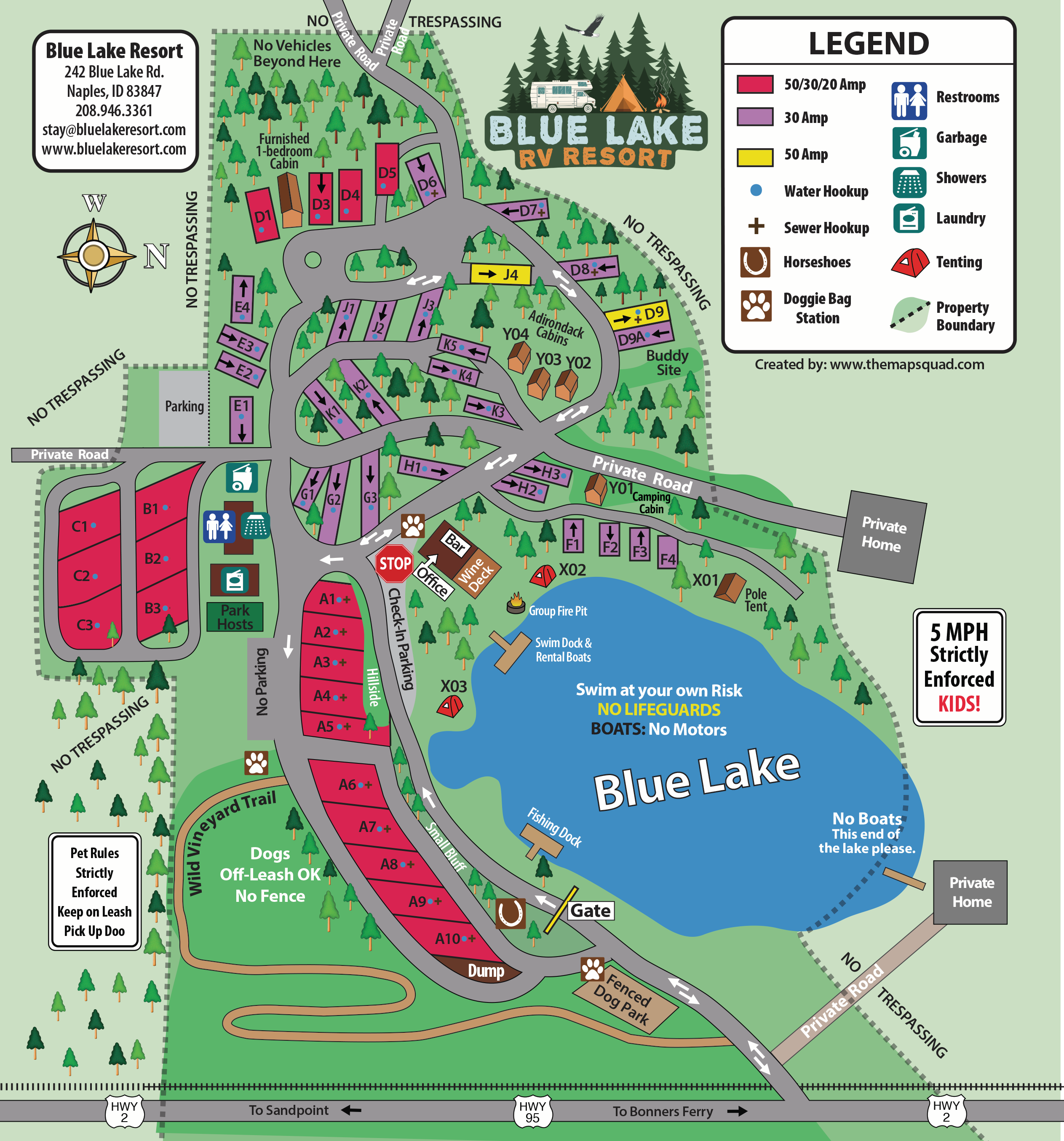


Our Site is Second fron the Left
About 20 miles north of Sandpoint is our home for two nights, Blue Lake RV Park and Lounge. We are here because RV site availability was non-existent four months ago for the Sandpoint area. We’ll be exploring Bonner’s Ferry before our jaunt to Whitefish Montana.

Bonners Ferry (2520 souls) is located about eight miles north or Blue Lake RV Park and Lounge. It is the largest city in Boundary County as well as the county seat. When gold was discovered in the East Kootenays of British Columbia in 1863, thousands of prospectors from all over the West surged northward over a route that became known as the Wildhorse Trail.
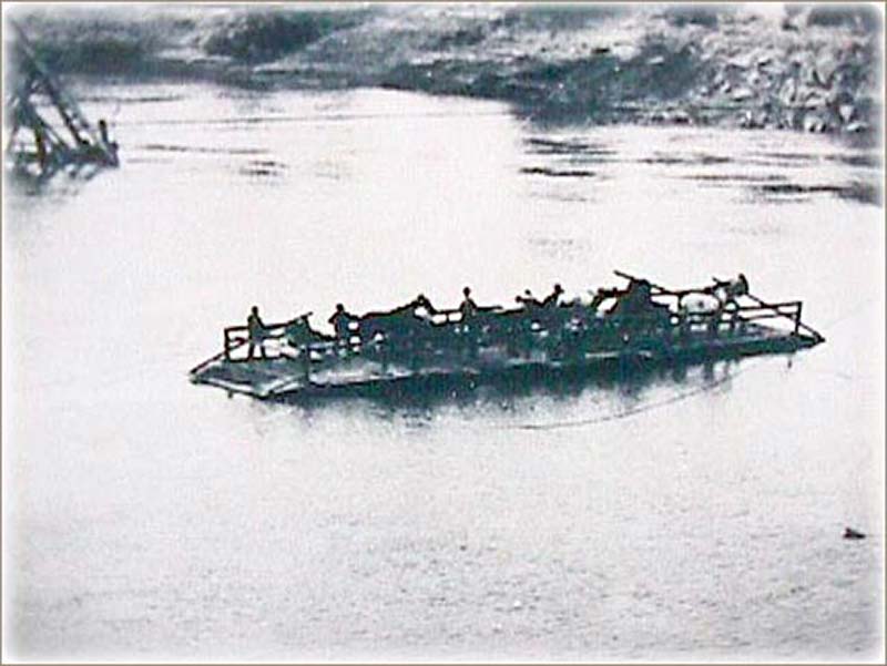
Edwin Bonner, a merchant from Walla Walla Washington, established a ferry in 1864 where the trail crossed the broad Kootinai. In 1875, Richard Fry, and his Sinixt wife, Justine Su-steel Fry, leased the business, but the location retained the name of the original founder and later the town became known as Bonners Ferry.


Before the gold rush only a few visitors had come to the region. One of the first was explorer David Thompson, a cartographer for the North West Company, and four fellow fur traders arrived in 1808 to trade with the Lower Kootenais. He came back a year later and established a trading post on Lake Pend Oreille. He was followed by Jesuit Priest Father DeSmet, missionary to the Kootenai Tribe. The Norwegian-built steamer Midge launched in 1883 transported passengers and freight between Bonners Ferry and British Columbia for 25 years. The Great Northern Railway was builtin 1892.

BCSD #101 is Boundary County School District- Proud Folks!
Early in the 1900’s the town became the center for a lumbering and a farming community. Valley land was drained and levees constructed and farms were cleared on the benches. The Kootenai Valley became known as the “Nile of the North” while the lumber company grew to one of the world’s largest lumber mills. Completion of the Libby Dam in 1975 lessened the threat of serious flooding.
In 1974 the Kootenai Tribe declared war on the U.S. Government. They posted soldiers on each end of town on US2 and asked people to pay a toll through what had been tribal land. Most tribes are forbidden to declare war on the U.S. government but the Kootenai never signed a treaty. The dispute resulted in the US conceding with a land grant of 10.5 acres………….. maybe the current casino is on that 10.5 acres…………
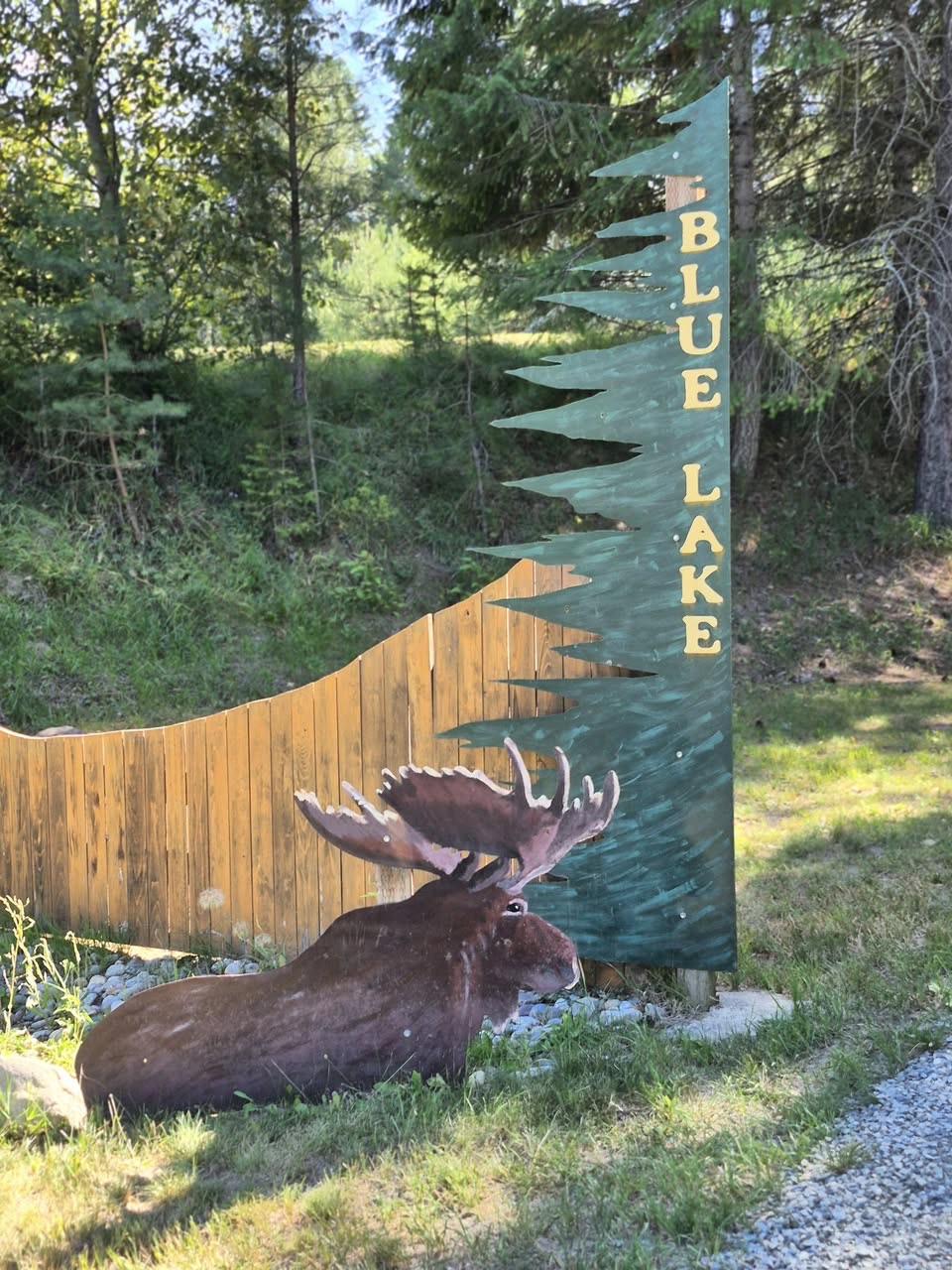
So as one can surmise the ferry is gone and the river can now be crossed on the Kootenai River Bridge. We head back home and spot this sign:

Some feel this permanently mounted sign is controversial
Until next time Via Con Dios!

The buds- 9 year old Buster with 6 year old Oliver on the right

Another wonderful trip for the books. Thanks for continuing to share such great history. This post was particularly cool for me, given I am from British Columbia 🙂
LikeLiked by 1 person
Hi Catherine,
We never made it to BC. We didn’t get health certificates for the muzzos and as has been the case since covid we had to make reservations 4 months in advance- BC was not in the plan this time.
LikeLiked by 1 person