
Tuesday August 19 Through Wednesday August 20 2025
We’ve followed US 2 for 569 miles. About 400 of it has reminded us of the Destruction Bay segment of the Alaska Highway- frost heaves, potholes and any other roadway imperfection that makes traveling in a RV uncomfortable. Honestly, I had to rule out a mechanical problem with the rig. I went under checking all suspension parts including the air springs. I see nothing wrong. I email a best buddy who has worked on big rigs for a living and is very mechanically inclined. He said that I did the right type of check on the RV and stated the roads suffer from frost heaves just like in Alaska. His advice was if I don’t hold up traffic- slow down. Slow down is what was done. We are traveling at 50-55 mph most of the time sometimes slower when our seat belts keep us from bouncing out of our seats. Ya just can’t see the bumps and lumps and potholes in the road so we go slow. Unfortunately a one man inspection will not uncover every problem as you’ll see in a coming blog post.

We arrive at Chinook (1180 souls) in about a half hour. Chinook is the seat of Blaine County. Sixteen miles south near the Bear Paw Mountains is Bear Paw Battlefield. This was the last battle between Chief Joseph and his Nez Perce tribal members and the U.S. Army, the end of a 1200 mile running battle.
AI Overview

From Wikipedia: The Fort Belknap Reservation in north-central Montana is home to two tribes: the Assiniboine (Nakoda) and the Gros Ventre (Aaniiih). The Gros Ventre are also known as the A’aninin, which means “People of the White Clay” according to Montana.gov. The Assiniboine are also referred to as Nakoda, meaning “generous ones” according to the University of Montana.

The Fort Belknap Agency is located 4 miles east of Harlem
Old boarded up church sitting on a hill in the Rez
Dodson (156 souls) lies just east of the reservation and between the Milk River and the Little Rocky Mountains. It is named after a merchant who oprated a trading post and saloon before the arrival of the Great Northern Railway. Dodson is the location of the Phillips County Fair, which claims to be the longest-running fair in Montana.
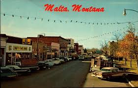
Malta Montana circa late 1950’s
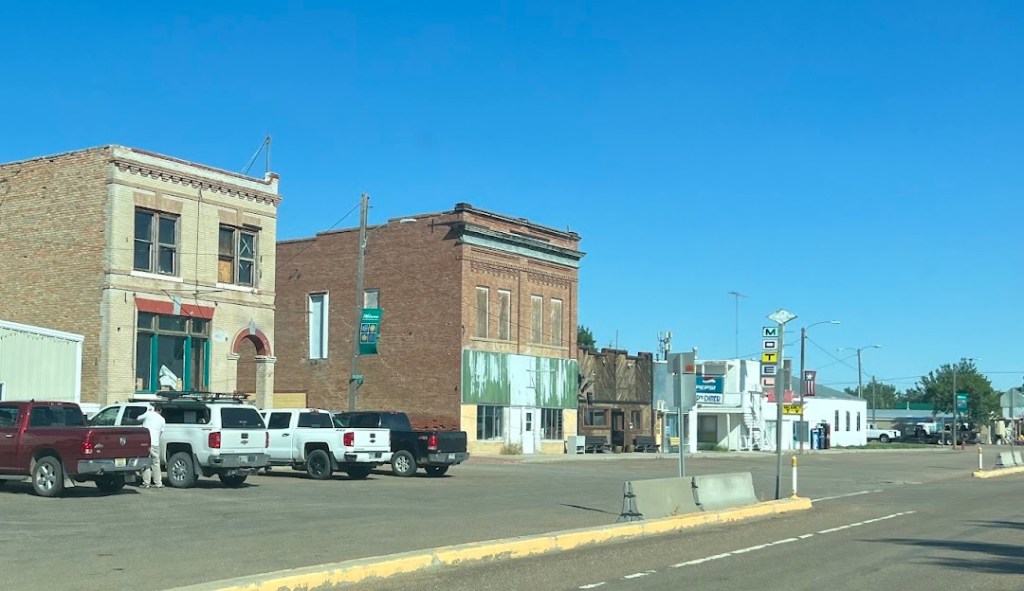
Malta (1860 souls) is the seat of Phillips County. Malta has a strong and diversified economy. The town evolved from railway siding 54. Dodson to the west and Saco to the east grew from other sidings. A post office was established in Malta in 1890. Its name is said to have been determined by a spin of the globe by a Great Northern official whose finger came to rest on the island of Malta in the Mediterranean Sea.

One of the best preserved dinosaurs ever discovered and one of only four that were fossilized is a 77-million-year-old Brachylophosaurus nicknamed Leonardo, unearthed north of Malta in 2000. Leonardo, together with brachylophosaurs Elvis (1994), Roberta(2003) and Peanut (2002), is on display at The Great Plains Dinosaur Museum. Of course we didn’t do our research- we drove right past the museum not realizing we could have visited Leonardo, Elvis, Roberta and Peanut……………
Saco (159 souls) is interesting in that it is the only small town that we’ve come to on US 2 that has 2 two story brick buildings that really stand out from the others. Why those two buildings? I don’t know…….
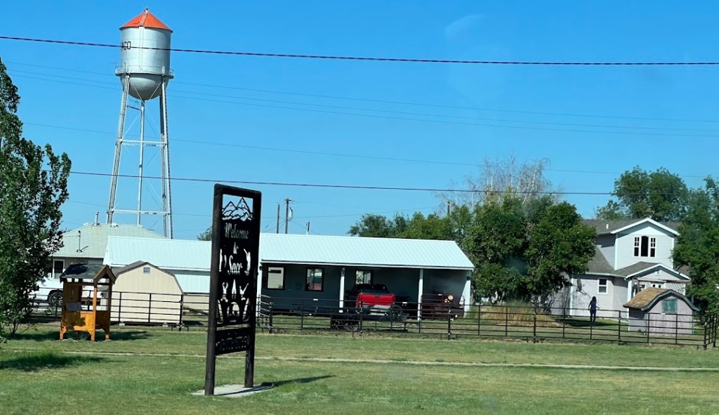
Saco has a cool little park. We stop for lunch and walk the dogs at the park.
Hinsdale (217 souls) has a wide sphere on influence so the population as a whole is 583 folks. Eight other town were part of the overall Hinsdale community- and they are for the most part now ghost towns. The town was originally a mile and a half east of its present location and was owned by “Six Shooter Bob. It was moved to be near the railroad.

We come to Glasgow (3202 souls). Glasgow is the seat of Valley County and the most populous town for 110 miles making it the most important economic hub in northeast Montana. The city was founded in 1887 as a railroad town by James Hill, who was responsible for creating many communities along the Hi-Line. Over the years the area was home for natives, then the sheer numbers of pioneers pushed the Lakota and Dakona off of the Fort Peck Reservation after Congress opened up the reservation to settlement.
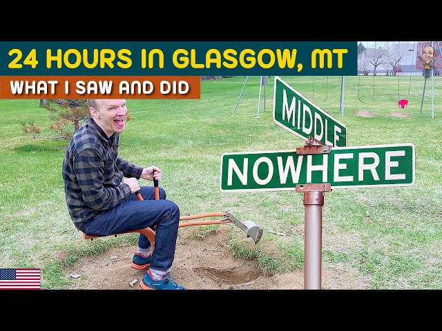
This guy at the intersection of Middle and Nowhere– some feel this is Glasgow’s location
While in Glasgow I see a sign indicating Fort Peck turnoff at the next right but the Garmin will have none of that and wants to go straight. It’s GPS is set for the size of our motorhome so it will choose routes that are safe for our rig to travel. Also, the Garmin hasn’t been 100% correct this trip so I ask Jil to check her phone and Goggle Maps. She verifies that we should turn right.

Sooo, we turn right and 200′ ahead is a railroad trestle with a 12′ 3″ height restriction. Crap, we are taller than that! There is no place to escape so now we have to disconnect the Subaru (can’t back up with it connected), back the Subaru out to a safe place to park, and back the RV up against traffic. A local fella sees our predicament, parks his car and says “I’ll help you back out.- the Sheriff is on the way and he’ll block traffic”. So we free the Subaru, Jil backs it to a safe place, the local samaritan waves me to back up and the Sheriff has blocked traffic. I get backed up to a point where I can proceed forward on US 2 and we proceed to our next stop, the Downstream Campground in Fort Peck.
Do you see the trend that I see? A whole bunch of these small cities located on U.S. Highway 2 are county seats. Why, you may ask. Take a look at northern Montana and count the amount of towns. Not very many are there. OK, now count the amount of major east-west highways. Not many of those either. Now count how many of those towns began as railroad sidings. There, you have your answer. Most of these county seats began as railroad crossings- US 2 loosely follows the path of the HI Line railroad.

We’ve been to this area and campground in the past- it’s a nice stop. We’d like to see different things but when the temperature is pushing 100 degrees the trees at the Downstream Campground are welcome..


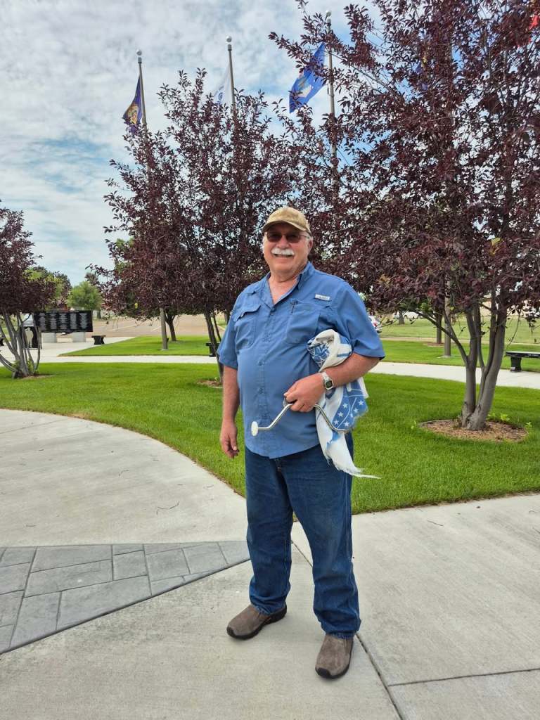
This is Kirk. He is one of one, the only steady volunteer to maintain this wonderful memorial in downtown Fort Peck. He’s quite a personable fella.
Up the hill from the campground is the community of Fort Peck (239 souls). The town began life as a trading post which enjoyed a virtual monopoly in trade with the Lakota and Assiniboine people. It later became an Indian Agency from 1873 to 1878 when the agency was moved to Poplar. The new town of Fort Peck was built to house the Army Corps of Engineers while the new Fort Peck Dam was being buitl beginning 1934. The town’s size was totally inadequate for the amount of workers so shanty towns sprang up nearby. The town was designed to be temporary yet it stands tall today. And the Corp still lives there. It’s really a nice town!

Fort Peck Dam Which Forms Fort Peck Lake on the Missouri River
It’s been near 100 degrees for two days now. The shade helps temper the sun some. The rig’s two A/C units do a good job of keeping the interior cool. The park is not full. The sites are very large with just electricity at each site. We like it here but tomorrow we depart- so we’ll see you then.
