Jil and I have long histories of visiting wonderful places on this God given earth. Before we met Jil traveled, mainly by air to parts of Europe, Israel and numerous ski resorts located in the U.S.A. and Canada.
She had never been camping, you see. I had never left the U.S., nor flown for that matter (except in fire department helicopters), choosing instead to travel our great country with the aid of almost every type of mobile shelter known to man.
I introduced Jil to camping by taking her on short trips in my very old but functional 1973 Revcon 25′ class A motorhome. Jil fell in love with camping, but the old rig not so much. It was soon replaced with a travel trailer.
Constantly having to step over two large dogs lying on the very limited floor space of the travel trailer lead to a costly but welcome upgrade- a new truck to tow a new, more comfortable double slide 5th wheel. We wore that combination out and purchased our second 5th wheel, a triple slide Heartland Big Country 3250TS, then a new truck to pull it up to Alaska and back. Three slides and we still step over the dogs! Oh well.
We started RVing in a Class A motorhome and will probably end our adventures in another one. Our rolling stock consists of a four slide Tiffin Allegro Red that’s short enough to be accepted into most state parks and a Subaru Forester toad. For our preferred method of travel it is ideal. We like to travel relatively short distances and only stay a couple of days in any one place. Set up for the motorhome is much quicker and more simple than a trailer and every convenience is inside our rolling home. One of the downfalls of towing a trailer in hot weather is no A/C running while in transit. That’s not a factor in the motorhome as we can run the A/C units with our generator as we travel.
The events of 9/11/2001 have soured us on air travel. We now travel almost exclusively with Jil as the copilot/navigator and moi as the pilot of 25,000 pounds worth of rolling stock. Scenic byways and country roads are preferred over interstate highways. We were both raised in large urban communities so visiting small towns is a treat. We like to meet those small town folk and visit the places they call home.
We spend a peaceful night get up with the sun and get ready to go home. I had gone into town and purchased a battery charger- just in case. The next morning the engine fired right up and we were off. It’s very cloudy today and we are expecting some rain. We jump on Interstate 80- traffic is very light. Around 8:30 or 9:00 all the truckers wake up and truck traffic gets fairly heavy. Wind is mild and not much of a factor.
Those are all padlocks hanging between the posts
We stop in Lovelock for several minutes to stretch. A rest stop is up ahead but it’s pretty sparse and not a good place for dogs. Lovelock has a small park where we like to stop. The park has collected thousands of padlocks , er, lovelocks, The dogs ignore the locks in favor of the grass.
Continuing on we pass the Rye Patch Recreation area and the infamous 40 mile desert that caused so much angst to the pioneers. Thousands of years ago the Rye Patch area’s climate was colder and wetter than it is now. A much larger Humboldt River fed ancient Lake Lahontan, a body of water covering most of the Great Basin.
About 23,000 years ago when the elevation of the ancient lake was lower than the present reservoir, large animals such as camels, horses, mammoths and bison, as well as small rodents, came to drink from springs in the river bank. Some animals perished there, and their partially fossilized bones have been discovered at numerous locations on the reservoir’s shoreline.
In a short time we pass Fernley (22,895 souls) and join the Truckee River as it flows down this canyon from Lake Tahoe to Lake Pyramid. We follow the canyon for quite a ways until it opens up into the city of Sparks.
Sparks and Reno have grown together so it’s hard to determine the border of the two. The population of both cities combined is around 500,000 souls. We pass the familiar buildings of downtown Reno- 10 miles to go.
We arrive at our turnoff and head up the hill to our home. My back is killing me so I do what I can to help unload the RV and set up a power source for it. I unhook the Subaru and put it in the garage. Jil, Blesss her heart, takes a big load off of me and unpacks the coach- empty refer, empty pantry, remove clothing. Its a big job and appreciate her picking the slack that my bad back has created.
So that’s the end of our 2025 trip. How many miles? 2824 miles going to Goodlettsville, Tennessee and 2247 home for a grand total of 5071 miles not counting side trips in the Subaru. We had a good time despite a suspension hiccup in Minot ND and starting problems in Elko. We visited family in Idaho, Montana, and Tennessee. We visited friends in Idaho, North Dakota and Wisconsin. We visited 13 states and enjoyed every one of them.
We hope you enjoyed following our journey as much as we enjoyed our adventure. Until the next time Via con Dios!
We had some rain here in Elko and a lot of it turned to ice- yep it got cold last night. I had all utilities stowed away except for the power cord so it’s easy to head out in the morning.
All these gauges should be lit up
Jil brings the slide rooms in and stows the leveling jacks. I get behind the wheel and turn the key on and the instrument panel doesn’t appear normal- the gauges are not responding. Hmm, I turn the key to start position- nothing. Double hmmm. I do get an error message- “Check Brake Fuse”. I looked in the most logical places for the brake fuses and can’ find it- and all fuses are well marked. Now what…….
Jil asks about every half hour-“What’s the plan?” I say I’m diagnosing the problem and the more I do the less complicated the problem as the check brake fuse is no longer displaying- but the engine still won’t start. I have the generator running to supply electricity to the batteries and notice small changes.
OK, I’m going for the big guns. The fella next door left so I can drive our Subaru close to the RV starting battery compartment and use jumper cables from Subaru battery to RV starting batteries. That in itself wasn’t working so I used the auxiliary switch that connects house and chassis batteries together along with Subaru’s charging system and the RV’s diesel comes to life. And all the gauges are normal and “check brake fuse” message disappears. Whew, we had called Good Sam Road Assistance with no joy- I’m not sure that program is worth the money……..
So almost three hours of diagnosing and testing and outsmarting the RV’s battery system we are on you way. The delay in leaving Elko has made the decision easy for us- we’ll stop in Winnemucca for the night before we head for home. We decide to stay at the New Frontier RV Park once again. It was empty when we stayed there in August so we chose not to call for a reservation.
A three hour drive takes us to the RV park. We see that the site we would like is vacant- yipee! Jil goes in to register, comes out and says the site we like is taken- and the park has 40 more rigs coming in tonight! So we accept the site that is available and hunker down for the night. We meet some folks heading south for the winter-snow birds as they are called. Nice folks they are.
We spend a peaceful night and in the morning we’ll be getting ready to go home. I had gone into town and purchased a battery charger- just in case. Fingers crossed that the engine fires tomorrow…………………
We leave the beautiful Coalville area driving through a pretty little valley heading towards Salt Lake City some 40 miles away
At first we trail through a beautiful green valley where farmers are are growing hay and other fodder.
We’ll travel in high country most of the way to Salt Lake so the Interstate can get pretty twisty with 55 mph curves as it follows canyons down to the desert floor and Salt Lake.. We pass the turnoff to the ever popular Park City and Heber.
We reach the valley floor and the beautiful city of Salt Lake (217,283 souls). We traverse the I-80 and I-15 merge, head north towards downtown, then transition onto the I-80 once again and head west.
Passing the Great Salt Lake it appears that lake level is a little higher than when we last passed by about 5 years ago. Interstate 80 continues on more or less west around the south shore of the Great Salt Lake.
The drive now is through dry valleys, over some mountain passes and onto a very flat valley floor. This floor is white, very white as we advance towards some more mountains. Just before we reach the upper elevations the highway takes us passed the Bonneville Salt Flats.
Wiki- The Bonneville Salt Flats are a densely packed salt pan in Tooele County in northwestern Utah, United States. A remnant of the PleistoceneLake Bonneville, it is the largest of many salt flats west of the Great Salt Lake. It is public land managed by the Bureau of Land Management and is known for land speed records at the Bonneville Speedway. The Flats are about 12 miles (19 km) long and 5 miles (8 km) wide, with a crust almost 5 ft (1.5m) thick at the center and less than one inch (2.5 cm) towards the edges. It is estimated to hold 147 million tons of salt, about 90% of which is common table salt. The Land Speed Record at Bonneville is in excess of 763 miles per hour!
We come to Wendover. There’s Wendover Utah(1115 souls) and West Wendover, NV (4512 souls). Which one do you suppose has casinos? I’m looking for a convenient place to fuel the motorhome. Of course they are not identified by signage and are hidden by a bluff so we drive right past the exit to the fueling stations. We still have plenty of fuel to take us to Wells, NV (1292 souls), about 50 miles up the road.
The wind has started to pick up and that means I’m doing a lot of counter steering to keep the rig between the lines. I hope it doesn’t get worse. It does…..
The last time we stopped in Wells, business wasn’t doing well at all. The business section suffered heavy damage from a 2008 6.0 earthquake and it has never fully recovered. We are not going downtown so I can’t comment on Wells economy but I can say that truck stop diesel prices are the highest I’ve seen since leaving on this trip. Truck stop cost- $4.00 a gallon. Across the street is a Sinclair station with a truck fueling station- $3.56 a gallon.
So the wind has been a big pain for the last 100 miles. I’ve slowed down to make travel more manageable and that helps. The wind just likes to move the big box out of its lane and into a ditch so I counter steer each gust of wind as best I can. We stay in our lane yet weave around a lot. Wind speed is 25-35 mph from the southwest…… Not fun………
Our destination for a couple of nights is the Iron Horse RV Park in Elko, NV (20,264 souls). We have been to Elko several times but only stopped to stretch our legs. They have a large municipal park that incorporates an events center, an indoor swim center, several ball diamonds and a large shaded grassy area. Best of all- there’s no problem parking big rigs. The Eastern Nevada Museum fronts the park.
Elko has five, yes five casinos I stand corrected- ten.. One would think that the casino income drives the economy. The National Cowboy Poetry Gathering is an annual event. According to Travel Nevada- So, where is Elko, Nevada? Sitting just above 5,000 feet, this thriving Nevada city is nestled in the northeastern corner of the state. As the largest town in the region—and therefore a must-stop along the Cowboy Corridor road trip, Elko is both a confluence of Western cultures and a gateway to some of Nevada’s most surprising and untamed wilderness.
Surprisingly, the city’s economy is primarily driven by mining, specifically gold extraction., with the city considered the “capital of Nevada’s goldbelt”. Yes, gold mining is a major industry in Elko, Nevada, with the area being the leading gold-producing region in the United States.
Iron Horse RV Resort is the highest rated park in Elko. It is pretty nice. There are a lot of side by side pull though sites which I normally stay away from but this parks side by side pull throughs are different It has the standard Side by side common use pedestals between rigs but the door side has a lot of grass. It was a nice set up actually. Some of the back in sites had grass and some didn’t. The park would be nicer if all sites had grass.
We’ll stay here two days, then decide if we want to drive all the way to Reno or stop in Winnemucca to break the drive up. Driving all the way to Reno violates our 250 mile rule as it is 300 miles from Elko, so we’ll most likely overnight in Winnemucca- especially if the wind is blowing.
When we travel we look down the road for possible places to stay around 250 miles from our present location and on our preferred route. Our preferred route as we head towards home is Interstate 80 as it will take us to within a mile of our home. Pretty convenient eh?
We drive past Wamsutter (290 souls). This town is in the Red Desert, a basin where none of its water runs to the ocean. It’s also on the Continental Divide.
The next “community” is Point of Rocks (3, yes, 3 souls). Point of Rocks may be tiny yet it sports a museum inside the Conoco Fueling Station.
And then we come to Rock Springs (23,456 souls). The town is built in a narrow canyon and I don’t know why. This area is natural gas and petroleum rich. Rock Springs derives its name from a rock spring which flowed in the Number 6 district in the northern part of town. An account said that the spring was found by a lost Pony Express rider, but the spring station was known to Jim Bridger before 1860; the Overland Stage station was located nearby. The spring disappeared when the coal mine operations interrupted the underground flow.
Next community is Green River (11,825 souls). The city is the seat of Sweetwater County. The Union Pacific Railroad reached Green River on October 1, 1868, and was supposed to be the site of a division point for the railroad. Railroad officials were surprised to find that a town of 2000 residents and permanent adobe buildings had been established there, likely requiring costly negotiations for railroad land. They moved the division point 12 miles (19 km) west, creating the town of Bryan, on the Blacks Fork of the Green River. Just when Green River was on the verge of becoming a ghost town, Blacks Fork dried up during a drought and the railroad was forced to move the division point back to Green River to ensure adequate water for its steam locomotives. Bryan became the ghost town.
Excerpt from Wikipedia: The Green River Basin contains the world’s largest known deposit of trona ore. Soda ash mining from trona veins 900 and 1,600 feet (490 m) deep is a major industrial activity in the area, employing over 2000 persons at five mines. The mining operation is less expensive for production of soda ash in the United States than the synthetic Solvay process, which predominates in the rest of the world. The trona in Sweetwater County was created by an ancient body of water known as Lake Gosiute. Over time, the lake shrank. With the loss of outflows, highly alkaline water (salt brine) began to evaporate, depositing the beds of trona (a natural source of sodium bicarbonate).
We come to Little America. Built in 1952 along the old alignment of U.S. Route 30 which was also the Lincoln Highway, the first road across America, the property began with two fuel pumps, a 24-seat café, and 12 guest rooms. Today the location has 140 rooms and expanded gas pumps for both truck drivers and travelers. For a number of years this location had the world’s largest filling station based on the number of pumps in operation – 55 in all. Little America grew into hotels from Cheyenne Wyoming to Flagstaff Arizona. The properties are owned by Robert Earl Holding’s family who’s worth is 4.3 billion dollars.
Evanston was founded during the construction of the first transcontinental railroad. The railroad arrived in the area in November 1868, and Harvey Booth opened a saloon/restaurant in a tent near what is now Front Street. By December the rails had reached Evanston and the first train arrived December 16. However, orders were later handed down by the railroad managers to move the end of the line 12 miles west, to Wahsatch. Within three days, most all of Evanston had moved to Wasatch. It appeared that Evanston would become another “end of the tracks” town. In June 1869 headquarters returned to Evanston and it continued to grow.[10] Later in 1871, a machine shop and roundhouse were constructed, giving Evanston a longevity not shared by many other railroad towns. The town was founded during the construction of the first transcontinental railroad. The railroad arrived in the area in November 1868, and Harvey Booth opened a saloon/restaurant in a tent near what is now Front Street. By December the rails had reached Evanston and the first train arrived December 16. However, orders were later handed down by the railroad managers to move the end of the line 12 miles west, to Wahsatch. Within three days, most all of Evanston had moved to Wasatch. It appeared that Evanston would become another “end of the tracks” town. In June 1869 headquarters returned to Evanston and it continued to grow.[10] Later in 1871, a machine shop and roundhouse were constructed, giving Evanston a longevity not shared by many other railroad towns. The town was founded during the construction of the first transcontinental railroad. The railroad arrived in the area in November 1868, and Harvey Booth opened a saloon/restaurant in a tent near what is now Front Street. By December the rails had reached Evanston and the first train arrived December 16. However, orders were later handed down by the railroad managers to move the end of the line 12 miles west, to Wahsatch. Within three days, most all of Evanston had moved to Wasatch. It appeared that Evanston would become another “end of the tracks” town. In June 1869 headquarters returned to Evanston and it continued to grow.[10] Later in 1871, a machine shop and roundhouse were constructed, giving Evanston a longevity not shared by many other railroad towns. Evanston underwent massive growth and change during an oil boom in the 1980s. Recent drilling for natural gas has also revitalized the economy of the area
We are back on Interstate 80 heading west. Just over the Nebraska/Wyoming border is Pine Bluffs (1102 souls). Coming into town the Our Lady of Peace Shrine is very prominent with a statue of Mary standing 30 feet tall. Included in the complex with Mary are religious sculptures, and prayer areas. The Shrine hosts an annual pilgrimage.
The trip from Sydney NE to Rawlins WY is unremarkable. However, the highest point on transcontinental I-80 route is the summit between Cheyenne (65,704 souls) the state’s capitol, and Laramie (32,957). And guess where it snowed today.
We’ve been to Rawlins WY (8221 souls) in the past so we knew what we would find there. The city is the seat of Carbon County. Rawlins is known for its history as a Union Pacific Railroad stop, the Wyoming Frontier Prison (a former state penitentiary and now a historic site) and its role as a transportation and supply center for the state’s industries. It also has connections to the discovery of “Rawlins Red” pigment for the Brooklyn Bridge and has served as a major shipping point for uranium.
We stay at the KOA this time. It’s pretty nice considering we are in high desert. It’s right off of the interstate so a good location for business. A lot of one nighters come and go here but do a pretty good job of filling the place up at night.
We are pretty much home bodies our first day as the Major League Baseball playoffs have begun. Some days have two games on and others 4 games. Four games is a little hard to handle for me. We look for parks to walk the matzos and find a very nice one not a quarter mile away.
The second day in the morning we head to Walmart. Yep, Rawlins has a Walmart. And an oil refinery which was locally owned, sold to non-local company which promptly changed the order of things and a hundred truck drivers lost their jobs.
We took the groceries back to the RV, stowed them away, then went downtown. The first time here Jil loved the quaint, vibrant downtown. All the shops were doing a good business. Well things are not the same. Downtown is now dead. Two major shops closed because the owners retired and no one bought their business. People started losing their jobs which affected businesses so most started to close, never to open again. Almost all of the businesses in the old business district were closed. What a shame! The one store that was open sold clothes and curios. The proprietor was a wealth of knowledge. She stated that her husband used to work construction at the refinery but there was no work there anymore so he picks up odd jobs. She also said the hospital closed its maternity unit so ladies now have to go 45 miles away to Laramie to give birth to their children. Traveling to Laramie in the dead of winter is not so good- they close the interstates during inclement weather…… so some babies are born in an ambulance or private vehicle on their way to Laramie, or Casper. She’s not sure that the hospital will stay open. That would be devastating for this small town.. This is a nice little community that is not doing well.
We drove around town for a while. We went by the historic penetentiary. It looked closed yet a school bus sat out front. A tour of the “pen” is a must when visiting Rawlins.
We enjoyed our stay here. All but four rigs pulled out of the KOA this morning and now at 1900 hours the place is packed. I gonna try to watch four Major League Baseball playoff games tonight. Wish me luck!
We are moving on tomorrow trying to follow the “250” rule
Why Sydney (6483 souls) one may ask. Remember the “250 rule”. That’s one reason to stop here. Another is we’ve seen Cabela’s RV Campground from the interstate before and it looked interesting. Another reason is the history of the city.
Cabelas campground
Frontier newspaper editors and publishers called this lawless burgh “Sinful Sidney”, “Wickedest Town in the West”, “Toughest Town on the Tracks” the “Hardest Hole” and even the “Magic City on the Plains.”
Thousands of gold seekers, cowboys, soldiers, desperadoes and freighters frequented the town from 1876-1881 when Sidney became the “Boss City” as the closest shipping point on the Union Pacific Railroad to the gold discovered in the Black Hills and Deadwood.
“Boot Hill” Cemetery, or the original Sidney Cemetery, has existed since 1868. It was first created to bury soldiers of Fort Sidney, who died in gun battle. Sidney eventually became the wildest old west town on the rugged untamed frontier with many colorful characters.
The abandoned Cabelas headquarters complex
Cablelas World Headquarters was located next to its store and campground. It was deeply connected to Sydney for 50 years. Bass Pro Shops acquired Cabela’s leading to the elimination of nearly 2000 jobs placing a significant negative impact on the town’s economy. The complex lies vacant today, however a local investment group purchased the former Cabela’s world headquarters for 1.5 million dollars. The investment group intends to fill the campus with businesses and collaborate with city leaders to support Sidney’s future and help it avoid a boom-and-bust cycle by diversifying its economy.
We are glad we stopped for a couple of nights in Sydney. We did a little snooping, increased our knowledge- and Cabelas was right next to the campground.
So tomorrow look west on I-80 from Sydney and see if you can detect where we’ll be spending a couple of nights. Until then………
We are heading towards from Kansas north to Nebraska as we’ve been on the road for over 2 months and we are heading towards the barn- slowly, but prefer interstates for this leg of the trip. Why Nebraska you may ask? Well, we have three interstates to choose from. Interstate 40 stays down low going from Nashville, through a portion of Arkansas, then Oklahoma, Texas, New Mexico and Arid-Zona. That route has us traveling to Kingman, AZ then north 557 miles to Reno for a total of 2249 miles. We’ve taken that route many times and it is not our favorite.
The second Interstate we could take is I-70 from Kansas City KS. That route puts us going over the Continental Divide and through the Eisenhower/Johnson Tunnel at 11,158 feet. This time of year the weather can turn rapidly at that altitude and travel by RV with no tire chains, or even with tire chains can be iffy. Home from Hendersonville through Kansas City, over the Rockies and up to Salt Lake City on Interstate 70 to I-15, and I-80 is 2194 miles. By the way, snow has been reported in the higher elevations of the Rockies already this fall.
Our chosen route home will be Interstate 80 via a few US highways to get to the that interstate. The most direct route which utilizes Interstate 80 is 2146 miles from Hendersonville to Reno. Of course we can’t just blast on home so we chose to visit Poplar Bluff, MO, Lake of the Ozarks MO, Clinton State Park, KS, then on to Mormon Island State Recreation Area in Nebraska. From Mormon Island we’ll be hugging Interstate 80 all the way home for a grand total of 2249 miles. So between all three routes the distance only varies about 50 miles as routed by Google Maps; in our case we added 103 miles and got to see some new country.
We left Clinton State Park in Kansas and headed towards Mormon Island SRA in,Nebraska. We are routed onto I-70, our third toll road of this trip. Just on the west side of Topeka we join Highway 75 north. This is a beautiful highway, the southern section is four lane and the northern is two land. We are traveling through beautiful farm country. Corn fields predominate followed by hay and canola/soy beans. From Highway 75 we head west on Highway 2, then miss a turnoff due to vague instructions from Mr. Garmin.
The garmin doesn’t even recognize that we are still on a road after the miss and shows us traveling is space………No matter…… well kinda does matter as we fail to use our intuition and rely on Mr. Garmin and confusing road signs and turn the wrong way on Hwy 77. No matter Jil’s Smarty Pants Phone tells us to make a U turn a mile down- remember Miss Smarty Pants doesn’t do big rigs. “U turn”, with big RV? It was tight but we made it and took Highway 77 up to I-80 near Lincoln Nebraska- we could see the high rise buildings.
Mormon Island was once a thriving gold mining camp during the height of the gold rush. As the name implies, the residents were primarily Mormons. At the height of its popularity, the town had 2500 residents, 4 hotels, 7 saloons, and 1 school. The town itself is credited with the inception of the gold rush – a Mormon entrepreneur learned of this profitable camp and went to San Francisco to spread the word. He eventually made a fortune selling mining supplies in Sacramento, and left the hard labor to the prospectors.
Let me tell you Mormon Island SRA is drop dead beautiful. Located between two lakes, the mowed grass sites have wonderful views of those lakes and are spacious. There’s plenty of room to walk the doggies.
The camp sites only have electricity, not unlike other state recreation areas we’ve visited. After leveling and extending the slides I check our water level- it’s pretty darned low as we didn’t hook up to water at Clinton SP. We look across the street and there’s a water hydrant. Do I have enough water hose to reach or do I have to move the RV? I get out the 50 footer, the 25 footer and the 10 footer and stretch them from the RV to the hydrant and by golly they reach- with 3 feet to spare. The water tank is now full!
We went into nearby Grand Island because we needed to retrovision. And guess what, they have a HyVee market! This one is not quite as large as the one in Osage Beach. We love that store…….
The campground is only one feature of the SRA. Boating, swimming and taking advantage of a beautiful day use area are others. We stayed two nights at Mormon Island SRA. If we lived closer we’d probably frequent this beautiful park. And we’d be sure to bring a full tank of water with us!
So we’ll be following Interstate 80 all the way home. We will try to abide by the “250 rule”- not more than 250 miles of travel on a travel day. We’ve been doing pretty well, only slipping up to 280 miles once this trip.
We’ll see you at the next stop. Peruse your maps and you might just figure where we might stop for a couple of nights.
In the 1939 movie, The Wizard of Oz, Dorothy says to her dog at one point, “Toto, I’ve a feeling we’re not in Kansas anymore.” Ahhh, but Jil and I are!
Both of us are a little leery of our Mr. Garmin and Miss Smarty Pants routing directions considering the routes we’ve taken the last few days. I looked on Google Maps on my computer and exploded each portion of the route and I’ve determined that even Mr. Garmin and Miss Smarty Pants can’t screw the next route up- fingers crossed.
We work our way north/northwest following perfect directions from Mr. Garmin. The roads are very good to excellent for a change. We travel through lots of beautiful farmland, then graze Kansas City, Kansas as we continue west. We are heading to a one night stand in Clinton State Park near Lawrence, Kansas. Our route is easy to follow even though there are a few route changes. I was a little confused with one route because I’m not from Kansas. State routes in Kansas have this sign:
All is good and we pull into Clinton State Park. Jil goes into the office to check in and comes out with a copy of the campground map with a line drawn on it indicating how we are to proceed to our campsite. We muff it because there is a lack of signage indicating which campsites are on each loop. We double back and find our site…… Hmmmm… the utilities are on the wrong side of our rig. I look down the row and some rigs face the same as ours and some face the opposite which puts the utilities on the correct side. No matter, I have enough power cord to reach the electrical pedestal and we don’t need water.
Clinton State Park sports 368 campsites, six cabins, a 25 mile hike/bike trail, a five mile cross country ski trail, archery range, two disc golf courses, a 3 acre trout pond, a one acre kiddie trout pond and a fish cleaning station and a marina- all on the shore of Clinton Lake, a reservoir built to protect surrounding communities from devastating floods.
The evening is warm and the sky clear and our satellite dish is working perfectly. We have plenty of room to walk the dogs so this park is serving its purpose- a layover camp on our way to our next destination.
The next blog will find us in a very nice place. Come along and see for yourself!
We left Poplar Bluff around 0900. We’ve not been to the Lake of the Ozarks so this is a great time to visit. We’re not in a hurry as check in time is1500 hours at Lake of the Ozarks State Park and we are maybe 5 or 5 ½ hours away. For some reason Mr. Garmin and Miss Smarty Pants cell phone can’t find the state park, only the state recreation area. As we are not familiar with the lake’s 1100 mile shore line nor it’s amenities we go with Jil’s mapping system. Mr. Garmin took itself out of the mapping game and for some reason is sulking.
We head out on nice four lane US 65 for quite a few miles. If we stayed on this highway we’d wind up in Springfield MO; the lake is quite a bit north of Springfield so we’ll be getting off US 65 in favor of other highways. That turns out to be our downfall. Jil’s phone is not set up for big rigs so it will take us willy nilly all over the countryside at its every whim.
The route it has us following today is no exception. You have a sneaky suspicion of things to come when it has us turn off onto a very narrow country road- complete with nary a soft shoulder and a deep ditch on either side of the road and oncoming semis who are not afraid to hog the road. After 20-30 miles of that the phone’s map has us turn onto an even narrower road to head 90 degrees from the original course. I tell Jil that her smarty pants phone instructions can’t be right as the campground we are going to accepts very large motorhomes and trailers and this road just isn’t built for big rigs. But we are committed.
The next country road we turn onto dead ends so we turn right at the T intersection. Not far down this road 25 mph speed limit signs pop up…… and lookie here, the road turns to gravel. Well, ga-olly! The road now is a lane and a half wide and gravel…….. and then again becomes paved with asphalt. There’s hope as we pass an RV Park. Jils says “how did those RV’s get in here” and I says “Not the way we came”. Jil now says we are to ride a bicycle path for a tenth of mile. How in the heck are we gonna travel down a bicycle path with a Class A motorhome. Well it turns out the bicycle path is where you’d expect to have one- along side a road. We cross I-44………….
So it goes for many, many miles. We spend a lot of time on Country Road K. We finally arrive at Lake of the Ozarks Recreation Area, the place Miss Smarty Pants takes us and Mr. Garmin concurs. Jil says follow the road for two miles so we follow the road for maybe 6 miles and arrive at a very small boat marina and a 12 site primitive campground. Uh, this may be the wrong location as our site number is 234 and has full hookups. So out we go six miles to the main road, stopping to reconnoiter.We are both beat and flummoxed as to why both of our mapping systems can’t find the state park. Jil finds the state park on her phone map by typing in “campgrounds” and Lake of the Ozarks State Park is the first to pop up. Jil says “it’s 22 miles away and I’m not gonna go any farther”. I says “what’s our choice?….. So clearer heads prevail and suggest that we continue to the park, so we did.
The dotted lines means Miss Smarty Pants found the state park but doen’t know how to get there. Notice we’d have to ford the lake…….
We arrived at the park two hours later than anticipated due to bad routing and really bad routing. The state park is really nice. Most of the sites are in trees and well laid out. Our site is in a new part of the park down by the lake. It’s so new it doesn’t have any trees planted yet which is OK, the location is great and we have full hookups.
Day Two: We are still tuckered out from that drive yesterday but we summon up enough energy to visit part of Osage Beach(4637 souls).This city plays much larger than 4637 people as its a very popular vacation area. There are hotels everywhere, boat rentals are more prevalent than auto rentals.
Early Morning Photos from Our Campground
A little history: Osage Beach was founded in 1886 as Zebra before being renamed as Osage Beach in 1935. Osage Beach was incorporated in 1959.When the Lake of the Ozarks was created, it caused the flooding of much of Zebra. Most of the town’s merchants chose not to establish new locations.
We have need for a few provisions. Jil maps out a grocery store call HyVee. I envision a small local store. Wrongo cowboy, this market is HUGE! We enter the store and walk past 10 rows of every kind and brand of liquor, wine, beer known to mankind. Beyond that is every kind of cheese known to man. I look down the cross isle and can’t see the end of the store. This place is incredible. They not only have the product you want but 10 more just like it. The butcher counter has 10 flavors of bratwurst- I thought there was only one! We find the groceries that we came for but can’t resist walking through the entire store just to take in its magnificence.
We end our two night stay here lookiing forward to our next stop. (We have our fingers crossed that map directions are better and roads are smooth and wide)
We are no longer in Tennessee as we slowly wend our way towards our home. We left Goodlettsville around 0900 hours, hoping that we’d allowed enough time of rush hour to pass through. We hooked up with I-24 heading northwest.
We passed Clarksville, (166,722 souls), Tennesee’s fifth most populous city and Montgomery County’s seat. The city was founded in 1785 by General George Rogers Clark- brother of William Clark of the Lewis and Clark Expedition. The city is located ten miles from Fort Campbell, site of the 101st Airborne Division. The fort straddles the Tennessee- Kentucky state line. I-24 bypasses the city so we didn’t peruse it but an intreguing read of this city is located here.here: https://en.wikipedia.org/wiki/Clarksville,_Tennessee.
This is another multi-state travel day- four states to be exact. We start off in Tennessee then travel to Kentucky, Illinois and finally Missouri.
On our way to Paducah, KY we pass an area called Land Between the Lakes National Recreation Area. After the Cumberland River was impounded in the 1960s and a canal was constructed between the two manmade lakes, Land Between the Lakes became one of the largest inland peninsulas in the United States.
User comments
User comments
Paducah Kentucky (27,130) lies on the banks of the Ohio River. It’s flood walls are reminiscent of those of Vicksburg MS in that beautiful murals have been painted on them.
We are supposed to head towards Poplar Bluff MO from Paducah. Jil’s smarty pants phone and Mr. Garmin are once again in conflict. Jil’s phone has a route beginning before the Garmins so we follow her phone. I’m only 50% confident about Miss Smarty Pants route selection but we went with it. We find US 62 and head west. All is good for a while as the road is four lanes.
Of course two lanes end and we are no longer on US 2 but County 286 and the county is chincy with its asphalt. Not only is the road now two lanes with 3 foot deep drainage ditches on either side of the roadway but the lanes are 11 feet wide including the center line and fog line- and the rumble strip is in the fog line. So in reality my 8.5′ wide rig is traveling on a 10′ wide roadway. I’m highly focused on keeping he rig in the center of the lane but every once in a while a low spot next to the fog line wants to pull the front wheels towards the ditch- and that’s not fun. I have to correct swiftly and not oversteer otherwise the RV crosses the center line which could spell disaster. On top of that the oncoming semi trucks also are guarding against going in the roadside ditch and are riding the center line- literaly tires right on the center line. Well that gives me about of foot clearance from those oncoming trucks. If I told you I was a tad stressed would you believe me?
I thought our road woes were over when we reached Cairo, IL (1733 souls), our third state since leaving Tennessee this morning. Cairo’s downtown comprises the Cairo Historic District listed on the National Register of Historic Places. The city was designated as a port of delivery by Act of Congress in 1854 and commerce flourished. During the Civil War the city became a repair depot for Confederate boats until was then taken by Ulysses. S. Grant. Grant then built Fort Defiance at the confluence of the Ohio and Mississippi Rivers.
We are still following US 60 and drive through Wickcliff (640 souls) on our way to the Ohio River Cairo steel bridge. The bridge is narrow and Mr. Garmin is going nuts. A big red sign on its screen read “weight limit”. Well I didn’t see a sign indicating a weight limit for the bridge so I continue over the very, very narrow bridge and meet a semi coming the other direction. So much for the weight limit overload. We then crossed the narrow steel bridge over the Mississippi River and the Garmin relaxed a little when we were over both of the bridges. I thought it interesting that the Mississippi appeared quite a bit smaller that the Ohio at the confluence.
We continued on the I-75 for a time until cross streets appear and it turned back into US 60- the Future I-75 as the signs indicated. We drove to the Camelot RV Park in Poplar Bluff. It’s nice park with a weird layout and weird unwritten rules. These fine folks have planted yucca, yes yucca plants around the pull through sights. I thought yuccas would do very well in the desert, never suspected Missouri to be desert county. What’s more weird is the old folks who run this joint don’t have a computer and do all their receipts with pen and paper- but offer WiFi to its customers. Payment is cash or check which is becoming an ancient way to do business anymore. As an example we had the RV washed in Tennessee and the fella that provided that service accepted Venmo…………….
We didn’t get into Poplar Bluff’s downtown- Maybe next time. Poplar Bluff is the seat of Butler County (16,770 souls). The city is known as the “Gateway to the Ozarks”, which is why we are here.
Traveling south from Profitstown I wanted to stay in an RV park closer to Louisville but there were no available RV sites. We continued an extra hour south to Cave Country RV on September 19. So glad we did. It’s a very nice park with a great place to walk the dogs. The only hitch were road crews were cleaning out a ditch next to I-65 and had a lane blocked. One lane closed out to two caused a traffic jam 7 miles long, a 45 minute delay- all stop and go. Sheesh!
We were fortunate to get the last RV site at Grand Ole RV park in Goodlettsville Tennessee, a suburb of Hendersonville. Our RV is a wee bit big for the site but it has to do. We’d prefer being closer to the large grassy area so we don’t have to walk Buster down rows of RV’s. Sunday in most RV parks is what a friend who was a campground host used to call “Hoover Day”. To him everyone leaving on Sunday is like a big Hoover Vacuum is sucking them out of camp.
Some areas are pretty congested while others are spacious
Well, Hoover Day worked in our favor. We went into the office to ask if a newly vacated site was available and it was. It’s the best site in the park for our matzos. We open the door of the RV and walk right out onto an acre of mowed grass.
So you ask why are you in Goodlettsville (3000 souls)? We have family- a daughter, her two sons and her hubby live in nearby Shackle Island. You may have never heard of Goodlettsville yet it is corporate headquarters for Dollar General. The main city around here other than Nashville is Hendersonville (61,000 souls).
How was Shackle Island (3300 souls) named? Earliest reference to Shackle Island was by surveyor William Lytle who wrote in 1779 “Beginning at a sweet gum, honey locust, and elm standing on an island. . . on the West side below the Great Road”. The great road he referred to was Long Hollow Pike, and the body of water that created the island was Drake’s Creek. Unproven theory suggests the name derived from a site where enslaved people were held, referencing the fact that hundreds of enslaved individuals were marched through Tennessee to western markets.
Long Hollow Pike still exists and we’ve taken the pike to quite a few places east of Goodlettsville and so does Drakes Creek. The Pike begins in Goodlettsville and goes 15 miles east through hill and dale to Gallatin. The countryside is drop dead gorgeous. The homes are well kept and beautiful. My favorites are the older homes that sit way back on their lot and majestically oversee the pike.
Downtown Springville is 20 miles from Hendersonville
This is hill country located on the north shore of Old Hickory Lake, a reservoir on the Cumberland River. Nashville (686,513 souls) is 18 miles southeast of here. There are many communities and all seem to be reached by traveling curvy roads following streams and hollows. Within the general area are Goodlettsville. Springfield, Cross Plains, Calista, Walnut Grove, Whitehouse, Cottontown, Shackle Island, and Gallatin. We’ve been to Springfield, Whitehouse, and Shackle Island, Gallatin and Cottontown. They each have their own charm and populations range from 44,000 in Gallatin to around a 356 souls in Cottonwood. There’s plenty more places but these are no more than 30 miles from Hendersonville.
I was disappointed visiting Hendersonville as the business district is just one long strip mall with no central core. Springfield has a beautiful historic downtown and so does Gallatin. But Hendersonville lies on the shore of Old Hickory Lake and goes up into the beautiful hillsides. I’ve heard many celebrity country western singers live here. Johnny Cash and his wife June Carter Cash are buried here. Taylor Swift, Dolly Parton, Alan Jackson live here. Others that have lived in Sumner County are Conway Twitty, Roy Orbison, Ricky Skaggs, The Carter Sisters, and one of my favorite current county western stars, Garth Brooks. Impressive? You betcha. Our daughter says that you can run into one of them at the market or in a restaurant.
As one can imagine this area is just packed with history. Gallatin has the historic 5600 square foot Stonewall mansion. Andrew Jackson’s Hermitage is across the lake from Hendersonville. Mansker’s Station is right here in Goodlettsville. There’s just too many to list here but you get the idea- there’s lot of historic places to visit.
The kids want us to move closer to one of them. All but one live in Kali-Fornia which is not an option for us. So it looks like we’ll be looking for a home here in the Hendersonville area. We spent quite a bit of time visiting family. Jil’s daughter Rebecca knows the area very well so we spent a lot of time visiting areas that offered some large lots, some newer places with smaller lots, even a new seniors community.
Typical country homes. Big Lots, homes made of brick but just a mile or two from city.
The new seniors community, Nexus South in Gallatin is very nice but so are a lot of older homes, most on lots larger than what Nexus South offers. We are not ready to put our house on the market- we’ll most likely do that in April. That’s when we get more serious about our house hunting.
While in the Gallatin area we went to Bledsoe Creek State Park. The park has a really nice campground with well spaced sites, and a small lake all with a cool forest setting.
We’ve been fortunate that the weather has been decent. A couple of thunderstorms at night, a little cloudy for a couple of days which made the humidity tolerable for us desert rats. And it’s not been too terribly hot when the sun is out.
We dined out with our family a few times. Jakes is located in an unexpected location- in a housing development. Jakes has really good barbecue and authentic southern side dishes. It’s very popular with the locals.
Downtown Gallatin
So we are winding up our visit to the Hendersonville area. We’ve had a nice visit with our family, so good Southern food, quite a few car rides through beautiful countryside. What more could we ask for?
We are heading south once again. Milwaukee isn’t very far from Chicago and that city is famous for its horrible traffic. And we either have to go through or around Chicago. I asked Dennis who drove truck in this area which way he would go around Chicago and he came up with a route that added over 100 miles to the trip. Hmmm, there’s got to be a better way. A work around is not to go through Chicago on I-94 but skirt it on I-294. So we vote and Dennis’s route loses in favor of I-294.
We take I-94 out of Milwaukee and when the time comes we veer off on I-294. The interstate is busy and there’s an awful lot of construction going on but we only stopped once for about 15 seconds and then just cruised through. Jil tends to get a little nervous in heavy traffic so she kept here nose in her cell phone which not only helped her state of mine but mine also- she tends to start yelling “watch out” a lot. I ask her to be specific. Instead of “watch out” which doesn’t help me focus on what she sees. I’ve asked her to say “on the right” or “on the left” or “brakes”. That helps me as a driver much more than “watch out”.
Before you know it, well maybe 75 minutes later, we reach I-80 and the south side of Chicago. I-294 was a good route regardless of all the construction. I-80 will take us to southbound I-65 in Gary Indiana (69,500 souls), our route through Indiana, Kentucky, an a good part of Tennessee. Gary is a steel town, at one time had 12 blast furnaces to produce steel. Due to foreign competition and automation need for workers fell off and Gary has suffered tremendously.
We turn onto I-65 and our first impression is that the roadway is very rough. I have the cruise control set and the rough road causes it to pop off so I have to reset it. The speed limit is 70mph and I’m not about to exceed 60 or we’ll be bounced out of seats. I-65 traffic seems to consist of one 16 wheeler for every passenger car. In one mile stretch I counted 22 big rigs- and that was just oncoming traffic. I’d guess the amount of trucks traveling south was the same. Every mile was just like that- and that was only oncoming traffic.
The U.S. government became concerned with the Native Americans gathering at Profits Town as numbers reached 1200. Troops were sent in to disperse the Indians, the military leader being William Henry Harrison who later became President of the United States (Tippicanoe and Tyler too!). The battle occurred at Tippicanoe Creek and was fierce. The Army won and burned the Shawnee Prophfits Town.
We are stopping at Profitstown State Park for two nights. At the site of today’s Prophetstown State Park, the great Shawnee warrior Tecumseh and his brother Tenskwatawa (the Prophet) established Prophetstown as a gathering place for like-minded Native peoples seeking to resist the impact of Europeans in the early 1800s.
Profitstown State Park offers a water park, a very nice campground, a visitors center, walking trails and a farm. The park is in tall grass- yes grass 4-6′ tall. It’s one of the nicest state parks that we have visited and it’s loaded with U.S. history.
It looks like the park is getting ready for a great Halloween celebration as there’s a whole bunch of Halloween figures scattered along the walking paths.
We’re heading down to Cave County RV Park tomorrow. The park is in southern Kentucky in Cave City. Mammoth Cave National Park is nearby, thus the name. We are not visiting the cave this trip but plan on visiting in the future. In reality there are three caves nearby.
It’s time to pull stakes and start heading south. Some tree’s colors are starting to show a bit of fall. We have friends to meet so we are on our way.
Lambeau Field
We head back to Green Bay, the city. I’m expecting Mr. Garmin to join I-43 which is the shorter of two interstate routes south. But no, it chooses I-41 which is 40 miles longer to the same location. Jil’s smarty pants phone wants us to join I-43. Mr. Garmin must have a reason for avoiding the shorter route as it is set up for our RV’s size, height and weight and Jil’s smarty pants phone is not. So like a true believer in a less than perfect AI device I jump on I-41 as instructed by Mr. Garmin. This will play out as a possible mistake- just can’t say for sure as we didn’t travel I-43.
US 41’s pavement is rough, especially the truck lane in which we mostly travel. Traffic isn’t horrible- I’m getting used to getting cut off- but there’s not a rest area in sight in over 100 miles of travel. There is quite a few construction zones with very little construction actually being performed.
Downtown Milwaukee is a pleasant mix of old and new
We think Mr. Garmin wanted us to avoid downtown Milwaukee……..oops, the cats out of the bag! We are in Milwaukee staying at the Wisconsin State Fair RV park. It’s not pretty, it’s a parking lot, but it’s only 5 miles or so to downtown Milwaukee and its historic district/buildings. We are also here to visit our Nevada neighbors who moved back home to Wisconsin. Once a cheesehead, always a cheesehead.
Following the RV parks printed directions we drove around all four sides of the huge fairgrounds and couldn’t find the RV Park. We even inadvertently joined an equestrian event in the fairgrounds where a kind sole felt we were lost (no kidding) and gave us directions to the RV park. Jil checked in at the RV Park office and says their directions are not accurate. The gal at the desk says you should have called the office……..pshaw!
We drove downtown to Lakeshore Park and walked around a big grassy area at the edge of Lake Michigan. We were in awe of the huge hi rise buildings four of which are over 500′ tall. We then maneuvered our way to the historic district. Jil directs us to a very large building. It’s the old Blatz Brewery building that has been converted into apartments. She walk all four side of that large building looking to gain access to the lobby but all doors are locked.
We meander around a little more and stumble on to the Famous Usinger Sausage Company located in a block of very old buildings. Milwaukee still has some historic districts and has remodeled old buildings making the interiors more modern while keeping the exteriors original.
Blatz Brewery building now apartments
It’s a great use of the old buildings and it beats tearing them down, losing the character of the neighborhood in the process. Besides, the old buildings have a lot of character while new ones are just slab sided glass buildings.
The next day we head over to the Basilica of St. Josephat. This magnificent church was built in 1901 but didn’t become a Basilica until 1929. This place of worship is magnificent. Its dome towers 200 feet in the air. Its many stained glass windows stream filtered light on the pews. I was in awe of its architecture. While impressive outside, the interior is beyond words. It’s the most beautiful church I’ve ever been to the Vatican, Jil has and the Basilica of St. Josephat impressed her too.
We meet with our friends at a German restaurant just a few miles from camp. They live outside of town in a place called Waterford where many of their relatives live. Every orders something different. Baked fish for Dennis, Chicken schnitzel sandwich for Jil, Rouladen for Vicki and I ordered Sauerbraten, a favorite of mine that I was introduced to by my Swiss grandparents.
We spent a lot of time at that restaurant table catching up on old times and sharing what’s ahead in our future. Such a nice couple and a wonderful gathering with them. We hope to meet again some day.
So now it’s Wednesday and the City of Chicago stands between us and our destination. Check in on our next blog and we’ll fill you in on how that went.
Door County, Wisconsin, is located on a picturesque peninsula located between Green Bay and Lake Michigan. The county is known for its “Cape Cod of the Midwest” nickname, extensive parklands, charming coastal towns, local wineries and breweries, fish boils, and fruit orchards, especially cherries corn fields, hay fields and cow farms (hey, we are in cheesehead country..
The county seat is Sturgeon Bay (10,000 souls) and its attractions include the state’s five state parks, such as Peninsula State Park, and other coastal parks and natural areas offering waterfront activities and scenic beauty.
Door County is a peninsula extending into the waters of Green Bay to the west and Lake Michigan to the east, providing a diverse range of water-based activities and scenic waterfront views.
The county’s name, “Door,” is believed to come from the dangerous channel between the mainland and Washington Island, a perilous strait known as “Death’s Door”. The county is famous for those five state parks, including Peninsula State Park with its Nicolet Beach and Newport State Park, a wilderness park.
The picturesque villages such as Sister Bay, Fish Creek, Egg Harbor, and Ephraim, offering unique shopping, dining, and local culture are very popular. The region is famous for fruit orchards, especially for cherries, and local wines and beers from the area’s many wineries and breweries.
Many people enjoy boating, kayaking, and water sports on the waters of Green Bay and Lake Michigan. Traditional Door County fish boils are a popular and unique local dining tradition. The county’s natural beauty, including its parks, beaches, and long shoreline, is its most valuable asset.
The above are excerpts from the internet that explains the Door County Peninsula much better than I’m able.
We stayed at Geitner Homestead Equestrian Campground located 9 miles north of Sturgeon Bay in Carlsville. When searching the internet for a nice quiet place to spend a few days in Door County I came across Geitner Homestead Equestrian Campground.
The campground closest to the farm road is for campers without horses and the one behind the office is set up for horses that include a small corral for each campsite. All the horse niceties such as road apples and flies don’t affect the front campground. The horse campground is much more popular than the non horse campground. For four days the non horse campground had only two RV’s while the horse campground had at least four times that many.
While there we were treated to a horse competition where individual horses and riders worked their way through an obstacle course of sorts, the horse with the fastest time won the competition. Some of the obstacles obviously upset the horses and some did better than others. The riders were very supportive of one another and all seemed to have a good time.
Besides returning to a beautiful and interesting area in Wisconsin we wanted to once again visit the National Shrine of Our Lady of Champion in Champion WI. The Shrine is the only one recognized by the Catholic Church in the U.S.. Thousands of people participate in the Walk to Mary pilgrimage every year. Please take the time to read about the shrine here: https://championshrine.org/our-story/.
The Shrine is located in Champion, a very small farming community. Farms lie to both sides and rear. In fact most anywhere one goes on this peninsula will find themselves in farm land. The exception is the extreme west and east coast where the bulk of tourism and boating takes place.
The Village of Egg Harbor (1194 souls) has a tourist driven economy. Folks enjoy boating and shopping in the art galleries in this attractive little town.
Fish Creek’s population is listed as “a few hundred”. We did a little snooping, then continued north.
Excerpt from City of Ephraim website: No community embodies its heritage like Ephraim. Embedded in the harbor with a panoramic view of Peninsula State Park’s Eagle Bluff lighthouse and Horseshoe Island, Ephraim has preserved its Norwegian and Moravian roots by making them a part of its modern life.
A historic logging pier finds new life as an art gallery, an impossible fire station becomes a museum, and log cabins are reborn as coffee shops and storefronts. Each June the town hosts its annual Fyr Bal festival, a tribute to Norway’s Midsummer’s Eve.
The Village Sisters Bay (886 souls) is a lovely town on the Unsalt Ocean. The term “unsalt ocean is a local term for Lake Superior. Since Lake Superior drains into Lake Michigan and the rest of the Great Lake and St. Lawrence River I take the liberty of naming the whole kit and kaboodle The Unsalt Ocean. As is true about all the towns in Door County, Sisters Bay’s economy is tourist drive.
Al Johnson’s Swedish Restaurant is overflowing with customers. It has goats on the roof of the restaurant.
We drove to the tip of the peninsula to Gill’s Rock. It as well as the communities of Ellison Bay, North Bay, Northport and Rowley’s Bay are in the town. Combined the population is 2096 souls. Northport has the ferry service to Washington Island.
Bailey’s Harbor
We also visited a few towns on the eastern shore of the peninsula. These towns are not as accessible as those on Green Bay as a continuous shoreline road does not exist . Bailey’s Harbor (1300 souls) is named after a ship’s captain whose ship got caught in an unexpected storm and took refuge in the harbor.
Algoma (32oo souls) is a really nice town that faces Lake Michigan as does Bailey’s Harbor. At one time the Algoma was home of the largest commercial fishing fleet on Lake Michigan.
It’s been eight years since we’ve been to Door County and we’re aching to return. We didn’t see half the peninsula on which is Door County so this we plan on seeing much more of it.
Historic District Minominee MI
We head south passing through about ten small burgs along highway M35 until we reach Minominee (8486 souls) and turn onto US 41, the last town in Michigan in which we’ll pass.
Once we cross the Minominee River we’ll be in the twin sister of Minominee, Marinette Wisconsin (10,968 souls) . Marinette is the seat of Marinette County.The first time through here we watched US Navy ships being built in a Marinette shipyard.
South a few miles is Peshtigo (3000 souls) a town that was devastated in an 1871 wild fire. Between 1200 and 2000 lives were lost yet a bible in a church was untouched.
In order to continue this blog and other important functions like paying bills it was important to put my brains that were on the computer back where I can access them so I purchased another Mac Airbook at a Best Buy. The store is not on our route but not terribly inconvenient.- other than trying to figure out a good route there. Routing with a 35 foot RV with 20 feet of tow vehicle and hitch is not as easy as driving a 16 foot SUV into a parking lot. We only got one nasty horn blast (love you too!) driving into the mall that housed Best Buy. The parking lot was huge and finding good place to park was easy. In a short time we were out of there with the new computer which had been ordered and paid for online.
Green Bay is not only on the southern shore of Green Bay, the Fox River runs through it.
We’re back in the hunt doubling back a few miles and going east on Highway 57 through the north side of Green Bay (104,726). The city is named after the baton which it lies. Highway 57 takes us to a spot just south of Sturgeon Bay where it for no obvious reason turns int0 Highway 42. This is a newer portion of road which bypasses Sturgeon Bay itself. A good portion of the road is a four lane divided highway yet the posted speed limit is 45 mph for miles. We reach the first of two, yes, two roundabouts and lose a lane. I assume the traffic has to be 10 times heavier during the peak season here because I haven’t seen traffic heavy enough to justify a traffic signal and two, yes, two roundabouts on this road.
Green Bay Wisconsin
Although it’s 43 miles to Sturgeon Bay from Green Bay the highway goes through nary a town and even skirts Sturgeon Bay. The next town we actually go through, Carlsville, and that’s our turnoff. Carlsville is tiny population wise, consisting mainly of farms and a few tourist trap shops on the side of the highway. Its census is included in that of Egg Harbor. We follow County Road “I” deep into cornfields and cow farms. One cow farm is huge. Across the street from the farm are huge silos. The county roads around here are not named, they are given a letter of the alphabet.
We turn left on Oak Road and Garmin fails us. We drive right by our destination so the gps resets and we go around the block (blocks are huge in farm country) and we take another run at it. This time we are on the money and pull into Geitner Homestead Equestrian Center.
More on that in our next blog. Until then, Adios my friends.
We packed up and headed east, mostly on US 2. We’ll follow this road to into Michigan, Escanaba to be exact. Someone asked about US Highway 2 so here goes (no one asked I just thought it interesting). US 2 is an east–west United States Numbered Highway spanning 2,571 miles (4,138 km) across the northern continental United States. US 2 consists of two segments on either side of a portion of Canada. Unlike some routes, which are disconnected into segments because of encroaching Interstate Highways, the two portions of US 2 were designed to be separate in the original 1926 highway plan. The western terminus is in Everett WA and the eastern of this segment is in St. Ignace MI at I-75. The eastern segment begins in Rouses Point, NY and ends in Houlton Maine.
We drive through Washburn (2051 souls), then Ashland WI (16,054 souls). Ashland is a city and port located on the southern shore of Lake Superior and the head of Chequamegon Bay ( threw in the name of the bay ’cause I too have trouble pronouncing it).
We leave the coast and travel towards our destination Escanaba MI. It is kind of a lonely drive. Not too many towns on this route considering its almost 250 miles long.
Iron River MI is a city of 3000 souls. It’s the western most city in Michigan. It is the location of the world’s tallest Indian, a 52 foot fiberglass statue of tribal leader Hiawatha. Bunched up with Iron Mountain is Norway (2100 souls). There’s others but they are not directly on US2.
And then there’s the metropolis of Felch (502 souls). This sign was hanging on a baseball field fence.
Next comes Watersmeet (408 souls). I think the name of this town clever. Its located at the confluence of Duck Creek with the Middle Branch of the Ontonagon River.
Crystal Falls (1598 souls) is located on a pretty steep hill. We are heading down this street.
This is the Pocket Park in the fairgrounds- upon reaching this point we’ve already gone by the Pocket Park RV sites.
Arriving in Escanaba (12,450 souls) we find the Upper Peninsula State Fairgrounds. We called ahead and were told that they have lots of sites available. This fairground has about 700 campsites- no lie. We were supposed to go to the pocket park camping area (or any place we choose) but blew right by it. Instructions are lacking so we go where we feel is a good spot for the dogs. One other RV is in a row of about 100 sites- we stay away from the other rig and we are happy here.
The Pasty Originated in Crornwall England
The city was founded in the mid-1800s at the mouth of the Escanaba River on Lake Michigan and grew into a vital center for the lumber and iron ore industries, We head to Gram’s Pasties to imbibe in this Northern Michigan favorite. Pasties were originally made for a worker’s lunch box. A filling of beef, potatoes, onions and rutabagas is standard fair and a pastry is wrapped around the filling and baked. Pasties would make a good lunch for a blue collar worker or anyone for that matter.
Museum Artifacts
This is a voting machine. It was used until recently!
Downtown Escanaba is very cool. We drive through town on our way to Sand Point Lighthouse. Behind the light is a museum. Signs say that it is closed…… but…….but!! Busses from tour ships are coming to the Delta County Museum so in between visits the employees see us milling around outside and invite us in. How nice of them! The museum is wonderful as have been most all the local small town museums we’ve visited.
We have a short walk to the Sand Point Lighthouse. It too is closed-only opened for the tour busses. They also invite us in. Boy are we lucky!.
Our visit is very nice. We have been able to visit their museum and light. Both of their signs state “See you in June”. It’s September……… so we lucked out when we were invited to enter the museum and lighthouse in between tour busses.
Sand Sculpture in the fairgrounds
The fairgrounds are amazingly busy considering its distance from big cities to the south. Every weekend they have an event. Last weekend it was logger and logging equipment.
We enjoyed our stay in Escanabe. Hope you did too!
To get to our next destination we backtrack through Duluth, go over a bridge to Superior Wisconsin (26,751 souls). The Garmin GPS worked perfectly until we got over the bridge and were on approach to a “T” intersection. Garmin went silent and the blue line that indicates the direction of travel disappeared. A coin flip had us turn right which led us onto the bridge we just got off of and heading back to Duluth. We turn around in Duluth and head back over the bridge for the third and last time………. This time the Garmin is yacking its head off and tells us to turn left at the T. Thank you very much! Superior is the seat of Douglas County.
Bayfield Wisconsin(592 souls) is a small town that is extremely popular as it is home to the Madeline Island ferries. Madeline Island is the largest of the Apostle Islands and a ferry service runs out of Bayfield to the island.
A big draw to the island is its beautiful scenery and its rocky shore. Tour boats will take you to the most unusual and beautiful rock formations along the Madeline coastline. Here is a link to the National Park Service website of the Apostle Islands National Lakeshore: https://www.nps.gov/apis/index.htm.
I was going to stay home with the matzos so Jil could go island exploring. I thought she just wanted to ride the ferry over to the island and snoop around a bit. What she really wanted to do was take a tour boat to all the wonderful places on the island. When she found out the tours were 4 hours long on a cramped boat in gloomy weather she begged out.
We stayed just out of Bayfield at the Apostle Islands Area Campground. It was nice but neighbors were fairly close by meaning Buster would have to be controlled more than if it had a more wide open campground. We had a large grassy area behind the coach so I could walk Buster there and keep an eye out for other dogs. I knew that the town of Washburn had two municipalities campgrounds. Both offered a lot of open space so Buster would have been better off at one of them and Washburn is only 10 miles south of Bayfield. I think we would have been better off as well.
Rittenhouse Inn
Us’ns enjoying Bayfield
So other than a few rides through the beautiful countryside, a visit to a fish hatchery where they raise fish indoor (no predators) and a couple of strolls downtown. They raise the usual lake fish- lake trout, crappy, white fish, walleye, pike and splake. Splake?
Yep. Splake are a hybrid fish, a cross from a female brook trout and a male lake trout. They are said to be reproductively viable yet don’t seem to reproduce much in the wild. Most are hatchery raised.
So that winds up our visit with the very beautiful little Superior Lake town of Bayfield. We’ll see y’all at our next location.
We were able to snag a few nights in Grand Marais (1306 souls). The town is a tourist destination, has a small boat marina and a lighthouse near the entrance to the harbor. The nice RV park is municipally owned. Our RV site is on the far south end of the park. Behind some tall bushes is a clearing with a big tent in it.
Hmm, they must have had a wedding or some other event before our arrival. Nope, wrong guess. The event was coming and it was a music festival. Workers were setting up the acoustics and the stage for the event and the base tones/music was LOUD. So sorry we are leaving the morning of the very loud music festival. Darn!
We toured the cute little town and had a piece of delicious berry pie at a greasy spoon downtown. We wandered around the 2 block downtown purchasing some merchandise to help support the local economy thrive.
The real reason I wanted to come up the west coast (locals laugh at the term “west coast as if its the coast of an ocean) of Lake Superior was to visit the most wonderfully decorated restaurant that I’ve ever seen.
But first on to Grand Portage which is located 6 miles south of the US/Canadian border.
Grand Portage National Monument, designated a National Monument in 1958, lies entirely within the boundaries of the Grand Portage Ojibwe Indian Reservation. The reconstructed depot celebrates fur trade and Ojibwe ways of life. The British North West Company built its inland headquarters at Grand Portage; the post was active until 1802 when the area became a part of the United States. At that time the British North West Company moved north to Thunder Bay, Canada. An interesting fact concerning the post; when the “owners” of the North West Company met at the post they were treated like royalty. They sat at their own dining table, used their own fine china and utensils and luxuriated in meals consisting of 14 to 16 courses!
We head back towards Grand Marais and find the restaurant we are looking for: the Naniboujou Lodge and Restaurant. We stumbled upon this complex eight years ago, had a great lunch and thoroughly enjoyed the decor. This place was being built in the mid- 1920’s and was to serve as a private men’s club. The club was to have an 18 hole golf course, a swimming pool and other luxurious amenities. But the stock crash of 1929 put an end to all the plans, leaving only a small hotel and a great dining hall. We went inside and were told by staff that they no longer are serving lunch, only breakfast and dinner. Rats! However they graciously let us browse the facility, including that beautiful dining hall. The ceiling decorations, by the way, are paper mache.
The beaches in this area consist mostly of small round rocks
We’ll be heading into the State of Wisconsin from here. See you there!
Wednesday September 3 through Thursday September 10, 2005
Well, folks. What’s the worst thing that could happen to a travel blogger? Nope the rig is not broken down again and the coiled electrical cord between RV and the toad is back to charging the Subaru’s battery, and we are healthy. So what is it?
I fired up my Macintosh computer and it refused to respond normally. Usually it warms up a bit and the logon screen comes up. Now it doesn’t get that far. It starts up then shuts down, starts up and shuts down. If ya let it blink off and on enough times a message states to go to this web site-“support.apple.com/mac/restore” Well, how are you supposed to do that if your ‘puter is broke? I looked it up on my smarty pants phone- too much information to comprehend on a small screen. What I did comprehend is this condition rare and I may need to tether another Mac to it to make my Mac well. I called my son- he can help because he’s a computer forensics specialist. He told me how to fix the computer and Jil’s computer. Nothing worked. Fixed Jil’s laptop by purchasing a mouse. My computer- nope.
Meanwhile my brains are all on that computer. Our campground reservations, the calendar with all upcoming events, my address book which includes all of your email addresses. I don’t know how I will be able to communicate with any of now. The only cure is to fix my Mac or buy a new one.
Bought a new computer in Green Bay WI two days ago. My son said that there’s a good chance all my vital information is on the Cloud and I can retrieve it. Got the new ‘puter fired up and began to wonder how I was to retrieve the info stored on the Cloud. Lo and Behold- all my vitals have already transferred to the new computer! And I didn’t do a thing to cause that to happen. Hallelujah!
So y’all expect to get an email in the next couple of days from Jilnmike. Ya, I know- big whoop……….. but it will make me feel better to once again fire up the travel blog.
We are finally on our way. It took 6 days to get the RV repaired, most of that time was waiting for parts to arrive from Chicago. It only took maybe 2 hours to actually diagnose and repair the rig but two days to find the parts and three days for them to arrive.
Approximately 50 miles east of Minot, deep in corn, sunflower and canola bean country, about 1/3 of a mile up on a little hill stands an old chruch. The scene is striking as the chuch is the only building in site. It is the Norway Lutheran Church built in 1886. What a beautiful site with it’s tall steeple standing majestically up on that hill.
A downtown block in Devils Lake, North Dakota.[NOTE: Devils, with no apostrophe, is correct.]
The first town we come to is Devil’s Lake (7300 souls). It lies on the east shore of……. Devil’s Lake. I assume that the lake was named first. The present site of Devils Lake is the largest natural lake in North Dakota.and was, historically, a territory of the Dakota people. However, the Sisseton, Wahpeton, and Cut-Head bands of the Dakotas were relocated to the Spirit Lake Reservation as a result of the 1867 treaty between the United States and the Dakota that established a reservation for those who had not been forcibly relocated to Crow Creek Reservation in what is now South Dakota.
The name “Devils Lake” is a calque of the Dakota phrase mni wak’áŋ(literally translating to spirit water), which is also reflected in the names of the Spirit Lake Tribe and the nearby town of Minnewaukan. The reservation is located on the south shore of Spirit (Devil’s) Lake. The lake is a terminal lake meaning it has no outlet so elevated lake levels can present problems with flooding in town.
Grand Forks North Dakota
We pass by Lakota and Michigan as both towns are now bypassed by US 2. We come into the city of Grand Forks (59166 souls). The city is the third largest in the state. I lies at the confluence of the Red River and the Red Lake River thus the name Grand Forks. It is home of North Dakota University. Across the Red River from Grand Forks North Dakota is East Grand Forks Minnesota and that’s where we’ll be staying.
In 1997 these two towns flooded. This was the largest evacuation in the United States since the evacuation of residents in Atlanta, Georgia during the Civil War.Water reached areas more than two miles (3 km) inland from the Red River, requiring evacuation of all of East Grand Forks and 75% of Grand Forks. Flood waters reached 49 feet. All of East Grand Forks and 75% of Grand Forks was evacuated. Everything in East Grand Forks was lost to the flood and was rebuilt- except for the low lying homes along the river. They were demolished. A levee was built and everything between the levee and the river was converted into the Red River Recreation Area. In place of the homes that were displaced lies an RV Park. The original streets still exist so the park is unusual in appearance- but it works.
Our site is located on the far- west of the park. Between us and the river is a combination walking/bicycling path. The sites are spacious and popular with those who are visiting Grand Forks/ East Grand Forks area. This recreation area is one of the our favorites to visit.
We’ll push on deeper into Minnisota in the next few days. See you there!
We don’t know who to call concerning our RV. Its a Class A diesel pusher motorhome. It has air brakes and air bags (air springs) that act as leaf springs in the suspension. They are there because the ride they give is softer, more comfortable and more forgiving than steel leaf springs. I called the RV Park in which we are to be staying and asked if they have a name of an RV mechanic and they did!
This part of the USA is beautiful!
The Mellow Moose RV Park got some descent reviews. Some say the owner Matt layed out and built the park himself and I think he did. It’s laid out a little wonkie but for the most part its nice. It is located south of town off of Highway 52, down a dirt road about a quarter mile. The most popular negative was the proximity of the trains. We found them not to be an issue but we are used to the train traffic that came by the Bonneville Fish Hatchery. However, the locomotives horns are really loud!
The road to Mellow Moose is not easy to find and if not for the dirt road slowing us down to a crawl we would have blown right by the entrance to the park. Jil’s phone mapping system found it but my Garmin didn’t. Another snafoo by JIl’s smarty pants made me distrust her phone and I should have trusted it this time.
The road we went on looked just like this one
My Garmin hardly ever misfires but misfire it did. It sent us into farmland on dirt roads, past farmhouses and through fields of corn. We went really slow to keep the dust down but it still flew 20 feet in the air. The Garmin wanted us to turn on to a nonexistent road…… Oh boy! Jil’s smarty pants phone got us back on track. I think we did 4+ miles of country dirt roads before we got back to pavement and on to the Mellow Moose RV Park and Campground. Both rigs are filthy.
We got Gary’s name off of a bulletin board at the RV Park. Gary owns a supply company in another town but lives in Minot. He is a certified diesel mechanic and he is willing to come to the RV park and diagnose our air system problem on Saturday. He shows up an hour late- me thinks that’s strike one. We get the rig up in the air so he can diagnose the problem. Its not what I thought, an air valve, its the air spring we replaced two years ago. Air springs are part of the suspension system.
It wasn’t the original style bag but it is the newest of the four on the rig.. Well, it turned out it didn’t fit correctly as it rubbed on the chassis wearing a hole in the rubber bag. Rats! The bags are not easy to come by, the valve I thought was the culprit is a dime a dozen. Gary feels that since there is so much oil work accompanied by truck service shops going on in the region that he can find the air spring and get us on the road no later than Monday.
Well, not so fast there Cowboy. Air springs for this motorhome are not the same as those for a semi truck. After searching Monday, first using the air spring part number printed on the bag, then the make, model, and year of the RV, he gets a hit on the VIN (vehicle identification) number. The replacement springs are not within North Dakota so it’s two days for delivery. If we are fortunate the air springs will arrive in time for Gary to install them on Wednesday evening. Fingers crossed. Update- air spring delivery delayed in transit- they are coming from Illinois……..We can’t leave until Thursday at the earliest.
So other than Minot being a big city (48,377 souls) with a lot of resources our main reason for visiting is an old friend now lives here.
Scandinavian Heritage Park- lots of Scandinavian Folks Here
Our previous church deacon and his wife moved back to Minot from Reno last January to be with family. Unfortunately and tragically his wife died four days after their arrival. We contacted him several months ago and asked if he could stand our company. So he and we were looking forward to a good chin wag.
Sunday we met Deacon Bob Dangel, his daugther and two grand boys at Our Lady of Grace Catholic Church. We enjoyed Mass and the priest’s homily. Bob has been aged out as a Deacon. He introduces us to the young priest, and out of respect for Bob the priest addresses him as Deacon.
After Mass we met Bob and his family at Charlie’s restaurant for breakfast in Historic Downtown Minot. He has a lovely, loving family. On Monday we met Bob once again, this time at Badlands Restaurant for dinner. Although the food was long gone the conversation had just started. We had a wonderful time visiting with our deacon and with his family. Godspeed Deacon Bob.
We’ve been taking care of some chores while here- picking up a replacement electrical cable that is an umbilical cord between RV and Subaru when towing, a couple of prescriptions, some groceries. We are ready to go anytime our RV is made healthy. Meanwhile I have to cancel campground reservations because we won’t be able to travel to those locations to fulfill our reservations. And that’s the reason I don’t like to make reservations months in advance- ya never know what’s going to happen to mess up those plans.
So Thursday is a no-go. The good news is the air springs have been delivered and Gary will install them this evening. Tomorrow, Friday, we should be good to go. Finally!
I was hoping to visit the North Unit of Theodore Roosevelt National Park. I wanted to stay one night there. It’s not large so one day should be adequate. There is only dry camping but the place looks worth investigating. But not at the expense of having a mechanical failure away from the main highway 80 miles to the north. So where are we to go? How about a place we’ve been before? How about Lewis and Clark State Park? Sure! Lets go!
On this trip we’ve been through a bizillion little farm towns. They are all agriculture driven so I’m taking a break from writing about them and will only include more significant settlements. As someone said if you’ve seen one you’ve seen ‘um all…… or something like that.
Wolf Point is a city in and the county seat of Roosevelt County Montana. The population was 2,517 at the 2020 census, down 4% from 2,621 in the 2010 Census.It is the largest community on the Fort Peck Indian Reservation and home to Sioux and Assiniboine members. Wolf Point is the home of the annual Wild Horse Stampede, held every year during the second weekend of July. Wolf Point’s Wild Horse Stampede is the oldest rodeo in Montana, and has been called the “Grandaddy of Montana Rodeos”.
Wolf Point also is home of the Wadopana Pow-wow, the oldest traditional pow wow in Montana and always held the first week in August.
Wolf Point began as a trading post in the 1860s, at the confluence of Wolf Creek and the Missouri River. Farming began in the area as early as 1874 with the Civil War pioneer Philip “Sandy” Knorr and John Winn being the first people to plant the first harvest in Northeastern Montana. Philip Knorr, John Winn, Montana Jim Helmer, Hank Cusker, Henry Kirn, Jacob Wirth, and James MacDonald being the first set of pioneers in Wolf Point. The Great Northern Railway arrived in 1887. Wolf Point incorporated in 1915 and became the county seat in 1919.
Culbertson was created in June 1887 following the arrival of the Great Northern Railway, then known as the St. Paul, Minneapolis & Manitoba Railway. The town was named after Major Alexander Culbertson, former head of the American Fur Company‘s Fort Union, 23 miles (37 km) to the east.
The settlement of Culbertson followed hard on the heels of the 1886-87 watershed years for the early cattle industry. As a result, the first settlers in the area raised horses for the US Cavalry’s various Montana and Dakota posts. As cattle prices slowly rebounded, the range was once again stocked with cattle, though the second wave of cattlemen utilized hardy English breeds instead of the Texas longhorns of the earlier outfits.
Driving 37 miles east we cross the Montana/North Dakota Border. One thing of significance strikes us- the road is so much smoother in North Dakota than in Montana. Why?- petroleum is big in N.D. and I’ll bet some of those revenues wind up in the road maintenance budget.
Williston is the county seat of Williams County, North Dakota. The 2020 census gave its population as 29,160 souls, making Williston the sixth most populous city in North Dakota. The city’s population nearly doubled between 2010 and 2020, due largely to the North Dakota oil boom.
Williston was founded in 1887 for Daniel Willis James, a merchant and capitalist. The city is at the crossroads of US 2 and US 85, near the confluence of the Yellowstone and Missouri Rivers and at the upper end of the Sakakawea Lake. It is 19 miles from the North Dakota/Montana border.
Not far away is Fort Union Trading Post the most important fur trading post on the upper Missouri River from 1829 to 1867. Its 25 miles from Williston and has been designated as a National Historic Landmark.
We travel south and east of Williston about 20 miles to Lewis and Clark State Park located on the shores of Lake Sakakawea, the third largest man made lake in the United States. We’ve been here once before and this time the park is more beautiful than the first. The sites are nicely spaced in amongst trees. There is a large play area for kids and a huge fenced area to let your mutzos romp in. The views of the lake are amazing. There is a marina for the boat enthusiasts. The only thing that keeps its rating below a 10 is there is no sewer at individual sites. It does have side by side dump station so two rigs can be serviced at once. So we’ll rate the park in the 9.95/9.6ish range. It’s a beauty!
We’ll be here for two nights and we will certainly enjoy our stay! Heading to Minot, ND next. See you there!
Tuesday August 19 Through Wednesday August 20 2025
We’ve followed US 2 for 569 miles. About 400 of it has reminded us of the Destruction Bay segment of the Alaska Highway- frost heaves, potholes and any other roadway imperfection that makes traveling in a RV uncomfortable. Honestly, I had to rule out a mechanical problem with the rig. I went under checking all suspension parts including the air springs. I see nothing wrong. I email a best buddy who has worked on big rigs for a living and is very mechanically inclined. He said that I did the right type of check on the RV and stated the roads suffer from frost heaves just like in Alaska. His advice was if I don’t hold up traffic- slow down. Slow down is what was done. We are traveling at 50-55 mph most of the time sometimes slower when our seat belts keep us from bouncing out of our seats. Ya just can’t see the bumps and lumps and potholes in the road so we go slow. Unfortunately a one man inspection will not uncover every problem as you’ll see in a coming blog post.
We arrive at Chinook (1180 souls) in about a half hour. Chinook is the seat of Blaine County. Sixteen miles south near the Bear Paw Mountains is Bear Paw Battlefield. This was the last battle between Chief Joseph and his Nez Perce tribal members and the U.S. Army, the end of a 1200 mile running battle.
AI Overview
From Wikipedia: The Fort Belknap Reservation in north-central Montana is home to two tribes: the Assiniboine (Nakoda) and the Gros Ventre (Aaniiih). The Gros Ventre are also known as the A’aninin, which means “People of the White Clay” according to Montana.gov. The Assiniboine are also referred to as Nakoda, meaning “generous ones” according to the University of Montana.
The Fort Belknap Agency is located 4 miles east of Harlem
Old boarded up church sitting on a hill in the Rez
Dodson (156 souls) lies just east of the reservation and between the Milk River and the Little Rocky Mountains. It is named after a merchant who oprated a trading post and saloon before the arrival of the Great Northern Railway. Dodson is the location of the Phillips County Fair, which claims to be the longest-running fair in Montana.
Malta Montana circa late 1950’s
Malta (1860 souls) is the seat of Phillips County. Malta has a strong and diversified economy. The town evolved from railway siding 54. Dodson to the west and Saco to the east grew from other sidings. A post office was established in Malta in 1890. Its name is said to have been determined by a spin of the globe by a Great Northern official whose finger came to rest on the island of Malta in the Mediterranean Sea.
One of the best preserved dinosaurs ever discovered and one of only four that were fossilized is a 77-million-year-old Brachylophosaurus nicknamed Leonardo, unearthed north of Malta in 2000. Leonardo, together with brachylophosaurs Elvis (1994), Roberta(2003) and Peanut (2002), is on display at The Great Plains Dinosaur Museum. Of course we didn’t do our research- we drove right past the museum not realizing we could have visited Leonardo, Elvis, Roberta and Peanut……………
Saco (159 souls) is interesting in that it is the only small town that we’ve come to on US 2 that has 2 two story brick buildings that really stand out from the others. Why those two buildings? I don’t know…….
Saco has a cool little park. We stop for lunch and walk the dogs at the park.
Hinsdale (217 souls) has a wide sphere on influence so the population as a whole is 583 folks. Eight other town were part of the overall Hinsdale community- and they are for the most part now ghost towns. The town was originally a mile and a half east of its present location and was owned by “Six Shooter Bob. It was moved to be near the railroad.
We come to Glasgow (3202 souls). Glasgow is the seat of Valley County and the most populous town for 110 miles making it the most important economic hub in northeast Montana. The city was founded in 1887 as a railroad town by James Hill, who was responsible for creating many communities along the Hi-Line. Over the years the area was home for natives, then the sheer numbers of pioneers pushed the Lakota and Dakona off of the Fort Peck Reservation after Congress opened up the reservation to settlement.
This guy at the intersection of Middle and Nowhere– some feel this is Glasgow’s location
While in Glasgow I see a sign indicating Fort Peck turnoff at the next right but the Garmin will have none of that and wants to go straight. It’s GPS is set for the size of our motorhome so it will choose routes that are safe for our rig to travel. Also, the Garmin hasn’t been 100% correct this trip so I ask Jil to check her phone and Goggle Maps. She verifies that we should turn right.
Sooo, we turn right and 200′ ahead is a railroad trestle with a 12′ 3″ height restriction. Crap, we are taller than that! There is no place to escape so now we have to disconnect the Subaru (can’t back up with it connected), back the Subaru out to a safe place to park, and back the RV up against traffic. A local fella sees our predicament, parks his car and says “I’ll help you back out.- the Sheriff is on the way and he’ll block traffic”. So we free the Subaru, Jil backs it to a safe place, the local samaritan waves me to back up and the Sheriff has blocked traffic. I get backed up to a point where I can proceed forward on US 2 and we proceed to our next stop, the Downstream Campground in Fort Peck.
Do you see the trend that I see? A whole bunch of these small cities located on U.S. Highway 2 are county seats. Why, you may ask. Take a look at northern Montana and count the amount of towns. Not very many are there. OK, now count the amount of major east-west highways. Not many of those either. Now count how many of those towns began as railroad sidings. There, you have your answer. Most of these county seats began as railroad crossings- US 2 loosely follows the path of the HI Line railroad.
We’ve been to this area and campground in the past- it’s a nice stop. We’d like to see different things but when the temperature is pushing 100 degrees the trees at the Downstream Campground are welcome..
This is Kirk. He is one of one, the only steady volunteer to maintain this wonderful memorial in downtown Fort Peck. He’s quite a personable fella.
Up the hill from the campground is the community of Fort Peck (239 souls). The town began life as a trading post which enjoyed a virtual monopoly in trade with the Lakota and Assiniboine people. It later became an Indian Agency from 1873 to 1878 when the agency was moved to Poplar. The new town of Fort Peck was built to house the Army Corps of Engineers while the new Fort Peck Dam was being buitl beginning 1934. The town’s size was totally inadequate for the amount of workers so shanty towns sprang up nearby. The town was designed to be temporary yet it stands tall today. And the Corp still lives there. It’s really a nice town!
Fort Peck Dam Which Forms Fort Peck Lake on the Missouri River
It’s been near 100 degrees for two days now. The shade helps temper the sun some. The rig’s two A/C units do a good job of keeping the interior cool. The park is not full. The sites are very large with just electricity at each site. We like it here but tomorrow we depart- so we’ll see you then.
We left Aspenwood “Resort” (really?) heading east on US 89. Aspenwood proved to be a very windy place- for all three days we were there. Reaching town (Browning) we are greeted by a friggin’ round about. Why? Traffic is so light a stop sign would suffice. We hook up on US 2 once again. We’re traveling the western section of US 2 which extends From Everett WA to St. Ignace MI on Michigan’s Upper Penninsula. The eastern section extends from Rouses Point, New York to Houlton Maine We’ll be traveling this route until we reach Escanaba MI, west of St. Ignace.
Cut Bank (3066 souls) is county seat of Glacier County. The town began wih the arrival of the Great Northern Railway and named for the cliffs on either side of Cut Bank Creek just west of town. .The town experiences bitterly cold winters, sometimes the coldest in the country. Being close to the eastern slopes of the Rocky Mountains also makes the area subject to occasional Chinook winds that can rapidly increase local temperatures.The big players in the city’s economy are agriculture and the gas and oil industry.
The Northern Plains
Twenty four miles southeast is Shelby (3169 souls), seat of Toole County, Montana. A rail station was established here in 1892 and named after the G.M. of the Montana Central Railway, Peter Shelby. It lies at the junction of the Great Northern Railway and the Great Falls & Canada Railway. In 1923 the town hoted a boxing match between Jac Dempsey and Tommy Gibbons for the undisputed world Heavyweight Boxing Title. The event almost bankrupted the town. The Well Done Foundation, which plugs orphaned and abandoned oil wells opened a visitors center in 2000.
We pass a bunch of agriculture settlements space along US 2 and they were located in a sea of crops. Silos, grain elevators and a few homes are usually built on a knoll. Dunkirk, Devon, Galata, Tiber, Chester, Joplin, Inverness, Rudyard, Hingham,Gildford, Kremlin- all small agricultural settlements surrounded by crops. Burnham is home to the Havre Tire Factory.
We come to our home for two nights, Hansen’s Family Campground. The campground is 8 miles east of Havre (9362 souls). The park has nice wide sites which are plenty long. Lot of grass so the place is nice to walk the dogs- just don’t do it near dusk or sunrise as the skeeters will eat you alive! The fella in the office mentioned recent rains so maybe there was a new hatch of the little devils.
Havre has several unique offerings and that’s why we are here. In 1893, 26 people voted for incorporation and the town became a railroad town. When selecting a name for the town only the original homesteaders were allowed to vote and they selected Havre after Gus Decelles’s parents home town of Le Havre, France. Havre is the eighth largest city in Montana. Havre’s economy is driven by healthcare, retail and education with Montana State University in town, the railroad industry and agriculture, specifically wheat farming.
It is unique in that it has a buffalo jump. It was used by Indians to collect a large amount of buffalo in a short time. This jump is over 2000 years old.The Wahkpa Chu’gn Buffalo Jump is one of the most extensively researched and well preserved buffalo jumps on the Northern Plains. The archeological dig at the bottom of the jump is 20 feet deep. The Buffalo Jump is closed on Mondays. Guess what day it is………..
Haver Beneath the Streets- incredible!
Havre also has a place called “Havre Beneath the Streets”. Small grids of purple squares can be seen in some of the sidewalks downtown. These are skylights for an underground mall built well over one hundred years ago. Throughout history this underground area has been host to a brothel, a Chinese laundry, a saloon, a drugstore and at least three opium dens. Rooms were used for smuggled alcohol during Prohibition. When fire destroyed the town in 1904, legitimate above-ground businesses joined the illicit businesses operating in the underground while the new brick buildings were built on the streets above. The underground area currently operates as a tourist attraction which is……. closed on Monday….. rats!
So we struck out on the two big attractions. I couldn’t have negotiated the long flight of stairs leading down to the jump anyhow but Jil could. And the underground Havre Beneath the Streets would have been interesting. But we scored at Havre’s Walmart by golly! We got everything we needed and didn’t have to fight a big crowd to do so..
So, back to the title of this blog. HOW DO YOU PRONOUNCE THE NAME OF THIS CITY?- Havre: 1. Hav-ray- nope- 2. Harve- nope. Its Hav-er. Yep- HAV-ER. Don’t ask me why……………….
Thursday morning we departed on the next leg of our adventure. We head east to Columbia Falls (5308 souls). Columbia Falls, MT, has a diverse and growing economy, heavily influenced by its proximity to Glacier National Park and its role as a gateway community. While traditional industries like lumber have seen a decline, the city has seen growth in tourism, construction, and healthcare. The town lies on the Flathead River.
The west entrance to Glacier National Park is very popular. Three campgrounds lie on the shores of Lake McDonald and access to the very popular Going-To-The-Sun Road is easy from here. We want to visit the park but not have to elbow our way through the crowd. While most folks who drive Going-To-The-Sun highway stop at the Logan Pass (elevation 6646′) then head back down the way they came, some drop down on the east side to view some more of the park. They would like to visit the Logan Pass Visitors Center but the parking lot is almost always full- cars circling the parking lot looking for a parking space.
We Spot a Stunning Peak While Traveling on U.S. 2
So we decided to go to the much quieter East Entrance of Glacier National Park- 18 miles from Logan Pass. The drive on US 2 is good to the West Entrance turnoff but it wasn’t long that the road turned into an unmaintained pile of crap. It was rough, with potholes for mile after mile- some of the worst paved road we’ve ever been on- really bad considering it is a United States Highway and a scenic byway at that. I had to slow down from the posted speed limit of 60 mph to as slow as 40 mph and it was still a very rough ride. I suspect the worst of it was in Flathead County. East of Flathead County is Glacier County. The road was much better in Glacier County.
Vistas On Our Way To Our Next Campground
We come to Essex, a very small community at 44 souls. There’s a few resorts and guest ranches along the route. The only community of size thus far is East Glacier Park (396 souls). Its Amtrak station is open seasonally. The town is heavily reliant on tourism and is located on the Blackfeet Reservation.
The Rez
The population of the Reservation is 10,405 souls while the enrolled members of the Tribe are 16,500 souls. Browning is seat of Tribal Government. Many communities on the Rez serve the tourist economy.
The Views From Our Campground At Aspenwood Resort
Leaving Browning we head west on US 89 to the place we are staying for 3 nights- the Aspenwood Resort. Honestly folks, the place has a cafe and maybe 12 RV sites. The sites offer 30 amp electric and water. It appears to be a converted field used for raising horses or cows. Don’t get me wrong- we like the place as it’s quiet, we love the country atmosphere and two horses visit us over a wire fence that separates us from them. But Lordy, calling the park a resort isn’t even a stretch! It just isn’t!
Friday we went into Browning to get a look at town and go to the Museum of the Plains Indians. The museum offered the history of the Indians but the remarkable offering was the Indian clothing, tools and weapons as well as beading and porcupine quill weaving exhibits. We’ve seen quite a few like exhibits including that of the Buffalo Bill Center of the West in Cody, Wyoming and this one is right up there with the best. Unfortunately no photos are allowed which is somewhat disappointing. It is what it is.
Two Tribal members are exhibiting their artwork. A lady is making bead bracelets but the show stopper was a fella making ledger art. Ledger artists use discarded “ledger paper”—banking book paper, accounts books, certificates and bonds, and sometimes even currency—as their drawing surface, creating art right on top of old writing, printing, and images. His art was tribal based but boy it was beautiful. He gets his ledger paper or even entire ledgers from most anywhere. He had some ledger paper from Oklahoma.
Browning is not a pretty town. It appears as a lot of folks don’t give a rats about their home’s maintenance. I hate to say it but of the many the Rez towns we’ve been to this seems to be typical. Why?
Scenes from the East Glacier Park area
Today, Saturday August 16 was Glacier NP day. We drove 20 miles to St. Mary and turned west on Glacier NP Road. My gosh, the view of those huge peaks is beautiful! We drove many miles into the park enjoying the changing perspective of the mounts and peaks. We paralleled St. Mary Lake for many miles. Traffic was light. A popular photo opportunity had less than a half dozen cars parked in the pull out.
The vistor center at the East Glacier entrance is flying three flags and it appears as if the Canadian and the Blackfeet flags are being flown higher on the staff. But that’s not true- its and optical delusion- they are flown on separate staffs.
An interesting phenomenon occurs in only one national park and it is this one. The continental divide within the park sends water three different directions. One watershed sends water towards the Pacific Ocean, another sends water towards Hudson Bay and the third sends water to the Gulf of America.
We drove back to St. Mary and treated ourselves to a drum stick ice cream and some 87 octane for our Subaru. Fuel is expensive here……….
A side note: I failed to mention Buster’s attack on a lamb back at the Blue Lake RV Resort a blog or two back. The park has a fenced dog run so on our way to Bonners Ferry we decided to let the dogs run a little. Both dogs were leashed so Buster came out first and immediately went into attack mode. I caught him- the lamb was uninjured but was knocked down. Ollie was already in the dog park and Buster half way when he unexpectedly pulled the leash out of my and continued the attack on that poor lamb and the lamb once again went down. The lamb as it turns out- was made out of concrete! Buster is a rescue. The stupid dog obviously has been trained to attack any animal including a concrete lamb. The unfortunate result was the lamb attacked Jil’s shin when it was knocked over the second time. She has a big owie that is going to take a while to heal. Buster was uninjured in the kerfuffle. As you may surmise we plan our overnight stops around that crazy dog, looking for places that have plenty of room to walk him.
Once again heading north we pass through Bonners Ferry, and over the Kootenai River Bridge. We make the “hook” at Three Mile Corner with US 95 continuing to the Canadian border and US 2 hanging a right leading to Montana.
Moyie Springs (822 souls) is still in Idaho. The Moyie River Bridge is 464 feet tall and has a span of 1223 feet.
The highway continues southeast paralleling the Kootenai River. The scenery is just beautiful. The BNSF Railway also follows the Kootenai’s canyon. We get glimpses of the tracks now and again. Forty two miles from Bonners Ferry is Troy, Montana.
Troy (797 souls) lies at the lowest elevation of any settlement in Montana at 1900 feet and lies within the Kootenai River Gorge. It was settled by miners in the 1880’s and registered as a town in 1892. The town grew quickly after the Great Northern Railway built a freight station there. It’s main economic growers are mining and logging.
Downtown Libby, Montana
Eighteen miles further is the city of Libby (2775 souls). The city is known as the “City of Eagles”- 36 foot sculptures of eagles adorn the place- one at each end of town and the third perched over the gateway to Libby’s downtown. The city is the seat of Lincoln County. Early economic activity included fur trading, railroad construction, mining and logging. Miners flocked to Libby Creek in 1867 but it was deserted by the 1870’s. By 1892 with the arrival of the Great Northern Railway the town repopulated and moved downstream, the name shortened from Libbyville to Libby. Today Libby depends more on tourism and less on mining. seventeen miles upstream is the Libby Dam, finished in 1975.
The Libby Dam is 17 miles upstream from the city of Libby
US 2 leaves the Kootenai River at Libby. It is 88 miles to Kalispell. We pass a few small settlements in that 88 mile stretch but no town. The courtryside is beautiful.
Kalispell (24,558 souls) is the seat of Flathead County. The city is the 8th fastest growing area in Montana. The name Kalispell is a Salish word meaning “flat land above the lake”.
The lake referred to is Flathead Lake. The lake measures 30 miles long by 16 miles wide making it larger in area than Lake Tahoe but not by volume of water. It is the largest lake west of the Mississippi by surface area and lies seven miles south of Kalispell.
Kalipell’s earliest settlers were most likely from the Hudson Bay Company. Kalispell came about as a railroad town as the railroad decided on a station here rather than larger and more settled towns nearby.
Us 93 will lead us nearly to downtown Whitefish before we turn off on Montana 40. In three miles we reach the turnoff to Whispering Pines RV park. We make the turn and see 3/4 mile long used to be gravel, now mostly dirt road. We go slower than the posted speed limit of 20 mph. Locals will tell you it don’t matter how slow you go dust is flying everywhere. We drive into the park- it’s gravel roads are clean- not dust. We check in at the office and a fella in a golf cart takes us to our site. There are two tiers to the park. The upper is newer and laid out as most parks are. The lower sites are in pine trees are nicely spaced on a loop road and the sites are LARGE! Our site has a pull through drive 100′ long. Even a few of the back ins were nearly that long. The sites are nicely spaced in amonst the pine trees. We like it!
Whitefish is a tourist town. Close enough to the U.S./Canadian border to draw Canucks and half of the U.S. knows this town for its old time downtown, the lake and the social life. The place is so popular that traffic is horrendous. U.S. 93 squeezes down from 4 to 2 lanes then goes right through town. There is really no way to not go through town if one is heading north especially if you are driving a tractor trailer combo. In the winter Whitefish Mountain Resort offers downhill skiing.
We are here to visit Jil’s sister who lives in Whitefish. Her house is just a block and a half from the shops and restaurants downtown. I suspect the house was built sometime in the 1920’s or 30’s but Kim’s late husband did a heck of a job of modernizing the place without detracting from its architecture.
Whitefish Lake
We had dinner with Kim at a nearby upscale restaurant because her granddaughter was working there that day. It was nice visiting with Maci. She’s such a nice young lady.
Jil on the left with her Sis Kim
The next day Jil spent most of the morning at Kim’s house. They were putting their heads together, trying to figure out what to do with some paperwork that Kim had received. That evening we picked up a pizza on the way to Kim’s. It was good visiting once again with Kim and Maci.
Tomorrow we’ll be heading past the west entrance of Glacier National Park. We’ve been in the park a few times, taking the infamous Going to the Sun road to the visitors center a couple of times and all the way over the mountain to St. Mary another time. A vehicle length limit keeps anything longer than a pick up truck off of the narrow, twisty road. Well, the very prominent signs keep most long rigs off the challenging road. Last time we drove the Going to the Sun road a few of us drivers met a 36′ motorhome trying to negotiate the first switchback- unsuccessfully I might add. The RV blocked the entire road- which isn’t saying much since the road is barely two vehicles wide. Some level headed fellas helped the driver move out of one lane of traffic, still blocking the second, so vehicles could get by. That was many years ago- I think the RV is still there……….. We are done with crowds and will enjoy the east side of Glacier NP as it is not nearly as busy as the west.
We left Soaring Hawk RV Resort (?), and headed back to Plummer, the largest city within the Coeur d’Alene Indian Reservation. The city’s economy is largely based on retail trade, entertainment, and recreation.
Downtown Plummer Idaho
The Coeur d’Alene’s Tribal headquarters are located here. Turning right on US95 we continue our journey north.
Downtown Coeur d’Alene
Thirty five miles north of Plummer is Coeur d’Alene (54, 628 souls). It lies on the north shore of Lake Coeur d’Alene- the name means Heart of the Awl, the name given to the Schitsu’umsh people by French traders due to the tribe’s sharp trading practices. The city began as a fort town, sited by General William Tecumseh Sherman in 1876. The town was filled with miners and prospectors after gold and silver deposits that were found nearby. Today, tourism and recreation help drive its economy.
Continuing north on US95 we pass through a sea of humanity. Housing tracts and business districts hug the highway for miles. We finally break free, entering forests again, then pass Cocolalla (980 souls). It lies on the south shore of the lake with the same name.
Long Bridge to Sandpoint may be facing replacement in the near future
In about 9 miles we cross the Long Bridge leading into Sandpoint (9777 souls). The town is at the most northern point of Lake Pend Oreille. It’s the largest town in Bonner County as well as the county seat. Economic contributors to the city are forest products, tourism and recreation. It is the largest service center of the two northern counties (Bonner and Boundary) as well as northwestern Montana.
Aerial Photo of Lake Pend Oreille
The largest city lies on the shores of Idaho’s largest lake, the I43 mile long Lake Pend Oreille . It is surrounded by three major mountain ranges, the Selkirk, Cabinet and Bitterroot ranges. Idaho’s largest ski resort, Schweitzer Mountain Resort, is here as well as two scenic byways. Sandpoint was named “Most Beautiful Small Town” by Rand Mcnally.
Our Site is Second fron the Left
About 20 miles north of Sandpoint is our home for two nights, Blue Lake RV Park and Lounge. We are here because RV site availability was non-existent four months ago for the Sandpoint area. We’ll be exploring Bonner’s Ferry before our jaunt to Whitefish Montana.
Bonners Ferry (2520 souls) is located about eight miles north or Blue Lake RV Park and Lounge. It is the largest city in Boundary County as well as the county seat. When gold was discovered in the East Kootenays of British Columbia in 1863, thousands of prospectors from all over the West surged northward over a route that became known as the Wildhorse Trail.
Edwin Bonner, a merchant from Walla Walla Washington, established a ferry in 1864 where the trail crossed the broad Kootinai. In 1875, Richard Fry, and his Sinixt wife, Justine Su-steel Fry, leased the business, but the location retained the name of the original founder and later the town became known as Bonners Ferry.
Before the gold rush only a few visitors had come to the region. One of the first was explorer David Thompson, a cartographer for the North West Company, and four fellow fur traders arrived in 1808 to trade with the Lower Kootenais. He came back a year later and established a trading post on Lake Pend Oreille. He was followed by Jesuit Priest Father DeSmet, missionary to the Kootenai Tribe. The Norwegian-built steamer Midge launched in 1883 transported passengers and freight between Bonners Ferry and British Columbia for 25 years. The Great Northern Railway was builtin 1892.
BCSD #101 is Boundary County School District- Proud Folks!
Early in the 1900’s the town became the center for a lumbering and a farming community. Valley land was drained and levees constructed and farms were cleared on the benches. The Kootenai Valley became known as the “Nile of the North” while the lumber company grew to one of the world’s largest lumber mills. Completion of the Libby Dam in 1975 lessened the threat of serious flooding.
In 1974 the Kootenai Tribe declared war on the U.S. Government. They posted soldiers on each end of town on US2 and asked people to pay a toll through what had been tribal land. Most tribes are forbidden to declare war on the U.S. government but the Kootenai never signed a treaty. The dispute resulted in the US conceding with a land grant of 10.5 acres………….. maybe the current casino is on that 10.5 acres…………
So as one can surmise the ferry is gone and the river can now be crossed on the Kootenai River Bridge. We head back home and spot this sign:
Some feel this permanently mounted sign is controversial
Until next time Via Con Dios!
The buds- 9 year old Buster with 6 year old Oliver on the right
Friday August 8 through Saturday August 9- CONTINUED
We left the Nez Perce Reservation not long after crossing the Clearwater. Arriving in Moscow, the GPS leads us to the Latah Fairgrounds. The partial hookup RV sites are dead ahead and to the right.. We notice the full hookup sites has no vacancy and are designed for small RV’s . We didn’t go far enough and wound up on the other side of a fence from the partial hookup sites. It appears as if only one is available. Driving back to where we can access the sites we find a lady in a SUV holding down the only available site, waiting for her RV to come fill the spot. We drove by them on the way in………. She waits and waits. It appears as if we got snaked out of the site so we set the brake and start calling around looking for available RV spots. We are batting .1000 meaning no one has availability due an event in town We’d better find a spot or we’ll be camping in a turnout alongside US95!
The RV finally drives up and the man and woman start yacking- for at least 15 minutes but don’t back the RV into the site. We can’t wait for them to make a decision. By this time we have a lead on an available site, are about to leave when both of them get in their vehicles and move to the no fee dry camping area, I guess to save a buck on site fees- even though they are camping in a $500,000 rig. Well, thanks for letting us know you were not taking the site. After all we were parked a whole 100′ away and watched as you made your indecions and you never thought to tell us the site was available. Humph!
City of Palouse, Washington Municipal RV Park
No matter. A municipal RV park has availability in Palouse WA about 14 miles up the road. Palouse (1015 souls) is named for the geographic region in which it lies. The Palouse River runs through town. It’s only 20 minutes away, has full hookups and a pull through site available. We’ll take it! The drawback is that its only available tonight. That’s OK, we’ll find another one night stand up the road.
Palouse, Washington
The Palouse RV park is small, maybe 20 sites with 6 pull throughs. There is a municipal park across the street, ideal for walking the mutzos. This park is much nicer than the fairgrounds in Moscow so rather than badmouth the inconsiderate RVing couple by at the Latah Fairgrounds I should thank them.
The park across from the RV Park. Notice the very modern children’s amenities
We enjoyed our stay at the Palouse RV Park. Our neighbors were courteous and quiet, even the young’uns. And everyone seemed to be enjoying themselves.
We can’t go to our next reserved spot as we are still a day early. i don’t like making reservations for this reason- what if there are unplanned changes such as the fairground debacle? And we do have reservations across three states through the middle of September. I’d much rather wing it but that’s been very hard to do since the beginning of COVID. Luckily another RV Park up the road has lots of sites available. It’s located on the road to Heyburn State Park I think Idaho 5.. It’s not located near the lake like the state park is so it isn’t as popular. Our Garmin GPS can’t find the RV park nor Plummer (1015 souls), the town it is near. The Google Maps found it easily. Maybe there’s an update for the Garmin……… We’ll be staying at Soaring Hawk RV Resort in Plummer ID.
Saturday morning is not a normal for a travel day. We don’t have far to go, maybe an hour down the road. So we take the dogs across the street to the park, do a little cleaning, look for interesting things to see on our route. We leave after 10oo hours and take a leisurely drive up US95.
Palouse means short thick grass. Today many crops are raised on the Palouse- wheat, lentils, barley, garbanzo beans are the major crops grown Additionally some canola and other oilseed crops are also cultivated. The palouse extends from Idaho to southeastern Washington.
As we head back to US95 we enjoy the beauty of the crops growing on the Palouse. Heading once again north on US 95 we leave the Palouse in favor or rolling hills covered with forest then back into farmland. Tiny Tedsed (84 souls) is the first sign of civilization we come to.
We enter another Native American Reservation, that of the Coeur d’Alene Tribe. Worley (257 souls) is a small town within the Rez. Not far up the road is the Coeur d’Alene Casino.
The Coeur d’Alene Casino
We are back into forested hills once again. Reaching Plummer (1015 souls) we turn onto Idaho 5 traveling 3 miles east looking for the sign that will lead us to our campground, Going a steady speed up the hill we see a small sign mounted down low. We can’t read it but the GPS confirmed that’s where we turn.
Wonderful Views from Soaring Hawk RV Resort
We hang a hard right and another quick right and a the gravel road up the hill. If not for the GPS we would have missed the turnoff for sure! Not a road one normally finds leading to an RV resort. The office is a nice building with a beautifully finished pine floor, large picture windows overlooking a killer view. Wow! The gal at the check in states that she is related to the owners and she comes to visit and help out every summer. I mention how difficult it is to read the sign. She states that the tribe will not allow anything larger. She hops in a golf cart and takes us to our site. The RV park is on top of a hill with killer views. Although they call themselves a “resort” there are zero amenities which would qualify it as a “resort” in my opinion. It’s an RV park, sites are gravel and nicely spaced, and it’s nice one at that. There is lots of open space to walk the dogs amongst the pines which is much appreciated by all four of us.
It’s a good stop. Sometimes changed plans work out for the better. It did this time!
Take heed!- This blog entry is very, very long! I found the places along our route fascinating, especially the history of the Nez Perce People. I read about their lives, their battles, their treaties with the U.S. Government, their 1100 mile flight in an attempt to escape from the U.S. Army. I’ve been to his Chief Joseph’s burial site in Joseph Oregon. To say I could have written much more is an understatement. So please bear with me as I have condensed this segment of our trip as much as my blabber fingers would allow…………………… So buckle your seat belts folks, and continue on!
It’s time to be on our way. We are visited once again by Rob just before we pulled up stakes. It was nice visiting with he and Cathy again.
US 55 winding through canyon paralleling Little Goose Creek
We take a route that does not take us downtown, soon passing through the canyon of Little Goose Creek. The road through that canyon winds left and right down a narrow path so we go slow. After a few miles we are retracing our steps back to New Meadows.
The village of New Meadows- the huge meadows in the background
At New Meadows we turn north on US95 toward Riggins. The meadows are huge and beautiful ringed by forested mountains. The meadows provides a lot of fodder for grazing animals and not just for the many cows that are raised here.
Having fun in Riggins Idaho!
After a short while we pass through the small communities of Pinehurst (1600 souls). Pollock (322 souls) lies on the Little Salmon River. We’ll follow the river for 10 miles until we reach Riggins (419 souls). Riggins, nestled deep in a canyon, is located at the confluence of the Little Salmon and Salmon Rivers. The town is known as the Whitewater Capitol of the World. Riggins is the most northwestern Idaho town in the Mountain Time Zone as Pacific Time Zone begins just outside of town. Ask me why….. I don’t know…….. The town has an annual rodeo and a two day music festival. Rafting, kayaking and fishing are very popular.
We enter the Salmon River Canyon he Salmon River Canyon, also known as the River of No Return. This area is a vast wilderness area, the largest in the 48 states. It is renowned for its deep canyon and whitewater rapids. It’s one of the deepest canyons on the continent, second only to the Snake River canyon. The canyon is over a mile deep for approximately 180 miles. The Salmon River Canyon is significantly deeper than the Grand Canyon with granite walls plunging 5000 feet deep in some areas. Interestingly, the Salmon River is the highway for the longest migration of Sockeye Salmon in North America terminating at Redfish Lake- Pacific Ocean to Redfish Lake is 900 miles with an elevation gain of 6250!
We have a long and steep climb out of the canyon at White Bird with an elevation gain of approximately 2700 feet over several miles.
We summit at 4245 feet and head to the Camas Prairie, now the Nez Perce National Historical Park. Camas bulbs were a important food source for Native Americans, especially the Nez Perce.
Downtown Grangeville, ID
Ten miles north is Grangeville (3141), the largest city and seat of Idaho County. It is home to the state’s oldest rodeo as well as the world’s largest egg toss. Well, that’s what Wiki states. The Camas Prairie Railroad (known for its large trestles) was discontinued in 2000 as not profitable. The economy is driven by agriculture, forestry and a growing tourism sector.
Cleaver architecture for a dwelling, eh? Cottonwood ID
Still heading north on US95 we come to Cottonwood (822 souls). Cottonwood began in 1862 as a series of way station shelters for prospectors and mining suppliers on their way south. It was named for the dense growth of trees that formerly lined Cottonwood Creek.
Just up the road is Craigmont (501 souls), the first town on US95 that is within the Nez Perce Reservation. When the railroad came through the Native town of llo, named after llo Leggett, daughter of town founder and merchant W.O. Leggett it ignored the town. In 1904 the Camas Prairie Railroad bypassed the town and started a settlement on the northeast side of the tracks calling it Vollmer after the man that platted the townsite. llo responded by moving its community to the southwest side of the railroad tracks, adjacent to Vollmer. After a decade long feud and consolidation of school districts the communities merged in 1920 and became Craigmont.
The Nez Perce, pronounced in English is Nez Purse, were named by the French, Nez Perce meaning pierced nose. Ironically the Nez Perce did not pierce their noses as other tribes did. Their reservation today is 750,000 acres or 1171 square miles. Lapwi is headquarters. Ironically Tribal members only own 13% of the reservation. I have no idea why only 13%, I would have thought 100%. Tribe enrollment is 3500 souls.
Historically the tribe is nomadic hunting Buffalo on the plains and fishing for salmon at Celilo Falls on the Columbia River. They interacted with tribes from the Oregon and Washington coast, to Montana and down to the Great Basin of Nevada and Idaho. Of course, they would harvest camas bulbs on the Camas Prairie. Notice that the reservation doesn’t seem to include much of the Camas Prairie locate near Grangeville. The tribe bred Appaloosa Horses. Tribal co-responsibility is for many rivers and drainages. They fish on the Clearwater River.
The tribe’s first treaty with the U.S. government came in 1863. A lot of tribe members regarded it as the “Thief or Steal Treaty.” The Nez Perce War of 1877- began when Nez Perce and some allies refused to give up their ancestral lands and move to a reservation- all this in violation of the 1855 Treaty of Walla Walla which granted the tribe 7.5 million acres of their ancestral lands and the right to hunt and fish on lands ceded to the U.S. Government.
The treaty of 1883 didn’t treat them any better at it cut them off from horticulture sites and the source of camas bulbs on the Camas Prairie. Armed conflict ensued causing the Nez Perce to embark on an arduous trek north initially seeking help from the Crow Tribe- the Crows refused. They sought sanctuary with the Lakota led by Sitting Bull but Chief Joseph realized their only hope was to make a run to the Canadian border. The Nez Perce fought battles and skirmishes on a fighting retreat of 1170 miles. The war ended after a final 5 day battle at the base of Montana’s Bears Paw Mountains- 40 miles from the Canadian border. Chief Joseph then gave his famous speech- “I will fight no more forever”. The New York Times editorial discussed the conflict this way: “On our part, the war was in it origin and motive nothing short of a gigantic blunder and crime.”
We stop at a rest stop on the Rez- its a fast food restaurant and gas station with an area to park big rigs. Well, at least the locals are taking advantage of the parking by offering food and fuel and a tribe owned rest stop to enhance highway safety.
St. Joseph’s Mission, Culdesac ID
We bypass Culdesac (380 souls) as its not located on US95. It’s named from its location at the end of a railroad line, i.e. a cul de sac.
We pass through Sweetwater (143 souls). Next is Lapwai (1137 souls). It is the seat of government o f the Nez Perce Indian Reservation and site of the former Fort Lapwai. Lapwai, by the way, means butterfly. The city as well as others to the south including Cottonwood are served by the BG&CM Railroad, formerly known as the Camas Prairie Railroad.
Spalding is the site of the Nez Perce National Historic Park. This location has long been a place where the Nez Perce have lived and fished. Many changes took place here as the Indian Agency was moved to this location in 1861 remaining until 1904. When the agency moved out of town, Spalding shrank down to its last business, Watson’s General Merchandise Store, closing in 1964. The site of the mission was preserved by the state.
Then in 1965 Congress created what was known as Spalding Park- the headquarters and visitor center for the Nez Perce National Historical Park.
We cross the Clearwater River, paralleling it for a mile or two. Then, still on US 95, we leave the lowlands, heading north up into the hills.
Genesee business district
Genesee (955 souls) is off to our right. It’s know for its grain production. The 1981 movie Talent for the Game was filmed there.
Downtown Moscow Idaho
Our stop for a night or two is at the Latah County Fairgrounds. It has a few full hookups and maybe 10 partial hookups It offers boondocking (no hookups) for free. We are here to visit Mosow (25,435) souls(University of Idaho) and nearby Pullman WA (Washington State U.) Moscow is the seat of Latah County. Moscow, by the way, is pronounced MOSS-coe.
When we pull into the fairgrounds we are greeted with a surprise. We’ll get to that “surprise” in the next blog. Until then, stay safe out there!
Our drive today is a short one. We pack up and head west on I-84 towards Ontario OR. traveling through rolling ranch and farmland.
Before long we turn off the interstate and join highway 30 heading north through appropriately named Fruitland (6100 souls) as the town is known as “The Big Apple” of Idaho. Plenty of water for orchards as the town lies between the Payette and Snake Rivers.
Downtown Payette Idaho
Somewhere in town highway 30 takes a left, the road north is now designated as US 95- perfect. Next came Payette (7430 souls) known as a gateway to outdoor recreation. The town started life as Boomarang in 1882, a necessary railroad town that received logs floated down the Payette river and turned them into railroad ties.
Downtown Weiser Idaho
Weiser (5500 souls) supports farm, orchard and livestock industries. The city sits at the confluence of the Snake and Weiser Rivers, the Snake marks the border with Oregon. The city is named after the Weiser River but who the river is named for is unknown……..Olds Ferry began operating in 1863 so William Logan took advantage of ferry traffic coming across the Snake by building a roadhouse- the beginning of today’s city of Weiser. Weiser reached the height of prosperity wha a railroad station was established making it a transportation
hub.Weiser bills itself as the “Fiddling Capital of the World”. The national Oldtime Fiddlers Contest has been held each year since 1953. The town still has a great many original buildings from the 1890’s and early 1900’s that are on the National Register of Historic Places.
The old Hunter’s Inn, Cambridge
We continue up the fertile valleys and come to Cambridge (335 souls). The town seems a lot more populous than it is as the business district is a whole three blocks long. The town is known as a ranching, farming community with access to Hell’s canyon and whitewater rafting.
Midvale, Idaho
We cross some hills and pull into Midvale (171 souls) which is named for the valley in which it stands- Middle Valley. It hales back to 1868 when the first settlers arrived. Even tiny towns have a claim to fame- its hometown of former U.S. Senator Larry Craig.
Council, Idaho
Forty three miles up the road is the town of Council (867 souls). Council is the seat of Adams County. Council has an annual porcupine race on July 4th.
Porcupine being guided by proper tools found only in Council
Youth go out a capture a porcupine, race them and return them to where they were found. The Council Mountain Music Festival is held the third week of August. We stop at the USFS station to stretch our legs.
From council the road gains some altitude and we are soon in the pines. The road follows the Weizer River and the canyon it has carved out over thousands of years.
Lumber Mill at Tamarack Idaho
At Tamarack a saw mill and lumber company dominate. We continue on to New Meadows (517 souls) located at the junction of US 95 and US 55. The number of souls has to include every farmer, rancher an their families in this huge meadow As one would expect the place has a gas station and several small shops and cafes.
We continue east on US 55 as US 95 turns to the north. Were heading to Mcall and its great RV Resort. The industry uses the term “resort” very loosely- no guidelines at all as a matter of fact. But I’d say McCall RV Resort comes as close as any. The park seems to be continually expanding and this time we are in the newest expansion. We drive in from the west into McCall paralleling Payette Lake’s south shore, drive a couple of miles south to the RV park and check in. Siz months ago I tried to make reservations at the beautiful Ponderosa State Park but had no luck. That’s how popular camping in an RV has become.
Downtown McCall ID. US 55 urns left just before your tires get wet.
We are in McCall to visit Jil’s brother Rob and his better half Cathy. It’s been several years since we’ve gotten together so this ought to be fun. MCCall has a little bit for everyone- upscale lodges, seasonal house rentals, reasonably priced to upscale restaurants all on the south shore of beautiful Payette Lake. Traffic on the main thoroughfare (US55) is OK in the morning but horrible in the afternoon.
We got together for dinner a couple of times to catch up with family events. We spent time together in a Mexican restaurant that overlooks Payette Lake- what a view, then a nice golf course restaurant the next day. Rob visited our camp site a couple of times. Rob and Cathy are thinking about moving from Mccall in favor of being closer to their grandson. The hitch, as always, is that their kids are thinking about moving themselves. So we’ll see how this plays out.
We love McCall but it has that one glaring negative. It’s a very popular place summer and winter. A lot of folks frequent McCall since it is only 2 hours from Boise. In fact the RV park shows it’s proximity as it rents sites by the month and those folks bring all their toys- four wheelers for trail riding, boats, kayaks canoes, electric bikes- all piled up at their site. But man! The traffic!
Cathy, Rob and Jil enjoying one another’s company
We enjoyed our visit with Rob and Cathy and hope to visit with them some time in the future.
We’ll be heading to Moscow- pronounced Mos- co, Idaho tomorrow. Come join us!
We pulled up stakes Saturday morning and headed over to US 95, our route to Caldwell, ID. The road crosses the Humboldt River just outside of town, then rises to an elevation where the entire Winnemucca area is visible. It’s typical of Nevada- lower valleys passing between mountain ranges. The mountain ranges mostly run north and south. The state has 314 named ranges, the most in the contiguous U.S. We pass farms located on the fertile bottom land and groups of small communities located near the highway. The road will take us over a low pass as we head north. Farms are scattered along the road on which mostly fodder is being grown. The road seems to be fairly straight, only wiggling to avoid a mountain or to line up on the rare community.
Scenery just east of Orovada
About 44 miles north of Winnemucca is the very small farming community of Orovada, 155 souls. If you are not a farmer the only other employment might be the US Post Office or the Shell gas station.
Casino in McDermitt NV
30 miles north of Orovada is the booming border town of McDermitt. In fact, the town straddles the Nevada/Oregon border. And you’ll never guess what you’ll find on the Nevada side- yep, a casino. The combined population is 513 souls. After the last mine closed in 1990 the population has steadily declined. Without mining the economy is based solely on ranching and farming with a little income from the casino. Seventy-five percent of the residents are American Indian, predominantly Northern Paiute of Fort McDermitt Indian Reservation. The highway takes us close to the Say When Casino. Limited hours gives it the appearance that it’s shut down, it just hasn’t opened for the day yet. There is little in this town that is of interest to us. The town, originally known as Dugout, was originally established to support nearby Fort McDermitt.
An original building of Fort McDermitt
Fort McDermitt was established in 1865 to protect the stagecoach route from Virginia City through Winnemucca to Silver City, Idaho Territory. It was located near the Quinn River and measured 600×285 feet. Continued unrest from the Indians forced the increase in the fort’s size to two miles square with a two mile by 5 mile hay reserve on each side of the Quinn River eventually expanding the hay reserve to 10,374 acres. It was the longest lasting Army fort in Nevada lasting 24 years. The troops were involved in operations against the Bannock and Shosone Nations in the Snake War, Bannock War and Modoc War. On July 24, 1889 the fort was turned over to the Indian Service and adopted for use as an Indian school on the Fort McDermitt Indian Reservation.
The Fort McDermitt Paiute and Shoshone peoples call Fort McDermitt Indian Reservation home. The reservation extends from Nevada and Oregon into Idaho. 16,354 acres of the reservation are in Nevada and 19,000 acres in Oregon. Of the enrolled tribal members 42 live in McDermitt and 313 Native Americans live on the reservation. Fort McDermitt has the greatest concentration of Northern Paiute speakers and up to 30% of the tribe’s children can speak the language. Chief Winnemucca and his famous daughter Sarah were members of the tribe.
This is Basque- A place but not a pubic community
Again driving north on US 95 about 39 miles. We are still driving between mountain ranges. Basque is basically a community of Oregon State road maintenance workers homes and their equipment. A very long section of Oregon’s portion of US 95 seems like it got scraped in preparation for paving, then it didn’t happen. It has no center line just little guide markers meant to position a paint striping truck down the center of the highway and no fog lines. The roadway looked weird but was relatively smooth. Signs posted the whole length of that part of the highway stated “no center line”. Like after 50 miles with no center line we can’t figure that out? DUH!
This place calls itself Rome Station because the cafe says so…….
The area reminds me more of a high plain than a valley. We reach Burns Junction and turn east towards Rome OR. Near the junction is the site of the defunct Burns Air Strip which supported a radar site from the 1950’s. We continue to Rome, or Rome Station as it is sometimes called. Rome is located next to the Owyhee River.
The Pillars of Rome rock formation
This place has a cafe and a fueling station and little else. Its the jump off spot to the Pillars of Rome, a 100′ tall rock formation that reminds one of the ruins of Rome.
We climb the basalt bluff on the other side of the Owyhee River (pronounced similarly as Hawaii) and continue on to Jordan Valley (130 souls). The Paiute people frequented the area as it was rich in food sources. Conflict with early settlers developed, eventually escalating to the Snake War. The conflict lasted from 1864 to 1868 and left two thirds of the Paiutes dead- the survivors were sent to a reservation.
Pelota Court in Jordan Valley- built in 1915
Non-native settlement was driven by the discovery of gold along Jordan Creek in 1863. Jean Batiste Charbonneau, the son of Sacagawea was among the early miners to come to the area. His grave is not far from town. Mining dwindled and residents survived by transitioning to farming by 1875. In 1888 there were an estimated 100,000 head of cattle in the area. Basques arrived starting around 1889. They built several sandstone buildings as well as a Pelota court (Pelota Fronton) which is still there. With the help of local Irish immigrants they built St. Bernard’s Catholic Church. To this day the majority of the town’s population identify as being of Basque Heritage. We stop at the very nice community park to stretch.
St. Bernard’s Catholic Church
US 95 turns to the north in town. We are now aimed towards Idaho’s Treasure Valley also known as the Lower Snake Valley. We’ll drive through some hilly country then drop down to the fertile valley in about 40 miles.
At an overlook is a sign explaining Owyhee Couny. It says “the name applied to the mountains and the whole surrounding region is an outdated spelling of the word Hawaii. Fur Traders brought Hawaiian natives- then called Owyhees- to the Northwest. In 1818 Donald McDonald brought the first big brigade of fur hunters to the Snake River Valley. He sent several Owyhees to trap- and they never came back. Ever since then this has been called Owyhee Country. Hawaii and Owyhee sound the same.”
Country Corners RV Park on Sand Hallow Road
We drive down a long hill to the valley below. It is so green with crops growing everywhere. We drive through miles of corn fields and head towards Caldwell. Our Garmin leads us towards town and then we zing north avoiding downtown. We jump on I-84 for 8 miles and then turn off at Sand Hallow and Country Corners RV Park. This is a nice old school park with grass separating RV sites. The property is bordered on the street side by more grass and trees. It has a small shady dog park. The staff is friendly. What more could you want?
Jil and Julie amigos for more than 60 years
Jil’s high school chum Julie and her hubby Terry live in nearby Star. We met in Caldwell at Amano Mexican restaurant. It was a very warm reunion. The chef of Amano is a James Beard Award finalist. James Beard Award is like receiving an Oscar for food. The restaurant is very nice inside obviously upscale but the Mexican music is a little too loud. It’s hard to hold a conversation. The menu is unlike any Mexican menu we’ve ever seen. Terry and I go for the Birria hash. It’s supposed to have jalapeno and potato with the Birria meat- like a Mexican style hash. We receive a six inch round by 3/4″ thick dollup of hash with two sunny side up eggs topping the concoction. It tasted OK but was extremely salty. I would have ordered the three taco plate but could not justify $42 for three tacos. The girls ordered something different that was supposed to be chicken based but said they only tasted a small amount of chicken. They couldn’t tell me what other ingredients were on their plates. Overall none of us were impressed with the food as we were expecting something that resembled Mexican food and it never did. Even chips and salsa were extra…….. Finalist of James Beard Award= great presentation but food- ehhhh not so hot.
We’ll just hang around our last day at County Corners as Jil is not into a drive. But we can cruise through the farm and ranch land in the immediate area and run down to the local store/cafe and gas station. That store, by the way, is an absolute hoot! It has everything- groceries, solid surface steam mops, carpet cleaner machines, RV supplies, automotive supplies, a comprehensive supply of nuts, bolts and screws, a four rack electric rotisserie-all for sale. And that’s all I can remember- they had a ton more “stuff” in the store that doesn’t measure more than 2000 square feet. I asked the gal at the register if they had a kitchen sink for sale- she said it’s coming next week…………
Were heading out of here tomorrow going to McCall Idaho. It’s a very pretty area and Jil’s brother lives there. So we’ll see you all in McCall!.
We’ve been planning this trip for many months. It didn’t used to be that way but the COVID panic seems to have changed traveling in an RV forever. The travel part really hasn’t changed, the camping part has radically changed. More people have found that they can work remotely from an RV as long as the internet is available so they do- and they bring their young family’s along. We used to camp during the shoulder season meaning most kids are back in school and their parents are back home. The old way we traveled is that we would decide on a destination/route but where we’d stay along the way was done on the fly. When we decided to stop for the evening we’d just call an RV park up and make reservation. “Sure come on in!” would be the reply. Now we plan a place we’d like to visit and make reservations months in advance, even less popular places. This trip we booked RV parks for August and a half of September three to four months ago………all the way to Milwaukee……..
Truckee River East of Reno, NV
Leaving Reno/Sparks Nevada we head east on I80. Today we’ll “stage” in Winnemucca passing some interesting places on the way. The highway follows the Truckee River for many miles until the river turns north on its way to Pyramid Lake. Not long after parting ways with the Truckee we arrive in Fernley.
Fernley is the seventh largest city in Nevada at 22,900 souls.
Nearby is the Naval Air Warfare Center and TOPGUN in Fallon. Ya, I know- what’s the Navy doing so far inland. You’d have to ask the Navy……. Fernley is home to the world’s first Tesla Gigafactory. The town was established in 1904 as a agricultural and ranhing community.
Forty Mile Desert
Just east of Fernley is the area dreaded by emigrants following the Callifornia Trail in the 1800’s as they headed west by wagon train- the forty Mile Desert. They had to cross this desert with their wagons and teams of oxen with no water available for themselves and their livestock except what they could carry until they crossed this 40 miles of hell.
A bizillion padlocks displayed in Lovelock park
We like to stop and take a break in Lovelock when heading east. It’s municipal park invites everyone to add a padlock of some sort to the chain of locks already there- a play on its name. As we approach the small park we notice lots of different colored objects- sun shades, lots of pop up sun shades. The community is having some sort of affair on Friday afternoon. Our mutzos would be overwhelmed if we attended the gathering. Besides, there is no place to park 60 feet of rolling stock so we find a place to park next to the old railroad depot and take the boys out for a stretch. Lovelock gets its agricultural water from Rye Patch Reservoir which is supplied by the Humboldt River.
Thunder Mountain Monument, Imlay NV
About a hundred miles east of Fernley is the burg of Imlay, 171 souls. Despite it’s size it sports an elementary school, general store, post office and trading post. It is a nearly abandoned railroad town. Imlay’s most notable feature is Thunder Mountain Monument created by Frank Van Zant. Van Zant was born on a Creek Indian reservation in Oklahoma and identified himself as Creek. He made ready for the coming his perceived apocalypse by making a de facto spiritual haven for spiritual seekers of the hippie era. Not much remains of the Thunder Mountain Monument complex yet it remains a popular tourist attraction.
Geothermal Plant along I-80
As we travel along Interstate 80 several geothermal works appear. There is also the Eagle Salt Mine. Mining salt in Nevada is a real deal. We pass a large hill that must have minerals of value as trucks trundle along its steep slopes to be loaded with something of value- I just don’t know what.
East of Imlay there are areas that have enough water to grow hay or alfalfa. I-80 follows the shoulder of a steep sloped range for a while. A few folks choose to live here in small communities, most of which are not named along the interstate. There are some places named along the highway that don’t have a building, a town, nor people yet Google Maps shows the places’ border. Strange……
We drive to east side of Winnemucca where we’ll be spending the night at the New Frontier RV Park. I think its the newest park in the area. The trees are still less than 15 feet tall and offer zero shade. Luckily the temperature today is in the 80’s. This is our jump off place. We’ will be heading north to Caldwell, ID tomorrow. We are 171 miles from home and its 250 to Caldwell from Winnemucca- too far for us senior citizens to travel to Caldwell from Reno in one day.
Downtown Winnemucca NV
Winnemucca is known for its cowboy culture and Basque cuisine. When the continental railroad reached the town many about 400 Chinese railroad workers decided to stay building. The city of 8481 souls is an important regional transportation center along I-80 and US 95. The city is the seat of Humboldt County and the only incorporated town in this county. The city was named for Chief Winnemucca of the Northern Paiute tribe.
Answer: Because it is…….. Two towns and a small city lie between the Nevada/Utah border and Fallon, NV to the west, a distance of 321 miles!
Ok, I almost forgot to finish our trip on this blog. Ya, I know. You’ve all been sitting patiently by your tablets, computers and phones awaiting the last blog post of this trip. So who am I to disappoint?
We cut our trip short by not going to Zion National Park. We met some folks who just came from there and said they couldn’t find a place to park at Zion even at 0600 hours! Gads, just what we wanted- a sea of people visiting what should be a serene and peaceful natural setting. So nope we’re not doing that- we deleted Zion. Maybe another time. We cancelled two RV park reservations which meant we left our deposits totallying $130 with them. However the Wonderland RV Park in Torrey was sad to see us go .They gave us a full refund with only a 12 hour cancellation notification. Nice folks they are.
So off we go Sunday morning heading west northwest on UT 24. Within 20 minutes we come to two towns. Bicknell (337 souls) comes first. It’s claim to fame is it’s year ’round movie theater, home to the annual Bicknell Film Festival. Lyman is 5 miles up the road. Formally known as East Loa, this town has 258 souls living in it. Loa, pop. 572, is the metropolis in the valley. Loa was named by a Mormon missionary after his return from Mauna Loa Hawaii. The towns’ water source is two springs. These communities rely heavily on agriculture.
The building on the right is the historic tithing building of Loa
Tithing offices were a vital part of the economic and social life of early LDS communities. They served as a place to collect, store, and distribute tithes, which were often in the form of agricultural products. Tithing offices also served as general stores.
A few miles west of Loa we reach the junction with State Highway 62. That ends the new-to-us route as from this junction to Scipio is 72 miles of back tracking on US50. We fuel up in Scipio choosing a regular fueling station rather than the truck stop across the highway which saves us 40 cents a gallon on diesel fuel. From Scipio we head south on Interstate 15 and once again connect with US 50.
Greasy Spoon in Delta, UT
Heading west on US 50 brings lots of arid land. Even so there must be lots of private land owners as the highway zigs and zags when one would believe the road would be relatively straight in this flat land. We come to Delta. Well, lookie there! A large regional sports complex crops up just short of town. It has several ball diamonds, We can walk the mutzos on grass and not enter a sports field. It’s quite nice. We find out the Delta is Millard County Seat so also has another sports complex in addition to the fair grounds. 3622 souls live in this city that lies along side the Sevier River and is surrounded by farmland.
We pass the large dry Sevier lake which measures 25 miles by 7 miles. In 2011 local dams began dumping water due to heavy precipitation, the water running into Sevier Lake. Water level rose to 3′ and did not freeze in winter due to its salt content being 2.5 times higher than the ocean.The last time this happened was in 1984.We leave the flat desert and start the first of many climbs. We aren’t too far from the border and what one usually finds at a Nevada border crossing.
T
These Signs Are About 100′ Apart And Face Opposite Directions Naturally!
The Border Inn Casino encompasses a casino and bar, a motel, a restaurant, a gas station and an RV park. Did you know that Nevada has more mountain ranges than any other state at 150 mostly running north and south as part of the Great Basin complex. At least 30 of the mountains in Nevada reach a height of 11,000 feet. That should burst the bubble of those who think of Nevada as a flat desert wasteland.
We pass by Baker NV as its on another highway. US 50 in these parts is also labeled Nevada 6. We pass the turnoff to Great Basin National Park and its campgrounds, the scenic drive up Wheeler Peak (elevation 13,065) and its jewel Lehman Caves.
Historic District, Ely
We are spending the next two nights in Ely, the largest city and the seat of White Pine County, as the tailpipe that I put a temporary fix is in need of a better fix as it now drags on the ground as we pulled into camp. Ely (3957 souls) has a couple of hardware stores that will be open tomorrow (Monday) so parts to rehang the tailpipe more substantially are available.
We toured Ely a little. The town is home to the Nevada Northern Railway Museum https://nnry.com, not only a museum but also offers train rides on vintage trains. Originally Ely was a stage coach station then a mining boom in copper came along at which time Ely was connected to Eureka and Austin by rail. The railroad exists today in Ely as a heritage railroad. Gold extracted from copper mine tailings kept the town alive in the 1980’s and 90’s. The city is at the crossroads of two major highways, US 50 that runs east and west and US 93 which runs north and south. At 6300′ elevation Ely’s climate is one of the coldest places in the US. It has a growing season of only 79 days.
Eureka Nevada
Opera House (on right) and hotel in Eureka
On Tuesday with the tailpipe more firmly secured we are off. We’ve decided to try for home, a 330 something mile drive mostly on a two lane road that climbs over several mountain ranges. Not sure if we can make it but we’ll give ‘er a go. The first town we come to is Eureka was first settled in 1864 and with 440 souls making it the second largest community in Eureka County. The town boasts Raines Market and Wildlife Museum, the Jackson House Hotel and the Eureka Sentinel Museum.
US 50 Snaking Down the Hill into Austin- Left Center
St. Augustine’s Catholic Church circa 1866, Austin NV
We are getting deep into the loneliest road portion of the Lincoln Highway, US50. Eureka is 77 miles from Ely and Austin is 69 miles from Eureka. From Eureka its 122 miles to Fallon. US 50 comes down to Austin from Austin Summit (7484 elevation) as a steep, narrow, windy road- not a good place to lose your brakes. Austin is the previous seat of Lander county, supporting 167 souls. Silver was discovered there in the early 1860’s when a pony express horse kicked over a rock which had silver under it. Austin grew to 10,000 souls during the boom which lasted until 1887. Gold and silver as still mined at low levels of production. High quality turquoise is still mined in the area.
Stokes Castle was built in the 1890’s and only lived in one month by the Stokes famliy before is was sold. The town of Austin appears to be depressed with several vacant storefronts.
About 50 miles west of Austin in Cold Springs Station Resort. The place has a restaurant that’s open seasonally. Nine times a year it has a fish fry. The resort also has a highly regarded rv park. The only problem I see with the place is signage. Ya can see the joint from a distance but the driveways sneak up on ya till it’s too late to turn into them.
Cold Springs Pony Express Station Ruins
The Lincoln Highway, aka US 50, follows the old Pony Express Route so there are many pony express station ruins along the route- even a transcontinental telegraph ruin! Some of their locations are well marked, others not so much. If you see a chain link fence with no obvious reason for a fence to be there it’s probably a pony express ruin. The Pony Express covered 1800 miles from St. Joseph MO to Sacramento CA, mail being delivered in 10 days. The Pony Express operated for 1.5 years from 1860 to 1861 when it was replaced by the transcontinental telegraph.
We continued west on US 50 reaching Sand Springs and what appears to be salt flats running parallel to Sand Mountain, a giant dune fabricated by prevailing southwest winds. From there we cruise into Fallon (9300 souls), the seat of Churchill County. This is the largest town we’ve come to since entering Nevada. Fallon is home to Navy Fighter Weapons School, more popularly known as Top Gun. The Lincoln Highway, US 50portion of the Loneliest Road in America ends here. It encompasses 2 small towns and a small city in a 351 mile stretch of highway.
US 50 takes a dog leg left in Fallon and heads to our state capitol in Carson City so we’ll continue on US 93 to Fernley (22,890 souls) where we’ll jump on Interstate 80 for the last 71 miles home. Fernley is primarily a farming and ranching community yet has had a marked increase of manufacturing, high tech and warehousing companies moving in the nearby area.
We know we are getting close to home when we reach a narrow canyon that the Truckee River shares with I-80 and the small communities of Patrick and Lockwood as well as the nearby Tahoe Reno Industrial Center, home of Tesla lithium battery factory amongst others. We pop out of the canyon into the flats of first Sparks, then Reno. These two towns have grown together and have a combined population of around 500,000 souls. We live in Northwest Reno so we still have a 12 mile ride until we reach home. And then- Ahhhhh, home.
We basically strip the RV of most clothing, toiletries, and all food as it will be subject to freezing weather. All tools are once again hauled into the garage. The fresh water system is winterized, mouse traps are set, bug spray is applied around the windows and door to eliminate those pesty stink bugs. Everything done we take the Allegro Red to her resting place for the winter.
Like all trips things happen and this one was no exception. Some were preventable, some were not. We’ll work in the preventable ones so that they won’t reoccur. Even with those aw shucks moments we did have a wonderful trip. We will not give up on visiting Zion NP in the future as it’s one of our favorites places to visit. So with that said I wish you all Godspeed, Via con Dios and Safe Travels my friends!
Aw, shucks Mom and Dad, just when Buster and I were having so much fun traveling we are home!
There’s two ways we can get to our next destination. One will be new and the other is a repeat of of our travel to Ruby’s Inn. Neither has an advantage mileage wise so that’s not a factor. We chose the new route, Utah Highway 12. It will take us to new places on our way to Torrey, Utah. A bonus is the highway is a designated Scenic Byway.
We head east on the highway passing the turnoff to Kodachrome State Park. We had visited the park in the past so we kept on truckin’. We come to Tropic (486 souls), then Cannonville (186 souls), named for George Cannon, a Mormon official. These towns are located in the Paria River Valley. And then comes Henrieville (221 souls). These are primarily farming towns but appear to be sharing in the popularity of Bryce Canyon offering motel accommodations and restaurants for those visitors.
We are traveling through a portion of the Grand Staircase Escalante National Monument. The monument spans 1.87 million acres, encompassing five life zones from low lying desert to coniferous forests The is home to the Ancestral Puebloan and Fremont people who were experts at farming this rugged land. Their descendants include the Hopi , Ute, Zuni and Navajo tribes have strong ties to this land. The Monument’s size, resources and remote character provide extraordinary opportunities for geologists, paleontologists, arecheologists, historinians and biologists as well as quiet recreation for those just looking to enjoy nature.
Boulder Utah touts itself to be Utah’s Gateway to Quiet Recreation, whatever that is. The town sports 241 souls and lies at 6700 feet of elevation. We explore the Anasazi State Park Museum. Unfortunately the exhibit section is closed due to a remodel but the archeological site out back is open. This village was most likely occupied from A.D. 1050 to 1200 and is one of the largest communities west of the Colorado River. A life sized six room replica of an ancient dwelling shows what the ruin looked like when it was inhabited.
We continue on reaching Boulder Mountain Pass at 9606 feet in elevation- nose bleed country! We continue on, it’s all downhill from here! We travel down at least three 8% grades- 2% steeper than interstates. Our exhaust brake is up to the challenge as I only have to stab brake occasionally to keep our speed in check. The quaking Aspen at this altitude has mostly dropped all of their leaves.
We come to Torrey, still tiny at 251 souls. The town has an amazing amount of sleeping facilities and restaurant for its size. We pull into the Wonderland RV Park where we’ll stay for a few days while we explore Capitol Reef National Park. This park comes highly recommended by other travelers. It’s good for our doggos as they are free to roam in an enclosed area and walk on leash in larger turf area. We like this park for its accommodations and the wonderful attitude of its work campers.
We tootle on over to Capitol Reef National Park, about 9 miles to the east. Those Utah red bluffs are really beautiful. Utah 24 drops into a canyon where the visitors center is located. Work is being done here apparently to enlarge the parking lot. Parking is extremely limited and the center is busy! The scenic loop is also closed past the campground so that’s about as far as we’ll go on the loop. But we still have access to Giffords Homestead and the luscious pies and preserves that are sold there.
The history here is self evident with petroglyphs left by the ancients who dwelled here long ago to explorers and Mormon settlers who came here in the late 1800’s planting orchards of apples, pears, and peaches. The first resident may have been an 1879 squatter by the name of Franklin Young, but the first landholder of record was Nels Johnson. Others soon followed, and the community that sprang up became known as Junction. Mail was delivered to a central Fremont Cottonwood tree, known as the “Mail Tree,” which still stands in the picnic area today. The orchards still exist in the Fruita Rural Historic District and are harvested for their fruit. The population never exceeded 10 families.
The next day we drove all the way through the park and then some before we realized we’d gone way out of bounds. The petroglyph parking lot was packed, the Grand Wash area had about a bizillion vehicles parked along the highway. Even this relatively remote and less popular National Park is just jammed with visitors.
Zion National Park
Speaking of jammed a fellow traveler had just come from Zion National Park- our next destination. She said that they couldn’t find a place to park at 0600 hours! So we changed our plan to visit Zion, cancelling stays at two RV parks. We even shortened our stay here at Wonderland RV Park by a day. I included a photo of Zion NP from the internet as a reminder of just how beautiful that place is.
As I walked behind the motorhome I noticed the tailpipe is hanging at a funny angle. I poke it with my foot and it swings almost freely. It should be very solid feeling. Gads….. I slide under a take a look- the tailpipes is rusted clean through at the muffler. I don’t have anything but electrical wire to secure it and tomorrow is Sunday- good luck finding a hardware store open in nearby Loa or Bicknell. So I strip all the insulation off the wire so it won’t smoke when it gets hot, wrap it around the exhaust and hang on the bottom of the rear compartment using a screw and fender washer. I think that will last until we reach our next destination.
That’s pretty much a wrap fro Torrey and Capitol Reef National Park. See you down the road!
I’m sure some of you have figured out our destination especially with the town of Panguich clue. And now the rest of you can see oue destination on the above map.
Red Canyon on the way to Bryce Canyon NP
Tunnel on Utah Highway 12 between Panguich and Bryce Canyon.
Bryce Canyon National Park has some of the most stunning scenery on earth. The tall red spires contrast with white caps and the green forest on the canyon floor- wow, just wow!
To get to Bryce Canyon National Park one must drive through Bryce Canyon City. This link tells the amazing story of Ruby’s Inn and the wise Reuben and Minnie Syrett- https://nationalparkexpress.com/unique-story-of-rubys-inn-at-bryce-canyon/. The “city” was formally known as Ruby’s Inn before it got so big. The whole place is tourist oriented- at least the general store offers some groceries. Sleeping accommodations can be had at the Inn, Best Western Bryce Canyon Grand Hotel. During high season one can go horseback. A rodeo every night, mountain bike rentals, ATV tours, helicopter tours and a musical dinner show at Ebenezers Barn and Grill starring the Bryce Canyon Singers. It even has a full service auto repair shop and fueling station.
The Bryce Canyon Singers put on a good show at Ebenezer’s
We stayed at Ruby’s very large RV Park choosing an end site in their newer section.The sites are huge in this part of the park and we could walk our mutzos in native vegetation away from other dogs. The park is only 3 miles from Bryce Canyon NP entrance station so we pack up the mutzos and head to the park. We were here shortly after 911 some 23 years ago. My how thngs have changed! There’s three entrance booths of which two are open. It’s 0900 hours and we are about 6 cars back in the line to pay. Never have I seen a line to get into Bryce Canyon NP!
Views from Sunrise and Sunset Points
The first two places we visit are Sunset and Sunrise Points. The parking areas are packed but we find a spot in each one and walk to the rim. Wow, the view is just drop dead gorgeous!. Brilliant red spires and rows of parallel rock formations appear to be stacked close to one another. In reality these formations are all due to erosion. One could stay here all day long and just watch the mood of the canyon change as the sun traverses the sky.
We decided that we would see more the next day and let the thundering herd subside somewhat if that’s possible. So the next day we head up the road a ways farther in the hopes that Sunrise and Sunset Points are much busier due to their nearness to the entrance. Hey, we were right. Bryce Point, in our opinion is the premiere location to view Bryce Canyon. The view is a panorama of cliffs, hoodoos, spires, closely stacked ridges their reds contrasting with the green conifor forest at their feet. So beautiful.
Natural Bridge area
Jil and I notice that what seems the majority of people here are from foreign countries. Many take advantage of the Bryce shuttle buses and come in groups. And then there are the tour buses. These folks must get package deals back home and then they all come together. I don’t have a problem with visitors coming to visit the natural wonders of our country but they do contribute to the crowds.
We do a little snooping in Ruby’s general store and restaurant, trying to hunt down an ice cream cone. Not at this store but the one across the street in what’s called “Old Town” which looks buildings from the old west. We had to wait a day for our “cream” as the store opens on Thursday. The ice cream was good, by the way.
We are going to Capitol Reef National Park from here. It’s about 130 miles to Torrey where we’ll be staying at Wonderland RV Park. The National Park is about 9 miles east of Torrey. So until we meet again, Adios amigos!
This is a bonafide rant! Before I say anything else I must warn you of the route to Gladstan RV Park. Getting off I-15 and onto surface streets is pretty straight forward. Gladstan Golf Course and its RV park are up in the hills east of downtown Payson (21,101 souls). So following a few surface streets is no biggie. Then we hit the hills. We make a very sharp left onto Goosenest Drive. Goosenest is a narrow country lane splitting several tree orchards before it winds into a large housing tract with 3500-4500 square foot homes.
This sign is supposed to say Olympic Lane so turn right here!
We follow directions and take the first turn out of the round about (yes, a round about). Both of our GPS’s give up the ghost now so we wind up at the clubhouse (not recommended at the parking lot is not big rig friendly but is the only place to turn around). We call and the fella says go back down the hill, turn left at the first street past the LDS temple, then turn left at the street between houses.
The tiny direction sign pointing us towards Gladstan RV Park- sheesh!
OK, we made it. We were supposed to turn right on Olympic Lane. The street sign post for Olympic Lane does not have that name it has a “Dead End” sign in it’s place. At the driveway into the RV park is a 4″x 6″ sign mounted on the post for Sunbrooke Drive, the entrance to the RV Park. Now how in the heck can you find Olympic Lane since there is not street sign and you are supposed to read the camping sign from across the street while driving an RV. Humph!
The park was great for the mutzos. Not too many other dogs and lots of grass to walk on as long as they are not on the fairways.
The route we took
The route we should have taken is mostly on Interstate 15 and much less stressful
OK, enough of that. After a pleasant two night stay at the Gladstan RV Park we head back to I-15 heading south to Scipio where we pick up US 50 where we will join US 89. Ok, I’ll tell you right now that the GPS got us again. We should have taken I-15 to exit 95 and taken Utah20 to Panguich but a photo on Google Maps was transposted with the turnoff at Scipio leading us to believe that the Scipio exit to US 50 was the correct exit. I assure you, US50 to US89 is not the best way to travel to Panguich Utah especially when one can’t find US89!
It seems as if we had gone too far east to join US89, the highway we are to travel to Panguich. Due to the road configuration the GPS was correct but I wouldn’t believe it when it told me to go west on I-70 for many miles. So I-70 and US 89 are actually one for several miles bur is only marked as I-70. We jump on I-70 and I tell Jil that this route doesn’t seem right (turns out it is- maybe) so her GPS says get off on Utah Highway 24, so we do. Within ten miles her GPS is giving us weird directions. We relent, the GPS takes takes us back to Utah-24. Hmm. How did we get off of Utah 24?
Town of Koosheram in the Koosharem Valley
So we take this narrow highway south seemingly to nowhere as there are no towns and very few farm houses as we follow a narrow valley south. After quite some time we take a right onto Utah 62 which is even narrower. I keep questioning the GPS directions but abide by them. At this point what choice do I have? The only town, er, village we cross is Koosheram, it’s name originating from the Piute Indians. It’s named for the deep red clover that grows in the lush meadows of the Koosharem Valley. The population of this metropolus is 276 souls………..
Kingston Canyon
We finally come to a T intersection. Jil says we can go either left or right but right gets up back to safety and US 89 so we turn right onto Utah 22 and immediately are met with a “Flooded” warning sign. Cars are coming from that area so we a pretty confident the warning has past its prime. We head down the narrow and scenic Kingston Canyon which opens up before the farming community of Kingston which is even smaller than Koosheram at 136 souls. We reach US89 and turn south.
We travel through Circleville (547 souls) which derives its name from the circular shaped valley that it is in. This place is of great sadness. Back in 1866 a small band of Paiutes were camping in the valley, trying to be friendly with the Mormon pioneers who had settled there. The Mormons were led astray by a letter which said the Indians planned to attack. The Mormons rounded the Paiutes up and as they did a young Piute warrior fired a shot which precipitated the massacred 24 of 27 people. Three children escaped. One died, now one knows what happened to the second, the third boy was captured, sold for a horse and grain, but eventually adopted by the family who purchased him.
We pass a few RV parks before arriving at Panguich (1725 souls). Panguich is the seat of Garfield County. It gets its name from the Paiute, meaning “Big Fish” as there are many nearby lakes which have plentiful rainbow trout.
Well since we are here, why don’t we visit Ruby (Reuben) and Minnie Stretts place- Ruby’s Inn? Lets go!
Wallowa Lake is 3.4 miles long and not as wide. I sits in a hollow backed by beautiful mountain peaks. The scene of the lake and peaks is beautiful. The State Park lies at the southernmost end of the lake with those peaks at its back. Ther park is well laid out with acres of open areas beneath the pines with picnic areas integrated in those areas. There is a stream where Kokanee salmon spawn. A marina rounds out the park where a large parking lot is provided for all those spring and summer fishermen. We particularly enjoyed the large open areas as we could walk Buster and not worry about him reacting to other dogs. I’m not sure we’d ever come back to Wallowa Lake again but it was sure worth the side trip to visit the lake and parts Wallowa County Oregon.
Wallowa Lake Looking South Towards The State Park
The unfortunate part about visiting Wallowa Lake is we have to go out the way we came in. But that’s OK as everything looks a little different going the opposite direction on the same road. And it doesn’t seem to take as long to travel the same distance. Weird
Scenery around Wallowa Lake State Park including Kokanee Salmon stream
Old Chief Joseph’s Grave Overlooks Wallowa Lake
We are traveling about 200 miles a day for 3 straight day until we take a 2 day break Our cohorts at the hatchery winter in Benson AZ. They are traveling 450 miles a day towing a 5th wheel. We are both to0 old for that silliness.
Our stop for October 4th is the Country Corners RV Park located just outside of Caldwell, Idaho (66,000 souls) in an area they call Sand Hollow. The park is nice, sites not too close to one another with grass in between sites and lots of grass and trees on the west side reminiscent of a park. The park is far enough off of the interstate to be pretty quiet. There are tomatoes and cucumbers in a box outside which are grown by the lady in charge. She offers them for free. We like this park.
On October 5th we again head east on I-84. We make pretty good time traveling another 200 or so miles to Heyburn Riverside RV Park. When I called to make a reservation the lady said no more reservations taken after October 1. She said the park wouldn’t be full. We arrive only to find the adjacent city park full of families, a fire engine, an amblam, a helocopeter, a USAR squad! Aaaand a bunch of food vendors! Nobody mentioned all this to us! Unbelievably the crowd wasn’t noisy at all and everyone appeared to be enjoying themselves watching demonstrations by all the emergecy folk and eating good food and enjoying to park atmosphere. We even went over and got ourselves a couple of burritos from one on the vendors. They were outstanding. The RV Park is nice but all the parking sites are curbed. I found it hard to stand on the curb and try open compartment doors as it was awkward.
On Sunday October 6 we headed to OOtah, er, Utah, transitioning from I-84 to I-15 south. Traffic wasn’t horrible but way more than we’ve encountered since transitioning through Gresham OR on August 1st. It seems like all the towns and cities have grown into one another especially around Salt Lake City. The traffic is very reminiscent of the greater Los Angeles area. Maybe not that bad as traffic kept moving mostly at freeway speeds. We pass SLC, the State Capital building in site and maybe even the steeple of the beautiful LDS Salt Lake Temple. We get through the maze of lane changes and closures more or less unscathed. We continue on without hardly a break in humanity until we reach Payson, our turn off.
We are camping at Gladstan RV Park, a city owned RV park in the middle of Payson City owned Gladstan Golf Course. The fairways actually surround the park on three sides. It’s fun watching the golfer play the game. We’ll be here for a couple of days, a respite from back to back to back days of travel.
The title is really not accurate but I thought it sounded good for a travel blog. It should say Heading To Parts Known But Not Yet Explored but I like the other title better.
The Boys Are Not Happy On Travel Days
We picked up what was left to be stowed in the motorhome, hooked up the Subaru, then took the dogs for a walk. I had picked up the water hose and sewer hose last night so only had the power cord to store. We returned from out walk and piled into the RV and made our way out of the hatchery. We had a good time and felt that we had done a good job of performing our duties as hosts. Mike and Sue also left this morning but much earlier than we.
We jump on I-84 eastbound and drive about five miles. A trucker pulls up next to us but I can’t understand his concern. He continues on. Another trucker pulls up beside us and honks his horn. I look over and the trucker is pointing down. Uh Oh! We pull over in a large truck parking area. I get out and walk to the back seeing nothing out of the ordinary. As I begin to walk up the drivers side I see the problem. Some dummy did not stow the power cord and had drug it for 5 miles! The end was pretty beat up so I’ll have to find a new male plug, cut the cord back to an unaffected area and mate a new plug to it. Now to find a plug.
The Dalles (15,922 souls) is the largest city besides Portland that is located on the Columbia River. Some store there is going to have the 50 amp male plug We inquire by phone at one place. Nope! Stop at another in The Dalles. Nope! Boy, things aren’t looking good. Jil says “Hey, there’s an Ace Hardware store”. I goes in and there on the wall in the RV section is the plug I need which is selling at 3 times more than it should. Wahoo! We continue on, stopping at a great municipal park on the Columbia in Boardman to stretch, then continue eastward on I-84. We’ll be spending the night at Emigrant Springs State Park, then continuing on to Wallowa Lake State Park, our first parts unknown, Wallowa Lake State Park. I’ll repair the power cord there.
Emigrant Springs is in pine country about 3800 feet in elevation. The campground is nicely shaded but the road and RV pads could be in better condition. I go out and figure mating 4 wire conductors to the new plug will take about 20 minutes. Well folks, due to a very poor design of the new male plug it takes me 3 times longer. Gads! Well at least we’ll have power again. I did have to cut off 9′ of shore cord due to extreme road rash.
Near the summit of the Blue Mountains, Emigrant Springs State Heritage Area preserves a site where first nation folks found the aprings a valuable source of clean water. The first fur trappers arrived in 1812, then other folks including emigrants on the Oregon Trail, have replenished water supplies since time immemorial. Now visitors find a refreshing place to camp in a mature forest between Pendleton and La Grande. The Heritage area sports a small campground with hookups, a horse camp, rentable cabins. Nearby Deadman’s Summit Rest Area has visible wagon tracks from the emigration era.
On Wednesday, October 2nd we head off to our “unknown” location. We head east on I-84 towards La Grande. The city is the largest in Union County with 13,842 souls and the Metro area is 16th largest metropolitan are is Oregon at 25,076. La Grande lies in the Grande Ronde Vallely- the only true valley in Oregon as it is surrounded by mountains.
We bypass La Grande in order to travel on Oregon Highway 82 towards our unknown to us destination. We pass through farmland passing through Imbler (306 souls). Don’t blink or you’ll miss it! Then comes Elgin (1711 souls). The town is famous for its Opera House and City Hall both in the same building.
From Elgin Oregon Route 82 leaves the valley and heads into the Wallowa Mountains. The road is good but it twists and turns, drops into a large deep canyon, then follows the Wallowa River. We come to the Wallowa (Wah-Low-Ah) Valley and the town of Wallowa. The Wallowa Valley is within the traditional lands of the Nez Perce. The town is literally dead when we dirve through. Not one business was open. The town gets busy during hunting season a little later in the year.
In the late 19th century, the Wallowa band was one of more than a dozen groups who lived across the inland Northwest as members of the Nez Perce tribe. The U.S. government sent the army to force them out after they refused to sign a treaty that would have removed them from their land. Chief Joseph led tribal members more than 1,000 miles to western Montana. They repeatedly battled with the army as they fled. The tribe finally gave up, accepted the “Steal Treaty” as it was known as by the tribe as they had to give up 90% of their land.
We pass tiny Lostine (218 souls) and arrive in Enterprise (1940 souls). It’s economy is based on 24,000 mother cows in permanent herds and 8000 other cattle grazing for the summer. 5000 sheep also summer in the county. Agriculture includes crops of whee, barley, hay along with livestock sales bring in $25 million dollars a year to the county. The town sports two foundries of which local artisans take advantage.
The folks in Joseph do not appreciate speeders. As a matter of fact every town w traveled through on Oregon Highway 82 had a 25 mile an hour speed limit so they must have a problem with speeding vehicles during the high season.
Joseph is the last town before we reach our destination. Betcha can’t guess who the town is named for. Joseph is quite a surprise to us. We are a long ways from nowhere and we find Joseph to be a boutique/artists town. And it’s mostly a fair weather town as it only has a small ski area Ferguson Ridge. It’s 8 runs have a drop of 640′ so I doubt if serious skiers would travel over nasty winter Oregon 82 just to ski down a 640′ hill.
We finally reach our destination- Wallowa Lake State Park. I’ll continue this adventure on the next blog. Yep, this lake and the whole area we’ve traveled to get here was our unknown Now it’s not!
There’s a lot of repetition of tasks here at the hatchery. Once in a while something new or different needs attention which is usually welcome as it gives us something different to do. One such project was taking the jumping fish water fountain apart to fix what seems to be perpetual water leaks. This is at least the third time that I’ve helped fix leaks over the years. The base of the jumping fish artwork was not designed very well so a lot of effort was made to strengthen it. That cured one leak but the plumbing is always going bad. So the artwork comes off to access the plumbing to each water fountain as well as removing the big blocks of granite that house the drinking fountain nozzles.
The blocks are mortared in place so they have to be chiseled out. Once the leaking water line is replaced it all goes back together again using a gooey sealant around the perimeter of the jumping fish base. Then fingers are crossed hoping that the fountain doesn’t leak until next year.
Sturgeon will be mounted on posts- disregard trailer- it will not be mounted
The state fairgrounds at Salem had a piece of artwork that couldn’t be used so it was offered it to Bonneville Hatchery. Appropriately, it is an 18′ facsimile of a sturgeon. It’s made from a sheet of steel so it’s quite heavy. Hugh, our boss decided to put it on the end of the garage where it will blend with bedding plants and a nice vine. Two metal posts are needed to support the beast, er, fish and they have to be set precisely to line up with pre-drilled holes in the sturgeon. So yesterday Hugh, the other host Mike and I set the posts in holes Mike had dug with a post hole digger, then holes were filled with concrete with the distance between posts measured and remeasured, then measured again before the concrete set. So maybe Monday we’ll mount the behemoth. It will look really nice when completed.
Apple Valley Country Store
Normally I’d be talking about all the neat places we’d travel to on our days off. We haven’t done that this year because we didn’t feel like sitting in the car for any significant length of time. We’ve gone to Hood River a couple of times, once to purchase fruit preserves at the Apple Valley Country Store then stopping to enjoy Toll Bridge Park. We come home via Highway 35 passing a ton of fruit stands before we reach town once again. A bonus to driving through this great little valley is the views of Mt. Hood- just beautiful!
We’ve also spent quite a bit of time across the Columbia in Stevenson (1540 souls). We’ve enjoyed the Columbia Gorge Museum, gone to the Skamania County Fair and attended Mass at Our Lady Star of the Sea Mission. Stevenson (1900 souls) is the seat of Skamania County. We’ve also spent some time in North Bonneville (1300 souls), a community that was created as a construction town as the Bonneville Dam was being constructed.
We’ve also had lunch with good friends Jim and Connie who live in Dallesport WA. It was good seeing them once again. As usual, we had a good chin wag and some laughter to go along with our meals. We’ve seen them a couple of times as they traverse back and forth to doctor’s appointments.
Back at home a fast moving wildland fire was expected to run through a highly populated section of south Reno. It didn’t mostly because of heroic efforts of firefighters to contain it. Several structures were lost including a Catholic church. The firefighters did have some help from the air:
Four Super Scoopers worked the fire, their water source I believe was Lake Tahoe.
Welp, that’s about it for this post. I have some ideas to include the local towns in the next post but by then we’ll be on the road visiting places new to us. I think the new places will trump the well known. Until the next time- Via con Dios!
I found the above image on the internet. It shows the hatchery in relation to the rivers, creeks and Interstate 84. Tanner Creek Fishery is at the confluence of Tanner Creek and the mighty Columbia River. Hatchery volunteer hosts help maintain most everything in this photo. Our campsite is approximately at the letter “T” is Tanner Creek, center bottom of graphic. Not as clear is the railroad viaduct that runs 100′ away from our site and parallel to I-84.. We’ve gotten used to the racket trains make when they pass by. Our site is located in an employees only area, remote from public areas with fences, adult salmon water channels and pools between us and them. It’s a very private spot interrupted only by occasional employees who need to access this portion of the hatchery. Our boxer mustzos love it because they can romp leash free and not bother anyone.
Historic egg incubation building
I thought I’d give you an overview of a hatchery hosts duties. The hatchery volunteer hosts are hired and guided by the groundskeeper Hugh. We work a four on, four off schedule 20 hours a week per volunteer.
Jumping Fish Water Fountain
Our daily duties include keeping the grounds clear of downed tree limbs, picking up the occasional wayward piece of trash, making sure the jumping fish water fountain is clean, that the coin fish food dispensers are working properly, that the trout ponds don’t have any dead trout (morts), and the parking lot is clean. Before our work shift is over we go around and check all the trash cans. If they are full or have a bunch of smelly stuff in them we’ll change out the bags for fresh and dump the offending bags in the dumpster. We also open the visitors center doors before 0700 hrs so our work day starts then and ends around 1700 hrs. We usually don’t work all of those hours taking a break or two. i’d say we give the State of Oregon a good 5-6 hours each work day.
We use the heck out of the Toro Workman
On top of the afore mentioned duties we print adequate amounts of literature to display in the visitors center, weeding and dead heading in the flower gardens, draining, cleaning and refilling 2 display pools with fresh water. We water the many flower pots scattered around the grounds. And then there’s the leaves and conifer needles. This time of years it’s mostly conifer needles. Blow ‘um into a pile, pick ‘um up and dispose of them only to come back two days later and have the area full of needles once again. Occasionally we will use power tools to cut up branches, trim hedges remove hazardous tree limbs. And then there’s our trusty Toro Workman utility vehicles without which our jobs would be much more difficult.
The lovely hatchery grounds
One aspect of our job is to interact with guests. This is a salmon hatchery and it always amazes me that a lot of local folks haven’t a clue of the life cycle of the fish. Them- “Do you let the fish go after they spawn?” Us- “No. Salmon always die after they spawn. They are humanely euthanized before being spawned, the process being the female’s egg sac is cut open and the eggs drop into a bucket”. We explain how the salmon eggs are collected, fertilized, incubated until hatching and that as many as 250,000 fingerlings are placed in one of the upwards of 48 rearing ponds. We keep and feed them for about a year or until they are large enough for their journey to the ocean. They will return in 3-5 years to the place they were born and will die here. “So, how do you know they are hatchery raised salmon? When youngsters the fish taggers set up their trailer near the rearing ponds. The palm sized salmon are pumped into the trailer where the taggers clip off the adepose fin and place a metal tag in the snout of some of them.” It goes on and on but those are the most popular questions.
The hatchery is located right off of I-84 about 4 miles west of the burg of Cascade Locks (1385 souls). This is a great link to Cascade Locks- https://www.cascade-locks.or.us .Portland, OR (652,503 souls) is 35 miles to the west. People use the hatchery not only as a wonderful place to visit but a rest stop. The hatchery receives 1,000,000 visitors a year. The grounds are wonderful. A short walk past the immense incubation building takes one to the Herman the Sturgeons’ pond, upper and lower trout ponds, the small white sturgeon pond.
Herman the Sturgeon’s house. He’s 11 feet long and 500 pounds
These areas are surrounded with beautiful natural looking gardens, trees and lush lawns. The ponds themselves are beautifully designed. The rest of the hatchery does not have as much nature but still has turf islands with trees offering their shade, 3 batteries of fingerling ponds and then the office/visitors’ center followed by the mechanical room. The groundskeeper has a garage near the turf islands as well as a utility building which is currently being used by personnel who are collecting lamprey from the river and redistributing them in the hope that their numbers will increase.
As one can see not all the beauty is on hatchery grounds. The Columbia Gorge is one of the most beautiful places we’ve been, and we have traveled extensively both in the USA and Canada.
There is so much information to share I’ll try to present the highlights in coming blog posts. Until then, be safe out there.
Probably my most loved fall photo of the hatchery (Mitchell Creek) with high peak in background.
We left Silver Falls State Park on the morning of August 1st and moved to our home for two months, Bonneville Fish Hatchery. As many of you faithful followers are aware we have volunteered at this hatchery many times. The drive for today is only 84 miles, some of it mountain driving on shoulderless state roads winding through forest and farmland, some on flatter urban stop and go traffic through more populous areas, then about 30 miles of interstate.
So it’s time to fess up. The Subaru has not been towed by the Allegro Red since we left Sisters. While unhitching the Subaru at Collier SP the Subaru slowly rollded forward and touched the disconnected tow bar. I can usually feel resistance pulling the tow pins from the Subaru but felt nothing, like the car was perfectly balanced but it wasn’t. A Blue Ox tow bar has telescoping arms that make hitching and unhitching much easier. When the Subaru crept forward it damaged the locking mechanism on one arm. I didn’t even notice something was amiss until we were almost to Sisters. I then felt the Subie shifting around behind us. When working properly no movement is felt between the Subie and the motorhome. I’ve ordered a new one.
So Jil has driven the Subie from Sisters to Idanha, to Salem Premiere RV Resort, Silver Falls State Park always following her smarty pants phone’s GPS and not following the Big Dog RV at all. She usually arrives a little before the Big Dog and mostly follows the same route. We leave Silver Falls her leaving ahead of me. I give her the directions of which I will follow- drive to Silverton and pick up Oregon Hwy 213 (Oak Street) there. She snears at me and says “Ill follow my GPS, thank you very much”. Okie Dokie! I stop in town and top off the diesel tank, diesel in Silverton being 70 cents more a gallon than in Salem- gads- and they are only 12 miles apart! I then head north on OR 213 as planned. Hwy 213 leads through scenic rolling hills and farm country, then into a portion of Oregon City where I pick up I-205, then I-84 east to the hatchery.
Our Beautiful Site #2. The Bridge In The Background Is A Railroad Bridge
Well, this time I beat her to our destination after giving her a 20 minute head start. I asked what route she took when she came cruising in a little later. Well, my little sweetie and her smarty pants phone’s GPS got lost! They zigged when they should have zagged and wound up way off the beaten track. They corrected in Corbett (way outta the way!)and came on into the hatchery. We set up and then say howdie to our co-hosts Mike and Sue. Apparently the hosts that just left didn’t help out too much saddling Mike and Sue with more work so we got to start work on August 2. That’s fine because that’s why we came here…………
Host site #2 is our preferred site. Both host sites have full hookups as one is required to have self contained campers to host here. Site #1 is like being downtown and close to visitors compared to site #2 which is more like being in the country away from folks. Our mutzos have lots of room to roam off leash. Even employees don’t come down here much except to take required water samples discharging from the hatchery into Tanner Creek. And yes, we are parked right next to Tanner Creek with birch and other tall trees for shade. We have full hookups, a turf lawn, a nice picnic bench. We can walk the dogs quite a ways before reaching civilization. But best of all, we are in the country! Ahhhhh………..
Some Of The Beautiful Grounds We Help Maintain
For the past two weeks we’ve had enough wildfire smoke in the Gorge to give us pause about traveling to some of our favorite scenic spots. No sense going if ya can’t see nothin’! So we’ve stayed in the Gorge on our days off except to go to church and grocery shopping.
Our big splurge was to visit the Skamania County Fair over in Stevenson WA, which is less than 10 miles away. Could NOT believe the cost of things- a corn dog $7, one dart for a dart game-$4. Sheesh! We enjoyed the farm animals, beautiful quilts, art drawings by young local kids and great photographs and graphics that had 1st and 2nd place ribbons hanging next to them.
I’ll write more on our duties at the hatchery and the small towns around here in later posts. But for now, Adios until next time.
We left Salem on July 29. We have reservations at Silver Falls State Park for three nights. The park is less than 30 miles from Premier RV Resort but I anticipate it taking a while longer than a half hour to get there. The traffic through Salem is slow going and the last 10 miles to the park is on a narrow,windy, very hilly county road. Once out oF Salem proper the scenery rapidly changes to farm land and woods.
South Falls in the spring. A trail is behind the falls
Once on the uphill climb trees change from oak to pine rapidly. The park itself is only 2800 feet in elevation yet the forest is predominantly conifer.We arrive a little early (check in is a ridiculous to us 1600 hours). The traffic pattern by the entrance station has us bypass the unmanned building. This is our second state park visit this trip with neither manned by rangers or employees as they used to be. Our site #76 is deep in the woods. There are two distinct loops in the campground, the less shady full hookup loop and our loop that caters to tent campers as well as RV’ers who don’t need sewer on site.
The big draw to this park besides it’s beautiful forest are the water falls. Ten falls are all reachable by a trail that leads to all of them following Silver Creek. The largest fall is South Falls at 177′. A trail leads behind this fall. It’s the most accessible fall in the park.
South Falls Precipice
A large parking lot is close by as well as the rustic building housing a gift shop, the South Falls historic Lodge circa 1930’s and built by the CCC, a large day use area and swimming hole. Near the day use area is an open, non-fenced dog area. A ways away is the Silver Falls Lodge and Conference Center. A horse camp is near the campground as well. I’m sure I’ve left a few things out but you get the idea. This park will please almost everyone.
The Historic Lodge circa 1930’s
The town of Silverton (10,443 souls) is the nearest civilization at 13 miles. We like Roth’s Fresh Market, I will not lie, because they make the best raspberry turnovers in the whole world. I walk up to the bakery counter looking in the showcase and only see apple turnovers. An employee asks if she can help me find something. I ask for raspberry turnovers. She said that the bakery had to reconfigure due to Covid and those turnovers were eliminated as well as a few other goodies. Drats!
Downtown Silverton
We had a good time visiting South Falls, taking many walks in the large grassy areas around the falls parking lot. We even got to get lost going to Silverton. That’s pretty hard to do on a two lane county road but I did it. Should have gone right instead of left. We press Jil’s phone into action to determine how far we ventured from Silverton. The GPS on Jil’s smarty pants phone locked in but had us go in a circle, coming back to the same spot we had just departed 15 minutes before.. About that time we figured Silverton was 30 miles away and gave up, returning the 12 miles back to the campground.
So that’s about it for our stay in Silver Falls State Park. We’ll be moving on to Bonneville Fish Hatchery volunteering for the months of August and September. See you there!
We are now heading north on US Highway 97. The two lane road is very well maintained with very few hills to climb. Our next two night stay will be in Sisters.
Sisters Oregon was named for the Three Sisters volcanic peaks nearby. USPS didn’t want to name their post office Three Sisters and shortened the name to Sisters. Sisters is a very popular place for tourists. Downtown consists of a few blocks of upscale shops and restaurants. The drawback to downtown is Highway 20, a main highway from the east of the Cascade Range to the Willamette Vallely to the west goes right through the business district. Going through town is slow going- and trucks traveling over Santiam pass have the pleasure of passing right through downtown..
We stayed at the beautiful Bend/Sisters Garden RV Resort- and they ain’t kiddin’ about a beautiful garden (beautiful flowers everywhere). The amenities are resort quality. Another nice feature is their dog walk along the perimeter of the park and access to the adjacent fairgrounds through a gate in which the dogs are allowed off leash.
We continued on after a two night stay and a walk through Sisters (3013 souls) snagging a couple of delicious ice cream cones, the waffle cones made on site- yum! We are heading over the mountain on Highway 20 to Highway 22 which will take us northwest to Detroit Lake. We couldn’t get reservations at the very popular Detroit Lake Recreation Area. We tried six months in advance but all sites were already taken. Second choice was River Mountain RV Park located 2 miles south of the lake in the tiny burg of Idanha (155 souls).
The Park looks a lot nicer on the internet-
spring time makes everything look good.
River Mountain RV Park has what I suspect are highly ranked reviews maybe made by pals of the owner. The park is located right on the Santiam River but access to it is not good. Steep banks make negotiating to the river’s edge iffy. The park itself advertises cable TV but the cable company pulled out leaving nothing behind. Cell service was non-existant.
Idanha City Park– Old School Playground Apparatus
We have two sisters that are not well so we need access to internet or cell service. The RV park is old style with only service being a bath house and a gazebo. Sites have full hookups except for the tent area. I does have wifi at the office. We found not enough to do for the three days we had reserved a site.
The one highlight was Marion Fork Fish Hatchery located 10 miles south of the RV park. The hatchery raises chinook salmon. It boasts a beautiful day use area and a great forest service campground. We enjoyed our visit to the hatchery.
We felt that our location at River Mountain RV Park did not offer amenities we needed and/or desired. If one wants/desires peace and quiet this is the place! Jil was able to get very weak cell service (once) and made reservations at Premier RV Resort, Salem. So now our plan is to stay at Premier for two days, leaving Idanha two days early.
Relatively Narrow Sites at Premier RV Resort
We’d stayed at Premier twice before but reaching the park requires driving through Salem. I don’t like driving through areas I’m not really familiar with that has heavy traffic. I’d rather drive down a country lane with 10′ wide lanes and no shoulders on the road with my 8’6″ wide motorhome than drive through cities with heavy traffic. I negotiate Salem successfully, cross the bridge over the Willamette River and drive west on highway 22 looking for the entrance to the RV park. Of course I miss the postage stamp sized sign the RV park has at it’s entrance.which my Garmin GPS identifies with a name I’m not familiar with. And no, the park is not visible at all from the highway as it’s behind commercial buildings and quite a bit lower than the highway. 10 miles later I have the gut feeling were are not even close to the RV park, correct Garmin and head back to Premier RV Resort.
It’s a nice park with a big fenced dog run, well maintained grounds. A drawback is the sites are fairly close together (not a problem this trip) and for some insane reason they planted trees close to the pivot point which causes a big problem for longer rigs exiting their site onto the narrow access road. We spent two nights here and felt we made the right decision leaving River Mountain RV Park in Idanha as we have full connectivity with family.
We take some time to explore Dallas. OR, about ten miles west of the RV park. Dallas celebrated Dallas Days the day before our visit, celebrating 150 years since it’s founding. The Polk County Courthouse is here which dates to 1909. The county was named for President Polk, the town for his VP Dallas. We then head to the Polk County Fairground with adjacent county park. The land was donated to the county by the Nesmeth family. The family graveyard is there. It’s a nice park with a large meadow and woods to the north.
On July 29 we will head to Silver Falls State Park for a three day visit. See you there!
Our plan was to leave home at 1100 hours after a quick cleanup. The Parks are once again house sitting so we gave them a quick review of all the little details that keeps our house functioning. At 1010 hours Jil loads the dogs in the RV which means we a leaving a little bit early.
The weather has been unusually hot for an extended period of time. Reno can get 100+ degree weather but it usually lasts a few days, not two weeks. We are lucky the RV has two roof A/C’s and a generator to power them as we travel. We head up US 395 towards Susanville CA where we will spend the night, then mosey on up to Collier State Park in Oregon for a couple of nights. Hopefully it will be cooler up there.
Well, Susanville is broiling at 106* when we arrive. Yowsers! We are fortunate that the office staff at Susanville RV Park has placed us close to the dog run and in the shade of a tree. The shade from the tree is definitely helping keep the inside of the RV cool!
Resident of the Susanville RV Park
We were invited to visit our neighbors Chris and Ron’s property in Susanville. We drove maybe 3 miles to their place and admired the hard work they’ve done to clean up the property. They also have a nice garden and a few fruits trees. It’s all very nice.
It’s said when the fireweed blossoms reach the top summer is over
Next day we drove a couple hundred miles to Collier State Park for a two night stay. The 242 fire of 2020 took out 400 acres of ponderosa pine trees. Many of those burned trees are still standing with many miraculously surviving. The campground is nice for walking our mutzos as there is lots of forest to explore as well as the Williamson River that runs right behind our campsite.
The Collier Logging Museum is across the street. It’s an outdoor museum that showcases very large logging equipment dating from the horse drawn days, to steam powered to the modern era of combustible fuel engines. It’s a one of a kind, must see museum.
The Wiliamson River before the 242 Fire of 2020
We visited the Collier State Park Logging Museum
Old Catepillar tractor
Enjoy this slideshow of the logging museum. The museum is all outdoors and is quite large. These photos are just a sample of the old machines here.
Tomorrow we head to Sisters, Oregon. See you there!
Sunday, October 22, 2023. We’ve been home for nearly two weeks. One thing or another has put completing this blog on the back burner but today it’s going live! Hope you enjoy the read!
Thursday, October 5, 2023
Our drive home totaled 831 miles, mostly on US Highway 97 which parallels the eastern front of the Cascade Mountains. As with the Sierras farther down south the eastern slope is more protected from Pacific storms. We’ll be going through some dry grasslands which will transition to juniper, then pine as the elevation increases.
Our trek towards home began on October 5th. We left Wenatchee River County Campground around 0900 hours and chose not to backtrack on US 97 south towards Maryhill State Park.. Instead we headed east. Seems like the wrong direction, right? This seemingly wrong-headed route actually is a little longer, 13 miles longer, than taking the direct route, US 97, yet there is no twisty mountain driving up and over long grades which drops our speed from mach 1 to maybe 35-45 miles per hour- and no 20 minute road construction delays.
So we head over the Columbia River to East Wenatchee and head south on WA 28 which follows the east bank of the Columbia River for quite a ways. It then turns east towards Quincy WA, a town of 7800 folks that we didn’t drive into, then south on County 281to Interstate 90. Heading west on the 90, we cross the Columbia once more and pick up US 97 southbound at Ellensburg. Even though we traveled 13 miles farther, travel time was cut by a half an hour. And no 20 minute construction delays either.
Maryhill State Park Campground
So now we are back tracking down US 97 traveling through Yakima and the Yakima Nation including Toppanish (8854 souls). Fuel is $4.49 a gallon on the Rez yet I don’t see a fueling station that has suitable access. Our destination today is Maryhill State Park, Washington, located adjacent to the US 97 bridge that crosses the Columbia into Oregon. The park is large, divided about equally between campground and a large day use area. Both are mowed green grass with most campsites sites under trees. We spend the night. Jim and Connie come to visit.
On October 6th we continue south on US 97 crossing the Columbia River bridge to Biggs, Oregon. Biggs isn’t much more that a couple of truck stops, maybe a couple of restaurants and now a hotel. We head up the hill out of the Columbia Gorge onto the steppe. We travel through rolling grassland for some distance drinking in the views of at least three snow capped volcanic peaks- Hood, Jefferson and Washington. We gradually climb into juniper, then pine country. We descend a very long hill and come into Madras (6100 souls) . It’s a little smokey…………
Madras lies in a fertile round valley- its very scenic with green grass and hay fields complete with horses, donkeys and cows everywhere one looks. Of note is a large company conducted a field trial of GMO bentgrass which resulted in pollen spreading the transgene, which is Roundup reistant over an area of 120 square miles. Because the grower could not remove all the the genetically engineered plants the US Dept. of Agriculture fined it $500,000. The town is home to the Erickson Aircraft Collection of airworthy vintage aircraft.
The Safeway store has an auto fueling station where we receive a small discount- and we’ll need it as we haven’t fueled since we left Hillsboro the last of July and the 100 gallon fuel tank is thirsty. Our 10 cent a gallon discount is only good for 25 gallons so the rest is full price. All told we purchased 79 gallons of fuel for a mere $4.799 a gallon or $379. Yikes!. Believe it or not, that was cheap compared to price of diesel in Washington where it was $5.79 a gallons everywhere except on the Rez!
From Madras we drove east on US 26into Prineville (10,736 souls), a little town that has 4 traffic signals with cars backed up between all of them. Sheesh! Speed limit is 20 mph and we might have averaged 10 due to traffic. Prinevlle is located on the Crooked River. The town was founded in 1877, and snubbed by the railroad. Rather than die, the community built its own railroad! Its timber industry prospered for many years.
On the other side of town we take Juniper Canyon Road south 15 miles to Prineville Reservoir State Park, the last couple of miles is 25 mph twists and turns down into the canyon where the reservoir lies. The weather is a warm 80 degrees without the benefit of tall pine trees for shade, only small junipers and a few oaks. It’s a dusty campground but pretty nice. We are located a couple of hundred yards from the water. The reservoir level is down but that’s expected from a small reservoir that’s used for agriculture. There is no cell service so us electronic junkies have a backup- our Dish Network is not activated but I was able to access its DVR, so we have some old TV series and a movie or two to entertain ourselves when not exploring.
It’s October 8th, and we are heading south on US 97,then east on the Volcanic Legacy Highway (OR138) to Diamond Lake RV Park located along side…… da,da,da,dah! Diamond Lake, Oregon!
After driving through the beautiful city of Bend (83,000 souls) we stop at Lava Lands Visitor Center, the interpetive hub of Newberry National Volcanic Monument. One can drive to the top of Lava Butte and hike some trails though the lava beds.
Mount Thielsen as seen from Diamond Lake
Once at Diamond Lake one can visit a lodge about 3 miles north of the campground. A couple of very large USFS campgrounds are located on the east side of the lake. We are back in tall pine country with the very prominent 9100′ Mt. Thielsen overlooking the lake. Again we find no cell service for a total of 4 days in a row. We are starting to go through withdrawals……..
The purpose of our stay is to visit nearby Crater Lake National Park. Crater Lake is truly a wonder of nature. Mt. Mazama erupted 7700 years ago, triggering the collapse of its tall peak. Scientists marvel at the lake’s purity- fed by rain and snow, its the deepest lake (1943′) in the USA, is approximately 6 miles in diameter, and one of the most pristine on Earth. Wizrd Island was formed by volcanic activity ceasing 4400 years ago. One can hike the strenuous Cleetwood Cove Trail which drops 700′ down to lake level- we pass. In-park accommodations include Crater Lake Lodge, The Cabins at Mazama Village and Mazama Campground. It’s cloudy and rainy during our visit so photos aren’t the best. The night we left it snowed up at the lake.
On October 10th we broke camp in a light rain, head back to US97 and head south for 247 miles to Susanville. We pass the very large Klamath Lake which measures 25 miles by 8 miles and skirt the city of Klamath Falls (21,813 souls). Heading down OR 139 we stop at Tulelake (902 souls) to stretch, then continue on. The Oregon highway designation of 139 changes at the California border and the road designation is now CA 39.
Hotel Niles, Alturas CAModoc County Courthouse, Alturas CA
CA 39 leaves the flats near Tulelake National Wildlife refuge and gradually climbs back into the pines. At the intersection of CA 39 and CA 299 we turn left towards Alturas (2,715 souls) the seat of Modoc County. The city is located at the confluence of the north and south forks of the Pit River. The town was established shortly after the Dorris Brothers established a bridge across the river. The town was named Dorrisville in 1871 and later Alturas, meaning heights in Spanish.
We join US 395 southbound passing through the tiny burg of Likely (53 souls). The town was somewhat larger in its beginning (75 souls) and needed a name other than its given name, South Fork. The post office required a short name, the townsfolk argued over names as a rancher observed that it wasn’t likely that they’d agree on one. That’s how Likely got its name……. and the Likely post office opened in 1886. The Likely Peat Company operated in nearby Jess Valley strip mining high quality hypnum peat moss until 1987.
South of Likely are several establishments, none as large as Likely with names as Sage Hen, Madeline, Termo and Ravendale. If you blinked you’d miss civilization. We pass through arid country, enter an interesting volcanic area studded with junipers, then head downhill to Susanville CA (16,728 souls) for the night. Susanville RV Park is our go to overnighter in Susanville. The former logging and mining town is now home to two prisons with one in nearby Herlong. We are only 80 miles from home when we stop here for the evening.
Susanville RV Park
On October 11 we pack up, pick up, jacks up and head for home. The ride is uneventful. We notice as we pass shallow Honey Lake that the heavy winter has been good for it. There’s plenty of water in the lake this year compared to last.
We travel through the interestingly named Hallelujah Junction allegedly named by emigrants back in the 1850’s as they rejoiced at the sighting of the low Beckwourth Pass and the easy passage beyond to California.
In less than two hours we were home, unpacking perishables and toting 3 months worth of accumulated canned goods and clothing into the house. A few neighbors see us and welcome us home. Now all we need to do is clean both the RV and toad inside and out and winterize the water system on the RV.
Oh yeah, the summer was good for growth in our gardens so we’ll be busy trimming and pruning plants, removing spent growth all the while watching the trees change into their beautiful fall colors, then drop their leaves. Fall in four season country is beautiful but messy. We’ll be raking leaves for quite a while but the color fall brings is worth it. And we have a lot of catching up to do with our neighbors……
Jil and I hope you enjoyed your ride along with us the last three months. Until our next adventure- Adios!
We departed Bonneville Fish Hatchery on October 1st and headed east to Dallesport to visit with Jim and Connie. They are in the process of constructing a house sitting on a one acre lot. Last time we visited they didn’t have a house. This time they have a house but it’s not quite ready to move into. They live on the property in their motorhome so I’m sure they are anxious to be living in a sticks and bricks home once again.
We said Adios to our good friends and headed towards Yakima for a one nighter at the Suntides Golf Course and RV Park located just north of the city of Yakima Washington. The park is very civilized with asphalt roads and pads on which to park.
Even though their pull throughs are side by side we didn’t feel crowded since we were the big mambo rig next to a very small Airstream. A nice dog walking grass area was right behind us and a nice view of the golf course was just beyond that. It’s a nice park!
Yakima is the seat of Yakima County. 96,968 souls make it the 11th largest city in Washington State. The Yakima Valley produces 77% of all hops grown in the U.S. The region is also known for apple and wine production. The Yakima Nation Native American Tribe’s reservation is located south of the city. The city also calls itself “The Palm Springs of Washington”. We don’t see it……
On October 2nd we departed Suntides and headed north on I-82 to just south of Ellensburg, WA. I-82 is kind of a crazy interstate highway. It should orient east and west but this one orients north east to south west traversing the Cascade Mountains along the way as it intersects with I-90. From its tie in with I-90 at Ellensburg it dives southeast heading towards Washington’s Tri-Cities, then dives to I-84 in Hermiston, OR. Usually even numbered interstates don’t intersect with other even numbered interstates but this one intersects two from northwest to southeast.
We exit I-82 and jump back on US 97 and head north from Ellensburg (18,666 souls). Ellensburg is the seat of Kittitas County and site of the state’s major rodeo, a traditions since 1923. We go from flat fertile land to hilly pine country seemingly in no time at all. US 97 twists and turns through very beautiful mountain country.
We decide to visit a “living” ghost town. Liberty is a couple miles off of US 97. It’s an old 1870’s gold mining camps known for crystaline gold that is still inhabited to this day and is a Historical District to boot. Jil gives me the mileage to the Liberty turnoff – we see a small sign too late to make the turn. Oh well. I’ve read other people’s accounts of Liberty. They state that because the town is “occupied”, people feel like they are lurking around town as they find relics of the old mining days. So maybe it’s OK that we missed the turnoff to the oldest gold mining area in Washington State.
Not much farther up US 97 we summit at Blewett Pass, the highest summit in Washington at 4100 feet.. Heading down a very long grade we are halted by road construction for more than 20 minutes. Continuing on US 97 intersects with Washington 2.
We head east on W2 to our home for 3 nights, the Wenatchee River County RV Park. The park is lovely with 4 “circles” of RV sites and a very nice day use park all located on the east bank of the Wenatchee River. We really like it here.
We stop at Smallwood’s fruit stand in Peshtastin. The place is amazing with a playground for kids and a well stocked stand with fresh local fruit, nuts, curiously named seasonings.
Wenatchee (35,508 souls) touts itself as the Apple Capitol of the world and it may very well be. The Wenatchee River Valley is lush with orchards. This time of year the very verdant valley contrasts with the golden hillsides. We tour downtown stopping at the Pybus Public Market.
The building that houses the market appears to be an old warehouse. The public market houses several restaurants and pubs as well as merchants who sell trinkets and nice smelling products that women especially like.
Wenatchee (35,508 souls) is located at the confluence of the Wenatchee and Columbia River. The city is located near the middle of the many dams on the Columbia. The Rock Island Dam was completed in 1936, the first of 14 hydroelectric projects, and refers itself as the Power Belt of the Great Northwest as the Rock Island Dam is located nearest to this “belt” and labeled the “buckle”.
The reason we decided to go to the Wenatchee area is to visit the famous town of Leavenworth! Leavenworth (2263 souls) is modeled on a German Bavarian village as part of a civic initiative that began in the 1960’s. The area is a major four season tourist destination with festivals for nearly every month and a multitude of events year round. The town is located in Tumwater Canyon about 20 miles from Wenatchee. The town began as a small timber community and regional office of the Great Northern Railway. When the railroad relocated to Wenatchee in 1925 and the logging industry dwindling, the city’s population declined well into the 1950’s. The theme town idea became a reality in the 1960’s as building after building downtown was remodeled in Bavarian style.
The town is actually beautiful. Each building is painted with unique designs, lots of exposed ricrac and flower planters abound. The town is so clean it seems like the streets and sidewalks had been steam cleaned.
Wenatchee is our turn around spot. We’ll be heading towards home when we leave here. We have enjoyed Leavenworth and Wenatchee and are happy we were able to visit these lovely places.
I usually post a new entry to this blog fairly regularly. Since we’ve volunteered at the hatchery many times in the past I have found it more difficult to find new material to write about, thus a month has passed since the last post. This has caused some concern from friends and family regarding our welfare. So to all of you who voiced concern for our welfare we are doing just fine! Thanks for your notes and phone calls.
We’ve now volunteered at the Bonneville Fish Hatchery for seven weeks with one more to go until our departure October 1st. So what’s been going on around here? First of all, the fall salmon run has been good. The fish have been sorted, spawners placed in the spawning ponds with the great majority going to market, the food bank and some going to indigenous folks.
The chinook have been spawned four times in the last two weeks with enough fertilized eggs collected to perpetuate the species. Coho have been sorted and will be spawned some time next month.
With the arrival of the fall salmon comes greater activity of other beasts. Crows, ravens, osprey, great blue heron and even a bald eagle or two are hanging around looking for an opportunity to feast on salmon. I am sure there are furry scavengers also as a couple of salmon that had spawned and died in Tanner Creek have mysteriously disappeared. Other critters have made their presence known. We have a little mousey fellow trying to build a nest in the RV. We’ll see about that! The outside of the RV looks like a prop for a Halloween set as it’s covered in cobb webbs.
Speaking of fall, the weather has turned quickly as it tends to do in the Pacific Northwest. Rain is forecast for the next six days. Rain usually means we can fire up the tow behind vacuum and suck up the abundance of leaves that have fallen but the machine is in disrepair. We’ll do the best we can blowing and gathering leaves, hauling them to the dumpster. Fall is a busy time for groundskeepers!
The folks of the Confederated Tribes of the Umatilla Indian Reservation are still gathering lamprey. Jil got some good photos of the little darlings along with their mentors.
We took some time to visit one of our favorite places once again- Panther Falls. We drove across The Bridge of the Gods, through Stevenson Washington to Carson. The turnoff is around 7 miles up the Wind River Highway. Once on Panther Creek Road the lushness of the forest becomes very evident. It looks primordial for sure!
We’ve even had visitors. Jim and Connie Gale, with whom we’ve volunteered with many times, have visited at the hatchery sharing dinner with us. We hope to see them again here and again at their new home in Dallesport.
So until our departure next week from the hatchery I will once again bid you Adios!
We’ve been volunteering at the hatchery now for three weeks. Weather is highly variable with some days in the high 70’s, some record setting days at 105 degrees! Gads, this is the Pacific Northwest and the high temperatures were 20 degrees higher than at our home in the high desert, Reno.
Tunnel Fire, Columbia Gorge
On top of that we were treated to wildfire smoke eminating from our neighbors to the north, British Columbia. The Air Quality Index pegged at 193 which is unhealthy air especially for “sensitive groups”- such as us older folks. We limited our work on unhealthful air days to less strenuous tasks. The air was really ugly, smoke masking the beautiful cliffs and bluffs that line the Columbia River Gorge to the point where they completely disappeared
We were very surprised to see so many families marching around the hatchery in that smoke as youngsters are also included in the “sensitive groups” category. It seems like most of them had attended the Pacific Crest Trail Days at Marine Park in Cascade Locks. The event draws a lot of folks with over 100 vendors offering outdoor recreation products and attendees are invited to participate in activities, games, presentations, gear raffles and listen to live music. The event is free to all comers and draws a lot of folks- even when air quality is in the toilet!
Hugh has a new seasonal helper. Haley will take some of the load off of Hugh and us volunteers. She seems to be a hard worker and gets a lot done. One of the things she did was take a big pile of cut limbs that Hugh had stacked up behind the duck pond, cut them into manageable pieces and transport them to the dumpster. Those limbs would have gone to the burn pile a few years ago but Oregon Depatment of Transportation asked the hatchery not to burn as the smoke distracted the drivers on Interstate 84. Anyhow, the big deciduous leaves on those limbs had dried and when Haley drove them over to the dumpster a lot, no, a whole lot of those leaves had dislodged and spread all over the clean pavement. We were off duty when that happened. By the next morning all the leaves had been blown onto the grass so Hugh could collect them with the large ride-on lawn mower while he mowed the lawn..
We had some excitement recently- a Salmon Rodeo! Yep, you read that right. The hatchery has been short handed with one member out with an injury and another loaned to Cascade Hatchery. Normally the water channels, the fish ladder and the holding ponds would all be ready to receive returning fall run salmon but not this time. Several hundred salmon returned to Tanner Creek only to find the fish ladder dry as a bone so they jumped over the weir and swam upstream a ways. So it was all hands on deck to ready the hatchery for their arrival which included borrowing some folks from Cascade Hatchery. The “rodeo” began in the morning. The fish folks went up Tanner Creek to the hatchery property line with nets and pushed the fish back down past the weir. A couple of “pushes” and most of the salmon had been pushed downstream from the weir at which time the electric fence was energized prohibiting the salmon from swimming upstream again. Today salmon are swimming up the fish ladder and congregating in the lower pool as designed.
Our Toro Workman used to perform our duties
So other than our routine 4 days on, 4 off and a couple of 4 mile runs into Cascade Locks for minor grocery shopping, into Wood Village 20 miles west for some serious grocery shopping at a nice Walmart and across the river to Stevenson Pharmacy for prescription refills, the “salmon rodeo”, the heat and wildfire smoke from Canada have been the highlights thus far.
I don’t have a lot to talk about. The hatchery keeps humming along. The young fish (fry) are being fed daily and the ones that don’t survive are removed. We are performing our daily duties helping the groundskeeper Hugh. We’ve trimmed the curbs of overgrown ivy and removed ivy growing up tree trunks, watered, assisted the hatchery’s many visitors, and many other chores as needed. The salmon run will begin soon giving me more fodder for the blog. In the meantime I include some information concerning the gorge for you reading pleasure.
The narrative below is borrowed from the website “Friends of the Columbia Gorge”. I thought it appropriate to add geological, cultural and information of the natural wonders here in this beautiful gorge. The link I have included is and interactive map visitors map of the gorge and surrounding area:
The Gorge was crafted over eons, even before the Cascades rose, and its cataclysmic history of volcanic eruptions, massive floods, and landslides is still evident today. The Gorge’s formation began 40 to 60 million years ago, when molten lava pressure pushed up granite to frame the Columbia Basin.
Between 6 to 17 million years ago, ancient volcanoes erupted, streaming more than 20 massive basalt flows into the area that’s now the Gorge. They formed rock layers up to 2,000 feet thick, cutting the canyon and becoming most of the rocks in the Gorge today.
Then glacial Ice Age floods sculpted the canyon into a gorge. About 40 Missoula floods — the planet’s largest known floods during the last two million years — generated water flows 10 times the total flow of all Earth’s rivers. They transformed river tributaries into the world’s largest concentration of waterfalls: about 80 named falls, including famous 620-foot Multnomah Falls, the United States’ second-highest year-round waterfall.
The Columbia River, the only sea-level route through the Cascades, still carves canyon walls that can soar 4,000 feet. Rock pillars jut from the river, monoliths perch atop cliffs, and smaller canyons branch off from the Gorge. Surrounding mountains reach even higher, including Mount Hood to the south of the Gorge and Mount St. Helens to the north. Both are active volcanoes, and Mount St. Helens’ 1980 eruption remains the country’s deadliest.
Natural wonders
Beyond the iconic canyon and glittering river, the Gorge boasts extraordinary landscapes, habitats, and biodiversity. A range of ecosystems and micro-habitats extend along its length, from arid grasslands in the east to temperate rainforests in the west. And as the land rises from river to mountaintops, riparian areas and wetlands transition to alpine crags and meadows.
The gorge looking east from Stevenson, WA
These wild places support astonishing biodiversity, including:
More than 800 species of plants, including 15 species of wildflowers that exist nowhere else in the world
Approximately 45 species of fish, including shad, lamprey, sturgeon, steelhead, and chinook, coho, and sockeye salmon
15 species of amphibians and reptiles, including salamanders, tree frogs, turtles, lizards, and snakes
More than 200 species of birds, including spotted owls, bald eagles, and migratory waterfowl and songbirds traveling the Pacific Flyway
More than 20 species of mammals, including pika, deer, marmots, coyotes, bobcats, and black bears
About 25 threatened or endangered plant and animal species, including 12 stocks of salmon and western pond turtles.
Two glacier-fed, federally designated Wild and Scenic Rivers — the Lower White Salmon and the Lower Klickitat — that flow through the Gorge, providing fish and wildlife habitat as well as scenery and recreation.
Cultural wonders
With Native Americans as the Gorge’s first residents and stewards, the Gorge’s human history stretches back 10,000 to 15,000 years. For millennia, Native Americans made their homes, traveled, and traded along the river. Tribes from around the Pacific Northwest gathered to fish at Celilo Falls.
The Gorge was a natural travel corridor for Native Americans — and later, for explorers, settlers, and traders from Europe and the eastern United States. In 1805-1806, Lewis and Clark famously explored and wrote extensively about the Gorge. Their expedition and others opened the area for thousands of Oregon Trail pioneers, who largely displaced Native people from their lands and communities.
Historic Columbia River Highway
Today the Gorge hosts 13 designated urban areas: Cascade Locks, Hood River, Mosier, and The Dalles in Oregon, and North Bonneville, Stevenson, Carson, Home Valley, White Salmon, Bingen, Lyle, Dallesport, and Wishram in Washington. And throughout the Gorge, museums, historic landmarks, and interpretive centers connect today’s thriving communities with the rich history of generations that came before and the ongoing cultural traditions and practices of regional tribes.
Sunrise viewed from Carson Ridge on the Washington side of the Columbia River. (photographer: Chris Van Ness)
And it is fragile
While the Columbia Gorge remains an active commerce corridor, both by river and rail, it continues to change. The Gorge became a National Scenic Area in 1986 by an act of Congress to protect and enhance its scenic, natural, cultural, and recreational resources. The 292,000-acre Columbia River Gorge National Scenic Area is the United States’ largest and most populated scenic area, home to more than 75,000 people. Native Americans still celebrate their traditions rooted in the Gorge and shape the area’s future, including by working to protect natural, cultural, and scenic assets.
Millions of people visit the National Scenic Area’s magnificent landscapes each year. Recreational opportunities abound, including:
Observing salmon navigate fish ladders along one of the world’s greatest migrations
Kiteboarding and windsurfing in Hood River, one of the world’s best wind sports destinations
Visiting wildlife refuges and 21 state parks and recreation areas
Using transportation options along the Columbia River Highway, the United States’ first scenic highway and a national historic landmark that curves 70 miles through the Gorge
Biking, kayaking, rafting, fishing, camping, and birdwatching
The Gorge has a special meaning to millions of people. It feeds our souls and speaks to the history of those who came before us. It’s a sanctuary for species that live nowhere else.
Our job here at the hatchery is the same as it has been for the many times we have volunteered here. Help with landscaping chores and when the fall salmon run starts, help the fish guys and gals with spawning. The run should start in a couple of weeks and the fish folks are gearing up for the run.
Meanwhile we have plenty to do- assisting the many visitors, deadheading flowers, watering potted plants, watering dry areas in the planter islands, trimming ivy from curb lines and anything else that assists Hugh, the groundskeeper. He supplies gardening tools and a Toro utility vehicle that currently has a 40 gallon water tank and watering wand set up installed on it. We also empty the numerous trash cans that are strategically placed around the campus, police the restrooms and large parking lot. A lot of brochures and informational papers need to be copied and put in the display rack. To keep the place tidy we also use blowers to round up leaves on the streets and public areas and then dispose of them. There’s always a special project going on around here so we never run out of things to do. We are on duty 4 days, 5 hours a day each, then 4 days off. Jil and I never seem to take our full four days off as we get bored. Sometimes we’ll take time to go grocery shopping or take a nice drive up into the forest. We like to visit the nearby lava beds and drive up to an overlook that offers a spectacular view of the southeast side of Mt. St. Helens. We’ll probably do that since we’ll be here a couple of months.
Lamprey
Occasionally the hatchery hosts special projects. A few years ago it was rearing salmon with special DNA for an Idaho Native American tribe. Today its lamprey. Lamprey numbers above the dam have declined because lamprey have a tough time negotiating the dam’s fish ladders. Lamprey are part of Native American’s ceremonial food and the lamprey’s number are depleted above the dam. Today the Columbia River Inter-Tribal Fish Commission (Nez Perce, Umatlla, Warm Springs, Yakima tribes) is using a building as home base to bring in lamprey captured below the Bonneville Dam to store in tanks until enough have been collected. They are then transported above the dam and released. The Commission is hopeful that giving the lamprey a free ride past the dam that their numbers will increase. Lamprey have been on earth longer than dinosaurs at 410 million years, in fact, as long as trees and insects!
Lamprey can be 31 inches long, are often found at sea or often far offshore. They spend most of their lives as larvae (Ammocoetes) which live in fresh water for 3-7 years. The ammocoetes are filter feeders that dig burrows into soft bottom substrates. The undergo metamorphosis and take on the juvenile/adult body morphology. The juvenile/adults have a jawless, sucker-like mouth that allows them to become parasitic on other fish and sperm whales, attaching themselves with their suckers and feeding on blood and body fluids. They typically spawn in a similar habitat as pacific salmon or trout. They construct nests in small gravel in which the females can lay 100,000 eggs. The pacific lamprey is not the same fish as the sea lamprey that has invaded the Great Lakes.
Ollie and Buster
Our older Boxer, Buster, hurt his left hind leg a few weeks ago. We have a supply of doggie meds on board which helped him out. He was almost back to normal in a few days. Then he got sick, really sick. He wouldn’t eat, kept throwing up and just didn’t act normal. A day of that and we took him to a veterinary clinic 20 miles away in Hood River. They took him as a walk-in, sandwiching him in between appointments. I waited out in the car for a couple of hours, then the Vet called to explain that his bloodwork was normal and his abdomin was normal. She gave Buster an injection meant to settle his stomach, two types of meds and said if he didn’t get better she’d recommend X-rays and possibly surgery. We decided against the surgery route as he is pushing near the end of a boxer’s life cycle.
For for 6 days Buster ate very little, mostly canned dog food wrapped around his pills and shoved down his throat. If offered food this certified foodie would just turn his head away. He finally stopped throwing up- a plus! Now just eat dog! Then one morning he took his normal position standing nearby Jil while he and Ollie’s food was being prepared. He ate a little chicken, then a little more later on. We fed him small meals to let his gut adjust to the introduction of food. He is back to his normal chow hound self now. Boy, are we happy he feels well again!
I’ll be writing again in the near future. Hopefully I’ll have more to share with y’all.
We arrived at the Bonneville Fish Hatchery on July 31st, a day early. Our site #2 was open and Misty River RV Park electrical power was not good so we decided to come in a day early. We left the Tillamook area and headed east on Oregon Highway 6 following the Wilson River Canyon for quite a ways. It was a pretty heavily wooded drive, the highway was busy so we pulled over several times to allow traffic to pass us.
I was planning on stopping for fuel in Banks, Oregon, a town of 1960 souls. Banks is known as the Gateway to Outdoor Adventure. Diesel is $4.80 a gallon there. Never having traveled this highway I missed the turn off. We turn east on US 26. Jil looks up a Chevron station in Hillsboro (106,447 souls). It’s a lot tighter getting into the station and a ton more traffic than the one in Banks but doable. Fuel is 29 cents more a gallon in a much larger town- gads. Luckily we only needed 60 gallons so $30 increase in price over that of the Banks Chevron. We filled the tank for a mere $300.
Hillsboro (106,447 souls) is located in the Tualatin Valley and is the fifth largest city in Oregon, and is located on west side of the Portland metropolitan area. The city hosts many high-technology companies and is known locally as the Silicon Forest. The valley was home to native Americans who found the region suitable for fishing, hunting, food gathering and agriculture. Agriculture is still a large part of the economy here. Hillsboro is also home to the Little People TV show.
Portland, Oregon
Soon we join the thundering herd in the heart of Portland (652,503), the most populous city in Oregon. Approximately 2.5 million people live in the Portland-Vancouver- Hillsboro OR-WA metropolitan statistical area. Located at the confluence of the Columbia and Willamette Rivers, water access provides convenient transportation of goods with the timber industry a major force in the city’s economy. This beautiful city had a reputation as one of the most dangerous port cities in the world, a hub of organized crime and racketeering. Beginning in the 1960’s Portland has been noted for its growing liberal and progressive political views. As such, many eastern Oregonians are seriously talking of secession from Oregon and starting a more conservative state. As with many places in the U.S., the largest cities tend to be more liberal and also outnumber the more rural folks so their votes are more likely to prevail over the wishes of the more conservative country folk.
We pass by downtown Portland and join Interstate 84, travel 30 miles passed Gresham and Troutdale into the the beautiful Columbia River Gorge. We pass Rooster Rock, named by Lewis and Clark, and the 600 foot Multnomah Falls. We leave the interstate at Exit 40 and idle into the hatchery, set up our camp and say howdy to our co-hosts Mike and Sue who have been here since May. Mike and Sue are full time RVers who winter in Arizona. We also see familiar faces, Hugh our boss, and Dan, everyone’s boss. Deanne is still here as well as Scott, Bergie, and Taylor but many new faces too. The weather is warm, even humid, with highs in the low 80’s with occasional sprinkles.
Our site, number 2 located along side Tanner Creek is a large wedge shaped site. One side is bordered by the creek, the water channels and old hatchery equipment separated from us by a fence oppostite the creek. Towards the fish ladder is over 100′ of Himalayan Blackberries which are just loaded with ripe and new berries. We fill our freezer with freshly picked berries. Taylor’s folks come down and pick a bunch to take home. There’s more than enough berries for anyone who wants to pick them.
Our job is the same as it has been for the many times we have volunteered here. Help with landscaping chores and when the fall salmon run starts, help the fish guys and gals with spawning. The run should start in a couple of weeks. Meanwhile we have plenty to do deadheading flowers, watering potted plants, watering dry areas in the planter islands and anything else that assists Hugh, the groundskeeper. He supplies gardening tools and a Toro utility vehicle that currently has a 40 gallon water tank/pump/hose and wand set up installed on it. We also empty the numerous trash cans that a strategically placed around the campus and police the restrooms and large parking lot.
To keep the place tidy we also use blowers to round up leaves on the streets and public areas and dispose of them. There’s always a special project going on around here so we never run out of things to do. We are on duty 4 days, 5 hours a day, then 4 days off. Jil and I never seem to take our full four days off as we get bored. Sometimes we’ll take time to go grocery shopping or take a nice drive up into the forests. We like to visit the nearby lava beds and drive up to an overlook that offers a spectacular view of the southeast side of Mt. St. Helens. We’ll probably do that since we’ll be here a couple of months.
The hatchery hosts special projects on occasion. A few years ago it was rearing salmon with special DNA for an Idaho Native American tribe. Today the Columbia River Inter-Tribal Fish Commission (Nez Perce, Umatlla, Warm Springs, Yakima tribes) is using a building as home base to bring captured lamprey to store until they can be transported above the Bonneville Dam. You see, lamprey are part of those tribe’s ceremonial food and the lamprey’s number are depleted above the dam. The Commission is hopeful that giving the lamprey a free ride past the dam that their numbers will increase. Lamprey have been on earth longer than dinosaurs at 410 million years, in fact, as long as trees and insects!
Lamprey can be 31 inches long, are often found at sea or often far offshore. They spend most of their lives as larvae (Ammocoetes) which live in fresh water for 3-7 years. The ammocoetes are filter feeders that dig burrows into soft bottom substrates. The undergo metamorphosis and take on the juvenile/adult body morphology. The juvenile/adults have a jawless, sucker-like mouth that allows them to become parasitic on other fish and sperm whales, attaching themselves with their suckers and feeding on blood and body fluids. They typically spawn in a similar habitat as pacific salmon or trout. They construct nest in small gravel in which the females can lay 100,000 eggs. The pacific lamprey is not the same fish as the sea lamprey that has invaded the Great Lakes.
I’ll be writing again in the near future. Hopefully I’ll have more to share with y’all.
We are heading up to Tillamook today. It’s only 80 something miles to our next campsite yet it will take us 3 to 4 hours to get there. The reason? The road is not conducive to warp speed travel, especially in an RV and we plan on seeing some sites along the way.
We pass through what seems to be endless forest emerging occasionally to views of the sea that include state recreation areas and state parks. First up is Brian Booth State Park, a day use park, then the ever popular South Beach State park that does offer camping as well as day use. Across Yaquina (pronounced Yaqwinna) Bay from the park is Newport (10,890 souls). We visited Newport a few days ago so we continue on.
A short ways up the road is Beverly Beach State Park, equally popular with South Beach. We pass viewpoint after viewpoint as our equipment doesn’t fit in most parking areas and the views are obscured by fog. They go by the names of Otter Crest Scenic Viewpoint, Devil’s Punchbowl, Finger Rock, Rock Creek Scenic Viewpoint. We’ve traveled the coast many times and have visited most of these sights so we aren’t sorry for bypassing these beautiful areas of the Oregon Coast.
We arrive in Depoe Bay (1800 souls), known as the whale watching capital of the Oregon Coast. It’s also considered the coolest town on the coast as the hottest day of the year is only 68 degrees!
And another thing its known for- it’s home to the smallest active harbor in the world at 6 acres! The town was named for Charley Depot, a Siletz Indian.
Next comes Lincoln City (9815 souls). It seems like once you enter the city you will never drive out of town it’s so long! We catch a glimpse of 685 acre Devil’s Lake, a popular place with boaters and campers.
Cape Kiwanda
More Oregon State Beaches pop up along the way, the the Nestucca Bay National Wildlife area. We pass through Pacific City (1019 souls), the city’s main attraction is the Cape Kiwanda State Natural Area. The Nestucca Valley includes the farming oriented towns of Cloverdale (242 souls), Hebo (241 souls) – Chinese for Lord of the River, Beaver (122 souls), Blaine and Hemlock in this beautiful farming area.
We come to Tillamook (5231 souls), named for the Tillamook people. The first recorded European landing occurred in 1788 with settlers arriving in the 1850’s. During WWII the Navy operated a blimp station near town at the Naval Air Station Tillamook which now houses the Tillamook Air Museum and remnants of the naval base. The region has five rivers.
Tillamook Creamery Visitor’s Center
The town’s economy relies of dairy farms with milk cattle supplying the Tillamook County Creamery Association‘s production of cheese, gourmet ice cream, yogurt and other dairy products. Approximately 1 million people visit the Tillamook Cheese Factory every year. The lumber industry is also making a come back in the area.
Blimp Hanger B along with some WWII machinery
The Tillamook Air Museum is housed in the last remaining blimp hanger, Hanger B. In 1942 the Navy began contruction on 17 wooden hangers to house K-class blimps that would be used for anti-submarine patrol and convoy escort. Two of these hangers were built in Tillamook. Hanger B was completed in August of 1943 and Hanger A was completed in only 27 working days. Eight airships were housed here. Hanger A was destroyed by fire in 1992. Each ship was 252 feet long, 80 feet in diameter and had a range of 2000 miles. The air station was decommissioned in 1948. The hangers measured 1072 feet in length, 296 feet wide, 192 feet high for an area of 7 acres or 6 football fields and could house eight blimps!
We stayed at Misty River RV Park, about 4 miles up the Wilson River from town. The park caters to full timers it seems but is quiet. The park has two large dog runs conveniently located across from our site. The RV sites are well spaced at the west end of the park but a little more crowded near the entrance. It was an OK stay with one exception- our power supply was pretty shakey dropping all the way down from 120 volts to 90 volts. The low voltage can do great harm to expensive components of RV’s- A/C units, heater blower motors and residential refrigerators are particularly suseptible. None of these appliances are cheap. Glad we caught the low voltage before it did any apparent harm so we could discontinue their use or augmenting their power with our on board generator as necessary.
We’ll be heading to our home for the months of August and September. We’ve hosted at the Bonneville Fish Hatchery many times. This may be our last volunteer stint as we are close to aging out and still have some traveling to do.
The drive up the Coast Highway between Bandon and Waldport is not much different than what we’ve encountered on this coast. It winds around hills and mountains and dives in an out along the seashore. It’s not a fast road especially for big rigs. The speed limit is 55mph but we seldom attain that speed due to the numerous curves some of which demand a speed no more than 25mph. Its a much more pleasant ride in the RV just maintaining a slower speed so one is not constantly slowing for curves in the road. Although its only 104 miles to Waldport its gonna take us 3.5 hours to get there not counting a half hour stop at Fred Myers for groceries in Florence.
Coos Bay, Oregon
Twenty one miles north of Bandon is the city of Coos Bay, its population of 15,985 makes it the most populous city on the coast of Oregon. The entire bay area including North Bend is home to 32,308. The bay was home to Native Americans, Coos, Lower Umpqua, Siuslaw and Coquille tribes, for thousands of years. The earliest European settlers came in 1852 when survivors of the Captain Lincoln shipwreck established Camp Castaway until they were rescued. A permanent settlement was established in 1853 which was reliant on fishing.
Cape Arago Light
The Cape Arago Light was built in 1866. The previously isolated town, which was easier to reach by sea than land, was connected to the outside when a road was completed in 1871. Travel by sea was still preferable as the land route traversed over rugged terrain.
Shipyards that built minesweepers and rescue tugs during WWII were established and large lumber companies set up operations during that time. The lumber industry is not as prevalent today. Sights to see nearby is Cape Arago, Shore Acres State Park, Sunset Bay State Park and the seaport of Charleston.
Shore Acres State ParkOregon Dunes National Recreation Area
We pass Tugman State Park which is located in the heart of the Oregon Dunes National Recreation Area, one of the largest expanses (31,000 acres) of temperate coastal sand dunes in the world.
Then comes the Umpqua Lighthouse and the very popular and scenic Winchester Bay. Reedsport (4310 souls) is located on the estuary of the Umpqua River, and very popular with fishermen and tourists.
We pass the very large Tahkenitch Lake (2118 acres) on our way to Florence then Siltcoos Lake at 3114 acres. These are very large natural lakes very near the coast. We pass by Honeyman State Park, popular for folks wanting to run their ATV’s on the sand dunes.
Florence (8921 souls) lies on the mouth of the Siuslaw (pronounced sigh-YEW-slaw) River. The town is located just north of the Oregon Dunes. The town was the site of a famous scene when town authorities used 20 cases of explosives to try and rid the beach of a dead whale with very unintended consequences as the decomposing whale had built up a lot of gases- whale blown everywhere! Logging, commercial fishing and agriculture are prior mainstays but today tourism is increasingly significant. About a third of the population are retirees.
Haceta Head Lighthouse
The highway north of Florence more closely follows the coast. We pass the seemingly very popular tourist attraction Sealion Caves, the breathtaking Haceta Head Lighthouse, Washburne Memorial State Park, scenic Cape Perpetua before coming into Yachats (pronounced Yah Hots), a town of 690 souls. This place is very popular with vacationers and the population explodes in the summer.
The Native Americans who live near here Coos Bay were moved from the coast and forced over rugged terrain to the Alsea Sub-Agency reservation in Yachats in the 1860’s. The indians were peaceful but treated like POW’s. The trail they used is called Amanda’s Trail, named for a blind woman who suffered greatly on the march. The hunter-gatherer tribes were forced to learn to make a living by agriculture. After years they finally learned how to subsist off of the land and were once again allowed to hunt. They were again disrupted as the government opened the land to homesteaders in 1875. Those homesteaders used the Indian trails and farms to develop Yachats.
We are staying at the Waldport/Newport KOA located just across Alsea Bay from Waldport. We stayed here last year.
As is typical with KOA establishments the sites are relatively tightly grouped, but the location has unbeatable views of the Alsea River Bridge, the bay and the town of Waldport.
Waldport (2033 souls) is located on the Alsea (pronounced Al-SEE) River and Bay. The settlement began in 1879 when squatter’s rights was purchased by David Ruble from Lint Starr for $300 for property including “Old Town”.
Many settlers were of German descent so the town was called Waldport, Wald meaning forest or trees and port referring to its proximity to the ocean. The folks earn a living here working construction, accommodation and food service, as well as professional/scientific/technical services.
We like Waldport for its large athletic field seems to be ideal for walking our mutzos. Right next door is the Joy garden, a plot of land where volunteers grow all kinds of fruits and vegetables and some flowers. All are free for the taking for whoever is in need.
Yaquina River Bridge
We took a drive 15 miles up the coast to visit the very popular Newport (10,000 souls). The Yacona tribe called the area home for at least 3000 years. White settlers began homesteading in 1864. The city is the county seat of Lincoln County.
Yaquina Head Lighthouse
The city is home to the Oregon Coast Aquarium, Yaquina (prounced Yaqwinna) Head Light, the Yaquina Bay Light, The Hatfield Marine Science Center orperated by Oregon State University, and Pacific Maritime Heritage Center.It’s also the western terminus of U.S. Route 20 with originates in Boston, MA, the longest road in the United States. The Oregon coast can generate hellish winds. The Columbus Day Windstorm of 1962 had wind gusts at Newport recorded at 132mph until the wind gauge stopped working! Another weather event occurred in December 1964 when 21 inches of rain fell that month- twice the norm. As you can see this beautiful Oregon coast is not as hospitable in winter as in summer.
The National Oceanic and Atmospheric Admistration moved its base for research ships from Seattle to Newport. The base boasts about 110 marine officers and a total of 175 employees. It bases four ships including the NOAAS Bell M. Shimada and the NOAAS Rainier which support the fisheries science centers for Alaska and the Northwest.
Sights around Newport, Oregon
As one can surmise the city is a major fishing port in Oregon. Tourism is also king here as Newport is just 48 miles from Corvallis and the I-5 corridor.
We’ll head up to the Tillamook area next. See you there!
We drove through Bandon and over the Coquille River bridge in order to reach our destination for three nights, Bullards Beach State Park. The park was aquired between 1962 and 1985 from various owners. The Coquille River Lighthouse , built by the U.S. Coastguard in 1896 and operated until 1939 sits at the confluence of the river and ocean. The Bullard family were early settlers in the Bandon area. Robert Bullard established a store and post office at the mouth of the river and operated a ferry, which crossed the river near the present bridge on U.S. 101.
We arrive early (1130 hrs- sites available at 1600!) so we wait in the boat launch parking lot with another couple waiting for their site to open. It’s not a bad wait as there are grassy areas close by in order to walk the dogs. We check back in at the entrance kiosk shortly after 1300 hrs (check out time) and our site is vacant so in we go.
Bullards Beach State Park has 191 campsites and some yurts for rent. The sites are in amongst trees and fairly protected from the prevailing sea breeze. Some sites have water and electric and some full hookup sites with water, electric and sewer. The location of the sites with sewer seems to be fairly random and to my eye make no sense as a non-sewer site can be surrounded with those that have sewer. If a person wants a full hookup site one must make a careful pick on the internet reservation site.
The park offers Coquille river access for boat launching, the sandy beach of course, a nice large grassy day use area and the Coquille River Lighthouse. Jil and I volunteered as lighthouse hosts many years ago. We offered tours of the light tower as well as manning the gift shop there. There was no electricity so we used a battery operated calculator to register sales. That calculator had been bastardized to register sales as the State saw fit and believe me it wasn’t easy to use as each key now had a special purpose.
Calculator similar to this oneCoquille Lighthouse
This family oriented park was jam packed with families. Kids riding bikes and scooters everywhere which was good to see. Except when the kids rode by, the park is so quiet one can hear a mouse fart from 300 feet away! Honest! People ride horseback here as there is also a horse camp out towards the lighthouse. There are many paved and unpaved trails to follow. The beach is wide allowing for a lengthy stroll along the Pacific Ocean’s shore.
Bandon (3321 souls) is a few miles south of Bullards Beach. The town was established in 1853 and named after its Irish founder’s home town in Ireland. For some ungodly reason he introduced gorse, a very prickly and oily plant, to the area which proved to be a bad idea. In 1936 a forest fire was wind driven into town, the gorse burst into flames and the entire commercial district was destroyed.
The quaint little town is known for its seafood restaurants and good fishing. It’s harbor is on the Coquille River across from the Coquille Lighthouse. Following the river to its mouth and entering the ocean means crossing the Coquille River Bar which can be treacherous.
Fresh fish being sold on the dock
Up river the Coquiille is a lazy navigable meandering river that flows along side the very large Bandon Marsh. There’s a lot to see in and around Bandon- the marsh, the state park (day use is free in Oregon), the Coquille River and lighthouse, cranberry and blueberry farms and of course, the Langlois Market. The town caters to surfers, tourists, mountain bikers, storm watchers and fishermen of course! Fishing and timber are still important but do not play as significant a role as in the past. Bandon Dunes Golf Resort lies north of the city for those looking for a good walk.
We enjoyed our three days here in Bandon. We’ll see you down the road!
I broke up our blog into two parts today as this portion of the Oregon Coast has many wonders worth writing about. Bandon will be the next post..
We packed up and left Brookings, the weather once again overcast as we drove through patches of fog continuing north. This is typical summer day here on the Oregon coast where the moisture from the Pacific Ocean is drawn onshore by the heat inland and recedes in the afternoon. Daytime highs have been in the sixties- perfect- and that’s why we chose to travel the coast rather than endure temperatures 40 degrees higher inland.
The southern 50 miles of the Oregon Coast is known for its beauty and is called the Gold Coast by some folks who consider it the most scenic of the Oregon coastline. We’ll continue on the Coast Highway, US Highway 101, for several hundred miles, staying in several places before we head inland to the Bonneville Fish Hatchery. I’ll summerize what is to be seen and visited along the way.
These images of Samuel Boardman Scenic Corridor borrowed from the internet
Samuel H. Boardman State Scenic Corridor is state land acquired between 1949 and 1957 mostly from private owners and the U.S. Bureau of Land Management. Samuel H. Boardman (1874-1953), the first Oregon State Parks superintendent, served from 1929 to 1950. He conceived the idea of a great coastal park in Curry County and worked tirelessly to acquire the present park lands. This state park, the nugget of Boardman’s proposal, was named in tribute to the founding superintendent at the time of his retirement. The Scenic Corridor runs from 2 miles north of Brookings to about 13 miles south of Gold Beach. We love this part of the Gold Coast.. We’ve stopped at every overlook in the past to take in the natural phenomena such as Arch Rock, House Rock, Secret Beach, Lone Ranch Beach and Whale’s Head Island but it’s too difficult to do so with our current RV and toad so we continue on.
Images of Gold Beach courtesy of the internet
Gold Beach (2241 souls). The community was originally named Ellensburg in the 1850s, but later took the name Gold Beach after a beach near the mouth of the Rogue River where hundreds of placer mines extracted gold. Mailboats based in Gold Beach have been delivering mail upstream to Agness since 1895, one of only two rural mailboat routes remaining in the U.S. Although Gold Beach had been a community since the middle of the 19th century, and the county seat since 1859, its current incorporation charter only dates to 1945.
We continue on passing Ophir, a community so small its population is not listed, Sisters State Beach, Arizona State Recreation Area and then Humbug Mountain State Park where its “Campground Full” sign is displayed 24/7 during the summer months. This time of year the coast is extremely popular with campers.
Port Orford is a small community (1133 souls) was discovered by Captain George Vancouver in 1792. It’s small hamlet featuring a grocery store, a restaurant, an RV park and little else besides its harbor. Battle Rock Wayside Park is right in town with Port Orford Heads State Park nearby.
Just to the north of town begins cranberry country. The area between Port Orford and Bandon grow up to 30,000,000 pounds of cranberries a year. Its possible that those cranberries you eat at Thanksgiving come from this area. Ocean Spray has a warehouse in Bandon. The area is also rich in blueberries. We look forward to purchasing some while in Bandon.
Next is Cape Blanco State Park. It’s a must see with its beautiful lighthouse and very inviting campground. Langlois is a community of 177 souls located about 8 miles south of Bandon. The town is named after early pioneer William Langlois (pronounced Lang-loyce) and was famous for its blue cheese- until the factory burned down in the 1950’s. Langlois is also home of the Langlois Market, world famous to Highway 101 road trippers, known for their hot dogs and house made mustard.
To the north of Langlois is West Coast Game Park Safari which features over 75 species of animals ranging from goats and deer to tigers, lions, leopards, bison, camels, wallabies, chimps and more.
We stop at Misty Meadows Jams to purchase a few of their very extensive jam offerings and their home grown frozen blueberries. As luck would have it- no blueberries. The lady behind the counter explained that the crop was late coming in and a very light crop, so they will keep what berries they harvest for their own use. Darn!
We drove past downtown Bandon to Bullards Beach State Park where we’ll be staying for three nights. More to come in the near future!
We had a little longer drive today of about 150 miles. Continuing north on US 101 we drove through Fortuna. This population of 12,516 souls lies on the Eel River. The town has undergone a couple of name changes- Slide was changed to Springville. Since Springville CA already existed the post office asked for a change, so Fortuna it was. Electricity came to Springville, er, Fortuna in 1883 when a couple of fellas realized that the electricity already powering the sawmills could also be used to power homes. The area grows crops of berries, fruits, and is known for the fresh fish from the river. Fortuna is known as the “gateway to the redwood forests to the north”.
Downtown Fortuna
Continuing on we pass through many towns. Eureka (27000 souls) is at the heart of the redwood coast and seat of Humboldt County.It’s the largest city between San Francisco and Portland Oregon. Humboldt Bay, second largest bay in California, was overlooked by explorers (they couldn’t find the entrance) until 1849 when an overland exploration provided its exact location. The town was established in 1850 as an alternative to the long overland route from Sacramento to supply gold miners on the Trinity, Klamath and Salmon Rivers. Then came the logging industry along with its lumber mills. In town is the majestic Carson Mansion, constructed for lumber magnet William Carson: https://www.ingomar.org/carson-mansion/mansion-history
Eureka
Salmon fisheries came into being where 50,000 pound of smoked salmon was shipped out of Humboldt Bay annually beginning in 1851. The bay is also the site of the West Coast’s largest oyster farming operations.
Carson Mansion
The famous Carson Mansion is located in Eureka along with many Victorian homes. Old town has been preserved as it was.
We pass Arcata, CA as we visited this place last year. Humboldt State is visible on our right as we pass through town.
We take a break in the very popular fishing village, Klamath. The village is famous for it’s great salmon fishing along the Klamath River and its proximity to Redwood National Park. Crescent City (6673 souls) is the seat of Del Norte (locals pronounce it Del Nort) County. She is famously known as the home of Pelican Bay State Prison, a prison noted for its violence. She is also Redwood National Park’s Headquarters. Crescent City’s port is home to many commercial fishing vessels. The town was decimated by the 1964 Alaska Earthquake generated tsunami waves which reached 14 feet in height.
Next came Smith River, a hamlet of 906 souls. It is headquarters for the Tolowa Dee-ni Nation even though the community only registers 6.8% Native American. It was one of the filming sites of the 1983 film Return of the Jedi.
View of Chetco River From Atrivers Edge RV Resort
We arrive in Brookings, Oregon (6744 souls), just across the California border. The town originated as a lumbering town. The town’s unusual climate keeps it much warmer than most coastal communities. In 1942 Mount Emily near Brookings became the only site in the mainland US to suffer aerial bombardment during WWII.
Downtown Brookings Oregon
The city markets itself as “The Pulse of Americas’s Wild Rivers Coast”. We are staying at the Atriver’s Edge RV Resort once again. It’s a nice RV park located on the south bank of the Chetco River. It’s nice but not really a resort. I wish the RV industry would apply some rules that would define “resort” more distinctly as a lot of parks are using that term very loosely.
Brookings Harbor lies at the mouth of the Chetco River
We went into Brookings and shopped at Fred Myer, a large store which not only sells groceries but household goods and clothing. We then walked the dogs at the beautiful Azalea Park. Later we went down to the harbor to have a look around. Loeb State park is about 7 miles up the Chetco watershed so we went for a look-see. It’s nice with well spaced RV sites and lots of shade from numerous trees. The park also offers Chetco River access for swimming and fishing. A must see place if you ever visit Brookings is Harris Beach State Park. The beach is beautiful and the campground is very pretty- it’s extremely popular.
Harris Beach
So now we get to the title of this post- the Chetco River Wind Tunnel. Atriver’s Edge is on the south bank of the Chetco River. It’s drainage runs through a narrow canyon or gorge, if you will, where the park is located- about a mile and a half from the harbor. It’s foggy in the morning this time of year as the heat inland draws in the fog. Another effect of inland heat is it also draws in a lot of wind in this narrow canyon as it acts like a chute for ocean breezes and actually accelerates its velocity. The harbor at only a mile and a half away had a gentle breeze blowing while we were there but the wind was whistling here at the RV park, being drawn towards the heat of inland Oregon.
We didn’t spend too much time in Brookings as we’ve been here many times. Tomorrow were are heading to another one of our favs, Bullards Beach State Park in Bandon, Oregon. See you there!
Today we drove another relatively short distance 99 miles to Redcrest, CA. Short in distance, long in travel time. The first half of the trip begins along the coast and winds around the little hamlets and coves of this rugged portion of coastline.
Then it dives into a cut in the mountains that drop straight into the ocean a la the Big Sur coast. There’s a few campgrounds along here, one private and the others state, but the state campgrounds only offer beautiful vistas of the coast and no amenities. We climb up the mountain encountering hairpin after hairpin, some posted at 15mph. It’s a beautiful drive for the passenger if they are not concerned with timbling over a cliff but a real work out for the driver of an RV. The road was built with Model T Fords in mind, not a 15 ton, 35′ motorhome. Anyhow, we survived and exited the northern terminus of California Highway One at Leggett joining northbound US101 where the highway parallels the coast but at a distance. In case you are wondering that 45 mile stretch of Cal 1 took 2.5 hours to travel with one 10 minute stop to stretch…….
We pass a couple of small settlements before passing Garberville (903 souls). The town is located on the South Fork of the Eel River and a 15 minute drive to Humboldt Redwoods State Park. To some Garberville is known as the most eccentric town in Northern California and also known as the “marijuana heartland of the U.S.”
Paul Bunyan and Babe the Blue Ox- Trees of Mystery
US101 in that part of California meanders through some redwood forests, choosing to come so close to the big trees that some show scars from trucks/rv’s smacking them. This portion of the highway is littered with tourist attractions- The Trees of Mystery, Confusion Hill, Shrine Drive Through Tree, the World Famous Tree House, yada, yada, yada. Yet there are many natural wonders- Smithe Redwoods Natural Reserve, The Founders Tree, Lady Bird Johnson Grove Trail, Richardson Grove State Park, Jedediah Smith Redwoods State Park, Humboldt Lagoons State Park. It then opens up into a 4 lane divided highway for a good stretch. So depending on your taste you can pick either the tourist traps or mother nature- or both. We like mom the best but looking at the parking lots of the attractions we’d have to say a lot of folks are drawn to the “attractions”.
We bypass all the town sites, towns and tourist attractions, exiting US101 at Redcrest (89 souls). Redcrest is located along the Avenue of the Giants, a reference to the coastredwood trees, the tallest trees on earth, the tallest being 380 feet tall! The town is tourist oriented, sporting a very small RV park, a cafe, a post office, a curio shop and little else. We pass through town recognizing that we had stopped here last year and purchased an ice cream cone at the curio shop.
Just north a couple of miles and still on the Avenue of the Giants we pass through more giant coast redwoods and stop at Ancient Redwoods RV Park for the night. The park is a modern layout park that is nicely kept. The folks that operate the park are extremely courteous and helpful.
We had a nice stay at the park, meeting folks that were here to attend a tractor pull in Fortuna. This isn’t a tractor pull for those souped up specialty tractors, this is for antiques. It sounds like a fun event, enough fun that folks from out of state are attending.
Tomorrow we’ll continue north on US101. We are heading into southern Oregon and will be staying in Brookings for a couple of days. See you there!
On Monday, July 17th we pulled stakes and headed towards Fort Bragg. We drove through Willets (4988 souls)- Gateway to the Redwoods, final home of the racehorse Seabiscuit, it’s iconic “Willits” sign arching over the roadway a la Reno’s biggest little city sign. In fact the sign is a repurposed Reno sign!
This place became a boomtown due to the tanbark industry.The town is very clean and looks to be in good health in spite of the economic downturn. We continue west on Cal 20 which transitions from the flats quickly into more mountainous driving. I should say really mountain driving as the road twists and turns with 25 mph curves in abundance on a relatively narrow roadway with zero for a shoulder. One fella who owned a home along the route even had a sign out saying “No turn out- Ditch!” on the side of his driveway to warn drivers of large vehicles not to use his driveway as a slow vehicle turn out.
After a bazillion twists and turns through a beautiful forest consisting of hardwood trees, conifers and even coastal redwoods we stop at the Jackson Demonstration State Forest. The forest was established in the 1940’s to demonstrate growing timber and woodlot management to farmers. It’s the largest of Cal Fire’s demonstration forests at 48,652 acres. The most common tree is the coastal redwood but visitors can also find douglas fir, grand fir, hemlock, bishop pine, tanoak, alder, madrone and bay myrtle. We stop at the very nice visitor’s center, a large meadow in which lupins are beginning to bloom surrounded by all types of trees, including the iconic coastal redwood. Picnic tables are scattered around for visitor’s enjoyment.
We continue on, hoping the road will straighten out. I doesn’t- until almost to the Fort Bragg city limits. The distance traveled today was only 74 miles- it took us 3 hours to do it as last 35 miles takes 2 hours and 15 minutes in a car-a while longer in an RV! We arrive about two hours before check in time at the RV park, call to ask if it’s OK to check in early, and our call goes to voicemail.
Flora around Pomo RV Park and Campground
We chance it and all is good. Pomo RV Park and Campground is just south of downtown Fort Bragg just past Noyo Harbor. It’s a little tight maneuvering inside the park. The campsites for the most part are separated by thick vegetation offering great privacy. A big grassy area is near the center of the park. Lots of flowering plants are eye candy including hydrangea, lilac, sweet peas, roses, nasturtium, pine and deciduous trees making for very colorful grounds. We like it here!
Down Town Fort Bragg
On Tuesday we cruised downtown Fort Bragg (6970 souls). Fort Bragg was established as a military post on the Mendocino Indian Reservation in 1857. It was abandoned in 1864 and the Indian Reservation discontinued in 1866. By 1873 Fort Bragg had an established lumber port at Noyo. The land of the reservation was returned to the public and offered for sale at $1.25 an acre to settlers. The Fort Bragg Redwood Company was incorporated in 1885, merged with the Noyo River Lumber Company in 1891 and became the Union Lumber Company. The mill was eventually sold to Boise Cascade in 1973 and closed in 2002.
Narrow Entrance to Tiny Noyo Harbor
The mill used to offer tours and to the public and I was lucky enough to visit the mill a couple of times in my younger years. The San Francisco Earthquake of 1906 damaged all brick buildings and many homes were knocked off their piers and caused major fires downtown. The folks, being resourceful, rebuilt within 12 months!
In 1901 the Union Lumber Company incorporated the National Steamship Company to carry lumber, passengers and supplies. All creature comforts and food were delivered by steamship. In 1905 plans were made to get the California Western Railroad pushed through to Willits linking the area to San Francisco.
The Skunk Train
The infamous Skunk Train that runs between Willits and Fort Bragg was originally built in 1885 by the Fort Bragg Redwood Company as the Fort Bragg Railroad to carry coast redwood logs from logging grounds to Noyo Harbor. It was extended in 1911 to allow connection with the Northwestern Pacific Railroad at Willits, 40 miles from Fort Bragg. The trail only carries passengers today through very scenic redwood country.
Some other sites in the area are MacKerricher State Park, and Glass Beach, a former dump adjacent to the ocean that still yields thousands of pieces of ocean ground glass from long ago. Down south a short distance is the Point Cabrillo Lighthouse and the always popular and scenic town of Mendocino. Also in that area are Jug Handle State Natural Preserve and Russian Gulch State Park.
I probably missed a half billion things to see and do in and around Fort Bragg. If you want to learn more I guess you’ll just have to come and see it for yourself! It’s a great place to visit!
Itinerary, 2023– This year we will retrace our path of last year, at least until we arrive in Tillamook, Oregon. We are staying at some of the same locations and some new. We will drive past the Yuba/Sutter Fairgrounds, our first stop last year, as its campground is unavailable. We’ll continue on the Clear Lake CA and stay at a park new to us, the Aurora RV Park located in Upper Lake on the north east shore of Clear Lake. Then we’ll drive to the coast and follow it north to Tillamook, Oregon, then to the Bonneville Fish Hatchery for 2 months of volunteer work there. If the weather holds we plan on doing a little exploring in Washington State before heading for the barn.
Still quite a bit of snow in the Sierras
We left home at 0900 hours after saying good bye to our house guests Jim and Nancy and neighbors Ron and Chris. We head over to west bound I-80 and start up the eastern slope of the Sierra Nevada Range. The interstate is heavily used by trucks and the truck lane is really beat up- rutted and for many miles and has been worn to the point that the aggregate of the concrete roadway has been exposed. It’s rough and the RV doesn’t want to track correctly as its tires want to follow the ruts in the lane and not where I want it to go. It’s a struggle to keep it on the straight and narrow.
Fortunately, we have an alternate route available. A few miles past Donner Summit (elevation 7227’) we exit the interstate in favor of California State Highway 20. This two lane highway will take us all the way to Fort Bragg, CA, first passing the old gold rush towns of Nevada City (3068 souls) and Grass Valley 12,860 souls), transitioning to lower elevations at Marysville (12,000 souls) and its neighbor across the Yuba River, Yuba City (70,000 souls). Both towns were settled during the California Gold Rush.
From there we continue on Cal 20 through some small Sacramento Valley farm towns, through Colusa (6000 souls), seat of Colusa County, Williams (3670 souls) and then up into the hills of the California Coastal Range as we progress towards Clear Lake. A very nice fruit stand lies just past Williams. We stop but don’t purchase any of their lovely looking locally grown fruits and vegetables as the stand is packed with humanity, the check-out line is at least 10 people deep. Gads!
Clear Lake
We continue on up the winding Cal 20 following several drainages until we reach the southeast shore of Clear Lake. Clear lake is in chaparral/oak country so typical of coastal California and is the largest natural lake (68 square miles) fully within California as well as the oldest lake (2.5 million years) in North America. The warm water is ideal for big mouth bass, crappie, blue gill, and catfish. Many species of birds such as ducks, grebes, pelicans, bald eagles call the lake home year round. The warm water makes the lake ideal for water sports.
Aurora RV Park
We follow up the eastern shore almost to the end of this large lake to the Aurora RV Park in Upper Lake. The park is a little funky at first glance. Our site is a little short for our RV/toad combo so Mandy in the office graciously offers a much longer site. The park is split in two by Lakeshore Blvd.- very unusual for an RV park indeed. The bulk of the RV sites are inland from Lakeshore Blvd. with maybe 10 back in sites on the lake. The office is also on the lake shore, west of the boulevard. What’s nice about the park is the shaded grassy area adjacent to the office/meeting hall building and the nice tree shaded BBQ/picnic areas are right on the shoreline!
Canoes and water fowl- Clear Lake
The downside of heading out in mid-July is pretty obvious. It’s summer time and it’s gonna be hot- and it is! The Sacramento Valley is always a scorcher and Clear Lake is protected from sea breezes by the coastal range. So Clear Lake temps reached 104*. We had the generator running much of time on the road with both A/C units running full tilt. It got up to the mid-80’s inside the coach in spite of the coach having the largest A/C units available. As soon as we parked at the Aurora RV Park we dropped the night shades which helped bring the temperature down inside the coach several degrees.
We walked the dogs as much as we dared that evening. With cooler weather in the morning we walked the mutzos a little farther before breaking camp.
Ollie and Buster trying to endure the heat- pant, pant, pant, PANT!
We left the hatchery around 0900 hrs. Our plan to travel through Hood River Valley and over the eastern shoulder of Mt. Hood on OR Highway 35 to US Highway 26 changed when we saw winter conditions going up on that route. Who wants to chance snow showers and slick roads when they don’t have to? So we instead headed east to The Dalles and south on Oregon 197 to US 97 at Madras. We drove through Redmond and Bend which are usually a traffic nightmare but not too bad this time.
We are met with snow at La Pine State Park
About 5 miles west of US 97 and before the town of La Pine is La Pine State Park, our home for the night. We pull into the campground and are greeted by 4″ of fresh snow! Gads…… We’ll just have to make do. It turned out not so bad. We had good power to run our electric heaters and when they weren’t effective due to the cold, our propane furnaces. The dogs like walking in the fresh snow and the roads were starting to clear so ice shouldn’t be a problem when we leave in the morning. The biggest problem for us electronic gizmo addicted folks was no internet connection. Five miles back on the highway wifi was strong, here it was non-existent. I found an over the air PBS TV channel that occupied my time- I’m not sure how Jil suffered through her electronic gizmo withdrawls except for her saying “We will not camp here again!” Interesting and kinda sad how addicted we become to our electronic toys.
The next morning was cold in the mid 20’s but not horrible. We walked the dogs on now crunchy snow and the roadways had cleared. Jil went to raise the leveling jacks, normally a manly task which require one to push a button, and three of four wouldn’t come up causing an alarm to sound. The alarm is a warning that the jacks haven’t stored properly so some bonehead like myself won’t attempt to drive off with them still deployed. I figure at least one of them is glued to the asphalt with ice and it was. The other two had cold water sprayed on them when we drove into the park creating 4″ long ice stalagmites between the foot and the retraction springs which prevented the pistons from retracting. A little chipping of ice with a crow bar and the jacks retracted just fine.
On our way again, the plan was to stay in Tulelake at the fairgrounds for the night. We stopped at Collier Memorial State Park’s day area to stretch and realized we’d be in Tulelake by noon- way too early to stop for the night. So we decided to continue on to Susanville RV Park which would add another 232 miles or so to this leg of the trip. It would also bring us home a day early. We decided to go for it. By the way, Collier Memorial State Park has an excellent logging museum!
Collier State Park’s wonderful Logging Museum
So off we go, skirting Klamath Falls, take a turnoff towards Oregon Highway 139 and a roundabout in the middle of farm country. Gads! Don’t these traffic engineers have anything better to do than build these miserable abominations out in the middle of nowhere? Anyhow we continue. Oregon 139 becomes CA 39 in California which leads us past Tulelake, CA (902 souls, down from 1010 souls) to US 299 and head east towards Alturas and US 395. Not the shortest rout but this route avoids a lot of twists and turns on mountain roads. Tulelake was the sight of two WWII interment camps, one for Italian and German POW’s and one for our own 18,000 US citizen Japanese descendants.
Downtown Canby, California
We stop in Canby (183 souls) a very small town with very little going for it when it is thriving- which it is not. Every visitor related business is shuttered, no more cafe, no more motel, only a hay broker and a USFS service yard.
Alturas California: Modoc County Courthouse; NCO office building
We hook a right in Alturas (2715 souls), seat of Modoc County and join US 395 southbound. Alturas is the last decent sized town before we get to Susanville for the night. We pass through Likely (53 souls- down from 63) which consists of a general store and a restaurant. Both were closed the last time we came through. This time they show signs of life. The road is good and scenery is high desert with mountains on one side and rolling hills on the other. Very nice.
We head through some volcanic rock strewn canyons, then downhill to the flats east of Susanville, paralleling the mountains to our north. We pull into Susanville RV Park around 1600 hours. I’m tired but not horribly. The dogs have a nice place to walk. Momma deer and her baby see the mutzos and scoot!
Downtown Susanville, California
Susanville (16,728 souls) is seat of Lassen County. It is a former logging and mining town, those industries were both effectively put out of business by environmental regulations. The city does have two state prisons that help keep it alive but one of them is slated to be closed soon. The population has already dropped over thousand souls since the last census. Who knows how many more will leave when that prison is closed?
Friday morning we head out passing Honey Lake. The lake is never more than 10 feet deep and this time of year can be dry. It’s dry…… and looks like a large grassy plain.
We pass through Doyle (530 souls). I don’t know why Doyle exists but it does. The cattle used in the Reno Rodeo come from Doyle but I’ve yet to see a cow anywhere near this place so they must hide back in the hills east of here.
Downtown Reno, NV
So after a 90 mile drive we head into the metropolis of Reno (264,000 souls). Traffic usually isn’t too horrible but a lot of road work is occurring on the interchange of its major highways- US 395 which turns into I-580 south of east/west Interstate 80. When the roadwork is finished traffic should flow more freely, I hope!
We arrive at home just before noon. Everything inside and out on the RV and our Subaru toad is filthy but our home is sparkling. Thanks Jim and Nancy for taking good care of our place! We have vehicles to clean and a lot of yard work to do before the snow flies. With that we’ll get to work and say Adios until our next adventure. Adios amigos!!
A little humor to share with y’all. There is some truth to this add- but I still love her!
As our days come to an end volunteering here at the Bonneville Fish Hatchery the work continues. We are finally getting some rain and a little wind which causes leaves to fall. Many leaves but the leaf blizzard is just beginning. More leaves falling creates more of a mess to contend with to keep the grounds neat and tidy. Lots of visitors coming by private auto, school bus or tour bus means our supply of brochures and handouts need constant replenishing. Many of those handouts are reproduced in-house where Jil and Connie run the copy machine almost on a daily basis.
Toro Workman in foreground pulls Gravely leaf vacuum over paved grounds
We are still cleaning up the rose beds and dead heading rose bushes as needed. Connies been digging out wayward blackberry plants out of a planter near their RV. If left alone the berries would take over the bed- not a good thing. We’ve also been removing ivy from the visitor center and mechanical building walls. New planter tower boxes are being built by Jim which means the plants in the old towers are being transplanted until the new ones are ready. In other words just trying to keep ahead of maintenance of the planter boxes/ planter beds before winter arrives.
One thing for Jil and I have yet to get used to is how late the sun comes up at the hatchery. It’s not only the sun rising later in the morning in October but the proximity of 3000′ walls of ancient lava cliffs that block the early morning sun. During the last part of October sunshine doesn’t reach the fish hatchery until after 0930 am. Going out at 0700 hours to open the visitors center requires the assistance of a flashlight.
“Seining” the input pond= using a net to push fish up into hatchery
The coho salmon that were put in the spawning polls several weeks ago are finally “ripe”, meaning the female’s eggs are ready and will easily release from the egg sac in their body. The first eggs are going to cascade hatchery. Cascade has brought their own egg buckets and transportation. Those eggs are mostly destined for indigenous peoples hatcheries once the fish hatch into fry. I guess those folks don’t have a lot of success or patience to raise eggs to the hatch stage. Jil again was asked to assist with spawning so she and Deanne manned (ladied?) the buckets of eggs combining eggs and milt, mixing, placing lids of the buckets of eggs and taking them to the waiting pickup truck for transport back to Cascade Hatchery.
Spawning coho salmon/ biologist taking tissue samples from coho
I’ve been helping around the hatchery performing various tasks. Jim’s been pretty sick and we hope that Connie can nurse him back to health soon. When I’m not helping visitors find a place in the hatchery they want to see, I’m attempting to keep the place looking nice- the constant leaf blizzard is just starting but consumes a lot of my time.
W
Jil and Connie working salmon eggs in the incubation building
Meanwhile I’m preparing our motorhome and our Surbaru toad for travel. Fluids checks out OK, tire pressures adjusted, clean windshields- check. We also will bring a full tank of fresh water and empty our grey and black tanks just before we leave so all we’ll need on the trip home is electricity to power our devices, tv’s, and electric heaters for the anticipated below freezing nights.
If you are interested in visiting more of the Columbia Gorge area I invite you to review our past blogs located in the blog archives section beginning in September/October 2018 and September/October 2019.
We have several important appointments waiting for us back at home so we’ll be packing up, levelers up, toad hooked up and engines revved up on October 26. We’ll take three or so days to travel home so we can enjoy the scenery.
I’ll end this entry with a little “boxer” dog humor:
History:Bonneville Hatchery was constructed in 1909. In 1957, the facility was remodeled and expanded as part of the Columbia River Fisheries Development Program (Mitchell Act)—a program to enhance declining fish runs in the Columbia River Basin. The hatchery underwent another renovation in 1974 as part of the U.S. Army Corps of Engineers’ (USACE) mitigation of fish losses from the construction of the John Day Dam. In 1998, construction was completed on the Captive Broodstock Facility for the Grande Ronde Basin spring Chinook supplementation program.
Bonneville Hatchery is Oregon Department of Fish and Wildlife’s largest hatchery facility and has a diverse fish production program. It is used for adult collection, egg incubation and rearing of Tule fall Chinook, and adult collection and spawning of coho salmon. It is also used for rearing of, summer steelhead, winter steelhead and coho (coho egg incubation occurs at Cascade Hatchery). The hatchery has excellent egg and fingerling quarantine facilities that are often used to assist other hatchery programs in the basin.
Our 1 million visitors treated to two display ponds which offer a relaxing place to feed large rainbow trout, another pond with many immature four foot white sturgeon and of course ten foot Herman the Sturgeon in his own unique pond where he can be observed swimming via a large window built into the side of the pond. Rearing ponds teaming with baby salmon are also available for viewing. When in season people can observe the sorting and spawning of salmon in the visitors center.
The hatchery is adjacent to the Bonneville Lock and Dam, the lock allowing passage of river traffic past the dam. Bonneville Lock & Dam, built and operated by the U.S. Army Corps of Engineers, was the first federal lock and dam on the Columbia and Snake rivers. The project’s first powerhouse, spillway and original navigation lock were completed in 1938 to improve navigation on Columbia River and provide hydropower to the Pacific Northwest. A second powerhouse was completed in 1981, and a larger navigation lock in 1993. Today, the project is a critical part of the water resource management system that provides flood risk management, power generation, water quality improvement, irrigation, fish and wildlife habitat and recreation along the Columbia River. The dam is one of three hydroelectric power plants operated by the Portland District along the Columbia River and generates enough electricity to power 900,000 homes.
Two visitor centers, one on Bradford Island in Oregon and one on the Washington shore, are open daily from 9 a.m. to 5 p.m. A third visitor center is open seasonally for limited hours at the navigation lock. Located just 40 miles from downtown Portland in the heart of the Columbia River Gorge, Bonneville Lock & Dam provides fun, educational opportunities for all visitors. The large fish ladder is a favorite as well as the fish viewing windows in the visitors center where people can watch several species of fish swim by.
We are still volunteer hosting at the Bonneville Fish Hatchery and will be for another nine days. We’ve been very busy assisting the groundskeeper with, well, keeping the 7 acre hatchery grounds beautiful. Tasks include watering potted plants, feeding Herman the Sturgeon and his pals, they being other large sturgeon and very large rainbow trout. We also blow a lot of leaves with gas powered backpack blowers and handheld gas or electric blowers. Since there has been very warm weather and almost no rain we haven’t been able to use the tow behind vacuum to pick up leaves so we have to do it manually. Bummer…… and a lot more work! Another chore is weeding flower beds and deadheading roses. We are also expected to interact with our many visitors which is always a pleasure.
Both of the decorative fountains have been drained and cleaned. Jil’s been keeping up with the educational material supplied for visitor’s reference, copying when needed. She completely renovated an entire flower bed that consisted of spent foxglove and iris plants, dividing and replanting them, then adding bark dust to pretty the bed up. We’ve done quite a bit of trimming of overgrown ivy beds using a powered hedge clipper to trim the borders, then removing ivy runners off of trees. And that’s just some of the projects we’ve taken on.
Jim and Connie Gale arrived on October 3rd. They are the other volunteer hosts here at the hatchery. Jim has made new wooden planter boxes in which to place the plant towers as the old ones had rotted out. The new boxes look great! Connie has been digging out blackberry plants that have rooted in the planter bed next to their RV for the past 2 weeks.
Mitchell Creek runs through the grounds. Beaver love to take up residence in the creek which creates havoc on the flora and fauna of the hatchery. They are “invited” to leave by lowering the water level of Mitchell Creek so the habitat is not so inviting to them. But- the beaver fight back by trying to build a dam across the outfall. We counter by removing 10′ long, 8″ diameter tree branches and other beaver debris that they sneak to dam the water. So far we are winning but it’s been a battle. They will probably give up and go back to the Columbia in time. Jim’s “critter cam” caught the rascals at work……….
We’ve had some interesting visitors. Tour buses arrive almost daily whose occupants come from all over the U.S. and Canada. Bus loads of school kids are frequent visitors as are college students on fact finding missions. We’ve even had special visitors from Montana, the Chief Mountain Hotshot wildfire-fighting crew who were on their way to a fire near Eugene, Oregon.
The tule chinook salmon run is over. The tules were spawned over a period of two weeks on three different occasions with 5 million eggs collected and fertilized. The eggs are in the incubation building maturing. Tomorrow Jil and Connie will assist with removing dead eggs, a tedious task requiring the adept use of tweezers and good eyes……..
We’ve only made two day pilgrimages since we arrived. We went on an 80 mile round trip to Panther Creek Falls, Big Lava Bed, beautiful Goose Lake, then to the tiny town of Trout Lake. The majority of that trip is on 20 mph paved or gravel roads so it’s a slog. Views of majestic Mount Adams just adds to the beauty of this loop.
The second trip was to one of our favorites- the Fruit Loop. Yep, the Fruit Loop is the name of a 35 mile long route through the drop dead gorgeous Hood River Valley. The valley is a real beauty with woods interspersed between apple and pear farms, alpaca ranches and an occasional grape vineyard. There are 27 on-the-farm fruit stands, wineries, cideries and breweries and even fields of flowers that line the loop. The first fruit trees were planted in 1855 resulting in 14,500 acres of pears, apples and cherries the cover the valley today. Our favorite stop is The Apple Valley Country Store which offers wonderful jams and other preserves and now offers bake your own frozen pies. Jil ordered a delicious pumpkin shake and Mike an olallieberry pocket pie. Yum!! The valley is located on the eastern shoulder of the mighty Mount Hood can be seen from many locations.
Another great stop is the Gorge White House Farm. It grows apples and pears as well as a few acres of you pick flowers, a wine tasting room and a grill for those with an appetite.
So that’s what we’ve been up to in a nutshell- a rather large nutshell at that. I think our next post will concentrate more on the sights of the Columbia Gorge.
This post has been a long time coming……. and yes, I’ll bet some of you really thought we were with the fishes….. and we really are! We arrived at the Bonneville Fish Hatchery on August 31, a day earlier than expected. Our friends who had moved from SoCal to Castle Rock had a medical emergency so we were unable to meet with them. Our site at Bonneville was open so we decided to toodle on down there.
Traffic on I-5 was not too bad until we approached Vancouver, WA and then it continued to build. We crossed the might Columbia River into what used to be the lovely city of Portland and headed east on I-84 until reaching the Bonneville Dam and Hatchery turnoff about 40 miles later. Total distance 90 miles.
After setting up our RV down in site #2 (lower site) we met with Hugh the hatchery groundskeeper to find out what’s going on, what kind of help he needs and to pick up our host notebook and keys to the facility. We also met with Mike and Sue, the other hatchery hosts who had a work schedule all laid out for us.
Egg Incubation Building
Those of you who have followed our blog know that we have volunteered at this hatchery maybe a half dozen times. We know the ropes but needed to find out what may be new since our last visit three years ago. Mike, Sue and Hugh filled us in and we got some work assignments that will keep us busy for a few weeks.
A sampling of the hatchery grounds that we are asked to maintain
Bonneville Hatchery raises chinook and coho Salmon. Chinook run three times a year- spring salmon, tule salmon run right now and brights run in late fall. The fall tule salmon run is upon us and its a doozy! One of the “fish guys” has been here for 17 years and he’s never seen so many salmon returning to the hatchery. The salmon are backed up in Tanner Creek all the way to the Columbia River. So far they’ve work the fish almost every weekday beginning in late August and that will continue. Spawning has occurred three times since our arrival.
Salmon come in from the Pacific Ocean, up Columbia River 150 miles to Tanner Creek, then up fish ladder to holding pond in the hatchery
To explain: Working fish means bringing them into the spawning room from manmade ponds and channels. The fish, tule and coho salmon, are “calmed” with an electric current introduced to the basket immersed in water to calm but not harm the fish. They are placed on sorting tables, males going one direction, females another. The females are checked for condition and egg ripeness, the most desirable males and females are sorted by species and placed in a long tube where they slide into their respective “spawning pond”.
Most of the fish can’t be used for spawning as they are too numerous. The excess fish either go to a buyer intended for human consumption, a food bank and sometimes a Native American Tribe will come for their share. The fish that are no longer fit for human consumption go to processors who make animal food out of them. Even though many fish return to the hatchery, very few are wasted.
What you been up to you may ask. Well, we’ve mostly helped Hugh working in the lovely gardens here at the hatchery. Our daily chores include watering numerous pots of annual flowers with the use of a portable watering system mounted on our Toro Workman. We ensure the trash cans aren’t overflowing. We clean up any wayward trash policing the entire grounds. The many trees drop limbs which need to be picked up and disposed of. The trout ponds are inspected for dead trout and removed when found. Mitchell creek is in front of the hatchery and has a nasty habit of clogging up its spillway, especially after a storm or when invaded by beaver, so the spillway is monitored and cleaned almost daily to keep the water flowing.
Once a week we feed Herman the Sturgeon- all 10 feet and 500 pounds of him! Ollie is very interested in Herman!
Our extra/non-daily chores include cleaning out plant beds of weeds and spent plants, dead heading spent flowers and pruning rose bushes. We’ve weeded and put down bark dust in 100′ of rose bed. We’ll be draining and cleaning the large fountain in the next couple of days. Probably our most important “extra duty” job occurs this time of year, that of assisting the “fish guys and gals” spawn salmon.
Spawning tule chinook salmon
Spawning salmon is a big deal. Spawning creates a new generation of fish. Our duties of helping Hugh with groundskeeping comes to a halt in order that we help in the process of spawning fish. Fish are brought into the spawning building the same way as when sorting but these are brought in from the spawning ponds. They are again sorted, this time checking the females to make sure they are “ripe”, the males go down a different line. The “green” females are put back into the spawning ponds, the ripe are euthanized, bled and then their egg sacs are opened, eggs spilling into a paper bucket normally used by movie theaters to hold a large batch of popcorn. There the eggs are fertilized with the male’s milt.
Biologist taking fin samples
Jil helps by placing the fertilized eggs into a 5 gallon plastic bucket, seven female’s fertilized eggs to bucket, then I transport the buckets of eggs over to the incubation building where the eggs a placed in an antiseptic solution, then into trays of fresh running water where the eggs will hatch. The fry will live off of their yolk sac for a time. When that is depleted they are then fed fish food, eventually going outdoors and living in a rearing pond. About a year from birth the fish a large enough to release. They are “tagged” as hatchery fish by removing their adipose fin and about 10% get a snout tag. They are then released into Tanner Creek where many will make their way to the ocean. The hatchery raises millions of fish a year and as one can guess many don’t make it back as they are captured out in the ocean by recreational and commercial fisherman and many become food for other animals.
Next time we’ll discuss the general area of the hatchery and some of the local communities. See you then!
The boys are tuckered out from chasing the great blue heron
We left Port Angeles a little earlier on Sunday as we have 180 miles to travel, two thirds of it on windy US Highway 101. I’ve not mentioned that Ferry service runs between Port Angeles and Victoria BC. We never saw a ferry so we’re not sure if the service frequency was reduced due to COVID or our timing was off.The scenery is beautiful with the Olympic Mountains on one side and the Strait of San Juan de Fuca on the other.
Sequim (6600 souls). The town is in the rain shadow of the Olympics. It receives on average less that 16″ of rain annually yet is relatively close to some of the wettest temperate rainforests of the US. This climate anomoly is sometimes called the “Blue Hole of Sequim”. The climate is fairly humid however, due to its proximity to the Strait. The city and surrounding area are particularly known for the commercial cultivation of lavender. It makes Sequim the “Lavender Capitol of North America”.
We get a good look at Sequim Bay and Discovery Bas as we continue south. Quilcene (596 souls) lies at the head of Quilcene Bay, an arm of the seawater filled glacial valley of Hood Canal.
One can enjoy views of Mt. Rainier, Seattle and the Puget Sound from 2804′ Mt. Walker, the only peak facing Puget Sound that has a road to the summit. The town has one of the largest oyster hatcheries in the world.
US Highway 101 follows the Hood Canal southward. We stop at the lovely Doswallips State Park day use area. The Hood Canal is in view and the day area is largely in forest with grassy areas set with picnic tables. The Doswallips River runs through the park on its way to the ocean. The name Doswallips comes from Indian folklore- a man named Dos-wail-opsh being turned into a mountain, a mythical Klallam chief turned into a mountain, and Doquebatl changed a woman into Mt. Raineer and her son into Little Tahoma- take your pick.
Hoodsport (376 souls) is located along the Hood Canal. Its the gateway to the Staircase area of Olympic National Park. Hoodsport is renowned among scuba divers as a staging area to view the giant Pacific octopus. Local marine preserves such as Octopus Hole and Sund Rock offer divers the chance to see octopus, as well as wolf eels, rock fish, plumose anemones and other marine life.
We leave the Hood Canal area traveling towards Olympia (52,400 souls). Olympia is the capitol of the state of Washington and lies of the southern end of Hood Canal on Puget Sound. The town had historically depended on artesian wells for drinking water. Many of those wells still .exist today as Olympia’s main water source is fed by them. The former Olympia Brewery was supplied by 26 artesian wells.
We pass through nearby Tumwater, Washington (25,350 souls) and continue our journey south on busy Interstate 5. Tumwater is the oldest permanent Anglo-American settlement on Puget Sound. The name of the city is derived from Chinook people jargon “tum tum” which means beating heart, an appropriate way to describe the upper and lower Tumwater waterfall. Due to Tumwater’s proximity to Olympia many state government offices are located here.
Castle Rock (2446) is our home for a few days. Located between the Willapa Hills and the western base of Mount St. Helens, Castle Rock is at the heart of Washington timber country in the Pacific temperate rainforest.
Castle Rock is named for a volcanic rock outcropping over the Cowlitz River, “The Rock”, rising 190 feet high on the south side of the city. The rock formation, resembling a castle, became a geographic landmark for Cowlitz Indians and Hudson’s Bay Company traders as early as 1832. Today, it is the location of The Rock Community Park, with hiking trails, picnic tables, and a historical marker.
The city was platted December 12, 1888 and incorporated on June 20, 1890. Castle Rock prospered as a Cowlitz River steamboat port and trading center for valley farms. The local sawmill was the first to produce cedar shingles, using the western red cedar, which grows in abundance in the region.
By 1940, the population had reached 1,182 and was supported by dairy farming, truck farming, and lumber manufacturing. Sword ferns, common in the region, were picked each year by several hundred people to be processed into medicine. In the spring, large quantities of Cascara Sagrada bark were gathered, dried, and shipped. Cascara was used in the US as an over the counter laxitive. It’s been banned since 2002 as a laxative ingredient as serious side effects were sighted.
Spirit Lake Memorial Highway connects the city to the Mount Saint Helens Volcanic National Monument the Spirit Lake recreation area, Seaquest State Park and Silver Lake. The State Route 504 Spur extends to Gifford Pinchot National Forest.
So, why do you suppose we’re here in Castle Rock? Righto! We hadn’t been up to Mt. St. Helens for close to two decades. We are staying at the Toutle River RV Resort. Ironically, the closest river is the Cowlitz, maybe 100 yards to the west. The park is large with maybe 400 sites, mostly pull-throughs in the new portion of the park.
The older section is mostly in a deep conifer forest and is closed; I don’t know why because the old section is beautiful! There are many conifers and deciduous trees in the new section but it is much more open than the old. The old section is great for walking the dogs in the heat of the day. The park has some unusual features, at least from an RV park standpoint. It has saunas- we’ve never seen saunas offered at an RV park. It also has a large convention/picnic area with a large shed building, covered picnic area and a very large turf area. This park is really nice!
Johnson Ridge is the premier viewing point for Mount Saint Helens. She erupted on May 18, 1980 and remains the deadliest and most economically destructive volcanic event in U.S. history. Fifty-seven people were killed; 200 homes, 47 bridges, 15 miles of railways and 185 miles of highway were destroyed. A massive debris avalanche caused by a 5.1 earthquake triggered a lateral eruption that reduced the mountain’s summit from 9677 feet to 8363 feet. The debris avalanche measured .6 of a cubic mile. The magma in St. Helens burst forth into a large-scale pyroclastic flow that flattened vegetation and buildings over an area of 230 square miles. It was continuously active until 2008. Geologists predict that future eruptions could be more destructive! Holy Smokes!
It’s a long, sometimes windy drive up the Toutle River canyon on the Spirit Lake Memorial Highway to Johnson Ridge, some 50+ miles, but it’s worth traveling up there. There are three visitors centers along the route, Mount St. Helens Visitor Center at Seaquest/Silver Lake, Forest Learning Center located about halfway up and Johnson Ridge Observatory. Before going it’s advised to check the weather as the mountain often is cloud shrouded.
Johnson Ridge Observatory was named for volcanologist David Johnston who was camped on this ridge observing the volcano when it blew. His final words were “Vancouver, Vancouver, this is it!” He was never found. This site has awesome views and great exhibits. Admission to exhibits is $8 or free with the proper pass.
We decided to do some reprovisioning since we aren’t too far away from a Walmart. It’s Jil’s favorite store in which to purchase frozen fruits for her protein drinks because the cost is much lower than in grocery stores. So we burn $5 worth of gas round trip, but we also get to visit Longview (37,000 souls). Jil’s Mom and brother used to live here.
A fella by the name of Robert Long needed 14,000 workers to run two large mills as well as lumber camps so Long planned and built a complete city in 1921 that could support a population of up to 50,000 folks, all with private funding. The town’s neighborhoods are lovely. Downtown looked more vibrant than the last time we were here and was very clean. The city has a port on the Columbia River and a bridge over the same river to the state of Oregon.
The Pacific Northwest is experiencing a heat wave. Temps are in the mid to high 90’s for the next three days. We’ll be heading to the Bonneville Fish Hatchery for our host commitment for the months of September and October. We are looking forward to working with our boss Hugh, the hatchery groundskeeper, and the “fish guys” when the salmon are running.
While on the road we take a side trip to Lake Quinault. It is located in the glacial-carved Quinault Valley of the Quinault River, at the southern edge of Olympic National Park in the northwestern United States.
One of the most dominant features of Lake Quinault is its location within the Quinault Rain Forest. Lake Quinault is owned by the Quinault Indian Nation. The southern side of the lake is home to the historic Lake Quinault Lodge.
The Lake Quinault Lodge was built in 1926, designed by Robert Reamer whose work included the Old Faithful Inn in Yellowstone National Park. The lodge was built in 53 days. It features a chimney decorated with a totem pole-shaped rain gauge that measures rainfall in feet. Although most appreciate the vintage architecture and decor some feel it old and stuffy. Humph.
Downtown Quinault, WA
We stop for the night in Forks (3800 souls) at Forks 101 RV Park. The park offers spacious sites and plenty of room to walk the mutzos. Welcome to Forks “The rainiest town in the contiguous United States” with 120″ of precipitaion a year. The Forks area is an outdoorsman’s dream with over 100 miles of saltwater shores, alpine meadows and rain forest valleys. 200 miles of wild rivers criss-cross the region, providing healthy runs of wild salmon and steelhead. Its close to Olympic National Park, Rialto Beach, Hoh Rainforest and Olympic National Park. Forks is the only full service city on the west side of Olympic National Park on US Highway 101.
On Thursday we proceed up the road toward Port Angeles. We are staying at Elwha Dam RV Park. The park is located next to the former site of the Elwha Dam with was removed in 2014. The dam was completed in 1913 to provide electric power to the region.
Looking around Elwha Dam RV Park
The Glines Canyon Dam completed 14 years later did the same. The two dams no longer provided enough power, caused harm to the salmon fishery and erosion at the mouth of the river. It was decided to remove both dams. The Elwha and Glines Canyon Dam was removed in 2014 as part of an ecosystem restoration project.
If you look at the Port Angeles (0ver 20,000 souls) website there is a section labeled “331 things to do”. Well, we don’t have time to do many of those things but we’ll give it a whirl. The city’s harbor was dubbed Puerto de Nuestras Senora de los Angeles (Port of Our Lady of the Angels) by Spanish explorer Francisco de Eliza in 1791 and later shortened to Port Angeles. Port Angeles is the birthplace of football hall of famer John Elway. Ferry service is provided across the Strait of Juan de Fuca to Victoria, British Columbia, Canada on the MV Coho.
Clallam County Courthouse
A small whaling, fishing and shipping village developed in the mid 19th century which traded with Victoria, BC. Shortly after the US Customs Port of Entry was changed from Port Townsend to Port Angeles which greatly affected its economy. Salmon Chase succeeded in getting President Abraham Lincoln to designate 3200 acres at Port Angeles as a federal reserve for lighthouse, military and naval purposes. The Army Corps of Engineers platted a federal town site, laying out the street plan which still exists today. The city’s popularity sank for a short time then was revitalized in the 1880’s. It was incorporated in 1890 and named seat of Clallam County. Large scale logging began in 1914 and a railway was brought in.
Sights in Port Angeles Harbor
The opening of the Hood Canal Bridge brought an increasingly important cog to the economy- tourism. By 1997 all saw and pulp mills were closed. During construction of the Hood Canal Bridge human remains and artifacts were discovered- “the largest prehistoric Indian Village and burial ground found in the United States”. In 2016 Port Angeles installed street signs in English and Klallam to revitalize and preserve the area’s Klallam culture.
Beautiful Lake Crescent in Olympic National Park
This northern area of the Olympic Peninsula is located in the rain shadow of the Olympic Mountains. Average rainfall is 25 inches as compared to areas to the west having rainfall totals of over 120 inches and Seattles 38 inches. Port Angeles is the headquarters of Olympic National Park, established in 1938 by President Franklin D. Roosevelt.
We took a long, windy drive up to Hurricane Ridge doing our best not to run over a multitude of ambitious bike riders. Those folks are in for an 18 mile uphill grind and I’m glad I’m not one of them. The speed limit is posted at 35 mph but most of the turns towards the top are much less than that. Elevation change is nearly 5000′ in that 18 miles and it’s all uphill. Hurricane Ridge is a popular place to view the Olympic Mountains within the national park. So popular that the only available bathrooms literally had lines out the door of the building. The view from the ridge is spectacular and difficult to capture on “film”. We ooed and awed for a while, admiring the view, then found an area suitable for the mutzos to stretch- away from the throng of visitors. If you decide to go to Hurricane Ridge its a good idea to check the NPS web cam up there before going as it can be socked in with clouds limiting the view tremendously.
We’ll be taking US Highway 101 to its northern terminus in Tumwater, Washington- yes, “Its the Water” Tumwater, then head south on I-5 to Castle Rock for a few days.
We left Astoria Sunday morning around 9:40 am taking a little time to hitch up the Subaru. We headed towards town and crossed the long Astoria-Megler Bridge and causeway that took us to the State of Washington. The bridge’s main span is 1232 feet, the longest continuous truss in the nation. Total distance across the mouth of the Columbia River by road is 4.1 miles with the highest point 197 feet above the water line.
We passed Cape Disappointment, named by Captain John Meares in 1788 which reflected his feeling for not finding the inland passage. The cape is part of the Lewis and Clark National Historical Park and features Fort Canby built in 1852, The North Head Lighthouse and Cape Disappointment State Park.
The first town we came to was Ilwaco (936 souls), a small settlement that lies just inside the mouth of the Columbia River. The river has one of the most treacherous river bars in the world. Over the course of 200 years the hazardous conditions of the Columbia bar and those along the nearby coast have claimed hundreds of vessels earning area waters the name “Graveyard of the Pacific”.
Cape Disappointment Coast Guard Station and Lighthouse is the home of one of the largest search and rescue bases in the state. It also houses the Coast Guards only heavy weather Motor Lifeboat School. Ilwaco is a sport fishing port where charter operators specialize in guided fishing trips for salmon, tuna, bottom fish and sturgeon.
We pass the 14,000 acre Willapa National Wildlife Refuge. Long Island has a stand of 1000 year old red cedars, supports deer, bear, elk, coyotes and beaver and 180 species of migratory birds.
We follow US 101 northward along the coast, often enjoying views of beautiful sloughs and small bays. The road is windy as it follows the water line with little elevation change.
We come to South Bend (1637 souls). The development of rich timberland established South Bend as the key point in water and stagecoach transportation in Washington Territory in the late 1800’s.
After the arrival of the railroad in 1893, the town became an important shipping point for oysters to Eastern markets. Oyster processing has become and important local industry since the 1930’s. The opulent Pacific County Courthouse with its lit, stained glass 35 foot rotunda lies 2 blocks off of US 101.
The city of Raymond (2862 souls) is in close proximity of South Bend. It was founded in 1904 at the head of navigation on the Willapa River. With two railroads serving the area the logging industry boomed. Although that industry has diminished a sawmill still exists.
Approaching Raymond is the Wildlife Heritage Sculpture Corridor featuring iron representations of the local wildlife. In town is the Northwest Carriage Museum with features 43 restored horse drawn carriages.
US Highway 101……….. hmmm. Who maintains this stinkin’ road anyhow? The stretch between Raymond and the turnoff towards Montesano goes on our list of all time crappy roads. It’s full of phantom no-see-um dips, tips and rough patches, even the repaired sections are bad. US 101 is heavily traveled as it is the O thoroughfare that runs north and south along the coast from the Mexican Boarder all the way to Tumwater, WA. But this section of the highway is beat to crap. A couple of miles south of Aberdeen we zing off on a state road that was smooth as glass. Hummmmph! We pulled into Friends Landing and all our clothes had bounced off of the clothes rack in the back of the coach. Wasn’t expecting that to happen yet that stretch of US 101 was really rough!
Our Campsite at Friends Landing
We arrive at Friends Landing RV Park located outside of Montesano Washington. The park was the brainstorm of David Hamilton, a Trout Unlimited board member, who wanted to help a close friend who was having a difficult time accepting life in a wheelchair. Hamilton made plans for a recreational facility that people with disabilities could enjoy; where they could access aqua-culture and fish enhancement projects in the beauty of northwest Washington State. He made his dream happen, complete with a campground wedged between a river and a lake for the disabled community.
The Friend family donated 152 acres, previously an old gravel pit with one mile of Chahalis River frontage to Trout Unlimited in 1988. Dredging for gravel had created the 32 acre Quigg Lake. Hamilton had planted the seed and got the wheels turning. Trout Unlimited along with Columbia RC&D and Gray’s Habor County funded the project and provided volunteers. The community build a boat launch, two fishing shelters, a picnic shelter, a parking lot and quarters for a caretaker. They built a paved path south of the lake along with viewing docks and piers. In 1999 they completed a paved path around the lake, restrooms with showers, RV and tent-camping facilities and accessible playground equipment.
Friends Landing, once a dream is now a reality. This is our second visit to Friends Landing. A little, no, a lot off the beaten path yet offers a lot of enjoyment not only for fishermen but those who love nature. The Port of Gray’s Harbor has taken over long term management and preservation of Friends Landing. I found it interesting that here in the Pacific Northwest, known for its prolific rainfall, that every RV park and state campground we’ve been to the turf has been brown and dormant. None are irrigated relying on rainfall which has been scarce this summer.
We’ve become a little road weary and the decision is made not to travel to inland Washington’s summer playground, Westport. We’ve been to many beachy resort places and used to live within a couple of miles of the coast so we’ll just go into Aberdeen, Hoquiam and Montesano for a look see.
This is the #1 place to visit according to Aberdeen website. This is as far as you go as the port is off limits!
Aberdeen (17,013 souls) is the economic center of Gray’s Harbor County, its economy originally based on the timber industry. The city is occasionally referred to as the “Gateway to the Olympic Peninsula”. This place is situated at the mouth of the Chehalis and Wishkah Rivers.
By 1900 it had become home to many saloons, brothels and gambling establishments; it was nicknamed “The Hellhole of the Pacific” as well as “The Port of Missing Men” due to its high murder rate.
Speaking of missing men, singer/songwriter/guitarist and lead vocalist of the rock band Nirvana, Kurt Cobain was born in Aberdeen. As he grew up he became somewhat of a renegade, especially after his parents divorced. He lived in Montesano as a teenager.
We visited Kurt Cobain Memorial Park- a tiny sliver of unkempt land lying next to a bridge. Cobain claimed that during periods of homelessness he lived under a bridge over the Wishkah River, claim that was refuted by a neighbor lady we met who lived next to Cobain Park her entire life.
Signage in front of lady’s home who is fed up with Cobain seekers
The park was the brainstorm and labor of love of a neighbor who knew Kurt. The responsibility was handed to the city of Aberdeen which has never done a good job of maintaining it. Cobain died at the tender age of 27.
Aberdeen and the rest of Grays Harbor remain dependent on timber, fishing and tourism. The Port of Grays Harbor is the largest coastal shipping port north of California, exporting logs as well as having become one of the largest centers for the shipment of autos and grains to China and Korea.
We found downtown Aberdeen depressed and uninteresting so we drove up the road to Hoquiam (8776 souls). The name comes from a Native-American word meaning “hungry for wood” as there is a great amount of driftwood at the mouth of the Hoquiam River. It shares a common economic history with Aberdeen. In 1936 the wood pulp mill began manufacturing a certain kind of wood pulp used by its customers to produce rayon.
Hoquiam is home of the Logger’s Playday, celebrated with a parade and logging competition every September in which loggers from around the world come to participate. The local Bowerman Airport is coastal Washington’s only jet-capable airport.
The Old Train Depot has been repurposed as the Dept. of Motor Vehicles
We found the commercial district in Hoquiam more alive than that of Aberdeen. And seemed more clean. We drove through some residential neighborhoods which were very well maintained.
Hoquiam Mansion
Driving up a steep hill we find Hoquiam’s Castle, also known as the Robert Lytle Mansion. Built in 1897, the castle is a five story wood frame structure with a hand-fitted sandstone foundation. The house is 10,000 square feet of opulance featuring 20 rooms. The third floor has a ballroom with a 20 by 60 foot bandstand. The mansion was the first home in Hoquiam to have electric lights.
The Polson Museum, Hoquiam WA
Robert Lytle had this mansion built and shortly after its completion gave it to his niece as a wedding gift. After the niece died in the 1950’s the house was unoccupied until 1968. The Watson family restored the castle in the early 1970’s. It was opererated for a while as Hoquiam’s Castle Bed and Breakfast before being sold in 2004. The new owner allowed it to be set up as a “haunted house” to raise money for children’s activities.
On Tuesday we drove the few miles into Montesano (4,138 souls). The number of souls I state here may be incorrect. As we passed the Welcome to Montesano sign, a painter was changing number for the towns population. The city is the seat of Gray’s Harbor County.
The town was incorporated in 1883. The name Montesano was used to refer to the homestead of Isaiah Scammon and his wife Lorinda. They filed a 640 acre claim on the Chehalis River. The Scammon home was often referred to as Scammon’s Landing or Scammon’s Hotel because it was an important stopping point along the Chehalis for early pioneers, and the farthest up river mooring point and railroad junction for seagoing ships.
A prominent feature of town is the 1911 Gray’s Harbor County Courthouse. The interior features murals of local history. And don’t miss the dent in the front door which was made by a sheriff’s bullet as he fired at a fleeing felon. The motto “come on vacation and leave on probation” was coined for Montesano. Lake Sylvia State Park is just north of town and the Wynooche Valley road north from Montesano is the access to the southern Olympic Mountains and the southern quarter of Olympic National Park.
The town of Montesano is known as the origin of commercial forestry’s tree farm industry. Weyerhaeuser established the Clemons Tree Farm in 1941; today the farm sprawls over 200,000 acres. Lake Sylvia State Park located one mile north of town.
We were impressed with Montesano. The downtown area was very clean and it appeared all the stores had functioning businesses. There are blocks and blocks of well kept homes and there are quite of few very large ones. All in all, Montesano is a keeper. As a side, during WWII the citizens of Montesano purchased war bonds to pay for a B-24 bomber named The Spirit of Montesano.
We went up the road to Lake Sylvia State Park. The draw of the developed portion of the park is, of course, the lake. The lake is not large yet along with the thick forest that rims its shores, is very picturesque. This is the sight of the first sawmill in this county. We didn’t see any evidence of a sawmill, only a very nice day area with a big swimming beach, the campground and a few other very nice day use areas along the shore of Lake Sylvia.
Tomorrow we’ll be heading up the coast towards Olympic National Park. WiFi is spotty at Forks, our next camping location so I’ll get back to you when possible with more blog entries. Until then, via con Dios!
Astoria is a port city and the seat of Clatsop County Oregon. Founded in 1811, Astoria is the oldest city in the state of Oregon and was the first American settlement west of the Rocky Mountains.
The county is the northwest corner of Oregon, and Astoria is located on the south shore of the Columbia River, where the river flows into the Pacific Ocean. The city is named for John Jacob Astor, an investor and entrepreneur from New York City, whose American Fur Company founded Fort Astoria at the site and established a monopoly in the fur trade in the early nineteenth century. Astoria was incorporated on October 20, 1876.
During archeological excavations in Astoria and Fort Clatsop in 2012, trading items from American settlers with Native Americans were found, including Austrian glass beads and falconry bells. The present area of Astoria belonged to a large, prehistoric Native American trade system of the Columbia Plateau.
The 4.1-mile (6.6 km) Astoria–Megler Bridge connects to neighboring Washington across the river. The population was 10,181 souls at the 2020 census
Replica of Fort Clatsop
The Lewis and Clark Expedition spent the winter of 1805–1806 at Fort Clatsop, a small log structure southwest of modern-day Astoria. The expedition had hoped a ship would come by that could take them back east, but instead they endured a torturous winter of rain and cold. They later returned overland and by internal rivers, the way they had traveled west. Today the fort has been recreated and is part of Lewis and Clark National Historical Park.
In 1811, British explorer David Thompson, the first person known to have navigated the entire length of the Columbia River, reached the partially constructed Fort Astoria near the mouth of the river. He arrived two months after the Pacific Fur Company’s ship, the Tonquin. The fort constructed by the Tonquin party established Astoria as a U.S., rather than a British, settlement and became a vital post for American exploration of the continent. It was later used as an American claim in the Oregon Boundary Dispute with European nations.
The Pacific Fur Company, a subsidiary of John Jacob Astor’s American Fur Company, was created to begin fur trading in the Oregon Country. During the War of 1812, in 1813, the company’s officers sold its assets to their Canadian rivals, the North West Company. The fur trade would remain under British control until U.S. pioneers following the Oregon Trail began filtering into the town in the mid-1840s. The Treaty of 1818 established joint U.S. – British occupancy of the Oregon Country.
As the Oregon Territory grew and became increasingly more colonized by Americans, Astoria likewise grew as a port near the mouth of the great Columbia River that provided the easiest access to the interior. The first U.S. post office west of the Rocky Mountains was established in Astoria in 1847 and official state incorporation in 1876.
At least three drawbridges exist in Astoria crossing extensive wetlands
Astoria attracted a host of immigrants beginning in the late 19th century: Nordic settlers, primarily Swedes, Swedish speaking Finns and Chinese soon became larger parts of the population. The Nordic settlers mostly lived in Uniontown, near the present-day end of the Astoria–Megler Bridge, and took fishing jobs; the Chinese tended to do cannery work, and usually lived either downtown or in bunkhouses near the canneries. By the late 1800s, 22% of Astoria’s population was Chinese.
As the Pacific Salmon resource diminished, canneries were closed. The lumber industry likewise declined in the late 20th century. Astoria Plywood Mill, the city’s largest employer, closed in 1989. The Burlington Northern and Santa Fe railroad discontinued service to Astoria in 1996, as Astoria did not provide a large enough market.
Astoria-Megler Bridge as seen typically in morning fog
From 1921 to 1966, a ferry route across the Columbia connected Astoria with Pacific County, Washington. In 1966, the Astoria–Megler Bridge was opened. The bridge completed U.S. Route 101 and linked Astoria with Washington on the opposite shore of the Columbia, replacing the ferry service.
Today, tourism, Astoria’s growing art scene, and light manufacturing are the main economic activities of the city. Logging and fishing persist, but at a fraction of their former levels.[33] Since 1982 it has been a port of call for cruise ships, after the city and port authority spent $10 million in pier improvements to accommodate these larger ships.
Flavel House
We enjoyed visiting funky downtown Astoria. It is claimed that the actor Clark Gable began his career at the Astoria Theatre in 1922. Visit the stately 11,600-square-foot Flavel House, with its two and a half stories, rear kitchen, butler’s pantry, four-story tower, attic and basement. This was the retirement home of Captain George Flavel, who had it built from 1884-1886. Today its a museum.
If in town be sure to visit the Astoria Column. The 125-foot (38 m)-tall column has a 164-step spiral staircase ascending to an observation deck at the top and was added to the National Register of Historic Places on May 2, 1974. The tower was built in 1926 with financing by the Great Northern Railway and Vincent Astor, the great-grandson of John Jacob Astor, in commemoration of the city’s role in the family’s business history.
Patterned after the Trajan Column in Rome (and Place Vendôme Column in Paris), the Astoria Column was dedicated on July 22, 1926. The spiral sgraffito frieze on the exterior of the structure has a width of nearly seven feet (2.1 m) and a length of 525 feet. Painted by Electus Litchfield and Atilo Pusturla, the mural shows 14 significant events in the early history of Oregon, as well as 18 scenes from the history of the region, including Captain Gray’s discovery of the Columbia River in 1792 and the Lewis and Clark Expedition.
Battery R, Fort Stevens
Fort Stevens was an American military installation that guarded the mouth of the Columbia River in the state of Oregon. Built near the end of the American Civil War, it was named for a slain Civil War general and former Washington Territory governor, Isaac I. Stevens. The fort was an active military reservation from 1863–1947. Now its a 4300 acre Oregon State Park. In 1906, the crew of the sailing ship Peter Iredale took refuge at Fort Stevens, after she ran aground on Clatsop Spit. The wreck is visible today, within the boundaries of Fort Stevens State Park.
The garrison of Fort Stevens during World War II included elements of two regiments, the 249th Coast Artillery (Oregon National Guard) and the 18th Coast Artillery of the Regular Army. The garrison came under attack in WWII when a Japanese submarine shelled the fort. The only damage created was the backstop of the ball diamond was destroyed.
Fort Stevens was decommissioned in 1947. All the armaments were removed and buildings were auctioned. The grounds were transferred to the Corps of Engineers, until finally being turned over to the Oregon Parks and Recreation Department in 1975. The large state park boasts full hook up campsites, primitive and electrical sites, yurts, and deluxe cabins; most are pet friendly. There is a lake and and over nine miles of paved bicycle trails, fishing, a historic shipwreck, and underground tours of the military battery. Fort Stevens is a wonder state park!
Our campsite here at Lewis and Clark Golf and RV Park was wonderful. Nice and wide with shrubbery in between sites. Ours was a pull in site meaning we had a front row view of the golf course.
Tomorrow we’ll be pulling up stakes and head into the State of Washington. See you there!
We left Tillamook on Wednesday- destination Astoria, Oregon. We only have a 60 mile travel day through some very beautiful country.
The highway hugs the coast for a ways. Rockaway Beach (1300 souls), home of the Old Growth Cedar Preserve which features a large cedar, The Big Tree, which is estimated to be 500-900 years old. The community was established as a seaside resort in 1909. As an aside, the Pronto Pup was invented at Rockaway in the late 1930’s.
We soon reach the Nehalem River and its Bay. The basin is beautiful with dairy farms along side the river contrasting with the forested hillsides. The town of Nehalem is tiny at 355 souls and it appears to be thriving. It thrived as a logging, fishing and shipping town but logging has wained.
According to The Oregon Companion by Richard H. Engeman, Arch Cape in 1912 was a “remote hamlet…at the end of a wagon road from Seaside, Oregon.
Arch Rock with Hug Falls
Prior to 1938, U.S. Route Highway 101(Oregon Coast Highway), which was completed in 1936, ended at Arch Cape, just south of Arch Cape Creek. In February 1936, the Oregon State Highway Commission began work on a 1,228-foot tunnel through the Arch Cape headland. According to the July 1937 issue of Western Construction News, at the time, it was the longest tunnel on the Oregon highway system. Work was completed in March 1940. Prior to the building of the new highway and the 1228 foot long tunnel (circa 1940) through the Arch Cape Headland, the only way by automobile around Arch Cape was to drive around on the beach at low tide.
Cannon Beach is a city in Clatsop County, Oregon, United States. Its population was 1,690 souls at the 2010 census. It is a popular coastal Oregon tourist destination, famous for Haystack Rock, a 235 ft (72 m) sea stack that juts out along the coast. In 2013, National Geographic listed it as “one of the world’s 100 most beautiful places.
William Clark, one of the leaders of the Lewis and Clark Expedition, journeyed to Cannon Beach in early 1805. The expedition was wintering at Fort Clatsop, roughly 20 miles (32 km) to the north near the mouth of the Columbia River. In December 1805, two members of the expedition returned to camp with blubber from a whale that had beached several miles south, near the mouth of Ecola Creek. Clark later explored the region himself. From a spot near the western cliffs of the headland he saw “…the grandest and most pleasing prospects which my eyes ever surveyed, in front of a boundless Ocean…” That viewpoint, later dubbed “Clark’s Point of View,” can be accessed by a hiking trail from Indian Beach in Ecola State Park.
Clark and several of his companions, including Sacagawea, completed a three-day journey on January 10, 1806, to the site of the beached whale. They encountered a group of Native Americans from the Tillamook tribe who were boiling blubber for storage. Clark and his party met with them and successfully bartered for 300 pounds (136 kg) of blubber and some whale oil before returning to Fort Clatsop.
Clark applied the name Ekoli to what is now Ecola Creek. Ehkoli is a Chinook word for “whale”. Early settlers later renamed the creek “Elk Creek”, and a community with the same name formed nearby.
US 101 used to run through Cannon Beach but a tsunami generated by the 1964 Alaska Earthquake washed away the bridge and flooded portions of town. Consequently, the highway was rerouted to higher ground.
Cannon Beach is a tourist resort destination. Because of its proximity to Portland, Oregon, it is particularly known as a weekend getaway spot for residents and tourists. Chain stores have been discouraged from building in order to preserve the local economy and small-town feel. Artisan shops and local restaurants line the streets of the town.
Seaside is a city of 6457 souls. The name is derived from Seaside House, a historic summer resort built in the 1870’s by railroad magnate Ben Holladay. In 1806 a group of men from the Lewis and Clark Expedition built a salt making cairn at what is now seaside.
The town was incorporated in 1899. A fella by the name of Gilbert, a real estate developer built a beach cottage in 1885 and added to in 1892. The Gilbert House still stands and does business as the Gilbert Inn. Seaside was pounded by heavy traffic when we drove through. We couldn’t figure out why……..
We arrive at Lewis and Clark Golf and RV Park just after noon. The office lady had called us while we were on the road to verify that we were indeed still going to honor our reservation made in February. Well, yes we are and we are enroute. We arrived shortly after noon only to find the office closed until 1pm. As we turned to return to the RV a lady came to the door and invited us in to register. Perfect timing! We check and settle down in site A10, a pull in that has us facing the golf course. Perfect! We’ll enjoy this park for sure.
We left Waldport this morning figuring the 80 mile trip wouldn’t take very long, even with stops at scenic viewpoints. Wrongo, Cowboy! The road is not conducive to mach speeds in a motorhome.
Throw in a fatality traffic accident that occurred in our path which shut down US Highwy 101 and the trip time balloons to over four hours. No biggie, we are not in a hurry.
The first town of consequence we come to is Newport. Newport is a city in Lincoln County, Oregon, United States. It was incorporated in 1882, though the name dates back to the establishment of a post office in 1868. Newport was named for Newport, Rhode Island. The city has a total population of 9,989 souls, an increase of nearly 5% over its 2000 population; as of 2019, it had an estimated population of 10,853.
The area was originally home to the Yacona tribe, whose history can be traced back at least 3000 years. White settlers began homesteading the area in 1864. The town was named by Sam Case, who also became the first postmaster.
Depoe Bay is a city in Lincoln County, Oregon, United States, located on U.S. Route 101 on the Pacific Ocean. The population was 1,398 souls at the 2010 census. The bay of the same name is a 6-acre (2.4 ha) harbor that the city promotes as the world’s smallest navigable harbor.
Depoe Bay was named for Siletz Indian Charles “Charley” Depot who was originally allotted the land in 1894 as part of the Dawes Act of 1887. There are conflicting accounts of the origin of his name.[8] One says he was given the name “Depot Charley” for working at the military depot near Toledo, Oregon. The family was later known as “DePoe”.[11] His original tribal affiliation was Tututni.[12]
Lincoln City was incorporated on March 3, 1965, uniting the cities of Delake, Oceanlake and Taft, and the unincorporated communities of Cutler City and Nelscott. Lincoln City is home to one of the world’s shortest rivers, the D River, connecting Devil’s Lake with the Pacific Ocean. Lincoln City has three primary economic resources: tourism, healthcare, and retirement. Two kite festivals are held annually in Lincoln City, the Summer Kite Festival in June and the Fall Kite Festival in October. Both festivals are each held at D River Wayside, where several other world-class kite events are held. The city is known by some as the “Kite Capital of the World”.
Hebo, 230 souls, means “Lord of the River” in Chinese. It is located in the Nestucca Valley a farming and ranching area just inland from the Pacific Ocean.
The city of Tillamook is the seat of Tillamook County. The city is located on the southeast end of Tillamook Bay. The population was 5,231 souls at the 2020 census. The city is named for the Tillamook people, a Native American tribe speaking a Salishan language who lived in this area until the early 19th century. Anthropologist Franz Boas identifies the Tillamook Native Americans as the southernmost branch of the Coast Salish peoples of the Pacific Northwest.
Captain Robert Gray first anchored in Tillamook Bay in 1788, marking the first recorded European landing on the Oregon coast. Settlers began arriving in the early 1850s, and Tillamook County was created by the Territorial legislature in 1853. In 1862, the town itself was laid out, and the first post office was opened in 1866. The town was voted to be the county seat in 1873, and Tillamook was officially incorporated as a city in 1891.[
During World War II, the US Navy operated a blimp patrol station near the town at Naval Air Station Tillamook. The station was decommissioned in 1948, and the remaining facility now houses the Tillamook Air Museum. The Tillamook area is also home to five rivers, the Tillamook, Trask, Wilson, Kilchis, and the Miami just north of the city.
Historically, the Tillamook economy has been based primarily on dairy farms. The farmland surrounding the city is used for grazing the milk cattle that supply the Tillamook County Creamery Association‘s production of cheese, particularly cheddar, gourmet ice cream and yogurt, and other dairy products. Approximately one million people visit the cheese factory (located north of Tillamook on Highway 101 each year.[10]
The lumber industry also is experiencing a comeback from the replanting that followed the Tillamook Burn forest fires of the mid-20th century. The burned remains of some of the trees can still be found in the forests surrounding Tillamook.
Tillamook also serves tourists on their way to the ocean beaches and as a location for second homes. The Tillamook Cheese Factory is the Tillamook County Creamery Association’s original cheese production facility. The Tillamook Cheese Factory also serves as a Visitor Center and hosts over 1 million tourists each year.
And for you trivia lovers, The Tillamook County Fair is world-famous for the annual Pig-N-Ford race where contestants have to catch a pig and race stripped Model T Fords around an oval track with the pig under one arm.
We drove the short distance to Bay City (1286 souls) for a look around. Nice little town but nothing there that interested us. Today we drove to Cape Meares. We missed the turnoff and wound up going to the cape via Netarts (744 souls). Netarts is located at the mouth of Netarts Bay which is separated from the ocean by a club shaped forested sand arm. Netarts, in the language of the local Tillamook Tribe means “near the water”. Many varietes of clam thrive in the bay. Nearby Cape Lookout State Park offers camping and hiking opportunities. Just to the north of Netarts is the quaint little village of Oceanside (360 souls). Three Rocks National Refuge lies just offshore.
We make our way to Cape Meares and its lighthouse. That’s when we realize we took the correct route to the cape as the road had been blocked just past the turnoff to the lighthouse. Cape Meares State Scenic Viewpoint is known for its lighthouse, stunning ocean views and octopus shaped Sitka spruce.
It lies at the northern end of the Three Capes Scenic Loop. You may even spot migrating whales, dolphins or sea lions while admiring the scenery here. The steep cliffs and offshore rocks are nesting sites for thousands of seabirds
Cape Meares Lighthouse may be the shortest on the Oregon coast, but it features an impressive, kerosene-powered lens. First lit on Jan. 1, 1890, the first order Fresnel lens was one of the most powerful and largest of its day. Mariners could spot the distinctive red-and-white flashes from more than 21 miles away. It’s quite a downhill walk to the lighthouse, not too long but steep. Viewpoints of the ocean and cliffs are provided on the way down. The hike back up to the parking lot is a real gasser. If you walk down to the light take your time on your return.
This afternoon we drove up to Garibaldi, maybe 10 miles from our campground. The first thing one notices when entering town is the huge smokestack. Built in 1927, the smokestack – one of the tallest manmade structures on the Oregon coast – was the landmark of the Hammond Lumber Company, for a time the largest lumber mill on the coast.
Garibaldi (797 souls) is known as Oregon’s authentic fishing village located at the northern end of Tillamook Bay. Not only a fishing port the town has a working lumber mill, Nortwest Hardwoods. It’s also home to the Oregon Coast Scenic Railroad depot and two history museums. We counted no less than three RV parks located near the marina, making this a popular place to visit.
The first post office was established in 1870. The town was named after Italian Giuseppe Garibaldi who helped unify Italy after a military career devoted to establishing democracy around the world. In the 1930’s the community was composed of mostly elderly women and children and given the name “Squawtown”. Also located here is a Coast Guard Station. We walked around the marina admiring its function and beauty. We also drove around town and found some very nice houses.
Tomorrow we relocate to the Astoria area. See you there!
We left Bullard’s Beach this morning around 1000 hours, in no hurry to travel the 100 miles to our next destination, Waldport-Newport KOA located in Waldport, Oregon.
The first significant city we come to is Coos Bay. Coos Bay is a city located in Coos County Oregon where the Coos River enters Coos Bay. The city borders the city of North Bend, and together they are often referred to as one entity called either Coos Bay-North Bend or Oregon’s Bay Area. Coos Bay’s population as of is 15,985 souls, making it the most populous city on the Oregon Coast. Oregon’s Bay Area is estimated to be home to 32,308.
Downtown Coos Bay in the evening
Prior to around 1915, the Coos region was largely isolated from the rest of Oregon due to difficulties in crossing the Coastal Range and fording rivers, so the Pacific Ocean was used to link people to other areas, including San Francisco, which was an easier two-day trip compared to traveling inland over rugged terrain. In 1916 a rail line was completed that linked the region to other interior settlements and towns, which increased commercial trade and tourism. Significant urban growth occurred in the 1920s, and during the 1930s to 1950s large-scale growth occurred.
Today a full 22% of the population is employed in health care and social assistance followed by accommodation and food services at 8%. The list dwindles down in percentage from there.
Reedsport (4300 souls) was established in 1912 as a camp for railroad construction workers who were building the Southern Pacific rail line from Coos Bay. The town thrived on the timber industry until its collapse in the late 20th century. Tourism has helped revive its economy due to fishing in the Umpqua River and the nearby Oregon Dunes.
Reedsport Oregon
Florence is a coastal city in Lane County. It lies at the mouth ofthe Suislaw River and about midway between Newport and Coos Bay along US 101. The city has a population of 8,921 souls.
The former mainstays of Florence’s economy were logging, commercial fishing, and agriculture, but today tourism is increasingly significant. In addition to downtown businesses, the Confederated Tribes of Coos, Lower Umpqua and Siuslaw Indians operate the Three Rivers Casino Resort. The Port of Siuslaw promotes commercial fishing, shipping and tourism. About one-third of Florence’s population consists of retirees.
Haceta Head Lighthouse
Not far past Florence is the incredibly beautiful Haceta Head Lighthouse. We’ve been to the lighthouse several times so this time Jil wings a photo on the fly, we head through the rather narrow tunnel, across a beautiful bridge and down to the RV parking lot to walk the dogs. The light keepers house has been converted into a bed and breakfast and the light is still open for tours. It’s a truly beautiful setting. If you ever come this way be sure to stop in.
We bypass the Sealion Cave, a tourist trap, as we’ve seen hundreds of the critters.
Cape Perpetua is located about 2 miles (3.2 km) south of Yachats (YAH-hots), Oregon, along US Route 101. It is a typical Pacific Northwest headland, forming a high steep bluff above the ocean. At its highest point, Cape Perpetua rises to over 800 feet (244 m) above sea level. From its crest, an observer can see 70 miles of Oregon coastline and as far as 37 miles out to sea on a clear day. The cape was named by Captain James Cook on March 7, 1778, as he searched for the Pacific entrance to a Northwest Passage. Cook named the cape Perpetua because it was discovered on St. Perpetua‘s Day.
Yachats Oregon
A few miles south of Waldport is the quaint town of Yachats (YAH-hots), 694 souls. According to Oregon Geographic Names, the name comes from the Siletz language and means “dark water at the foot of the mountain”. Yachats is a very popular tourist destination. Even Art Frommer, founder of Frommer’s Travel Guides, listed the town as Number 8 among his ten favorite vacation destinations in the world.
Alsea River Bridge, Waldport Oregon
Waldport is a city in Lincoln County. The population was 2,033 souls at the 20120 census. The city is located on the Alsea River and Alsea Bay, 15 miles south of Newport and 8 miles (13 km) north of Yachats. Settlement of Waldport began in 1879 when David Ruble bought squatter’s rights from Lint Starr for $300 for property including the area now known as “Old Town”. Many early settlers were of German descent, and one of the names proposed for this town was Waldport, “wald” meaning forest or trees, and “port” referring to its proximity to the ocean. The plat for the town was recorded on September 9, 1885 and by 1911, when Waldport was incorporated, it boasted a dozen businesses and 150 inhabitants.
Waldport, Oregon
The earliest inhabitants of the area were known as the “Alsi” or “Alsea”, a name given to them by the Coos tribe. (Their name for themselves in their own language was “Wusi” or “Wusitslum”.) In 1780 the total number of “Yakonan”, which included tribes from Yaquina Bay to the Siuslaw, was estimated to have numbered upwards of 6000 and the Alsea river and bay was home to numerous small villages. At the time of Lewis and Clark, the numbers had dwindled to about 1000, and by 1910 only 29 remained at the Siletz reservation.
In September 1975, Marshall Applewhite and Bonnie Nettles gave a lecture in Waldport on UFOs which was attended by roughly 150 people. In the following days, an estimated 20 residents, nearly one out of 30 people who lived in the town, abandoned their homes and possessions and joined their group, Heaven’s Gate. An Oregon Police investigation concluded that no laws had been broken.
Seashore Joy Garden
Just off the main drag lies a community garden, the Seashore Joy Garden. All produce grown there is donated to needy families. Next door is a large building that was previously used to store and sort donated clothing and other goods. Help dwindled due to the pandemic and has yet to restart.
Life is good at the Waldport Newport KOA!
Waldport’s economy is driven by tourism today with almost 19% of the population employed in the accommodation and food services industries, followed by retail trade, health care and public administration.
Incredible view out our front window!
We enjoyed our stay in Waldport. We took advantage of a large grassy field in which to walk our mutzos, did some exploring around the area and just kicked back in the very nice Waldport Newport KOA. The facility is very well maintained. In fact each site is raked every time it is vacated to level out the gravel parking area. The park offers killer views of the Alsea Bridge and bay. Life is good here in Waldport.
Tomorrow we pick up, load up, jacks up and head north to Tillamook. You probably recognize the name as it is a very popular brand of cheese in grocery stores. See you there!
We left Brookings shortly after 10 expecting a short 90 mile drive. We arrived in Bandon a little after 2pm. As you can see the mileage doesn’t really correspond to the long travel time. We can account for part of that as we took a side trip to the Cape Blanco Light Station.
It’s about 6 miles off the beaten path, and I mean beaten. The narrow road was washed out in three places making for a pretty bumpy path leading to the lighthouse. The light was unchanged from the last time we visited.
We plan on staying three days at Bullards Beach State Park. We were volunteer hosts here about eleven years ago. Our duty was to man the Coquille River Lighthouse, give tours of the light and selling souveniers in the gift shop to our guests. There was no electric power to the light and only had a portable propane fired heater for warmth. To keep track of sales we were handed a battery operated calculator that had been modified, some buttons represented cash sales, others credit card sales.
The Beach At Bullards Beach State Park
The calculator was a mess to operate and could easily be overridden to make sales come out square. At the end of the day receipts, moneys and the calculator were turned into the office. We closed the light tour mid month and were assigned the task of cleaning and straightening up the inventory room. Each and every book mark was counted and catagorized. There were hundreds of those suckers! Tee shirts- same thing but not hundreds. Sweat shirts counted and sized, etc. Trinkits- same. It took us all day to straighten up the mess but we did it.
Our gig was up at the end of two weeks but we volunteered to stay for a while longer- until our new fearless leader ranger dude wanted us to remove all of the scotch broom on a hillside by just cutting it off. We told him that it would grow back from the roots and the effort would be wasted unless the root was removed. He wasn’t convinced and turned us loose with pruners. We decided that digging tools were in order, went to the tool shack and found more appropriate tools to remove the broom. Spent four hours digging up plants by their roots clearing maybe a 150 square feet of hillside with several thousand more waiting for us.. Decided that the effort was an exercise in frivolity since acres of the stuff grew on the hill and unvolunteered ourselves of the task since our official volunteer gig had ended, turned in our gear and left.
Walking Path Bullards Beach SP
Bandon is in Coos County, lying on the south side of the mouth of the Coquille River. The population of this popular destination is 3066 souls. The first Europeans discovered gold at nearby Whiskey Run Beach in 1851. The first permanent European settlers came in 1853 and established the townsite. As was common practice the Indigenous Americans were sent to a reservation shortly thereafter. The town of Bandon was established in 1873 by Irishman George Bennett and his three sons who had come from Bandon, Ireland. A post office was established in 1877. In 1880 cheese making began. The first sawmill, school house and Catholic Church were built in 1883. In 1884 the U.S. Army Corps of Engineers began construction on the jetty.
Henry Baldwin, from County Cork, Ireland, was shipwrecked on the Coos Baybar and walked into this area. The first permanent European settlers came in 1853 and established the present town site. In 1856, the first conflicts with Indigenous Americans in the area arose and the native Americans were sent to the Siletz Reservation. In 1859, the boat Twin Sisters sailed into the Coquille River and opened the outlet for all inland produce and resources.
The beautiful grounds of the Bandon Fish Hatchery
In 1877, the post office was established. In 1880, cheese making began. That same year, Congress appropriated money to build the jetty. In 1883, the first sawmill, school house, and Catholic church were built. In 1884, the U.S. Army Corps of Engineers began construction on the jetty.
Face Rock, Bandon Oregon
Much to most everyone’s chagrin Bennett also introduced gorse to the local area, which went wild and became a nuisance in town and countryside. Gorse, a spiny plant, grows so thickly a person cannot walk through it. It’s also very oily which easily catches fire.
Cranberries have been grown in the area since 1885, vines being brought from Massachusetts, the variety named for Charles McFarlin in his honor and foresight for introducing the crop to Oregon. McFarlin’s cranberry bog lasted eight decades. Bandon is also the first location where cranberries were wet harvested, a technique which floods the bog allowing the fruit to float, making it easy to harvest.
On September 26, 1936, a fire burned several miles of forest east of town. But a sudden shift in the wind drove the flames swiftly westward. Ignited by the forest fire, the town’s abundant gorse became engulfed in flames, The entire town was in flames with all but 14 of 400 buildings lost. The total loss stated at the time was $3 million, with 11 fatalities. Firefighters found that burning gorse reacted to having water squirted on it like a kitchen grease fire—it simply spread burning gobs of gorse everywhere.
Coquille Light today
Part of the commercial district had been erected on wooden pilings jutting out over the Coquille River not far from the South Jetty, accommodating river traffic at the merchants’ doors. After the 1936 fire, when Bandon began to be rebuilt, the new perimeter of the business district did not extend beyond the available land. There is still gorse in Bandon today, but municipal codes strictly regulate how high and thick it may be allowed to get.
Misty Meadows specializing in fruit preserves, fresh fruit from their orchard
Adjacent to the town, the Coquille River empties into the Pacific Ocean. The river extends inland a great distance and was a natural link to the virgin stands of timber in the area, but the bar at the mouth of the river, formed by the interaction of the river and ocean, was a major obstacle for ships entering the river. At times, only a few feet of water would cover the bar, but vessels still attempted to navigate the river in hopes of reaping the rewards that lay upstream. In 1880, Congress passed a bill funding the construction of a jetty on the south side of the river’s entrance that created a deep channel, resulting in a rapid rise in the number of ships entering the river.
Coquille Lighthouse Complex
A lighthouse at the entrance to Coquille River was the next logical step for improving navigation, and in 1890 the Lighthouse Board used the following language to request funds for it. A light of the fourth order with a fog-signal, at this point, would enable vessels bound into the river to hold on close to the bar during the night so that they would be in a position to cross at the next high water. The light would also serve as a coast light and would be of much service to vessels bound up and down the river.
Congress appropriated $50,000 for the project on March 3, 1891, but it would be four years before land was purchased, plans were solidified, and the construction crew was assembled. Local stone was cut to form the structure’s foundation, while the lighthouse itself was built of brick, covered with a layer of stucco. The design was unique with a cylindrical tower attached to the east side of an elongated, octagonal room, which housed the fog signal equipment and had a large trumpet protruding from its western wal
A long, wooden walkway connected the lighthouse to the keepers’ duplex, 650 feet away. Each side of the duplex had three bedrooms, a kitchen, dining room, sitting room, and a 15,000-gallon brick cistern for storing water. A barn was located 150 feet beyond the dwelling.
James F. Barker, the first head keeper, and John M. Cowan, his assistant, were transferred to Coquille River from Heceta Head and took up residence at the new station during the first part of 1896. The fourth-order Fresnel lens was first shown from the tower on February 29, 1896, and a snowstorm settled in the next day, necessitating the first use of the fog signal.
We spent quite a bit of our time here in Bandon enjoying the downtown area, and visiting the local sights. The state park is large and offers long walking paths, a boat ramp, a horse camp, miles of beach to explore, the Coquille Light and an excellent camping area. Life is good here at Bullards Beach State Park!
Tomorrow we head north towards Waldsport. See you there……
People demonstrating their support for President Trump in Bandon
Our route continues to be US 101 and will be for the next few weeks as we continue travel to Washington State. We left Arcata behind on Sunday morning- it was drizzly and foggy for the entire trip up to Brookings.
We passed some very scenic country on the way. Trinidad is a picturesque little burg that overlooks a U-shaped harbor. Trinidad at 367 souls is one of California’s smallest incorporated cities.
She is part of the California Coastal National Monument, a Gateway City. Fishing operations are a vital part of its economy. The harbor was discovered by captains of Spanish galleons and first made landfall on Trinity Sunday, 1775, thus the name “Trinidad”. It became the seat of Trinity County, which then was incorporated into Humboldt County in 1854.
We pass Elk County RV Resort, so aptly named, as we observe 30 cow elk laying in their green pasture.
Patrick’s Point State Park was a favorite of mine when I was a boy. The State Park has been renamed as Patrick Beegan, who the area is named of, turned out to be a not so model citizen. Patrick moved to and built a cabin on the point in 1851. He was implicated of murdering a Native American boy in 1854, then escaped to Bald Hills. In 1864 he led a militia to a Native American village where numerous Indigenous people were massacred.
Beautiful Patrick’s Point, The State Park renamed to Sue-meg
Although he lived in the area less than three years other homesteaders came to call the area “Patrick’s Ranch or “Patrick’s Point”. The State Park, upon the request of the Yurok, renamed the state park the original place name, Sue-meg.
Crescent City (6673 souls) is the seat of Del Norte County. Ironically the Pelican Bay State Prison inmate population is included in the census. It is the site of the Redwood National Park Headquarters as well as the historic Battery Point Light. Crescent City Harbor serves as home for numerous commercial fishing vessels. Crescent City’s offshore geography makes it unusually susceptible to tsunamis. Much of the city was destroyed by four tsunami waves, the last being 8’feet high, generated by the Great Alaskan earthquake off Anchorage, Alaska in 1964.
Mother Nature Attacking the Battery Point Light
More recently, the city’s harbor suffered extensive damage and destruction from tsunamis generated by the March 11, 2011 earthquake off Sendai, Japan. Several dozen vessels and many of the docks they were moored to were destroyed. The first European to explore this land was pioneer Jedediah Smith in the early 19th century. Today fishing, crabbing, tourism and timber are the major sources of income for Del Norte County. An interesting fact is Crescent City, CA is closer to Vancouver Canada (two states away) than to Los Angeles, CA!
20 miles north of Crescent City is our destination for a couple of nights- Brookings, Oregon (6744 souls). Brooking is named for John Brookings, president of Brookings Lumber and Box Company, which founded the city in 1908. Brooking is marketing itself as “The Pulse of America’s Wild Rivers Coast”. The Port of Brookings Harbor was also damaged by tidal surges estimated to be nearly 8 feet by the 2011 Japan earthquake produced tsunamis.
The Chetco River at At River’s Edge RV Resort
Brookings lies in the “Banana Belt” of Oregon, enjoying a Mediterranean type climate. The “Chetco or Brookings effect” can cause the temperature in Brookings near the Chetco River to be much higher than the surrounding area. Warm air from the Great Basin sweeps over the Cascade Range and descends upon the Oregon Coast Range where the warm air is funneled down the deep Chetco Canyon, canceling the effect of the Pacific Ocean.. Temperatures can be as much as 40 degrees warmer in Brookings than neighboring Crescent City.
City of Brookings and its Harbor (photo borrowed from internet)
The city has many parks. Azalea park is beautiful and well laid out, having gardens, a bandshell, gazebo, kids playground, soccer and softball fields. Harris Beach State Park is tremendously popular. The campground is located on a bluff above the scenic coastline, lying in a beautiful forested area.
On September 9, 1942, Mount Emily near Brookings became the only site in the mainland United States and the second in the continental territory after the bombing of Dutch Harbor to suffer aerial bombardment during World War II. A Japanese floatplane piloted by Nobuo Fujita was launched from submarine I-25. The plane was armed with two incendiary bombs on a mission intended to start massive fires in the dense forests of the Pacific Northwest. Ha! The forest was too wet to burn!
AtRivers Edge RV Resort
We are staying at AtRivers Edge RV Resort, located just south of town on the southern bank of the Chetco River. The park seems to be really isolated yet is only a mile from the main highway. The park is well maintained and very popular- as is almost any well maintained park on the coast this time of year. Our Southern Nevada neighbors are here for a month and plan to return next year. They have to book a year in advance ensure a site for the following year.
We visited downtown Brookings, cruising the main drag. We shopped at the huge Fred Meyers store, bought groceries, then went sight seeing. We are impressed with the beautiful and functional Azalea Park. We then head to Harris Beach whose beautiful campground has a perpetual “no vacancy” sign, but one can drive down to the picturesque beach. Jil spots a little dog sitting on top of a motorcycle, gets curious and starts a conversation with the rider. He’s traveled to 25 states with little Sasha riding shotgun, camping with gear he carries on his motorcycle. He lives in Arizona, traveling in the summer months when it’s too hot to stay home.
Sasha The Motorcycle Dog
We are moving to Bullards Beach State Park located just north of Bandon, OR tomorrow. See you then!
Buster and Ollie React- Going through the car wash-ugh!
We left Fort Bragg on Thursday with around 160 miles to travel. There is no easy way to continue our trip north so we chose to stay on CA 1 which is the most direct route, the drawback being the highway is more narrow and winds its way up and down the coastal range for 40 miles until its terminus at Leggett. The plus side is the scenery along the rugged coast is reminiscent of the Big Sur Coast to our south and the road also takes us through redwood forest as we traverse the coastal range.
The drive to Leggett and US 101 is almost agonizing. It’s only 40+ miles yet take us over 2 hours to complete. Once we leave the coast we are unable to maintain 30 miles an hour for all the slow to 20 mph curves with a few 10 mph hairpins thrown in for grins, not to mention the grades. Not having much traffic is a bonus for us as there are few turnouts to allow passing. It’s a nasty little road for RV’ers that kind of makes up for it because of its beautiful surroundings………. kind of………
We pass through more redwood groves on US101. The National Park Service distinguishes the coastal redwoods from the giant sequoia thusly: The giant sequoia, a close relative of the redwood live on the western slopes of the Sierra Nevada in Central California at 4000 to 8000 feet for 250 miles. The redwood grows near the Pacific Ocean along the Northern California Coast for about 450 miles starting around Big Sur/Monterrey to the south and 15 miles wide. The giant sequoia is the largest tree in the world (General Sherman Tree 275′ tall, 36′ in diameter) in volume having an immense trunk; the redwood is the world’s tallest tree (the Hyperion Tree 380’9.7″) and has a slender trunk by comparison. The bark of the giant sequoia is bright reddish brown whereas the redwood is a dull chocolate brown.
Negotiating the Redwood Forest
We pass through several redwood groves located at Smith Redwoods, Richardson Grove SP, Humboldt Redwoods SP. We skirt many of them, only traveling through a couple of groves. It’s a nail biter navigating the big trees as the road comes within inches of the closest ones.
The “sights” in Redcrest
We drop off of US101 and stop in the tiny community of Redcrest (110 souls) to stretch our legs. As with most of the small communities along the Redwood Highway its economy is tourist driven. Jil treats us to an ice cream cone, the mutzos are treated to a good petting by a local gal, and we are on our way. We choose to stay on the old Redwood Highway for a while, enjoying the deep shade provided by the big redwoods.
The last 100 miles takes about the same amount of time as did the first 40 even with a half hour layover in Redcrest. US 101 is a much better road than the last 40 of CA1. We pass by Fortuna, then through Eureka on our way to Mad River Rapids RV Park located 8 miles north in Arcata.
Town Square- Arcata
Arcata comes from the Yurok term “oket’oh”, meaning “where there is a lagoon”. While here in Arcata (18,000 souls) we visited Redwoods Park. The park is really pretty with it big, beautiful redwoods. The ground is covered with bark dust, decaying needles and wood giving the duff a reddish tone. The park is located next to Humboldt Poly University. Jil’s brother went to school at Humboldt way back when.
Humboldt State
We went into downtown Arcata. The place is nicely layed out around a square but the first thing we noticed was not how nice the town looks but all the homeless folks- many of them staggering around as if drugged. What a pity! We walked around for a while noticing signs in storefront announcing weird things that were meaningless to us. We then went to a Safeway store and bought groceries.
Historic Minor Theater- circa 1914
Hike through redwoods in Redwood Park
The town was established in 1850 as a port and reprovisioning center for the gold mines to the east. Later in the 1850’s redwood timber replaced the depleted gold fields as the economic driver for the region. Neighboring Eureka also became the principal city on the bay due to its possession of the better harbor.
Usn’s at the Samoa CookhouseSamoa Cookhouse
Today we went on a little ride to Somoa (258 souls). Somoa is located in the northern peninsula of the Humboldt Bay. The Somoa Cookhouse is located there. It is one of the last remaining original lumber camp style cookhouses. The cookhouse was built in 1893 and provided dining facilities for the Vance Lumber Company. It served and still serves lumber camp style, or family style meals at long communal tables. The building is large enough to seat 500 people. The second floor served as a dormitory for the waitresses. Waitresses were required to be single at the time and were paid $30 a month. The dormitory had a curfew and was locked at night, the women not allowed to date on the weekdays. There was, however, a secret passageway that led to the kitchen that the waitresses used to leave the dormitory at night.
We then traveled over the bay via bridges to Eureka (45,034 souls). Eureka is the principal city and seat of Humboldt County in the Redwood Empire region of California. Its the largest city between San Francisco and Portland, OR and the westernmost city of more than 25,000 residents in the 48 contiguous states. Greater Eureka is one of California’s major fishing ports and the largest deep water port between San Francisco and Coos Bay OR. Eureka is home to California’s oldest zoo, the Sequoia Park Zoo.
Carson Mansion
The entire city is a historical landmark, which has hundreds of significant Victorian homes, including the nationally recognized Carson Mansion. It has retained its original 19th century commercial core as a nationally recognized “Old Town Historic District”. We drop by the district to ogle the splendor of the Carson Mansion. The house is considered the most grand Victorian home in America and with good reason. I enclose several photos of the mansion for your viewing pleasure.
Exquisite Detail on Exterior
Beautiful interior
The William Carson Mansion was home to one of Northern California’s first major lumber barons. It was sold and has become a private club, the Ingomar Club. Carson came from New Brunswick, Canada, following the goldrush of 1849. By happenstance, he came to Humboldt bay and contracted to provide logs for small sawmill. He and Jerry Whitemore felled a tree, the first for commercial purposes on Humboldt Bay. After logging all winter Carson went back to his gold mine claim.
He heard of a large sawmill being established at Humboldt Bay, went to the Sacramento Valley, bought oxen and returned to the bay by 1852 and remained in the lumber business permanently. His first loads of redwood timber shipped to San Francisco in 1854. Carson went into business with a fella by the name of Dolbeer. As the company advanced into areas more difficult to log, Dolbeer invented the Steam Donkey Engine which revolutionized log removal. Carson became involved in the founding of a railroad. Before commencing the building of his mansion, Carson said, “If I build it poorly, they would say that I am a damned miser; if I build it expensively, they will say I’m a show off; guess I’ll just build it to suit myself.” Construction of the house began in 1884. It was purchased in 1950 for $35,000!
Not Too Shabby Victorian acress from Carson Mansion
We spent the rest of the morning drive through portions of Eureka, then back to the RV park to walk the dogs and get ready for travel tomorrow. Weather remains typically NorCal coast- overcast almost entirely all day in the 60’s with nighttime temps in the mid-50’s.
We are heading up to Brookings Oregon in the a.m. See you then!
Yesterday we took a little ride through Fort Bragg admiring the old style buildings as we passed through. We proceeded north to McKerricher State Park. The park offers day and picnic areas, a beach, a small lake and a campground. The Union Pacific Haul Road used to run through the park down by the beach as evidenced by the trestle that still exists.
Beach at McKerrich State Park
I camped here as a youngster probably 65 years ago with my dad. I still have a picture that he took of me fishing at that little lake. Since Buster is very dog reactive we have to be careful not to set him off. We were able to take a short, calm walk at the park, which was nice. No one was at the entrance station, no iron ranger, so our visit was free.
Historic Pudding Creek Bridge located just north of Morro Bay
This morning we headed south on CA 1. We stopped at the Cabrillo Light Station Museum, walked part of the 3/4 mile path with the mutzos down towards the light house but never saw it as a grove of trees hides it from view. The light has been a federal navigation aid since 1909.
The lighthouse spins a third order Fresnel (pronounced Fruh-nel) lens consisting of four panels containing 90 prisms, weighing 6800 pounds. It was originally lit by kerosene lamp and turned by a clockwork mechanism. The clockworks was replaced with an electric motor, the lamp is now electric. Under ideal atmospheric conditions the focused beam created by the fresnel lens can be seen as far off as the horizon.
Russian Gulch Bridge
We stop at Russian Gulch State Park. The camp sites are way too small for our rig so we’ll not be camping here. Again, no one at the entrance station so we got to tour the park for gratis.
Mendocino
A couple of miles south is the town of Mendocino. It’s a lovely little town of 900 souls that sits on a headland overlooking the blue Pacific. It is heavily influenced by the San Francisco Bay folks as it is one of their favorite destinations. It is also an extremely popular artist colony. The town was founded in 1852 as a logging community, the loggers primarily early settlers from New England as was true of many older Northern California logging towns. Portuguese fishermen also settled in the area as did immigrants from China.
Most of the town was added to the National Register of Historic Places. Since 1987 Mendocina has been the site of the Mendocino Music Festival which is held in the Mendocino Headlands State Park. The area is in severe drought with business owners having their drinking water trucked in, the town’s wells are almost dry.
The town was not always thriving. The town almost dried up in 1940, the population shrinking. The revitalization of the town began in the late 1950’s with the founding of the Mendocino Art Center by artist Bill Zacha. It also fell on hard times during the height of COVID with many shop owners going out of business. The town’s businesses seem to be doing much better now.
So that wraps up our visit to Fort Bragg. Tomorrow we head north towards Eureka, CA. See you then!
Signs we’ve not seen in the Midwest– the second one is unwritten there–All are welcome and Midwesterners will protect you
Founded 1857 as a military garrison named for Captain Braxton Bragg (serving in the Mexican-American War, later in The Confederate Army during the Civil War. Native Americans originally occupied the land, most belonging to the Pomo Tribe.
The garrison was abandoned in 1864. The 25000 acre Mendocino Indian Reservation was created in 1855, and discontinued in 1866 and the land was opened for settlement three years later. By 1873, Fort Bragg had an established lumber port at Noyo. The Weller house is the oldest existing house in the city circa 1886.
Pomo RV Park and Campground
We are staying at the Pomo RV Park and Campground just south of downtown Fort Bragg for a few days. We plan on visiting the local sights and just plain relaxing in the cool weather. It’s heavenly!
Our site at Pomo RV Park and Campground
The Union Lumber Company was incorporated in 1891. Transporting logs by rail was difficult so a tunnel was built using experienced Chinese tunnel builders from San Francisco who settled in Fort Bragg and Mendocino seven miles to the south. 1906 earthquake resulted in a fire that threatened the saw mill and city. All brick buildings were damaged with only two not destroyed completely. Houses were knocked off of their foundations and a major fire ensued. After the quake most of downtown was reconstructed in 12 months. Ironically, the quake brought prosperity as the mills furnished lumber to rebuild San Francisco and the lumber ships returning to Fort Bragg used bricks as ballast which helped rebuild Fort Bragg. The rail line to Willits was completed in 1912 bringing tourists to town.
The Skunk Railroad
Fort Bragg (6983 souls) was not only a lumber town but a major commercial fishing port. Fish from the port was well know for quality, with distribution to major metropolitan markets.
The Union Lumber Company was purchased in 1969 by Boise Cascade and John Quincy and it became the Georgia Pacific Lumber Company in 1973. The mill was shut down in 2002 as a nonperforming asset. The mill site was sold in 2017 and is currently undergoing redevelopment, including removal of toxic waste.
Fort Bragg’s weather is mild, receiving an average of 40 inches of precipitation annually. Yet the wettest rain year was 1997-1998 with over 79 inches and the driest being 1976/1977 with less than 15 inches. Due to Pacific Ocean influence the sky is usually cloudy with fog on occasion, making for cool days.
Glass beach is a place known for its colorful glass pieces ground smooth by the action of the ocean. You may ask how did so much glass get on the beach to warrant the name? Ironically, the locals used that beach as a dump dropping trash, bottles, etc. into the ocean there. Most evidence of this questionable habit is gone except for the smoothly ground glass pieces. Also in town attracting tourists is the California Western Railroad, aka, the Skunk Train its nickname by old timers deriving from the fact that “You could smell it coming before you could see it”. Today the Skunk is a great tourist attraction, transporting gleeful passengers through beautiful forest as far as Willits. Also offered are pedal cars fashioned after side cars for the adventurous soul.
We are here for another day of adventure. Stay tuned!

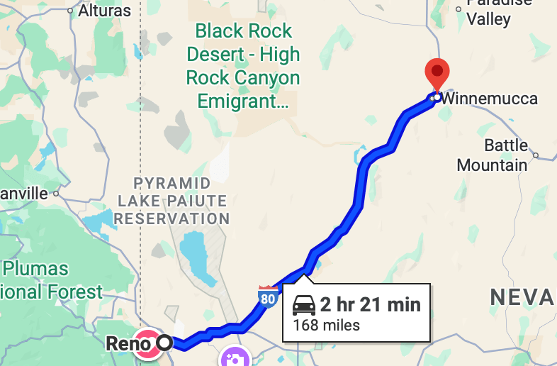


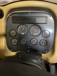


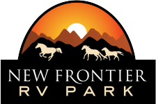


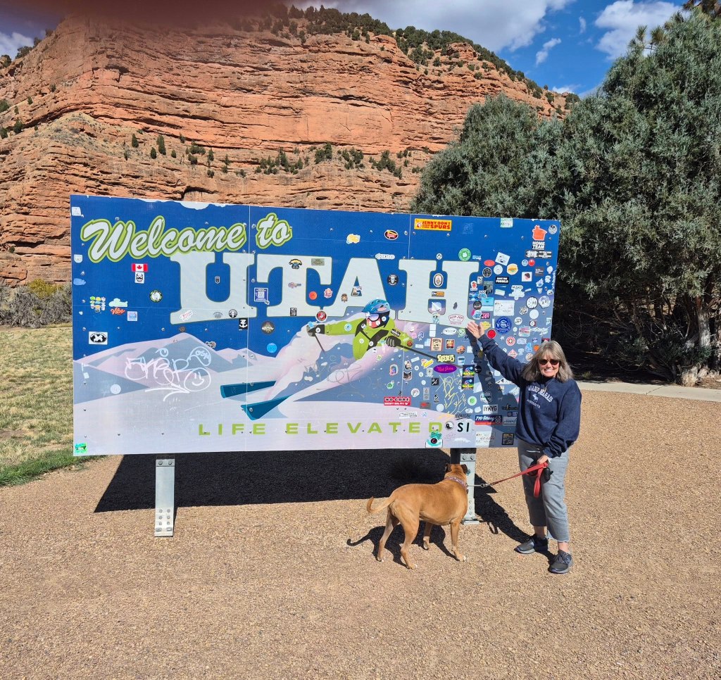


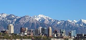

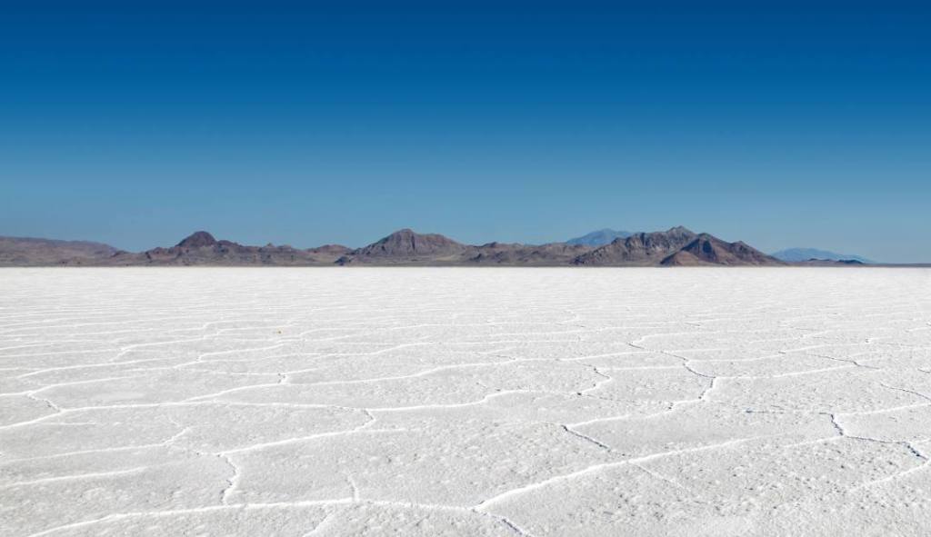
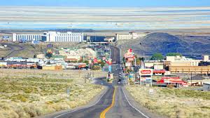
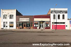


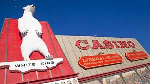

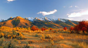
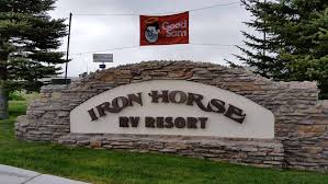
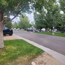


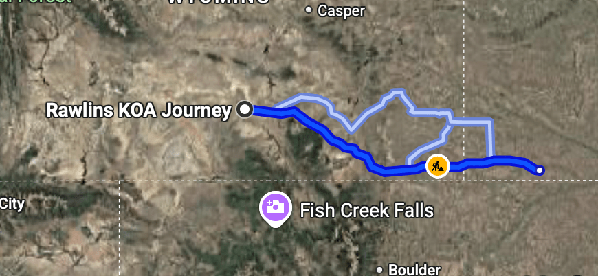

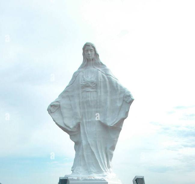


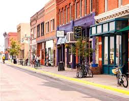
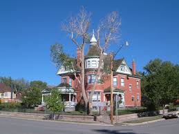

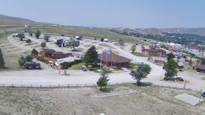
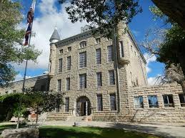

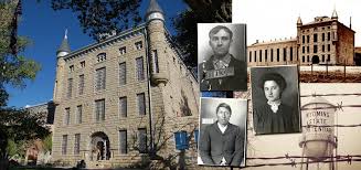


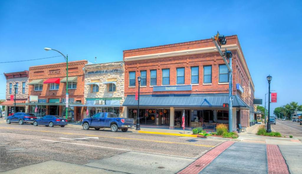


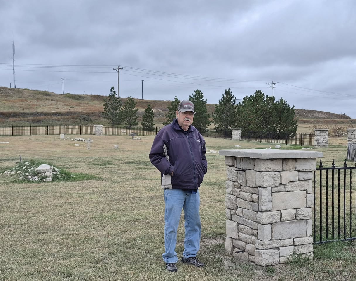


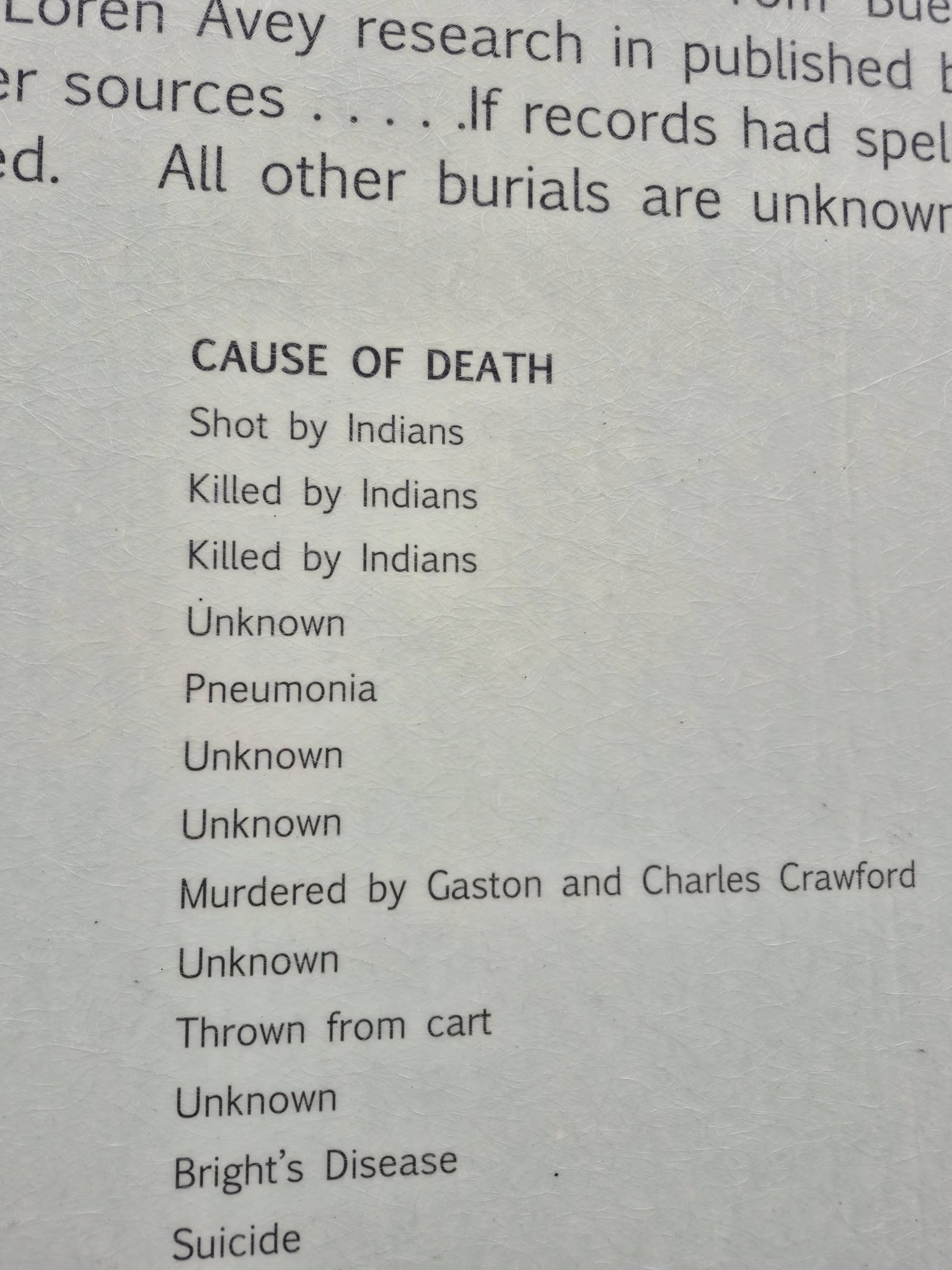

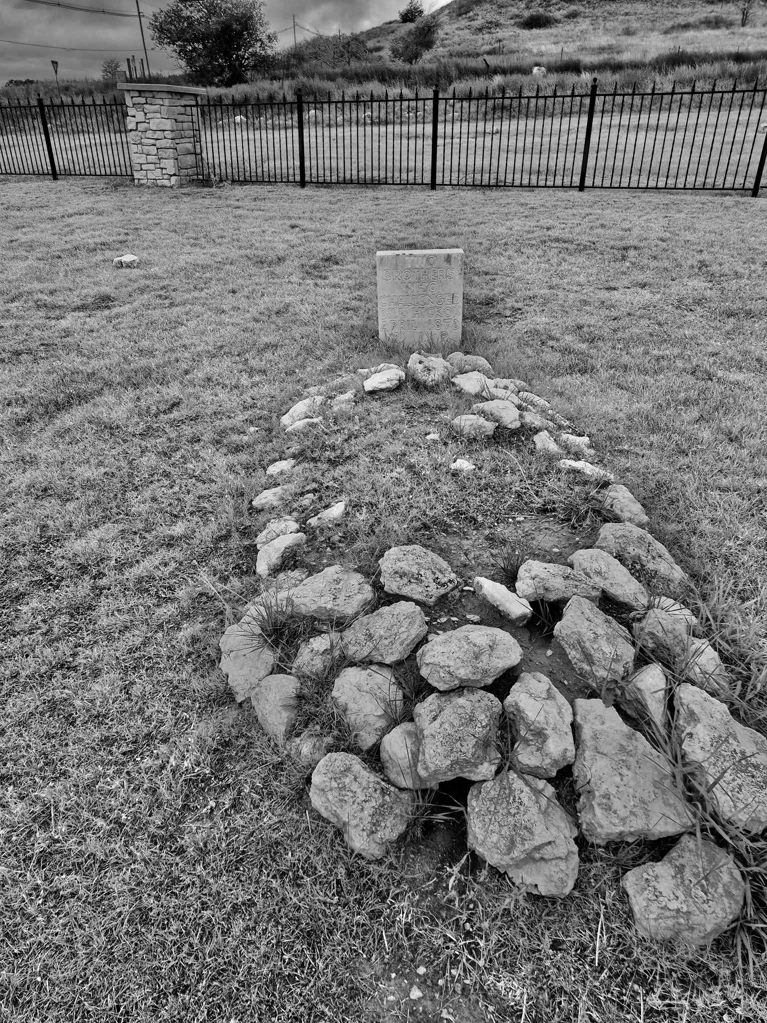

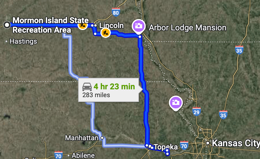


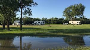


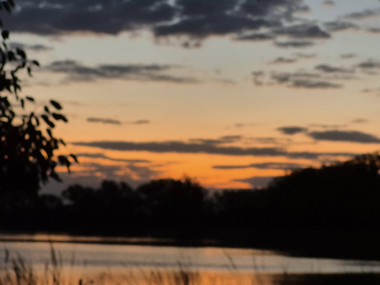
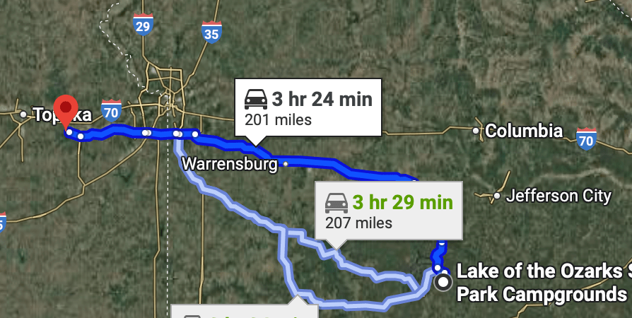


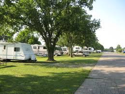
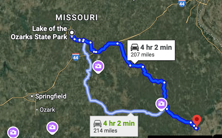

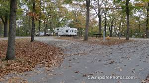
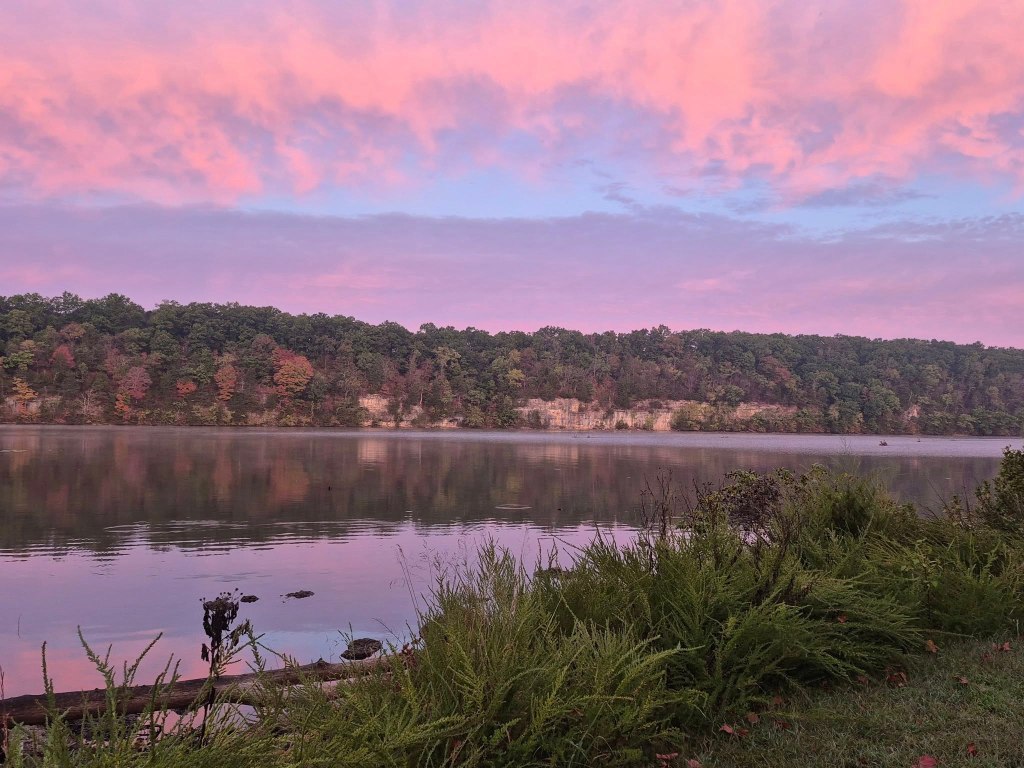

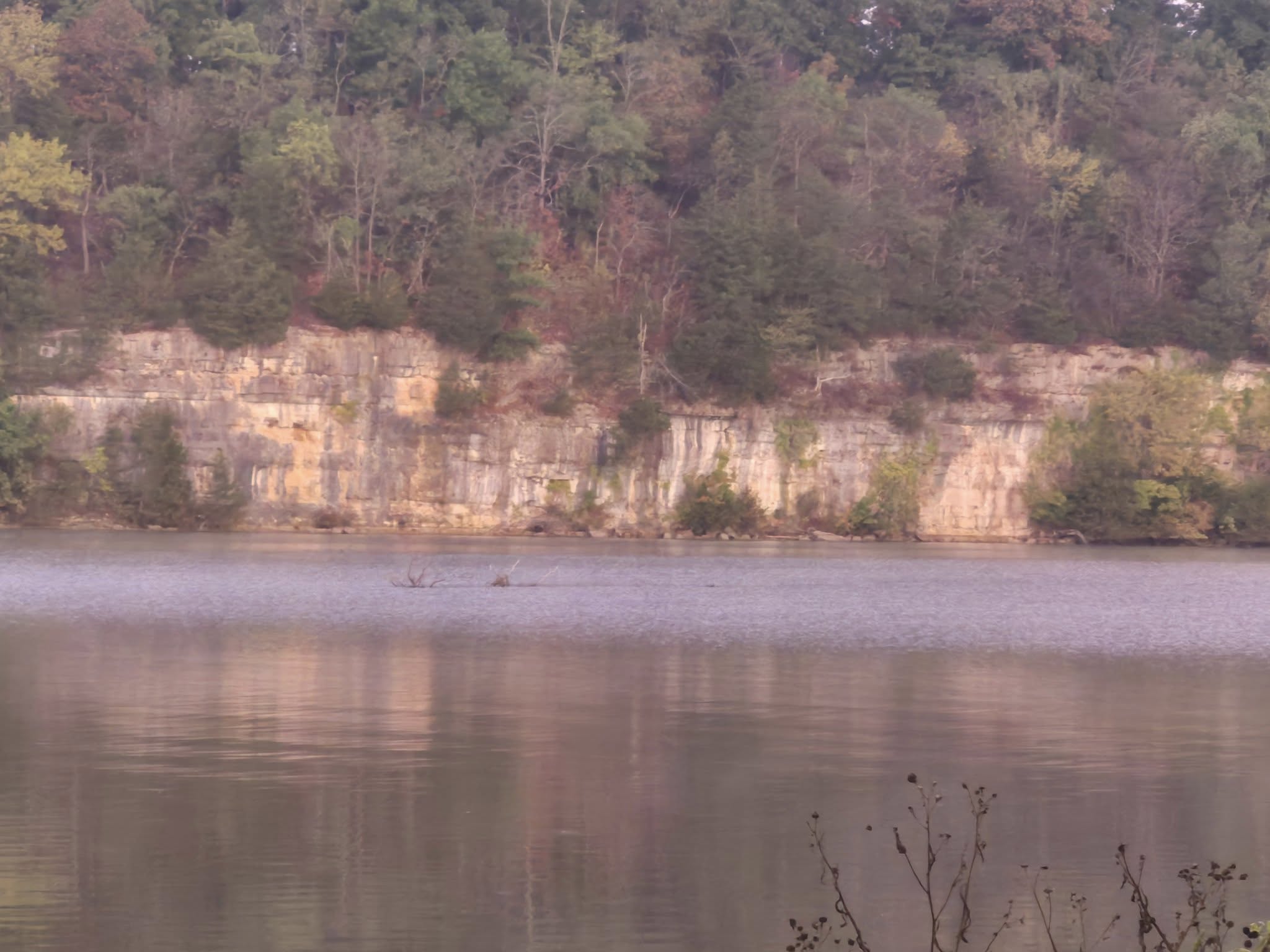


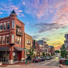
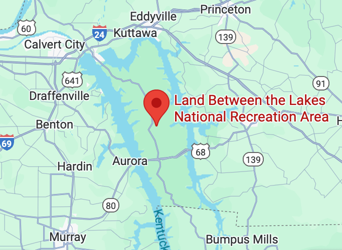

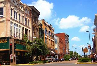

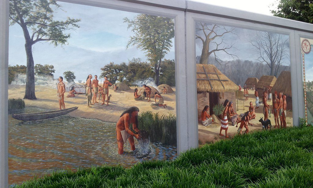

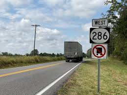

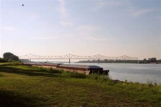
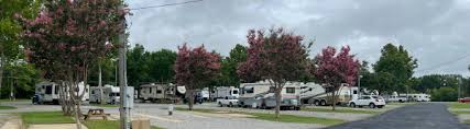
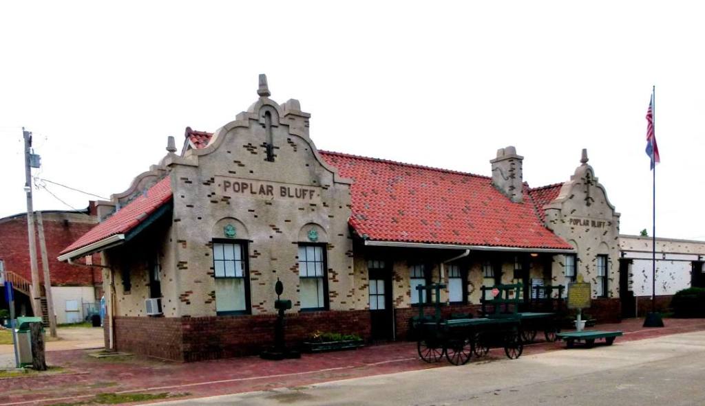


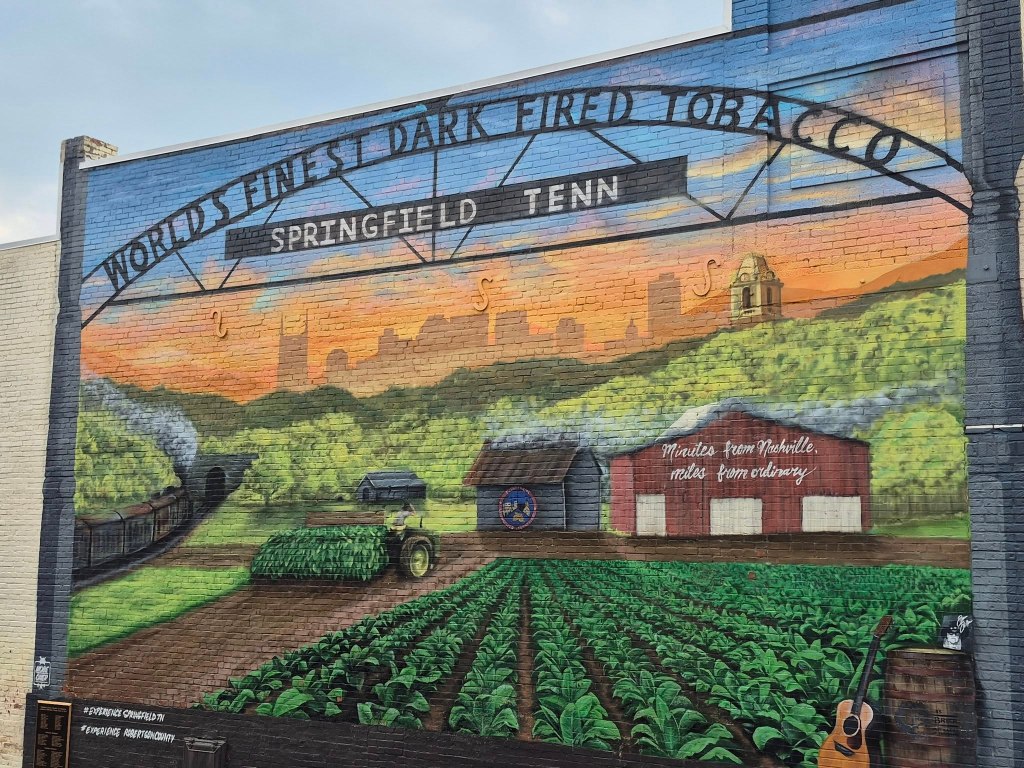
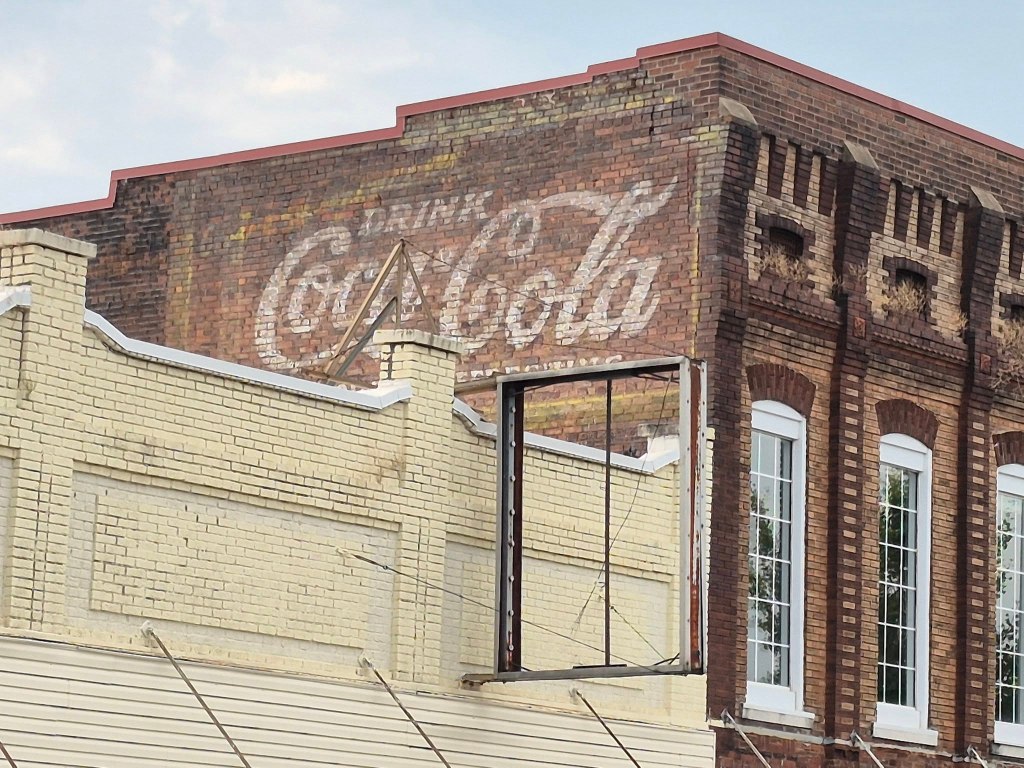
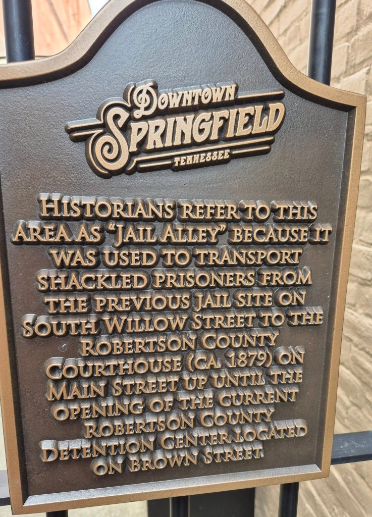


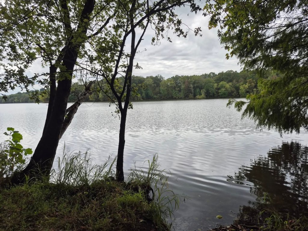
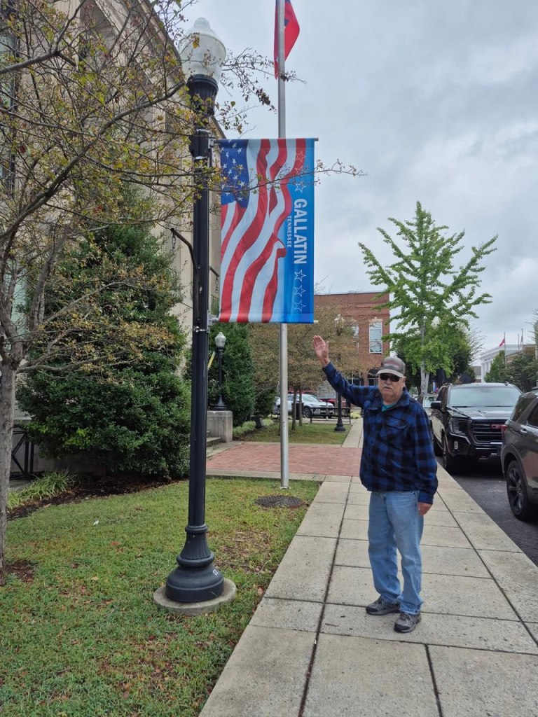


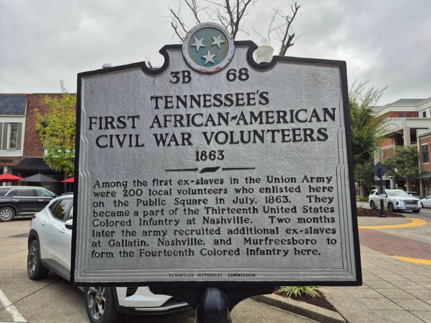

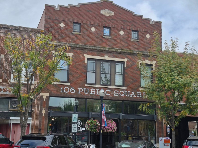

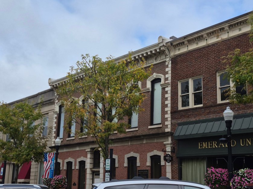

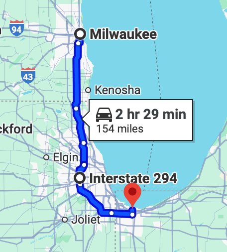
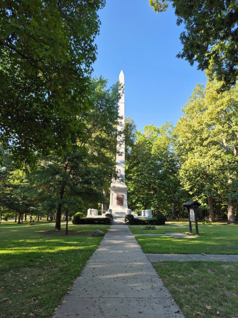


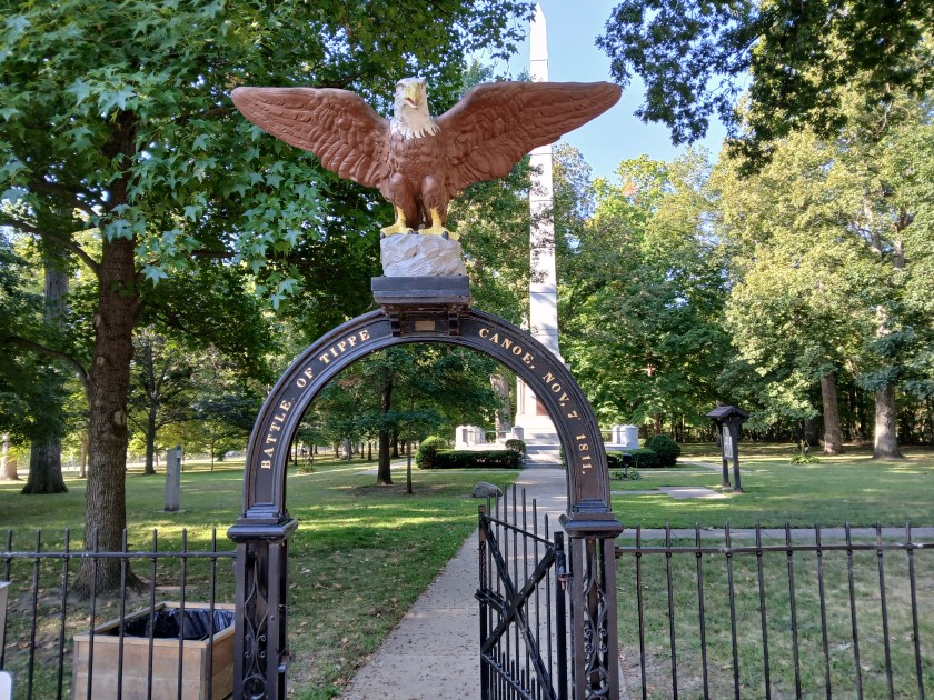


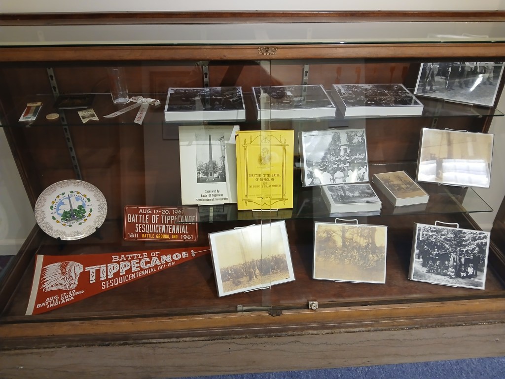


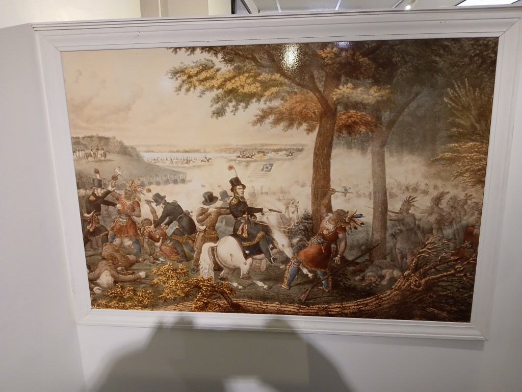

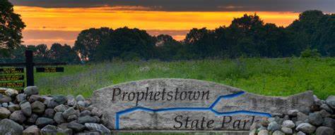


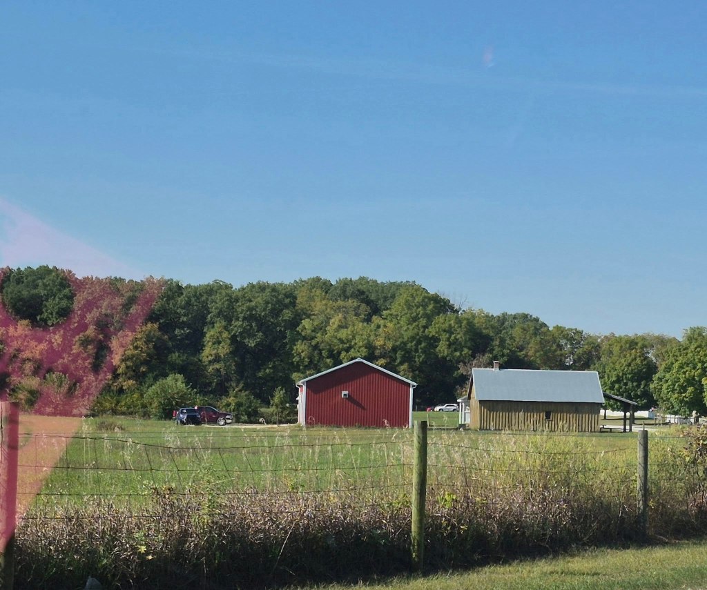


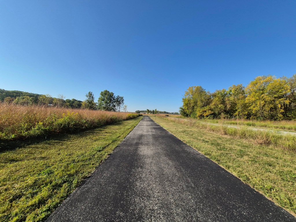
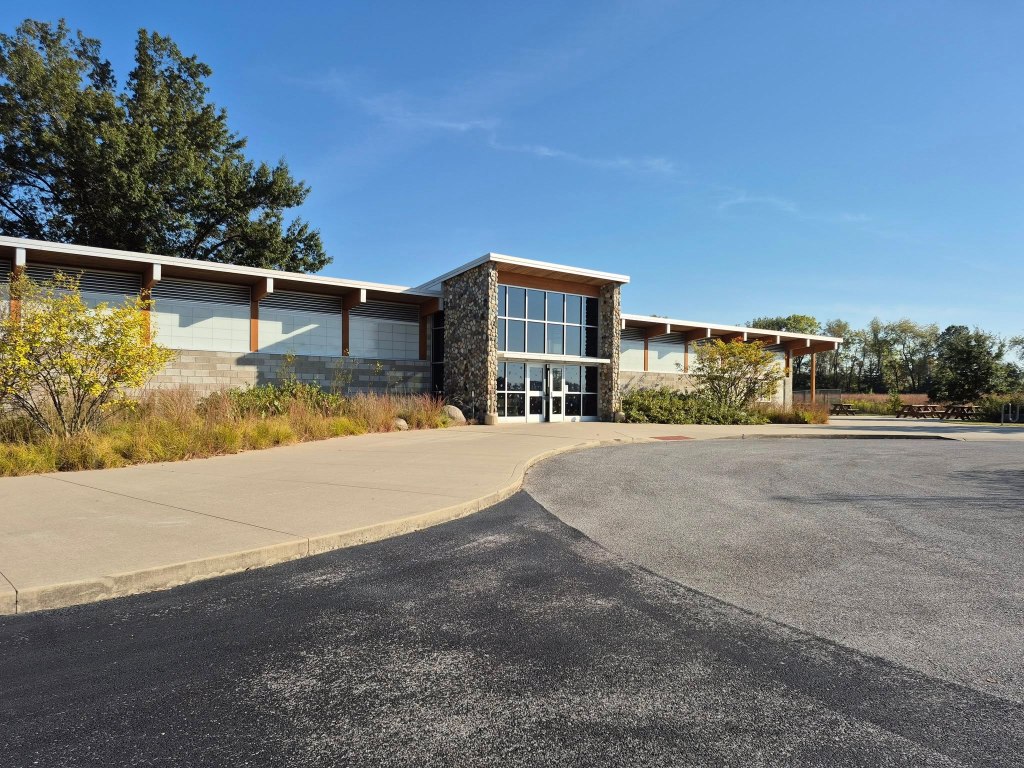


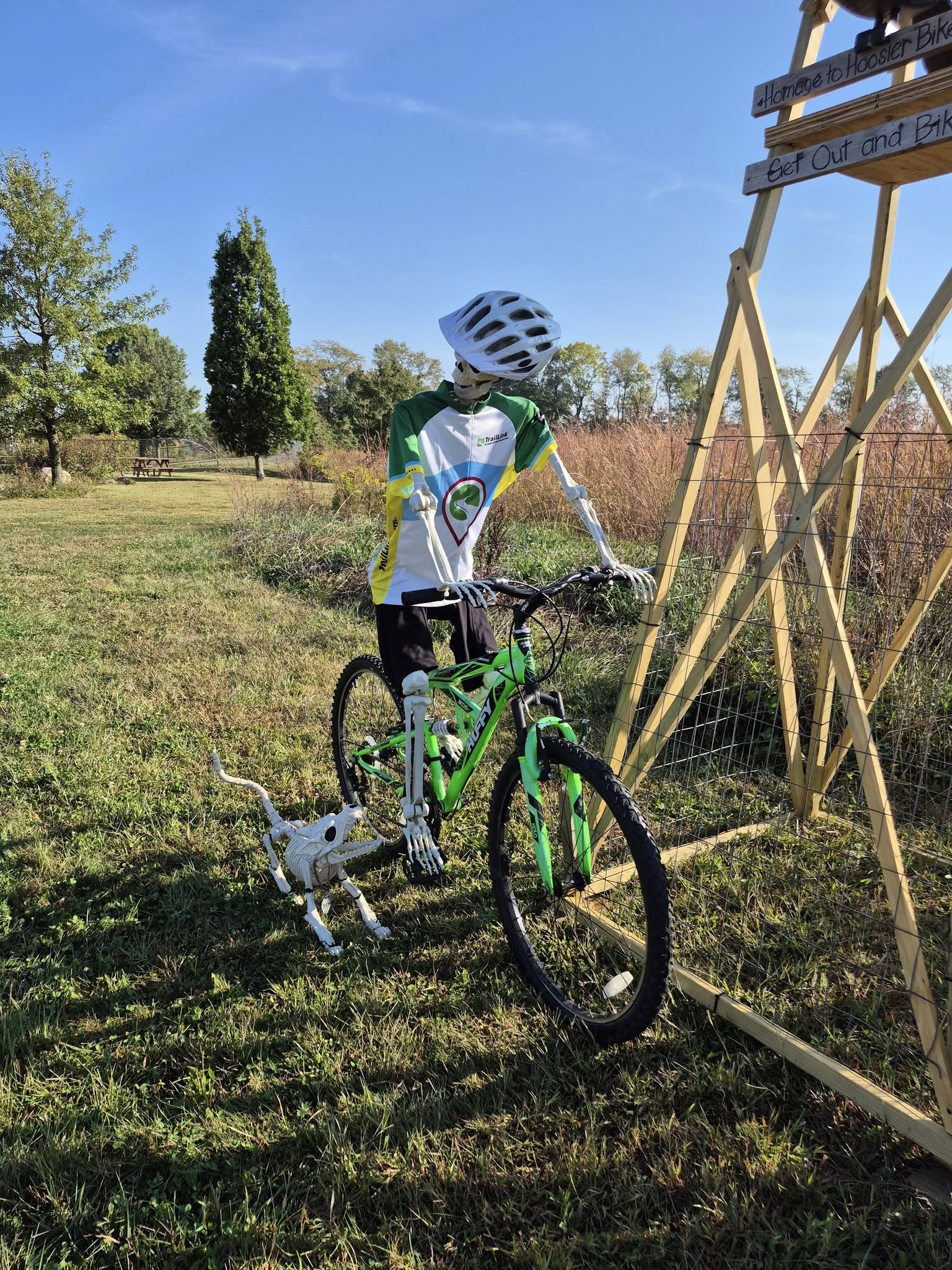

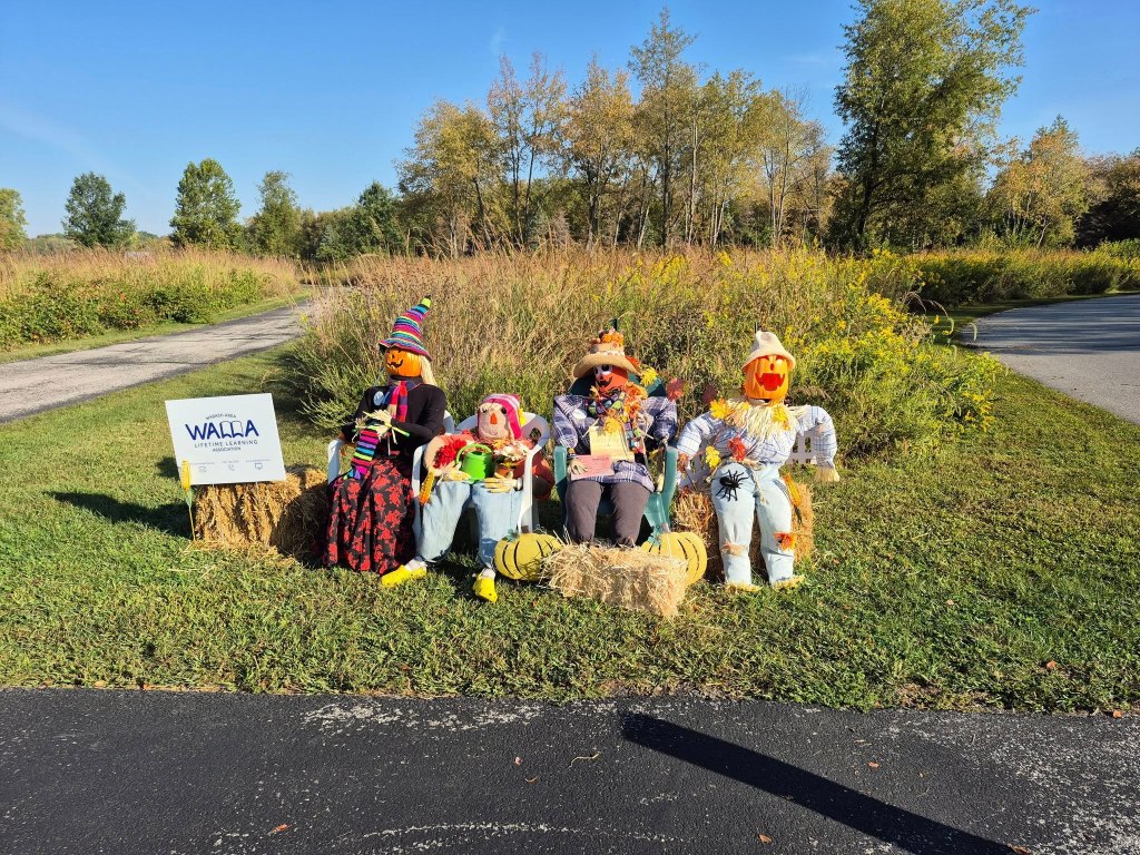
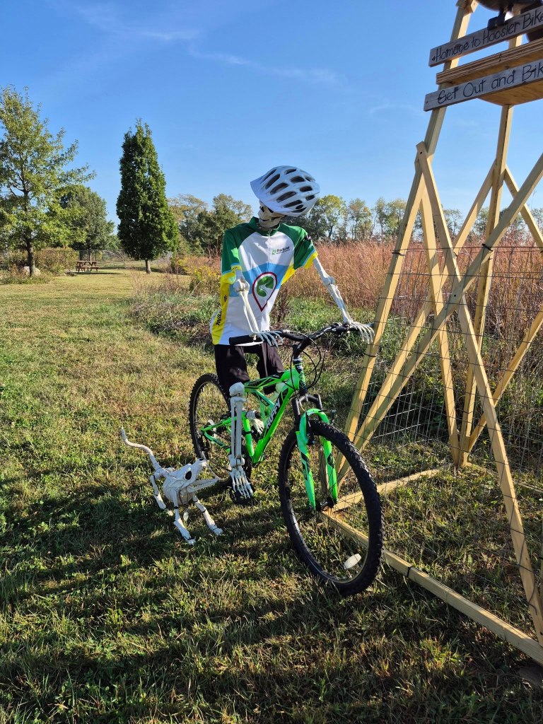


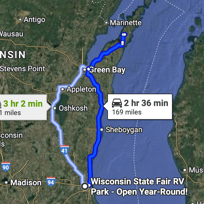


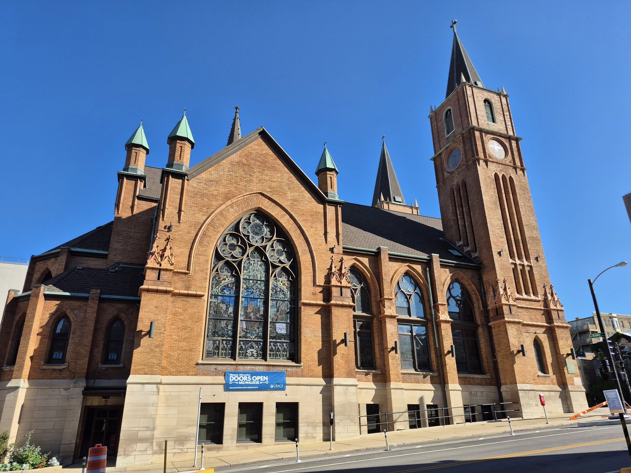
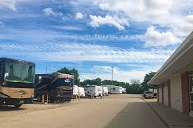


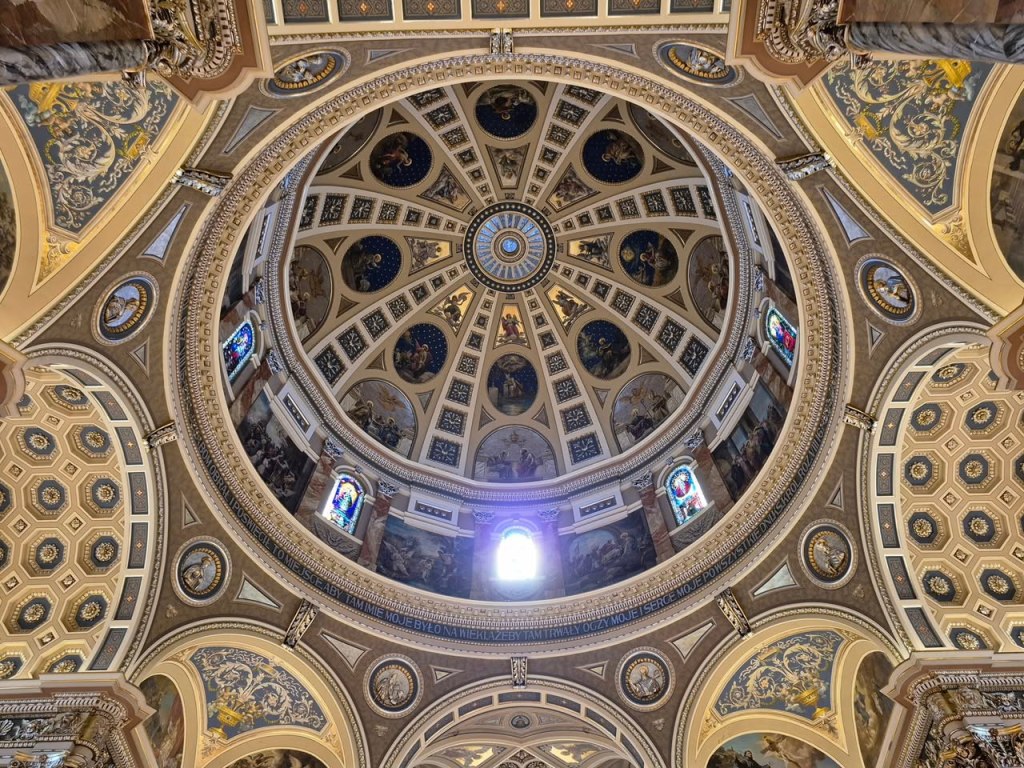

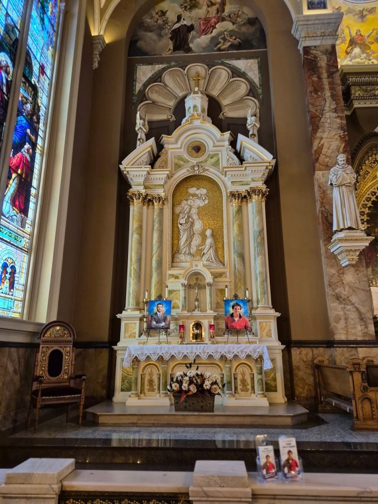


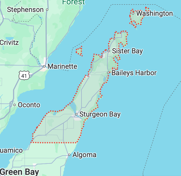


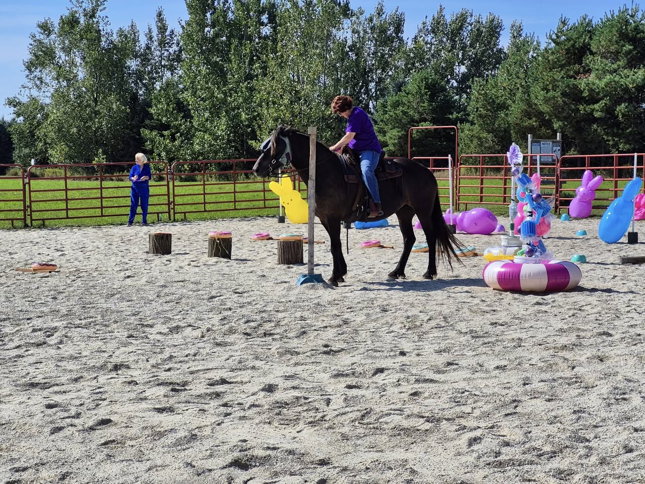


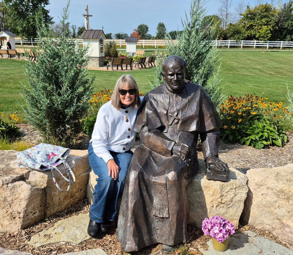
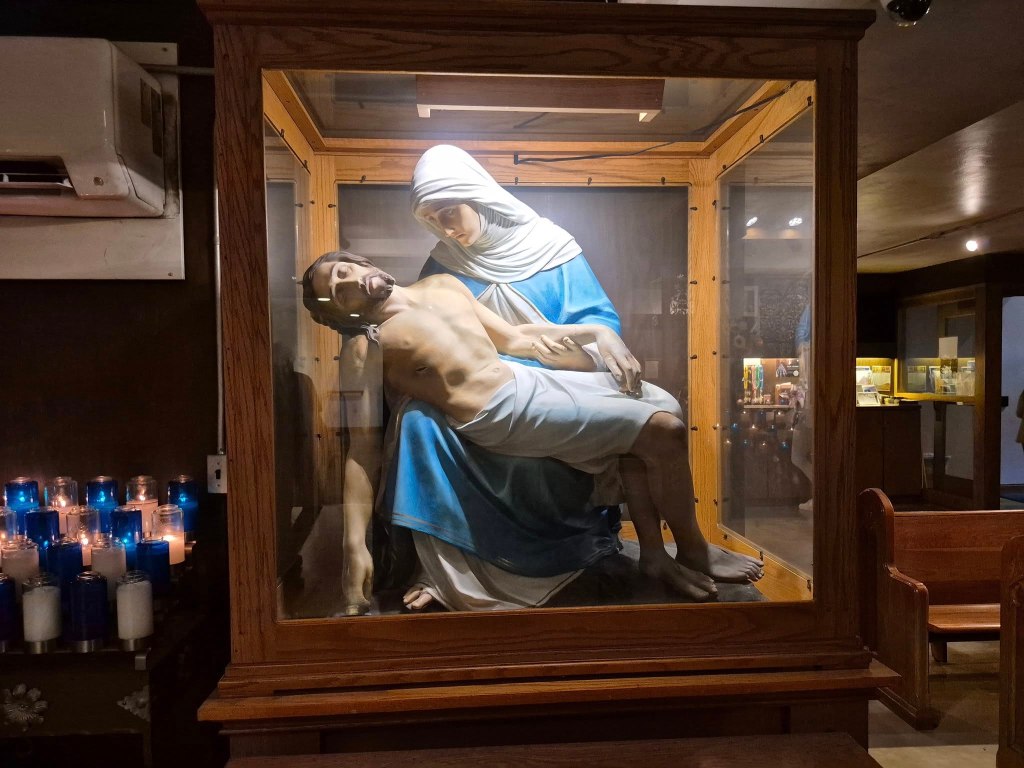


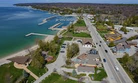

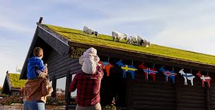
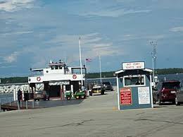


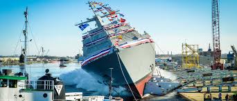
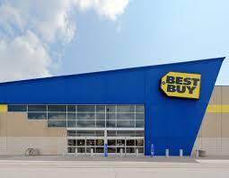

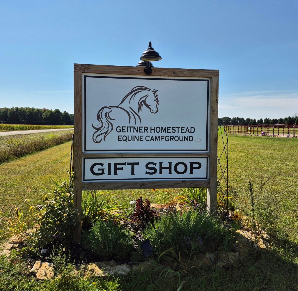


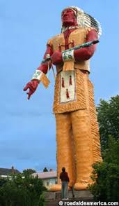


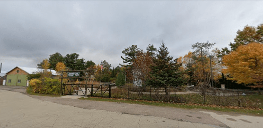


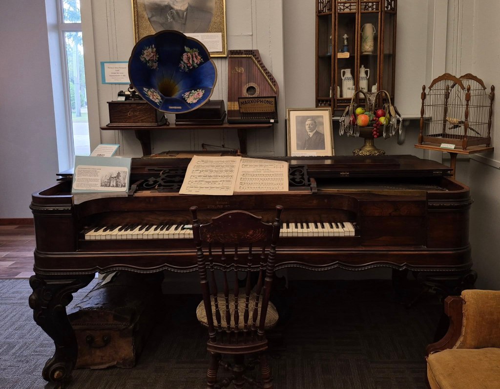
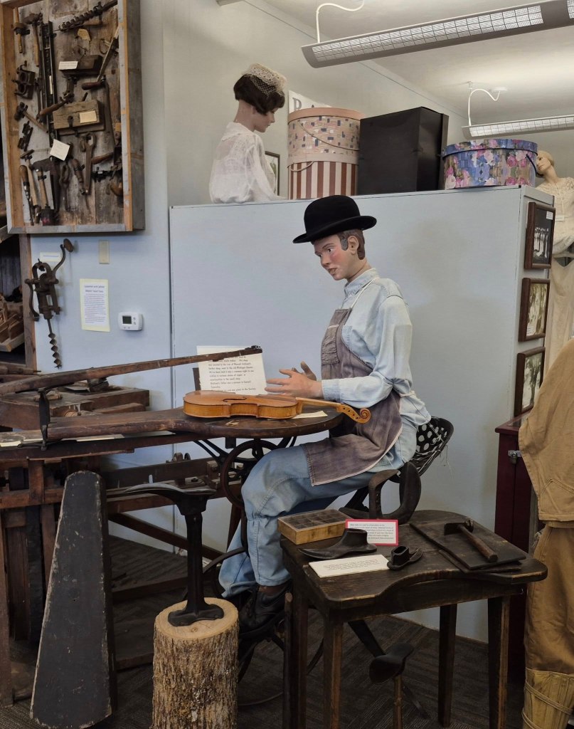

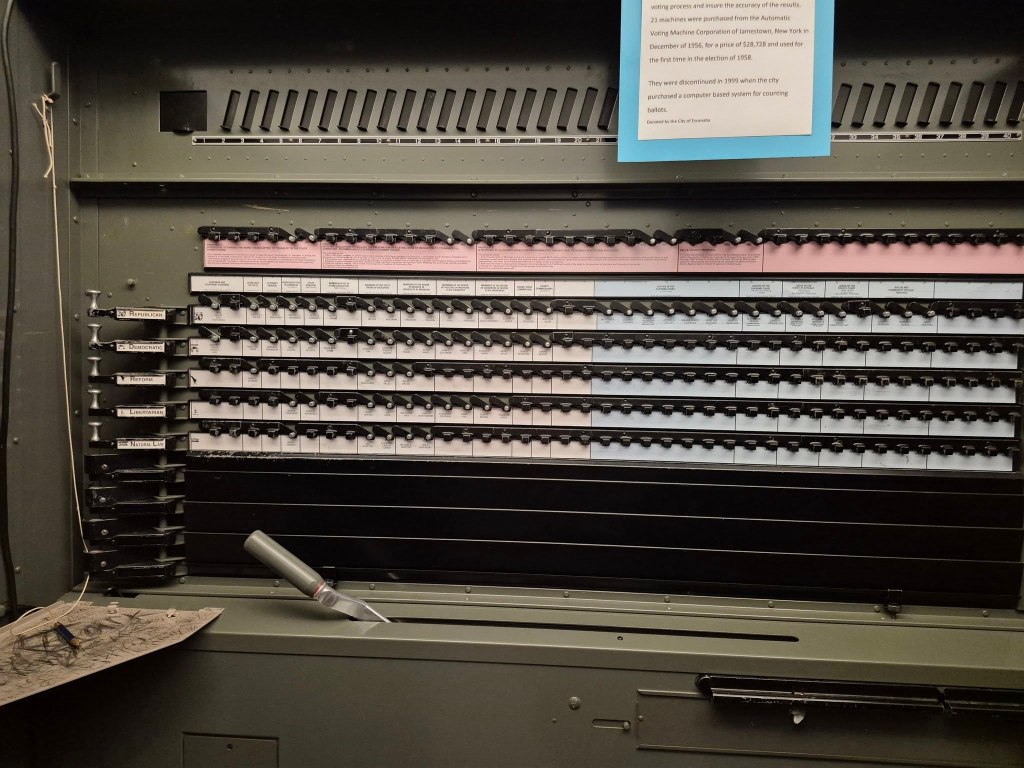

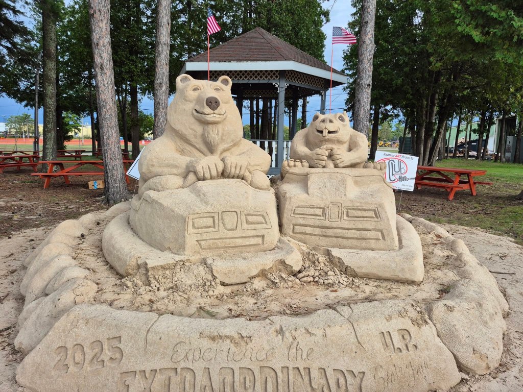


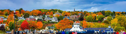


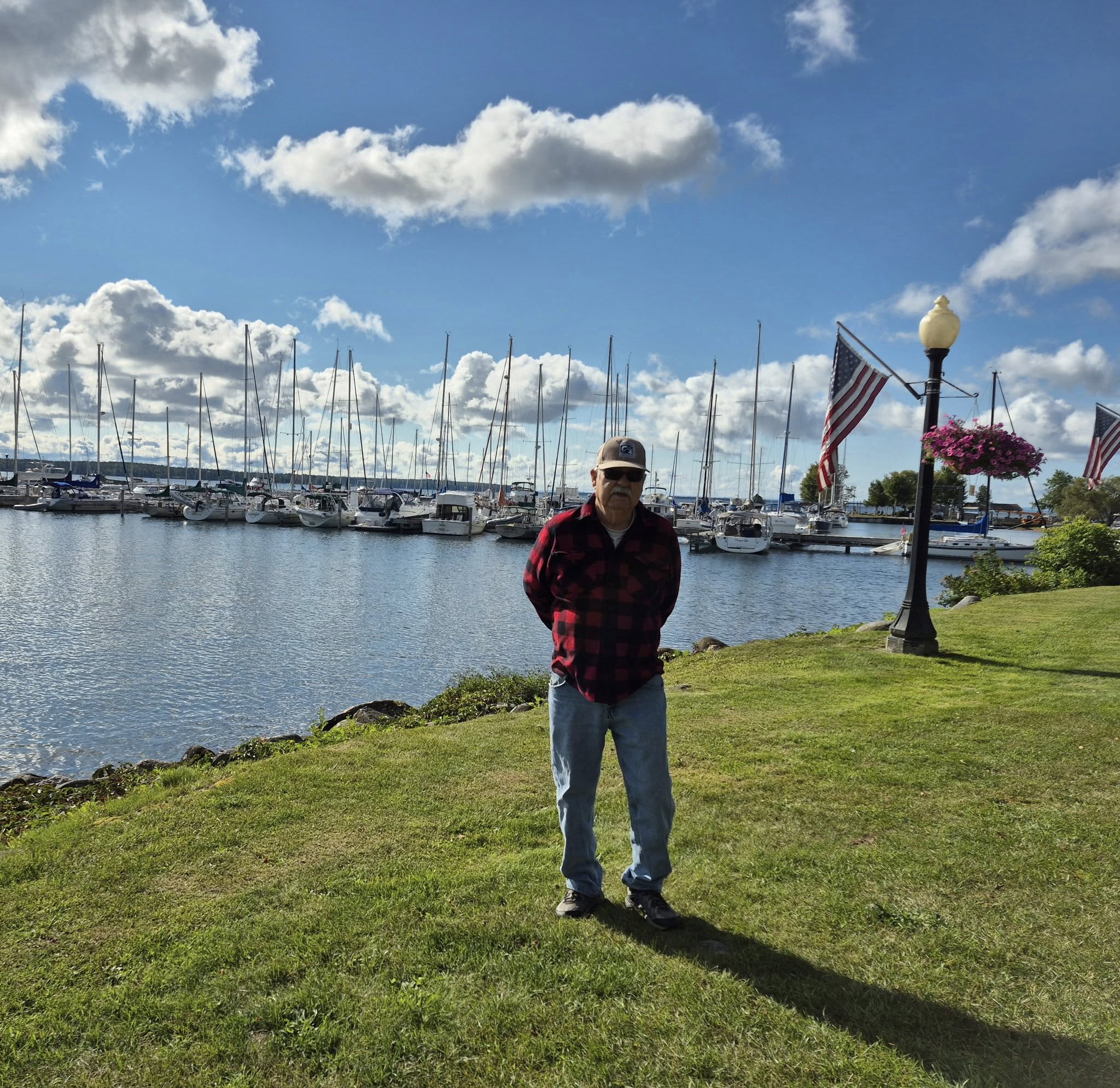

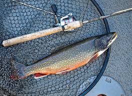
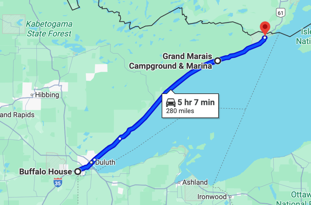
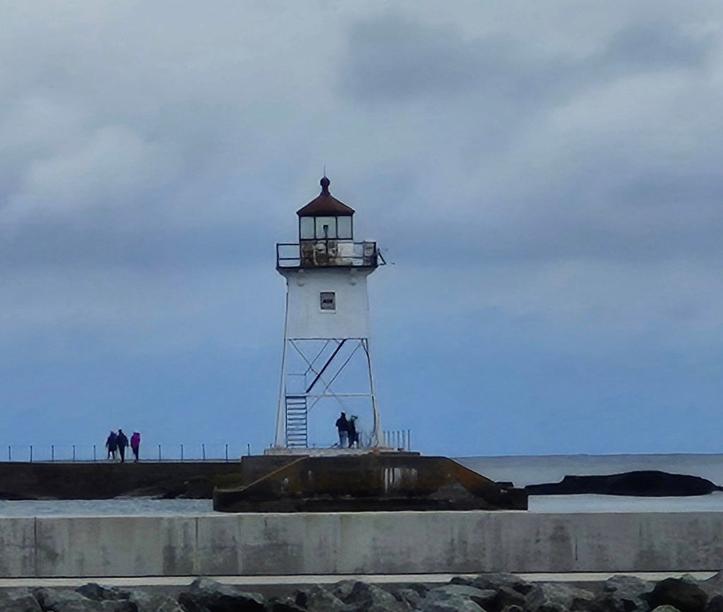


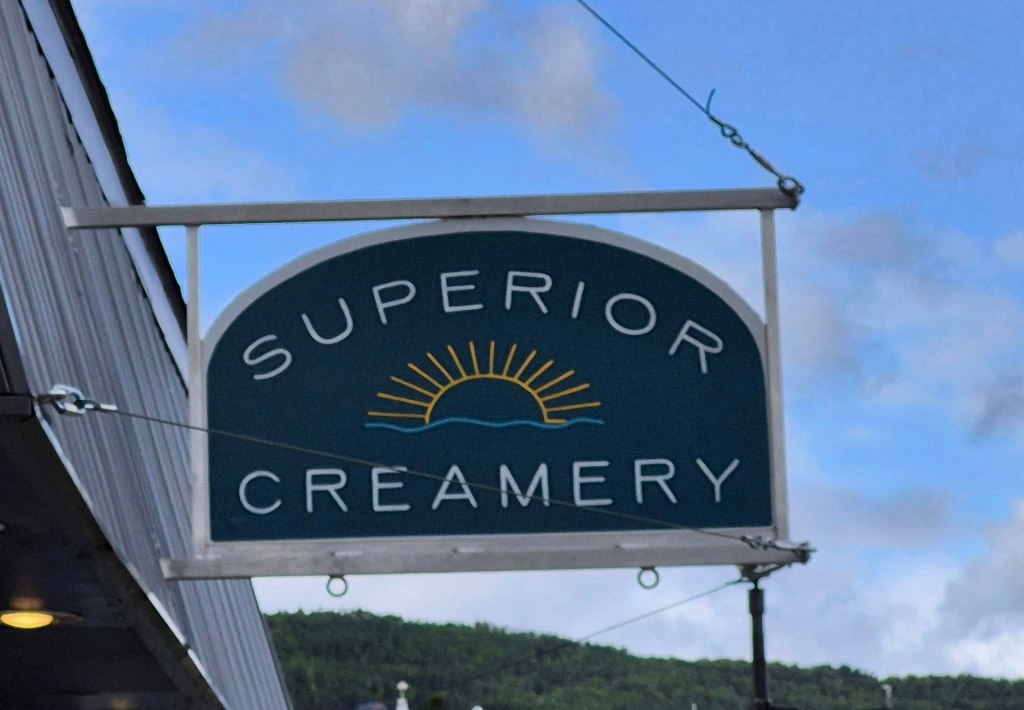


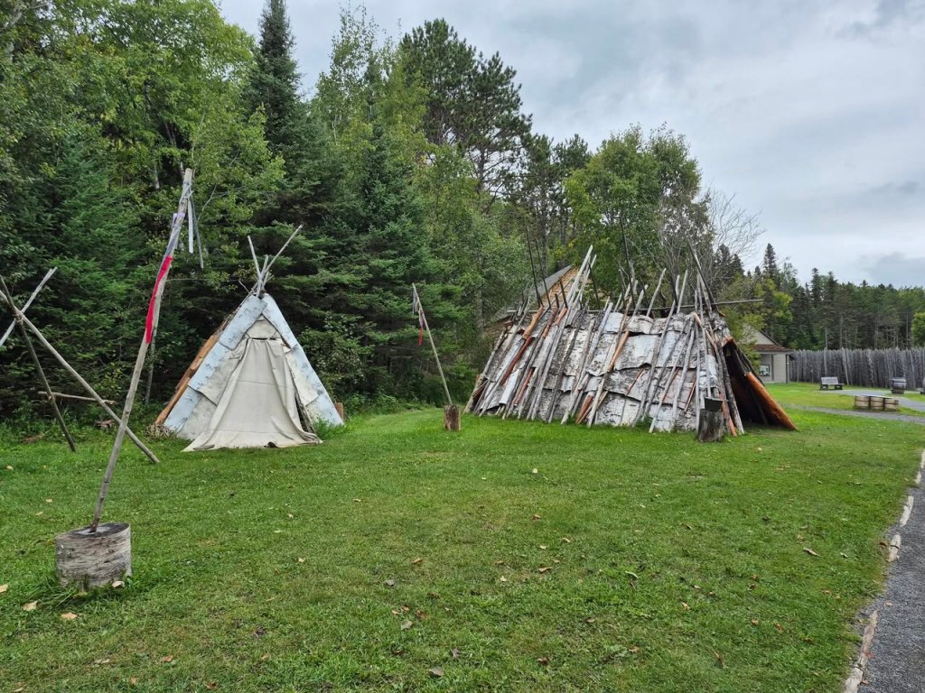
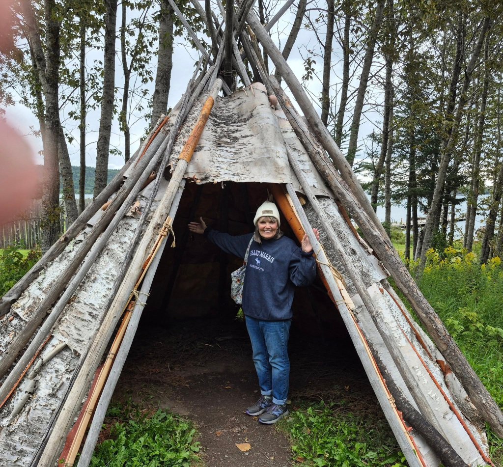

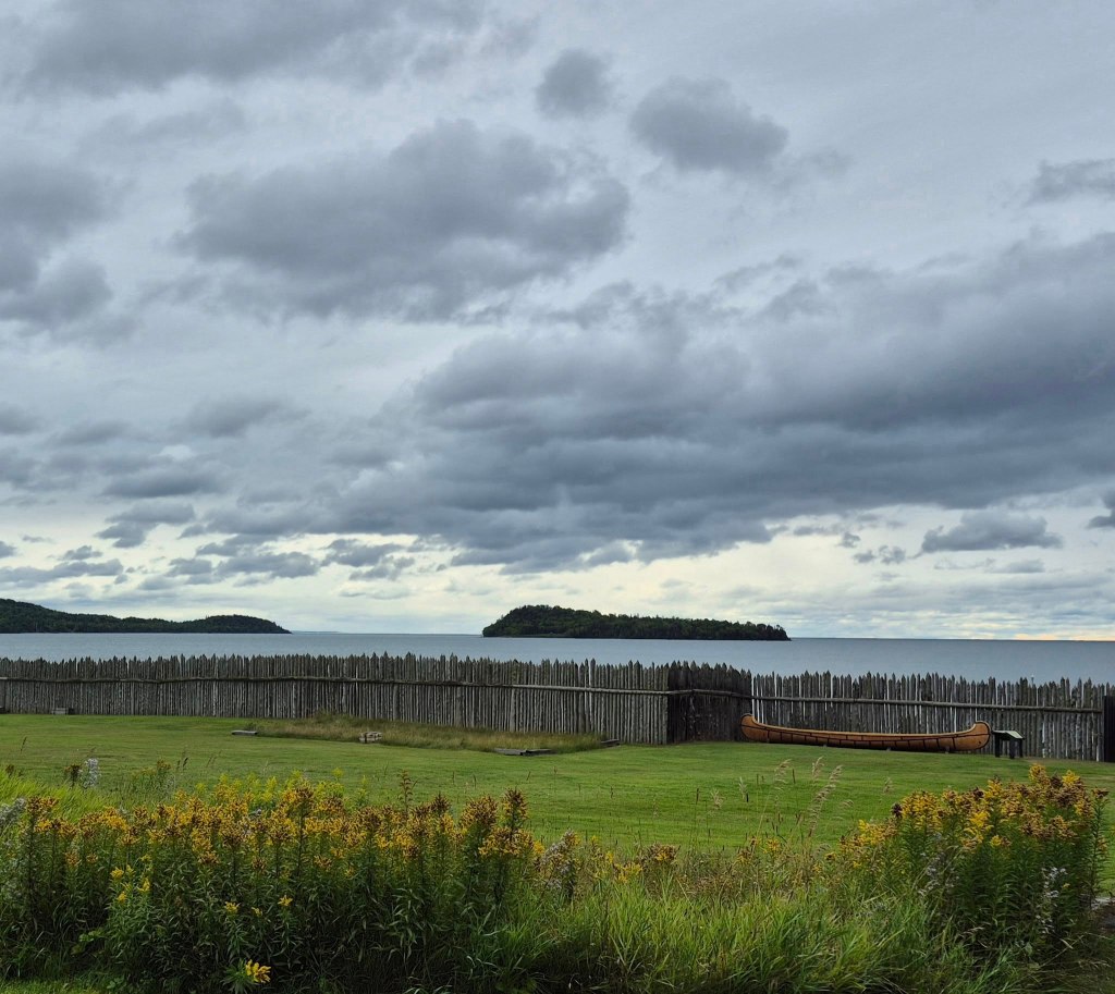

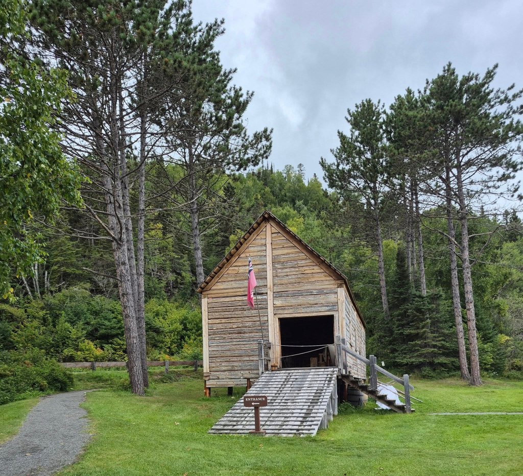
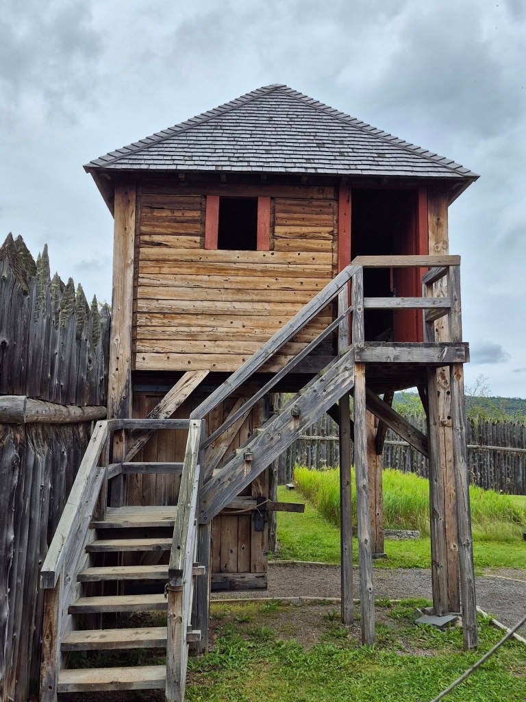
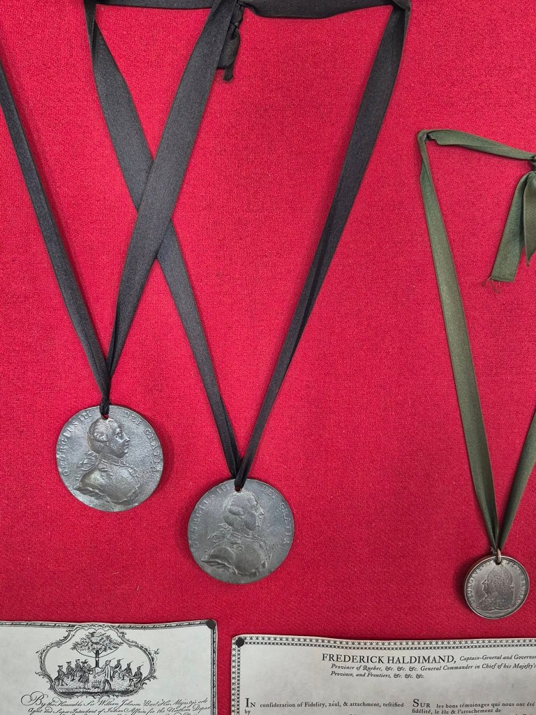
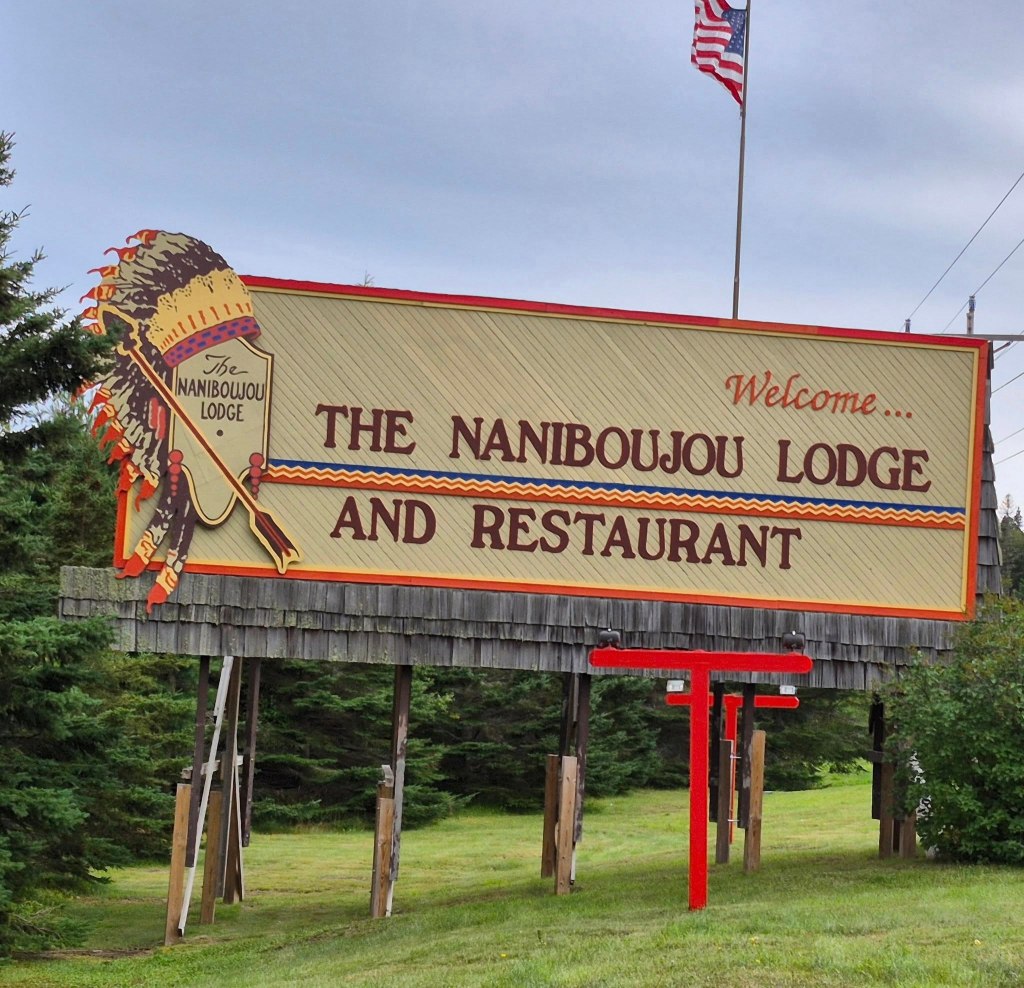
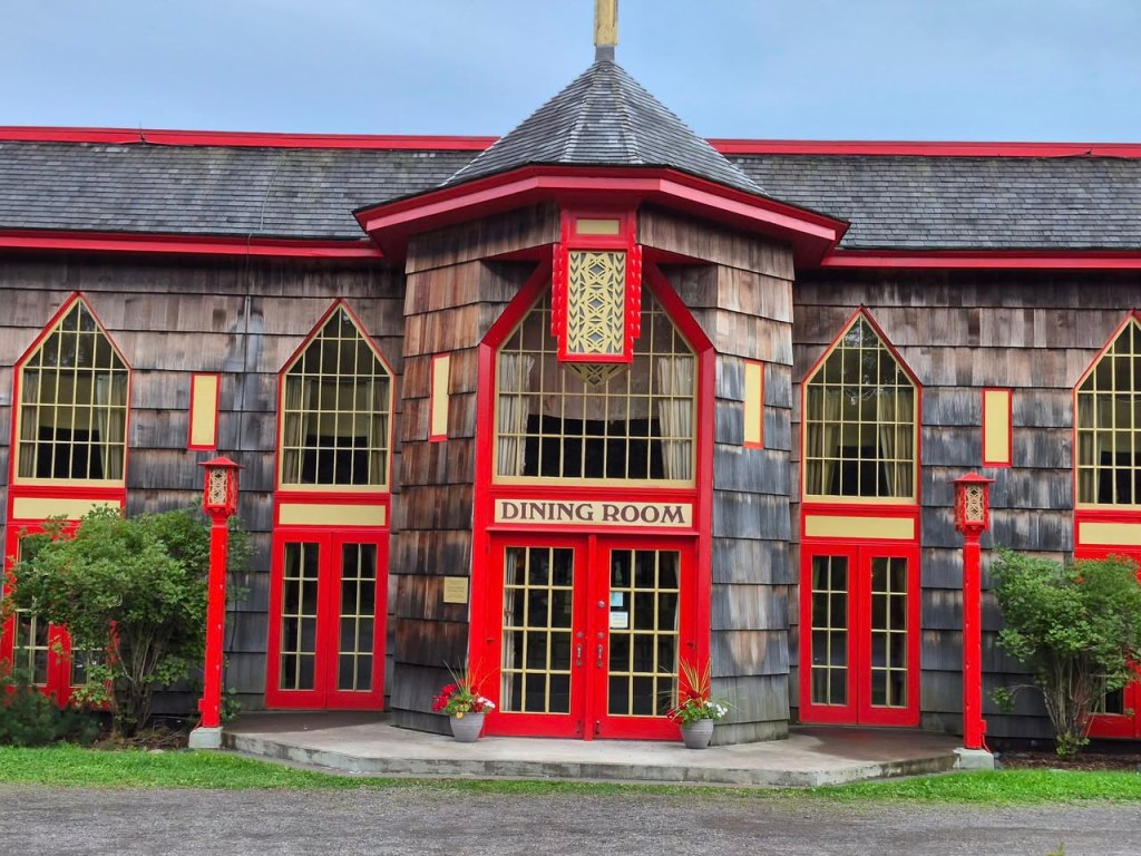


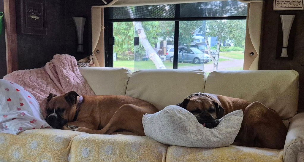
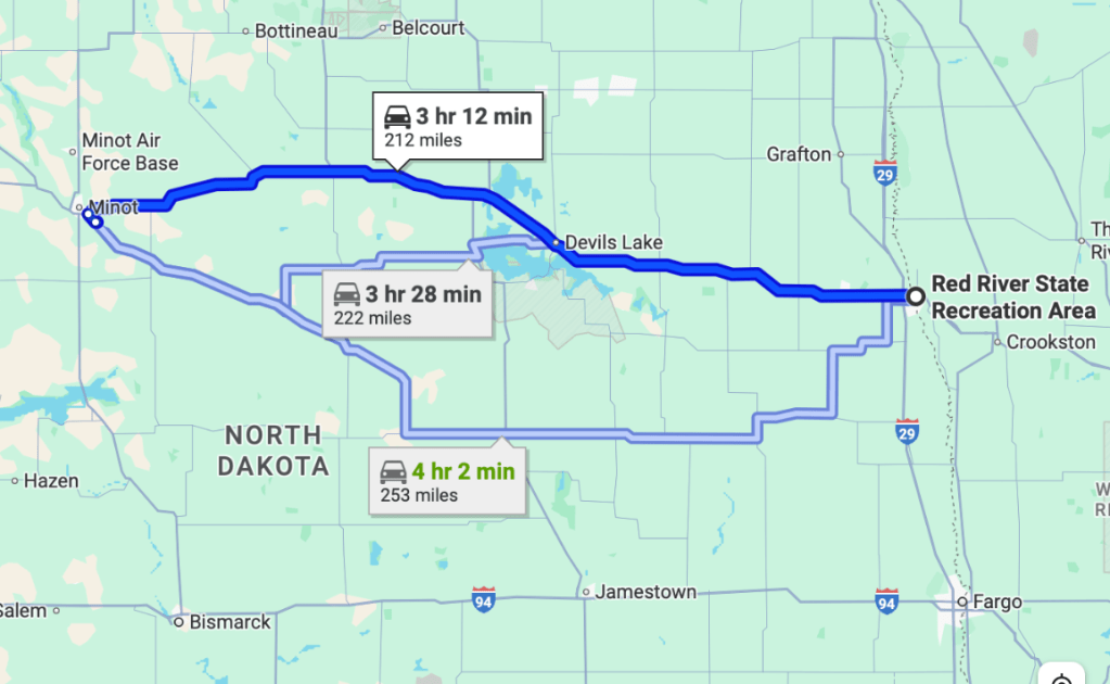


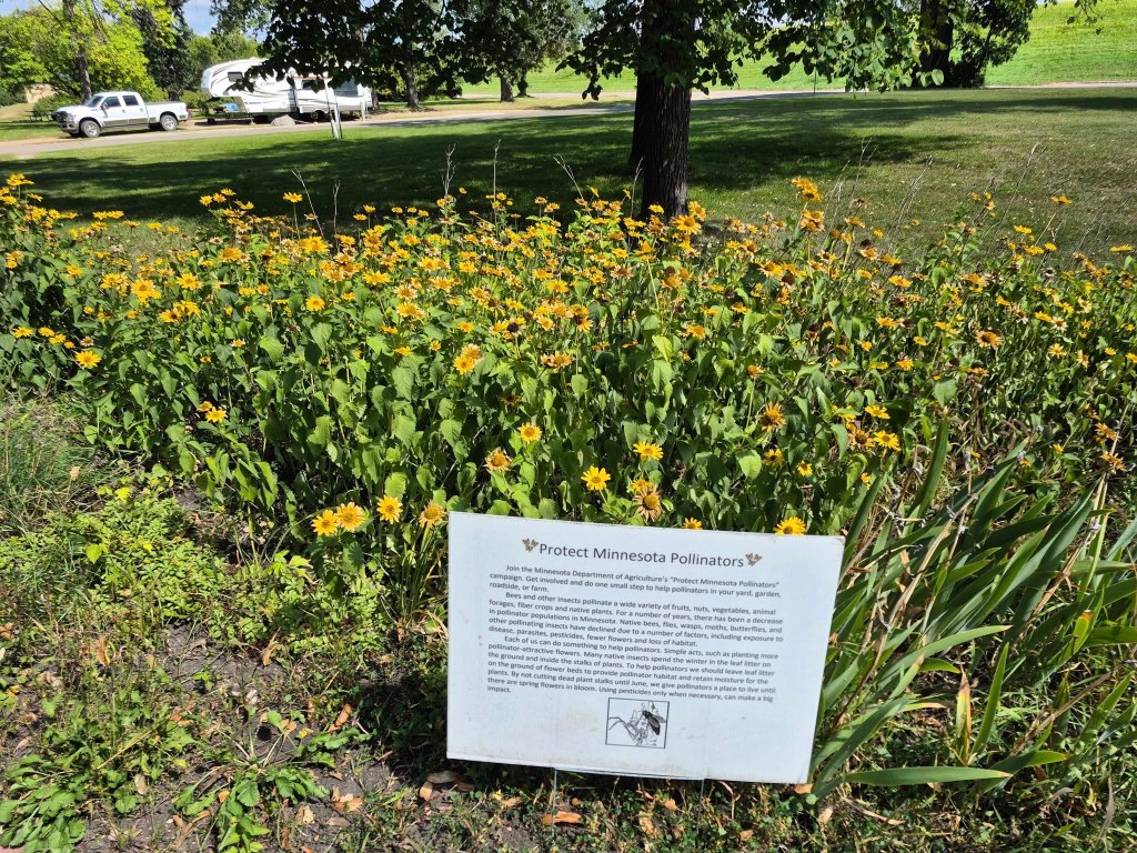


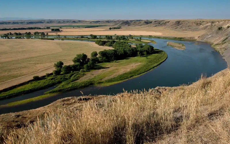


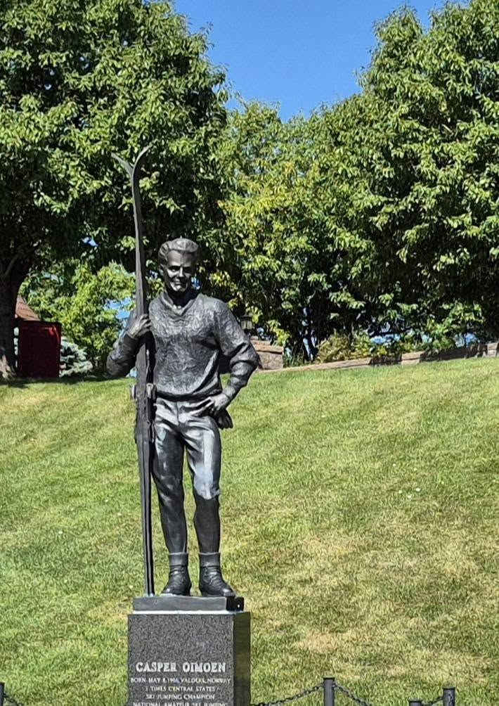
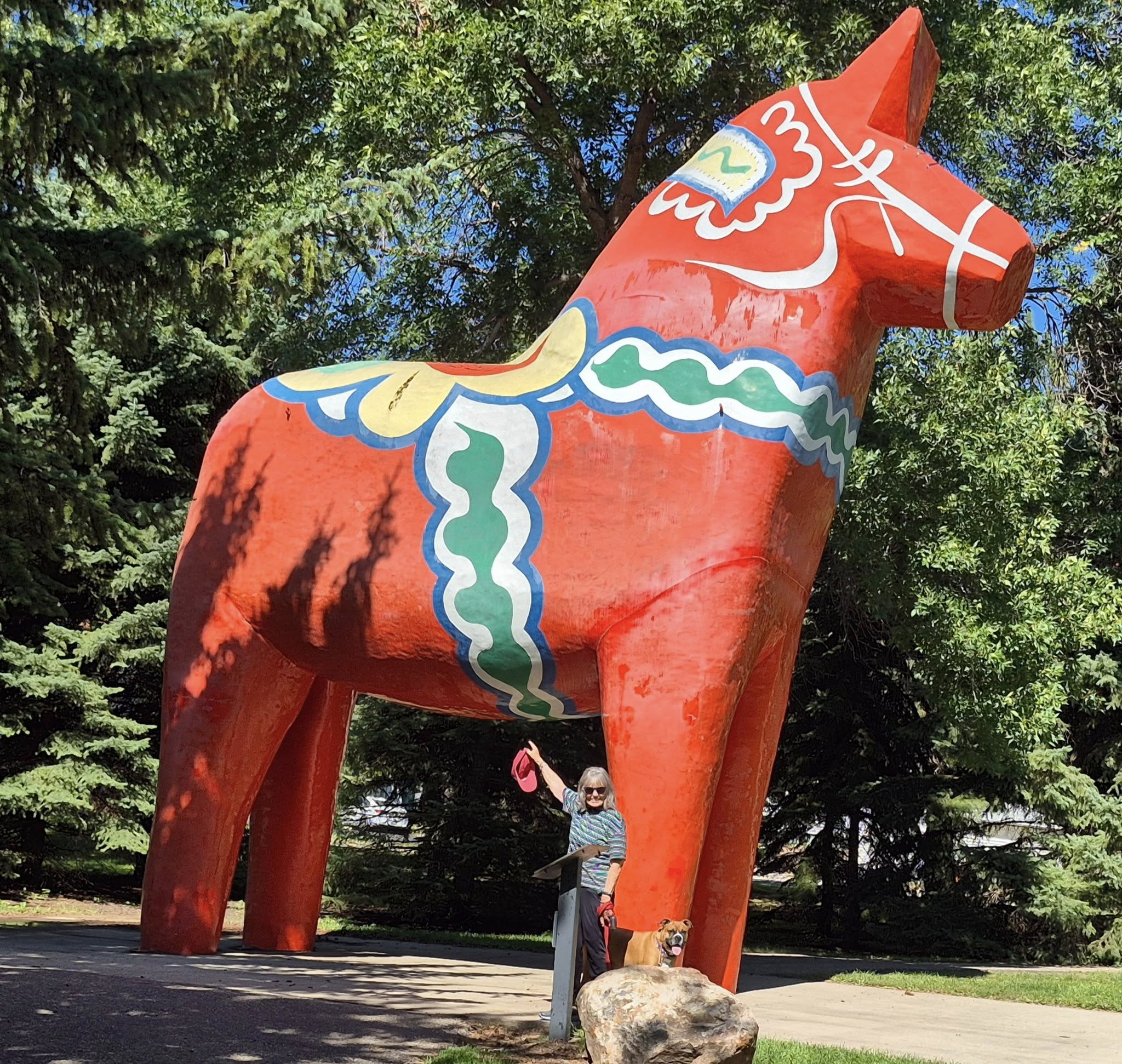
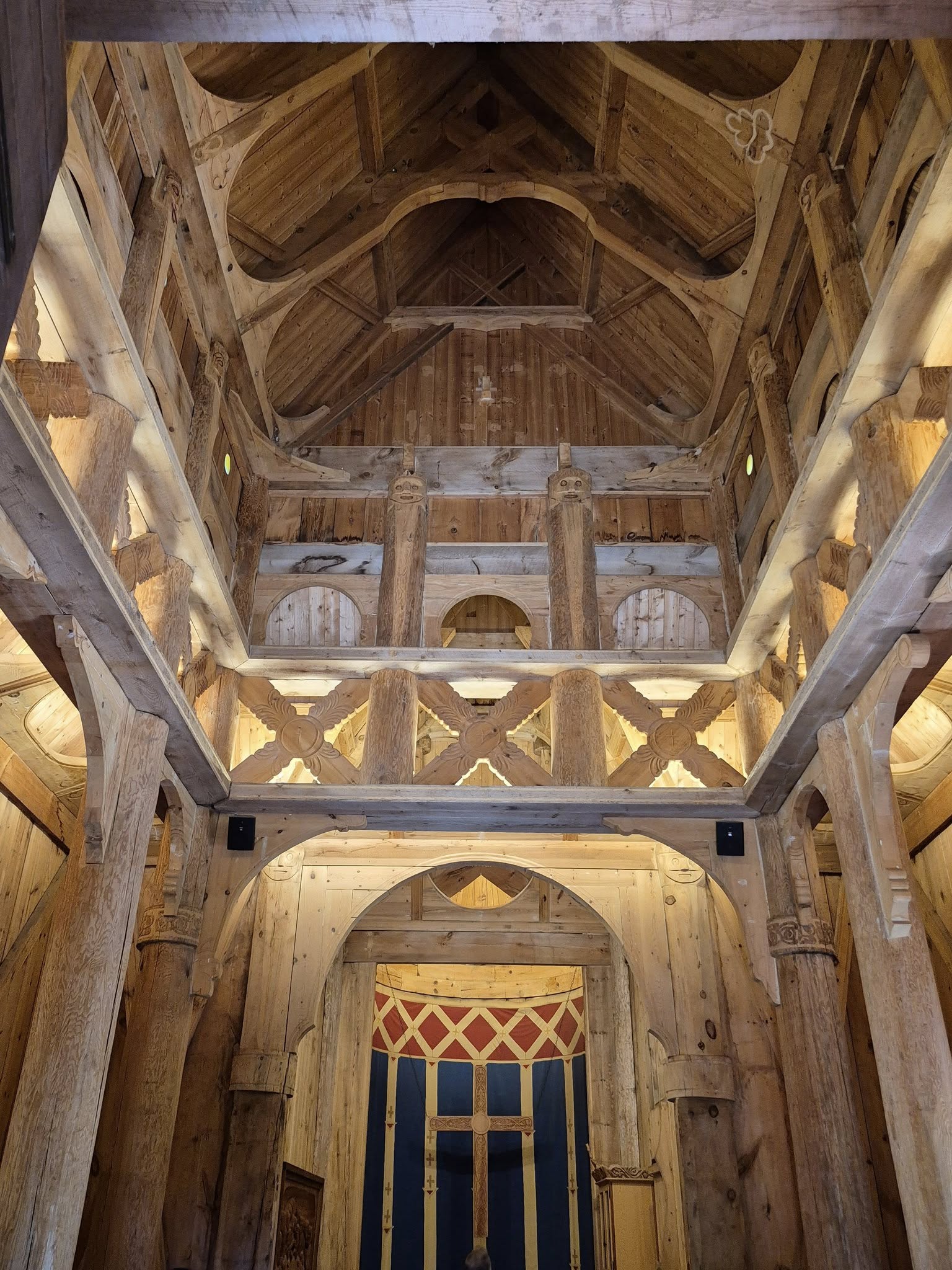
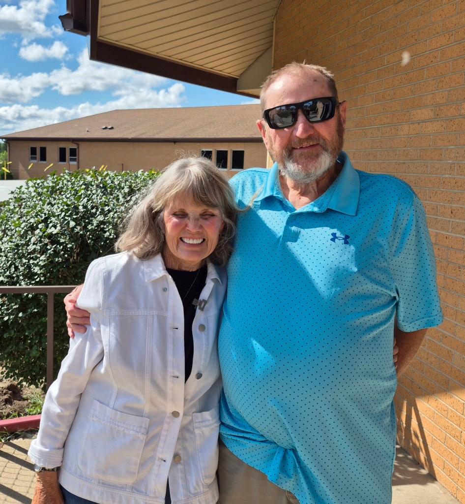
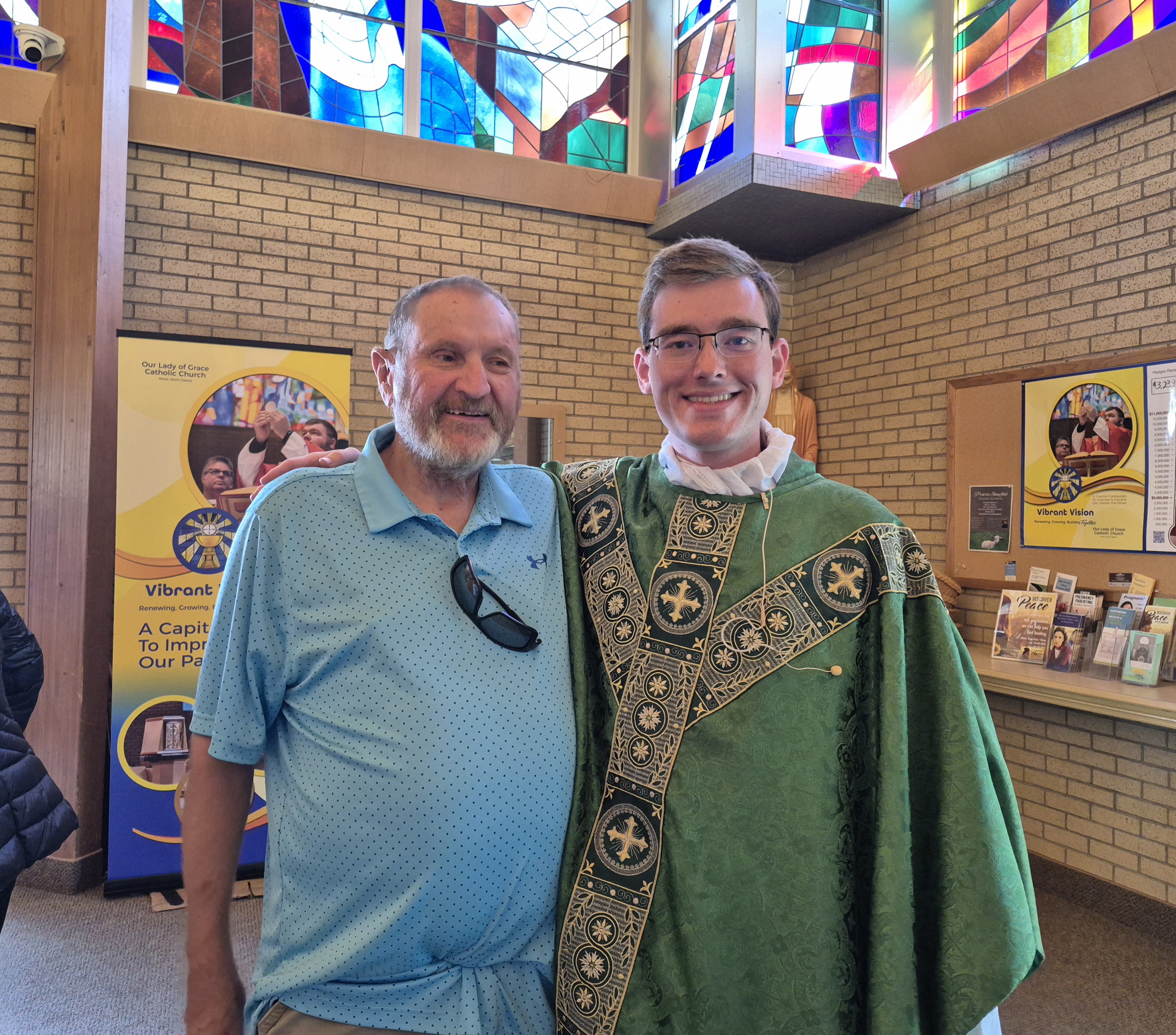
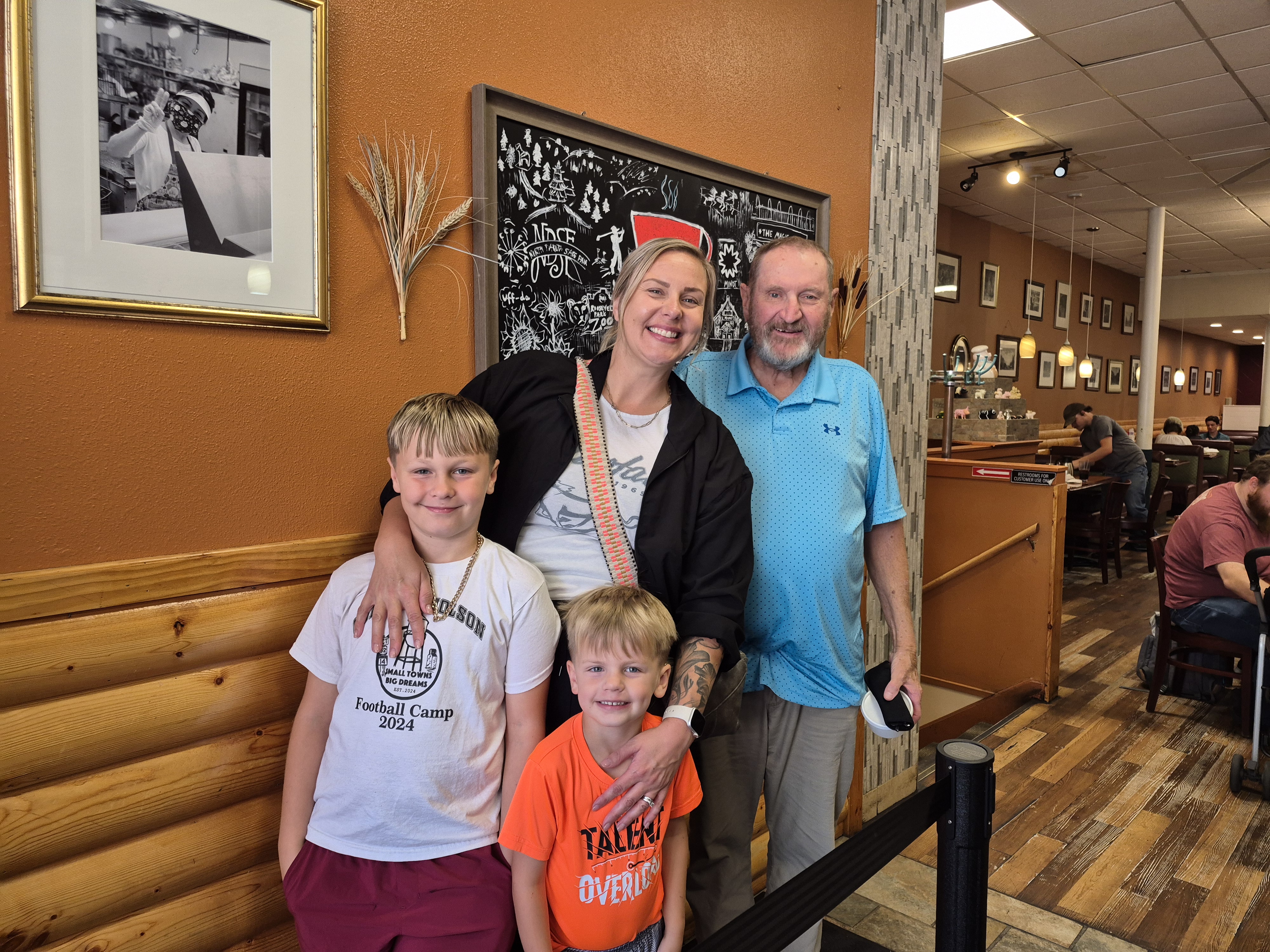


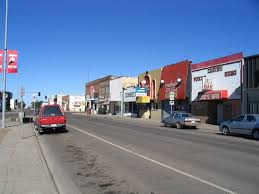
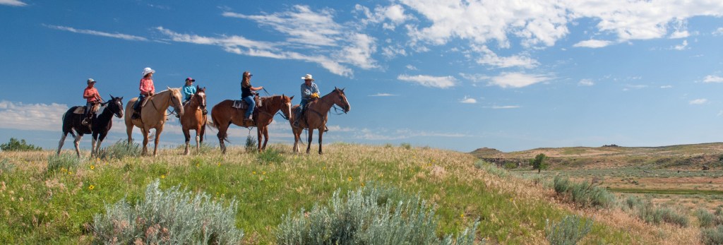


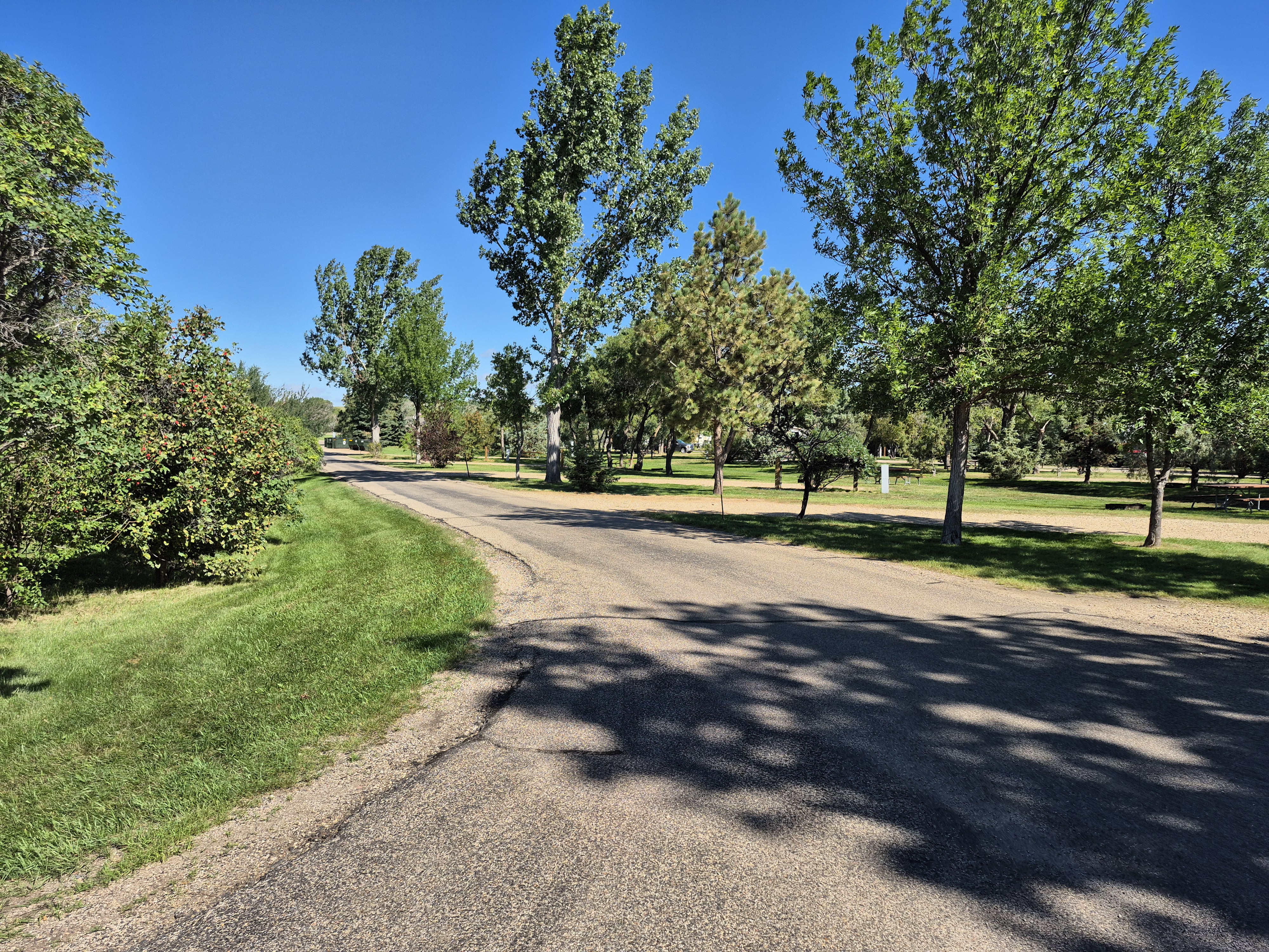
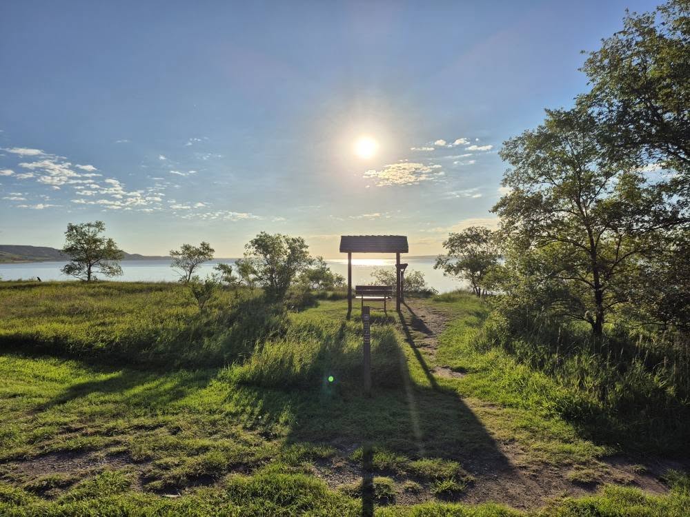
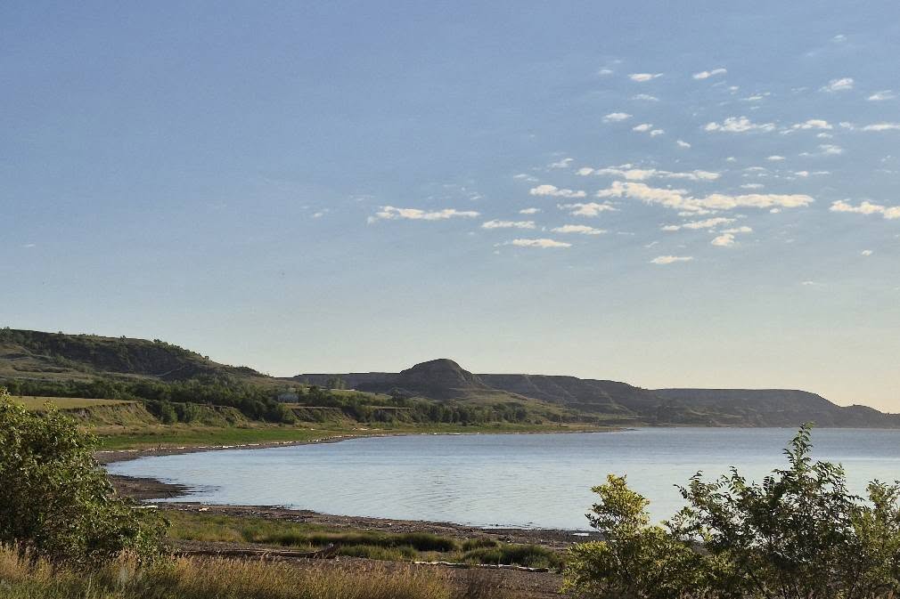
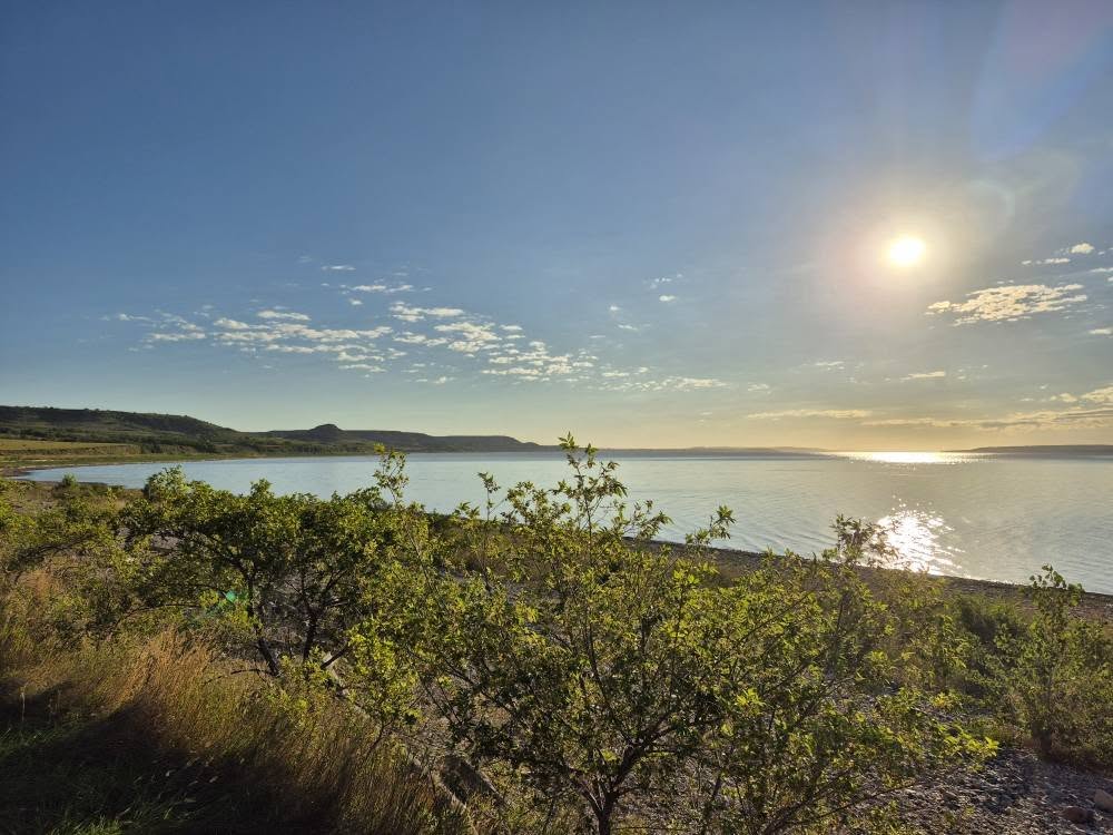


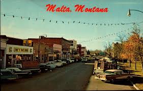

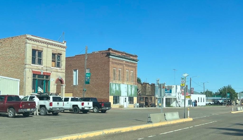
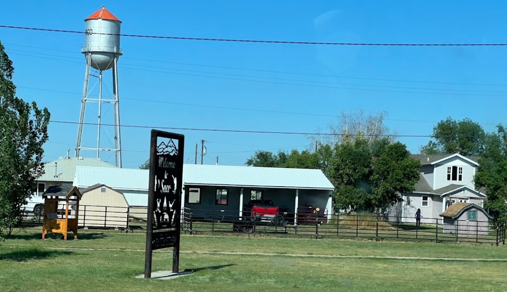


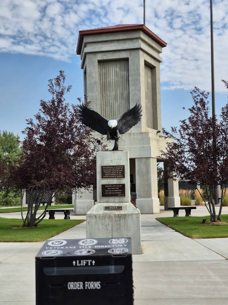


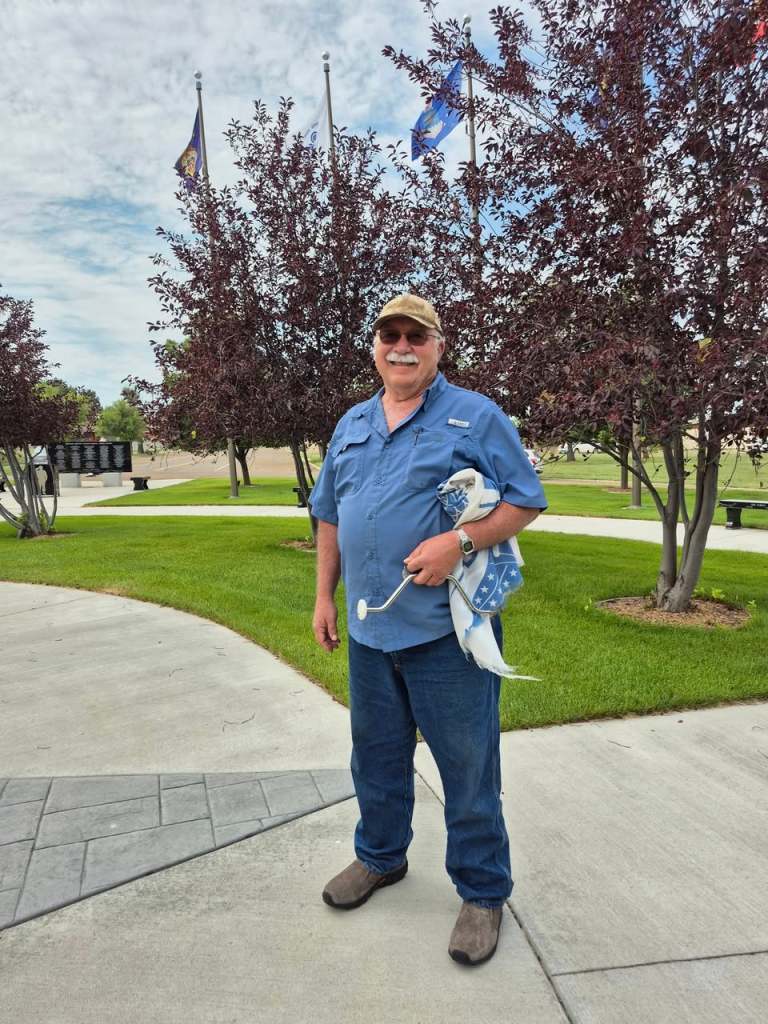


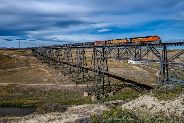
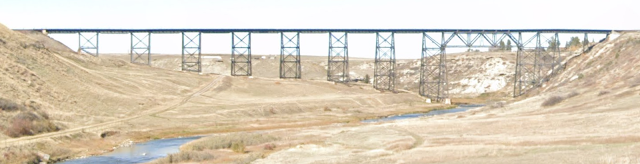


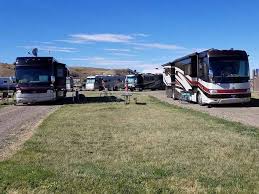


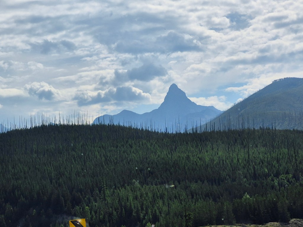


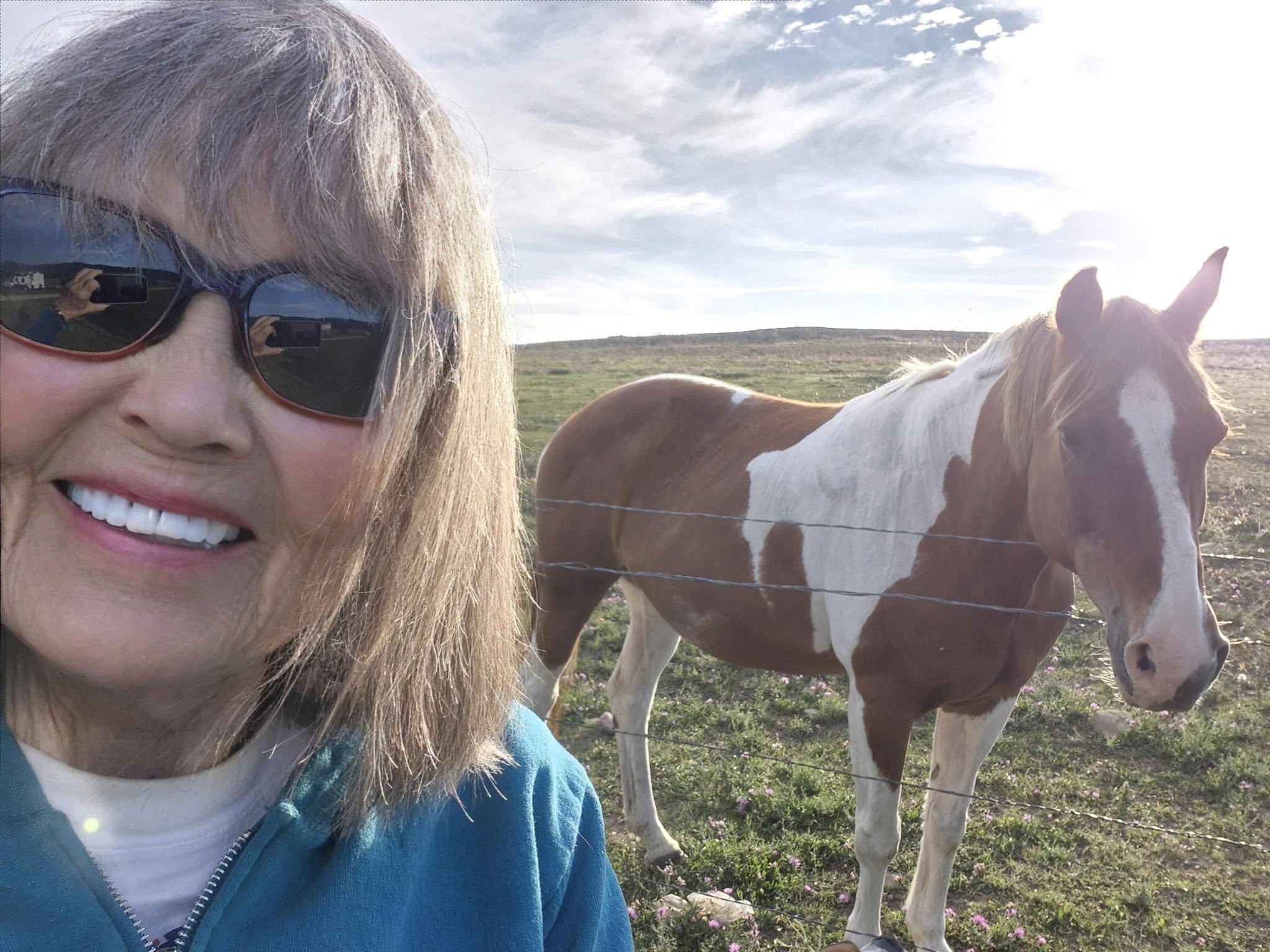


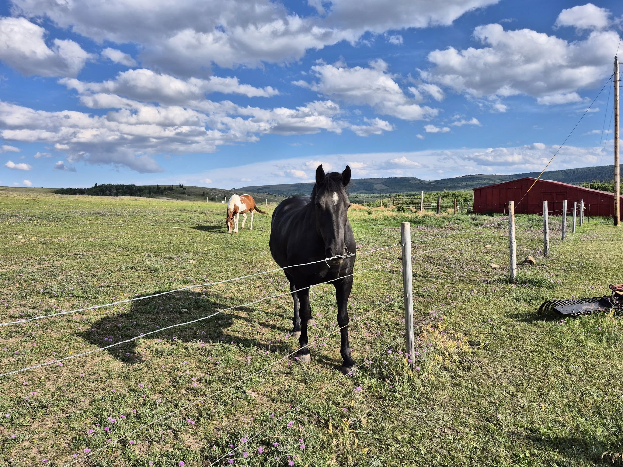


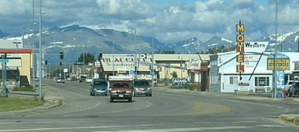
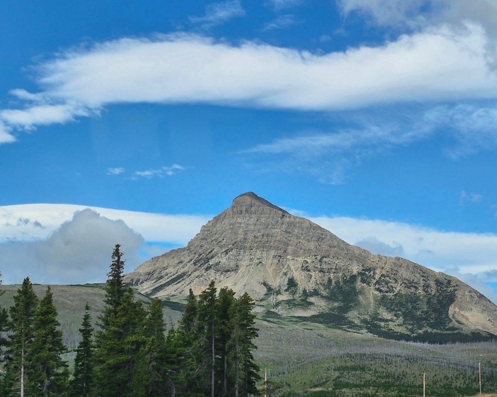
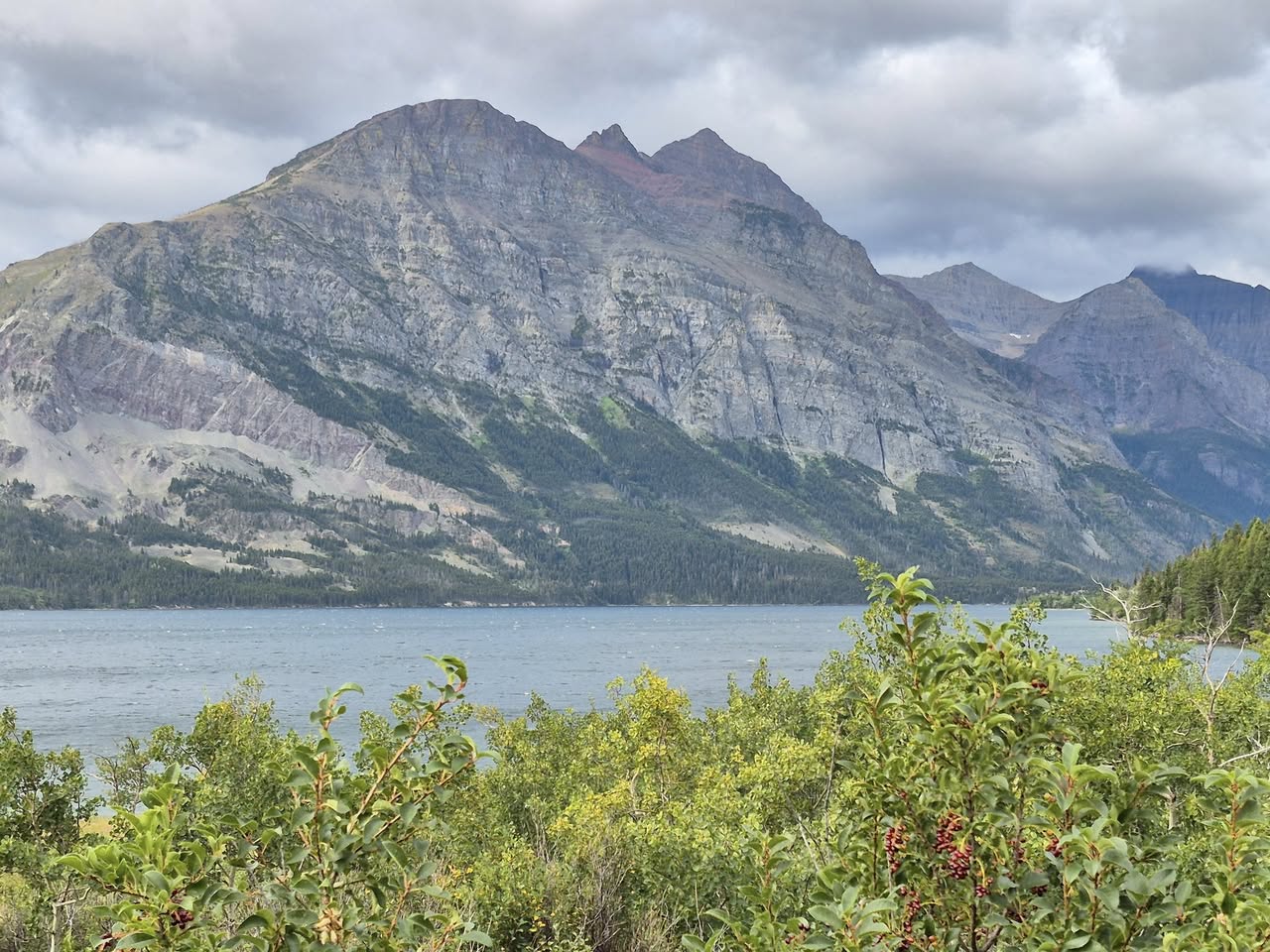


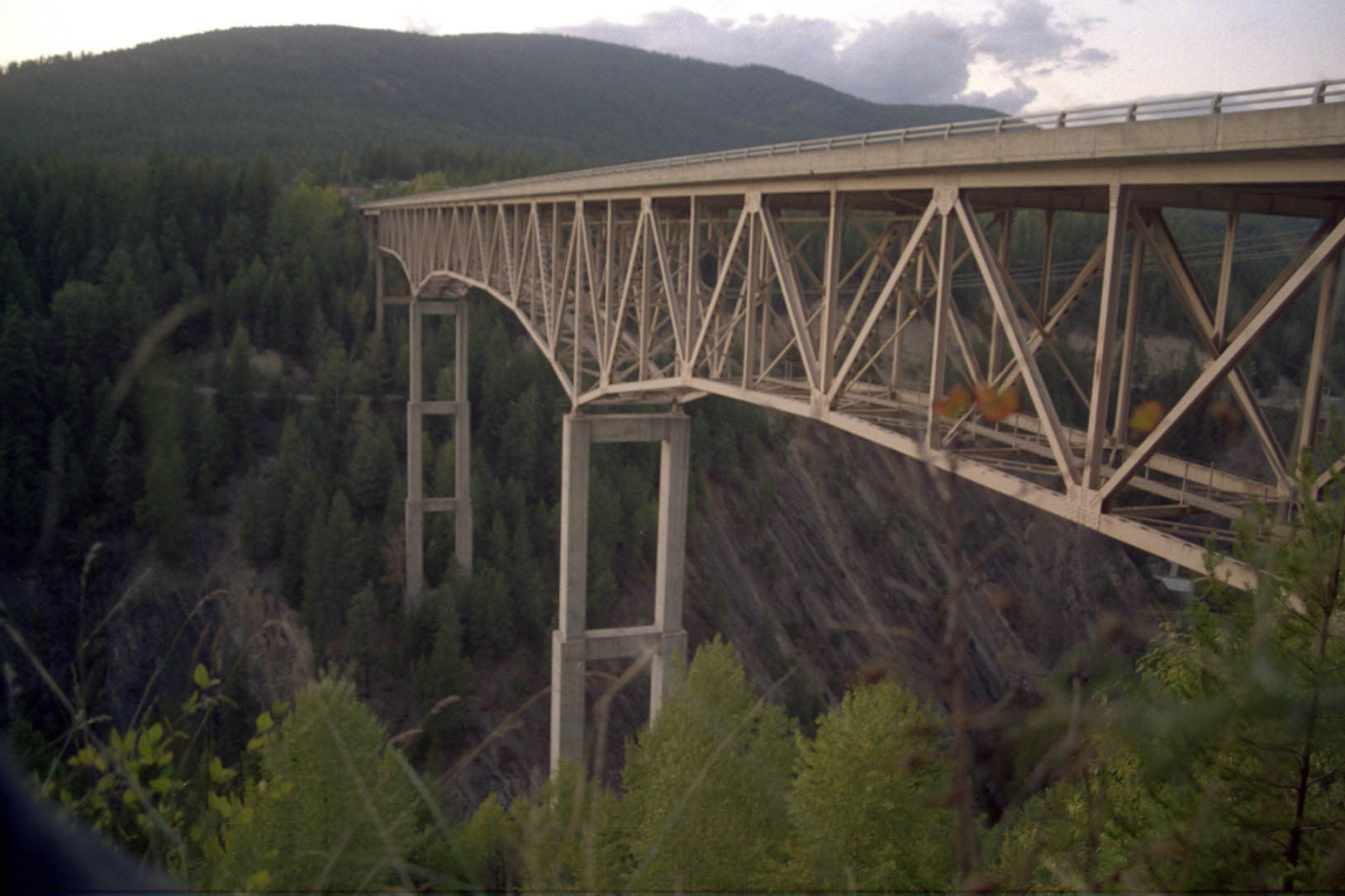

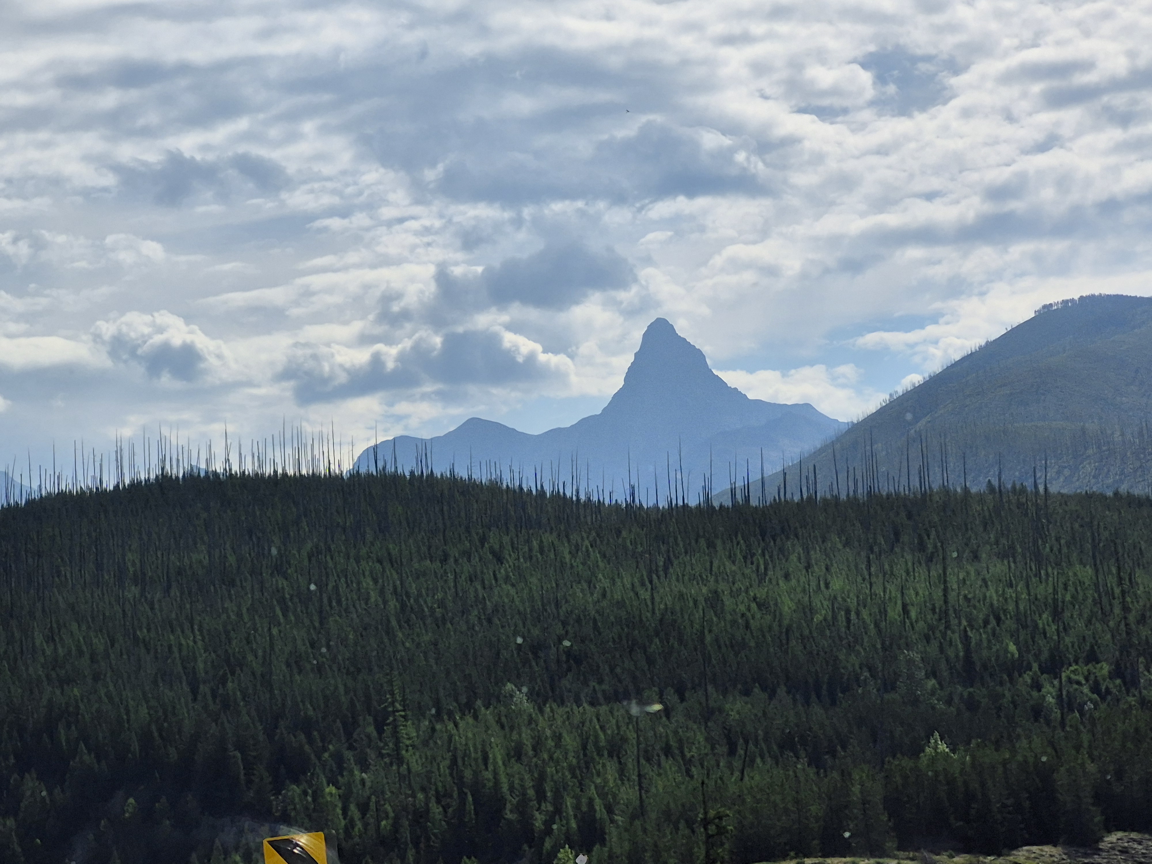


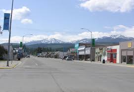


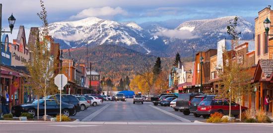

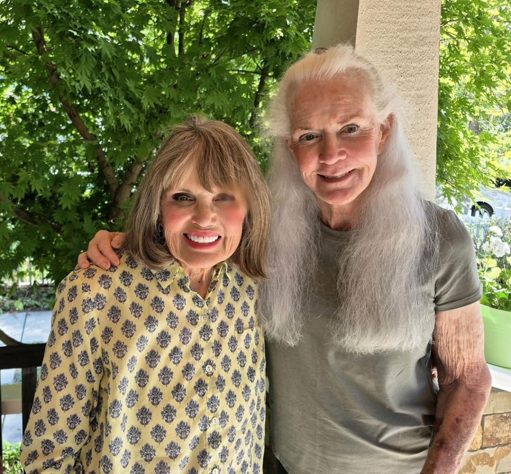


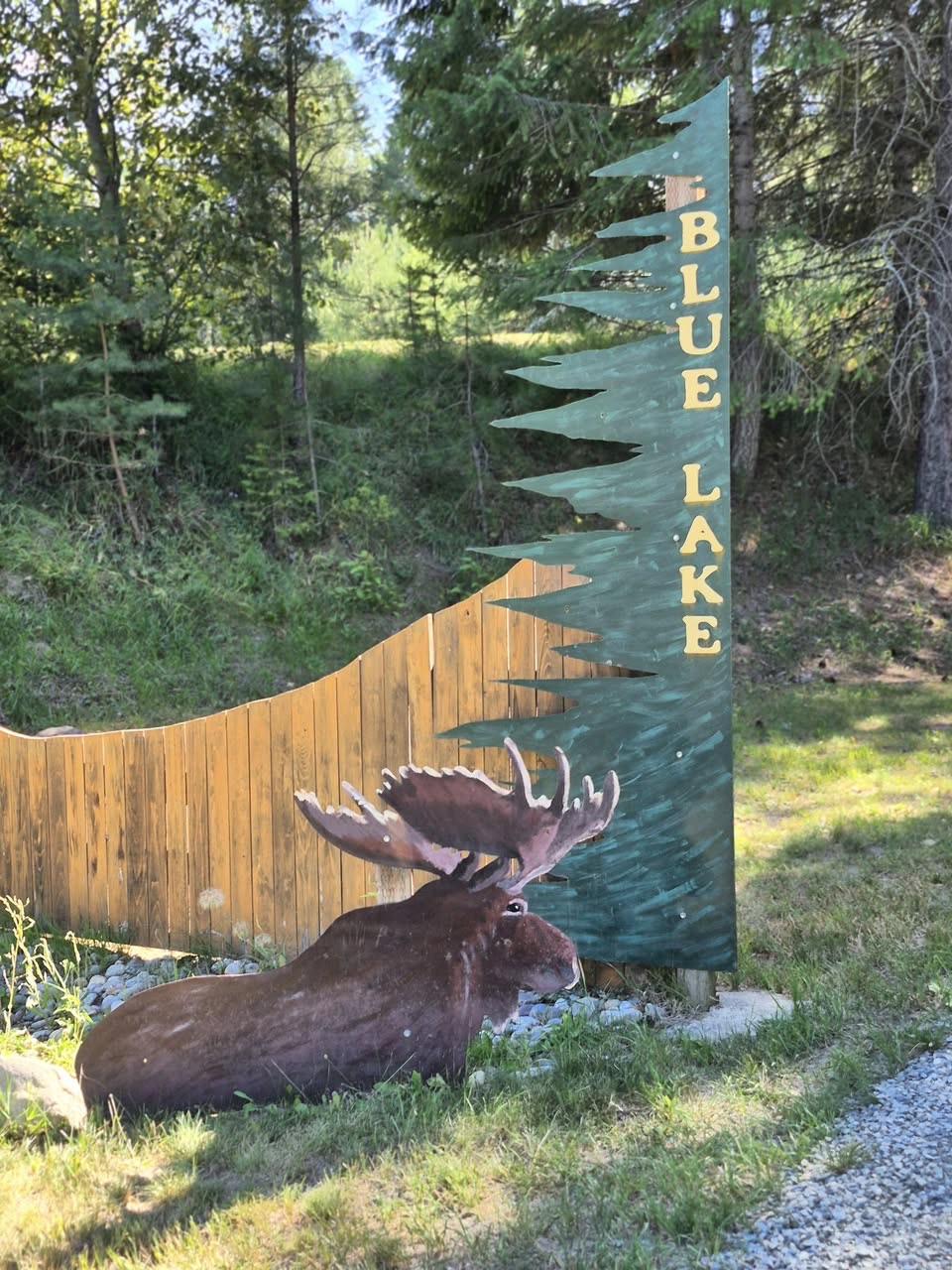


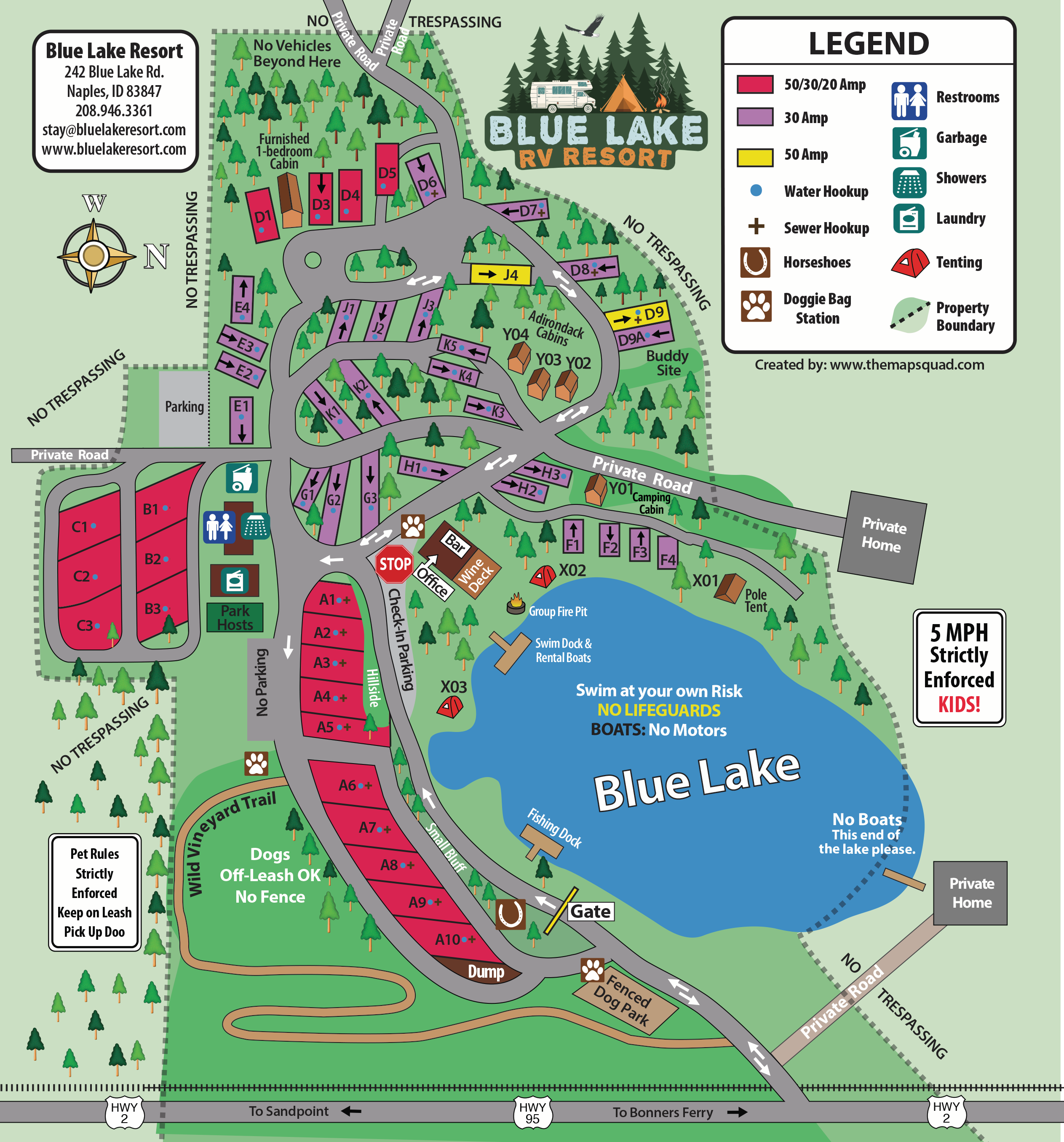


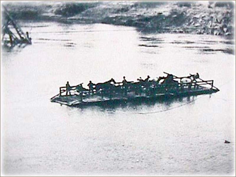
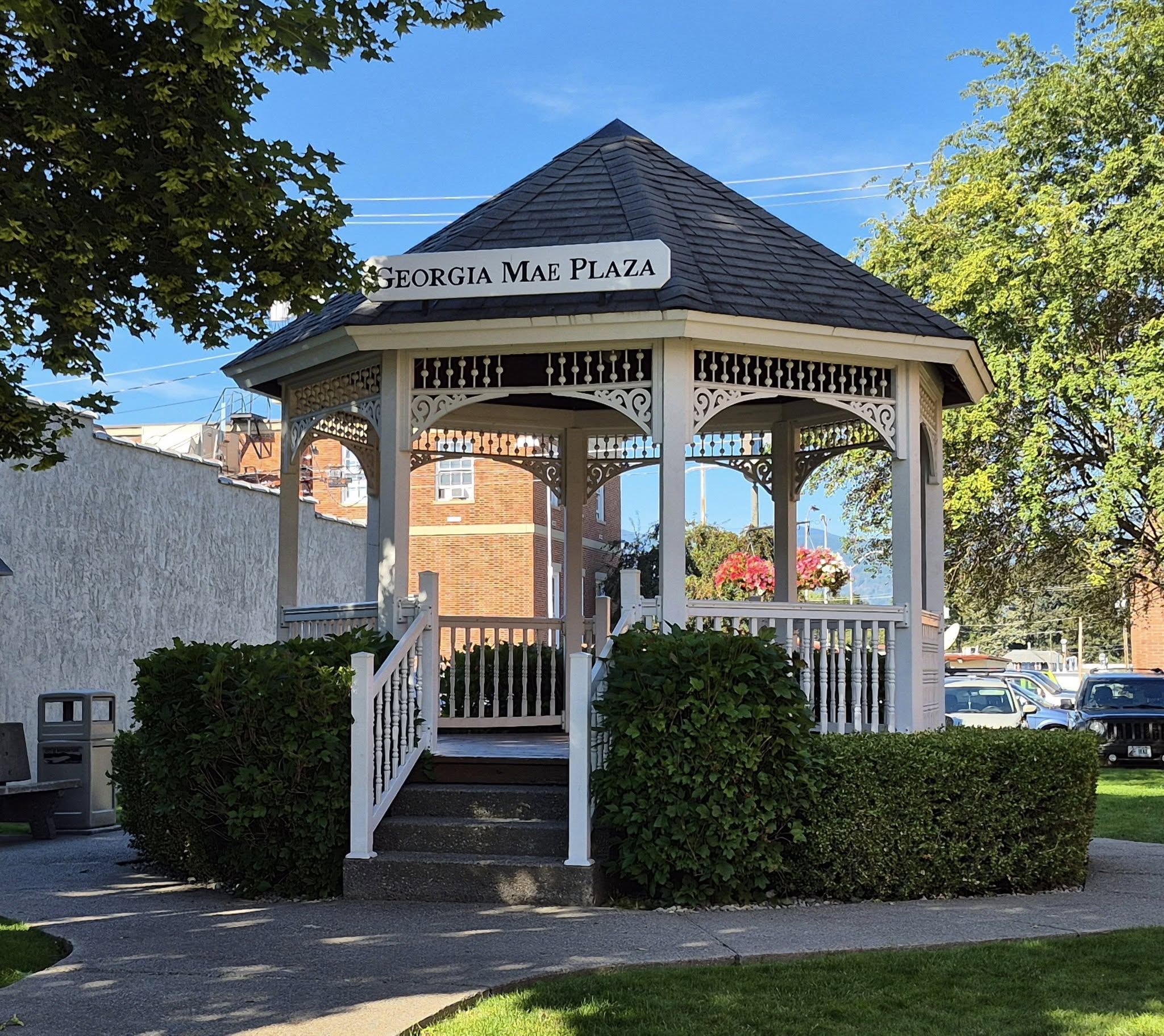


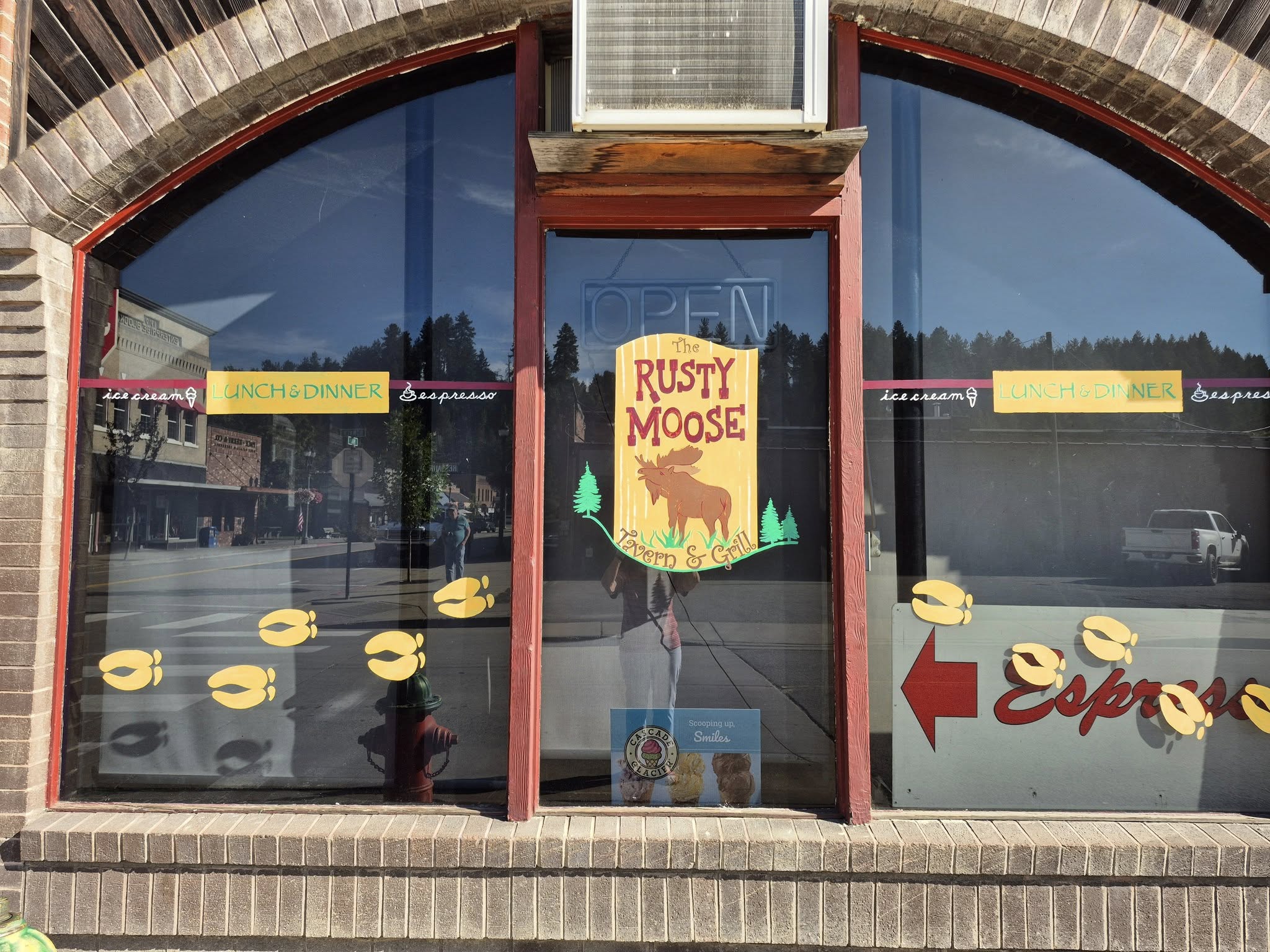


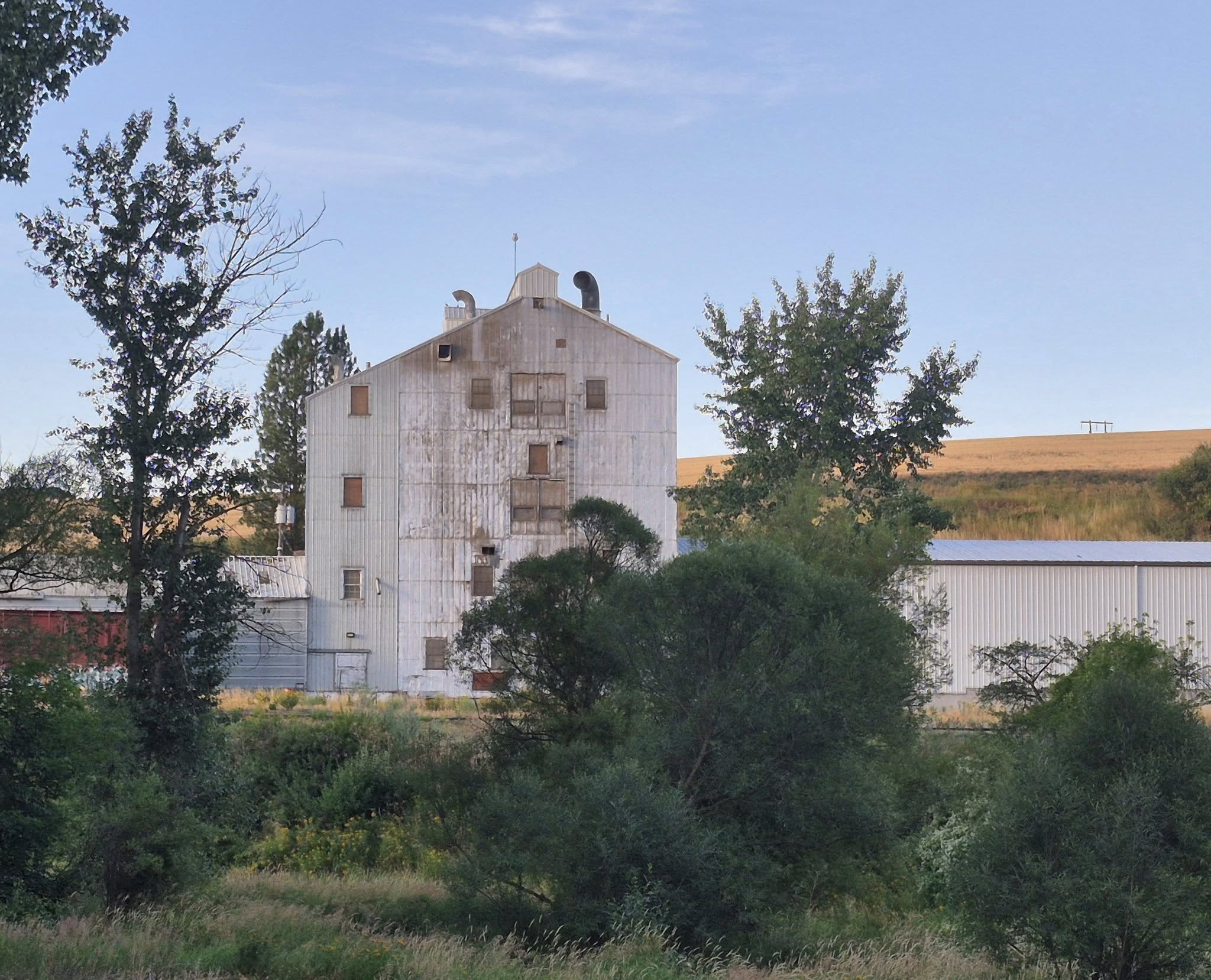
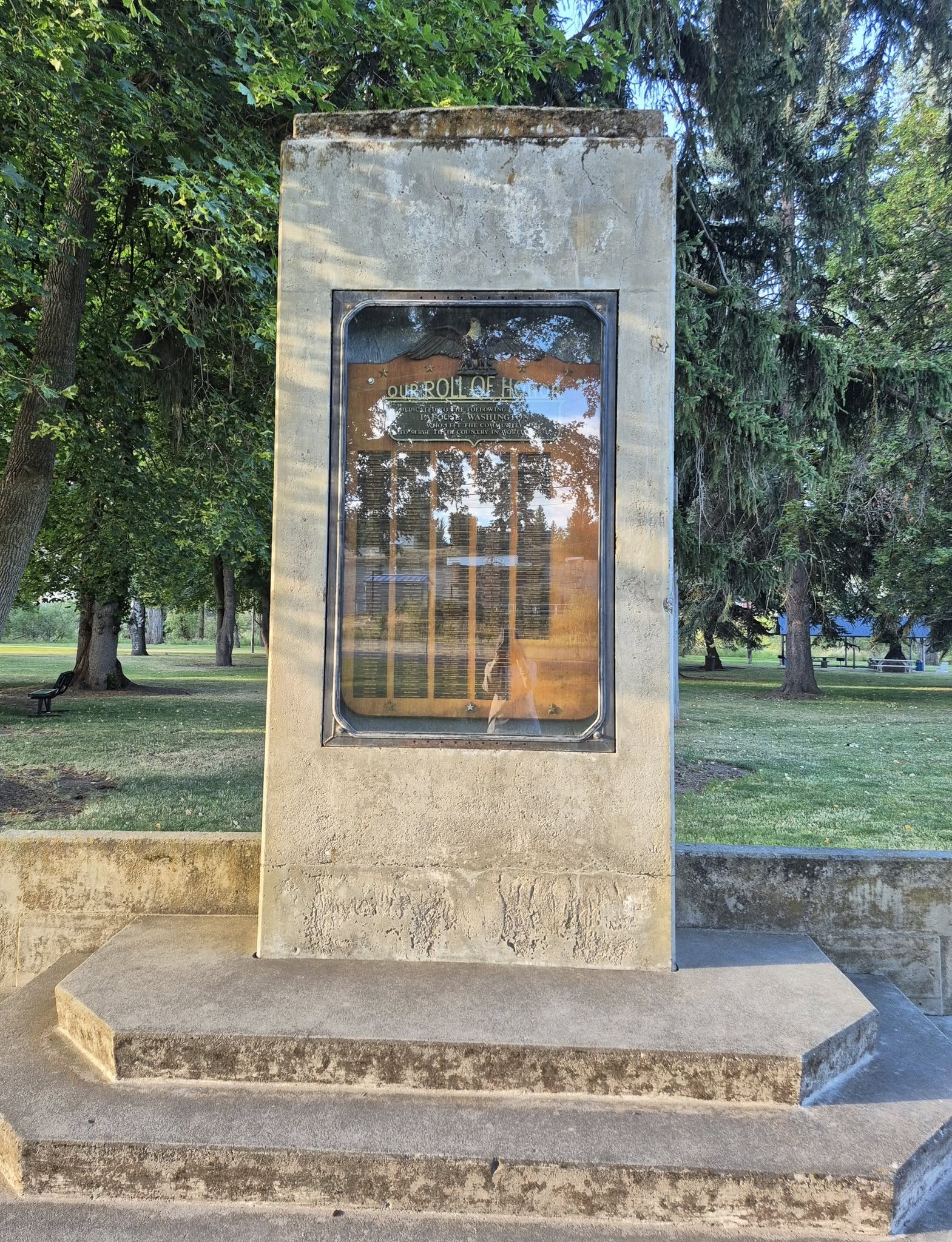


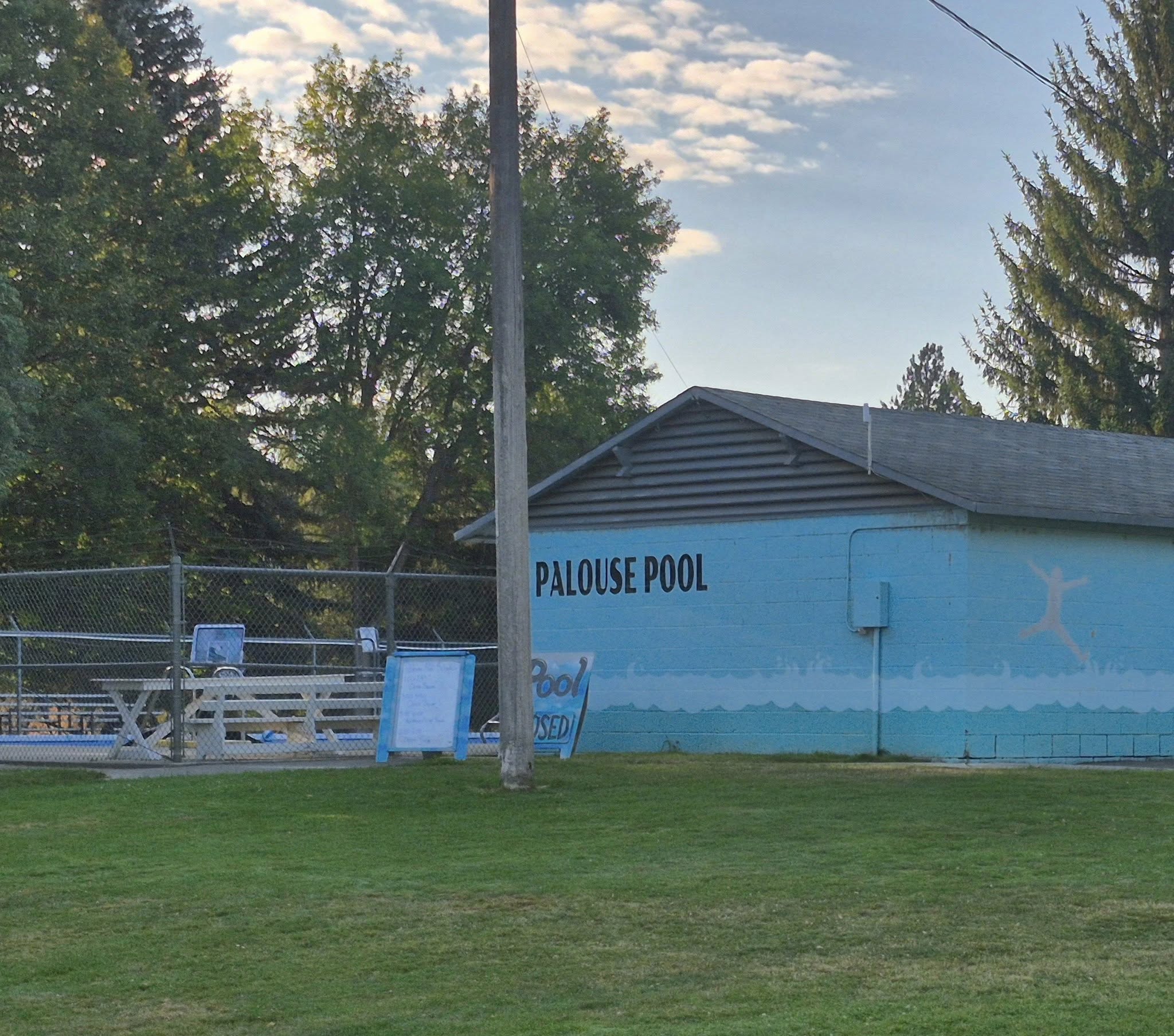


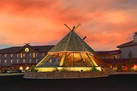
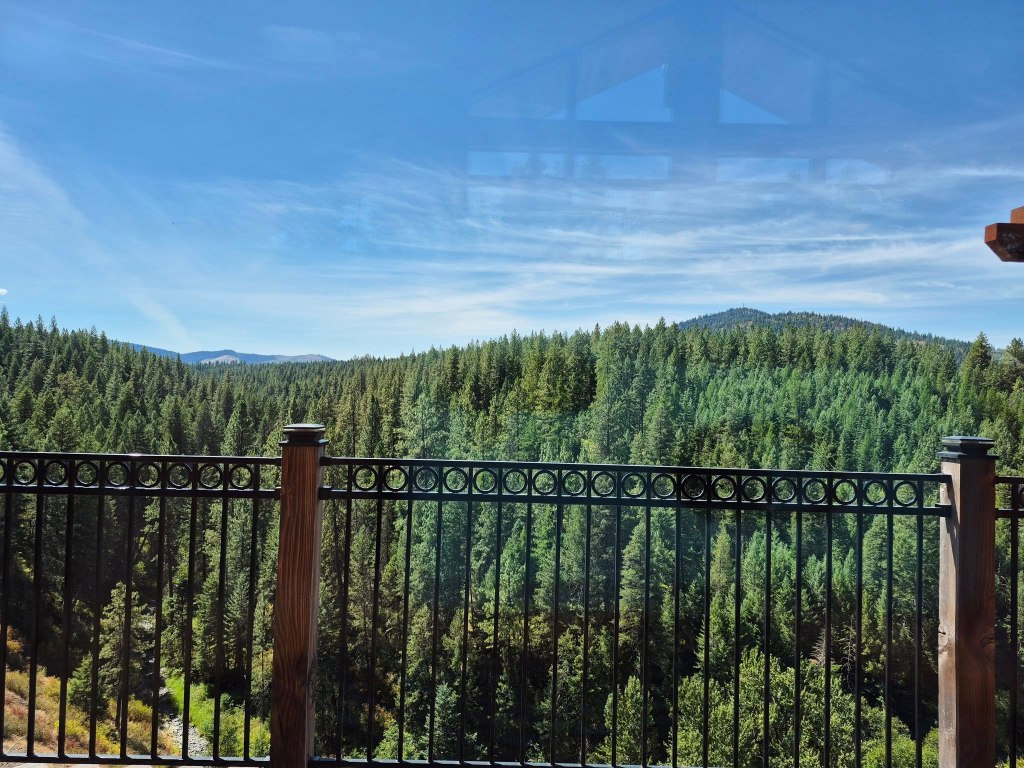
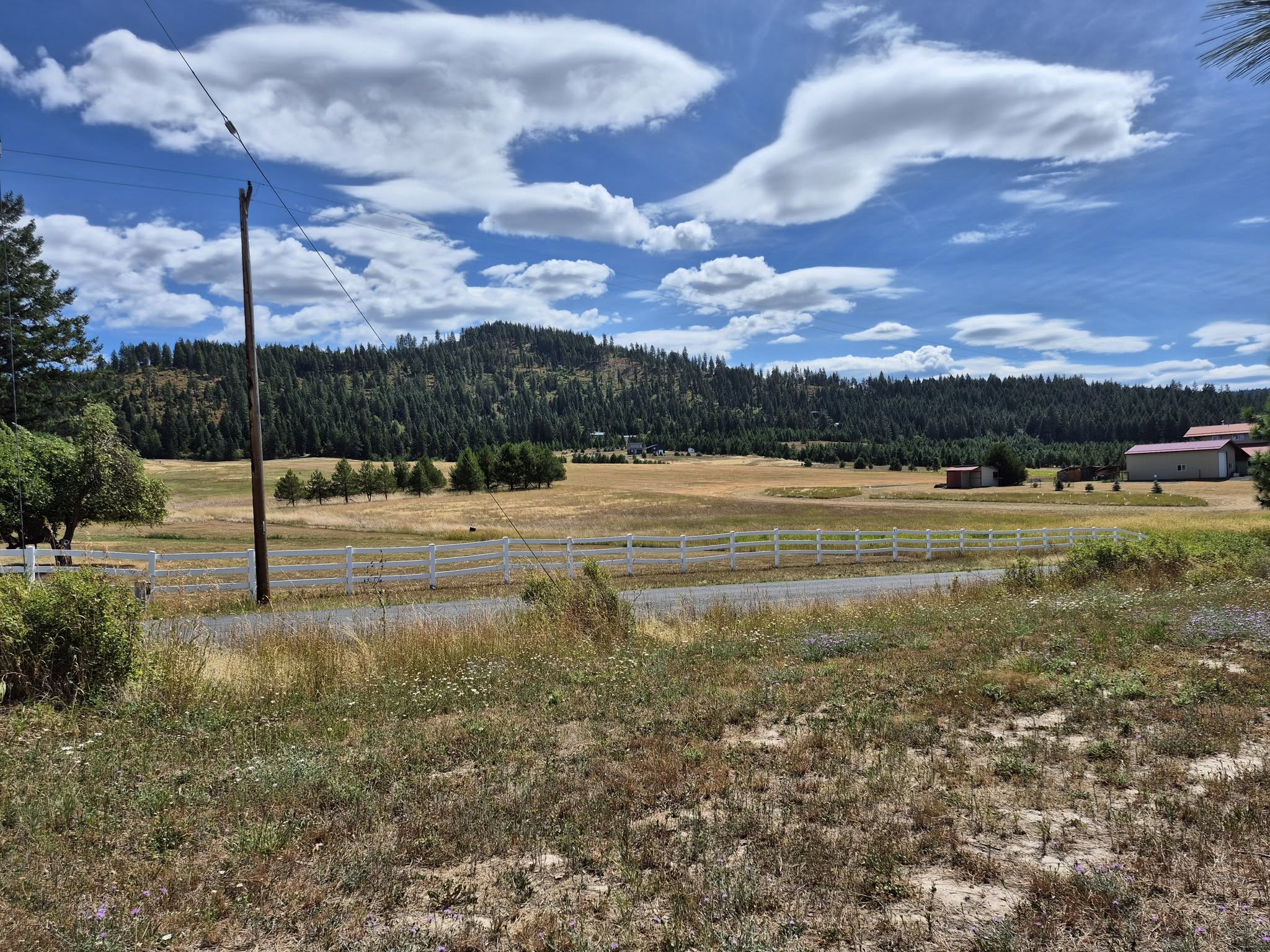
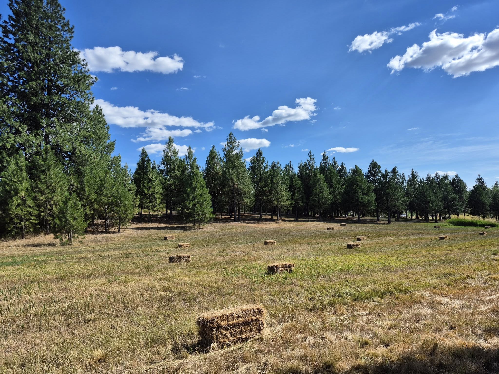


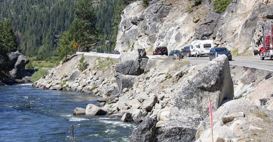
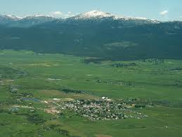


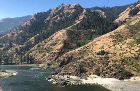


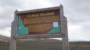
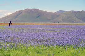


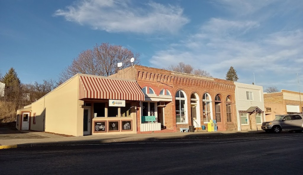


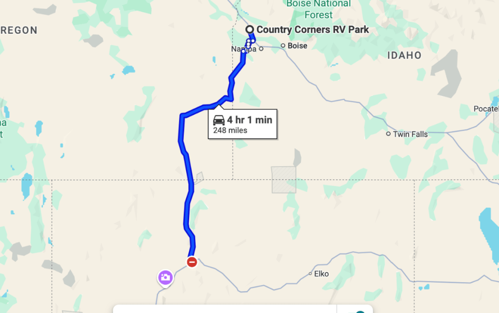

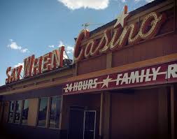
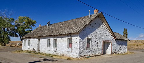
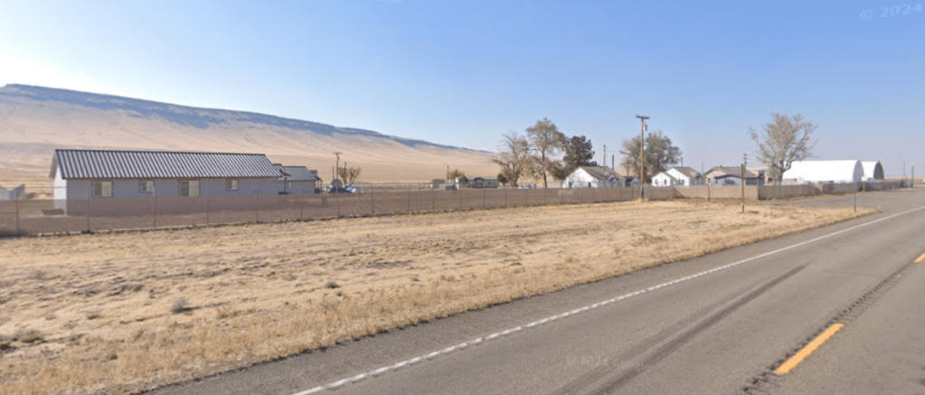


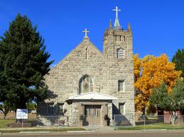


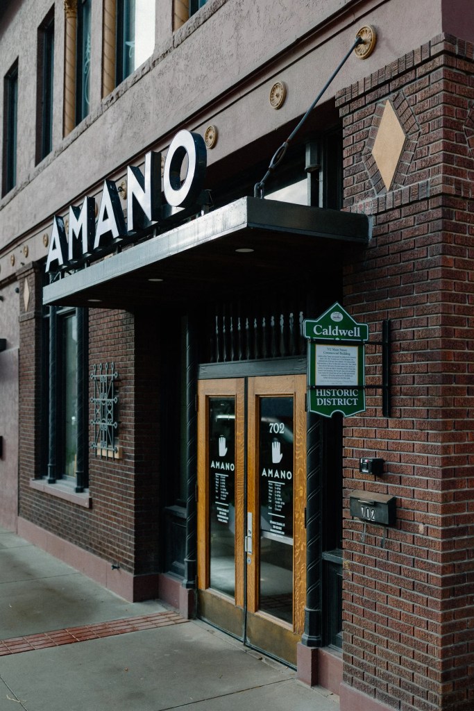


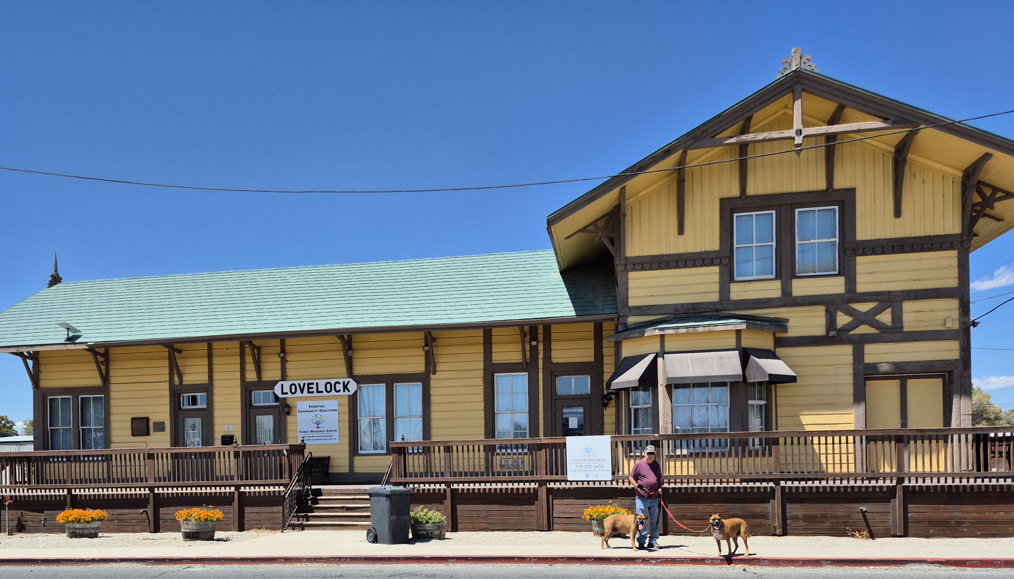

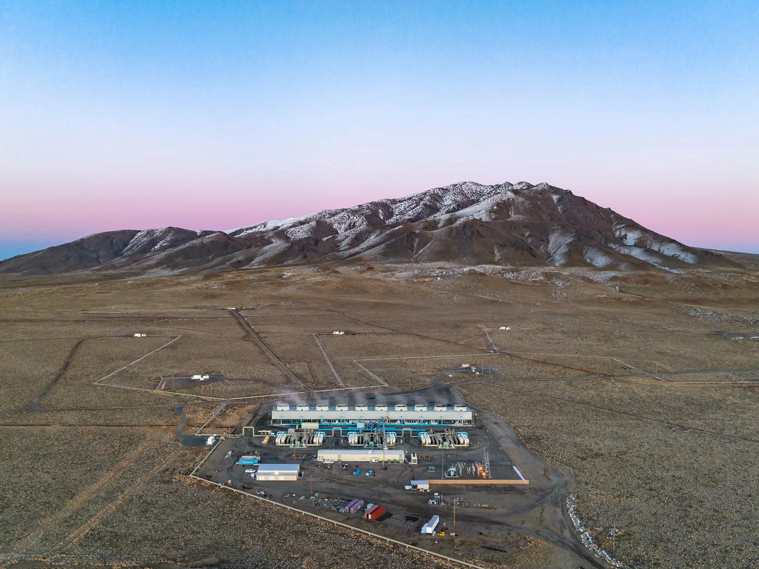


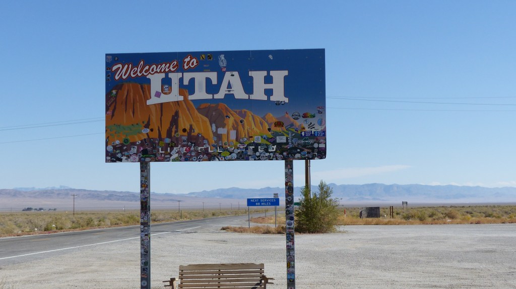

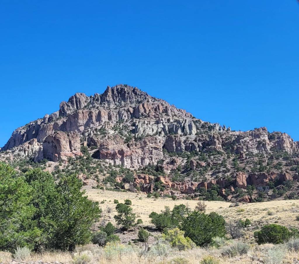
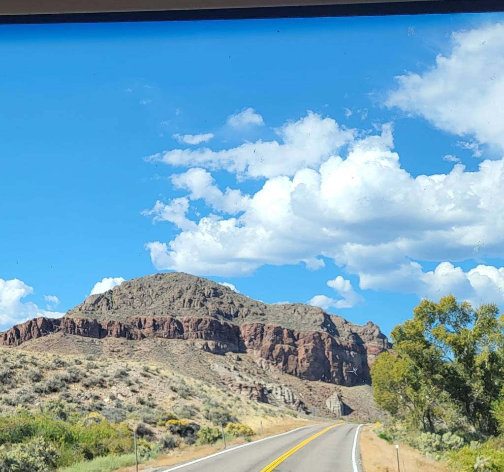
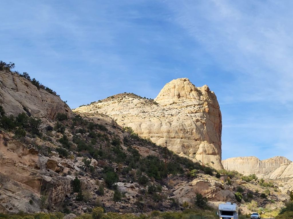
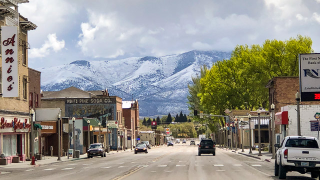


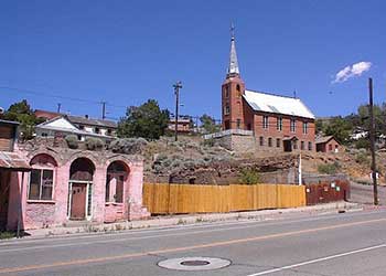


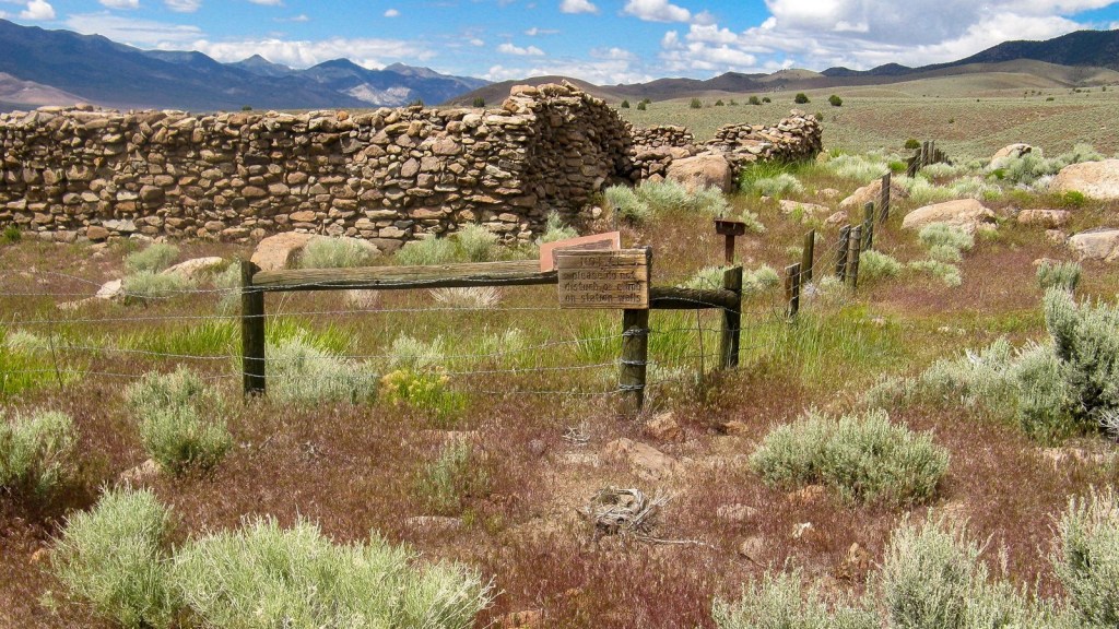
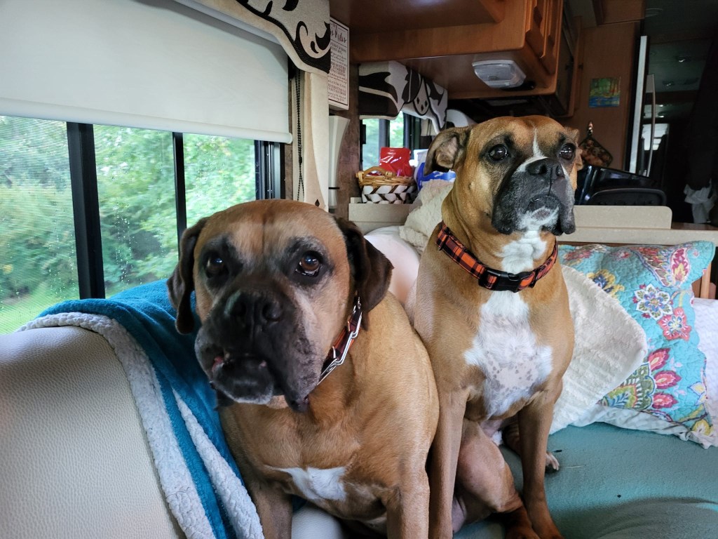

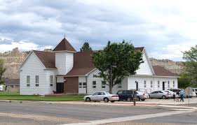


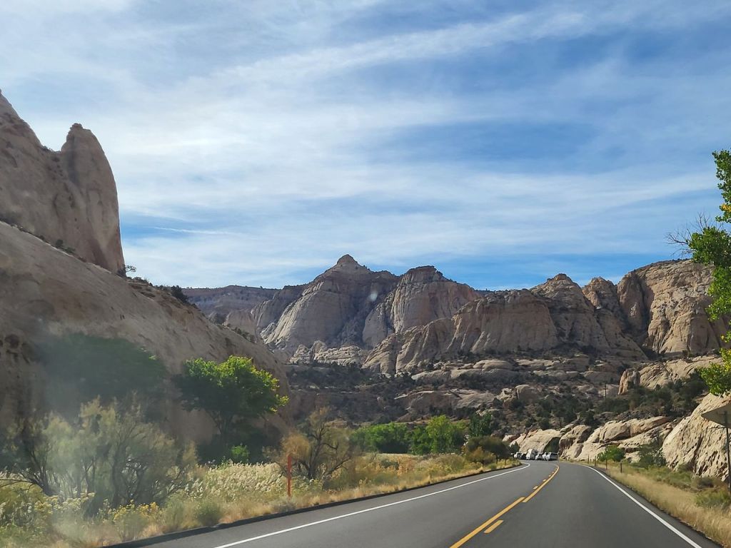

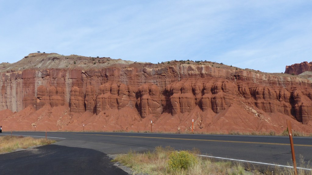
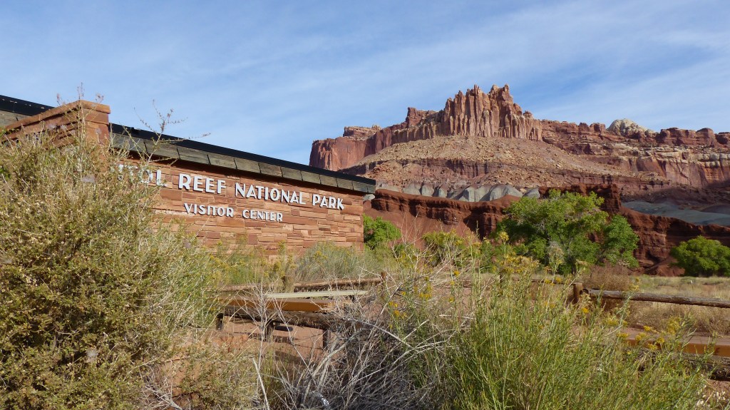
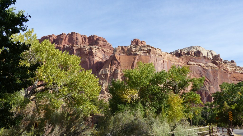


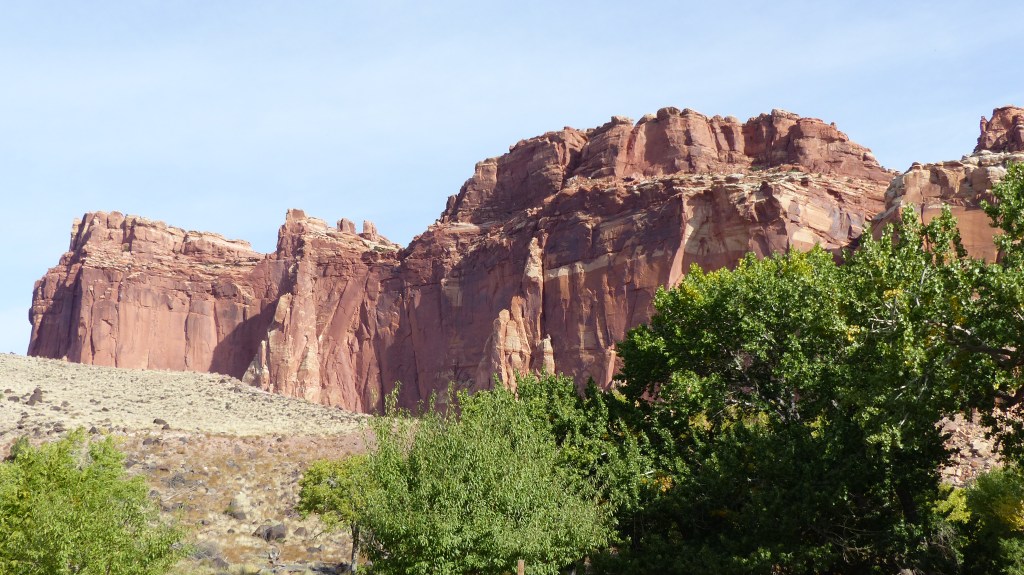
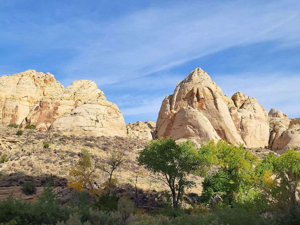


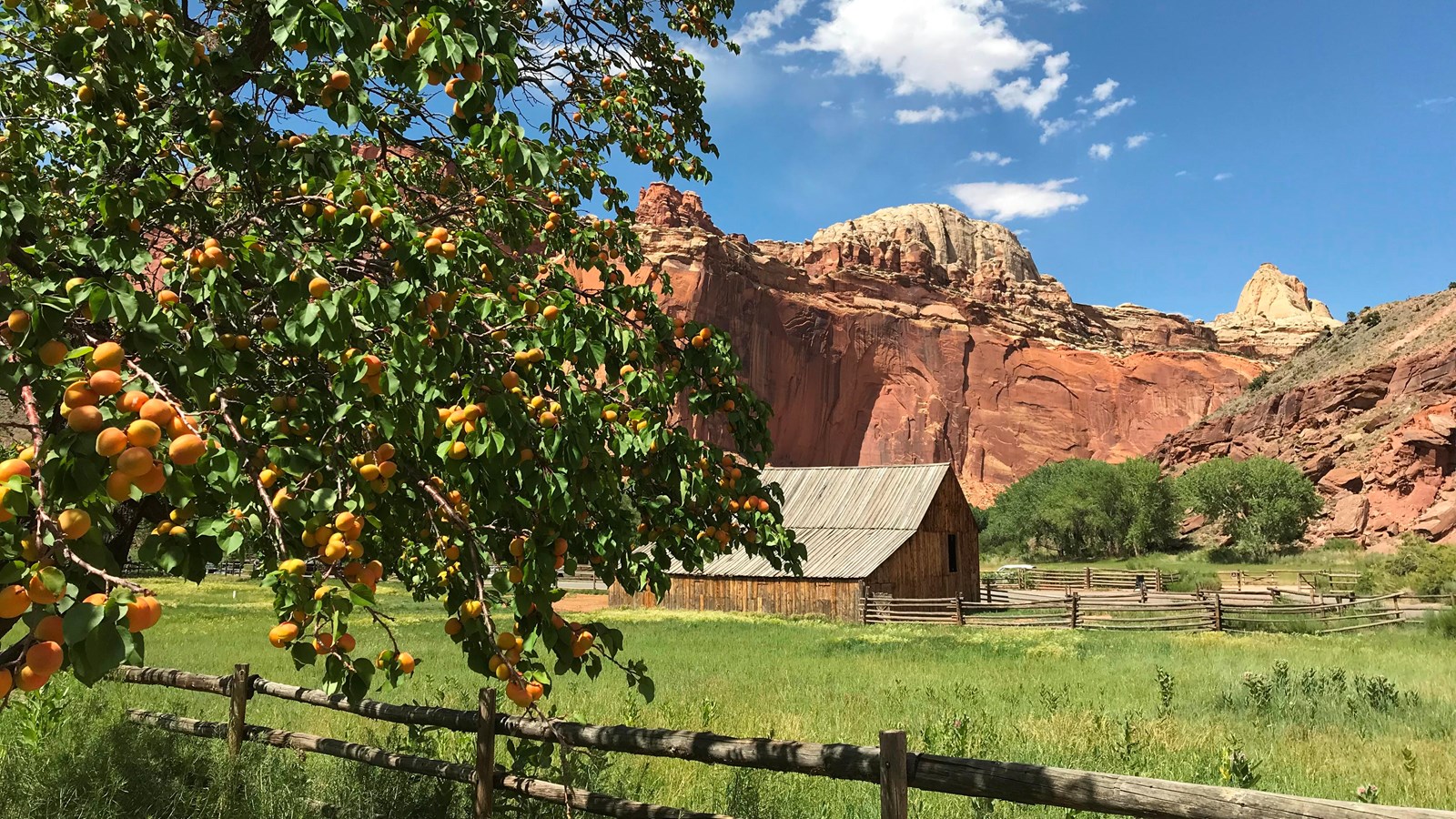
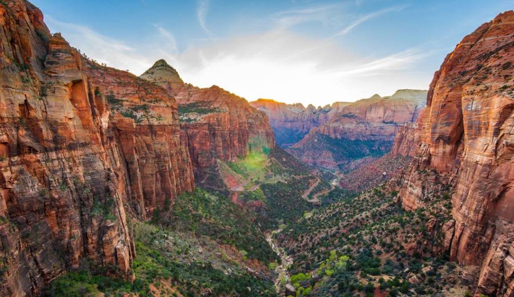

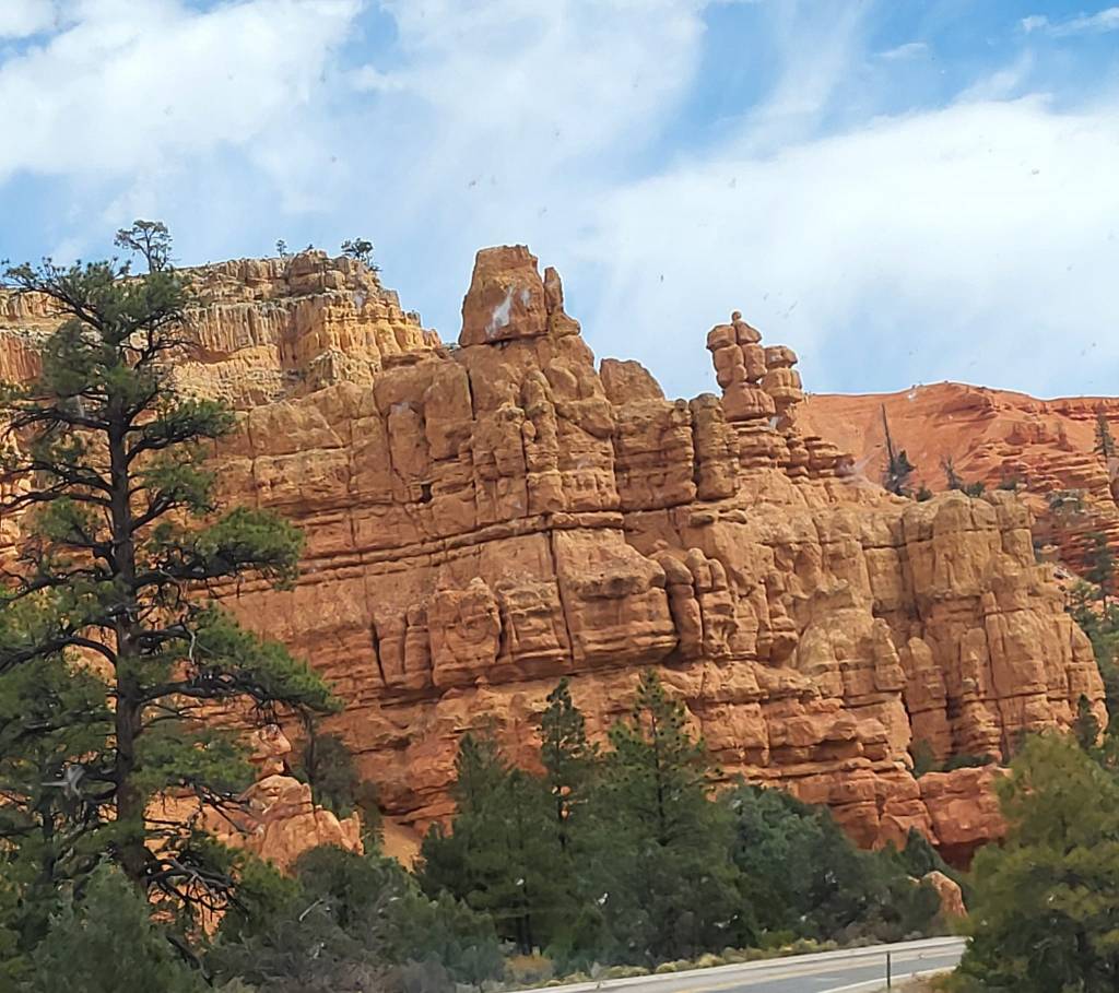
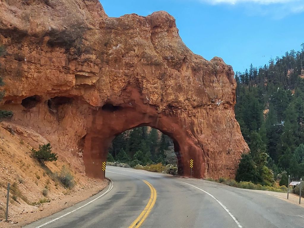


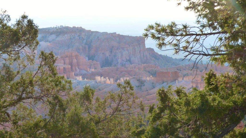
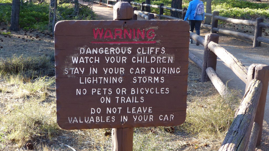
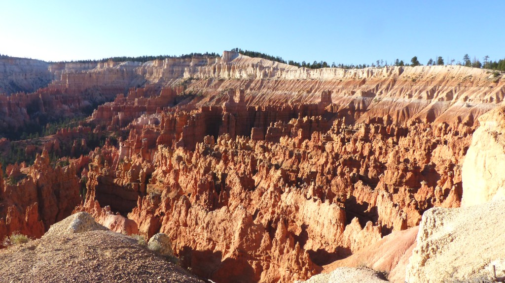
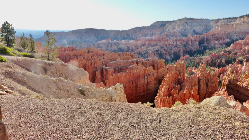
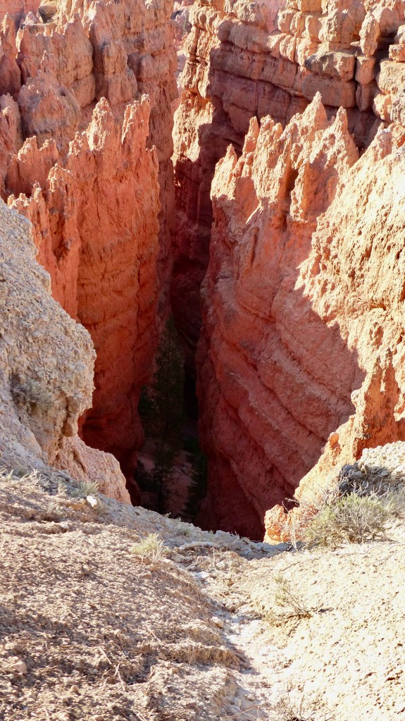
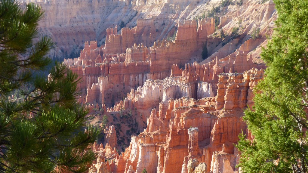
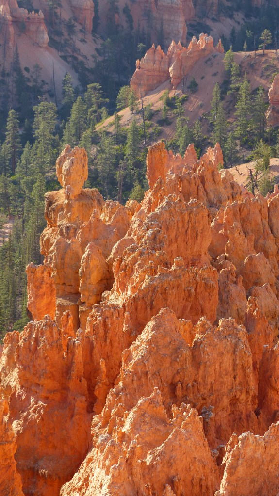
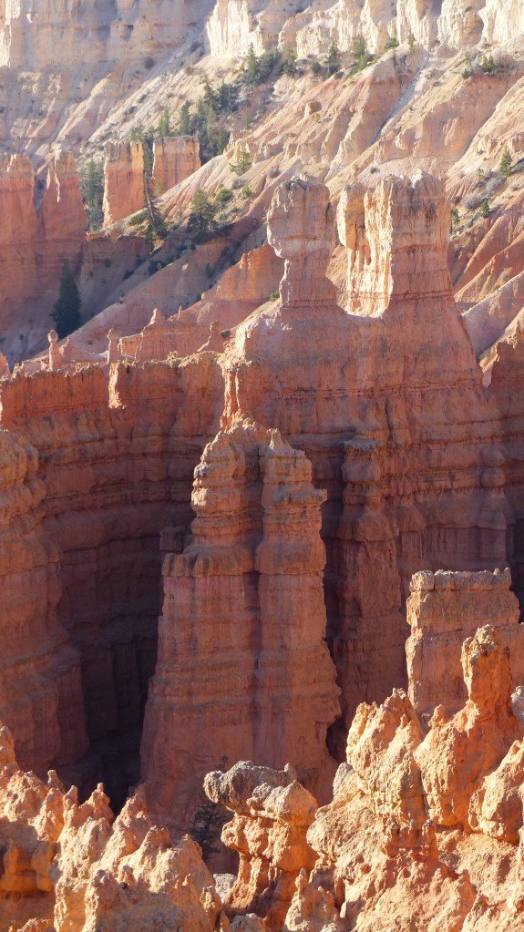

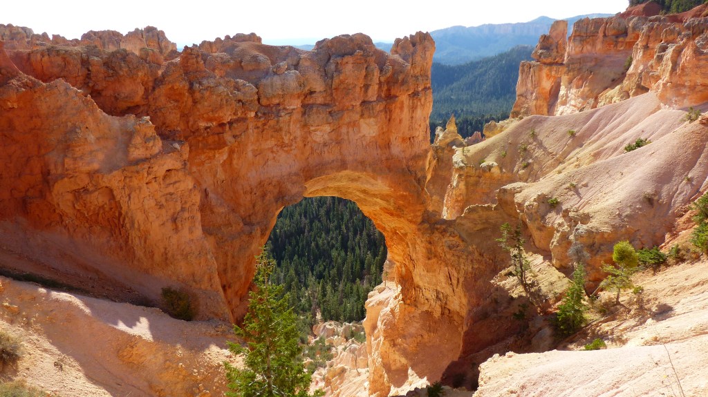


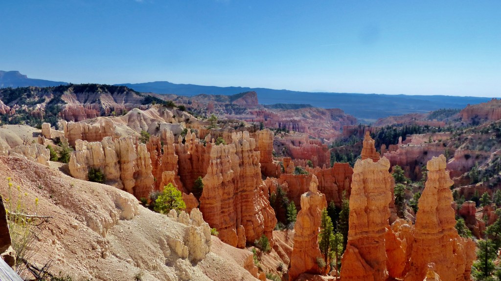


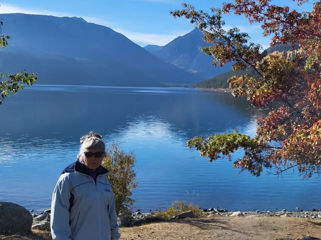

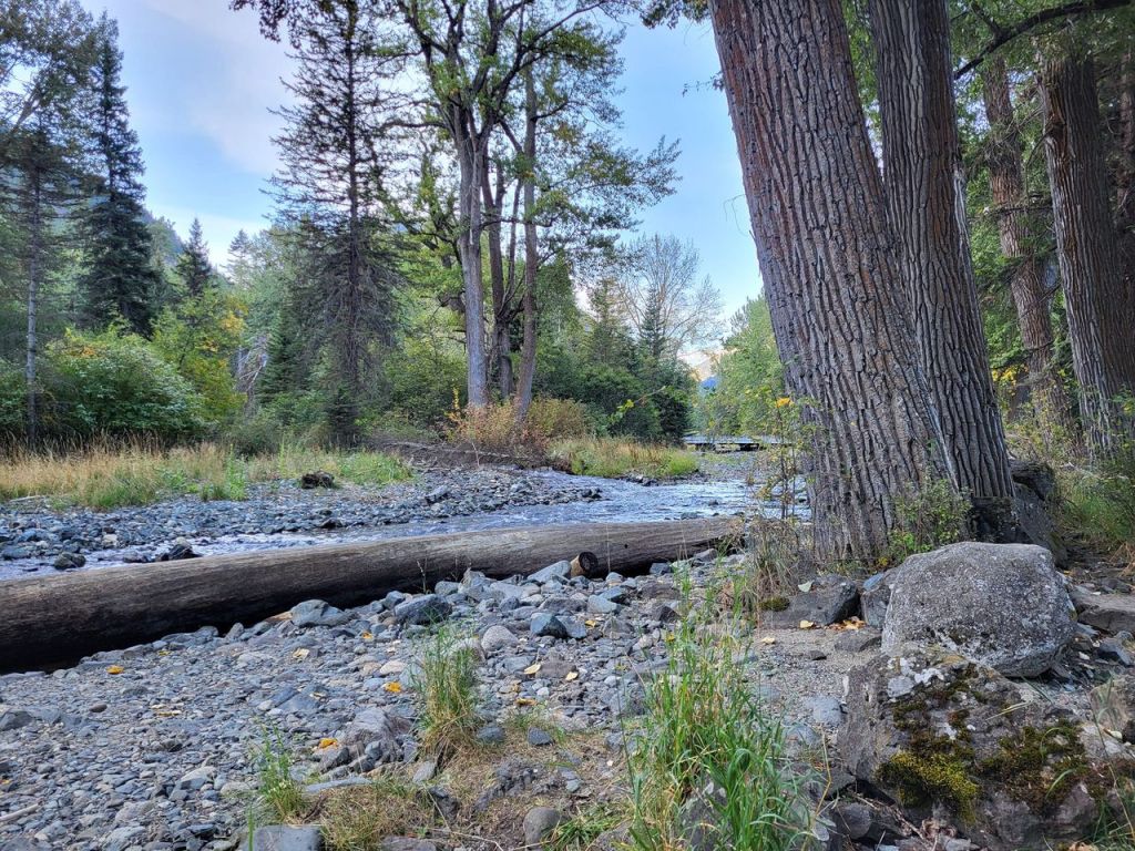
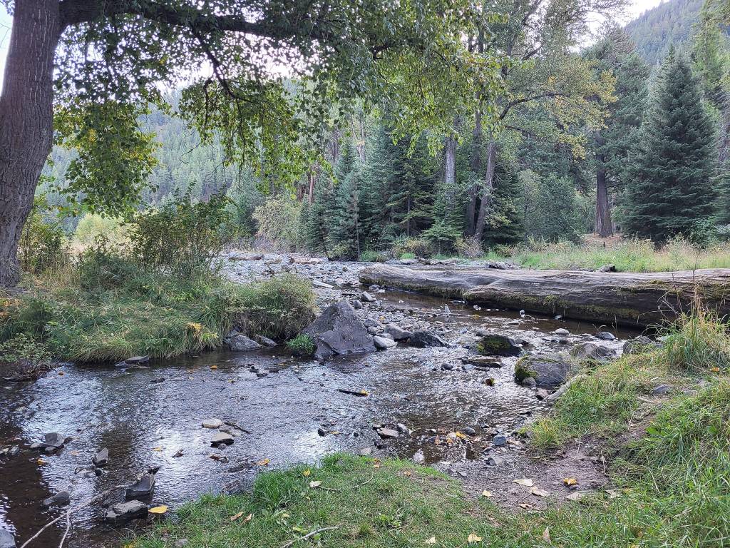
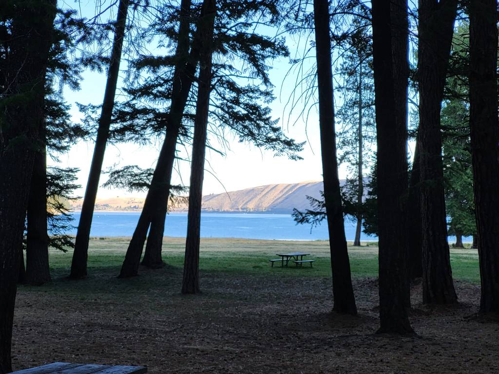
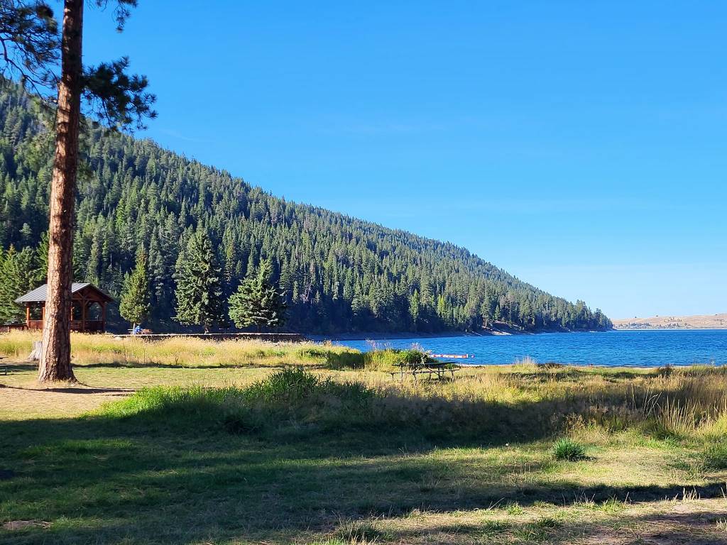


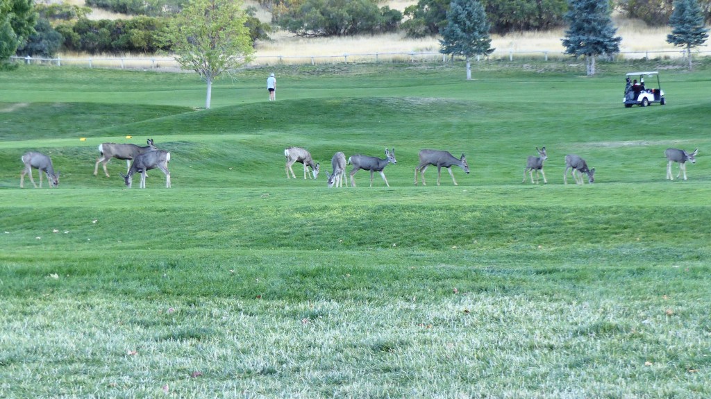
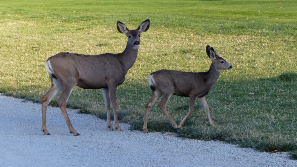


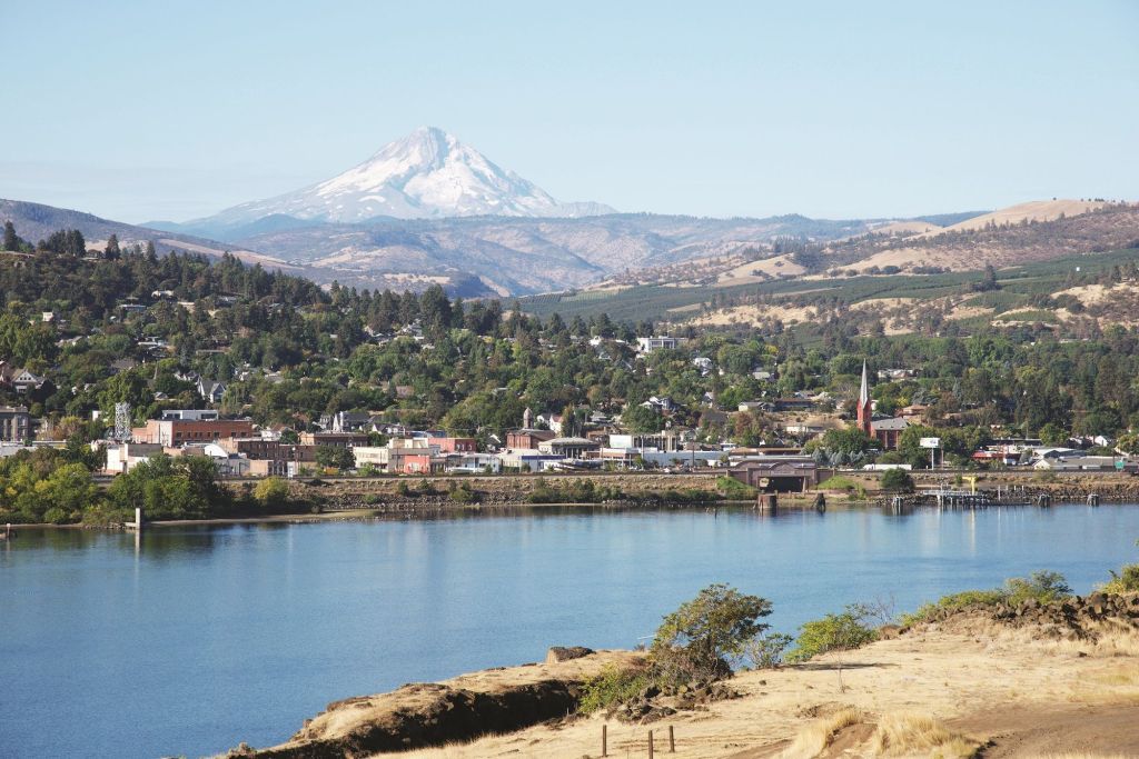


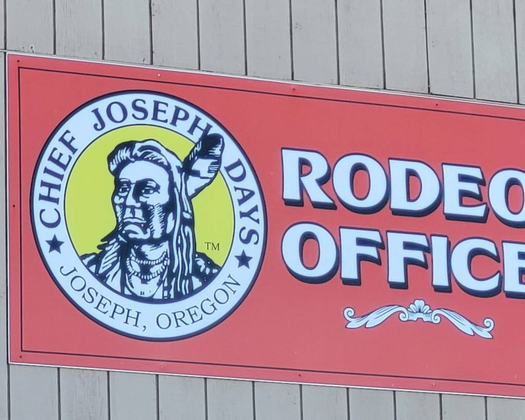
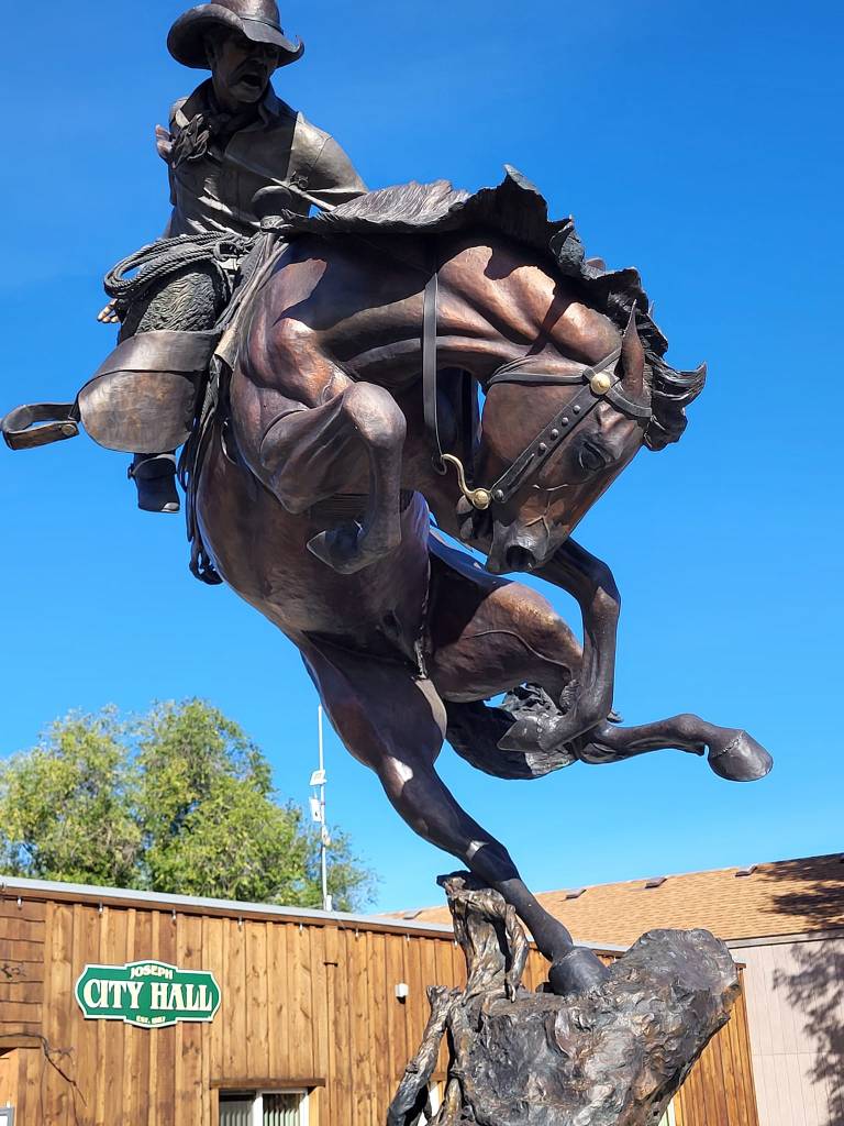


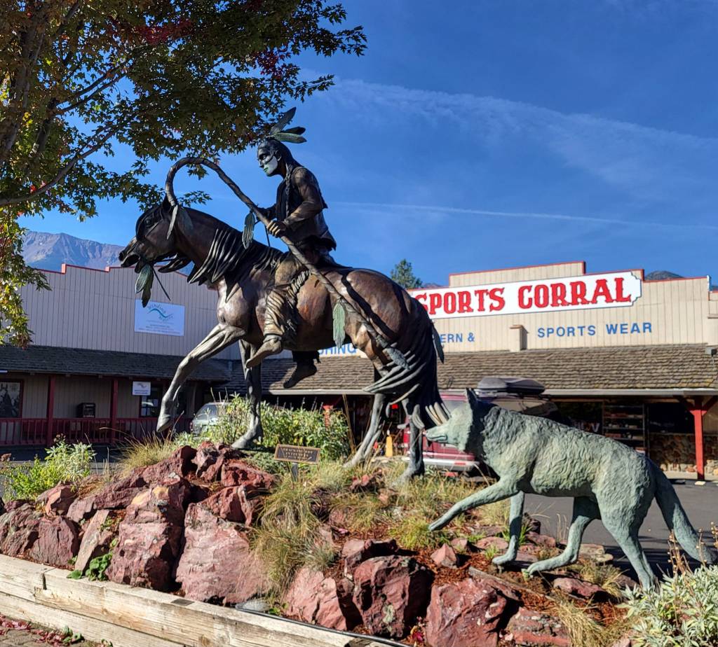


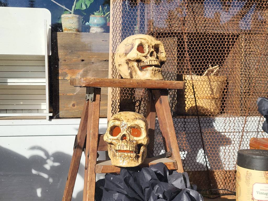


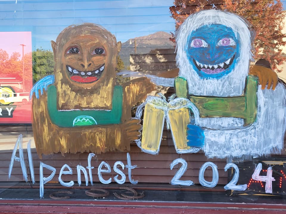


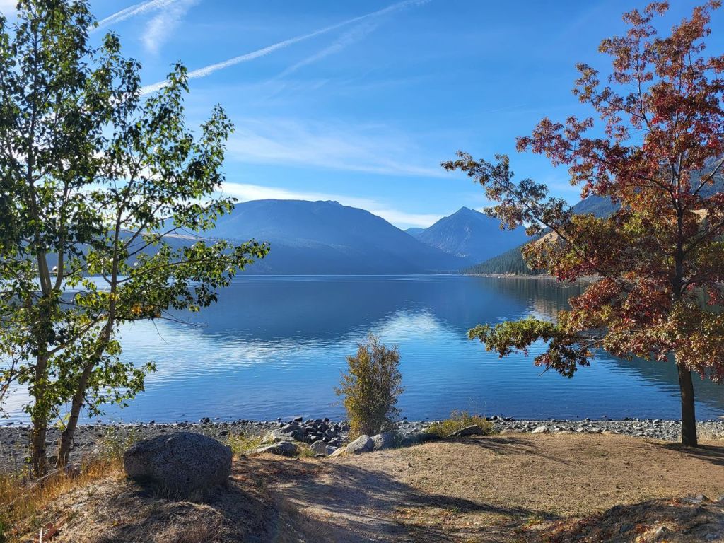
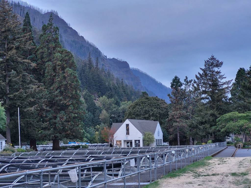
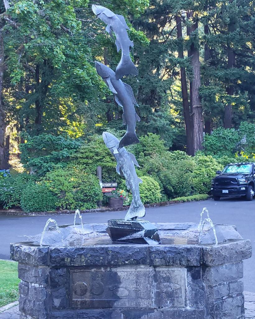

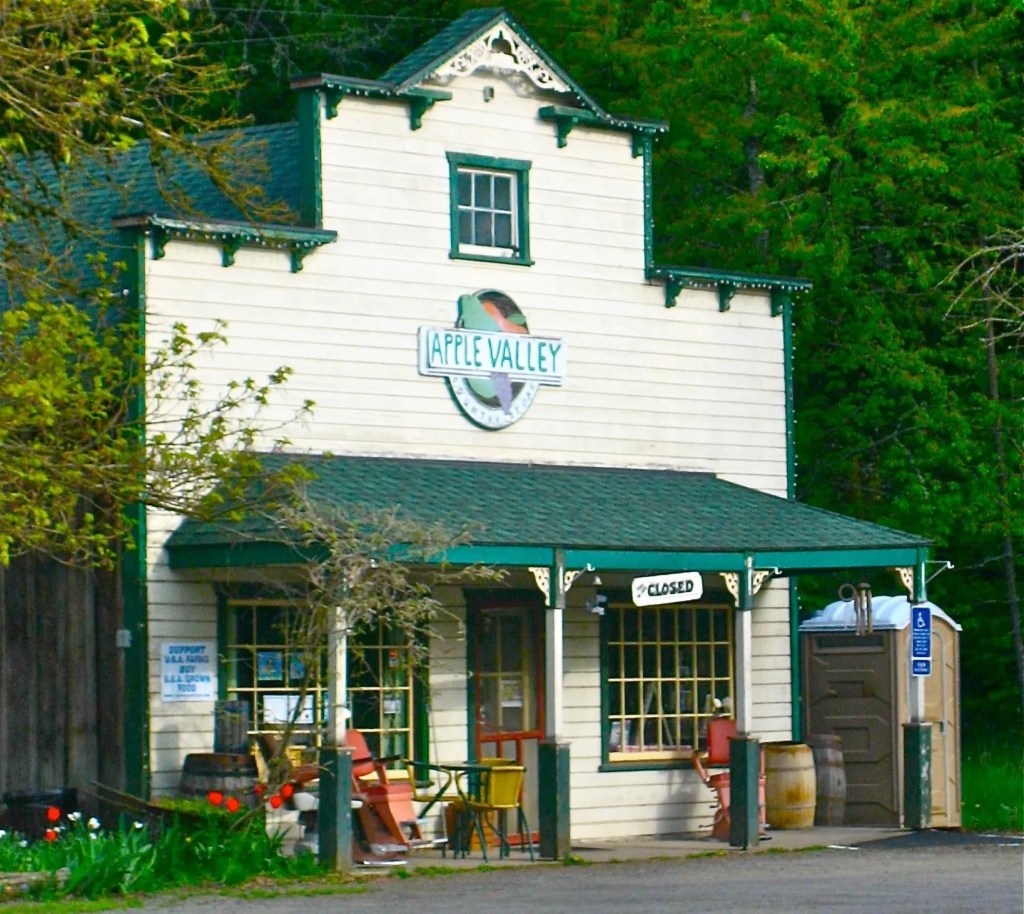


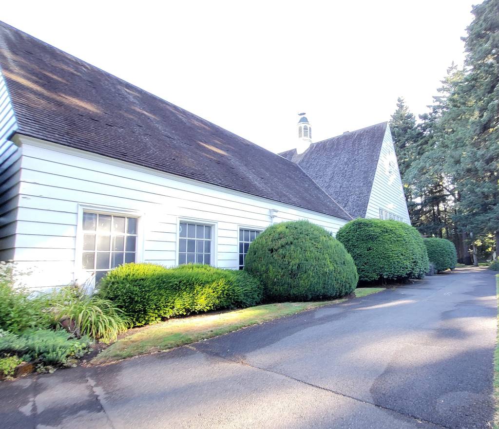


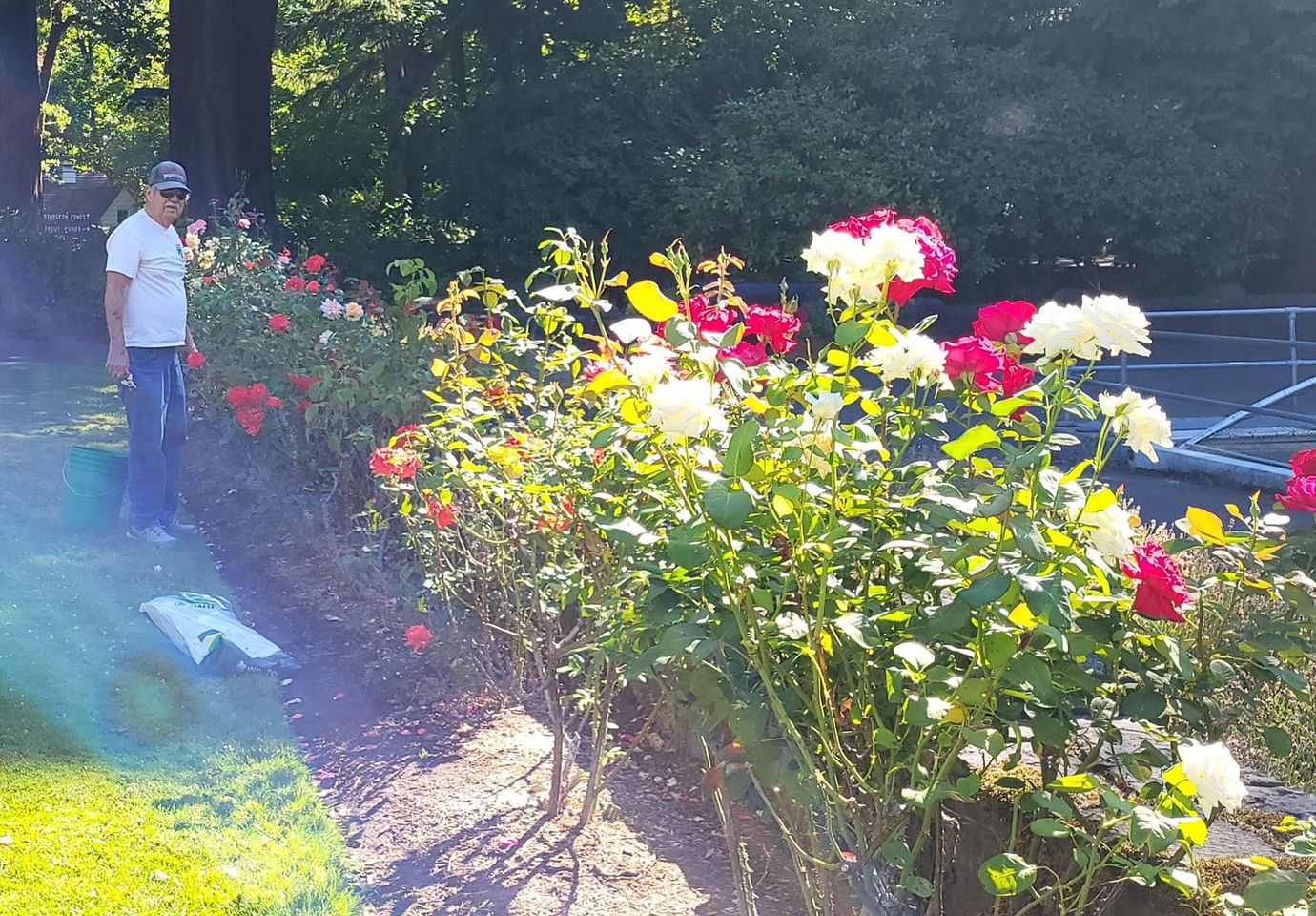

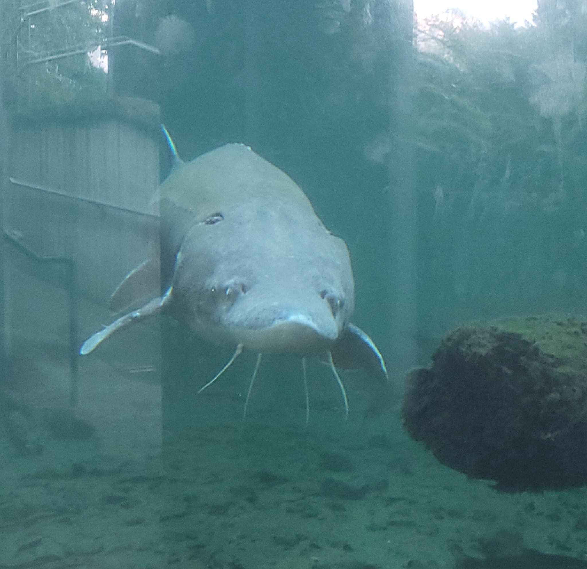
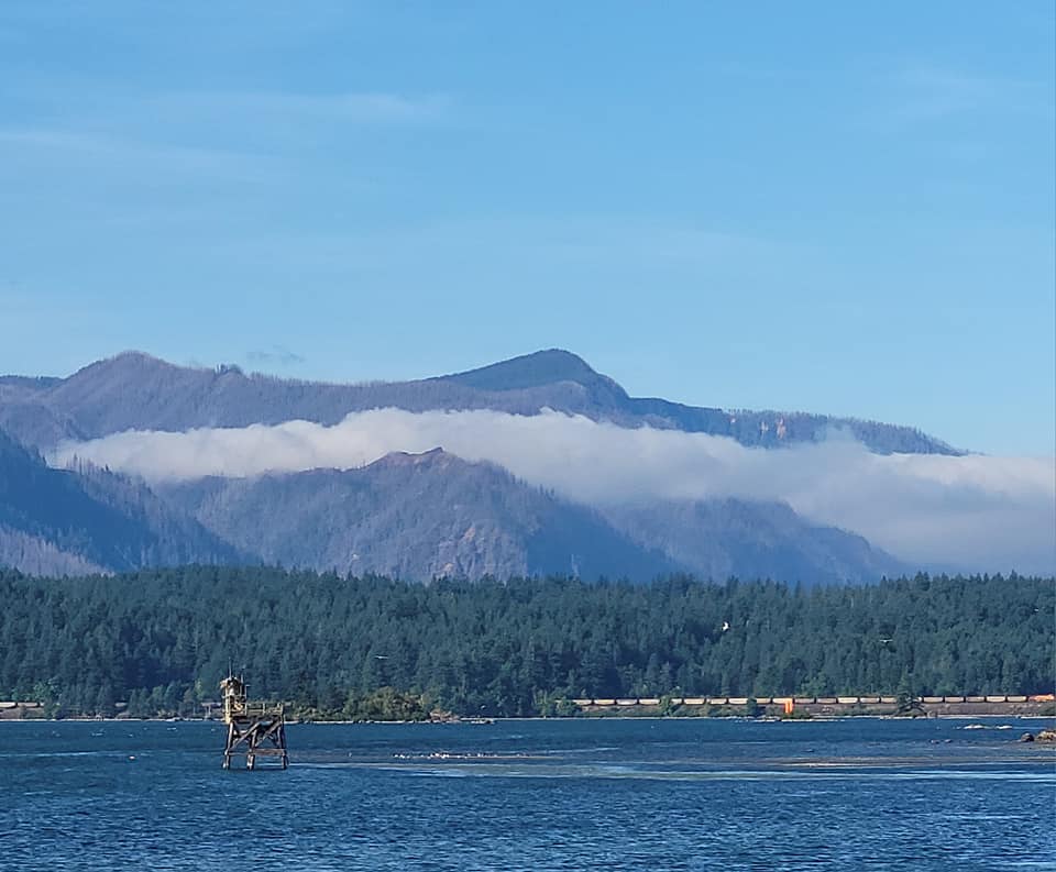

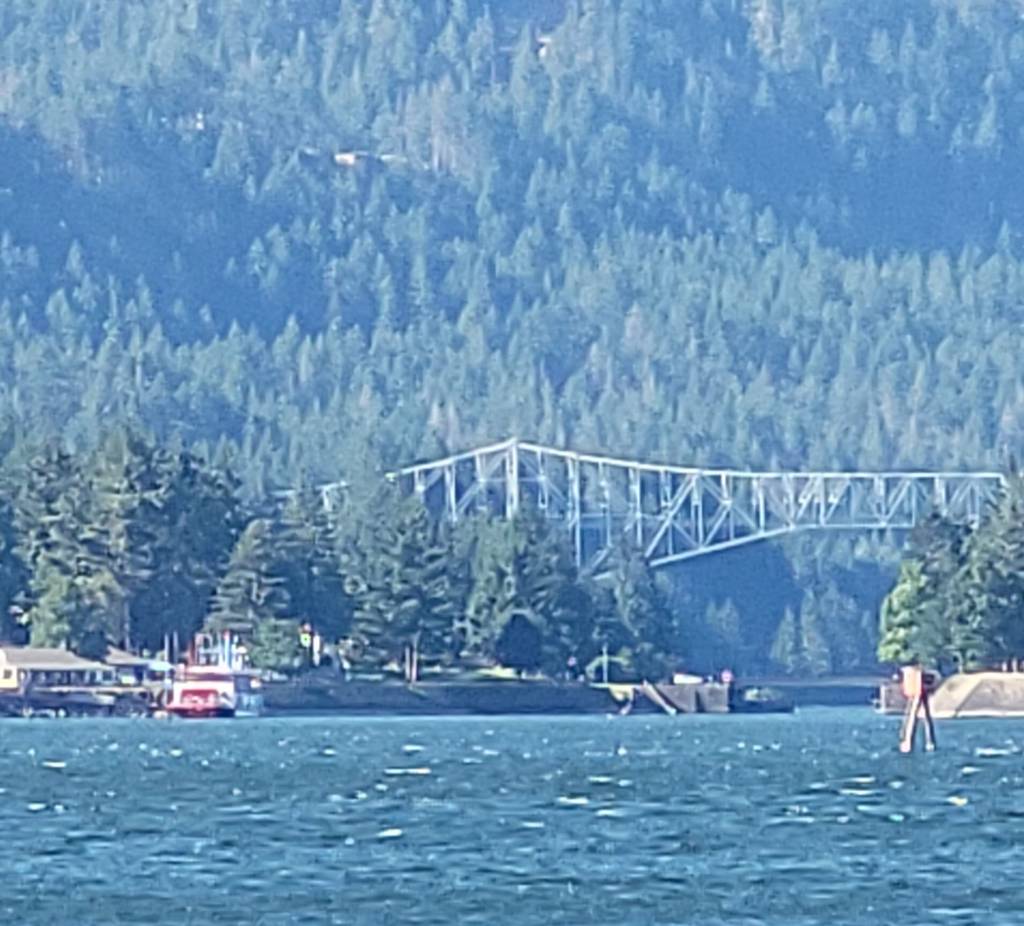


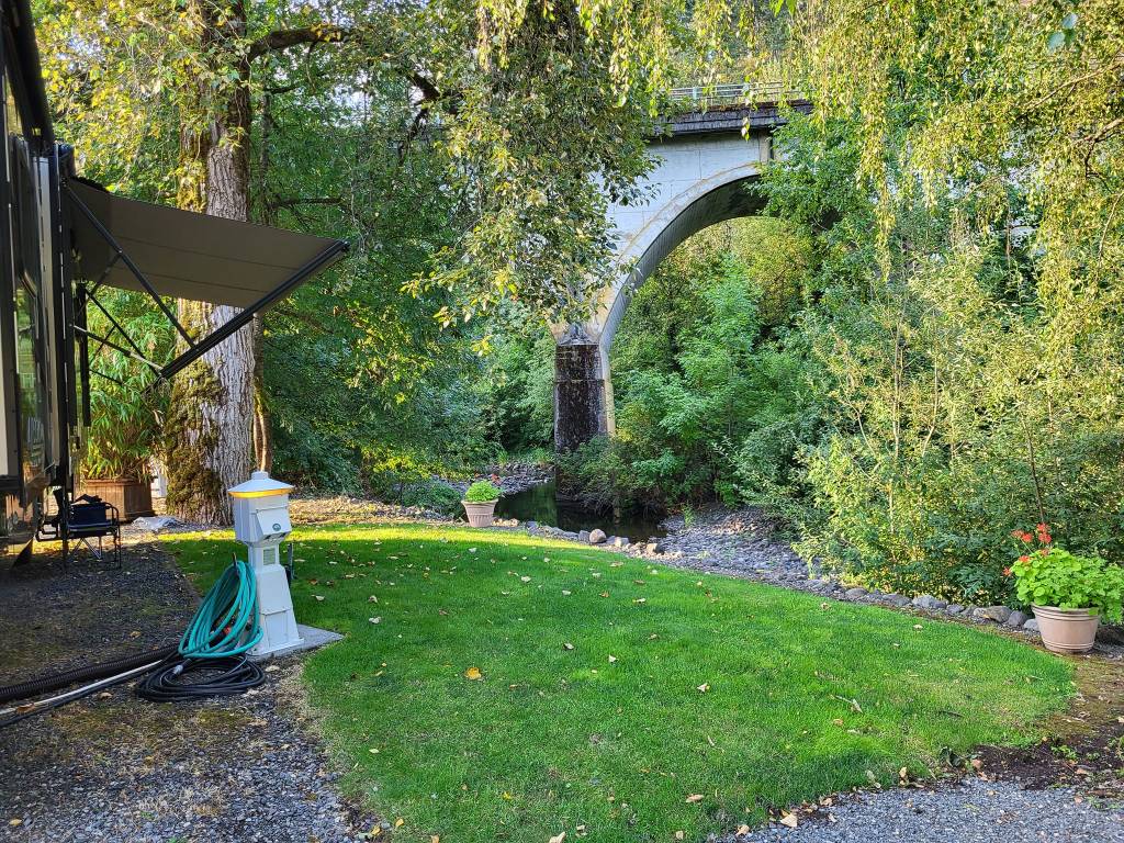


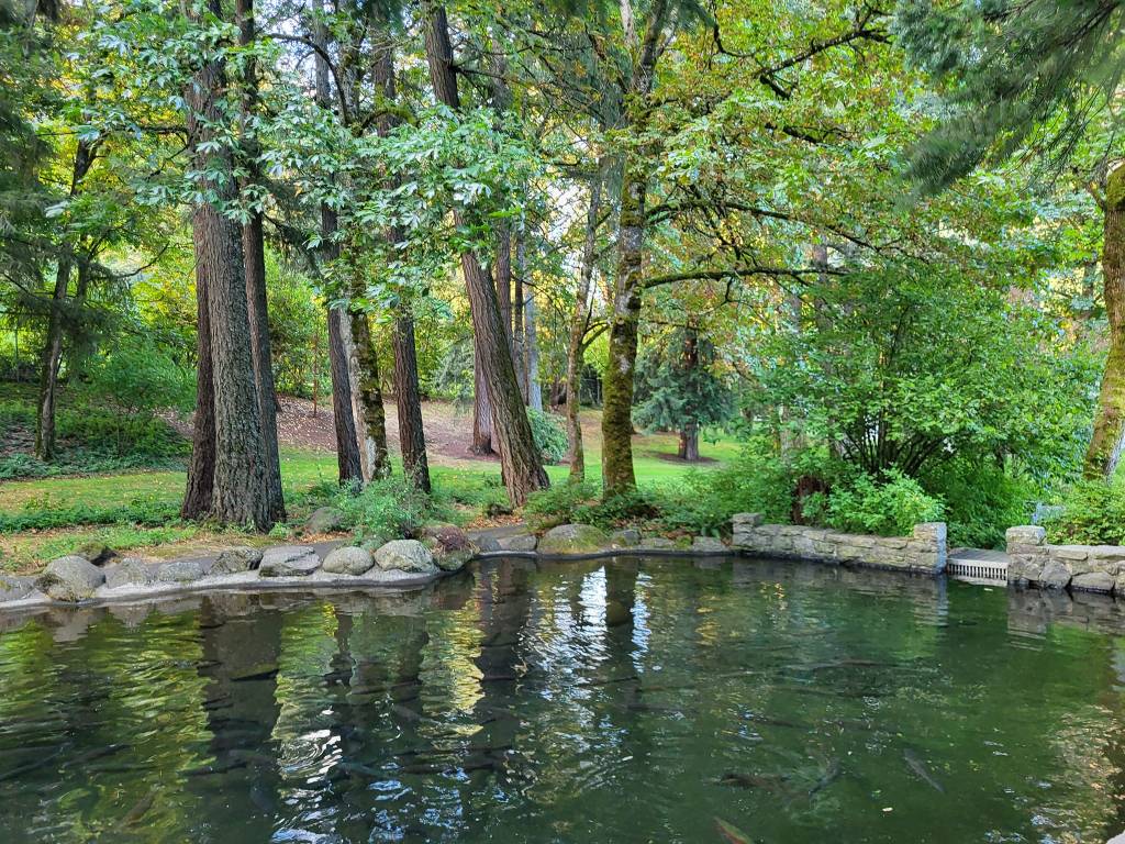
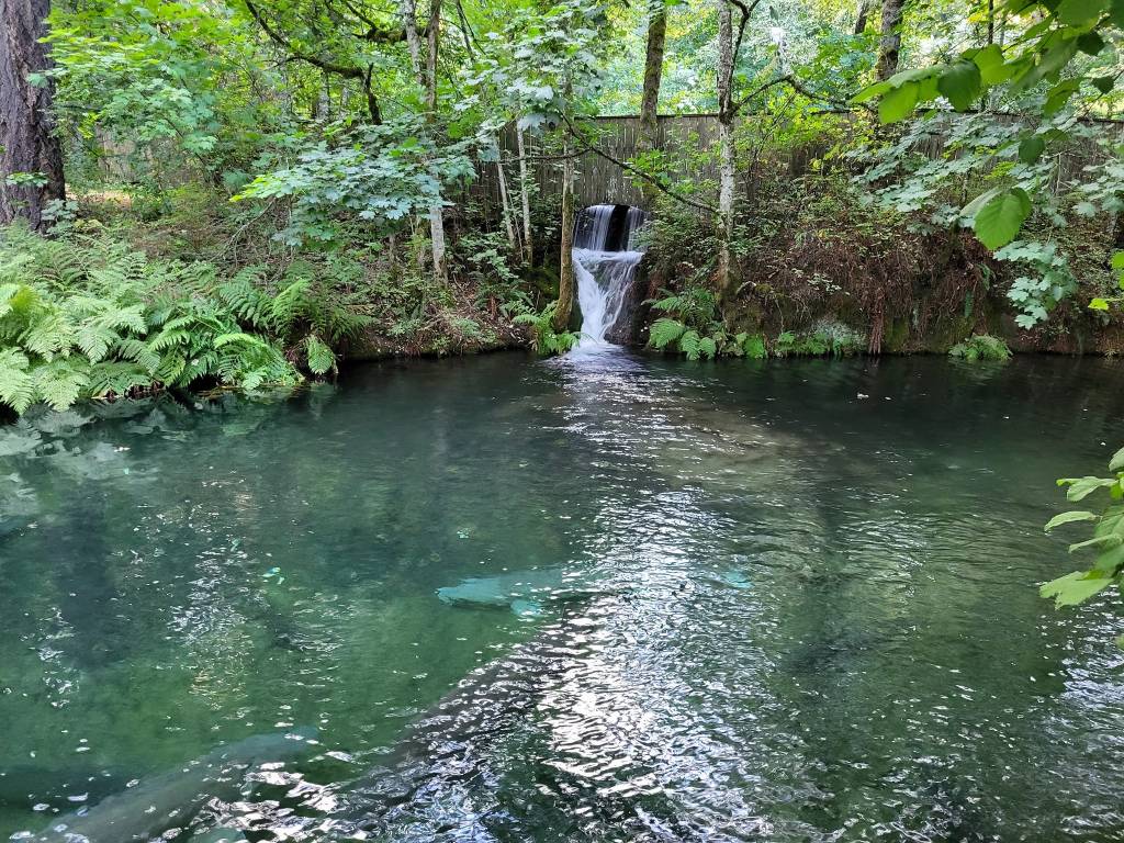

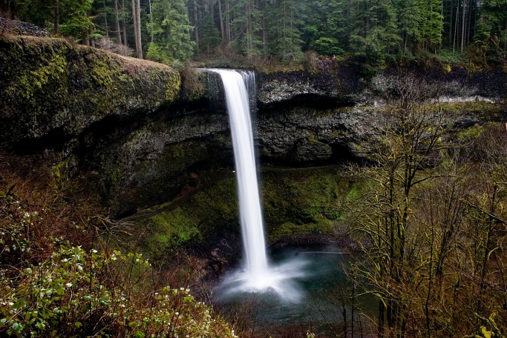


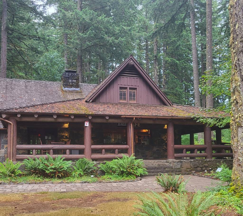

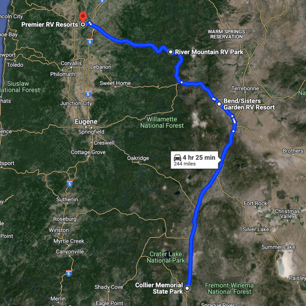
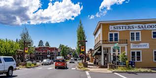

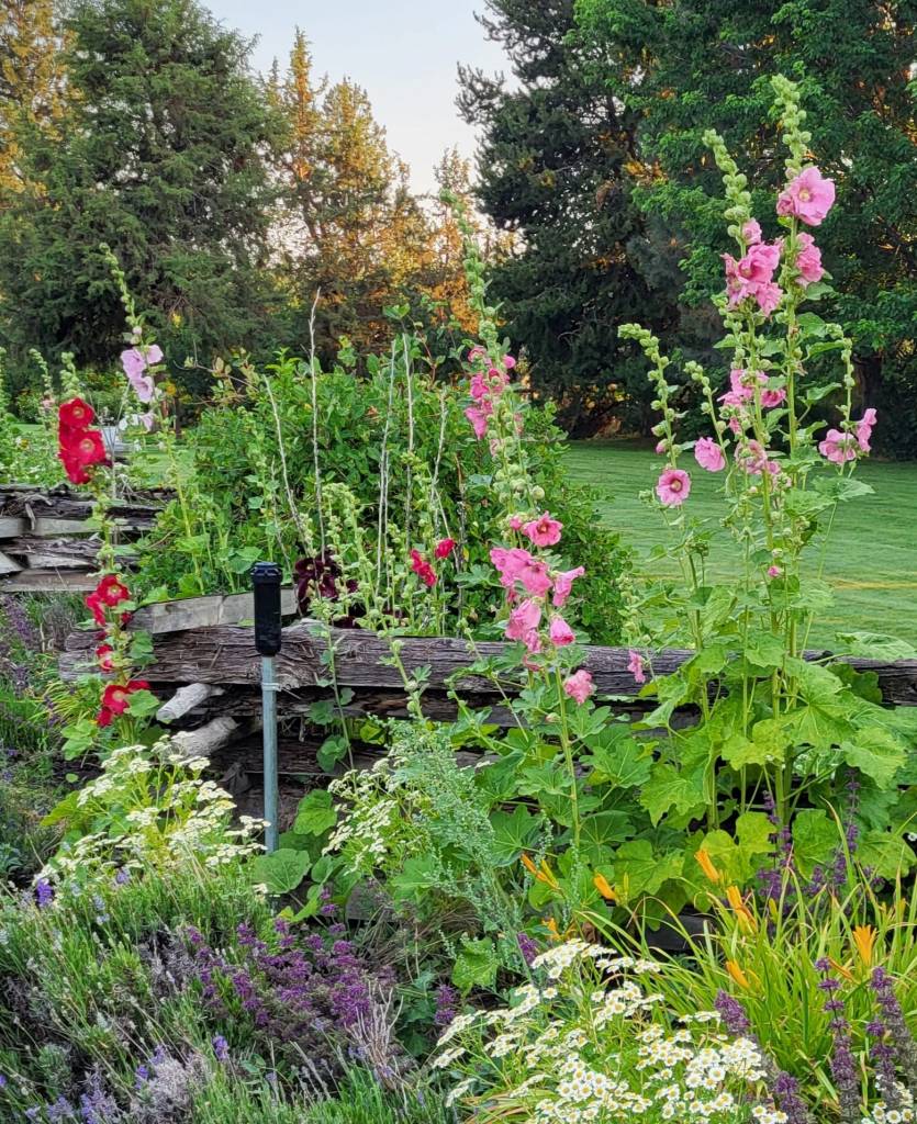


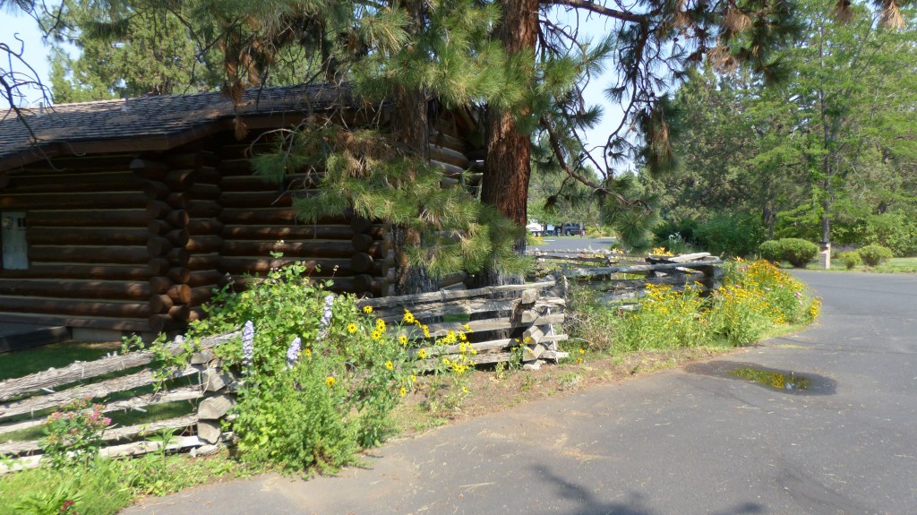


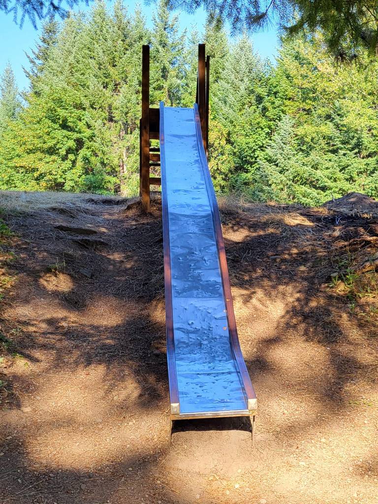
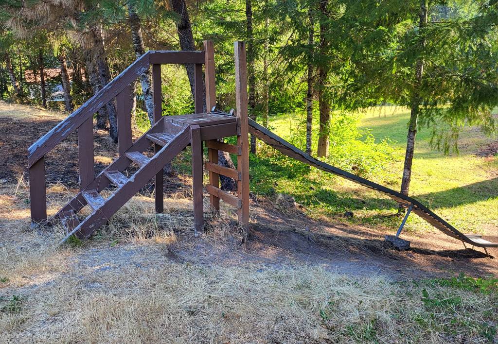
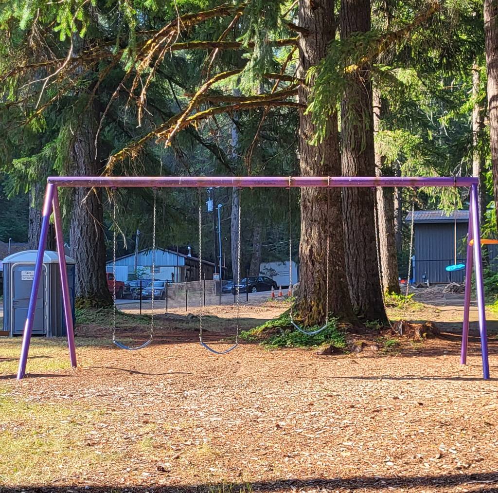
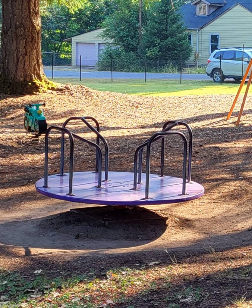
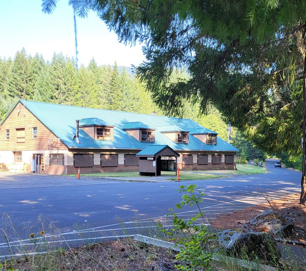
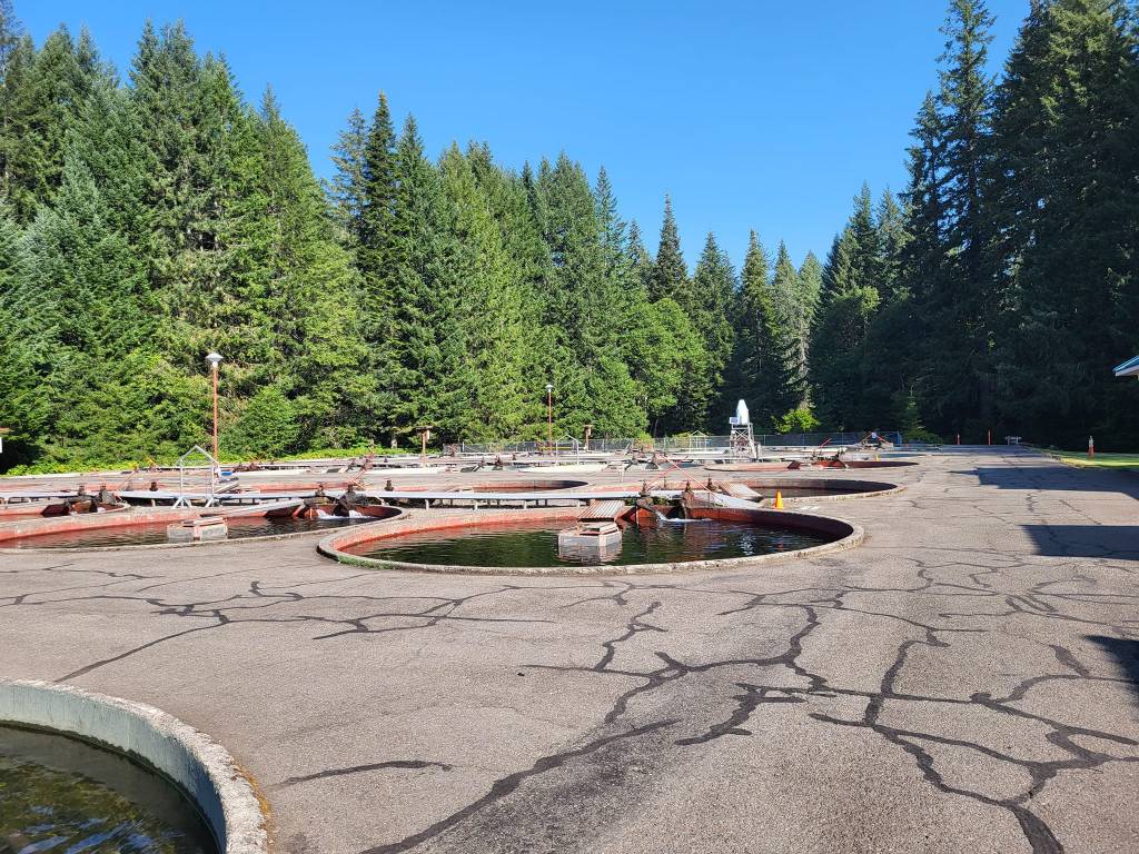

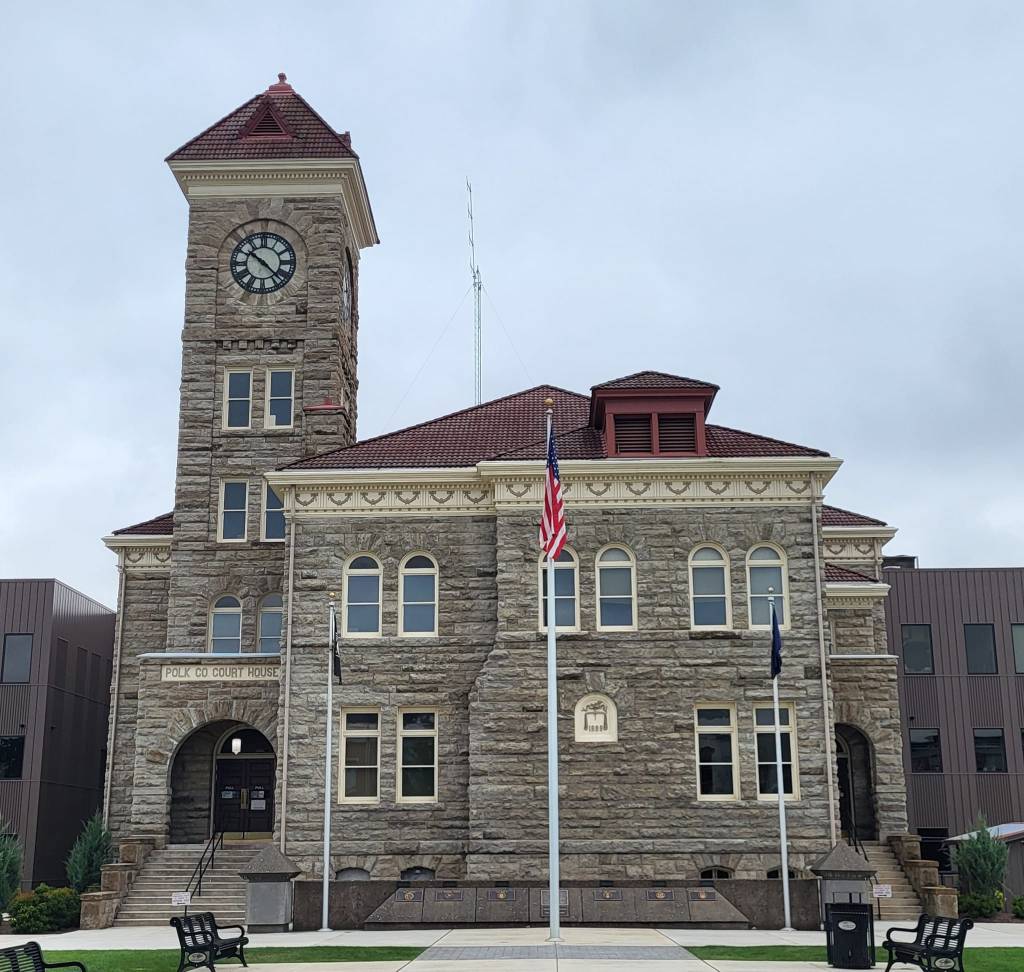


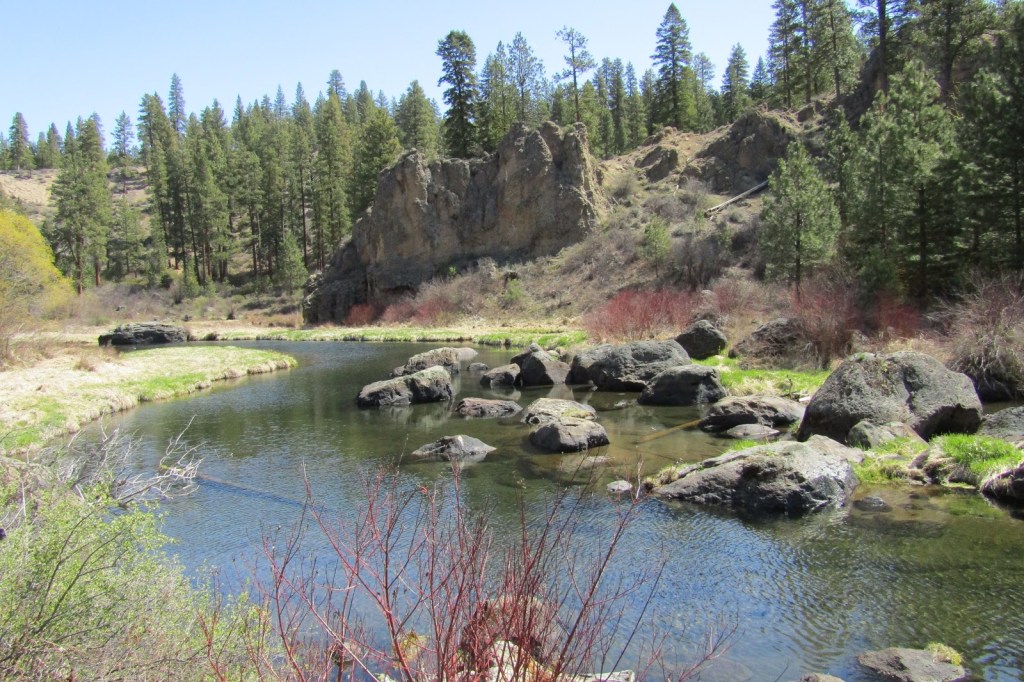

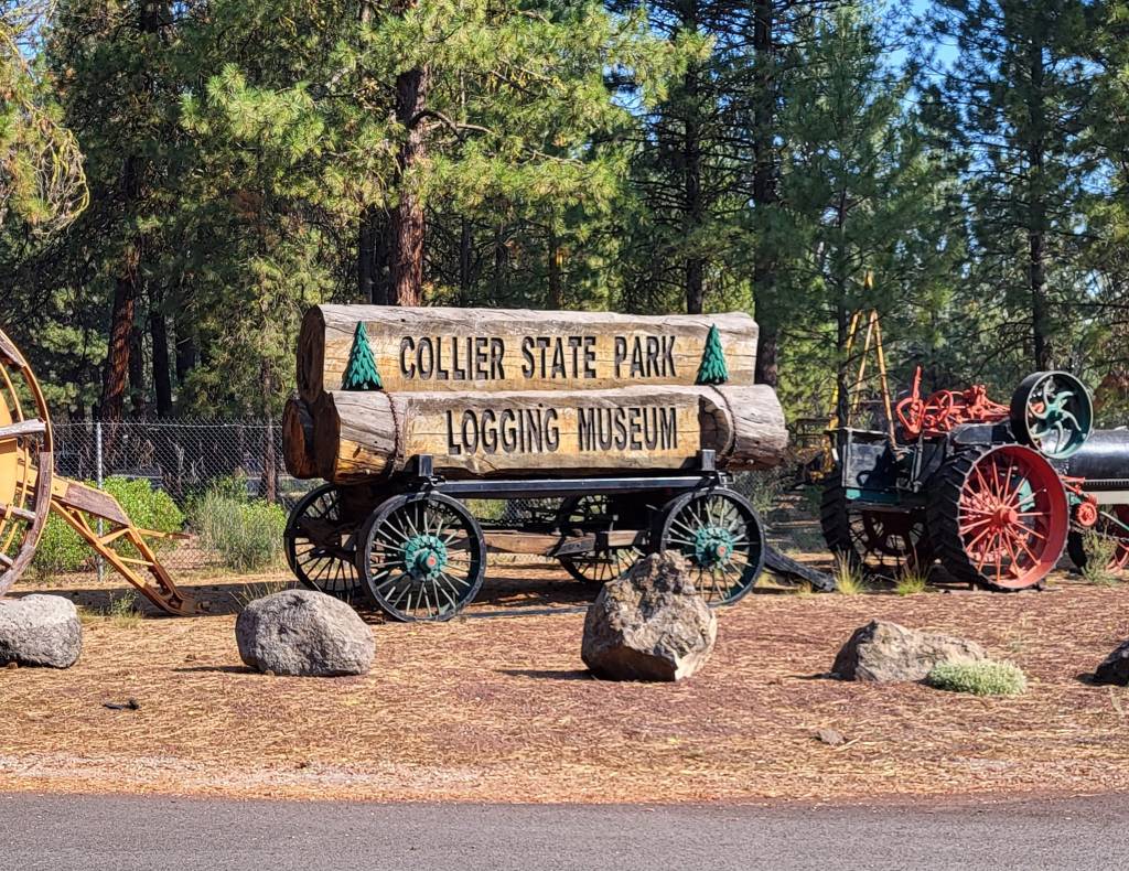

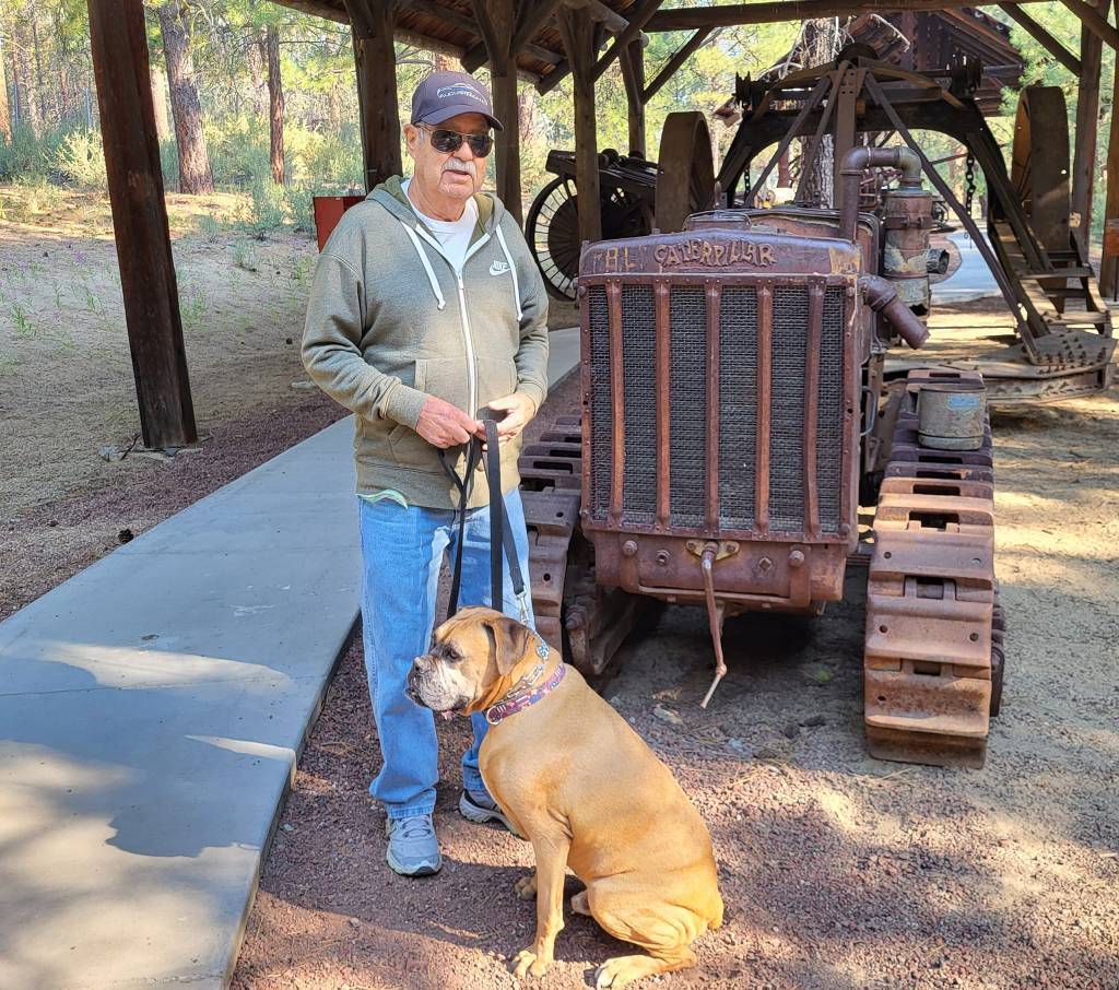

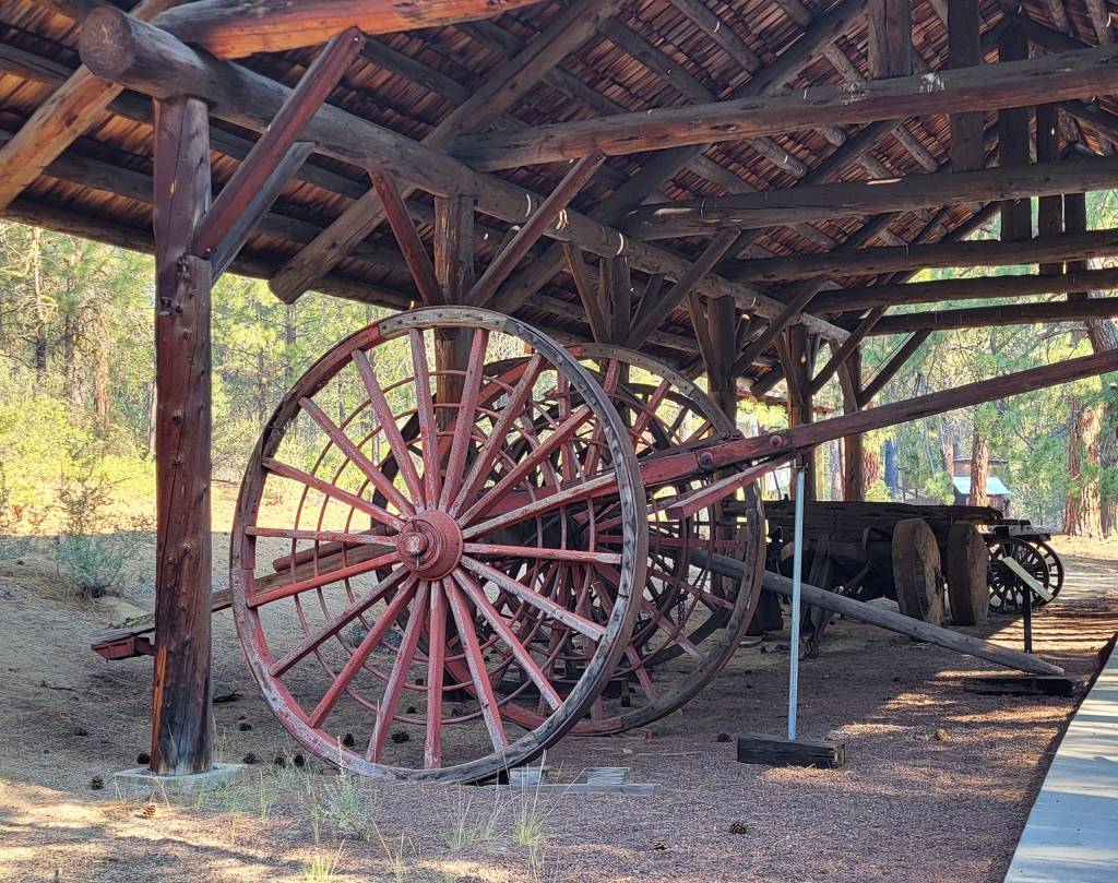


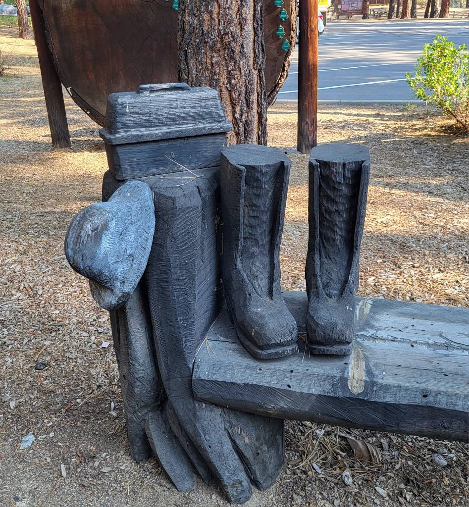
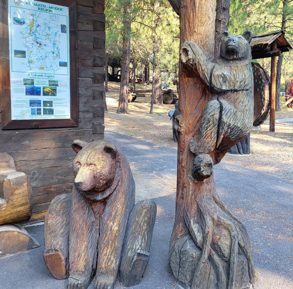

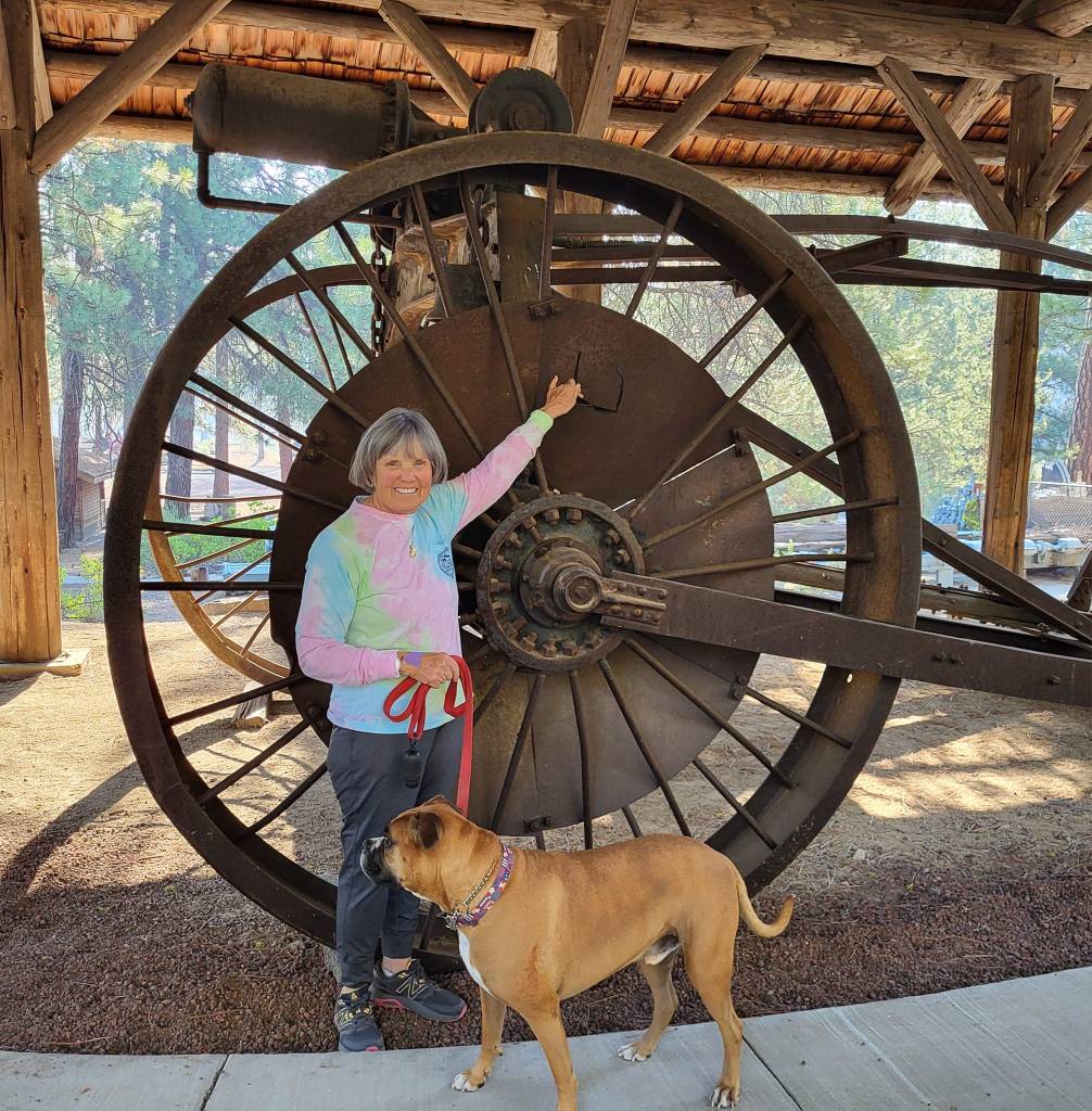

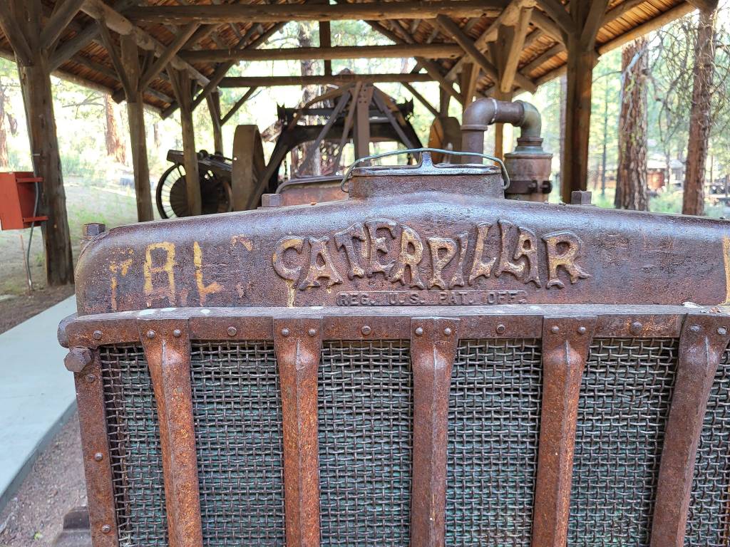


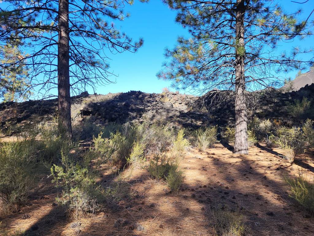
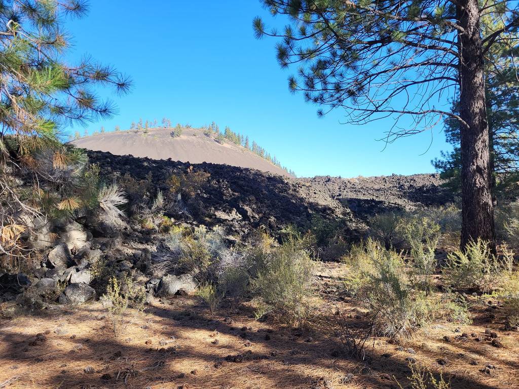


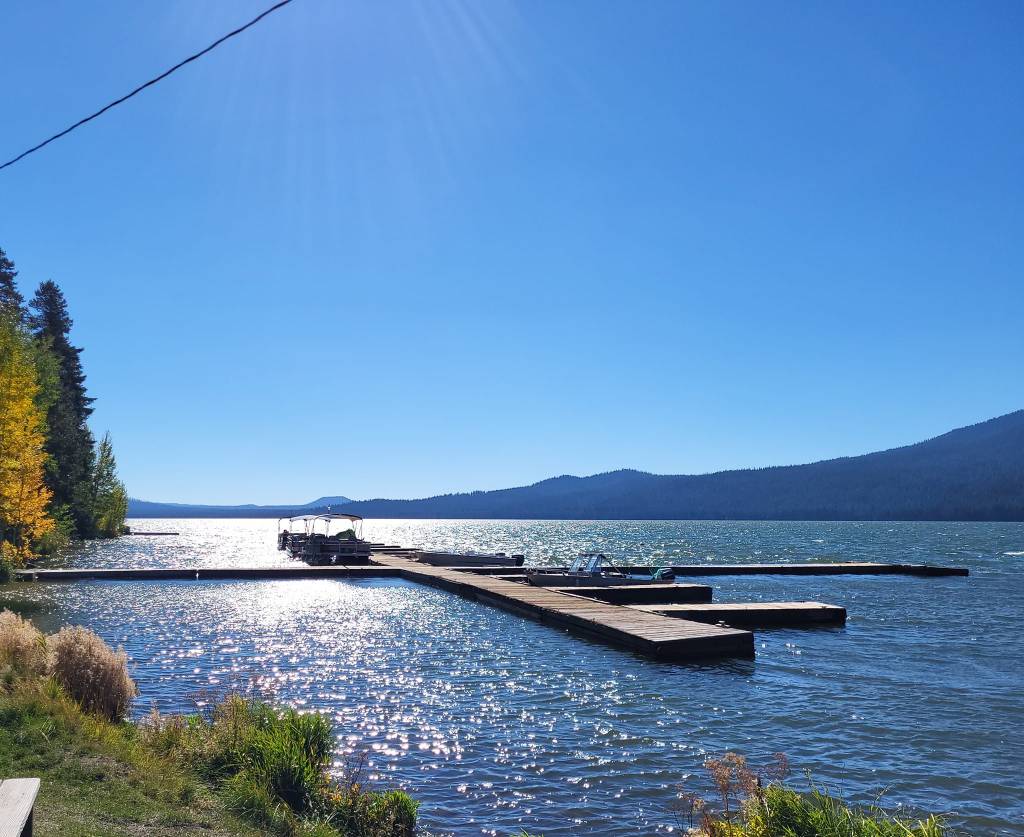

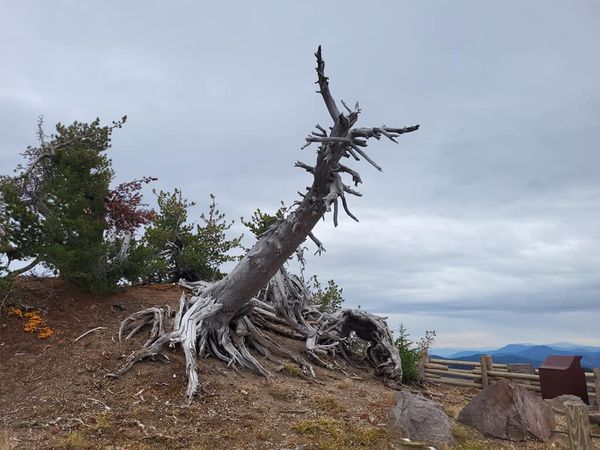


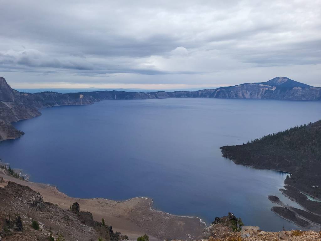


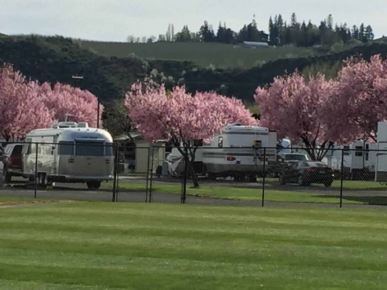


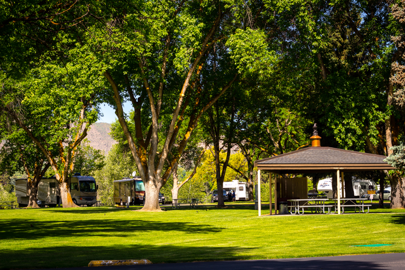

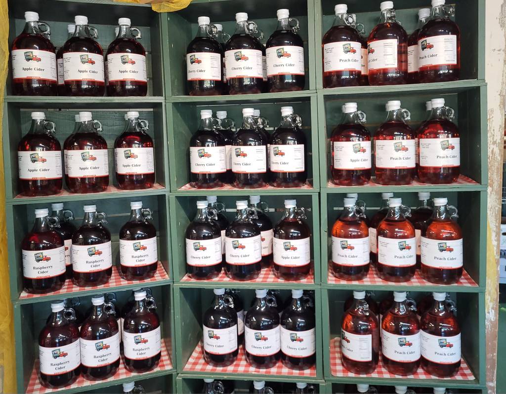

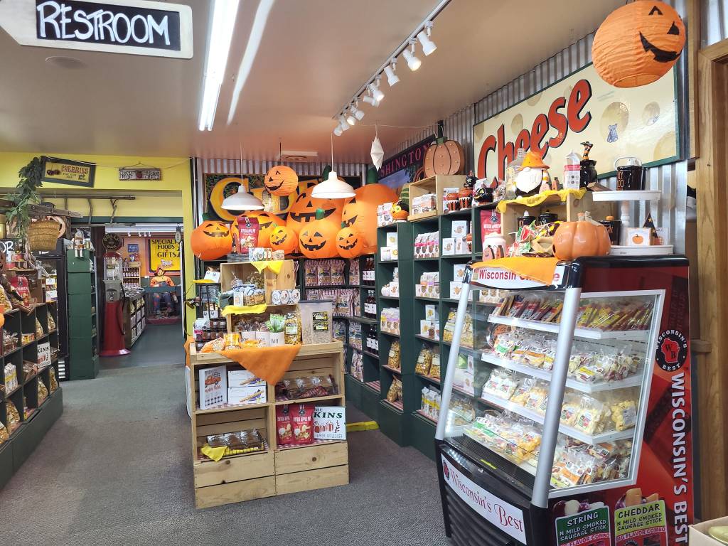
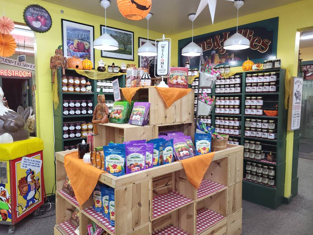


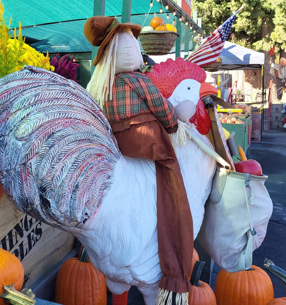


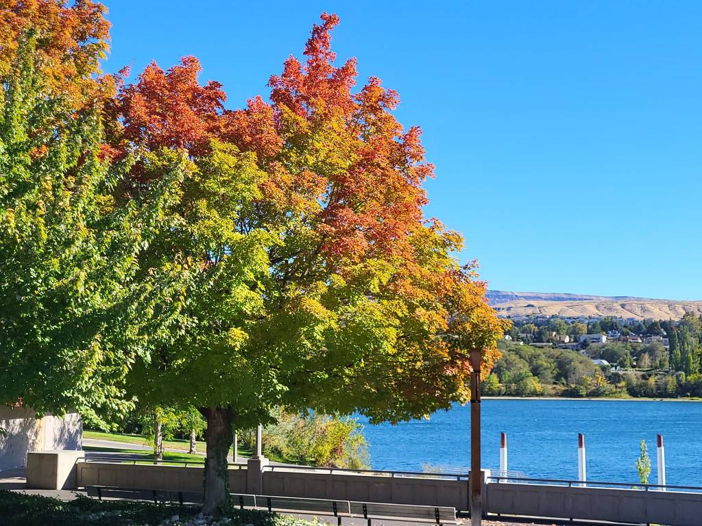

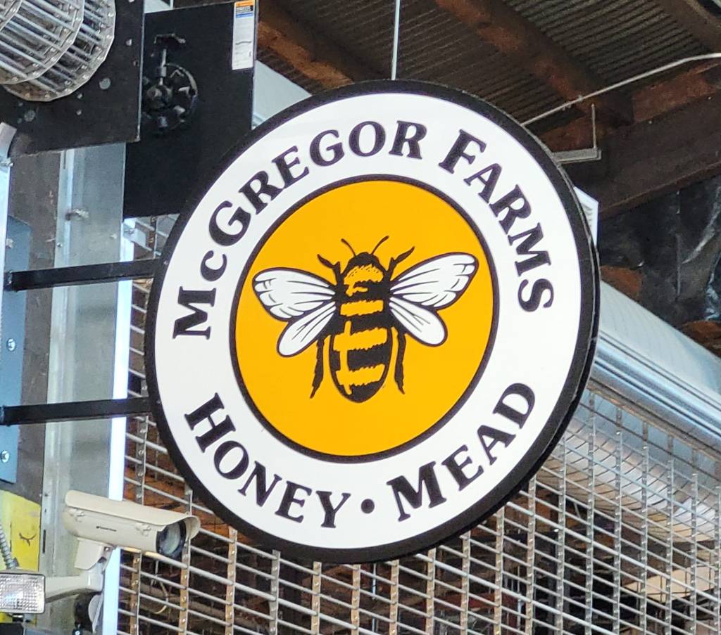


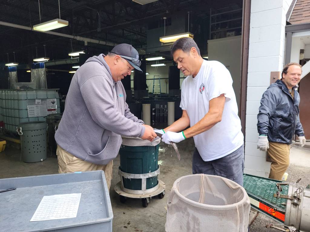


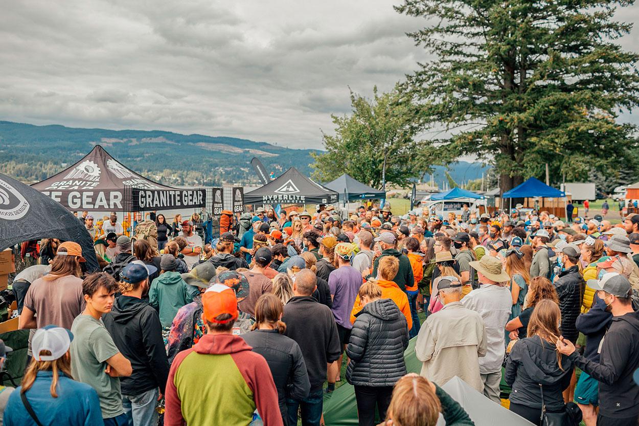


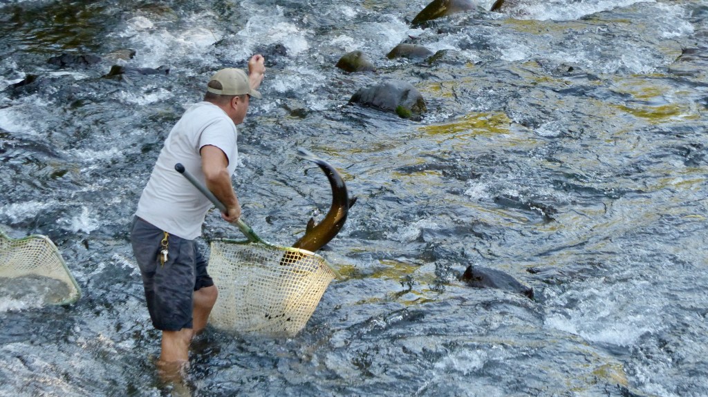


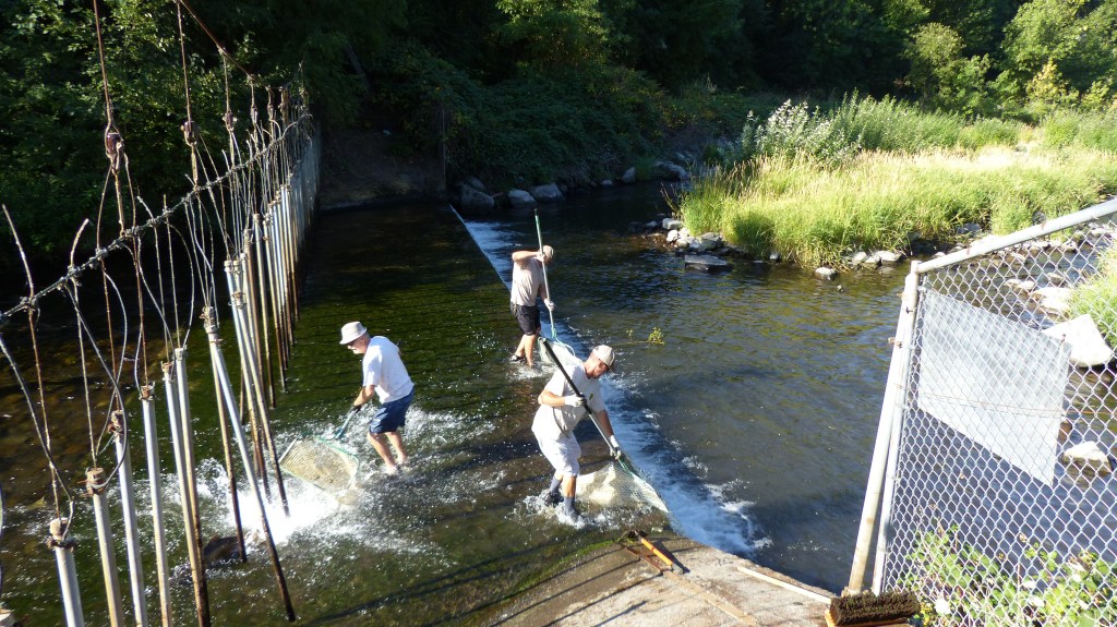


1626906322-48367.jpg)
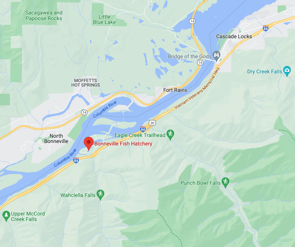
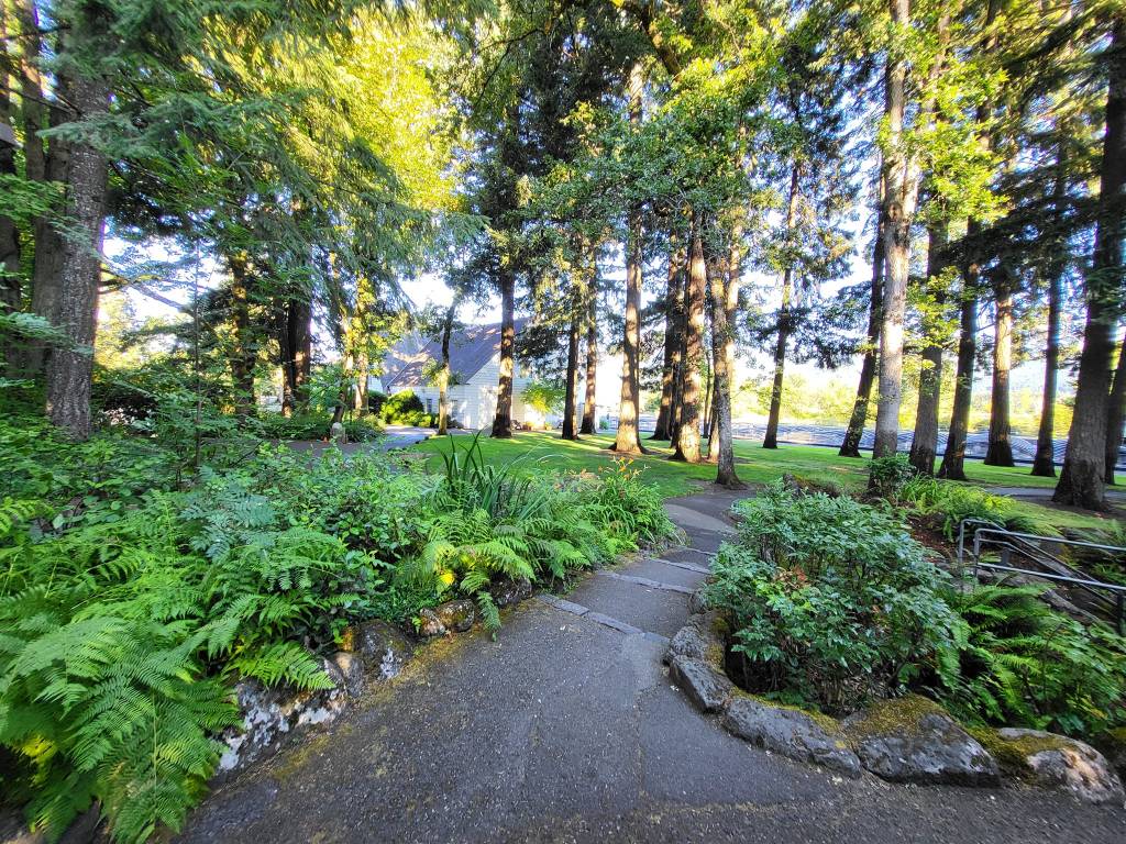

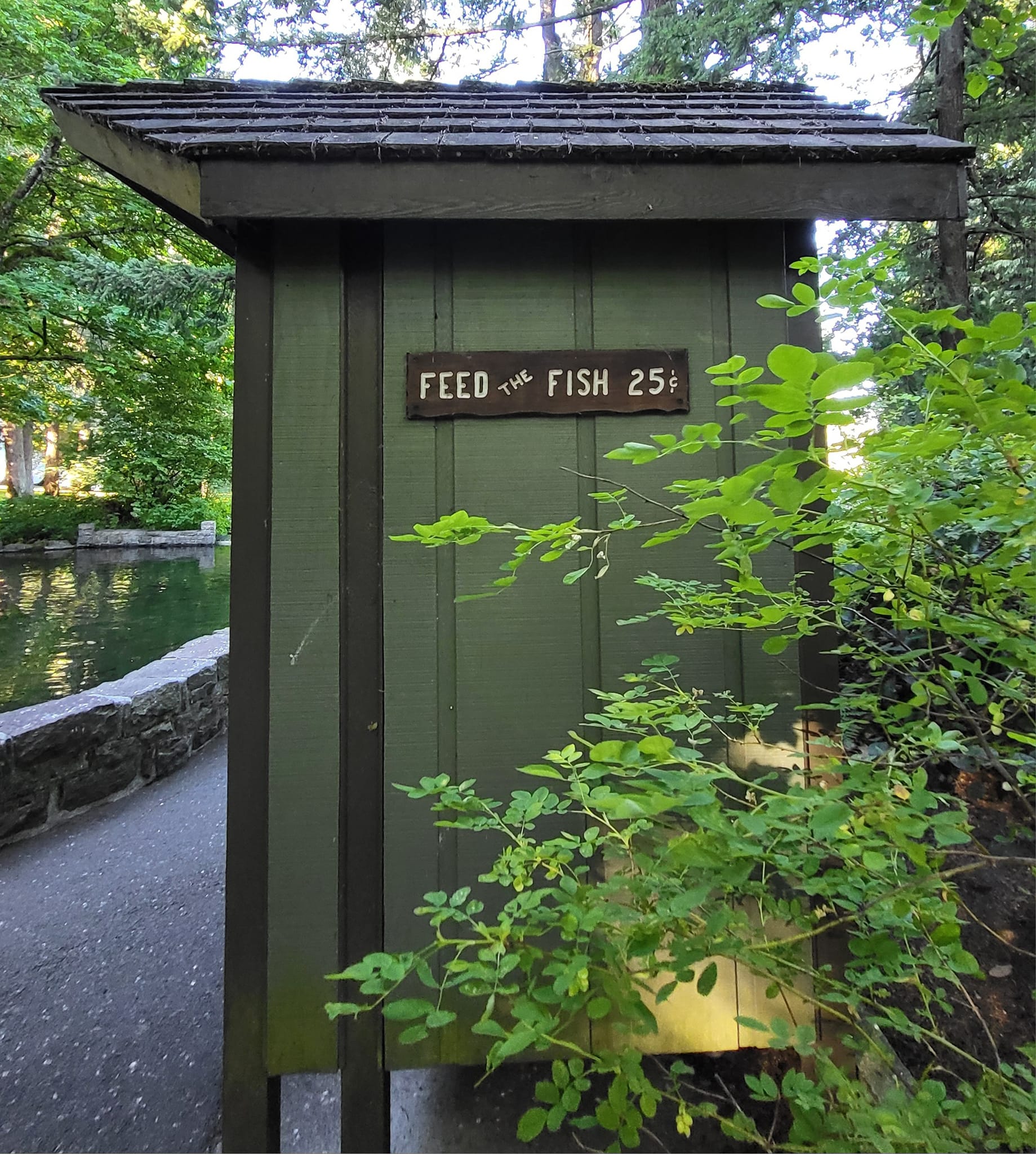
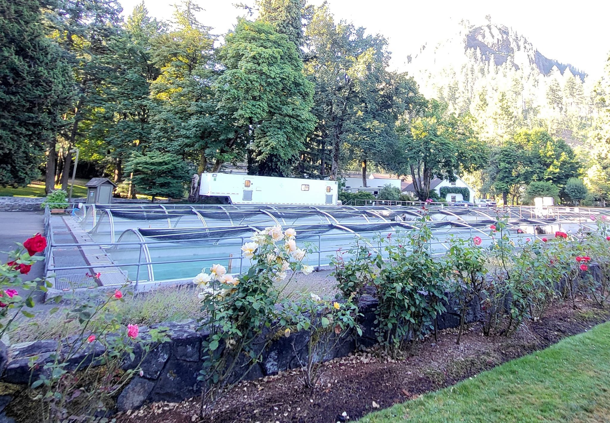


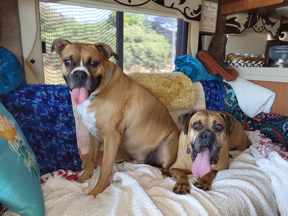


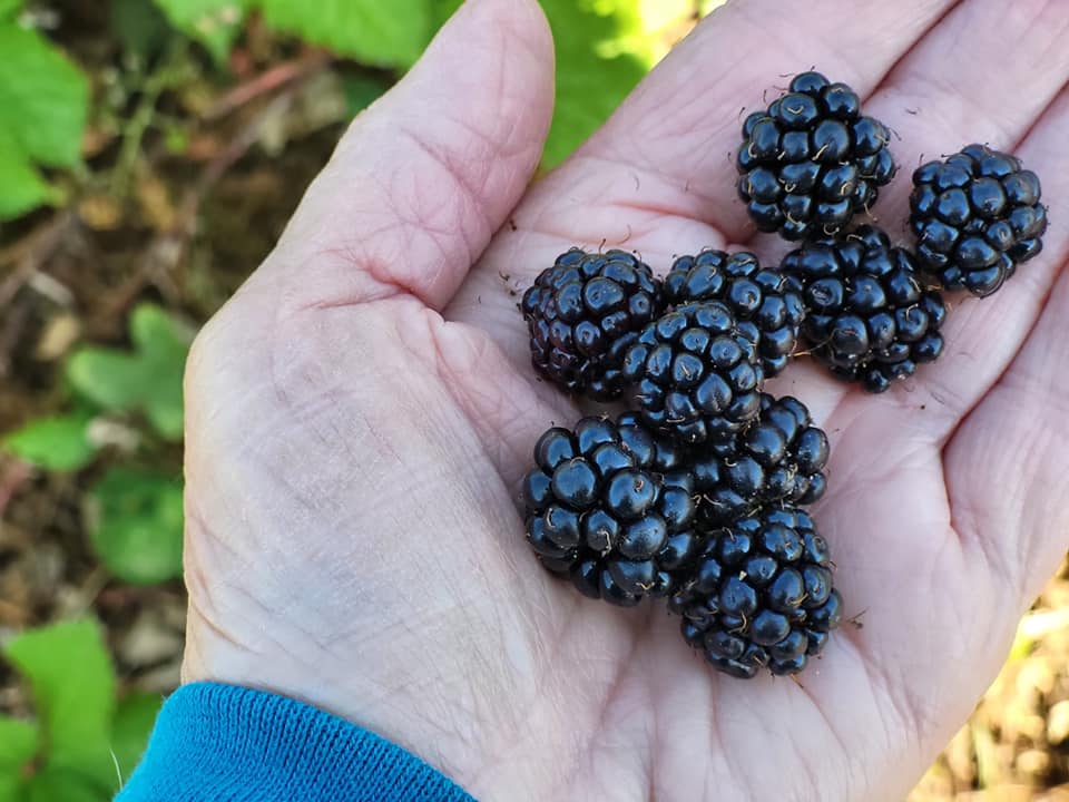


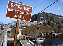


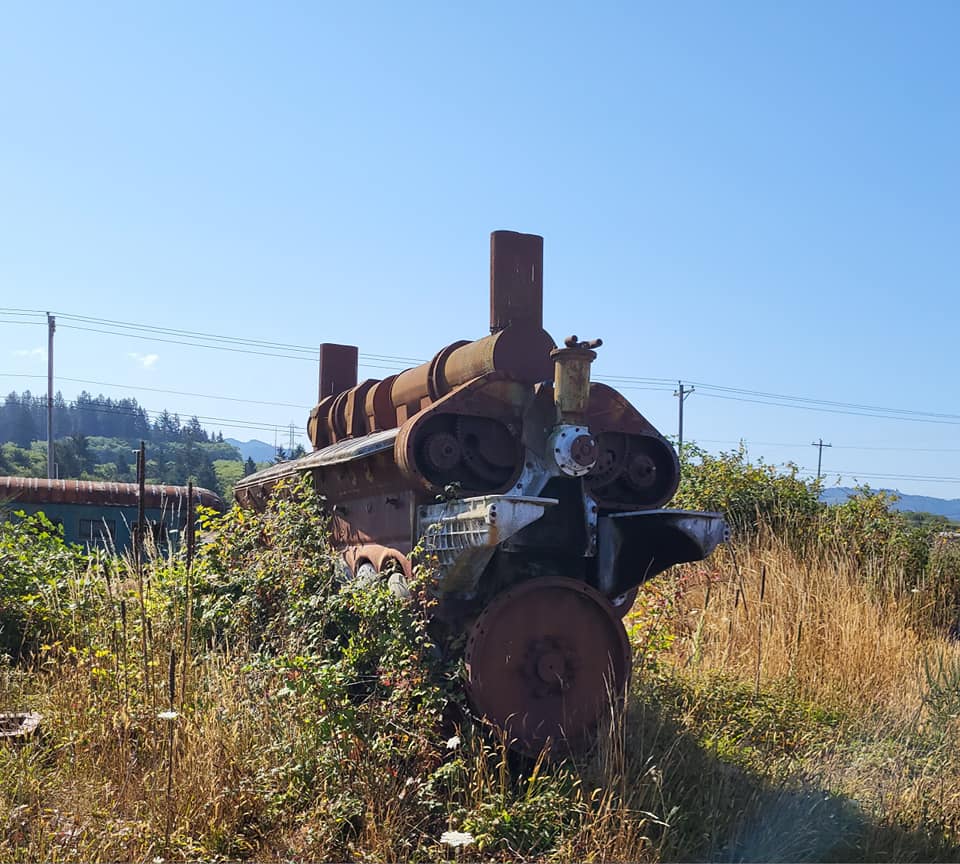


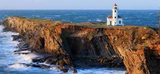


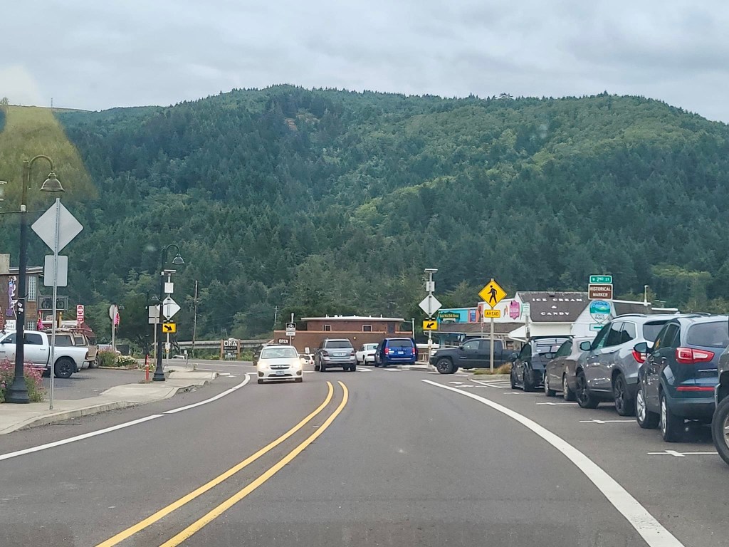


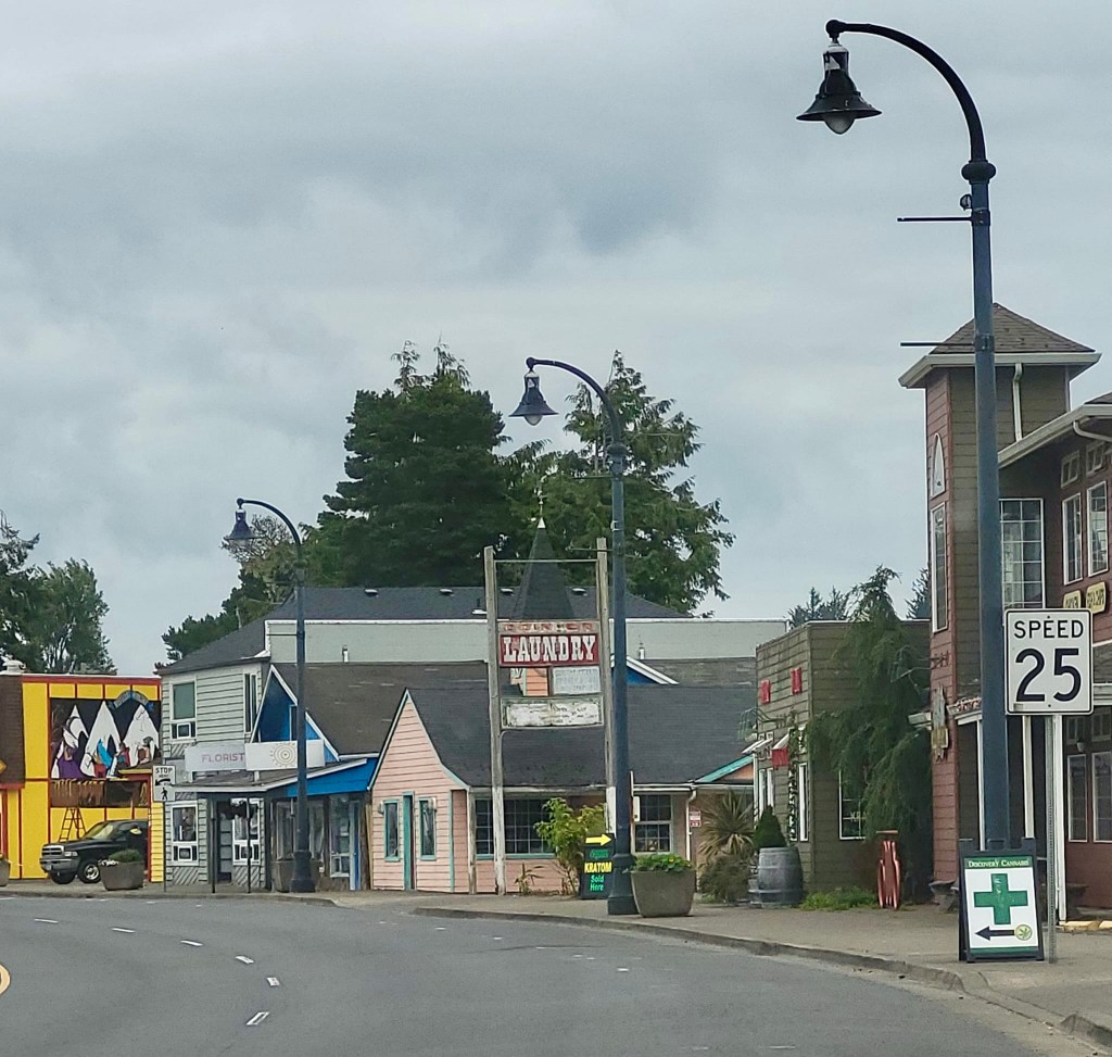

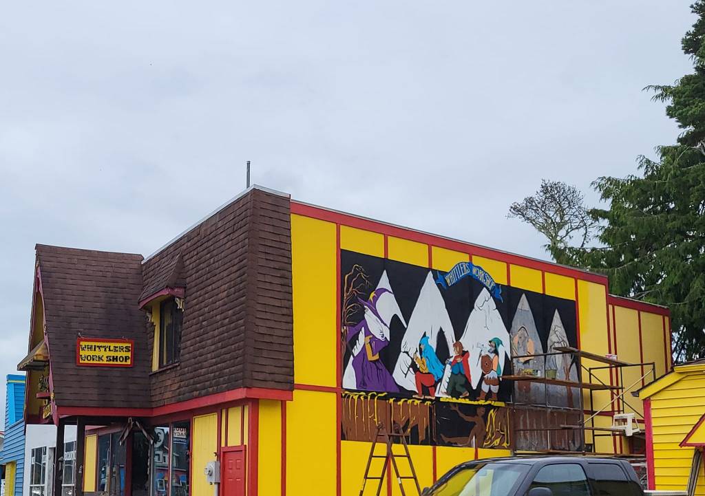


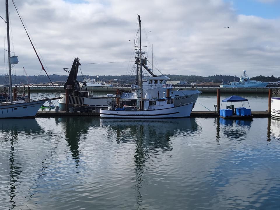


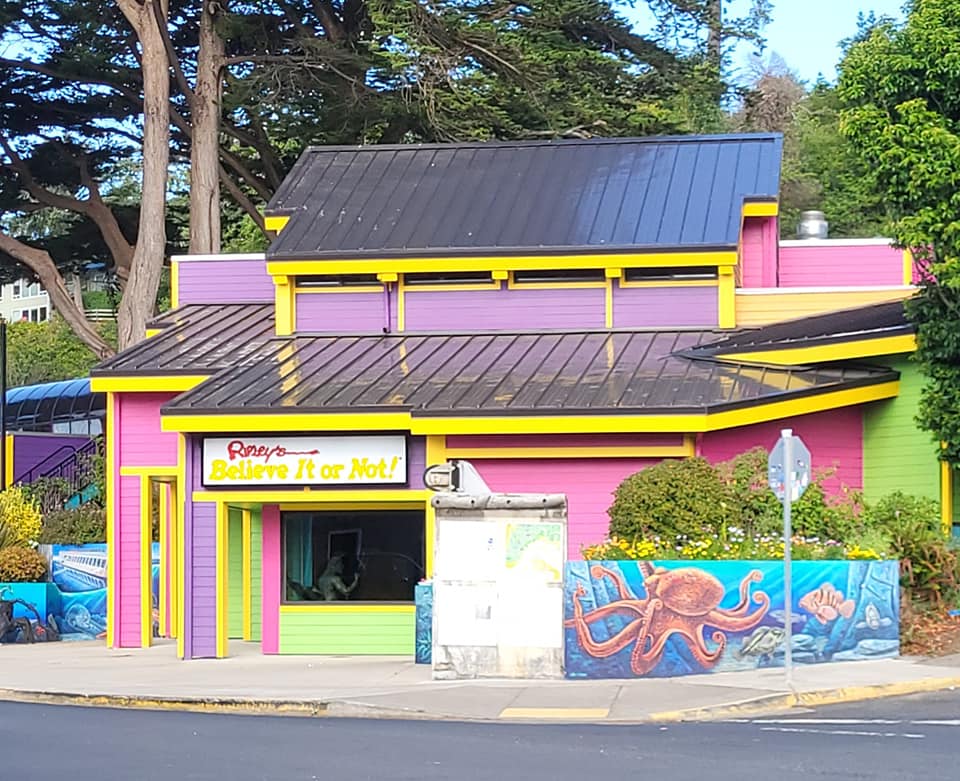


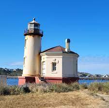


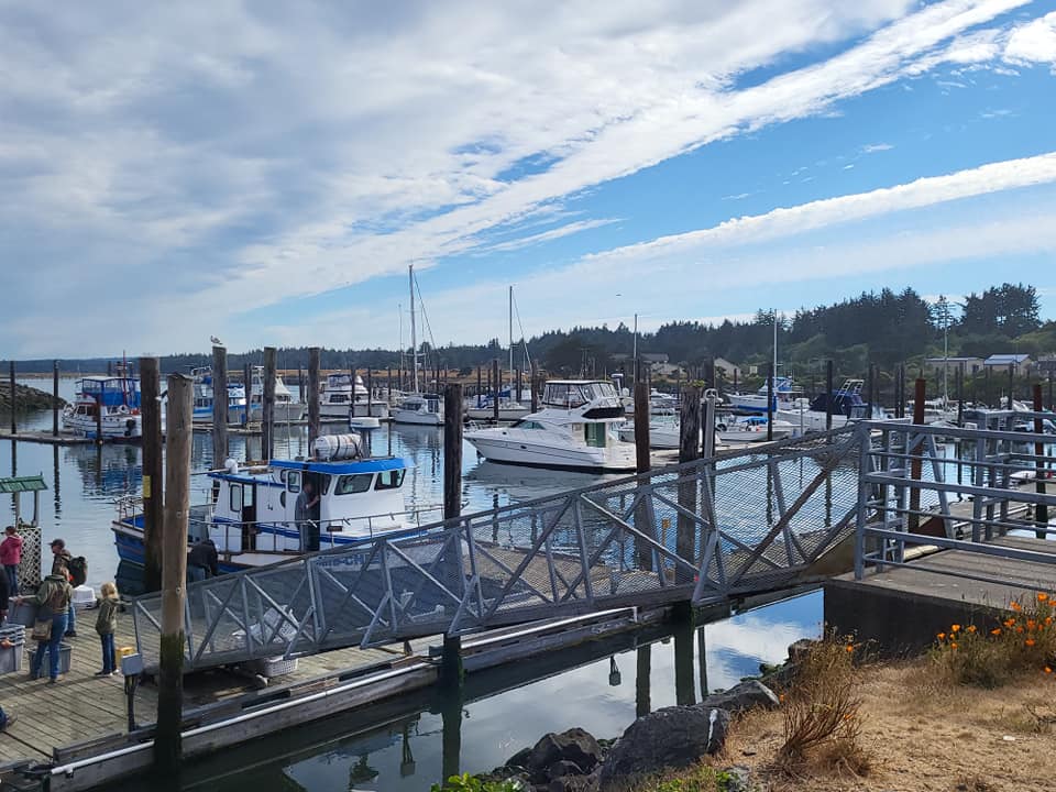
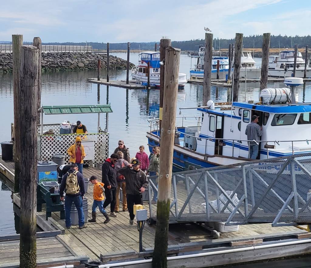


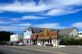
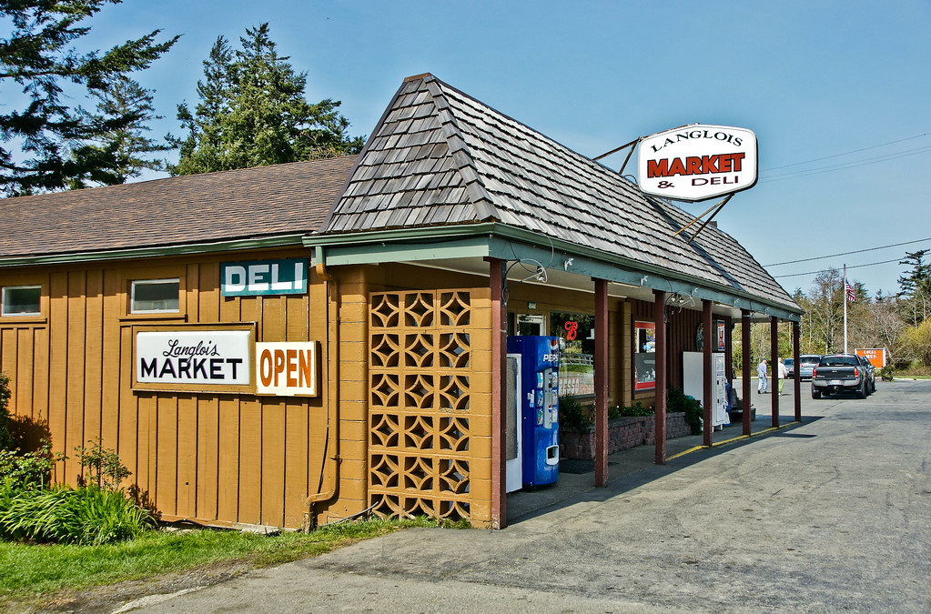


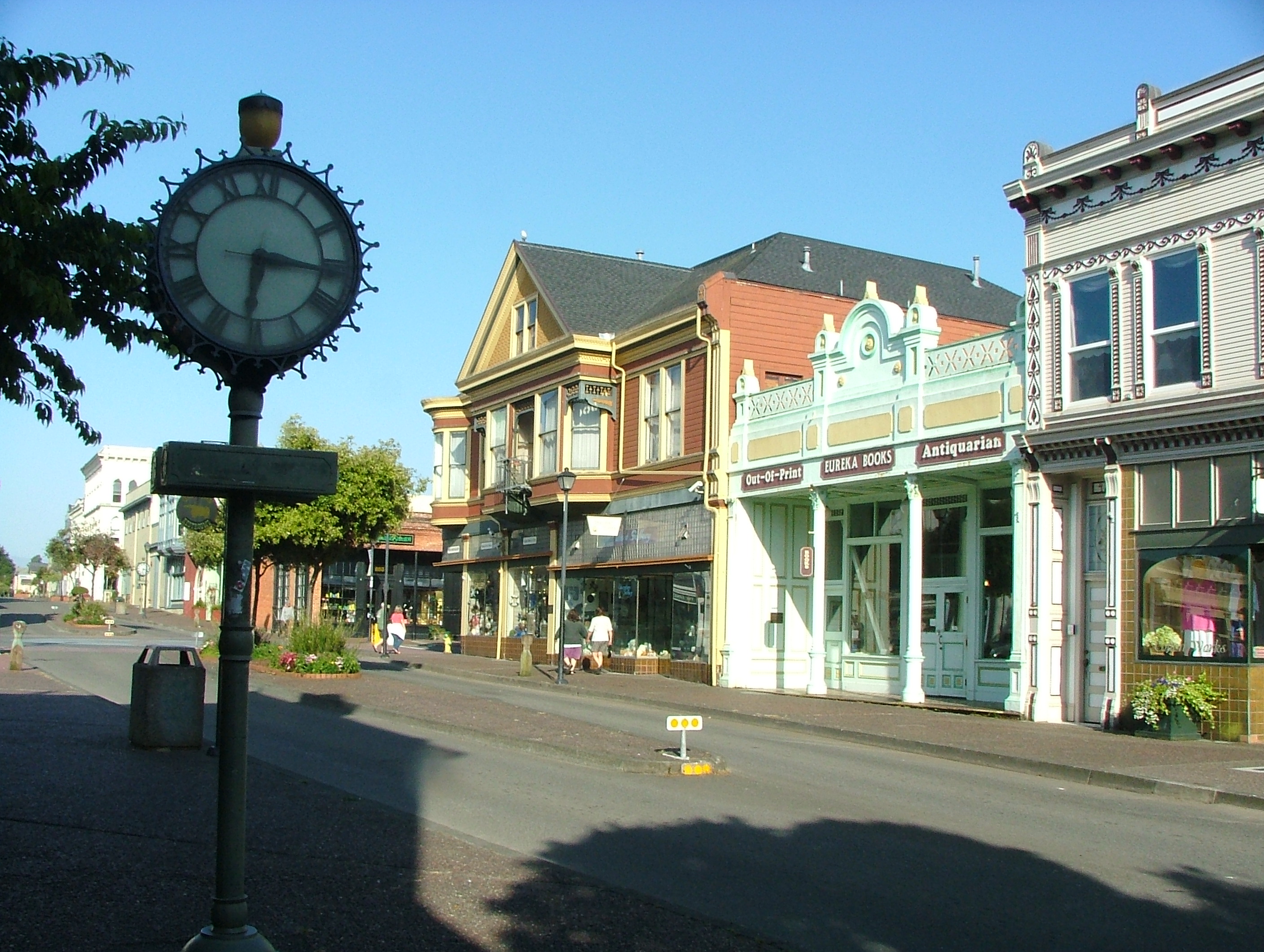
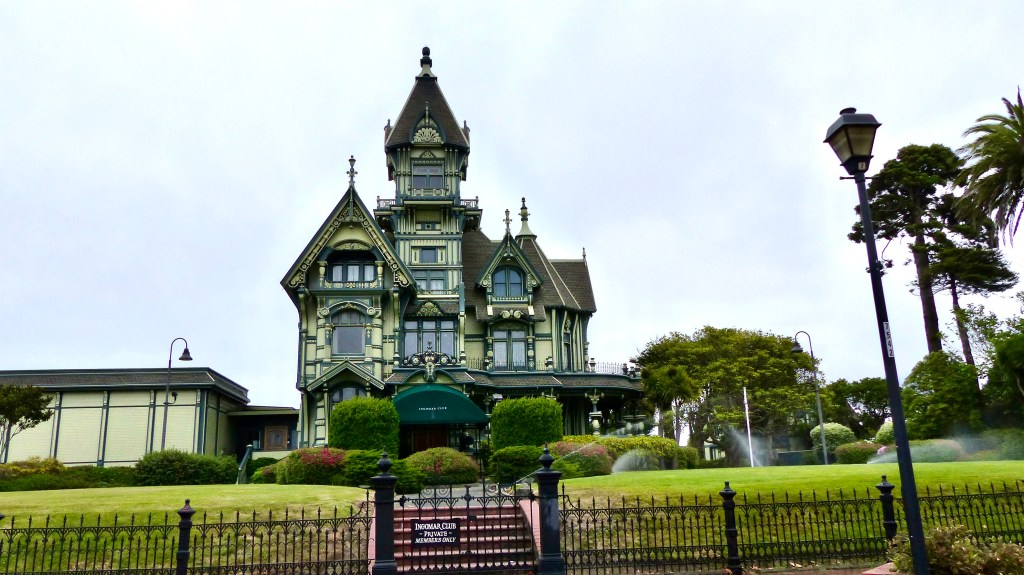


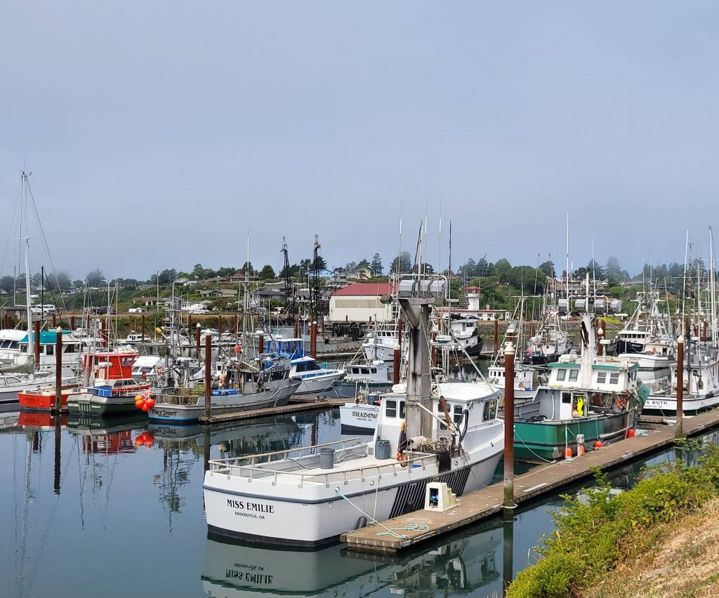
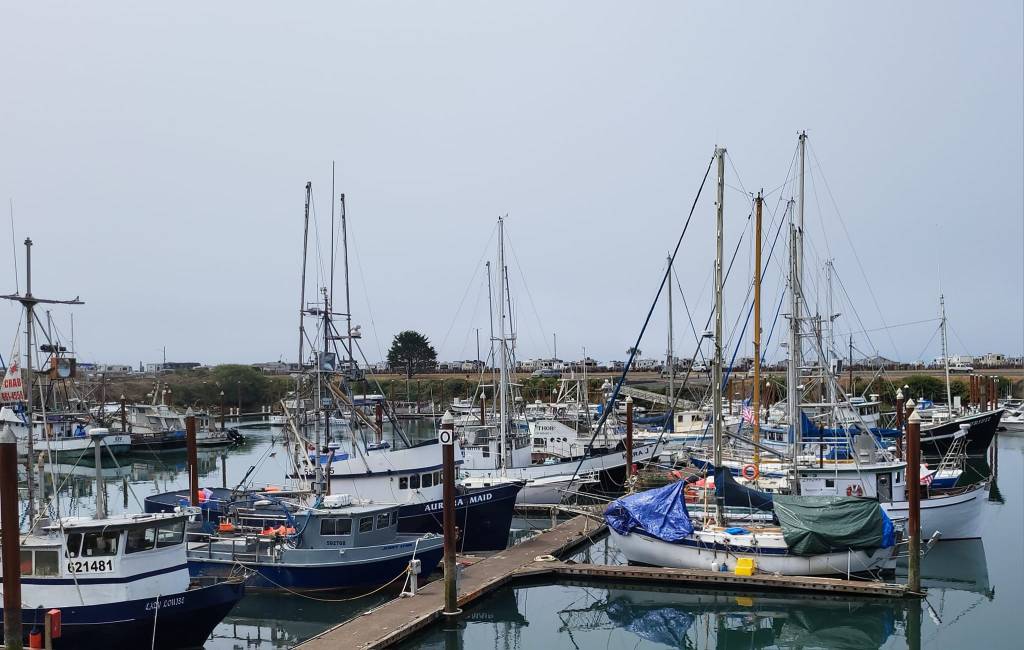
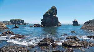


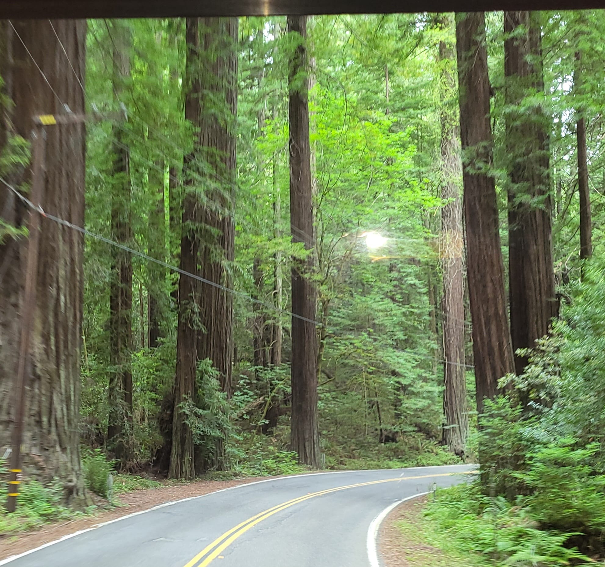

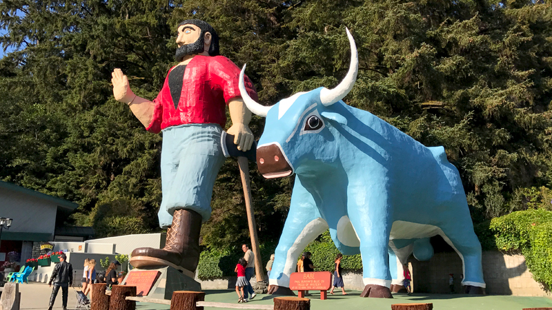
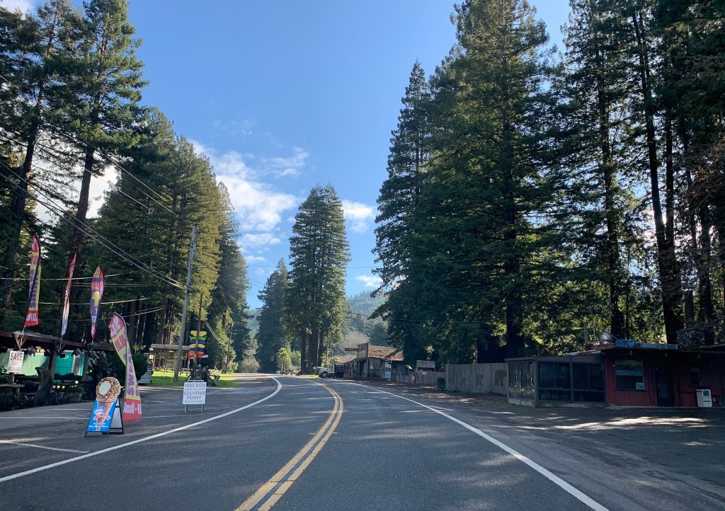
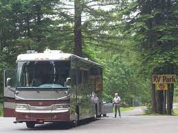
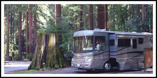


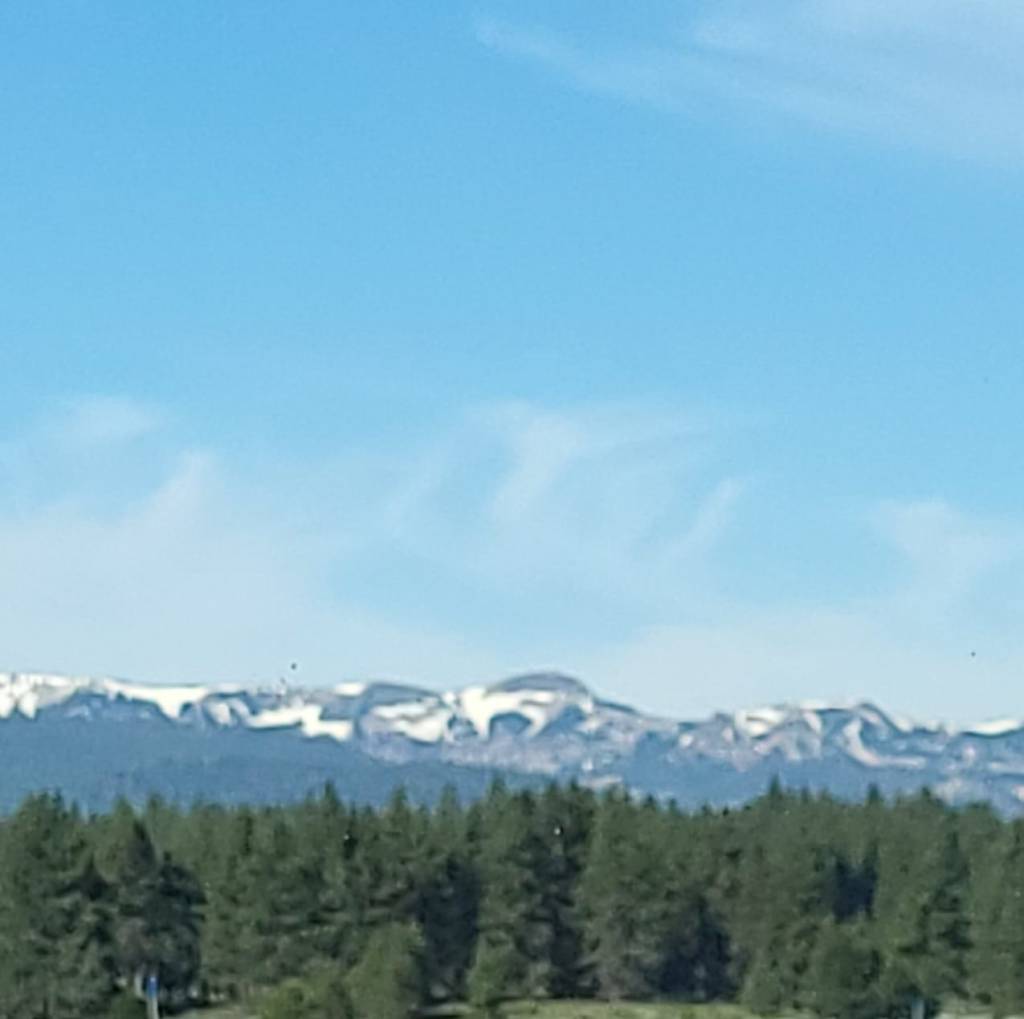

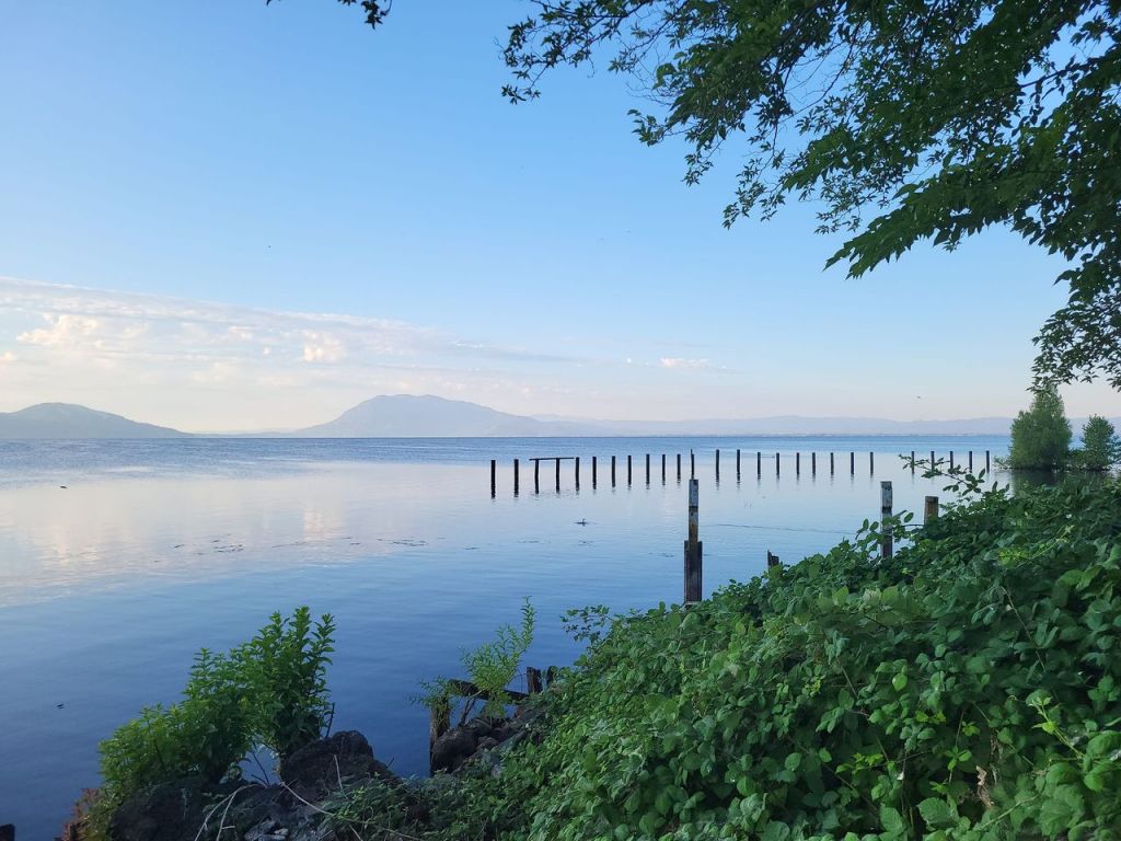


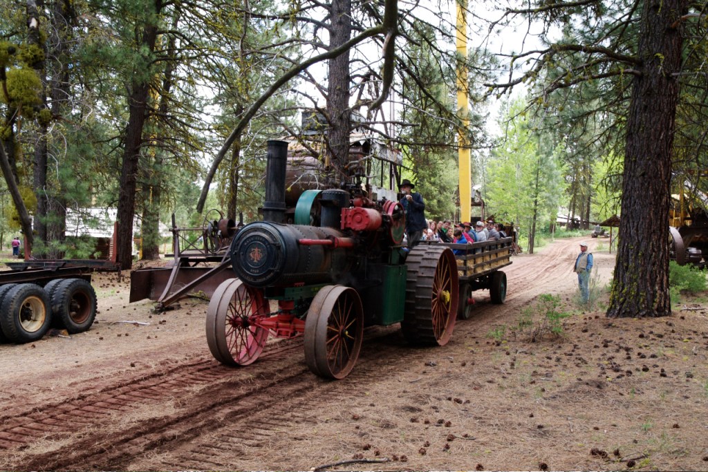


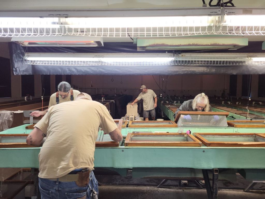


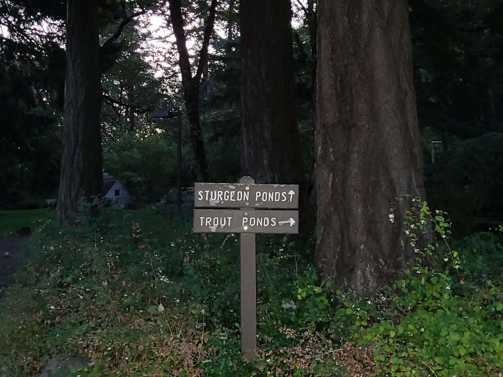


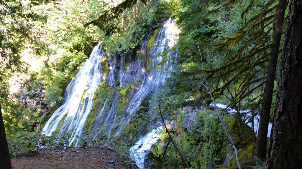
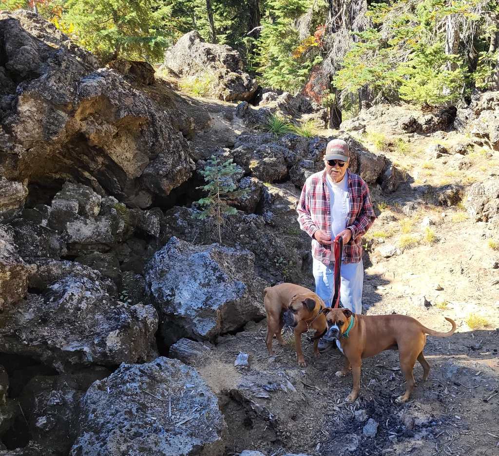
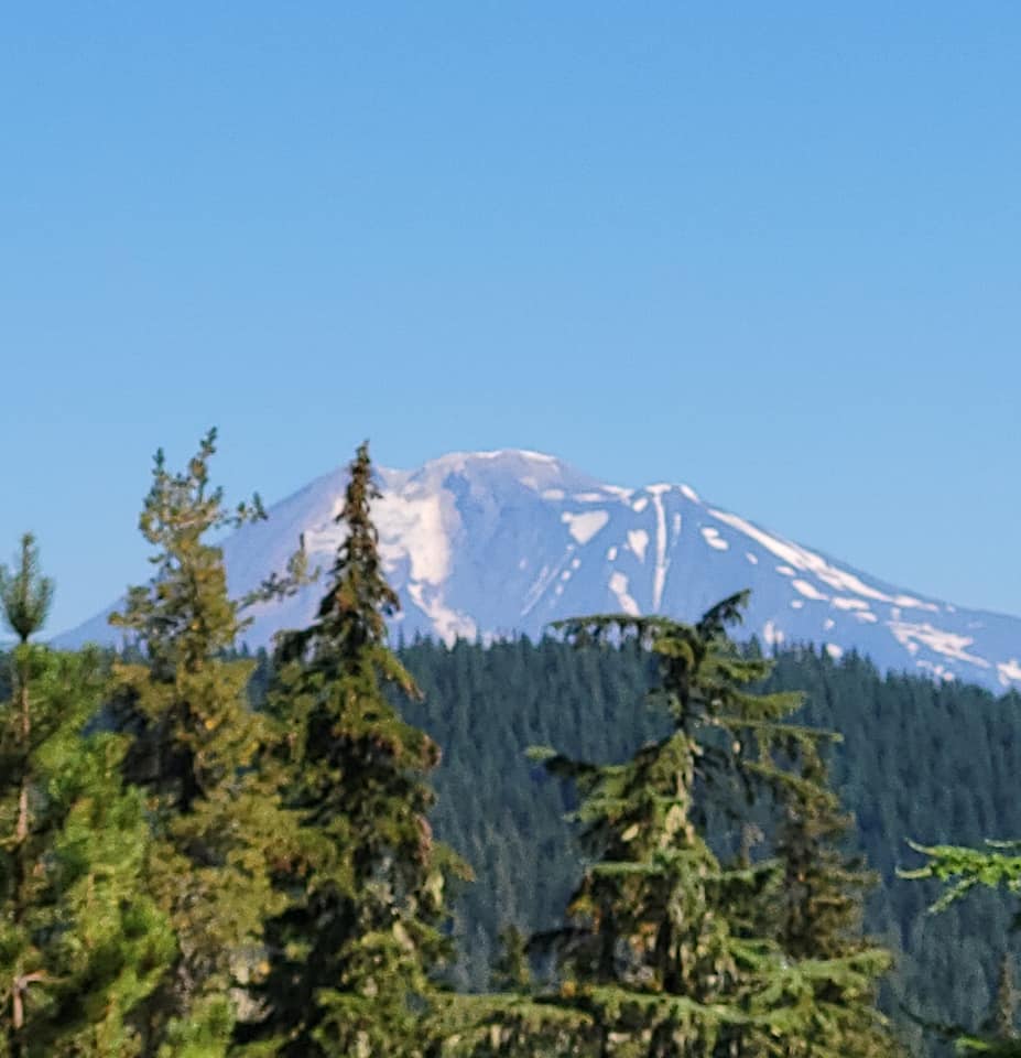
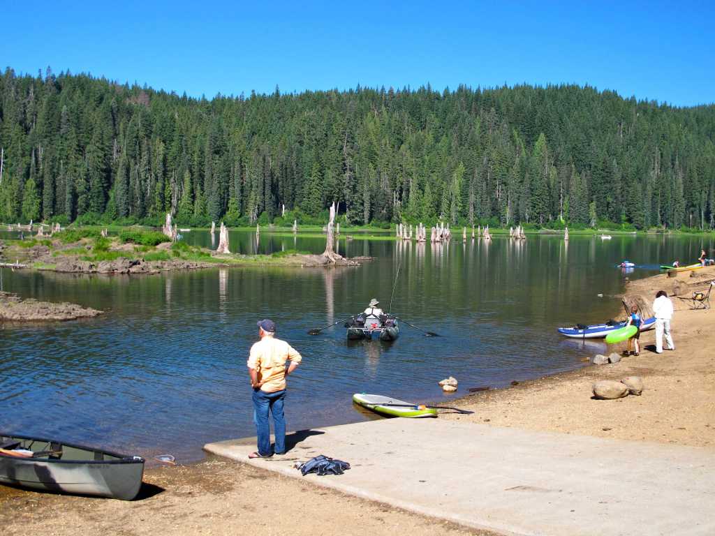

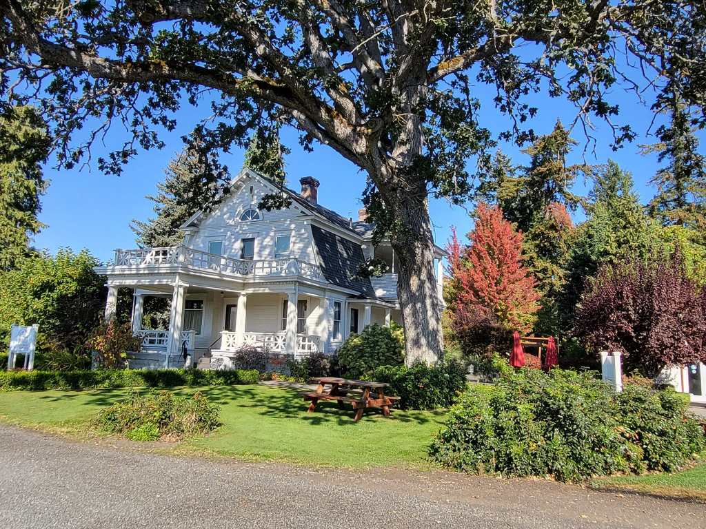
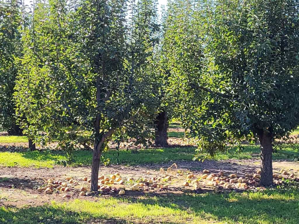
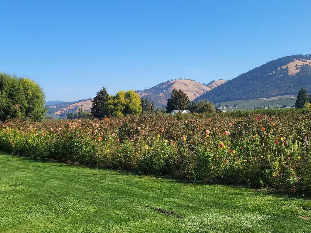


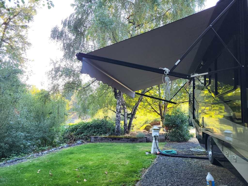
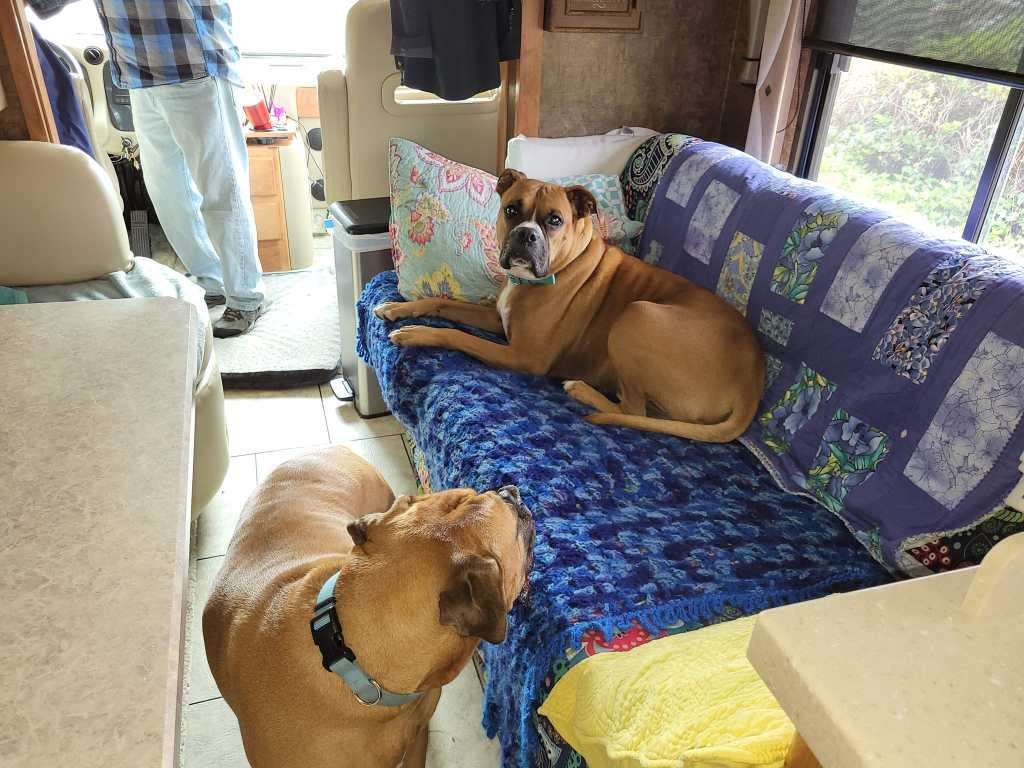


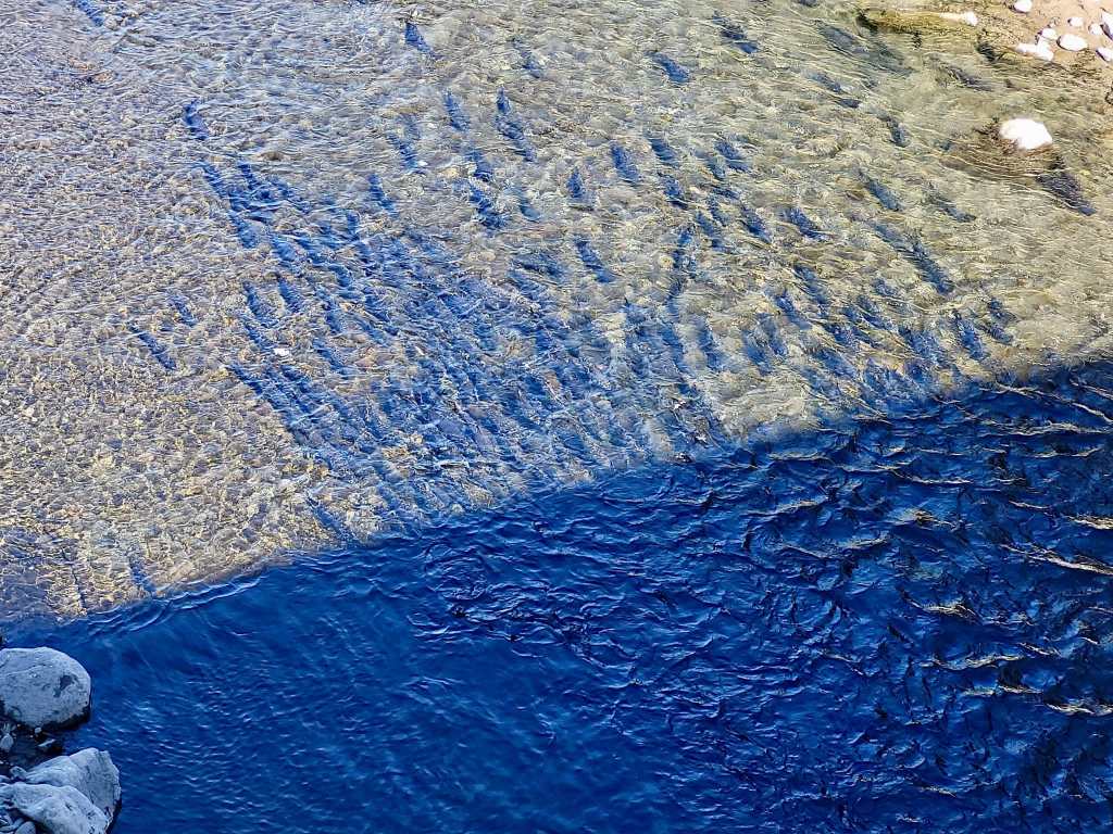


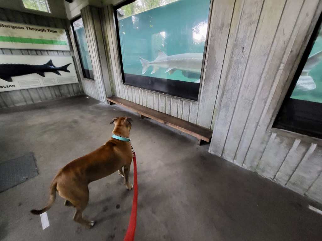

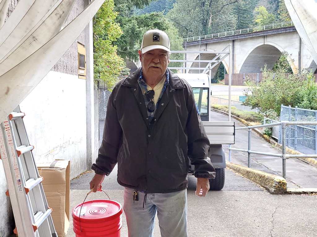


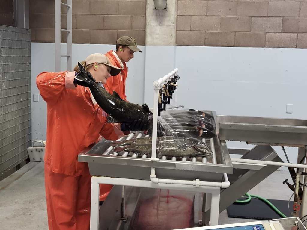


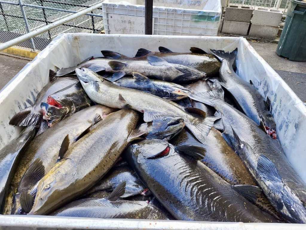


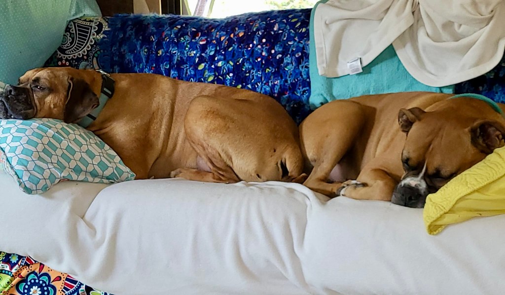


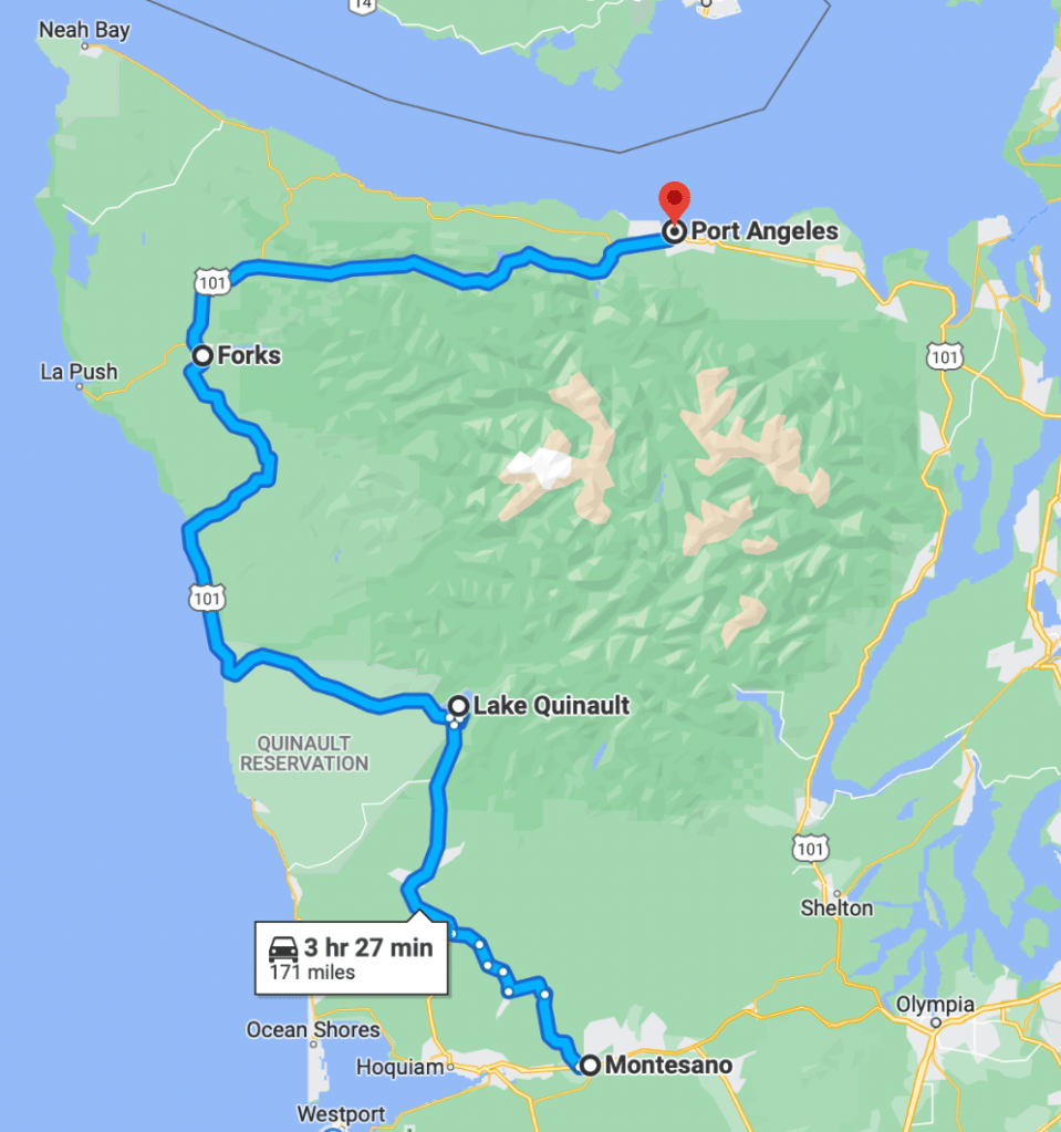
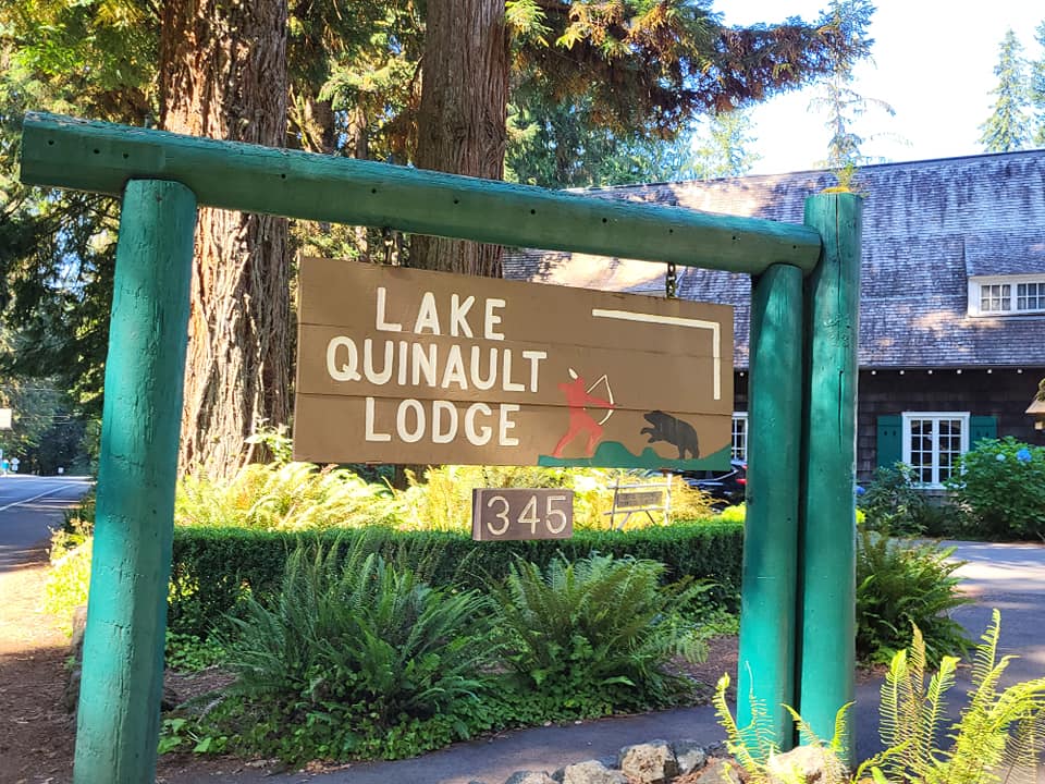


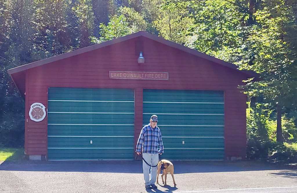


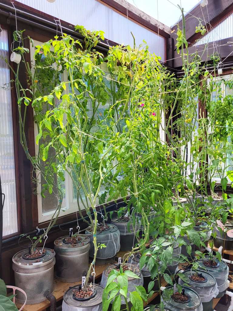

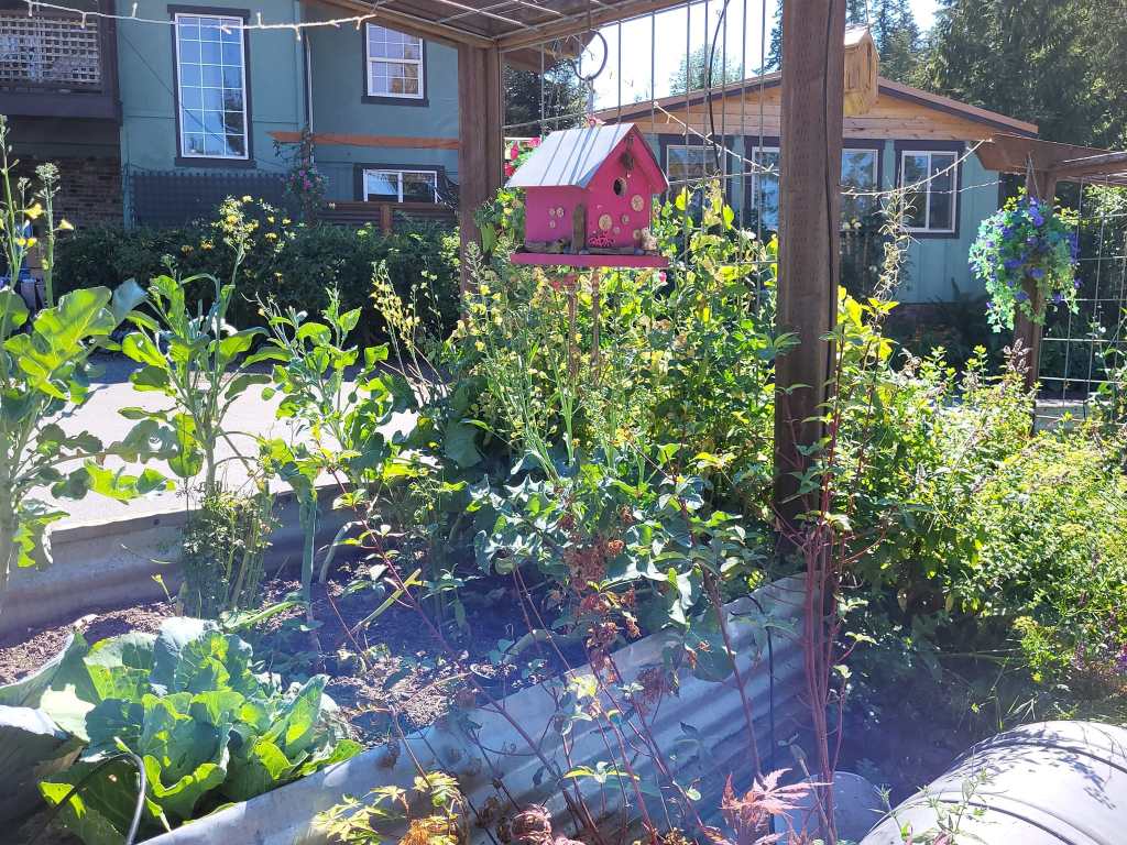

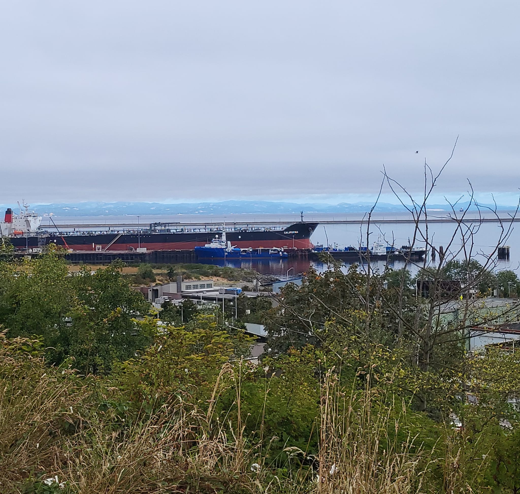
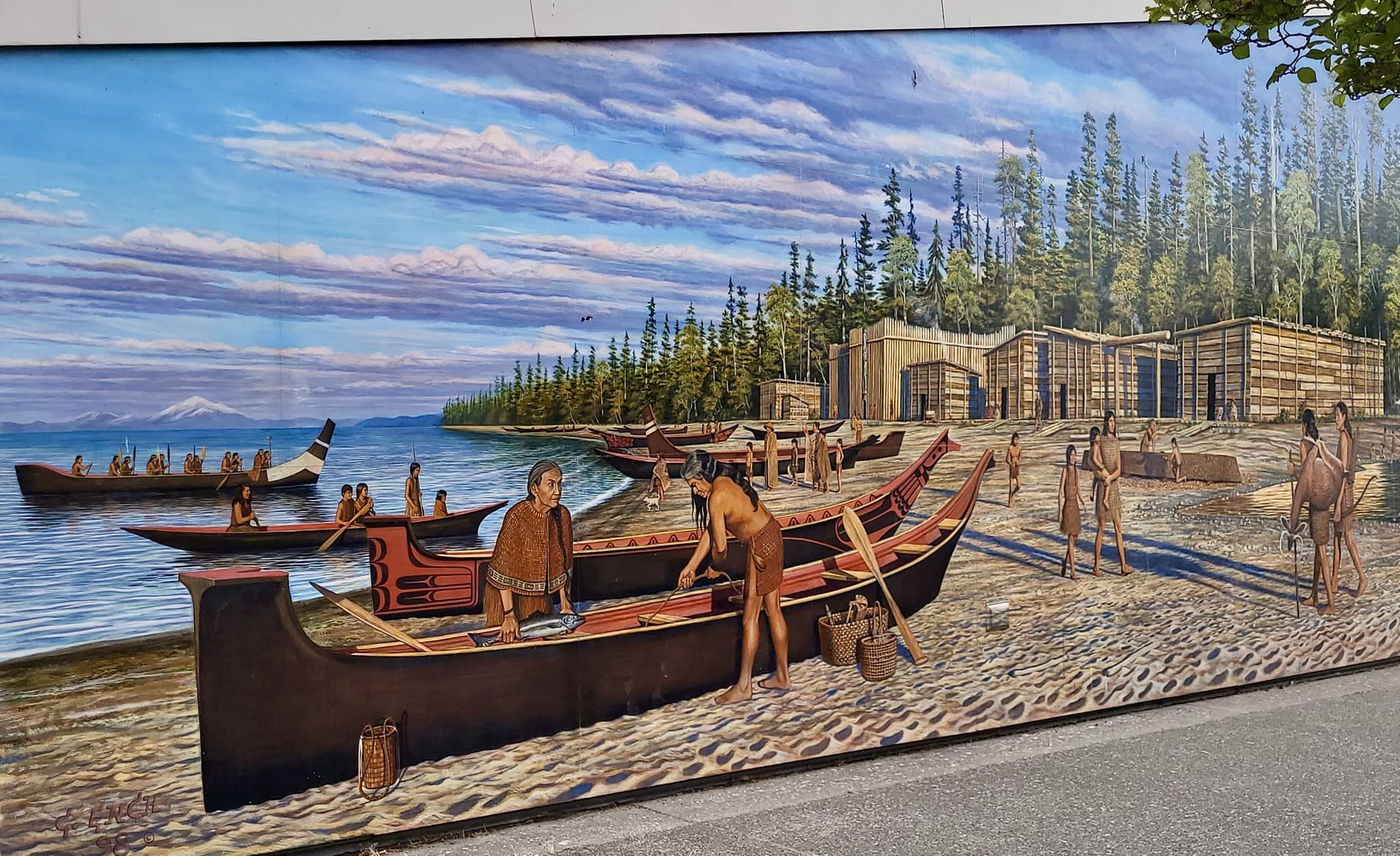


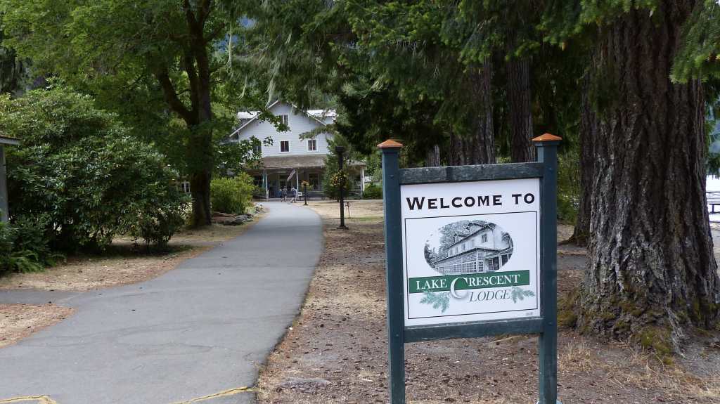


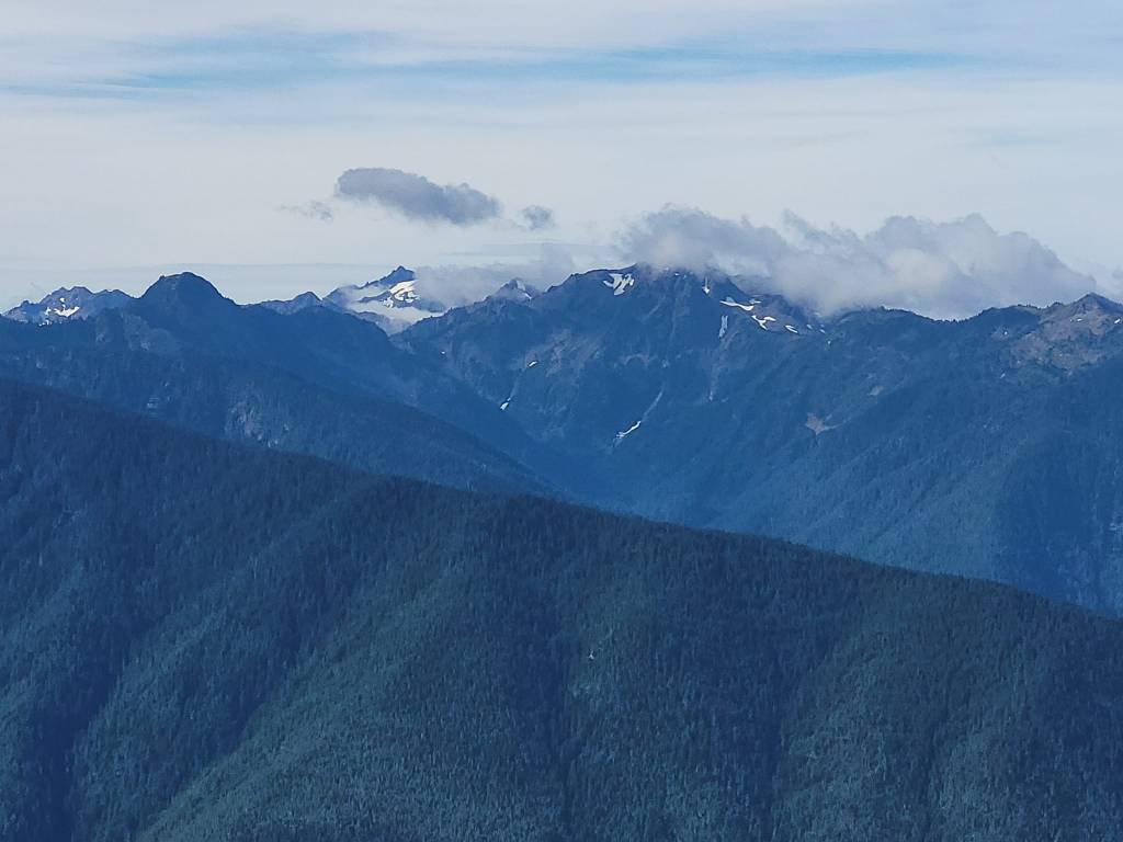
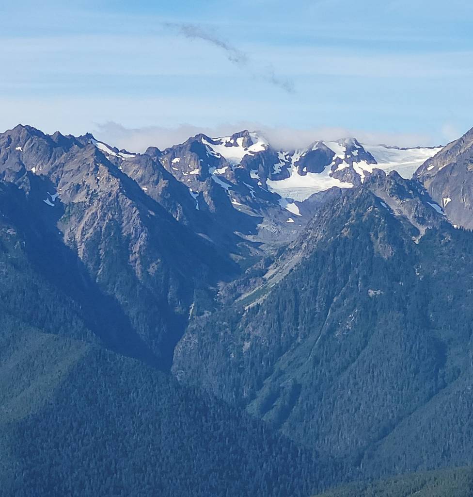
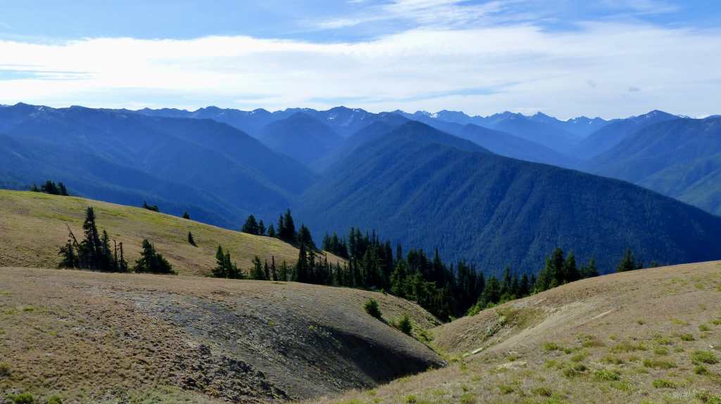
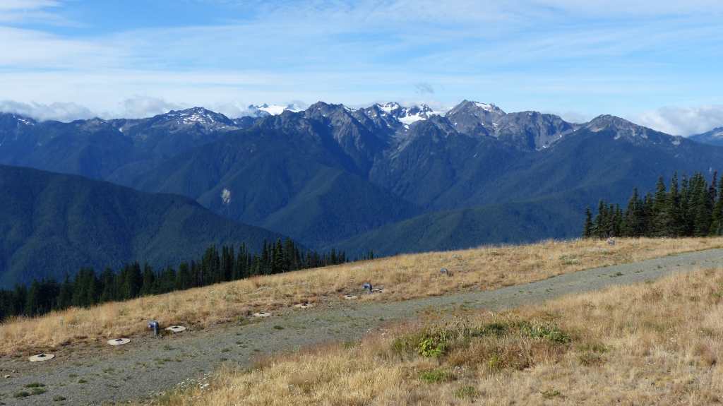

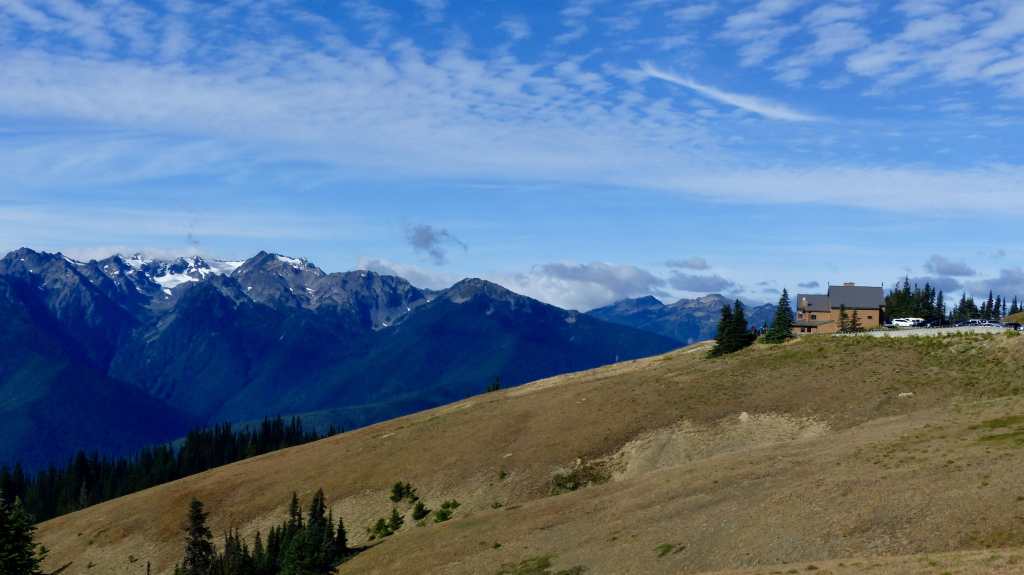

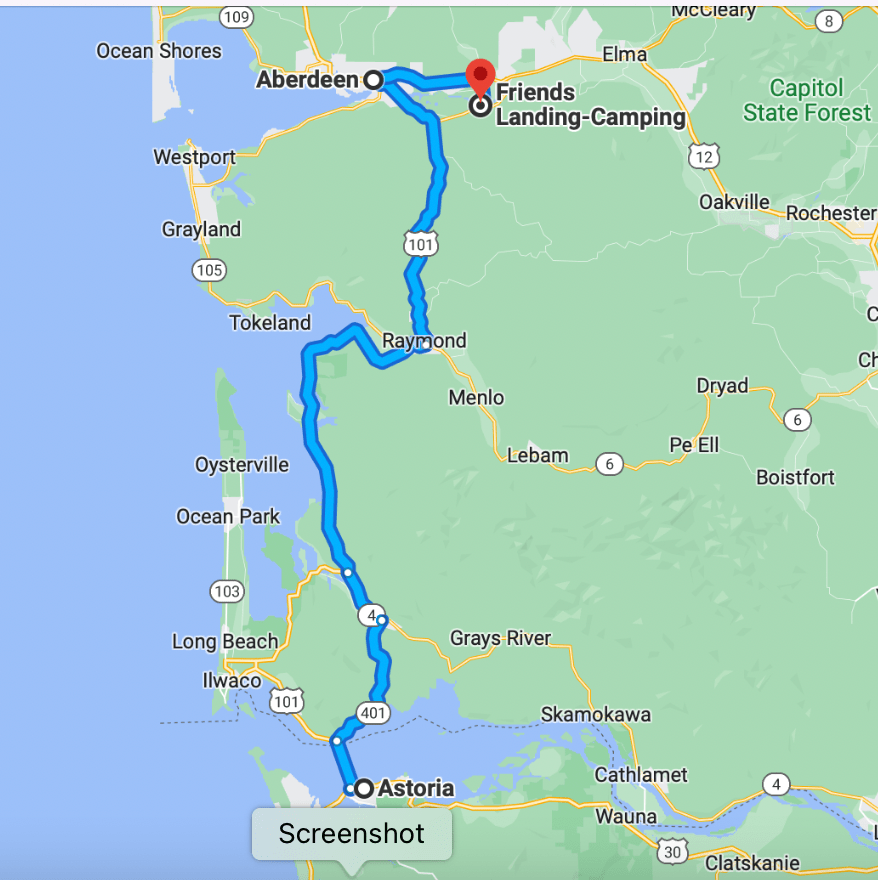

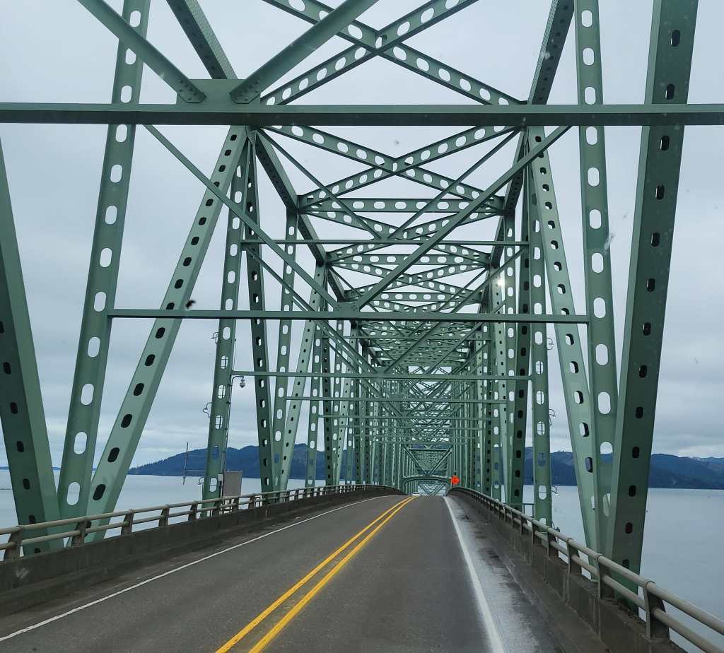


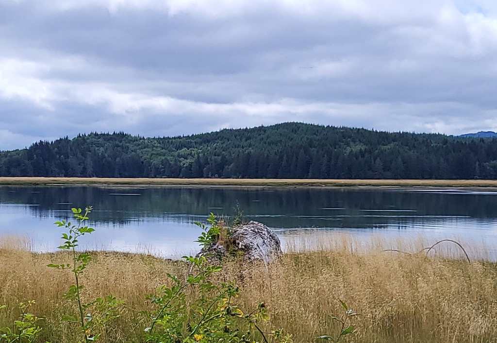


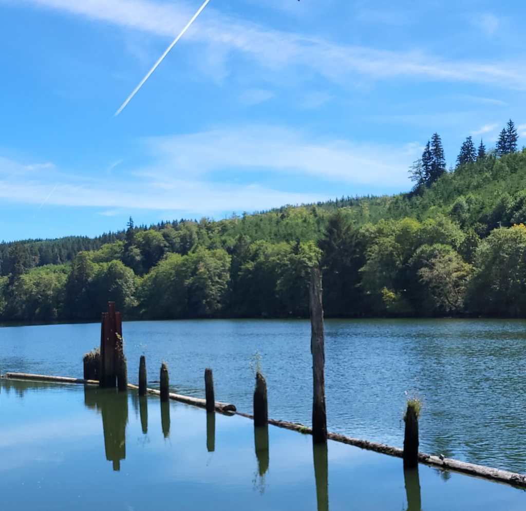


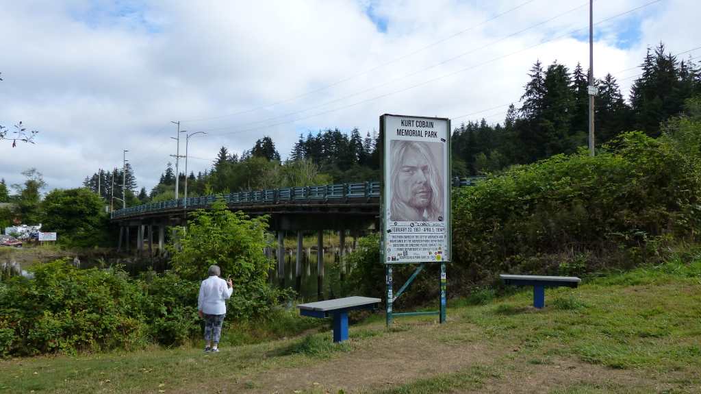


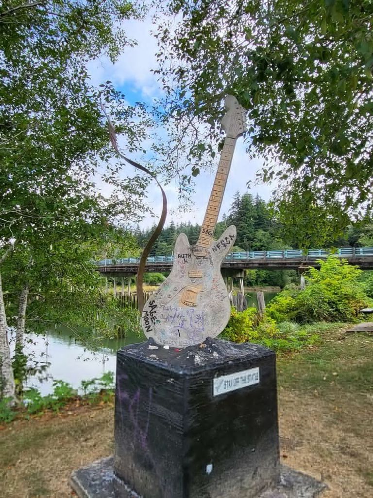
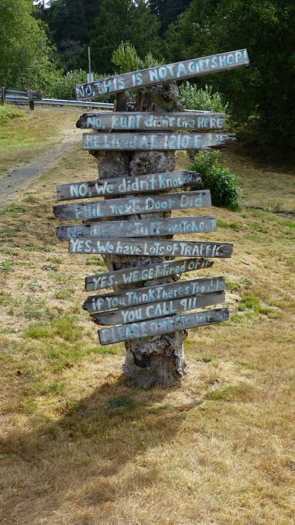

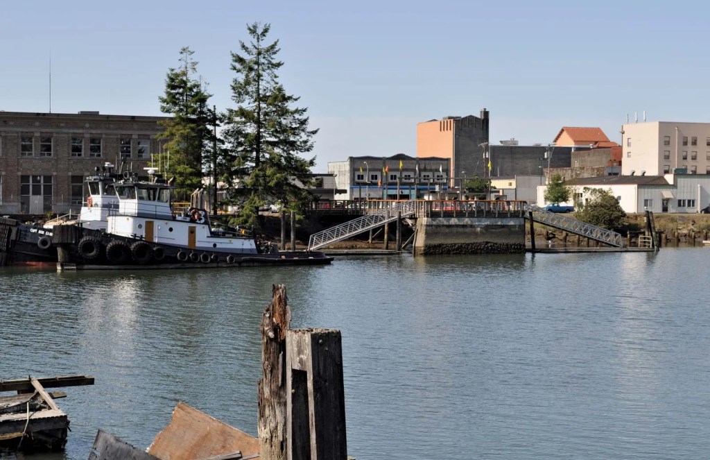


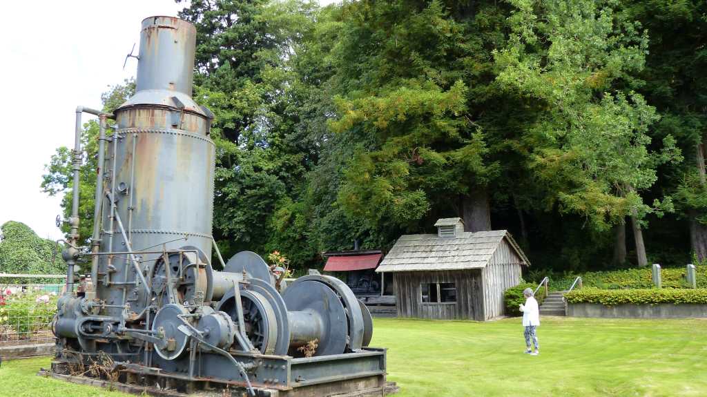


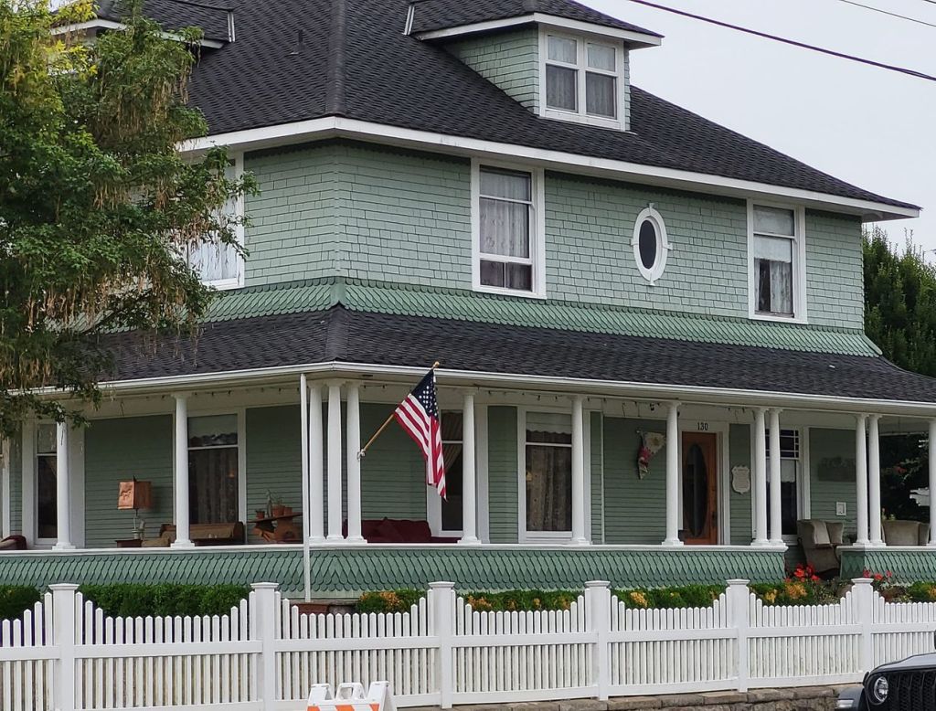


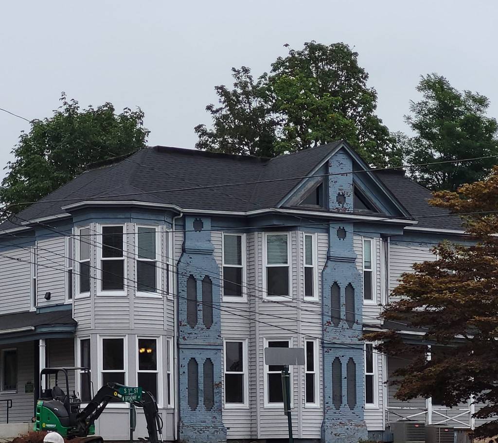


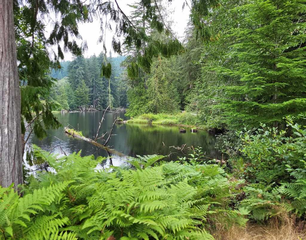


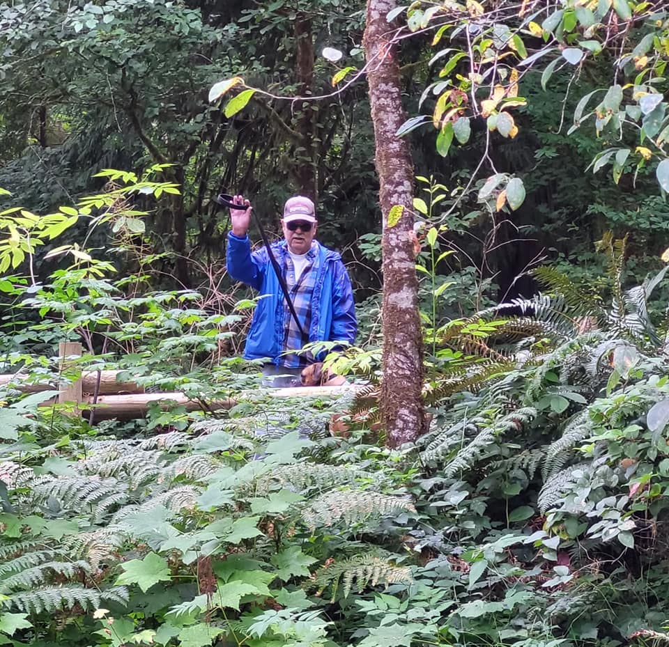


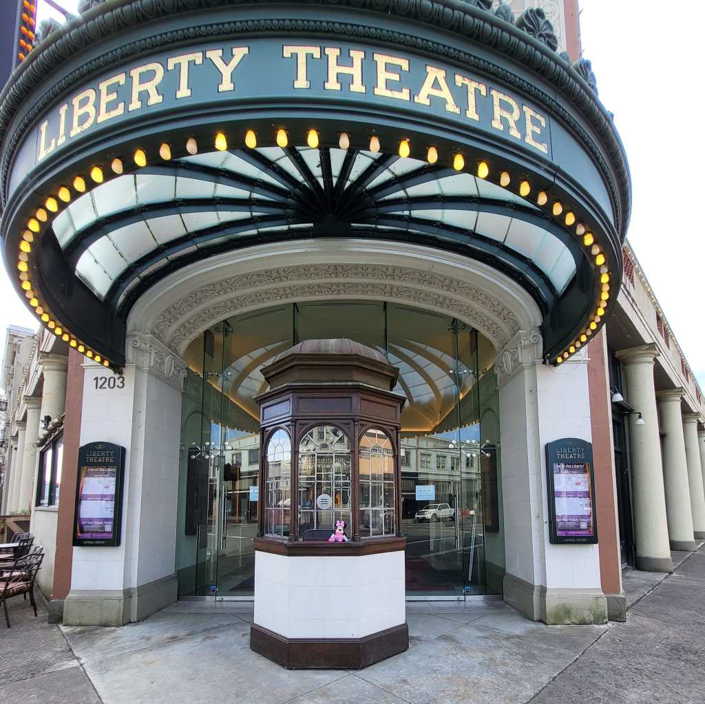

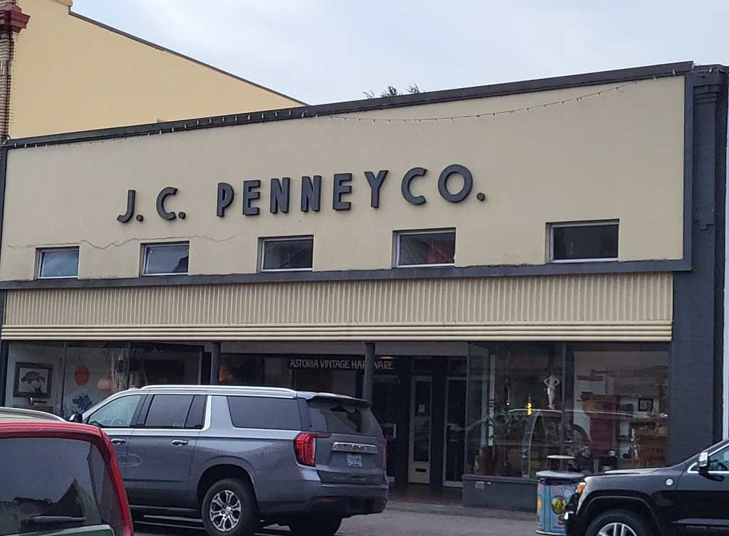
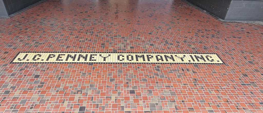

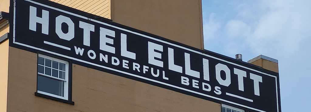


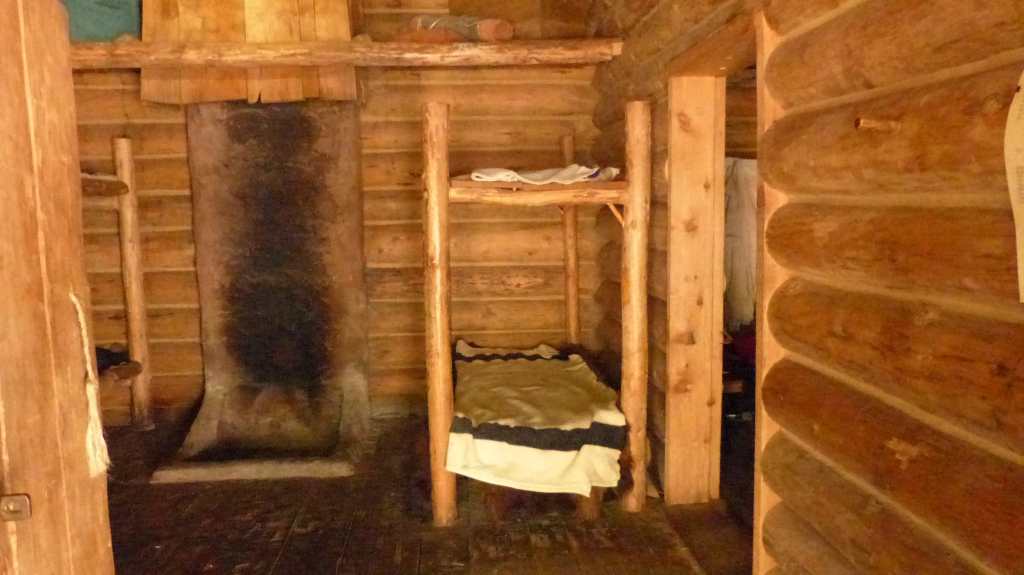


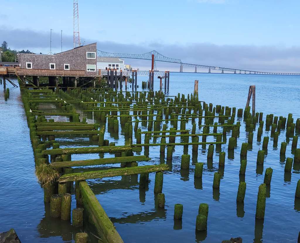


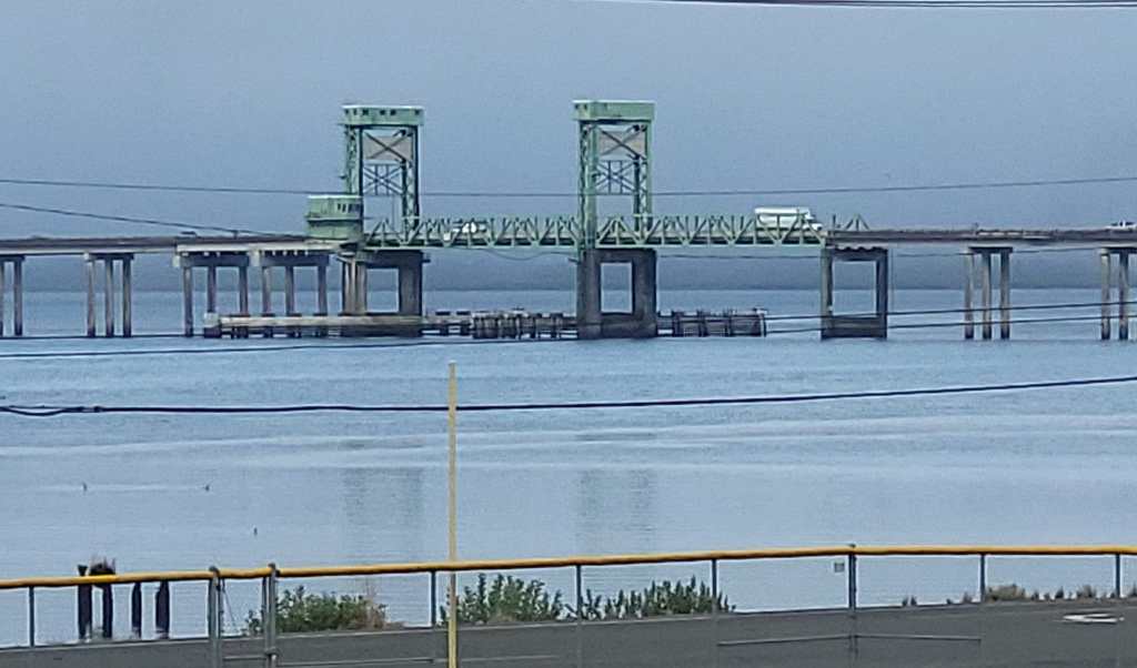


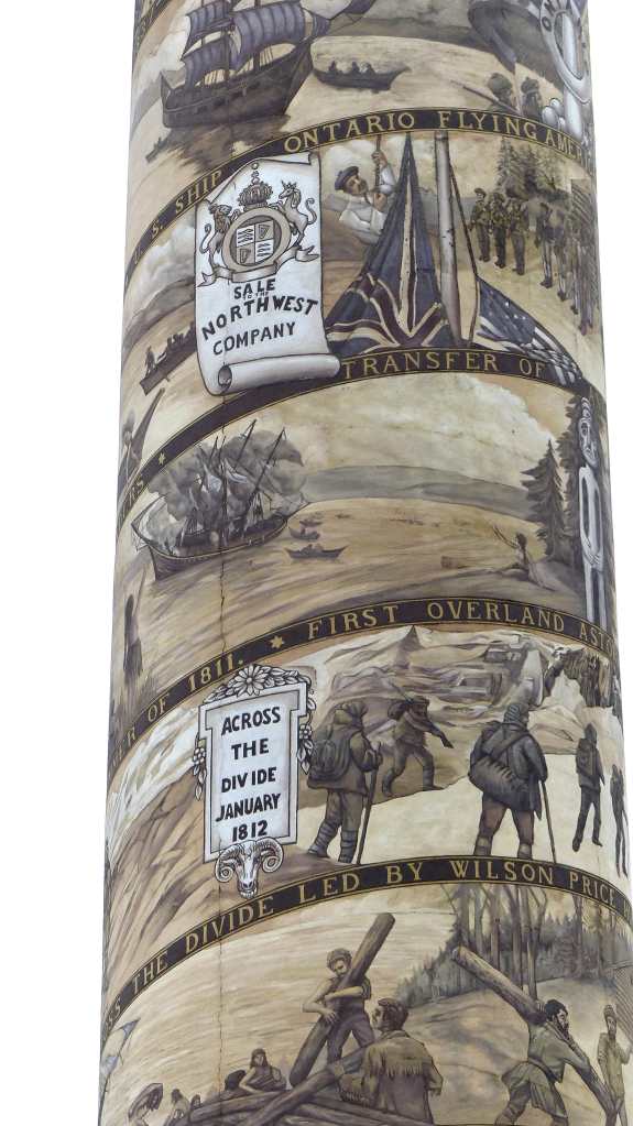

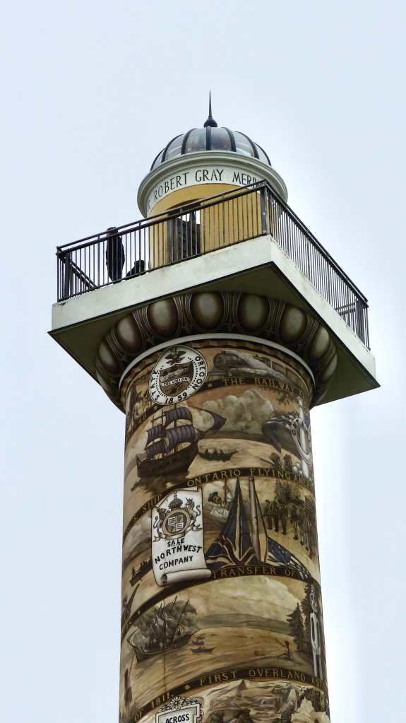


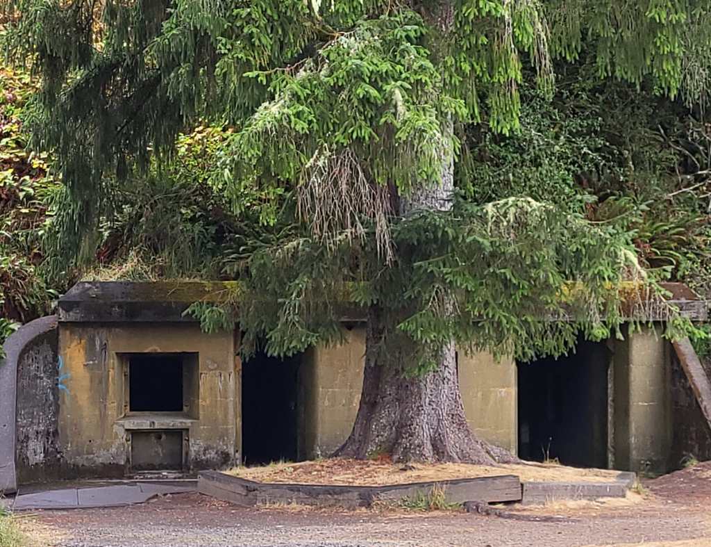
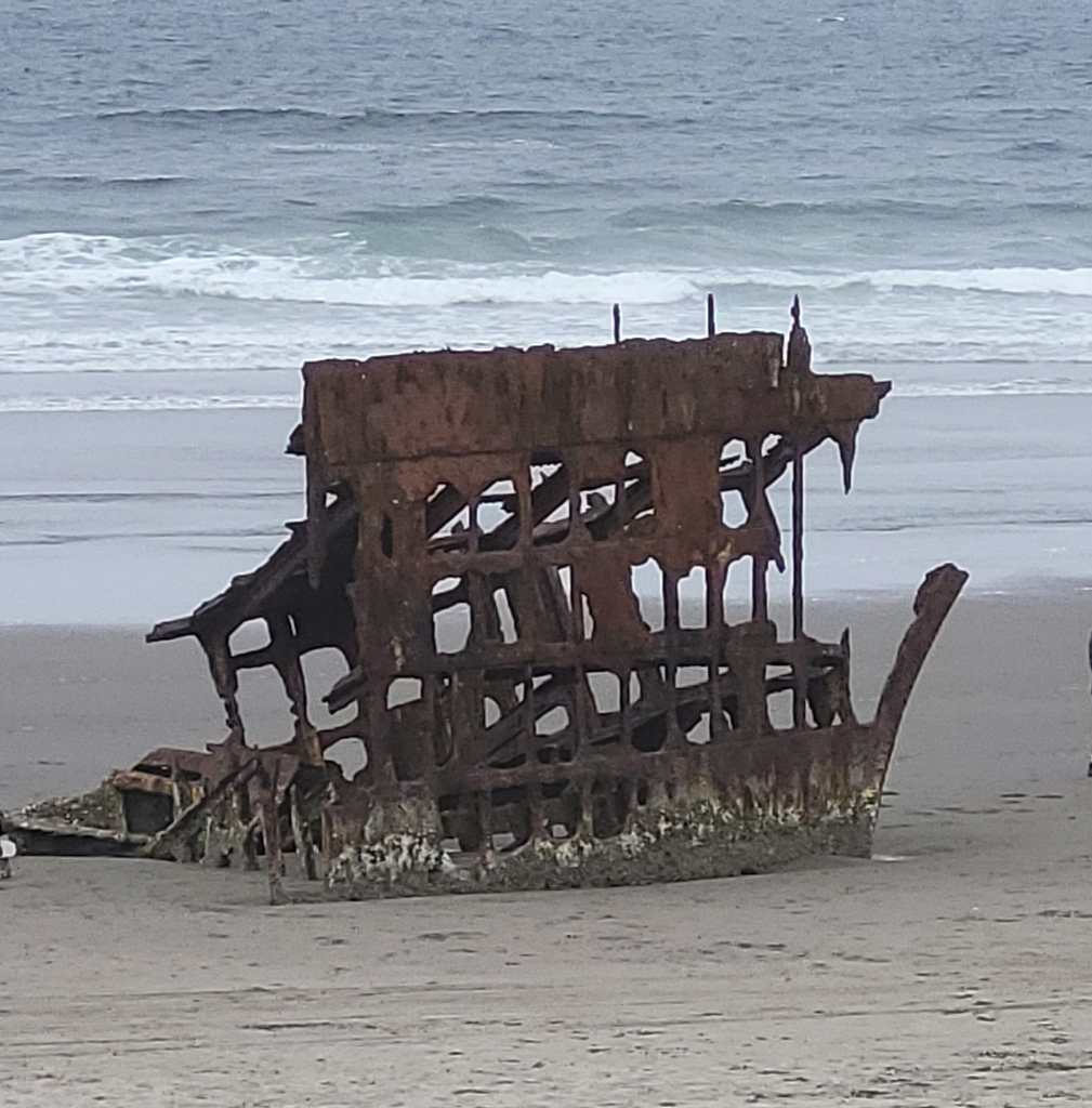
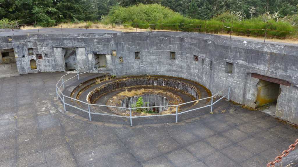
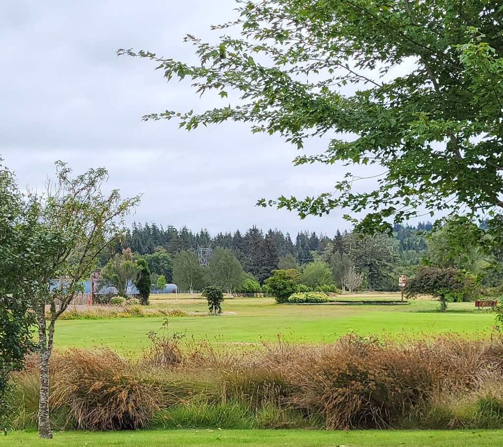
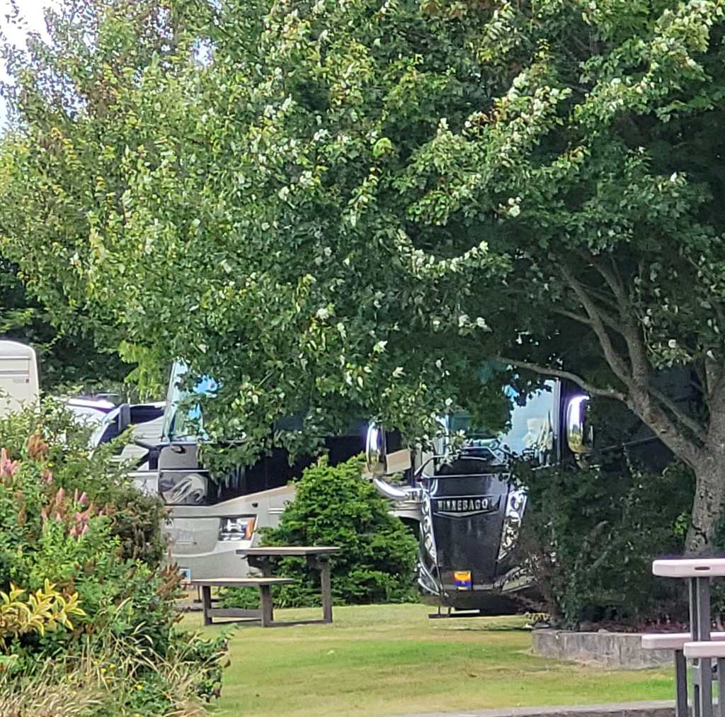
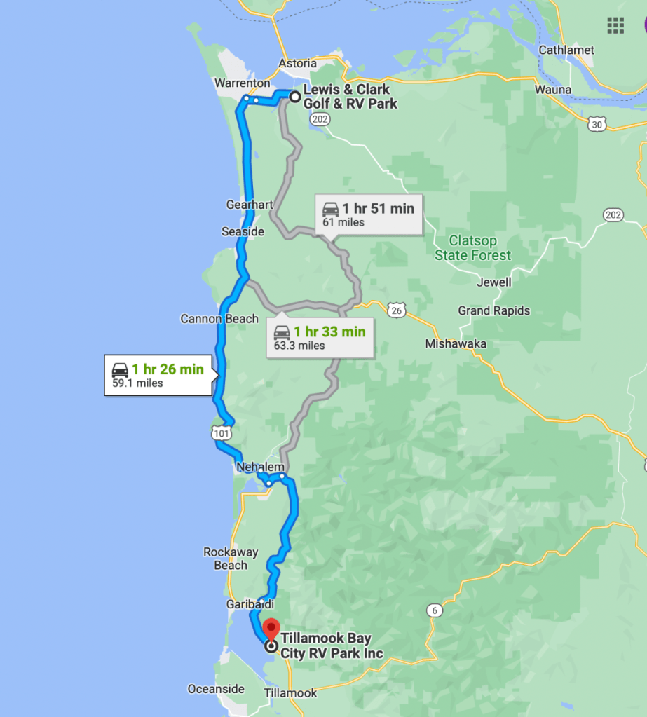


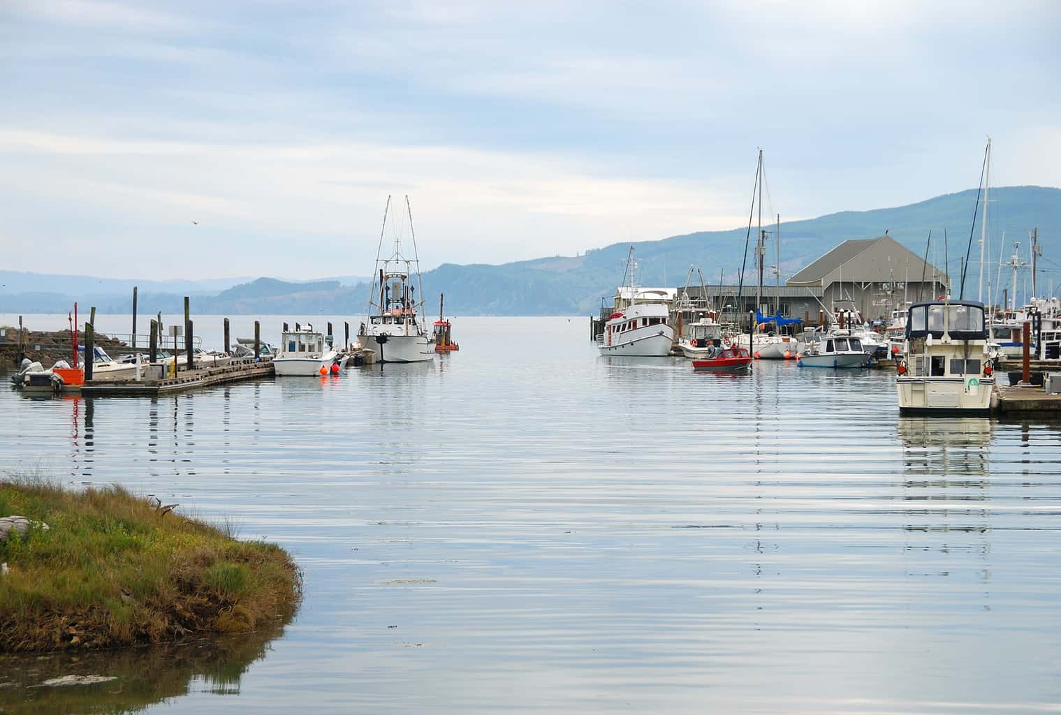
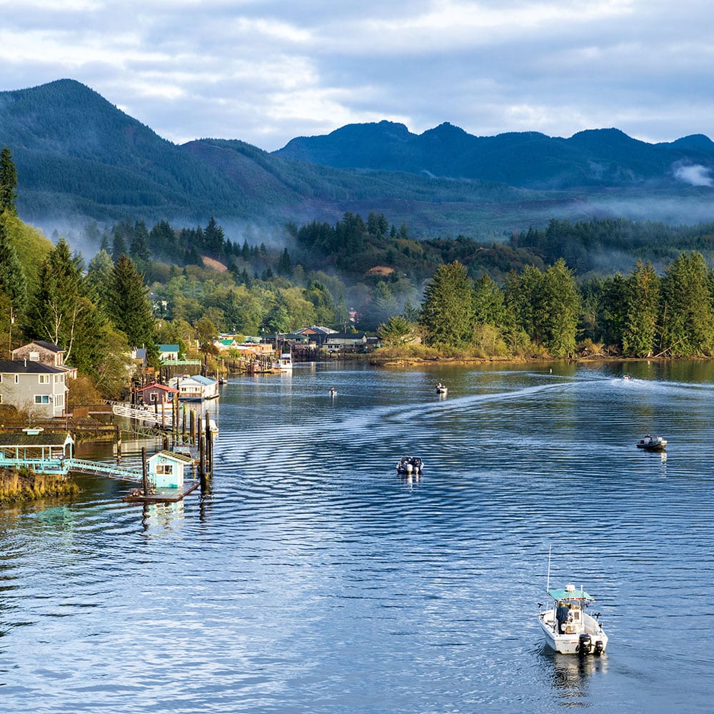
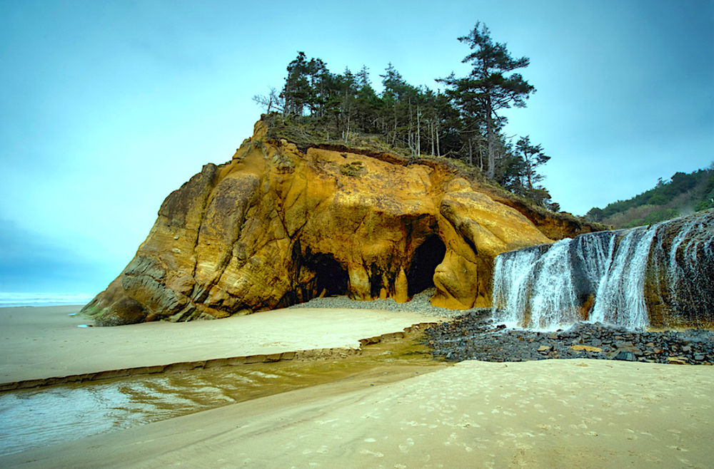

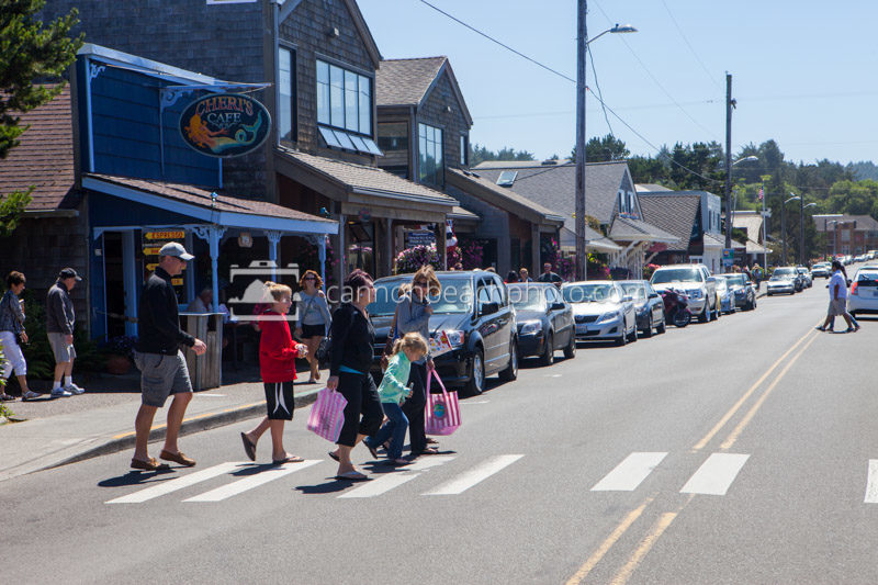
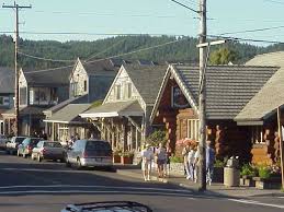

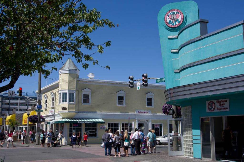
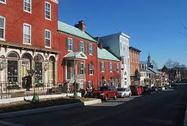
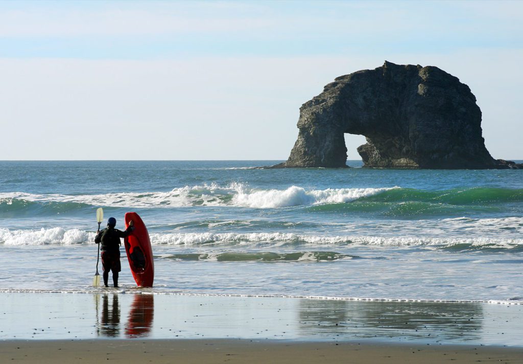


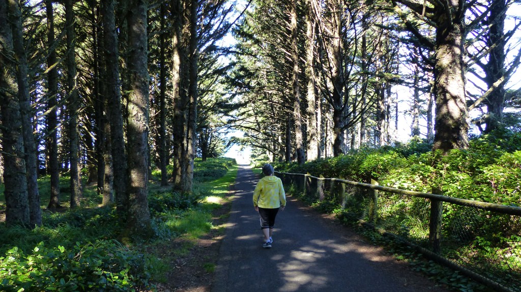
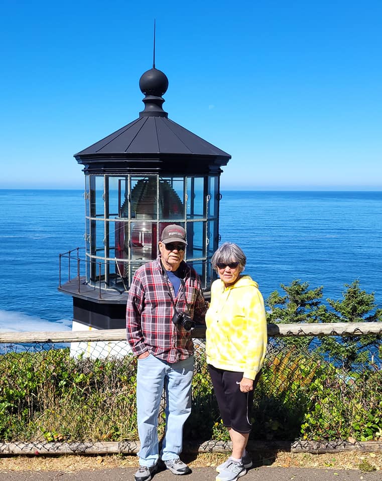


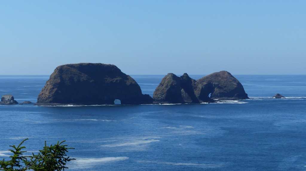
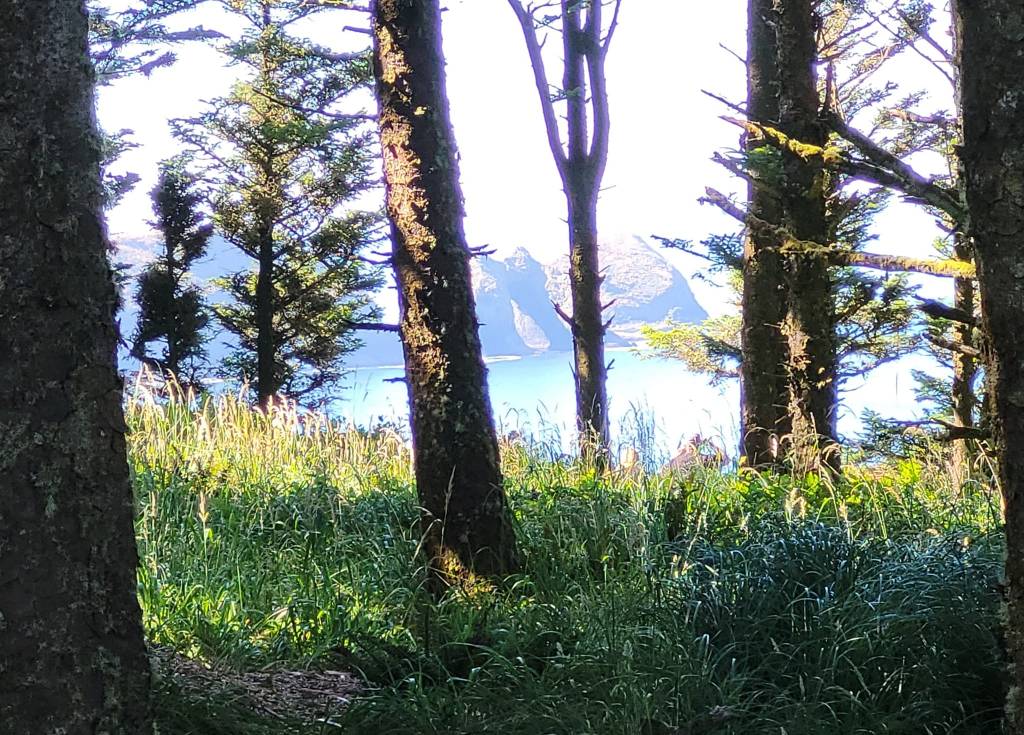


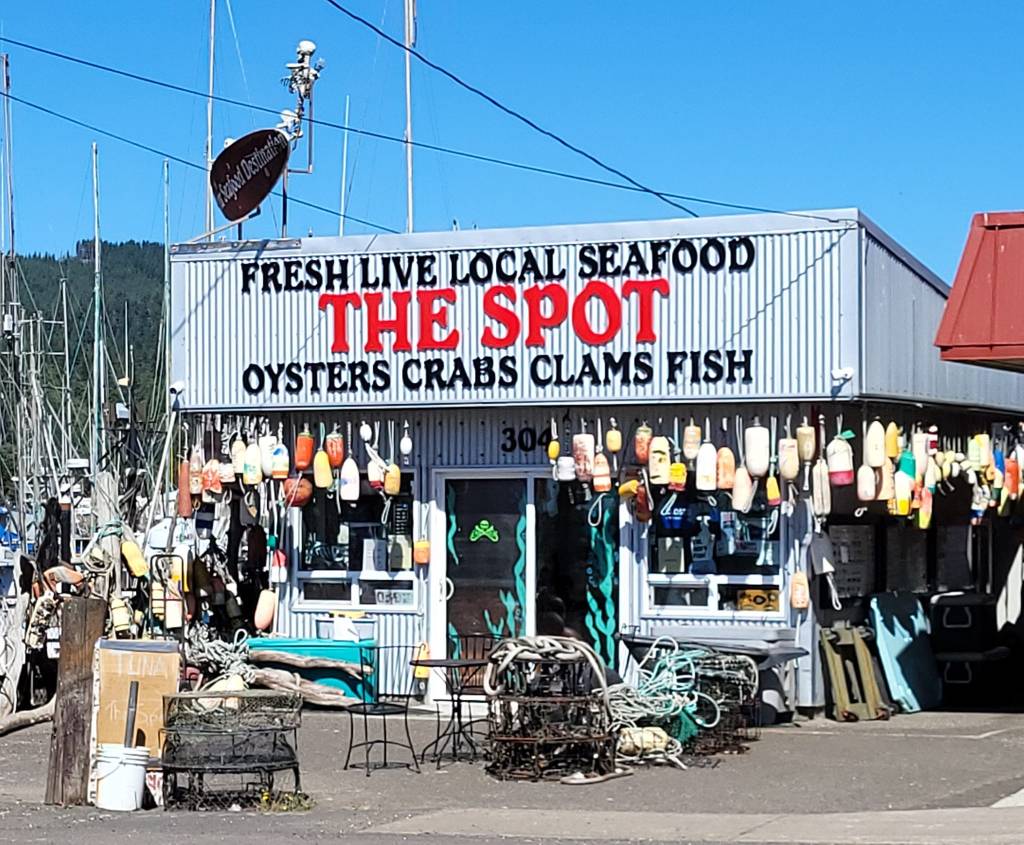


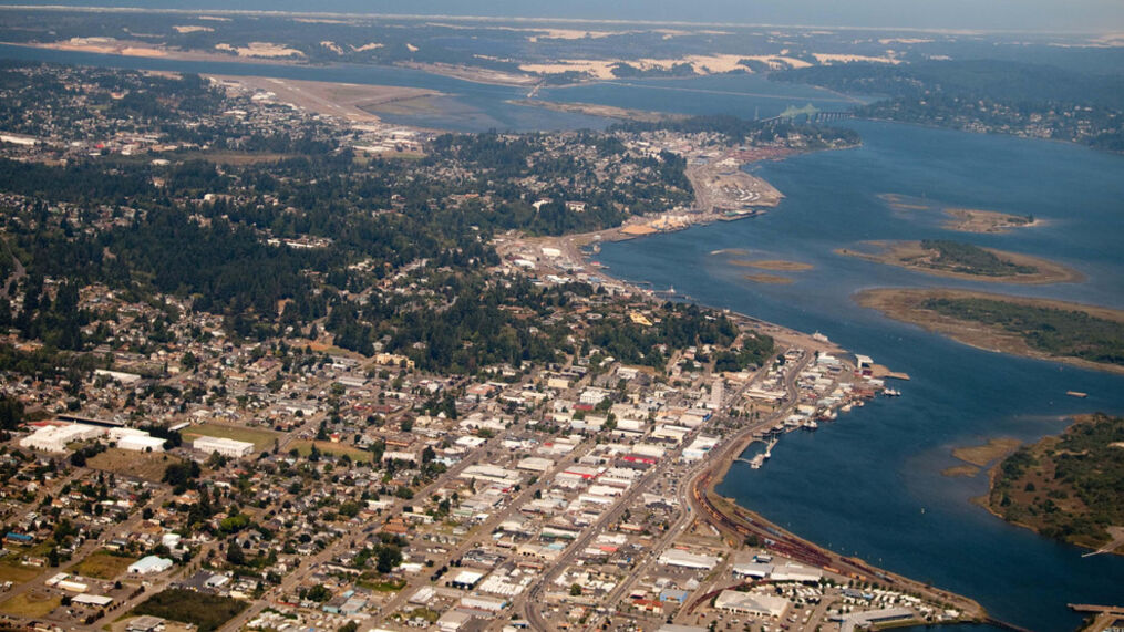
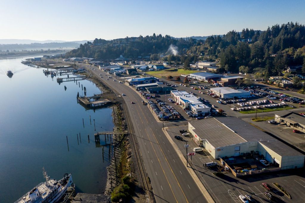
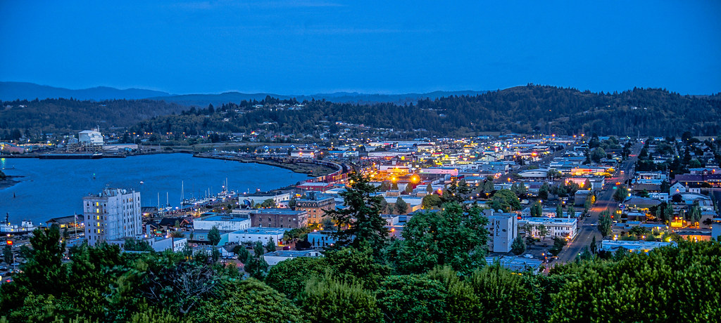


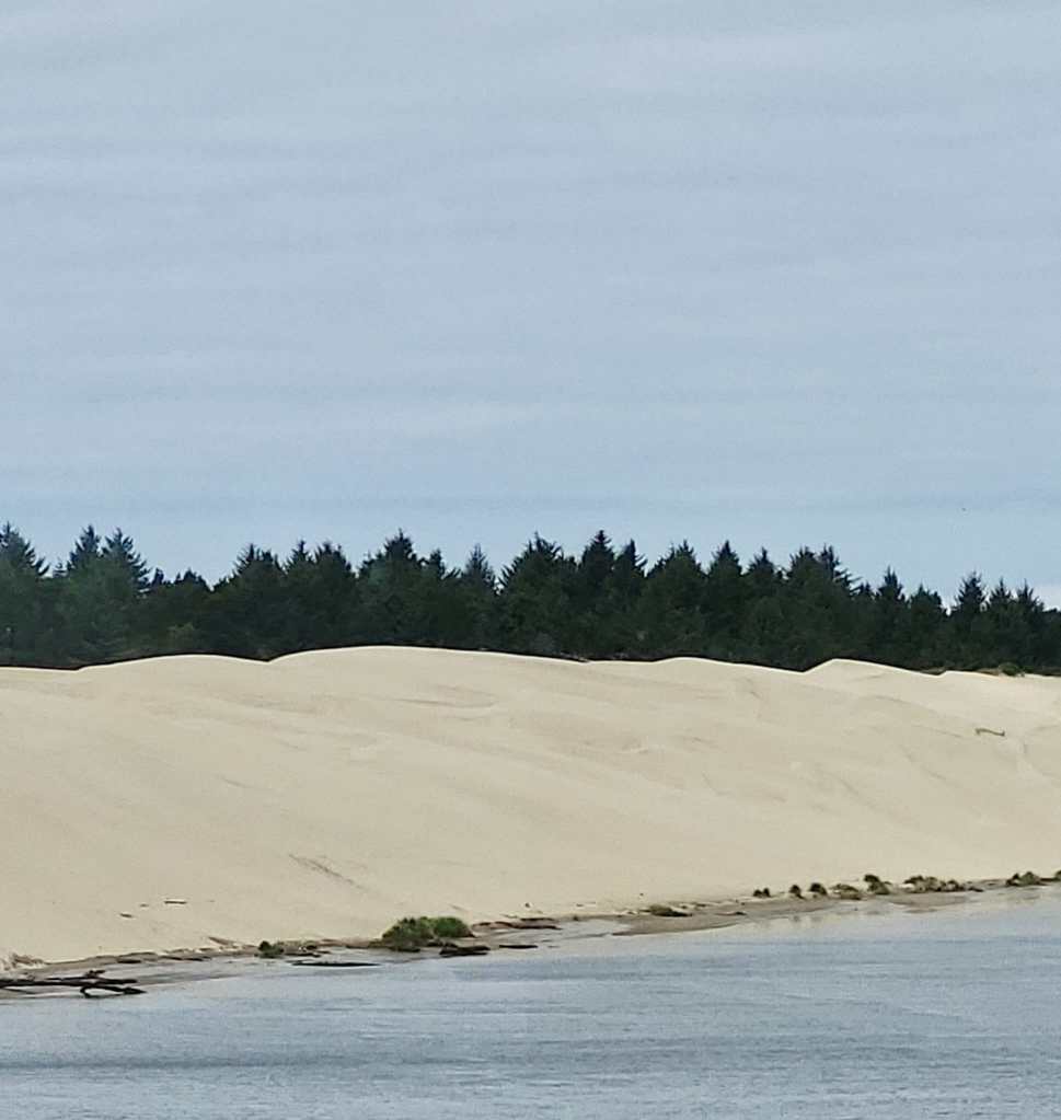


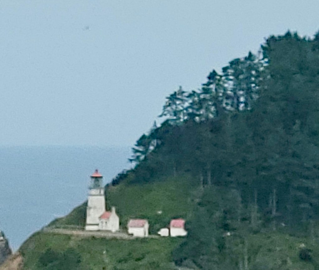

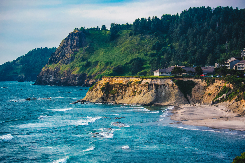


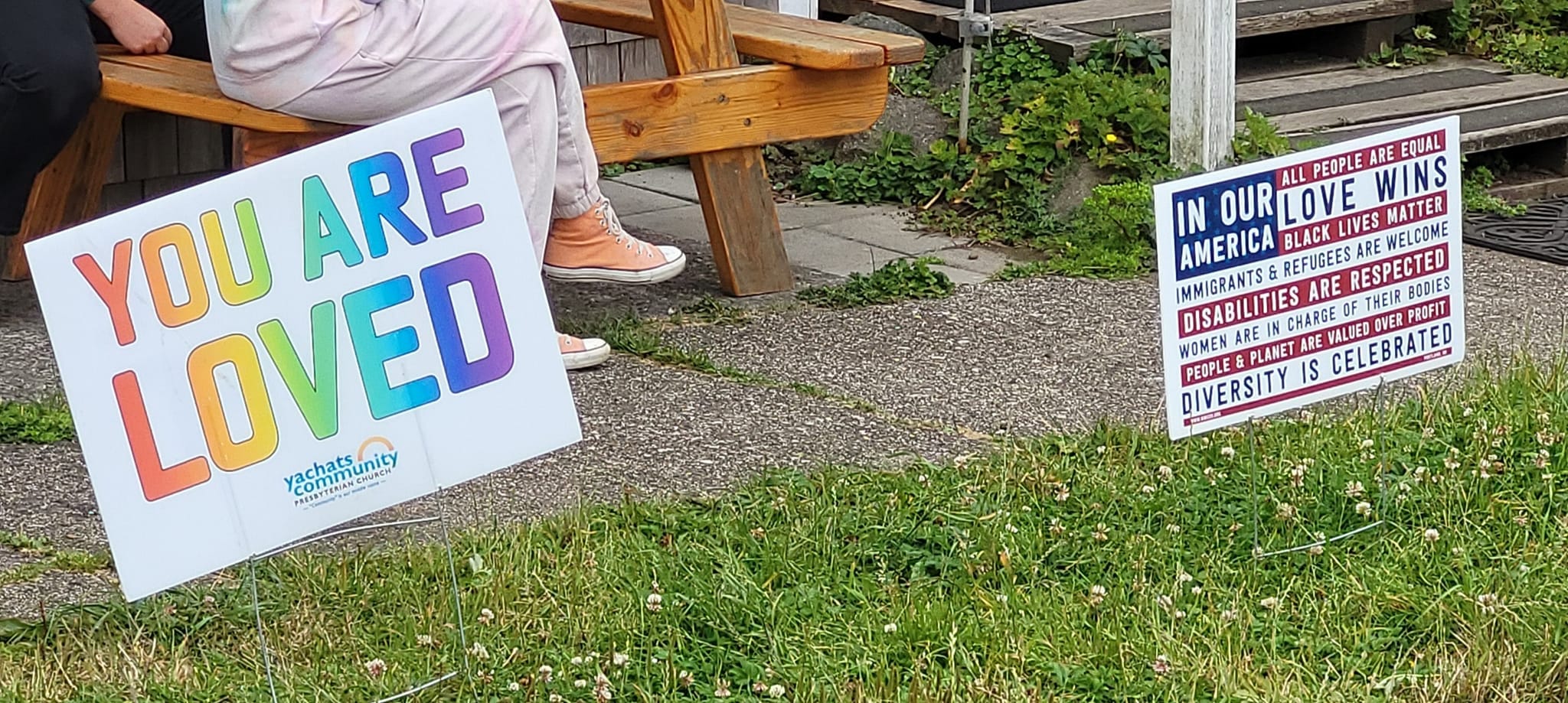
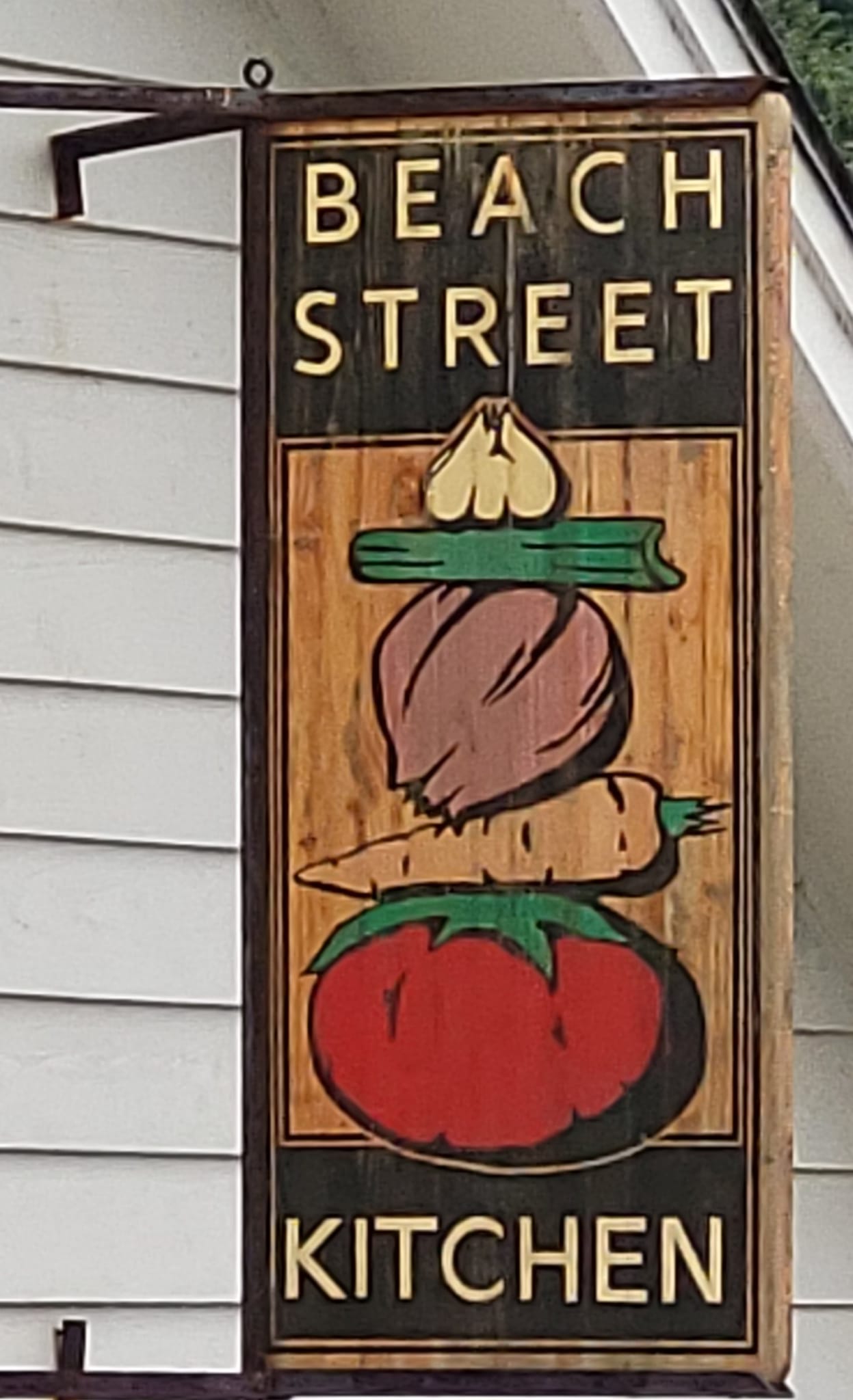

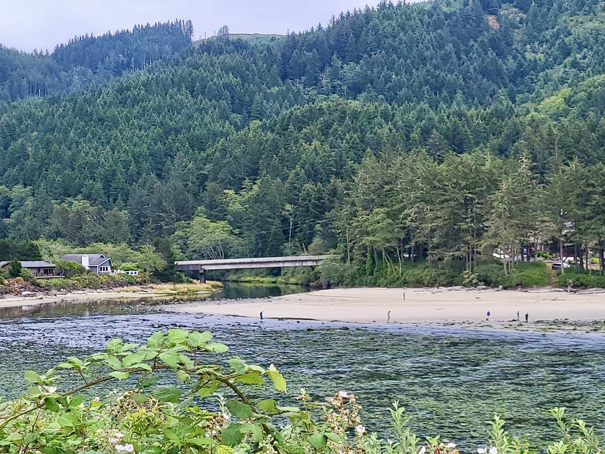


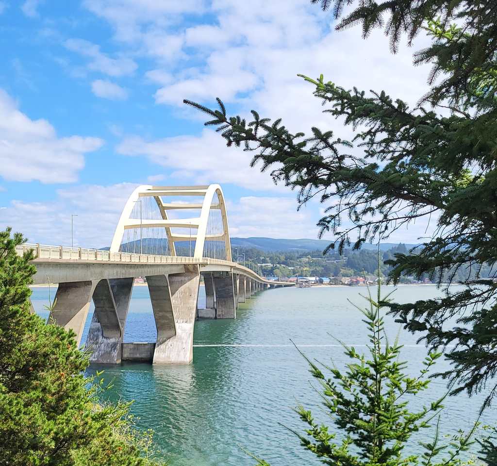


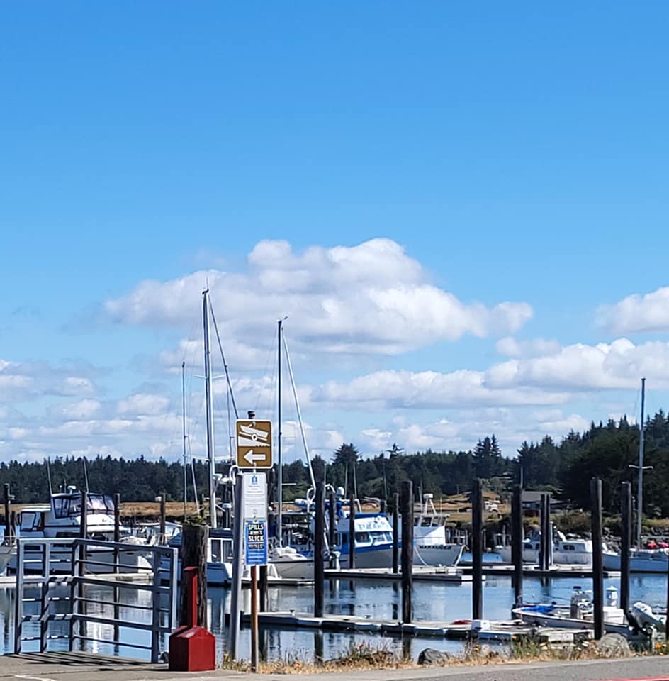


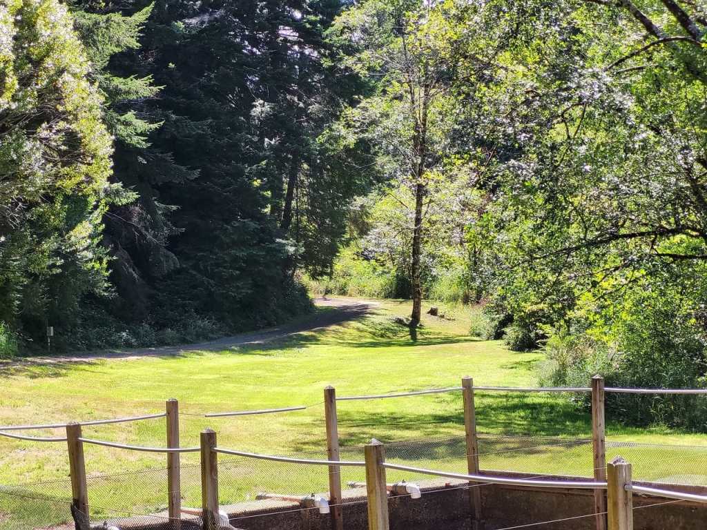


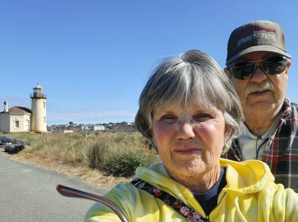
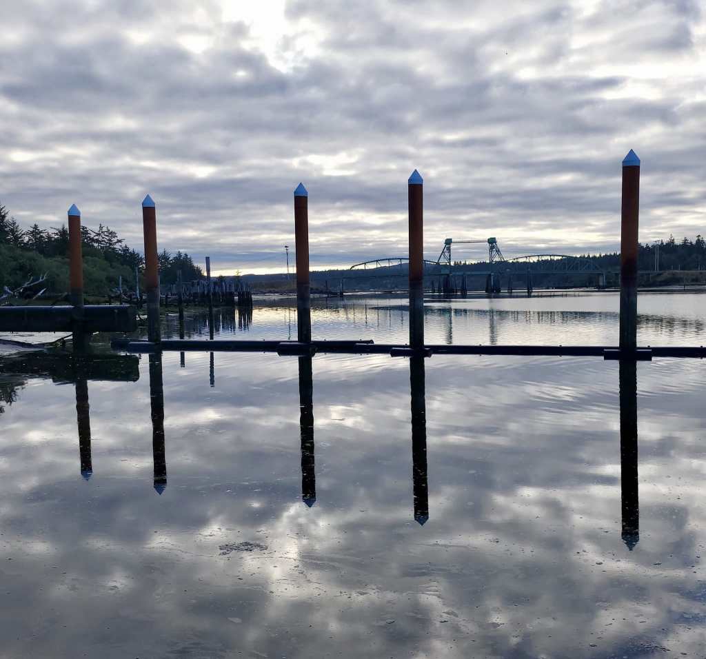


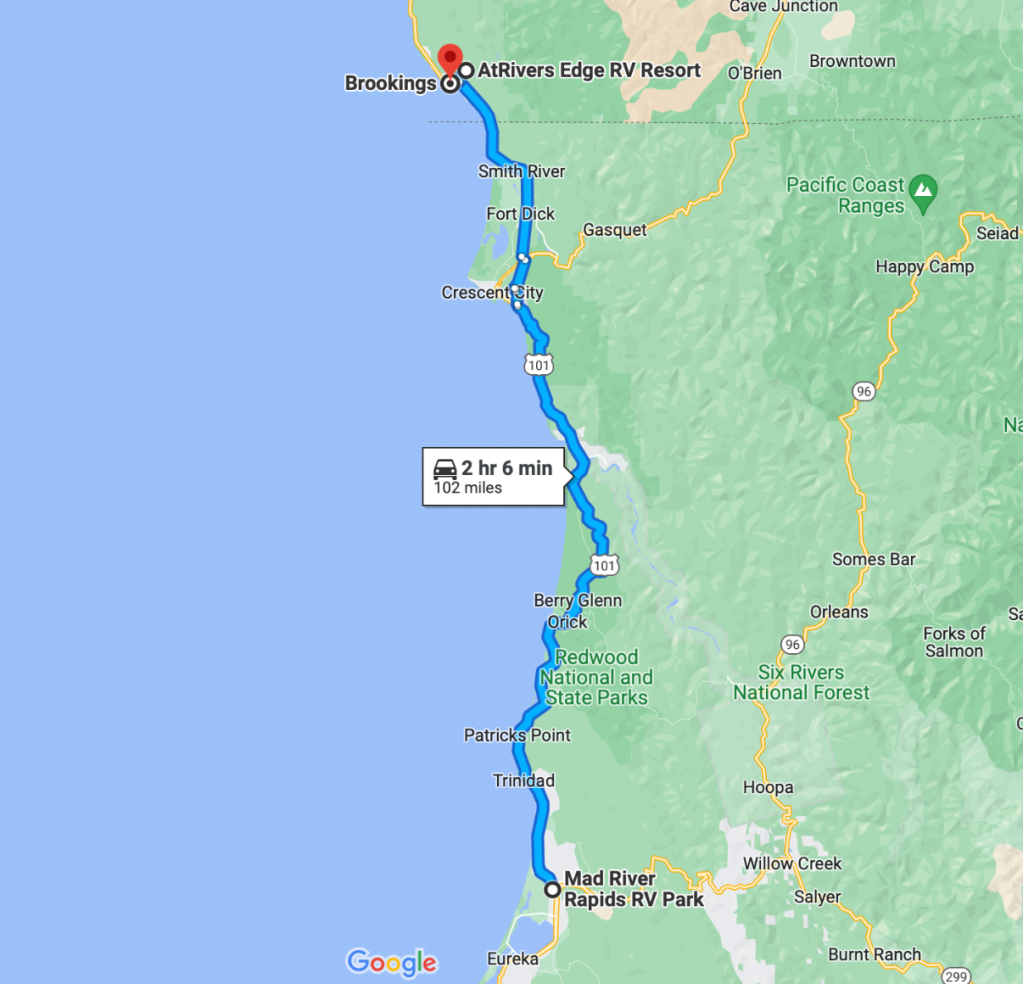

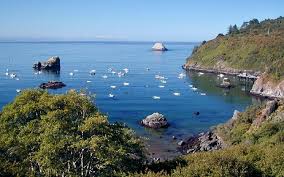

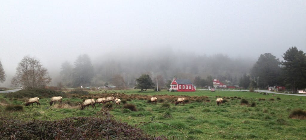


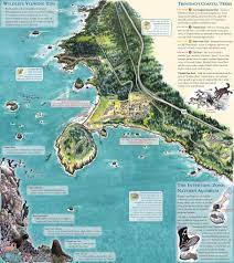


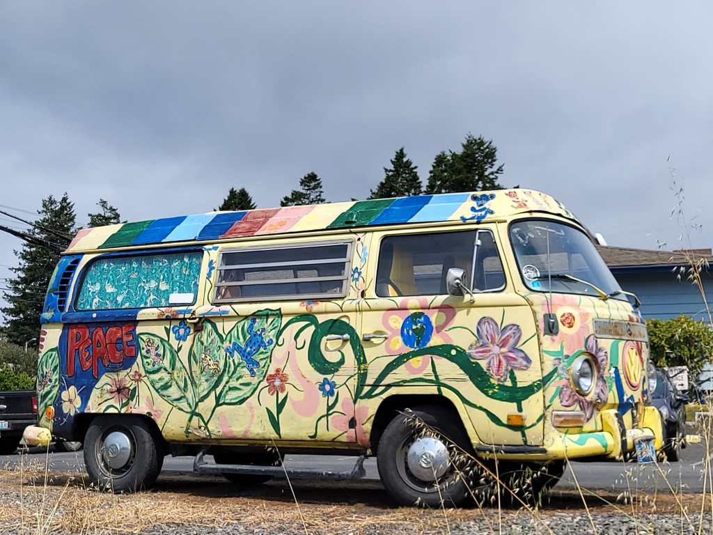


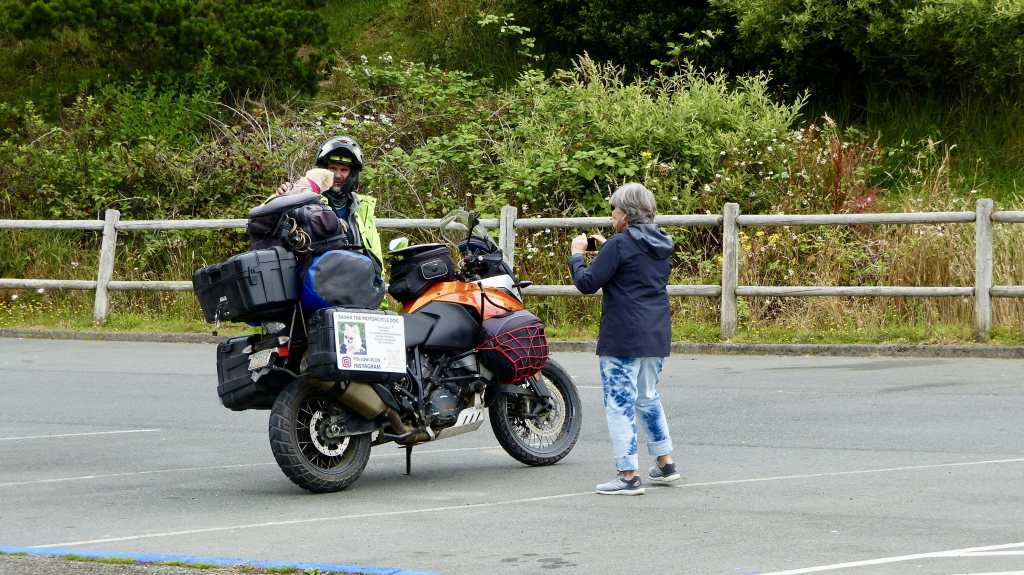
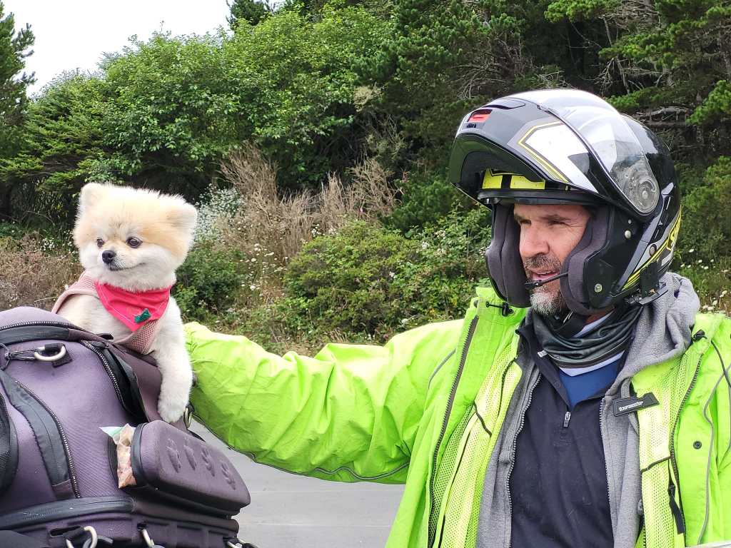
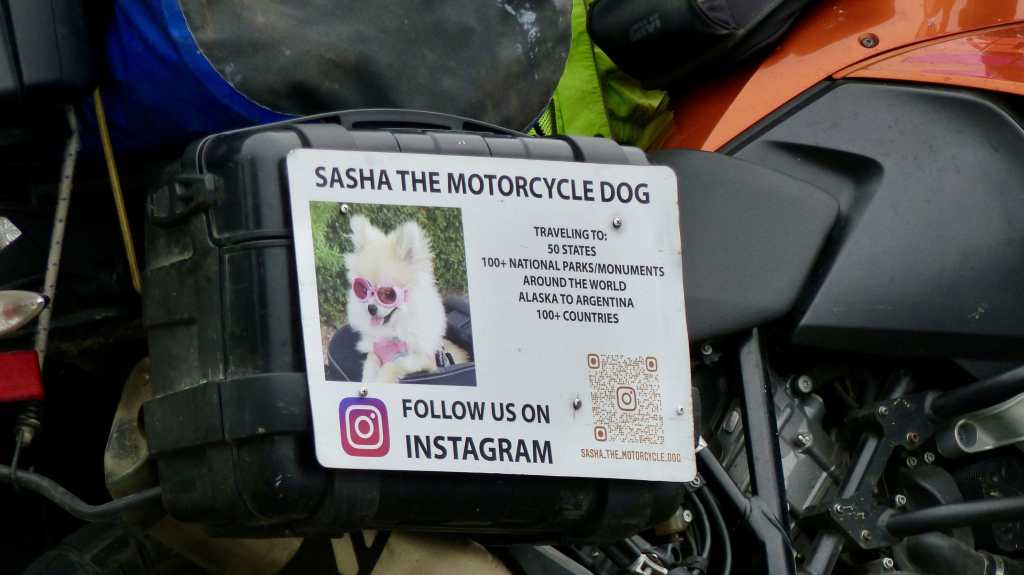
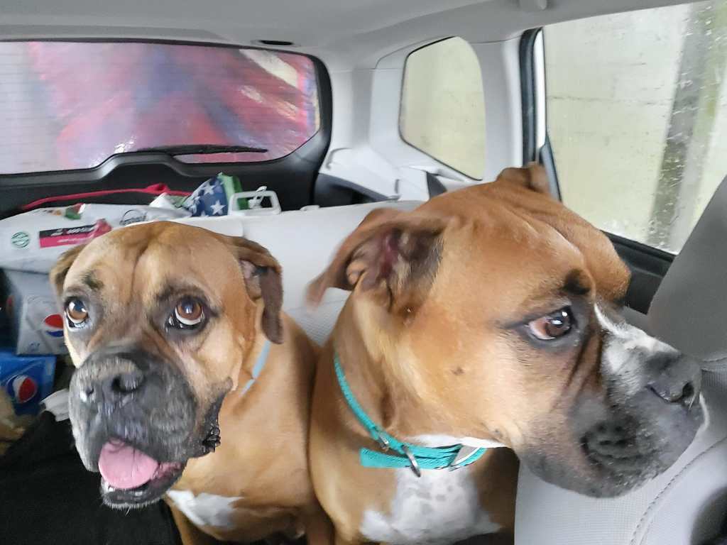
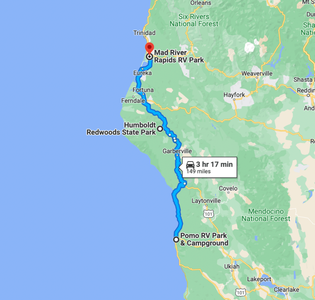


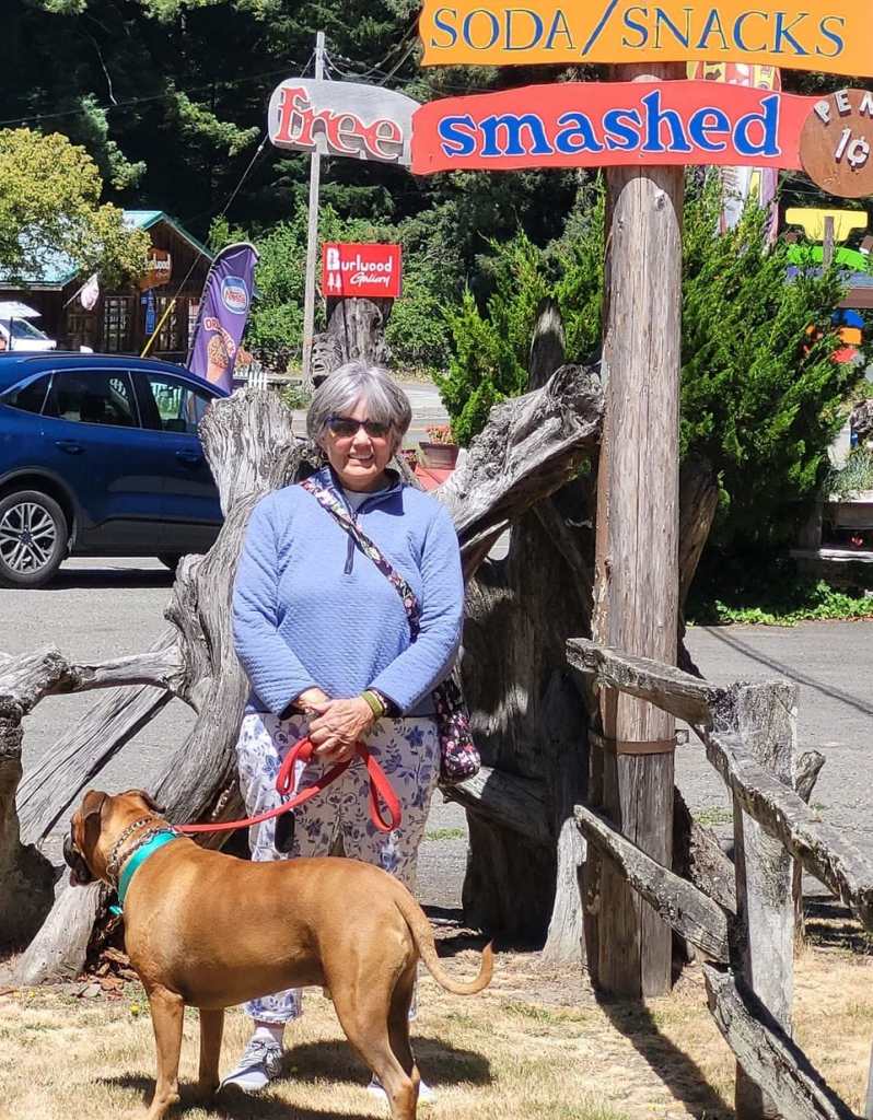


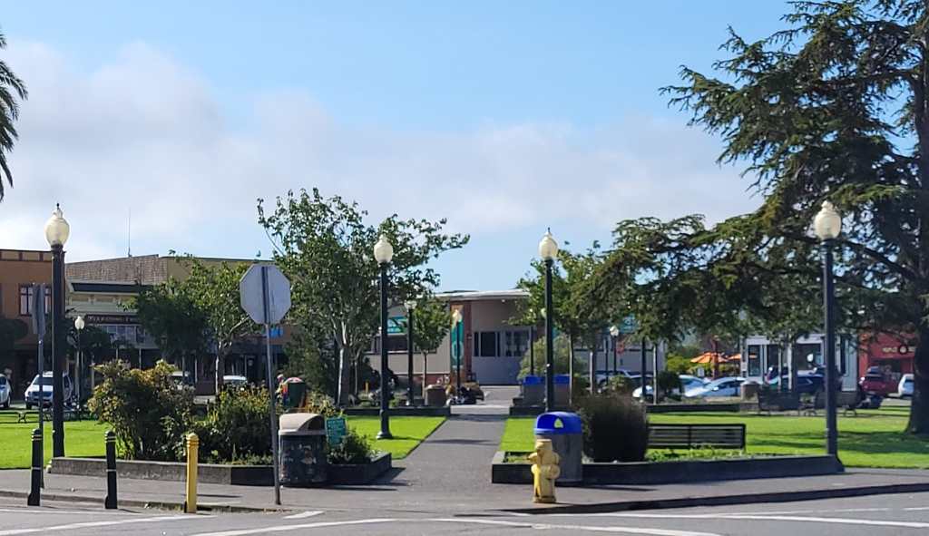


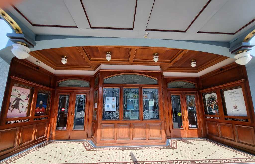
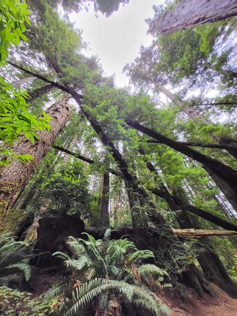


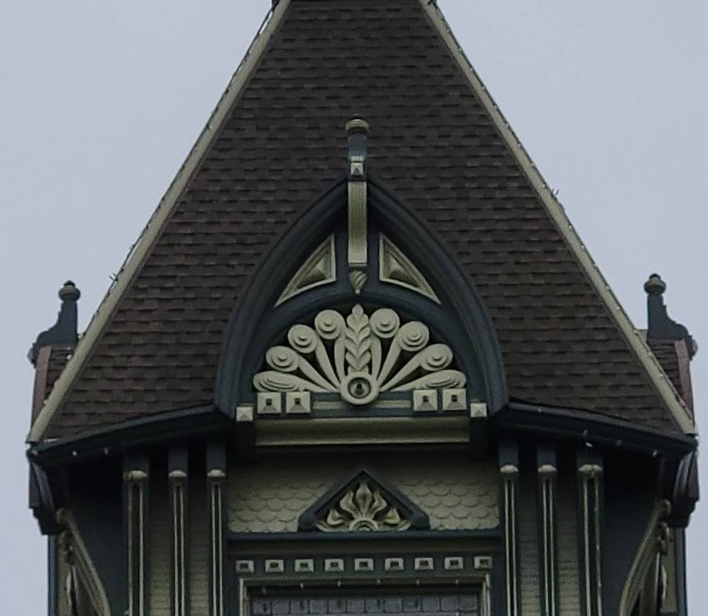
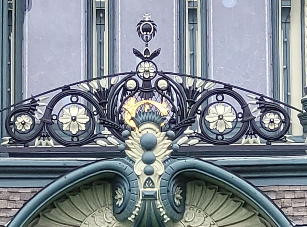
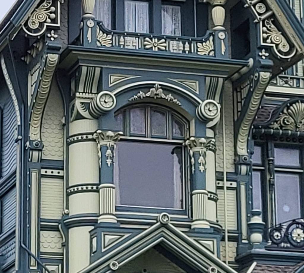


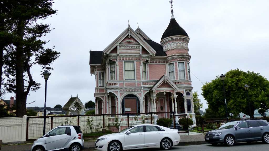


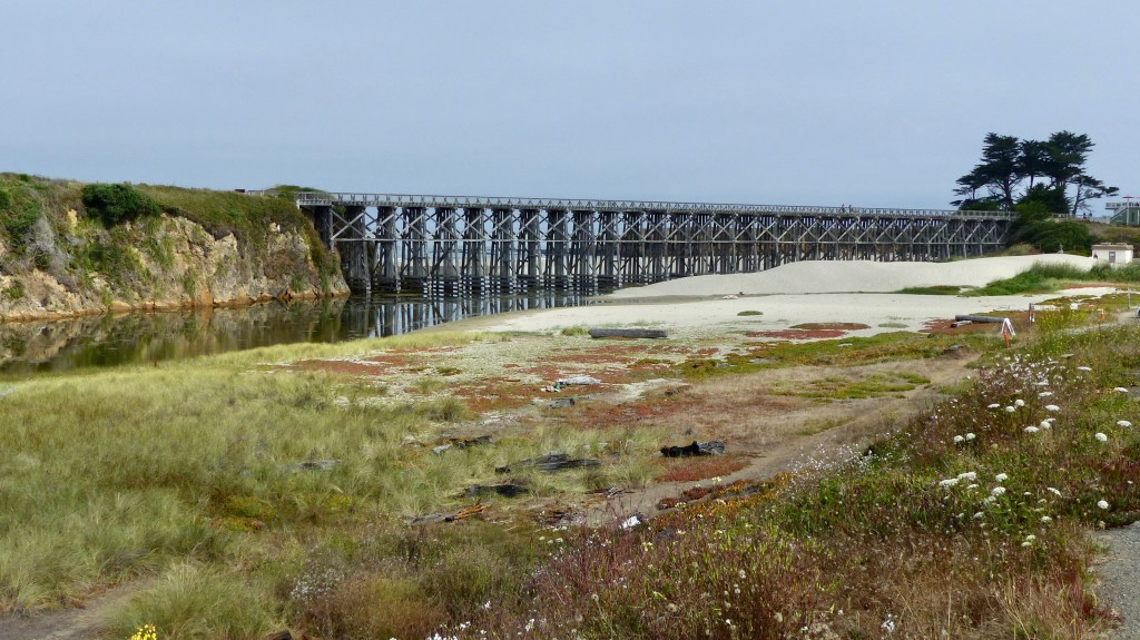
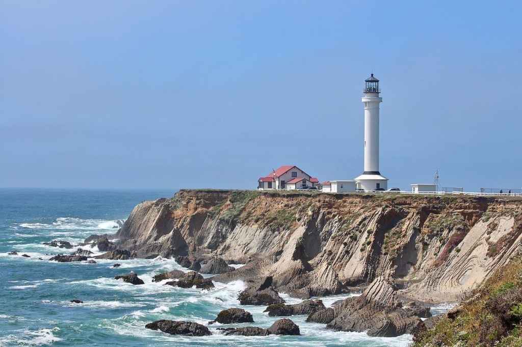


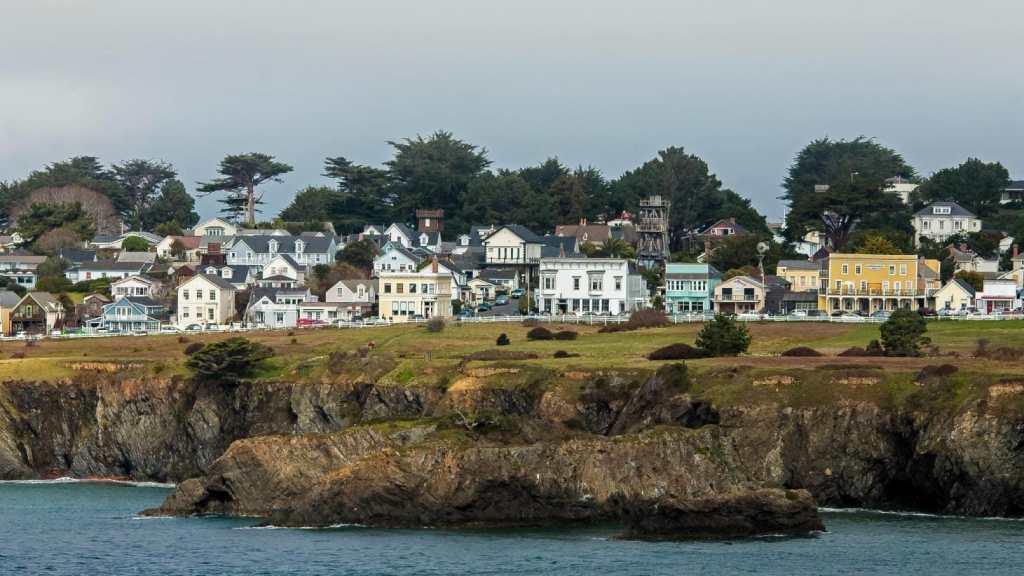


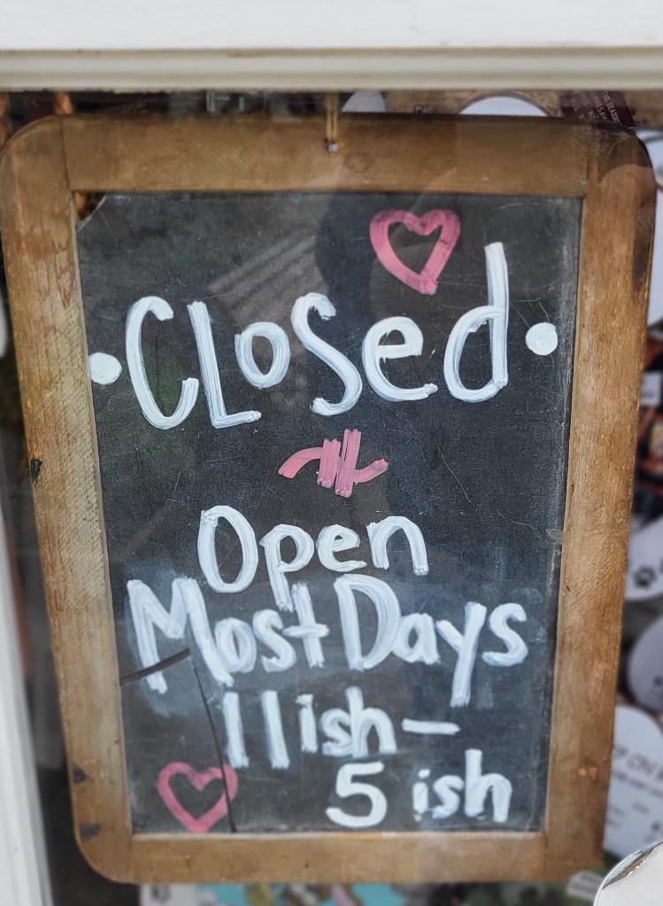
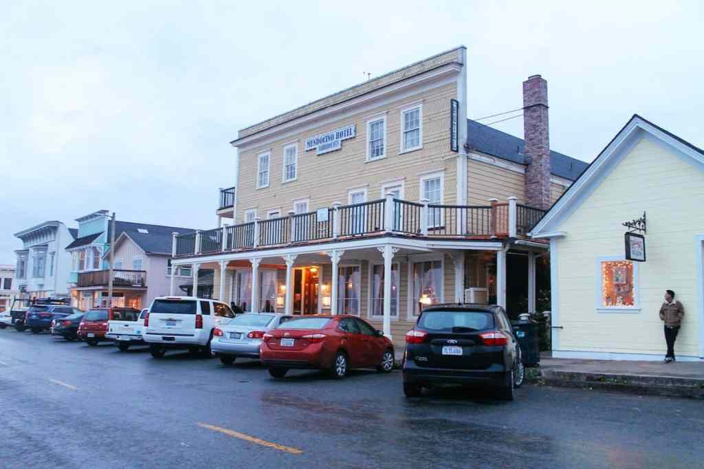


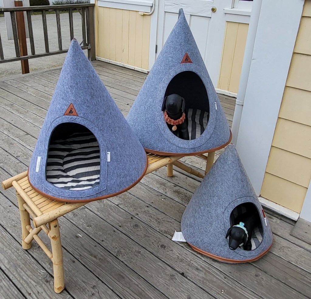

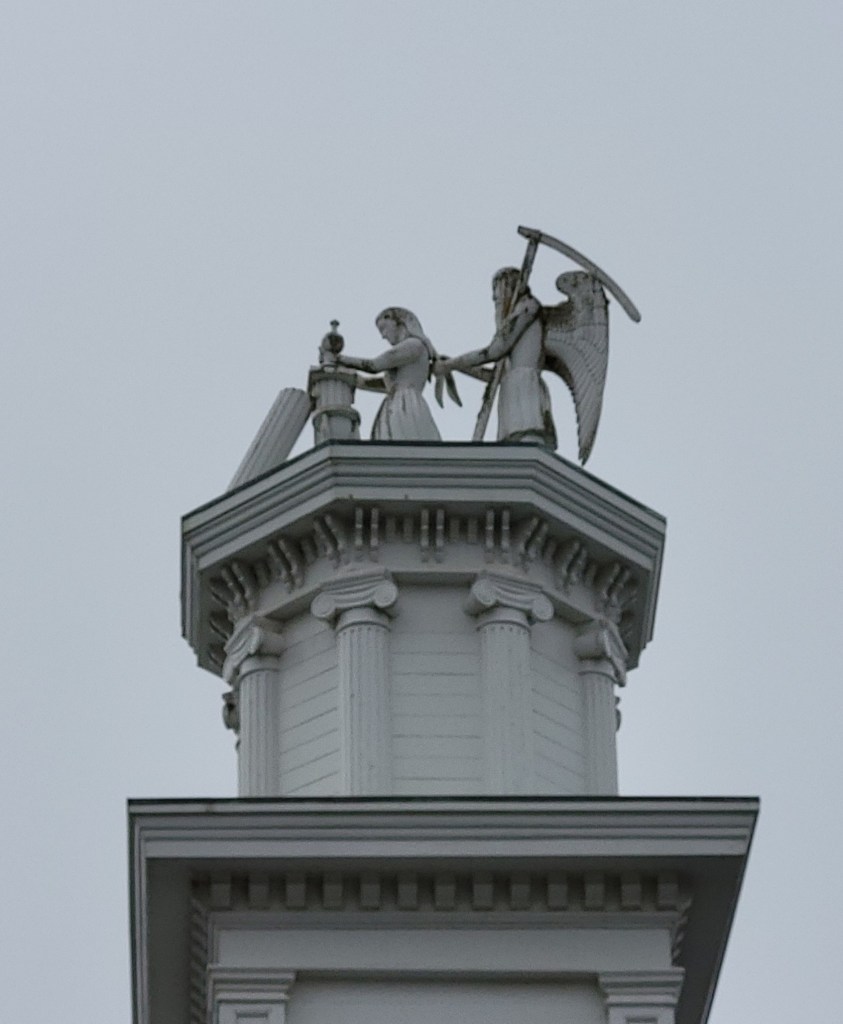


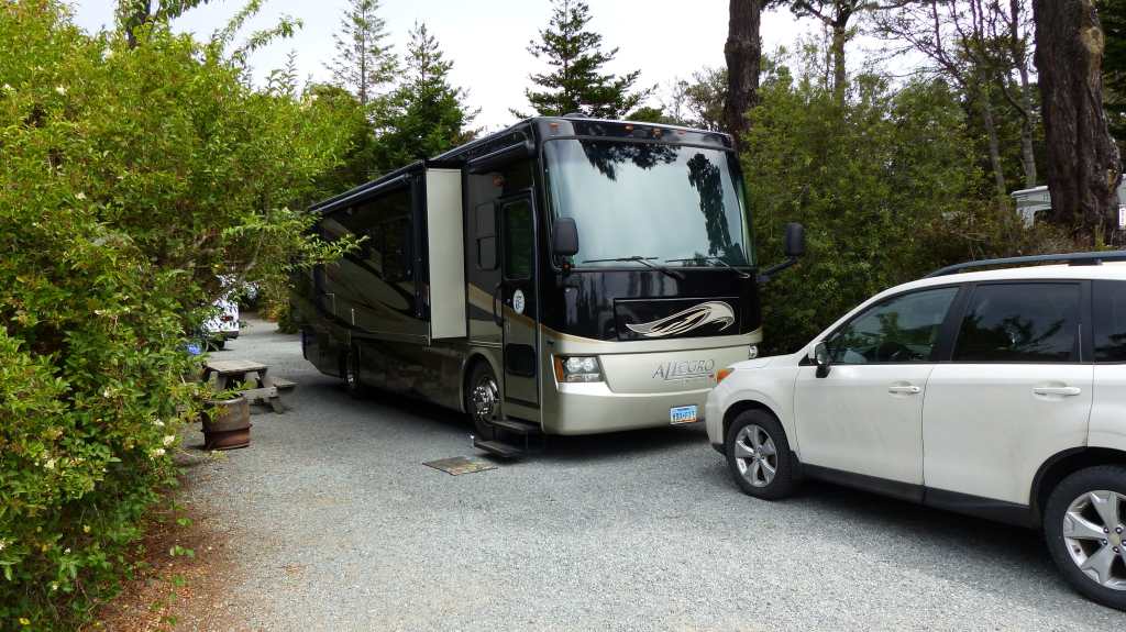


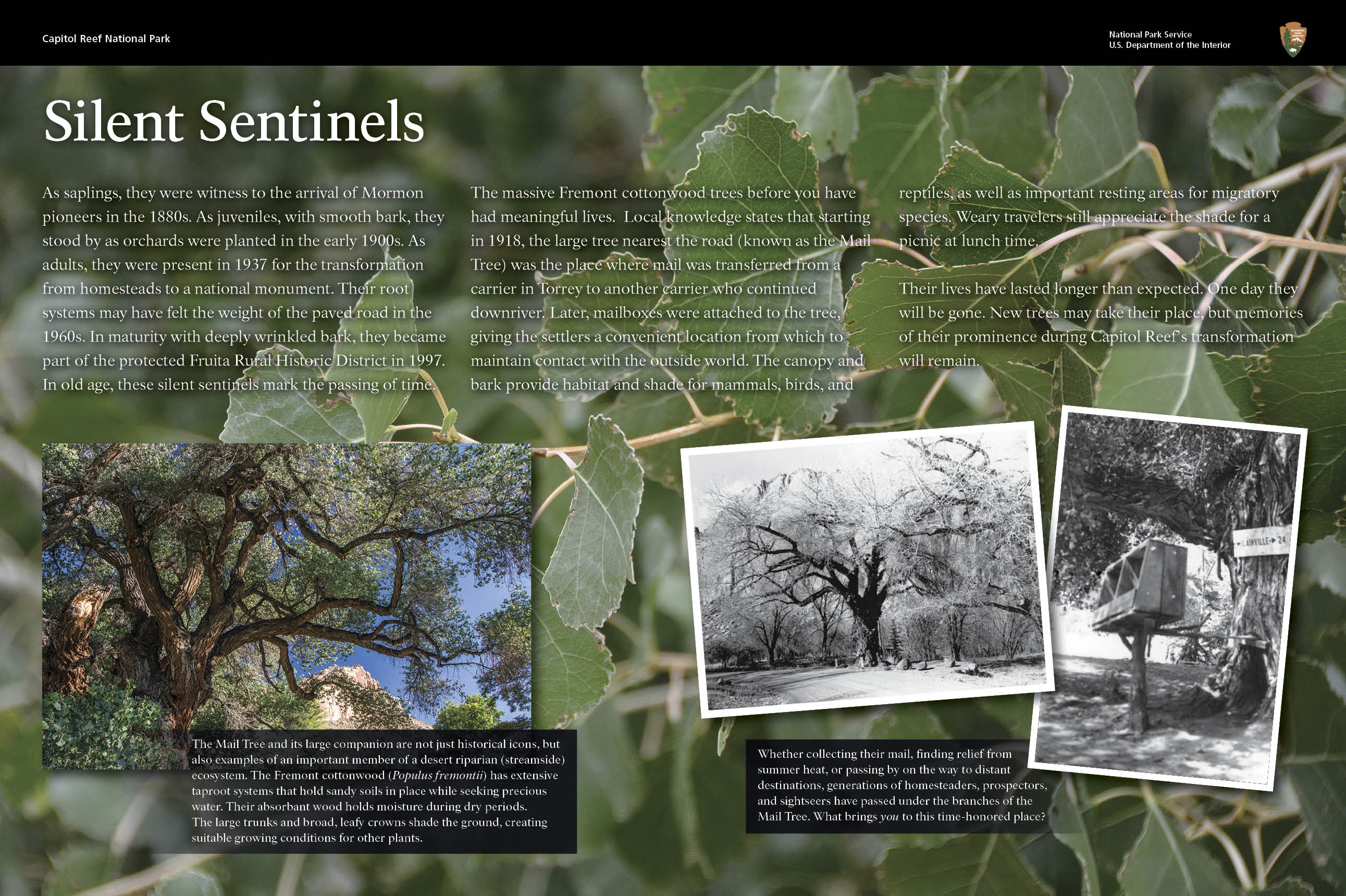