Tuesday, September 1, 2020
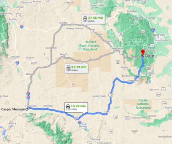
Travel from Casper to our present location in Custer, SD was quite exciting! Not because of the miles of High Plains we traveled through but the incessant wind. Our RV is built like a big bread box and handles poorly with strong side winds trying to push it either off of the road or into oncoming traffic. But that was the downside. We made it safely and without incident.
In earlier times we have traveled with weather in mind, staying put sometimes and traveling others to avoid bad weather. But that was when it was easy finding camp site availability. This has not been the case this particular trip. It’s a COVID-19 thing. Lots of people are out camping with their families, enjoying the outdoors, breathing fresh air rather than hunkering down at home. We’ve had to preplan our stops due to the lack of RV site availability and make reservations in advance, a style not to our liking.
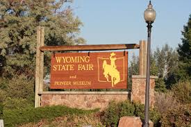
We found Casper an OK place to visit. About 50 miles east right off of I-25 is the town of Douglas (6100 souls), the seat of Converse County and home of the Wyoming State Fair. Wow, what a beautiful little town. We exited the highway just to drive through town and stretch our legs. We found a school with a fenced field and let the dogs romp. They hadn’t been allowed off leash for several days and boy did they have fun!


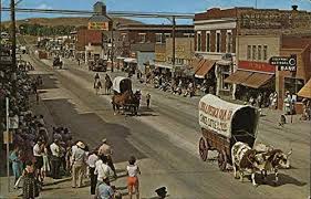
Douglas (named after Senator Steven A. Douglas) has a colorful history. It had been in existence since 1867 when Fort Fetterman (1867- 1882) was built to protect the Bozeman Trail. It was first known as “Tent City”. The town served as a supply point, warehousing and retail for surrounding cattle ranches as well as providing services for railway crews, cowboys and US Army troops stationed at the fort. Douglas was the site of a WWII internment camp, Camp Douglas, first housing Italian, then German prisoners of war. Nearby sights include the Douglas Railroad Interpretive Center, Thunder Basin National Grassland, and the Ayer’s Natural Bridge.


In 1932, the legendary Jackalope was attributed to Douglas Herrick (1920−2003) of Douglas, and thus the city was named the “Home of the Jackalope” by the state of Wyoming in 1985. Douglas has issued Jackalope Hunting licenses to tourists. The tags are good for hunting during official Jackalope season, which occurs for only one day, June 3rd.
We leave I-25 in favor of Highway 18 at Orin. The wind had been following and now quarters off of our left side making steering the bread box a little more interesting. We pass a few towns, again some without census until we come to Lusk (1500 souls), the seat of Niobrara County. The town is another of many cattle towns and is known as the seat of the least populated county in the least populated state in the Union.
Excerpt from Wikipedia: The Black Hills Gold Rush brought fortune seekers to the Wyoming Territory. Within two years, the stage coach route between Cheyenne, Wyoming and Deadwood, South Dakota delivered freight, including salt pork and whiskey. The boom also brought armored stage coaches and gold bricks, along with Indians and thieves.[8]The Cheyenne–Deadwood route operated from 1876 to 1887, when it was replaced by the Wyoming Central Railway.[9]

US 18 takes us almost due north which puts the heavy winds blowing perpendicular across our port flank. That’s when the evil wind tries to blow us off into the sagebrush but I won’t let it. We arrive at Mule Creek Junction where US 85 continues north and US 18 takes a right turn to the east. Thankfully a nice rest stop has been thoughtfully provided by the State of Wyoming. We stop and take a breather, then continue on and are thankful the wind is at our back.

The flora is changing. Grass is now the dominant species. Hmm…. Just across the Wyoming/South Dakota border is a sign indicating that we have entered Buffalo Gap National Grassland. Jil waits anxiously to snap a picture of the “Welcome to South Dakota” sign and misses it because it’s a very small sign partially hidden by a parked car. It’s not the first state welcoming sign she’s missed on this trip- she’s missed ‘um all!

Edgemont (774 souls) first town we come to in SD. Edgemont sets alongside the Cheyenne River on the southwestern flank of the Black Hills. To the north of this gateway community on US 18, the mountains of the Black Hills abruptly rise 1,500 feet in two miles. Edgemont is the southern terminus of the George S. Mickelson Recreational Trail, the premier hike-bike-horse recreational trail in the Black Hills. From Edgemont, the trail runs 114 miles north, all the way to Deadwood.
There’s more to Edgemont than meets the eye. This area of South Dakota was involved in a uranium mining boom that lasted four decades. What’s left remains scarred by abandoned mines, millions of pounds of buried radioactive waste and persistent human health concerns. Not knowing the town’s problems the place looks pretty normal to this traveler.
We continue on and have a choice. Continue straight towards Hot Springs, the long cut or turn towards Custer on SD89, the shortcut. Maybe if we hadn’t been fighting the wind and we were a little younger we may have continued to scenic Hot Springs. So SD89 it is. Scenery continues to change. More hills, some trees and the road has us gaining elevation. We turn onto US 385 at Pringle.

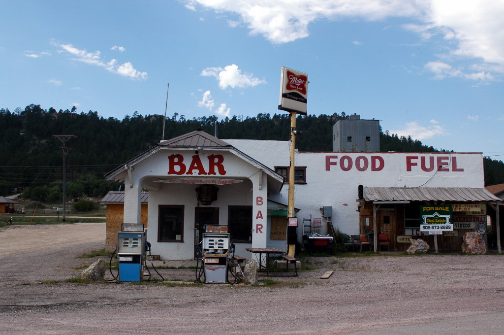
Pringle is a near ghost town with around a hundred souls. This place got its start as a stage stop on the Sydney-Custer Trail. The operator, Henry Pringle named it the Point of Rocks Station for the rock outcropping located nearby. During the Black Hills Gold Rush of 1874-1876 this trail was jealously guarded by the Lakota and Cheyenne, who regularly attacked wagon trains and stagecoachs as they were trespassing on tribal sacred ground. Road agents and horse thieves did their own dirty work. A small community developed, the settlers making their livelihoods from ranching, mining, and logging.
In 1890, the Chicago, Burlington and Quincey Railroad reached the settlement at which time the town’s name was changed to Pringle, in honor of Anna Carr Pringle’s generous hospitality towards railroad crews.


Unfortunately, today Pringle is best known as the town closest to a compound belonging to the Fundamentalist Church of Jesus Christ of Latter Day Saints. This “fortress was established in 2003 by a polygamist offshoot of the LDS Church. This is the same group that was raided 2008 at their Texas compound over accusations of sex abuse with Warren Jeffs receiving a life sentence. The compound still exists today. Little towns, little problems, right?

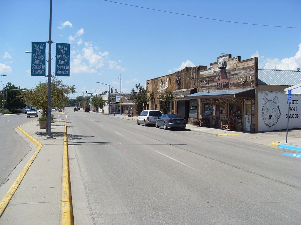
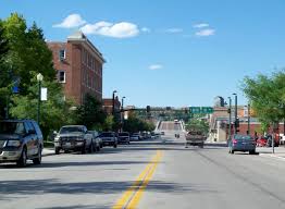
Just past Pringle we enter a beautiful forest, the Black Hills National Forest. Eleven miles up the road we arrive at the city of Custer (1940 souls), driving through the colorful little place to our home for four nights, Custer’s Gulch RV Park. Custer is on our list of destinations as this is where our friends Tim and Renee have a summer home……. and who can pass up seeing the wonderful Custer State Park?
Next time I promise to have many beautiful photos of the outstanding scenery in and around Custer!

