Thursday, September 10, 2020
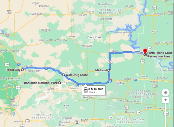
Pierre (13,500) souls is the state capitol of South Dakota and we are heading over there to visit the city and maybe have a chin wag with Governor Kristi Noem! We’ll be heading east on Interstate 90 for a while, then head through farmland on country roads. Two places on the route worth visiting are Wall Drug and Badlands National Park.

The first place we come to is Wall, SD (766 souls). Wall Drug is the principal industry in the town of Wall. It’s a sprawling tourist mall that occupies most of downtown and employs nearly a third of its population. Over a million people stop at Wall Drug every year — 20,000 on a good summer day. If every Wall resident decided to rent a motel room on the same night, there’d still be over 400 vacancies.


Wall used to be known by locals as “the geographical center of nowhere.” But that was before Ted Hustead came along. This small-town drugstore made its first step towards fame when it was purchased by Ted Hustead in 1931. Hustead was a Nebraska native and pharmacist who was looking for a small town with a catholic church in which to establish his business. He bought Wall Drug, located in a 231-person town in, ahhhh, “the middle of nowhere,” and strove to make a living. Business was very slow until his wife, Dorothy, thought of advertising free ice water to parched travelers heading to the newly opened Mount Rushmore monument 60 miles (97 km) to the west. From that time on business was brisk.

Wall Drug grew into a cowboy-themed mall and department store. It includes a western art museum, a chapel based on the one found at New Melleray Abbey near Dubuque, Iowa, and an 80-foot brontosaurus that can be seen right off Interstate 90. It was designed by Emmet Sullivan who also created the dinosaurs at Dinosaur Park in Rapid City.


To this day, Wall Drug still offers free ice water- and coffee for 5 cents, the bumper stickers that advertise the place used to be free but now cost an affordable 15 cents. Coffee and doughnuts are still free to military personnel. We heard that Wall’s plain cake doughnuts are delicious but we’re not willing to stand in a line 20 deep to give them credence.

Ted Hustead died in 1999. The following day, South Dakota Governor Bill Janklow began his annual State of the State address by commemorating Hustead as “a guy that figured out that free ice water could turn you into a phenomenal success in the middle of a semi-arid desert way out in the middle of someplace.”


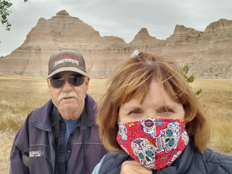
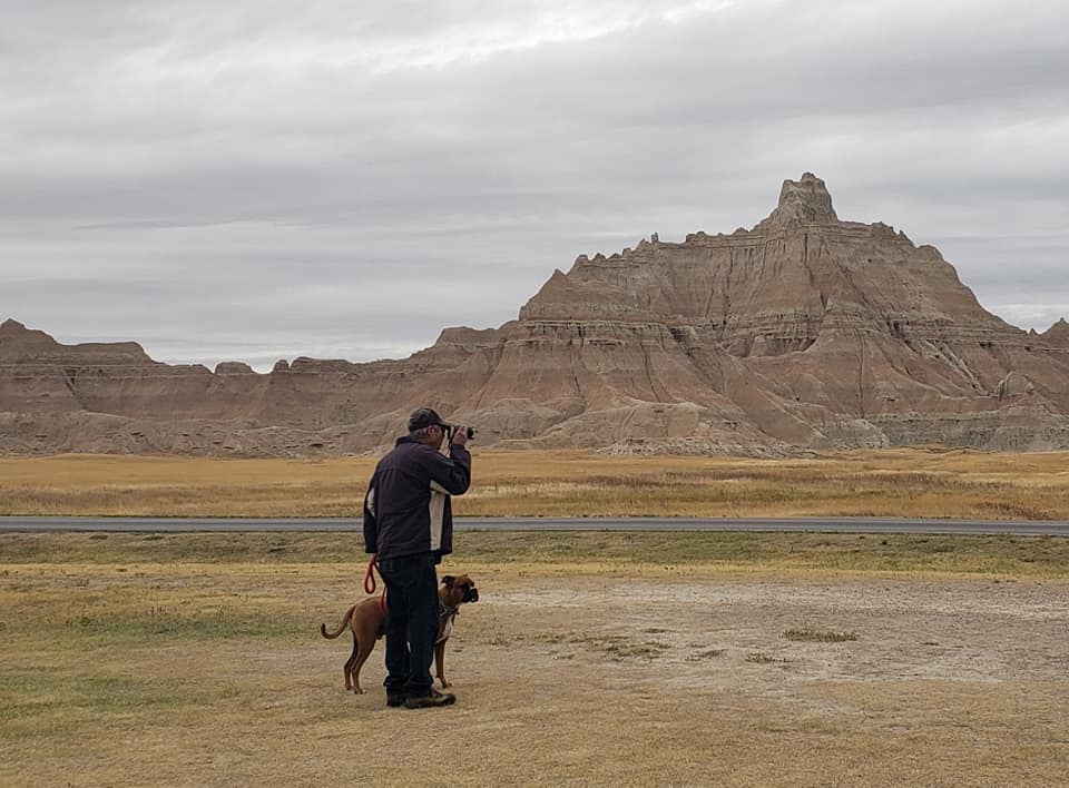
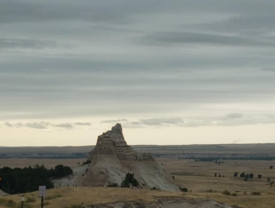
We leave this well-known tourist trap, er, attraction and head towards Pierre. Do we really want to go see the Badlands? I’d like to go, Jil is iffy. Curiosity won out and we are sure glad it did! Badlands National Park is a must see. It’s pretty easy to drive by as ya really can’t see it from the Interstate. We stop at the entrance station, present our Geezer Pass (the America the Beautiful Senior Pass) and proceed without having to pay the $30 seven day pass fee. That pass has paid for itself over and over again. When purchased many moons ago the price was $10. Today it’s cost is $80 plus a $10 handling fee- and it’s still a bargain if one frequents National Parks of National Monuments. Heck even some states allow their use at their parks.

Driving the five miles to the Visitors Center we pass three munchers- ram bighorn sheep graze right next to the road, then drive around weird formations and down a steep and narrow road to the bottom of the Wall (explained later). There was a line to go into the visitors center so we pass, preferring to walk the mutzos and snap a few photos of this beautiful area.
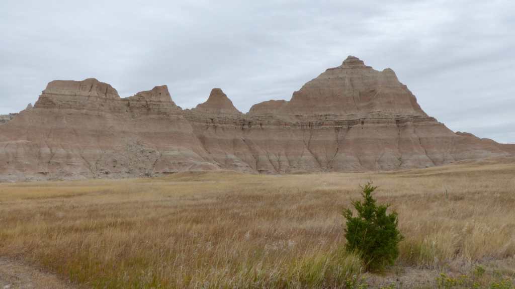

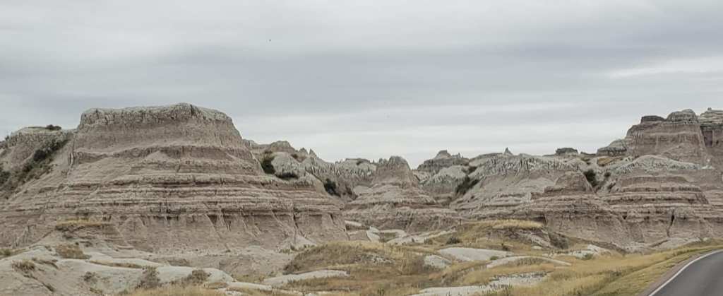
Excerpt from US Parks.com: The bizarre landforms called badlands are, despite the uninviting name, a masterpiece of water and wind sculpture. They are near deserts of a special kind, where rain is infrequent, the bare rocks are poorly consolidated and relatively uniform in their resistance to erosion, and runoff water washes away large amounts of sediment. On average, the White River Badlands of South Dakota erode one inch per year. They are formidable redoubts of stark beauty where the delicate balance between creation and decay, that distinguishes so much geologic art, is manifested in improbable landscapes – near moonscapes – whose individual elements seem to defy gravity. Erosion is so rapid that the landforms can change perceptibly overnight as a result of a single thunderstorm.
At Badlands National Park, weird shapes are etched into a plateau of soft sediments and volcanic ash, revealing colorful bands of flat-lying strata. The stratification adds immeasurably to the beauty of each scene, binding together all of its diverse parts. Viewed horizontally, individual beds are traceable from pinnacle to pinnacle, mound to mound, ridge to ridge, across the intervening ravines. Viewed from above, the bands curve in and out of the valley like contour lines on a topographic map. A geologic story is written in the rocks of Badlands National Park, every bit as fascinating and colorful as their outward appearance. It is an account of 75 million years of accumulation with intermittent periods of erosion that began when the Rocky Mountains reared up in the West and spread sediments over vast expanses of the plains. The sand, silt, and clay, mixed and interbedded with volcanic ash, stacked up, layer upon flat-lying layer, until the pile was thousands of feet deep. In a final phase of volcanism as the uplift ended, white ash rained from the sky to frost the cake, completing the building stage.

Broad regional uplift raised the land about 5 million years ago and initiated the erosion that created the Badlands. The White River, which now flows west to east five or ten miles south of the park, eroded a scarp, the beginning of what is now called the Wall (remember Wall and its Drugstore?). Numerous small streams and rills furrowed the scarp face and eventually intersected to create the Badlands topography. Each rainstorm over the next 5 million years chewed away at the Wall, making its crest recede northward away from the river as its base followed suit. This is an old story in the arid and semi-arid regions of the West. It always happens in rocks that are relatively non-resistant erosion and it always starts with a scarp.


We thoroughly enjoyed our visit to the Badlands and now must continue on towards Pierre. Back on I-90- Uh, oh, traffic is coming to a crawl. Crap! We crawl along for several miles until we finally reach a farm road, highway 63 that will take us to US 14 and Pierre. There’s one town on this road, Midland (127 souls). It was named because it lies halfway between the Cheyenne and Missouri Rivers. The Garmin GPS tells us to turn right at the grain bins. Really? No, but that’s exactly what we did, turn at a farmer’s grain bins.
Highway 14 is the main east west road to Pierre. It’s a two lane rolling country road and I’m not in any rush so I travel at a comfortable speed. It’s too slow for the cowboys that live out here so we get passed a few times. Then a semi comes up behind us and he’s too close for comfort. I move as far over to the right as I can so the truck driver can see down the road. He honks at us with his air horn but doesn’t pass. There’s no turnouts so I continue on- but a little faster. He stays right up with us. Finally there’s a good place for the trucker to pass- I slow down a little, he passes but not with furiously blowing his horn! What the heck was that about? Finally, we arrive, first in Fort Pierre which is on the west side of the Missouri River, then cross the bridge into Pierre, South Dakota’s Capital, continuing on US 14 to Farm Island State Recreation Area, our home for three days.
