
Monday, October 17, 2022
History: Bonneville Hatchery was constructed in 1909. In 1957, the facility was remodeled and expanded as part of the Columbia River Fisheries Development Program (Mitchell Act)—a program to enhance declining fish runs in the Columbia River Basin. The hatchery underwent another renovation in 1974 as part of the U.S. Army Corps of Engineers’ (USACE) mitigation of fish losses from the construction of the John Day Dam. In 1998, construction was completed on the Captive Broodstock Facility for the Grande Ronde Basin spring Chinook supplementation program.


Bonneville Hatchery is Oregon Department of Fish and Wildlife’s largest hatchery facility and has a diverse fish production program. It is used for adult collection, egg incubation and rearing of Tule fall Chinook, and adult collection and spawning of coho salmon. It is also used for rearing of, summer steelhead, winter steelhead and coho (coho egg incubation occurs at Cascade Hatchery). The hatchery has excellent egg and fingerling quarantine facilities that are often used to assist other hatchery programs in the basin.
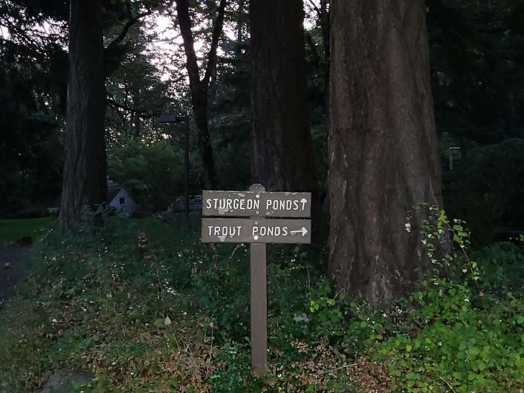
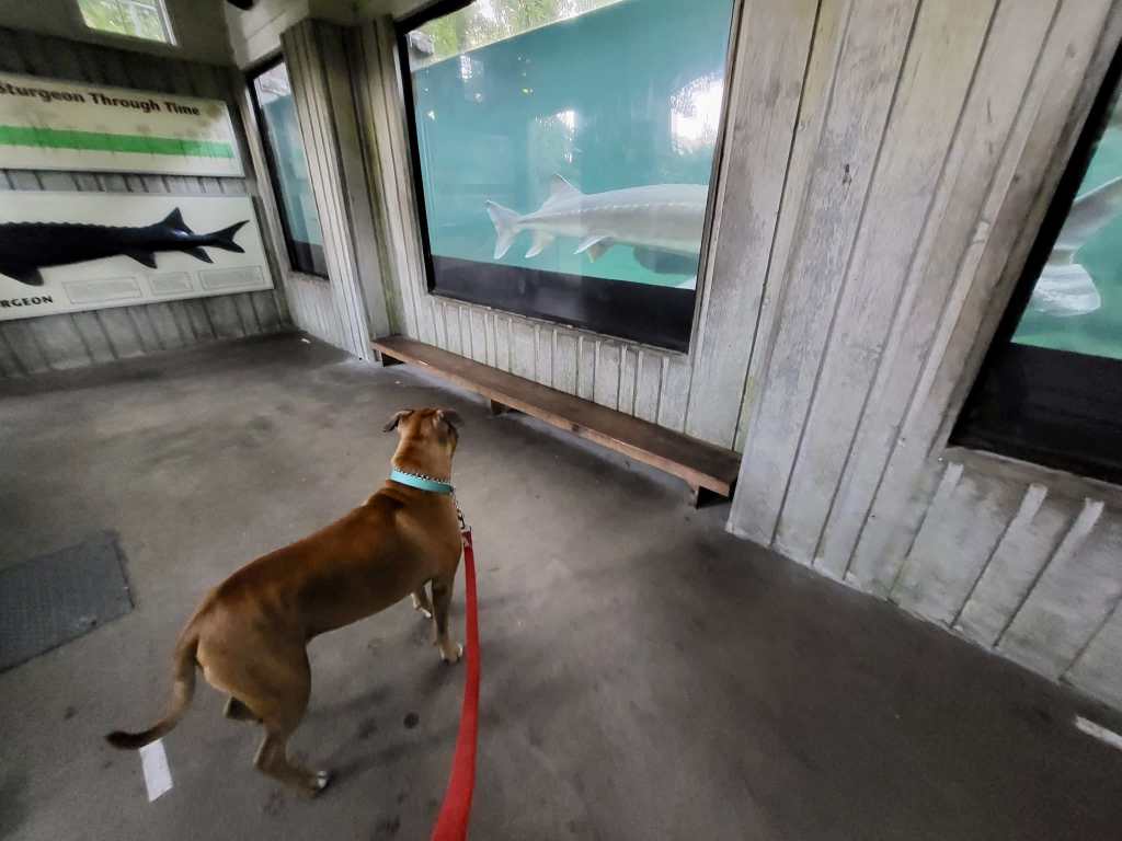
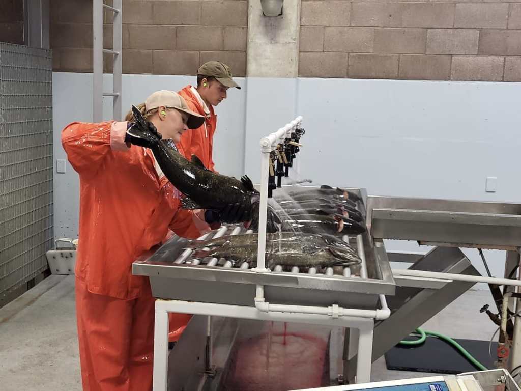
Our 1 million visitors treated to two display ponds which offer a relaxing place to feed large rainbow trout, another pond with many immature four foot white sturgeon and of course ten foot Herman the Sturgeon in his own unique pond where he can be observed swimming via a large window built into the side of the pond. Rearing ponds teaming with baby salmon are also available for viewing. When in season people can observe the sorting and spawning of salmon in the visitors center.


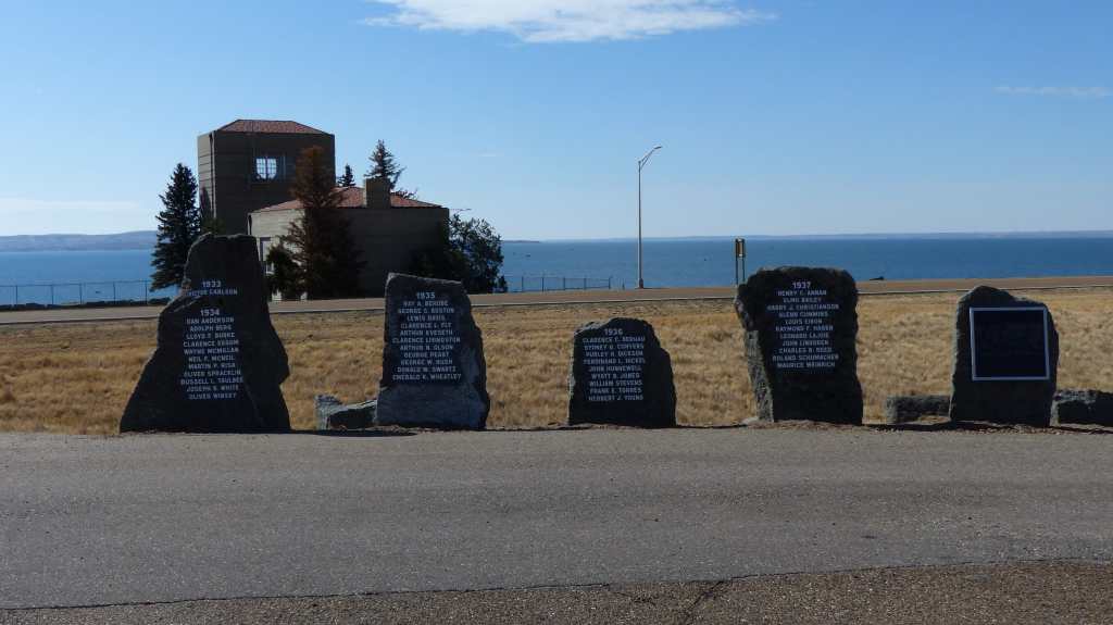
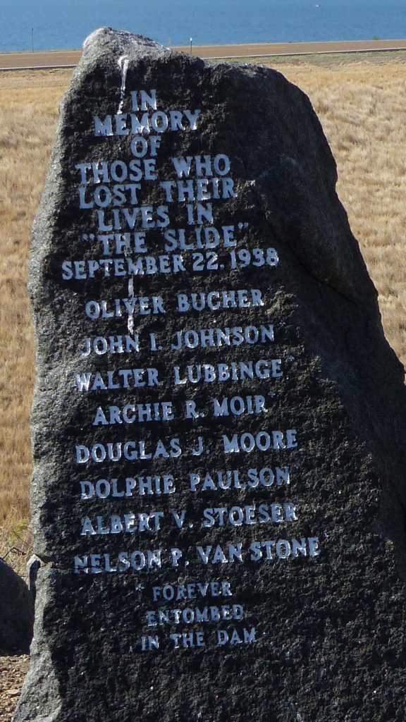
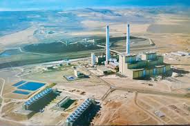
The hatchery is adjacent to the Bonneville Lock and Dam, the lock allowing passage of river traffic past the dam. Bonneville Lock & Dam, built and operated by the U.S. Army Corps of Engineers, was the first federal lock and dam on the Columbia and Snake rivers. The project’s first powerhouse, spillway and original navigation lock were completed in 1938 to improve navigation on Columbia River and provide hydropower to the Pacific Northwest. A second powerhouse was completed in 1981, and a larger navigation lock in 1993. Today, the project is a critical part of the water resource management system that provides flood risk management, power generation, water quality improvement, irrigation, fish and wildlife habitat and recreation along the Columbia River. The dam is one of three hydroelectric power plants operated by the Portland District along the Columbia River and generates enough electricity to power 900,000 homes.
Two visitor centers, one on Bradford Island in Oregon and one on the Washington shore, are open daily from 9 a.m. to 5 p.m. A third visitor center is open seasonally for limited hours at the navigation lock. Located just 40 miles from downtown Portland in the heart of the Columbia River Gorge, Bonneville Lock & Dam provides fun, educational opportunities for all visitors. The large fish ladder is a favorite as well as the fish viewing windows in the visitors center where people can watch several species of fish swim by.
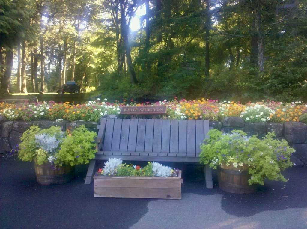
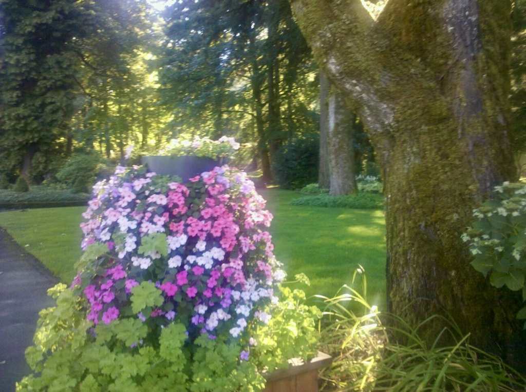
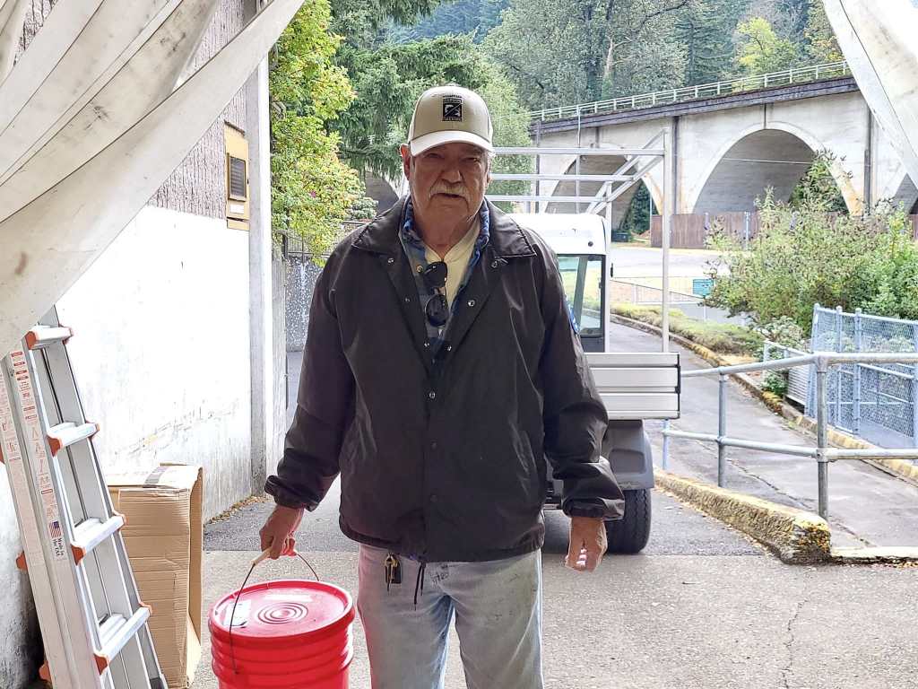
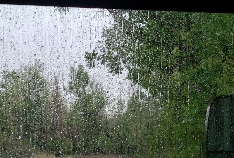
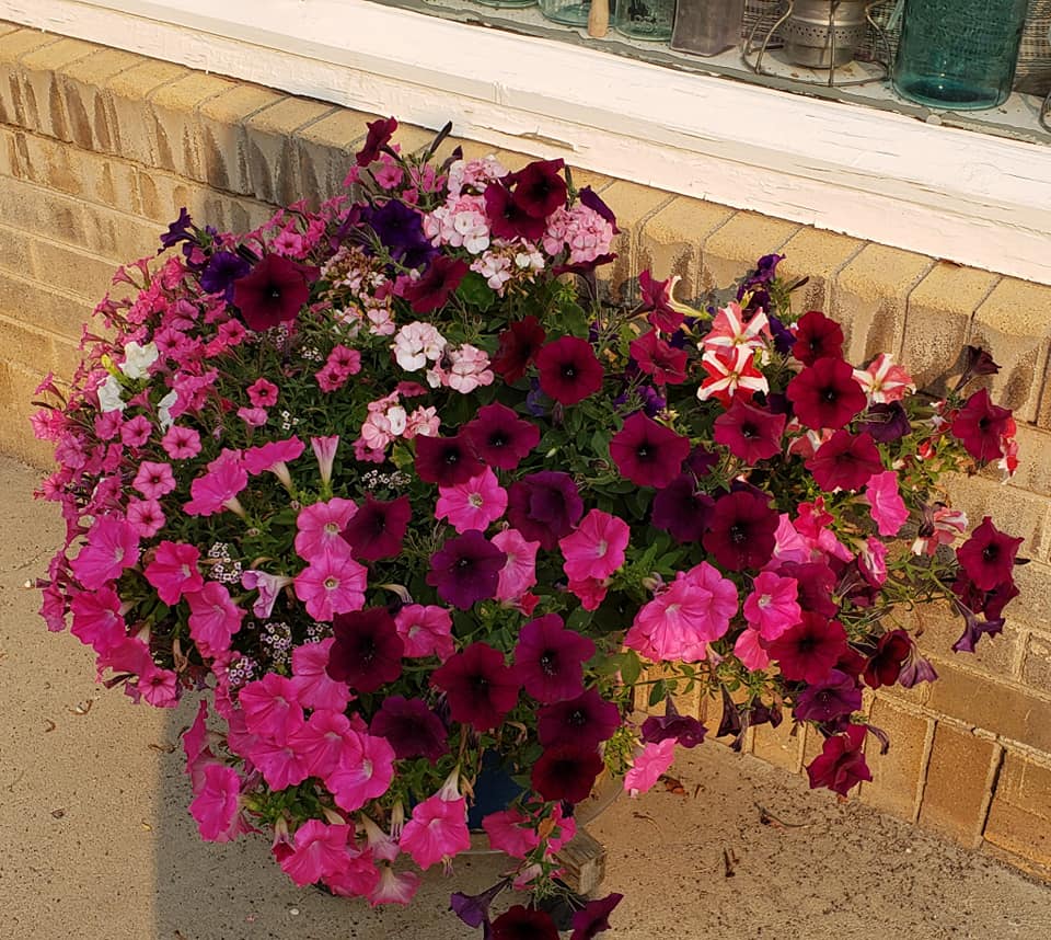
We are still volunteer hosting at the Bonneville Fish Hatchery and will be for another nine days. We’ve been very busy assisting the groundskeeper with, well, keeping the 7 acre hatchery grounds beautiful. Tasks include watering potted plants, feeding Herman the Sturgeon and his pals, they being other large sturgeon and very large rainbow trout. We also blow a lot of leaves with gas powered backpack blowers and handheld gas or electric blowers. Since there has been very warm weather and almost no rain we haven’t been able to use the tow behind vacuum to pick up leaves so we have to do it manually. Bummer…… and a lot more work! Another chore is weeding flower beds and deadheading roses. We are also expected to interact with our many visitors which is always a pleasure.
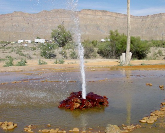
Both of the decorative fountains have been drained and cleaned. Jil’s been keeping up with the educational material supplied for visitor’s reference, copying when needed. She completely renovated an entire flower bed that consisted of spent foxglove and iris plants, dividing and replanting them, then adding bark dust to pretty the bed up. We’ve done quite a bit of trimming of overgrown ivy beds using a powered hedge clipper to trim the borders, then removing ivy runners off of trees. And that’s just some of the projects we’ve taken on.
Jim and Connie Gale arrived on October 3rd. They are the other volunteer hosts here at the hatchery. Jim has made new wooden planter boxes in which to place the plant towers as the old ones had rotted out. The new boxes look great! Connie has been digging out blackberry plants that have rooted in the planter bed next to their RV for the past 2 weeks.
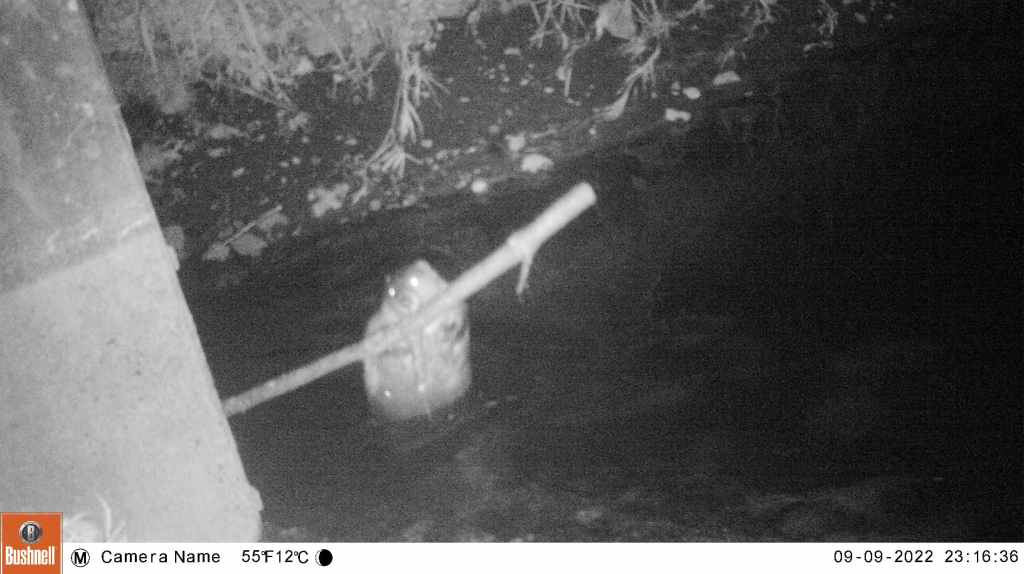
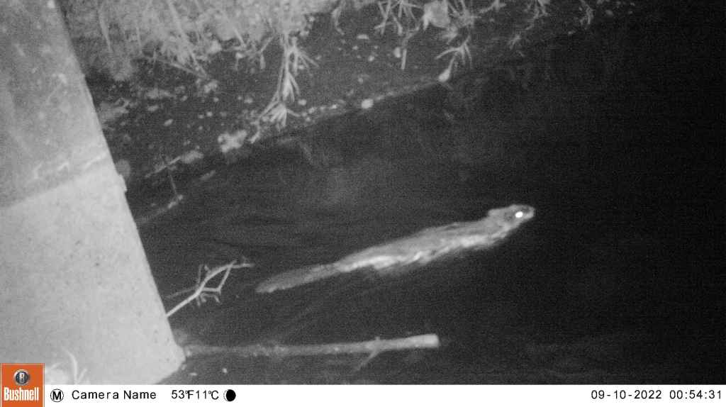


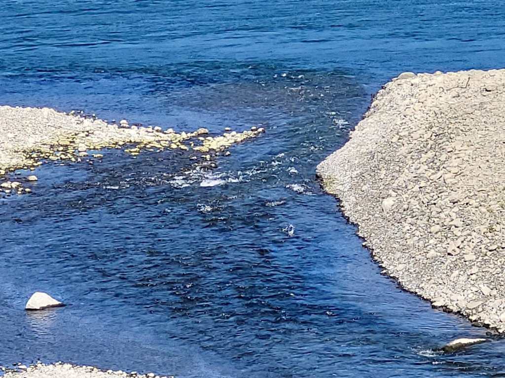
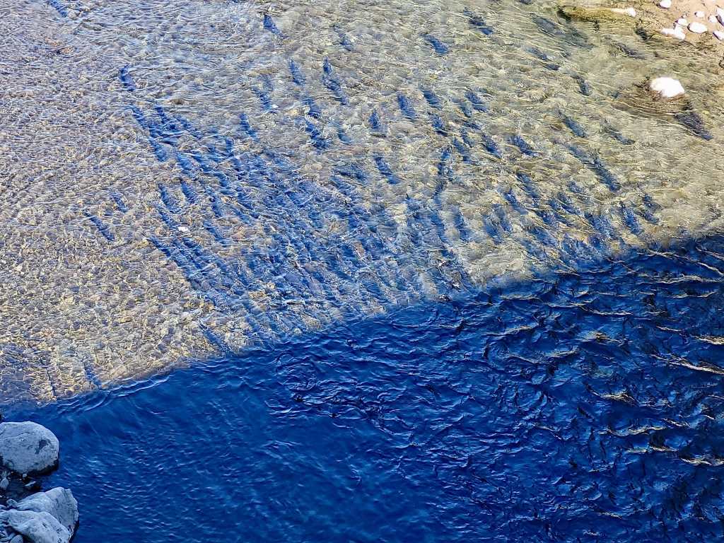
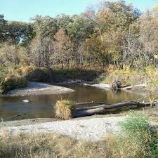
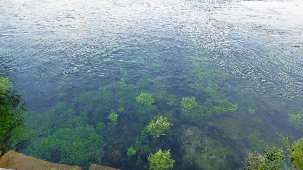
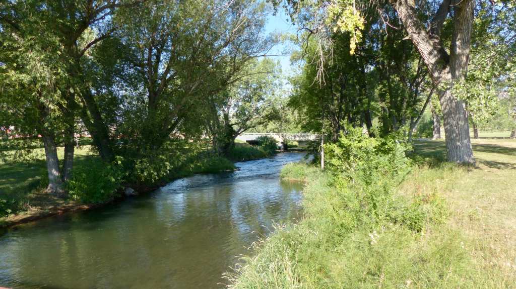
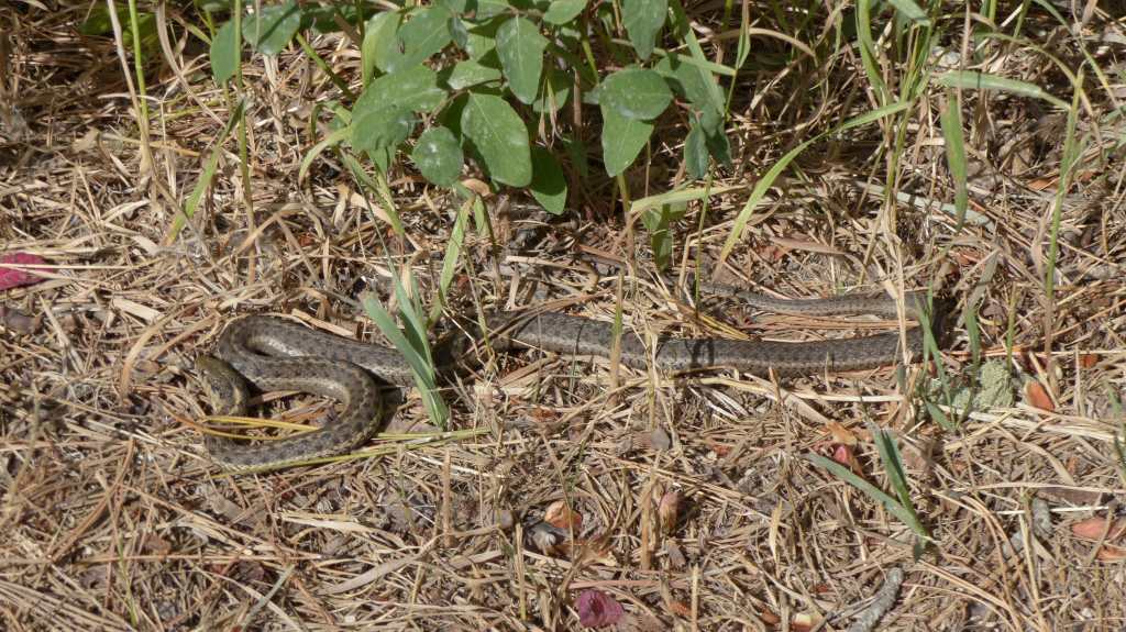
Mitchell Creek runs through the grounds. Beaver love to take up residence in the creek which creates havoc on the flora and fauna of the hatchery. They are “invited” to leave by lowering the water level of Mitchell Creek so the habitat is not so inviting to them. But- the beaver fight back by trying to build a dam across the outfall. We counter by removing 10′ long, 8″ diameter tree branches and other beaver debris that they sneak to dam the water. So far we are winning but it’s been a battle. They will probably give up and go back to the Columbia in time. Jim’s “critter cam” caught the rascals at work……….


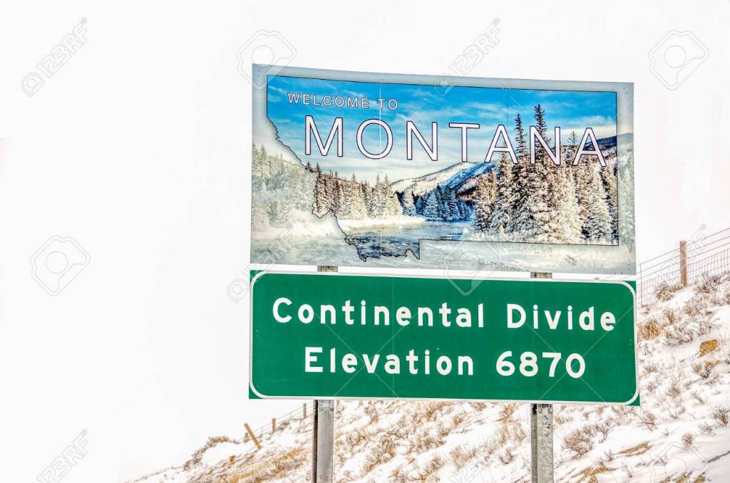
We’ve had some interesting visitors. Tour buses arrive almost daily whose occupants come from all over the U.S. and Canada. Bus loads of school kids are frequent visitors as are college students on fact finding missions. We’ve even had special visitors from Montana, the Chief Mountain Hotshot wildfire-fighting crew who were on their way to a fire near Eugene, Oregon.
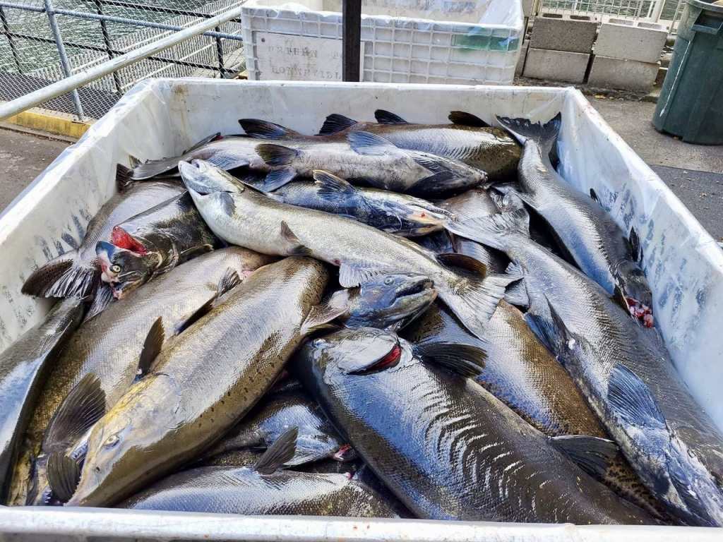
The tule chinook salmon run is over. The tules were spawned over a period of two weeks on three different occasions with 5 million eggs collected and fertilized. The eggs are in the incubation building maturing. Tomorrow Jil and Connie will assist with removing dead eggs, a tedious task requiring the adept use of tweezers and good eyes……..


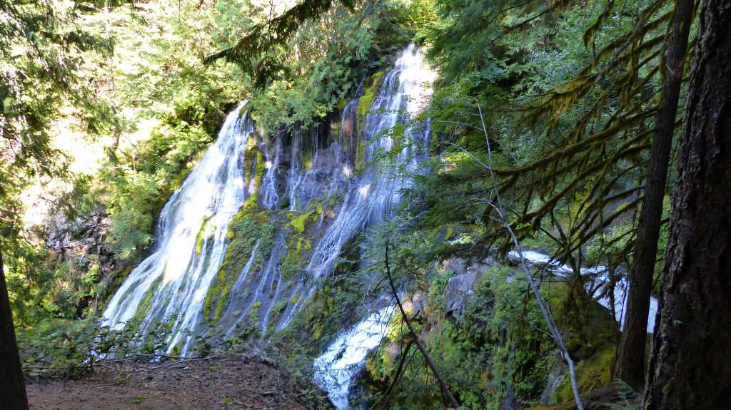
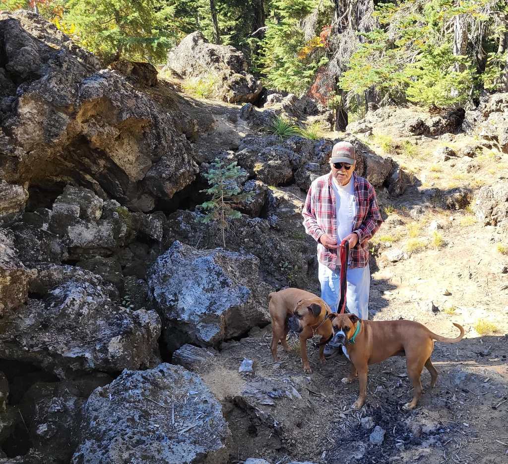
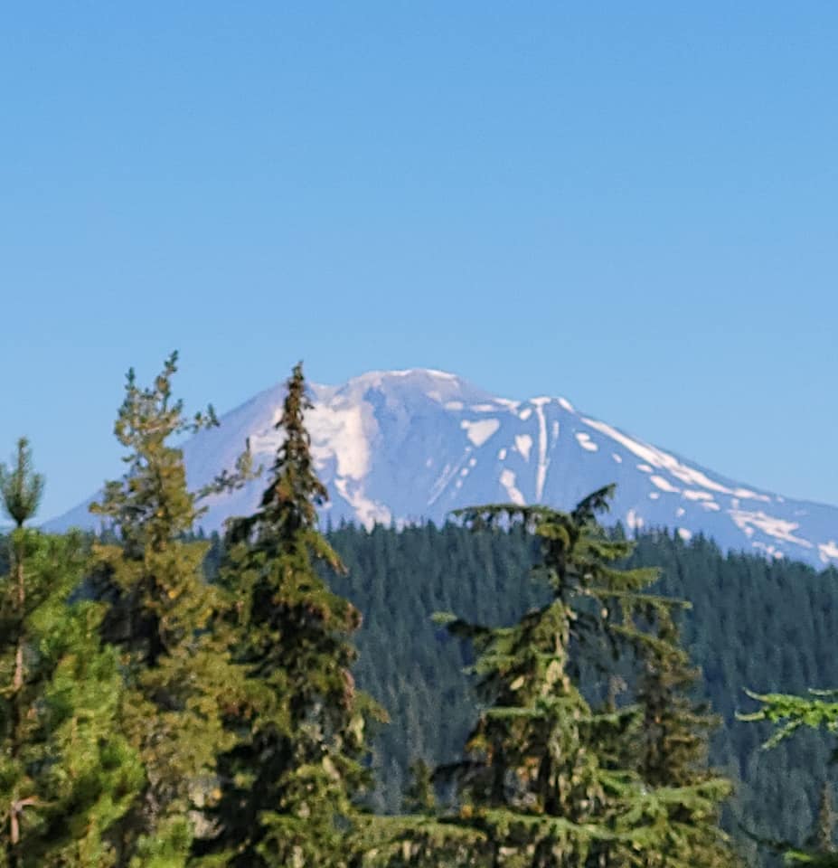
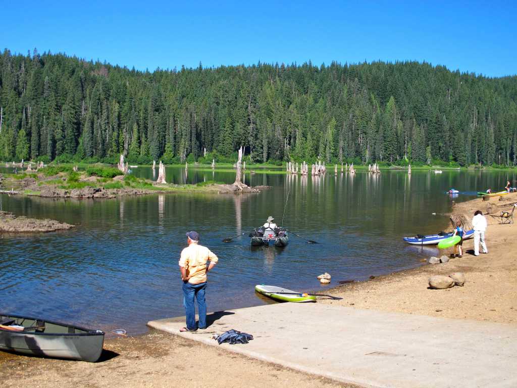
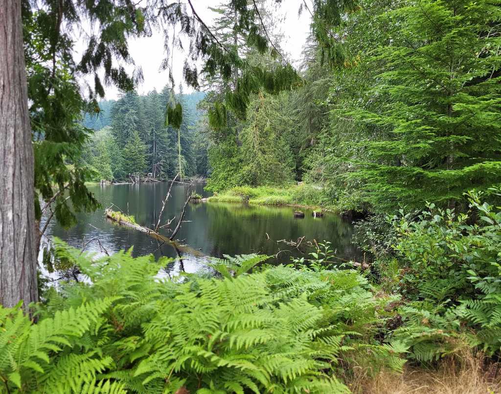
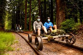
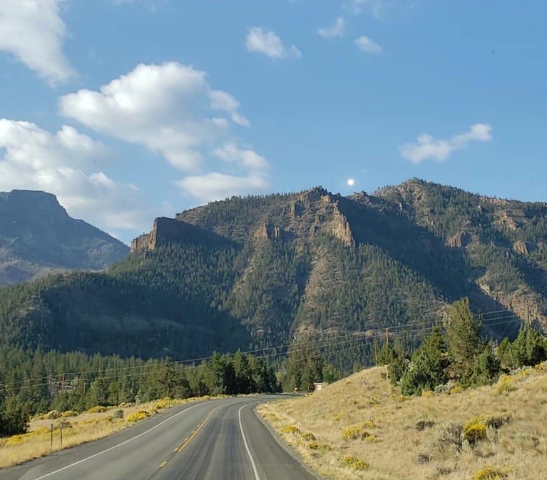
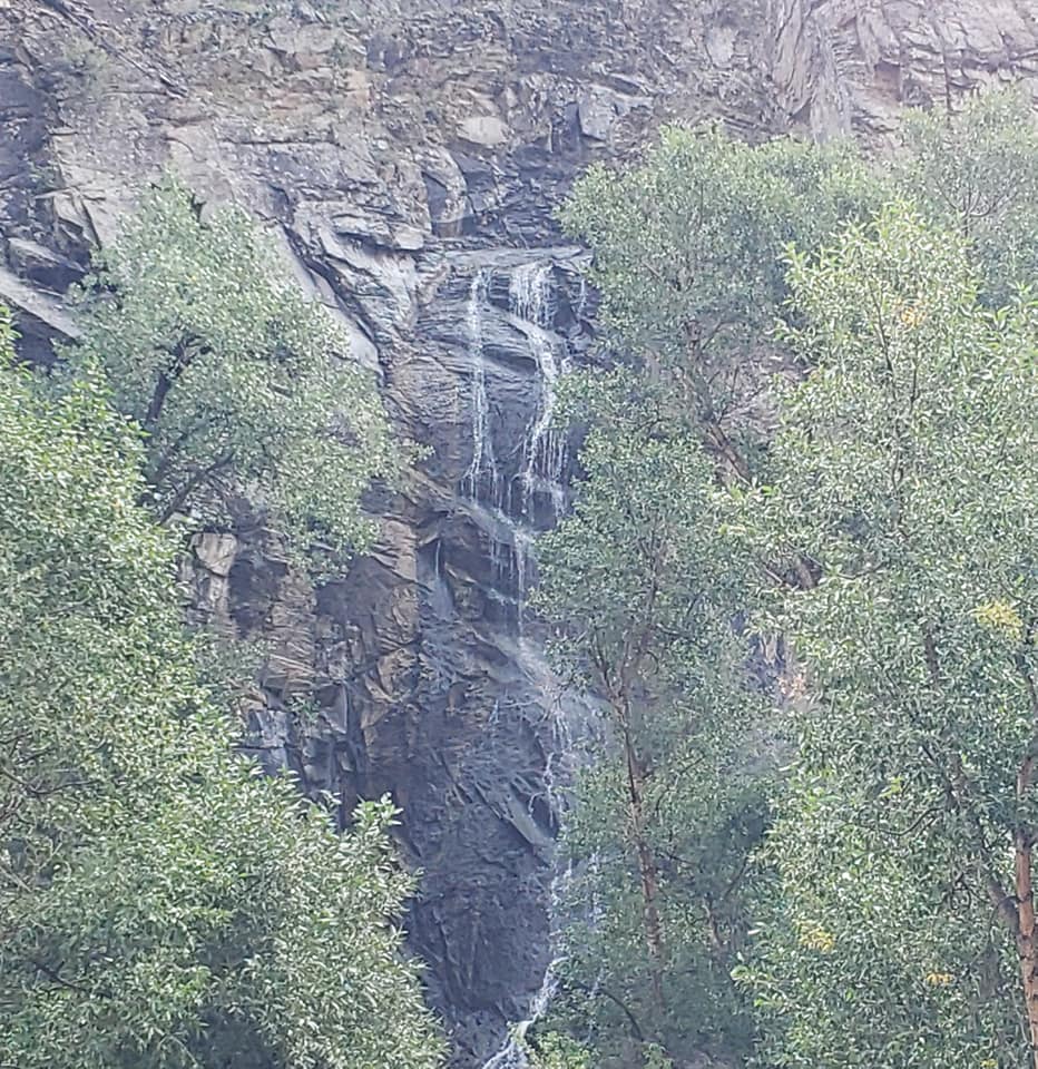
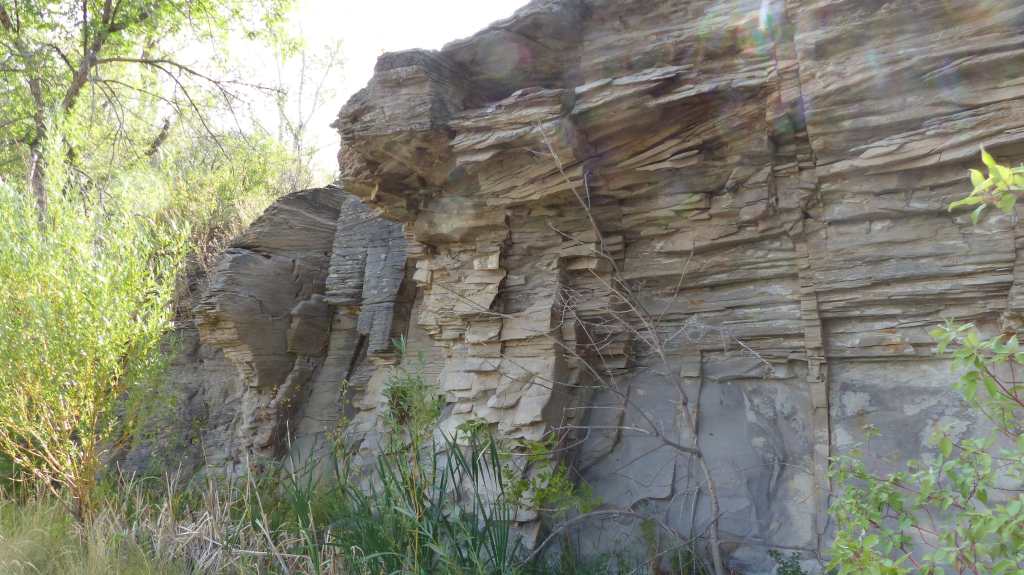
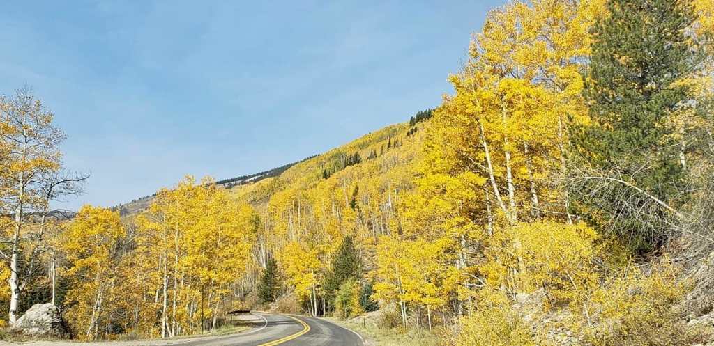
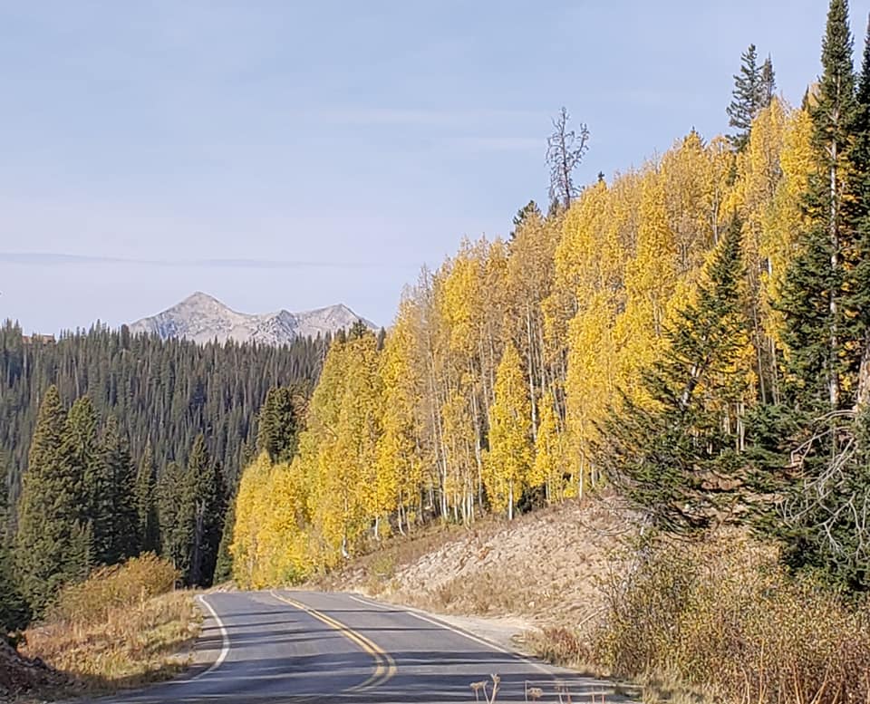
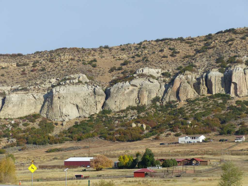
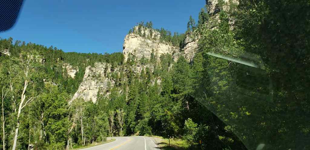
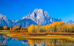
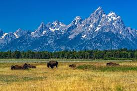
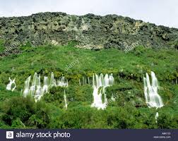
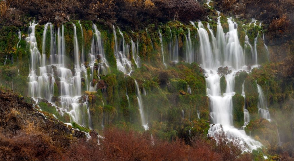
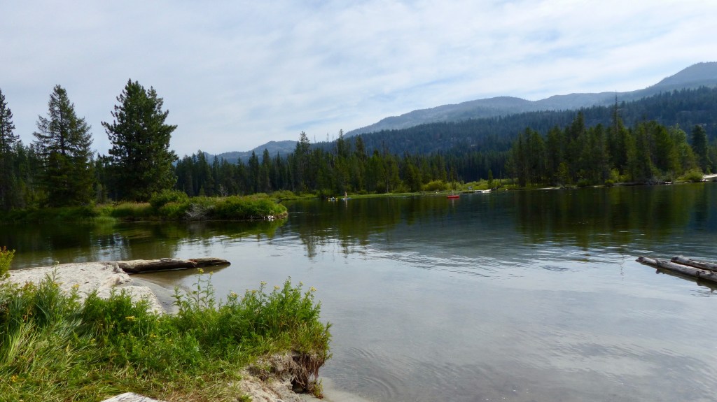
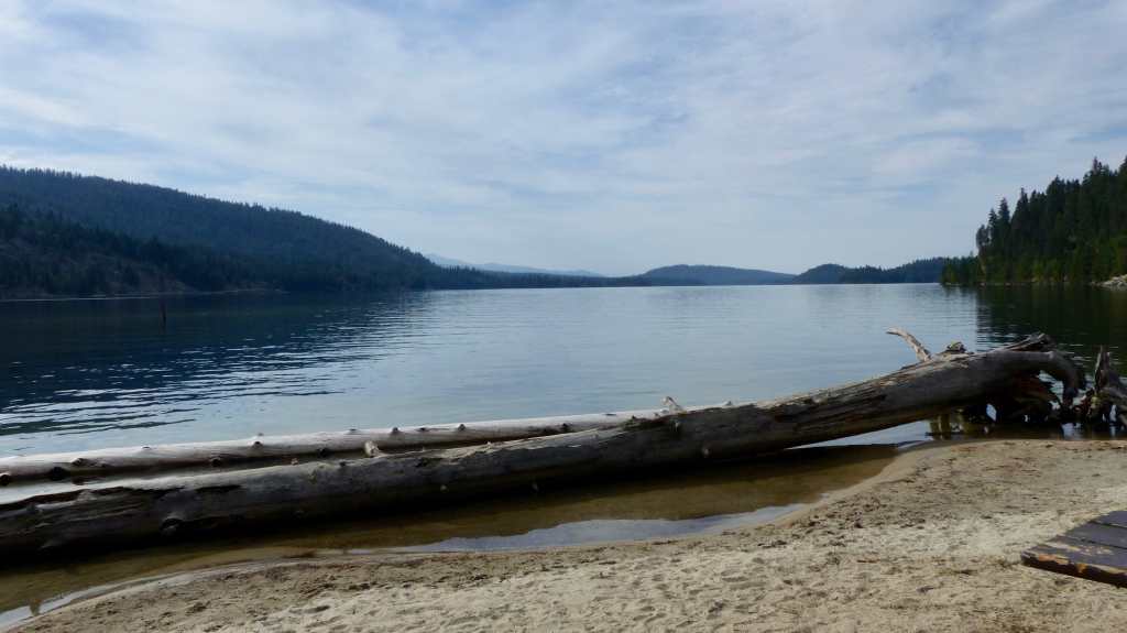
We’ve only made two day pilgrimages since we arrived. We went on an 80 mile round trip to Panther Creek Falls, Big Lava Bed, beautiful Goose Lake, then to the tiny town of Trout Lake. The majority of that trip is on 20 mph paved or gravel roads so it’s a slog. Views of majestic Mount Adams just adds to the beauty of this loop.

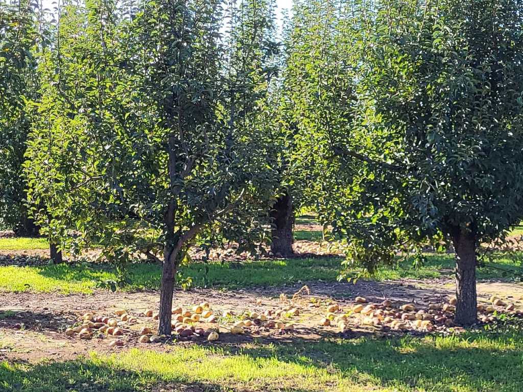
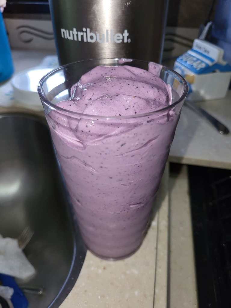
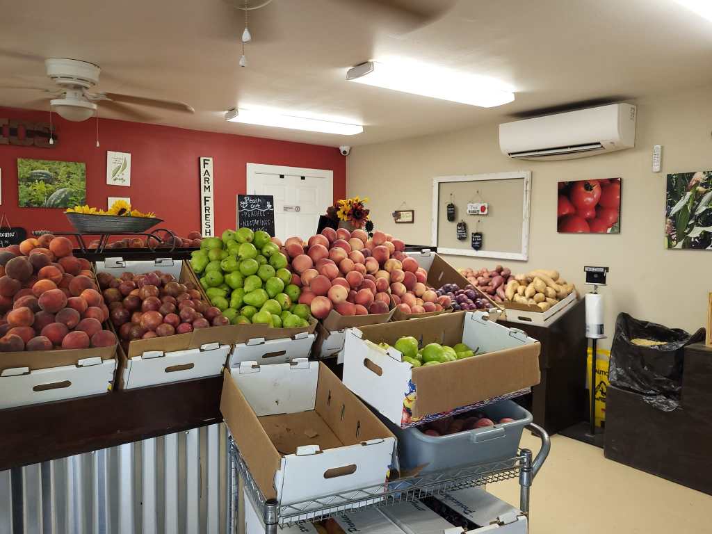
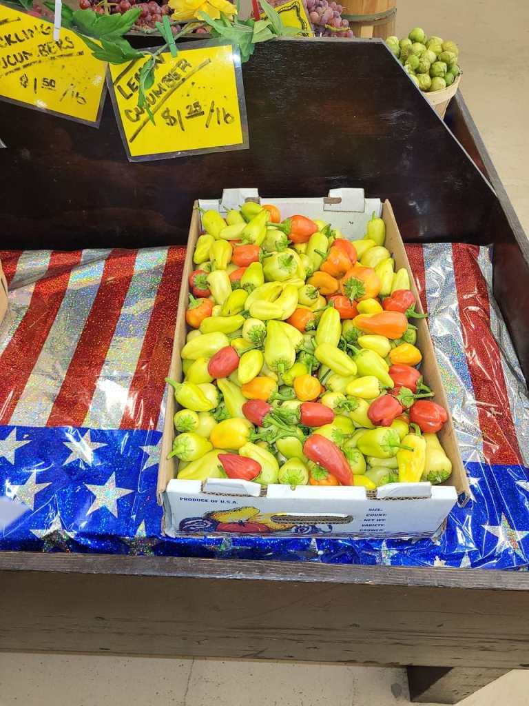
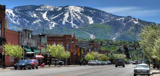
The second trip was to one of our favorites- the Fruit Loop. Yep, the Fruit Loop is the name of a 35 mile long route through the drop dead gorgeous Hood River Valley. The valley is a real beauty with woods interspersed between apple and pear farms, alpaca ranches and an occasional grape vineyard. There are 27 on-the-farm fruit stands, wineries, cideries and breweries and even fields of flowers that line the loop. The first fruit trees were planted in 1855 resulting in 14,500 acres of pears, apples and cherries the cover the valley today. Our favorite stop is The Apple Valley Country Store which offers wonderful jams and other preserves and now offers bake your own frozen pies. Jil ordered a delicious pumpkin shake and Mike an olallieberry pocket pie. Yum!! The valley is located on the eastern shoulder of the mighty Mount Hood can be seen from many locations.
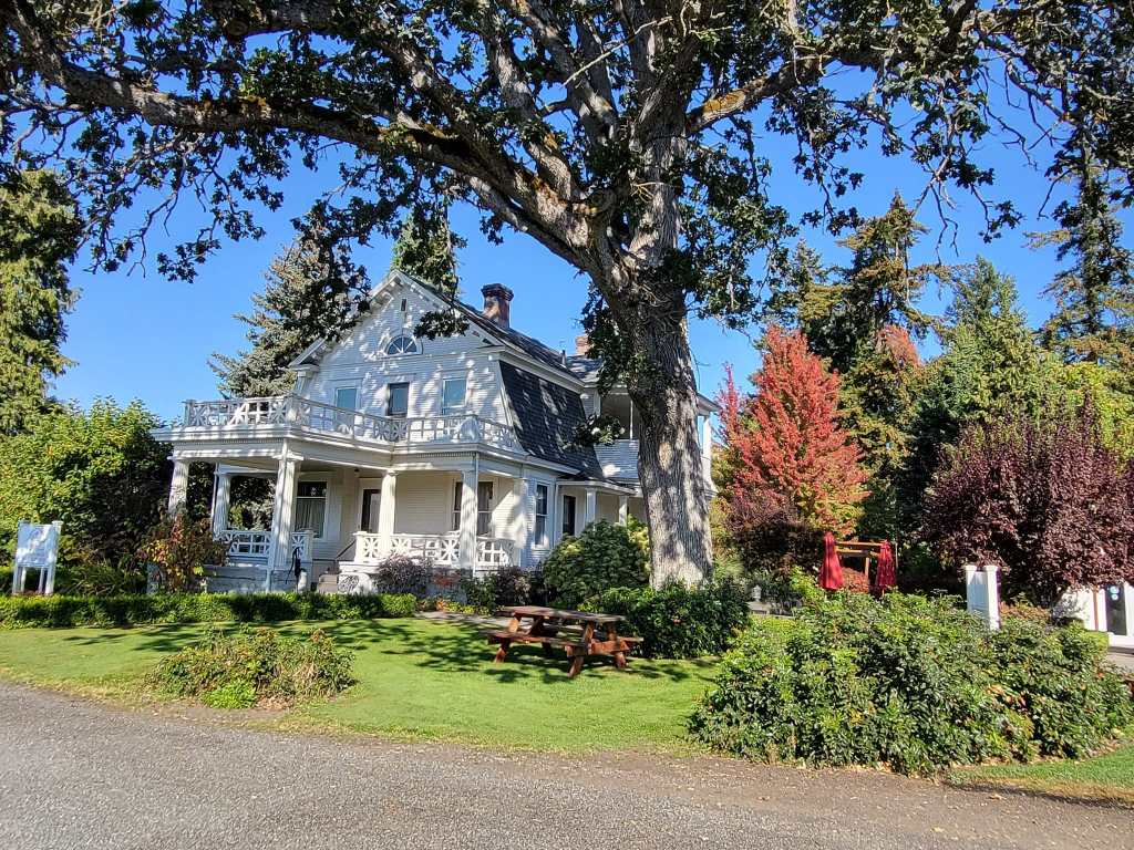
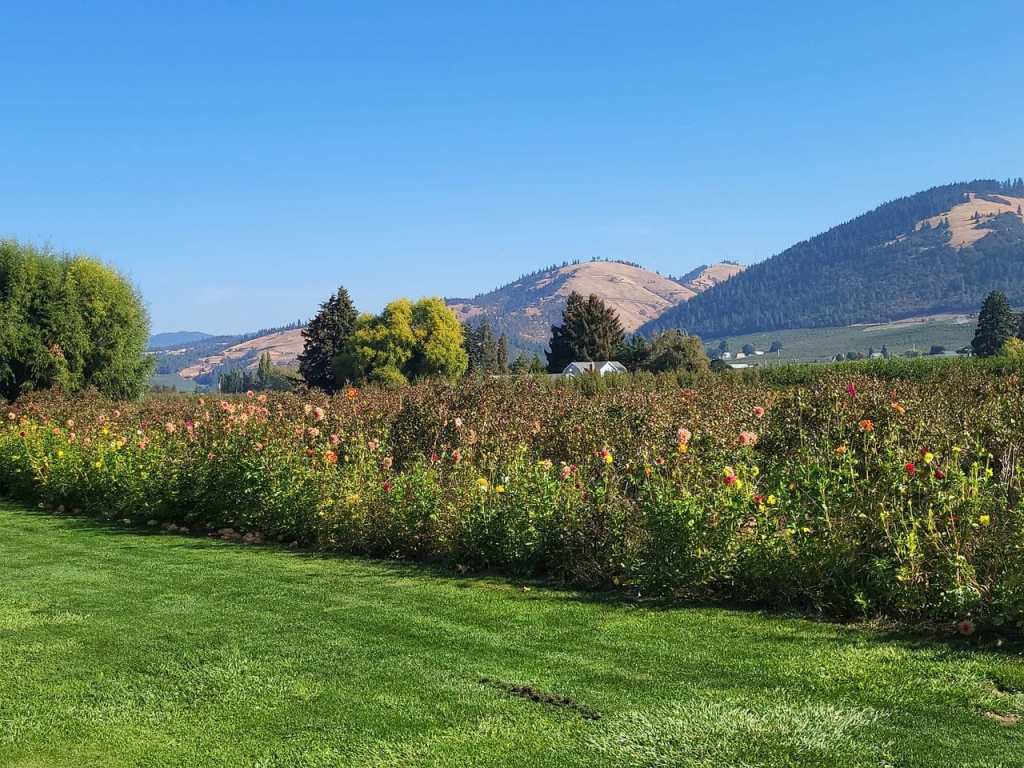


Another great stop is the Gorge White House Farm. It grows apples and pears as well as a few acres of you pick flowers, a wine tasting room and a grill for those with an appetite.
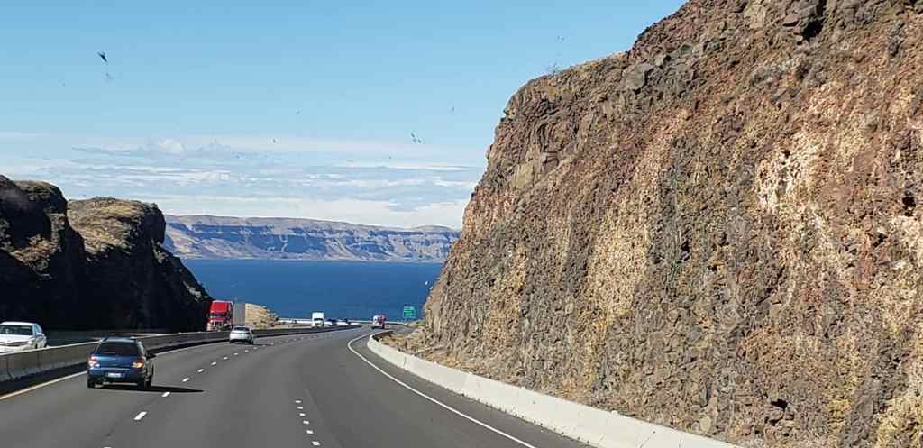
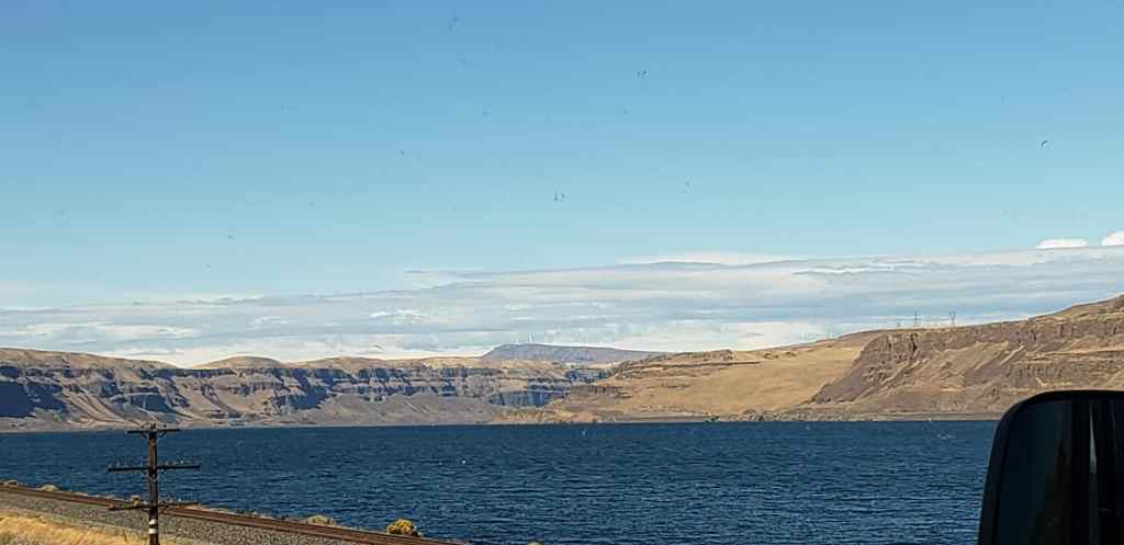
So that’s what we’ve been up to in a nutshell- a rather large nutshell at that. I think our next post will concentrate more on the sights of the Columbia Gorge.
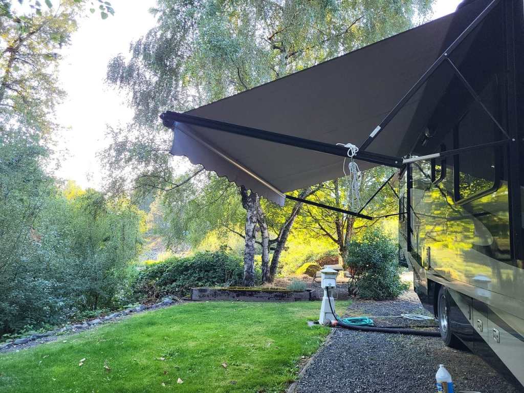
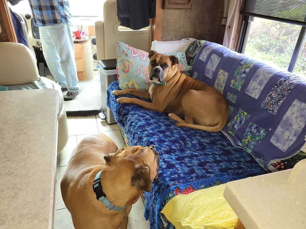
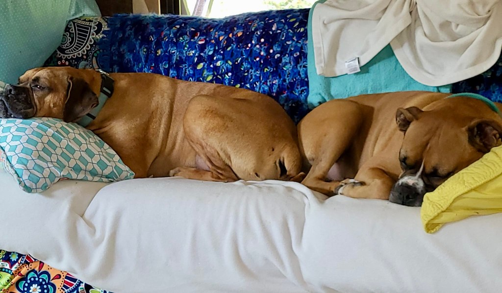
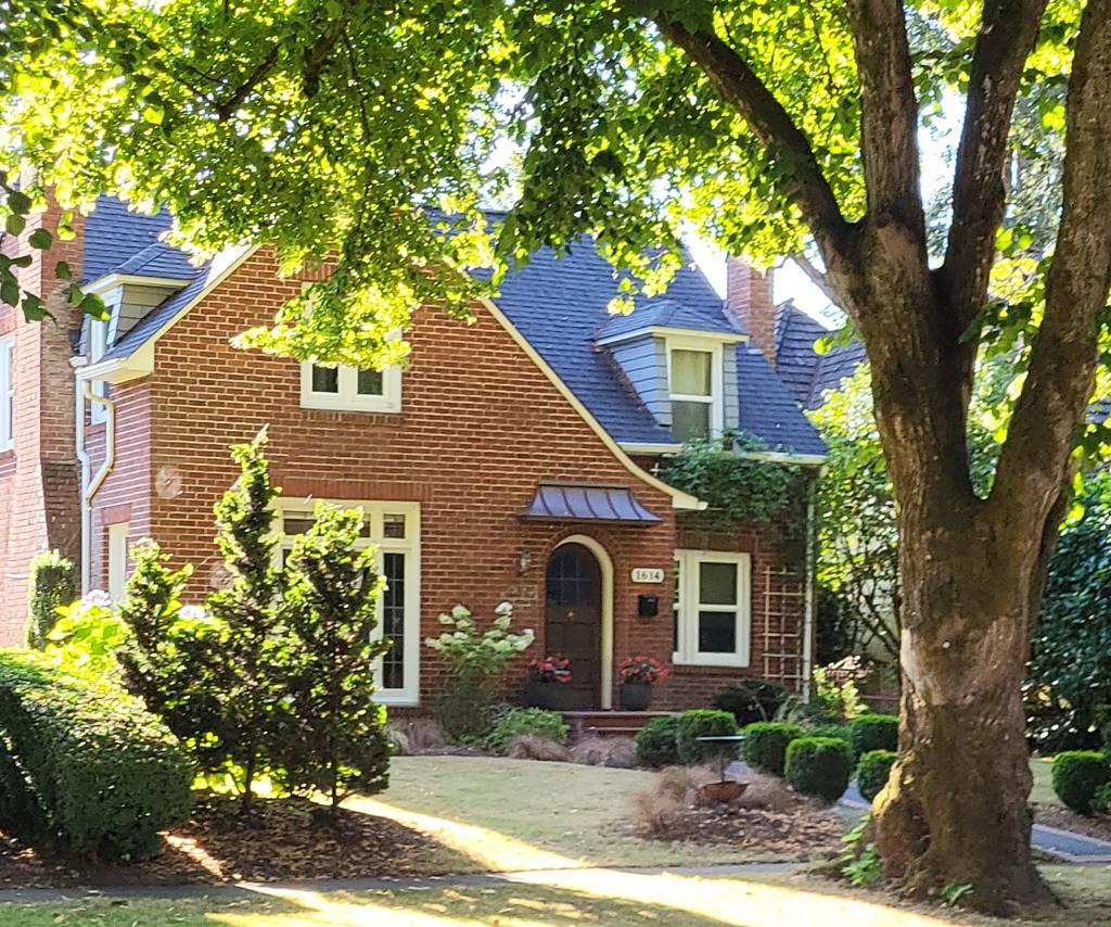
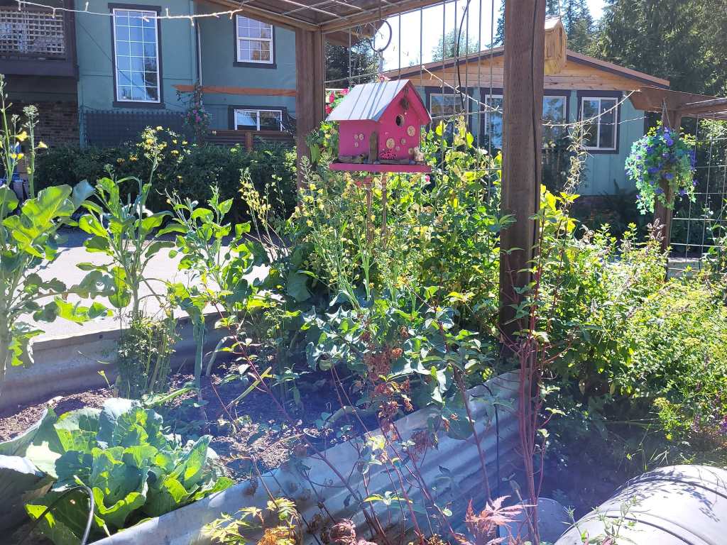
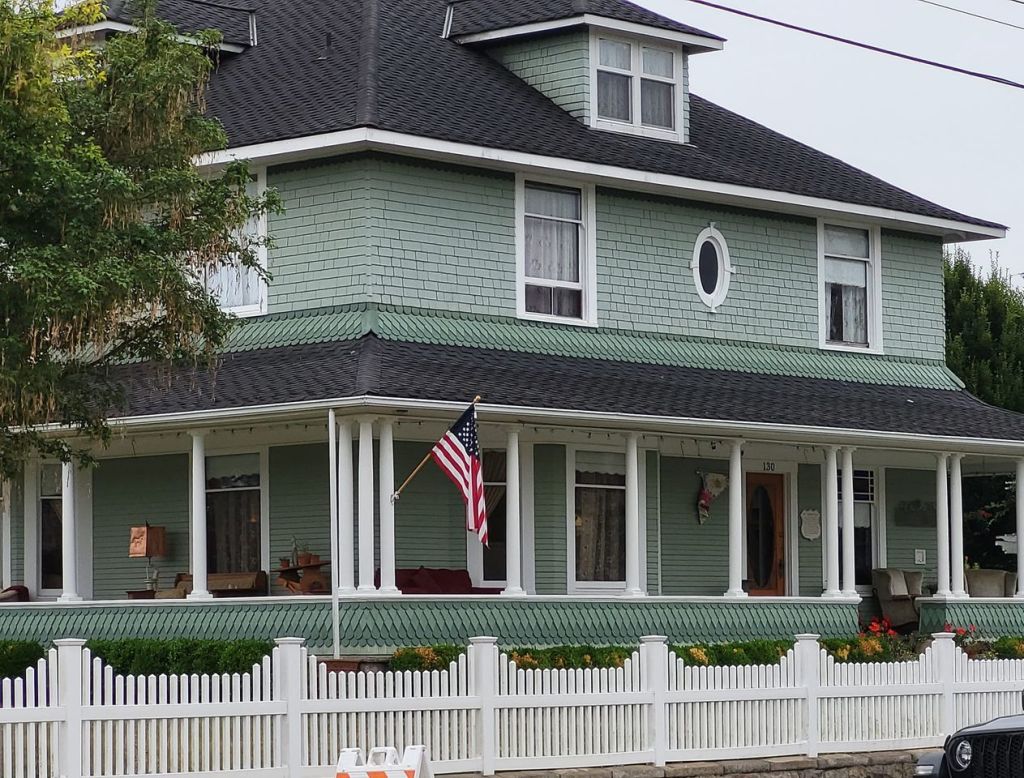
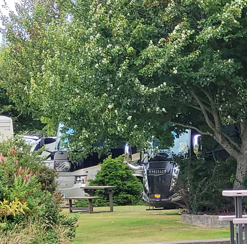
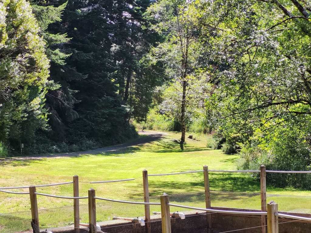
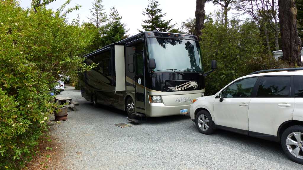
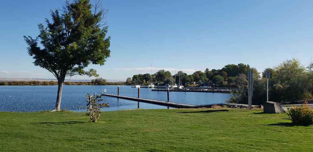
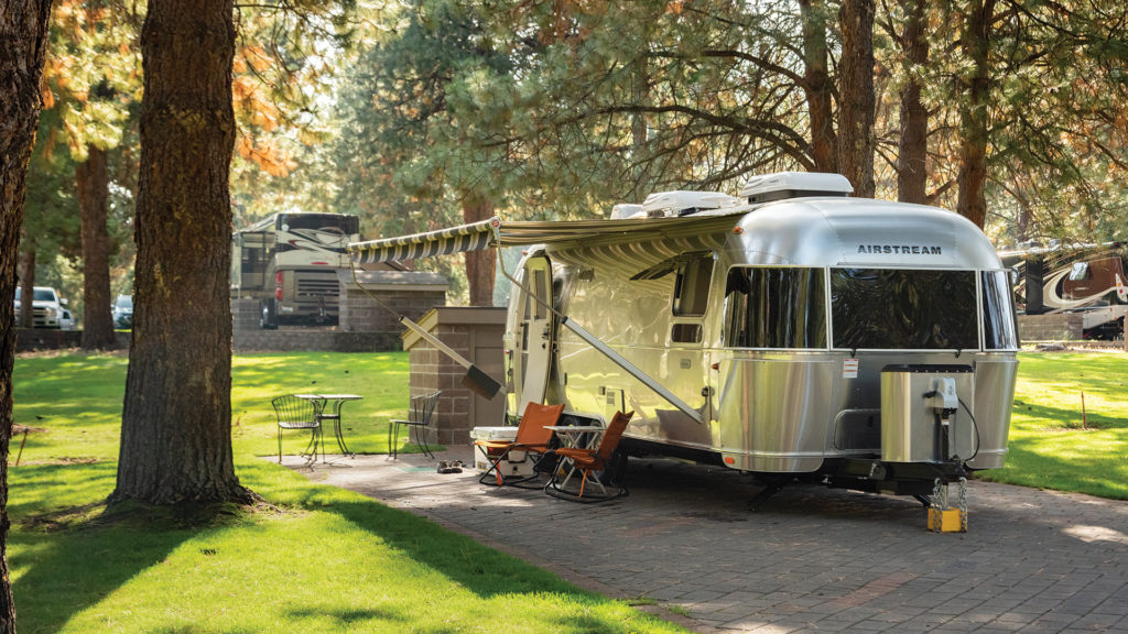
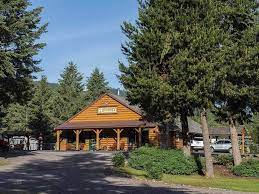
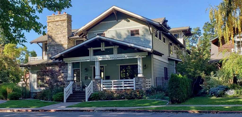
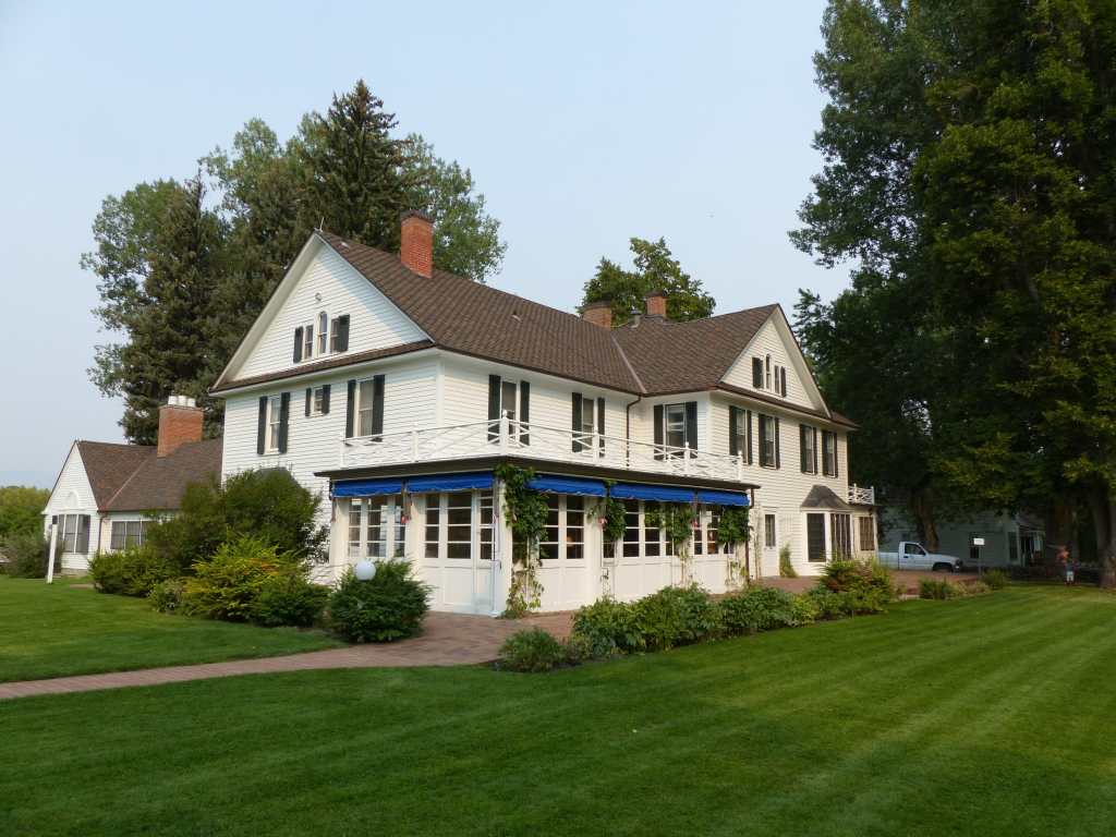
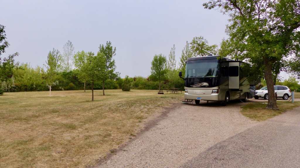
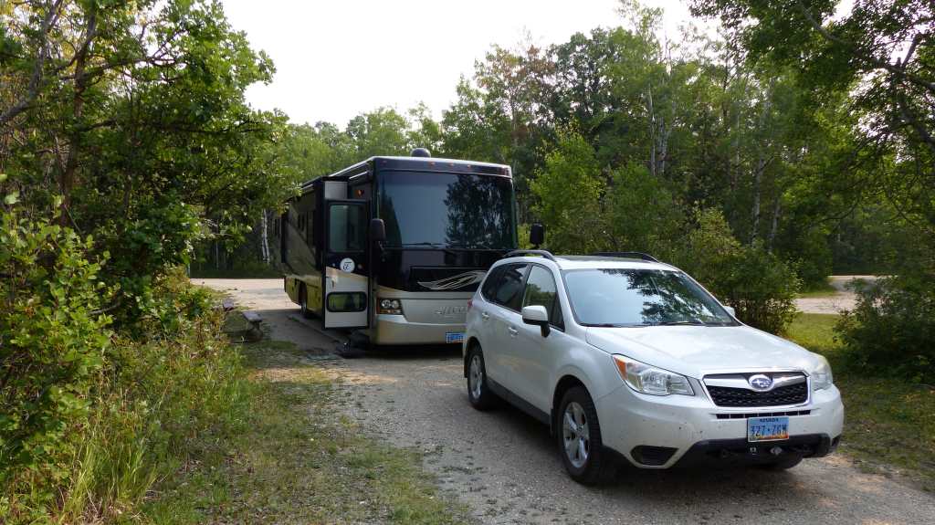
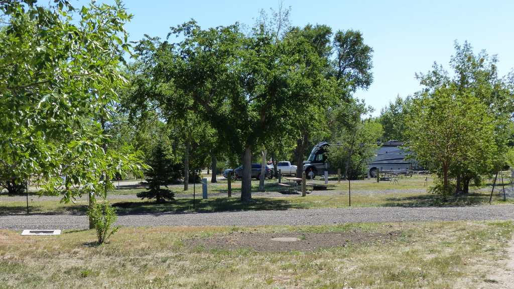
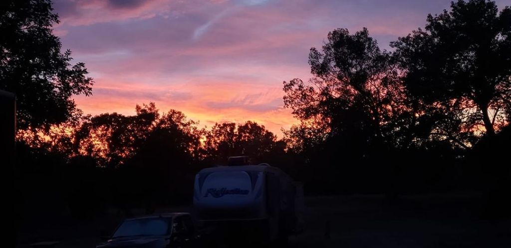
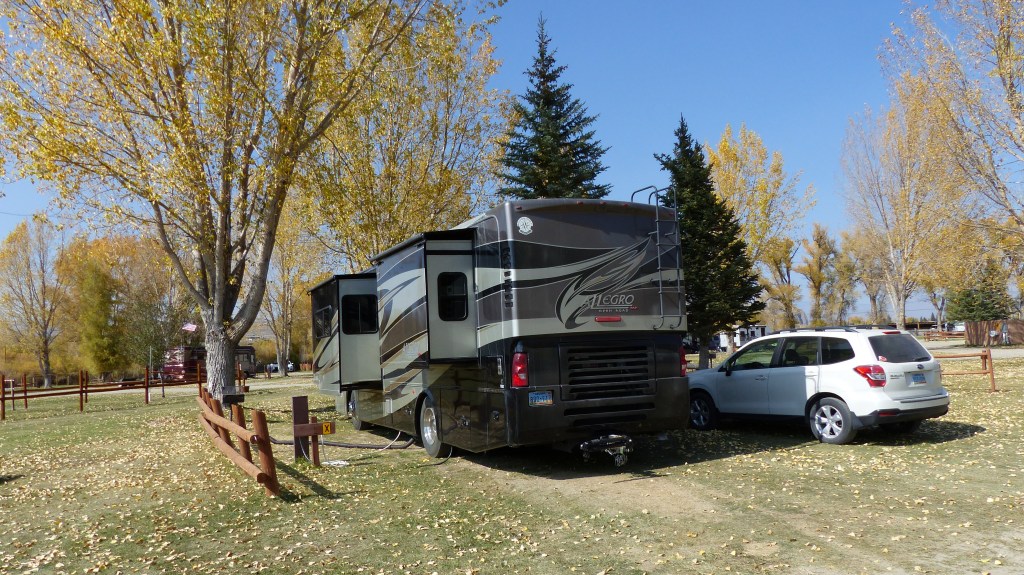
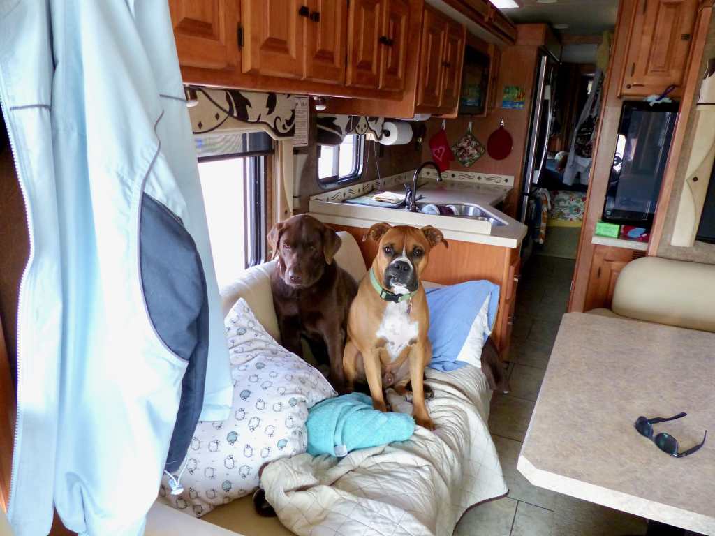
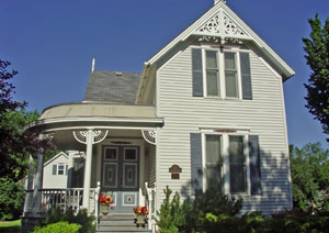
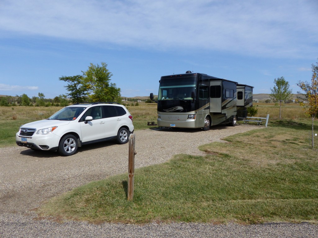
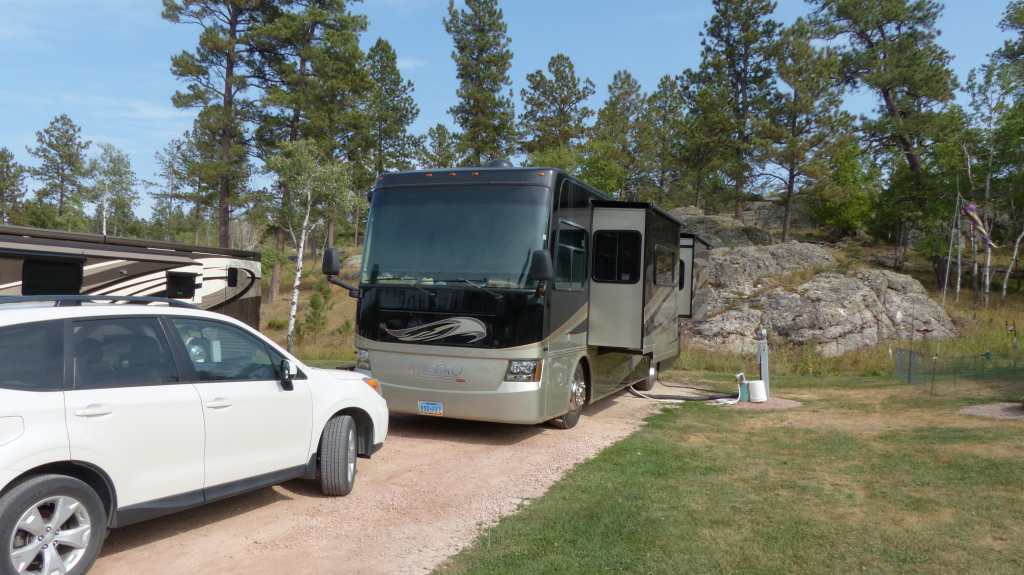
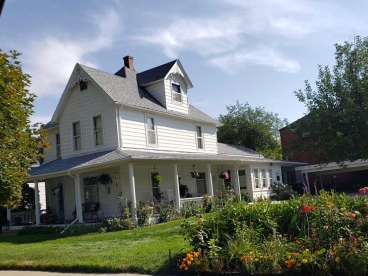
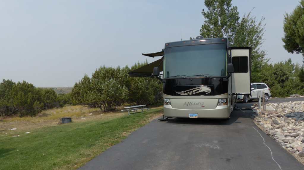
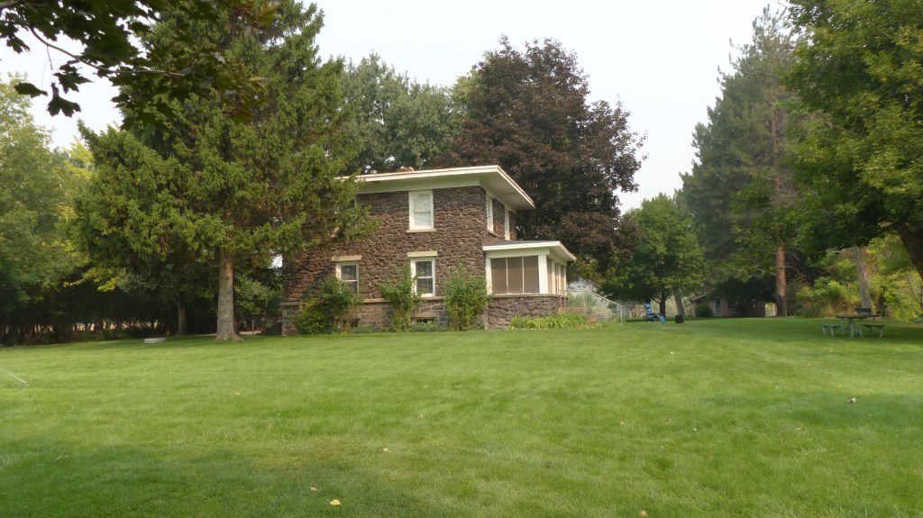
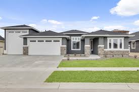
Home Sweet Home


