Tuesday, October 3- Trip Day 60
I’ve no clue as to why the Dundee designation for Evergreen RV Park as it’s located a quarter mile from the village of Mt. Eaton. This park is really nice. Whoever designed this park was an RV’er! Nice large sites are located on a hill. Some leveling is needed front to back but side to side is pretty level.

Huge grass dog run with a corn field behind our rig.
Grass grows between sites. Picnic tables and fire rings at every site. The office has a lot of RV supplies, a few staples and some gifts. The attached laundry room is huge with 20 washing machines and 20 dryers. There’s a large grassy field towards the rear- the dog walk. It’s got to be at least 5 acres in size. At the edge of the grassy field is a corn field, and to the east is a horse and donkey farm.

The beautiful rolling hills and an extension of the dreaded (by Megan) fence!
Ah, the horse farm…….. we walked Megan this evening along the fence line. The horses that were in view earlier were no longer there. Megan stuck her nose down along the fence, yelped and started hauling arse away from that fence! Gosh, we hadn’t seen the electric wire between ground level and about a foot up! We didn’t know what had happened until we spotted the “wire”. I don’t know why that hot wire was mounted down so low other than to keep smaller animals out of the pasture. Megan’s had a few “Megan moments” lately. She didn’t like the ferry ride to Mackinac Island, she hated the ferry ride to Put-In-Bay, she deplored the golf cart ride at the same place. Now she get she gets zapped at our current location……….. no pun intended on the “current”.
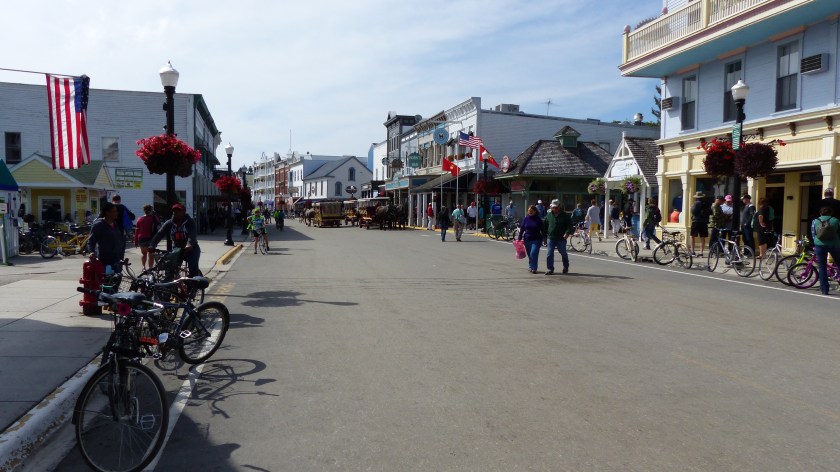
We’ve literally driven over hill and dale admiring this beautiful portion of Ohio. We’ve gone to Brewster (2100 souls), Beach City, Dundee, Sugar Creek, Walnut Creek, Berlin, Mt. Hope, Winesburg, Wilmot, and of course Mt. Eaton. Most of these towns are not touristy, which we loved, with the exceptions of Walnut Creek, Berlin and Sugar Creek.
Brewster is the location of the corporate headquarters and shops of the Wheeling and Lake Erie Railway, both the historic company and the current regional railroad. The WLE began producing locomotives at its Brewster shops in 1910, and boasted one of the finest steam locomotive producing facilities in the country. It’s also the headquarters for the largest swiss cheese plant in the U.S.
We didn’t expect to see this beautiful Amish Door Inn, Wilmot
We drove through Beach City (pop. 1000) and the village of Dundee, then stopped in Sugar Creek (2100 souls). Sugar Creek is known as the “Little Switzerland of Ohio”. A local fella thought it would be for good tourism to recreate the architecture of a Swiss village on the town’s buildings. I guess he was right as we just missed the Swiss Festival by a week. My mom was born in Switzerland so I was curious. The town is cute. Nevertheless it’s a tourist trap with little to do with the country it represents. It does have one of the world’s largest cuckoo clocks however.
Downtown Sugar Creek
We drove a short distance (seem’s like all towns are just a short distance apart) to Walnut Creek. Holy Smokes, we found the motherload- of tourism! Big Big shopping centers that cater to tourists, a huge farm that does the same.
We drive past those places and enter the village. What the……. there is no downtown to speak of, just a restaurant that serves Amish style food family style. We continue on to the Yoder’s Amish Home. It’s another place that caters to visitors but is different. Hardly any visitors are here. There is a farm tour, a house tour and a parochial school tour. We learned a lot about the Amish way of life taking the school tour.
We visited Kidron this morning. Kidron was founded in 1819 by Swiss Mennonites who wished to escape persecution and poor farming conditions in their homeland. They were referred to as “Die Stillen im Lande”- the quiet people in the country”.
From vintage hand tools, to wood burning stoves to a gasoline powered
clothes washer to an $8100 modern electric replica stove!
We heard about a huge hardware store located there, one that caters to the likes of the Amish. Lehman’s Hardware is huge. At least 4 buildings have been incorporated into just one. The store displays many items of farm life from the past and some from the present. It has a huge store of kerosene type lamps, health items, soaps, candy, kids toys, a food court, interior design items……….. and a couple of small sections dedicated to some actual items that one would find in a hardware store. Another tourist trap……. but interesting due to all the antique farm items and retro kitchen appliances on display.
Wood Carvings by Paul Weaver
Also on display at Lehman’s are several wood carvings by an Amish furniture maker by the name of Paul Weaver. As of this date he doesn’t carve for profit, just pleasure. He laminates butternut wood to a maximum of 7″ of depth then starts carving that big block of wood. He doesn’t consider himself an artist. I hope he reconsiders as his work is wonderful.
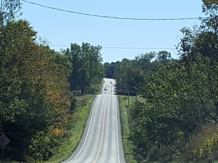
So we type in “Berlin, OH” into the truck’s onboard navigator. It takes us over hill and dale right through the heart of Amish farms. The road is narrow and not unlike a roller coaster heading up and down some pretty steep hills. One has to be careful cresting these limited visibility hills so as not to run smack dab into a slow-er moving horse and buggy. Slower but not slow- I clocked a couple of those black buggies at 15 mph. But there are slower horse drawn implements that use these country roads….. like a four horse team drawing a hay baler! We had to reroute once due to a road closure, then to Berlin.

Berlin is another touristy town. We are not interested in walking the streets here nor going into the shops, but we did find a big park to let Megan run.
Amish and Mennonite clothing is easily distinguishable from English- us non Amish or Mennonites. Here’s how to do it:
Conservative Mennonites:

Wear prints (solids considered to be fancy), wear cape dresses that button up the back, head coverings are small, often transparent. Little girls don’t wear head coverings until school age and wear their hair in long braids. No wedding bands allowed. Women rarely go barefoot. Men are clean shaven or neatly trimmed beards with or without mustaches. Men wear store bought clothes and button up shirts.
Amish:

Women wear solid color clothes (consider prints to be fancy), wear cape dresses that fasten in the front, head coverings are larger (solid white or black) and are tied under the chin. Little girls wear their hair up. Girls wear black caps until married then wear white. No jewelry of any kind is worn. Both men and women love to go barefoot- some communities will be dressed up in their Sunday best yet go to the meeting barefoot. Men wear beards when they get married and may wear store-bought solid color button up shirts. Shirts may be homemade but pants are all homemade broadfall pants. They are more likely to work off of the farm.
So we’ve found that the Amish and Mennonites are anabaptists (adult baptism). The Amish are offshoots from a larger group that split off in the late 1600’s as a reaction to what one faction saw as liberalized trends. Both believe in values of non- resistance and in some cases plain clothing. Old Order Mennonites or closest to the Amish culturally and also rely on horse and buggy for transportation. They both maintain small labor intensive farms although Amish are more likely to work off of the farm. They both practice social shunning.
The Yoder Name is Everywhere!
The differences come in technology. Old Order Mennonites now allow electricity in the home as well as telephones. They make greater use of tractors as well. Old Order Mennonites worship in meetinghouses while Amish have retained home worship. An offshoot of Amish are the Beachy Amish, a group more like Mennonites as they accept certain technologies, notably the car and computer. “Modern” Mennonites wear modern dress, accept cars, use of the internet and to on to higher education.
So there it is, our visit to Amish country is complete. Tomorrow we will be back on the road.


![Mill workers still without contract [JUMP]](https://travelwithjilnmike.com/wp-content/uploads/2018/09/10-18_c5_paper_workers_negotiations-1024x6811.jpg?w=686&h=457)


![minnesota_003[6]](https://i0.wp.com/travelwithjilnmike.com/wp-content/uploads/2018/08/minnesota_0036.jpg?w=605&h=404&ssl=1 "minnesota_003[6]")
 Thursday, August 30, 2018


 Wednesday, August 24, 2018


")


")


 Even The Trash Is Collected By Horse Drawn Wagons


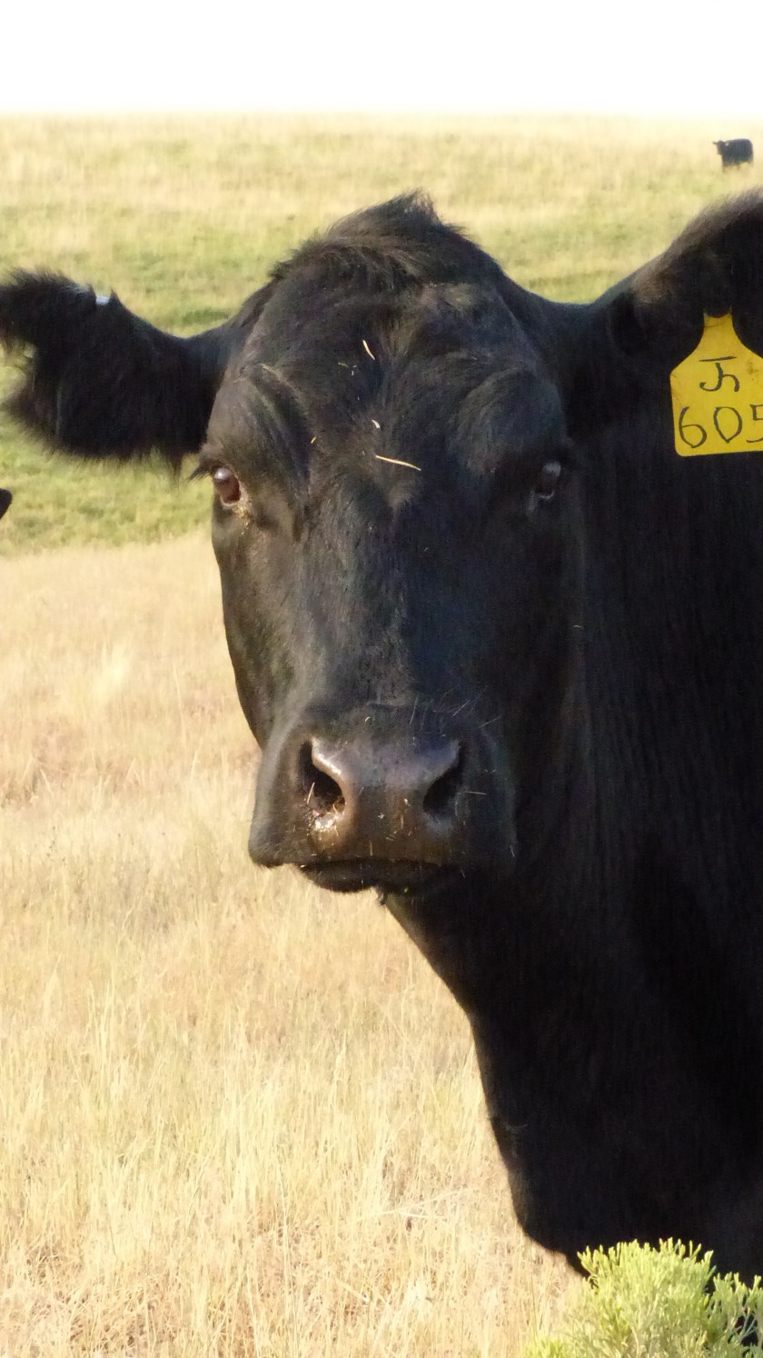
 Yesterday we traveled 115 miles to Buffalo River State Park. We are now in our second new to us state- Minnesota. As we cruised east the hills got a little smaller and the northern plains became more evident. Again we see large fields of crops, a checkerboard of corn, sunflowers, maybe some wheat and alfalfa. We travel quite a distance without seeing cows, then spot one that had gotten past the barbed wire fencing and was laying on the side of the road. We are used to seeing raccoons, deer, even porcupines and armadillos in the South but hardly ever cows.


 August 22, 2017- Travel Day #19


 When approaching Hebron we see a sign. “Fort Sourkraut Next Exit”. Fort Saurkraut? Ya gotta be kiddin’ me. No, they are serious. Fort Saurkraut was raised in three days by settlers interested in saving their hides from Indian attack. The fort was built out of sod with (stolen) railroad ties for roof support. It was then surrounded by barbed wire in the hopes that it would deter the rumored attack. The Indians never planned on attacking the settlement, the attack never came. Fort Saurkraut (so ya think there were a lot of Germans in this town?) is the only sod fort ever built in North Dakota. The fort was recreated a few years ago by dedicated farmers in the hope that “If we build it, they will come”. I don’t know how that worked out for them………


 August 19, 2017- Trip Day #17


 Conrad Kohrs opened a butcher shop. Grant build a 4000 square foot house in 1862 and 5000 square feet was added to that home by Kohrs in 1890. Augusta Kohrs salvaged the bug ridden house in a “war of extermination”. Over time she acquired the finest things in life, luxurious furnishings, Pershian rugs, the finest china.
  The ranch house is open to the public as are the grounds. When we visited a volunteer fella had a chuck wagon on display and offered us cowboy coffee he had made over the campfire. A blacksmith was busy making andirons in the blacksmith shop. And Miles, a volunteer cowboy was mounted on Fox, a quarter horse who lives on the ranch. We enjoyed the information that the knowledgeable volunteers and Rangers shared, and the ranch is beautiful.
")


 We also say goodbye to Idaho at that point and enter Montana. The road on the east side of Lolo pass is much smoother, wider and a more gentle slope as it follows Lolo Creek down towards the town of Lolo. We pass numerous ranches and more than a few fire camps and fire drop points. We meet momma moose standing on one side of the highway looking towards the other. She’s waiting for her baby. The few motorists stop and wait for baby to catch up. Then they disappear into the woods. We are still on the path that Lewis and Clark took in 1805 but I think we have it much easier than they. No paved roads for them and no gigantor home on wheels either!


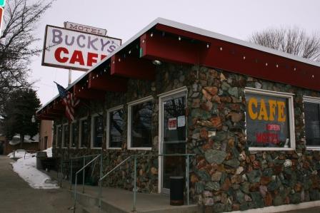
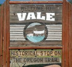
 We left McCall and headed northwest on Highway 55. We’ve been on Mountain Time since we left Vale, Oregon. We assumed that once in the more eastern state of Idaho that we would stay in the Pacific Time Zone. Whoa, cowboy! Not so fast there pardner! We now know it’s true that the southern part of Idaho is in the Mountain Time Zone, the northern Idaho is in Pacific Time. So as we turn on highway 95 and head north towards Riggins, a town of 420 souls, we are still on Mountain time.
 North of Riggins, right across the Salmon River Bridge we are back in the Pacific time zone! What the hey! So begins the strange time……zone!
 Riggins is nestled deep in a canyon at the confluence of the Salmon and Little Salmon Rivers at 1800′ in elevation. As Riggins is the northwestern most town in the Mountain time zone, US-95 is the only highway for the state that connects the panhandle to the south. The town claims to be Idaho’s Whitewater Capital and well it could be. Rafting, kayaking are very popular as are fishing and hunting. The Seven Devil’s Mountains and Hell’s Canyon National Recreation area close by.
 Before climbing out of the canyon we pass White Bird. The town of 91 folks is named after the Nez Perce chief that lead his people to the first fight and a significant defeat of the U.S. Army in 1877.
  The entire area is like traveling through an American history museum. Signage is mostly dedicated to the Nez Perce people, how they lived and how the U.S. tried to remove them from their homeland so that the west could be settled by emigrants, miners and others. It’s interesting to note that before the army, the settlers and the miners made their presence the Native Americans and fur trappers and traders got along well together.
 US-95 climbs the 2100 vertical feet out of Salmon Canyon onto the Camas Prairie. Native Americans coveted the camas plant root as food.

 The Nez Perce depended on the root for sustenance. The women would dig up the camas bulbs using elkhorn tied to wood digging sticks. After being cleaned the bulbs were piled on a bed of grass on hot stones and place over a fire pit and steamed. Once cooked they were dried. The extensive cooking broke down a good portion of the starch content to sugar, producing a sweet potato- like flavor. The story goes when the Corp of Discovery, i.e., Lewis and Clark Expedition arrived gaunt and starving, the Nez Perce offered them camas root to eat. The root didn’t agree with the guts of most of the men and caused them a lot of grief for an extended period of time.


 Morning at the ranch