Our adventure for 2022 starts off leaving our home in Reno Nevada on Sunday, July 31. Heading west on I-80 we soon climb the eastern slope of the Sierra Nevada Range. We chose to leave the interstate as soon as practical and take country roads as much as possible. After cresting Donner Summit, elevation 7239′ we drop down on the western slope of these majestic mountains. We exit at CA 20 and head towards Nevada City and Grass Valley, CA.
Nevada City
Nevada City (3140 souls) and Grass Valley (12,000 souls) are old gold mining towns, established during the 1849 gold rush days. Nevada City was California’s most important mining town. Grass Valley had three long lasting mines spanning the years 1868 until WWII. The Empire and the North Star Mines were two of California’s richest. Both towns retain the flavor of their rich past.
Grass Valley
We have been to both towns several times so we continue on CA 20. Our first day’s destination is Yuba Sutter Fairground in Yuba City, a drive of 120 miles. We continue down to lower elevations where pine forests transition to oak and grass country. As we reach the Sacramento Valley floor we are greeted by vast farmland, with farmers growing rice and row crops. We reach Marysville (12,000 souls) and the seat of Yuba County, then cross the Yuba River and immediately enter Yuba City (70,117 souls), the seat of Sutter County. Yuba, by the way, is a variant spelling of the Spanish word uva (grape) as wild grapes were known to grow by the river.
We have campground to ourselves
Our first evening is spent at the Sutter Yuba Fairground campground. As luck would have it we are the only paying campers with about a half dozen host trailers set a few hundred yards away. The campground only offers power at each site. We park on grass under a large tree which offer us some shade. The day is overcast which takes a lot of the heat of summer out of the air. The fairgrounds are lovely and we have them all to ourselves.
Art at the FairgroundsRipening Peaches
The only problem we ran into was how to enter the fairgrounds. Being a Sunday there was no one in the office, no one we could call, so we took a sophisticated guess and found our way. As we are settling in a campground host drove up and asked if we had reservations. Of course! Our stay at the fairgrounds was lovely and we’d do it again!
Monday morning we depart fairly late for us figuring our travel distance of 163 miles won’t hardly take any time at all. Packing up took no time at all and we depart at approximately 0915 hours again joining CA 20 for our trip to the coast.
We transverse the Sacramento valley where at the very western edge we stop at a fruit stand to purchase very fresh cherries, plumes and even a bag of pistachios. The road then takes us into the Inner Coast Range that runs north/south..
Clear Lake, CA
The road is fairly narrow winding through canyons, then over a summit into the next canyon, then onto the shoulder of a mountain. We pass the very large Clear Lake, a natural fresh water lake in Lake County, again following the winding 35 mph CA 20. It is the largest natural fresh water lake wholly within California with a surface area of 68 square miles and measures 8 by 19 miles. At 2.5 million years it is the oldest lake in North America. Being a warm water lake large populations of bass, crappie, bluegill, carp and catfish flourish.
Lake Level is way down!No Water at the Boat Ramp!Only a puddle at boat dock
We finally pass the lake along with its 35 mph speed limit only to come upon a Native American Rancheria- speed limit 40 mph. Gads, we’ll never get to Fort Bragg at this rate! We finally arrive where US 101 and CA 20 converge and have a four lane highway with posted speed limit of 65 mph. We cruise at the Kali-Fornia max for vehicle towing- 55 mph, a whole 14 miles to Willits (5000 souls) where again we head west on a two lane, winding CA20 towards Fort Bragg.
Willits is known as the Gateway to the Redwoods. An arch stands at the center of town which features the slogan “Gateway to the Redwoods”. The arch is the repurposed version of the Reno Arch. The town has an interesting past. A feud between the Frost family (Confederacy supporters) and the Coates family (Union supporters) during the Civil War developed into a brawl, then a shootout leaving 3 members of the Coates family dead and 1 member of the Frost family dead. An interesting side is the racehorse Seabiscuit trained, lived out his retirement and is buried a few miles south of the city. And then there was the Triple Masonic Lynching of 1879. More recently heavy metal pollution created by a metal plating plant and resulting lawsuit and cleanup was spearheaded by none other than Erin Brokovich. Water wells were treated and damages paid to those affected.
CA 20 west of Willits takes us into the coastal redwood forest. It’s a beautiful drive but taxing for all of us. The road snakes along the shoulders of mountains and hills and is never straight until near the ocean. I’m tired of cranking the steering wheel and Jil is tired from just watching me! Speed limit is 55 mph but I very seldom approach 35 mph in the motorhome as a 25 mph bend in the road is just a few hundred yards ahead. But I tell you, the drive is very beautiful!
We finally reach the ocean, drive a mile or two along the coast to Pomo RV Park and Campground. We’ll be here for a few days of R&R and exploration. Until next time!
Thursday, September 30 through Tuesday, October 5, 2021
Jil and are home. As I write this last blog entry I am once again in awe of our beautiful location in Reno. The leaves are in full fall color and the Carson Range and Sierra Nevada has received two early season snowstorms. Even downtown Reno has received some of the white stuff!
Is this beautiful??? Or What?
We left Walla Walla via US 12 towards the Columbia River, then southwest on US 730 where it ties into Interstate 84. We stop in Boardman (3200 souls) to stretch at the great park located on the bank of the mighty Columbia River and to fuel the beast. Diesel is as much as $1.50 a gallon more than last year. Ouch! Ollie likes roaming the nice green grass of the park and staring at the waterfowl floating in the little bay. The only other soul in the park is a maintenance fella and his utility vehicle.
Boardman Park
Plans to visit long time friends Jim and Connie are still on yet abbreviated due to the mechanical problem we had with the motorhome. Jim and Connie bought an acre of land and are in the process of building a big metal shed which will eventually have room for their motorhome and a whole bunch of other necessities. We told them that we’d like help for a day or so before we turn towards home. We were warned by Jim and Connie that the Dalles Bridge that connects The Dalles, OR to Dallesport, WA over the Columbia River is being strengthened and modernized and is not open to traffic Thursday night through Sunday with delays when it is open.
US 97 Bridge at Biggs Junction
We chose to cross the Columbia at Biggs Junction on US 97, then proceed west on Washington 14 which closely parallels the mighty Columbia. We stop at Maryhill to stretch and admire the view of the Columbia River and its gorge from high on a bluff then head off to Jim and Connie’s place.
The eastern Columbia Gorge is rather dry, yet beautiful
They have a nice flat piece of property, the lot is the last on a dead end street so it only has two immediate neighbors and undeveloped land on the other side. We were able to help some and have plenty of time to catch up on each other’s lives.
Jim and Connie’s Shed is Going Up
Daybreak at Jim and Connie’s
Leaving Jim and Connie’s we backtrack to Biggs Junction and head south on US 97. We stop at the park in the little burg of Moro (324 souls) and speak to three fellas who are in the process of solving the world’s problems, OK, maybe just their own. Jil asks them about Oregon’s outdoor mask mandate (none of them are wearing masks). The reply is “This is Eastern Oregon. We do what we want, not what the Western Oregonians want!” OK then……
Shaniko is a metropolis- population 36. This place was a railroad hub back in the early 1900’s, the only one east of the Cascade Mountains. Goods came from as far away as Klamath Falls and even Idaho. It was known as the “Wool Capitol of the World”, shipping 2,229 tons of wool, and 1,168,866 bushels of wheat in 1903. Cattle ranches produced livestock that filled 400 railroad cars. Fortune was not to last as the railroad decided to use a “direct, quick and natural” alternate route linking Portland to Bend which diverted traffic away from Shaniko. Business steadily declined and the entire rail line was shut down by 1966. Efforts to revive the Shaniko Hotel and the town have not been terribly successful as just a few small businesses survive.
We pass through Redmond. This city of 32,421 soul has seen rapid growth at a rate of 6.7 percent a each year. Its the seat of Deschutes County. Between the years 2000 and 2006 the population exploded by 74%! We stop for fuel then continue on to our next stop for two nights, Crown Villa RV Resort in Bend, Oregon.
Crown Villa RV Resort
Crown Villa began as buyer/ownerRV resort. I guess folks didn’t want to buy so it reverted to a normal rental type park. Its setting in mature pine trees, RV sites set on pavers, mowed grass between and separating each row of sites, nice community buildings, one housing the office, library and gym and the other restrooms, laundromat, gathering room and hot tub. A small dog park is at one end of the park. The park has never been cheap but now its downright expensive and not nearly as well maintained as before Sun RV Resorts bought the property. Not sure why, maybe because of staffing shortages- we’ve noticed plenty of that on our entire trip- or poor management or both. Either way we don’t have a desire to return to this once well maintained park, at least for a while.
While in Bend we wanted to take advantage of the clear, smokeless air and lack of heavy traffic Bend has become known for so we head out early. The last two times we’ve been here the nearby volcanic peaks have been shrouded in wildland fire smoke. We make the short ride to Pilot Butte as a view of the beautiful peaks and most of Bend can be seen from the top of the butte . Hey, the Butte road is closed until whatever.
We don’t return to Pilot Butte rather head downtown. It’s 9am and downtown is already going nuts. A street fair and road closures push us straight to Drake Park. That’s OK as we’d wind up at the park anyhow. The park is located between Mirror Pond that is created by the damming of the Deschutes River and downtown Bend. Across the pond are some drop dead gorgeous homes whose manicured back yards stop at the lake’s edge. We enjoy walking with Ollie through this lovely park.
We then head to Old Mill Mall. The tall stacks of the old lumber mill still penetrate it seems like forever up, up, up into the sky; the walking paths next to the Deschutes make for a pleasant walk. From here we can see three or four of the volcanic peaks poking above the Bend’s hills. Jil must not feel good as she has no desire to go shopping……..
Volcanic Peaks west of Bend
It’s time to head towards the barn. It’s just over 400 miles to home so we’ll make one more stop along the way. We head out of Bend southbound on US 97 and leave that busy highway at La Pine in favor of a less traveled Oregon State Route 31, The Outback Scenic Highway. We travel many miles in pine country then drop down to more arid sage dominated landscape. We pass through Silver Lake (149 souls). One never would imagine the history of some of these places without a little research. On Christmas Eve 1894 a fire started in a crowded room of celebrators killing 43 people. Ed O’Farrell rode 100 miles on horseback to Lakeview for medical help and Doc Bernard Daly drove his buggy over bad winter roads for 24 hours to reach Silver Lake. Doc Daly’s efforts to reach and treat victims earned statewide recognition. The entire region is in drought and Silver Lake is dry.
Little Church near Silver Lake, OR
We stop in Paisley (243 souls) to stretch. The nearby Paisley Caves have archeological sites that give the oldest known evidence for early Native Americans that date from 12,750 to 14,290 years ago. Paisley is home to the annual Mosquito Festival that raises funds for vector control.
Approaching Pailsey, OR
Oregon 31 ends at Valley Falls which appears to have passed away. We pick up US 395 and head south. Lakeview, Oregon (2294 souls) is the seat of Lake County. The city bills itself and the “Tallest Town in Oregon” because of its elevation of 4802 feet above sea level. Its economy is based on agriculture, lumber production and increasingly on tourism as Goose Lake is nearby. During the 1950’s Lakeview’s sawmills accounted for more than half of the town’s economy. Leaving town we get a good look at Goose Lake. It also appears to be dry. The drought is bad……..
Half way down the east shore of Goose Lake Oregon becomes California and so does the tiny town of New Pine Creek (120 souls. The town is thought to be the oldest in Lake County and southernmost in Oregon despite the being south of the 42nd parallel.. Being north of the 42nd parallel the town should actually be in the state of Kali-Fornia except for a surveyor’s error. Across the border lies New Pine Creek, CA (98 souls)
New Pine Creek, California/Oregon
Alturas CA (2827 souls) is the seat of Modoc County. It is located at the confluence of the north and south forks of the Pit River. Originally known as Dorris Bridge, later Dorrisville, named after Pressley and James Dorris who built a bridge across the Pit River at this location. The Dorris Bridge opened in 1874.
There aren’t many RV parks in this neck of the woods. Sully’s is located at the end of town and gets pretty good reviews from overnighters. Sully’s is a possibility but we want to check out Likely Place Golf and RV Park in……. Likely, CA. Likely has a reported population of 63 souls but we’ll be darned if we can find them. The “town” consists of a cafe and two other commercial buildings that have long been shuttered. The only sign of life are some piles of junk behind the buildings and evidence of possible squatters taking advantage of empty buildings.
Sunrise- Likely Place Golf and RV Resort
The turnoff to Likely Place Golf and RV is a couple of miles down a country road, then another mile of interior road that crosses through open cow pasture. We check in at the golf course office/cafe and settle into our site. I went back to the cafe and ordered a cheeseburger and fries. Golf course food never fails to be decent and my hamburger and fries were very tasty. The golf course isn’t too busy so dogs are invited to walk the fairways. Lots of folks here are camping with friends as evidenced by 8-10 chairs circled around a portable fire pit in one camper’s site, those same chairs occupied for several hours in the evening by folks having a great time together. We are happy with our choice of staying at Likely Place.
Our last morning on the road- pack up, jacks up, slides in, fire up the beast and we are on our way home. The first 40 or so miles has us driving through rocky volcanic hills and dales, through narrow canyons then down towards Honey Lake. We’ll bypass Susanville this trip and take a short cut through Mennonite farm country.
We make a pit stop at the rest area overlooking Honey Lake. There’s evidence of the Dixie fire having jumped the highway. That fire has burned over 939,000 acres but has calmed down an awful lot due to cooler weather. We then head home. Once again our house guests have left the place immaculate. Thanks Jim and Nancy! We unpack, give the RV a general clean up and winterize the water system. The outside of the rig and the floors will get a good scrubbing on another day.
All in all our trip was successful with very few disappointments. The places we had planned to see didn’t disappoint. Too many of those places to mention here deserve a return visit if we ever are in the area again. Yellowstone was way too crowded for our taste but it was good returning to the park after so many years. Our rig’s suspension problem could have been a lot worse in time and cost. We got to visit our good friends Connie and Jim and meet their new puppy Rhetta. And we got to see clearly the spectacular snow capped volcanic peaks that line the Cascade Range for a couple of hundred miles.
The only thing I would change is not feeling the need to plan the whole trip months in advance right down to RV park reservations and the length of stay in each. I would rather have the freedom of spending more time in some places and less in others. But that’s what COVID has done. It’s made travel less spontaneous and much more planned. As a wise old person once said “It is what it is.”
Sunday September 26 through Friday October 1, 2021
Taking the long cut to Walla Walla only adds a few miles but adds many new places to visit so the long cut it is! We head south on US 95 towards Moscow Idaho (23,800 souls) transitioning from green mountain forests to golden rolling hills- the Palouse. No one knows how Moscow got its name. Conjecture says it was named for a Russian dude’s home town who had established a trading post here.
Moscow is the home of the University of Idaho, the state’s land-grant institution and primary research university. The city also serves as an agricultural and commercial hub for the Palouse region. Miners and farmers started arriving in the area after the Civil War with the first permanent settlers coming to Moscow in 1871.
A scant six miles to the west is Pullman Washington (34,000 souls) and Washington State University. The town was incorporated in 1888. Like the University of Idaho, Washington State was established as land-grant school back in 1891 and opened in 1892. Of note a very young Jil, like barely able to remember young, and her family lived in Pullman for a couple of years while her Dad taught at the university.
Downtown Pullman, WA
Washington State University
Pullman is noted as a vastly fertile agricultural area known for its many miles of rolling hills (The Palouse) and the production of wheat and legumes.
Heading towards Walla Walla we come to Colfax, WA (2800 souls). It is situated amidst wheat-covered hills in a valley at the confluence of the north and south forks of the Palouse River. The town started as a lumber town back in 1871 with the establishment of a sawmill. The area is geologically interesting, lying in the midst of the fertile Palouse country in the middle of the Columbia River Plateau.
Downtown Colfax, WA
Colfax surrounded by the Palouse
Walking along the main street of Colfax we spot a monument of sorts. A couple of locals tell us that its the Codger Pole, continuing to explain that back in 1938 a high school football game was played in cold winter weather on a frozen field. One of the players decided that he would get both teams together to replay the game some day. And that they did- 50 years later! The Codger Pole commemorates all the players who by then were in their 70’s.
Quote from the memorial plaque-“Master Carver Johnathan Labenne’s superb talent and whimsy captured the warmth, fun and love Colfax and St. John shared while we Codgers cavorted about the field in school colors wearing our numbers from a half-century ago. The ghosts of our youth revealed glimpses of gridiron briliance. Unfortunately brief and few but even so that glorious afternoon of fun gave us guys a chance to fulfill that dream every seventy year old kid secretly hangs onto- playing one more game. And how many old rascals ever get to do that?”
We head southeast out of Colfax on very rural country roads, Washington Hwy 127 comes to mind, mostly following canyons through palouse hillsides and canyons. The wheat fields have been harvested as evidenced by the yellow stubble left behind by farmer’s combines. The road is pretty rough and relatively slow going. Eventually we arrive in Walla Walla and settle down in the RV Park Four Seasons.
Downtown Walla Walla
Marcus and Narcissa Whitman arrived here in 1836 and established a mission in an unsuccessful attempt to convert the the Walla Walla tribe to Christianity. Following a disease epidemic both were killed in 1847 by the Cayuse who thought that the missionaries were poisoning the native peoples. Whitman College is named in their honor. The Catholics attempted to establish a Diocese but fled after hearing of the Whitman’s plight. Fort Walla Walla was established by the Hudson’s Bay Company Fort Nez Perce fur trading post. Several of the original buildings still exist. The US Army extablished its own Fort Walla Walla in 1856. The city was incorporated in 1862. After a gold rush the community experienced rapid growth as an agricultural area. The Baker Boyer Bank was founded in Walla Walla, the oldest bank in Washington State.
RV Park Four Seasons grounds and menagerie
The RV park is immaculate but management is maniacal in enforcing frivolous rules. I guess like most rules they are made from one bad experience. The lady in the office meets us outside the office door so we don’t contaminate it with whatever. We’ve not been in states that enforce mask wearing until we arrived in Washington and that’s what she’s wearing when she greets us- outside in the open air. But like I said, the park is immaculate!
We planned on spending two nights in Walla Walla, aka, “The City So Nice They Named It Twice”, with a day trip to town. Downtown is sorta unique in that the main street is not straight but curves so it gives it a unique look to the buildings that line it. We’ve heard that the area is big on wineries but had no idea that fully one half of the storefronts would house wineries and tasting rooms.
Wine tasting is not our cup of tea but the business district is a nice, neat, clean place to visit. After visiting so many states that don’t require masks this state has kinda gone nuts on their use. Can’t wait ’til we get to Oregon where mask wearing is required out of doors……..
The morning we end our visit our right rear tires go over a low curb as we leave the RV park and all hell breaks loose. Gosh, the curb wasn’t that high. As we proceed it feels like the rig no longer has springs as it is riding really, really hard. We stop after a half mile or so in a parking lot, Mike inspects the undercarriage and determines one of the air springs has broken. Crap! We’re not going anywhere anytime soon. A call is made to the only heavy truck repair shop listed for Walla Walla, a mobile mechanic is dispatched, arrives and confirms the broken air spring.
He OK’s a limp back to the RV park and management has room for us. Mountain Hi Truck Repair goes on the hunt for a replacement air spring which is not unlike a big rubber air bag. Considering the thousands of Freightliner chassis like ours that are on the road they should be easy to find but that’s not the case. The company finally finds one in Pendleton, OR, at a Peterbilt dealer no less, and has it delivered the next day.
Fort Walla Walla
OK, we have to cool our heels for a while so we head over to Fort Walla Walla and the municipal park. Fort Walla Walla was established in 1856. The soldiers from the fort were involved in several battles with hostile Indians. Most notable was the Battle of White Bird Canyon during the Nez Perce War where 30 soldiers were killed. The soldiers from that battle and others are buried the fort’s cemetery. The fort was closed then reopened to train WWI soldiers in the art of field artillery. The fort was turned over to the VA in 1921. Fifteen original buildings remain from the military era. Today the complex contains a park, a museum, and a VA medical center. The park is really nice and has a couple of very large dog parks within it.
The repair of our RV takes less than 1/2 hour. Its too late to travel so we spend a total of four nights in Walla Walla. We are thankful that management at Mountain Hi realized the plight a couple of travelers were in and went above and beyond to find the part and get us back on the road as soon as possible. It actually took four times longer to find the air spring than to install it. So thanks again Mountain Hi and a big thanks to Jeff in the office who hunted down the part and Steve for his efficient diagnosis and repair job.
So after a two day delay we resume our trip. Hopefully our extended RV warranty will come through and pay for the repair without too long a delay.
Wednesday, September 22 through Sunday, September 26, 2021
When we left Butte we headed west of I-90 stopping in Deer Lodge Montana. Why Deer Lodge? To visit the old Montana State Prison, of course! The folks in the gift shop/admissions booth even invited Ollie to take a tour of the the old prison with us.
The “Old Prison” was established 1871 as the Montana Territorial prison until statehood in 1889, then closed its doors in 1979 as the state prison. We found the old prison unlike that of the old Wyoming Prison in that the prisoners had more creature comforts.
Old Montana Prison Grounds
They had access to a movie theater, a cantina out on the exercise yard and a fine arts theater built for them by Willam A. Clark, one of the Copper Kings of Butte fame. The prison was quite crowded which lead to a prison riot in 1959. The riot was quelched by the National Guard which used WWII bazookas to get the job done.
Interesting what one finds inside an old prison
Just a sample of the hundreds of vehicles in Auto Museum
The Deer Lodge Pizza joint and a 1909 mail order Sears and Roebuck carriage house
We are quite surprised that the price of admission includes an auto museum. Who would have thunk a prison would have a quite extensive museum featuring almost every model year of the Ford Model A all the way up to the muscle cars of the 1960’s. Hundreds of beautifully restored and unrestored cars! Mike was in heaven browsing all that hardware.
We overnight in tiny St. Regis MT (319 souls) at The Nugget RV Park. The park is just beautiful as the owners have preserved a natural forested setting yet offer full amenities. The place is run by locals who have a lot of pride in this park. There are forest walking trails for those who would brave the gremlins (and possibly bear and elk) and a several acre grass field whose perimeter serves as a frisbee golf course.
The next morning we stop in the old mining town of Wallace Idaho. Wallace has stuffed itself in a narrow canyon in the Bitterroot Mountains where four streams and five canyons converge onto the course of the South Fork River. It’s the seat of Shoshone County with a population of 784 souls. In its heyday the area produced more silver than any other mining district in the United States. The town is quiet, another traveler asked where they might find a place to eat? I reply, “we are also visiting so I have no idea, sorry”. Another fella passing by in a van asked “Where’s the grocery store?” So it goes in small towns. We walk the entire downtown of Wallace appreciating every bit of this great old town. Jil heads to the grocery store which- I hadn’t noticed- is right across the street from where we parked. The fella that was asking for the grocery store is parked in its parking lot. Wallace has a nice family market by golly!
We continue to Cataldo Mission. The mission is the oldest building in Idaho constructed between 1850 and 1853. It’s now part of Idaho’s State Park system. The exhibit at the visitors center tells the story of how the Jesuit missionaries came to the interior Northwest at the invitation of the Coeur D’Alene and Salish tribes and the profound effects this sacred encounter had on both cultures.
Aerial photos of Blackwell RV Park
Photos taken from our “front yard” at Blackwell Island RV Park
We are holing up at the Coeur D’Alene Blackwell Island RV Park for a few days. This park is drop dead gorgeous! Located across the Spokane River from the city of Coeur D’Alene. It’s quiet yet is close to downtown for those who want to visit. It has a boat dock and swimming beach, and large grassy areas on which to stroll. Our site is on the end of a loop so we have and unfettered view of the Spokane River, the beach and the large lawn. Life can’t get any better than this!
When the French fur traders arrived in this territory, they began interacting with the local native Americans. They called them the “Coeur d’Alene” tribe, translating literally to “Heart of the Awl”, because the French saw them as being sharp-hearted or shrewd traders.
Downtown Coeur D’alene and homes in the nearby Fort Ground HOA
Coeur d’Alene (53,354 souls) is the seat of Kootenai County, Idaho. The city is located 30 miles east of Spokane, Washington. The locals call the city CDA, I guess because Coeur d’Alene is too complicated to pronounce for them? Fort Sherman, established in 1878, named and sited for General William Tecumseh Sherman, lies on the north shore of Lake Coeur d’Alene, or Lake CDA. Gold and silver deposits were discovered in 1878. A timber boom featuring the highly prized white pine peaked in the 1920’s. Tourism is the major driver of the city’s economy today.
We drove into town and walked the very pretty business district as well as the park that was created between the lake and downtown. The townsfolk have done a great job of keeping the feeling of downtown as if it were 100 years ago. The place is really nice, clean and upscale for sure. The residential areas were neat and tidy as one would expect in this town. Our passage to and our stay in Coeur D’Alene was thoroughly enjoyable.
The ever vigilant Mr. Oliver
Tomorrow we’ll head over new territory for us to Walla Walla for a couple of days. We’ve been to Walla Walla once before but it’s been a while. We are anxious to see what has changed since our last visit.
Butte Montana is the seat of Silver Bow County. The current population is 36,000 yet at the height of mining in the early 1900’s as many as 100,000 folks lived in Butte. The city began as a silver mining area. Not too long after a huge amount of copper was discovered and emphasis was switched to copper mining. The city has 14 head frames, each marking an individual mine.
In and around Downtown Butte– Note the Mining Headframes
Established in 1864 as a mining camp in the northern Rocky Mountains on the Continental Divide, Butte experienced rapid development in the late nineteenth century, and was Montana’s first major industrial city. In its heyday between the late nineteenth and early twentieth centuries, it was one of the largest copper boomtowns in the West. Employment opportunities in the mines attracted Asian and European immigrants, particularly the Irish. As of 2017, Butte has the largest population of Irish Americans per capita of any city in the United States.
World Museum of Mining at Orphan Girl Mine Site
Butte was also the site of various historical events involving its mining industry and active labor unions and Socialist politics, the most famous of which was the Labor Riot of 1914. Despite the dominance of the Anaconda Mining Company, Butte was never a company town. Other major events in the city’s history include the 1917 Speculator Mine disaster, the largest hard rock mining disaster in world history.
Over the course of its history, Butte’s mining and smelting operations generated in excess of $48 billion worth of ore with the resultant environmental implications for the city: The upper Clark Fork River, with headwaters at Butte, is the largest Superfund site in the United States, and the city is also home to the Berkeley Pit, a superfund site unto itself.
Berkeley Pit
In the 21st century, efforts at interpreting and preserving Butte’s heritage address both the town’s historical significance and the continuing importance of mining to its economy and culture. The city’s Uptown Historic District, on the National Register of Historic Places, is one of the largest National Historic Landmark Districts in the United States, containing nearly 6,000 contributing properties. The city is also home to Montana Technological University.
Copper King Mansion
The influence of copper mining in Butte came from three men. These three “Copper Kings“, William A. Clark,[19]Marcus Daly, and F. Augustus Heinze constantly fought over control of the local mining industry with Daly and his original company, Anaconda Copper emerging as a monopoly. The company expanded into the fourth largest company in the world by the late 1920’s.
Copper ore mined from the Butte mining district in 1910 alone totaled 284,000,000 pounds. At the time, Butte was the largest producer of copper in North America and rivaled in worldwide metal production only by South America. The same year, in excess of 10,000,000 troy ounces of silver and 37,000 troy ounces of gold were also discovered. The amount of ore produced in the city earned it the nickname “The Richest Hill on Earth.” With its large workforce of miners performing in physically dangerous conditions, Butte was the site of active labor union movements, and came to be known as “the Gibraltar of Unionism.
From 1880 through 2005, the mines of the Butte district have produced more than 9.6 million metric tons of copper, 2.1 million metric tons of zinc, 1.6 million metric tons of manganese, 381,000 metric tons of lead, 87,000 metric tons of molybdenum, 715 million troy ounces (22,200 metric tons) of silver, and 2.9 million ounces (90 metric tons) of gold.
Fourteen headframes still remain over mine shafts in Butte, and the city still contains thousands of historic commercial and residential buildings from the boom times, which, especially in the Uptown section, give it an old-fashioned appearance. We are fortunate to visit the World Mining Museum located at the site of the Orphan Girl Mine. We learned a lot about mining. We also learned that 2500 miners from 1880 to 1954 lost their lives in the mines.
We seldom eat out so on our last day, Monday, in Butte. We feel the need for Chinese food. The Pekin Noodle Parlor is the oldest continuous operating Chinese restaurant in the US. During the 1980’s when the mining industry was in downturn some folks would try to skip paying for their meal. The restaurant is on the second floor. The owner, Danny Wong, would order the front door locked and he would stand at the top of the stairs wielding a bayonet, trapping the offenders. He’d say “Pay or wash dishes!” Mr. Wong called it Pekin Jail. The business passed from grandfather to grandson. Mr. Wong said that the basement that used to be a bar and casino at the height of mining is full of memorabilia from that era.
We pull up to the front door and discover it opens on Wednesday at 5pm. Nuts! OK, we’ll find a Mexican food joint over in the newer part of town. There’s a Taco Bell- no dining in due to staff shortage and the drive through line is long. Jil says there’s a Mexican restaurant across the street- a sign on the door says the staff was given the day off due to staffing shortages. So we amble back to El Taco. The restaurant is locally owned. Food is really cheap! Wow! And that’s because Jil’s bean burrito is made with a taco sized tortilla and so is my asada burrito. They are about a quarter the size of a normal burrito and the contents miss the mark as far as Mexican flavor. Oh well, at least we tried…….Maybe we’ll have better luck in the future. I still have a hankerin’ for Chinese.
Our Lady of the Rockies stands on the Continental Divide
We head out of West Yellowstone under a wintery mix of rain and snow. Snow is predicted at 6500 feet. It’s getting to be that time of year! We are once again taking the road less traveled as we head to Butte, Montana. It should be an interesting leg of the trip!
Our route follows the Madison River for quite some time. Tall mountains on either side of the valley a capped with snow. At a rest stop we watch fisherman float by in their fishing boats.
Ennis (849 souls) is considered both a blue ribbon fly fishing destination and an authentic cowboy town rolled into one and the art that comes from the area’s artists is entirely unique to the region. As one publication put it, “Ennis is a drinking town with a fishing problem!
From Ennis we head up the mountain to Virginia City (190 souls), born with the discovery of gold in 1863. The town served as the Montana Territorial Capital for ten years until the territorial capital moved to Helena in 1875.
In 1961 the town and surrounding area were designated a National Historic Landmark District. A mile down the road is Nevada City, a western town created from a collection of other ghost towns. Both towns have been largely restored and preserved having become living examples of the real Old West.
Sheridan, Montana
We drop down into the Ruby River Valley. This is cowboy country! Sheridan (642 souls) sits on the banks of the Ruby River, in the heart of the Ruby River Valley. Seven mountain ranges surround the Ruby River Valley: the Tobacco Root, the Highlands, the McCartney, the Pioneer, the Ruby, the Gravely, and the Snowcrest Mountains. If there was ever a cowboy town Sheridan is it! It’s Sunday and the sidewalks will remain rolled up until noon. The combined grocery and hardware store is open yet the restaurants don’t open until noon. Very few inhabitants are downtown and those that are look like they just rode in from the range on their horse. We love this place for its old west flavor.
Twin Bridges (375 souls) is where the Beaverhead, Big Hole, Ruby and Jefferson rivers meet. The town is home to the world famous R.L. Winston Fly Rod Company. These premier rods range in price from $500 to over $1000 per rod. Or how about a split bamboo rod for a mere $3500? Buy one of those rods and the locals will show you some world class trout fishing!
The road leaves the Ruby Valley and heads into the mountains southeast of Butte. The drive is very pretty but the road gets a little treacherous in places so we take it slow and steady. We follow a canyon down to the flats and on to our destination, Butte. We’ll be staying at the Butte KOA for three nights in order to explore this town of 33,000 souls.
Monday September 13 through Saturday, September 18, 2021
The drive from Cody to the east entrance of Yellowstone National Park is spectacular. US 14, designated as the Buffalo Bill Cody Scenic Highway follows the North Fork of the Shoshone River for many miles. Excerpt from Travel Wyoming.com- “From Cody it’s a gorgeous drive through Buffalo Bill State Park into the Wapiti Valley and the byway proper, a geologist’s dream and the country that Teddy Roosevelt once called “the most scenic 50 miles in the world.” The byway ends in spectacular fashion at Sylvan Pass (el. 8530 ft.) with a sweeping mountain view and the East Entrance to the world’s first national park, Yellowstone.”
We second Teddy’s observation. The scenery is most spectacular and best of all our RV never even grunted going over the pass. Once over Sylvan pass we drive down towards the huge Yellowstone Lake through a lot of dead and downed lodgepole pines, the victim of a million acre fire in 1988. The bright side is a tremendous amount of new growth is poking up amoungst the devastation- the forest lives!
Once past the entrance gate we stop at one of our favorite spots, Fishing Bridge. We’ve heard that the park is packed with humanity yet the general store only has a dozen or so cars parked nearby. Yay! Maybe most folks have been and gone! The store has a cafe. In normal times we’d ordered a hot dog. It’s cut down the middle and cooked on the flattop until crisp. Delish! Of course we would have taken it out to share with our mutzo Ollie. Times are not normal, Jil is now Vegan so I elect to bypass the most tasty hot dog ever offered anywhere in the whole wide world! Sigh…. We walk as short distance to the fishing bridge. It crosses the Yellowstone River not far downstream from its origin, Yellowstone Lake. Ironically, there’s a “no fishing” sign on the bridge.
Yellowstone NP is huge at 2,221,766 acres, 3472 square miles larger than Delaware and Rhode Island combined.. We still have to traverse the park to get to our campground in West Yellowstone, MT. There’s no quick way to get from one place to another. The speed limit is 45 miles per hour and one is lucky to maintain that speed with all the lookie-loos, bison jams and traffic trying to enter and exit parking areas. Most places of significance are 30-40 minutes apart. We choose the shorter and less crowded route: Fishing Bridge to Canyon Junction, to Norris Junction to Madison Junction to West Entrance. 37 miles of park roads yet two hours of travel time. Ya can’t be in a hurry when driving this huge park.
We head into Hayden Valley and immediately see small bands of bison. Some are grazing and some laying down, relaxing along the Yellowstone River. Jil sees people with large spotter telescopes and long lensed cameras on tripods observing some movement. “Wolves!”, she exclaims. “There’s a very large pack of wolves off in the distance!” We bypass the Yellowstone Falls area. We’ll come back to them after parking the RV. We stop in Canyon Village for a look around and a bite to eat, then head towards Norris Junction. The areas around the geyser basins are packed with cars! Like a half mile walk just to the parking lot packed! At Madison Junction we follow the Madison River to the West Entrance and West Yellowstone, Montana. Grizzly Yellowstone RV Park is less than a mile from the park entrance, making it ideal for visiting the oldest and most magnificent National Park in the US.
Yellowstone is seventh largest national park in size. Though not the largest of the United States’ national parks, it is noteworthy for its dense concentration of geysers, mudpots, steam vents and hot springs. According to UNESCO, which has designated Yellowstone a World Heritage Site, half of all the known geothermal features on the globe are nestled within the park. Early accounts of Yellowstone’s geysers, hot springs and fumaroles were often dismissed as frontier legends, but scientists now know that they are the result of a “supervolcano” located beneath the park.
According to the National Park Service, Yellowstone is the only place in the United States where buffalo have continuously roamed since the prehistoric era. The park’s herd dwindled to just 23 animals during the late 19th century, when overhunting helped drive the bison to the brink of extinction, but the population later bounced back thanks to more effective stewardship and protection. The roughly 5,500 bison that live in Yellowstone today constitute the nation’s largest and oldest free-range herd.
The park features multiple geyser basins along the Firehole and Gibbon Rivers. Of all of Yellowstone’s geysers, none is more iconic than “Old Faithful,” which is capable of spewing water 180 feet into the air. It’s located in the Lower Geyser Basin, the largest of them. Old Faithful used to erupt “every hour on the hour” but multiple earthquakes have caused it to slow down. These days, the gusher often takes breaks as long as 90 minutes between eruptions. Overlooking the geyser basin is the iconic Old Faithful Inn was completed in 1904. It’s lobby is one of the largest log structures in the world.
We had intended on going back into the Park at least two more times with rest days in between. We did go back into the Park wishing to visit a few of the many geyser basins. We were fortunate to visit a few of the minor basins and even Old Faithful had room to park. The other major basins had so many people attempting to visit that we felt the situation untenable, satisfied to visit less popular geysers, natural springs and lakes.
OK, one more visit is at hand. The mile long line to enter the park on Monday subsided. However, another visit was not to be. Mike got sick, going to first care. The PA said the situation would most likely resolve itself, if it didn’t go to the E.R. in Big Sky- 45 miles away. Well, Mike started to feel better but not well enough to fight the hour long line to get into the park, then many hours within the park searching for place to park a half mile away from a geyser basin or other natural feature so we just laid low.
So either due to illness or wall to wall people these are the places we wanted to visit but didn’t:
Yellowstone Falls located near Canyon Village consist of two major waterfalls on the Yellowstone River. As the Yellowstone river flows north from Yellowstone Lake, it leaves the Hayden Valley and plunges first over Upper Yellowstone Falls and then a quarter mile downstream over Lower Yellowstone Falls, at which point it then enters the Grand Canyon of the Yellowstone, which is up to 1,000 feet (304 m) deep. Combined, the falls drop 417 feet.
Midway Geyser Basin-The Grand Prismatic Spring is at this basin. No other spring is as spectacular as this one.
Mammoth Hot Springs– The springs is near the north entrance of the Park. In the Mammoth area, the hot, acidic solution dissolves large quantities of limestone on its way up through the rock layers to the hot springs on the surface. Above ground and exposed to the air, some of the carbon dioxide escapes from the solution. Without it, the dissolved limestone can’t remain in the solution, so it reforms into a solid mineral. This white, chalky mineral is deposited as the travertine that forms the terraces.
Fly fishing below Gibbon Falls. This flyfisherman hiked up the Gibbon River to reach the foot of Gibbon Falls.
Gibbon Falls lies chute as it tumbles down a rocky precipice.
Norris Geyser Basin is the oldest, hottest and most dynamic of Yellowstone’s basins. The water 1000′ below the basin is said to measure over 400 degrees F!
We were fortunate, and healthy enough, to visit the Grizzly and Wolf Discovery Center in West Yellowstone. This not-for-profit organization takes in injured and orphaned grizzlies, wolves and a few feathered predators from as far away as Alaska. They do a great job of caring for their critters!
Our last visit was something like 18 years ago. Lots of people visiting then, an ungodly amount of people this time. 18 years ago we could find parking at every stop. This time not so much. Although the mass of humanity definitely distracts from the natural beauty and the awe one experiences here, we feel fortunate that we have returned to this truly amazing place God has made for us.
Friday September 10 through Sunday September 12, 2021
I’m behind about a week updating this blog. It’s all due to technical difficulties- little to too slow internet being the main culprit. The blog should be back on track in a couple of days.
There’s a couple of ways we could scoot over to Cody from Sheridan. We choose the Bighorn Mountain Scenic Byway following US14 over the Bighorn Mountains to Grey Bull, then to Cody.
US14 in the Bighorn Mountains
Once leaving the Tongue Valley the road gets pretty steep and windy. The good thing is there’s lots of pull outs and scenic areas that our combo will easily slide into. The unfortunate thing is the air is thick with smoke, limiting what would be gorgeous views to hazy vistas. We’ll gain over a mile in elevation, cresting at Granite Pass, 9033′.
About two thirds of the way up the eastern slope all hell breaks loose. The driver information center located on the instrument panel sends an audio alarm as well as a “low coolant” message, then a “check engine” alarm, then the engine quits on a very steep grade with no warning. With no power steering I managed to muscle the rig partly off of the road. Crap! Set the brake, recycle ignition, the engine fires- no codes and the engine temperature gauge reads normal. Yay! I get to a pull-out and check for leaks and a low coolant and nothing seems amiss. Turns out the steepness of the hill and the hard pull might have triggered the warnings. I’ll put a little more antifreeze in the expansion tank when we get to Cody. I think that will solve the problem. We have no more rig problems the rest of the this leg of the trip.
Rock formations near Grey Bull
Homemade Grotto
Cresting Granite Pass US14 goes on a long downhill slide the scenery changes dramatically until reaching Grey Bull (1875 souls.
The town invites travelers to mingle with the locals in its restaurants and bars and asks that you step into history at the Museum of Fight and Aerial Firefighting, their Dinosaur Geoscience Center and to drive a short distance east to the World Famous Red Gulch Dinosaur Track Site. Of course I had researched the area months ago but an aging mind forgot all about what Grey Bull had to offer so we just passed through……..
Buffalo Bill Cody
We’ve been to Cody several times before. Cody (9500 souls) is the seat of Park County.The town is named after Buffalo Bill Cody who helped found the town. It is nice town to visit with lots to see and do, the main attraction being the Buffalo Bill Center of the West. It is five museums under one roof and a must see.
One can also partake in chuckwagon dinners, and nightly Cody Stampede Rodeo through the first week of September. The National College Rodeo is in town September 11 and 12. Old Trail Town has a large collection of old Wild West and trapper buildings. Downtown, Buffalo Bill’s Irma Hotel is still a big draw. And downtown retains its heritage of the original two story brick buildings.
We chose not to visit museums rather absorb the flavor of the town. We like old towns and feel that we can get to know them better by interacting with and supporting the locals.
Cody F.D- In remembrance on the 20th anniversary of 911
We chose to do this buy buying an ice cream cone at one of the old establishments…… It’s Saturday, September 11, the 20 year anniversary of 911. The town was very busy yesterday but not today. Both ice cream shops were closed- bummer! We are actually happy that so many businesses have shuttered their doors on this very heart wrenching day.
A few miles west of town is the Buffalo Bill Reservoir. Ollie likes to chase the wind driven waves that slop onto the shore, but not today. An algae bloom warning is posted so he’s not getting wet. Instead we drive back on US 14 through three tunnels that parallel the Shosone River.
Our stay at Cody KOA is OK. The newer sites are fairly large and all but tent sites are on gravel. People are respectful of their neighbors and keep their speeds down not wanting to kick up dust. The park features a very large dirt area which at least a part of could be converted into a nice dog park, yet it goes with a very small 15’x15′ area for pooches. Our boxer uses it as his bathroom and little else. Conversely, the park is large and Ollie likes to walk the abundance of fence lines. Just on the other side of one of the fences are horses. Ollie likes horses and can’t take his eyes off of them!
View from Cody KOA Campground
Tomorrow we’ll head the sixty miles to Yellowstone’s east entrance, drive through a portion of the park and land in West Yellowstone, Montana.
I asked Jil several times over the last two years if she would like to visit Devil’s Tower. “Honey, it’s only 20 something miles out of the way.” She- “Negatory, I don’t wanna, I don’t wanna, I don’t wanna”. We head west on I-90 and stop in a visitor’s center/rest stop just inside the Wyoming border. Jil goes in and comes out with a handful of brochures, maps, etc. Again heading westbound she says “Let’s go to Devil’s Tower”…………
Devil’s Tower is located in drop dead gorgeous Wyoming hill country. Several views of the monolith appear way before reaching the monument’s entrance. I’m wondering if we should be inside the park at all as it seems a little crowded and parking for RV’s is limited. After driving the windy, narrow road up to the Tower we find ample room to park.
The land around the Tower is composed of sedimentary rock, mainly red and yellow siltstone and sandstone interbedded with gray shale or limestone and gypsum. The Tower itself is kind of a who dunnit. Geologists have studied the formation since the 1800’s and are still stumped on how it was formed. NPS quote: “We know that the Tower is formed of a rare igneous rock, phonolite porphyry, and is the largest example of columnar jointing in the world. To better understand processes which shaped the Tower, we look back through Earth’s history to a time long before this unique feature took shape.”
The Tower is considered sacred by Northern Plains indiginous folk. The Arapaho, Crow, Cheyenne, Shoshone and Lakota are associated with the Tower site as well as two dozen more. Many associated the Tower with a bear- Bear’s Teepee, Bear Lodge, Bear’s Home, etc.. One can imagine a giant bear scarring the Tower with Giant claws. So how did Devil get into that Tower? A fella named Colonel Richard Dodge commaned a military escort for a scientific expedition into the Black Hills. In his journal he wrote “the Indians call this place ‘bad god’s tower'”. No records indicate that Native Americans associated this place with bad gods or evil spirits. Dodge, by the way, was no lover of Indians so he may have changed the name of Bear’s Teepee/Lodge/House to Devil’s Tower to show his distain for the people.
A lot of concern for suicide prevention in most places we’ve visited
We spend three nights at the Sheridan/Big Horn KOA to visit the beautiful city of Sheridan (17,44 souls). The city was named after General Philip Sheridan, a Union calvary leader in the Civil War. In the early 1880s, the nearby town of Big Horn (480 souls) was larger in population. In 1888, Sheridan County split off of Johnson County, and voters chose Sheridan as the county seat in a run-off election.
The WYO Theater
The arrival of the Burlington and Missouri Railroad in 1892 boosted Sheridan’s economic status, leading to the construction of the Sheridan Inn, where Buffalo Bill Cody was once a financial partner. The railroad created numerous side industries as well as export opportunities for raw materials. Maps of the day show Sheridan as part of the “hinterland” providing raw goods to cities like Chicago. For the next twenty years the economy and population boomed.
Street Art Sheridan Style
Sheridan has a strong rodeo culture that draws from ranching history as well as a tradition of catering to the wild-west entertainment and shopping tastes of locals and tourists. The Sheridan WYO Rodeo is a professional rodeo. It was a professional rodeo from the beginning but took a hiatus because of the Second World War in 1942 and 1943. It returned as a working cowboy rodeo in 1944 with a new name, the Bots Sots Stampede. In 1951 it resumed as the Sheridan-Wyo-Rodeo and became a professional rodeo again in 1966.
The mix of Cowboy and American Indian pageantry is still a major flavor in Sheridan’s annual summer celebrations, similar to rodeos in other reservation- border towns like Pendleton, Oregon. Sheridan’s cowboy-Indian social and community relations provided part of the inspiration for the Walt Longmire mystery novel and TV series created by local author Craig Johnson.
Interesting Storefront Signs
We walked downtown Sheridan admiring the numerous works of art placed along the sidewalk, the cleanliness of the town. The Mint Bar, touted as the oldest bar in town, “has been a meeting place for cowboys, ranchers and dudes” since 1907. King’s Saddlery and King Ropes has been in business since 1946 making custom saddles and ropes. The tack store looks like one has walked into a museum- until you walk back into their actual museum. The place is amazing! Jil said that the citizens of Sheridan are doing well considering the high quality of merchandise offered.
Across the street from King’s Saddlery is the very famous Fly Shop of the Big Horns. Anglers from afar are familiar with this shop. The establishment not only carries a wide range of fly fishing supplies but hosts fly fishing trips. Just down the street is the WYO Performing Arts Theater. The four blocks of downtown commercial district has a lot of interesting establishments.
We took a little tour just west of downtown driving by some pretty homes. Kendrick Park is really nice. Goose Creek runs through one side while a large buffalo pasture is on the other. We see a couple of nice sized bulls grazing next to the fence.
Our last visit is to the Brinton Museum. The museum is located on the 620 acre Quarter Circle A Ranch. The land was homesteaded by the Clark family in 1880 who originally lived in a dugout. It was sold several times with the Moncreiffes establishing the Quarter Circle A Ranch, building the Ranch House in 1892. The ranch was sold to Bradford Brinton in 1923 who used the ranch house as a vacation home.
Brinton, an avid collector of art, filled the home with American Indian artifacts, firearms and books and the works of the fine artists Frederic Remington Charles Russell and John Audobon. When Bradford Brinton died in 1936 he left the ranch to his sister Helen. She left the ranch as a memorial to her brother, wishing that the public should enjoy Bradford’s magnificent collection of art and that the ranch be kept in a natural state to provide sanctuary for birds and other wildlife.
Though Sheridan primarily celebrates its western culture through rodeo, the town’s history and culture includes major industrial, commercial, and recreational influences. Sheridan is a great place to visit!
Wednesday, September 1 through Tuesday, September 7, 2021
Last year we visited this area so I didn’t feel up to writing and entirely new post. Most of the content in this post is from last year. New are a few fresh words of blabber of a visit to Belle Fourche, a town we’d hadn’t visited until this year and and a some new photos. The northern Black Hills are enchanting if one loves history and old buildings. And that’s precisely why we came back!
Driving from the northern Plains back to the Black Hills was pleasant. We’re happy to be in the hills once again. We are staying at the Elkhorn Ridge RV Resort. The place is very nice and not terribly expensive. We’ll enjoy our stay here and use it as home base in order to do a little exploring.
Elkhorn Ridge RV Resort
This place is truly a resort. It has a conference center/meeting room, tennis courts, swimming pool, and walking paths. Besides the nicely laid out RV sites, cabins are available for those without a home on wheels. There is lawn art everywhere mostly of animals native to the area.
Sturgis Motocycle Rally
We didn’t visit Sturgis this year favoring a few other towns. The town is famous for its annual motorcycle rally. The town of 6,627 souls swells to unbelievable proportions. This year attendance was down however, with only 500,000 attending over a 10 day period. The motorcycle rally has been over for a couple of weeks and the town is quiet with only a few visitors enjoying the place.
Sturgis is a little quieter now that the rally is over!
Stugis was founded in 1878. It was originally named Scooptown because many of the residents “scooped up” their pay from nearby Fort Meade. Its name was later changed to Sturgis to honor Civil War Union General Samual Sturgis. Sturgis was designated the seat of Meade County in 1889.
Deadwood is located at 4500′ Deadwood (1270 souls) is the seat of Lawrence County. The entire city has been designated as a National Historic Landmark District. A Mustang car rally is being held in Deadwood today with the locals expecting 500 cars. The main street is blocked off and the place is already too crowded for us at 9:30am.
Mustang Car Rally forming up
Excerpt from deadwood.com: The discovery of gold in the southern Black Hills in 1874 set off one of the great gold rushes in America. In 1876, miners moved into the northern Black Hills. That’s where they came across a gulch full of dead trees and a creek full of gold and Deadwood was born.
Practically overnight, the tiny gold camp boomed into a town that played by its own rules that attracted outlaws, gamblers and gunslingers along with the gold seekers. Wild Bill Hickok was one of those men who came looking for fortune. But just a few short weeks after arriving, he was gunned down while holding a poker hand of aces and eights – forever after known as the Dead Man’s Hand.
Well known characters from the Old West are buried in Mt. Moriah Cemetery. Calamity Jane is buried next to Hickock and other legends like Potato Creek Johnny, Seth Bullock and Al Swearengen will forever find peace overlooking the town.
Actors in period garb
(From Deadwood.com): You can find these colorful characters walking the streets of present-day Deadwood as a part of Deadwood Alive. This theater troupe reenacts the major historic events – like the Trial of Jack McCall and Wild Bill’s assassination— that inspired the legends you know today.
As one can imagine gold played out and folks moved on. The current population of 1270 souls pales from the 25,000 who lived here in its heyday. The place fell on hard times now and then and suffered through three major fires. Gaming revived what was to become another ghost town. What is left today are the period buildings at its core, modern day resort hotels. their architecture playing off of 100 year old buildings, big name concerts, gaming and walking in the footsteps of Wild West legends.
As nothing is flat in Lead, homes march up the hills
With Deadwood ready to explode with humanity we chose to find a quieter town to explore. Lead (LEED) (3124 souls) is not far from Deadwood. The town was named for the leads or lodes of deposits of valuable ore, in this case gold. The Homestake Mine, established in 1876, lies at the edge of town. The mine was the largest, deepest (8240 feet) and most productive gold mine in the western hemisphere before it closed in 2002.
Lead has a great mining museum. If ever in Lead don’t miss it! Yes, mining at the Homestake Mine is a main theme yet a very large portion of the museum is devoted to the town and its people and its way of life.
Homestake Mine engine
Lead was founded as a company town which was made more comfortable through the efforts of Phoebe Hearst. She established a town library, free kindergarten, and opera house, provided college scholarships.
In the early 1930’s, due to fear of cave-ins of the miles of tunnels under Lead’s Homestake Mine, many of the town’s buildings located in the bottom of a canyon were moved further uphill to safer locations.
Giant hole in the groundMemorial to Miners who lost their lives
Today Lead and the Homestake Mine have been selected as the site of the Deep Underground Science and Engineering Laboratory, a proposed NSF facility for low-background experiments on neutrinos, dark matter, and other nuclear physics topics, as well as biology and mine engineering studies.
Downtown Spearfish
Spearfish (10,494 souls), founded in 1876, lies just west of Elkhorn Ridge RV Resort. The city was founded at the mouth of Spearfish Canyon it’s roll in the Black Hills Gold Rush being a supplier of foodstuffs for the mining camps in the hills. The Homestake Sawmill was built to supply timbers for the Homestake Mine.
Spearfish Creek emerges from the canyon and runs through the center of town. An unusual phenomenom is that in winter the creek freezes from the bottom up, with ice at the bottom of the creek bed and water running over the top. The cause is the fast running creek doesn’t allow ice to form on top, only the bottom of the creek bed.
Sights around downtown Spearfish
Entrance to Historic D.C. Booth Fish Hatchery
We enjoy fish hatcheries and Spearfish has a beauty. The landscaped grounds are worth walking through, the “fish” train car is historically significant. Heck, the whole working hatchery is historically significant. The train cars were used to transport fish from one location in the nation to another. At the moment rainbow trout are being raised.
Right next door is the Spearfish Municipal Campground. It’s pretty nice, I wanted to camp there but it’s a first come, first serve sort of place. With so many people enjoying the outdoors we couldn’t take a chance. Oh well, maybe next time.
Spearfish Creek
We took the scenic drive up Spearfish Canyon. Talk about beauty! Sheer limestone cliffs, beautiful trees and a couple of small waterfalls are all highlights within the canyon.
Near the top of the canyon is Spearfish Canyon Lodge. The handsome lodge is surrounded by God’s beauty. The lodge offers overnight accommodations, fine dining and entertainment and more.
A place new to us is Belle Fourche (5594 souls). I don’t know what’s with the spelling/pronunciation of French language derived words. The correct pronunciation of Belle Fourche is Belle Foosh. So Belle Foosh is a city near the geological center of the 50 United States and has a large granite monument to prove it. The area was worked by French beaver trappers until the mid-1800’s and Belle Fourche became a well known trading rendevous point. During and after the gold rush of 1876, farmers and ranchers settled in the fertile valleys, growing food for the miners and their work animals.
At the same time huge cattle drives came into the area with the cattle in need of transportation to packing plants in the midwest. Knowing that need, a smart fella named Seth Bullock acquired land from homesteaders and offered it free for a railroad right-of-way. He also offered to build the terminal if the railroad would locate it on a point on his land. Well, you can bet the railroad jumped all over that offer! By 1895 Belle Fourche was shipping 2500 carloads of cattle a month. Belle Fourche today serves a large trade area of ranches and farms.
Tomorrow we’ll be heading west into Wyoming. See you then!
The drive from Pierre to Spearfish South Dakota was uneventful. We traveled exclusively on combined highways US 14 and SD 34 a two lane country road until US 14 zigged south and SD 34 zagged on more of a straight line towards Sturgis.
A large comples of silos and farm buildings
Jil said “I looked up the route on my phone and there are lots of towns on SD 34”. The condition of SD 34 was an unwarranted concern so SD 34 it was. The first two signs of civilization were churches. One all by itself on a little knoll and another located next to a grain elevator. No towns, just churches with a couple of farm houses within sight of Grace Church and nada near the Little Brown Church. We pass an occasional farmhouse. The farms out here are large so passing a farmhouse doesn’t happen too often.
Thousands of acres planted in sunflowers
Places named on Google Map seem to be named for a nearby farm or establishment, not for a town. The first services were in Billsburg- a truck stop with some sort of outbuilding just to the south. We stop and stretch with Jil running into the store to buy some munchies. A few more miles west is a fairly new fueling station/minimart but still no town. We come to Howes- no town, just a little country store- out in the middle of nowhere. Howes’ store claims “We ain’t no Hooterville but advice is always free”. Another church, this one with a cemetery across the street greets us as we head west.
Downtown White Owl
We finally arrive at what appears to be a multi-building community. White Owl, a metropolis of 61 living souls, has a Baptist church, a fashion boutique, community center, a graveyard and a post office- and that’s it other than a few homes.
Nellie’s Saloon in Enning, SD
We stopped in Enning, a thriving community of 49 souls. But Enning is far from devoid of services, it has Nellie’s Merchantile and Saloon. And grocery store and restaurant! Jil goes in to see what Nellie has for lunch and comes back with the best hamburger and fries I’ve eaten for a very long time. Jil spoke with Nellie as she hand formed the hamburger patty, plopped it on the flattop, dropping the fries in the deep fryer. She says she has a home in Pierre which she visits occasionally. She keeps her establishment open as a gathering place for the locals- and a place people can use the rest room. As she stated, “There’s no place for old ladies to relieve themselves for hours so I keep the place open for them. She features good home cooking with specials every day. During COVID finding help was tough but she now has three young ladies that give her a hand. As you might surmise, we enjoyed our stop in tiny Enning.
As with most places on the route Union Center is a WHAT? Not a town but allegedly has a population of 350. Cammack Ranch Supply is along the highway as well as the Bull Creek Cafe. Do those 350 people live underground- or what?
Hillside- Sturgis
We come into Sturgis. Yes, that Sturgis. The Sturgis Motorcycle Rally was a few weeks ago so those 500,000 motorcyclists have mostly gone home. The town, founded in 1878, was originally named Scooptown because many of the residents “scooped up” their pay from nearby Fort Meade. The name was later changed to Sturgis in honor of Civil War General Samual D. Sturgis. The town is quiet today with just the occasional raucus motorcycle disturbing the now almost peaceful town. Sturgis is the seat of Meade County and has a population of 6627 souls.
Heading west, now on Interstate 90, we come to our destination for six whole nights, the excellent Elkhorn Ridge RV Resort. The price is fair, the sites are large, the staff is accommodating. The park features a large swimming pool, a large kid’s playground, basketball court, tennis/pickleball court, horseshoe pits, several wash houses complete with laundry facilities. A meeting hall, a large conventions style tent, walking paths that take one out on to the prairie, two large dog parks- this place is really nice!
The historic 4700 acre Frawley Ranch is next door. Six historic homesteads are on the acreage. So is the Elkhorn Ridge Golf Club. A thousand acres of the ranch have been set aside for residential development. And of course, the RV Resort. New construction closer to I-90 is in progress so this ranch is still developing. At one time bison grazed here.
We are laying over for the Labor Day weekend here at Elkhorn Ridge. Quite a few places of interest are within striking distance so it’s a good place to stay. This place is packed for the holiday weekend and everyone with children has brought them along. The kids are having fun- all day long. The outdoor venue is hosting a wedding on Saturday. What a great place for a wedding!
We leave Sioux City after a raucous band of thunderstorms rolled through last night which included three tornado signatures just south of us. No damage was reported until the Lennox High School staff arrived the next morning to find the roof on one school’s buildings was missing.
Oh my! The roof is gone!
Sooo, where’s an interesting place to visit today? Ahh, the Corn Palace in Mitchell, SD (15,000 souls)! The Palace has been on our must see list for a while and I’ll tell you, it is worth seeing. The palace was conceived as a gathering place in 1892 where city residents and their rural neighbors could enjoy a fall festival with extraordinary stage entertainment – a celebration to climax a crop-growing season and harvest.
The Corn Palace, Mitchell, SD
This tradition continues today with the annual Corn Palace Festival held in late August each year. The concept is so successful that the first two were outgrown, the current building constructed in 1921.The outside of the building is clothed in corn stalks, much of which are made into murals.
The inside of the auditorium has a lot of “corn” art decorating the walls. We got lucky to visit today as a street fair was going on and a “Cowboy” church service was being attended by folks on the inside.
Usn’s with Dignity in the background
The decision was made to overnight at American Creek Campground, Chamberlain (2300 souls). The town is located adjacent to Interstate 90 on the east bank of the Missouri River. It’s the site of St. Josheph’s Indian School, established and operated by the Catholic order Priests of the Sacred Heart in 1927. Near town is the soaring sculpture of Dignity of Earth and Sky which stands on a bluff overlooking the Missouri River within the busy Lewis and Clark Interpretive Center. Dignity stands 50′ tall and is made of hundreds of pieces of stainless steel. She holds a star quilt made of 128 diamonds in colors of water and sky. Dignity honors the Native Nations of the Great Plains. If we ever come back to Chamberlain we’d like to visit the Akta Lakota Museum and maybe the Old West Trading Post.
Capitol of South Dakota
OK, on to Peer. For all you smart fellers out there yes, I’m messing with you. We are visiting Pierre, South Dakota’s state capital. Us Renoites would pronounce the city’s name P-air, the locals pronounce it Peer. Pierre is a city of nearly 14,000 souls and does double duty as the seat of Hughes County. It’s the second least populous state capital in the US and the eighth most populous city in South Dakota. The city was designated as the state capital in 1889 when SD gained statehood.
Fort Pierre located across the Missouri River from Pierre has been a permanent settlement since 1817. It is the oldest white settlement in South Dakota and once the largest trading post on the Upper Great Plains. The fort was named after Pierre Chouteau, a major fur trader from St. Louis.
Pierre’s development was also influeced by the construction of the Rapid City, Pierre and Eastern Railroad. It increased access to markets for regional products and passenger transportation. Despite the railroad, Pierre is somewhat isolated as far as state capitals go. It’s one of four state capitals that is not served by an interstate highway. Unlike the other three, the city has no expressway. Just upriver river is Lake Oahe, one of the largest man-made lakes in the world.
We spend a lot of time in our home for two nights, Farm Island State Recreation Area. The park is a delight with large grassy campsites adjacent to Hipple Lake, an arm of the Missouri River. In addition to the wonderful campground it offers a spacious day use area complete with a small beach, boat launch ramp, walking paths, an archery range and a visitors center.
Although we had visited last year we chose to spend more time in downtown Pierre. As we were admiring a couple of bronze sculptures a man came out of his business establishment to explain that they were of past governors. They cost $73,000 apiece and all but three have been completed. Local artisans have been commissioned to create the works of art. The completed sculptures have been placed in strategic locations around the city. When funding is available the set will be completed.
We didn’t go into the capitol building as the legislature is in session. We drove around the residential areas admiring some of the most beautiful homes that we’ve ever seen. Jil got her flu shot at Walgreens and a visit to the market completed our stay. Tomorrow we head to Spearfish for an extended six night stay.
Stone Shatter City is what the Lakota called what is now Sioux Falls. Native Americans inhabited the area for thousands of years before the arrival of Europeans. After visiiing Falls Park I can understand how they arrived at that name. The rocks around the falls look like a giant had taken his club and shattered them. Sioux Falls is a typical Dakota city- clean with a lot of eye appeal. The residents around the Cathedral are just beautiful. Downtown has quite a few historic buildings. It’s a wonderful town.
St. Josheph Cathedral, Us’ns and Praying for the unborn….
History of Sioux Falls, South Dakota– Thanks Wikipedia!
Two separate groups, the Dakota Land Company of St. Paul and the Western Town Company of Dubuque Iowa, organized in 1856 to claim the land around the falls, considered a promising townsite for its beauty and water power. Each laid out 320-acre claims, but worked together for mutual protection. They built a temporary barricade of turf which they dubbed “Fort Sod”, in response to native tribes attempting to defend their land from the settlers. Seventeen men then spent “the first winter” in Sioux Falls. The following year the population grew to nearly 40.
Shattered Rocks and Sioux Falls
The arrival of the railroads ushered in the great Dakota Boom decade of the 1880s. The population of Sioux Falls mushroomed from 2,164 in 1880 to 10,167 at the close of the decade. The growth transformed the city. A severe plague of grasshoppers and a national depression halted the boom by the early 1890s. The city grew by only 89 people from 1890 to 1900.
Old Courthouse Museum
Beautiful Home
Prosperity eventually returned with the opening of the John Morrell meat packing plant in 1909, the establishment of an airbase and a military radio and communications training school in 1942, and the completion of the interstate highways in the early 1960s. Much of the growth in the first part of the 20th century was fueled by agriculturally based industry, such as the Morrell plant and the nearby stockyards (one of the largest in the nation).
Structures in Falls Park
In 1981, to take advantage of recently relaxed state usury laws, Citibank relocated its primary credit card center from New York City to Sioux Falls. Some claim that this event was the primary impetus for the increased population and job growth rates that Sioux Falls has experienced over the past quarter-century. Others point out that Citibank’s relocation was only part of a more general transformation of the city’s economy from an industrially based one to an economy centered on health care, finance, and retail trade.
Art and Flowers in Falls Park
Sioux Falls has grown at a rapid pace since the late 1970s, with the city’s population increasing from 81,182 in 1980 to 192,517 in 2020. The city is home to Augustana University, the University of Sioux Falls, Sioux Falls Seminary, Southeast Technical College, National American University, the South Dakota School for the Deaf, the University of South Dakota’s Sanford School of Medicine (Sioux Falls campus), Stewart School and the South Dakota Public Universities and Research Center..
Our stay at the Sioux Falls KOA was very pleasant. The place is well maintained and the worker bees here are always buzzing around doing something. The wifi is really good which is not the norm for RV parks. The only drawback is it’s proximity to Interstate 90. We got some road noise, yet it wasn’t unbearable.
I’d been tracking a storm on Weather Underground’s really good real time weather map. The weather service had state that we could get a few severe storms come through. Well this one got larger and headed straight for us. Severe weather warnings went up indicating 60mph wind gusts with 2″ hail possible. The storm hit and up went three tornado warnings just south of town no more than 10 miles from here. Wind at over 80mph was recorded. Constant lightning and heavy rain for about an hour. This is our second encounter with a severe storm in three days. Boy, this is getting old quick!
Tomorrow we’ll head west to Chamberlain, SD. See you there!
Travel today will only be 160 something miles. We like to leave early, like 8 or 9 am. Check in time at Memorial Park, Watertown SD is 4pm. Do you see a problem here?
One way to solve the problem is to leave a lot later, like in the afternoon. That won’t happen. Another is to find places to visit along the way. We chose the latter. Hey Jil, How’d you like to visit a historic fort? Sure, Mike! Let’s go! The fort is about 30 miles off our route but that’s OK. We like seeing new country.
Small Town Sisseton, SD
We turn west off of I-29 at Sisseton, SD. The city of 2400 is the seat of Roberts County. It’s named for the Sisseton division of the Native American Sioux. The towns in the Dakotas are extremely clean and well kept and Sisseton is no exception.
Nocollet Tower- One can see 35 miles from the top of the tower
View from the base of Nicollet Tower- Yep, that’s smoke from western wildfires
The topography has changed since leaving the flat plains of North Dakota. Rolling, green hillsides are the norm with many small lakes scattered between them.
Fort Sisseton is sorta out in the middle of nowhere. A pleasant 30 minute drive down country lanes and both of our GPS machines, Miss Smartypants and Miss Garmin lead us to a fella’s farm! Nope, that ain’t it. We continue about a half mile down the road arriving at the fort grounds. Fort Sisseton was established in 1864 to restrict hostile warriors and to defend the travel routes to gold fields in Idaho and Montana. It is considered to be one of the best preserved South Dakota forts. The fort is mostly constructed of local material unlike many. The fort was never attacked, yet impacted the advancement of settlers across America. The soldiers kept the peace between local tribes and taught them how to be self-sufficient- at least the white man’s way of being self-sufficient.
The fort was abandoned in 1889, before South Dakota became a state. All but 32 acres of the 82,000 military reservation that contained the fort’s buildings were leased by the new state of South Dakota to farmers and settlers. In the early 1900’s a prosperouse newspaper man, Colonel W.D. Boyce leased the fort and made a hunting lodge out of the main buildings. At the end of the hunting season Boyce would host a grand ball in the North Barracks where everyone, including the locals, were invited.
The history of the fort is long, sometimes glamorous, and many times not. During WWII land around the fort was least for air to ground bombing range. 15 men lived at the fort to report hits and misses from observation towers located around the fort. After the war the fort was leased to a seed company who used it for storage and public dances and roller skating.
Looking across Lake Kampeska from our RV site
We enjoyed visiting the fort and continue to our home for two nights Codington Memorial Park camping area. Turns out there are two Memorial Parks and two camping areas about 5 miles apart. Miss Garmin takes us to the wrong one…. sigh…. We get turned around and pull into the park farthest from Watertown. The park is beautiful. Our site has full hookups and is no farther than 50′ from Lake Kampeska, the largest natural lake in South Dakota. What could possibly go wrong?
Well, I’ll tell you what can go wrong. This morning we wake up to a severe weather advisory which upgrades into a severe weather warning. 60 mile per hour winds, large hail the size of nickles and downpours are predicted. We got the wind at 75mph, the rain but no hail thankfully. I tried to download a video of the action- rain blowing sideways and trees swaying violently but it wouldn’t download.
After the storm passed late in the morning we visited the city of Watertown, seat of Codington County. The city of nearly 22,000 souls was founded in 1878 as a rail terminus. It proves to be another beautiful downtown and residential district.
The city is home to the Redlin Arts Center. Terry Redlin, a home grown Watertownian, is frequently named “America’s most popular artist”. His popularity arrives from painting outdoor themes and wildlife. The arts center houses over 150 of Redlin’s works of art. He’s known for his donations to raise funds for conservation, including a record $28 million for Ducks Unlimited.
Redlin Art Museum
I leave you with a wonderful memorial to those who serve our country………….
Sunday, August 21 through Tuesday, August 24, 2021
We pulled out of Red River State Park and headed south towards Fargo, ND, aka Bill’s Town. The weather is clear, we only have a hundred miles to travel and check in time is 4pm.
Traill County Administration Building
Curiosity gets the better of us so we stop in Hillsboro (1600 souls), the seat of Traill County. Hillsboro sits in the fertile Red River Valley. Local agriculture has dominated the area’s economy from the beginning. With its location on I-29, halfway between the two metropolitan centers of Grand Forks and Fargo/Moorhead, Hillsboro has seen steady population growth in recent years and has become somewhat of a bedroom community.
Wall of Honor For All Who Have Served Traill County
The area along the Goose River that is now Hillsboro was first settled by German and Norwegian settlers around 1870. In 1880, the present day site of Hillsboro was founded under the name “Comstock”. Local folklore tells of the residents of nearby Caledonia turning away a shabby surveyor because of his appearance. This man was then offered hospitality by residents in the tiny settlement of Comstock. The man turned out to be railroad baron James Hill.
Hill was so impressed by the kindness showed to him by the residents of this small community that he decided to place his Great Northern Railway there instead of in Caledonia. The name of Comstock was changed to “Hill City” in September 1880 in honor of Mr. Hill. The city was then renamed “Hillsboro” in 1881 after it was discovered that there was already a Hill City in South Dakota.
Fargo Theater
Fargo, 125,209 souls, is the seat of Cass County. Fargo is the most populous city in the state accounting for 16% of the state population. The Metropolitan Statistical area formed by Fargo, it’s twin city Moorhead, Minnesota and adjacent cities West Fargo ND and Dilworth MN have a population of approximately 249,000 folks.
Downtown Fargo, ND
Historically part of Sioux (Dakota) territory, the area that is present-day Fargo was an early stopping point for steamboats traversing the Red River during the 1870s and 1880s. The city was originally named “Centralia,” but was later renamed “Fargo” after Northern Pacific Railroad director and Wells Fargo Express Company founder William Fargo (1818–1881). The area started to flourish after the arrival of the Northern Pacific Railroad and the city became known as the “Gateway to the West.” During the 1880s, Fargo became the “divorce capital” of the Midwest because of lenient divorce laws.
A major fire struck the city on June 7, 1893, destroying 31 blocks of downtown Fargo, but the city was immediately rebuilt with new buildings made of brick, new streets, and a water system. More than 246 new buildings were built within one year. There were several rumors concerning the cause of the fire.
The Infamous Chipper from the movie Fargo. Notice the foot protruding from the top of the chipper……
Since the 1990’s the Fargo-Moorhead area has consistently had one of the lowest unemployment rates in the US. Due to it’s low crime rate and supply of affordable housing Money magazine ranked the city near the top of America’s most livable cities.
Saint Mary’s Cathedral, Fargo
Temperatures can vary considerably in Fargo. Record temperatures range from -48* in January 1887 to 114* on July 6, 1936 with the coldest maximum temperature of -29*F. The area has a growing season of 144 days.
Moorhead (42,000 souls) is the largest city in northwest Minnesota. Fargo’s twin city was platted in 1871. People of Norwegian descent make up 36.1% of the population while folks of German descent comprise 36% and the Swedes at 7.6% are the three leaders of European ancestry. This makeup is fairly common in North Dakota and Minnesota. Moorhead is the Home of Minnesota State U.
Moorhead hosts the Hjemkomst Center. The name is pronounced YEM_komst, Norwegian for “Homecoming”. It’s a museum and events center. One exhibit that caught my attention is Ihdago Manipi, which means “They leave marks as they come through here”. As you might have surmised, “Ihdago Manipi explores the dramatic transformation that occurred in the early years of Clay County, Minnesota, including the arrival of railroads and immigrant families, the dispossession of indigenous people, an ecological revolution, and the construction of modern American life”.
The Moorhead Stave Church is located on the grounds. Stave churches were built in and around Scandinavia from the waning years of the Viking Age (11th – 12th century CE) to the beginning of the Early Modern Period (1500 CE). The technique of using vertical posts – or staves – to construct massive wooden buildings had been modified over time through several artistic and architectural waves and eventually became an iconic European art form. The Moorhead Stave Church is a full-scale replica of the Hopperstad Stave Church located in Vik, Norway.
Buffalo River State Park
While visiting the Fargo area we are staying at Buffalo River State Park located near the town of Glyndon MN (1400 souls). Glyndon was platted in 1872 when the railroad reached town. The park features trails through tall prairie grasses, a nice tree shaded campground and a really great sand bottom swimming pond located near the meandering Buffalo River. The swimming pond has been closed for two seasons, partly due to low water flows of the river and COVID concerns. It is a shame as one can only imagine great throngs of kids splashing around in that pond.
View across the prairie and our campsite at Buffalo River State Park
Wednesday we’ll meander down to Watertown, not New York, but South Dakota. See y’all there!
Thursday, August, 19 through Saturday, August 21, 2021
Our short drive from Graham’s Island State Park, Devil’s Island ND to Red River State Recreation Area East Grand Forks, MN was uneventful. The only place we stopped was a really nice North Dakota rest area. Our new location is just across the Red River from Grand Forks ND, the larger of the twin towns. The weather is warm and muggy, perfect for development of some thunder storms.
Red River State Recreation Aea, East Grand Forks, MN
Well, folks, it seems that we are just in time for the The Fourth Happy Harry’s Rockin’ Up North Fest. Featured recording stars are Diamond Rio, Joe Nichols, Jordan Davis and Tigirlily with opening acts of Dariann Leigh, Jensen Sisters, Paint the Town, Matt Aakre, The Dirty Little Secret, Junction 281. And the great thing is we don’t have to leave our campsite to enjoy their music as the stage is set up a mere 400 feet away.
Levee gate
The area was for years a meeting and trading point for Native Americans. The French set up a trading post here in the early 1700’s. The US acquired the land with the Treaty of 1818. After battling the Ojibwe and other Native Americans for years, a treaties were made which extinguished their land claims. Alexander Griggs, a steamboat captain, is regarded as The Father of Grand Forks. Grigg’s steamboat froze in the Red River in 1870 forcing he and his crew to over winter camping at Grand Forks. Griggs platted the community in 1875 and incorportated in 1881.
East Grand Forks is smaller than it’s sister across the river at 8600 souls. Downtown consists of small businesses, many restaurants, movie theater and a large Cabelas Sports Shop. Red River State Recreation Area is a short walk from downtown. It features nice grounds, large campsites, grass lawns, trees large and small. The park is located in a former residential neighborhood. Several great floods caused the neighborhood to be abandoned and rebuilt behind a very large levee. The state park sits on the bank of the Red River and will be inundated in the event of another major flood event, but for now, it’s very enjoyable.
Excerpt from Wiki: The Red River flood of 1997 was a major flood that occurred in April and May 1997 along the Red River of the North in Minnesota, North Dakota, and Southern Manitoba. It was the most severe flood of the river since 1826. The flood reached throughout the Red River Valley, affecting the cities of Fargo and Winnipeg, but none so greatly as Grand Forks and East Grand Forks, where floodwaters reached more than 3 miles (4.8 km) inland. They inundated virtually everything in the twin communities. Total damages for the Red River region were US$3.5 billion. The flood was the result of abundant snowfall and extreme temperatures.
Sorlie Memorial Bridge connects Grand Forks and East Grand Forks
Sorlie Bridge during flood conditions and as it appeared today
Flooding in Manitoba resulted in over $500 million in damages. The Red River Floodway, an artificial waterway completed in 1968 and known as “Duff’s Ditch”, diverted some floodwaters around Winnipeg, saving it from flooding. As a result of the 1997 flood and its extensive property losses, the United States and state governments made additional improvements to the flood protection system in North Dakota and Minnesota. They converted former areas of development in the floodplain on both sides of the river to the Greater Grand Forks Greenway, providing year-round recreation areas for residents as well as a natural way to absorb floodwaters. A dike system was built to protect the twin cities of Grand Forks and East Grand Forks.
Grand Forks (52,838 souls) is the third largest city in the state and seat of Grand Forks County. Grand Forks is home to University of North Dakota, an International Airport, Grand Forks Air Force Base and a large Burlington Northern Santa Fe rail yard. The city also has large sports complexes. We found the city to have a vibrant economy.
Steady downpour for a couple of hours
The weather turned for the worse on Friday. Grand Forks is just inside the boundary of a severe weather alert issued by the National Weather Service. We decide to take a short orientation tour of the city in the morning before all hell breaks loose. When we return Jil downloads a good weather app onto her phone. Between her phone and my computer we can track any foul weather that may head our way.
Two tornado warnings just outside of town
Well, it does head our way….. Jil’s phone announces that rain will come in three minutes. It does….. how do the phone know? Lightning and thunder follow downpours. In the afternoon I track many angry looking cells on the real time Weather Underground weather map. Two heading straight towards Grand Forks are declared as tornado warnings with one producing a brief touchdown with no damage created. An hour later the tornado warnings are lifted is favor of warnings of 60 mph winds. We don’t experience those winds and all is well for the night.
St. Michael’s Catholic Church-one of six Catholic churches in Grand Forks
Saturday we spent quite a bit of time exploring. We find the very nice park that contains the Japanese Garden and spend some time touring the Univeristy of North Dakota campus. At one point we come to what appears to be Checkpoint Charlie with signage placed in the middle of the street and a young man directing traffic.
He motions us forward to his location. Jil asks “What’s going on?” He replies “It’s move in day!” for the students occupying the dorms. Well, I hope he didn’t think we were there to do that! We find a place to extract ourselves from the hoards of students milling near the dorms and tour some nice residential areas.
Back home we have full hookups- electicity, water and sewer. It’s a shame not to take advantage of the utilities so Jil throws a load of clothes in our clothes washer. Now remember clothes dryer died on the second day of our trip. This is day 22 and the only time we visited a laundry was back in Dillon, MT and that was only to dry our clothes.
Contrast the Huge North Dakota Hockey Center with typical modest “Forks” home
So with some ingenuity we set up the bedroom as a drying room. The clothes drying rack is utilized to hang some clothes and hangers others. We turn on the portable electric heater close the door, isolating the bedroom from the rest of the coach. It worked! Cloths dried in less than half the time.
Our coach located on a very spacious RV site and one of several “ice houses” that are in the park. Ice houses are towed onto frozen lakes. There are hatches in the floor where one can drill holes through the ice, then drop your fishing line in- in hopes of a catch.
Tomorrow we head down to Fargo. Again it’s not a long drive so we can dawdle a bit if we are so inclined. We again are staying in a Minnesota state park- Buffalo River. We’ve been to the park once before about four years ago when we took our Great Lakes trip. See you there!
We pulled up stakes this morning, Tuesday August 17, and headed out of the Garden. First stop is the US Port of Entry. A border agent in the small POE building opens his window and asks how many people are in the RV. I repy “2”. “ID’s please”. We supply our driver’s licenses. He start typing on his computer, I assume entering our DL info in the system, and stares at it for a time. It appears it’s not working to his satisfaction. He returns to the little window and asks “Where you from?” I almost said “You have our DL’s, where the heck do you think we’re from?”, but I didn’t. “Reno, Nevada I reply”.
International Peace Garden, aka the Dunseith-Boissevain Border Crossing
He says I’ll be back, closes the window and walks to the main building with our DL’s in hand. He’s back in maybe 5 minutes, writes something and holds up a piece of paper in the window farthest away- we can’t read it. He takes the paper down, and opens that window. I pull up so we can converse. He says “What are you doing here?” We went to the Garden. “It’s a long way outa the way!” Yup. “Where ya headin’ from here?” Grand Fork, Fargo, Sioux City. “Have a good trip!” Thanks!. “You betcha” ! I felt like asking “What the hell are YOU doing way out here?”
The wait, maybe 10 minutes kinda makes one nervous. What if they find out something about Jil or I that we don’t even know about. Like we’re wanted for something or one or both of us are victims of mistaken identity making us escaped felons or something weird like that? Glad to be on our way……
Nice couple volunteered to take our photo
We follow ND 3 to Rugby. This place touts itself as the geographical center of North America. The town of 2600 souls was founded in 1886 at a junction of the Great Northern Railway. Several sites along the Great Northern’s transcontinental route between Devil’s Lake and Minot were named for places in England.
Excerpt from Wikipedia- North Dakota’s first permanent settlers arrived in 1812 from the Earl of Selkirk’s colony in neighboring Rupert’s Land.[9]:277 As farmers, they were more advanced than many of their contemporaries in the rest of the United States, having adopted sophisticated farming methods and machinery. Many of these implements, including an early McCormick Deering threshing machine, have found their way to the restored Pioneer Village in Rugby.
Activities on and around Devil’s Lake
We arrive at Graham’s Island State Park around noon. Check in is one o’clock. Check out is 3 o’clock. Do you see a problem with that? The young lady at the registration desk won’t let us check in until 1 o’clock so we disconnect the car from the RV and tour the park. We drive by site 28 which will be ours for two nights. No one is there. We tour the other campsites and like what we see. Two are newer and have full hookups. All but the designated tent camping areas have at least electricity. Nice.
I go back in the office at 12:55 and check in. The gal behind the Plexiglass barrier says check out is 3pm so if the site is occupied we have to wait. Soooo, what was the problem with checking in an hour earlier if we would have to wait until the site is vacated anyway?
Outer campsites have a huge side yard
The state park is nice. It has a really nice very busy boat ramp and the campgrounds are well kept. It’s located on Devil’s Lake about 15 miles from the town of the same name (6000 souls).
Downtown Devil’s Lake
The town’s first post office came in 1882, named Creelsburg after Lieutenant Heber Creel, a topographical engineer stationed at nearby Fort Totten. The name was changed to Creel City, then in 1884 to the City of Devil’s Lake.
Devil’s Lake Flooding in the 1990’s
Devil’s Lake has been a kind of pain to the locals and the State, also the Feds. The lake has no natural outlet and the water began to rise in the 1990’s. The surface area quadrupled causing a lot of flooded farmland and the destruction of over 400 houses. One solution was to pump excess water into the Sheyenne River (into which the lake overflowed about 1000 years ago). The Sheyenne flows in to the north flowing Red River of which 158 miles are in Canada. The Canadians didn’t want Devil’s Lake water with its possible contaminants mixed with Red River water. The State didn’t like the Fed’s solution. A $450,000,000 fix includes extensive constructions of dikes and a less costly outlet to divert water from Devil’s Lake into the Sheyenne River when needed.
Fort Totten, a town of 1200 souls, is on the south bank of Devil’s Lake and located within the Spirit Lake Reservation (4238 souls). It’s make up is of three bands of the Dakota tribe. The Dakota words for “Spirit or Sacred” were misconstrued to mean “Bad Spirit or Devil”, thus Devil’s Lake. The Christian concept of the devil is not present in Dakota Philosophy.
Fort Totton has worn many hats. First as a military post. Several of the men assigned there were part of Custer’s Little Big Horn contingent including Marcus Reno, Miles Keogh, and Frank Baldwin.
Widows and orphans were cared for at the fort by military members of the Independet Order of Odd Fellows. The fort was decommissioned in 1890. The complex then became the Indian Industrial School, a boarding school, from 1891-1935 which concentrated on domestic skills for girls and farming/industrial skills for boys. The site was used as a Tuberculosis Preventorium from 1935-1939. This successful program was aimed at small groups of Dakota children who had or were susceptible to Tuberculosis. They were taught basic studies as well as being treated for Tuberculosis.
The Fort Totten Community School then occupied the grounds from 1940-1959. Today the fort is a State Historic Site and considered one of the best preserved frontier military posts in the Trans-Mississippi West.
While on the Rez we visit White Horse Hill National Game Preserve, formerly Sully’s Hill, a 1674 acre national wildlife refuge sitting on the southern shore of Devil’s Lake. Under Teddy Roosevelt’s guidance it became a national park in 1904, then in 1914 congress designated it as a big game preserve. We didn’t expect to see much in the way of “big game” but Lo and Behold on the roadway near the visitors center is a small herd of American Bison complete with several young calves, some enjoying their mother’s milk. Well, that made our day for sure!
After a very long climb up the stairs, the view from Sully’s Hill
Tomorrow we head to the border town of Grand Forks for three days. See you there!
We arrived at the International Peace Garden Sunday afternoon. Jil took a little tour of the Game Warden’s Museum and Memorial while I set up camp. While there Jil was given a little history of the museum by the docent. Jil thanked the lady at the desk whose replay was “You betcha”. I love the slang of the mid-western folk.
On Sunday our ride from Lewis and Clark State Park towards the northeast and the Canadian border was mostly uneventful. The road construction crew was taking a well-deserved break so we had clear sailing on ND 1804.
We travel mostly on two lane country roads, the most busy being US 2. As today is Sunday, US 2 isn’t busy either. The rolling hills around here are studded with farms, mostly hay farms. It seems each one has some sort of oil industry contraption somewhere on the property. The farther east we travel on US 2 the greener the hills and farmland become and the fewer oil contraptions there are.
We pass by Stanley (1458 souls), seat of Mountrail County. According to Stanley’s website recreational opportunities in town consist of bowling and golf. Miss Garmin has us turn north on ND 28 at Berthold (454 souls) and head through Carpio (157 souls- couldn’t prove it by us) on ND 28. We take a right onto ND 5 and head east toward Bottineau.
Tommy Turtle, Bottineau ND
Bottineau, an agriculture based town, is the seat of Bottineau County. 2200 folks live here and is home to “Tommy Turtle” the world’s largest turtle, and a mascot of the nearby Turtle Mountains.The town is named after Pierre Bottineau, a Metis pioneer, hunter, trapper who became successful as a land speculator. Metis are people of mixed Indigenous and European heritage, mostly French. Annie’s House was built in Bottineau Winter Park on Turtle Mountain as the first ski facility for handicapped children and wounded veterans. It is built to honor Ann Nicole Nelson, the only North Dakotan to die in the September 11 attacks on the World Trade Center.
W’eel Turtle, Dunseith, ND
Dunseith (773 souls) is where we turn north onto ND 3. The highway will take us to the International Peace Garden. We have camping reservations there for two nights. Dunseith touts itself as the gateway the the gardens. I suppose it is. The town is also home to the world’s largest turtle sculpture, the “W’eel Turtle” made of more than 2000 green-painted car wheels. About 10 miles north I see a sight I don’t recognize. The closer we get the more it looks like some buildings are planted right in the middle of the highway. Of course, dodo, they are the US and Canadian Ports of Entry! I had expected to turn off into the Peace Garden before the POE but no, we pass by the US POE and turn left into the garden.
Entrance to International Peace Garden- Just Gorgeous!
Tribute to Peace
As Jil is inside the kiosk checking in and paying $20 for the annual permit, the only entry permit available, I can’t help but admire how beautiful this entrance is. Marigolds, zinnias and petunias are planted in formal rows that line roadway. The garden was a vision of a few men wherein peace could be celebrated at a living monument and ideals of friendship and peace would be an example to the world. The site was dedicated in 1932 with more than 50,000 people attending.
1/2 bizillion grasshoppers collected on the road- 1.2 bizillion quadrillion still out there…..
International Peace Garden Campground
Our two day stay at the Garden was very…… peaceful. The campground is set in the woods, has water and electricity so we are styling.
The Garden is kind of a no man’s land as it lies directly on the US/Canada border with North Dakota and Manitoba. The boundary runs right down the middle of the formal garden so as one walks through one walk is on the US side and the other the Canadian side.
The garden is just beautiful with its formal planters containing over 80,000 different species of annuals and perennials.
The 911 Memorial is special to Mike- a retired firefighter and step-dad of an LAFD captain
The garden extends past gates to a less formal area leading to the 911 Memorial and the Peace Chapel. It too has colorful flower beds planted along the little stream.
The US and Canadian flags in floral splendor
There is a conservatory and interpretive center, sunken garden, a carillon bell tower that rings on the quarter hour, a floral clock, two art centers, an auditorium, and the International Music Camp.. Oh, and many picnic areas dot the grounds.
If one is in the area the International Peace Garden is a must see. It’s a little off of the beaten path but well worth the visit.
When is the last time you needed the use of one of these?
Lewis and Clark State Park in 21 miles from Williston which is the nearest town of any size, large or small. About five miles from the state park turnoff we run into more road construction. Cripes. We wait in line about 10 minutes, the pilot car arrives with a caravan of west bound traffic, then leads us eastbound on North Dakota Highway 1804. The naming of the highway reflects the first year of Lewis and Clark’s travels through the area. ND 1804 and ND 1806 constitute a portion of the Lewis and Clark Trail that runs through North Dakota along the Missouri and Lake Sakakawea.
Excerpt from North Dakota State Parks: Lewis and Clark State Park is situated on one of the upper bays of Lake Sakakawea. The park features miles of shoreline with picturesque views of towering buttes and rolling hills that provide a rugged backdrop for the park.
Modern boating facilities, including a marina with slip rentals and boat ramps are major attractions. Anglers will find excellent fishing for walleye, sauger and northern pike.
Lewis and Clark State Park is home to the largest native mixed- grass prairie of any North Dakota State Park. Visitors can become acquainted with the natural communities associated with the park by hiking the self-guided nature trail.
Mixed Prairie Grass
Visitors can also enjoy the swimming area and a day-use beach located on the east shore of the campground near the camping cabins. Kayaks, canoes, stand-up paddle boards and snowshoes are available for rent.
Lake Sakakawea
The waters of Lake Sakakawea (named after the Native American woman Sakakawea of Lewis and Clark fame), were impounded in 1953 by the Garrison Dam. It’s the largest man-made lake located entirely within the state of North Dakota, second largest in the US by area after Lake Oahe. The creation of the lake forced the displacement of the members of the Fort Berthold Indian Reservation. Members of the tribe received essentially no compensation for their displacement.
Snow shoes? Gosh, I hope not this time of year! We check in at the combined office/store and unhook the Subaru. Jil says I’ll meet you at the camp site. OK! She takes off- I don’t have the site number written down- she has the paperwork, but I have a map of the campground which doesn’t have our site markd. The campground is on a hill passed the marina. I arrive and I don’t see Jil nor the car. I go into one loop and suddenly site number 12, our site number, jumps into my head…… ah the memory of an elephant!
Site 12- All sites are adequately sized
I am on a loop road and realize site 12 is not on this loop. I see signage for another loop but site 12 isn’t indicated on that one either. As I drive back to square one all the signs face the wrong direction so I can’t determine which loop is the correct one. Heading back into the campground, I see a very small sign hidden under the branches of a tree which indicates site 12 is that-away. Jil is standing right next to the sign. The road which leads to site 12 is the only one that’s not paved- can’t see the sign for the tree and the gravel road looks like a service road- which turns out it is……… sheesh.
Looking down the Pintail Loop
The only utility we have is electricity so we’ll monitor our water usage. The fresh water tank is full and the waste tanks are completely empty. Perfect!…… But the power supply is 30 amp, not 50 so we can’t use both A/C’s simultaneously, nor one air combined with microwave use. We’ll get by I suppose.
Full Hookup Section
The park is pretty nice. We spend some time exploring a lakeside gravel road, stopping and letting Ollie play wave tag in the lake. He likes to attack and eat the waves as they slop onto shore. The park also has a small kiosk devoted to the Lewis and Clark expedition.
The campground is very quiet today, Saturday. A lot of folks come here to go boating and fishing so many are doing that. It’s in the 90’s today so I imagine many folks are doing as we- staying inside where its cooler, reading, conversing and watching TV or perusing the internet, if they have those options. Ollie doesn’t love heat so he’s relaxing on the cool tile floor of the RV.
Tomorrow is “Hoover Day” as a campground host friend used to call Sunday. It’s the day, he said, as if a huge vacuum sucks all the campers out of the park, once again leaving it peaceful and serene. Tomorrow is the day we travel to the International Peace Garden. The Hoover gonna get us too!
Lewis and Clark used the Missouri River as a water highway on their quest to find a navigible route to the Pacific Ocean. We are staying close to that river on our travels through Montana and North Dakota. We say goodbye to Fort Peck and head towards Williston, North Dakota. The wind has come up once again and is not our friend. Luckily, its quartering from the west so not causing a great problem until the route takes us in a northerly direction- that’s when wrestling the gorilla begins.
The route takes us to US2, an east/west route favored by many RV’ers who wish to stay off of the interstates. The road is in good condition, wide shoulders and sports several passing lanes, chain up areas and some towns. That’s all good since we are speeding along at less than the 65 mile an hour limit, giving us a place to pull over when needed to let traffic pass.
Wolf Point, Montana
Passing the agricultural town of Glasgow we soon enter Wolf Point (2800 souls). Little is known about the early beginnings of this town or the origin of its name. The first non-Indian settlement came in 1875 when William Alderson, an Indian agent, brought a crew of workmen and a steam engine/sawmill to Wolf Point, establishing a subagency for the Assiniboine people. A small village grew, steamboats stopping in to deliver goods. The Great Northern Railway spelled doom for the steamboats. A depot was established in Wolf Point in 1887. Homesteaders came to the area by the droves to claim their “free land”.
Memorial to Native American Veterans
Wolf Point was on the huge Fort Peck Indian Reservation, the land was untouchable to homesteaders. So the Secretary of Interior “fixed” that little detail and signed the paperwork to open the Rez to homesteading in 1909- the official date was in 1914. Nonetheless, activity began as early as 1910- the first buildings were built on government land, surveying was done and when the big day, June 30, 1914 arrived there were long lines at the Federal Land Office in Glasgow. The town remains on the Fort Peck Reservation and is home of the annual Wild Horse Stampede, the oldest rodeo in Montana. As one can surmise, the population is 50.5% Native American.
Historic Fort Union Trading Post National MonumnetHeadquarters
Fort Union Trading Post Nation Monument is a little off the beaten path but worth visiting. The fort lies directly on the Montana/North Dakota border. The confluence of the Missouri and Yellowstone Rivers is nearby and we also visit that. It was never a government nor military fort, rather a trading post established by John Jacob Asor’s American Fur Company in 1828 at the request of the Assiniboine nation. Seven Indian nations traded furs for commodities brought in from all over the world.
It’s said that as many as 25,000 buffalo hides and other furs were traded annually. Fort Union was the most successful trading post on the Upper Missouri. Business continued until 1867 giving rise to a uniquely diverse, peaceful and productive cultural environment that helped make Fort Union the longest lasting fur trade post.
Missouri/Yellowstone Rivers Confluence (Yellowstone at center left)
Our destination is Lewis and Clark State Park, 20 miles east of Williston ND. Williston’s population grew by double to 29,749 souls since 2010 while the state’s population increased 15% during the same period to 779,094 souls. The North Dakota oil boom is largely responsible for that large increase. The city is located near the confluence of the Missouri and Yellowstone Rivers at the upper end of Lake Sakakawea reservoir. The city’s economy, historically agricultural, is increasingly driven by the oil industry.
Bakken Oil Patch and Oil Derek Pumps
Williston sits atop the Bakken formation which is predicted to produce more oil than any other site in the United States, even surpassing Alaska’s Prudhoe Bay, the longtime leader in domestic output in the US. Recoverable oil from the Bakken formation was estimated to be 4 billion barrels of oil in 2008, now thought to be 24 billion. The latest guestimators think that number could be in the 100’s of billions.
In 2019 the oil industry directly employed 24,000 people while supporting industries added an additional 35,000, employee benefits equaled $4 billion and state tax revenue nearly $22 billion. The oil industry has put a lot of people to work and I’m sure the politicians are delighted with the additional revenue.
Thank goodness the smoke from western fires hasn’t followed us to Fort Peck. After several days of intermittent rainstorms, a few packing thunder and lightning, the heat is coming back. Weather predicted for the next few days has us in the 80’s and 90’s. Thank you for whoever invented air conditioning for RV’s.
Site #30Plenty of room between sites
The campground is pretty typical for a Corp of Engineers project. Grass infield complete with shade trees, large, spacious sites with no water nor sewer at individual sites.
Very nice tiny library box made by a volunteer- Downstream Campground
I don’t know why they don’t plumb water to the sites since most COE campgrounds are located near their projects that include rivers, lakes and streams. I’d guess it’s one less utility they have to maintain. Downstream campground is now run by the Montana State Park system.
Pond adjacent to Downstream Campground
Just up the hill and safe from anything related to a dam failure, unlike the campground which lies at the base of the earthen dam, sits the town of Fort Peck (230 souls). In 1867 a trading post was constructed along the Missouri River which enjoyed a virtual monopoly in trade with the Sioux and Assiniboine people.
Fort Peck Theather
The modern town overlooks the Fort Peck Dam. Originally a government community, the town has been turned over to the local citizens. It has no grocery store and very few other businesses other than a school, a theater and a recreation center.
Veterans Memorial- Fort Peck
The Peck Hotel, considered “temporary” when built, still stands. Oh, and a post office and café combined in one building. Almost all the necessities of a real town except maybe a grocery store, barber shop, beauty salon…..
A young Englishman was asked what is was like to live and work at the Fort Peck construction site, “Well, he answered, ‘here we are out where there is nothing but thistles, black widow spiders, ticks, rattlesnakes and heat. We’re living in pasteboard boxes and eatin’ dirt, with nothin’ to do when we’re not workin’ but guzzle beer and wake up with a headache. Don’t you think we’re all crazy?'”
Top of the Fort Peck Dam
The Fort Peck Dam is a marvel of engineering. It’s the highest of six major dams along the Missouri River. It’s one of six main stream dams operated by the COE. It’s the only one in Montana, the other five are South Dakota. The combined impounded water capacity is approximately 73,129,000 acre feet and approximately 1,111,884 acres of water surface.
Memorial to construction workers who lost their lives during construction yearsMemorial to those who died in 1938 dam collapse
At 21,026 feet in length and standing over 250 feet high, it is the largest hydraulically filled dam in the US and creates Fort Peck Lake, fifth largest artificial lake in the US. The lake is 130 miles long, 200 feet deep and has a 1520 mile shoreline, longer than the state of California’s coast. It’s operated by the Corps of Engineers and exists for the purposes of hydroelectric power generation, flood control, and water quality management.
Construction began in 1933 as part of FDR’s New Deal. At its peak it employed 10,546 workers. The dam was completed in 1940. During the dam’s construction disaster struck. On September 22, 1938 the engineer in charge of construction noticed something was amiss. A meeting was called for 1:15pm. With impeccable timing, at 1:15pm, a section of the dam began to slump with a large section of the dam eventually collapsing. 34 men were carried into sliding material and eight lost their lives. Two bodies were recovered leaving six men permanently entombed in the structure. Analysis of the collapse indicated that the shale under this section of dam was weak slip surface and the weight of the additional water caused the slippage. The dam has been damaged several times. A record high runoff in 2013 caused more than $42 million in repairs to the Fort Peck Dam.
Powerhouse and afterbayClose up of powerhouseJust a tiny portion of Fort Peck Lake
As one can imagine life for the dam construction crew wasn’t easy. The company town of Fort Peck was only large enough for bosses and dignitaries. The government, being clueless figured that only single men would arrive to work on the dam so most families arrived with no place to live. The enterprising folks built towns, mostly shantytowns made with whatever material was available. All were temporary. Wheeler was different. It was a town made of wood. As Ernie Pyle wrote: “You have to see the town of Wheeler to believe it. When you drive through, you think somebody must have set up hand-painted store fronts on both sides of the road, as a background for a western movie thriller. But it’s real.
Wheeler grew to 3500 souls and had 65 little businesses. The taverns opened at 8pm and closed at 6am. At night the streets were a melee of drunken men and painted women. Quite of few of the boys indulge in holdups”. Pyle noted that “Whereas the cowboys used to get drunk and ride down the main street yelling and shooting up the town, nowadays the process is to get drunk and drive down the main street at 70 miles an hour. They’ve killed and maimed as many people that way around Wheeler as the tough characters used to with their bullets.”
A young Englishman was asked what is was like to live and work at the Fort Peck dam construction site, “Well, he answered, ‘here we are out where there is nothing but thistles, black widow spiders, ticks, rattlesnakes and heat. We’re living in pasteboard boxes and eatin’ dirt, with nothin’ to do when we’re not workin’ but guzzle beer and wake up with a headache. Don’t you think we’re all crazy?'”
Monday, August 9 through Wednesday, August 11, 2021.
A little rain keeps the dust down at the KOA
Fortunately a Walmart is right next door to the KOA in Great Falls. Shopping is a snap as not many folks are in the store. On the way out of town we take on 51 gallons of diesel at their lightly used fueling station and head east on US 87 which takes us through rolling grasslands, occasionally climbing over some pine covered knolls. Eventually the hills turn into vast stretches of flat rangeland.
We read that the town of Stanford (408 souls) and seat of Russell County, had a neat little museum. In it are displays of over 2000 salt and pepper shakers and 50,000 buttons. How can we pass that up? So here we are in the heart of the Judith Basin with rain threatening. We locate the museum next to the county building and find it- closed on Mondays. So we take a walking tour of downtown, a whole 15 minutes and head to the RV and out of town.
Russell County Administration Building, Stanford MT
At the fork in the road we head towards tonight’s stop in Lewistown, MT on MT200. The road narrows with no shoulder and no places to pull over off of the road. After what seems an eternity a nice rest stop comes into view so we pull in and stretch for a while.
Downtown Stanford, MT
Artwork in Stanford
Not to date ourselves- We played on playground equipment like this when we were kids…….
Near Lewistown a Montana road construction crew has the road all torn up for several miles. We had to wait as that stretch of highway is one way only, traffic lead by a pilot car through the maze of heavy machinery.
St. Leo’s Catholic Church, Lewiston, MT
Lewistown MT is the seat of Fergus County. The population of this city is fairly large for this part of Montana at 6000 souls. It was the site of an 1880’s gold rush and an important railway destination supplying bricks via rail. During WWII the US Army Air Corps established a Boing B-17 Flying Fortress training base just outside of town. We stayed at Mountain View RV Park located at the edge of town, the view being of Acre Mountain.
Fergus County Courthouse
Lewistown building now a brewery
Mount Acre as seen from Mt.View RV Park
The next day, August 11, finds us traveling US 191 eastbound. The road is also very narrow with no shoulder and no pull outs but it does have a long stretch of road construction. Again we are enveloped by dust as we follow the pace car through miles of what used to be asphalt roadway.
Downtown JordanGarfield Hotel, Jordan MT
We stop in Jordan, seat of Garfield County. The town has 340 souls living in and around the area but darned if we could find them. The place was established by homesteaders The place has seen better days and by 1918 a town and county was established. A railroad was supposed to link the town with others but it never materialized.
Jordan has an ominous history, the most recent event occurred in March of 1996 when an 81-day-long standoff between an anti-government gang known as the Montana Freemen and federal officers began near here. The locals are still fuming over the federal government taking over the whole town. Freemen leader LeRoy Schweitzer was convicted of conspiracy, bank fraud, mail fraud amongst other crimes, was sentenced to 22 years in federal prison. While serving time in South Carolina a couple of his pals, identifying themselves as Montana Marshals, attempted to free him. The ploy didn’t work- but heck, what are friends for?
Pushing on we find the last rest stop available an hour down the road. Only 34 miles but miles of roadwork- again. This time the road is really torn up with the road bed taken down to dirt. Dust is flying as we negotiate the heavy machinery and the ruts they’ve created. The heavy equipment operators are very aware of our caravan and are careful not to cause problems.
We turn north on Montana Highway 24 which offers no improvement to road conditions. It’s bumpy, narrow, the wind is trying to push us into the drainage ditch but I won’t let it win. Fifty miles later we reach Fort Peck Lake and motor into the Downstream Campground for a couple of nights.
We’ve never been to Great Falls, Montana. We scheduled a stop at the Great Falls KOA for three nights. That will give us a nice layover after traveling 780 miles in six days.
Just north of Dillon is a place where William Clark stood on a 75’ rise on which to survey the area. It’s now a Montana State Park. We continue north on I-15 towards Butte. Last evening’s thunderstorm washed away some of the smoke from local wildfires. Arriving in Butte (34,000 souls) Miss Garmin leads us on to I-90 eastbound past Butte, then once again onto I-15 towards Helena,(32,000 souls) the Capitol of Montana. We’ve been to Helena but not Butte, the seat of Silver Bow County. We intend to visit Butte sometime in the future.
The interstate takes us through Wolf Creek Canyon. According to Southwestmontana.com “The Wolf Creek Canyon makes driving on Interstate 90 from Helena to Great Falls worth it. The twisting canyon walls that surround Little Prickly Pear Creek and the Missouri River make a beautiful path to follow as they cut through the Rocky Mountains. The community of Wolf Creek makes the perfect place to pause and take a deep breath before plunging into the many adventures the canyon offers”. The canyon has sheer volcanic rock cliffs and narrows that Wolf Creek has carved over millennia. The interstate follows the creek though those narrow gorges.
Downtown Historic Distrct
Great Falls has a population of nearly 59,000. Most of the buildings downtown are from early 20th century. The city center is located on the south bank of the Missouri River, between downtown and the Missouri are parks. The city was founded in 1883 by Paris Gibson who had the vision of turning the area into a major industrial city with power supplied by hydroelectricity. Houses, a store and a flour mill were established in 1884 as was its post office. A planing mill, lumber yard, bank, school and newspaper were established a year later. By 1887 the town had 1200 citizens and the arrival of the Great Northern Railway in October of that year helped cement the city’s future.
Milwauki Train Station
Excerpt from Wikipedia: Great Falls is named for a series of five waterfalls located on the Missouri River north and east of the city. The Lewis and Clark Expedition of 1805–1806 was forced to portage around a 10-mile stretch of the river in order to bypass the falls; the company spent 31 days in the area, performing arduous labor to make the portage. Three of the waterfalls, known as Black Eagle, Rainbow and the Great Falls (or the Big Falls), are among the sites of five hydroelectric dams in the area, giving the city its moniker, “The Electric City”. Other nicknames for Great Falls include “The River City” and “Western Art Capital of the World”.[10] The city is also home to two military installations: Malmstrom Air Force Base east of the city, which is the community’s largest employer; and the Montana Air National Guard to the west, adjacent to Great Falls International Airport.
Doors were custom made in memory of perishier’s physician husband
We were interested in touring the downtown historical district. We stop at the magnificent St. Ann’s Cathedral to snap some photos and tour a few of the residential districts, most of which are very nice and well kept. Downtown was hosting a farmers market. A building of particular interest is the old Milwaukee train depot with its impressing spire.
Top photo: Black Eagle Falls; Bottom photo: Rainbow Falls
We also took in some sights along the river. Where are the falls? Where did they go? The two falls we visited, the Black Eagle Falls and Rainbow Falls were both interrupted by hydroelectric dams built just upstream. Both diverted water from the fall so instead of an impressive amount of water going over them there was not much more than running water for a bath. Well, a lot more water than that but you get the idea. We one and maybe one of the main reasons we wanted to visit Great falls was to see “great falls”. Unfortunately Mr. Gibson and his hydroelectric pals got here first.
We didn’t visit the Lewis and Clark Interpretive Center as it was too warm to leave Ollie in the car. With Megan gone we didn’t feel comfortable leaving him by himself in the RV at least until he adjusts to being alone. What did make our visit worthwhile was our visit to Giant Spring State Park. We entered the park looking for signs leading to the spring and there were none. We went too far and stumbled onto Rainbow Fall. Turning around we decided to visit the beautiful grounds of the fish hatchery and lo and behold there is Giant Spring and the shortest river in North America, the Rowe. The river originates at the spring and travels a whole 201 feet to its confluence with the Missouri.
201 foot long Rowe River confluence with the Missouri
Giant Spring is amazing. It bubbles up into a pool maybe 50 feet across and rushes 175 million gallons of water to the waiting Missouri River in just 24 hours. And the water is as clear as any we’ve seen- crystal clear! A trail that is 50 miles long runs through the grounds paralleling the Missouri.
Layer after Layer of Deposits- Sedimentary Rock
So the KOA’s we’ve stayed at thus far, I my humble opinion, have been well overpriced and have not lived up to their amenities as advertised. Neither had very good wifi if it existed at all and that amenity is very important to writing and posting this blog. The sites were very much overpriced compared to a few other parks that we have been to on this outing. Everyone’s prices have gone up considerably since COVID put a lot of families on the road, but their prices are rediculous.
View from Great Falls KOA
All in all we enjoyed our stay in Great Falls. Just a little disappointed that our research of the falls wasn’t up to snuff as we didn’t realize that they are not the falls Lewis and Clark had to portage back in 1805……..
Dillon (4100 souls) is the seat of Beaverhead County, Montana. The city was named for Sydney Dillon (1822- 1892), president of the Union Pacific Railroad. Dillon was founded in the Beaverhead Valley as a railroad town in 1880.. The town’s location was selected by the railroad because of its proximity to the gold mines in the area.
Courthouse, Dillon MT
The first ore discovered in the Dillon area was silver. Gold was first discovered at Grasshopper Creek (Lewis and Clark first named the creek Willard’s Creek in honor of Alexander Willard, member of the Expedition) in 1862, precipitating a flood of immigration to the area. The last real gold rush in the area occurred near Argenta in 1920 and lasted for 30 years. In 1881, Dillon became part of a controversial battle with Bannack to become the seat of Beaverhead County.
Downtown Dillon
While many of the gold mining towns around Dillon died, Dillon was able to thrive due to the railroad and talc mining in the area. A cattle industry was established in 1865. The agriculturally rich Beaverhead Valley became an ideal location for sheep ranching, introduced in 1869. Dillon was once the largest exporter of sheep wool in Montana.
Montana Western University
Montana Normal College was established as a teaching college in 1892. I believe today the name of the school is the University of Montana- Western. Trivia: A circus elephant named Old Pitt was struck by lightning in 1943 and is buried at the Dillon Fairgrounds; Captain Joel Rude of the Montana National Guard crashed his F-106 into a grain elevator and died during a Labor Day Parade on September 3, 1979.
Bannack State ParkThe City of Bannack, MontanaPhotos of Bannack- pre-state park
After lunch with adventure coursing though our veins (as much as it can be for 70+ year olds), we head the 20 miles to Bannack State Park. It’s a nice drive that begins on the Beaverhead Valley floor and ends in the mountains to the west.
Bannack State Park Headquarters
Bannack was founded in 1862 when John White discovered gold in Grasshopper Creek. The town was named after the Bannock Indians. As with many things government the name’s spelling somehow got screwed up in trnasit to Washington, thus the spelling- Bannack. As news of the gold strike spread many prospectors and businessmen rushed to Bannack hoping to strike it rich. In 1864, Bannack was named as the first Territorial Capital of Montana. Remaining in Bannack for only a short time, the Capital moved on to Virginia City. In 1863 gold had been discovered near Virginia City and at that time many prospectors left Bannack in hopes of finding the mother lode in Virginia City. However, some people stayed in Bannack and further explored utilizing more modern mining techniques. The last residents continued to live here until the late 1970’s when the state acquired the last private holdings.
From the late 1860’s to the 1930’s, Bannack continued as a mining town with a fluctuating population. By the 1950’s gold workings had dwindled and most folks had moved on. At that point the State of Montana declared Bannack a State Park. Today, over sixty structures remain standing, most of which can be explored. People from all over visit this renowned ghost town.
Assay House/City DrugHotel Meade
As one can imagine, during the early days of Bannack men suffered from the lack of female companionship. Some of the first women to arrive were “ladies of negotiable virtue” and they were eager to “mine the miners”. Some women were eager to find a husband, some were forced physically or by circumstance, but most came for the money and adventure. Most women, although business oriented, were like the miners and barely got by.
Masonic Lodge/School House on First Floor
Not all women were prostitutes. Some were cooks, possibly a laundress, school teachers but some wanted something more exciting and profitable. Hurdy Gurdy girls were entertainers. They danced for men for as much as a dollar a dance. An attractive dancer could earn a living and there was great demand for their service. The Hurdy Gurdy was an old instrument that was played by turning a crank. Even though the Hurdy Gurdy girls were not always prostitutes, the more respectable women in town avoided them.
Site of Montana’s First Governor’s Mansion
The town also had a more respectable social life. There were fine balls, traveling theater troops and circuses occassionally came to town. It even had a bowling alley. Spelling bees, fishing, and horseback rides broke up the monotony of everyday life. The town even had a baseball team. Ice skating on Grasshopper Creek was popular in the winter.
Methodist Church- Notice the padded seats in the first two rows
The Methodist Church was built in 1877. Circuit riders or traveling ministers were the norm for isolated communities. A minister fondly remembered as Brother Bob arrived on a Sunday in 1872 and found all the gambling houses and saloons open. Stepping up to one of the bars he announced that he was a minister. The bartender whistled the crowd to quietness and announced the bar was closed for an hour. Brother Van had his chance and in his marvelous voice sang a popular song of the day, “A Diamond in the Ruff”. The crowd, hungry for entertainment, asked for more. He continued and the crowd got a good hours worth of religion.
Skinner Saloon
Placer gold was first discovered by John White in 1862. Ditches were dug to bring more water, the longest ditch carried water 30 miles. High pressure streams were used to wash away overburden where bench deposits of gold laden earth was washed into sluices. This period lasted for 30 years. In 1895 a fella by the name of Graves brought in an electric operated gold dredge., the first in the Western Hemisphere. The dredge was so successful 4 more were constructed along Grasshopper Creek. These four were wood fired steam powered dredges. Dredging lasted 7 years.
Mining Equipment with Bachelor’s Row in Background
Hard rock mining came in at the turn of the 20th century. Electric powered tools- drills, ventilation, electric lights along with dynamite led to successful hard rock mining. Quartz veins loaded with gold were mined, crushed with stamp mills, where the rock dust was treated with cyanide to extract the gold.
Center of Photo- The Gallows
As one can imagine, all was not peaches and cream in Bannack. Sheriff Henry Plummer, a man with a shady past, ordered gallows to be erected to hang a convicted killer. Red Yeager, a man captured by a posse and eventually hanged gave information concerning Sheriff Plummer. The man said that Sheriff Plumber was the leader of a 25 member criminal gang named the “Innocents”. The gang allegedly committed countless robberies and 102 murders in eight months although the evidence is slim. A meeting was held in Virginia City and the vigilante group’s decision was to capture and hang the sheriff and his two deputies. They captured all without firing a shot. The three men were marched up to the gallows and hung on January 10, 1864. Plummer, pleading his innocence, begged the Vigilantes to “Please give me a good drop”. Over the next 42 days the Vigilantes captured and executed 20 of the Innocents and banished or silenced the remainder.
Jail House
Another act of vigilante action turned into mob violence. A fella named Joe refused to answer questions asked by Vigilantes and hole up in his house. A couple of fellas volunteered to bring him out. Well, old Joe shot them. The mob borrowed a cannon from Chief Justice Edgerton and shelled the cabin. Joe was injured, dragged out of his cabin, shot over 100 times and when the cabin was set ablaze his body was thrown into the flames.
Finally a quote from a miner written in 1864: “Some miners have already washed the dirt. From the claim that Mr. Edgerton “shook” that part last fall, the men washed fifteen hundred dollars in one day, a thousand dollars another day, and six hundred dollars another day but that is all the good money will do them, for as soon as they get any, they gamble and drink it up.”
And so goes the life of the miners and townsfolk of the early gold mining town of Bannack.
Our original plan was to visit the Stanley Idaho and the beautiful Red Fish Lake with its grand views of the Sawtooth Range, then proceeding north on US 93 and zinging off for a one night stand at the Big Hole River RV Park in Wisdom, MT. A 32,000 acre wildfire stood between US 93 and Wisdom. The Big Hole River RV Park owner called saying it might not be a good idea coming to her park, so we cancelled the Big Hole reservations (a Wise decision she says) and the one in Stanley. We reroute to Dillon, MT. The Dillon area looks to be an area ripe for exploration.
We choose to stay off of the interstates as much as possible and proceed up US 93 much to the chagrin of Miss Garmin. She doth protests too much as she wants us to turn around and head back to I-84. Quiet Miss Garmin! The route has us go around downtown Shoshone (1400 souls). The town is the seat of Lincoln County and yes, the “e” in Shosone is silent. We pass through several sizable communities with Richfield, pop. 460, the largest until reaching Carey.
Ah Carey- the Blaine County Fair is in full swing upon our arrival! The town of 604 souls is rockin’! When we arrive at 0900 the 4H kids are getting their swine ready for show. Wash, dry, brush, repeat. Since the entire family is involved and mom has younger children to care for a pen in the swine building is used to keep the kids corralled. Later in the week more 4H activities were scheduled- maybe even a rodeo.
Sign at Arco ParkNumber Hill, Arco ID High School Graduating Classes add their Class Year Number
We reach Arco (777 souls- down from 940) and take a walk through the park. Arco, originally known as Root Hog, was the first community in the world ever to be lit by electricity solely using nuclear power. This occurred on July 17, 1955 for about an hour, power supplied by the Argonne National Laboratory’s Borax III reactor at the nearby National Reactor Testing Station, now the Idaho National Laboratory.
Downtown Atomic City
The NRTS made further history on January 3, 1961 when the SL-1 reactor was destroyed through an operator maintenance error, causing a steam explosion that killed all three personnel present. It was the worlds first and the United States only fatal reactor accident. On hearing of the nuclear accident the folks in nearby Atomic City abandoned ship. The population now stands at 25 souls.
From Arco we proceed east on US 26 through Craters of the Moon National Monument. We visited Craters last year. You can read about it here: https://wordpress.com/post/travelwithjilnmike.com/11927. True to form we take a shortcut utilizing Idaho 33 and head northeast. We arrive at the farming community of Howe, marvel at their well maintained community building, the community church, a few houses and not much else. Howe’s population is 50 souls. At a junction and off about a quarter mile multiple power poles look out of place since there is only a couple of buildings visible. Ahh, the Idaho National Laboratory North facility needs lots of power………
We pass through the settlement of Mud Lake (358 souls), an LDS settlement dating to 1919. Mud Lake made national news in 1981 when it was overrun by jackrabbits.
Heading North on I-15Listening to some Country Tunes as we ramble down the road.
Now on I-15 heading north we pass a string of farming communities. The terrain is slowly changing from flat farmland to hills and canyons. The Continental Divide is also the Idaho/Montana state line.
We stop in Lima (pronounced l-eye-ma like the bean) Montana. This thriving metropolis of 220 souls has a drive through coffee kiosk! We decide to imbibe. The lady inside is retired US Navy, mid 40’s and seems out of place in this town. I ask her why here? Her husband, also retired Navy is from Lima. She retired first and bought a place in town in which to live. They have 22 undeveloped acres outside of town where they will some day build their forever home. She bought the coffee shop 3 months ago as she was suffering from boredom. Nice gal! And thank you for your service!
We forge on to Dillon. Countryside RV Park was our second choice but what a gem! Beautiful large grass infield forms a loop of RV sites. Good internet and the only trees to block the view of the incoming thunder and lightning cells are far away!
We miss Megan. Jil especially misses her and the two were inseparable.
Monday, August 2nd: We are really looking forward to this trip. Lesson learned last year is there is no such thing as having plans set in jello anymore so plans are made for every overnight stop for a month and a half. We started the reservation process back in late February. We naturally had to wait a little longer as many places we wanted to visit have a 90 or 95 day reservation window. We feel that all the places we reserved offer new adventure for us.
We spend quite a bit of time preparing for extended trips. Part one- get the motorhome ready to roll by performing all required maintenance- check. Load the rig with non perishable foods and our clothes- check. Grub and meds for the mutzos and don’t forget leashes. Lastly, load perishables in cold refer and fresh water into the sanitized water tank- check and chec. Part two is giving the house a good once over to ensure the place is clean for our house guests Jim and Nancy.
On August 1st we say our goodbyes to our friends and good neighbors and head to the Silver State RV Park located in Winnemucca, NV. We overnight there after a 174 mile shake down cruise. A systems are in order, or so we thought. Jim calls and says our internet based TV system at home is not working. Instructions are given to unplug the magic box for 30 seconds and plug it back in. I guess that worked as we haven’t heard anymore from our house guests. Megan is acting weird.
I.B. Perrine Bridge- it’s 1500′ spans the Snake River Gorge in Twin Falls, ID
The next morning, August 2nd we are on the road for a two night stay in Jerome, Idaho located just across the Snake River Canyon from Twin Falls. Two day distance is 480 miles with a little over 300 on day two. Fuel is expensive in Reno. We figured fuel would be cheaper in Idaho, but naah its about the same. We pay $3.86 a gallon for diesel fuel and 4 bucks for unleaded. Fuel costs are about $1.50 a gallon more for each type of fuel this year than last. Sheesh! It’s gonna cost $70 more per 50 gallons of diesel fuel than the highest price we paid last year.
Mike and Ollie chat with I.B. Perrine
Megan, our Lab, has been acting strange for at least two weeks. We usually contribute her weirdness to thunder storms and general nervousness. She can detect electricity in the air like no other dog we’ve had. She is acting extremely anxious and sometimes hides where she feels secure. There’s not been a cloud in the sky yet she’s still very anxious and hiding like she hears thunder.
Megan had gut problems before we left home and again in Winnemucca. OK, we’ll see how she does. We have meds for that. She doesn’t seem happy as we travel towards Jerome. She gets sick to her stomach once at the Silver State RV park and twice enroute to Jerome. What a mess. She stopped drinking water. She is sick! We are near Jackpot Nevada when Jill contacts a Vet in Jerome so off we go taking our house with us. The Vet wants to keep her overnight and give her IV fluids. After a battery of blood tests and X-rays the Vet determines that Megan has pancreatitus. No wonder she’s acting strangely the last couple of weeks- she’s been in pain. We’ll determine her fate after the Vet updates us in the morning. We head to the Twin Falls/Jerome KOA and set up for a two night stay.
Back at the RV Jil throws the rugs that were mussed by our sick mutzo into our onboard washing machine. That done, they go into the onboard dryer. Jil retrieved the dried throw rugs and tells me that the dryer basket isn’t spinning. Whaaa? The dryer is practically brand new! Nope, it’s not spinning. Gotta figure this one out and get that dryer working properly again…… So much for all systems working properly.
Shoshone (Twin Falls)- In spring water flows over the rocks on the right
August 3rd: We have a little time this morning to do some exploring so we head over the Snake River Canyon (it looks like a gorge to us) to Twin Falls Park. It’s the dry season and the falls are dry compared to springtime. Their structure is reminiscent of Niagara Falls. The scenery is still spectacular with the falls and the Snake River sitting a thousand feet below the rim. The Snake River Gorge is nearly 8000 feet deep in Oregon’s Hells Canyon, deeper than the Grand Canyon, making it the deepest canyon in North America. While the falls are spectacular our focus is on our poor gal Megan.
Snake River Canyon downstream from Twin FallsSwimmin’ hole at Dierkes Lake
Jil and I have discussed Megan’s fate. Our Woody boy had symptoms much like Megan’s which we treated for years and years. On our first trip to the South he got worse making stops at veterinary clinics necessary in several states. In spite of the care he received we lost him in Tennessee. We didn’t want Megan to go through that pain. The Vet thought putting her to sleep was the best option because of her age. When we arrive at the Vet’s at 1230 hours, Megan is just beside herself. She’s always a little crazy but meeting with her and seeing her has justified our decision. Megan has gone to join Speck, Woody, Jenny, Boomer, Mom, Maverick, and Doyle. It’s such a sad day when we lose a pet, because they are really a member of the family. Our Boxer, Oliver has been very quiet- he misses his pal Megan as much as we.
A tribute to Megan aka Mom as she always had a stuffed toy in her mouth
It’s difficult for me to finish a blog once we get home. Our RV is stored out of doors so we gotta store anything that freezes in a safe location. The work begins. Clean the coach in and out and empty the refer. Drag our clothes into the house, then winterize the water system. And then yack with our neighbors catching up on two months worth of events. Do about a thousand pounds worth of laundry and start cutting back garden plants and cleaning out the planters. Oh, reconnect with our church, its organizations and some HOA committees that we are on. So now that most of that is in the works or accomplished I can finish this blog…………..
OK, OK, I know what you are thinking. We did drive 562 miles- in three days….. We wouldn’t want to break our string of 150-200 mile days would we? We left Jardonelle State Park on Monday, the twelfth of October and headed a short distance to I-80 then west towards home.
Not long after joining I-80 we are taken through Parley’s Canyon where the interstate resembles a snake slithering to and fro following the canyon walls. The descent towards Salt Lake is fairly steep, requiring trucks, and us to slow the pace to maintain control. We leave the Wasatch Range behind and are now on the wide open flats driving through Salt Lake City. The city itself is not huge at 200,500 souls yet the Salt Lake Metropolitan area is very sizable with a population of over 1.2 million folks. Our timing is pretty good as traffic is pretty heavy compared to what we’ve experienced thus far on the trip but people are driving courteously.
As we pass downtown we catch a glimpse of the beautiful Salt Lake LDS Temple located at the 35 acre Temple Square. The temple took 40 years to build between 1853 and 1893. The temple is sacred to members of the Church of Jesus Christ of Latter-day Saints, and is not open for tours, you can stroll around the grounds and stop in the South Visitors’ Center to see a scale model of the temple and its interior. The Temple is undergoing renovation and won’t be open to anyone for several years.
Miss RV Garmin GPS helps us select our escape route from Salt Lake and before we know it we are heading west past the 75 mile long by 35 mile wide Great Salt Lake. The lake is so salty one cannot sink, rather float like a cork. The sand at Bridger Bay Beach consists of a hundred yard wide by two mile expanse of oolitic sand which is formed at the lake. It consists of concentric layers of calcium carbonate. Interestingly most grains are smooth and perfectly round.
The landscape is pretty stark out here. Not exactly barren but not lush with desert plants either. There’s evidence of white minerals along the road- probably salt.
Speaking of salt, we pass the Saltair Resort, now practically abandoned except for the few concerts held there. Its history is extremely interesting.
In 1893 the Mormon church built Saltair on the south shore of the Great Salt Lake, about sixteen miles from downtown Salt Lake City. They also built the railroad connecting the resort with the city. The church owned the resort until 1906, at which time it was sold to a group of private Mormon businessmen.
In building Saltair the Mormon church had two major objectives: in the words of Mormon apostle Abraham H. Cannon, they wanted to provide “a wholesome place of recreation” under church control for Mormons and their families; and they also intended that Saltair be a “Coney Island of the West” to help demonstrate that Utah was not a strange place of alien people and customs. This was part of a larger movement toward accommodation with American society that had begun in the early 1890s as church leaders made a conscious decision to bring the church into the mainstream of American life. Saltair was to be both a typical American amusement park and a place that provided a safe environment for Mormon patrons.
The resort reached its heyday in the 1920’s but burned to the ground in 1925. It was rebuilt but never regained its former glory. Another fire and a receding lake level left the resort a half mile from the shore didn’t help. The resort struggled during WWII and closed for good in 1958- once again destroyed by fire in 1970.
A new pavilion was built in 1981 but struggled as the lake reached it’s highest level in history in 1984 putting the pavilion’s main floor under five feet of water. The water began to recede in the late 1980’s. It was purchased in 1982, the structure restored and a concert stage added. It reopened in 1993- again with limited success.
The next place of significance is the Bonneville Salt Flats. Seasonal flooding, evaporatation of surface water and then wind create a salt surface so flat one feels that they can see the curvature of the earth here. The flat surface makes an ideal surface on which to race one’s vehicle. At one time a 9 mile long straight and an oval are set up every year. The current land speed record at Bonneville is in excess of 500 miles per hour!
We stopped in West Wendover Nevada which is just across the border from Wendover, Utah (1200 souls). The Utah town is noted for being an station stop on the Western Pacific Railroad (1908), and the transcontinental telephone line was completed there in 1914. During World War II, the nearby Wendover Army Airfield (later known as the Wendover Air Force Base) was a training base for bomber pilots. The Enola Gay and its crew piloted by Paul Tibbets were stationed there. The Enola Gay would drop the first atomic bomb on Hiroshima, Japan. Of course the Nevada side of the border is where all the gambling casinos are located.
The terrain is looking more Nevada like. Most people unfamiliar with Nevada would suspect its just a big, flat desert. In reality the state has numerous mountain ranges with tall peaks that mostly run north/south with the 13,147 foot Boundary Peak being the tallest. Nevada is not all desert as those mountains have trees and lakes just like other mountainous states. In fact the state shares beautiful Lake Tahoe with our neighbors in California.
We stop in Elko for fuel and to stretch at the city park. This city of 18,900 souls is the seat of Elko County. Though Elko lies along the route of the historic California Trail, it wasn’t inhabited until 1868, when it was at the east end of the railroad tracks built by the Central Pacific Railroad (the portion of the First Continental Railroad built from California to Utah). When the railroad crews moved on, Elko remained, serving as a center for ranching, mining, rail freight and general supplies. The Western Folklife Center,Northeastern Nevada Museum and the California Trail Interpretive Center are all nearby. While in town one can enjoy Basque cuisine.
Our overnight stop is in Wells (1292 souls). It was established as a water station by the Central Pacific Railroad in 1869 due to its strategic location at the headwaters of the Humboldt River. The town got its name from the springs and swampy area just west of town. A magnitude 6.0 earthquake significantly damaged its old historic downtown in 2008 and has yet to be rebuilt. The town is located at the junction of US93 and I-80 and gateway to the beautiful Ruby Mountains.
Ruby Mountains
We stayed at Mountain Shadows RV Park which is an OK stay. Nothing fancy but it served our purpose. A couple of blocks away is Archie Smiley Field. The field consists of baseball and softball diamonds with some nice picnic areas thrown in. Our mutzos appreciated the nice green grass and the exercise after a day of travel.
On the last leg home we stopped back at the Silver State RV Park in Winnemucca which happens to be the first place we camped on this trip. We could have driven all the way home but decided to split the 330 miles up, get an early start the next morning and come home arriving before noon. So that’s what we did.
From Winnemucca it’s deja vu as we retrace our route back to the barn. We stop in Lovelock to walk Lover’s Lock Park, drive past the 40 Mile Desert and the city of Fernley, then drive through the Truckee River Canyon spitting out in Sparks. From there its only 10 miles to home sweet home.
The trip brought us to many unintended, interesting places as the COVID virus had changed the rules somewhat. Traveling to places we wanted to visit and staying in places we wanted to stay came to a screeching halt as those places proved to be unbelievably popular with newbies (new to RVing) as well as us old timers. Usually that time period after Labor Day and the first snowfall is not as popular a time to RV giving us retired folk an advantage over working stiffs- but COVID-19 changed that. We had to bypass Yellowstone National Park for the first time ever due to the crowds and lack of RV campsites but were fortunate to find other interesting places to visit in its stead- like Thermopolis and Colorado National Monument. And we got lucky when Jil found a vacancy at the Desert Moon Hotel and RV Park, Thompson Springs, so that we may visit Arches National Park, a place that wasn’t even on our radar when we began this trip.
All in all we had a wonderful time. Hopefully next year won’t be as busy as this year and eventually we’ll be back to pre-COVID normalcy. Until next time- Adios!
Our move today has us in a quandary. We have so far to travel today yet daylight is coming so late in the morning the lack of daylight makes it difficult to pick up our umbilicals- water sewer, cable, and power cords at the hour we prefer to perform those tasks. And we have so far to go this morning. I guess we’ll just have to accept a late start………
We traveled mile after mile, leaving Provo Utah in favor of Heber Valley and Jordanelle State Park- a total of 35-40 miles! OK, the move was our shortest of the trip yet offered a ton of beauty. The route included several miles traveling north on I-15 and then northeast onto US-189, the latter following the Provo River through its namesake canyon. The canyon is beautiful, steep walls with at least one cataract, Bridal Veil Falls dropping down hundreds of feet to the river below.
Scenes from Provo Canyon
We pass Sundance Resort, where actor Robert Redford’s film festival is held reaching Heber Valley, first passing Deer Creek Reservoir, then passing through the city of Heber on our way to Jordanelle State Park.
Heber VAlley, Utah
Heber City (11, 362 souls with last guestimate at 15000) was founded by English immigrants who were members of The Church of the Latter Day Saints in the late 1850s, and is named after the Mormon apostle Heber C. Kimball. It is the county seat of Wasatch County. The original Heber City town square currently houses city offices as well as the historic Wasatch Stake Tabernacle and Heber Amusement Hall. The city was largely pastoral, focusing largely on dairy farms and cattle ranching, and has since become a bedroom communtiy for Orem, Provo, Park City and Salt Lake City.
Heber City- Downtown and Historic Wasatch Stake Tabernacle Building
Heber City was first settled in 1859 by Robert Broadhead, James Davis and James Gurr. John W. Witt built the first house in the area. The area was under the direction of Bishop Silas Smith who was in Provo. In 1860 Joseph S. Murdock became the bishop over the Latter-day Saints in Heber City and vicinity.
On May 5, 1899, the Wasatch Wave published this on the 40 year anniversary of Heber, “Forty years ago this week [April 30, 1859], this valley was first settled by a company of enterprising citizens from Provo. This company consisted of John Crook, James Carlile, Jessie Bond, Henry Chatwin, Charles N. Carroll, Thomas Rasband, John Jordan, John Carlile, Wm Giles and Mr. Carpenter, the last five named persons having since died. Forty years ago today, John Crook and Thomas Rasband commenced their first plowing in the beautiful little valley of the Timpanogos. A wonderful change has taken place of the appearance of the valley since that time. Delightful meadows and fields of waving grain have taken the place of sage brush and willows. Beautiful homes have erected where then was heard only the dismal howl of the coyote.”
Jordanelle State Park is located on the the banks of Jordanelle Reservoir. The parks foliage is displaying fall colors, the grass is golden and the aspen trees’ leaves are a vibrant yellow. Some trees are starting to turn a rust or red color. It’s very pretty here.
Our spacious site- Hailstone Campground #17
Jordanellre Reservoir looking towards the dam
All RV sites offer water and power while one loop has sewer hookups too. The restroom/comfort stations are very nice, offering a laundry facility.
Sunrise over Jordanelle Reservoir
The lady at the entrance station said that we could take the dogs down to the lake, but only to the “natural areas”. Jeez, it’s a man-made reservoir- where might be the “natural areas?”. We receive no explanation nor a map so we take the mutzos down to the closest water access. Megan immediately dunks- dunk, dunk, dunk, dunk. Ollie spots the Canada Geese out about 50 yards and wades into his ankles- deep for our Boxer. He then notices the wind waves lapping up on the beach and goes into attack mode, trying to eat each wave that comes ashore. Both of the dogs are happy and soaked. Megan takes a beach towel’s worth of drying while Ollie’s short fur requires a lot less towel- but he enjoys being dried off so much we spend just as much time toweling him off as Megan.
Mountains received a little snow while here…….
Our campground is located equidistant from Heber City and Park City. We go back and visit Heber City, walk around the city park with our mutzos and see a few of the local sites as well as do a little grocery shopping.
Park City- a very popular destination- no snow on the ground and the place is packed!
One reason we’re holed up at Jordanelle State Park is so that we may visit Park City. Jil’s been here in past years to ski, hasn’t been for 30 years and I’ve never been. Park City (7558 souls) is a rags to riches town. After the area’s mining industry shut down the city rebounded in the 1980’s and 1990’s through an expansion of its tourism business. Currently the city brings in over a half billion dollars to the Utah economy, eighty million of which is attributed to the Sundance Film Festival.
The town is most noted for its winter sports. Deer Valley Resort and Park City Mountain Resort offer fabulous powder for skiing and snowboarding. The 2002 Winter Olympics were held in Park City. In 2015, Park City Ski Resort and Canyons resorts merged creating the largest ski area in the U.S. In all, the resort boasts 17 slopes, 14 bowls, 300 trails and 22 miles of lifts.
We find the town very active for a fall afternoon, too active. We like quiet or calm at least. Main Street is packed with parked cars and/or people attempting to park a Cadillac in a space large enough for a Kia, multiple generational families jay walking, popping out from between parked cars, and not a one of them watching for traffic. While walking and sight seeing on Main Street might be fun before the crowds arrive, arrive they have and we withdraw and head back to the state park.
On the way back to camp we are treated to a very wide rainbow. The colors in the photo are not as vibrant as they were in person- the photo was taken through a rain soaked windshield but you get the picture…..
Our last night/early morning brought rain, enough to make things a little muddy and snow to the upper elevations. It’s windy and cool/borderline cold. Tonight the temps are supposed to drop to freezing and we are ready for it.
We will be heading towards the barn tomorrow. We’re in no hurry so our planned arrival won’t be for three days. Hope to see y’all soon!
Provo is the third largest city (116,700 souls) in Utah. It is also the seat of Utah County. The city is located 43 miles south of Salt Lake City along the Wasatch Front. Huge Utah Lake is located to its west and that’s where we are staying. Lakeside RV Campground is just down the street from Utah Lake State Park. We might have stayed there, however the campground in the state park is closed.
The City is home to Brigham Young University, owned by the Church of Latter-day Saints. It’s possible for a non-Mormon to attend the university but students are required to take at least three credits of religious classes per semester to graduate. All prospective students are encouraged to apply.
While Father Silvestre Velez de Escalante, a Spanish Franciscan missionary-explorer, is considered the first European visitor to the area that would become Provo, the first permanent settlement was established in 1849 as Fort Utah. The name was changed to “Provo” in 1850, in honor of Etienne Provost, an early French-Canadian trapper. The population of Provo has grown from 2,030 in 1860 to an estimated 116,618 in 2019. Members of The Church of Latter Day Saints (LDS Church) comprise almost 82% of the city’s population.
America’s Freedom Festival at Provo, held every May through July, is one of the largest Independence Day celebrations in the United States. Several cultural points of interest in the city include the Covey Center for the Arts, the LDS Church’s Missionary Training Center, and the Provo City Library at Academy Square.
Provo Tabernacle circa 2006 before it was destroyed by fire.
Provo has two LDS Church temples: Provo Utah and Provo City Center, the latter being restored from the ruins of the Provo Tabernacle. The Utah Valley Convention Center is also located in downtown Provo. There are several museums located on the BYU campus.
If enjoying nature is more your style there are many natural features to visit. Bridal Veil Fall, the Provo River, Utah Lake, Uinta-Wasatch-Cache National Forest are nearby as is Timpangogos Cave National Monument. Any yet you may be just as interested in a number of national historic landmarks are located within Provo, including the Reed O. Smoot House. Mr. Smoot was co-author of the Smoot-Hawley Tariff Act of 1930, an act to primarily regulate commerce with foreign countries, to encourage U.S. industries, and to protect American labor.
Eye appealing downtown Provo
The Provo City Center Temple
Great three story building in City Center
We walked around the older section of City Center enjoying the sights. We were very impressed on how clean everything was including the streets, sidewalks and buildings. No litter or graffiti anywhere.
Street Art- Downtown Provo
Just a few blocks from downtown is the campus of Brigham Young University which is separated from the downtown by several blocks of residents. The streets and homes are so clean and handsome, just like downtown.
Sights of Brigham Young University
We drove into Brigham Young University far enough to be confronted by a security shack with a big sign stating “Show Your I.D.” Oh brother, we’re just visiting and don’t have a university I.D. There’s no place to turn around so we idle up to the shack and are met by “The Friendly Guard”. Before I can explain that we just wanted to tour the campus he says “Welcome, come on in!” Well shucks, we must’ve looked just like these 18 to 22 year old students roaming the campus! Jil asks the young feller where we can find the interesting looking buildings and he says “The campus is sorta boring but the Hinkley Center is kinda nice……” A short time later we cross paths with a campus police officer who offers to help us with directions. We told him we just want to take a look around so with a smile on his face he says “Have a nice visit!” We will, sir!
We found the campus exceptionally uncluttered and clean. School was back in session with students going to and fro, some going to class, others walking or running for exercise. The campus is very nice. We’re glad that we took the time to visit the campus.
A visit to nearby Utah Lake State Park was in order. The park features a nice big grass picnic area with big trees to provide shade, a boat marina and a campground. Jil didn’t want our Lab to take to the lake so we made several laps around the picturesque picnic area.
Who woulda thunk we’d find Marilyn and Elvis right next door to our RV park? Elvis appears to be playing the “air guitar”!
Right next door to Lakeside RV Campground is Lakeside Storage. The proprietor has a huge collection of oil related signs. I counted over a hundred gas station signs then stopped as I realized there are most likely several hundred more. Most are from companies that no longer exist or changed their names due to the mergers of oil companies but some are from small, local companies. There’s even 50 old gas pumps. I mean really old. When’s the last time ya saw a gravity pump- the kind you hand crank gasoline into a measured glass cylinder, then let it gravity feed into your car’s gas tank.
A huge collection of automobile memorabilia at the Lakeside Storage Company
We’ll be heading up towards Heber City tomorrow. The weather has been pretty warm for this time of year and that’s about to change with rain predicted in the lower elevations and snow possible in the higher elevations. Guess where we are going to be? Yep, in the higher elevations!
We got an early start this morning. The only umbilical cords we had deployed were the power cord and the portable satellite dish so getting ready to travel was a snap. We say Adios to the Desert Moon Hotel and RV Camp. As we head towards I-70 we notice that the Book Cliffs have all but disappeared. In fact almost all geological features have been masked by dirty brown smoke. With all the wildfires out west it’s no wonder. We’ll follow the “ghost” Book Cliffs for many miles and not enjoy the scenery they provide.
I’ve been relying on our Garmin RV GPS system to lead us from place to place. One of its features is it’s rolodex of RV parks. We have been reserving sites in RV parks which is not the norm for this time of year. We even reserved a site at Desert Moon, a non-destination place for sure. Normally I just type in the town that we want to travel to and a list of RV parks comes up. I then select the park in which we have reservations and the GPS displays a map complete with directions to that park. Sometimes it doesn’t have our park listed so I type in the address of the park and that works. But neither address nor a list of RV parks came up for Thompson Springs. What did appear was an auto fueling station which I knew was close enough so that’s where the GPS took us. We winged it for the last half mile to Desert Moon.
Photos courtesy of Google Images
Which brings me to my reliance on the GPS and me guessing which route it will take us. I thought that we’d stay of I-70 until it terminates at I-15 in Cove Fort, Utah, then proceed to Provo, our next destination. Boy, was I thrown a curve when it had us zing off onto US 6/191! That move saved us a lot of miles and the route was good.
Woodside UT and its cold geyser that’s powered by co2 build up
We drive through what’s left of the ghost town named Woodside, a dilapidated gas station, and continue Wellington (1676 souls) and Price (8300 souls). The two towns almost run together. Both have similar beginnings in that they were founded in the late 1870’s and early 1880’s.
Price, Utah
Wellington is typical of Utah towns as it was established by a band of 13 Mormons. Price, the seat of Carbon County, is atypical for Utah as it has a history of religious and ethnical diversity. Greek, Italian, Eastern European, Mexican and Japanese as well as other ethnic groups make up the population. Both towns have a history of mining and agriculture.
Helper, Ut
Then comes the town of Helper (2200 souls). Helper is known as the “Hub of Carbon County” and was developed as a freight terminal by the Denver and Rio Grande Western Railroad, later designated as the division point between eastern and western D&RGW terminals in Grand Junction CO and Ogden, UT.
In the 1880’s the town grew and with the coal mines and railroading needing laborers, Chinese, Eastern Europeans, and Italians were brought in. Some eventually left the laborer ranks, some of them kicked out of the mines for leading a strike, and started ethnic businesses in town.
If you are wondering how the town of Helper got its name here goes: Helper is situated at the mouth of Price Canyon. Trains traveling westward required additional “helper” engines in order to make the steep 15 mile climb up Price Canyon to the town of Soldier Summit. Helper was named for these helper engines.
This section of US-6 reaches its peak elevation at Soldier Summit, el. 7477 feet. When the Civil War broke out in 1861 soldiers station at Camp Floyd were released from the U.S. Army. A group of 40 men led by General Phillip Cooke were caught in a freak snowstorm and six men and a 14 year old boy froze to death. This place was named in their honor, Soldier Summit. The summit later became a town of some 2000 souls in which the D&RGW railroad established machine shops to service helper engines. The railroad decided that servicing the helper engines at Soldier Summit was a poor idea due to the nasty winter weather and moved the operation back to the town of Helper in the 1920’s. Realignment of the tracks also eliminated the need for helper engines so the town of Soldier Summit slowly declined to what it is now- a gas station and a few occupied houses.
We follow US 6 to Spanish Fork Canyon and stop at Tie Fork Rest Area. The building looks like an early 1900’s train depot complete with replica roundhouse and a non-functioning steam locomotive. Within the roundhouse are informational signs which explain the geology and history of the area. We follow Soldier Creek, then Spanish Fork River after their confluence into the town of Spanish Fork. We head north on I-15 to Provo and Lakeside RV Campground where we’ll reside for three nights.
Our next post will concern our stay in Provo, Utah, home of the Brigham Young University Cougars.
Arches National Park is located 20 miles south of Thompson Springs just north of Moab
Tuesday, October 6, 2020
A few days ago we were again looking for interesting places to visit that had campsite availability. That’s how we wound up in places such as Yampa State Park CO, Fruita CO, and Gunnison CO. All those places were unplanned yet were great places to visit. Now we are stymied. With campgrounds anywhere near Arches and Canyonlands National Parks, places we’d like to visit, where to now?
Downtown Thompson Springs………..
Jil says “What about Thompson Springs?” Where? “Thompson Springs Utah!” I looked at Thomson Springs on the map and there’s nothing there. Jil-“There’s two RV parks and one has new owners and it seems like it would be OK. And it’s not far from Arches NP”. Ya gotta be kiddin’ me! But no, she’s right. I look up the place she recommends, Desert Moon Hotel and Campground. It’s a small hotel with 10 campsites. The new owners have only owned the joint for 6 weeks and are in the process of renovating the hotel. They have a website and we sign up for two nights.
This was someone’s home quite some time ago
We drove 200 miles to Thompson Springs (39 souls) from Gunnison. The community is a mere shadow of its former self and darned near a ghost town. We drive past several old wooden buildings that are in various states of decay.
The campground at the Desert Moon Hotel has full hookups and a few trees for shade but no other amenities. We don’t need any utilities other than electricity so that’s fine. Fine Utah dusty dirt goes unfettered and tracks into the RV, but it’s not bad. We’re glad its not raining because that stuff would create a muddy mess. A bonus is the property is pretty large so we can walk the dogs through sage and dry grass, and around old cabins (which are being restored) and a couple of abandoned trucks to their hearts content.
Our campsite at the Desert Moon Hotel and RV Park
The owners of the establishment are a young couple intent on renovating the old hotel and its grounds. In only six weeks they have upgraded the water and electrical systems of the hotel and renovated the upstairs guest rooms. They haven’t done it alone as friends have come and gone given them a helping hand. As I write there are a total of 12 people involved in the property’s renovation fully 1/3rd of the entire population of Thompson Springs. They are great young folks who in some ways remind us of 1970’s hippies. We wish them nothing less than good health and prosperity as they live their dream. Desert Moon Hotel and RV Campground definitely isn’t for everyone but we found it to be OK and it is close enough Arches National Park and the city of Moab that we are able to visit those places.
Here’s the history of this near Ghost Town of Thompson Springs per Wikipedia: Thompson Springs (39 souls) was named for E.W. Thompson, who lived near the springs and operated a sawmill to the north near the Book Cliffs. The town began life in the late nineteenth century as a station stop on the Denver and Rio Grande Western Railroad (D&RGW), which had been completed through the area in 1883. A post office at the site was established in 1890, under the name “Thompson’s”. The town was a community center for the small number of farmers and ranchers living in the inhospitable region, and it was also a prominent shipping point for cattle that were run in the Book Cliffs area. Stockmen from both San Juan and Grand counties used Thompson.
Thompson gained importance in the early twentieth century due to the development of coal mines in Sego Canyon, north of town. Commercial mining in Sego Canyon began in 1911, and that year the Ballard and Thompson Railroad was constructed to connect the mines with the railhead at Thompson. The railroad branch line and mines continued operating until about 1950.
Completion of Interstate 70 came in 1990. The highway located two miles south of Thompson Springs drew traffic away from the city as the former Old Cisco Highway (US 6 and US-50) was no longer used. The coup de grace was dealt in 1997 when the passenger train stop moved about 25 miles to the west, now located in Green River.
We took a short drive up Sego Canyon as we’d heard that there were some ancient petroglyphs on the canyon walls. Yep, there sure were but we didn’t find ‘um all. The Barrier Canyon Petroglyphs (6000- 100 B.C.), the Fremont Culture (600-1200 A.D.), and the Ute Indian (1300-1880 A.D.) cultures are all represented here as rock art. I’m sharing photos from ScienceViews.com
Barrier Canyon PetroglyphFremont Indian PetroglyphUte Indian Petroglyph
We’d spoken to the young fella who is parked next to us. He and his wife, two kids and three dogs are RV’ing in a nice motorhome. We drum up a conversation and find that the family is from Florida, are home schooling their kids since their home schools are providing classes via internet and hadn’t reopened, and have traveled all the while. I mention that we are going to Arches this morning and he says you’d better get there early as a line forms with little to no access to the park by nine or ten o’clock in the morning. Holy Cripes, we’d better get going!
We are heading for Arches by 0830 hours, reach the park by 0900 and find we are number three in line moving through the entrance station. We use our “Old Geezers” National Park Pass saving another entrance fee of $30. What a great deal our pass is! We choose to bypass the visitors center in favor of visiting all the sights the park has to offer.
I’ll tell you folks, I envisioned many, many natural arches and not much else. The arches are really an outstanding natural feature but the buttresses, mesas, and rock formations that dominate the park are nothing to sneeze at. I’m more enamored by the rock formations than the arches. Don’t know why, just me I suppose.
We did a pretty good job of avoiding crowds until we reach the end of the road- Devil’s Playground. One has to loop through the huge parking lot in order to return. Drivers are trying to find parking spots with utter disregard to folks behind them. People are parking in the middle of the road in hopes someone will walk to their car, get in and pull out. That doesn’t happen so these rude drivers just sit blocking traffic rather than loop on through the parking lot again. I found a spot wide enough to get around one driver who was content on sitting right in the middle of a two lane wide traffic area totally disregarding the folks behind. Sheesh!
Arches is beautiful for sure. October is the end of the high visitation season for Arches. However, I’d say less than half of the people who visit today would normally be here if it weren’t for COVID and related lock downs. As we drive out of Arches National Park autos and RV’s are backed up two deep and several hundred yards long at the entrance station with all their occupants hoping that they will be able to view the beautiful natural wonders of this most beautiful park.
Amazing rock formations of Arches National Park
Jil wants to go see Moab, especially it’s RV parks. Moab is where we wanted to stay in order to visit Arches as it’s only 5 miles from the entrance. I’m pretty happy that we couldn’t find a camp spot in town as it’s very busy, the main road is being reconstructed- and we don’t like busy. The few campgrounds we did see seemed to pack RV’s in like sardines- again not our style. We found a nice city park and walked the dogs, then got the heck outa there. During normal times prior to the COVID pandemic I’m pretty sure we would be happy staying in Moab, but not now……….
Delicate Arch using partial zoom lens. The arch is center left.Delicate Arch zoomed in 24 times. I didn’t even see the people until I downloaded this image.
Heres’s a little history of the city of Moab (5800 souls) courtesy of Wikipedia: Moab is a city on the southern edge of Grand County known for its dramatic scenery. It is the county seat and largest city in Grand County.[7] Moab attracts many tourists annually, mostly visitors to the nearby Arches and Canyonlands national parks. The town is a popular base for mountain biders who ride the extensive network of trails including the Slickrock Trail, and for off-roaders who come for the annual Moab Jeep Safari.
During the period between 1829 and the early 1850s, the area around what is now Moab served as the Colorado River crossing along the Old Spanish Trail. Latter Day Saint settlers attempted to establish a trading fort at the river crossing called the Elk Mountain Mission in April 1855 to trade with travelers attempting to cross the river. Forty men were called on this mission. There were repeated Indian attacks. After the last attack in which one man was killed, the fort was abandoned. A new group of settlers from Rich County, led by Randolph Hockaday Stewart, established a permanent settlement in 1878 under the direction of Brigham Young. Moab was incorporated as a town on December 20, 1902.
Moab’s economy was originally based on agriculture, but gradually shifted to mining. Uranium and vanadium were discovered in the area in the 1910s and 1920s. Potash and manganese came next, and then oil and gas were discovered. In the 1950s Moab became the so-called “Uranium Capital of the World” after a geologist found a rich deposit of uranium ore south of the city. This discovery coincided with the advent of the era of nuclear weapons and nuclear power in the United States, and Moab’s boom years began.
During WWII a Japanese American internment camp, the Moab Isolation Center was set up at the then recently closed Dalton Wells CCC Camp in 1943. It seems that the War Relocation Authority deemed certain Japanese Americans troublemakers so they were segregated out of the general populations of other interment camps such as Manzanar in California and sent to the Moab Isolation Center. None of the internees were ever convicted of any crime other than being accused of being “incorrigible instigators of upheaval”. The camp only operated for four months. In April of 1943 all 49 of the captives were sent to another more secure camp in Arizona.
The city population grew nearly 500% over the next few years, bringing the population to near 6,000 people. With the Cold War winding down, Moab’s uranium boom was over, and the city’s population drastically declined. By the early 1980s a number of homes stood empty, and nearly all of the uranium mines had closed.
In 1949, Western movie director John Ford was persuaded to use the area for the movie Wagon Master. Ford had been using Monument Valley around Mexican Hat UT. A local Moab rancher (George White) found Ford and persuaded him to come take a look at Moab. There have been numerous movies filmed in the area since then, using Arches National Park and Canyonlands National Park as backdrops.
Since the 1970s, tourism has played an increasing role in the local economy. Partly due to the John Ford movies, partly due to magazine articles, the area has become a favorite of photographers, rafters, hikers, rock climbers, and most recently mountain bikers.. Moab is also an increasingly popular destination for four wheelers. Moab’s population swells temporarily in the spring and summer months with the arrival of numerous people employed seasonally in the outdoor recreation and tourism industries.
That pretty much sums up our visit to tiny Thompson Springs, Arches National Park and Moab. We’ll be traveling tomorrow. I’ll catch you all up on our upcoming adventures when we settle in. Adios!
We had read quite a few comments regarding the Gunnison KOA RV park. Quite a few people commented on the barnyard animals, i.e. pigs, goats, donkeys, cows, that wander unfettered within the park and many were put off by it. Well shucks, that’s right up our alley!
Barnyard Animals, our RV site and the ever vigilant Oliver
Turns out all animals are corraled except the goats- they wander unfettered. Of course our Boxer Boy is enamored with all of those animals and will stare at them incessantly. He’s gone nose to nose with the pigs and donkeys and none of them seem to mind. Another plus for this RV park is that the sites are spacious and there’s lot’s of green grass.
Gunnison (6000 souls) is named after John Gunnison, a fella who visited the area while searching for a route for the transcontinental railroad. Population of the town increased in the 1870’s due to a mining surge throughout the state. The railroad arrived in 1880, making miners, ranchers and farmers very happy.
Folks waiting for service at restaurant
In the early 1800’s first Europeans arrived in the area most being fur trappers and mountain men. By the 1840’s fur trade dwindled and by the 1850’s gold mining was the vogue. All this activity upset the Ute’s and they killed some miners causing some of them to flee. An increase of people in the 1870’s saw more miners as well as ranchers and farmers which ultimately forced the Ute people out of the area. A total of 130,000 ounces of gold were produced from the beginning of the gold rush until 1959.
Nice homes in Gunnison
The farmers who settled in the area found out the hard way that the area wasn’t good for that trade. With not enough rain and a short growing season due to the high elevation (7703′) farmers turned to ranching. But to do so was not so easy. They had to clear land and cut irrigation ditches in order to grow hay for horses and cattle- practices still in use today. Around 1875 the brothers Outcalt homesteaded land three miles north of Gunnison then built the irrigation system for it and began growing hay and various grains.
The enterprising brothers were able to convince the railroad to run a spur to their ranch. They named the stop Hay Spur, from which they shipped over 800 carloads of hay a year. Hay as well as carloads of potatoes and other vegetables were sent to Crested Butte, helping to feed the miners and their mules.
Gunnison lies at the bottom of several valleys and all roads leading to it go over fairly high passes. Due to its location in the Rocky Mountains, cold air in all the valleys settles into Gunnison at night, making it one of the coldest places in winter in the United States, especially when snowpack is present. There’s no snowpack while we visit Gunnison but it’s still cold in the morning- 26 degrees cold.
We spent some time in town walking the old business district. The town caters to young and older folks alike. One restaurant which serves breakfast had 12 people milling about on the sidewalk waiting for their order as outdoor seating is still allowed but not indoor. All had their masks on but non were social distanceing.
Up on a hill a little ways outside of town is a huge “W”. Hey, Gunnison starts with a “G”- what gives? Well, Gunnison is home to the first university in Colorado west of the Rockies, Western Colorado University, established in 1901.
Approaching Crested Butte
Crested Butte is about 28 miles north of Gunnison. It’s a former coal mining town a sees itself as “the last great Colorado ski town”. In the 1860’s and 1870’s coal and silver mines began to open. As silver mines played out Crested Butte was in a good position to survive because it served as a supply town to the surrounding area. Ranching also helped carry the day. Once the coal mines closed the town began to shrink, the high school closed and the kids had to travel to Gunnison’s high school. The town did not revive until a ski area was built on Crested Butte Mountain. The town’s school system was not fully revived until 1997.
Mt. Crested Butte
Several attempts to establish a molybdenum on nearby Mt. Emmons were beat back by W. Mitchell, then Mayor. The High Country Citizen’s Alliance was formed in 1977 which is dedicated to protecting natural resources within the Upper Gunnison Valley.
Crested Butte offers plenty of summer outdoor activities- rock climbing, hiking, mountain biking, backpacking and white water rafting come to mind. And don’t forget about fishing! However its more known for winter activities- skiing, snowboarding and cross country skiing in the surrounding mountains is among the best in Colorado. The town also has an ice skating rink.
We have never taken a liking to crowd and downtown Crested Butte has squeezed its roadway down to one lane to allow outdoor seating in the street. We opt to take one pass through via auto and leave. We did get a chance to walk around in more calm parts of town.
Fall color on Kebler Pass Road
We also drove up the partially paved Kebler Pass Road to the summit to get a good look at the golden fall leaves of the Aspen trees. Two mining towns, Ruby and Irwin were established close to the pass in 1879 but both communities ceased to exist after 1885. All that remais is the small cemetery Old Irwin Cemetery that is located at the summit. Graves date back from the 1800’s pioneer days to fairly recent although not many markers remain from the old days.
We head back to camp after enjoying the beautiful Crested Butte area. After all, our donkeys, goats, sheep, pigs and the very large cow are waiting for us.
We head out tomorrow. We’ll let you know where in the next edition of this blog. Adios!
OK, we’re still in Plan C, meaning all Plan A and B area campgrounds are booked until the third week of October. So Plan C places we are interested in visiting are Gunnison and Crested Butte Colorado and they aren’t too far from Fruita. So off we go first backtracking a ways to Grand Junction, then south on US following the valley that the Gunnison River has carved. It’s wide, long and in sage country.
Delta, CO
In about an hour we stop in Delta (8900 souls), elevation 4900 feet, seat of Delta County, to stretch and visit a reconstruction of historic Fort Uncompahgre. The town lies at the confluence of the Gunnison and Uncompahgre Rivers.
The fort, really a trading post, was constructed in 1828 in what was then Mexican territory by Antoine Robidoux, a trader based out of Mexican Santa Fe. This area offered abundant timber for construction purposes and firewood as well as pasture for pack animals. It was also a favorite gathering place for Ute Indians.
The Ute Indians apparently encouraged the presence of a trader deep in their territory so they could obtain firearms and items/tools made from iron or steel as the Utes up until then had been in the stone age. Firearms had been introduced to other tribes to the north which upset the balance of power among the western tribes. Although both Spanish, then Mexican law prohibited the sale or trade of firearms to Indians, such trade at a remote location in a difficult country to traverse was most likely conducted without much fear of official sanction.
Although the fort was located on the Old Spanish Trail, Robidoux established several other trails for supplying goods to Fort Uncompahgre. The Mountain Branch came up from Santa Fe and Robideoux’s Cutoff was used to import goods from St. Louis. Interestingly, the cutoff bypassed Santa Fe making it shorter than going through Santa Fe and it avoided Mexican customs, where taxes could be as high as 30%.
The fort employed 15-18 people, all Mexican. Cottonwood pickets formed the perimeter and that fence was meant to keep animals inside the fort and was not for protection. The common articles of trade were horses along with beaver, otter, deer, sheep, and elk skins, in barter for ammunition, firearms, knives, tobacco, beads, awls, etc. Over time Robidoux built two more forts, Fort Uintah for trade and Fort Robidoux, built to ward of the intrusion of the Hudson’s Bay Company.
Cottonwood pickets formed the perimeter and that fence was meant to keep animals inside the fort and were not for protection. Over time Robidoux built two more forts, Fort Uintah and Fort Robidoux, a fort built to ward of the intrusion of the Hudson’s Bay Company.
In the mid-1830’s beaver pelt prices dropped rapidly due to style changes in the East. To make up for lost revenues Fort Uncompahgre increased its trade in California horses and in Indian slaves although the practice was prohibited but not enforced by Spanish and later Mexican authorities. More powerful tribes would capture the women and children of their weaker neighbors and sell them in the northern colonies (New Mexico) where demand for laborers and wives was high. In the 1830’s boys between the ages of 8 to 12 years were valued at $50 to $100 in trade goods and girls were worth approximately twice as much.
What the heck is Ollie looking at? Turkeys!
By 1841 the Oregon Trail had been opened up and became a major route for immigrants, hauling freight and supplying posts such as Fort Hall and Fort Bridger. The effect was that Oregon Trail freight costs were lower and goods manufactured in the east were less expensive than what Robidoux could offer. The Indians didn’t understand the logistical and industrial economics and felt they had been cheated for years by the Santa Fe and Taos traders, including Robidoux.
War broke out in the summer of 1843 between the Utes and Mexicans and it spread into the Gunnison River basin. The fort was defenseless as it was designed more as a holding area for livestock. All but one Mexican were slaughtered by the Utes with women taken hostage. One Mexican trapper escaped carnage arriving fourteen days later hungry and exhausted in Taos. A visiting American was captured and later released with a message for Robidoux that all furs, hide and buildings were intact at the fort, that the Ute’s quarrel was with the Mexicans, not Americans, nor French. No one knows if the Ute’s were trying to lure Robidoux back to the fort so the could kill him or they truly wanted to resume trade.
The fort was left standing and vacant for two years before it was destroyed by local Utes. Robidoux never returned to the Uintah Basin to trap or trade for furs. In 1990 Fort Encompahgre was reconstructed upriver from its presumed original location on land owned by the City of Delta, CO.
The fort was located right next to a big city park which had a couple of bark parks. The dogs didn’t run much preferring to sniff the perimeter and greet other dogs through a chain link fence.
We continued on to Montrose (19,500 souls), elevation 5800 feet, the seat of Montrose County and gateway to the Black Canyon of the Gunnison National Park. We headed southeast towards Gunnison still on US50. After a few miles a sign indicates that the Black Canyon of the Gunnison National Park is to the left so that’s the direction we go. We arrived in the park and find zero parking for RV’s as all RV spots were taken by autos. Sheesh! So I double parked, jumped out and took a couple of photos of the 2000 foot deep, black walled canyon. From what we saw that canyon is right up there with the most impressive natural sights we’ve seen.
Black Canyon of the Gunnison
The road has us gaining altitude fast. We climb to Cerro Summit, elevation 8042 feet, then drop down a ways, the road now twisting and turning through cuts and draws between ridges and steep sided cliffs, eventually leveling out as we reach Blue Mesa Reservoir. We are only a few miles from Gunnison now and coast into our home for three nights.
Home base here in Gunnison is the Gunnison KOA Journey. More on the park later. Our next post will include our adventures in and around Gunnison and Crested Butte. See you then!
Our drive from Yampa River SP to Fruita CO was uneventful. We enjoyed some pretty spectacular scenery along the way. Colorado Hwy 13 brought us right into the community of Rifle. We wanted to drive through town and find a nice spot to eat lunch but the Garmin GPS wasn’t specific enough as which exit to take a turnabout so we missed a turn and wound up on US6.
Ollie enjoying the scenery
That worked out OK as we eventually jumped on I-70 and went a rest area in the town of Parachute (1000 souls). The rest area seems to have been established by local merchants and is unlike any state or federal highway rest area we’ve visited. It’s parking area is small- maybe large enough for two RV’s and 10 cars. BUT across the street are no less than two marijuana dispensaries with a total of seven in town! One by the name of Tokin Tipi which initially I thought was a taco joint, and the Green Joint a nursery.
Holy cow, am I gullible or what. Then I saw the light, er, the traffic pulling in and out of those establishments’ parking lots. A thought crossed my mind that if those tokers get hungy right next door is a Mexican food joint and a Chinese restaurant. I assume a good portion of the profits from the sale of “buds” goes back into the community as taxes because as we leave town we pass the most drop dead gorgeous athletic field we’d seen outside a professional ball park. I don’t think that most towns of 1000 souls could afford anything like that.
Colorado River Canyon
We take I-70 through the Colorado River Canyon and out into a large broad valley, appropriately named Grand Valley, to the Monument RV Park located in Fruita, CO (12,646 souls). The park is pretty nice as far as RV parks go. We’d like it a lot better if there was grass between sites rather than gravel, but it’ll do for three nights.
Sights of Downtown Fruita
Fruita was originally home to the Ute people before they were moved to a reservation. The town was established in 1884 by white farmers as a fruit producing region- mostly apples and pears were grown. Today the city is well known for it’s outdoor sports activities such as mountain biking, rafting and hiking as well as it’s proximity to the Colorado National Monument.
So back to the title- The Colorado Monument is not what some may think such as a statue or an obelisk, its actual name is the Colorado National Monument. Monument status was established in 1911 and several efforts have gone forth to upgrade its status to National Park.
Spectacular Colorado National Monument
As the National Park Service website states “Colorado National Monument preserves one of the grand landscapes of the American West. But this treasure is much more than a monument. Towering monoliths exist within a vast plateau and canyon panorama. You can experience sheer-walled, red rock canyons along the twists and turns of Rim Rock Drive, where you may spy bighorn sheep and soaring eagles.”
The Monument is just a couple of miles from our campsite so how can we resist? A word of warning to you big rig drivers- there are a couple of tunnels that your rig might not fit through and the road is very twisty, steep in places with long drop offs and nary a guard rail in sight. Fifteen and twenty mile an hour curves are the norm even though the posted speed limit is 35mph. But it is a spectacular road in a spectacular park. I found it interesting as one looks up the canyon the road is imperceptible- ya just can’t see it- but it’s there.
23 mile long Rimrock Drive
We drove the Rimrock loop which put us close to Grand Junction (58,566 souls) the seat of Mesa County. Downtown is pretty neat as the streets are lined with planters containing flowers and trees which not only beautify but act as traffic calming devices. The city’s name derives from the convergence of Grand, renamed the Upper Colorado and the Gunnison Rivers.
Downtown Grand Junction
We are so glad we stopped in Fruita so we could visit the Monument. To me it’s reminiscent of combination Zion National Park with a touch of Bryce Canyon thrown in. The colorful rock cliffs are a sight to see as are the many spires created by the forces of erosion.
Dinosaur Hill and views from the top of the hill
We also climbed Dinosaur Hill, located outside of the national monument, where 600 pound dinosaur bones were discovered. The hill had a great trail with signs explaining its geology and how the bones were discovered and recovered.
We also were fortunate to visit the Fruita Paleo Area located within the McInnis Canyons National Conservation Area. The one mile loop trail has excellent signs explaining the geology and paleontology of the area of which there are two separate excavations.
Downtown Fruita looked like it was getting ready for a festival. Cross streets off of the main drag had been blocked off to auto traffic and outdoor seating put in the street. I assume it is Fruita’s merchants way of dealing with the COVID-19 virus- no indoor seating so they improvised.
Jil and Mike enjoying life!
Our next stop has to be classified as Plan C with Plan B again washing out. Our original Plan B was to visit Arches and Canyonlands National Parks. Again, RV site availability prevents our visit as all the parks in or near Moab are booked solid through the third week of October. We’ll settle for Plan C as that plan will take us to another beautiful place!
It seems that we’ve been stymied at most every turn, not from illness, not from mechanical failure, nor weather. As I’ve said before our problem is too many people out enjoying our great nation rather late in the season! A lot of folks have figured out that they can work while on the road, home school from the road and breathe COVID-free air in states that may or may not only require a face mask when entering into buildings.
Our Philosophy
In the same vane I’ve talked to some private RV park work kampers- retired folks that want something to do in places they like to visit for and extended time and make a little cash doing it. I asked to refill our RV’s onboard propane tank at the park we are currently in. The workcamper fella said it’s a little difficult to maneuver to our propane filling station as I look over his shoulder at the easily accessed station. I said it doesn’t look too bad, I can do it. He says to me “I don’t know how good a driver you are.” Really, a real novice should be able to negotiate to that propane filling station!
As he is filling our propane tank I drum up a conversation. I says “Boy, there are sure a lot of people out camping for this time of year”. He says “Ya, and a lot of them are new to RV’ing and are very demanding”. I ask how so? And he says they expect services that they would receive in a 5 star hotel. Wow! And he says, “they are bad drivers!” Oh good, that’s all we need is a bunch of bad drivers driving rigs weighing anywhere from 10,000 to 50,000 pounds highballing it down the highway.
Fortification Rock
High Prairie on the way to Craig, CO
We all want to enjoy the out of doors, new to us places and the beautiful scenery in between. So to all, slow down and enjoy life! Heck, I like to adhere to Tiffin RV’s motto “Roughing it Smoothly”- that’s my philosophy while on the road. Don’t believe me? Just look at the sign on the back of my coach!
(Sounds of me stepping off of soap box) So our plan was to visit Dinosaur National Monument after visiting Rawlins. No go- no RV site availability. Sigh. So since we are still in Plan B mode (Yellowstone NP was Plan A) we set our sights on anyplace that sounds interesting that has a campsite available. Aha, let’s try Yampa River State Park in Colorado! It’s not too far away, has site availability over the weekend and is located 20 minutes from Steamboat Springs. Plan B of Plan B= Yampa River State Park.
We catch WY 789 west of Rawlins and head south. The terrain gets more hilly with a more lush growth on the prairie and some pinyon type pine trees here and there. The bottom lands are occupied by farmers mostly growing hay and alfalfa raised for livestock. At the Colorado border the highway’s designation becomes Colorado Hwy 13.
We’ll be turning at remote Craig, CO (10,000 souls) onto US40 and heading east to Yampa River State Park. Craig is the county seat of Moffat County. Downtown is surprising large with a several square block mercantile district and a Walmart located on the edge of town. It’s known as the elk hunting capitol of the US as most of those hunters stay in town. In the early 1970’s and 80’s the largest coal generated power plant in Colorado and several coal mines were constructed near Craig. The Craig-Moffat Airport is busy during winter season as folks flood Steamboat Springs to enjoy winter sports.
Yampa River State Park- Hayden, CO
We camped at Yampa River State Park for three nights. The park is right on the banks of the Yampa River, has a lot of wildlife around, has electricity for our basic needs and has trails to explore. It proves to be a good stop. It’s a basic campground that offers power and that’s what attracts us. Fall colors are more in evidence now.
Hayden, CO (1800 souls) is the nearest town to the State Park. We go into town to the grocery store and find it firmly attached to the Ace Hardware store! Both stores are well stocked. It’s just a bit unusual being able to walk from grocery to hardware in the same building.
Yampa River Valley between Hayden and Steamboat Springs
While there we cruise up to Steamboat Springs (12,000 souls). Steamboat is the seat of Routt County and is an internationally known winter ski resort. The city has produced more Winter Olympic athletes than any other town in North America. The town/area got it’s name when early trappers heard chugging sounds coming from the area’s many hot springs and believed a steamboat was coming down river.
Scenes from Steamboat Springs, CO
Yampa River in Steamboat
“The Boat” as the locals call it, is a nice town with a walking path next to the Yampa River. Walking the path we noticed signs stating that due to low water levels and high water temperatures, the river was closed to swimming. Sheesh! Steamboat is an affluent town that caters to the more affluent young folks- a “woke” town. . We find their life’s philosophy quite different from ours. A storefront sign babbles “Be kind”-why wouldn’t you?- while a young fella wearing a Black Lives Matter T-shirt holds a hand written sign “Deport Melania”. How is that being kind?
Elkhead Creek meanders below the dam; Elkhead Reservoir
We also visit the nearby Elkhorn Reservoir where our Lab Megan goes for the gusto and actually goes swimming, fetching a stick thrown out into the lake. Ollie runs up and down the bank barely getting his feet wet. That water must have magic traits- as Megan dries off her fur shines!
We pass by Pronghorn Antelope on the way to Elkhead Reservoir
Tomorrow we’ll head down to Fruita, CO. The town is just west of Grand Junction so there should be plenty to do. See you there!
It’s been a real chore finding places we’d like to visit that have camping availability. Most of the RV parks have said that attendance now is incredible compared to what is normal for this time of year. We’ve gone to Plan to Plan B and C several of times. That’s how we wound up visiting Rapid City, Thermopolis and now Rawlins, Wyoming. They all have been interesting places to visit. They were just not on our “A” list.
From this day forward I doubt if any of the places on our “A” list will be visited by Jil and Mike, Megan and Ollie. Example: Since we are heading down to western Colorado (Plan B) we thought it would be great to visit Arches and Canyonlands National Parks. The closest place we could find was over 80 miles away and the only reason we are that close is the park had a last minute cancellation! That’s OK, we’ll visit those parks at a future date when the COVID scare is over and people feel comfortable staying home. Unless, of course, we can find a campground with a last minute cancellation.
Bighorn River Canyon
Highway 26 takes us from Thermopolis to Shoshoni and Riverton, places we visited on our way to Casper. We pass by Lander (7500 souls), seat of Fremont County, somehow miss Sweetwater Station that has a visitors center, transition on to US 287 and stop in Jeffrey City (58 souls) to stretch.
Jeffrey City, WY
The only place that showed any life in Jeffrey City was the Monk King Pottery studio across the street, the tiny Split Rock Cafe appeared to be open for business and one cowboy throwing up a dust cloud as he drove down a dirt road. Please click on Jeffrey City to read about it’s colorful past! From Jeffrey City we continue on to Rawlins.
Johnny Behind the Rocks and Split Rock natural landmarks
As for Rawlins (9200 souls), a Plan B stop, Jil found an interesting place to visit in this small town of little notoriety except for one place- the old state prison.
Deer in Washington Park; The leaning Tower of St. Josephs Catholic Church (image anomaly!)
Excerpt from rawlins-wyoming.com: In 1867, while in command of the troops protecting the crew surveying the route of the first trans-continental railroad, General John A. Rawlins (chief of staff of the U.S. Army) expressed a wish for a drink of good, cold water. A detachment of scouts explored the countryside as they rode west and approached the hills that stand guard over the present city, and they discovered a spring.
Downtown Rawlins
Impromptu outdoor seating; school kid sidewalk art; storefront display
General Rawlins declared it was the most refreshing drink he had ever tasted and exclaimed, “If anything is ever named after me, I hope it will be a spring of water.” General Grenville Dodge, commander of the survey party, immediately named it Rawlins Springs and the community that grew around it bore the same name. Later shortened to Rawlins, the town was incorporated in 1886 and was designated the seat of Carbon County.
Carbon County’s name was derived from extensive coal deposits found in the area. Originally covering the entire width of the Wyoming Territory, Carbon County was reduced in size by the creation of Johnson County in 1875 and Natrona County in 1888. Historically, it has been traversed by the Overland Trail, Oregon Trail, Mormon Trail, and both the original route of the Union Pacific Railroad and the Lincoln Highway. Interstate 80 is now the trail of choice for most travelers through the county, although several scenic backroads and byways offer pleasant alternatives.
So now for the place we came to visit, The Wyoming Frontier Prison, and a few photos of downtown Rawlings……….
The old Wyoming State Penitentiary, now known as the Frontier Prison, is a historic state prison located in Rawlins, Wyoming. This was Wyomings first state prison which operated from 1901 to 1981. The cornerstone was laid in 1888 but due to budget constraints and Wyoming’s notorious weather, the doors wouldn’t open for thirteen years.
Although the original plans addressed the necessities of life most were omitted. No running water, no electricity, no sinks or toilets in each cell and the heating so inadequate that it only raised the temperature inside Cell Block A 20 degrees in -45 degree weather! That block finally received hot water in 1978. Honey buckets were supplied to do one’s business. Cell Block A’s 104 cells measured 4’x7′ with double occupancy!
Sunny and Dark side of Cell Block A. One can stand in the back of dark side cell and not be seen
Original Cell Block A 4’x7′ cell; Cell Block B addition features cells 6’x8′
Overcrowding was a huge problem so an additional 32 cells were added to Block A in 1904. Cell Block B was built in 1950 which temporarily relieved the overcrowding. The new cell block had a more efficient heating system, electricity and hot running water, sinks and toilets in each cell and the cells were quite a bit larger that Cell Block A’s. It also included solitary confinement cells, closing the dungeon in Cell Block A. Cell Block C was completed in 1966 to house serious discipline cases. It only had 36 cells.
Cell Block B cells larger w/ Hot & Cold running water, toilets, lighting and a much improved heating system. When doors open the red edge is exposed alerting guards to that fact.
Discipline varied. In solitary confinement if the problem prisoner wasn’t too bad he was put in a completely dark room located in the basement of Cell Block A with only a hole in the floor in which to relieve themselves. That area was known as The Dungeon. Guards may or may not remember that a prisoner was even in the cell meaning meals and liquids were most likely intermittent at best. If the inmate didn’t take the hint to straighten up he was put in the “standing” cell. It measured 4×4 feet in size and an inmate was placed in there for a week! One inmate spent a week in that cell, came out and acted up again. He was placed back in that cell for another week. When he came out he was stark raving mad and had to be institutionalized. Besides the “dungeon” another means of discipline was the “punishment pole” to which men were handcuffed and whipped with rubber hoses, the hoses leaving no mark. This was not a good place to spend a vacation folks……..
Kitchen- Inmates from Block A would volunteer to work in kitchen because of its warmth
Some interesting characters were housed at the Pen. Henry Edmundson, was pardoned by Governor John Kendrick because the prisoner’s behavior was so bad that the governor preferred he leave the state; and Bill Carlisle, the gentleman bandit who robbed trains in 1916, escaped and robbed again, was again imprisoned, and finally earned parole in 1936. Bill earned his name as he refused to rob from women and children. Carlisle went on to marry, start a business and become a model citizen.
Bill Carlisle- the Lone Bandit/aka- The Gentleman Bandit; Arthur Orcutt painted over 30 murals in the penitentiary
Back when the prison was in full swing baseball was the favorite sport of inmates. Interagency games were played but only at the prison. The State team was very good and had winning season after winning season. Enthusiasm for the game waned when the starting catcher was hanged.
Julian Gallows- water flowing out of bucket activated the trap floor; Gas Chamber
Two hundred fifty people died here, most died of natural causes, suicide or were victims of inmate violence. Around 30 were never claimed by clan and are buried at the prison’s cemetery. Fourteen men were executed. The first two were hanged on the traveling Julien gallows, the same contraption used to hang convicted murderer Tom Horn in Cheyenne in 1903. Seven others were also were hanged on the permanent Julien gallows that were installed in Death Row and five were executed in the gas chamber, which was added to the prison in 1936.
Tools of the guard trade
Items make by inmates: Shanks, shivs and masks
A joint powers board turned the abandoned building into a museum in 1988 and renamed the facility the Wyoming Frontier Prison. Visitors today can tour the cells where 13,500 inmates, including 11 women, served time. Annual events include Halloween haunted night tours, as well as other events. Weddings have been held there and one can rent a cell for $10 a week- if one so desires.
We stayed at the Red Desert Rose RV park for a couple of nights. It’s a no frills campground but served it’s purpose- giving us a launch point and a place to lay our weary heads.
Tomorrow more Plan B. We’re heading down to the State of Colorado. See you there!
We heard from other RVer’s that a neat little town is just a short drive from Cody so we decided to check it out. Thermopolis (3009 souls) is about an hour and a half’s ride from Cody. Thermopolis is the largest town in Hot Springs County and also the county seat.
Thermopolis is located near the northern end of the Wind River Canyon and Wedding of the Waters, where the north-flowing Wind River becomes the Bighorn River. It is an unusual instance of a river changing names at a point other than a confluence of two streams. The dual name is ascribed to the mountain barrier between the Wind River and Bighorn basins, obscuring the fact that the river that drains the two is the same. The term “Wedding of the Waters” dates to at least 1934, when a marker was placed at the location.
The large Boysen Reservoir lies 17 miles to the south. The lake offers excellent fishing. Legend Rock, a cliff located in the central part of the county, displays some of the most spectacular petroglyphs in Wyoming. Bloody Hand Cave, near the mouth of Wind River Canyon, also has pictures and carvings.
The town claims the world’s largest mineral hot spring, appropriately named “The Big Spring”, as part of Wyoming’s Hot Springs State Park. The springs are open to the public for free as part of an 1896 treaty signed with the Shoshone and Arapaho Indian tribes. Dinosaur fossils were found on the Warm Springs Ranch in 1993, and the Wyoming Dinosaur Center was founded soon after.
Sacred Springs- this spring feeds the large pools
Sights around Hor Springs State Park
Later, after the Shoshone Reservation was established in the Wind River Valley in 1868, the hot springs were on the reservation. This meant that white settlers could not formally claim the land or erect permanent structures. It did not prevent numerous squatters from living near the springs in tents and dugouts, however, either to soak in the springs themselves or to sell food and lodging to others.
Scenes from Buffalo Range
Through a convoluted deal with the Shoshone 100 square miles of land including the hot springs was purchased by the US Government. The Indians no longer had need for the land as most of the game had been driven off by settlement of the area around the springs and could use the money to transition to reservation life. One square mile was given to the state and the remaining 99 were opened for settlement. The Shoshone requested that the springs remain open to the public forever. Purchase price- 94 cents an acre.
Unusual rock formation near Bighorn River (right)
Thermopolis began in the 1880s near the mouth of Owl Creek, just outside the reservation boundaries of the time and downstream from the town’s present-day site. It provided better quarters for visitors than the pole-and-brush “Hotel de Sagebrush” near the hot springs, and offered stores and other businesses to serve the ranchers and homesteaders on Owl Creek and along the river. In 1910 the Burlington Railroad reached Thermopolis bringing with it 60 or more people- here to visit the therapeutic hot springs. Prior to the railroad the only access was by wagon road.
Just across the Bighorn River from Thermopolis was the town of Andersonville, where outlaws like Jim McCloud; Harry Longabaugh, known as the Sundance Kid; and Robert Leroy Parker, known as Butch Cassidy appear to have visited regularly.
Although agriculture seemed unlikely a lot of early settlers made a go of it by raising hay and alfalfa for livestock feed. Cattle ranchers brought in their cattle and sheep ranchers brought in their sheep. Coal mining began in 1898 and oil was discovered at the Grass Creek field in 1907 and the Hamilton Dome opened in 1915.
Bar from Hole in the Wall Saloon
Today Thermopolis is a mecca for seekers of the therapeutic waters of its hot springs. Hot Springs State Park incorporates hotels, public soaking pools, walking and biking trails. Buffalo free range in the hills above the springs and one can visit the Dinosaur Center.
Indian artifacts, many donated to the museum
Downtown Thermopolis is typical for turn of last century downtowns. It consists of one block of one and two story brick buildings, one of which houses a bakery- which I visit and purchase freshly made cherry fritters. Yum! We also visit the Old West Historical Museum. The place is packed with memorabilia that local folks have donated as well as historically significant artifacts. The museum is a must see while in town.
The town of Thermopolis is a little off the beaten path but well worth the visit. And if one is into bathing in hot mineral waters this is the place to go!
One of the places we desire to visit is Yellowstone National Park. We were first to visit Cody, WY, then enter the park through the east entrance and stay several days in an RV Park in West Yellowstone. Alas, every RV Park in West Yellowstone is booked solid and Cody is has the closest availability to the park at 53 miles- and that’s just to the entrance station. Yellowstone is huge and takes several days just to get a good feel for the park and see the main sights. So this trip we’ll not visit Yellowstone. Darn!
Within a day’s drive of the Little Bighorn Battlefield Monument is another place of historical significance, the city of Cody Wyoming (9500 souls).
Fromberg,
We head up I-90 through Billings MT (110,000 souls) then south on US 310 and stop in Fromberg MT which has a population of 438 souls. Downtown Fromberg looks like its on its last legs. The blacksmith’s shop looks busy and ever other shop looks quiet or closed.
Cody, The City
Cody lies in the Bighorn Basin surrounded by mountain ranges on three sides: the Absarokas on west, the Owl Creek Mountains to the south and the Bighorns to the east. The Shoshone River has cut a deep canyon at the edge of town, sort of a mini Grand Canyon. The Bighorn Basin was restricted from white settlement by treaties with the Indians in 1868. Ten years later, those restrictions were lifted and early settlers began to come into the basin. This made the area one of the last frontiers settled in the lower 48 states.
Excerpts from Wyoming History.com: William F. “Buffalo Bill” Cody was visiting Sheridan, Wyo., in 1894, when his son-in-law, Horace Boal, took him to the top of the Bighorn Mountains for a view to the west over the Bighorn Basin. On learning that a group of Sheridan businessmen was already interested in founding a town there, Cody eagerly joined the effort. He saw the beauty of the region, its proximity to a Yellowstone already attracting tourists, the abundance of game and fish, and land available for ranching and farming.
In 1895, Cody, George T. Beck, Cody’s Wild West show partner Nate Salsbury, Harry Gerrans, Bronson Rumsey, Horace Alger, and George Bleistein founded the Shoshone Land and Irrigation Company. In the fall of 1895, construction began on the Cody Canal, which would carry water from the south fork of the Shoshone River northeast to the town. In May 1896, Beck and surveyor Charles Hayden laid out the site of the present town.
To ensure the success of Cody the Chicago, Burlington and Quincy Railroad was sold the majority of town lots, thus the railroad gained a vested interest in the town. The railroad line to Cody opened in 1901. By 1900 the town had a population of 300, the Irma Hotel, named after Buffalo Bill’s daughter was opened in 1902.
On left- Shoshone Dam circa 1910 On Right- Shoshone Dam- Renamed Buffalo Bill Dam today
The Buffalo Reservoir was created with federal money by damming the narrow cut created by the Shosone River between Cedar and Rattlesnake mountains. The Shoshone Dam was completed in 1910 and renamed Buffalo Bill Dam in Cody’s honor in 1946 on the anniversary of his 100th birthday. Three highway tunnels are adjacent to the dam.US highways 20/14/16 follow Shoshone Canyon past the dam with the most westerly being Wyoming’s longest tunnel at 3202 feet.
Although oil and gas remain viable industry here it’s a popular stop for travelers on the way to and from Yellowstone just as Colonel Cody envisioned it, as well as a hunter’s and fishermen’s paradise. Irrigation has overcome the high desert climate enabling ranchers and farmers to succeed. Buffalo Bill’s legacy continues today at the Irma, the Buffalo Bill Historical Center, and numerous other businesses seeking to catch the eyes of tourists.
The Irma Hotel
Miniature Golf Course in City Park. On right- The course offers some unusual features
Cody, The Man
Excerpt from Wikipedia: William Frederick “Buffalo Bill” Cody (February 26, 1846 – January 10, 1917) was an American soldier, bison hunter, and showman. He was born in Le Claire, Iowa Territory (now the U.S. state of Iowa), but he lived for several years in his father’s hometown in Toronto Township, Canada before the family returned to the Midwest and settled in the Kansas Territory. After his father’s death he became a rider for the Pony Express at age 15. During the Civil War, he served the Union from 1863 to the end of the war in 1865. Later he served as a civilian scout for the US Army during the Indian Wars, receiving the Medal of Honor in 1872.
Cody returned to Army service in 1868. From his post in Fort Larned, he performed an exceptional feat of riding as a lone dispatch courier from Fort Larned to Fort Zarah (escaping capture), Fort Zarah to Fort Hays, Fort Hays to Fort Dodge, Fort Dodge to Fort Larned, and, finally, Fort Larned to Fort Hays, a total of 350 miles in 58 hours through hostile territory, covering the last 35 miles on foot. In response, General Philip Sheridan assigned him Chief of Scouts for the 5th Calvary Regiment
Buffalo Bill’s legend began to spread when he was only 23. Shortly thereafter he started performing in show that displayed cowboy themes and episodes from the frontier and Indian Wars. He founded Buffalo Bill’s Wild West in 1883, taking his large company on tours in the United States and, beginning in 1887, in Great Britain and continental Europe. For a more complete biography of Cody please refer to: https://en.wikipedia.org/wiki/Buffalo_Bill
Probably the largest tourist draw in Cody is the Buffalo Bill Center of the West. It’s actually five museums in one: Buffalo Bill Museum, Plains Indian Museum, Draper Natural History Museum, Whitney Western Art Museum, and the Cody Firearms Museum. If you think you can whiz right through all five museums and be on the road towards Yellowstone think again and look at your pass. It’s a two day pass! Example: The firearms museum includes 10,000 artifacts. It’s the most comprehensive firearms museum in the United States. We visit all but the Whitney Western Art Museum.
Buffalo Bill Museum
Part of Custer’s Civil War uniform/ wallet On right: Teddy Roosevelt’s saddle
Plains Indians Museum
I believe I took 200 photos while touring the museums just so I’d have a log of the most interesting things I saw there. Hope you enjoy just a few of them that have been chosen worthy of this blog. (gads, more than a few- a lot!) Here’s a few more…………..
Natural History Museum
Firearms Museum
And last but not least we have the rare wave eating long tailed, floppy-eared Boxer Dog. Found only near lakes with wind driven waves the wave eater will race up and down the shore attempting eat/swallow every last drop of water that laps onto the shore. Burrrp…….
Most of us have heard of the Battle of Little Bighorn and Custer’s Last Stand. If one is ever in the vicinity of Little Bighorn National Monument don’t hesitate to visit this remarkable place. Our stop in Hardin, MT was to do precisely that. The monument is located on the Crow Indian Reservation, Garryowen, MT. Since our last visit it seems that the Crow Agency has seen fit to take advantage of the park’s visitors by erecting a couple of trading posts, a casino and hotel near the entrance. Heck, why not?
The Players: Genereal George Custer, Chief Crazy Horse, and Chief Sitting Bull
On June 25, 1876, Native American forces led by Crazy Horse and Sitting Bull defeat the U.S. Army troops of General George Armstrong Custer in the Battle of the Little Bighorn near southern Montana’s Little Bighorn River.
Markers and a look towards Last Stand Hill
Crazy Horse and Sitting Bull, leaders of the Sioux tribe on the Great Plains, strongly resisted the mid-19th-century efforts of the U.S. government to confine their people to reservations. In 1875, after gold was discovered in South Dakota’s Black Hills, the U.S. Army ignored previous treaty agreements and invaded the region. This betrayal led many Sioux and Cheyenne tribesmen to leave their reservations and join Sitting Bull and Crazy Horse in Montana. By the late spring of 1876, more than 10,000 Native Americans had gathered in a camp along the Little Bighorn River–which they called the Greasy Grass–in defiance of a U.S. War Department order to return to their reservations or risk being attacked.
The Indians were encamped down where the trees appear just past the rolling hills
In mid-June, three columns of U.S. soldiers lined up against the camp and prepared to march. A force of 1,200 Native Americans turned back the first column on June 17. Five days later, General Alfred Terry ordered Custer’s 7th Cavalry to scout ahead for enemy troops. On the morning of June 25, Custer drew near the camp and decided to press on ahead rather than wait for reinforcements.
Last Stand Hill looking towards Custer National Cemetery
At mid-day, Custer’s 600 men entered the Little Bighorn Valley. Among the Native Americans, word quickly spread of the impending attack. The older Sitting Bull rallied the warriors and saw to the safety of the women and children, while Crazy Horse set off with a large force to meet the attackers head on. Despite Custer’s desperate attempts to regroup his men, they were quickly overwhelmed. Custer and some 200 men in his battalion were attacked by as many as 3,000 Native Americans; within an hour, Custer and every last one of his soldiers were dead.
Wild Horses graze near 7th Calvary Horse Cemetery
The Battle of the Little Bighorn—also called Custer’s Last Stand—marked the most decisive Native American victory and the worst U.S. Army defeat in the long Plains Indian War. The gruesome fate of Custer and his men outraged many white Americans and confirmed their image of the Native Americans as “wild.” Meanwhile, the U.S. government increased its efforts to subdue the tribes. Within five years, almost all of the Sioux and Cheyenne would be confined to reservations.
The total US casualty county included 268 dead and 55 severely wounded. Six later died of their wounds including four Crow Indian Scouts and at least two Arikara Indian scouts. The dead at the Battle of the Little Big Horn were given a quick burial where they fell by the first soldiers who arrived at the scene. Custer was later disinterred and reburied at West Point. Other troops were also disinterred for private burials. In 1881, a memorial was erected in honor of those who lost their lives.
Indian markers are of red stone, US Soldiers markers are white.
Indian fatalities at the Battle of Greasy Grass (winner’s term) are a little more difficult to determine. Figuring out the Indian casualties has been complicated by inconsistencies in their accounts and pictorial depictions, largely because Indians often bore more than one name and some of the deaths may have been duplicated. Accounts vary between 26 warriors killed According to One Bull, a Cheyenn who lived near the Little Bighorn battlefield listed 26 warriors killed while Major Marcus Reno said he saw 18 dead Indian warriors on the battlefield.
It seems that most people bypass the drive in favor of the visitor’s center and the large monuments nearby. The Custer National Cemetery is also located within the grounds. If one visits be prepared to drive 4.5 miles through the monument. Not making the drive is a mistake. The road follows ridge lines where information plaques explain how to battle unfolded, points of interest and other narratives. Standing on the ridges looking down at all those grave stones is a humbling experience.
We walk the National Cemetery and pay our respects to all who have served or given their all for our great country. We discover that veterans are not the only residents here but wives and children of veterans. We’ve seen wives buried with their husbands but never children nor an unknown Chippewa Indian woman.
Modern Day Lodgepole Transporter
Above are a few scenes outside of the Monument on the Crow Rez. Below is a monument constructed at a privately owned museum just down the road.
We love to take the byways over the interstates. Today US 87 was on our radar as there are a couple of historic places we’d like to visit. We’re on our way to Fort Phil Kearney when we see a sign directing us to the sight of the Fetterman Massacre.
Fetterman’s Massacre site is a long ways from nowhere
In 1866 group of 10 warriors including Crazy Horse attempted to lure a detachment of U.S. soldiers into an ambush. Captain William Fetterman was given strict orders not to go over the hill, do not lose sight of the fort. He took the lure, leading his detachment of 80 men after the band of Indians only to be intercepted by a large group of their brethren who promptly killed Fetterman and all his men- all 80 of them. At the time it was the worst military disaster ever suffered by the US Army on the Great Plains. The Fetterman Massacre took place on Crow Indian land, the attack orchestrated by an alliance of Lakota, Cheyenne, and Arapahoe tribes without the consent of the Crow.
Fort Phil Kearney was one of three forts established along the Bozeman to protect miners traveling north from the Oregon Trail in 1866. It was the largest of the three stockaded fortifications.
Its eight foot high log walls enclosed anarea of 17 acres, the longest wall being 1496 feet in length. At its height the garrison had 400 troops assigned and 150 civilians. The Fetterman Massacre occurred in 1866 and the Wagon Box Fight of 1867 was the last major engagement that ended Red Cloud’s War. The three forts were abandoned in 1868 when the Union Pacific Railroad reached far enough west the emigrants could reach Montana gold fields through present-day Idaho, rendering the dangerous Bozeman Trail obsolete. Shortly after Fort Phil Kearney known to the Indians as “the hated post on the Little Piney” was burned by the Cheyenne Indians.
Sheridan (17,900 souls), the seat of Sheridan County is our next stop. The town is beautiful with a 1890’s wild west feel to its downtown district with beautiful homes to its west. The town is named after Union calvary general Philip Sheridan. The townsite grew from a trapper’s cabin to a small town in 1882. The arrival of the Burlington and Missouri Railroad boosted Sheridan’s economy leading to the construction of the Sheridan Inn where Buffalo Bill Cody was once a financial partner.
Where else would have buffalo roaming in their city park but Sheridan, WY?
Coal mines opened north of town along the Tongue River in the 1890’s which drew farmers from back east as well as cattlemen. Immigrants arrived from Europe and Mexico. Today mining, farming, manufacturing drives its economy as well as a strong rodeo culture. Summer events draw participants and spectators for all over including the nearby Crow and Northern Cheyenne reservations, leading to the slogan “Cowboy Days and Indian Nights”.
We settled into Grandview Campground and RV Park, Hardin MT. It’s the only campground in town yet I would hesitate to recommend it. The park itself is OK but could use a lot of clean up. It appears to have been a farm at one time. Farmers don’t throw much away so there’s a lot of used “treasures” lying about that could be recycled or at the least removed from public view. We meet some interesting fellas here at the park. Several are from Pennsylvania and are participating in a safflower harvest. A couple of others are transporting huge combines, machines used to harvest crops, in caravans from Montana back home to Kansas. They drive work trucks that displays a “wide load” sign. Since they are never in one place very long when transporting, they pull their travel trailer home on wheels behind them. Interesting young men!
A visitor magnet for Hardin is the Big Horn County Historical Museum. Of course like a lot of museums and places of interest it’s closed. The main building is closed but the grounds are open, but dogs are not welcome. We take some photos and wish the place was open to the public. Sigh…….
Original entrance gate to Custer Battlefield
Tomorrow we will visit a place that has gone down in infamy. See you there!
We left Spearfish Monday morning heading towards Buffalo Wy. We’ll travel Interstate 90 all the way, leaving the Black Hills behind. We’ll be back in the high plains traveling by towns whose names may be familiar to you.
We drive past Sundance, WY which lies on the eastern slope of Sundance Mountain. Excerpt from Wikipedia: Sundance (Lakota: Owíwaŋyaŋg Wačhí;[6] “Sun-Watching Dance”) is a town in and the county seat of Crook County, Wyoming, United States.[7] The population was 1,182 at the 2010 census. The town is named after the Sun Dance ceremony practiced by several American Indian tribes.[8]
American criminal Sundance Kid, Harry Longabaugh, was born in 1867 in Mont Clare, Pennsylvania. At age 15, he headed west and received his nickname when was arrested for stealing a horse in Sundance, Wyoming. He was part of Butch Cassidy’s gang, The Wild Bunch. The group embarked on the longest stretch of successful train and bank robberies in the history of the American West. It’s said that Longabaugh was the fastest gunslinger of the group, although he never killed anyone.
We also bypass Moorcroft (1100 souls). The town located at the confluence of the Belle Fourche River and Donkey Creek. The town was originally called LaBelle. The Chicago, Burlington, and Quincy Railroad built its railroad through town in 1891 then renamed it. Beautiful Keyhole State Park is nearby.
Gillette, WY is a gateway to Devils Tower National Monument
We stopped in Gillette just because we never have. We found a nice little greenbelt right next to a community ice rink to walk the dogs. The downtown’s business district was too busy through with the beast so we continued on. Excerpt from Wikipedia: Gillette is the county seat of Campbell County, Wyoming. The population was estimated at 32,030 as of July 1, 2019. Gillette is centrally located in an area involved with the development of vast quantities of American coal, oil, and coalbed methane gas. The city calls itself the “Energy Capital of the Nation”; Wyoming provides nearly 35% of the nation’s coal. Gillette’s population increased 48% in the ten years after the 2000 census, which counted 19,646 residents.
Before its founding, Gillette started as Donkey Town, named after Donkey Creek, and then was moved and called Rocky Pile after Rocky Draw a landmark recognized by travelers. Gillette was founded in 1891 with the coming of the Chicago, Burlington & Quincy Railroad and incorporated on January 6, 1892, less than two years after Wyoming became a state. Chicago, Burlington & Quincy Railroad changed the name to Gillette for Edward Gillette, who worked as a surveyor for the company.
Downtown Buffalo WY
We’ve run into a lot of smoke, most of it coming from wildland fires to the west. The foothills of the Bighorn Mountains are barely visible and the mountains themselves are invisible. Bummer……..
We pulled into the Deer Park Campground, Buffalo Wy (4600 souls) after a drive of 170 miles. . The campground is located on a hill just east of town. The population of the park ebbs and flows like the ocean’s tides with a lot of RV’s leaving in AM and as many coming in to camp in the PM. The park has lots of places to walk the mutzos. Wildlife in the form of deer and turkey inhabit the area and we saw both. A couple of curious horses reside in a large grassy field just on the other side of a two wire fence. Megan didn’t care about them but Ollie went nose to nose with one horse. Every time we took a walk he’d pull me over to the fence to see if his equine pal was waiting for a another meet.
If one owned a mansion in Buffalo what kind of pets would one have? These white tail deer were lounging by the front door of a beautiful home that was being remodeled.
The town of Buffalo was founded on a buffalo trail that forded Clear Creek in 1879 and became seat of Johnson County in 1881. It is located on eastern foothills of the Bighorn Mountains. The region was prime hunting ground for Sioux, Arapaho, and Cheyenne Indians, and many armed conflicts ensued as settlers moved into the area. Forts were established to protect miners and other white travelers on the Bozeman Trail; these were abandoned in 1868, but white settlement was not far in the future. The community soon saw considerable conflict between farmers and cattlemen, and the site of the final battle in the Johnson County Cattle War of 1892 is 13 miles (21 km) south at the TA Ranch.(https://www.wyohistory.org/encyclopedia/johnson-county-war-1892-invasion-northern-wyoming)
Buffalo is a shipping point for livestock and lumber, with grain and sugar beet cultivation and oil wells in the vicinity. It also serves as a tourist center for the Bighorn Mountains region. The sites of Fort Phil Kearny and the Fetterman Massacre (1886), in which 80 U.S. soldiers were trapped and killed by Sioux Indians, are a few miles northwest.
Occidental Hotel circa 2020
Lobby- Occidental Hotel
Downtown Buffalo Establishments
Famous is the historic Occidental Hotel. Founded in 1880 the hotel became one of the most renowned in Wyoming. Located near the Bozeman Trail the hotel was visited by many famous people of the Old West. People who enjoyed the hospitality of the Occidental were Buffalo Bill Cody, Teddy Roosevelt, Calamity Jane (who drove freight wagons on the Bozeman). Even the Butch Cassidy and the Sundance Kid rode from their hideout at the Hole-in-the-Wall would visit on occasion. As time passed the Occidental was expanded and rebuilt until it became a “grand” hotel.
Nextflix Longmire Series based on best selling aurhor Craig Johnson’s books. He lives in nearby Ucross. Longmire Dasy are celebrated in Buffalo.
Tomorrow we’ll head north and visit some very historic western sites. See you there!
We drove from Pierre SD to Spearfish SD, a drive of around 219 miles on Thursday. We’ve been in the area before but never to Lead or Sturgis. Driving from the northern Plains back to the Black Hills was pleasant. We’re happy to be in the hills once again. We are staying at the Elkhorn Ridge RV Resort. The place is very nice and not terribly expensive. We’ll enjoy our stay here and use it as home base in order to do a little exploring.
This place is truly a resort. It has a conference center/meeting room, tennis courts, swimming pool, and walking paths. Besides the nicely laid out RV sites, cabins are available for those without a home on wheels. There is lawn art everywhere mostly of animals native to the area.
Our first place to visit is Sturgis. Yes, THAT Stugis. The town famous for its annual motorcycle rally. The town of 6,627 souls swells to unbelievable proportions. This year attendance was down however, with only 460,000 attending over a 10 day period. That attendance figure is down about 7% from normal.The motorcycle rally has been over for a couple of weeks and the town is quiet with only a few visitors enjoying the place. Those attending the rally said they were there because it was something to do.
Sturgis is a little quieter now that the rally is over!
Stugis was founded in 1878. It was originally named Scooptown because many of the residents “scooped up” their pay from nearby Fort Meade. Its name was later changed to Sturgis to honor Civil War Union General Samual Sturgis. Sturgis was designated the seat of Meade County in 1889.
Downtown Deadwood
Deadwood is located at 4500′ and Tuesday it snowed! There’s still patches of snow on a couple of rooftops and in shady areas around town. Deadwood (1270 souls) is the seat of Lawrence County. The entire city has been designated as a National Historic Landmark District.
Excerpt from deadwood.com: The discovery of gold in the southern Black Hills in 1874 set off one of the great gold rushes in America. In 1876, miners moved into the northern Black Hills. That’s where they came across a gulch full of dead trees and a creek full of gold and Deadwood was born.
Practically overnight, the tiny gold camp boomed into a town that played by its own rules that attracted outlaws, gamblers and gunslingers along with the gold seekers. Wild Bill Hickok was one of those men who came looking for fortune. But just a few short weeks after arriving, he was gunned down while holding a poker hand of aces and eights – forever after known as the Dead Man’s Hand.
Well known characters from the Old West are buried in Mt. Moriah Cemetery. Calamity Jane is buried next to Hickock and other legends like Potato Creek Johnny, Seth Bullock and Al Swearengen will forever find peace overlooking the town.
(From Deadwood.com): You can find these colorful characters walking the streets of present-day Deadwood as a part of Deadwood Alive. This theater troupe reenacts the major historic events – like the Trial of Jack McCall and Wild Bill’s assassination— that inspired the legends you know today.
As one can imagine gold played out and folks moved on. The current population of 1270 souls pales from the 25,000 who lived here in its heyday. The place fell on hard times now and then and suffered through three major fires. Gaming revived what was to become another ghost town. What is left today are the period buildings at its core, modern day resort hotels. their architecture playing off of 100 year old buildings, big name concerts, gaming and walking in the footsteps of Wild West legends.
Lead (LEED) (3124 souls) is not far from Deadwood. The town was named for the leads or lodes of deposits of valuable ore, in this case gold. The Homestake Mine lies at the edge of town. The mine was the largest, deepest (8240 feet) and most productive gold mine in the western hemisphere before it closed in 2002.
Lead has a great mining museum. If ever in Lead don’t miss it! Yes, mining at the Homestake Mine is a main theme yet a very large portion of the museum is devoted to the town and its people and its way of life.
Lead was founded as a company town which was made more comfortable through the efforts of Phoebe Hearst. She established a town library, free kindergarten, and opera house, provided college scholarships.
In the early 1930’s due to fear of cave-ins of the miles of tunnels under Lead’s Homestake Mine, many of the town’s buildings located in the bottom of a canyon were moved further uphill to safer locations.
Today Lead and the Homestake Mine have been selected as the site of the Deep Underground Science and Engineering Laboratory, a proposed NSF facility for low-background experiments on neutrinos, dark matter, and other nuclear physics topics, as well as biology and mine engineering studies.
Spearfish (10,494 souls), founded in 1876, lies just west of Elkhorn Ridge RV Resort. The city was founded at the mouth of Spearfish Canyon it’s roll in the Black Hills Gold Rush being a supplier of foodstuffs for the mining camps in the hills. The Homestake Sawmill was built to supply timbers for the Homestake Mine.
Downtown Spearfish and one of two groups worshipping in the park
Spearfish Creek emerges from the canyon and runs through the center of town. An unusual phenomenom is that in winter the creek freezes from the bottom up, with ice at the bottom of the creek bed and water running over the top. The cause is the fast running creek doesn’t allow ice to form on top, only the bottom of the creek bed.
Entrance to Historic D.C. Booth Fish Hatchery
We enjoy fish hatcheries and Spearfish has a beauty. The landscaped grounds are worth walking through, the “fish” train car is historically significant. Heck, the whole working hatchery is historically significant. The train cars were used to transport fish from one location in the nation to another. At the moment rainbow trout are being raised.
Right next door is the Spearfish Municipal Campground. It’s pretty nice, I wanted to camp there but it’s a first come, first serve sort of place. With so many people enjoying the outdoors we couldn’t take a chance. Oh well, maybe next time.
EF1 tornados did a lot of damage to trees but missed all structures in the canyon.
We took the scenic drive up Spearfish Canyon. Talk about beauty! Sheer limestone cliffs, beautiful trees and a couple of small waterfalls are all highlights within the canyon. Partway up the canyon quite a few trees have been broken about 20 up. No, couldn’t be. We’re in the Black Hills! But it’s true. Back in July two tornados hit the canyon wreaking havoc on the trees. Not only did the twister break the tops off of some they toppled others.
Near the top of the canyon is Spearfish Canyon Lodge. The handsome lodge is surrounded by God’s beauty. The lodge offers overnight accommodations, fine dining and entertainment and more.
Tomorrow we’ll be heading west into Wyoming. See you there.
Alrighty then, while in Rapid City we had a day maxing out a 102 degrees last Saturday. Two days later here in Pierre the high was 47 degrees. That’s a 55 degree temperature swing folks! Nighttime temps dropped from high sixties to nearly freezing. Sheesh! The weather slowly started to warm into the low sixties during our stay, which is comfortable for us.
Fort Pierre HS and the Missouri River
A major encounter which affected the destiny of all inhabitants of the region occurred in Fort Pierre on September 24-28, 1804. At the mouth of the Bad River, in present day Fischer Lilly Park members of Lewis and Clark’s Corps of Discovery met for the first time with the Lakota people, known to them as the Teton Sioux. Differences in trade objectives, diplomacy, and the lack of an interpreter lead to an armed confrontation, the closest Lewis and Clark came to a premature end to their expedition. Today the park is certified as a National Park Service Lewis and Clark National Historic Trail site.
Also of historical interest is the Verendrye Site. French explorers Francois and Louis-Joseph Verendrye buried a lead plate on this hillside overlooking what now is Fort Pierre on March 30, 1743. The plate documents the Verendryes as the first European explorers on the northern plains. The Louisiana Purchase of 1803 made the area a part of the United States. The plate was found in 1913 by a couple of teenagers who considered selling it to the local print shop. A state historian caught wind of the plate, realized it’s importance and saved it. The plate is on display at the Cultural Heritage Center in Pierre.
We visited Casey Tibbs Rodeo Center in Fort Pierre. Casey was born in nearby Orton, SD in 1929. He held the “World All-Around Cowboy Champion” title twice, the world saddle bronc riding championship six times and the world bareback bronc riding championship once all between 1949 and 1959. He was featured on the cover of Time Magazine in 1951.
I know what y’all are thinkin’- No, That’s me on the left ridin’ the electronic Bronc! JIL- DON’T TOUCH THAT BUTTON!!!!!!
He went on to raise and breed horses in Ramona, CA but not before becoming a stunt man, stunt coordinator, technical director, livestock consultant, wrangler, and actor for the film industry. He even wrote, directed, produced and starred in the film Born to Buck! He was inducted into the Rodeo Hall of Fame of the National Cowboy and Western Heritage Museum, the South Dakota Sports Hall of Fame and three more Halls of Fame. A man this famous and I’d never heard of him. He passed in 1990 from cancer.
Downtown Pierre, homes, and State Firefighters Memorial; Who is that masked leopard lady?
Pierre is a small capital city as far as capitals go at just over 13,000 souls. It is only one of four state capitals that don’t have an interstate running through it and is unique among them in not having access to an expressway. The locals say that because there is no interstate not many folks from out of state visit. By the by, Pierre is not pronounced as the French pronounce the word, Pea-aire, but more like “Pier”. The city lies on the east bank of the mighty Missouri River and our campground is just a few miles downstream.
Capitol of South Dakota
Pierre was founded in 1880 on the east bank of the Missouri River opposite Fort Pierre, a former trading post that developed as a community. She was designated as the temporary state capital when South Dakota gained statehood in 1889 and another election was held in 1890 to become the permanent capital. It was selected because of its location in the geographical center of the state. However there were several attempts to move the capital. After three elections, many citizens believed that a large, permanent building would end any further relocation efforts.
The rotunda
Art in the Capitol
Looking at the capitol building I had a sense of deja vu and I was right. The same architects were hired that designed the Montana State Capitol and that design was to be used again for the South Dakota State Capitol with some variations.. Construction began in 1905 and completed in 1910- the total cost of the building under one million dollars. We’ve been to the Montana State Capitol in Helena and this capitol building is very similar.
Development of the city was influenced by railroads which run east-west through the city, increasing access to markets for regional products and transportation of passengers.
Models of South Dakots First Lady Inaugural Dresses……… and then there’s the First Man
Jil walked in but the Gov. Kristi Noem was on the phone and couldn’t visit…….
Farm Island State Recreation Area is one of the nicest state parks that we have encountered. It lies on the bank of a back bay of the Missouri. All picnic and campgrounds luxuriate in mowed grass, all surrounded in natural grassland. The camp sites are large and deep, an invitation to any RV or tent camper. Electric hookups are at each site but no water or sewer which is typical of campgrounds designed by the US Corps of Engineers. Included in the park are picnic areas, a playground for children, meeting rooms, and an archery range and boat launch.Farm Island is one of a handful of state recreation areas located along the river and Lake Oahe, created by the Oahe Dam.
Farm Island State Recreation Area
The Corps of Engineers began building the Oahe Dam in 1948 and in 1962 started generating electricity. It’s the fourth largest man-made reservoir in the United States, measuring 231 miles connecting the capital cities of South Dakota and North Dakota, Pierre and Bismarck. The dam measures 9360 long, 3500 feet wide and 245 feet high. The lake’s capacity is 23,137,000 acre feet of water. Folks that’s big!
So who do you think the big losers were as a result of the dam’s construction? Yep, the Cheyenne River Indian Reservation lost 150,000 acres most of it prime agricultural land. The loss was profound. One visitor asked why there were so few older Indians on the reservations and was told that “the old people died of heartache” after the construction of the dam and loss of the reservations’ land. Not only did they lose their farmland but their towns.
Pierre was a great visit for us. The town is nice, the Capitol is awesome and Farm Island State Recreation Area is outstanding.
Pierre (13,500) souls is the state capitol of South Dakota and we are heading over there to visit the city and maybe have a chin wag with Governor Kristi Noem! We’ll be heading east on Interstate 90 for a while, then head through farmland on country roads. Two places on the route worth visiting are Wall Drug and Badlands National Park.
The first place we come to is Wall, SD (766 souls). Wall Drug is the principal industry in the town of Wall. It’s a sprawling tourist mall that occupies most of downtown and employs nearly a third of its population. Over a million people stop at Wall Drug every year — 20,000 on a good summer day. If every Wall resident decided to rent a motel room on the same night, there’d still be over 400 vacancies.
Wall used to be known by locals as “the geographical center of nowhere.” But that was before Ted Hustead came along. This small-town drugstore made its first step towards fame when it was purchased by Ted Hustead in 1931. Hustead was a Nebraska native and pharmacist who was looking for a small town with a catholic church in which to establish his business. He bought Wall Drug, located in a 231-person town in, ahhhh, “the middle of nowhere,” and strove to make a living. Business was very slow until his wife, Dorothy, thought of advertising free ice water to parched travelers heading to the newly opened Mount Rushmore monument 60 miles (97 km) to the west. From that time on business was brisk.
Wall Drug grew into a cowboy-themed mall and department store. It includes a western art museum, a chapel based on the one found at New Melleray Abbey near Dubuque, Iowa, and an 80-foot brontosaurus that can be seen right off Interstate 90. It was designed by Emmet Sullivan who also created the dinosaurs at Dinosaur Park in Rapid City.
To this day, Wall Drug still offers free ice water- and coffee for 5 cents, the bumper stickers that advertise the place used to be free but now cost an affordable 15 cents. Coffee and doughnuts are still free to military personnel. We heard that Wall’s plain cake doughnuts are delicious but we’re not willing to stand in a line 20 deep to give them credence.
Ted Hustead died in 1999. The following day, South Dakota Governor Bill Janklow began his annual State of the State address by commemorating Hustead as “a guy that figured out that free ice water could turn you into a phenomenal success in the middle of a semi-arid desert way out in the middle of someplace.”
We leave this well-known tourist trap, er, attraction and head towards Pierre. Do we really want to go see the Badlands? I’d like to go, Jil is iffy. Curiosity won out and we are sure glad it did! Badlands National Park is a must see. It’s pretty easy to drive by as ya really can’t see it from the Interstate. We stop at the entrance station, present our Geezer Pass (the America the Beautiful Senior Pass) and proceed without having to pay the $30 seven day pass fee. That pass has paid for itself over and over again. When purchased many moons ago the price was $10. Today it’s cost is $80 plus a $10 handling fee- and it’s still a bargain if one frequents National Parks of National Monuments. Heck even some states allow their use at their parks.
Driving the five miles to the Visitors Center we pass three munchers- ram bighorn sheep graze right next to the road, then drive around weird formations and down a steep and narrow road to the bottom of the Wall (explained later). There was a line to go into the visitors center so we pass, preferring to walk the mutzos and snap a few photos of this beautiful area.
Excerpt from US Parks.com: The bizarre landforms called badlands are, despite the uninviting name, a masterpiece of water and wind sculpture. They are near deserts of a special kind, where rain is infrequent, the bare rocks are poorly consolidated and relatively uniform in their resistance to erosion, and runoff water washes away large amounts of sediment. On average, the White River Badlands of South Dakota erode one inch per year. They are formidable redoubts of stark beauty where the delicate balance between creation and decay, that distinguishes so much geologic art, is manifested in improbable landscapes – near moonscapes – whose individual elements seem to defy gravity. Erosion is so rapid that the landforms can change perceptibly overnight as a result of a single thunderstorm.
At Badlands National Park, weird shapes are etched into a plateau of soft sediments and volcanic ash, revealing colorful bands of flat-lying strata. The stratification adds immeasurably to the beauty of each scene, binding together all of its diverse parts. Viewed horizontally, individual beds are traceable from pinnacle to pinnacle, mound to mound, ridge to ridge, across the intervening ravines. Viewed from above, the bands curve in and out of the valley like contour lines on a topographic map. A geologic story is written in the rocks of Badlands National Park, every bit as fascinating and colorful as their outward appearance. It is an account of 75 million years of accumulation with intermittent periods of erosion that began when the Rocky Mountains reared up in the West and spread sediments over vast expanses of the plains. The sand, silt, and clay, mixed and interbedded with volcanic ash, stacked up, layer upon flat-lying layer, until the pile was thousands of feet deep. In a final phase of volcanism as the uplift ended, white ash rained from the sky to frost the cake, completing the building stage.
Broad regional uplift raised the land about 5 million years ago and initiated the erosion that created the Badlands. The White River, which now flows west to east five or ten miles south of the park, eroded a scarp, the beginning of what is now called the Wall (remember Wall and its Drugstore?). Numerous small streams and rills furrowed the scarp face and eventually intersected to create the Badlands topography. Each rainstorm over the next 5 million years chewed away at the Wall, making its crest recede northward away from the river as its base followed suit. This is an old story in the arid and semi-arid regions of the West. It always happens in rocks that are relatively non-resistant erosion and it always starts with a scarp.
We thoroughly enjoyed our visit to the Badlands and now must continue on towards Pierre. Back on I-90- Uh, oh, traffic is coming to a crawl. Crap! We crawl along for several miles until we finally reach a farm road, highway 63 that will take us to US 14 and Pierre. There’s one town on this road, Midland (127 souls). It was named because it lies halfway between the Cheyenne and Missouri Rivers. The Garmin GPS tells us to turn right at the grain bins. Really? No, but that’s exactly what we did, turn at a farmer’s grain bins.
Highway 14 is the main east west road to Pierre. It’s a two lane rolling country road and I’m not in any rush so I travel at a comfortable speed. It’s too slow for the cowboys that live out here so we get passed a few times. Then a semi comes up behind us and he’s too close for comfort. I move as far over to the right as I can so the truck driver can see down the road. He honks at us with his air horn but doesn’t pass. There’s no turnouts so I continue on- but a little faster. He stays right up with us. Finally there’s a good place for the trucker to pass- I slow down a little, he passes but not with furiously blowing his horn! What the heck was that about? Finally, we arrive, first in Fort Pierre which is on the west side of the Missouri River, then cross the bridge into Pierre, South Dakota’s Capital, continuing on US 14 to Farm Island State Recreation Area, our home for three days.
We had problems trying to find a place to stay over the Labor Day Weekend. Originally we were to visit Pierre, SD during that period but every and I mean every place to lay our heads was booked solid. OK now going to Plan B- we’ll just stay here at Custer’s Gulch Campground! So sorry, we’re booked…..drats!
Alrighty then, on to Plan C- find any place where we could possibly spend four days and still have some fun. Happy Holiday RV Park just south of Rapid City (75,400 souls) has room for us, we’ve heard there’s a lot to see and do in that city, so that’s where we are.
Every once in a while everyone suffers from a little absentmindedness. Lessons learned today. Lesson 1) do not turn on the kitchen faucet with the stoppers in the sink and walk away. Lesson 2) The clothes drier is not the clothes washer! Do not put dirty clothes in the drier and add liquid detergent! All came out well, the sink did not overflow all over the floor and the clothes were placed in the washer and the drier wiped out. No biggie!
A little smokey looking down towards downtown Rapid City from Dinosaur Park
Excerpt from Wikipedia; Rapid City (Lakota: Mni Lúzahaŋ Otȟúŋwahe;[7] “Swift Water City”) is the second most populous city in South Dakota and the county seat of Pennington County.[8] Named after Rapid Creek, where the settlement developed, it is in the western part of the state, located on the eastern slope of the Black Hills mountain range. The population was 67,956 souls as of the 2010 census.
Known as the “Gateway to the Black Hills” due to its location and the “City of Presidents” because of the life-size bronze president statues located downtown, Rapid City is split by a low mountain ridge that divides the western and eastern parts of the city. Ellsworth Air Force Base is located on the outskirts of the city. Camp Rapid, a part of the South Dakota Army National Guard, is located in the western part of the city.
The public discovery of gold in 1874 by the Black Hills Expedition, led by George Armstrong Custer, brought a mass influx of European-American miners and eventual settlers into this region of the Dakota Territory. Rapid City was founded in 1876 by a group of unsuccessful miners trying to create other chances; they promoted their new city as the “Gateway to the Black Hills”; it was originally known as “Hay Camp.” In February 1876 John Richard Brennan and Samuel Scott, with a small group of men, laid out the site of the present Rapid City. It was eventually named for the spring-fed Rapid Creek that flows through it.
The city’s location on the edge of the Plains and Hills and its large river valley made it a natural hub for the railroads that were constructed in the late 1880s from both the south and east. By 1900, Rapid City had survived a boom and bust and was developing as an important regional trade center for the upper Midwest. (end Wikipedia)
Lots of places to socialize downtown
Construction of Mt. Rushmore began in 1927. In 1930, the Rapid City Chamber of Commerce sent a letter inviting Al Capone to live in the Black Hills. South Dakota’s governor did not support the idea, and Capone declined the offer. In the 1940’s the Rapid City Army Air Base, now Ellsworth Air force Base opened, greatly benefiting the city and the population exploded from 14,000 to neary 27,000 souls.
Dinosaur Park
During the Cold War the government constructed missile installations in the area. Nike Air Defense sites were built around Ellsworth AFB in the 1950’s, then three Titan Missle launch sites containing a total of nine Titan 1 missiles were built in the general vicinity in the early ’60’s. In late 1963 the land for 100 miles on three sides of Rapid City was dotted with the construction of 150 Minuteman Missile silos and 15 launch command centers. All were deactivated in the early 1990’s.
More Wiki: Following the worst natural disaster in South Dakota history, the Black Hills Flood of 1972, a building boom took place over the following decade to replace damaged structures. On June 9, 1972, heavy rains caused massive flash flooding along the course of Rapid Creek through the city. The toll- 238 people dead, 3057 injured including 118 hospitalized, 770 homes and 565 mobile homes destroyed, 2035 home and 785 mobile homes damaged, 36 businesses destroyed and 236 damaged, 5000 vehicles destroyed. The financial loss was $165 million. Debris along Rapid Creek after 1972 flood. Ya would think that since the Lakota named the place Swift Water City the White Eyes might take notice………….
Canyon Lake Park created after the 1972 flood. The plaque is located at chest level on high ground above the lake.
In response to the devastation the city received an outpouring of private donations and millions of dollars of federal aide. It was able complete a part of its 1949 master plan by clearing the area around the creek and making the floodplain a park. Homes were rebuilt and Rushmore Plaza Civic Center as well as a new high school were constructed.
More Wiki: In 1980 in United States v. Sioux Nation of Indians, the Supreme Court of the United States ruled that the Federal government of the United States had illegally stolen the Black Hills from the Sioux people when the government unilaterally broke the treaty that guaranteed the Black Hills belonged to the Sioux. As a result of this ruling, the federal government offered a financial settlement, but the Lakota Sioux declined on principle: that the theft of their land should not be validated. They still demand the return of the land. The settlement funds accrue interest.[12] This land includes Rapid City, which is by far the largest modern settlement in the Black Hills. As of 2019, the dispute has not been settled.
Berlin Memorial Park, Downtown- Rapid Creek runs through it; A portion of the Berlin Wall
In the 1980s, tourism increased again, as the city hosted the annual Sturgis Motorcycle Rally. Places of interest include Dinosaur Park, Hart Ranch, Reptile Gardens, Bear Country USA, Storybook Island, Watiki Waterpark, as well as Canyon Lake Park and the Berlin Wall in Memorial Park. Rapid City is just a short drive to Custer, Custer State Park, Mt. Rushmore, Hill City and numerous lakes that provide water sports, fishing and swimming to boot! Today, Rapid City is South Dakota’s primary city for tourism and recreation. Oh, I forgot to mention Badlands National Park and the infamous Wall Drug Store, located about an hour south of town. Geez, there’s just so much to see and do here…..
The 1880 Train
We took a ride to Hill City (948 souls). We had passed through the town on our way to Rapid City and it’s downtown looked interesting. The town, established in 1876, is the oldest existing city in Pennington County. As mining waned tourism and timber became increasingly important industries. Now a tourist attraction, the 1880 Train carries passengers from Hill City to Keystone on the old Central Line.
Hill City 1880 Train Depot
From Hill City we completed the loop driving Highway 385 and 44, stopping at two lakes- Sheridan, then Pactola. It’s 9:30 in the morning and both already have a lot of people set up to enjoy this Saturday of Labor Day Weekend. Sheridan Lake had a really nice picnic area on its south shore. Pactola was packed (pun intended) with power boats and pontoon boats, and families with a lot of small children.
Information Center near Hill City was a Civilian Conservation Corp camp during the 1930’s
We’ve seen more than a few banners, flags and shops in Wyoming and now South Dakota promoting a candidate for the Presidency of the United States. I thought I’d share a couple of photos with y’all so you can ponder which candidate might be most preferred in these two Plains states.
Tomorrow is Labor Day and Get Away Day. We are heading east, weather permitting. Rain in the lower elevations, snow in the upper and the temps are going to drop 50 degrees. Yikes!
Today is Sunday so I’d like to share this cross located on a hill overlooking Canyon Lake Park
The town of Custer (2067 souls) is generally considered to be the oldest town established by European Americans in the Black Hills. Gold was discovered there in 1874 by the Black Hills Expedition conducted by the 7th Calvary led by Lt. Colonel George Custer which initiated the Black Hills Gold Rush.
It was because of the discovery of gold that the Oglala Sioux were forced to cede this historical and sacred portion of their reservation- the land was then opened up for individual purchase and settlement. In 1978 the settlement was named Stonewall (for Stonewall Jackson) but renamed for Custer. The town was almost abandoned in 1876 after much larger gold strikes were reported in Deadwood Gulch. Today mineral extraction is still an important part of its economy as is tourism.
Bakers Cafe-“You Will Love Our Buns!” Killer caramel topped cinnamon buns are to die for……
We spent some time in Custer sight seeing. We met Tim and Renee and ate breakfast at Baker’s Cafe. Boy, is the food good and plentiful at this small bakery/cafe! Down the street is a nice, fenced grassy dog park. We heard from a local that the high school kids here are required to plan, produce and complete a project that will enhance life in Custer, so a young lady decided a dog park was in order. She helped plan the park, picked a suitable location, held fund raisers and got’er done! Job well done, youngster! Ollie and Mollie thoroughly enjoyed Custer’s Bark Park!
Custer State Park is named for George Armstrong Custer, who led an expedition that discovered gold along French Creek in 1874. The park was designated a game preserve in 1913 and a state park in 1919 primarily through the work of Governor Peter Norbeck.
I wouldn’t recommend approaching bison this closely! (Photo borrowed from Visit South Dakota)
The wildlife loop in Custer State Park is world renoun for great viewing of grazing animals- free-ranging bison, elk, deer, even burros. Yep, burros. They were first used as pack animals nearly a century ago when they were used to transport visitors from Sylvan Lake Lodge up the steep path to the summit of Black Elk Peak, the highest point in the U.S. east of the Rockies. When the tourist trips ended, the burros were released into the wild. They share the park to this day with their more wild brethren, mooching handouts from visitors even though they know the park rangers frown on mooching.
We meet up with Tim and Renee and caravan to the Wildlife Loop Road. The loop is 20 miles long and takes about an hour to complete the circuit. The best times to view wildlife is just after sunrise and dusk. We choose dusk- wrong choice! The first bison we see is not on the loop, rather the main road through the park. That’s encouraging actually! We drive the entire 20 mile loop with the only animal spotted being a lone coyote, it disappeared quickly. We are done with the loop, exit on highway 87, and finally see two more adult bison and a calf. Sheesh! We did spot eight deer, however but no thundering herd of bison. They must of known we were coming- shhhhh, quiet, here they come- hide!
The big, wide open very scenic Wildlife Loop……….. the wildlife stayed home…………..
The next day I wanted to complete the Needles Highway. Jil-“How long is it?” About 14 miles. Jil- “I’ll go with you if it only takes an hour.” Heck, how do I know how long it’s going to take? I’ve never been on this section. It’s 14 miles from Highway 16A to Sylvan Lake and that’s where we can head back to the barn. Jil-“Oh, OK……. I’ll go”.
She reminded me of Eeyore of Winnie the Pooh fame. She seems to be going begrudgingly, not sure why and not very enthusiastic about joining me. We drove several miles starting on Highway 16 then the Needles Highway……… no needles but plenty of beautiful forest. We drove some more….. hmm, a few big rock outcroppings poking their noses above the trees. Aha- a tunnel! The Iron Creek Tunnel is a skinny 9 feet wide and low at 12 feet 3″. OK for cars and pickups but nothing larger.
The road actually passes around a through clusters of needles
Now we are driving on the shoulder of mountains leaving the meadows behind when we come the first “needles” that jut straight up into the blue sky. Wow, Jil exclaims! I’m glad I came along for the ride! Me too, my Sweetie! We travel a little farther and the road is swallowed by spires, needles and rock outcroppings. I exclaim that this place looks like something Disney would have produced, but God beat him to it!
There are quite a few people and cars from the Needles area to Sylvan Lake. A major bottleneck is the Needles Eye Tunnel. Just like the others it is narrow at 8’4″ wide and 12′ high. The width just barely allows pickups through without scraping fenders or side view mirrors against granite wall. I know, I was following one through the tunnel and it was close! The approach to the tunnel isn’t straight so the guy in front of us would pull forward and take a peak- then back up to allow oncoming traffic to pass. He did that several times until finally advancing…… we and the cars behind us followed that pickup through.
Vehicles exiting Needle’s Eye Tunnel: That’s the wide part of the tunnel!
The Needle’s Eye located near the tunnel; Parking just west of Needles Eye Tunnel
On the other side we pass hordes of humans and their vehicles spread all over the landscape, admiring the view towards the town of Custer. Most on foot are oblivious to traffic making this narrow road even more hazardous. And then there’s the dually pickup coming the other way- that truck may not clear the tunnel and if it does it will be by 4 very slim inches! We didn’t stick around to watch that action but I wanted to….
Needle’s Eye Tunnel looking east
How to enjoy the scenery when one doesn’t own a motorcycle or convertible- ride “on” yur car! Here comes the tunnel George. Don’t forget to duck!
We turned towards US 16A at Sylvan Lake with both of us amazed at the sights on that section of the Needles Highway. If you are ever in the area and want to view the Needles take the cut off road from Highway 16A in Custer to Sylvan Lake and turn right at the Needles Highway. That’s the shortcut to the Needles and you’ll also get an eyeful of Sylvan Lake to boot.
Tomorrow we have to move and can’t go to where we want to go this Labor Day Weekend due to lack of camp site availability in Pierre, SD. We booked the weekend in Rapid City. There’s lots to see and do there so we should have a good time. See you there!
South Dakota’s State Motto– “Under God The People Rule“
We spent three glorious days in Custer. Wow, is this part of South Dakota ever beautiful! One morning we went up to Mount Rushmore passing the still very incomplete sculpture of the Crazy Horse Memorial. The completed sculpture will have the Lakota Chief riding a horse, presumably point toward a herd of buffalo. Funding for the project comes at least partially from Indian Museum of North America, also located on premises. The museum is a must see; the Crazy Horse Memorial isn’t quite there yet.
We spend quite a bit of time admiring the work of Gutzon Borlum, the American sculptor who created the monument.
He created the design and oversaw 400 workers who sculpted the colossal 60 foot high carvings of US Presidents George Washington, Thomas Jefferson, Theodore Roosevelt and Abraham Lincoln. The four President were chosen to represent the nation’s birth, growth, development and preservation, respectively.
South Dakota historian Doane Robinson is credited with conceiving the idea of carving the likenesses of noted figures into the mountains of the Black Hills to promote tourism. His initial idea was to sculpt the Needles; however Borlum rejected the idea because of the poor quality of the granite and strong opposition from the Lakota Sioux, who consider the Black Hills to be sacred ground. One must remember that the Black Hills were orginally included in the Great Sioux Reservation, then broken up afte gold was discovered there. The mountain on which it is carved is known to the Lakota as Six Grandfathers.
The sculptor and tribal representatives settle on Mt. Rushmore, which faces southeast for maximum sun exposure. Robinson wanted to feature American West heroes such as Lewis and Clark, their expedition guide Sacagawea, Chief Red Cloud, Buffalo Bill Cody and Chief Crazy Horse. Borglum believed the sculpture should have broader appeal and chose the four Presidents.
President George Washington in profile
Peter Norbeck, US Senator from South Dakota sponsered the project and secured federal funding. Construction began in 1927, the President’s faces completed between 1934 and 1939. After Borglum died in March of 1941 his son Lincoln took over as leader of the construction project. Each President was originally to be depicted head to waist. Lack of funding ended the project on October 31, 1941. Sometimes referred to as the “Shrine of Democracy”, Mount Rushmore is visited by more than two million people a year.
Heading back to the barn we decide to take a side trip into Custer State Park- the 71,000 acre premier nature lover’s attraction of the Mt. Rushmore State. Deemed “impossible” to construct by its critics, Needles Highway (SD Hwy 87)—a National Scenic Byway—was completed in 1922. The road lies within Custer State Park, just 30 miles south of Rapid City, and is an impressive 14 mile stretch that includes sharp turns, narrow tunnels, granite spires and world class views. Needles Highway is one of three scenic routes along Peter Norbeck Scenic Byway.
Hood Tunnel
We travel the Needles highway from US385 to Sylvan Lake. Climbing up the mountain we come to a tunnel. The highway is a decent two way except for it’s tunnels. At 10’6″ wide and 11’3″ high the Hood Tunnel is the widest but not the tallest passage through solid granite on this road. Remember, when this highway was constructed- 1922. Model T Fords were still king and Model A Fords weren’t produced until 1927. Modern vehicles can pass through this tunnel with adequate clearance albeit one way only. I like the way the State of South Dakota leaves the original tunnels for all to admire.
Sylvan Lake is quite unusual. Rock outcroppings on two sides really highlight this small lake. One can walk a one mile path all the way around. Most of the trail is good but ya do have to do some billy goating over rocks. The rocks cause some strife. We are trying to gain good toe holds- the dogs with four paw drive don’t have a problem so they have a tendency to pull us off balance once in a while. We made it through without shedding blood.
Sylvan Lake
Walking through natural tunnel- Sylvan Lake TrailThe trail gets a little tougher
Jil and I really like what the state has done with this park. It’s still has plenty of nature in which to ooh and aah yet also has a several lodges and campgrounds to accommodate its two million visitors.
This guy was trail side- waiting for the sunshine to warm him up
Travel from Casper to our present location in Custer, SD was quite exciting! Not because of the miles of High Plains we traveled through but the incessant wind. Our RV is built like a big bread box and handles poorly with strong side winds trying to push it either off of the road or into oncoming traffic. But that was the downside. We made it safely and without incident.
In earlier times we have traveled with weather in mind, staying put sometimes and traveling others to avoid bad weather. But that was when it was easy finding camp site availability. This has not been the case this particular trip. It’s a COVID-19 thing. Lots of people are out camping with their families, enjoying the outdoors, breathing fresh air rather than hunkering down at home. We’ve had to preplan our stops due to the lack of RV site availability and make reservations in advance, a style not to our liking.
We found Casper an OK place to visit. About 50 miles east right off of I-25 is the town of Douglas (6100 souls), the seat of Converse County and home of the Wyoming State Fair. Wow, what a beautiful little town. We exited the highway just to drive through town and stretch our legs. We found a school with a fenced field and let the dogs romp. They hadn’t been allowed off leash for several days and boy did they have fun!
Douglas (named after Senator Steven A. Douglas) has a colorful history. It had been in existence since 1867 when Fort Fetterman (1867- 1882) was built to protect the Bozeman Trail. It was first known as “Tent City”. The town served as a supply point, warehousing and retail for surrounding cattle ranches as well as providing services for railway crews, cowboys and US Army troops stationed at the fort. Douglas was the site of a WWII internment camp, Camp Douglas, first housing Italian, then German prisoners of war. Nearby sights include the Douglas Railroad Interpretive Center, Thunder Basin National Grassland, and the Ayer’s Natural Bridge.
In 1932, the legendary Jackalope was attributed to Douglas Herrick (1920−2003) of Douglas, and thus the city was named the “Home of the Jackalope” by the state of Wyoming in 1985. Douglas has issued Jackalope Hunting licenses to tourists. The tags are good for hunting during official Jackalope season, which occurs for only one day, June 3rd.
Rawhide Pageant at Lusk, WY
We leave I-25 in favor of Highway 18 at Orin. The wind had been following and now quarters off of our left side making steering the bread box a little more interesting. We pass a few towns, again some without census until we come to Lusk (1500 souls), the seat of Niobrara County. The town is another of many cattle towns and is known as the seat of the least populated county in the least populated state in the Union.
US 18 takes us almost due north which puts the heavy winds blowing perpendicular across our port flank. That’s when the evil wind tries to blow us off into the sagebrush but I won’t let it. We arrive at Mule Creek Junction where US 85 continues north and US 18 takes a right turn to the east. Thankfully a nice rest stop has been thoughtfully provided by the State of Wyoming. We stop and take a breather, then continue on and are thankful the wind is at our back.
The flora is changing. Grass is now the dominant species. Hmm…. Just across the Wyoming/South Dakota border is a sign indicating that we have entered Buffalo Gap National Grassland. Jil waits anxiously to snap a picture of the “Welcome to South Dakota” sign and misses it because it’s a very small sign partially hidden by a parked car. It’s not the first state welcoming sign she’s missed on this trip- she’s missed ‘um all!
Edgemont (774 souls) first town we come to in SD. Edgemont sets alongside the Cheyenne River on the southwestern flank of the Black Hills. To the north of this gateway community on US 18, the mountains of the Black Hills abruptly rise 1,500 feet in two miles. Edgemont is the southern terminus of the George S. Mickelson Recreational Trail, the premier hike-bike-horse recreational trail in the Black Hills. From Edgemont, the trail runs 114 miles north, all the way to Deadwood.
There’s more to Edgemont than meets the eye. This area of South Dakota was involved in a uranium mining boom that lasted four decades. What’s left remains scarred by abandoned mines, millions of pounds of buried radioactive waste and persistent human health concerns. Not knowing the town’s problems the place looks pretty normal to this traveler.
We continue on and have a choice. Continue straight towards Hot Springs, the long cut or turn towards Custer on SD89, the shortcut. Maybe if we hadn’t been fighting the wind and we were a little younger we may have continued to scenic Hot Springs. So SD89 it is. Scenery continues to change. More hills, some trees and the road has us gaining elevation. We turn onto US 385 at Pringle.
The old Pringle Stage Station
Pringle is a near ghost town with around a hundred souls. This place got its start as a stage stop on the Sydney-Custer Trail. The operator, Henry Pringle named it the Point of Rocks Station for the rock outcropping located nearby. During the Black Hills Gold Rush of 1874-1876 this trail was jealously guarded by the Lakota and Cheyenne, who regularly attacked wagon trains and stagecoachs as they were trespassing on tribal sacred ground. Road agents and horse thieves did their own dirty work. A small community developed, the settlers making their livelihoods from ranching, mining, and logging.
In 1890, the Chicago, Burlington and Quincey Railroad reached the settlement at which time the town’s name was changed to Pringle, in honor of Anna Carr Pringle’s generous hospitality towards railroad crews.
The only two businesses left in Pringle?
Unfortunately, today Pringle is best known as the town closest to a compound belonging to the Fundamentalist Church of Jesus Christ of Latter Day Saints. This “fortress was established in 2003 by a polygamist offshoot of the LDS Church. This is the same group that was raided 2008 at their Texas compound over accusations of sex abuse with Warren Jeffs receiving a life sentence. The compound still exists today. Little towns, little problems, right?
If I’d had walked to the other side of the it would have read “Entering” Black Hills National Forest- Duh!
Just past Pringle we enter a beautiful forest, the Black Hills National Forest. Eleven miles up the road we arrive at the city of Custer (1940 souls), driving through the colorful little place to our home for four nights, Custer’s Gulch RV Park. Custer is on our list of destinations as this is where our friends Tim and Renee have a summer home……. and who can pass up seeing the wonderful Custer State Park?
Next time I promise to have many beautiful photos of the outstanding scenery in and around Custer!
Before I get started with today’s blog I’d like to backtrack a little. We had seen signs on US 26 stating “Sand Creek Massacre Trail” and I had forgotten to mention it. The Massacre involved Arapaho and Cheyenne Indians who had been fighting the US government for quite some time. They had grown weary of battle, had ceded their land and agreed to move to reservations.
But on the morning of November 29, 1864 about 500 mostly women, children and elderly Arapaho and Cheyenne were waking from sleep of the banks of the Big Sandy Creek in Colorado Territory. Assured of peace, the tribes’ men were away finding meat. 800 volunteer troops from Colorado and New Mexico under the command of Col. John Chivington descended on the village slaughtering between 150 and 184. Accounts note extreme brutality by the soldiers.
Newspapers initially reported a valiant victory by Chivington and his men. The true story, when it came out, made even bigger headlines and shocked the nation. Neither Chivington nor his troops were punished. How atrocious is that? The 600 mile long Sand Creek Massacre Trail commemorates the route the surviving Arapaho took to their new home, the Wind River Reservation.
Most of the following was borrowed from Wyoming History.com. Sure saved me hours of research and a couple of worn out pencil erasers!
Located at 5,150 feet above sea level, on the banks of the North Platt on Wyoming’s high plains, Casper is the seat of Natrona County. The town began when the tracks of the Fremont, Elkhorn & Missouri Valley Railroad arrived in June 1888, and was named for nearby Fort Casper, by then a ruin. The fort had been named for Lt. Caspar Collins, killed near the fort by Indians in 1865. The Army misspelled his first name when they renamed Platte Bridge Station not long after his death.
Soon after the railroad arrived the town became an important shipping point for cattle and wool. On April 9, 1889, residents asked the officials of Carbon County to allow the incorporation of the town of Casper and the request was approved. Natrona County would not split off from Carbon County until the following year.
One can imagine that Casper was a pretty rowdy town in the early years. The west side of Center Street had numerous saloons and the raucous culture that went with them. By 1890 the city fathers began plans to bring water, streets, schools, a fire department and a library to the town as well as moving the city government into its first two story brick building on Center Street.
Casper circa 1912-1920
In Casper’s first two decades, most of its wealth still came from agriculture, primarily from sheep and cattle ranching. The most successful ranchers built fine houses in what is still called the Mansion District, south of downtown. The first electric lights from the Casper Electric Company were lighted in 1912 and telephone service began in 1900 with 49 telephones installed by Rocky Mountain Bell Telephone. The first hospital opened in 1911.
Casper grew to the status of an industrial city when the Salt Creek Oil Field began producing and several refineries were established, the first being the Pennsylvania Oil and Gas Company of 1895.
Casper boomed with the oil and refining businesses when the population grew from 2639 souls to 16,619 between 1910 and 1930. The Great Depression took its toll and the city survived. It was when WWII broke out that its economy started to improve. The biggest boost was the construction of the Casper Army Air Field west of town where more than 400 buildings were built in three and a half months providing work for hundreds. The Army Air Corps trained 16,000 soldiers at the field, mostly bomber crews and pilots before it closed in 1945.
The economy rose and fell through the remaining decades as did the population. The local oil business waned but the coal-bed methane boom in northeastern Wyoming of the 1990’s revitalized Casper’s drilling services. Slowly, the population began to grow again, to 49,654 by 2000, and 55,316 by 2010.
Casper continues as a retail, medical and energy-industry service hub for the surrounding region and for much of Wyoming, and has continued to grow and diversify in the 21st century. Interstate 25 and the Casper/Natrona County International Airport are the town’s major connections to the outside world. Aaand Casper has the only international airport in Wyoming. Even the state capitol, Cheyenne, is void of an international airport. That airport and Interstate 25 are the city’s major connections to the outside world.
The city has many nice parks along the Platte River, some great sports fields, walks and bike paths also follow the banks of the river. There are several golf courses if one wishes to imbibe. We drove the mansion district and were in awe of the beautiful homes located on wide, tree lined avenues.
Replica of Fort CasparCentennial Park, town of Fort Caspar
Our campground is located right next to Centennial Park. Within the park is the Ft. Caspar Museum. We didn’t go inside the museum. Just on the other side of a split rail fence are historical log cabins set up much like the layout of old Ft. Casper. The old fort is gone, as it fell into disrepair and returned to nature.
The Mansion District just south of downtown
Grounds of the National Historic Trails Interpretive Center
At first we felt our stay may be one day too long. We couldn’t visit the Interpretive Center yesterday as we didn’t want to leave the dogs in the RV and it was too hot to leave them in the car. And I’m sure the Ft. Caspar Museum is a fine one- we just weren’t interested in visiting this time.
Casper Business District
All in all we spent as much time looking around Casper as we wished to, walking around downtown, even found a Walmart this morning during a lightning storm (Megan is afraid of the kabooms) and drove the very fine Mansion District. We also walked a ways at Amoco Park which lies on the northern bank of the Platte.
The Ft. Caspar Campground is packed. When we drove in on Thursday there must have been at least two vehicles, mostly pickup trucks, sitting in front of every RV. Hmmm. Worker bees. Our experience says that the camp should be quiet and that proved to be true. The working stiffs are gone during the day, are tired, thus quiet, when they return. There are a few families who appear to have been here quite a while. Not the most beautiful camp but doable.
Tomorrow we head out to Custer, South Dakota. We’ve visited Custer many moons ago and we are looking forward to refreshing our memories. We also have friends that now own a summer home just outside of Custer. It will be great visiting with Tim and Renee once again.
See you in Custer!
For all you Longmire series fans- A bumper sticker………..
Today we will continue on US 26 and head southeast. Just south of DEW-boiz and run smack dab into another road construction zone and are stopped by a flagger. The road has been reduced to one way traffic so we wait for oncoming traffic to clear and are once again on our way.
The scenery south of town is drop dead gorgeous. The Wind River has created a magnificent place indeed! We enjoy the green bottomland next to the river and the beautiful hills. Scenery like this just can’t be beat.
The only Indian reservation in Wyoming, the Wind River Indian Reservation was established with the Treaty of Fort Bridger in 1868. Originally home to the Eastern Shoshone Tribe, the Northern Arapaho Tribe was moved to the reservation in 1878 where they were welcomed by Chief Washakie of the Eastern Shoshone. A traditionally nomadic tribe for thousands of years, the Eastern Shoshone traveled throughout 16 states from central Wyoming to the west coast. Archealogical evidence reveals that the tribe called parts of Wyoming home for millenia. Today, both tribes share their cultures, history and traditions through oral storytelling, songs, dances and much more. The reservation encompasses 3,473 square miles of the Wind River Basin which makes it the seventh largest Indian reservation in the US by area. About 11,000 Native Americans still live on the reservation.
Crowheart (141 souls) is little more than a fueling station, a minimart and some ranchland but it has significance. Ever wonder how some of these places get their name? I do. This is how Crowheart got it’s name. Nearby Crowheart Butte was the site of a battle between the Crow and Shoshone tribes in 1866. According to legend (and Wikipedia), following a five-day battle for rights to the hunting grounds in the Wind River Range, Chief Washakie of the Shoshone and Chief Big Robber of the Crow agreed to a duel, with the winner gaining the rights to the Wind River hunting grounds. Chief Washakie eventually prevailed, but he was so impressed with the courage of his opponent, that rather than scalp him, he instead cut out his heart and placed it on the end of his lance. Could’a been called Big Robber Heart I guess………
Chief Washakie is the only Shoshone warrior to be honored by the US Government for leading General Crook’s army to defeat the Sioux after Custer’s defeat at the Little Big Horn. Fort Washakie is named in his honor. Speaking of Fort Washakie, Lewis and Clark’s Indian guide’s grave marker is there. It was thought that an old Native American woman who died in 1880 was Sacajawea since she was so knowledgable of the expedition. She never claimed the name of Sacajawea. William Clark had adopted Sacajawea’s two children in 1813. He made entries in his cashbook tracking the members of the Corps of Discovery between 1825 and 1828 and made the entry- Sacajawea dead. That would logically explain why he adopted her children. However, there are a lot of folks who swear that she is buried at Fort Washakie.
Riverton 1912
Riverton- 10,900 souls. Excerpt from Wikipedia- Largest city in Fremont County. It lies along the Bighorn River at the mouth of the Wind River. Founded as Wadsworth in 1906, it was renamed Riverton because of its location near the convergence of four rivers. Once part of the Wind River Indian Reservation- land ceded in 1905 by a Land Act of Congress in order to create city. That decision remained controversial. In 2014 the Department of Interior and the EPA declared the city on the reservation. The ruling stuck until the 10th Circuit Court of Appeals reversed EPA Boundary Ruling in 1917. Riverton is a shipping point for the Wind River basin, which is irrigated by the Riverton Reclamation Project. The city has livestock interests, uranium and sulfuric acid plants, and mills that produce railroad cross ties and fence posts. Oil and natural-gas fields are nearby. Riverton is home to Central Wyoming College (1966; two-year).
Shoshoni (650 souls) is east of Riverton. Excerpt from Wikipedia- Shoshoni has a continental arid desert climate and is, some years, the driest town in the entire Mountain Time Zone; occasionally it receives less than 4 inches of rainfall annually. Shoshoni’s closest body of water is Boysen Reservoir which is also the confluence of the Wind River, Badwater Creek and Poison Creek. As the water exits the dam it flows into the Wind River Canyon and joins the Big Horn River at the Wedding of the Waters at the canyon egress near Thermopolis. Since we are east of the Continental Divide rivers generally flow towards the east- the Wind flows southeast, the makes a U-turn to join the Bighorn which flows north to the Yellowstone River.
Hiland had a post office but it has since closed as the population dwindled to ten souls. We looked for those folks as we passed through but saw no one. Powder River’s population is more than four times larger than that of Hiland- at 44 souls with population density of 7 souls per square mile…… it’s post office is open.
So as the title of this post goes here’s a list of named places complete with road signs and identified on Google Maps that we passed that have no census, meaning no one from the US government or its agent has been there to count people who live there. We went by these small communities, Burris, Willow Creek, Morton, Moneta, and Natrona- the name of this county, the seat being Casper. According to the “Census” no one lives there or no one representing the US Government has been there to take a census.
Natrona- no census. Wyoming legislature named the county for the large deposits of natron a naturally occurring mineral that has been used as a detergent, for cleaning teeth, as an insecticide, bleach for clothing and processing leather and preserving meat. The ancient Egyptians used it extensively as a drying agent, in pottery making and producing glass.
A few miles down the road we pull into our campground for three nights the Fort Caspar Campground. Like many campgrounds advertised on the internet, photos of this campground don’t really reflect reality, maybe because they were taken in the spring when all the grounds are green. We expected the RV sites to be gravel but sorta expected the park right next door to look like a park, not a vacant lot. The native grass is tall and dry, the ponds are algae infested and access to the North Platte River isn’t good. So our hopes of letting Megan and Ollie go dunking have been dashed. We’ll just have to find another way to entertain them.
We start the day as usual- get up (duh), walk the dogs, feed the dogs, feed ourselves. We are in no hurry- we break camp and are on the road at 0830 hours instead of 0800. We are die hard early morning people- what can I say?
We head east on US 26 passing the villages of Swan Valley (204 souls), Irwin (219), and Palisades (no census). Swan Valley, Irwin and Palisades comprise the scenic communities that nestle the banks of the South Fork of the Snake River, one of the best dry-fly fisheries in North America.
Scenes of the Swan Valley, ID
The valley is part of the Yellowstone ecosystem which is home to the largest elk and Rocky Mountain big horn sheep herds in the country as well as numerous white tail and mule deer, moose, bear, mountain lions and some mountain goats. Swans, sand cranes and many other species of birds.
Early morning at Palisades Lake
The west end of the valley is mostly farmland . As we head towards Palisades Lake the valley narrows and soon we are traveling on the slopes that parallel the shoreline of the lake. It’s beautiful but still a bit smokey.
The dogs need to stretch, we see campers out in a large meadow and vault toilets. The road looks paved from our perspective- and it is for all of ten feet. The rig’s tire falls into a large pothole and everybody and everything inside the coach rocks! The refer flies open but nothing falls out. The dogs enjoy the walk and we are able to advance a hundred yards to wide spot in the road and extricate ourselves by retracing our path, avoiding that big hole in the gravel road.
On our way to Jackson and nearby Grand Teton National Park
US 26 and US 89 combine at Alpine Junction. The road follows the Snake River through mountain passes and canyons ejecting into the Jackson Hole Valley just south of Jackson Wyoming. Jackson (9580 souls) is the seat of Teton County. I seems to grow every time we come through this city- up 900 folks since the last census. Winter draws are three ski resorts and nearby Grand Teton and Yellowstone National Parks which draw two million visitors a year. The National Elk Refuge borders the north side of town and the National Museum of Wildlife Art lies just out of downtown.
Visitors Center is COVID-19 closed; Teepee is open; Traditional Jackson Elkhorn arch
We stop at the visitors center- closed! However there is a nice grassy park next to it. Jil goes one way with Megan, I go another with Ollie. We passed a sign stating “No Pets” back at the center’s elk viewing stand. We’re not interested in climbing to the viewing stand and keep walking in the grass. Ollie does his business, I pick it up. Megan pees one hundred feet away. I dump the doggie bag in the trash, see a park employee stop in the parking lot a few feet away. I say hello and commence to read three signs facing the parking lot. One says No Pets. Oops. I am then chastised by the park employee. I apologized and told him we had walked in from that-away and there were no signs the way we entered the park. Ollie and I were on the sidewalk by then- and then he spots Megan taking a leak. He runs over towards Jil yelling “You dog pooped! You have to pick it up! You can’t have a dog in the park!”. Jil replies- “She did not poop!” The employee is emphatic- “I saw brown!” Jil- “That was her tail……” We left as the employee searched the area diligently for the nonexistent poop pile……..
Borrowed photos from internet- too smokey for good picts
We left passing by the Elk Refuge. The elk are still in high country browsing fresh greens so we didn’t see any of the magnificent animals. Five miles down the road we pass the Grand Tetons. There’s still a lot of smoke in the air- we don’t take any photos and we don’t enter the park loop road at Moose Junction choosing to stay on what is now US 191.
Boy, there’s a lot of folks out enjoying this beautiful country! The Park service did it right and provides a lot of large parking/viewing areas. Most are full of vehicles so we don’t stop. The view is obscured by smoke anyhow so what’s the point? We’ve seen the Tetons when the air was crystal clear.
Four of the fifty in the herd
A few miles down the road traffic comes to a crawl. There is not viewing area so people are parked half on and half off the road. A buffalo herd (they are magnificent animals) is grazing a couple of hundred feet to our right. Many of my fellow humans decide to block the road, get out of their vehicles with some approaching much too closely on foot towards the 2000 pound animals. Some who are very intent on shooting that “Kodak Moment” photo actually walk backwards out into traffic without looking! I had to give a guy a big, loud air horn blast to let him know he was in imminent danger of being squashed by our 30,000 pound RV! Geez! He was almost a victim of natural selection!
After the Beefalo, er, Buffalo Jam we turn right again joining US 26 and head the 48 miles to Dubois. We cross the small Buffalo River and head into the mountains. The air is much more clear and fresh smelling as we climb, climb, climb, cresting at Togwotee Pass, summiting at 9655′. Sheesh we’ve been up and down so many grades there was no telling the elevation. Hmm, I found an elevation setting on Miss Garmin RV GPS- elevation- imagine that!- and it was dead on.
Now we are on the downhill slide. We pass some beautiful ragged mountain peaks, wonderful meadows, and before you know it we are down in hilly, dry sagebrush country at just under 7000′. Just before coming into Dubois we pass what appear to be painted hills. Hues of burnt umber and earthtones run horizontally through the hillsides- just lovely.
Dubois (968 souls) isn’t pronounced the French way, Dewb-wah, it’s pronounced the Wyoming way, DEW-boyz. Who knew? The original residents wanted to name the town Never Sweat but the postal service found that name unacceptable, so it named the town after Fred Dubois, an Idaho Senator. The locals protested by rejecting the French pronunciation- thus DEW-boyz, heavy accent on the DEW…………
Dubois lies within the Wind River Valley- a very historical place. The Sheepeater band of Mountain Shoshone used to frequent the area. Many petroglyphs adorn rock faces as well as hunting traps and blinds and stone teepee circles. Homesteaders arrived in the late 1870’s. Butch Cassidy owned and managed a ranch on the outskirts of town in 1890. In 1913 the town expanded with the addition of a hotel, bar, and general store in anticipation of the arrival of Scandinavian lumber workers. I believe all of these structures are still standing.
Attractions in town, besides the old buildings are the Dubois Museum and the National Bighorn Sheep Interpretive Center. The sheep are seen in certain areas near the town, albeit not too frequently now as most haven’t come down from the mountains to their winter grazing areas. We chose not to travel 16 miles round trip on a gravel road in hopes of seeing one.
However one can mount a “real” stuffed giant jackalope or enter the alleged Butch Cassidy hideout, a mine, right here in the middle of town.
The Wind River flows right next to the Dubois Campgrounds
So what we did was spend a relaxing couple of days in town, spent time checking out the town and walking the river path several times with the Mutzos. We parked at the Dubois Campgrounds. It’s a funky place. The owners decided to make some extra cash and put an RV park on their property. The layout is OK, the grounds are pretty nice, the owners and their employees super nice, and the Wind River runs through it.
Welp folks, we picked the Juniper Campground to rest our weary heads for a couple of nights. The farm town of Ririe (674 souls) is about 21 miles northeast of Idaho Falls (61,000 souls) and Juniper Campground is on the shores of Ririe Reservoir about six miles from town. It sounded like a nice place. It’s right on a big body of water which our Lab loves, there’s mowed grass at the campsites, it offers full hookups and is reasonable in price. Aaand sites are available- site availability has been problem we’ve encountered the entire trip.
We head out of Three Island State Park, through Glenn Ferry and head east on I-84. We haven’t been through Craters of the Moon National Monument for a zillion years. At Hagerman (884 souls) we join US 26 and head northeast through, you guessed it, farmland. The first town we come to is Shoshone (1400 souls), seat of Lincoln County. During different times most kids would be back in school people would be working at their place of employment and we’d be headed up Highway 75 to Redfish Lake and the Sawtooth Mountains. During this strange COVID-19 time in our history that was not to be so we continued on.
The first town of any consequence we come to is Carey (604 souls). We are looking for a nice place to walk the dogs. Lookie there! A fairgrounds with a nice grassy infield right across the street! Out we go and discover not only a nice grassy area but a swine and cow barn. Boy, the mutzos were in heaven. Sniff, sniff, sniff, SNIFF.
Next is Arco (995 souls), a very unique town indeed! It’s the first town in the world to be lit by electricity generated solely by nuclear power. This occurred for about an hour on July 17, 1955, powered by Argonne National Laboratory’s BORAX-IIIreactor at the nearby National Reactor Testing Station (NRTS), now the Idaho National Laboratory. Beyond Arco is Craters of the Moon National Monument.
Who Is That Masked Gal?
We drive through high desert passing the Idaho National Labratory. It’s a part of the US Department of Energy’s complex of national labratories and is the leading center of nuclear energy research and development. The smoke is so thick we can’t see the grounds, which sit way off of the road for security reasons, only its sign.
We pass through Idaho Falls, continuing on US 26 for about 20 miles. We turn down a farm road that splits wheat and hay farms and head to the campground. While here we will go into Ririe and check it out.
Ririe Community Center circa 1936- all log construction
The campground was laid out by someone not too familiar with RV’s at least the “C” loop was. “A” loop is the only one reservable and it is very nice and RV friendly. “B” loop is pretty good too. It’s first come first serve. C loop is an extension of “A” loop and like “B” loop it is also first come first serve. Who would know that one has to drive through “A” to get to “C”? Loop “C” isn’t a loop at all, it’s a one way road. All but one site in “C” are drive through loops so if one comes in the right way through “A” loop the RV door would have one exit onto a pile of ankle breaking rocks instead of the grassy area on the other side on half of the sites making them almost unusable.
Our campsite. The ones on the other side of the road would have you steop out onto those rocks on the right side of the photo rather than the grass area on the left
The reservoir is a bust as far as Megan is concerned. The only access to the water is down a boat ramp or down rocky embankments. She decides the irrigation sprinklers will do just fine and gets in her dunks.
All in all Juniper campground is well maintained and a nice stop for a day or two, especially for boaters and fishermen.
Tomorrow we are off to Dubois, Wyoming. See you there!
The original plan was to spend two nights at Three Island Crossing State Park. Who would’a guessed that every RV park within a million miles is booked for the weekend. We were able to reserve another site within this park for one more night but we’d have to move.
We pulled up to the entrance station and a very nice lady greets us. She notices that we have two reservations both in the more expensive companion sites. She says she had a cancellation and would we like to stay in one site for our three night stay- and it will save us 42 smackers. Heck ya! So we gladly occupy site 73.
Glenns Ferry (1300 souls) was one of the most famous and treacherous river crossings on the Oregon Trail. Pioneers forded the Snake River at the Three Island Crossing until 1869, when Gustavus “Gus” Glenn constructed a ferry about two miles upstream, primarily to expedite freight but also for emigrants. His boat, which could hold two wagons, cut nearly twenty miles from the former route.[4] In 1871 the city of Glenns Ferry was established. Construction of the Oregon Short Line Railroad through the town in 1883 gave the city its first major employer. (Wikipedia)
The Sights of Glenns Ferry
Today Glenns Ferry is largely dependent on agriculture. Three Island Crossing State Park is 1.5 miles rom the center of town. In that short distance we passed to small cattle farms and a vineyard and a field of row crops. The terrain has changed from flat to rolling hills which only enhances the beauty of this section of Idaho. We stop at the entrance station and check in. We had extended our stay from 2 nights to 3 and had to reserve two companion (double) sites to do that. The lady attendant said a single site had opened up and we were welcome to it. We took it saving us 42 bucaroos over the price of the companion sites. The reason we stayed an extra night is there happens to be half the population of the United States is out enjoying the camping experience this summer, which is said to be a direct effect of COVID-19.
Reinactments of Three Island Crossing by local folks ended in 2006
HISTORY- Three Island Crossing was the most important and difficult river crossing in Idaho. Crossing the Snake River was always dangerous, but when the water was low enough to negotiate, everyone crossed who could, to take advantage of the more favorable northern route to Fort Boise. During high water, most emigrants were forced to travel along the South Alternate route into Oregon – a dry, sandy, dusty, and hot trail that wore out man and beast.
On September 11, 1843, William T. Newby “. . . crossed Snake Rive[r]. First we drove over a part of the river one hundred yards wide on to a island, the[n] over a northern branch 75 yards wide on a second island; then we tide a string of wagons together by a chane in the ring of the lead cattles yoak & made fast to the wagon of all a horse & before & him led. We carried as many a[s] fifteen wagons at one time. . . . The water was ten inches up the waggeo[n] beds in the deepe places.”
Nice RV Sites and visitors center- the air quality could be better. Smoke from fires in California, Oregon and Idaho
There are two large campgrounds, a very nice day use area at the park, and a small Oregon Trail visitors center. The camp sites are well spaced, the pavilions and rest rooms well maintained. The campsites are on the circumference of a large grass “infield”. We like that arrangement and so do our mutzos. If there are minuses it would be no sewer available at each site but there is a dump station……. and we are now accompanied by a blanket of wild fire smoke. It seems like every time in the last 3 years that we are in the Pacific Northwest we have encountered heavy smoke. Three years ago the smoke followed us from home through Kali-fornia, Oregon, Idaho, Montana, North Dakota- even saw it in the orange colored sun in Minnesota.
This post got a little long so I’ll have another post ready for y’all. Ever seen millions gallons coming out of a lava cliff. You will in the next post!
We haven’t seen the Thousand Springs area for quite some time. Road Trip! We head east and head towards Hagerman on Highway 30. We stop and admire a great memorial dedicated to Basque sheepherders.
About 30 miles east of here is a natural phenomenom. Thousands of gallons, maybe millions of gallons of water a minute in the form of springs exit volcanic rock cliffs and tumble down towards the Snake River over a large area. The springs originate at the “lost river” where water percolates down into the porous lava rock at the Craters of the Moon and disappears. That’s nearly 100 miles away! The water takes approximately 200 years to reach the Snake River Gorge in the form of waterfalls as pure and clear as water can be. This natural wonder is called Thousand Springs.
Niagara Springs Unit of Thousand Springs State Park, Idaho Below is Malad Gorge (Courtesy of Trek Planner)
Thousand Springs State Park consists of five units spread over several miles. Malad Gorge Unit features the Devil’s Washbowl, a 60’ waterfall created by a combination of volcanic rock that flowed from Gooding Butte (nine miles away) where snow melt flowing towards the snake widened weak points in the lava eroding them to ever widening widths and depths.
Nearby is the Billingsley Creek unit. There’s a sign announcing the turnoff to the Creek but not it’s significance. We bypass it later to find out its one of the five units of the complex.
Finding Ritter Island Unit is an adventure in itself. No signage to turn off main road, wrong road sign designations, miles of farm roads passing by corn fields and then a mislabeled turnoff to Ritter Island- but we found it. A gal by the name of Minnie Miller established a cow farm on this island in 1918 wanting to make the property a demonstration farm. Not satisfied with the local dairy cows she went to England and purchased Guernsey cows and had them transported to her farm. She was a very successful dairy farmer and won many awards for her efforts.
Minnie Miller’s Stone House- with air conditioning! Today the state rents it for $200 a night
The home she built on the island was air conditioned way back in 1929. She found that the nearby spring water cascading down the lava rock face was a constant 59 degrees. She plumbed its water into her home and kept it cool in the heat of the summer. Millie’s farm was sold to Judge Willis Ritter in 1954, who renamed the farm and island after himself. The Nature Conservancy purchased the farm in 1986. Minnie Miller’s spring is the largest remaining spring in the world. Ritter Island State Park and Minnie Miller’s Springs is worth the visit!
Ritter Island- clear spring waters and a hydroelectric plant taking advantage of the springs
While there we listened to a volunteer host’s spiel on the history of the island. Megan, our Lab, wasn’t too impress until noticed how crystal clear the water was. She just had to take a plunge- dunk, dunk, dunk! Ollie, our Boxer was enthralled with the cows. Megan didn’t even notice………. We visited the dairy barn and find it’s just the way Millie left it.
Minnie Springs
We didn’t explore the other units of Thousand Springs State Park opting to spend time around Glenns Ferry. The town is a typical small agriculture/ranch town. Not much in town but a couple of small markets, a couple of gas stations and a one block long downtown that seems very quiet…… most of the time….. as a train runs right through it.
We did find a very nice park where we let the dogs run a few times- much to their delight. We also met some fellow campers who, almost to the person, were from the Boise area.
Cow getting a drink from a irrigation sprinkler head
Rob came by this morning to chat and say Adios. It was good visiting with he and Kathy once again. We pack up, pick up, jacks up, hook up and walk the furry ones- we are off.
Miss RV Smartypants sends us down US 55 towards Boise. It’s a beautiful drive first through the pastureland of Long Valley, then careening down the twisty Payette River Canyon. The canyon is very narrow in places with rocky slopes diving steeply into the river. Maybe the title of this blog would be more appropriately entitled “Negotiating The Payette River Canyon” but how dramatic would that be?
Eventually the canyon opens into a valley. We climb out of the valley and down into the much larger Snake River Valley, a.k.a Treasure Valley. The population of Ada County is almost 500,000 souls, most are in and around Boise. Boise itself has 234,000 of that total. We first arrive in Eagle, then travel through Garden City on our way to the interstate.
Our Garmin, Miss RV Smartypants is new to us. It’s set up so it will select routes that will handle an RV considering it’s length, weight, height. I’ve not come to trust it 100% as of yet. Only time will tell. Well, time told not too long after arriving in Boise. It helps us negotiate through a maze of streets and heavy traffic. We eventually want to head east on I-84. As we approach Miss RV Smartypants says to go straight towards I-84 West, Jil’s smartpants smart phone concurs. BUT the street sign indicates I-84 East is to the left.
I make a command decision. Left it is towards I-84 East. Those GPS’s have been known to be wrong. The direction is validated with yet another I84 sign and then another. What can go wrong? You can see it coming, can’t you. Well, what went wrong is we wind up on surface streets in busy Downtown Boise! Sheesh! It turned out OK as it was a one way street and three lanes wide. We turn right on Broadway to escape humanity. Total travel is at least 15 miles on surface streets through a big city……….. Oh, and only one traffic problem encountered. A guy in the far left lane decides he is going to turn right at an intersection from the far left lane, then proceeds to stop traffic as he forges his way past our big rig and another vehicle that could just as well have T-boned him.
I wanted to see what went wrong following that I-84 East sign so I went back into Google Maps. Aha! The sign indicating I-84 East was actually indicating the 184 East. And the Smartypants Garmin and Smartypants Cell phones were correct. Maybe, just maybe I’ll trust Miss RV Garmin Smartypants a little more now.
We found Interstate 84 East and travel that direction passing through many miles of sage covered flat, arid country. One would never know that not far to the south is the mighty Snake River. It hides in it’s own canyon that it has carved for itself over a God knows how many millennium. The interstate bypasses a few farm towns, the largest being Mountain Home. And, as you will see it’s not just a farming community. A large area in proximity to town now has irrigated farmland peaking through the sage.
We continue on to our destination for three nights, the historic Three Island Crossing State Park. We didn’t travel far today, 182 miles. About a hundred of that was mountain driving on US 55, 20 through downtown Boise and the balance on Interstate 84.
McCall (3400 souls) was a lumber town until 1977 when the mill closed. Today it’s a four season resort town. It lies on the southern shore of Payette Lake which in the warmer months is a mecca for water sports and fishing. Fine restaurants are available for those wishing to imbibe as well as comfort food for folks who prefer good wholesome food like me- smile! The town is just 100 miles from Boise and you’d better believe the Boise folks take full advantage of the amenities of this town.
At an altitude of 5000′ winter sports are big here too. Brundage ski area is just a couple of miles outside of town and Ponderosa State Park does double duty as a summer camping/outdoor sports mecca and winter cross country ski and snow mobile area.
Ponderosa State Park Visitors Center and Welcome Sign
The beautiful Ponderosa State Park is a mile from downtown. The park is enjoyed by thousands of campers and outdoor enthusiasts. It offers miles of biking and hiking trails and a boat launch area as well as two camp grounds.
We’ve stayed at the McCall RV Resort several times. Just can’t get enough of this place. It’s grounds are beautiful, the sites are spacious, it’s well kept and the staff is friendly. What more could a mother want? Downside, sure, every place has it’s pluses and minuses. Only minus I can think of is the park is across the street from the airport. The sound of helicopters and planes taking off is not obnoxious, it’s just a reminder that we are not in heaven but in civilization. The airport is also a USFS Smokejumper base.
Kathy and Rob’s Garden Art
We met with Rob and Kathy, Jil’s brother and sister in law several times in the last few days. They bought a really nice house just outside of town in a shady, wooded paradise. Behind the house is forestry land. It’s a real beauty! Rob and Kathy are doing well and we are grateful for that. It was good visiting with them again.
I received an email the other day from my cousin Ernie. He said that he and his wife were coming up to McCall to meet with his son. Unfortunately we will be gone by the time they arrive. Darn! It would be good visiting with him again and having the opportunity to meet his wife.
Tamarack Hotel
More Tamarck Photos Including The Gone Back To Nature Golf Course.
While in the area we visited the Tamarack community. It’s a four season resort style complex on the west side of Cascade Lake that went into bankruptcy while under construction. Condos sat half finished, the hotel had very few guests, the golf course returned to nature, and some of the ski lifts were repossessed. That was 12 years ago. The property was purchased by a conglomerate of investors and the condos and market place are back under construction. What we’ve seen in the past- few to no visitors has changed. There were people everywhere enjoying this very beautiful community.
North Shore Recreation Area Payettle Lake
While here we circumnavigated Payette Lake. It’s a beautiful drive through a ponderosa pine forest. We stop at North Beach to allow our Lab Megan a swim- to our amazement Ollie joins her- shock! The boy that never got more than his toes wet is standing chest deep in the lake, then takes off at breakneck speed around the sandy beach, then finds a log and takes a dive back into the lake!
Our time here comes too soon. New adventures are on the horizon. We’ll keep you posted.
Our new Garmin RV GPS surprised me when it picked the route from Caldwell to McCall as the route was almost 20 mile longer going up US 95 than US 55. We did as directed and headed northwest on I-84 towards Ontario, OR. We exit the interstate and head towards Weiser, ID on US 95 stopping in Payette OR for fuel. Diesel at $2.19 a gallon at the Maverick fuel stop is as cheap as I’ve seen it for a long time.
Downtown Weiser, ID
We continue on through farmland and cross the Payette River into Weiser (pronounced Weezer) Idaho (5560 souls). The town was named after Peter Weiser, an American soldier and member of the Lewis and Clark Expedition known as the Corps of Discovery. Weiser is the seat of Washington County. This is a proud rural community that hosts the National Oldtime Fiddle Contest and Festival.
Weiser River Valley near Midvale, ID
We no sooner leave Weiser and we are deep in farm and ranch land sometimes traveling in valleys and at other times in rolling hill country. There’s a wildland fire north west of here so the air is not as clear as usual.
Overlook of Midvale farm and ranch land
We stop at the Midvale Hill rest area to enjoy the view down towards the farming/ranching community of Midvale (173 souls).
Cambridge (321 souls comes next. It has by far the largest downtown district between Weiser and New Meadows. The town is huge at three blocks long! It’s actually a very neat and clean place that is a jumping off point to Hell’s Canyon Recreation Area.
Downtown Council, ID
We stop in Council (839 souls), the seat of Adams County. The community hosts the Council Mountain Music Festival the third weekend of August. Also of note is the July 4th “World Champion Porcupine Race”. Wild porcupines are captured then “raced”. After the race they are returned to the place where they were captured.
US 95 was realigned not too long ago and bypassing downtown. That may have been good for the locals as there aren’t any more semi’s rolling through town. It may also had a negative effect in that most vehicular traffic now bypasses the town. That can’t be good if you are a local merchant. The Forestry Service headquarters is a good place to meander for a while and the small parking lot is always empty. We take advantage of the nice grounds and walk the mutzos.
Climbing up into the pines after leaving Council, ID
Shortly after leaving Council the road heads uphill. Soon we are in pine country. US 95 winds through the Weiser River Canyon for miles. It’s a very pretty part of the drive, slow and windy but pretty nontheless. Twenty 21 miles later the canyon opens up into a huge meadow.
Pacific and Idaho Northern Railroad Depot
New Meadows (496 souls) is located just south of the 45th parallel and on the Little Salmon River. The junction of US 55 and US 95 lie on the east end of downtown. The town hosts the last surviving Pacific and Idaho Northern Railroad Depot (circa 1910). The railroad served as an important “farm to market” function until 1940 and then as a timber railroad. The railroad was abandoned in the 1970’s. Without the depot the town would probably not existed. It serves today as the community center. The beauty of the New Meadows area is a real plus on this leg of the trip.
After leaving the meadows and now joining US 55 we start a climb up a very narrow, very windy canyon that’s just not big rig friendly. I don’t like this portion of the drive- not one bit- of the five miles of steep uphill, shoulder-less, straight down dropoff, rocky mother of a roadway. With what seems a half a lifetime we work our way out of the canyon but still are in the climbing mode.
The road passes the Brundage ski area turnoff before cresting. It’s a long, gentle downslope into downtown McCall. We turn at Mission Street, head up the hill in a residential area. Within minutes we reach our turn and head into the McCall RV Resort.
You are probably wondering why we stopped in Caldwell. Wonder no more! We have friends nearby. Julie went high school with Jil and they’ve been best friends forever. Julie and her hubby Terry have moved around since retirement and now live in a nice house in Star. So Friday we headed over to their new to them (it’s pretty darned new) to visit.
Jil and Julie- Best of Friends!Julie and Terry hamming it for the cameraMike and Terry solving the problems of the world. Notice Terry is holding Ollie’s leash
Their home is in a recently built tract of beautiful homes and their back yard overlooks a lake. One can walk from their grass back yard and wet a line or dip your toes in the water. The houses are nicely spaced unlike some newer houseing tracts where the builder crams the homes together. Their housing tract is only one of a half billion that are or have been built in the last 10 years or so. The entire Boise area has gone bananas building new homes- all on what used to be farmland. There’s plenty of farmland left……. we hope it stays that way.
We have a nice visit with Julie and Terry. They serve us a nice lunch on their back veranda and we spend a few hours catching up on old times and all the new things that have happened in our lives since our last visit six or eight years ago. We brought our dogs with. Megan is an aloof Lab and doesn’t care if she visits with strangers or not. Ollie, our Boxer, either instantly loves you or will growl at you like you are a threat. Well Ollie loved Julie and fell head over heals for Terry. Wag, wag, Wag, WAG went his tail. Ollie even allowed Terry to lead him down by the lake. Turns out Terry and Julie used to have a Boxer so they and Ollie spoke the same language.
We like the big RV garage!
After saying our farewells Jil and I decided to look at a few housing tracts in the slim to none chance we decide to move from Reno. We like the homes and the way the tracts are laid out. And the price of homes is lower in this part of the world than ours. A couple of drawbacks is some of the tracts are built quite a ways from a town of any consequence and since most of them are built on what was farm/ranch land the roadways are all two lane country roads. Traffic can be heavy- hopefully the main arteries will be expanded in the near future.
Tomorrow we will head up to McCall, ID. Depending on the route our new Garmin GPS selects we’ll either travel US 95 or US 55. US 55 is shorter by 20 miles but we would have to pass through the west side of Boise to reach it. I’ve programed the Garmin to consider the size, height and weight of our RV so I’m curious as to which route it selects. We’ll find out tomorrow. See you then!
We were up by sunrise- the mountains and hills had disappeared. I still don’t know if it was dust that was kicked up by the wind or smoke from a wildfire. It just hung in the air without a whisper of wind blowing. We left Winnemucca first thing Thursday morning. We drove for mile and mile, OK, maybe three miles before we reached US 95 near the center of Winnemucca.
We saw the city park that we’ve stopped at a few times before and looked at each other. Why not? So we walked the dogs around the park- sniff, sniff, sniff, sniff. At that time of morning we didn’t have to share it with anyone. Everyone was satisfied and once again we were on our way.
Heading North out of Winnemucca on US 95
We first drove through farm county, then the wide open spaces. If you are familiar with Nevada’s topography you know that the state is quite mountainous with ranges following a north/south pattern. In fact there are 35 peaks over 10,000 feet. So the north-south routes invariably follow valleys and canyons. So that’s what US 95 does. It’s interesting that some of the ranges that we pass are designated as “hills” which have peaks over 8,000 feet.
I don’t believe that US 50, “the loneliest road in the U.S.” has much on this portion of US 95. We travel for miles with only a fueling station and a few small ranches scattered about until mile 73 when we reach McDermitt (500 souls). 75% of the residents are Native Americans, Northern Paiutes of the Fort McDermitt Indian Reservation . There’s not many businesses open in McDermitt except a small casino and a gas station. Just beyond McDermitt is the Oregon border.
Excerpt from Wikipedia- “The community, originally called Dugout, was named after Fort McDermit. It was named after Lt. Col. Charles McDermit,[5][6] commander of the Military District of Nevada, who was killed by Indians in a skirmish in the area in 1865.[7] It is not known why there is a discrepancy in the spelling.[5]Fort McDermit, which was five miles (8.0 km) outside the current township, was originally established to protect the stagecoach route from Virginia City through Winnemucca to Silver City, Idaho Territory. The stage road was the military’s most important transportation route in southeast Oregon.[8] The township of Dugout was established as support for Fort McDermit.[2]“
Not far past the intersection of Highway 78 and US 95 (Burns Junction) the highway drops down into a place called Rome (170 souls), or Rome Station after its business, named by a geologist for the nearby Pillars of Rome cliff formation. Rome consists of a small RV park, a gas station and a restaurant that is supposed to have food to die for. The complex is located next to the Owyhee River (pronunciation similar to Hawaii) where there is a boat launch area for rafts, canoes and kayaks.
We travel mile after mile through what seems to be endless sagebrush country until we reached Jordan Valley. The 2010 census for Jordan Valley is 173 souls but seems to be a much more vibrant town than McDermitt. At least there’s a gas station, market, laundromat, a garage and a high school. The town was named after one of the early gold prospectors who camped in the area in 1863. Amongst the early miners was Jean Baptiste Charbonneau, the son of Sacagawea, the guide and interpreter of the Lewis and Clark expedition. As gold played out cattle ranching became king by 1888 there was an estimated 100,000 head of cattle in the area. Many Basque immigrants came to the valley around 1889 and before long comprised 2/3rd’s of the population of town. A pelota court (Pelota Fronton) that was built in 1915 still stands as a historic landmark. Today cattle is still king in the Jordan Valley.
We climb over the hill and head down into the Treasure Valley of Idaho- our third state of the day. Historically the Treasure Valley encompasses only a portion of the Snake River Valley. Treasure Valley was coined by realtors and it stuck. We drive through miles of beautiful green farmland with corn, alfalfa and other crops abound.
We find our way to our Caldwell ID (46,000 souls) destination after a little hiccup- the road we were to take to the other side of Interstate 84 was closed for construction. Sigh. That can be a pretty big problem with big rigs. Do I have to unhitch the toad and do a 50 point turn around? Can I find another escape route that is compatible with big rig life? I this case we found an escape route through a residential neighborhood and arrived at the Ambassador RV Resort unscathed….. except the road the RV Park is located on is under construction and mud is splashed everywhere on the Beast. Oh, well, the Motorhome needs a bath anyhow…..
We have plenty of time to ready for this trip. Our plan is to bring the motorhome out of storage and ready it for travel meaning check all the vitals, air up the tires and move all of our belongings into the coach, including food and clothing. Aaaand- ready our home for our visitors Jim and Nancy. Piece of cake, especially since we started three days before our departure.
Well, getting the coach ready for departure was pretty routine but the house became a three day long expedition to cleaning ville. The house wasn’t that dirty but Jil was hell bent on making it perfect- and perfect it was by the time we departed this morning. This was our morning- up at 0500 hrs. because we couldn’t sleep, take the dogs on a run at the ball field at McQueen High School, home by 0700 hours. Clean the floors, water the plants, load what was left in the house into the RV (the house is now empty!)……..done by 0900 hours.
We were planning to leave around 1100 hours so we wouldn’t have to sit for hours in the RV park where we were to spent the night but someone got antsy (I won’t mention her name- Jil) so we piled into the RV and left at 1000 hours. Sheesh….
Truckee River Canyon east of Sparks NV
Our route takes us through Reno, then Sparks and then past some small communities located in the Truckee River Canyon. Mustang, Lockwood, McCarran, and Patrick come to mind. Still following the Truckee we pass the massive Tahoe-Reno Industrial Center, home of the Tesla Gigafactory.
We come to Fernley, the first community of any size (19,370 souls) since leaving home. Fernley- the name was given when the Southern Pacific Railroad established a siding in 1904. The area developed primarily as an agricultural and ranching community. Canals were build to support both industries and the transcontinental Lincoln/Victory Highways were completed in 1920. The first significant non-ag./ranching business was the Nevada Cement Company which started operation in 1965. Amazon.com opened a 750,000 square foot order fulfullment center in 1999. Many more nationally know companies followed suit.
Forty Mile Desert
Shortly after leaving Fernley we cross the Forty Mile Desert, a barren stretch of waterless alkali wasteland that was the most dreaded section of the California Emigrant trail. Pioneers back in the 1840’s-1860’s tried to cross it at night due to the great heat. Starvation for man and beast stalked at every mile. A survey made in 1850 revealed 1061 dead mules, 5,000 horses, 3750 cattle and 953 graves with a then value of personal property loss of $1,000,000.
Rye Patch Reservoir– Humboldt River
Next comes Brady’s Springs. These are the Emigrant Springs of the Forty Mile Desert described by early emigrants in the mid-1800’s. Early travelers called it the Spring of False Hope. The oxen of the wagon trains smelled the moisture before reaching the springs, rushing forward to drink the scalding water. The emigrants collected the scalding water in casks to cool for later use, then pushing on to the Truckee River. The springs also been referred to as Hot Springs, Springer’s or Fernley Hot Springs. They are currently being used for geothermal exploration and development.
Pershing County Courthouse– Lovelock
We stop in Lovelock (1800 souls), the seat of Pershing County to stroll in Lover’s Lock Park. Lovelock was named after George Lovelock, an early homesteader and storekeeper. The area first came of prominence as a midpoint on the Humboldt Trail to California. A marsh known as Big Meadows was a gathering point for pioneers. Two hundred and fifty wagons could be there at one time, with wagon trains constantly coming and going. Grasses up to cattle and mule’s knees was sweet to the hungry animals.
Monument at Lovers Lock Park
Lovelock has some 40,000 acres under irrigation, mostly devoted to grain for feeding livestock. The area is also world renouned for it’s high quality alfalfa seed. A bit of trivia- it is said that the stop light in the center of town was last signal light to regulate traffic between San Francisco and New York before I-80 was completed in 1963.
Winnemucca (7800 souls) is the seat of Humboldt County. It’s named for the Paiute Indian Chief Winnemucca. The Chief’s daughter Sarah was an advocate for education and fair treatment of the Paiute and Shoshone tribes. Their family all learned to speak English and Sarah worked as an interpreter, scout and messenger for the U.S. Army. In 1883 Sarah published the first autobiography written by a Native American woman.
The railroad reached Winnemucca in 1868. Basque immigrants worked as sheep herders in the mid-19th century. In their honor the city hosts an annual Basque Festival. Trivia- Butch Cassidy’s gang robbed the First National Bank of Winnemucca of $32,640 in 1900. The town’s brothel district is known as “The Line” or “The Ring Circle” based on the layout of the street where they are located. Winnemucca styles itself as “The City of Paved Streets” and is home to the Buckaroo Hall of Fame and Heritage Museum.
Our stop for the evening is at the Silver State RV Park in Winnemucca. It’s not fancy, and it does have a swimming pool. It’s serving as a launch point for our drive to Caldwell, Idaho tomorrow. It’s hot out so our walks with the dogs are abbreviated. The park appears to have a lot of working residents which is OK. We’ve found that parks with working stiffs tend to be pretty quiet.
Tomorrow we’ll head north on US 95. See you then………..
I hope this finds ya’ll well and hunkered down attempting to maintain your sanity during this COVID 19 national emergency. We are doing well as are our neighbors. The virus hasn’t hit Reno hard as yet. We’ll keep our fingers crossed and pray for the best possible outcome for our great country.
I find it difficult to end a travel blog after we reach home- and keep it short, hee, hee. Don’t see the short part happening anytime soon! Don’t know why. So I’ll just let ‘er rip and end the latest saga of our RV adventure. We had booked our site at Palm Creek Golf and RV Resort through March 14th but someone was getting antsy to go home. Long term reservations like ours requires cancellation notification a month in advance. Palm Creek does not issue refunds in cases like ours, they say “Have a safe trip home!” Oh well. I understand Jil’s desire to head for home sweet home as she had been through a lot with that broken wrist and the dental work, being sick for 72 hours all the while breaking in our new family member, Ollie the Boxer dog . We packed up and departed on Thursday, March 12.
Of concern of our trip home is weather, bad weather, especially as we near Hawthorne, NV. A wind advisory has been posted for the next few days. We’ll attempt to time our arrival in Hawthorne at the end of the advisory in order to duck the wind. Anther concern is Mr. Ollie’s reaction to riding in the RV. He has lived in it for two months but it hasn’t moved. A couple of slide rooms were moved in to increase access to change out the sun rotted dual tires for brand spanking new ones. Ollie was very curious and a little afraid of the moving rooms but OK with it. As it turns out Ollie travels well but one could tell that he wasn’t completely on board with his house bouncing down the road.
Ominous clouds at the beginning of our trip north
We are basically taking the same route home that brought us here with few exceptions. Its raining as we head north on I-10 taking advantage of the light traffic and the I-202 bypass that skirts downtown Phoenix. Back on I-10 we pick up Arizona State Route 303, US 60, then US 93 in Wickenburg AZ. Six miles east of Wickenburg is the Hassayampa rest area. It’s a nice place to stop to stretch however big rig parking is limited. Signage is vague so it’s a little hard to find. Another take away is the heavy cross traffic getting in and out of the rest area. No easy on and off transition roads here! On this occasion is the entire big rig area is flooded due to the rainfall. We make the best of it, stretching all twelve of our legs whilst avoiding as much of the puddled water as possible.
Big Rig vs. auto- car drivers do not respect big rigs……….
We transition onto US 93 via a pair of those big rig unfriendly roundabouts- and promptly get cut off by a tiny little car in the middle of one- gads!
Beautifully rugged country heading towards Wikieup, AZ- Hwy 93
US 93 takes us through very interesting hills and dales complete with streams, deep canyons and Wiley Coyote rock formations. Also of note is how this road has been allowed to deteriorate as one day a good portion of this route will become the new Interstate 11. We see evidence of road crews creating the new interstate on several occasions- one is near Wikieup.
Our first overnight stop is the Kingman Journey KOA park in, yes…, Kingman AZ. We’ve not stayed here in the past and the park is OK. It’s obvious that it has rained- large puddles are everywhere. Although the park roads and sites are not paved the native soil doesn’t track into the coach. The dogs have a run where they can be unleashed which is a plus. It rains off and on all night……..
Our Subaru can take a beating being towed only a few feet behind the Allegro. I look at the Subaru in the morning and find that the whole car looks like it went mudding. Can’t see through any window and the previously white paint job is now the color of Arizona mud. At least it can’t get any dirtier.
The weather doesn’t appear to be a factor- we depart Friday morning at our normal 0800 hours and head west on I-40, picking up US 93 once again just west of downtown Kingman. We head north towards Las Vegas paralleling the Colorado River Canyon and once again pass by Hoover Dam.
Beauty in the Colorado River Canyon
The vegetation is in full bloom and very green contrasting with the dark rock formations- ahh, more eye candy for this leg of the trip!
Mike O’Callaghan-Pat Tillman Memorial Bridge
The wind is picking up and gets strong as we pass Hoover Dam over the Mike O’Callaghan-Pat Tillman Memorial Bridge into Nevada. Strong wind is normal in this area as big rigs are advised at times to slow down and travel the inside lanes in order to protect them from ferocious crossing winds.
As we head towards Las Wages NV on I-11 it strengthens. We retrace our route to Pahrump, NV. As we near Pahrump we are drenched with a desert downpour. Just north of town is our turnoff towards Death Valley Junction on Bell Vista Road leaving all civilization behind. We’ve not taken this route- new scenery will add to our adventure. As we approach town the remnants of a desert downpour lies ahead. We have to cross a deep puddle on the road, the deepest part is blocked by an Inyo County employee and his truck.
Death Valley Junction, CA lies in the Amargosa Valley. The town has an interesting history. Heck, what old town out in the middle of nowhere doesn’t? It sprang up in 1907 at the junction of the Tonopah and Tidewater Railroad’s spur to the Death Valley Railroad. The Death Valley Railroad carried borax from the Lila C. borax mine located in the hills to the west until 1928. The town was originally owned by Robert Tub who operated a saloon, store and brothel. From 1923 to 1928 the Pacific Coast Borax Company built a Spanish Colonial Rivival whistlestop centered at the hotel, theater and office complex, now known as the Amargosa Opera House.
The town began to decline over the years. However in 1967 dancer and actress Marta Becket stopped at Death Valley Junction to have her car repaired, fell in love with the opera house, leased and eventually purchased the hotel and theater complex. She staged mime and dance shows until her last show in February 2012. Becket passed in 2017. Allegedly the hotel still operates (we didn’t see any activity) with the Amargosa Cafe being the only other viable business in town.
Had we continued west we would visit Death Vally National Park. It’s not on our radar this trip. We head north on CA 127 which in a couple of miles transitions to NV 373 at the California/Nevada border. Our destination is just a couple of miles from the border.
Longstreet Inn’s back yard
The Inn is nicely landscaped
Arriving at the Longstreet Inn, Casino and RV Park, we check in at the Inn’s desk and find our site in the RV Park. The RV park may be gravel but the scenery is spectacular. Adjacent to the RV park is a large parcel of open land where the mutzos have plenty of room to romp and thoroughly enjoy doing so.
Longstreet Inn, Casino, & RV Park’s back yard- the dogs loved it!
The wind is very strong, so strong it’s difficult to open the RV’s door against it. Hopefully the wind will die down some tomorrow or we might just be spending two nights here.
The next morning the wind has diminished some- it’s decision time. Do we go or not go? The wind will mostly be at our back but gusts of 50mph are in the forecast. We decide to go considering the wind will be pushing us the majority of the way……..we should get good mileage!
We drive north through the Amargosa Valley passing Ash Meadows National Wildlife Refuge. Had we stayed another day we would have visited that oasis in the desert. Access is via a rough dirt road and we opt not to take the RV on it. We join US 95 once again stopping in Beatty to buy some nuts and honey at Miguel’s shop.
Interesting signage in Beatty
As the road takes us to higher elevations the snow level has come more near the highway. The old mining town of Goldfield is next but we do not stop, neither do we stop in Tonopah. Just down the road from Tonopah is Millers Rest Area. It’s a welcome stop to stretch our legs. On our previous stops very few if anyone is ever here. This time several families are having a picnic in spite of the howling wind and chilly air.
Thus far we’ve had a strong following wind which hasn’t created any unusual problems in steering our big box. Well cowboy, that has changed in a big way. US 95 is no longer primarily a north/south oriented road, it has become mostly east/west. Steady 30mph winds with 50 mph gusts= no bueno. I counter steer to fight the gusts conceding forward progress to safety. I slow down, then slow down again all the while battling the wind concentrating on keeping the big box between the center and fog lines. This leg of the trip has turned out to be a real white knuckler….Gads!
11,286 foot high Mt. Grant as seen from Whiskey Flat RV Park
We are so very happy when we reach the Whiskey Flats RV Park in Hawthorne, check in, set up in our site and relax. It’s a basic RV park in the desert yet has a lot to offer. It’s set up nicely, nicer that most. There’s lot of room to exercise the furry ones as a big vacant lot is right outside the perimeter of the park. It sports full utilities and cable TV to boot. We’ll enjoy our overnight here, then decide if that wind is too much to travel through in the AM.
Well let me tell you Mister, the wind howled almost all night long. On top of that it was hitting us broadside now causing our 26,000 pound rig to rock and roll. Gads! By dawn the wind had diminished to a few puffs. We go!
Two images taken as we pass Walker Lake
Approaching Yerington. Notice the amount of snow in the mountains.
Another 130 or so miles and we are home. The mountains are full of snow so we hope that isn’t an omen. Ha! It is……. the weather for the first 120 miles was good, cool but good. We drive through sleepy Yerington connecting with US 95A. As we leave Spanish Springs and head over the hill towards Sparks the clouds get thicker. Driving down the Truckee River Canyon, now on I-80, it starts to rain. Passing through Sparks it starts to snow a little. We are only 10 miles from home now. Passing downtown Reno it’s snowing harder.
Almost home!
Winter is still lingering in Reno!
Despite getting in a “bang” as the Aussies call a traffic accident, Jil suffering a broken wrist and replacement of an unrepairable tooth crown, adopting Ollie, our young Boxer dog, and literally weathering the many storms on the way home, we had a memorable trip. We met lots of nice folks that hail from the across our country and Canada. We had a wonderful time visiting with our friends from Reno and our friends from Washington State. We saw sights we’ve never seen before. What could be better? Oh ya, no broken bones, no car accidents, no broken teeth…… Hey that’s life!
This is one way to attend Mass- selfies fill the pews!
We are good now and that’s the main thing. Now if we could only attend Mass services during Holy Week……… heavy sigh…….
Jil’s surgeon’s visit went well last week. The cast came off and now she has a removable splint which gives her fingers and thumb a great deal more flexibility. As a bonus she doesn’t have to wear the splint 24/7. Now she can shower in much more comfort- and wash the dishes! Smile! The progress that she has made since the cast came off is nothing short of amazing. The next doctor’s visit will be in our hometown and so will any physical therapy that is needed.
My fire buddy Gerry is really a nice guy. We both held the rank of Engineer of the Fire Department, our duties were driving, pumping and maintaining 1500 gallon a minute pumping fire apparatus, better known as fire engines, which make us water buddies. As it happens Gerry lacks basic electrical knowledge so one day I receive a knock at the door and there stands Gerry. He says he has no 12 volt power in his coach. Uh oh. That means no refrigerator, no lights, no stove, no furnace…… but he still has the microwave, TV and one 110 volt lamp.
I ask what has changed and he says other than losing 12 volt power- nothing. So we start chasing 12 volts. First batteries- test good. Then fuses- all accessible fuses are good. Next the 120V to 12V inverter/ converter tests good. Then the easter egg hunt begins. We find two solenoids behind a metal shield held together with a half a million screws. Hmmm, one solenoid is working correctly, the other not. Ah ha! But why is the second solenoid not functioning? Couldn’t figure that one out, been working on the problem for 2 hours and it was almost dark so we called it a day…… almost. I got back to the coach and turned right back around. Hey Gerry do you have a salesman switch for your 12 volt circuits? Why, yes. Check the switch please. Blonk goes the inactive solenoid, all the 12 volt circuits now function. Hey Gerry, I thought you said nothing had changed to cause the 12 volt circuits to fail? Uhhhh, I told Patti not to touch that one………… Sheesh!
The park had a Mardi Gras Party on Fat Tuesday. The venue had changed from outdoors to indoors due to weather so the event was running about an hour late.
That was worrisome as our new fur baby can be a hellion when we are away. We enjoyed the company at our table, our meal of jambalia about an hour later, listened to a great three piece rag time band and headed home with our fingers crossed. Ollie was a good boy! Thank goodness…..
Our pals Jim and Connie joined us in attending the Palm Creek Car Show. More than 50 street rods were on display. Some were true hot rods, most were mild customs that the owners have made daily drivers.
The picleball club here at Palm Creek hosted a US Pickleball Association tourney. If you don’t think pickleball is a popular sport- well……. 850 contestants and four full days of pickleball for several age and skill groups, men’s and women’s doubles as well as mixed doubles. Everyone had a great time and the champs went home with their trophies.
Meanwhile, Jil and I have had the creeping crud, a.k.a. a very lovely affliction that turned into bronchitis. The symptoms lasted too long, cough, cough, Cough, COUGH! Gads………
We’ve made friends with a lot of folks here at the park. And they are from Canada, Colorado, Iowa, Michigan, Minnesota…… do you get the theme here? Yep, everybody is ducking the cold north and enjoying the heck out of the warm weather here.
I’m sure most of you have either heard or have a bucket list. When life goes smoothly items on that bucket list get checked off as we experience them. Sometimes things don’t go so smoothly, such as our trials and tribulations here in Casa Grande. A traffic accident here, a broken wrist there, and of course our newly adopted mutzo Ollie. The car was fixed, the broken wrist in on the mend and Ollie is a good boy that likes to play- too hard…… way too hard. Anyhow our lives go on and we are thankful for the opportunity to meet nice folks from all over the U.S. and Canada at the Palm Creek Golf and RV Resort.
Well, we’ve had a lotta healin’ goin’ on. Jil’s first followup visit was on the February 18th. She hoped to have the splint removed from her now surgically repaired right hand. Heck, why wouldn’t the Doc give her a removable splint since she’s got more hardware in that wrist than an Ace hardware store. The X-ray image of her wrist was encouraging as it is healing nicely.
A stitch job only a surgeon would be proud of. Jil’s purple cast.
So, says the tech, what color would you like? I have white, black, blue, red and purple? What? I’ve got white, black……. No, no. I understand the colors….. what do you mean? Well, I’m putting a cast on your arm. What? The PA concurs. Even though that arm has 10 pounds of plates and screws holding the bones together a cast will further immobilize the break and enhance healing. The cast will be back far enough on the hand to allow more movement of the fingers and thumb so Jil can actually use her hand. She chose purple of course! Jil is back to knitting sleeping mats using strips made of plastic grocery bags as yarn, or plarn (plastic yarn). She weaves the mats for the homeless as do many ladies in our community.
Plarn is made from plastic shopping bags. Finished sleeping mats to be passed out to homeless.
Jil also went to the dentist who specializes in crowns “made while you wait” to replace the one that she lost after surgery. No dice on the new crown as the tooth actually had broken off below the gum line. The tooth was extracted with difficulty as the tooth had a root with a knob or ball on the end. The ball wouldn’t let go for nada. The dentist worked up a sweat pulling that tooth! She will have a bridge made and installed rather than undergo more surgery for a dental implant. An appointment was made for early next month to fill the gap, so to speak.
In between doctor and dentist visits we’ve actually been as active as possible. We still walk a minimum of 5 miles a day. We’ve invited our friends Dick and Ellen who live in the Robson Ranch community to join us for lunch here at the park and then a good chin wag back at our coach. We’ve also met with Connie and Jim down at the local IHOP several times for breakfast where we try to solve world problems. We still have a problem or two to solve so we’ll be meeting with Jim and Connie a few more times before we launch towards home the middle of next month.
The park has activities every day of week. We’ve been to two RV shows, the Welcome Back Palm Park food vendor extravaganza, the monthly craft fair, the spaghetti dinner fundraiser for the Casa Grande Fire Dudes, and a dance featuring the Hillbilly Deluxe band (who were quite good). A quilt show and wood show displayed the skills of the many talented folks here in the park.
Our neighbor had a friendly gathering of fellow RVer’s one evening. The food provided at the pot luck was really good. Folks played Jenga, a game of skill and calm nerves that requires one to remove a block from the middle of a high stack of blocks, then place it on the top of the stack. The blocks are placed 3 wide in layers and at times the stack would be almost so high that one couldn’t reach the top to place a block on top. Even saw a 4′ stack of blocks precariously resting on only one block times 5 as the stack grew higher.
The PlayersThe Kibitzers
The one thing that we signed up for and were not able to participate in was the members pickleball tourney. Jil and I were partners…………maybe next time. Next month the U.S.A. Pickleball Association is putting on an open tourney called The Duel in the Desert. That will be fun to watch. As you may know pickleball is a game of skill and the more skilled the player the softer and shorter they can hit the ball into the opponents court, the intent being the opponent can’t drive the ball down your throat when the ball is low. Less skilled players just tend to overpower their opponent because the soft, short game hasn’t been perfected. So when Jil was playing with 3 other ladies one gal continually just banged the ball, often hitting an opponent, a play frowned on by most players. Her flowery words would make a sailor cringe. When asked if she could tone it down a little she replied “Hey, I was in Roller Derby for 12 years. I play friggin’ hard”. Humph!
Do ya think Ollie has been accepted into the family? Do you think he likes this sort of treatment?
We look forward to the first week of March. Jil has a doctor’s visit and maybe will leave the cast behind in favor of a removable splint. Aaand she has another dentists visit where she will get a filler for that gap in her row of teeth.
And now a little wisdom from an old cowboy:
Words that soak into your ears are whispered……… not yelled.
Remember this photo because Jil won’t be using her pickleball paddle for a while:
Back on January 30th Jil and three gal friends decided that they were going to put in some afternoon practice for the Palm Creek Pickleball tournament to be held the first week of February. All went well until Jil decided to chase a ball that probably wasn’t returnable. The result is pictured below:
Yep, she broke the radius bone right off of the wrist. A lady was kind enough to transport her back to our RV in her golf car. I saw her sitting in the car as it approached and the light bulb didn’t come on- until I saw her supporting a very deformed looking wrist.
She told me what happened. Of course ya just don’t break your wrist on a fall like that- she hurt her hip, her side, her shoulder as well as hitting her head on that fall. We decided to go to Banner Urgent Care located less than a mile from the park. We were there maybe an hour. X-rays were taken and Jil’s wrist was placed in a splint, her arm in a sling. We were told to contact the Orthopedic docs at the Banner Hospital complex in the morning.
Pickleball Injuries are similar to all active sport injuries. Even tennis pro Raphael Nadal can take a spill now and then.
Morning comes, the call was made- the Docs had access to the images of her wrist taken the evening before. Nope, we can’t fix it says the Ortho Doc. What? Understand that this group of Ortho Docs are the only game in town. Well, who then? Call Doc Myo in Chandler. He specializes in hands, wrists, etc.
We called Doc Myo’s office on Friday. Can’t see you until Monday, dear! Is your hand in a splint? Yes…… Do you have a sling? Yes……. OK, see you Monday! Sheesh! What about pain control? Orthopedic Docs usually say “It’s gonna hurt- suck it up Buttercup”. No pain control prescribed by any of the three Docs consulted.
OK, Jil is in a lot of pain. The urgent care Doc didn’t want to give her pain pills but would prescribe high strength Motrin. She has Motrin so why purchase more? Motrin helps calm the pain but it doesn’t help enough. Aha! Call a friend! Friend has had her share of injuries, maybe she has a few extra pain pills laying around. She has a few- but there are for her German Shorthair Pointer. We’ll take ‘um! Same med as for humans……. I make the round trip in short order and Jil has pain meds enough to last until her Monday doctor’s appointment. She has taken a couple of pills now- and no, she didn’t start barking……….nice try though……..
Monday’s appointment was in Chandler, a distance of 35 miles. Half of that is on I-10, the rest on rural country roads until we come into town. Then maybe eight miles through nice neighborhoods on a nice wide road. Once in the office we fill out 9, count ‘um, nine pages of paperwork. Jil’s writing hand is in a sling- guess who gets to fill out all those forms?
The bottom line from Doc Myo- you can elect not to have surgery but the function of the wrist will never be normal and it will deformed forever OR elect to have surgery, no more deformation and regain 90-95% of the function of the wrist. What do you want to do? Duhhh- lemmi think……… Surgery is scheduled for the next afternoon at the Gilbert SurgCenter just 4 miles from Doc Myo’s office. AND, he prescribed her pain meds.
When one travels with dogs a lot of concessions are made as to where, what and when we can visit and air temperature must be considered. We tried leaving Megan, our neurotic Lab with Jim and Connie on Monday with limited results, electing to bring our rambunctious Boxer put with us. She was not a happy camper nor were the Gales. Even so Jim was kind in offering help in the future if needed but we didn’t want to put him or Megan through another stressful day.
Tuesday we head to Gilbert taking both dogs. The weather is in the 50’s, there’s a park nearby where we can get some exercise while Jil undergoes surgery. Everything worked out as planned. The dogs got some exercise, the car never got too warm and I was able split my time with them and spending time with Jil in the recovery room.
The outcome- Jil’s surgery went well. We were back home at the RV five hours after we left. Jil is comfortable because she received a nerve block that numbed her entire right arm. Numbing the arm sounds great when intense pain is involved but that too has it’s hazards. If ya can’t feel it ya don’t know where it is! Her arm flopped out of bed and scrared her to death because she didn’t know what it was!
She is now in her fifth day of recovery. Her wrist is in a splint and wrapped heavily with an elastic bandage. The only things peaking out are her finger tips. She’s taken her arm out of the sling quite a few times in order to exercise her shoulder and elbow. She’s wiggling her fingers and thumb to keep the swelling down. She’s even taken doggie walks several times each day. Relearning how to open jars, remove bottle caps and just basic things one normally does (like dye one’s hair) with two hands is coming along. The good thing is she is managing the pain with only occasional doses of Motrin/pain killers.
If you know Jil she’s always doing too much too soon when in recovery and pays the price. Right now she’s spending more healing time relaxing and sleeping. Yay! And then she puts in 10,000 steps the next. Phooey. She mentioned to me when she starts to feel the least bit sorry for herself she recalls the ad on TV that shows our soldiers with missing limbs- blown off by IED’s in Iraq, all with positive attitudes-and she experiences an instant attitude adjustment. That ad should sober anyone……
By the way her wrist, her side, shoulder and head were not the only casualty. As has happened in the past when she receives anesthesia one of her crowns came off- never to be found again. We really don’t understand the dynamics of losing a crown because she was sent to LaLa Land, do you? So Monday we have an appointment with a dentist. Sigh…………….at 0700 hours…….. it’s still dark at 0700 hours here in Arid-zona………
COWBOY WISDOM: Life is simpler when you plow around the stump.
Some of you are probably wondering about Arid-Zona’s weather this time of year. When we first arrived earlier this month we had ice on the car’s windshield in the morning. High temperatures were in the 50’s. That’s pretty much changed as the temps have gone up at night to near 40 degrees and highs approaching 70 degrees. We’ve had a good rain and a couple of showers. The weather is by in large pleasant but the wind can be chilling.
I took the liberty of copying the blurb below from Palm Creek Golf & RV Resort’s web page. The amenities here are impressive. Unlike many self proclaimed RV “resorts” this park truly is. With so many far ranging amenities one can stay busy what seems like forever. Like many have said “If you are bored it’s your fault”.
Resort living means golf and so much more at Palm Creek. There is a vast array of wonderful amenities to tempt you. Centrally located in the heart of the community is Guest Services, the Activities Center, the Ballroom, the Billiards Room, Fitness Center, the Arts and Crafts Building, the main Swimming Pool with a jumbo-sized Jacuzzi, The Bistro, Pro Shop, Fireside Patio and Laundry.
A new Sports Complex complete with a beautifully manicured softball field, sports pool, Jacuzzi, pickleball courts, and Sport Grill await your use in the east end of the resort.
Our onsite Activities Manager is available daily to help you join in the fun. You’ll find shuffleboard, billiards, horseshoes, water volleyball, softball, tennis and a putting green as well as water exercise, weight room, Yoga and Pilates.
Craft classes include pottery, sewing, quilting, oil and watercolor painting, woodshop and carving, lapidary, silversmith, stained glass, computer, crafts, monthly craft fairs featuring vendors from around the state. Palm Creek sponsors all kinds of dancing from Saturday night variety dancing to line dancing and pattern dancing. Special parties, BBQ’s, Thanksgiving, Christmas and Easter dinners, New Year’s Eve party, special entertainment and the Palm Creek Chorus and Drama Club will entertain you and spice up your social life!
If you like to play games, we have bridge, pinochle, cribbage, poker, euchre, dominoes, hand and foot, and, of course, Monday night Bingo, just to name a few.
We’ve taken advantage of some of the amenities, namely joining the pickleball club and participating in round robins. One signs up online to play. Sometimes the courts are so busy the club managers ask that a person only sign up for one round robin a day which means that all 32 courts are booked all day long. The 1001 club members are grouped by skill level with 2.0 being beginners and 5.0 highly skilled. Here’s a Youtube video that explains the game: https://www.youtube.com/watch?v=kqLRRNOpe8U
Jil has taken advantage of the exercise room. We walk the dogs a minimum of 5 miles a day. It’s easy walking- it’s flat as a billiard table here. During those walks we will visit one or two small fenced dog parks and let the dogs romp. We attended a spaghetti dinner put on by the resort- a fund raiser for the Casa Grande Fire Department. The dinner was very good, we met new friends and was serenaded by a bagpiper- all for a good cause. Attendance= 400 folks.
Ollie finally tuckered himself out!
Speaking of dogs, Megan our Lab and Ollie our adopted Boxer are getting along swimmingly. They sleep together, walk together and play roughly together. Mr. Ollie is a terror. The longer we have him the more rough he plays. I guess it’s a young Boxer thing. We have to intercede occasionally to prevent an accidental injury.
Our neighbor flying his paraglider
We’ve met a lot of nice people. Most are from the colder climes of the midwest or northwest, some from Canada and a few are from the east or Kali-fornia. Some midwestern state’s folk have distinctive speech mannerisms. It’s a hoot when speaking with a neighbor and guessing correctly that they are from say Wisconsin or Minnesota. No matter where folks are from everyone we’ve met are very nice. Heck, who wouldn’t be especially if one were a Minnesotan spending the winter in a relatively warm climate as compared to their home that has 3 feet of snow on the ground and minus 40 degree temps?
The golf course is central to this huge park. The older section has more amenities, i.e. wood shop, car wash, dog wash, tennis courts, etc. but the RV sites are narrower- sort of cozy. Over the years manufactured homes have taken the place of RV sites and most are of the single wide smaller variety that fit the narrow lots. It makes that part of the park feel a little cramped compared to the newer side of the park.
Older section of RV ParkNewer Section of RV park
The newer side of the park where our site is located has 40′-50′ wide sites so it feels very roomy. That’s where we are located. Almost every site has a cement patio surrounded by crushed rock. The amenities over here are more sports related than the older side and the flora is not as well developed. We only have two smaller swimming pools, (only he says) with spas, a regulation sized softball field, 32 pickleball courts, a small meeting room with a laundromat incorporated in the same building- smile!!!
There are many permanent manufactured homes on our side of the park with more to come. All of them at least double the size of those in the older portion. There are a few new ones for sale and they are not cheap considering one does not own the land that they sit on. Expenses include paying a hefty association assessment and property taxes. Considering all of that they still are selling pretty well and those folks that own them are very satisfied.
We’ve had thoughts of purchasing either a home or an RV site in the sunbelt. Those thoughts quickly vanish. We don’t want to feel obligated to go anyplace that isn’t home because we have money invested. We’d rather stay loose and fancy free, travel when we want and where we want.
I’ll be updating the blog fairly soon. Lots going on here with a few surprises…….
With Chuck Berry’s classic song dancing around in my head, hence the title of this post, we head out of the park…… Ridin’ along in my automobile with no particular place to go!.. Jil has seen some pretty cool looking lawn art here in the park and she wants to look for some for herself. We head over towards Florence, AZ to peruse the Happy Adobe metal art shop. OK, I stand corrected- we do have a particular place to go……….
Happy Adobe Pottery and Metal Art
Along the way we stop at the Casa Grande Ruins National Monument. We have seen photos of the ruins and didn’t expect to find them as interesting as they are. The ruins are what remains of the Hohokam Indian’s Great House (Casa Grande) and surrounding compound.
Casa Grande Ruins National Monument Visitors CenterJil and Megan exploring Casa Grande Ruins National Monument
It is one of the largest prehistoric structures ever built in North America and yet its purpose remains a mystery. Archeologists have found evidence that these ancestral Sonoran Desert people also developed wide scale irrigation farming utilizing canals. Many small Hohokam communities have been discovered along the Gila and Salt Rivers. The ancient people also had extensive trade connections which lasted over a thousand years until about 1450 C.E. when Casa Grande was abandoned.
Casa Grande Ruin
The name Hohokam is somewhat of a misnomer as it is really more of a term. No one knows what the builders of this complex community called itself. Hohokam is a Pima term meaning “those who have vanished”. Scientists feel that a probable reason for these ancient farmers to have left was an extended drought making subsistence farming next to impossible.
Above photos: The protective roof structure above Casa Grande was built in 1930 to help preserve the ruins. The man lift in the left photo was part of the equipment used by structural engineers to determine the integrity of the structure. The man at right is repairing one of the original remnants of a wall. The worker said he used a mixture of the local dirt, sand and mud- the same materials that the Hohokam used to build the walls.
We continue on to Florence (26,000 souls), the seat of Pinal County. The town is one of the oldest in the county and is regarded as a National Historic District with over 25 buildings listed on the National Register of Historic Places. It is located in an area once inhabited by the Hohokam, ancestors of the O’odham people. Prior to the establishment of the town the Gila River served as part of the border between the United States and Mexico. The Gadsden Purchase of 1853 extended the American territory well south of the Gila.
Scenes from downtown Florence- Get your ammunition at the True Value Hardware store.
A fella by the name of Levi Ruggles founded Florence on the south bank of the Gila River. Originally a U.S. Indian Agent he recognized the agricultural potential (remember the Hohokam?) of the valley, found an easily fordable location on the Gila and surveyed a townsite there. He then secured a post office the same year. Silver was discovered in 1875 in the nearby mountains which led to the creation of the famous Silver King Mine.
In 1870 Fred Adams decided to give old man Ruggles a little competition. He founded a farming community 2 miles west of Florence. The town had stores, homes, a post office, a flour mill and water tanks. It was named Adamsville for you-know-who. Adams apparently was unaware of the nature of desert rivers meaning he hadn’t a clue of flash floods. In the 1900’s the Gila overflowed its banks and most of the town was wiped out. The residents moved to……… Florence! The area is now a ghost town.
A canal was built in the 1880’s which enabled water from the Gila to be diverted for irrigation (again, remember the Hohokam?). Farming and ranching played a major roll in Florence’s economy. A current boon to it’s economy are the multiple prisons located nearby. Not many communities have state, federal, county and private prisons in their back yard. Speaking of prisons, a large prisoner of war camp for German and Italian prisoners of war was established just north of town during WWII. Japanese Americans were interned at the nearby Gila River War Relocation Center during that sad time in our history.
Of note:
This is a tough way to have a natural feature named for you: Silent film Cowboy actor Tom Mix died when his car went into a wash, now named Tom Mix Wash, in 1940 just outside of Florence. A riderless horse monument was erected nearby.
McFarland State Park is named for Ernest McFarland (Arizona State Senator, Governor of Arizona and Chief Justice of the Arizona Supreme Court) is a small historic park in Florence that contains the first Final County courthouse. McFarland purchased the property, donated it to the state, and paid for it’s renovation. The park opened in 1979.
The Pyramid Tomb of Charles Debrille Poston (1825-1902), known as “The Father of Arizona” is located on Primrose Hill which was renamed Poston Butte. It was through his efforts that Arizona became a U.S. territory. Click on his name for a good read!
Tomb of Charles Poston First Pinal County Courthouse
That pretty much catches the blog up with our adventures. I’ll be writing about life here in the resort in the coming blogs as well as the status of our car and how well our new boy Ollie is fitting into the family.
The rare Cactus Plasticus Pipus located in the courtyard of the Casa Grande Ruins Visitor Center.
We have friends who live in the area and wanted to meet with them. Connie and Jim, our Washington State pals who cohost with us at the Bonneville Fish Hatchery, and Ellen and Dick who live down the street from us in Reno. Both couples own homes nearby in which to over winter. We met with both couples and had great visits with each. We’ll be seeing more of them in the near future.
Here we are at the Palm Creek Golf and RV Resort in Casa Grande, AZ more or less minding our own business and wham!- life happens………. Let me explain:
We’d been in Casa Grande for a week and needed to restock our pantry. Off we went to Walmart shortly after dawn which in Arizona comes late. No daylight savings here ya know- and on Mountain Time to boot. The sun is bright and very low on the horizon behind us. We are stopped at a red light in a left turn pocket when this fella on the cross street begins his turn towards us and into the sun. He drives very slowly and deliberately as he angles his car…….. right into the front of ours! Bang!…… Crap……. No one is hurt but both vehicles show damage, like our hood won’t close. The other driver has in his possession an expired drivers license, no vehicle registration and no proof of insurance. Luckily a Casa Grande Fire engine company witnesses the accident, stops, makes sure everyone is OK and directs traffic.
That’s not our car- our accident was not nearly that bad- just added photo for dramatic effect!
Shortly thereafter a Casa Grande Police Officer arrives, determines the other fella’s at fault, then takes the report- which takes over a week to post and for me to retrieve for insurance purposes…. jeez! Anyhow our car is in the shop being repaired and we are driving a rental. The good news is the other fella has a current driver’s license, liability insurance and current registration so all is well there-and he got a ticket for reckless driving. Our insurance company is in contact with his so all is well and our car should be repaired and out of the shop next week. By the way, that low speed impact is probably going to cost the other fella’s insurance company over 3000 smackers. It’s almost unbelievable how much it costs to repair these newer autos anymore. This accident wouldn’t even have put a scratch in the bumper of my ’62 Chevy Impala……………
The morning after the accident Jil is walking Megan when she notices a Boxer dog closely following her. It makes her nevous so she shoos it away. A couple of hours later we both see the Boxer running loose inside the park. The front desk is notified and the Boxer is put into a pet run for safe keeping. The dog is in the pet area for hours so I go down to see how he’s doing. Turns out he is doing OK and someone has left a bowl of water for him to drink. But boy, is he skinny! The fact that he is so skinny, has no ID and still has his manhood is a good indication that he doesn’t belong to anyone in the park. I spend some time with him and give him a couple of cups of kibble- which he inhales. He lays down at my feet as if to say “thanks mister”. He’s really a gentle guy……..
This where things get strange. The office staff decide to post a notice on their Facebook page of the dog’s plight but doesn’t notify animal control. Jil calls the office again to voice her concern about the dog’s welfare- the sun will set in a couple of hours, he has no shelter and the nights temperatures have been near freezing. Oh yes, Jil is assured everything is good. Animal control will be here in a half an hour. We go down an hour and a half later and he is still in the pet area. Concerned for his welfare we load him up in our car and take him to the Casa Grande Animal Shelter.
Our new rescued doggo- Oliver
OK, you’re smarter than the average bear- you saw this coming, didn’t you? Yep, we adopted him! After a 72 hour waiting period and about the same length of time for Ollie to lose his manhood, he is home. We still can’t believe no one came forward to claim him. Megan had a couple of grumpy spells at first then accepted him. Ollie never had a problem with Megan. It’s very apparent that Ollie likes his new digs. He likes to ride in the car, go for walks and to Megan’s chagrin even started playing while off leash in the pet park. And he’s the first to arrive when the dinner bell rings! He’d been with us for four days before we felt we could leave both the mutzos alone in the RV for over an hour- no problemo! Then we took the furry ones on a car ride, left them both in the car for about a half hour as we shopped and still no problemo!
The only issues Ollie has had is he is not leash trained. We are working on that and he has steadily improved. The big one is he is leash aggressive towards other dogs. Working on that one too. He should be OK after some intense learning sessions. Strange thing though, he was not aggressive and more like complacent when I took him to the Vet for a free checkup. The waiting room was standing room only with dogs and their owners and all he did was look at the other dogs, then lay down at my feet- and we waited for an hour before we were seen.
Mr. Ollie enjoying his new bed
Now I know you are saying to yourself, self those folks sure didn’t do much in their first two weeks in Casa Grande. Well we did get around to a little sightseeing. More on that in the next post………..
Several months ago Jil and I discussed spending some time away from home, hopefully in a warmer climate. We had spent a few days at the Palm Creek Golf and RV resort in Casa Grande, AZ last winter on our way to the Deep South- and liked it. Palm Creek is a true resort featuring a golf course tennis and pickleball courts, lawn bowling, a ball room, and places where one can woodwork, silver smith, make pottery, and knit/sew. You name it, they’ve got it. It even has a cafe.
After storing our Christmas decorations we hit the road on December 28th, hoping for decent travel weather. We hope the 6 day snow event that occurred during Thanksgiving week isn’t a precursor for what’s to come.
That white “cushion” on the bench is all snow!
We got off to a late start by design as we wanted to do a last minute clean up of the house. We are only traveling 140 miles. Our first stop is the Whiskey Flat RV Park in Hawthorne, NV (3200 souls). It’s a no frills park- we are comfortable here- and it’s location is a good jumping off point for our trip south.
Skirting Walker Lake on our way to Hawthorne, NV
Hawthorne Army Depot- Largest Ammo Depot in the world!
We are off by 0800 the next morning. Our main concern is driving into high altitude and the possibility of snowy and icy roadways. Most of US 95 in Nevada is laid at 4000′ following long flat sagebrush covered valleys. Tonopah is a tad over 6000′. No worries though, a little snow on the ground but the road is clear. This town is the seat of Nye County, her nickname is Queen of the Silver Camps so named for the 1900 discovery of silver, the second richest silver strike in Nevada history.
In Tonopah: Jil’s favorite- CLOWNS!- not! The historic Mizpah Hotel
Continuing south on US95 we come upon Goldfield. Goldfield (268 souls) is an interesting old town. Between 1903 and 1940 Goldfield’s gold mines produced more than $86 million at then-current prices or $1.496 billion in today’s dollars! Due to the remarkable production of gold the town rapidly grew to be the largest in Nevada at over 20,000 souls. By 1923 gold production and the population were in steep decline.
That year a moonshine still exploded destroying most of the town’s flammable buildings. Of note Wyatt and Virgil Earp resided there- Virgil taking the position of Goldfield sheriff. Virgil contracted pneumonia and died here- Wyatt moved on shortly thereafter. As tiny as the town is it is the seat of Esmeralda County.
Photos from Beatty NV
Our next overnight stop was to be Beatty, NV (1000 souls). We had an early start which meant we arrived in Beatty just after noon and way too early to stop for the night. Beatty is a jumping off point for Death Valley National Park and the the historical mining town of Rhyolite. We found a municipal park, walked Megan, and enjoyed lunch. A command decision was made to continue on. Somewhere in a desolate section of the Amargosa Valley we hook a right onto Nevada State Road 160. We pulled into the Lakeside Casino and RV Park after traveling 277 miles.
Lakeside RV Park, Pahrump NV
Pahrump (36,000 souls) has it’s own story. Originally inhabited by the Southern Paiute, the valley was slowly inhabited by settlers in the late 1800’s. The area has numerous artesian wells; the water they provide is vital to farming. Numerous large farms were established, most over 1000 acres on which cotton and alfalfa were grown and livestock raised. Until the 1960’s there was no phone service except for one radio phone nor paved roads in or out of the valley. Real estate speculation prompted the establishment of paved roads and telephone service.
Snow level just above the highway’s elevation- glad it’s up there and not down here!
We are on our way shortly after 8am figuring all that white slippery stuff was in our rear view mirror. Wrongo Cowboy! As we approach Mountain Springs Pass (elevation 5400′) about 60 miles from Lost Wages, er, Los Vegas (650,000 souls) snow appears on the hills, then on the side of the road, then ICE on the road. Holy Smokes, who would have thunk it? To make matters more interesting the road is under construction and the construction guys had made a narrow obstacle course out of the normally straight road. The good thing was the construction crew also limited the speed to 25-35 miles an hour and had treated the roadway making the slippery roadway more safe.
Oops! Now we are up there (in the mountains) making our way up Mountain Springs Pass
Traffic is not terribly heavy going through the southern suburbs of Lost Wages (620,000 souls), at least by big city standards. Us big rig jockeys don’t appreciate it one bit. I-5 to I-215 to the new section of I-11 brings us to the Hoover Dam/Lake Meade overlook and across the Colorado River Canyon Bridge into Arid Zona, er, Arizona. This time of year brings some rain to the area so it doesn’t look so arid- the hills are actually green.
We are now traveling on US93, the road that will be replaced by I-11 when it is complete. As such, this highway is not getting a lot of attention as the road surface is pretty rough. As we pull into the Kingman (28,000 souls) area traffic is backed up for blocks. The cause- two traffic signals that don’t appear to be synchronized and trucks trying enter and exit the nearby truck stop. We again have arrived at our loosely planned destination early. We fuel up at Loves Truck Stop, have a bite of lunch, walk Megan and are off, this time on I-40 east where we once again catch US 93 south. We stop for the night at the Hidden Oasis RV Park located in Wikieup, AZ (320 souls) after a drive of 211 miles.
The Oasis RV Park and Cool Water Cafe is an eclectic place for sure. Most of the folks live here year round so there are no newer rigs in the park. The folks here are definitely country and they are all nice, respectful and willing to help one another. The co-owner and head chef at the Cool Water Cafe that fronts the RV park is also down to earth friendly. Brenda and her mom offer wholesome vittles but are mostly known for their delicious home made pies made fresh every day. She stated that most of her clientele live in the RV park with some walk-in travelers. Folks, if you are driving through Wikieup AZ be sure and stop in at the Cool Water Cafe- the food and pies are delish!
Home Grown Garden Art at the Oasis RV Park, Wikiup AZ
We drove another 190 miles on December 31. The wind was blowing a little and the road very rough. We almost got in a traffic accident in Wickenburg when a pick up truck pulling a trailer cut us off in a traffic circle. From Wickenburg we head south on US60 to I-17 to I-10 continuing on through Phoenix. The traffic through Phoenix (1.6 million souls) wasn’t horrible but like I said we drive a big rig.
Continuing south on I-10 our turnoff comes in Casa Grande- a 190 mile day. We arrived a day before our reservation began so we spent the night in the overflow section of the Palm Creek Golf and RV Resort, our home until March.
It’s two days before Christmas and it’s snowing- again. Thanksgiving week was a duzy as snow fell every day for an entire week. Our snow is often called “Sierra Cement” as it’s water content makes it very heavy- and hard to shovel…..ugh…….
Grandson Jackson visiting from SoCal enjoying the snow
Before you rant about how late this post is let me tell you something Mister! OK, you’re right, we’ve been home since late October but I have an excuse…… I didn’t feel like writing, OK? Had nothing to do with brain cramps nor writer’s block. For various reasons, one of which I’ll get to a little later, I’d chosen to take a little hiatus. So now I’ll punish you with an exceptionally long post- here goes (someone once said be careful what you ask for!).
The weather has not been kind during our two months volunteering at the Bonneville Fish Hatchery as Fall rains had come early. It even snowed on the 3000′ bluffs that abut the Columbia Gorge. Even so we had a great time with our volunteer buddies Connie and Jim as well as Hugh (our Boss), Dan, Alex, Patrick, Kelly, Ann, Scott, Deanne, Trent, Dave and the rest of the hatchery team. As Jim would say “It was a Hoot!” Jil and I decided to leave before the end of the month. We had completed our obligation for the week and had no reason to stick around. We hitched up, picked up, packed up, fired up, slides in, jacks up and said Adios to our friends at the Hatchery. We’ve got all that hitching and pick and packing stuff down pat so it really doesn’t take too long, maybe an hour, to get the wheels rolling.
Our path home will take us through the lower elevations of Oregon, not because of the fall weather trying to sneak into winter so much as there are many more places to rest our weary heads on the I-5 corridor than on the alternate route, The Dalles-California Highway- Oregon 97. We are in no hurry but yearn for home if you know what I mean. Its 619 miles to home and we’ll take a minimum of three days to travel the distance. The I-5 corridor in Oregon also has a whole passel of rest stops and we’ll take advantage of those to stretch and walk our mutzos. The first 150 miles we’ll travel through the Willamette Valley. The next day we’ll transition into hill country, then the Rogue Valley eventually ejecting into the Shasta Valley. After an overnight on the western shoulder of Mt. Shasta we will head for the barn.
Our first stop is the Hi-Way Haven RV Park in Sutherlin, Oregon. The park is unusual as it is built on an old drive-in theater lot. The current owner used to come to the drive-in as a kid, fell in love with drive-ins, eventually purchasing this one. He plays a movie every night on the big screen with sound being piped in through your vehicle’s radio.
We headed south the next morning. It’s cold, like 22 degrees cold, so picking up the hoses is akin to wrestling a frozen snake. We are on our way at 0830- late for us. Our concern are the passes in higher elevations. Most of the passes through the hills south of Eugene and the Willamette Valley are no higher than 2000′. We’ll be cresting the highest point on I-5 just south of Ashland, 4300′ Siskiyou Summit. We are fortunate as the weather holds- no snow……
Photo of Mt. Shasta with Lenticular Cloud Formation; More Photos of Mt. Shasta
After the summit we drop down into volcano country. It’s quite a sight coming off the summit, crossing the Kali-Fornia state line and seeing the majestic Mount Shasta in the distance as well as some smaller volcanic cinder cones that dot the golden grassland of the Shasta Valley. In comparison to that majestic peak the cinder cones remind one of gopher mounds…….
Our second night is spent at Abrams Lake Mobile Home and RV Park near the town of Mt. Shasta. The RV portion of the park is small yet offers all the amenities including internet access and cable TV. During the low season it’s first come, first served. Its quiet, well away from major thoroughfares and the nearby pine woods are enjoyed by the furry ones.
The next morning we are on the road at the usual time. It’s in the 20’s again. Brrr….. We’re back on I-5 for a short distance and then jog over on to Highway 89. Passing the quaint town of McCloud we head off through the woods. The drive is beautiful as we pass Burney Falls State Park, head towards Hat Creek and turn on to Highway 44. Highway 44 takes us to Susanville and the 395- US395 takes us to Reno and home.
The Captain- always vigilant………….
We always adopt adult mutzos so one never really knows how old the new addition is nor the history of their health, heck not even who the previous owner was. Adopting a pet is somewhat of a crapshoot, so to speak. That said, this concerns our little, little boy as Jil calls Doyle. He’s really not that little as far as dogs go. He’s just the smallest dog that we’ve ever had. Shortly before our trip Doyle had been diagnosed with diabetes. We started him on insulin injections twice a day and his blood glucose dropped from 380 to 88- normal. Yes! He and Megan had a ball on the trip and especially at the hatchery where they were allowed to run free before our visitors arrived and anytime in areas where the public is not allowed.
Shortly before we came home Doyle became blind. I think he could see well enough not to bump into objects, still running around a little with Megan and had no trouble negotiating the stairs into the RV. He was still happy. When we got home we called the Vet- his blood glucose had gone from the normal 88 to over 500 even on insulin. He had become insulin intolerant. Time is no longer on his side.
Doyle loved snow- but it didn’t love him- at all!
Just a few days after the Vet visit he was still doing well negotiating the back yard and the house as if he could see. Then it happened- he became very confused and couldn’t find his way around the house any longer. I touched his side attempting to guide him through a doorway and he yipped. Oh Lordy…..We sadly said goodbye to our loyal friend on November 6.
So this is a tribute to our Little, Little Boy. He was a little boy with a giant personality. Doyle had more than a little larceny in his soul. He was half the size of our Lab, Megan, but would harass her, ripping stuffed babies out of her mouth and proudly prancing away with his prize.
When Megan would run in the field Doyle would herd her like an Aussie is bred to do. At night he’d join Jil in bed, bury his face in MY pillow and grunt with pleasure, then roll on his back, thrash around and grunt some more- then let out a big sigh as he settled in. He didn’t mind barging in on you at all- bump, bump, push, tug. However, once he claimed his spot and given the lightest of touches- grrrrr. He was a one way type of guy…..
And yes, he was a noisy little guy. His internal clock that’s accuracy is to be admired by the finest watchmakers. He had dinner and snack time down to the second and would let you know it’s time to EAT- yap Yap! He’d bark to be let out, he’d yap when he wanted to go for a walk, he’d yap about most everything. I had wished that he could speak English for I knew he had a thousand stories he’d like to share. Yap, yap, YAP. We miss you buddy.
We have always traveled with our dogs. We’ve had seven in total. We’ll be traveling again, blogging again and when the time comes, bring home another furry friend. But for now our Lab Megan will be the queen of the household.
As I write Jil is already planning a couple of trips for next year. So until our next adventure, Via Con Dios my friends. From Jil and I a Merry Christmas to all!
I know, I know. I hear ya. Where ya been? Well, we’ve had an eventful month which I will share with you in the next, and last, blog that will put this trip to bed. We are home and I’ll do my darnedest to catch you up. As I write our high desert home is experiencing our first winter storm of the season complete with snowfall.
Scenes from the Historic Columbia Highway
The best way to tour the Oregon side of the Columbia Gorge is to do it the old fashioned way- by auto or if you prefer astride your trusty bicycle. And the best place to start is Troutdale, OR where one can access the western portal of the Historic Columbia River Highway 30. Quote from Travel Oregon website-“The vista-inspired railroad lawyer Samuel Hill and engineer extraordinaire Samuel Lancaster to “conquer” the wild beauty of the Gorge with a grand scenic drive. It was an implausible plan — a road that would cling to sheer cliffs, traverse rushing rivers and tunnel through hammer-hard basalt — but they made it happen”. The road is narrow with a lot of tight twists and turns, poorly designed by modern standards but hey it was built beginning in 1913 during the Model T Ford era. The road today still exists in fits and spurts all the way to The Dalles. Many portions of the original roadway are now designated as the Historic Columbia River Highway State Trail, a hiking and biking path. When finished, the State Trail will be 73 miles long.
Vista House/ Crown PointView from Crown Point/Vista House
The road east of Vista House takes one through beautiful deep fern infused forests offering few glimpses of the Columbia River below, the exception being the outstanding Gorge views from Crown Point’s Vista House, built in 1918. East of there is a whole passel of beautiful waterfalls, Latourell, Shepherds Dell, Bridal Veil and Wahkeena come to mind, culminating with the most spectacular fall, the 620′ Multnomah Falls.
Historic Columbia Gorge Highway Falls/ Multnomah Falls & Visitor Center
And that’s just what can be seen from the old highway. Many more falls are accessed by trail. The I-84 corridor offers many state parks and recreation areas a few of which are located on geological sites mentioned by Lewis and Clark.
The historic highway east of the village of Dodson merges with I-84. In this section of the Gorge the original road only appears as spurs going to and from the small villages and the few towns such as Cascade Locks and as part of the Historic Columbia River Highway Trail. Four miles west of Cascade Locks is the Bonneville Lock and Dam and our home for two months, the Bonneville Fish Hatchery. Both are a must see. East of Bonneville are two more hatcheries- Eagle Creek and Oxbow.
Cascade Locks- Town, Bridge of the Gods and Cascade Lock
The next place worthy of a visit is Hood River. The wind tunnel effect of the Gorge has made the town a mecca for wind surfers. Downtown has several breweries for those who wish to imbibe. It has a small boat marina and a dock where large tour boat passengers debark. Another must see while in Hood River is the Western Antique Aeroplane and Automobile Museum. All of their exhibits are fully functioning- the planes fly and the cars are roadworthy.
The nearby beautiful Hood River Valley is a must see. Apple and pear orchards dominate the valley where fruit stands are the norm. Alcapas and lavender are also raised in the valley. A a relative newcomer are the many vineyards that have been established. Adding to the beauty of the valley are grandiose views of 11,200′ Mt. Hood.
White House Farm Located in the Hood River Valley
The last intact segment of the old highway begins at Mosier, heads up into a fir and oak forest passing through pasture/orchard highlands where one can stop for another spectacular view of the Gorge at the Rowena Crest viewpoint. It becomes obvious from this vista that the eastern end of the Gorge is much dryer than the western portion.
Neat looking Mestablishment in MosierInteresting Signage in Mosier
Heading down the winding section old highway known as the Rowena Loops we find The Dalles, the eastern terminus of the Historic Columbia River Highway. The Dalles was long a Native American gathering place, another Lewis and Clark encampment and later a staging area for Oregon Trail pioneers readying for the treacherous trip down the Columbia’s rapids. A must see while in The Dalles is the Columbia Gorge Discovery Center and Museum.
Rowena Loops
The Dalles was long a Native American gathering place, another Lewis and Clark encampment and later a staging area for Oregon Trail pioneers readying for the treacherous trip down the Columbia’s rapids.
A must see while in The Dalles is the Columbia Gorge Discovery Center and Museum.
Old St. Peters Catholic Church
The distance between Troutdale and The Dalles is not great at less than 80 miles but there is so much to see. One could spend an entire day exploring that section of the old Historic Highway between Troutdale and Dodson. The Dam and hatchery deserves a few hours of exploration and the Hood River area maybe a half a day. Several hours can be spent at the Columbia Gorge Discovery Center in The Dalles. A couple of days would be well spent touring the Oregon side of the Gorge.
That concludes the tour. For you more adventurous folks there are plenty of trails in the Gorge that lead to waterfalls and drop dead Gorge-us vistas to die for.
Official weather report: cloudy with chance of showers for next 7 days. My weather report: completely overcast skies, no blue showing ever, chance of never-ending rain 100% with occasional downpours for weeks at a time. Honestly, we haven’t seen more than a couple of hours of sunshine in over a week. Everyone is starting to grow webs between their toes, including the muttzos! Sigh……..
Our days at the hatchery have been busy. The “fish guys” have spawned once or twice a week asking for our assistance each time. Hundreds of thousands of Tule salmon fingerlings have been released from the rearing ponds through a complicated series of underground waterways and valving, splashing into Tanner Creek not 50′ from our motorhome. Waiting to feast on them are seabirds, great blue herons and sea lions as they negotiate their way down Tanner Creek, the Columbia and finally to the Pacific Ocean.
Even though some salmon remain, the fall run is over. The coho run will begin shortly and with it more collecting and spawning. Attention turns towards raising the smelt and fingerlings along with incubating the salmon eggs in the incubation building, a.k.a. the egg house.
Jil transfers fertilized eggs into 5 gallon bucket, which is then taken to the incubation building.
Picking Salmon Eggs: About once a week the millions of eggs are “picked”. The eggs that have not survived must be removed to prevent contamination of viable eggs. This goes on until the eggs hatch, but the process of removing the expired never ends until the fingerlings are finally released.
We are beset with the wrath of Fall- 2.15 bazillion falling leaves all sporting seasonal hues. The wind and rain coupled with gravity give the leaves from deciduous trees an incentive to fall creating quite a mess. The pines, cedars and sequoia redwoods like to get in on the action too!
And guess who gets to pick them up? You guessed it! The volunteers, all of whom are north of 70 years old, ’cause nobody (fish guys south of 40) else wants to do it. Well, that’s not exactly true. It’s the job of us old timers to pick up every single one of those pretty leaves. So out come the backpack blowers, the trailer mounted vacuum and rakes……. again and again. The trees are still turning and loaded with leaves so this process will be ongoing from now until who knows when. Oh yes, we also pick up and dispose of their fallen branches and limbs………
Us volunteer hosts have also done a lot of ivy trimming, maintaining Mitchell Creek, cleaning light fixtures, removing cobwebs, also cleaning and repairing fountains. The upper and lower trout ponds were vacuumed and the coins from the bottom of the ponds were collected, cleaned and sent to the bank in the name of the State of Oregon.
Fixing broken power equipment seems to be the order of the day as an inordinate amount has broken down. Sink drains have been unplugged, inquiring phone messages returned, and a lot of printing of flyers has been accomplished. We also feed Herman the Sturgeon and his pals. Oh yes, and we also remove the morts (dead trout) from the trout display ponds. I’m sure there’s more that us volunteers have been involved with. We do what needs to be done so that our one million visitors have a pleasant experience here at this very busy hatchery.
Our boss Hugh in waders vacuuming bottom of upper trout pond
We have a safety issue that we hadn’t noticed in our previous stays. It involves the safety of our guests. Cars are driving where pedestrians aren’t expecting them. Hikers are walking into “verboten”areas. They apparently are following their GPS which shows egress down a paved roadway leading to the back of the grounds- i.e., a shortcut. It’s pretty obvious these folks are GPS’ing because they are looking down as they pass the large double stop signs marked with “No Entry” written across them. What GPS doesn’t show is the “No Unauthorized Entry” signs nor the eight foot high fence and locked gate between the wayward hikers/motorists and the exit, so they all have to turn around and go out the proper way.
I ran into an interesting fella a while ago. He had driven his car into the portion of the hatchery that forbids unauthorized vehicles. I was prepared to jump down his throat- “Hey, didn’t you see those big stop signs stating NO UNAUTHORIZED ENTRY? Of course you did- you drove right between them!”…. or something like that. Instead he drove over to me, rolled down his window and said “My name is Anderson and I know I drove where I wasn’t supposed to but I wanted to show my wife where I used to live as a boy.”
Old photo of historic government town of Bonneville- lower right, before new navigation lock.
Really? Yes, he lived across the street as a young boy (he’s now in his early 80’s). His dad was the superintendent. He told me that the Corps Of Engineers had built a small village for dam employees and named it Bonneville, right where the channel for the newest lock is now. In fact, the village was dismantled to make room for the lock and the residents had to find housing elsewhere. Mr. Anderson is a very nice fellow. We had a very nice chat before he and his wife drove off. I’m so glad I bit my tongue- for once…..
Question of the Day from a five year old boy visiting the hatchery: Boy: Do you work here? Jil: Well, I am a volunteer here. Boy: Can I ask you a question? Jil: Sure! (Jil readies herself for a question pertaining to the hatchery). Boy: What do you know about the Titanic? Jil: Not much…………….
We hadn’t seen Willard- but now we have! Our intention was to drive to Willard, then on to Big Lava Flow north of town. We almost didn’t find Willard as the main highway actually bypasses town.
No signs indicate town is that-away, and data cell service is iffy. However the small street sign we passed was marked “Willard Road” so we turned around and headed up that-away. Curiosity got the best of me. This tiny community must have a big history. We saw evidence of water flumes. Hmmmm. Flumes and lumber go together……
Portion of Original Water Flume
Willard is located on an old Indian trail that closely followed the Little White Salmon River. The well worn trail had been used for hundreds of years as a route to the Big Huckleberry Mountain berry fields. Evidence of an Indian camp was found years later near Willard, when the land was being cleared for farming.
Around 1885 a fella by the name of Charles Myers, originally from Ohio, built a semblance of a road here and constructed a log cabin. I understand the cabin passed through a few hands until it became the Willard Place.
Over the years more folks arrived to homestead. The Fishers arrived as did the Oklahoma Boomers, a group of folks from Oklahoma. In the 1880’s Amos Buirgy, his brother Arbon and J.W. Hill built a water powered shingle mill. Oregon Lumber Company a established sawmill (Mill A) in the 1890’s and closed in 1907.
Steel flume replaced original wood Flume that crossed over roadway.
A flume was constructed from Willard to Hood,Washington by the Drano Flume and Lumber Company in 1923 and purchased by Broughton Lumber in 1927. Logs were brought to the Willard mill and rough sawn into boards (cants).
The cants were dropped into the flume for their nine mile long journey to the finishing mill in Underwood/Hood. Up in Willard two steam engines were used to haul logs from the woods to the mill at Willard. The nine miles of tracks did not have a permanent location as they were moved and re-laid as necessary. The Broughton Lumber Company closed in 1986 and the flume was dismantled.
OK, there’s got to be thousands of tiny communities with stories similar to Willard’s- humble beginnings, economic boom and then just fade away.
Fall color in Cedars County Park
We continue up the (wrong) road and come upon Big Cedars County Park. The mutzos need to stretch- into the park we go. Nobody, I mean NOBODY is home. The park is ours. We drive through the empty campground to the nice grassy day area and let the mutzos romp. Megan, our Lab finds the path to Little White Salmon River and takes a dunk.
Back on the correct, very rural road we drive for several miles through what feels like, looks like primordial forest.
I’m driving on the fairly narrow road with eyes peeled for a T Rex, Tarzan, or at the least a bear or an elk. We see none of those but within a few miles we come upon the Big Lava Bed- our destination for the day.
Beatiful Fall Color
The Big Lava Bed originated from a 500 foot deep crater in the northern center of the bed. It’s the youngest flow of the Indian Heaven volcanic field (https://volcanoes.usgs.gov/volcanoes/indian_heaven/) at 8200 years old.
The flow traveled eight miles from its source. Lodgepole pine, alder and pioneer plants, hardy species which are first to colonize barren environments, struggle, sparsely growing between and amid towers of rock piles, caves and strange lava formations. We are not into clamoring over the rough and tumble lava beds so we observe from roadside.
It always amazes us on how mother nature is always in flux. She creates new land mass via lava flows. Somehow enough soil is deposited through wind, erosion and water flow into depressions in solid rock to allow seeds to sprout and grow into plants and trees on otherwise barren land. Growth is sparse here in the Big Lava Bed, but it’s here. Sparse enough to be able to recognize growth on the bed and growth on ground more suitable for prolific growth.
Big Lava Bed- Very Rugged
Sometimes the human experience parallels that of Mother Nature. Willard was at one time humanless (barren lava), then Indians used the area as a camp, emigrants came and established homesteads which generated income by harvesting the forest (pioneer plants). Then lumber companies moved in with industrial technology to harvest the forest and move their product to market (trees). The raw material became sparse so the companies moved on, leaving behind not much more than what was found here before the company’s intrusion in the first place (primordial forest).
The other day I was talking with Ann, who is a hard working part time employee of the hatchery and mentioned that we had visited Willard. “My parents live in Willard”, she says. Well, talk about a small world!
Jil’s very proud of her photo taken at the hatchery. It looks like a painting, doesn’t it? Just beautiful!
The 1800′ Bridge of the Gods located at Cascade Locks ties the states of Oregon and Washington together. This steel truss bridge was completed in 1929.The Pacific Crest Trail crosses over the bridge. Foot traffic crossing the bridge must share the traffic lanes.
The bridge’s toll is $2.00 for autos. We are in the area long enough to warrant the purchase of a toll ticket book which reduces the cost by half. The distance between bridges over the Columbia ranges between 25 and 40 miles so traffic is steady on all of them.
We crossed the Bridge of the Gods and hooked a right onto the Lewis and Clark Highway, Washington 14, the main two lane highway that parallels the Columbia. A few miles later we arrive at Stevenson, WA (1450 souls) the seat of Skamania County.
Our Lady Star of the Sea Church
The town has a nice community grocery store and that’s where we do most of our shopping. We also attend Mass at Our Lady Star of the Sea Church. The church doesn’t have it’s own priests so they travel from Portland.
Downtown Stevenson has much more to offer than Cascade Locks. More variety in restaurants, a pharmacy, a well stocked hardware store, a nice grocery store, fairgrounds, and a dock large enough for ships, including the big stern wheeler tour ships American Pride and Queen of the West.
Queen of the West on left; American Pride on right
The drive east past Stevenson on Washington Highway 14 is very scenic. It parallels the Columbia giving one a different perspective of the high peaks and steep volcanic bluffs across the river as well as a close up look at the Washington side.
Several miles east of Stevenson the rock outcroppings extend clear to the river making tunnels for the roadway and railway a necessity. Visually the tunnels are outstanding. None are very long but going through narrow, relatively low tunnels one after the other is pretty cool!
Two hatcheries lie between Stevenson and White Salmon. Little White Salmon is tucked in a narrows at the confluence of the Little White Salmon River and Drano Lake while Spring Creek National Fish Hatchery is on the Columbia and is closer to the town of White Salmon. We visited both and the two don’t seem to have an abundance of salmon returning from the ocean.
The city of White Salmon (2500 souls) is in Klickitat County. It sits on a very high bluff overlooking the Columbia River. The town is a mecca for outdoorsmen.
Hiking, mountain biking, paragliding, exploring water falls, kite boarding, windsurfing and rafting are all attractions. Husum Falls on the White Salmon River is the tallest commercially rafted waterfall in the country. And the views of Mt. Hood are to die for.
From White Salmon one can cross the Columbia via the 4418′ Hood River Draw Bridge. The two lane bridge opened in 1924 and currently handles over 7000 crossings a day. Many of the vehicles crossing are trucks, 8.5 foot wide trucks with side view mirrors that stick out farther- the lanes are 9 feet wide. You do the math….. it’s too narrow for the modern trucking industry but trucks still cross that bridge managing to squeeze by one another.
We enjoy visiting the Washington side of the Gorge as it is a little more accessible to the marvels of nature. Quite a few less traveled country roads follow river canyons that lead lead to beautiful sites such as Panther Falls, the Mt. St. Helen’s Overlook, Goose Lake, etc.
The Oregon side is dominated by high basalt cliffs without intersecting river valleys/canyons so it doesn’t have as many roads to explore. That doesn’t mean there isn’t much to see on the south side of the Columbia as there certainly is.
Next time we’ll do more exploring and fill you in on what’s been going on here at the hatchery.
Back in the day the Cascades Rapids was a formidable navigational hinder. It fell 45′ over a 4.5 mile stretch of rock and boulder strewn river. Native Americans would portage around them as they were too dangerous to navigate by boat or canoe.
Cascade Locks- Early 1900’s
Lewis and Clark portaged the cascades twice once in 1805 and again in 1806 calling the lower cascades “The Shute”. It was not until the 1890’s when the Cascade Locks was built on the Oregon side of the river that it became navigable past the Rapids without the need to portage.
Cascade Locks was flooded and became unnecessary and the rapids disappeared under the waters of the new Bonneville Lake.
Just downriver from the dam on the Washington side of the Columbia River is Fort Cascades National Historic Site.
A fort was built here in 1855 to protect the portage road around the lower section of Cascades Rapids. The fort was abandoned in 1861. The small community of Cascades formed around the fort but it was wiped out by the flood of 1894, the largest flood of the Columbia in recorded history.
Discovery Trail- Fort Cascades Historic Site
This area is also historically significant as Lewis and Clark’s Corps of Discovery visited an Indian village near here in 1805. It is from this location that they observed and named Beacon Rock, a “remarkable high detached rock”, one of the most recognized landmarks in the Gorge.
All us hatchery hosts have something in common with Lewis and Clark- we’ve camped on the same grounds along the mighty Columbia River. Yes, Bonneville Hatchery is a confirmed camp site of those explorers. I have reliable information that Lewis and Clark and the Lehr’s have something else in common. While camping at the Indian village across the river they made mention of the huge amount of garter snakes. We have them too. Our Lab Megan was sniffing around in the lawn beside our RV when she jumped straight up! Never saw a dawg jump straight up before. A little garter snake began wriggling off towards the bushes and safety. Since then we’ve seen many of the little fellers and so has Megan- yep- straight up!
Nice Path at Fort Cascades National Historic Site
From 1841 to 1846 the overland portion of the Oregon Trail ended west of The Dalles where the emigrants built rafts or hired boats to travel down the Columbia to Vancouver or up the Willamette River to Oregon City. The river trip was extremely hazardous at best and involved difficult portages around the tumultuous Cascades. Many re-embarked from this site at the Lower Cascades. After 1846 when the Barlow Toll Road was opened across the southern shoulder of Mt. Hood most emigrants preferred the safer overland route to the wild and treacherous Columbia River.
I can’t imagine the hardships of those who traveled the Oregon Trail back in those days of wagons pulled by oxen, the majority of pioneers walking from St. Louis to the Dalles, then rafting down the Columbia to Oregon City. And I know they didn’t have a crystal ball that foretold how we travel today.
Bonneville Dam from Fort Cascades National Historic Site
No, that title is not a misprint. The mild September weather here in the Pacific Northwest is transitioning rapidly to more October like conditions- hence Septober. Light drizzle for hours on end, an occasional break with decent weather then clouding up resulting in the occasional downpour, after downpour, after downpour. September usually brings around 2.5″ of rain but this month we’ve received 4. 25″- and the month’s not over yet folks.
Osprey and Vulture on the prowl
The average annual rainfall here in Cascade Locks is 78 inches so some rain is expected- but not this much this early in the fall season. In contrast Portland, 40 miles to the west receives 43 inches a year and Hood River, 20 miles to the east receives 30 inches a year. A little more than a week ago a tornado was spotted not far from downtown Portland and another weather cell drew major concern prompting a tornado warning north and east of Vancouver, WA.
Egg Incubation Building
The grounds are large so we have a Toro Workman to get around in. It has a water tank and pump on board so that we can water the many flower pots strategically placed around the hatchery. It also helps us transport trash, tools and whatever else is required to fulfill our duties.
Our normal volunteer job entails greeting and answering questions from our visitors, policing the visitors center, grounds and restrooms for wayward trash, disposing of fallen tree limbs, emptying trash cans, maintaining Herman the Sturgeon’s house, keeping the trout ponds free of debris (and dead trout, a.k.a. Morts). We also feed Herman, the larger rainbow trout in his pond and the small sturgeon (4 footers) salmon jacks- yearlings that have returned to the hatchery but are too young to spawn. The ladies return phone inquiries and keep the large assortment of brochures and leaflets stocked in the visitors center. Our boss Hugh makes a list of “extra” projects that need to be addressed. When we get a chance we try to check off an item on that “to do” list.
Mike feeding Herman and Friends
Us volunteers took advantage of the few rainless periods we’ve experienced the last couple of weeks to shorten the to do list. Ivy was trimmed where it had overgrown and flowed past curbing, in all 600 feet worth. Two decorative fountain pools with were drained, cleaned and refilled with fresh water.
Our cohort volunteers Jim and Connie have been suctioning coins and debris from the bottoms of the upper trout pond and the small sturgeon pond (the sturgeon are small, the pond is not) with the lower trout pond left to complete. The coins taken from the bottom of the fish ponds have to be cleaned before the bank will accept them so Jim and Connie have assumed that duty. Jim has also used his talent to repair hatchery equipment.
Jumping Fish Water Fountain
The very popular jumping salmon water fountain sprung a leak causing a soggy mess so the brass salmon sculpture was removed, the leaking pipes repaired and the sculpture replaced. Doesn’t sound like a big job but it is. The salmon sculpture is fairly heavy. It is also top-heavy making it a bit unwieldy. I have to believe it was quite a site watching three men muscle the sculpture back on to its perch while Connie was standing, teetering on the edge of the fountain trying her darnedest not to step on the wet, sticky waterproofing gunk and not getting pushed off of the edge all the while trying to keep the sculpture more or less vertical. It’s a fragile work of art and must be handled with care and that’s what happened- and no one got hurt……..
“Fish Guy” housing on premises- walk to work!
Rain means more work for us. Leaves from the many deciduous trees and needles from conifers tend to slough off. Over a short period of time they create quite a mess on the lawns and paved areas of the hatchery. The solution is to mow the lawns which does double duty in picking leaf and pine needle debris.
Volunteer Ladies walking over Mitchell Creek Bridge
If the lawns are too wet to mow those leaves and pine needles are blown off of the lawns on to pavement then vacuumed up with a trailer mounted vacuum. Since the vacuum can’t get close enough to curbing, the curbs are cleared using back pack gas powered blowers. Paved walks also need to be cleared of organic debris. It’s a half day process for two people blowing and one driving the trailered vacuum to clean up all of the leaf litter. Blowing and vacuuming is done as needed- sometimes a few times a week.
In the meantime the “fish guys” have started working the salmon. The buyers truck has been here five times to haul salmon to market. Salmon have also been spawned several times in the last couple of weeks, the eggs collected, fertilized and taken from the spawning room to the egg incubation building to begin the process of hatching and growing into fry.
Jil in foreground and Anne in background ready to receive eggsJil holding frozen salmon in the Freezer Room
Us volunteers sometimes get involved in the spawning process, filling in where necessary. The ladies usually assist hatchery employee Anne. She takes the freshly harvested salmon eggs and combines them with those of six other females’ eggs and fertilizes them with milt from more than one male salmon. Those eggs are placed in a 5 gallon bucket, then transported to the egg incubation room by electric cart where they are placed in trays washed constantly with fresh water. The chauffeurs can be hatchery “fish guys” but many times are volunteers.
Our stay at the Bonneville Fish Hatchery is not all work and no play. More on that next time.


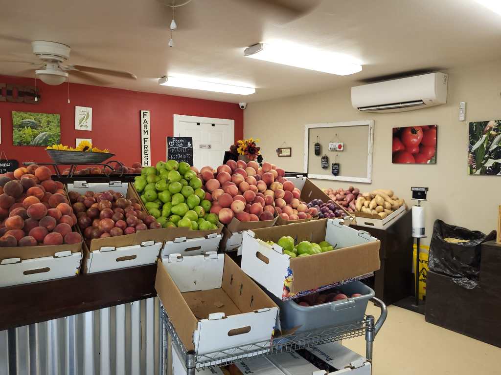
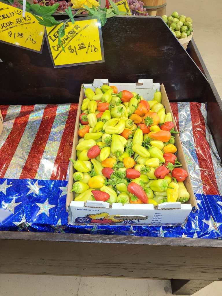
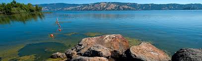

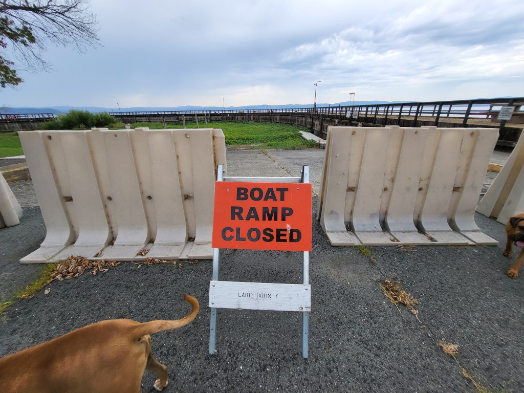


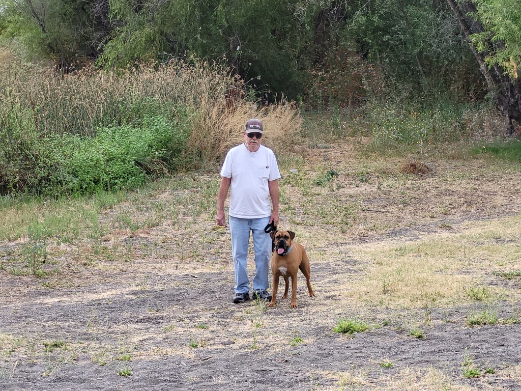


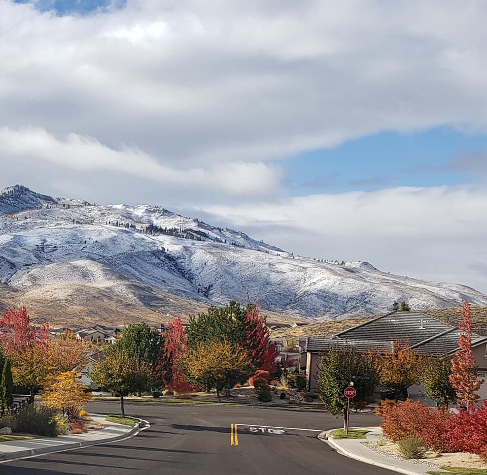

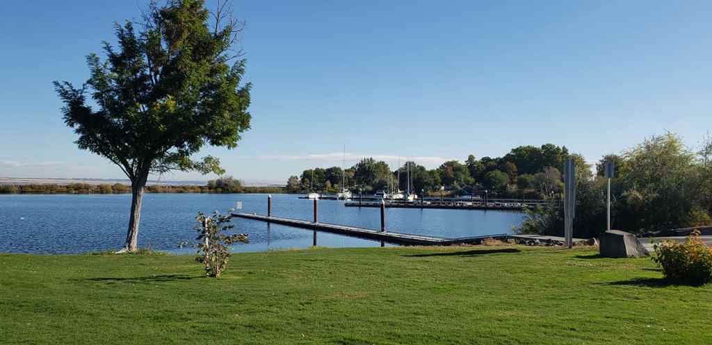


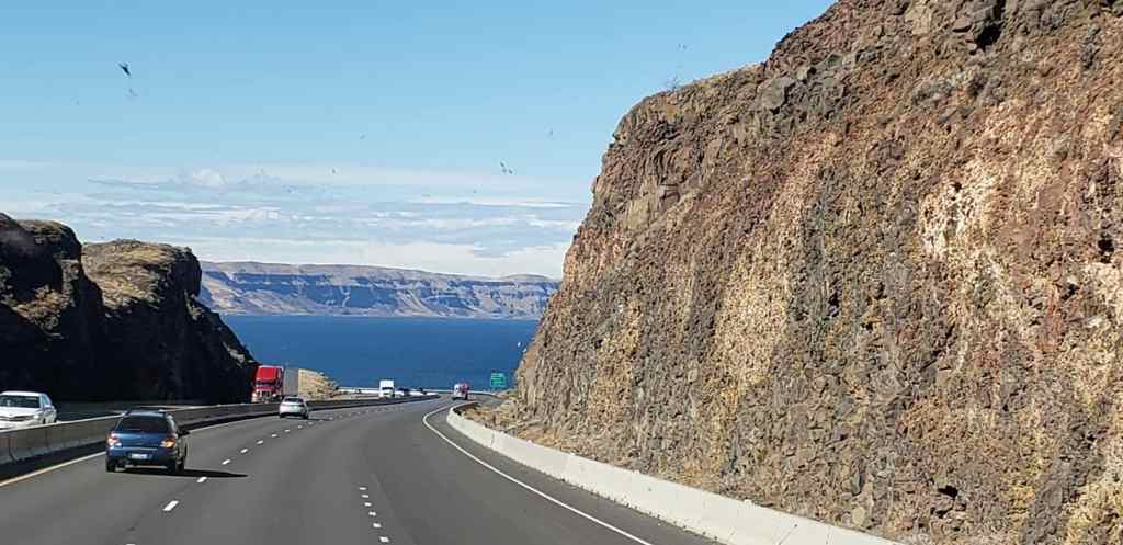

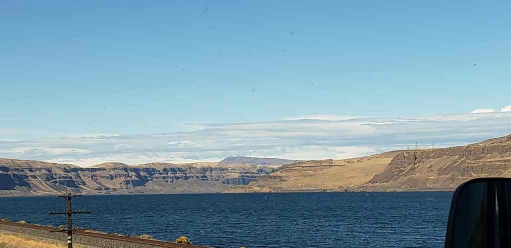


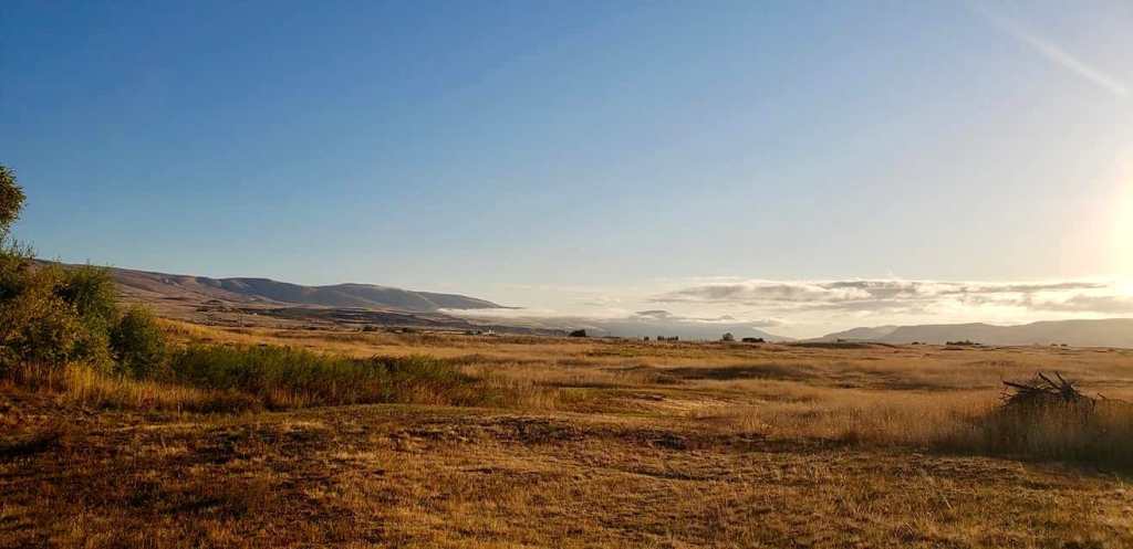


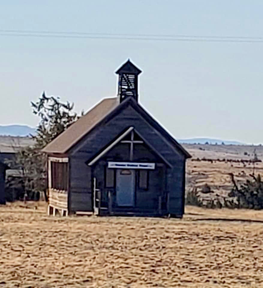


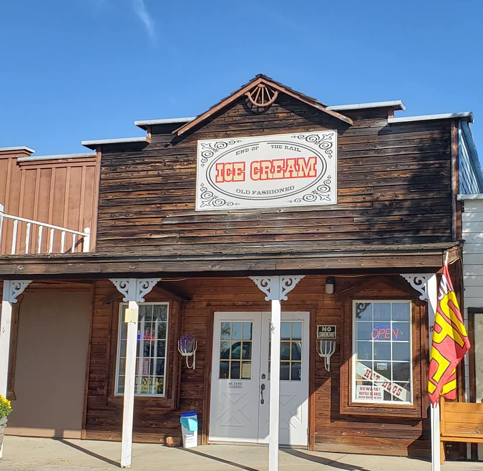

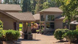
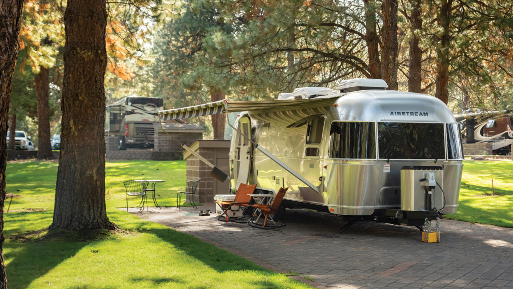


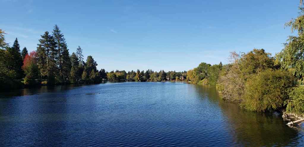

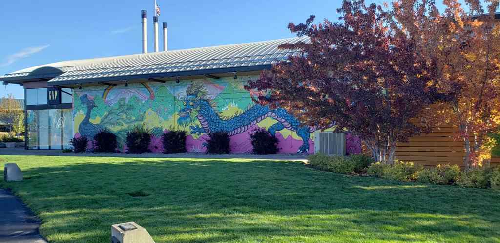

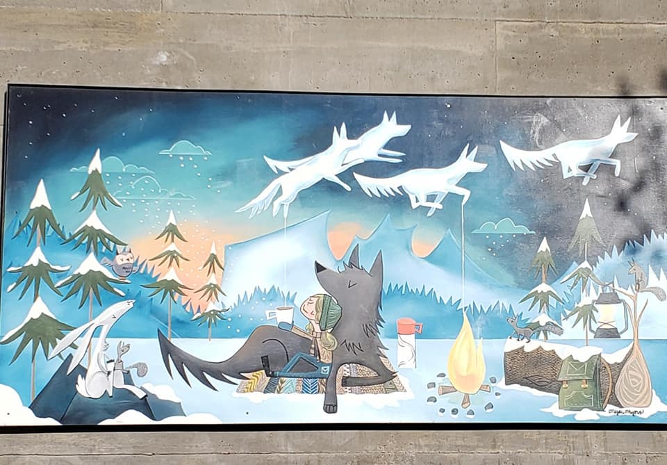


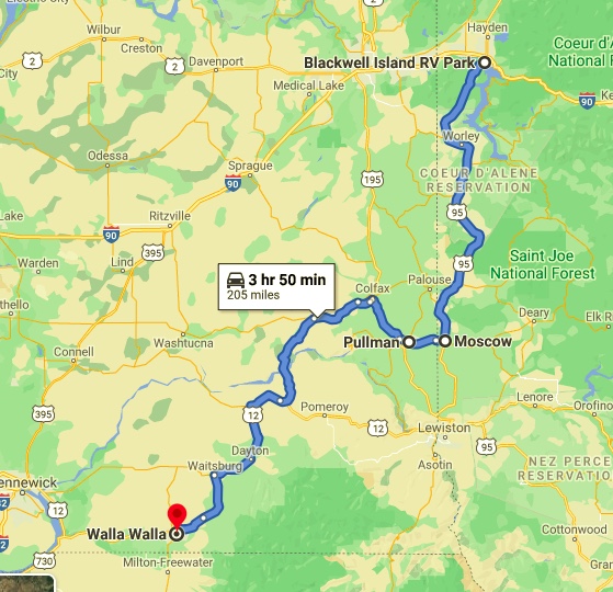

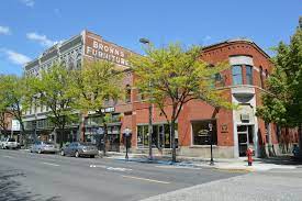

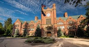


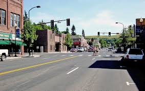


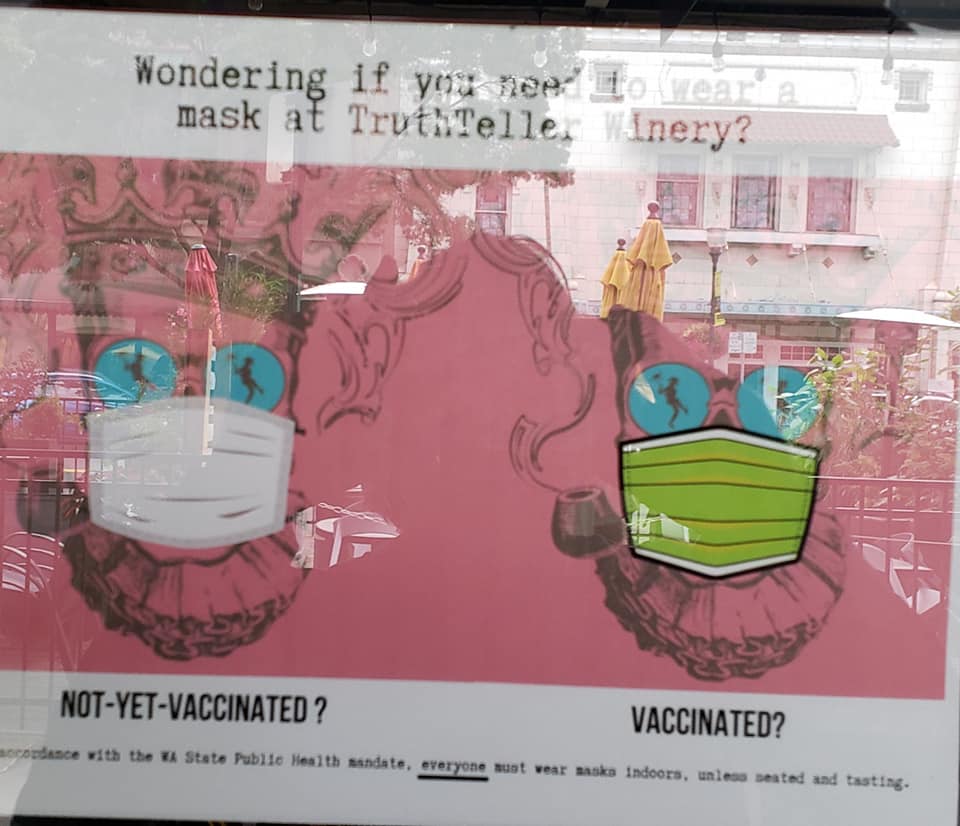


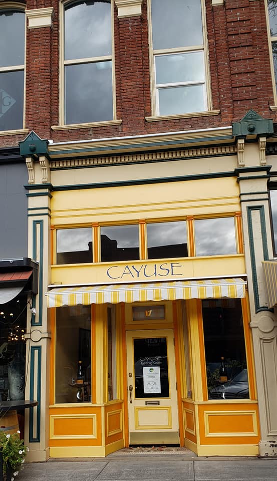


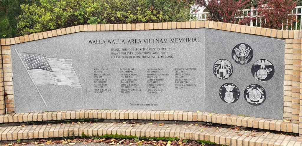

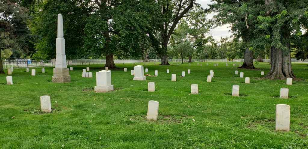


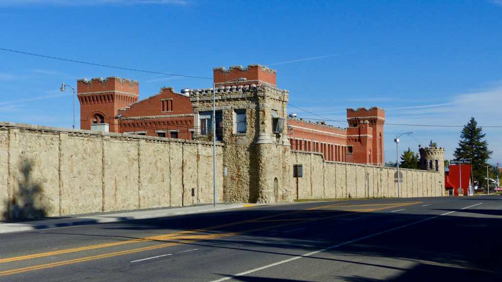

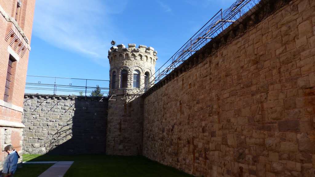


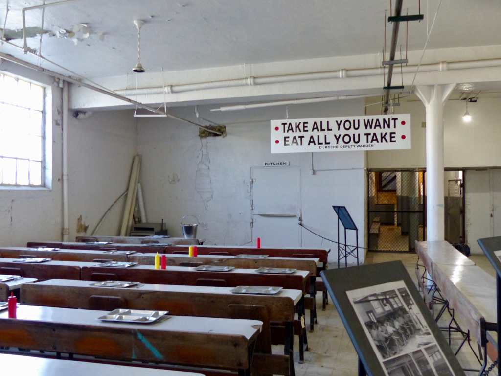


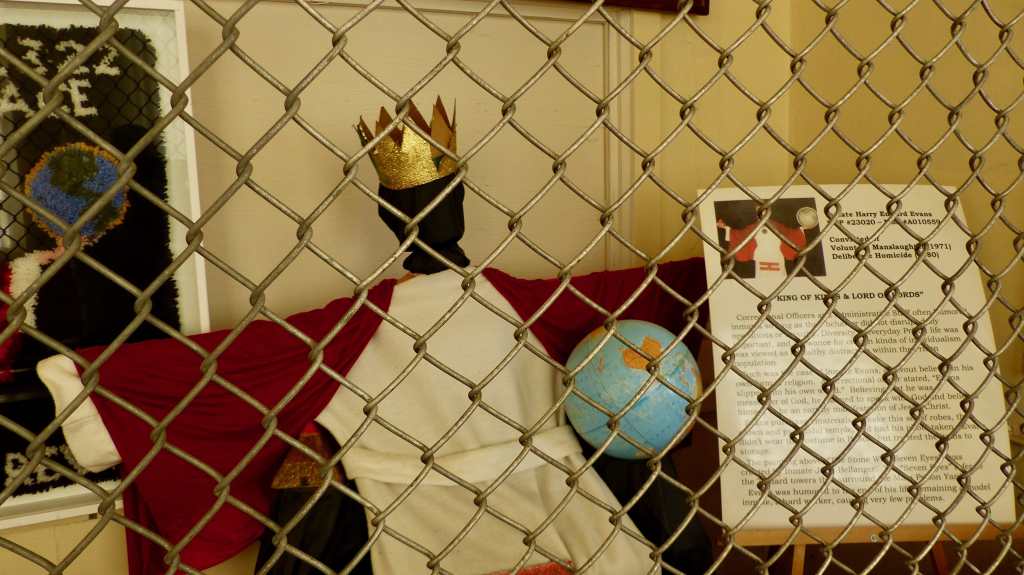


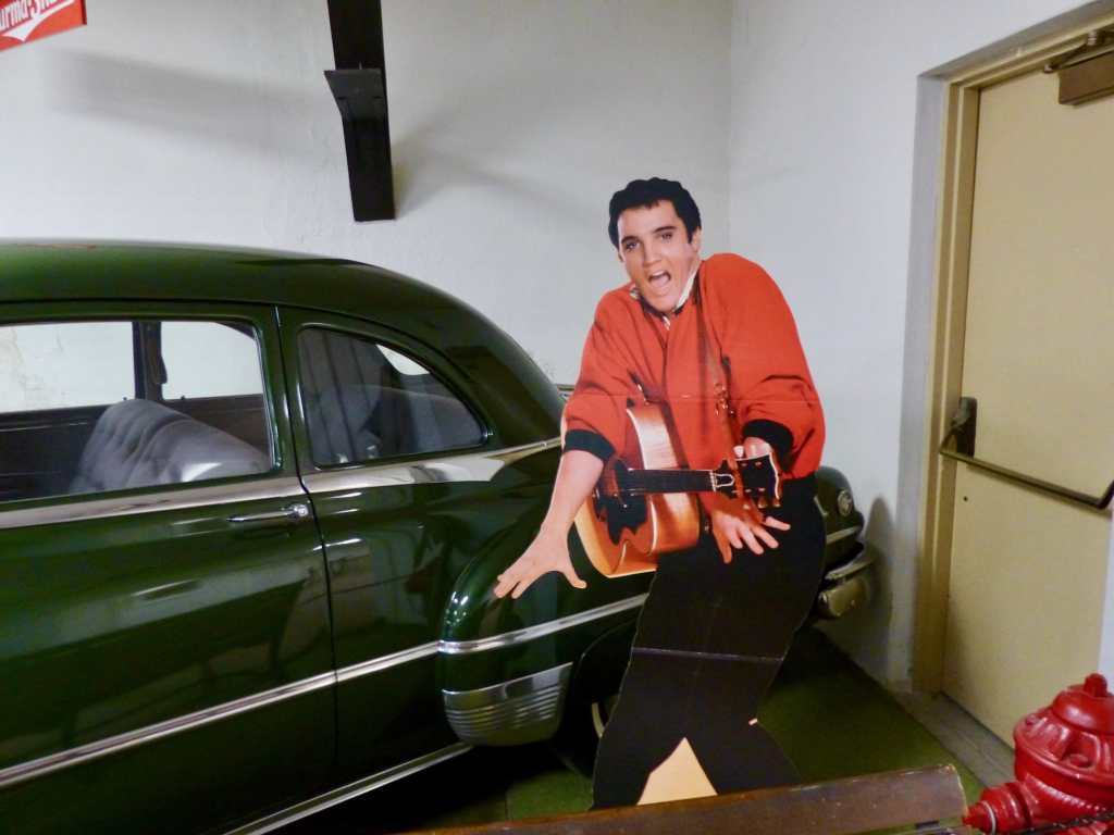


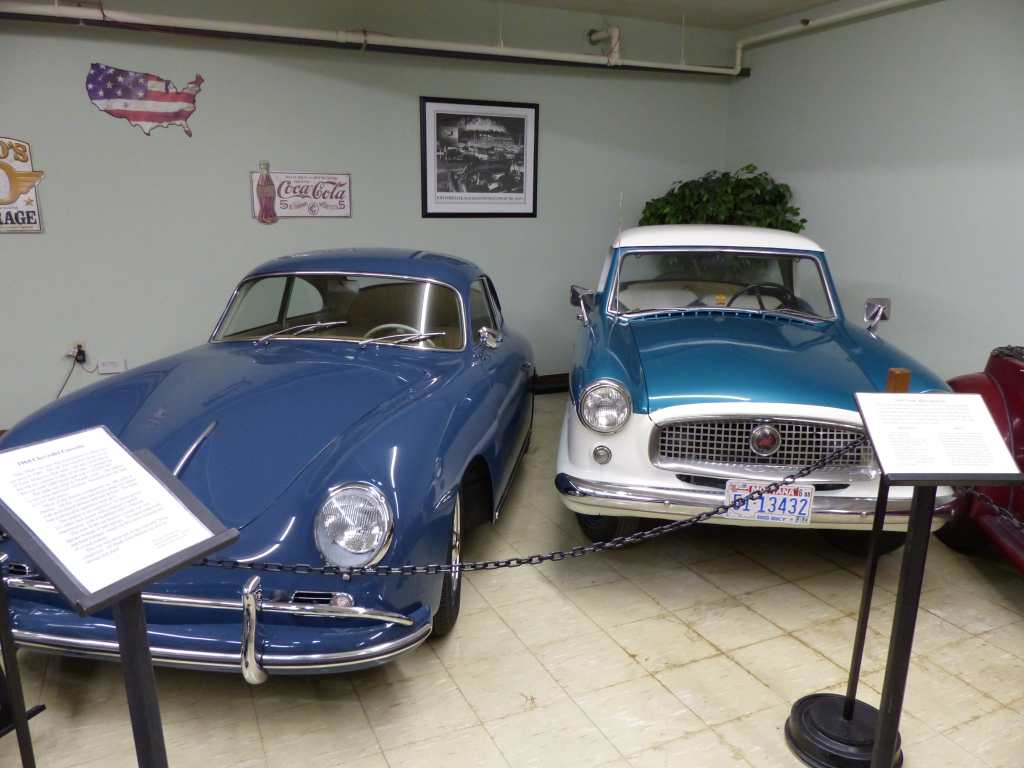


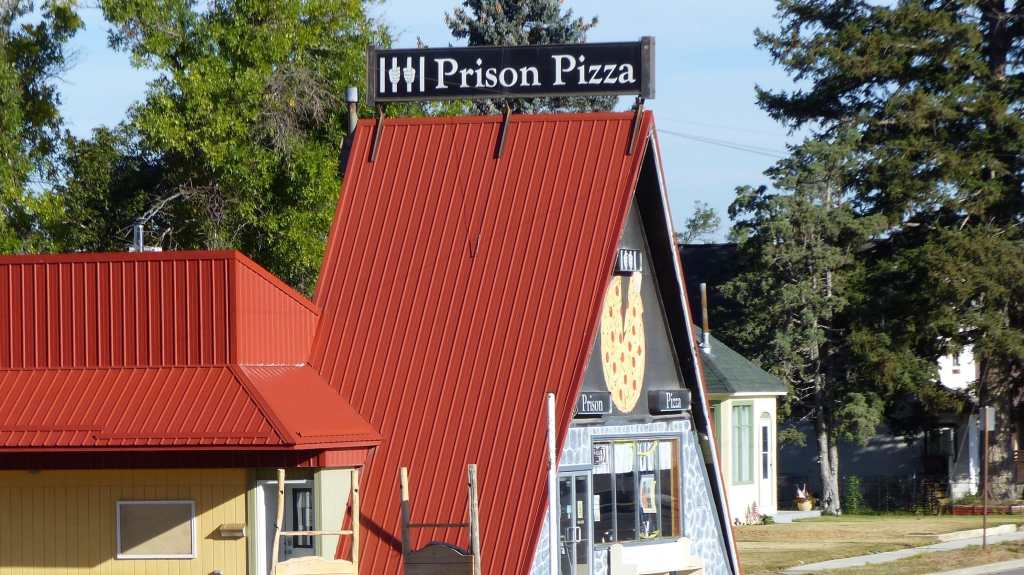

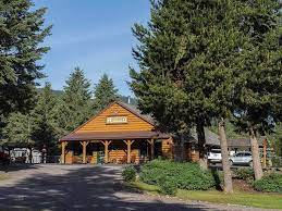

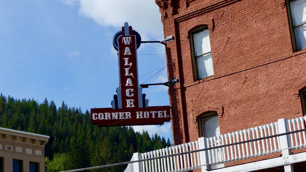


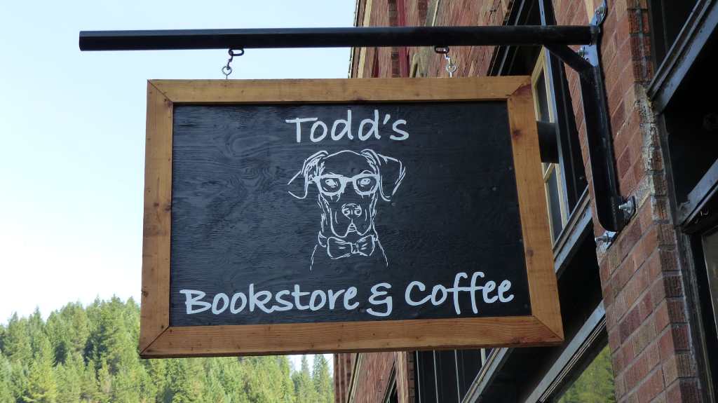

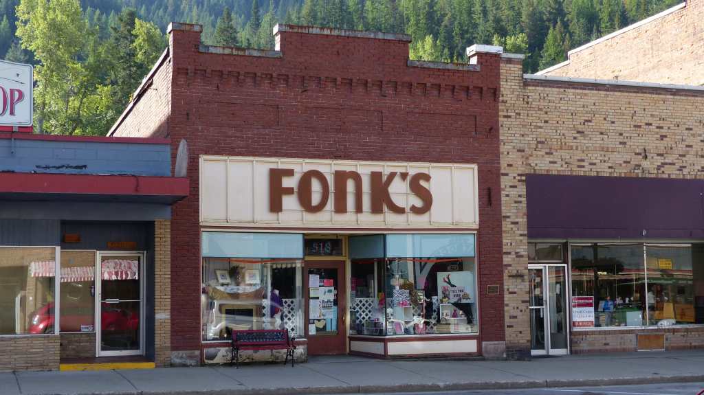


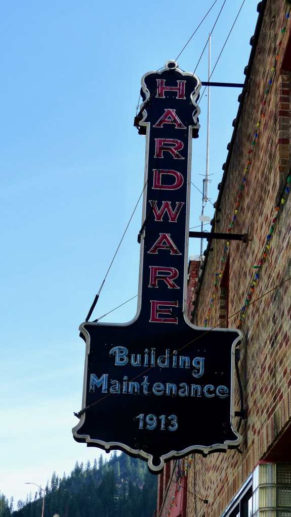


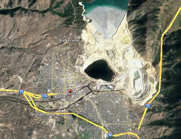


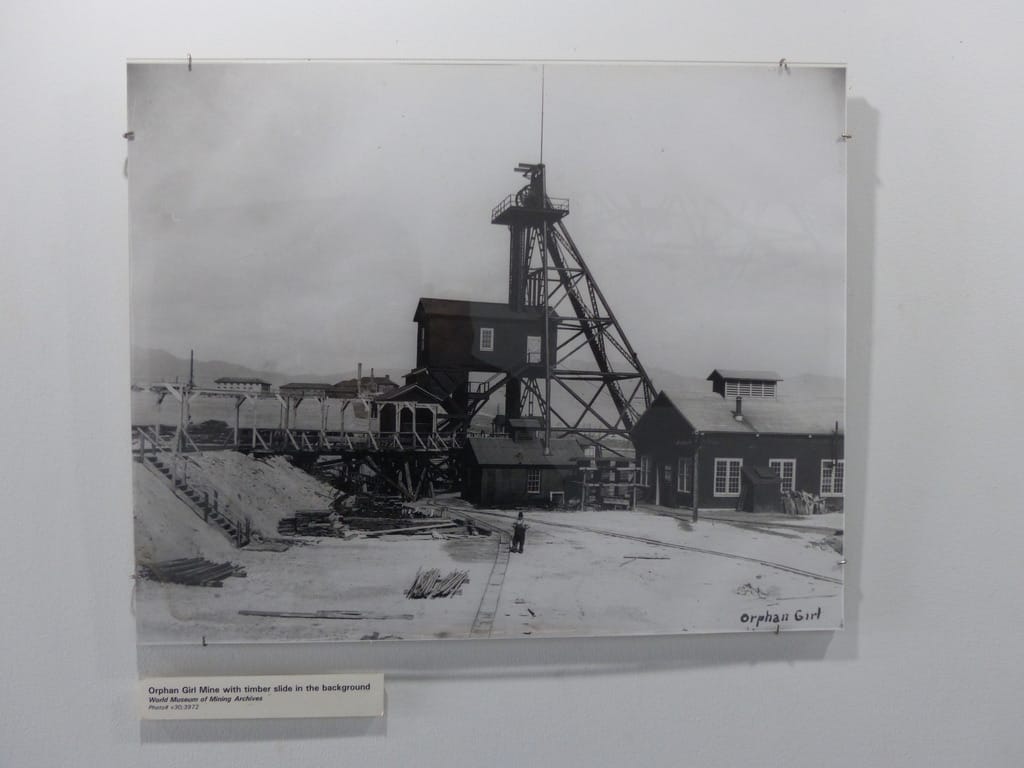


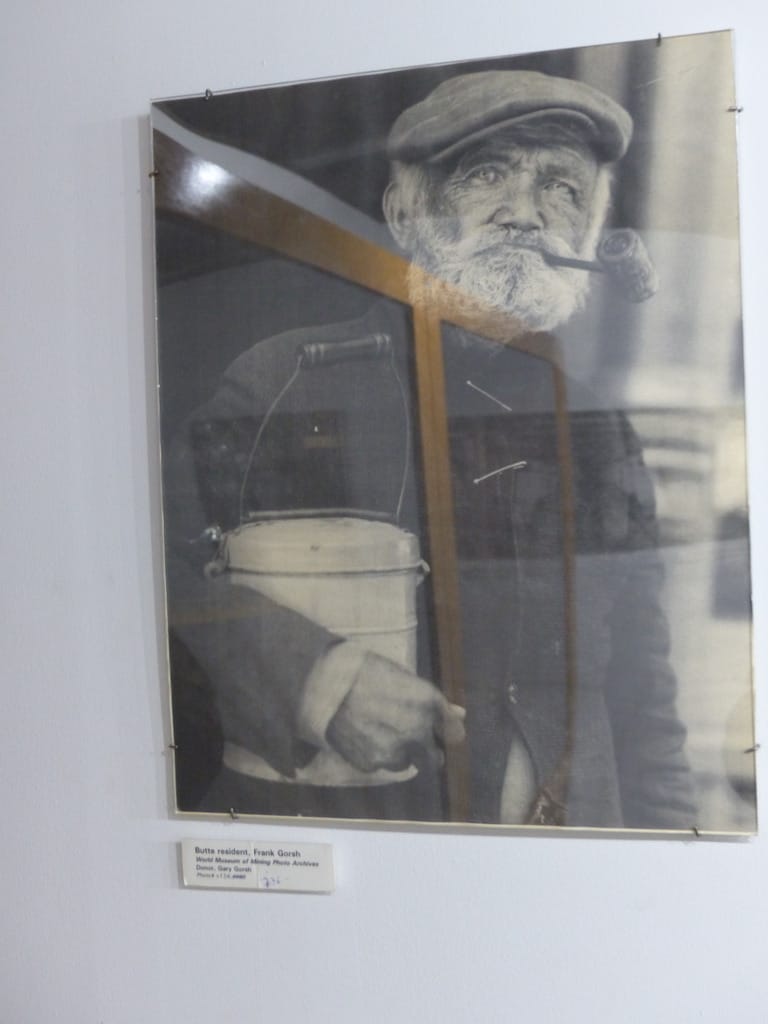
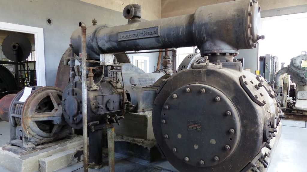


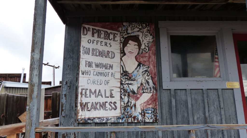


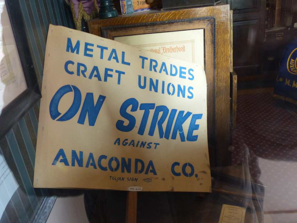
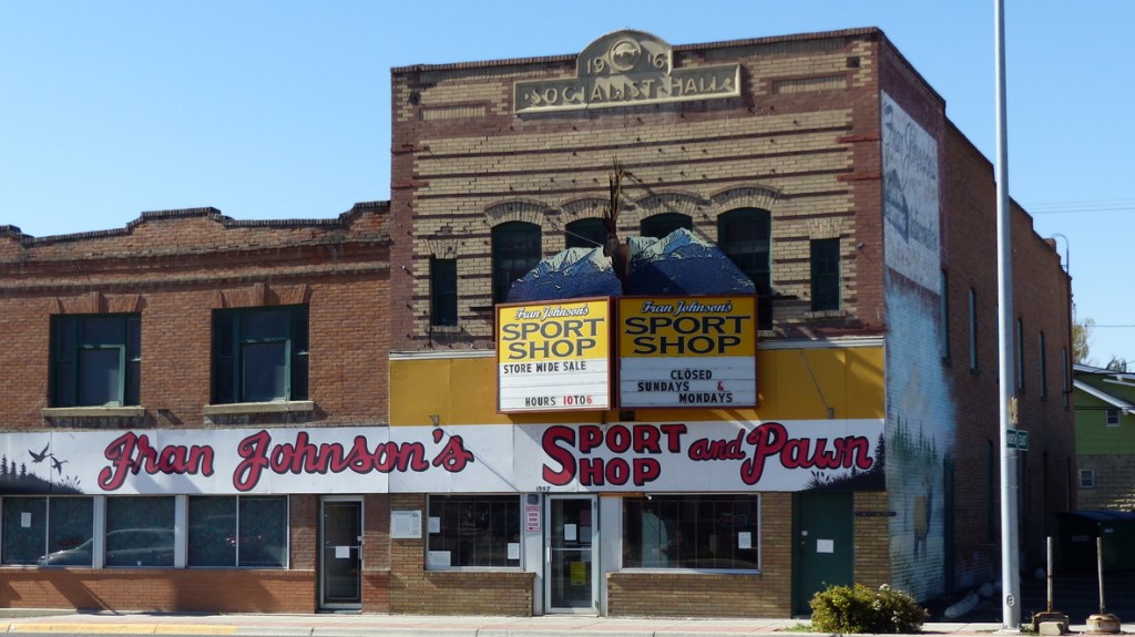


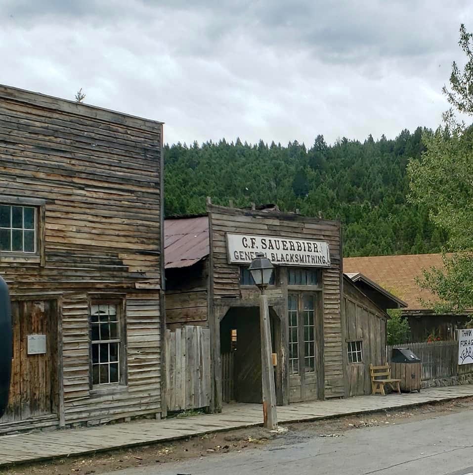


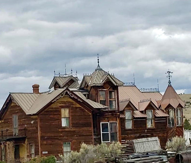


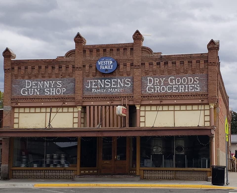


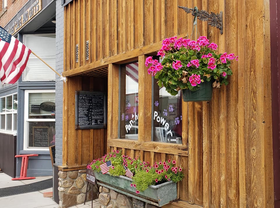


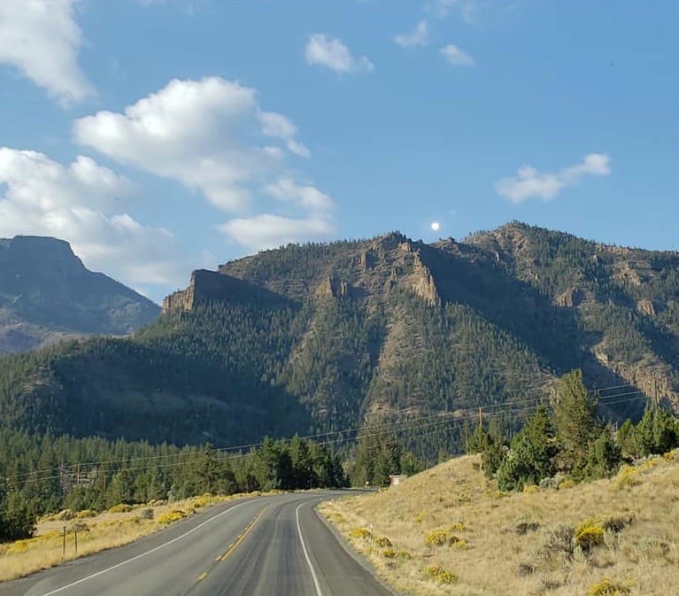


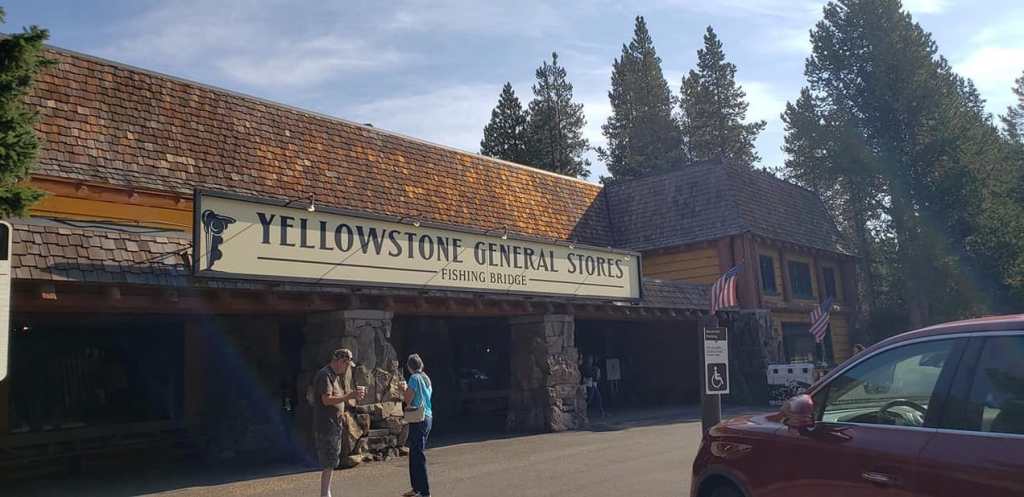
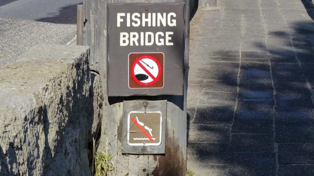
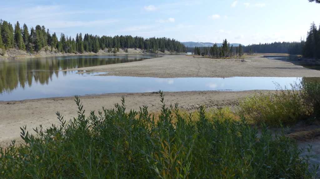


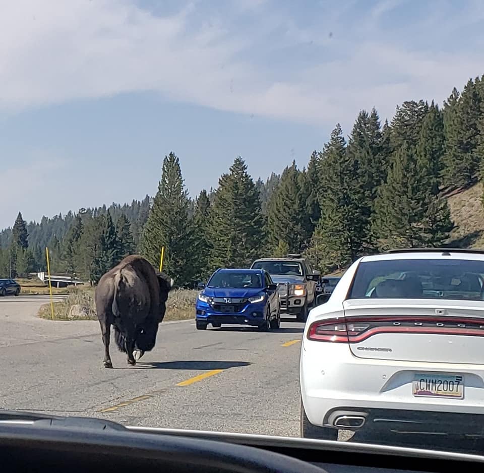


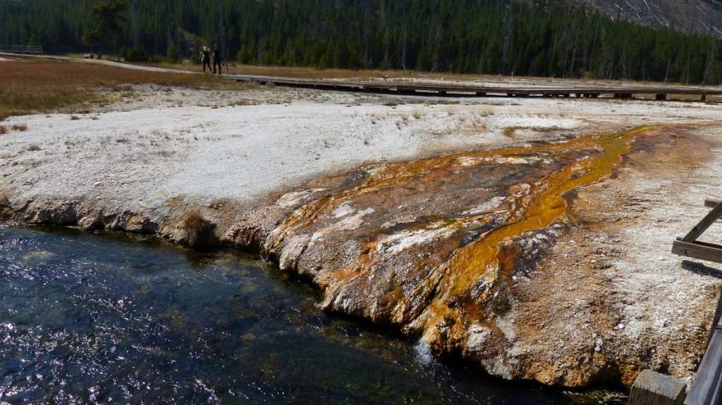

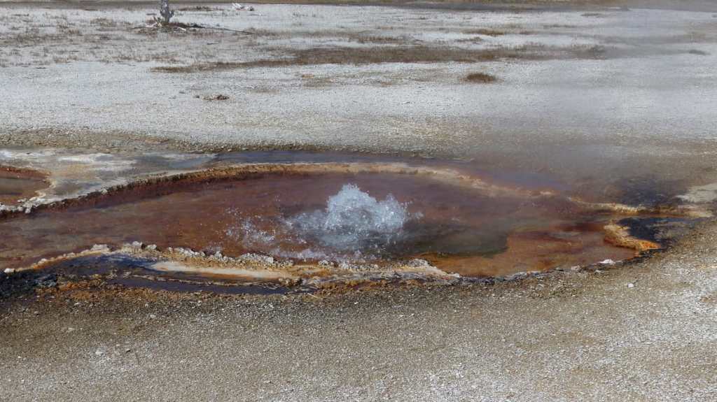

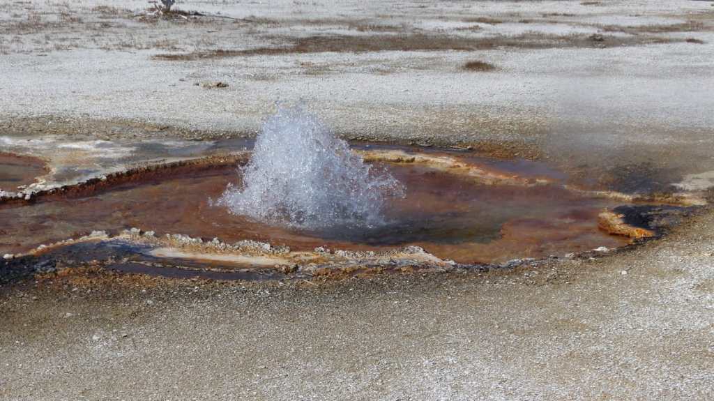

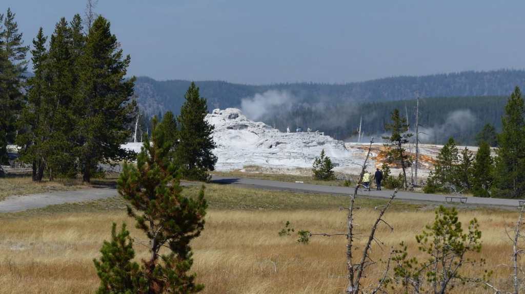
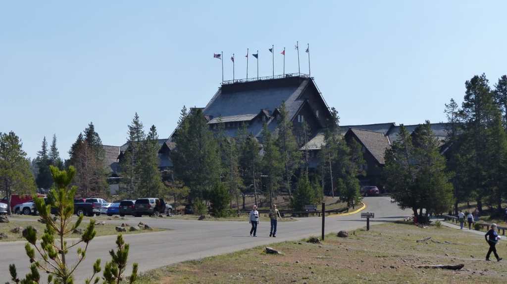
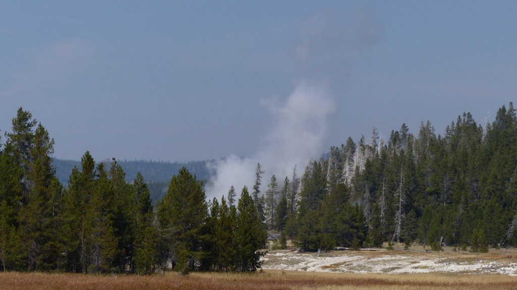


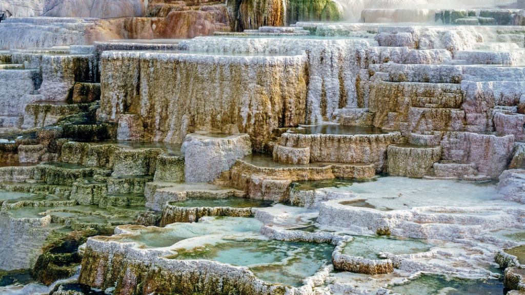
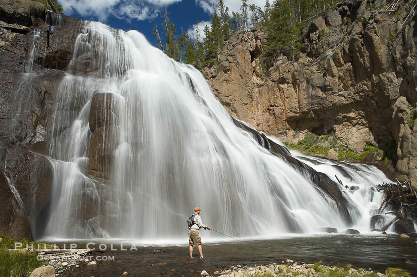
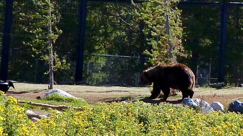


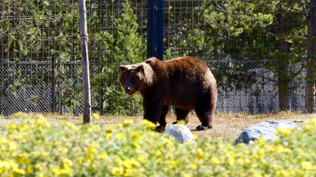
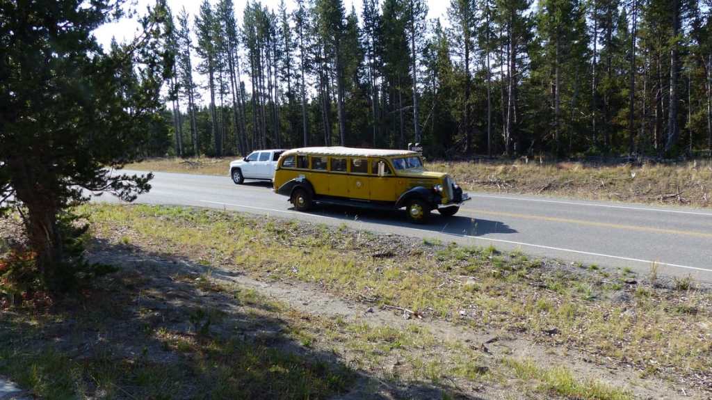
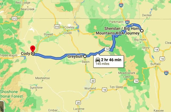


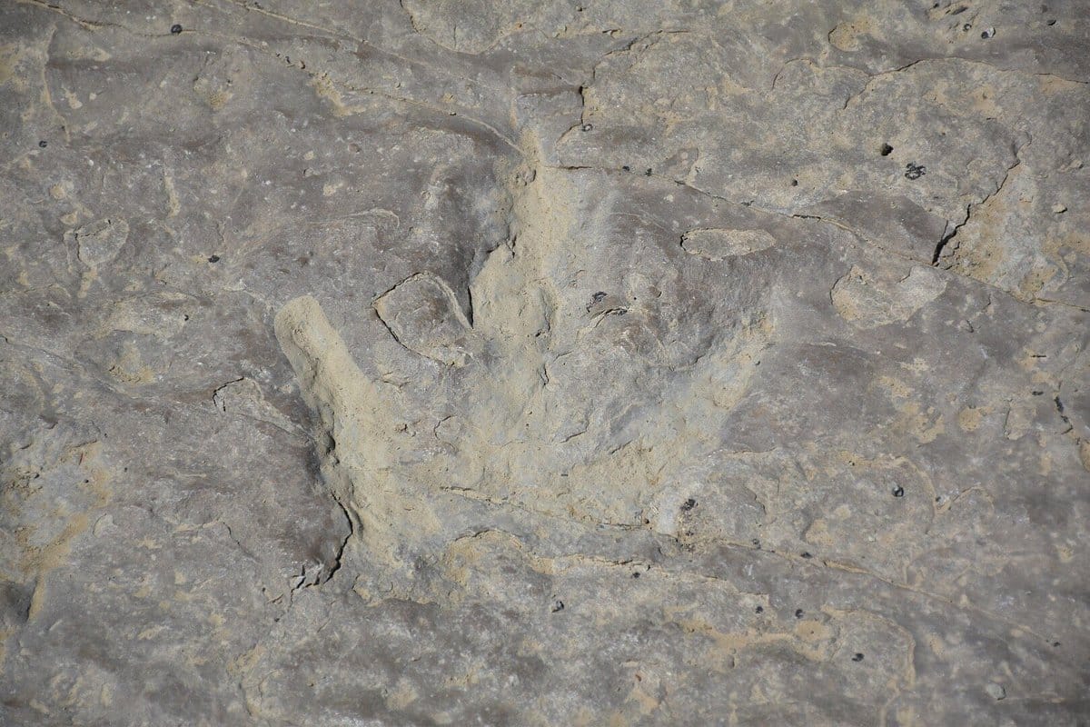


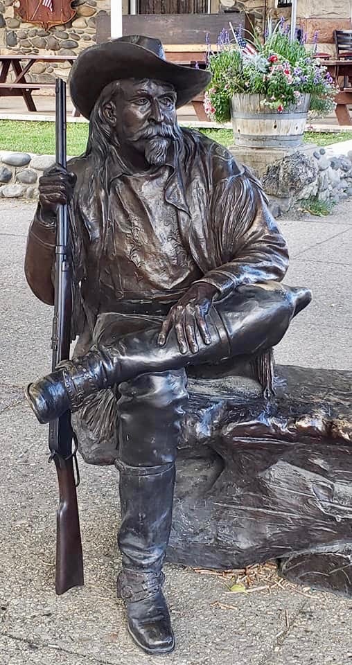


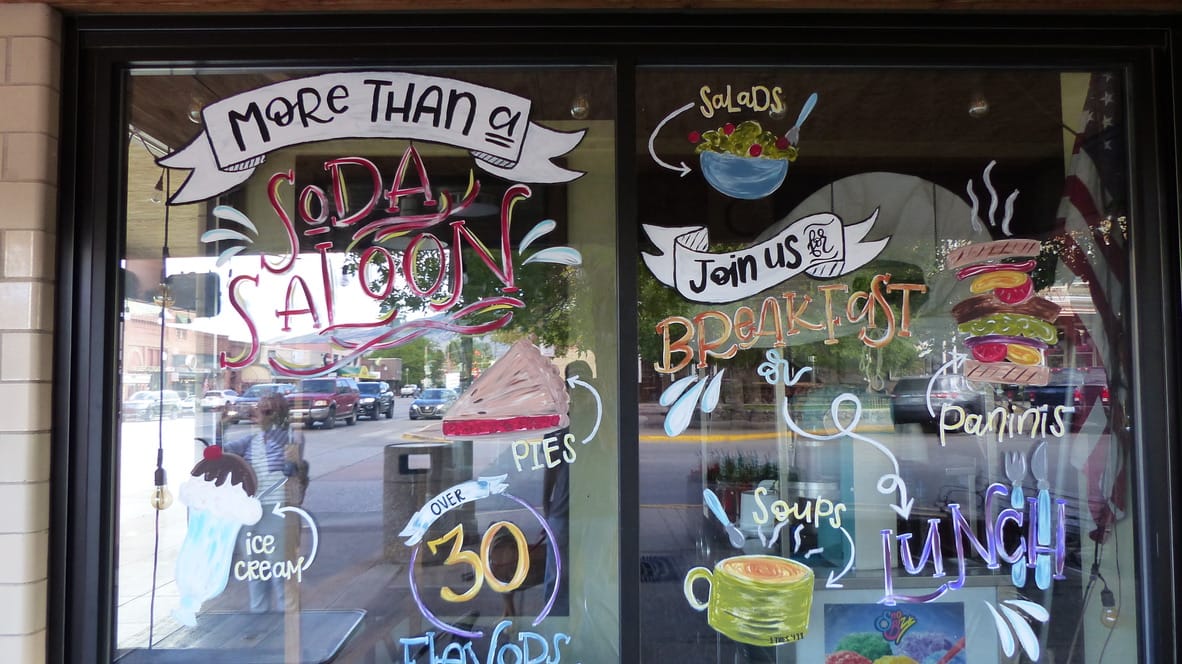


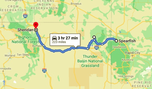
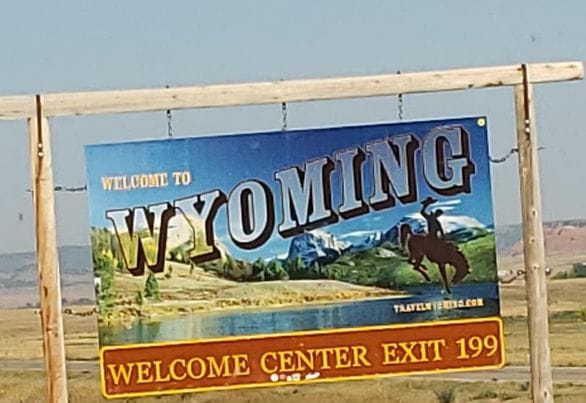


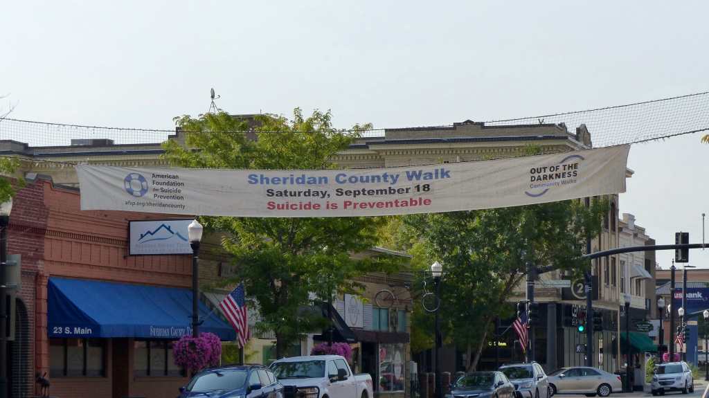


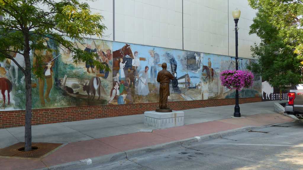
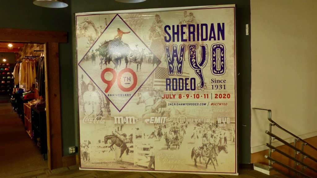

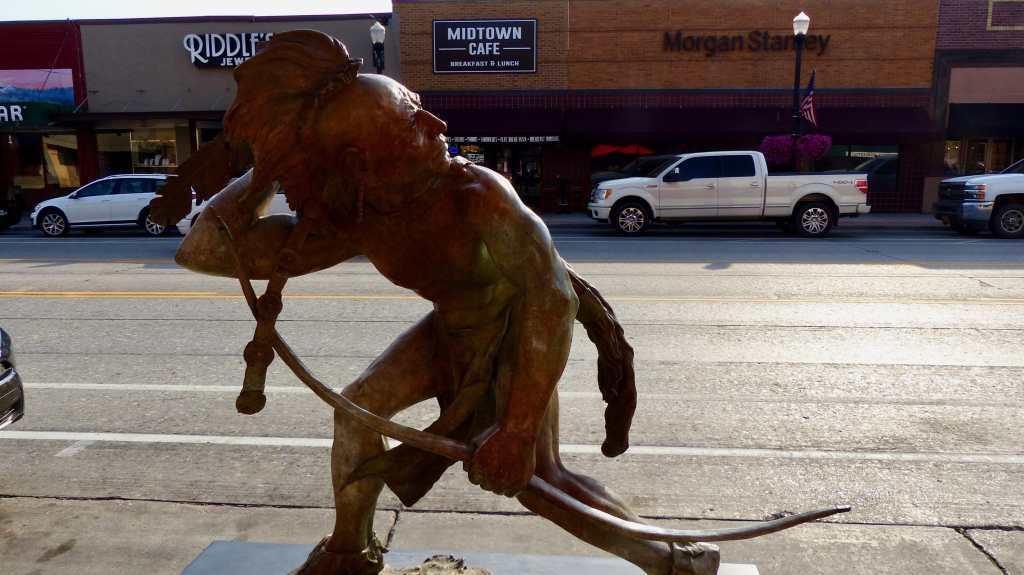
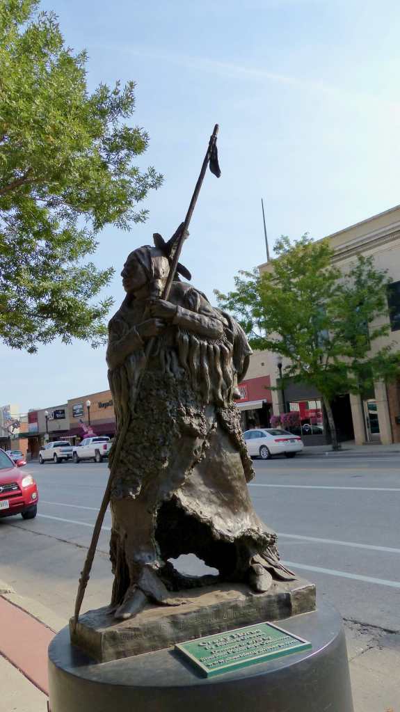


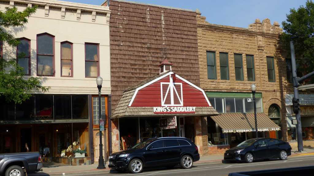


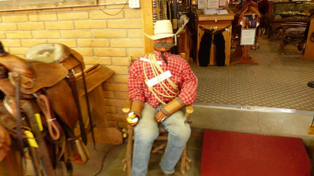
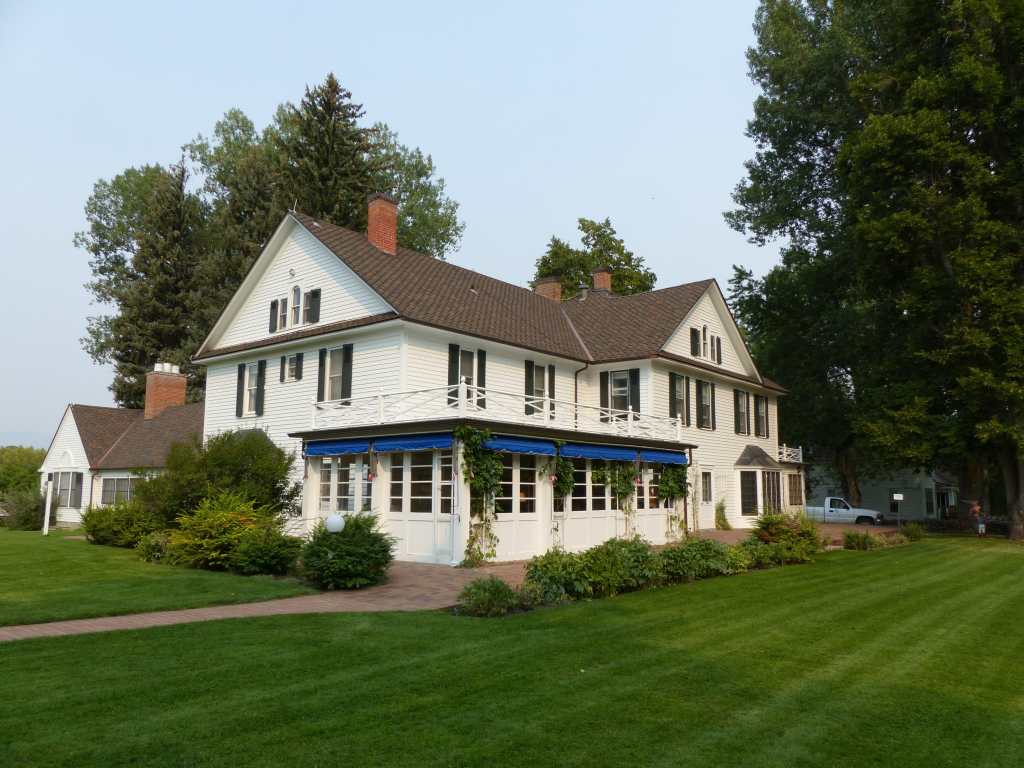

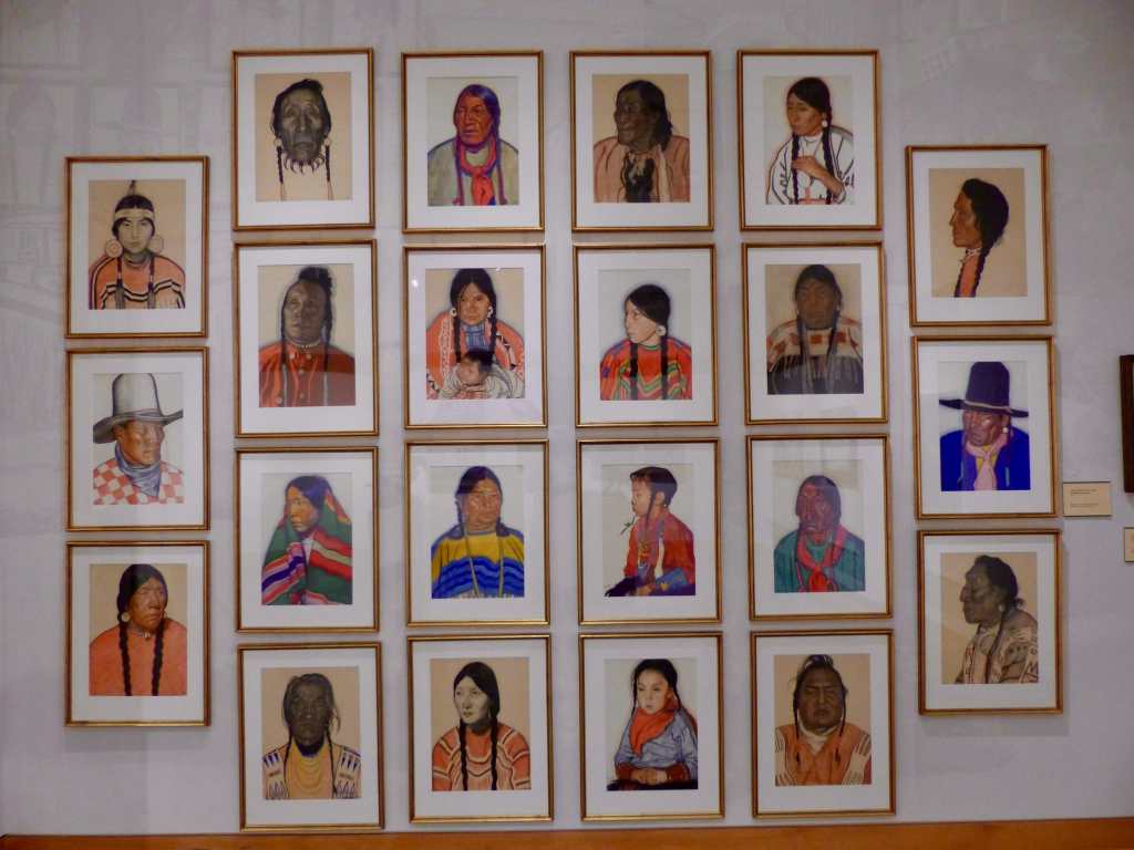


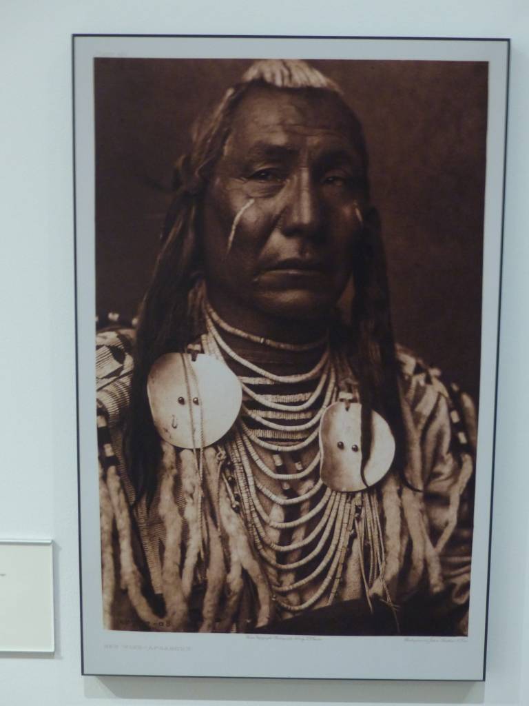


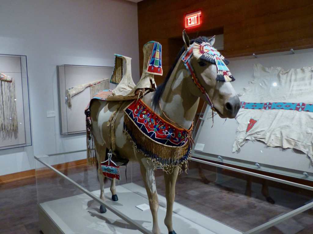


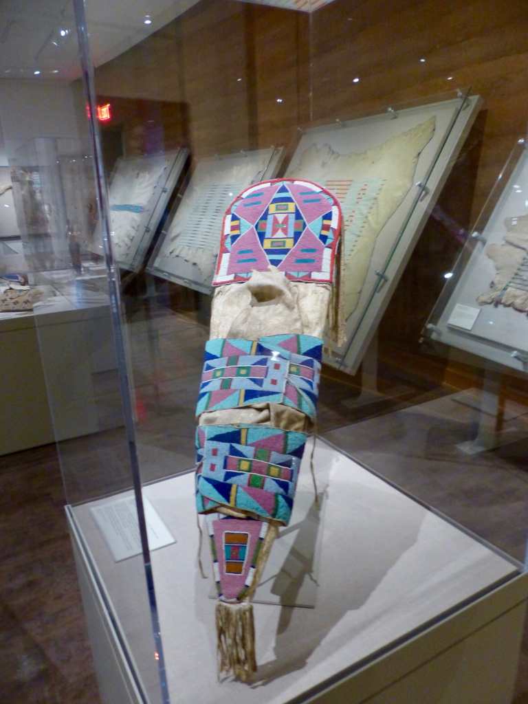


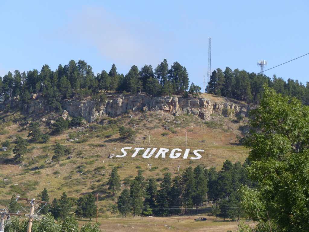

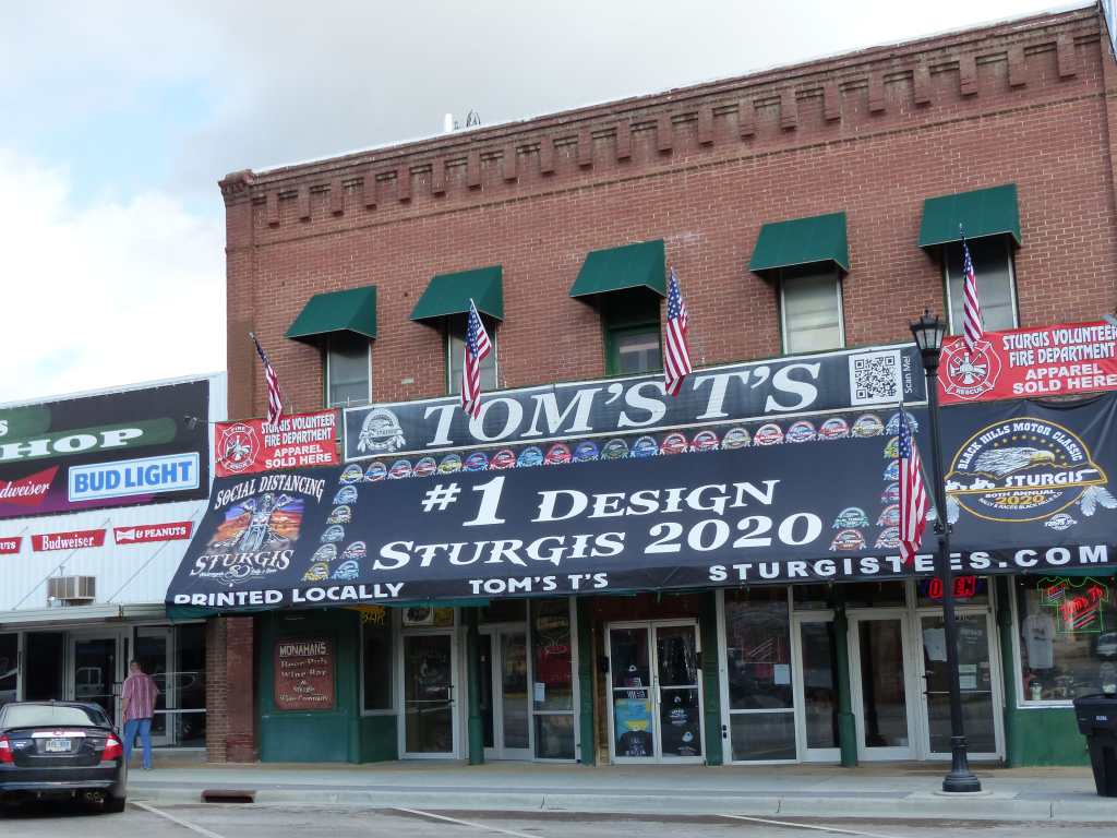

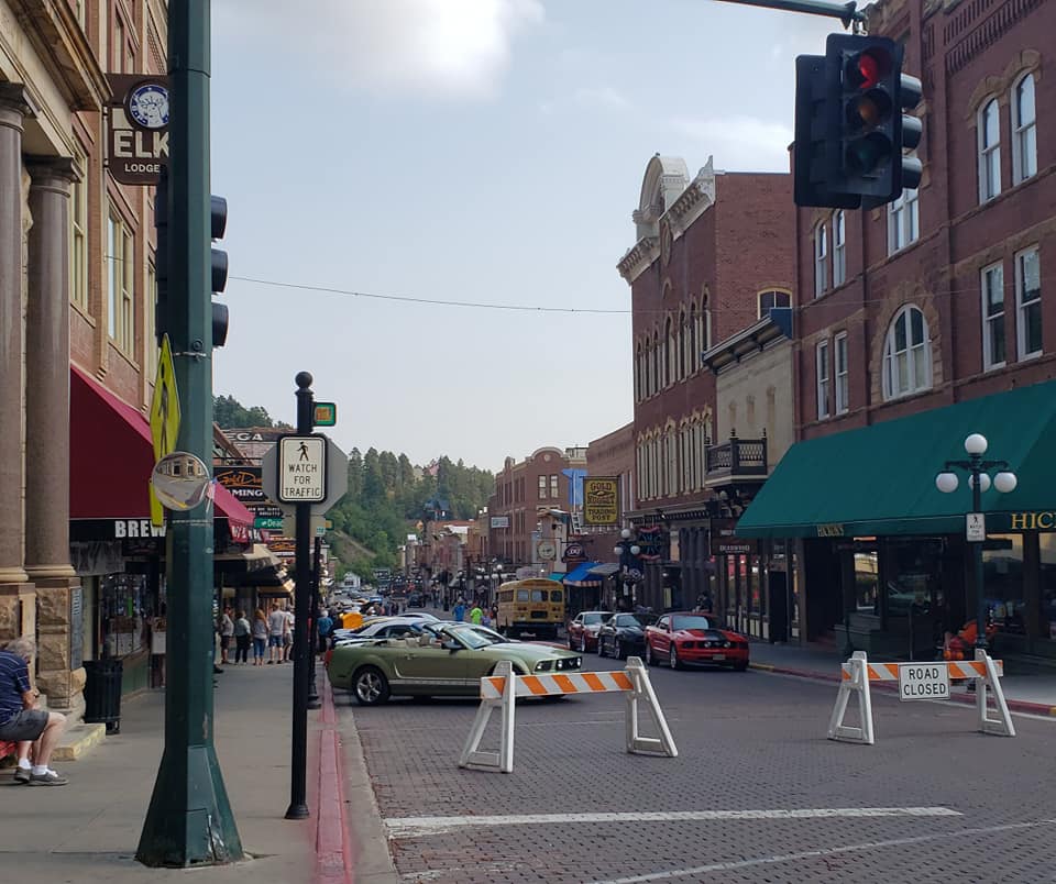


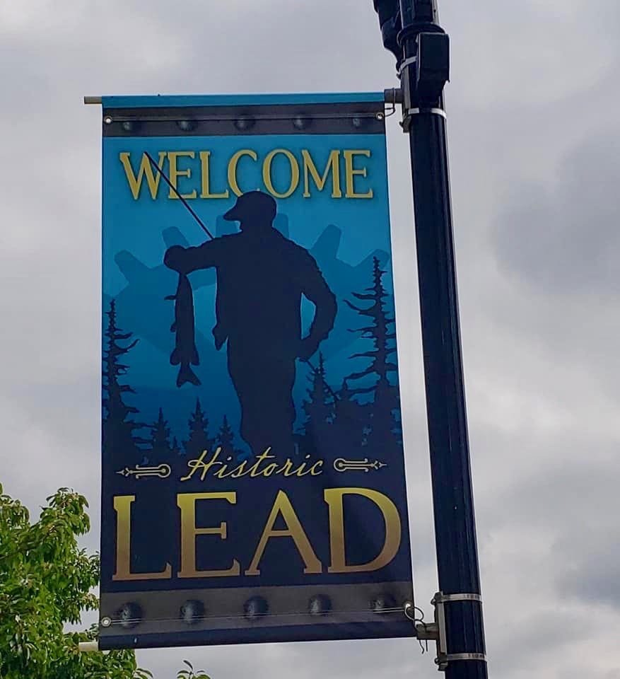

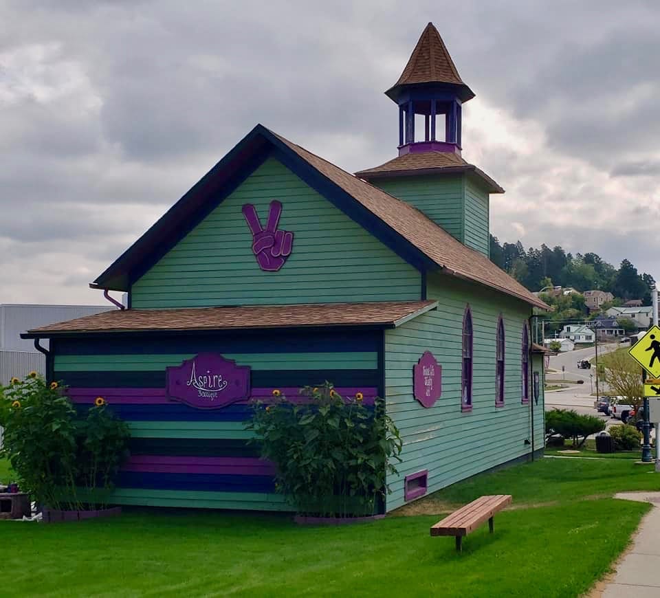


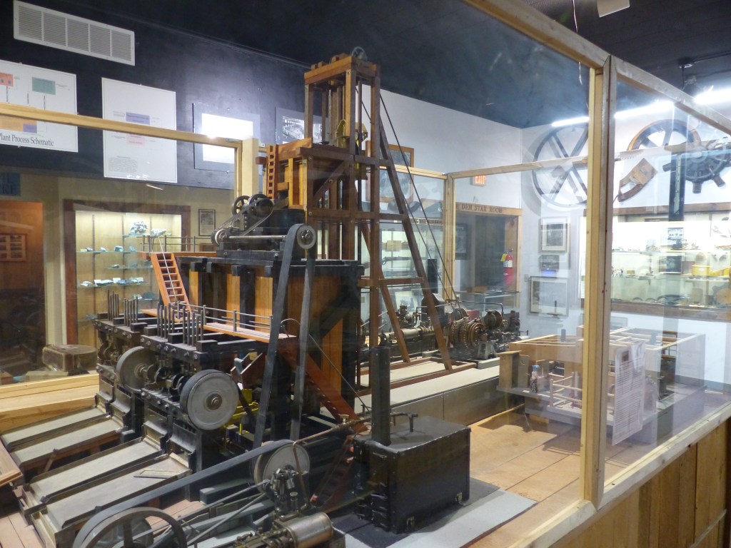
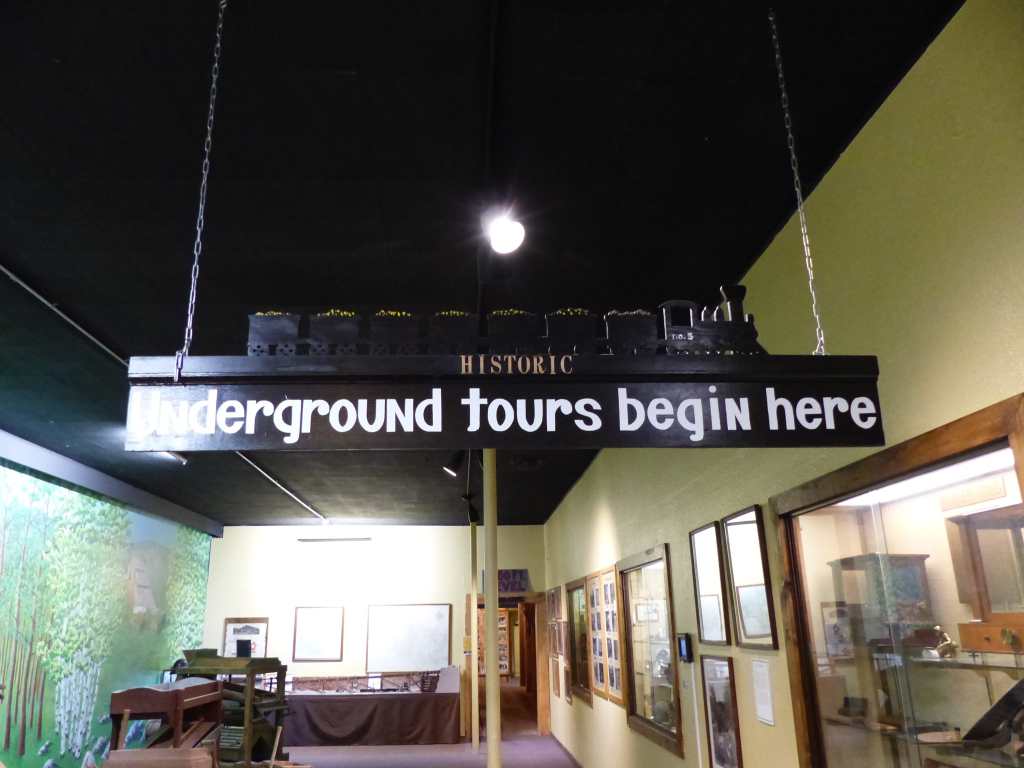
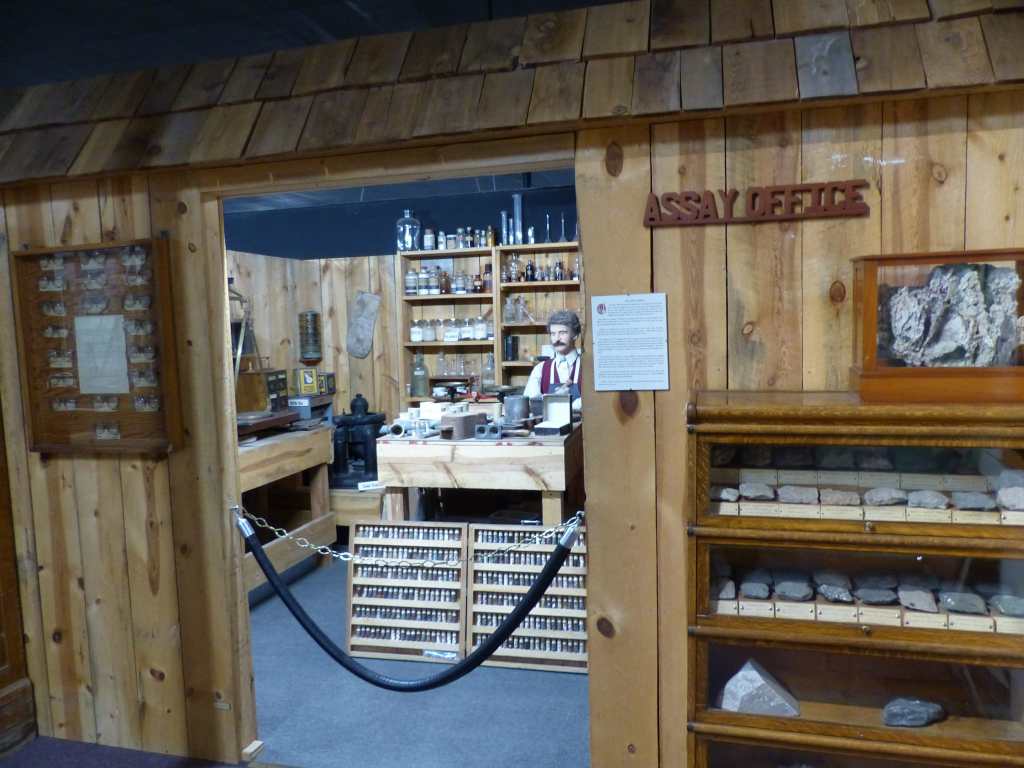

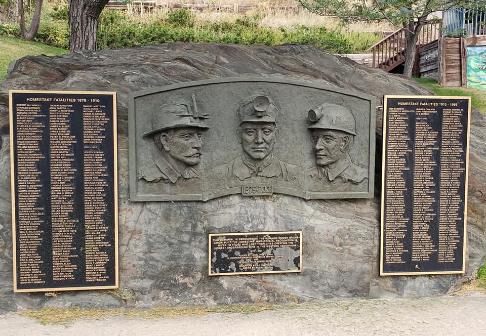

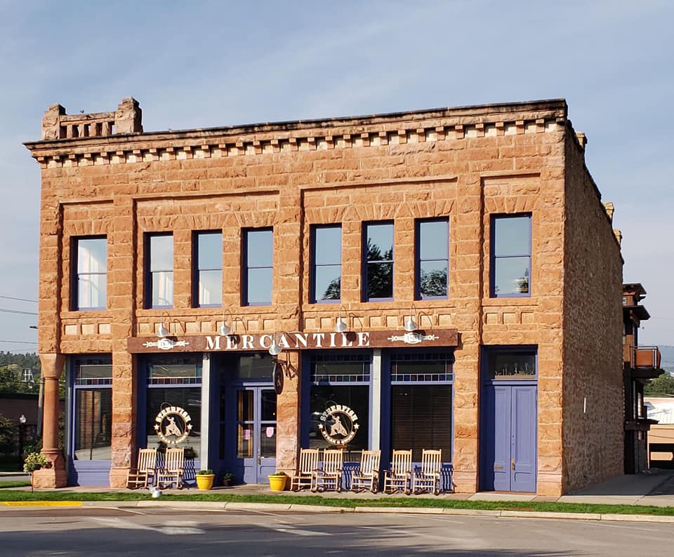


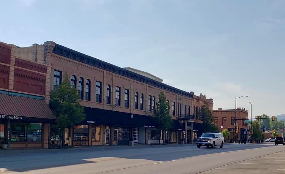


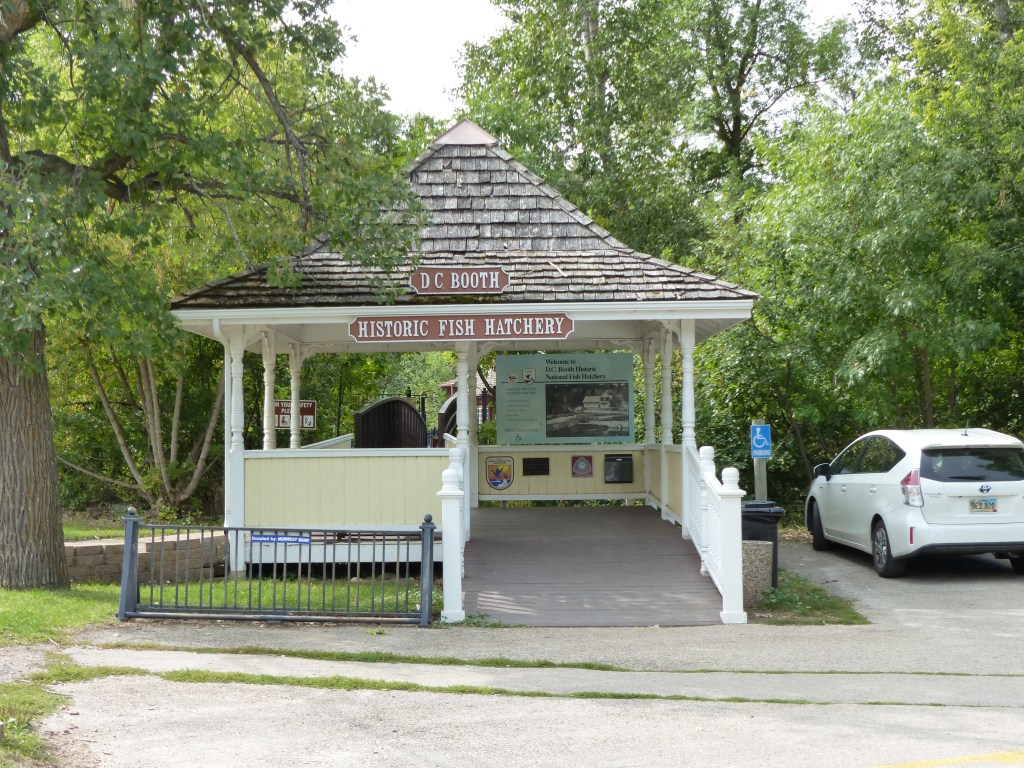


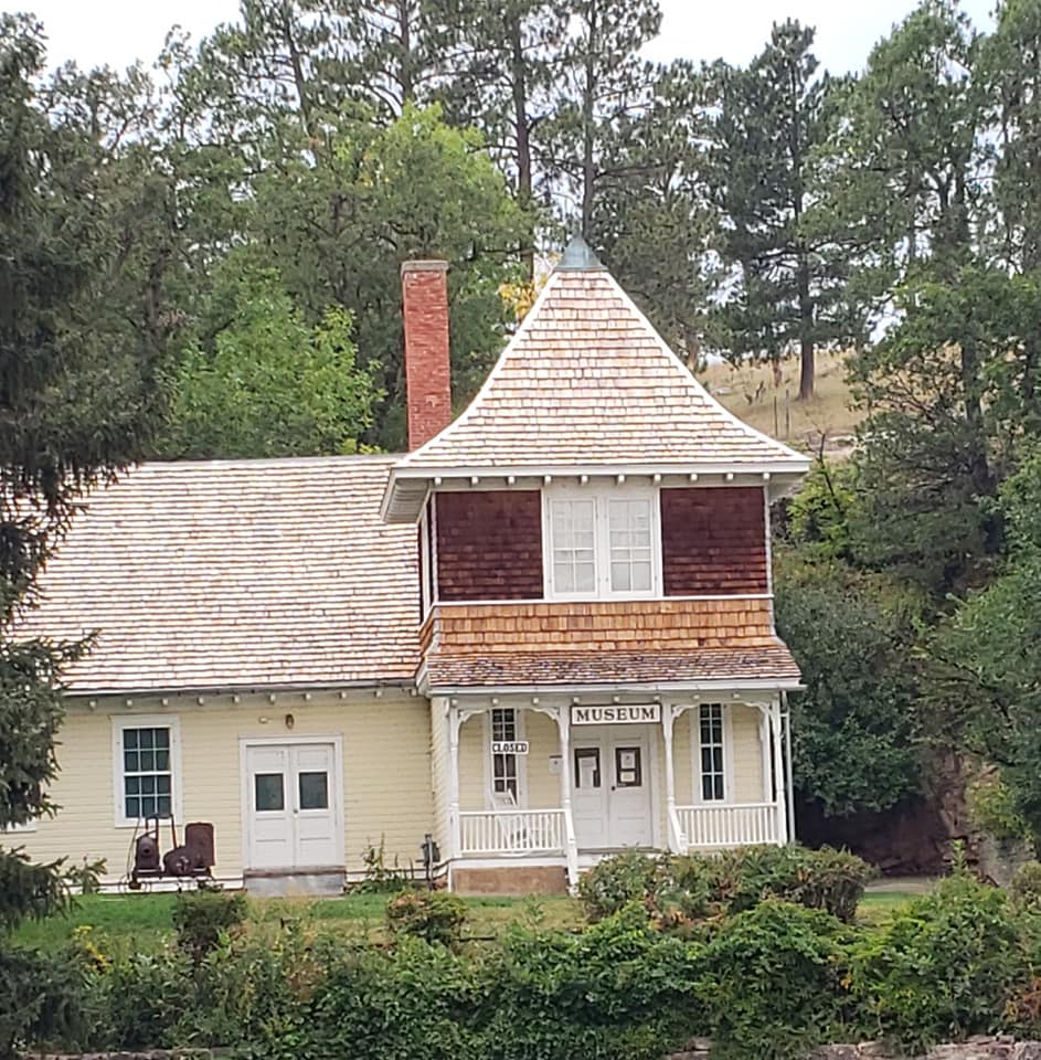


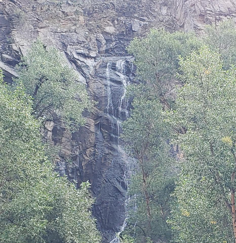


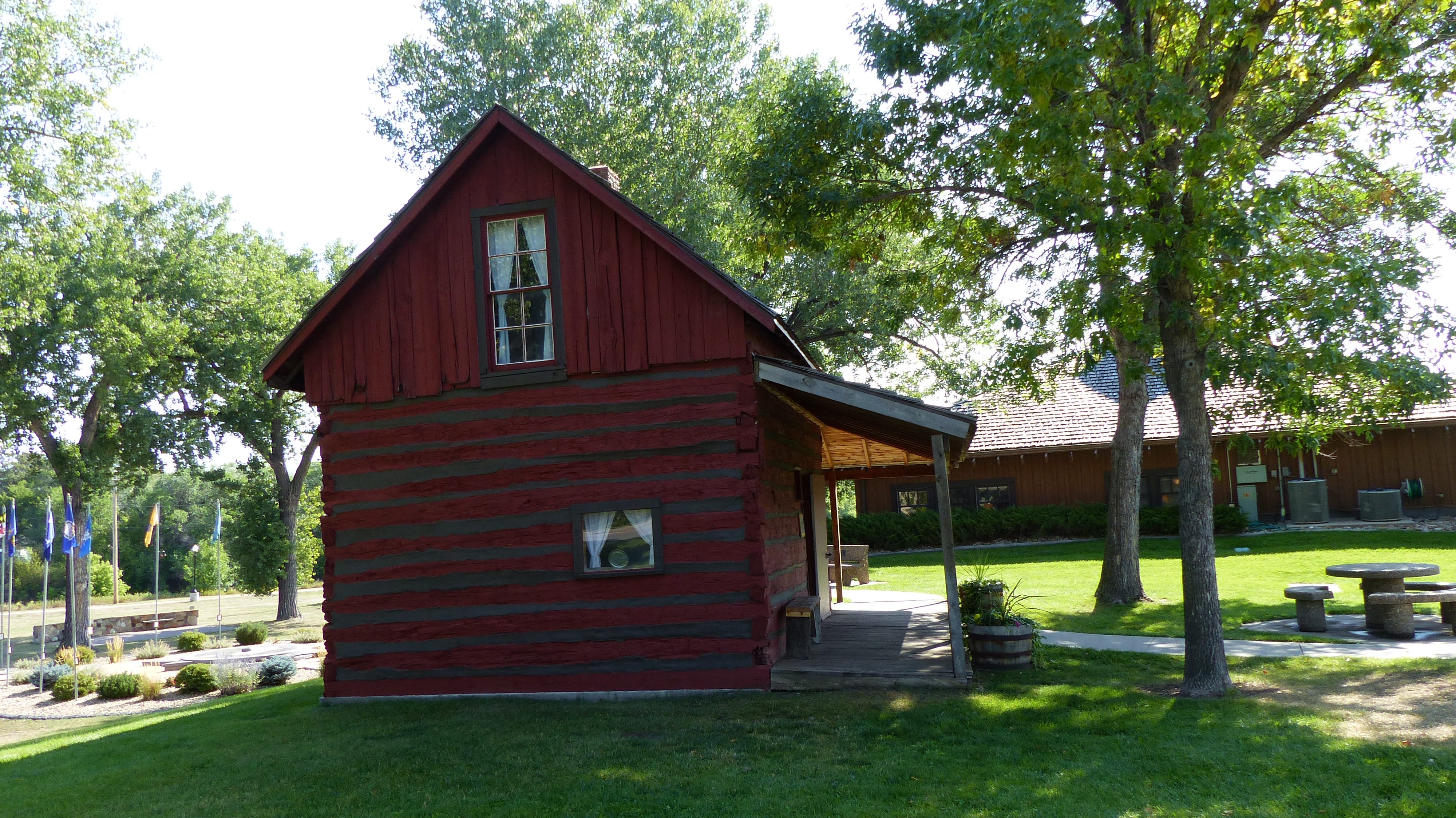


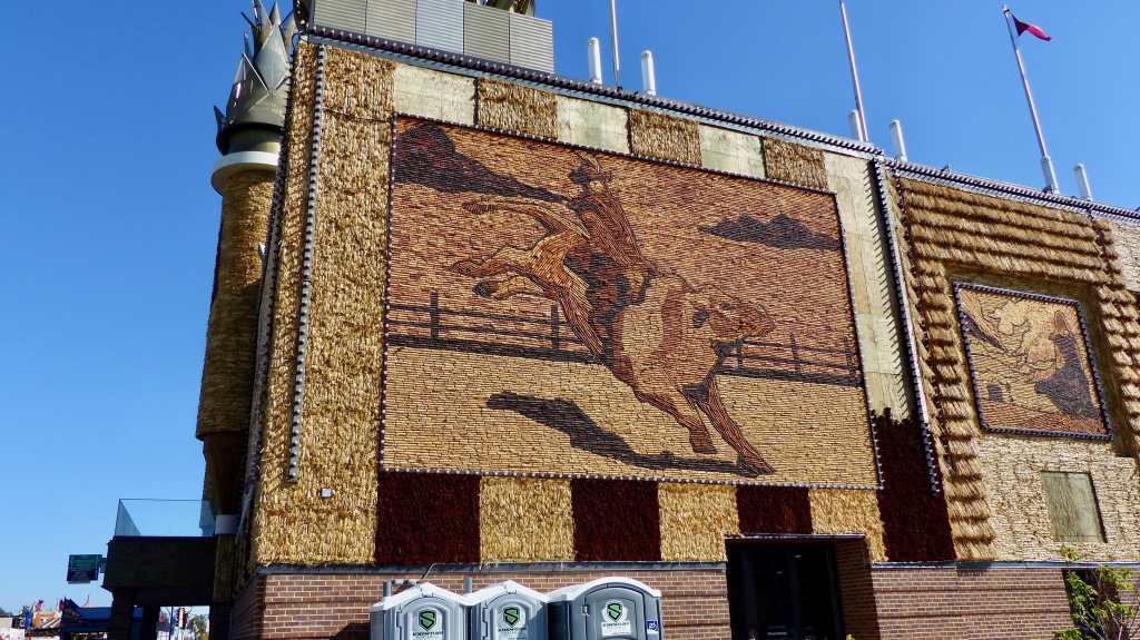
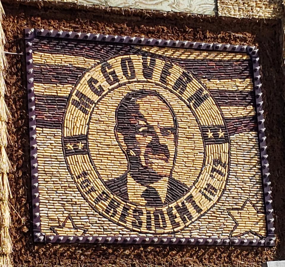


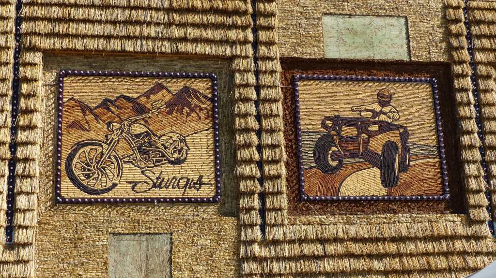


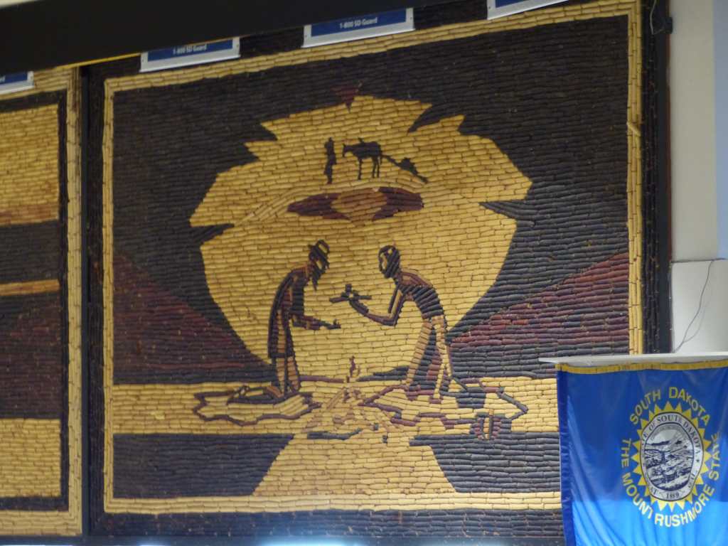
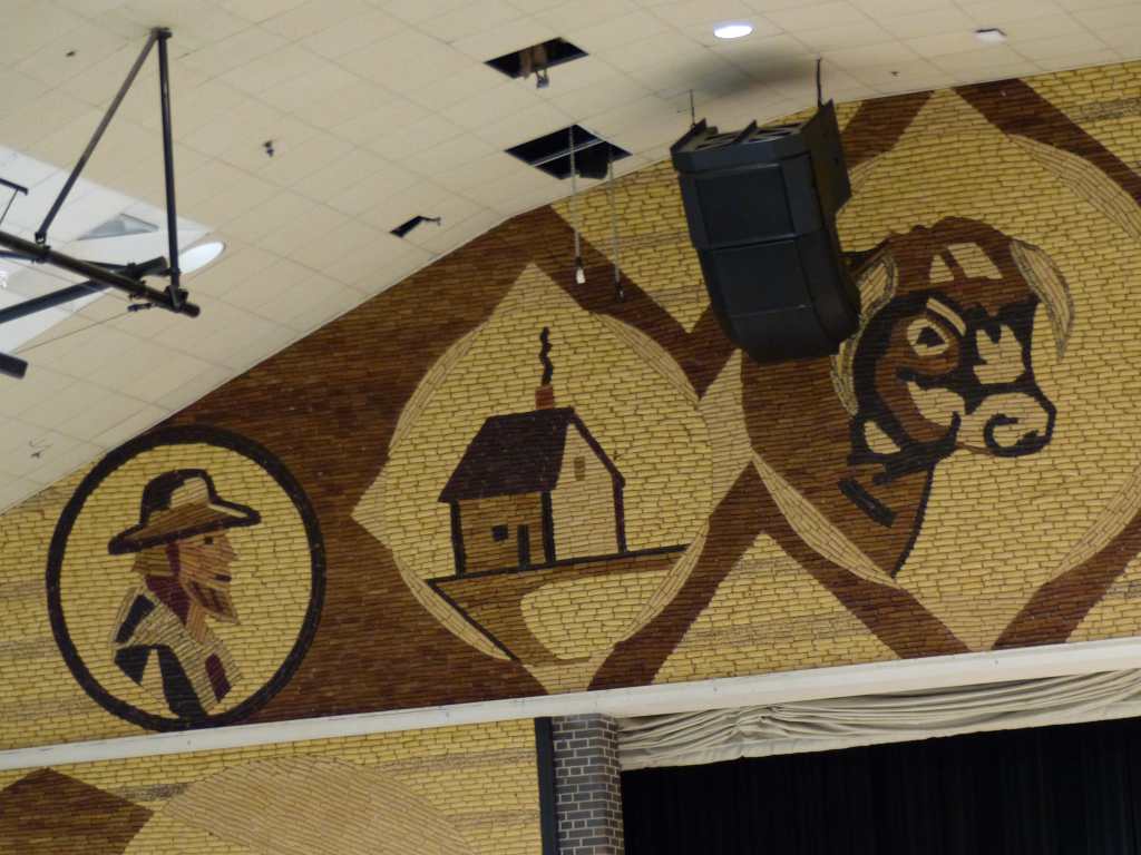

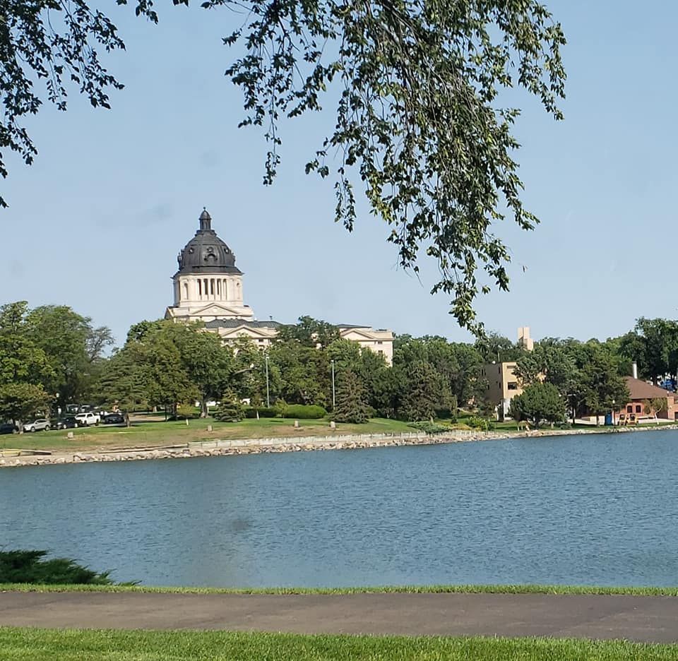
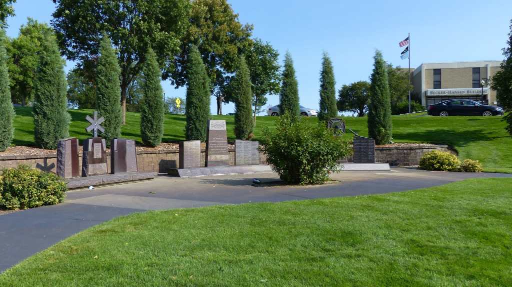


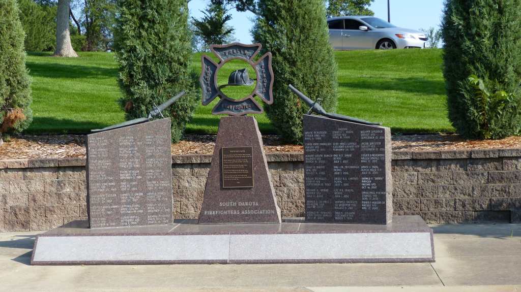


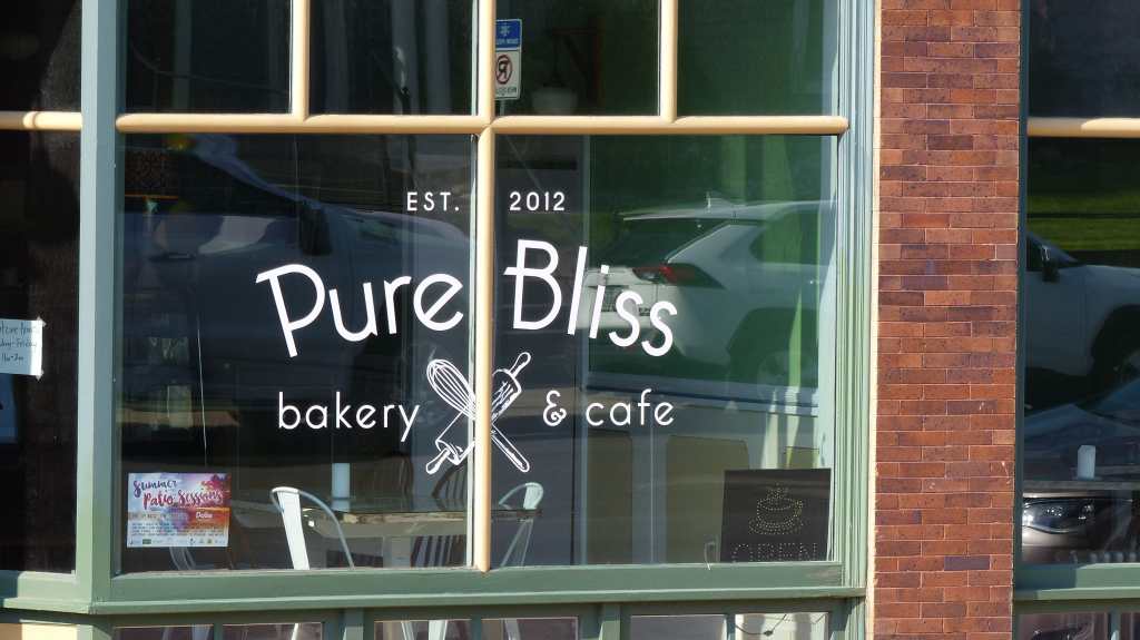
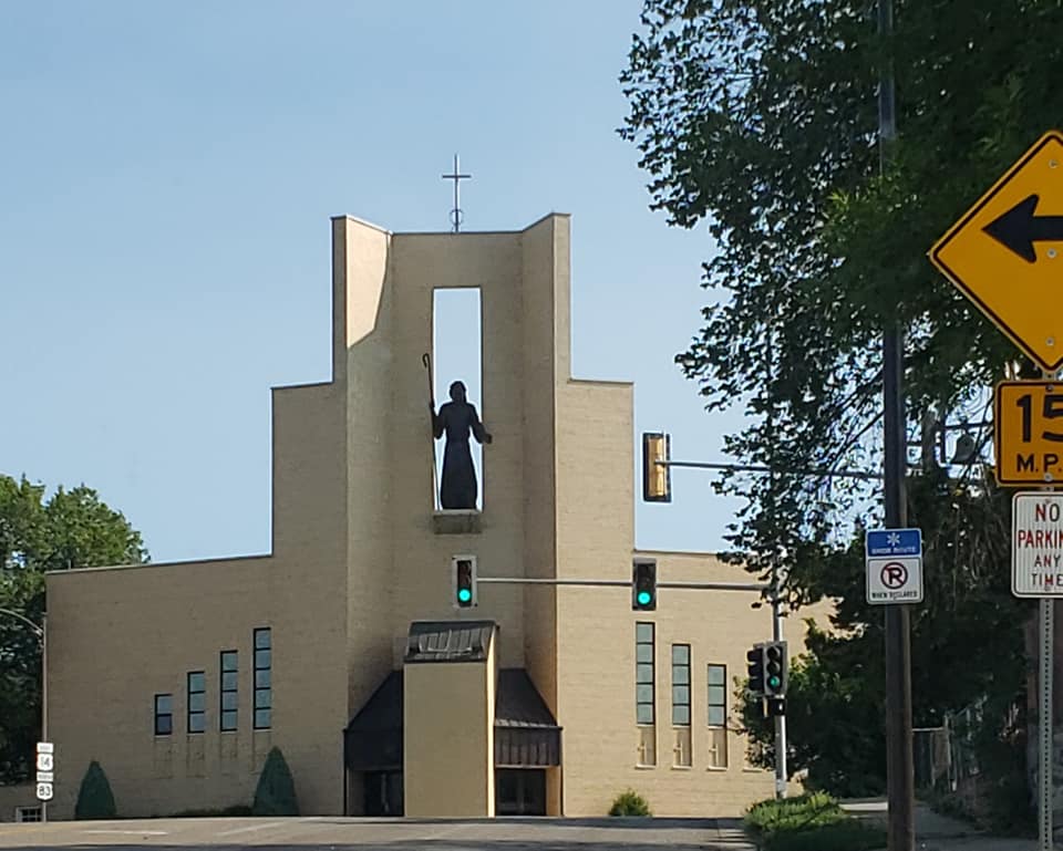

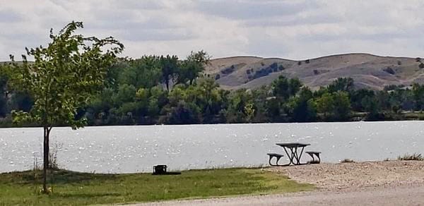


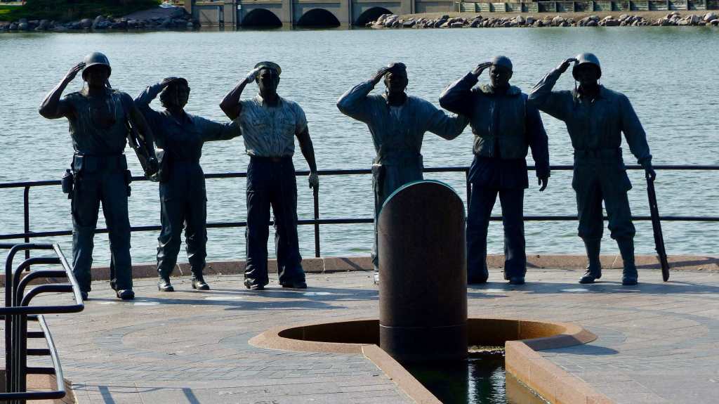

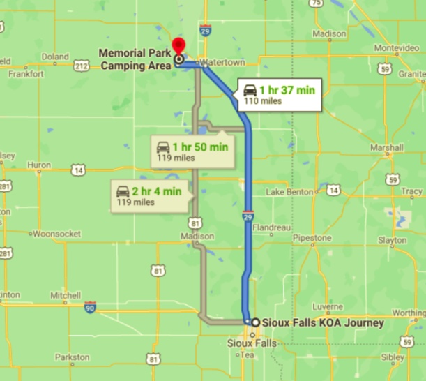
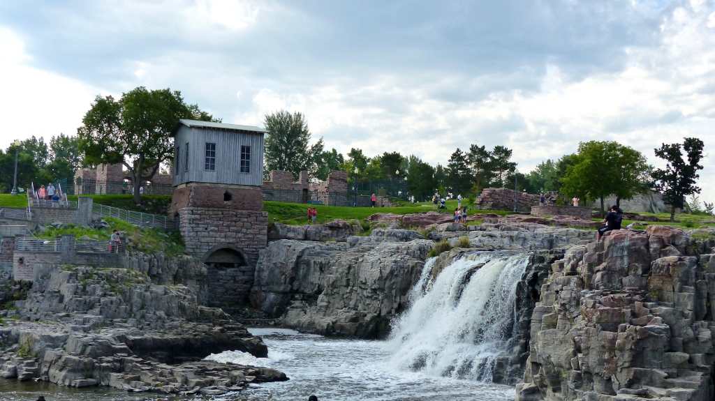


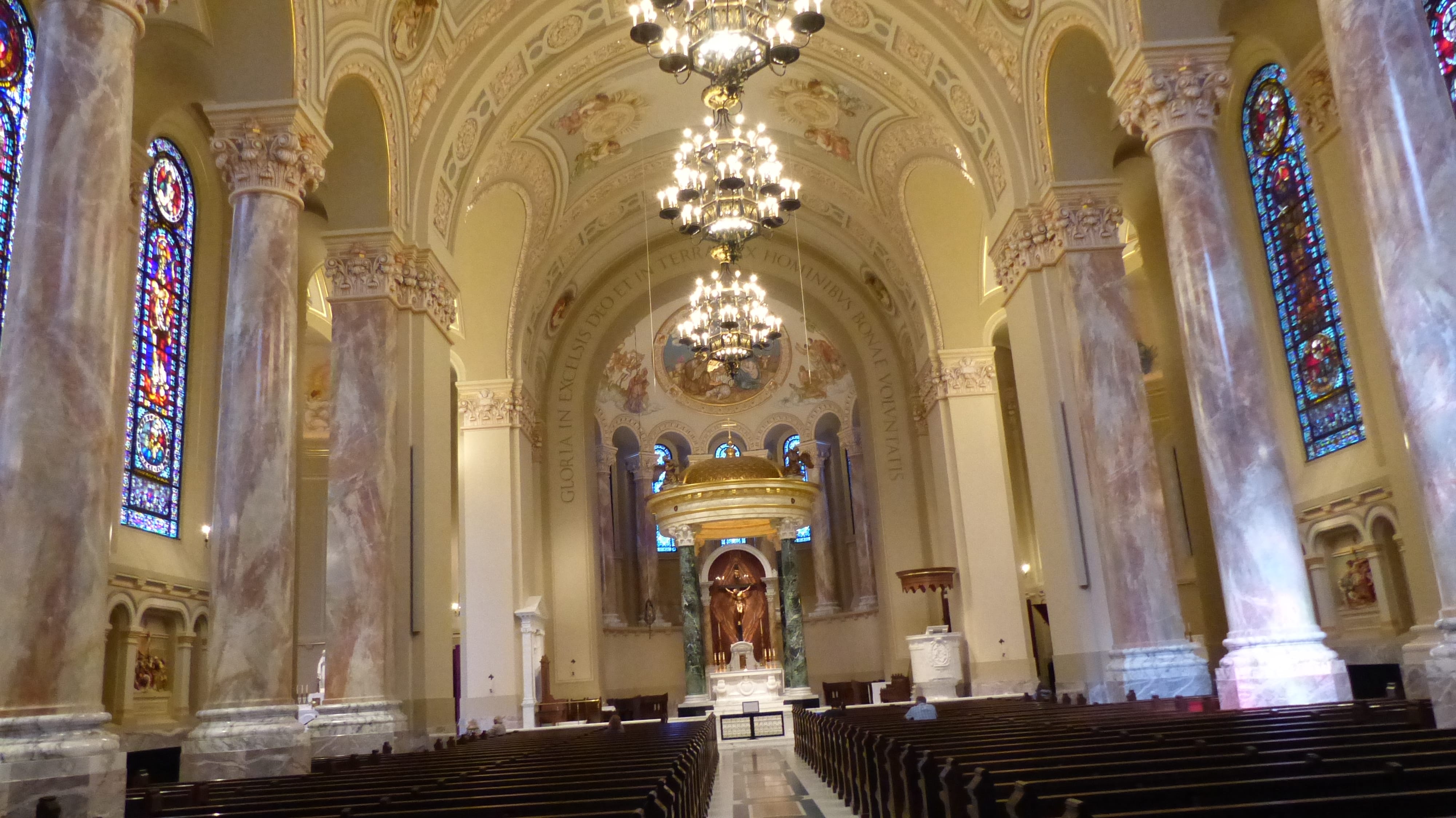


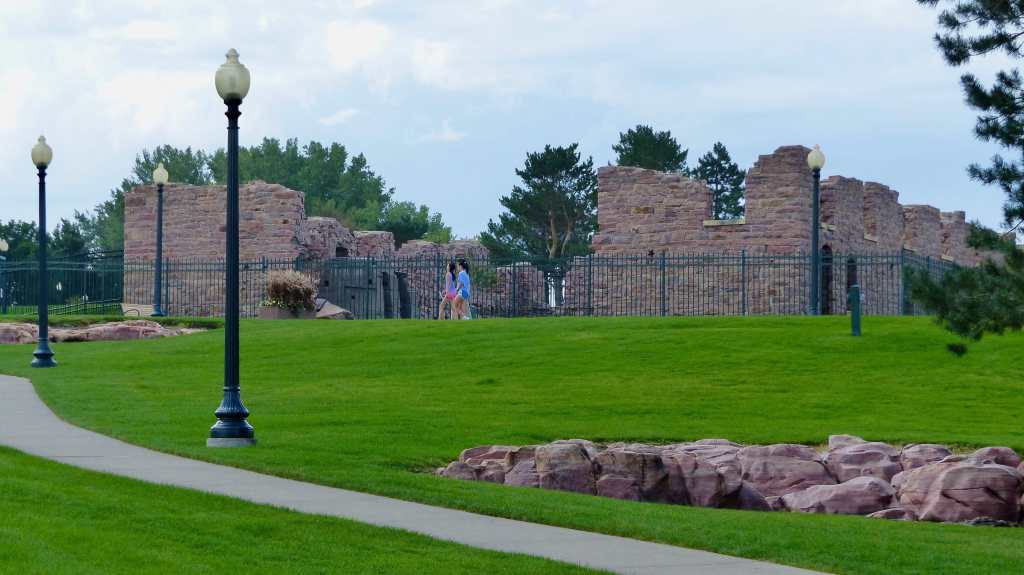

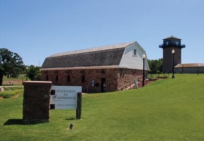


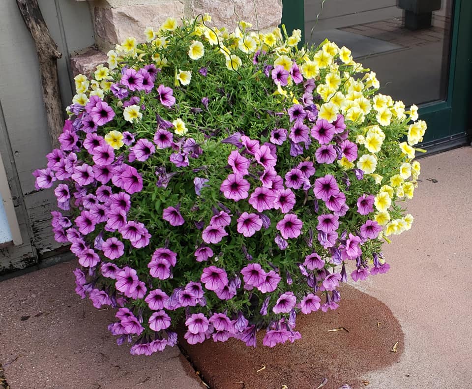


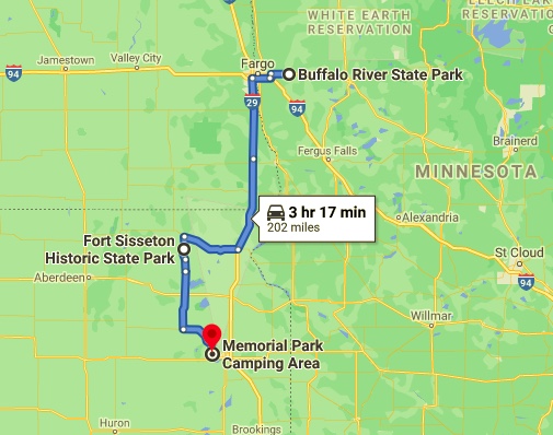
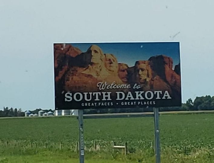


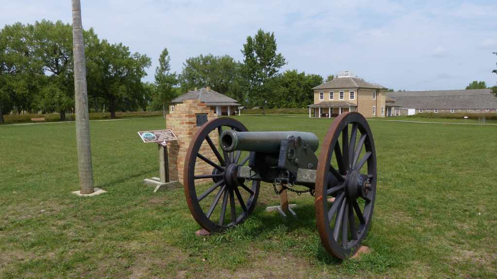


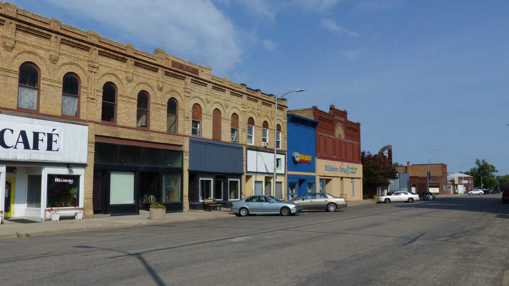

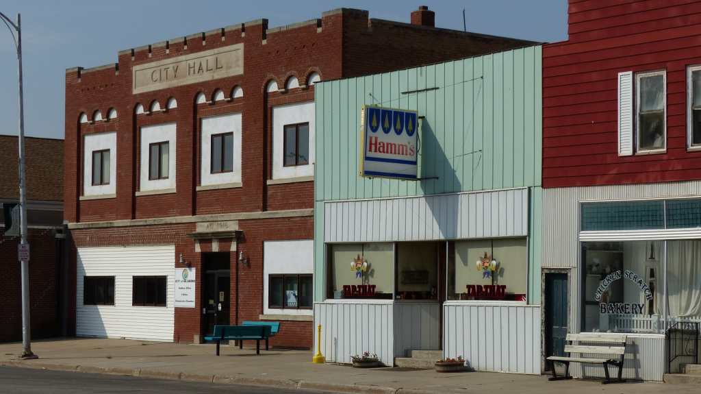


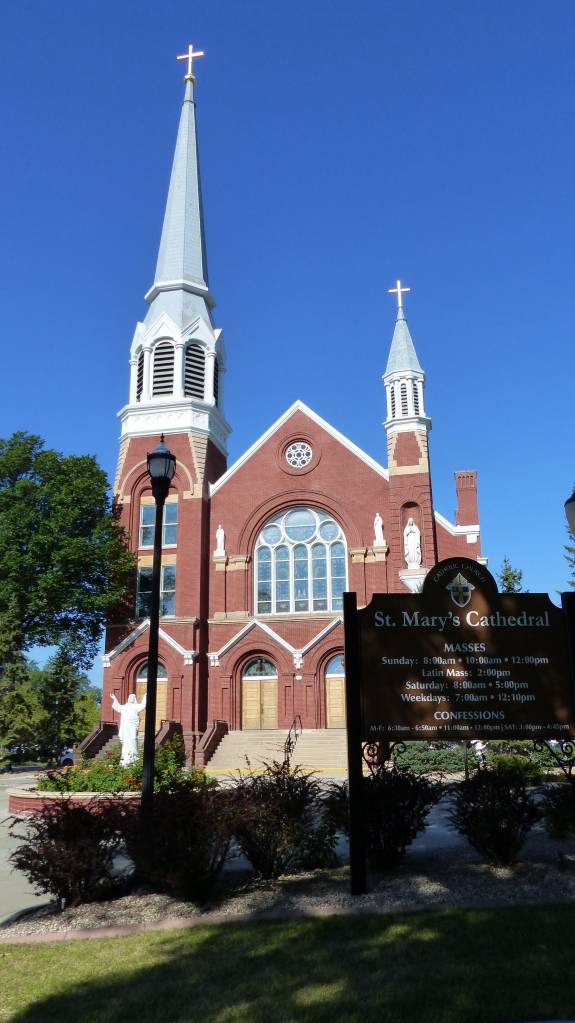


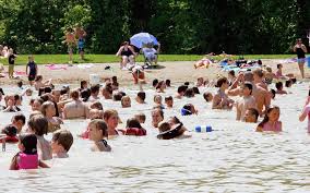


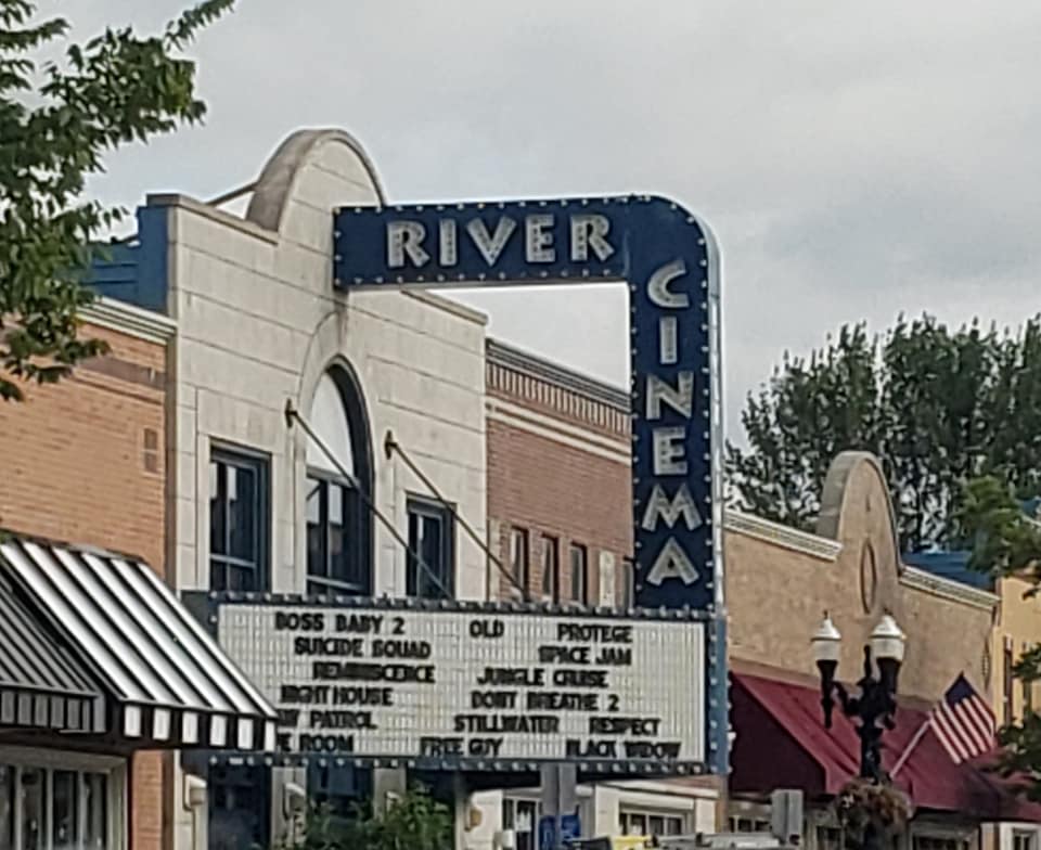


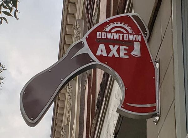

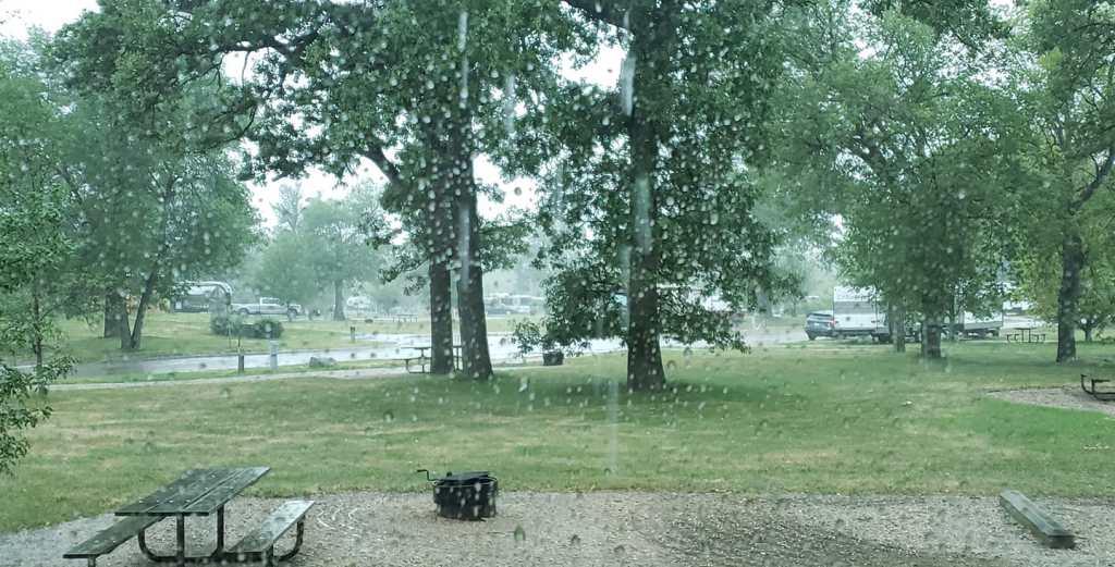


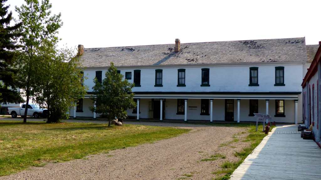
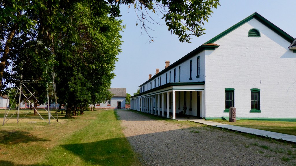


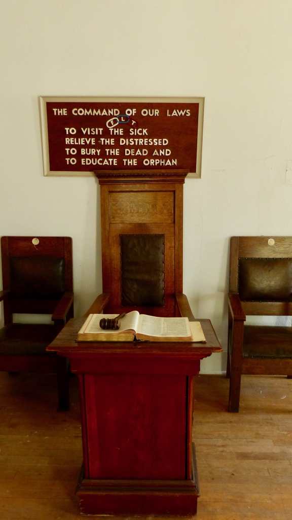
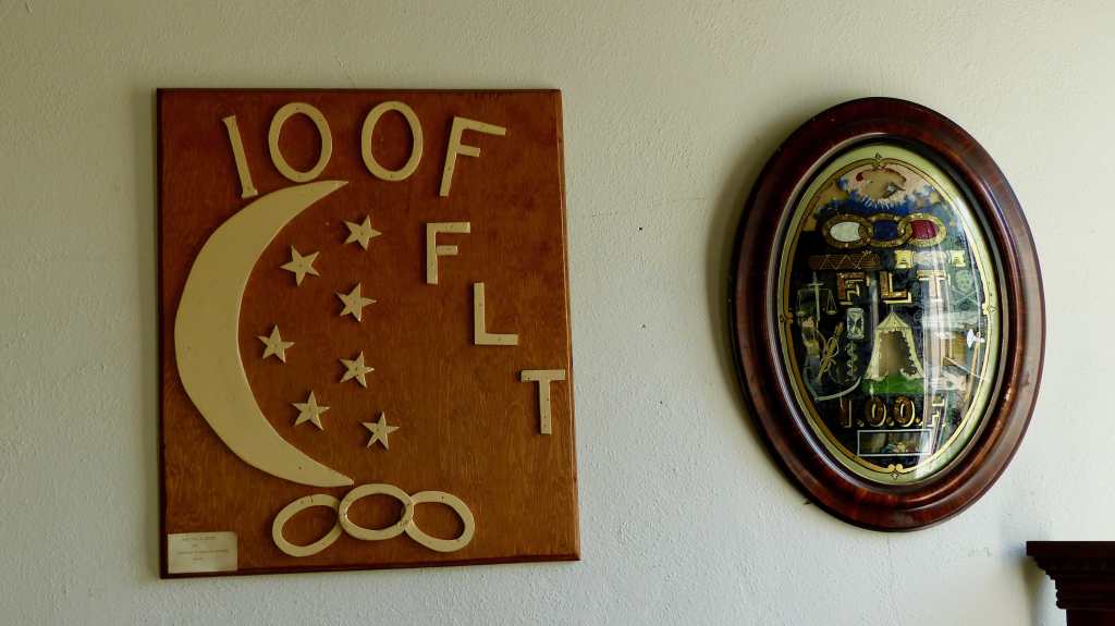

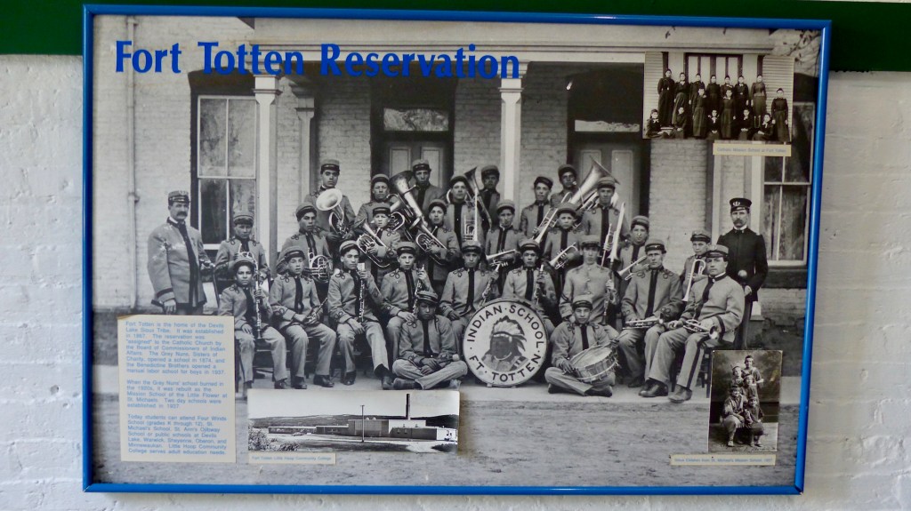


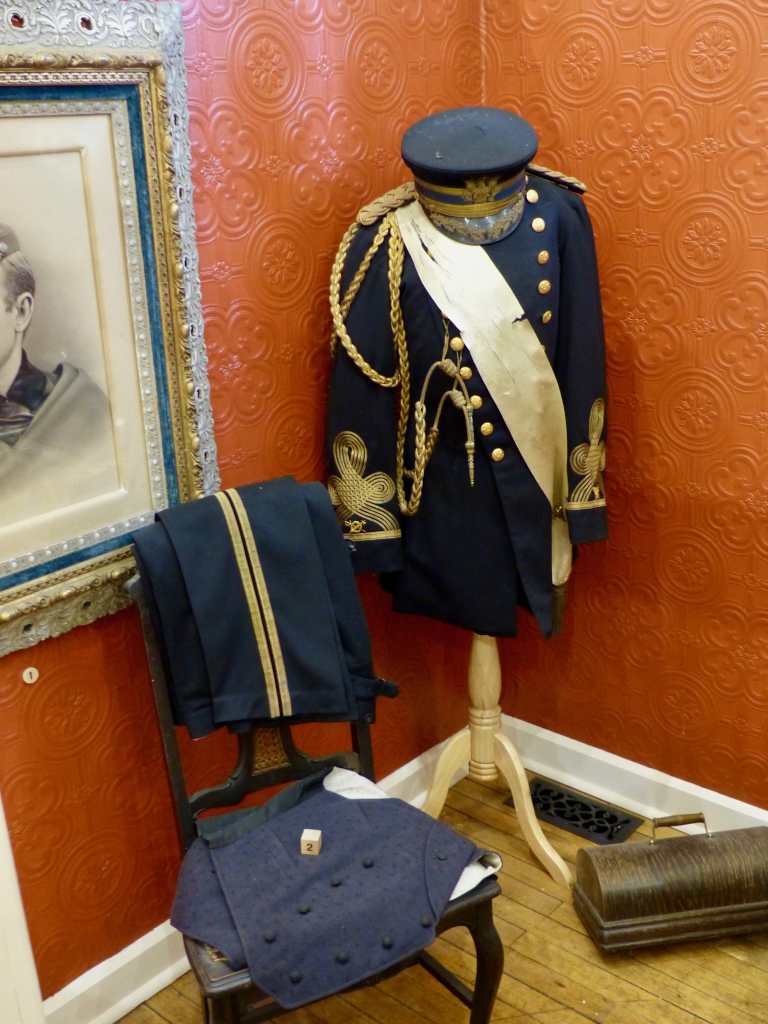


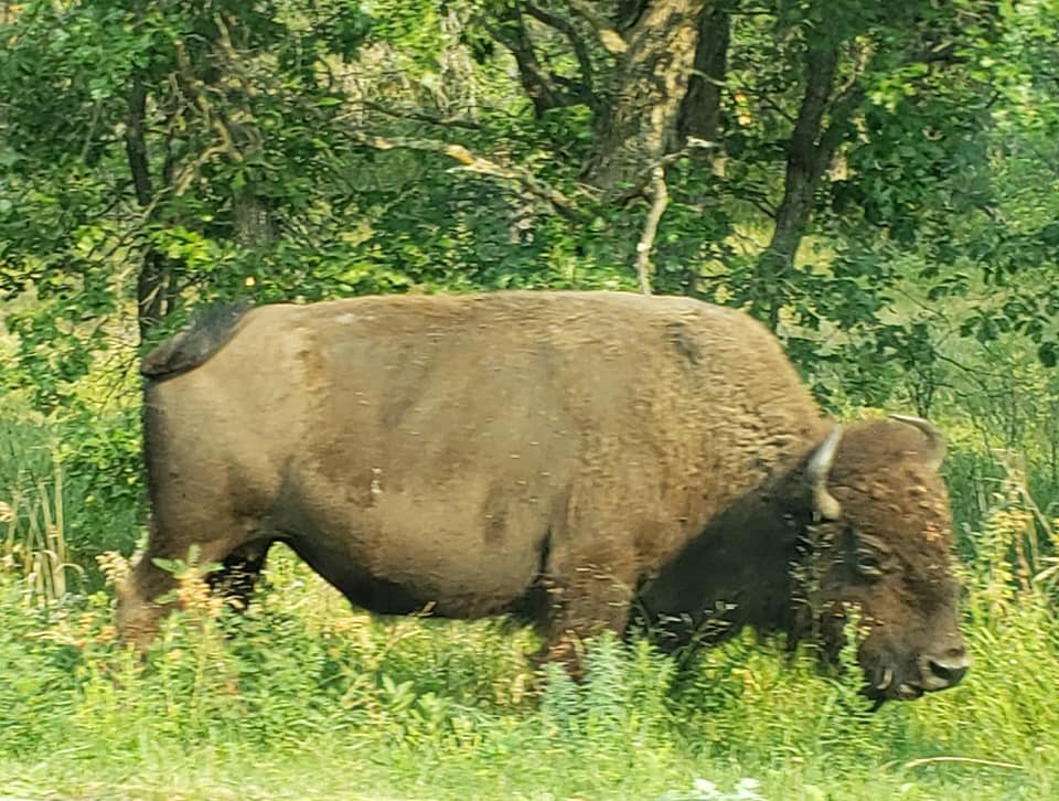


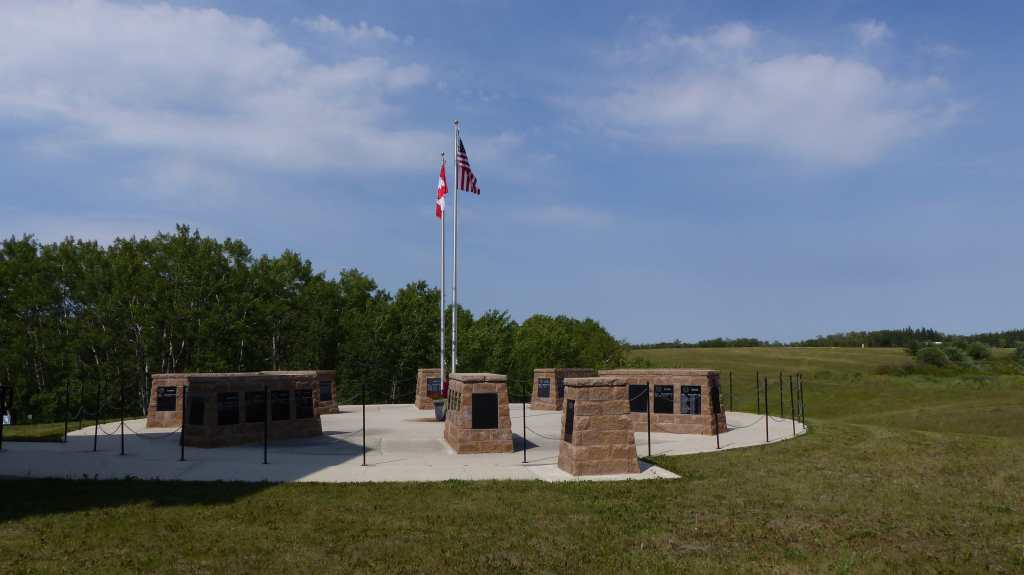
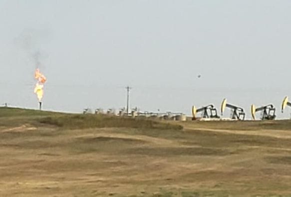


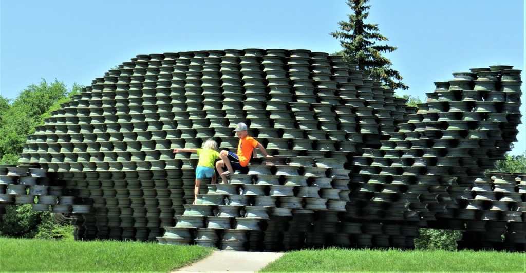
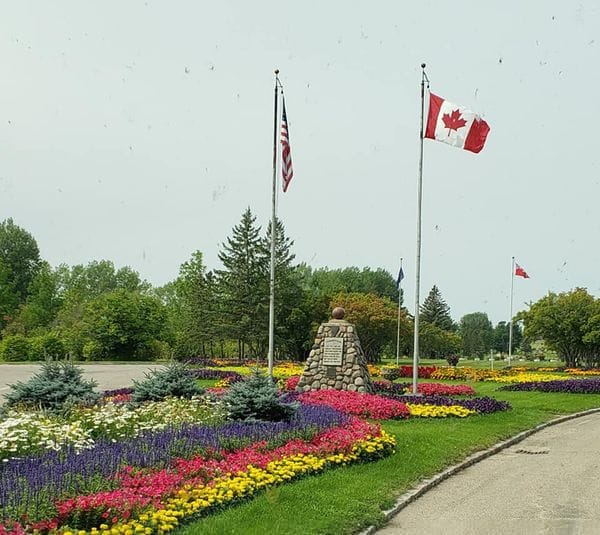
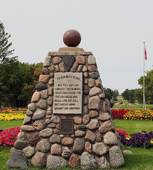


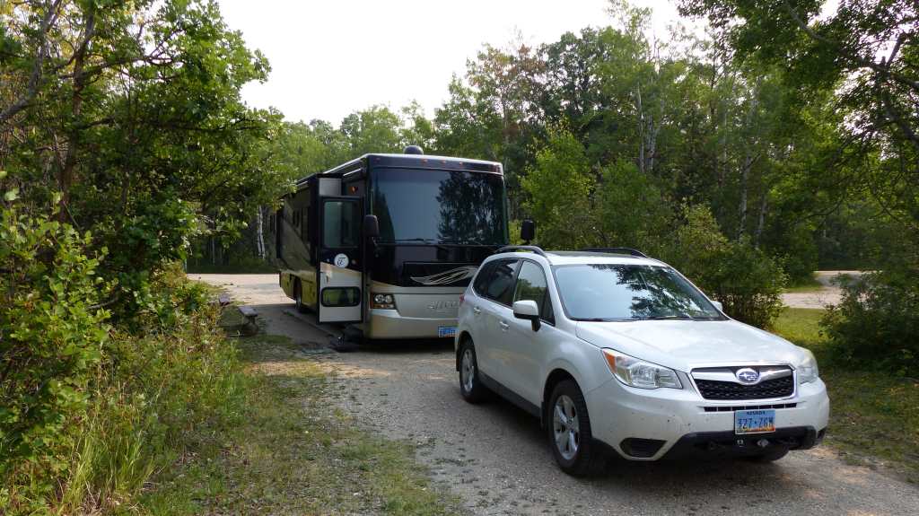


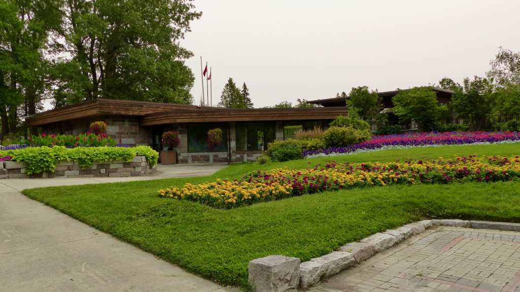


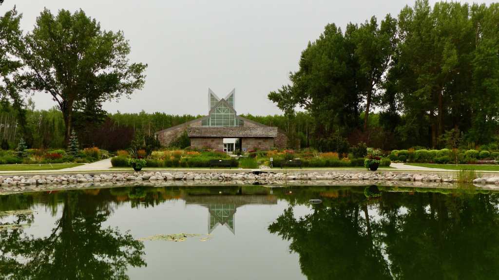

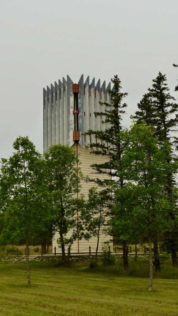
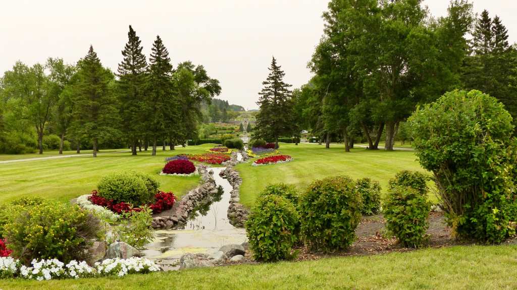

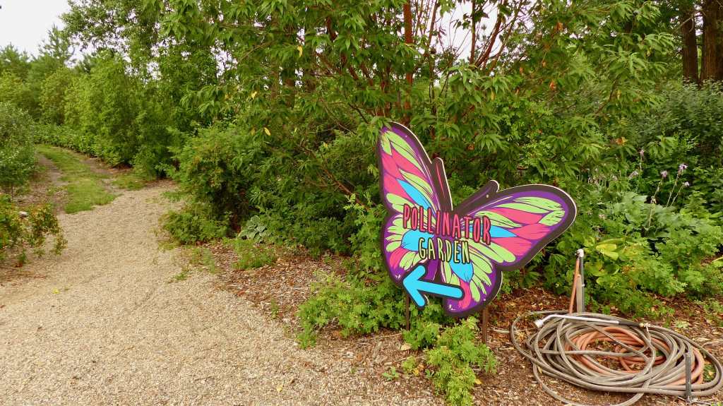


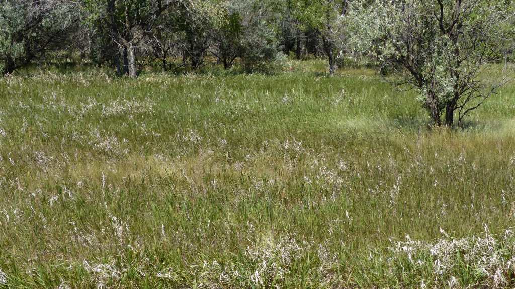

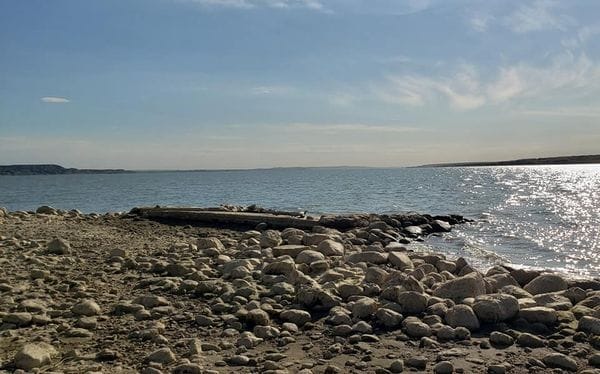


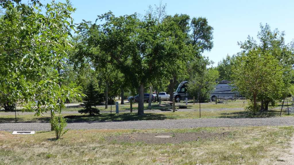


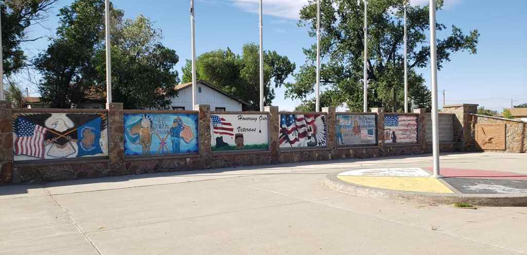


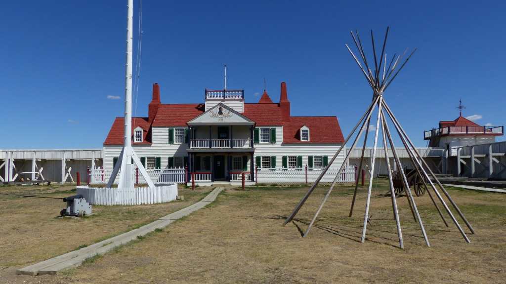


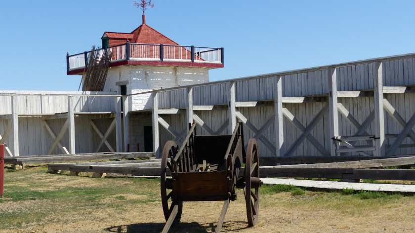


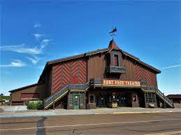


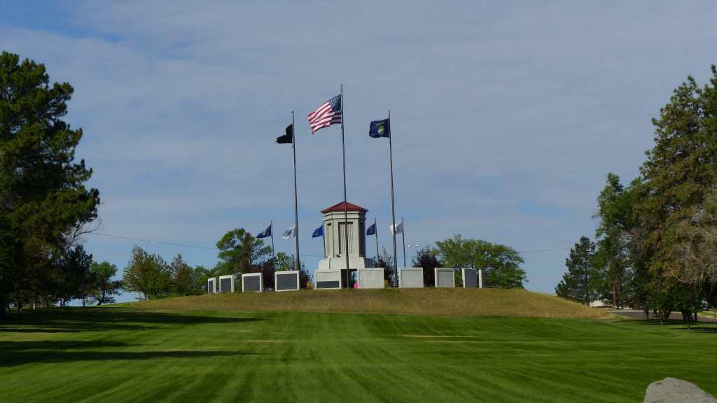

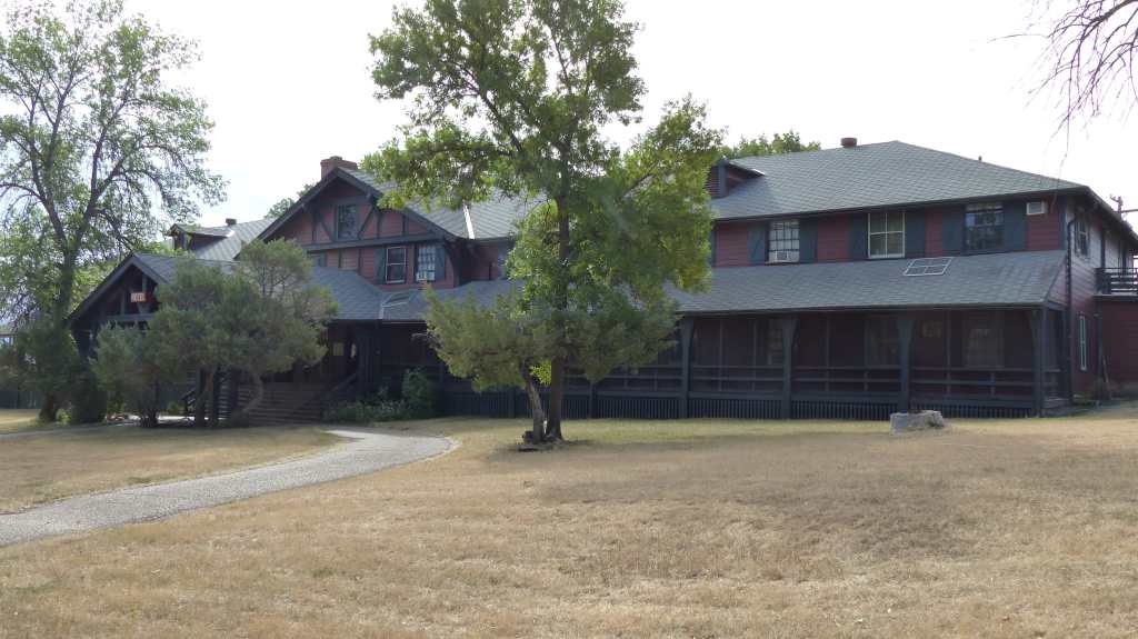


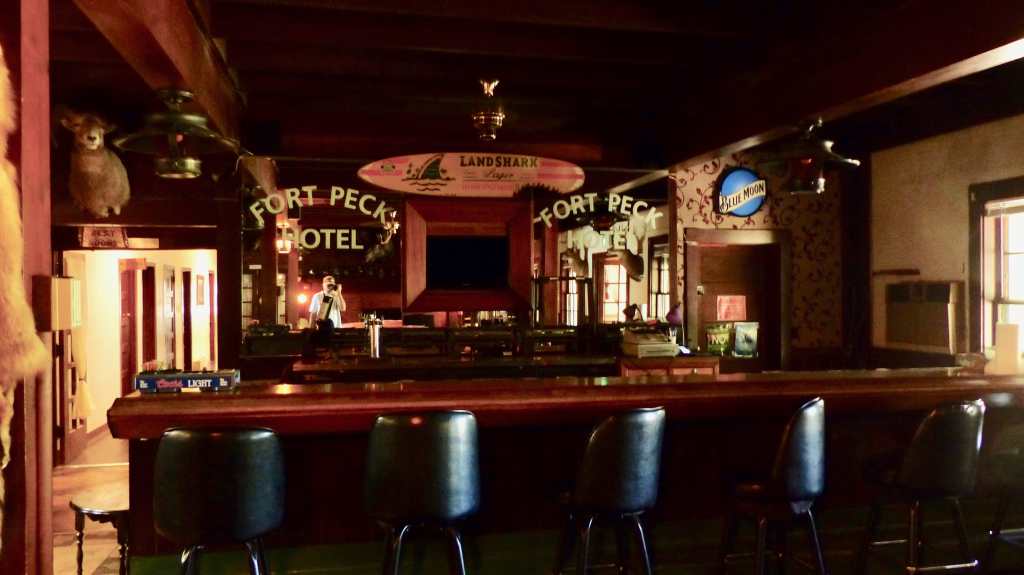

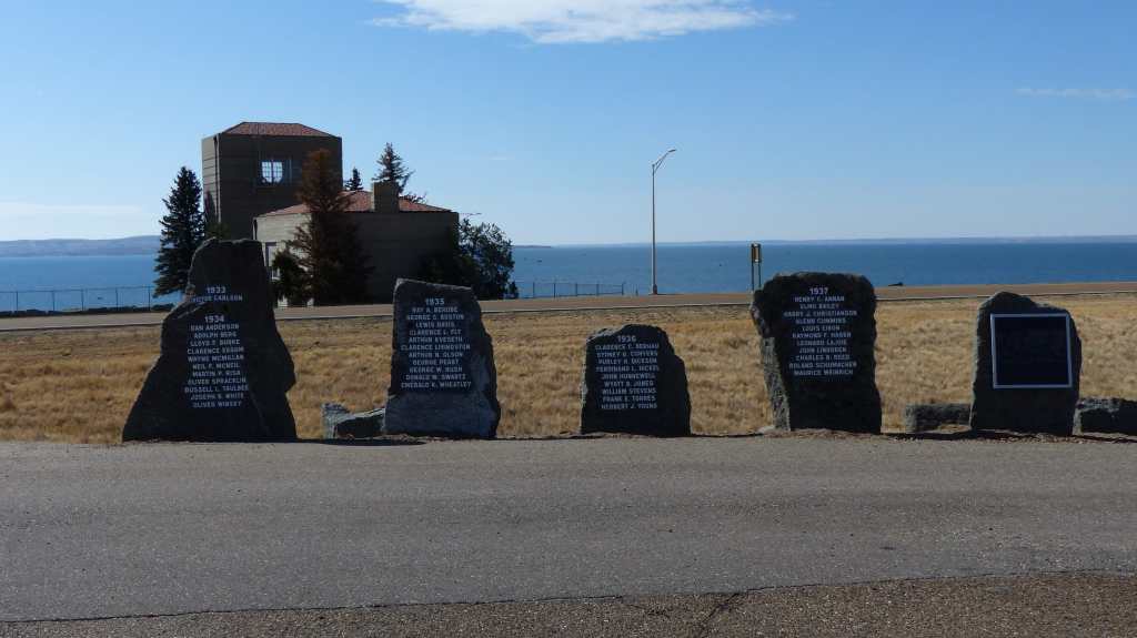
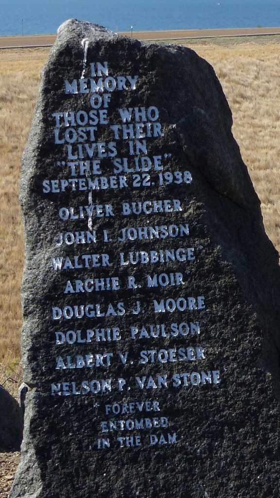


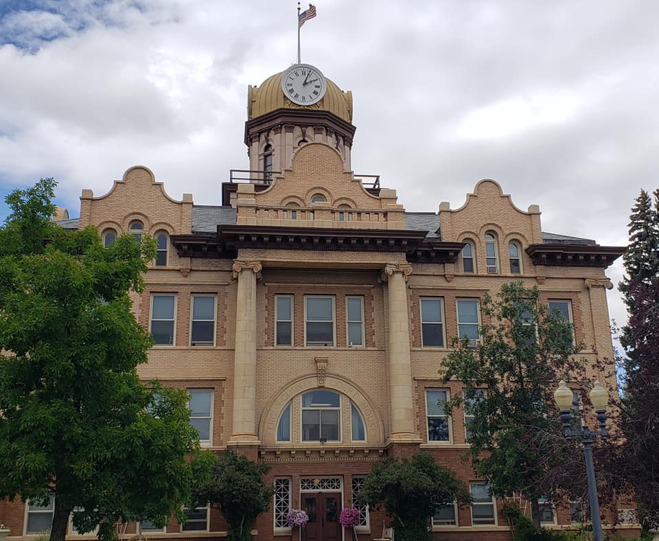


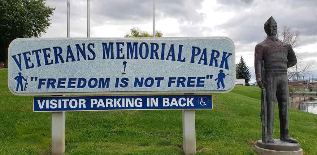


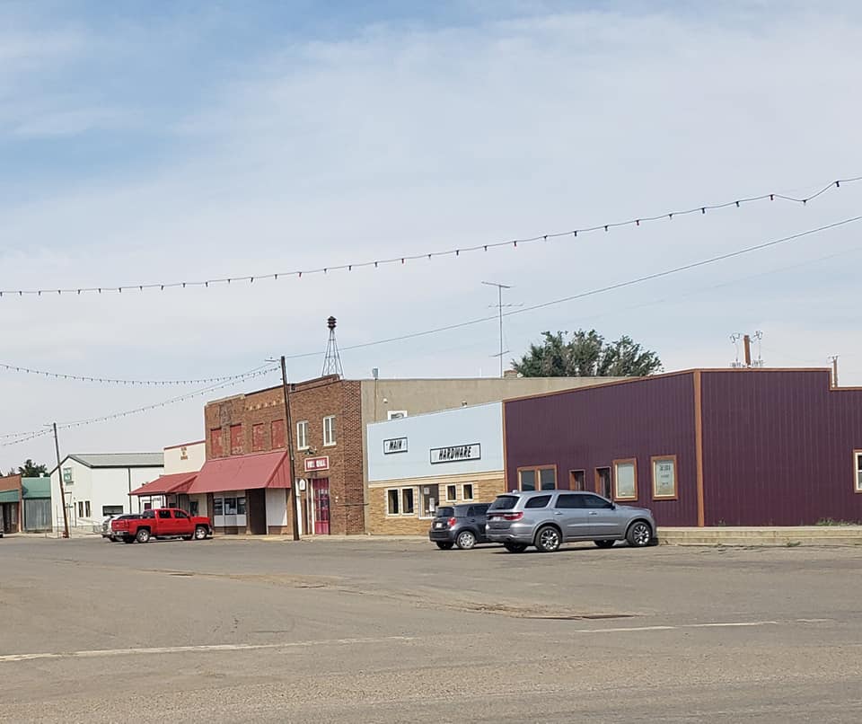
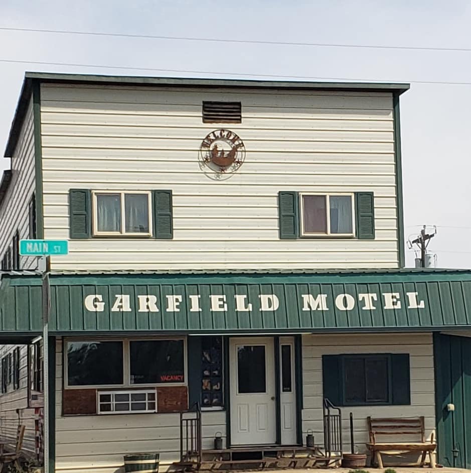


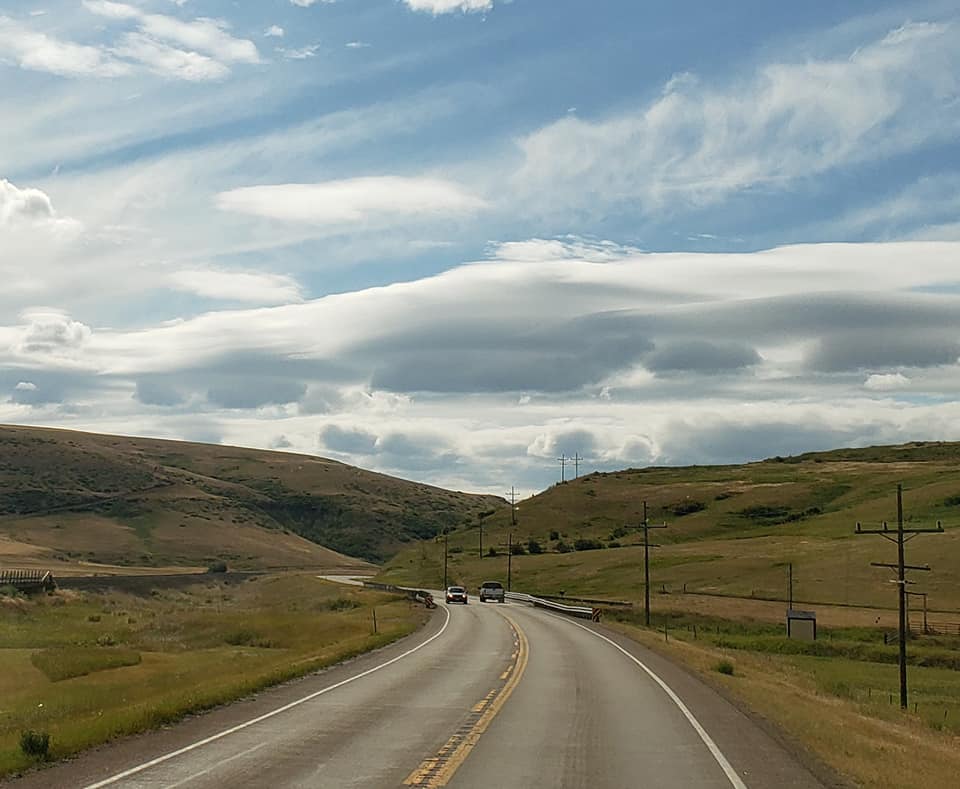


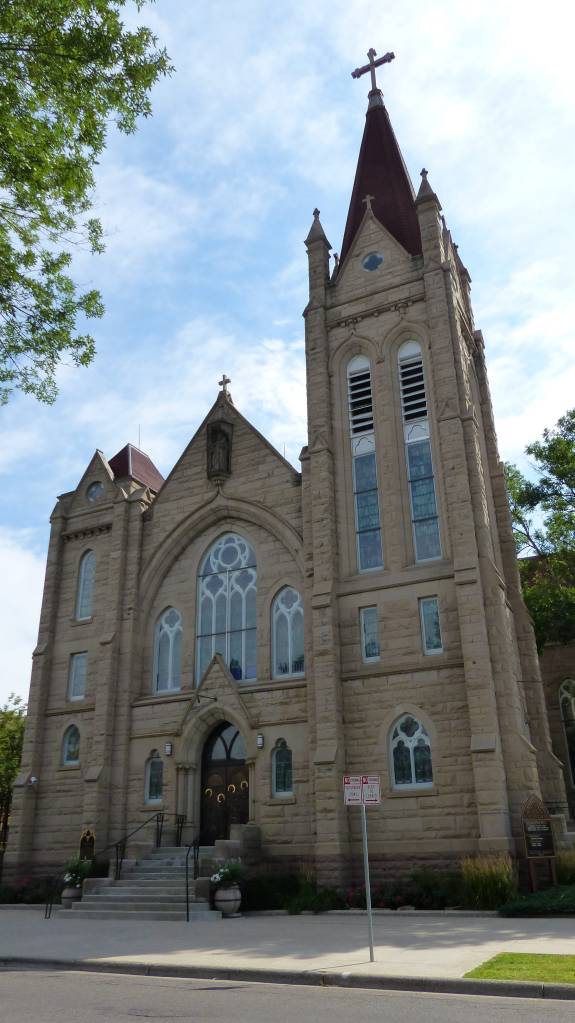


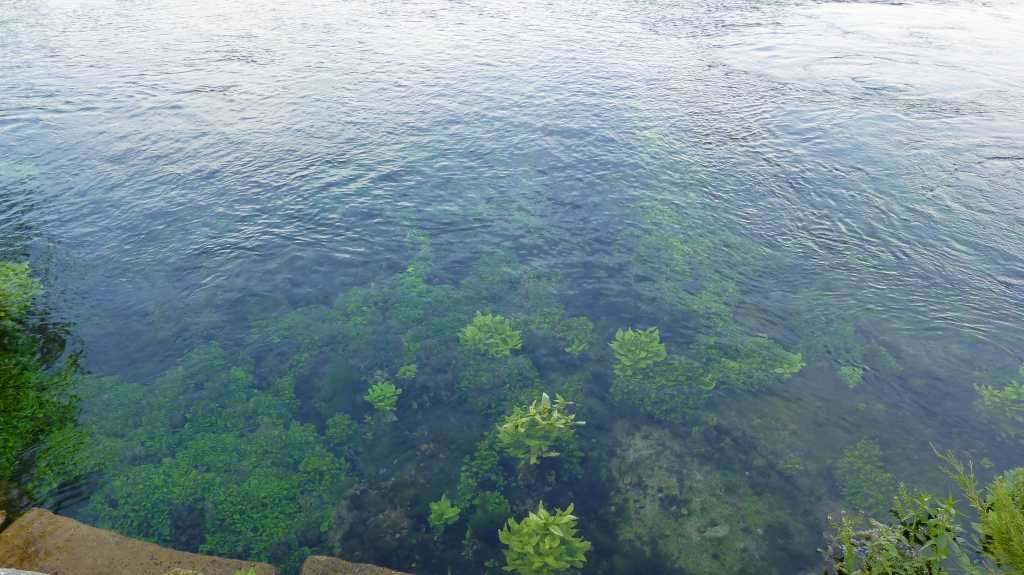


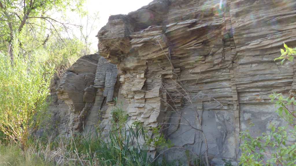


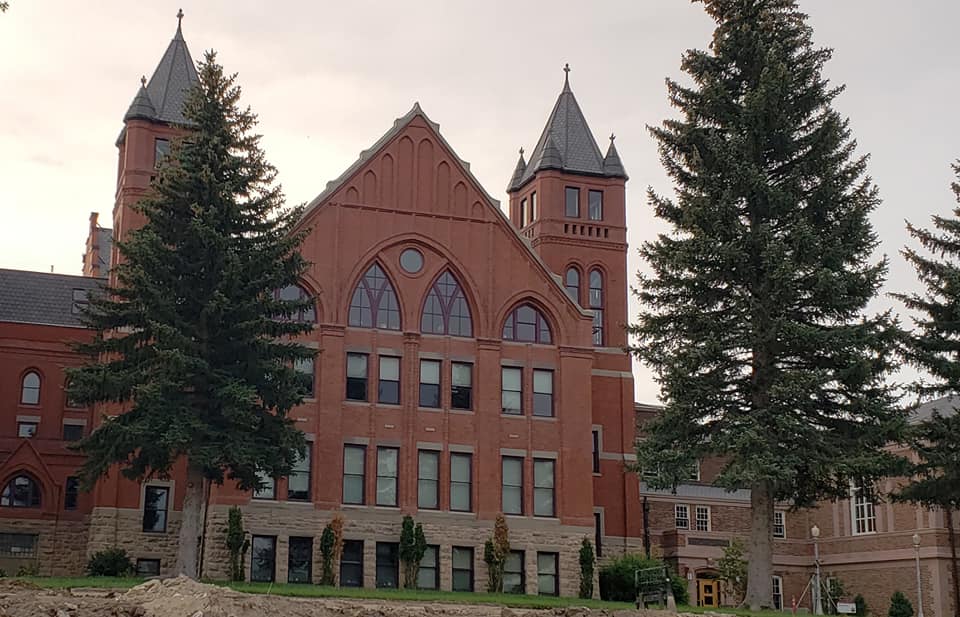

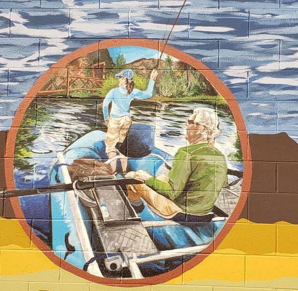


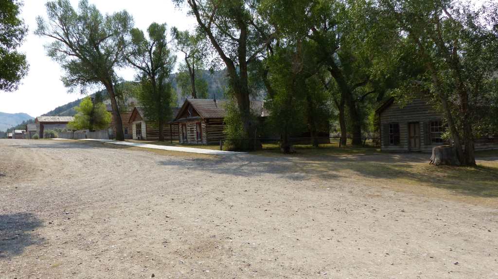
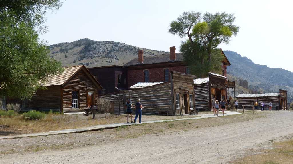


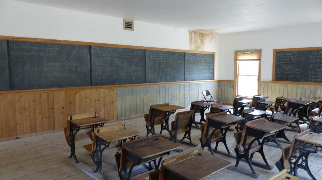


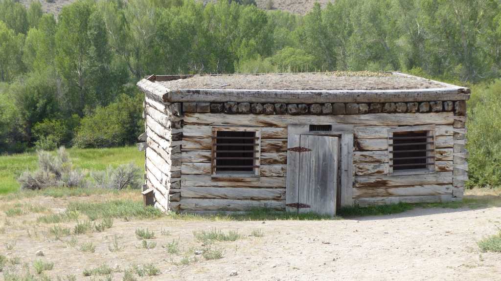


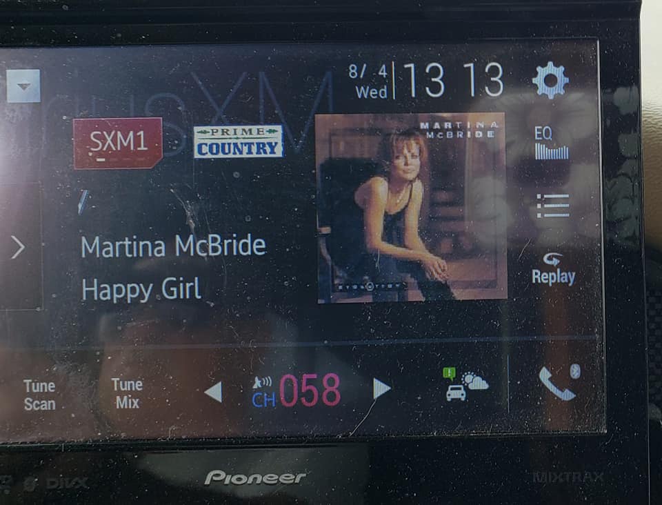
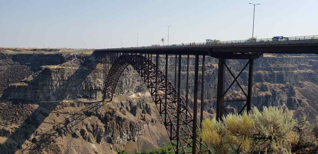


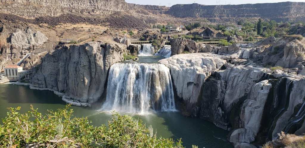
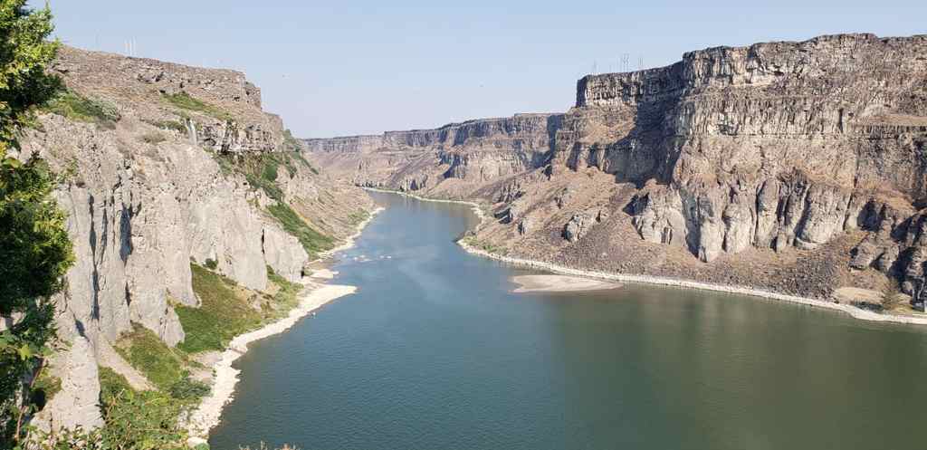
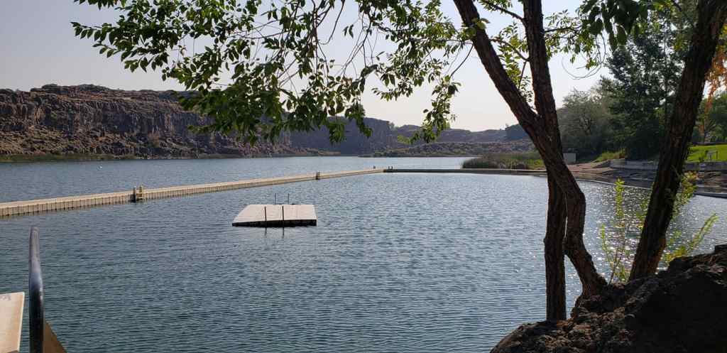


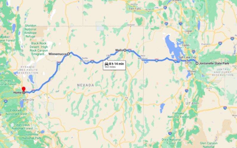


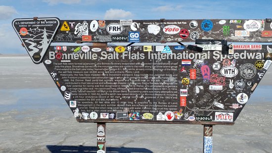


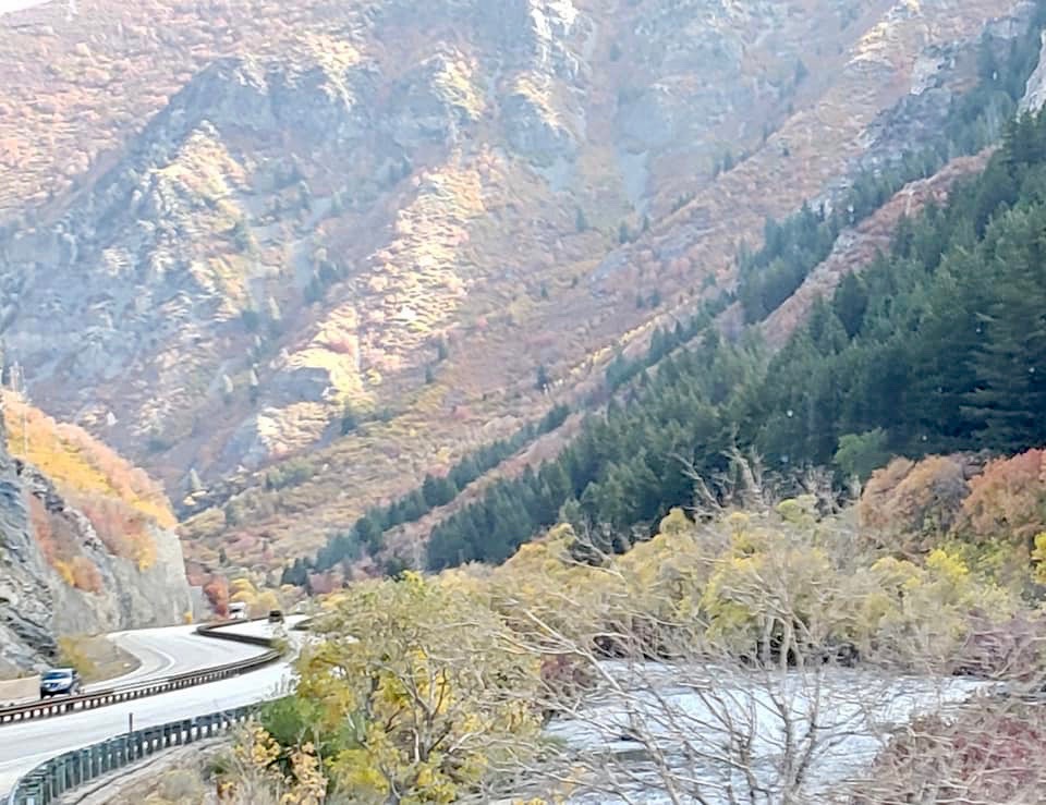


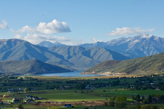


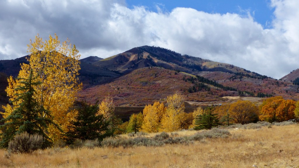
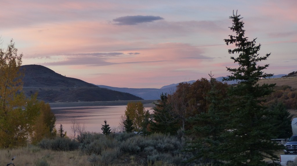


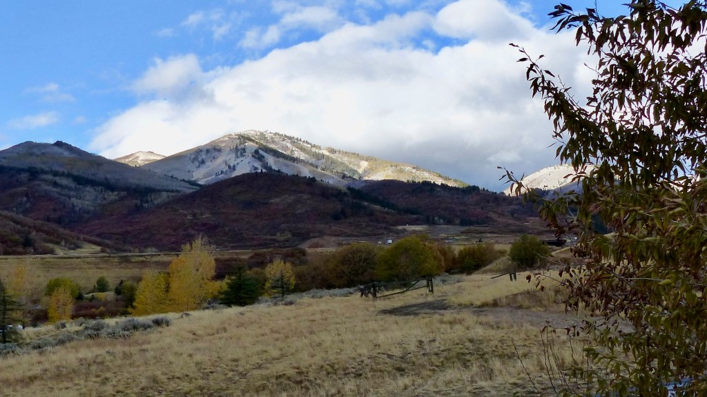


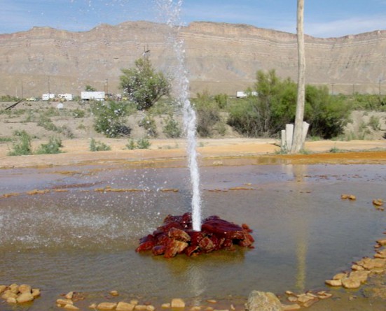
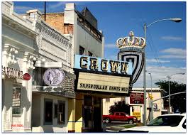


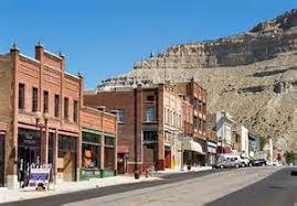


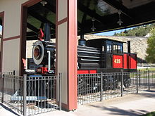


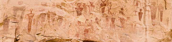
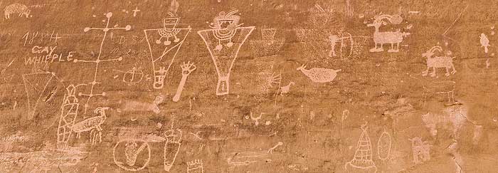

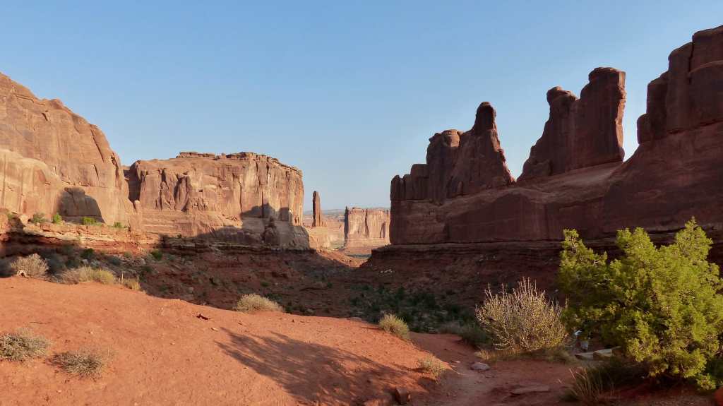
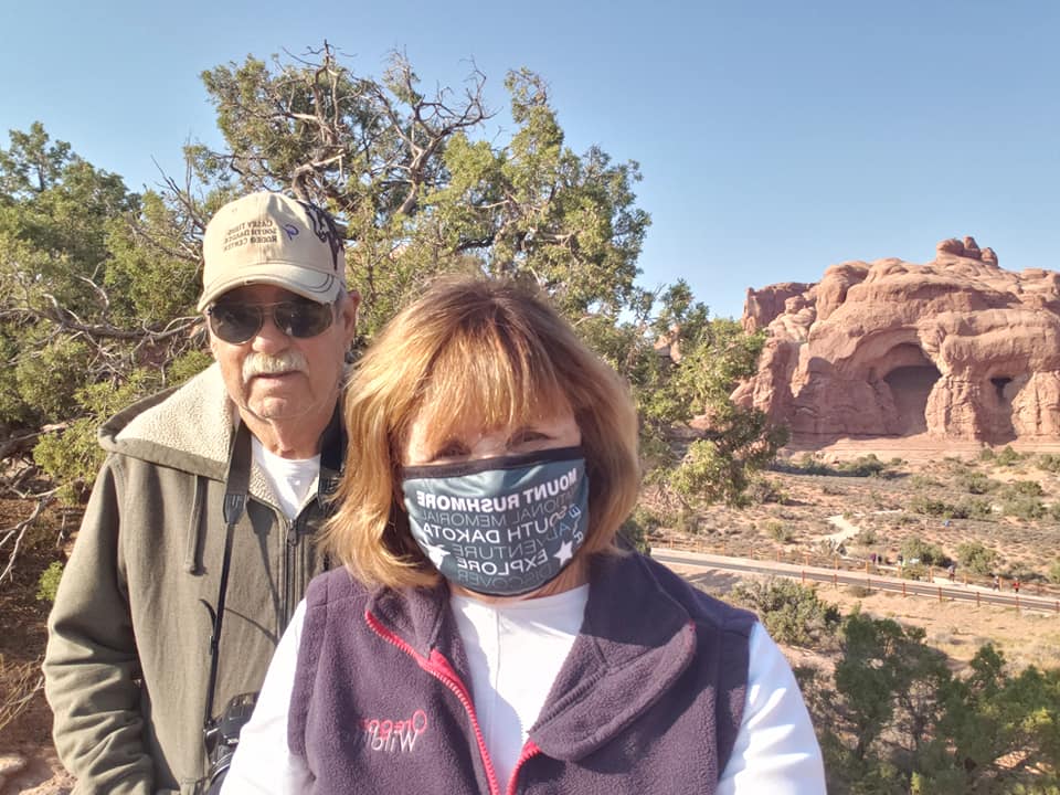


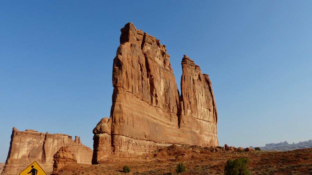


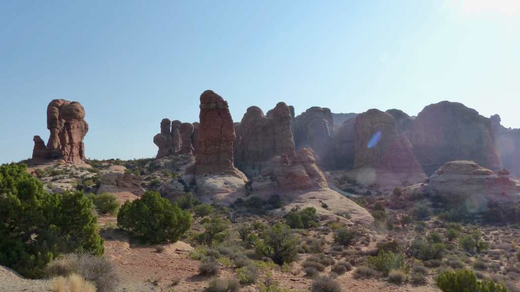


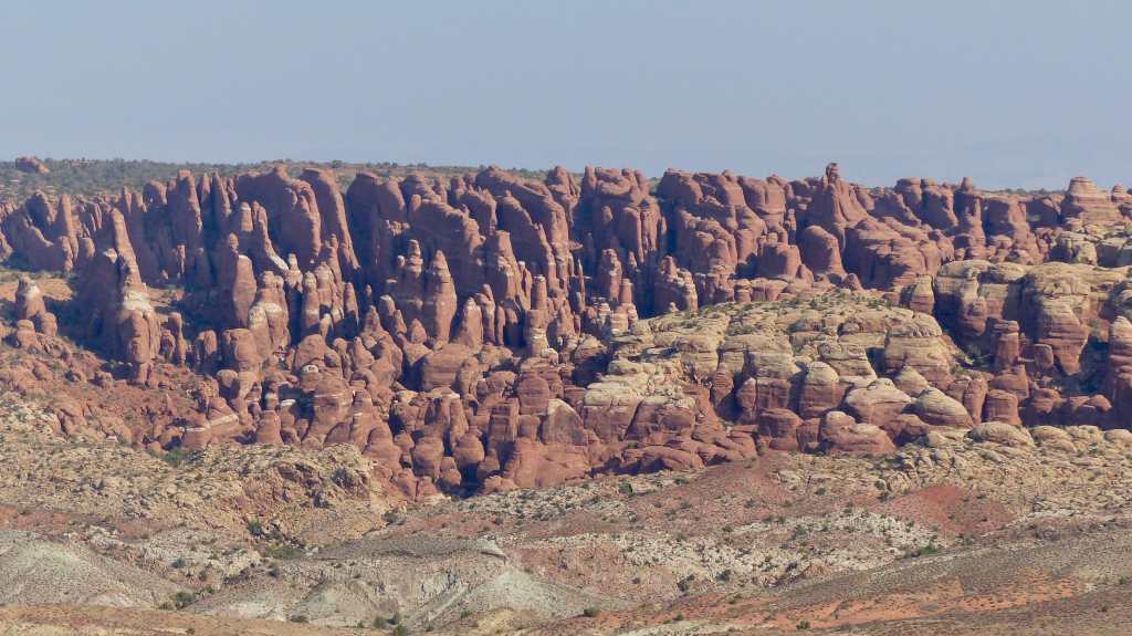

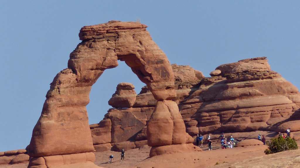

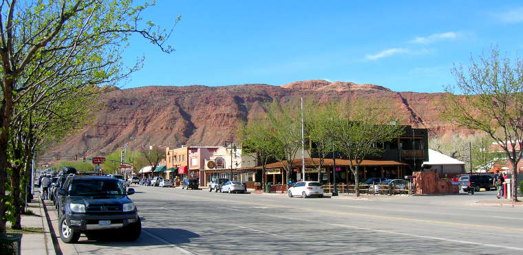
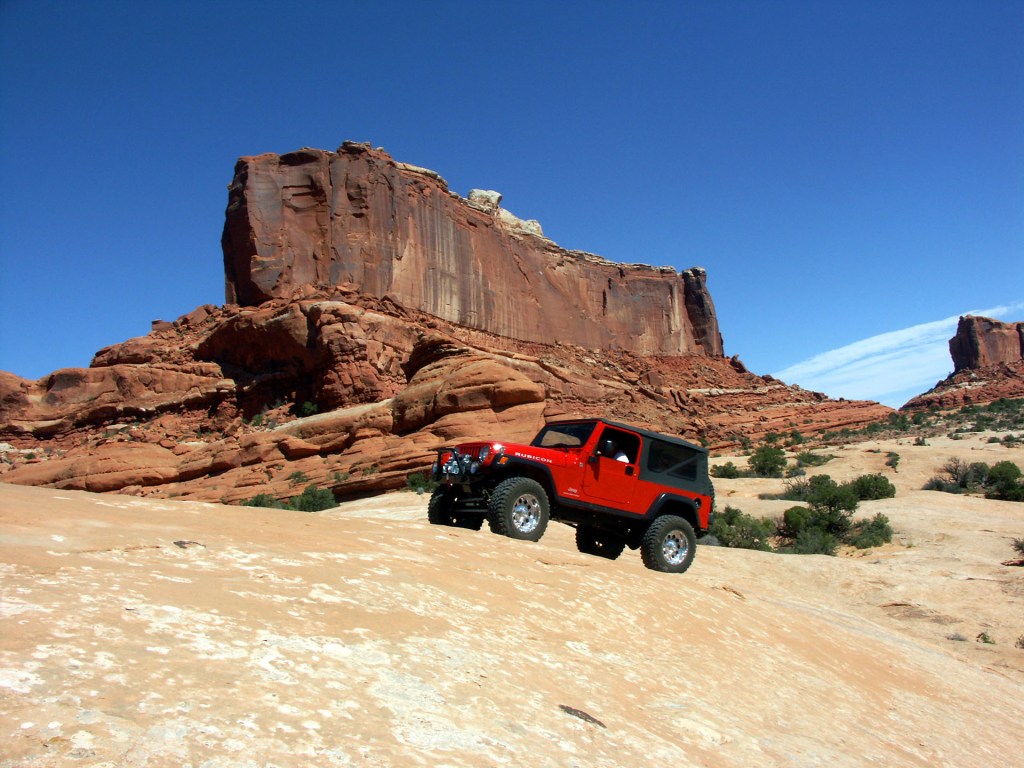


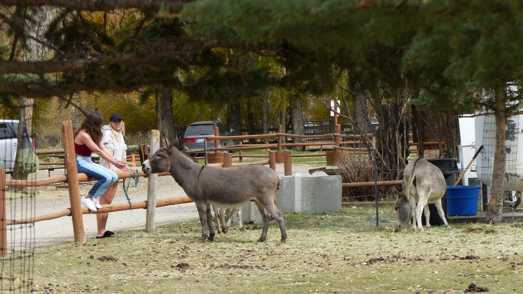

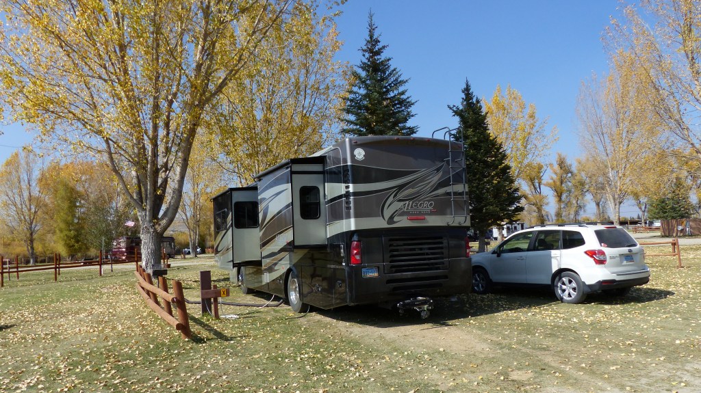


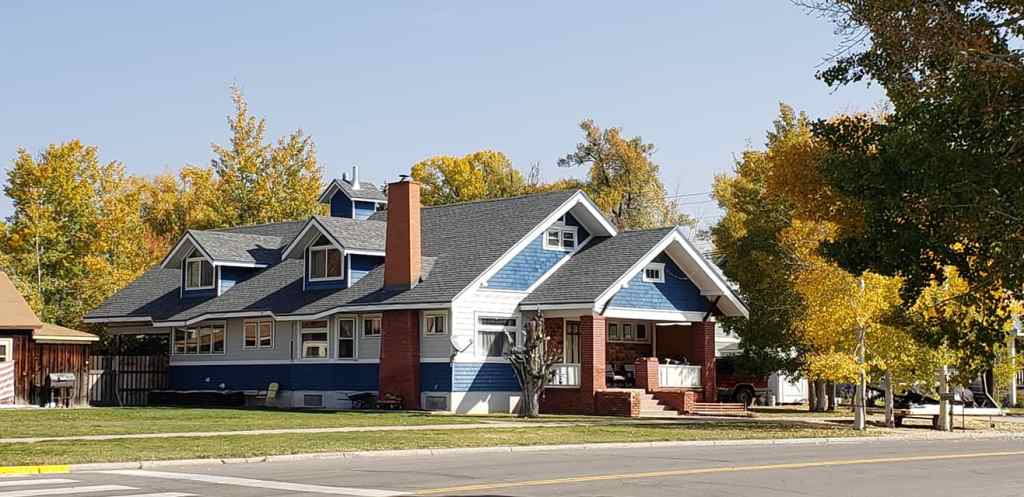


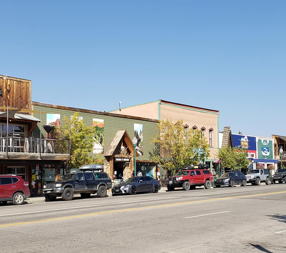


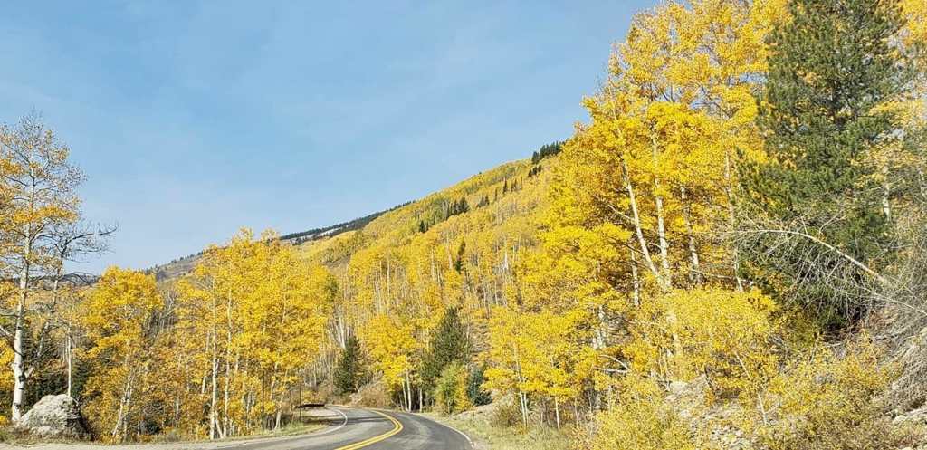
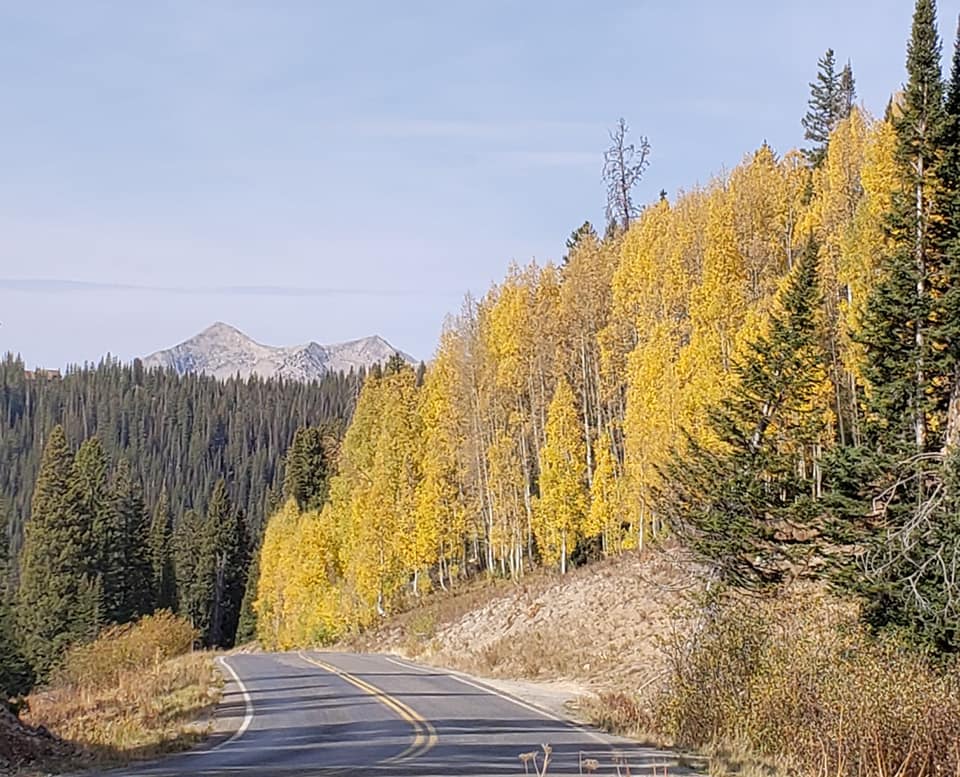
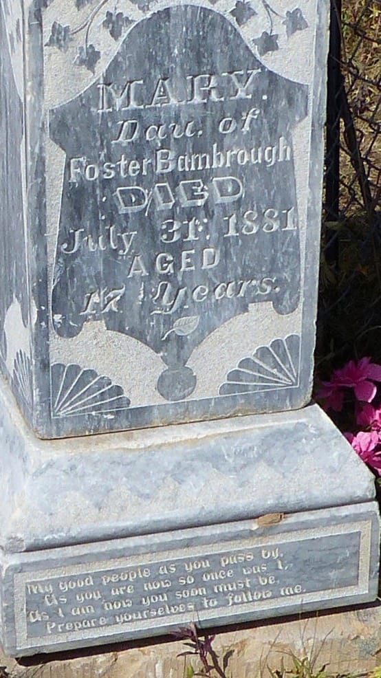


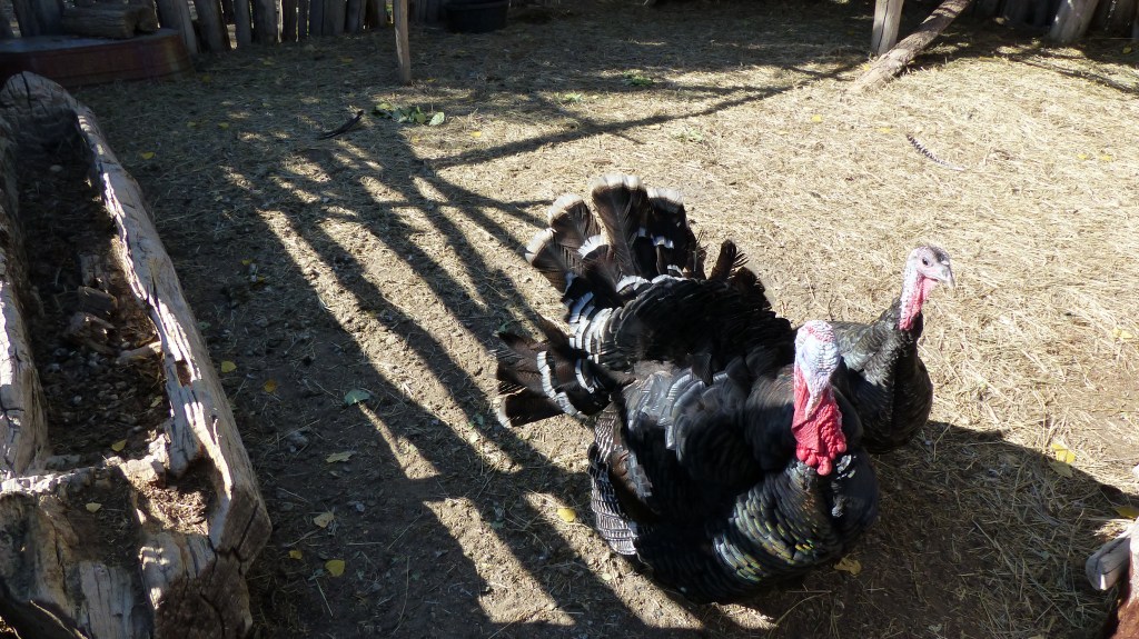
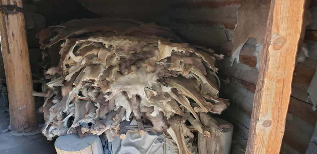
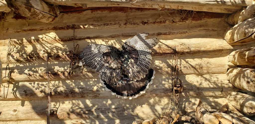

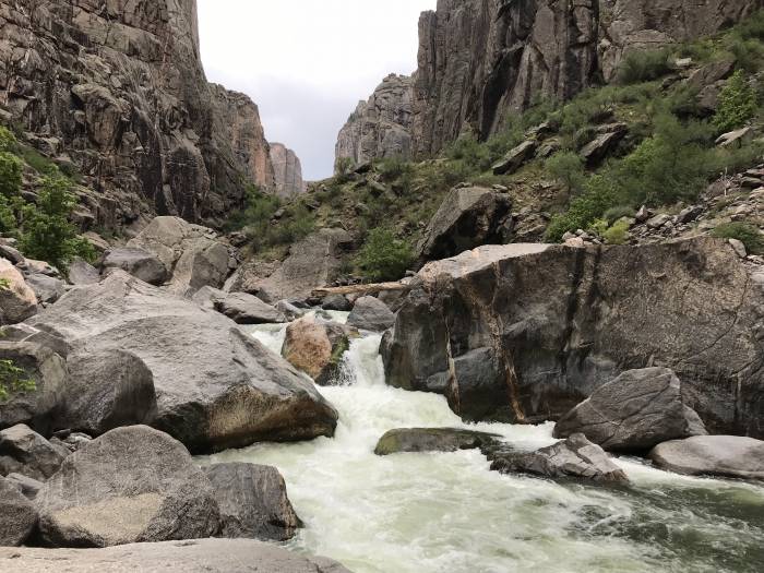

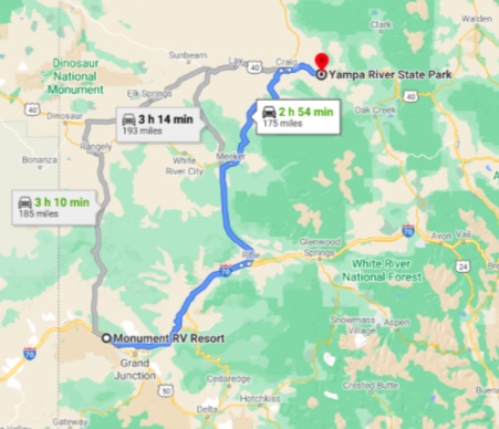


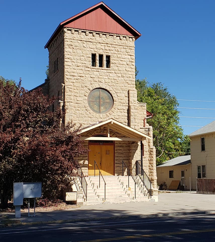


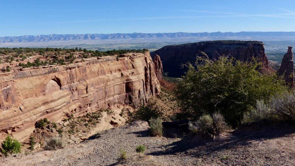


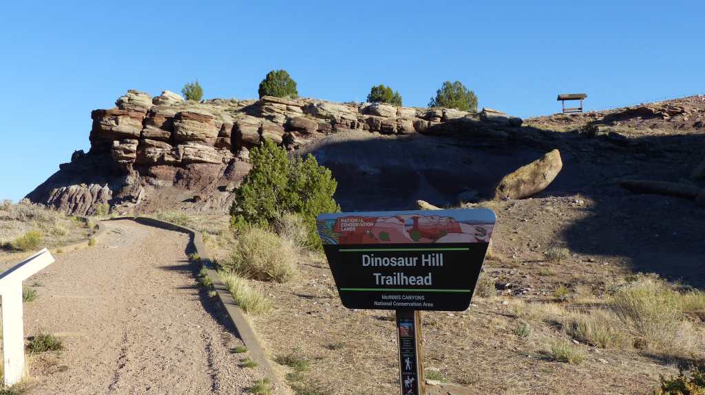


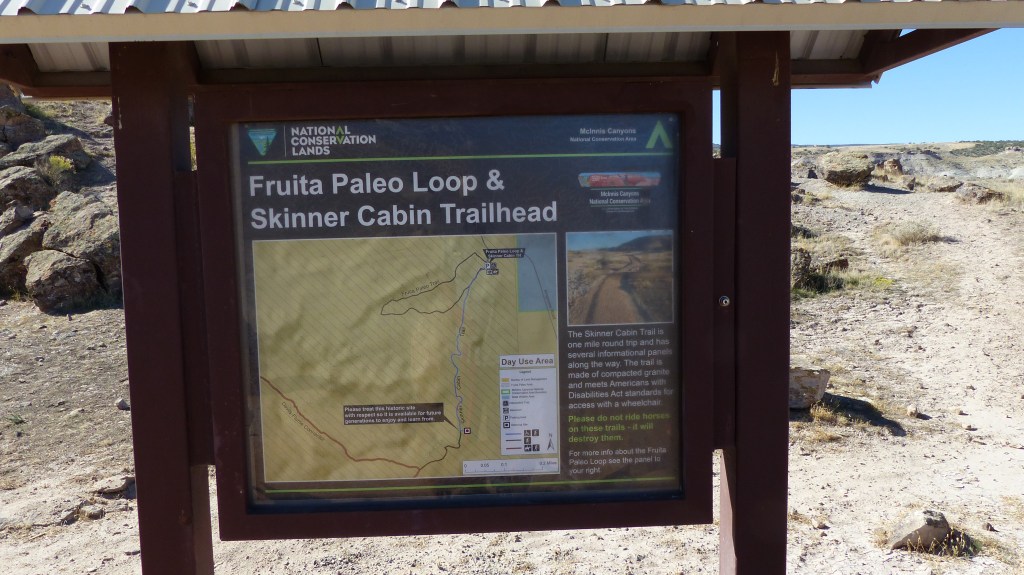


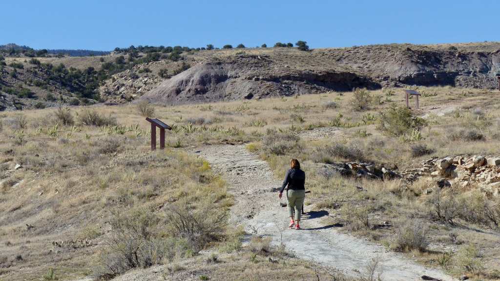


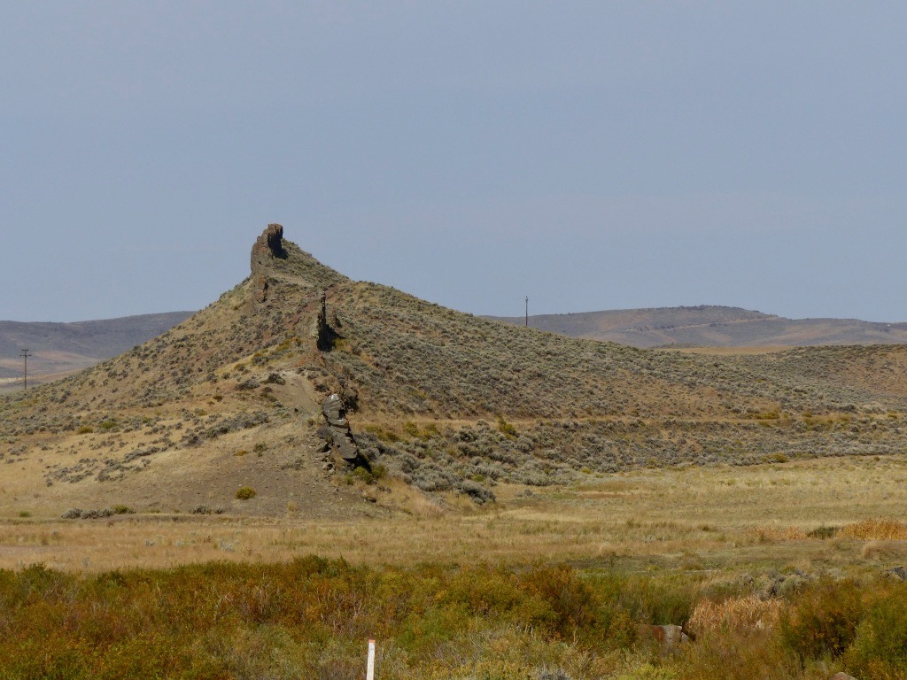


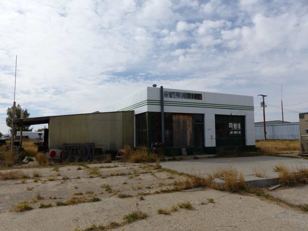


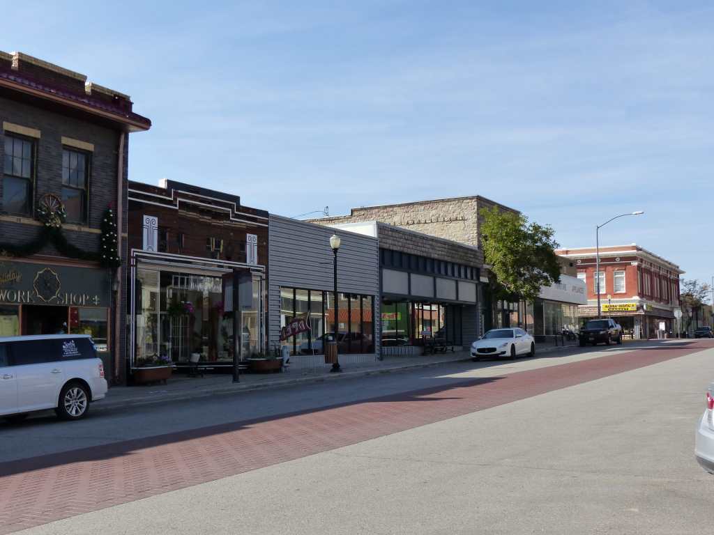


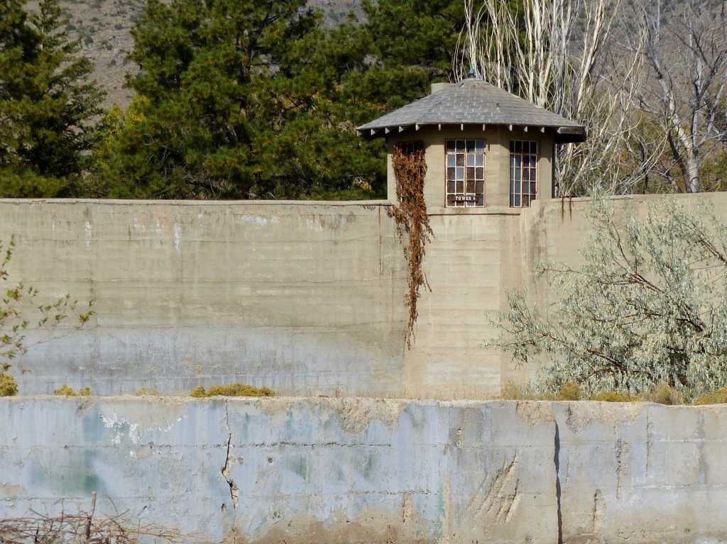


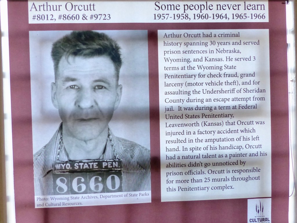

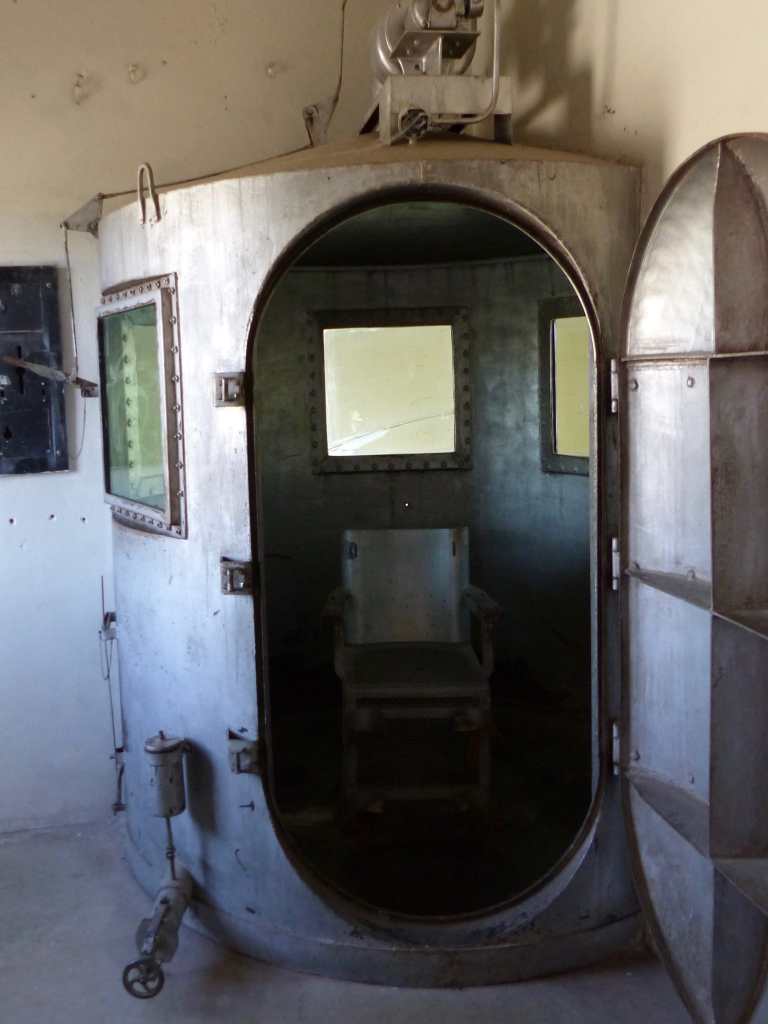


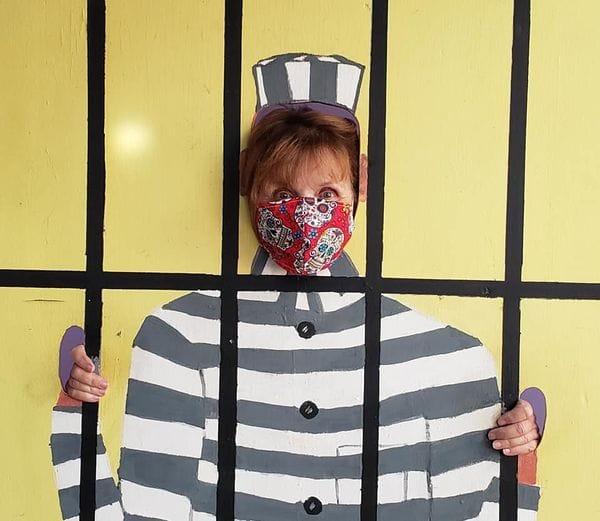
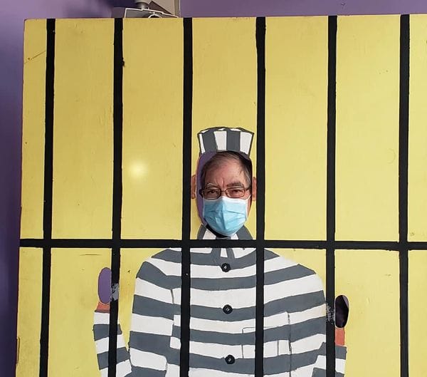


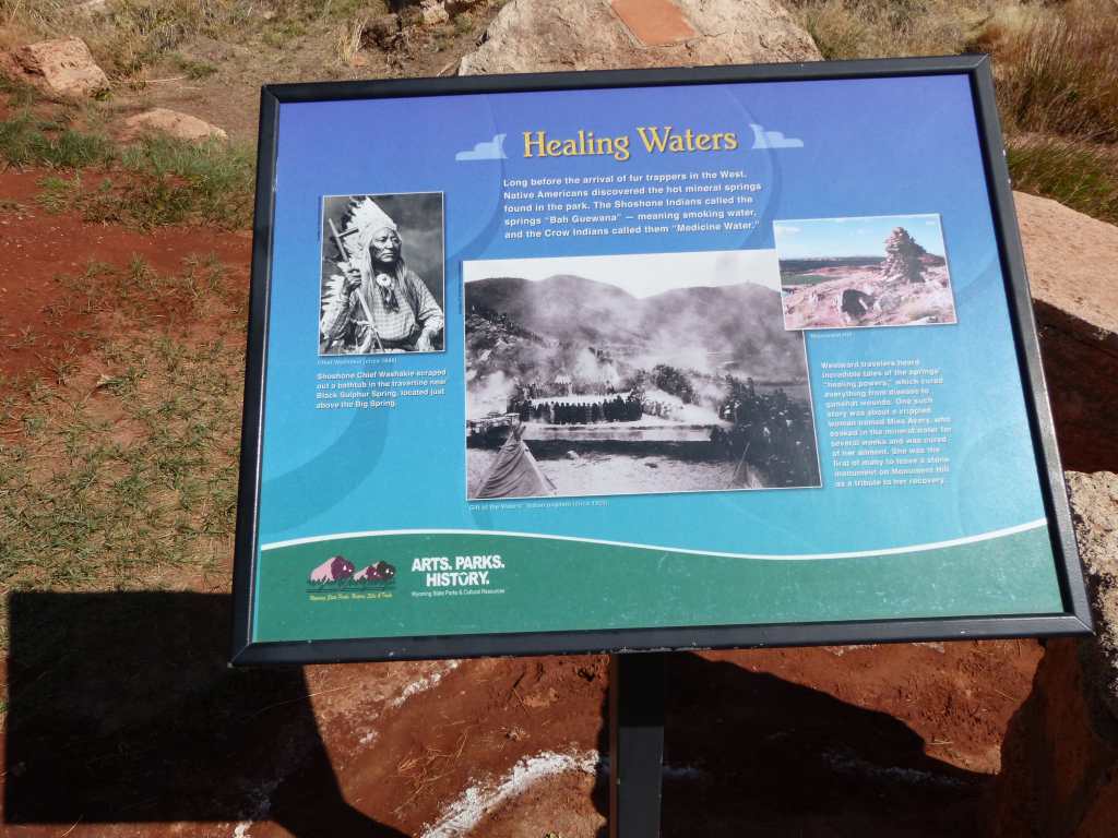

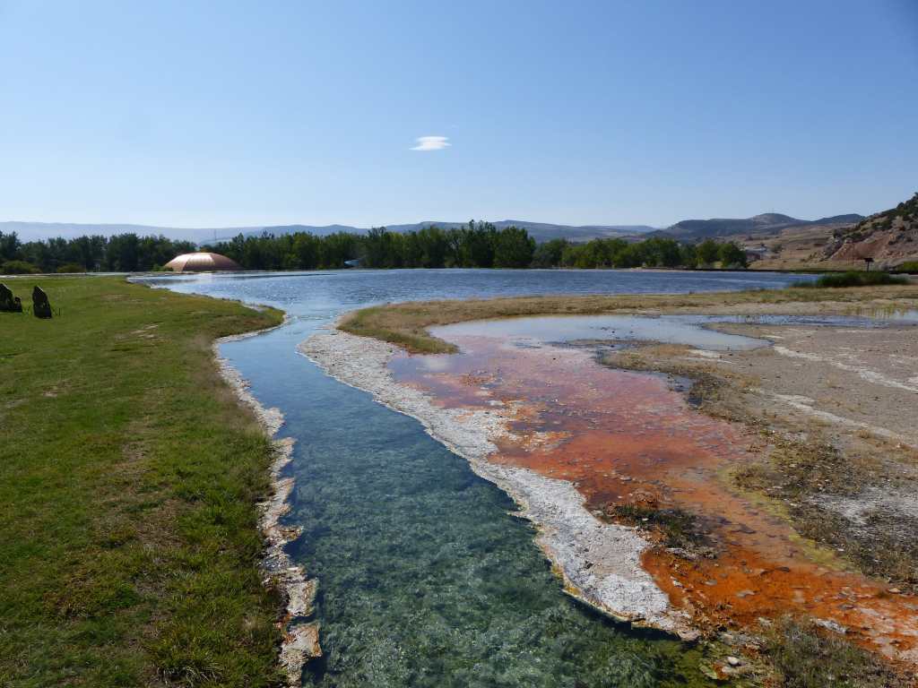
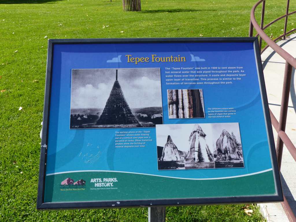

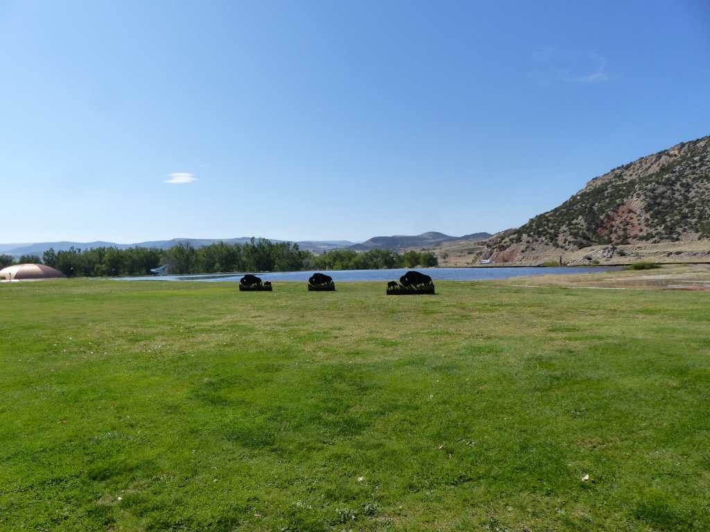


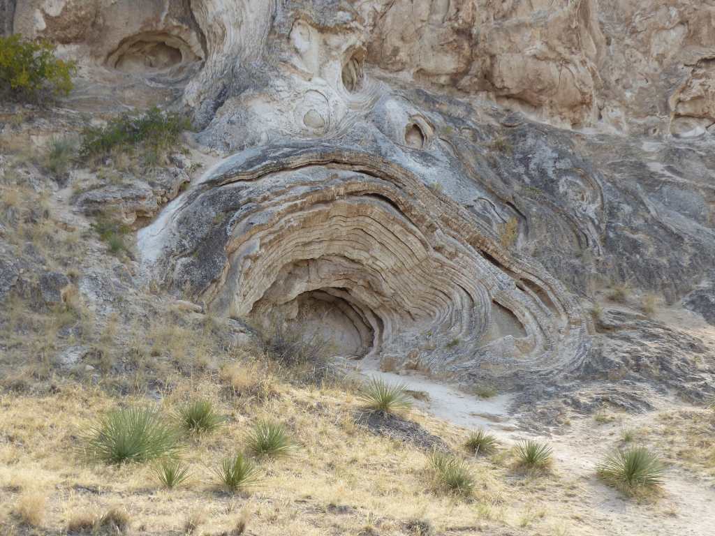

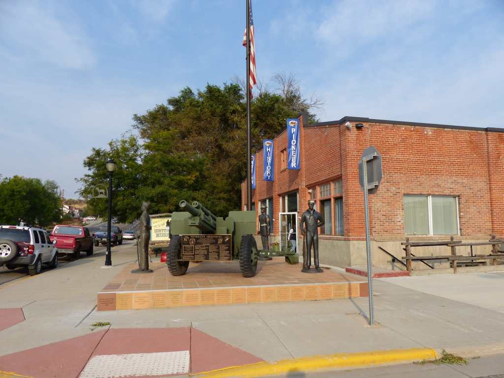
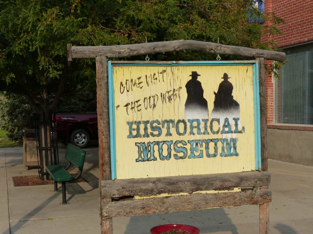


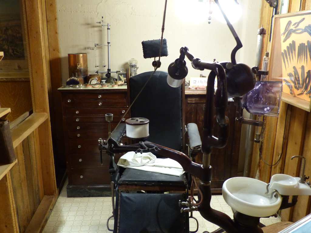


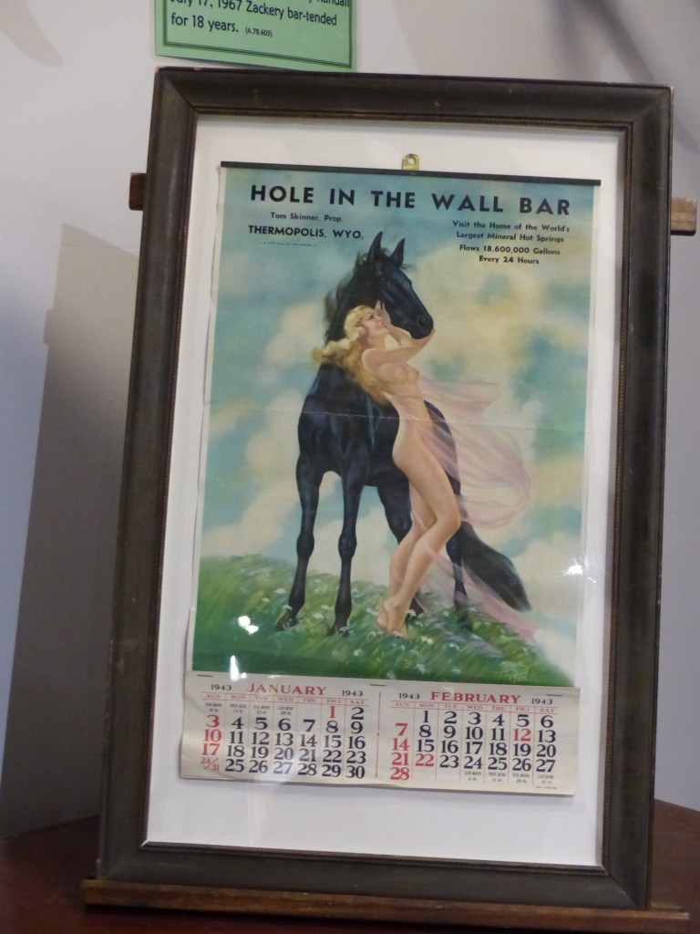
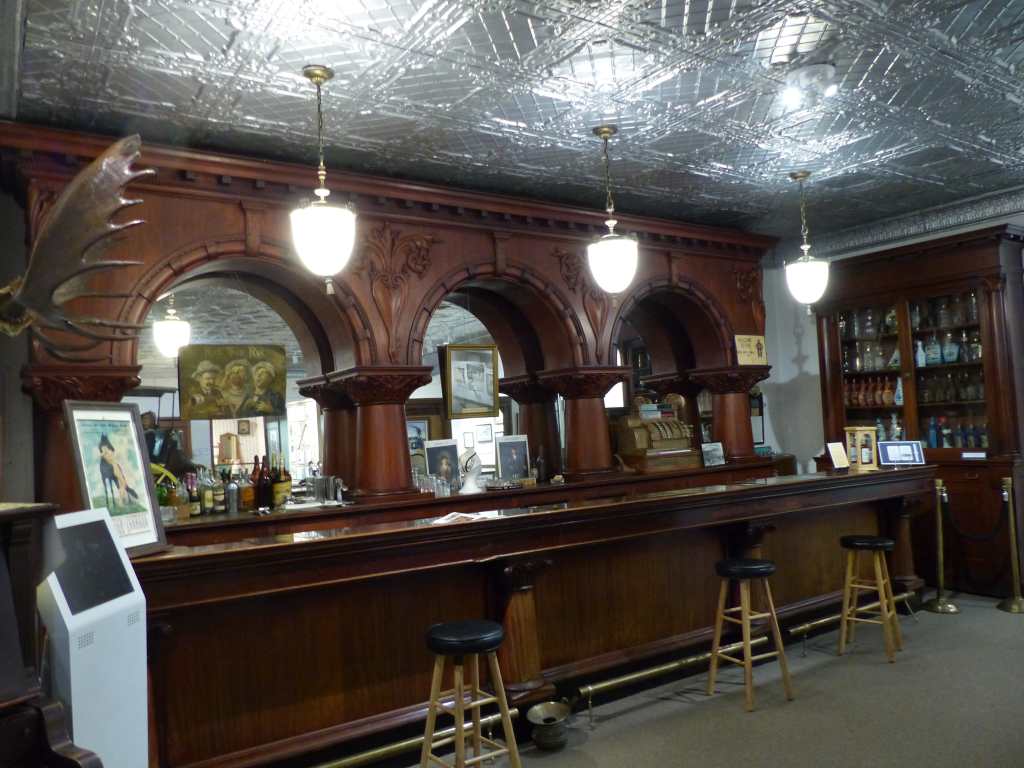


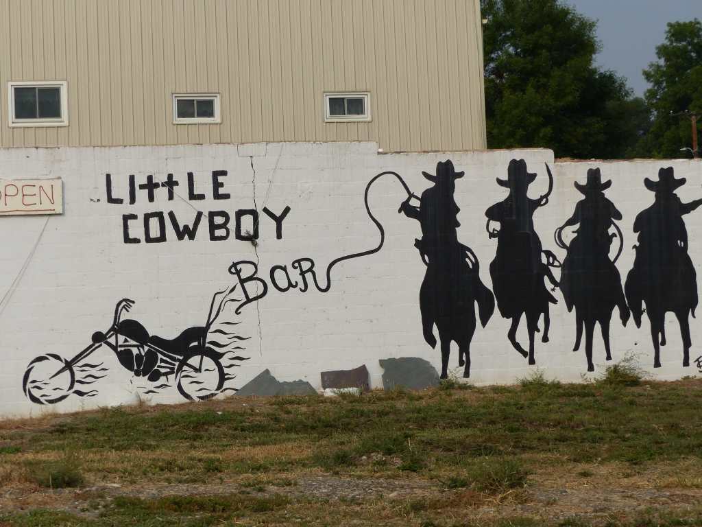


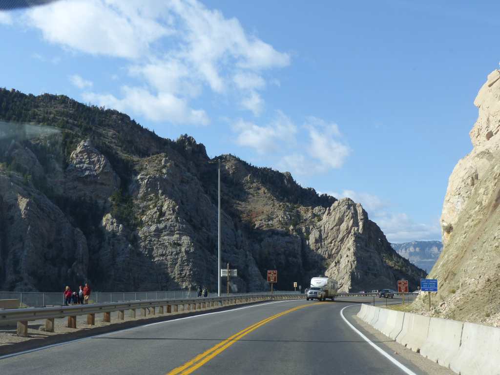
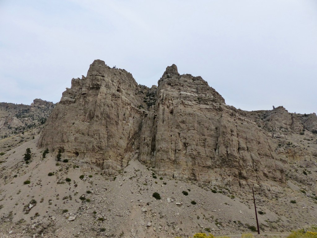
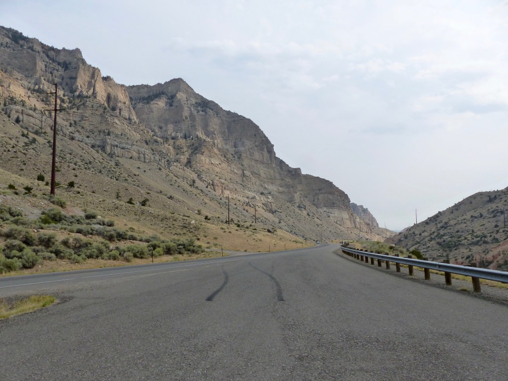

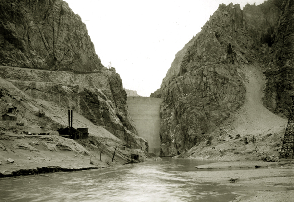


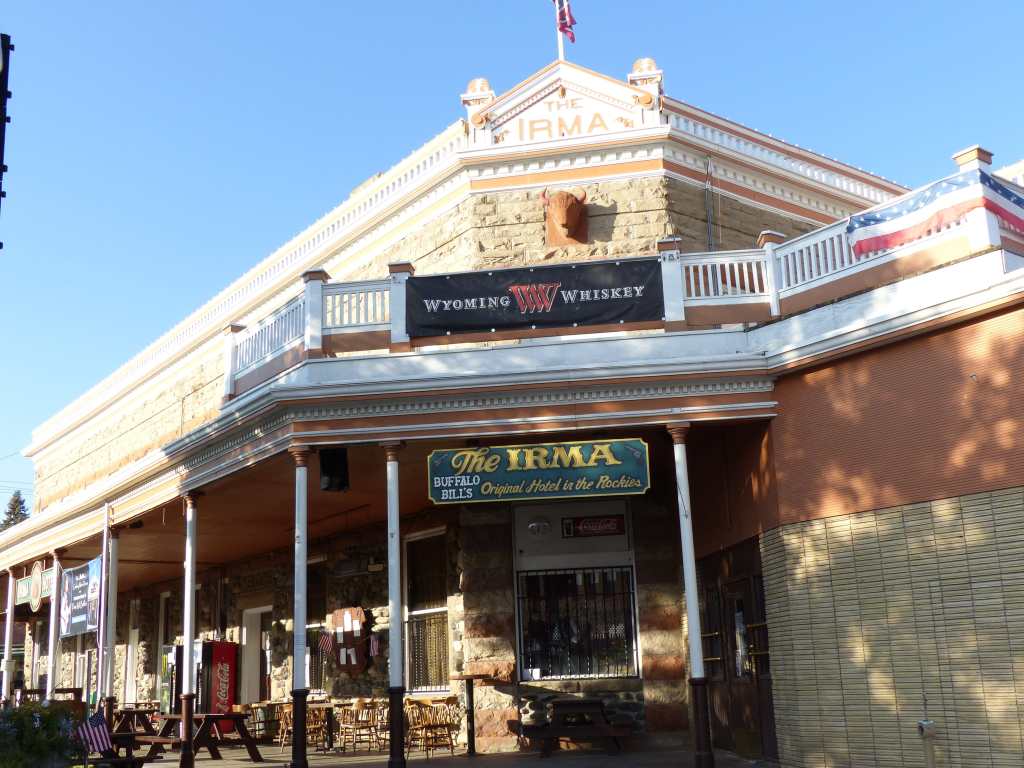


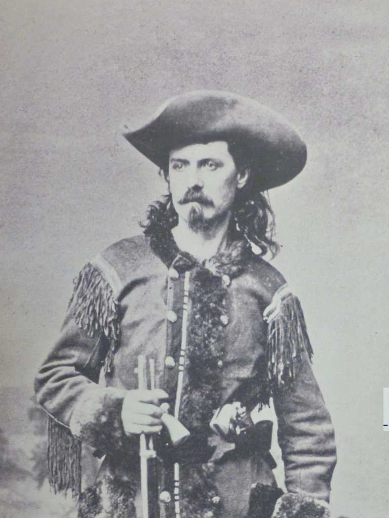


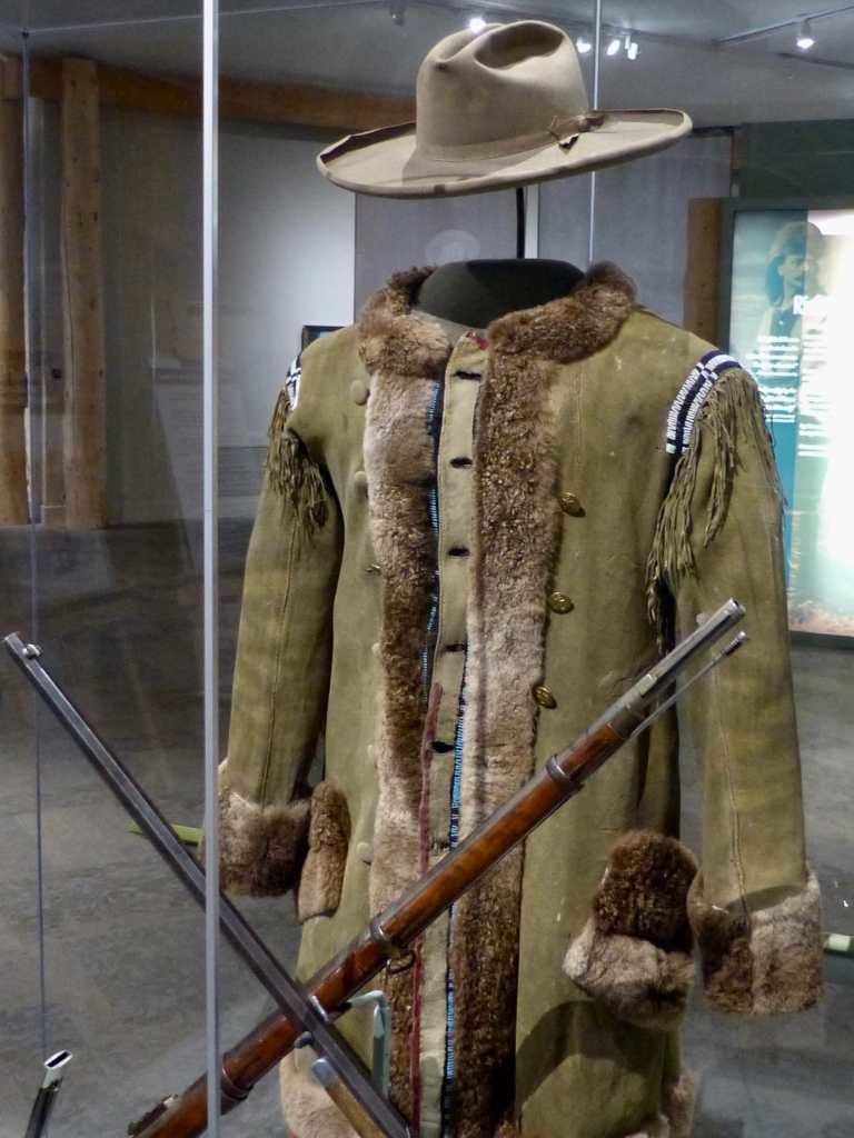
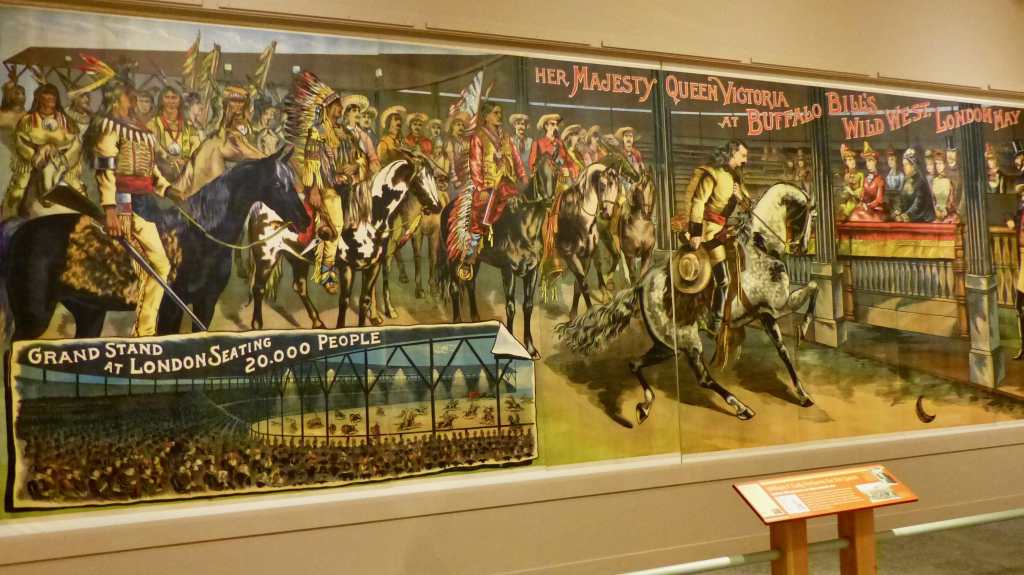
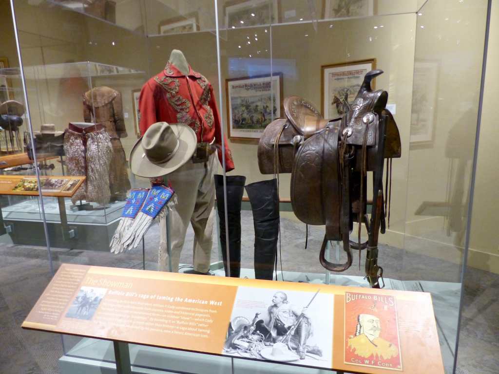


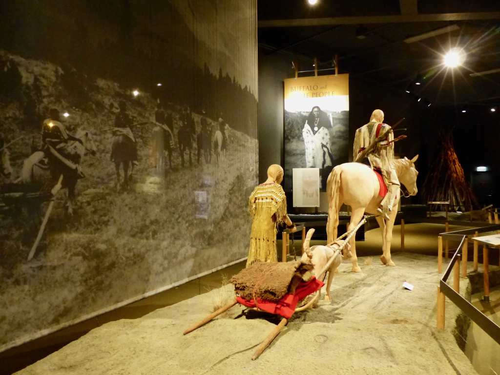
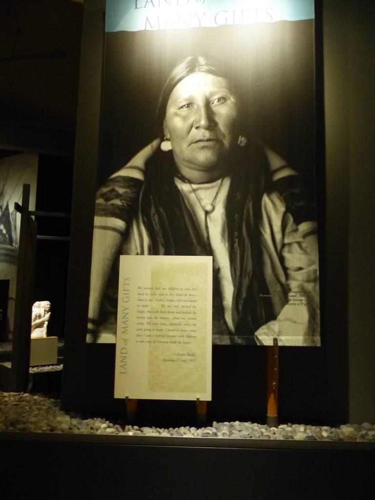


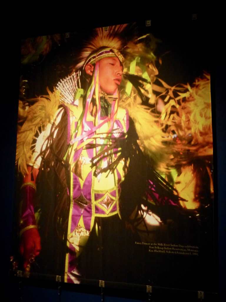


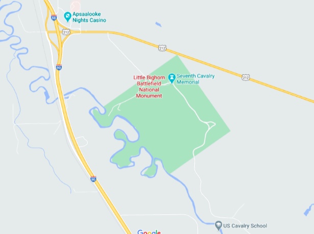


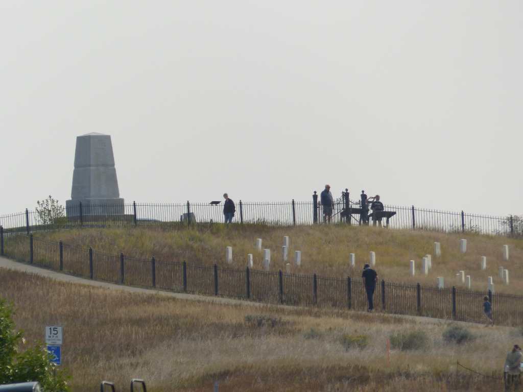


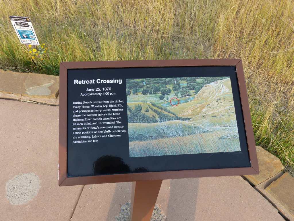
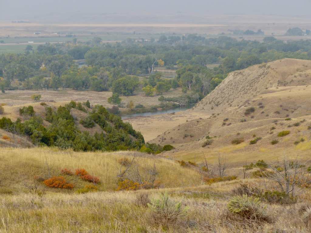


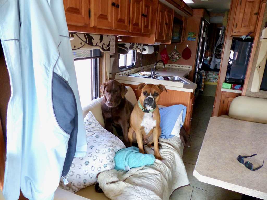

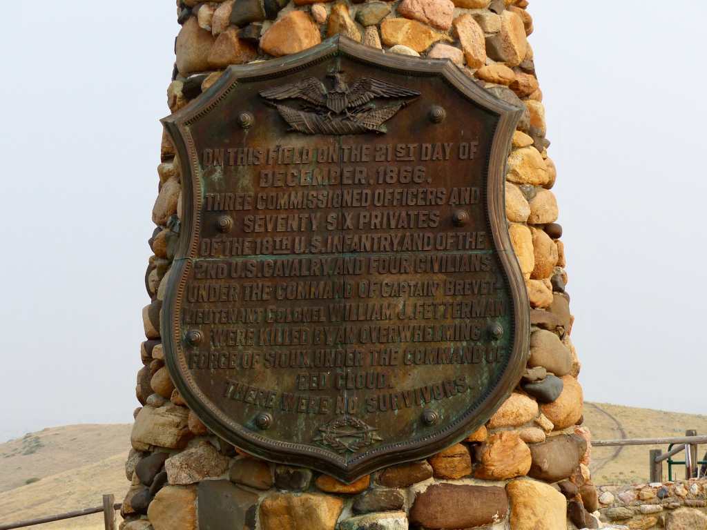

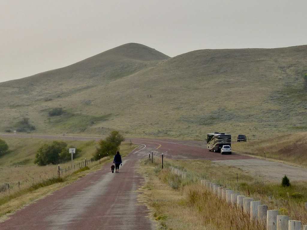


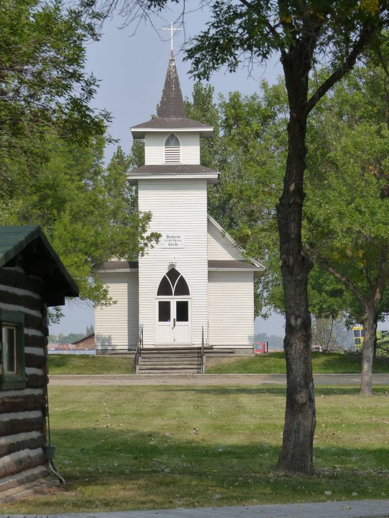

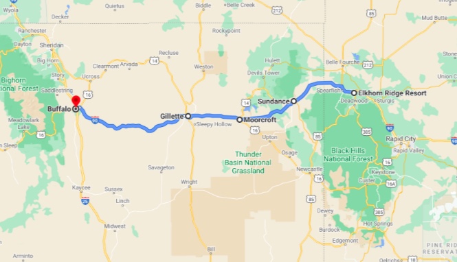


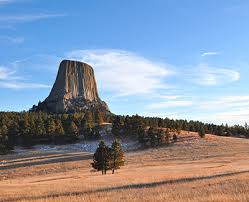
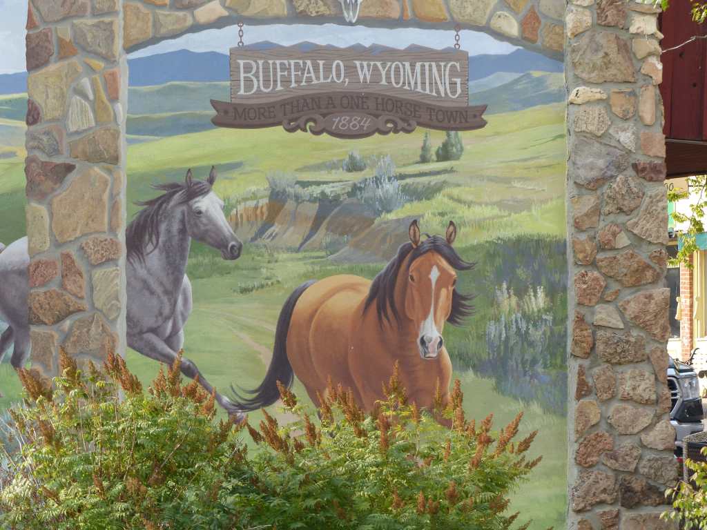
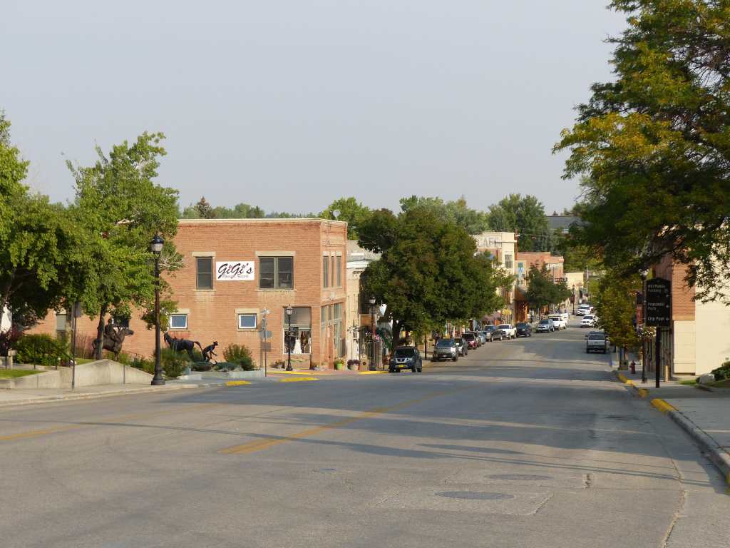


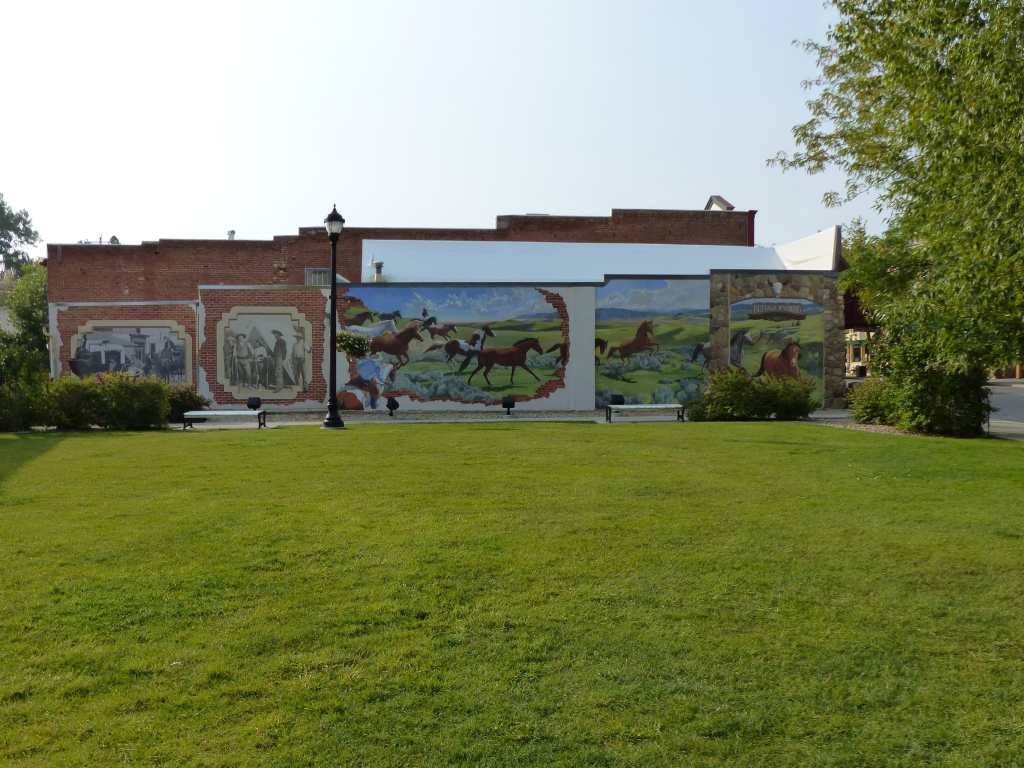


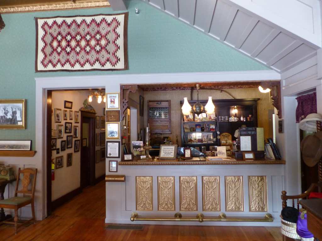
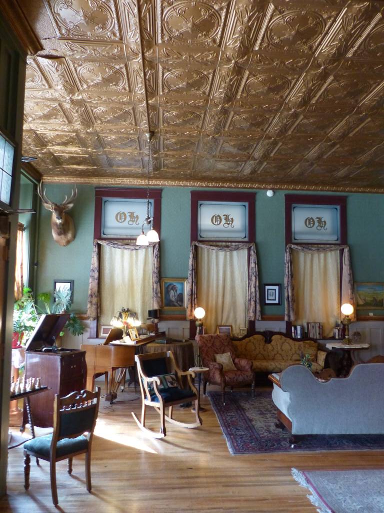

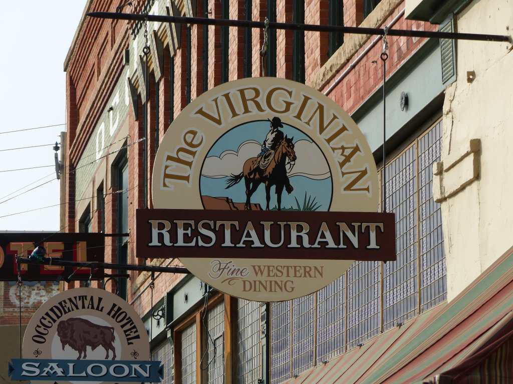

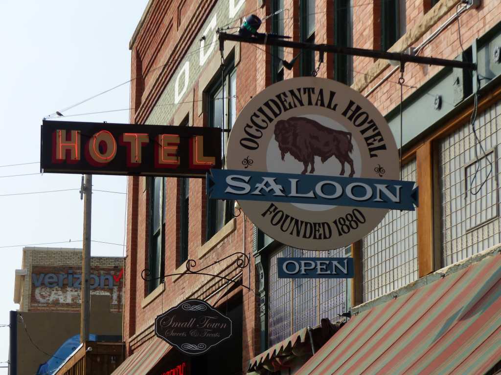
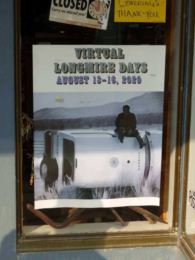


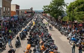


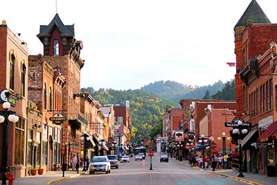


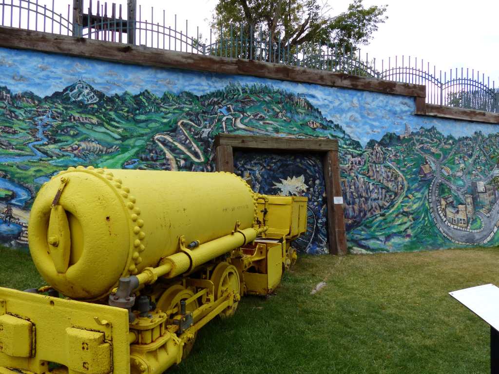


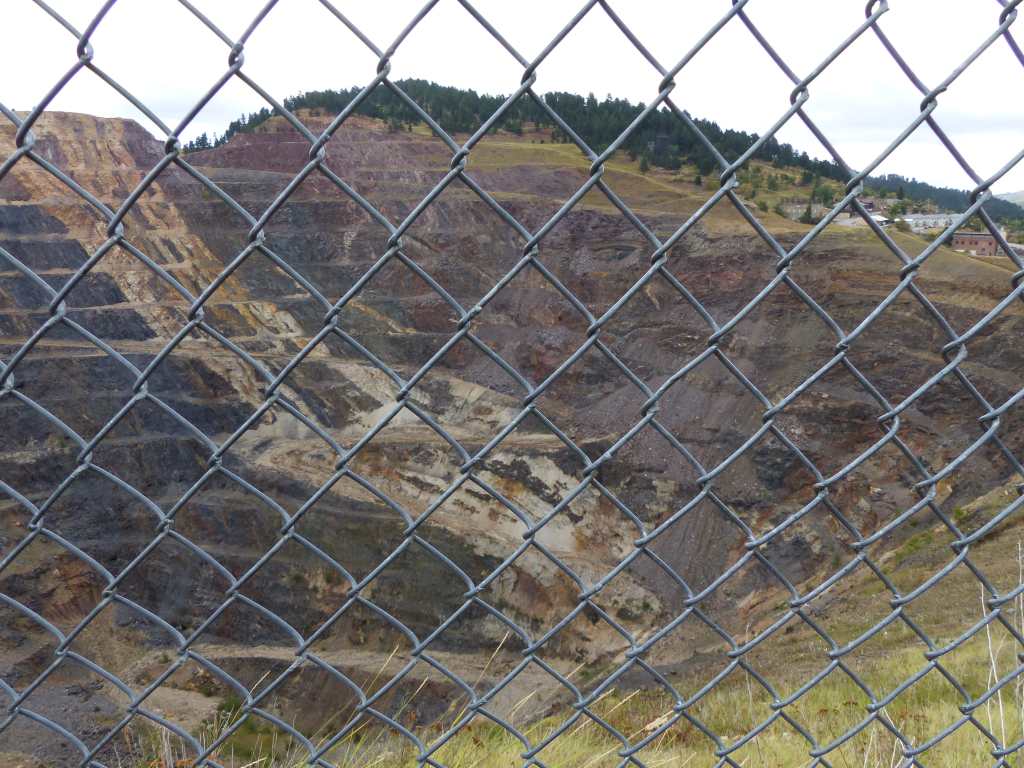


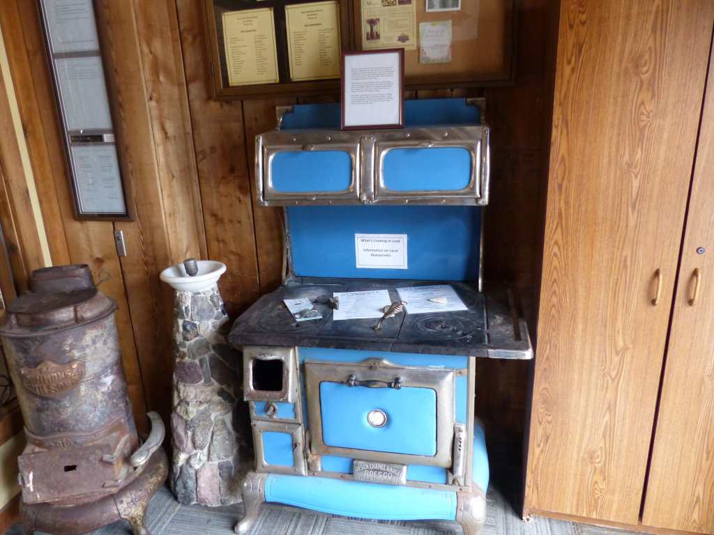


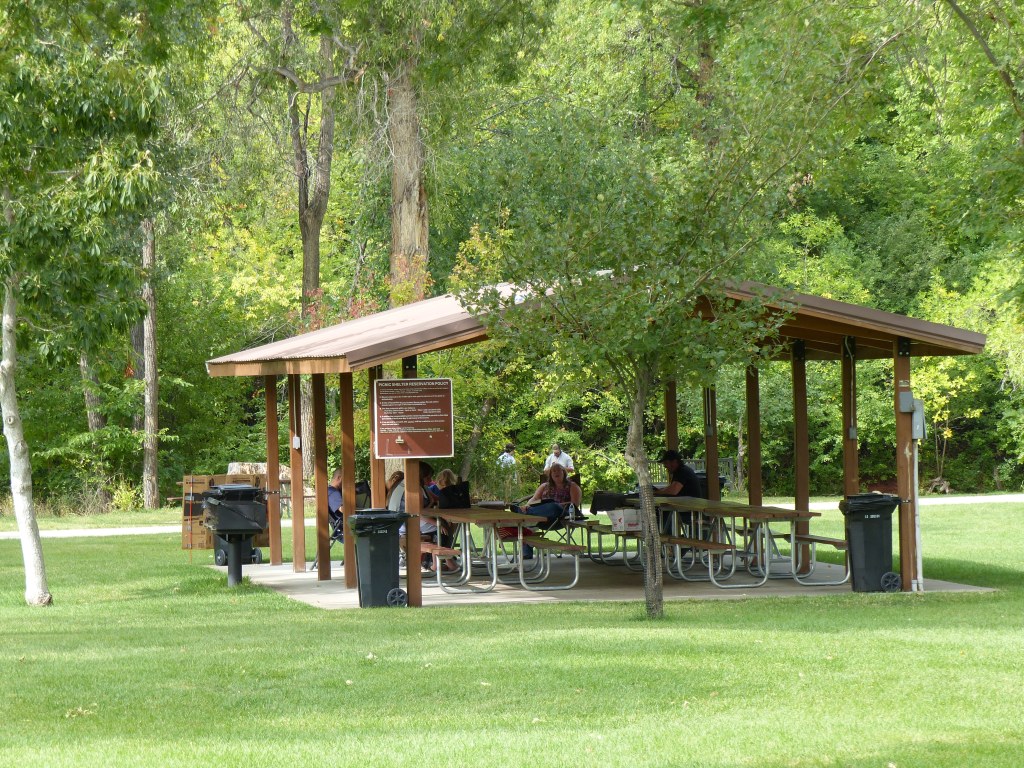


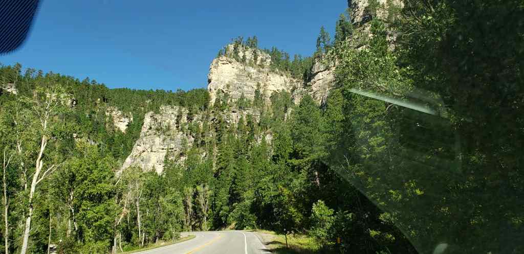


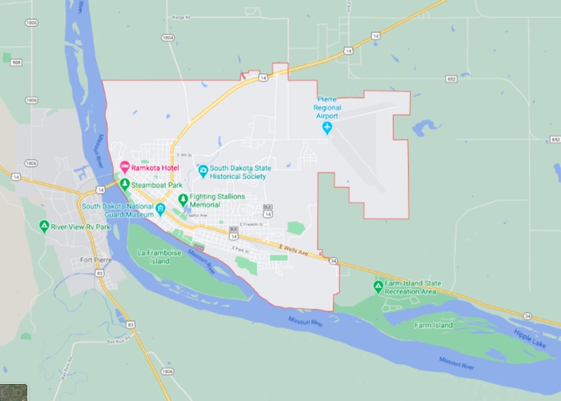


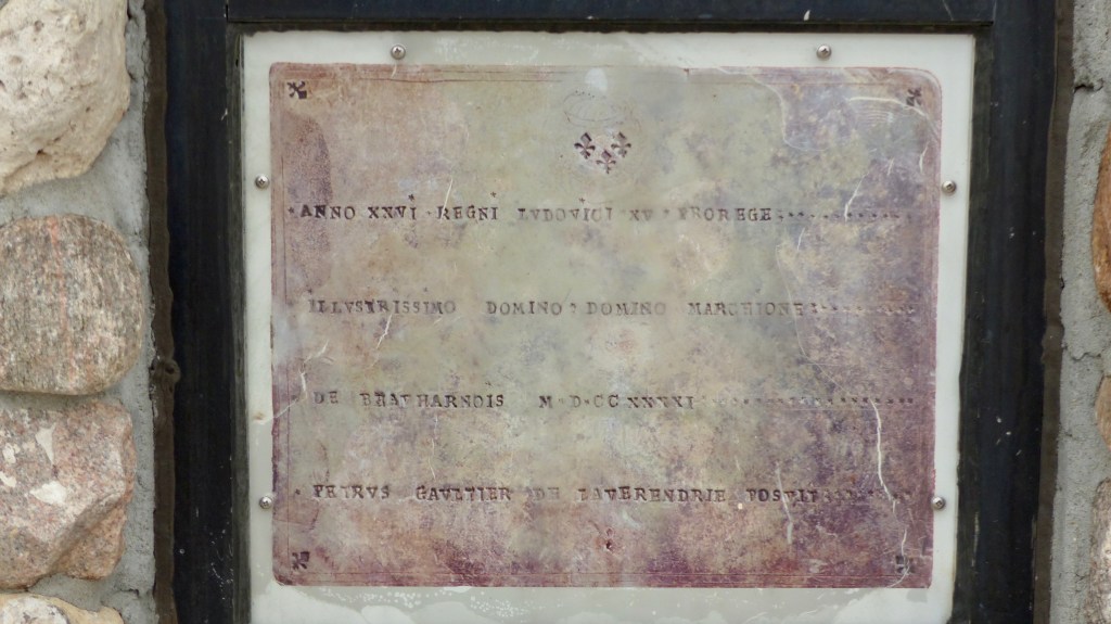


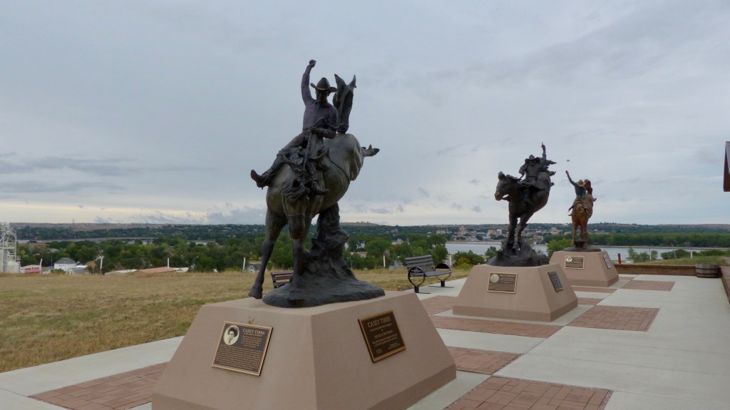


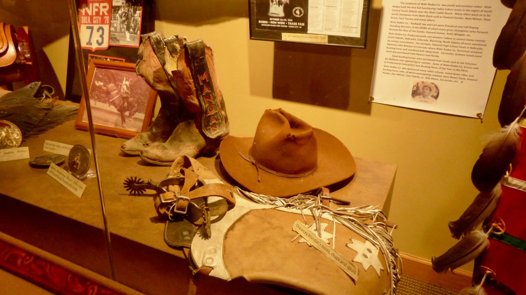


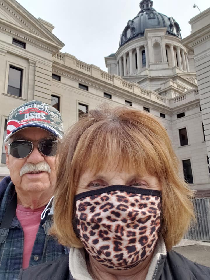


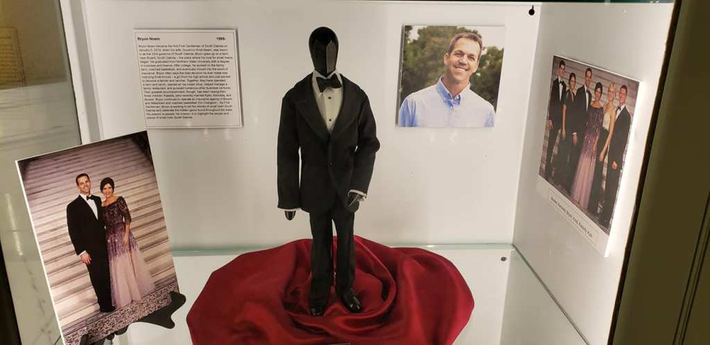


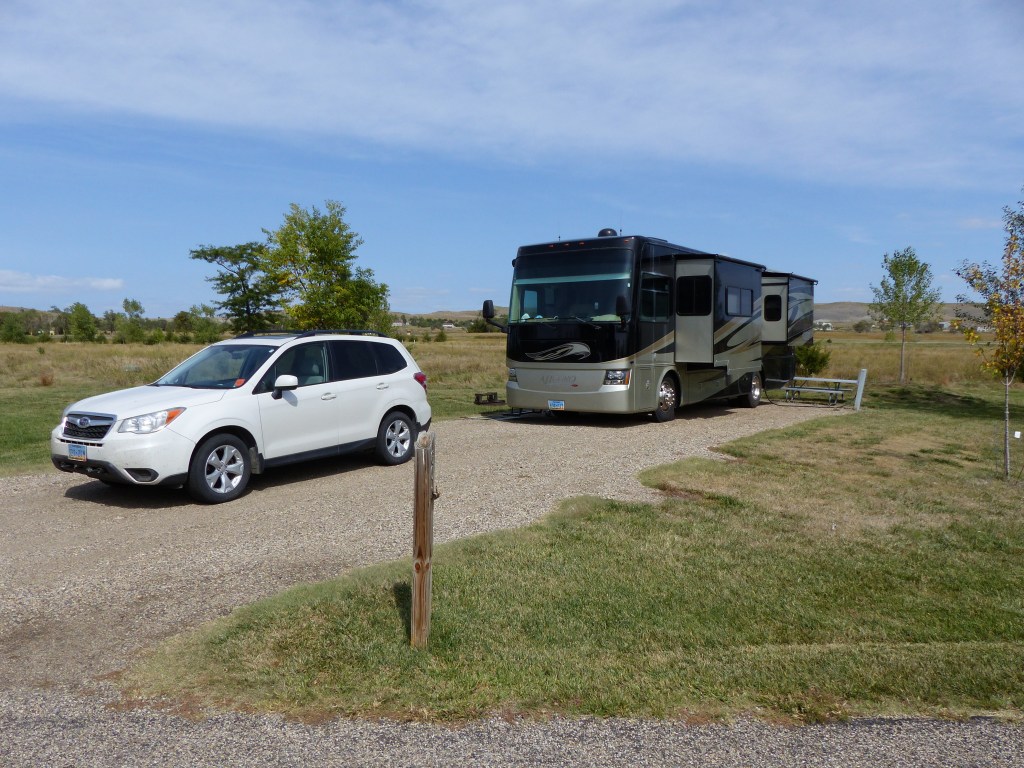
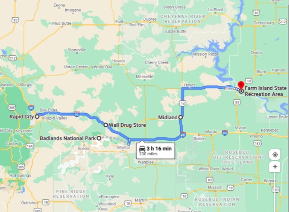


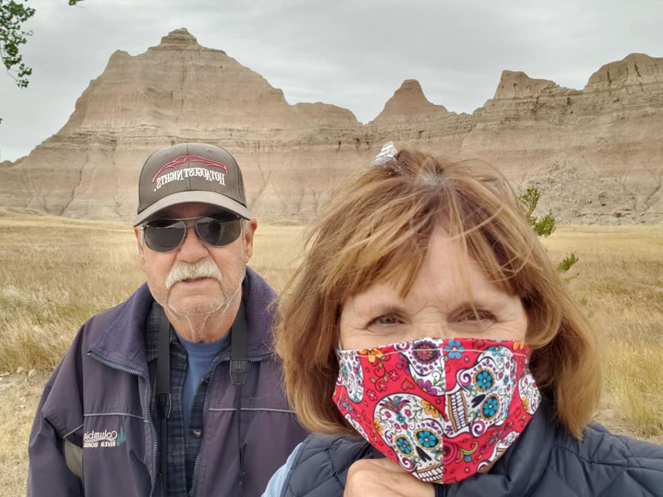


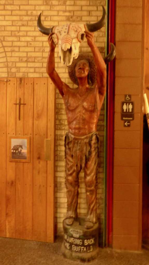


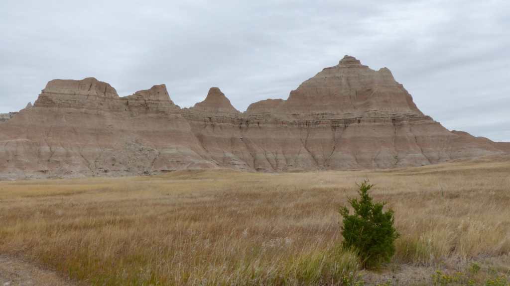

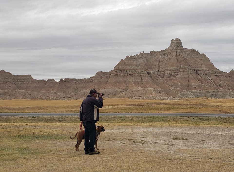
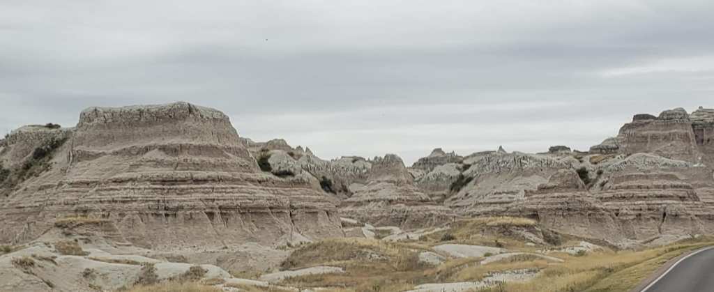
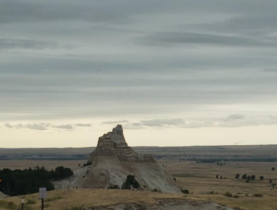


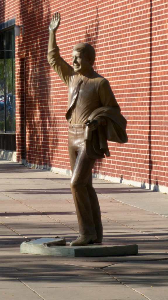


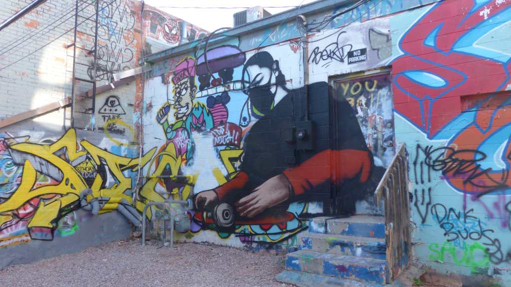

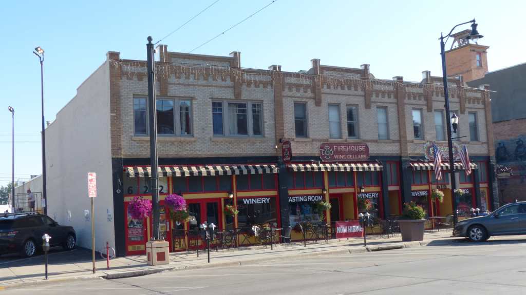


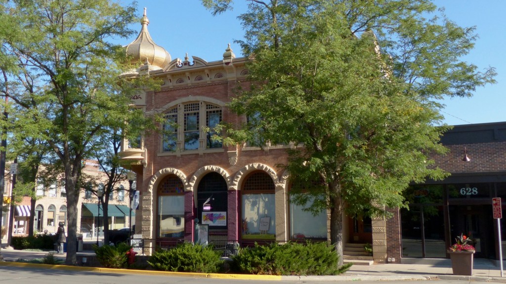


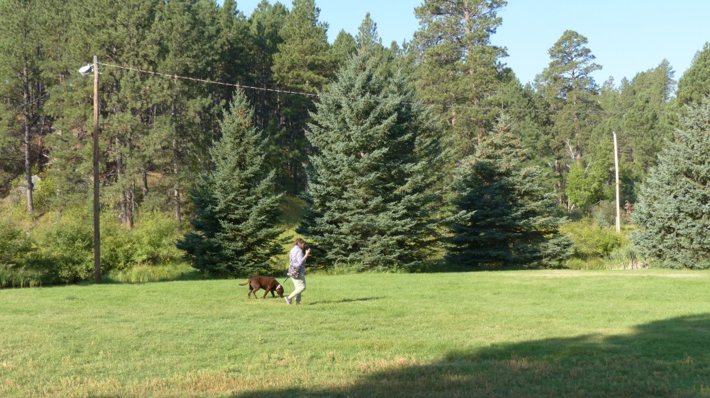

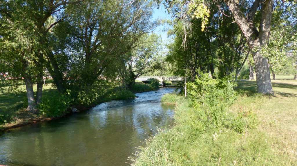


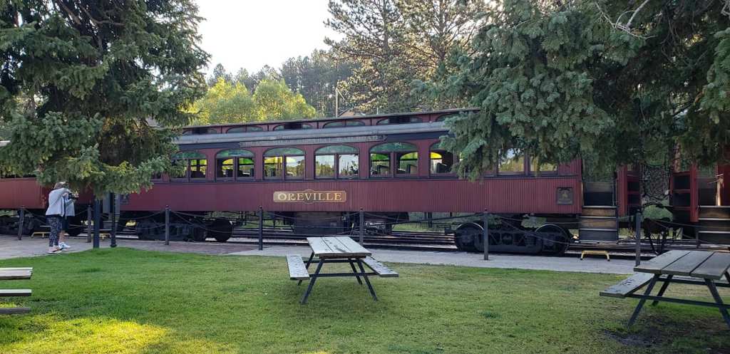
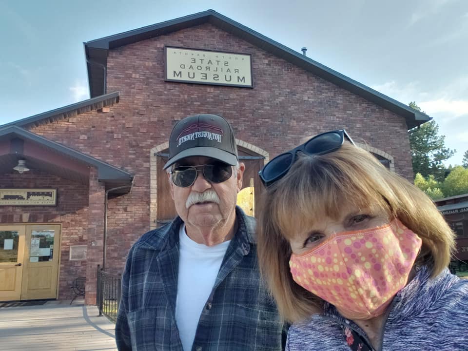
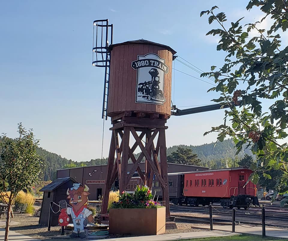


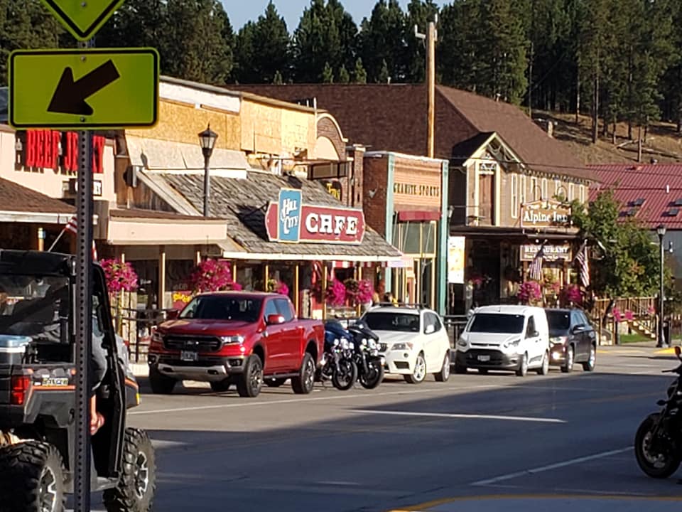

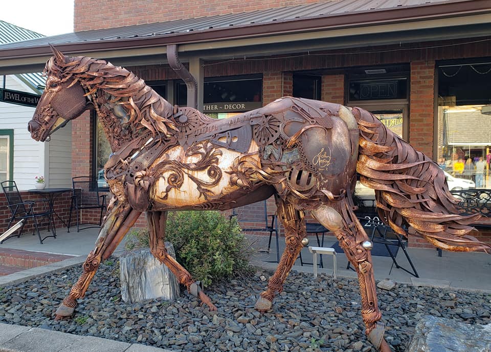


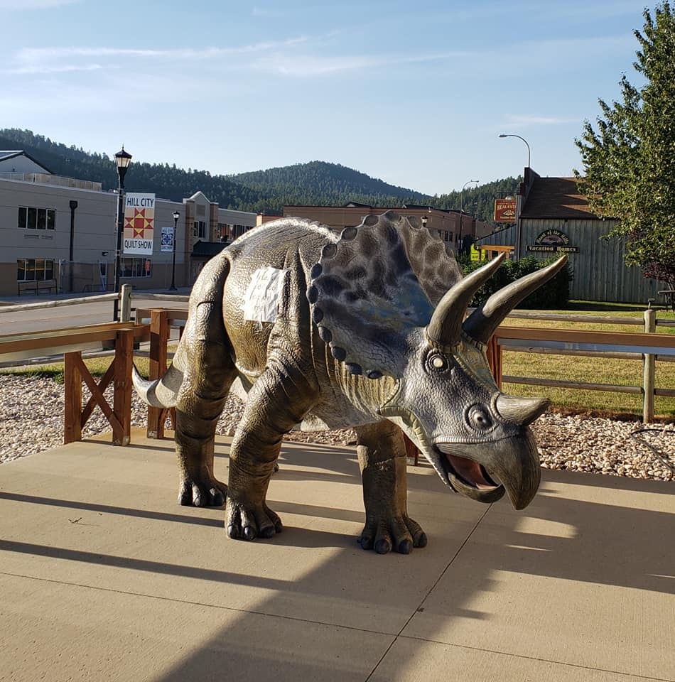


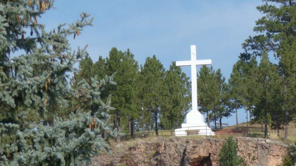

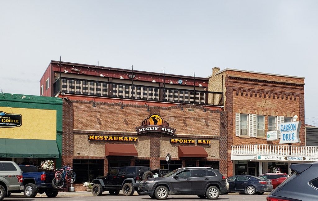


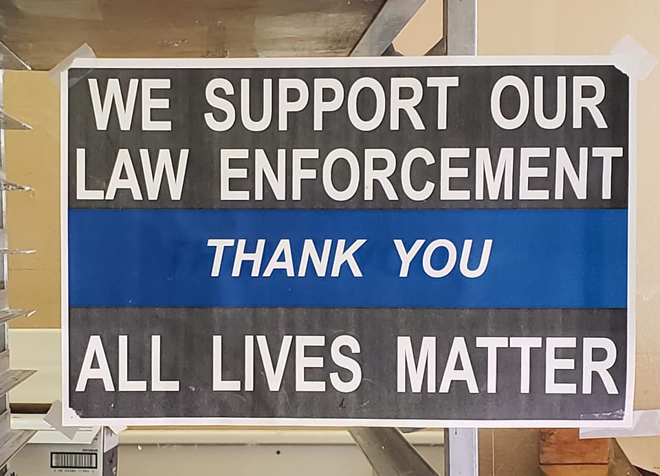
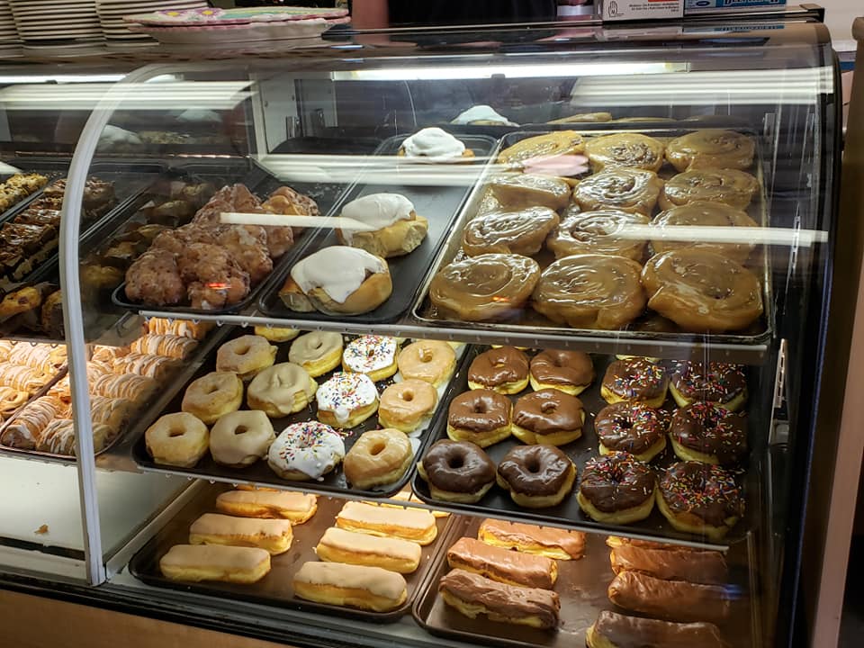


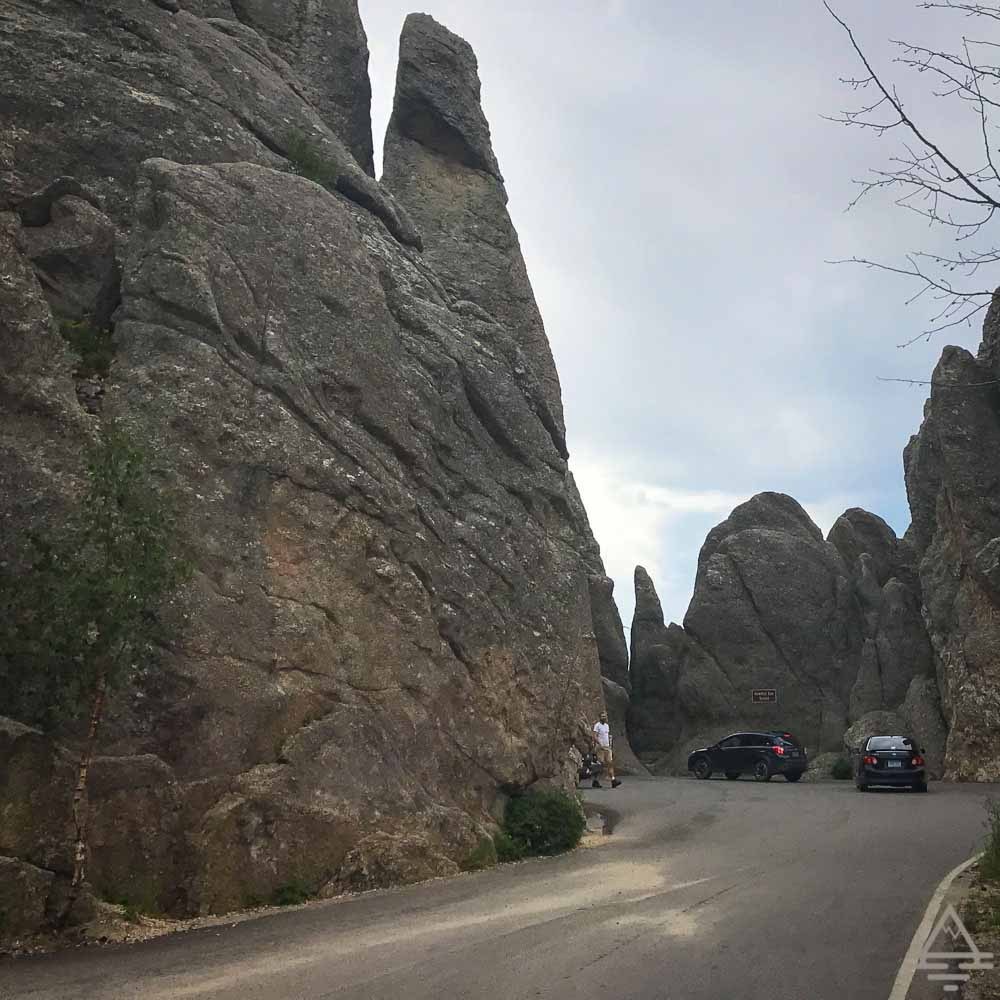
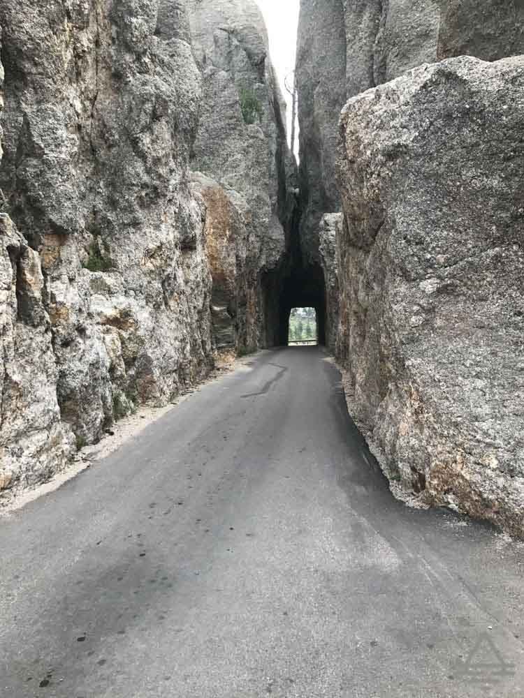

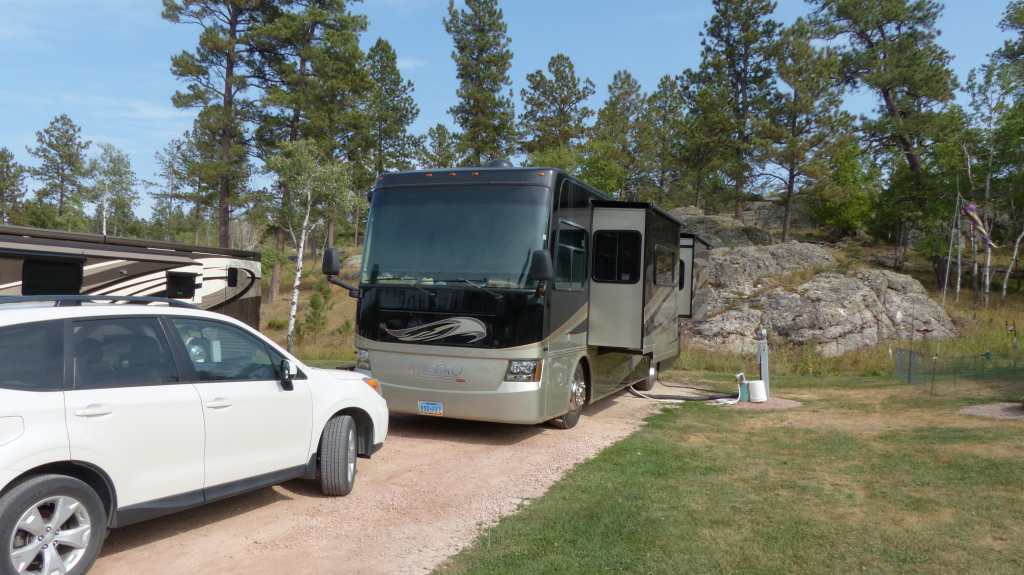
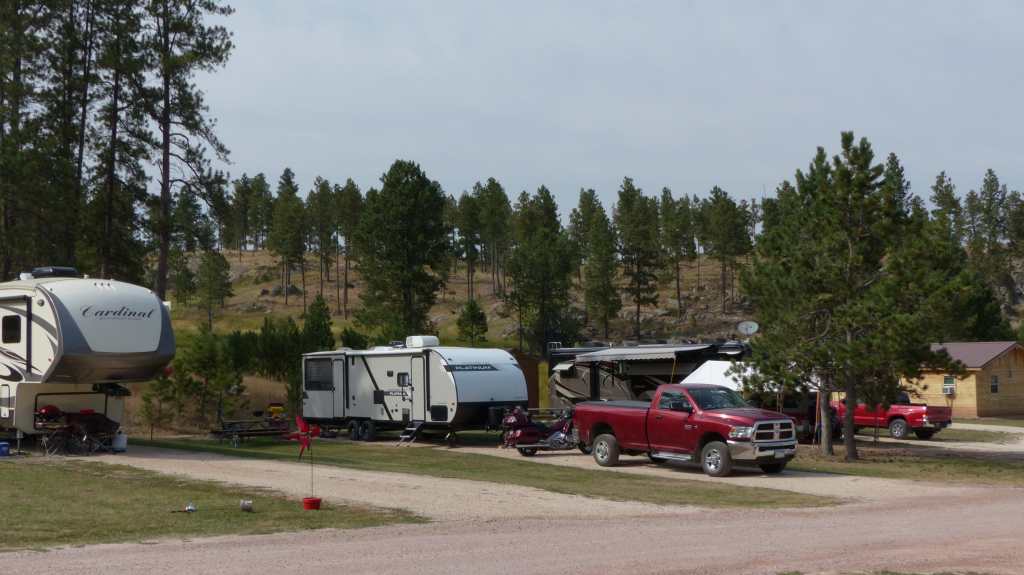

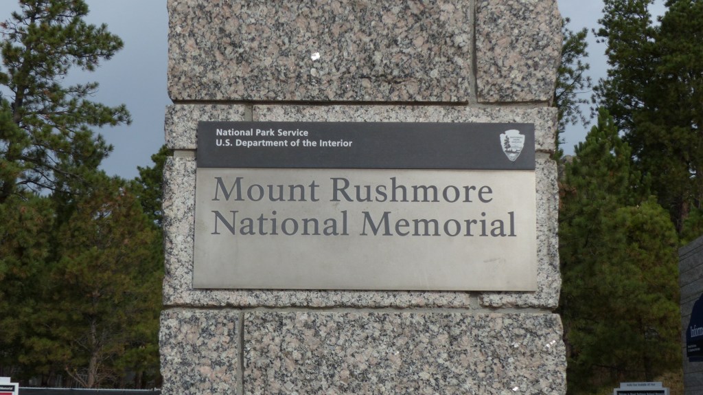
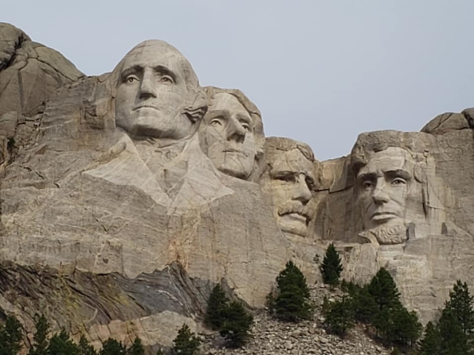


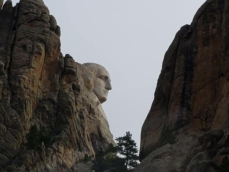


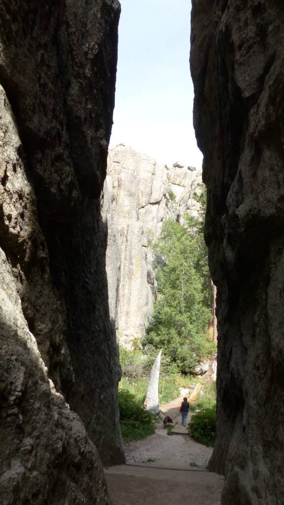
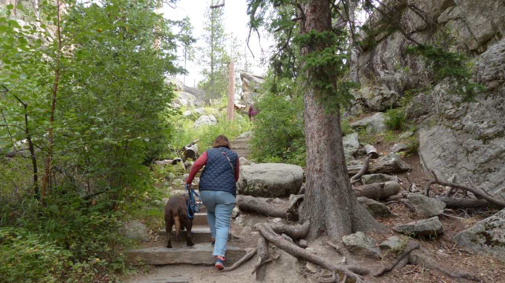
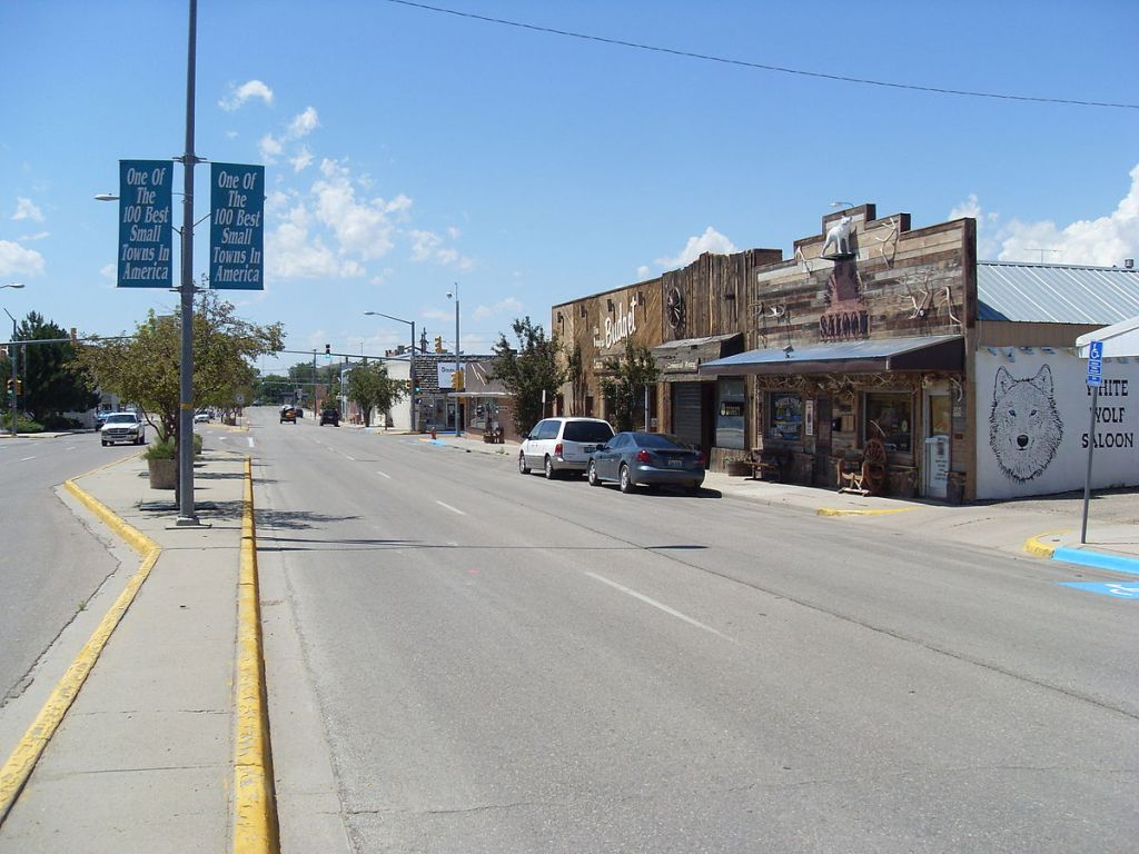


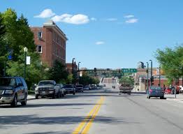


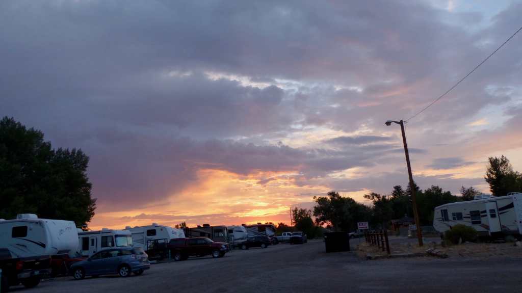


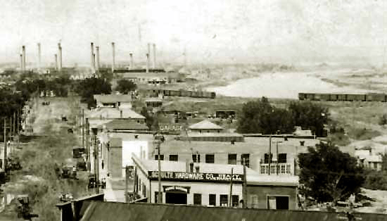


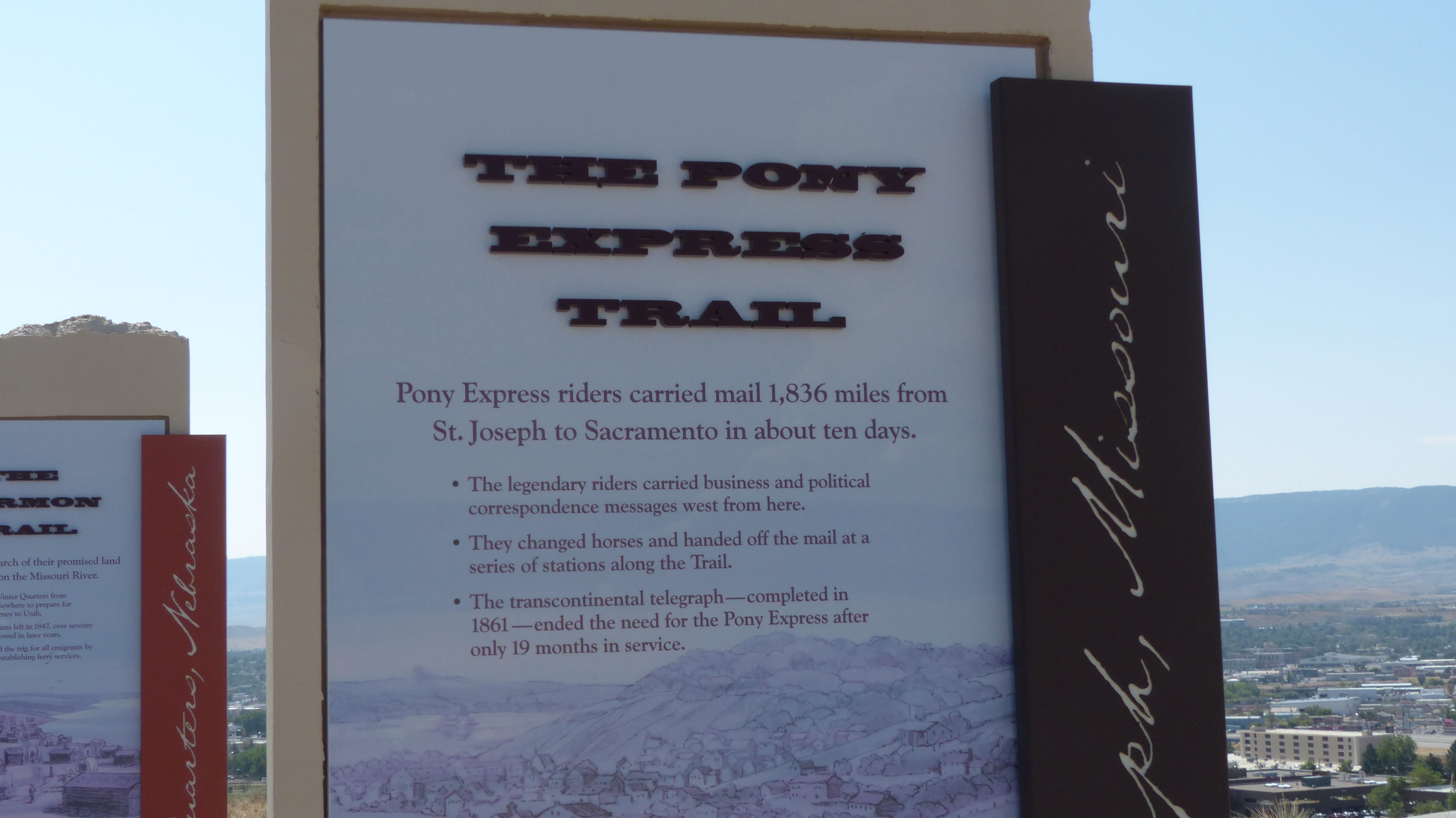


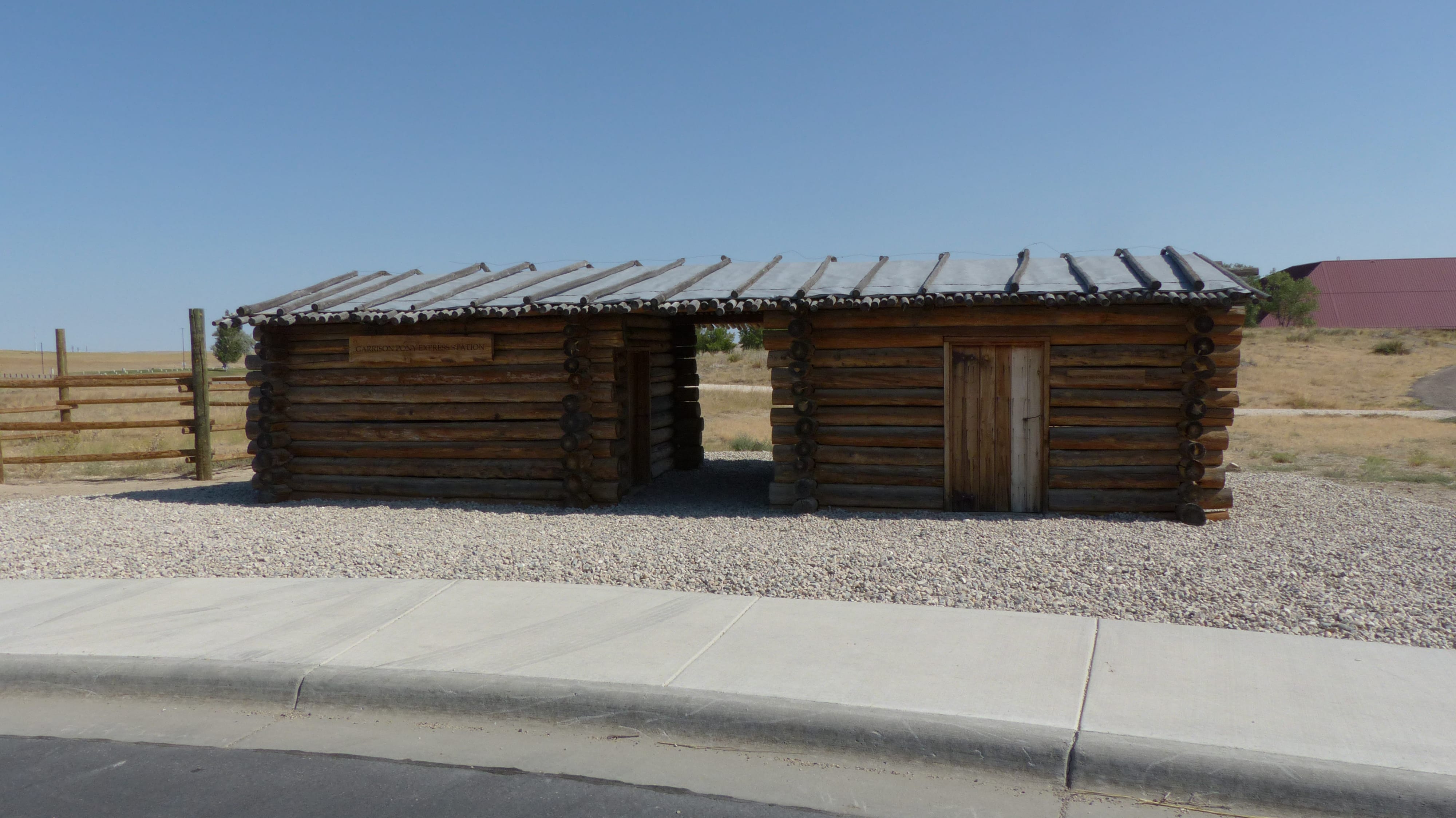


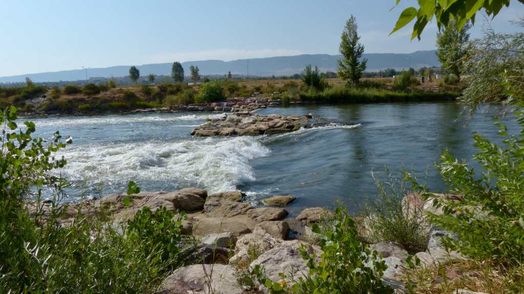


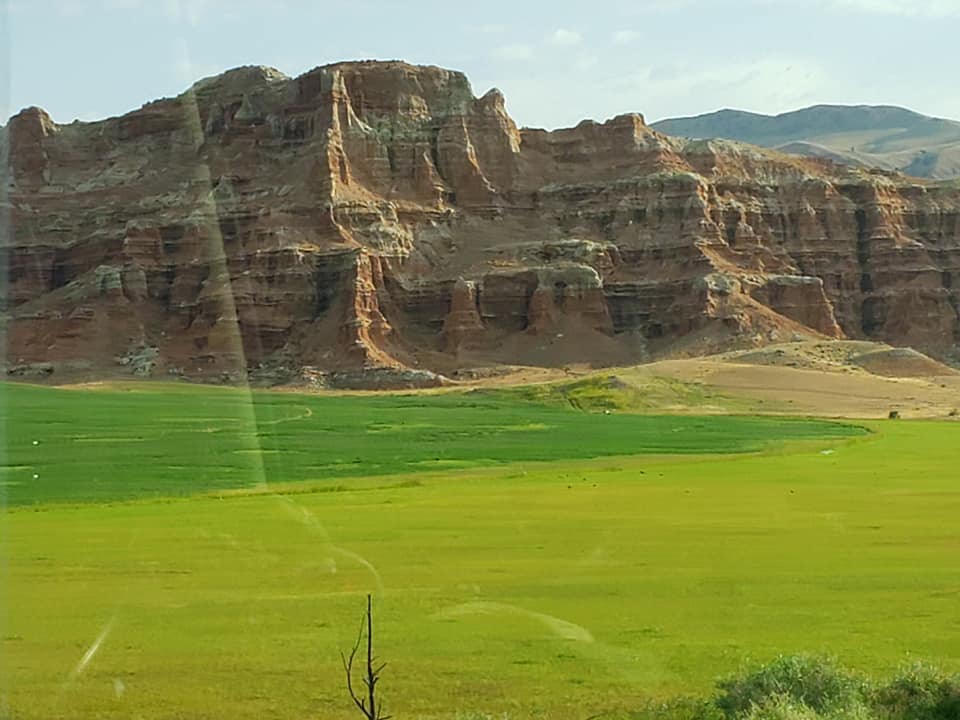

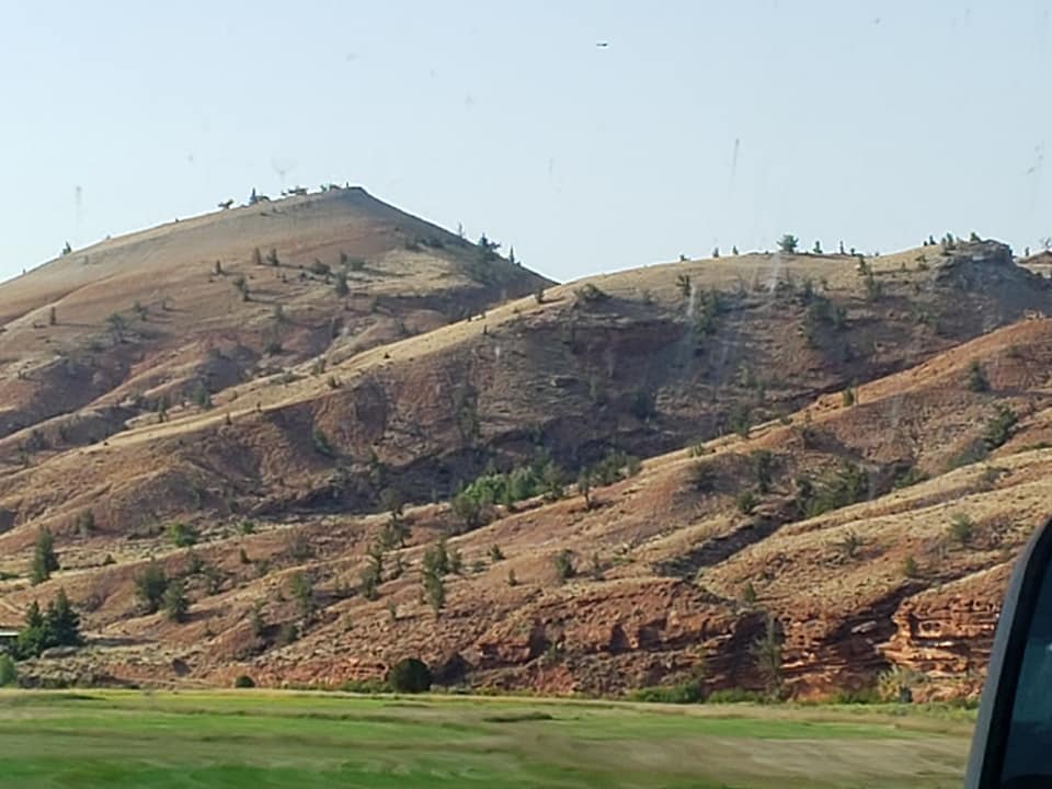

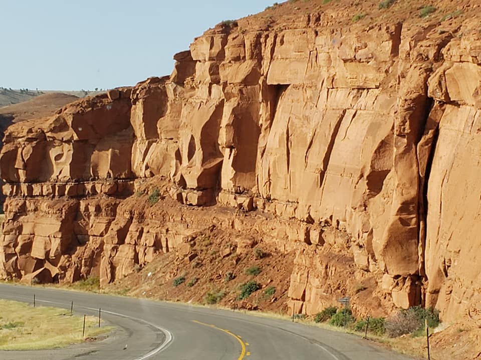

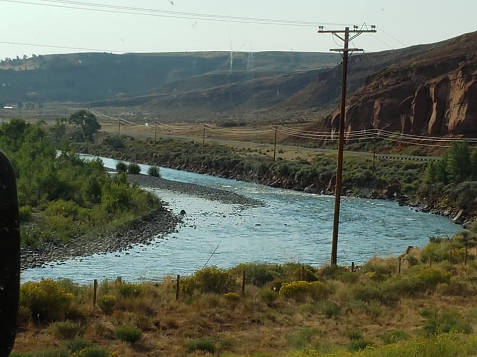

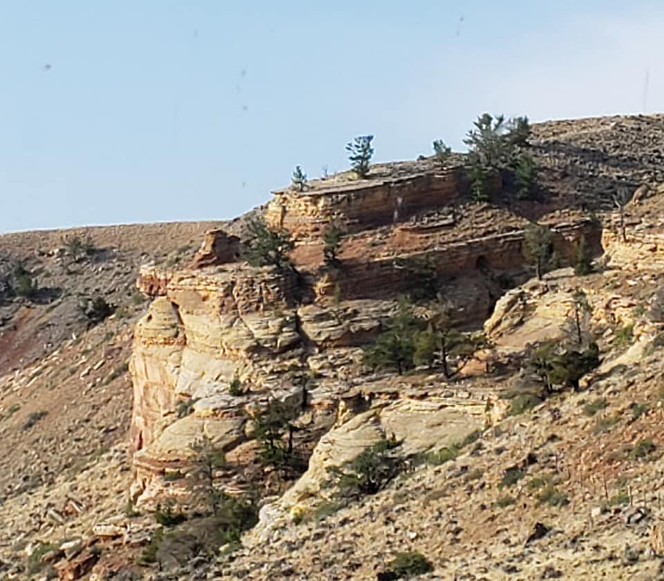


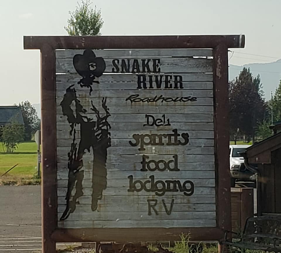


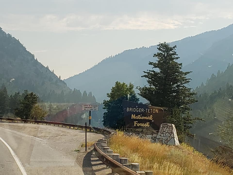


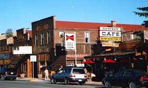
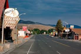
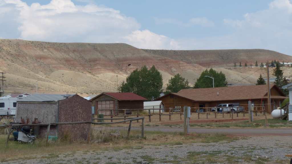

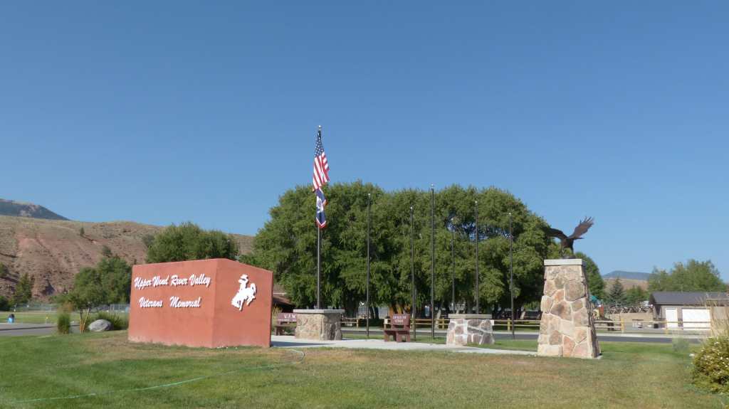


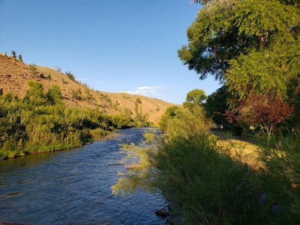


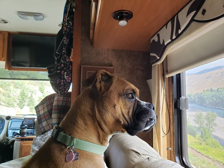


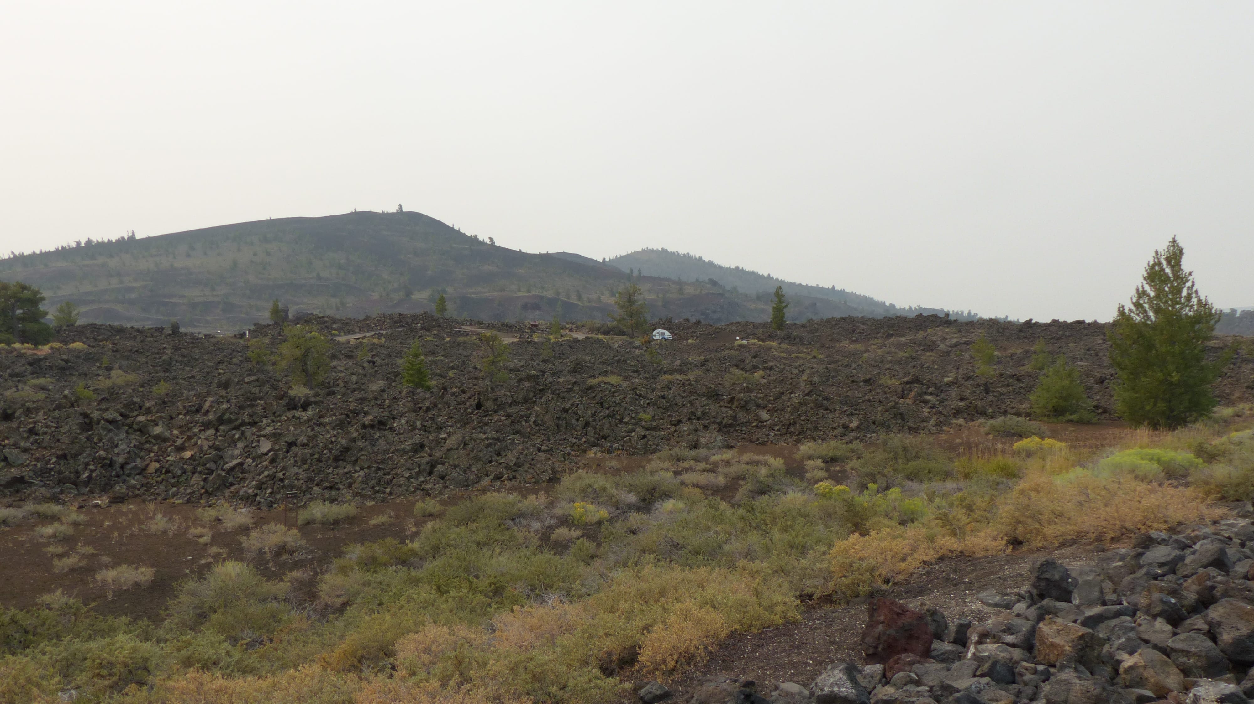


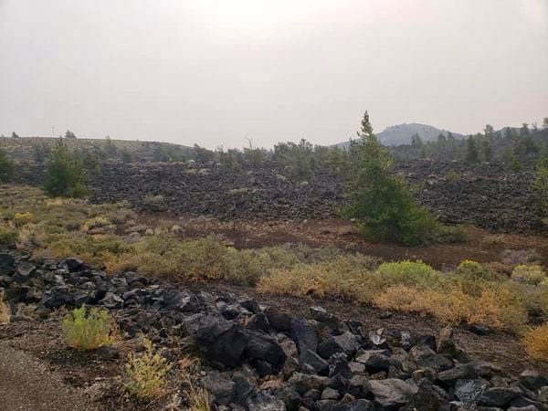


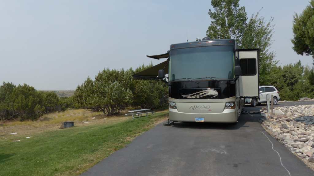


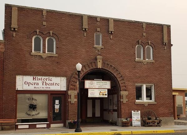


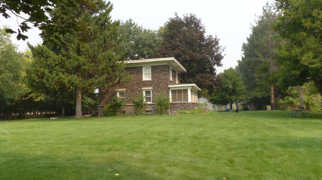


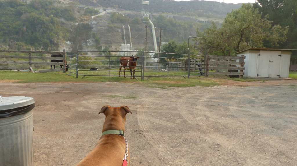
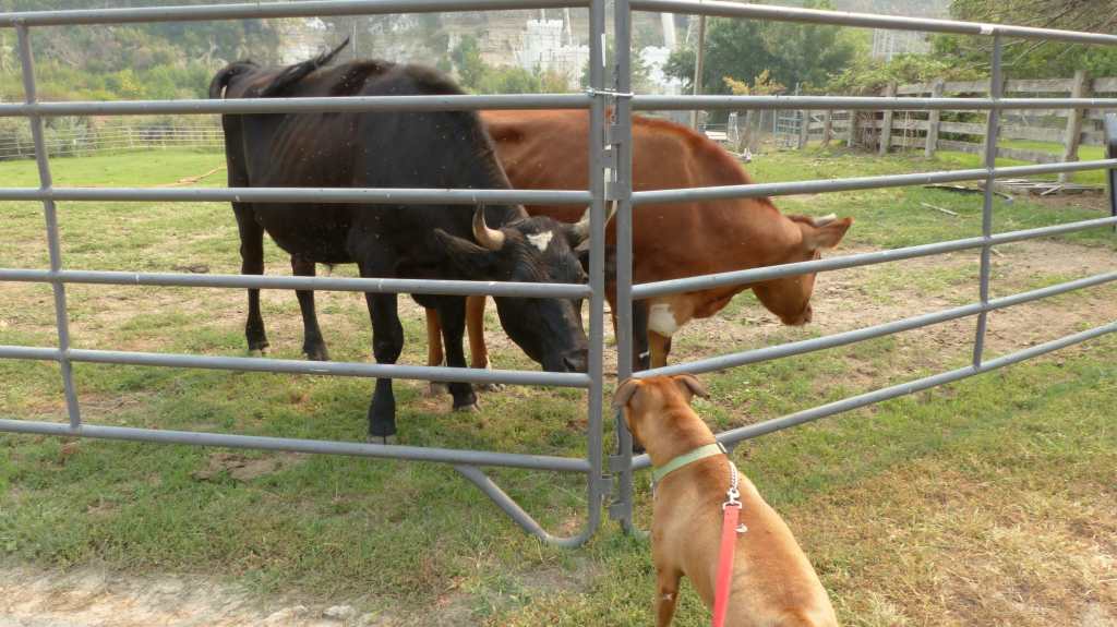
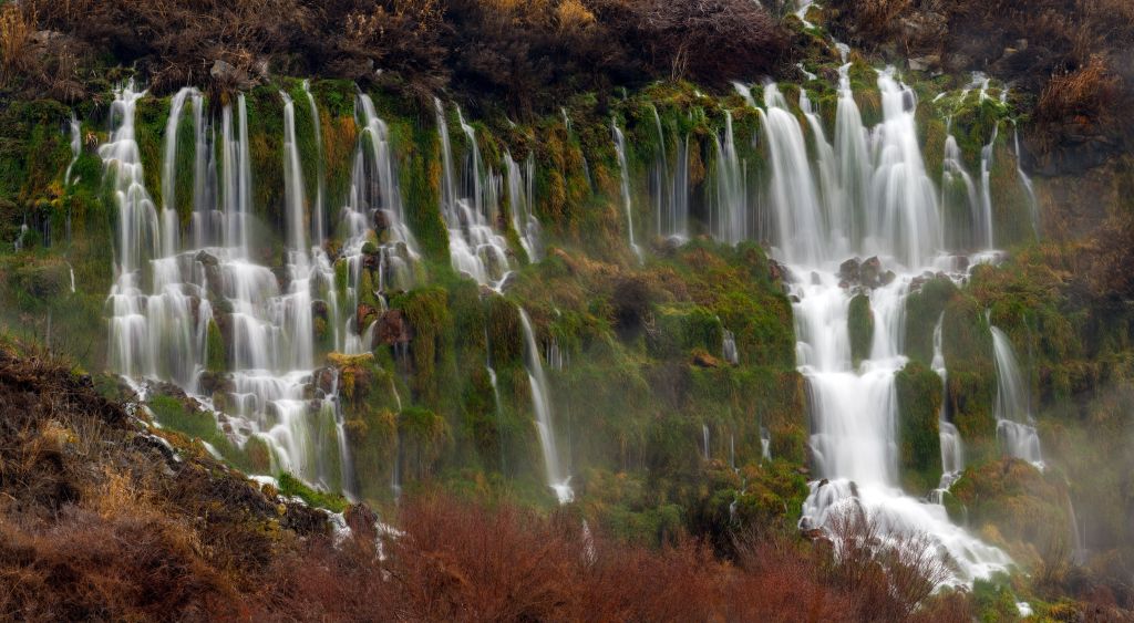

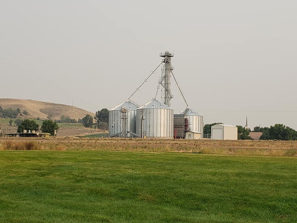
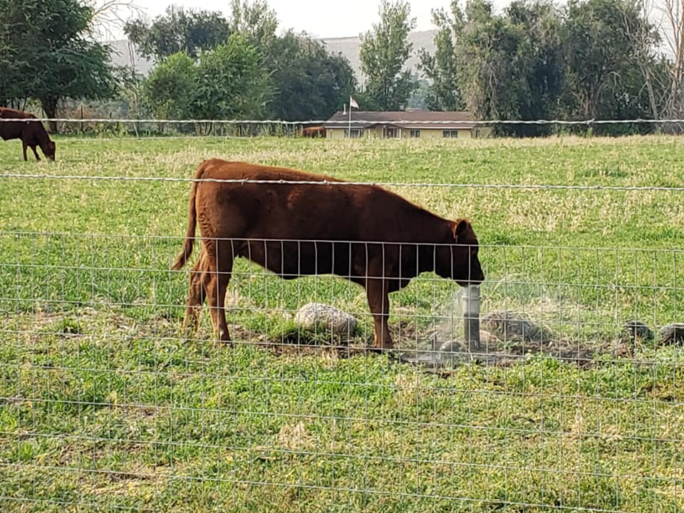


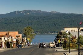


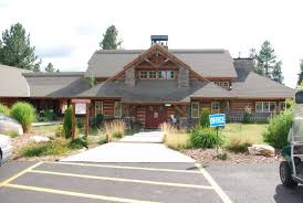
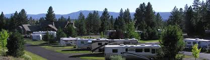
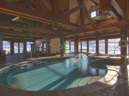


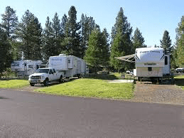


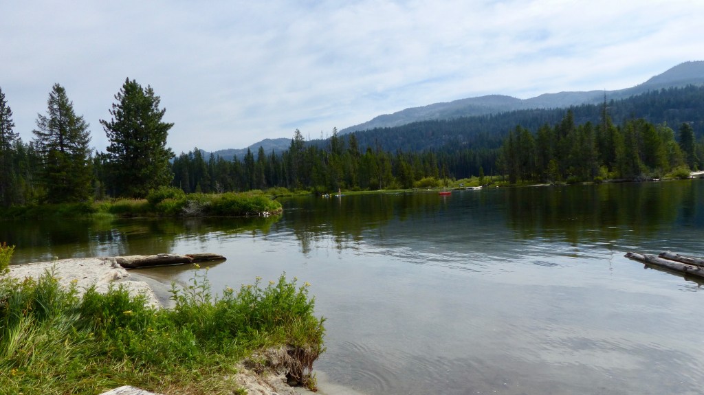


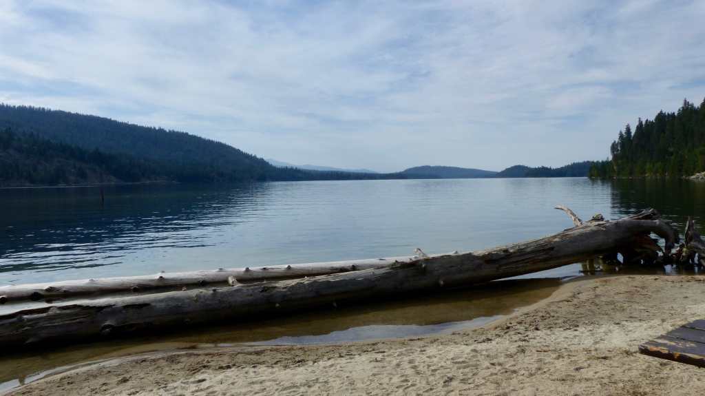


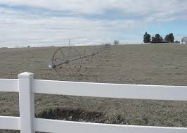


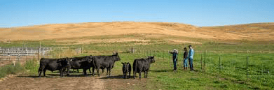


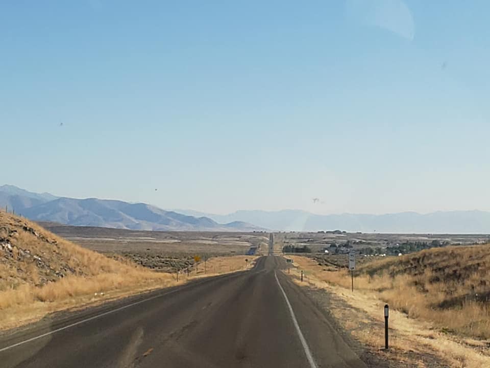
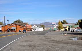


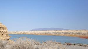
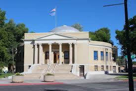
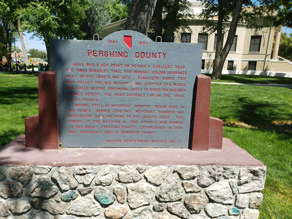


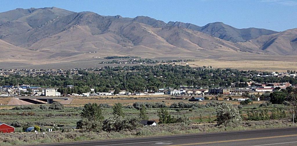


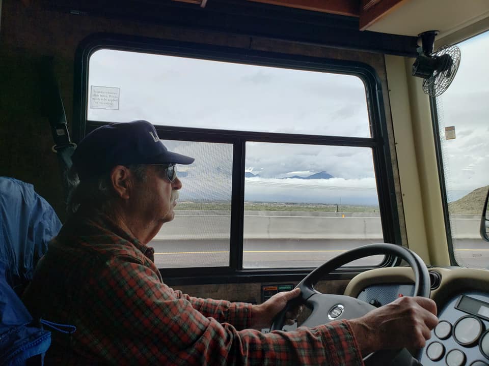


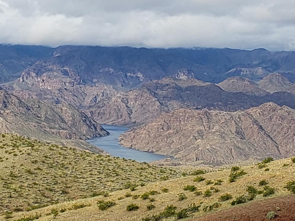
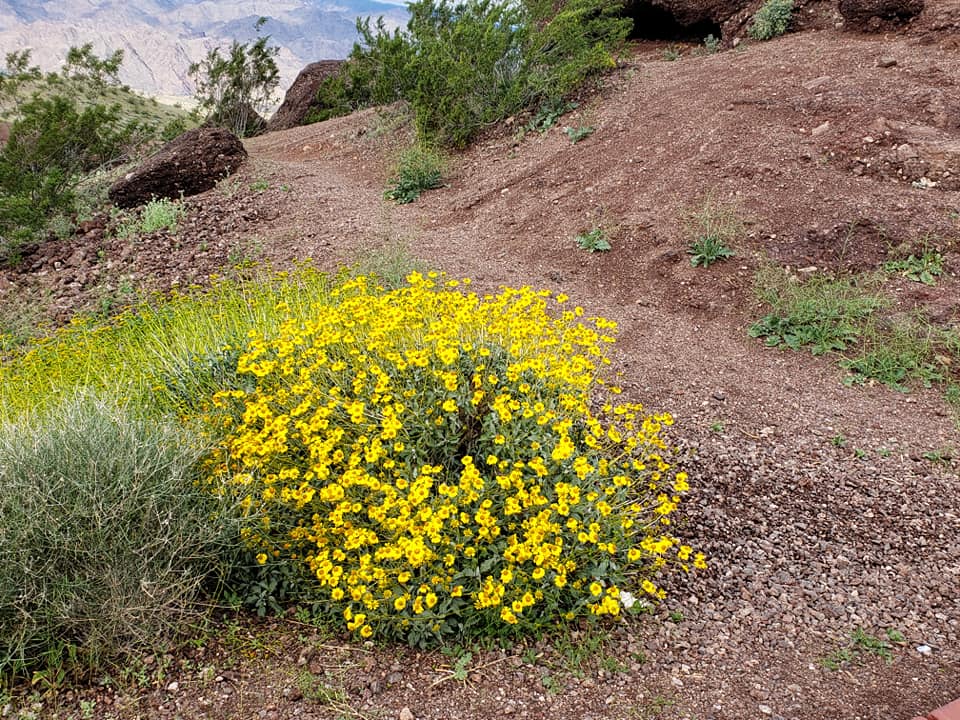


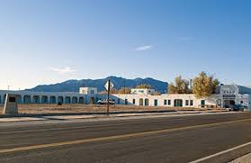
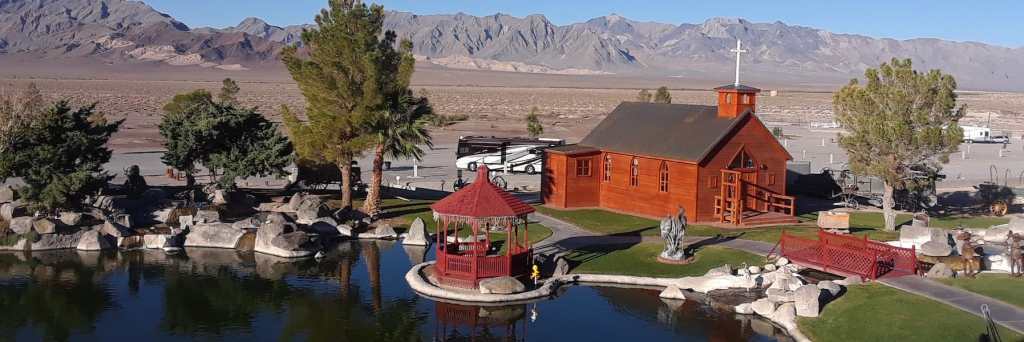

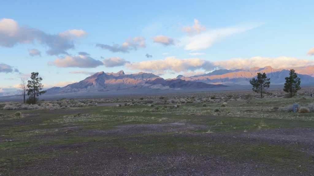


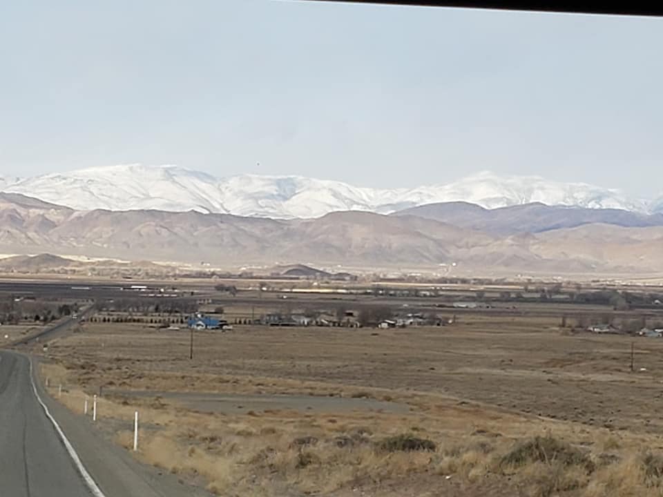


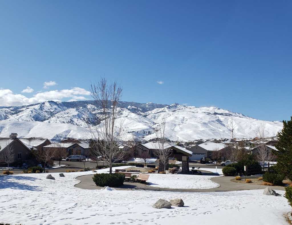


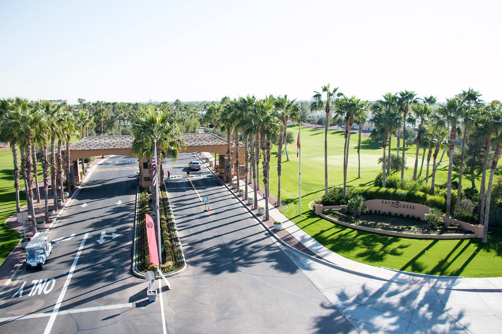


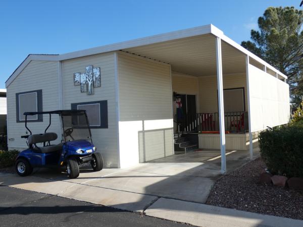


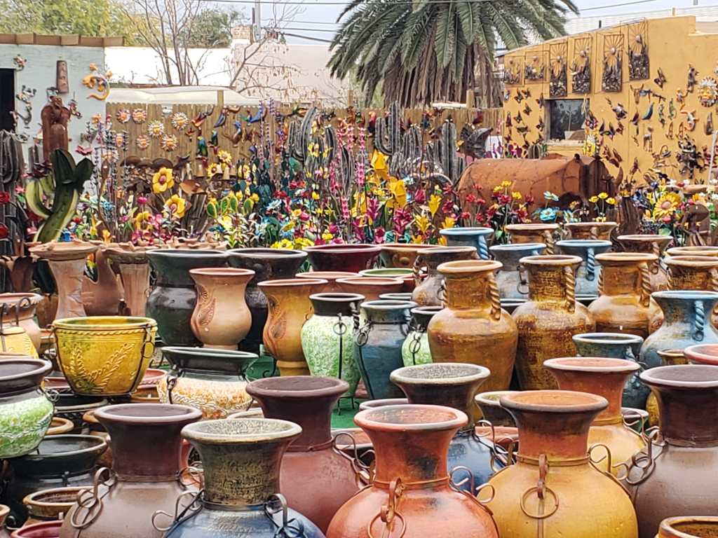
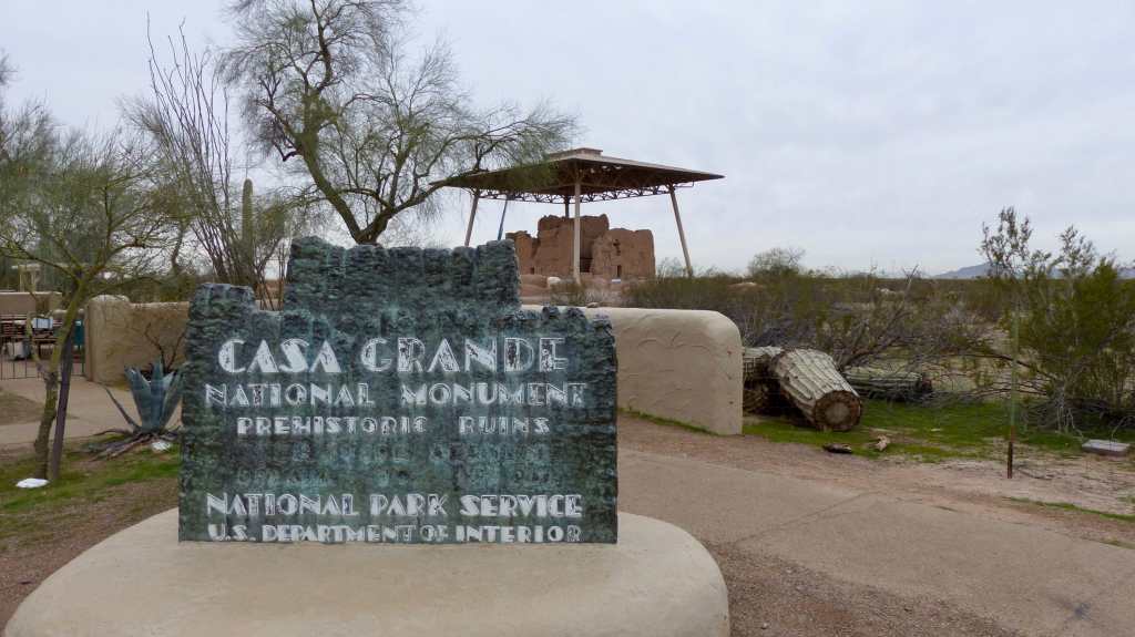


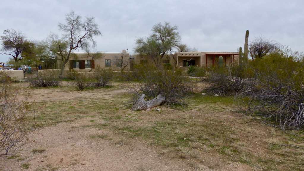

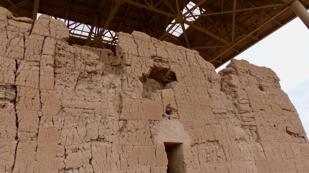

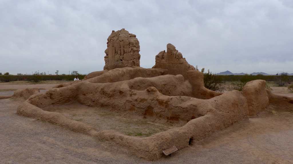

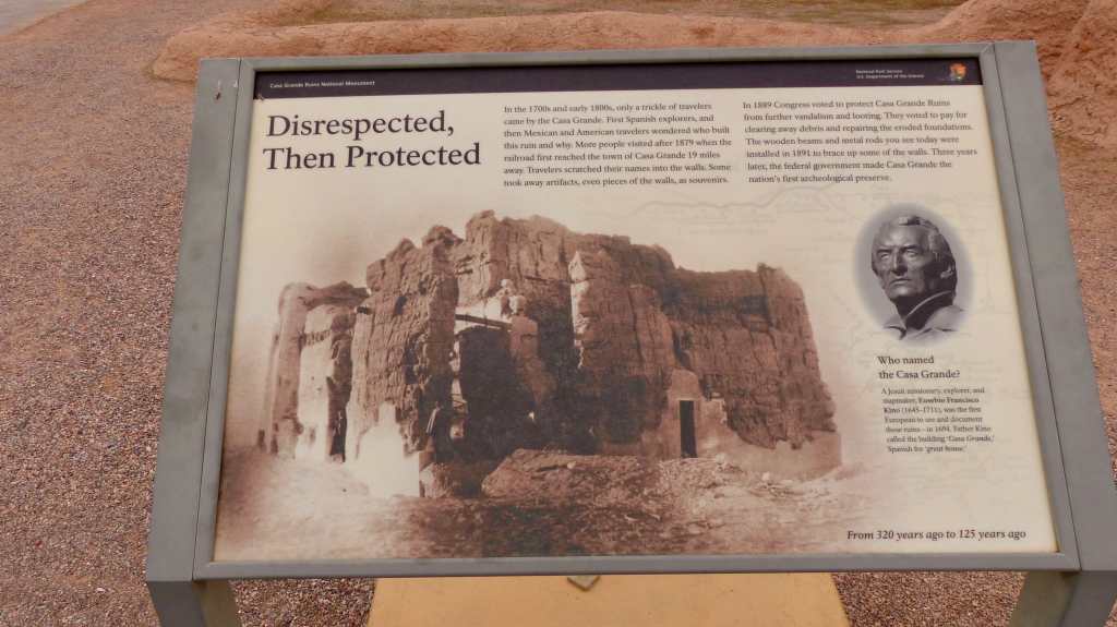
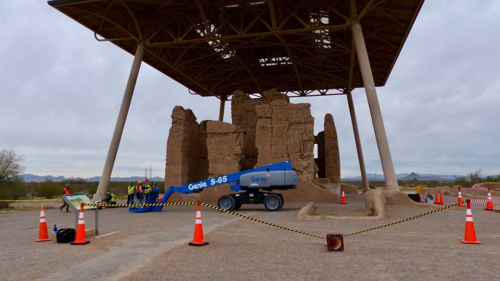


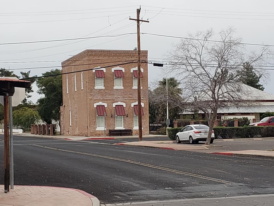
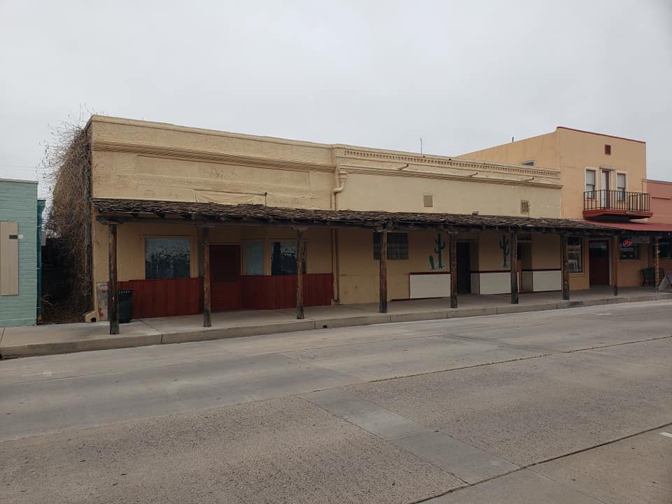
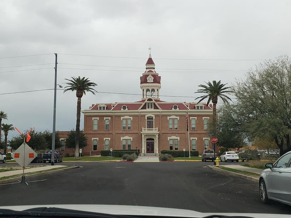
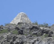


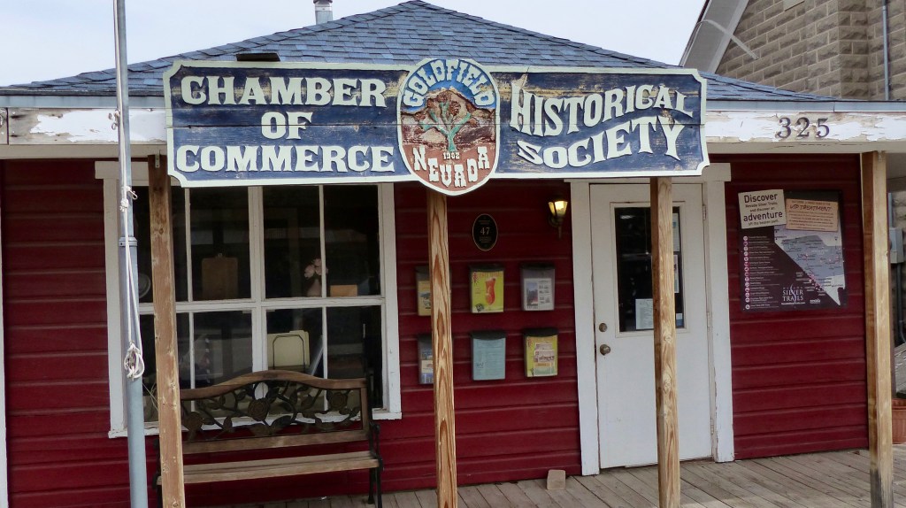

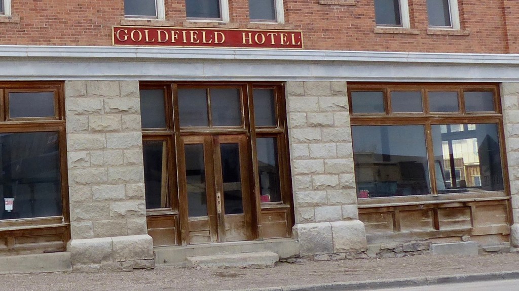

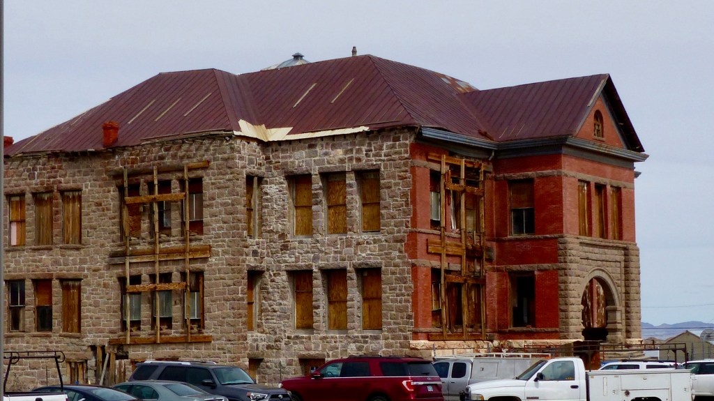

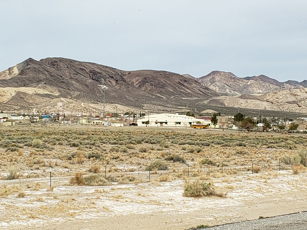

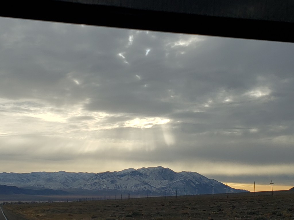

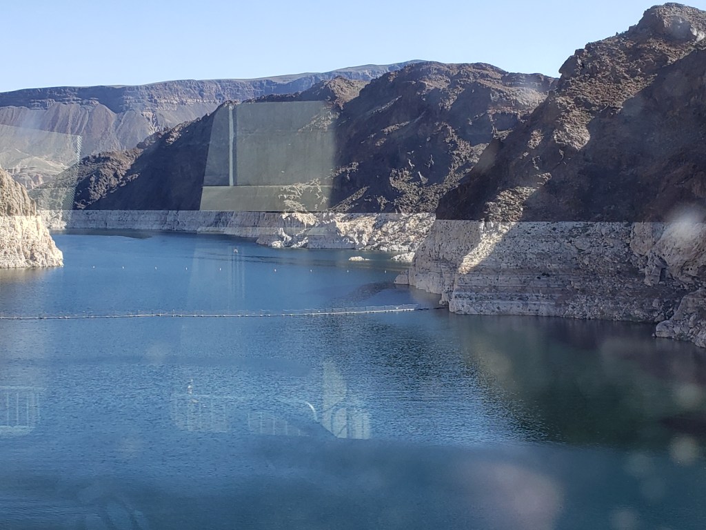

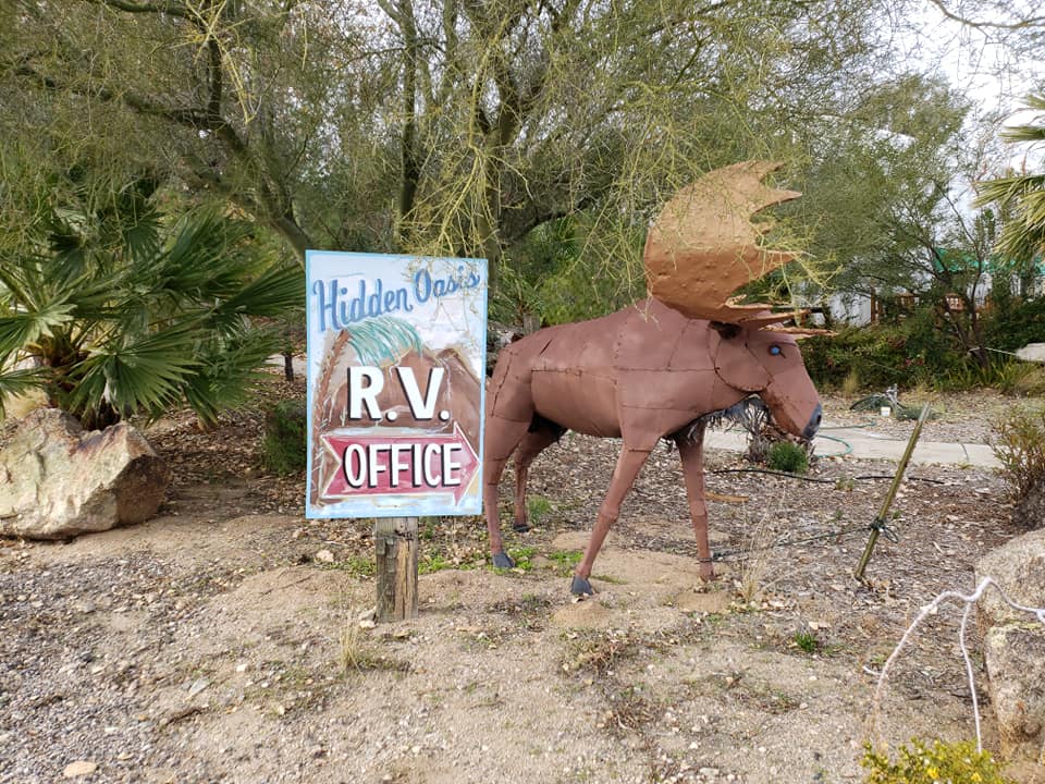
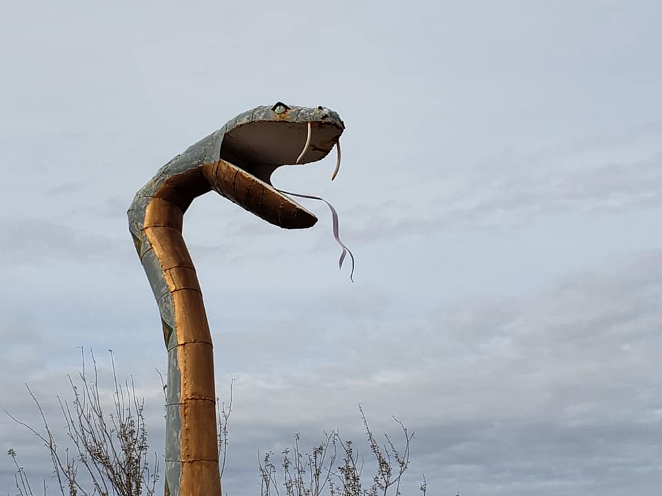

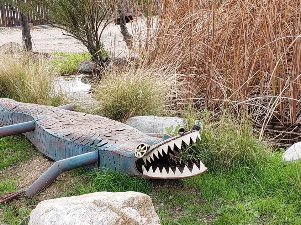

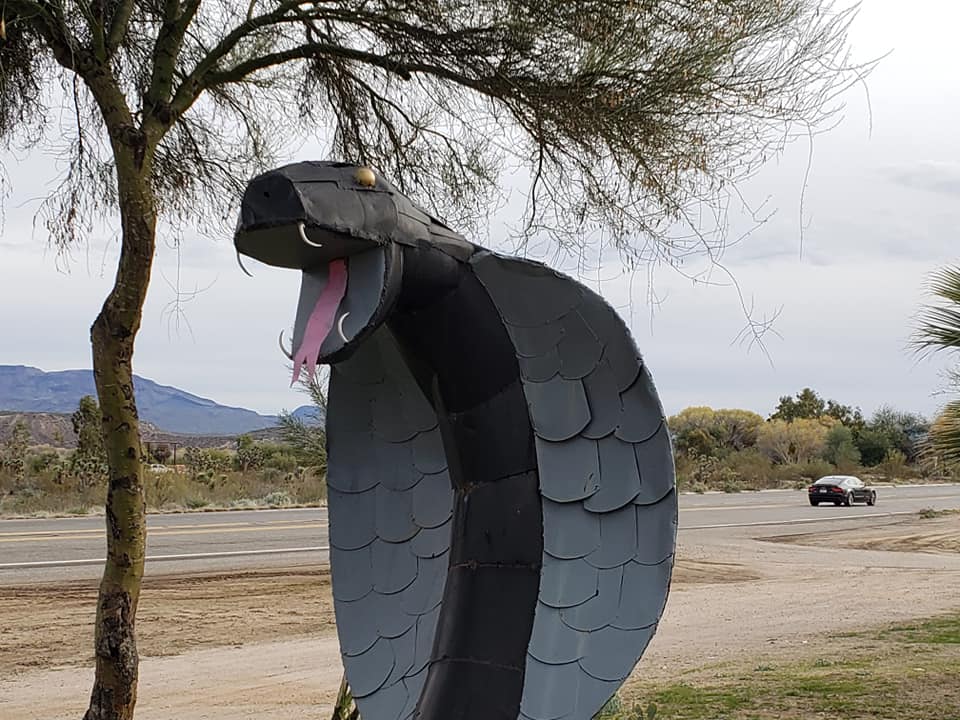


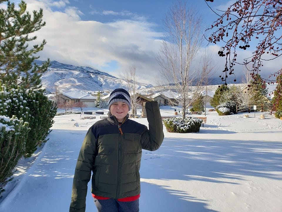


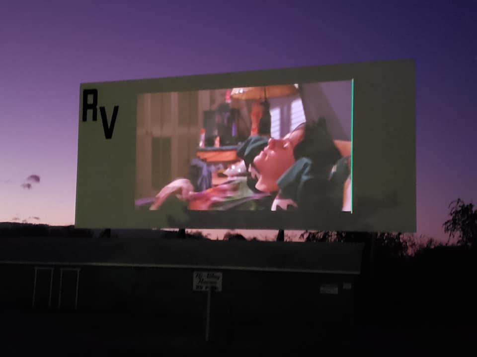


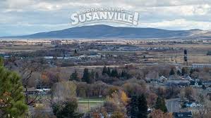


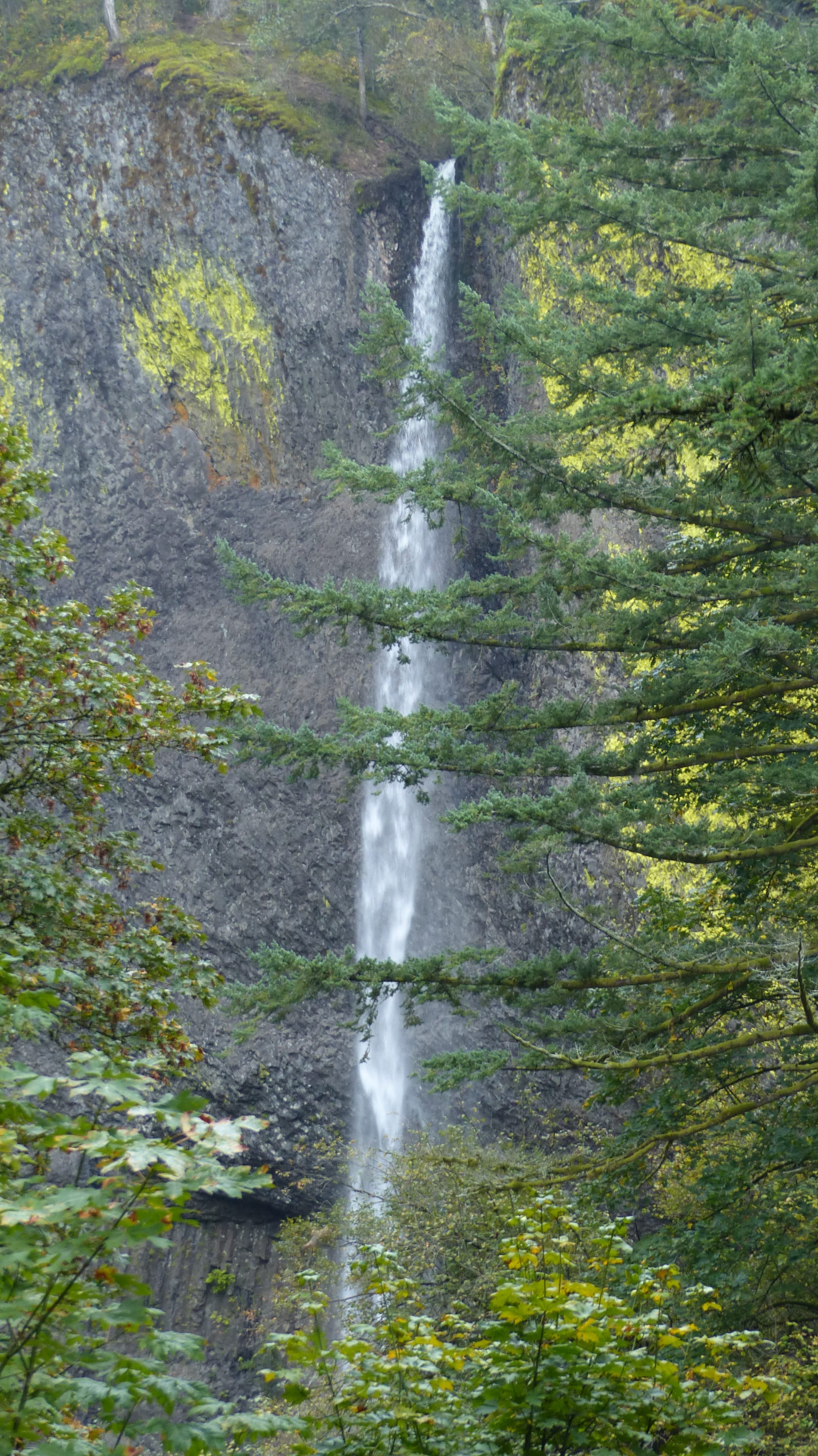

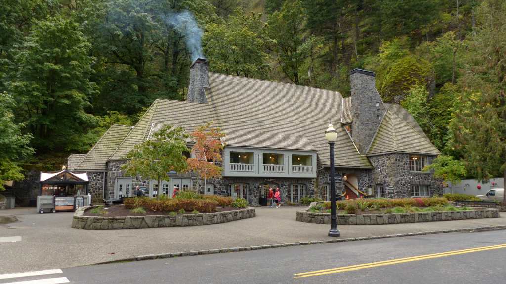

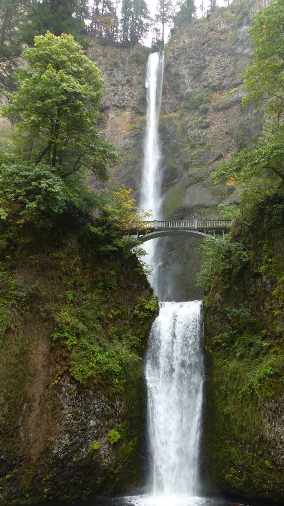
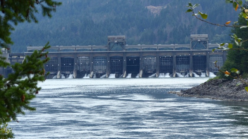


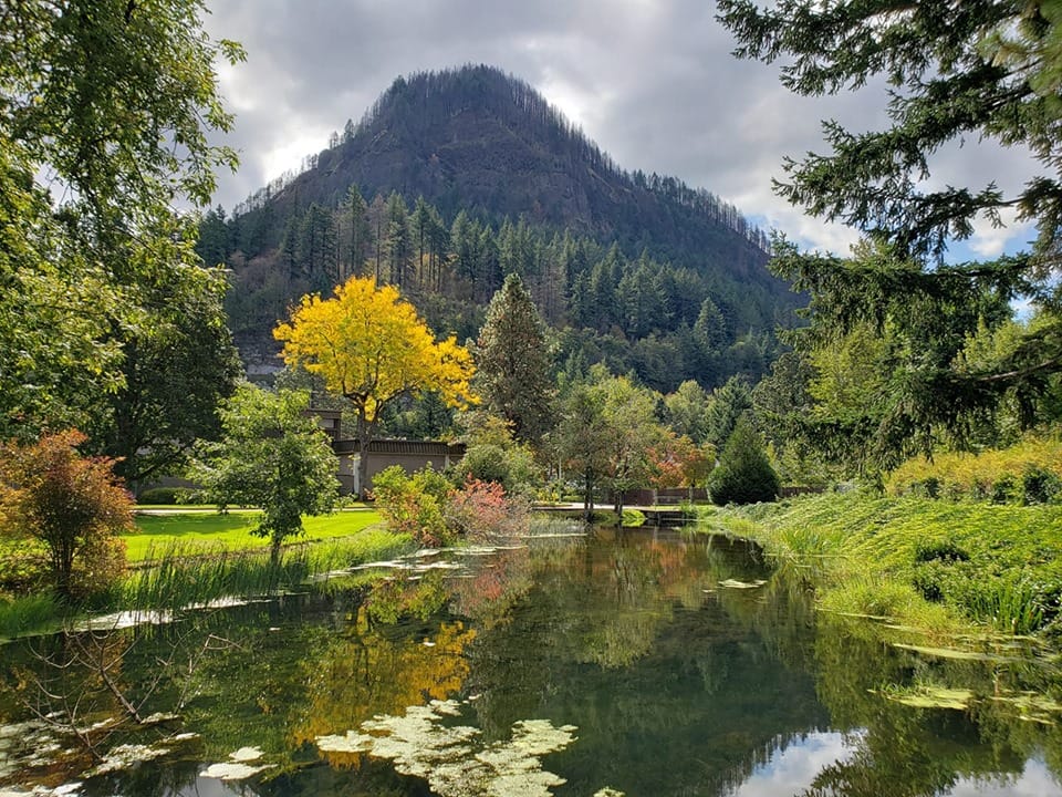


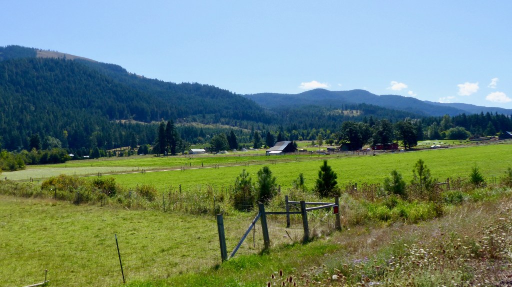
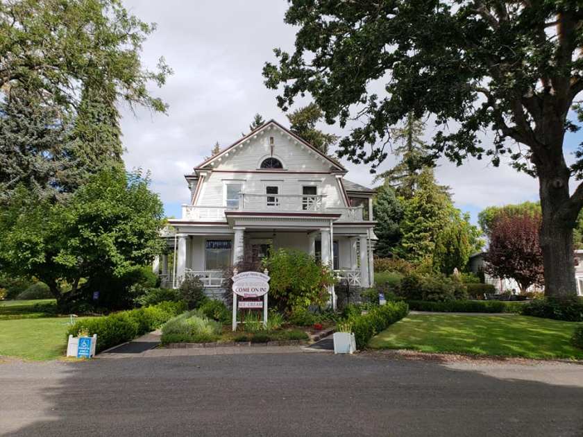
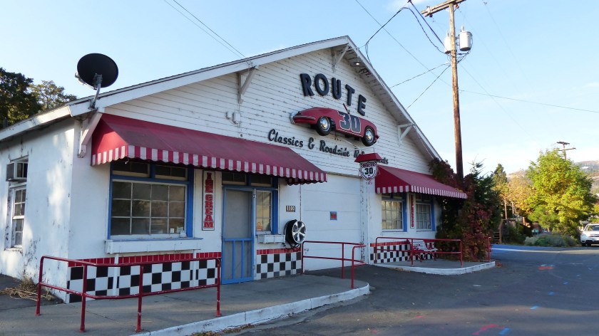

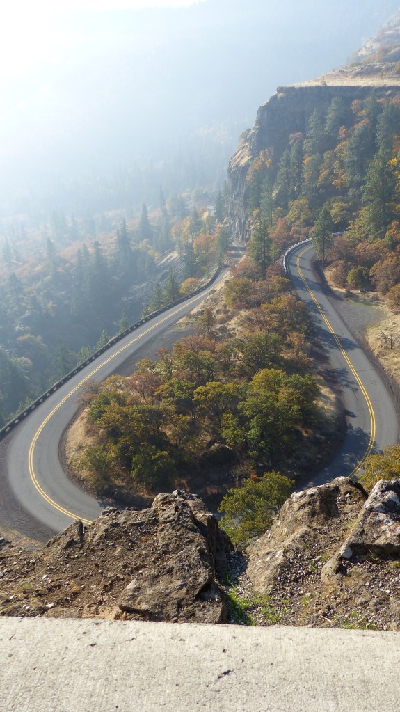

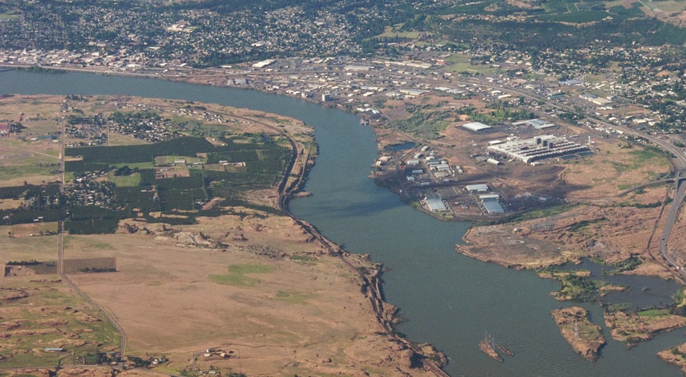


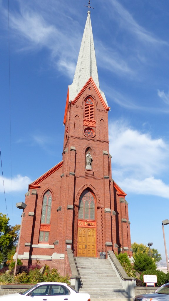
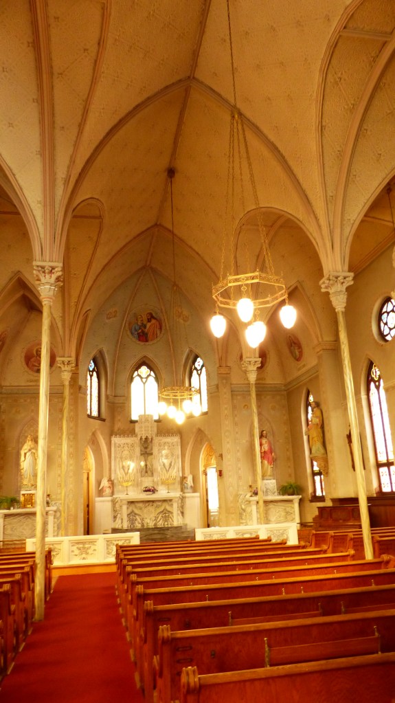

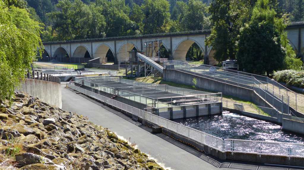
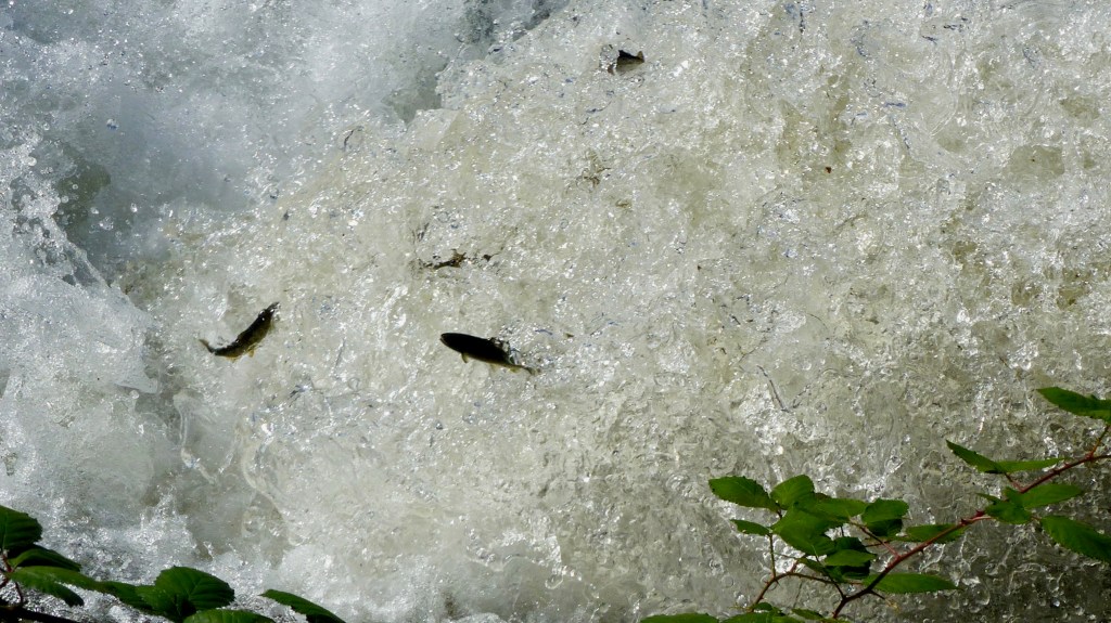
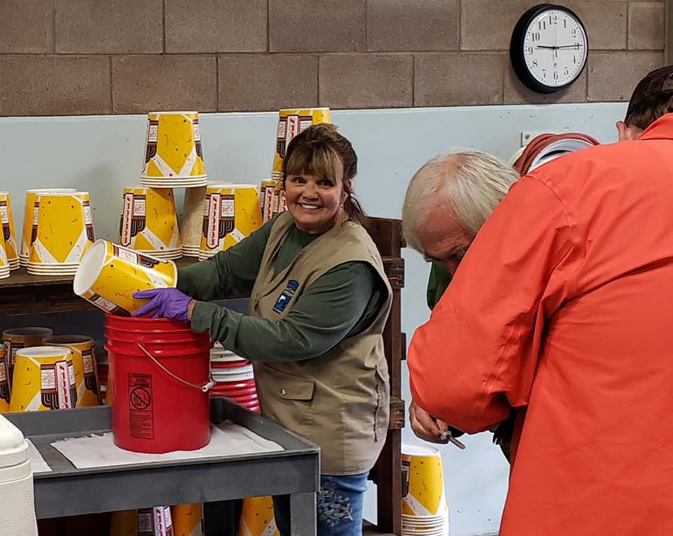

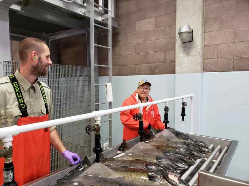
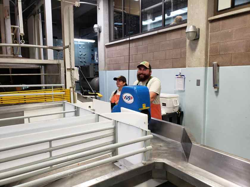


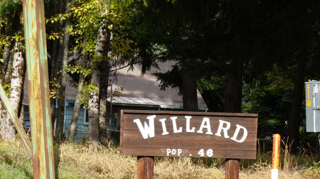

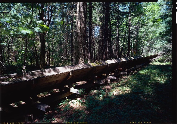


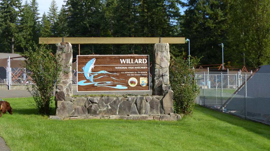
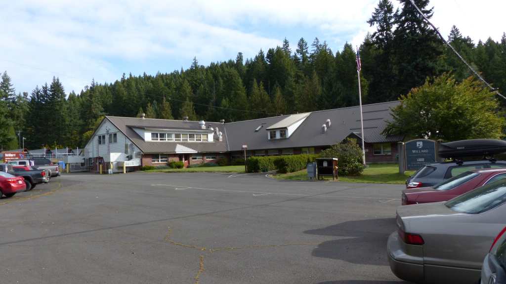
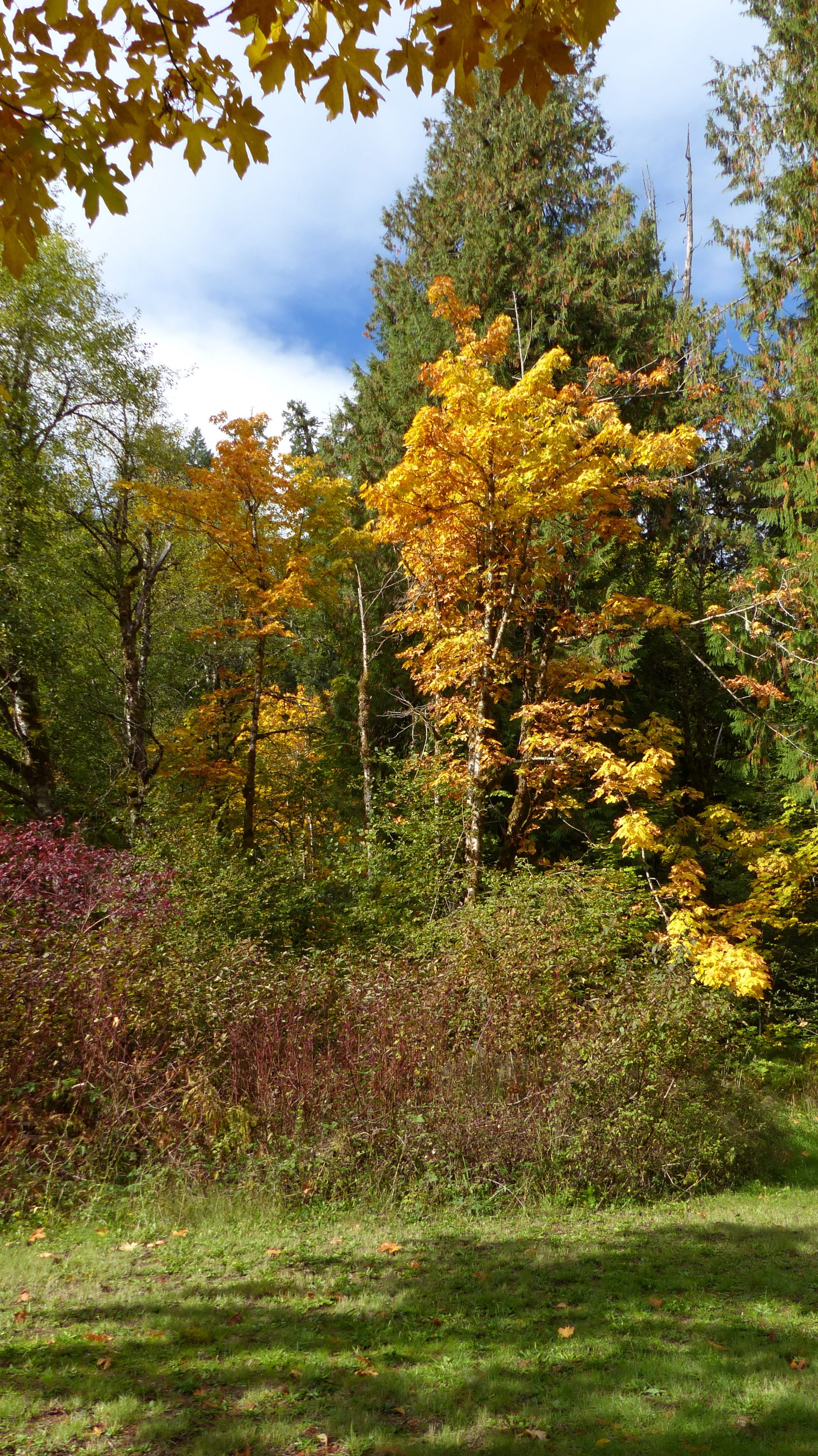


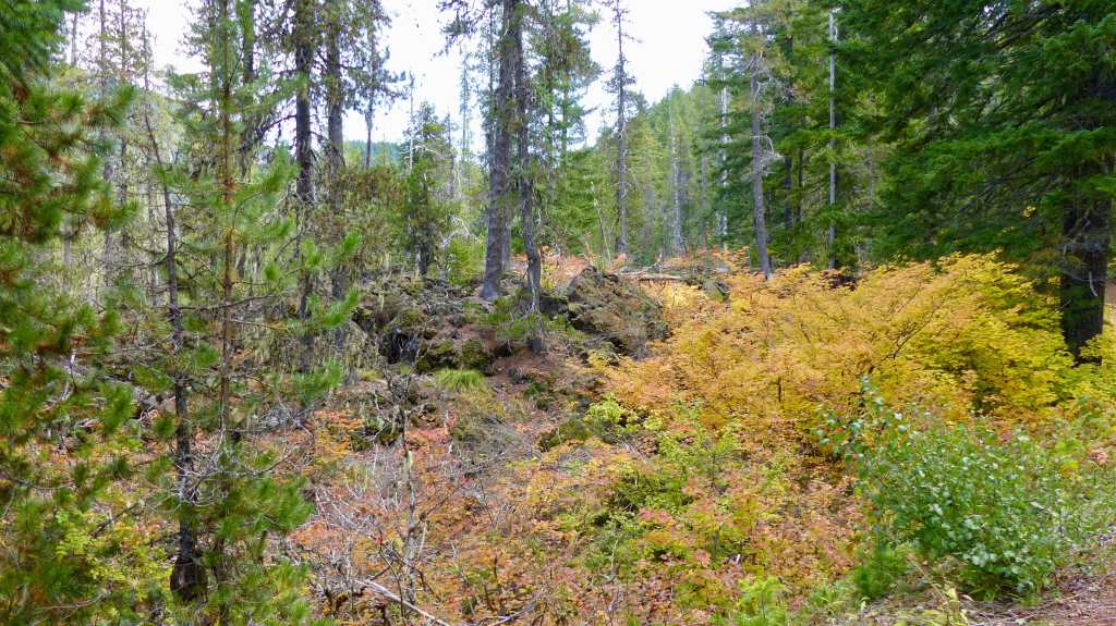


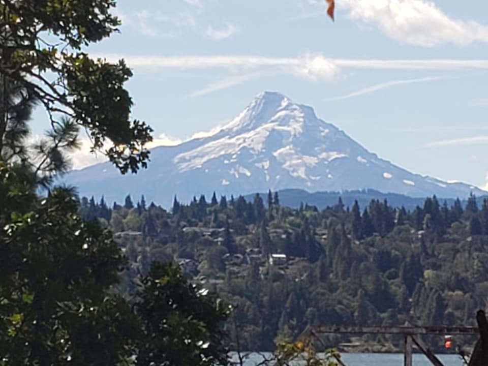
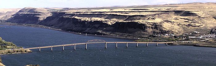


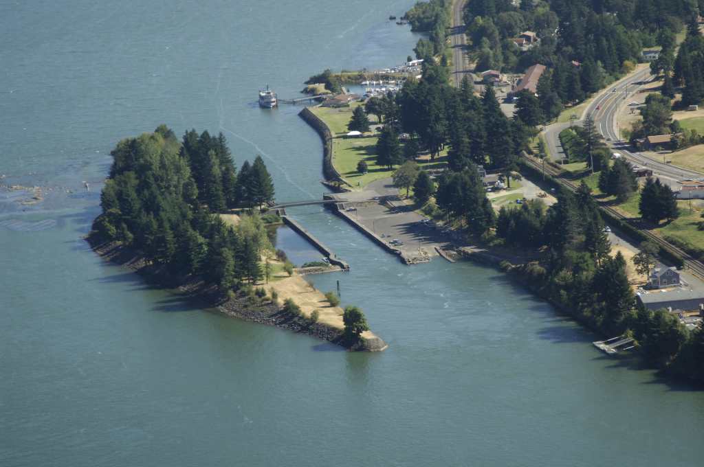


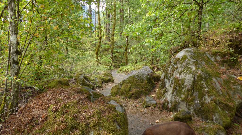

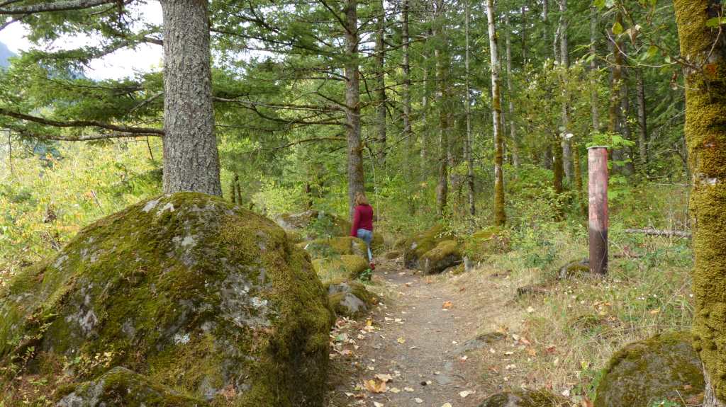


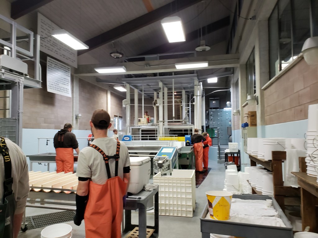
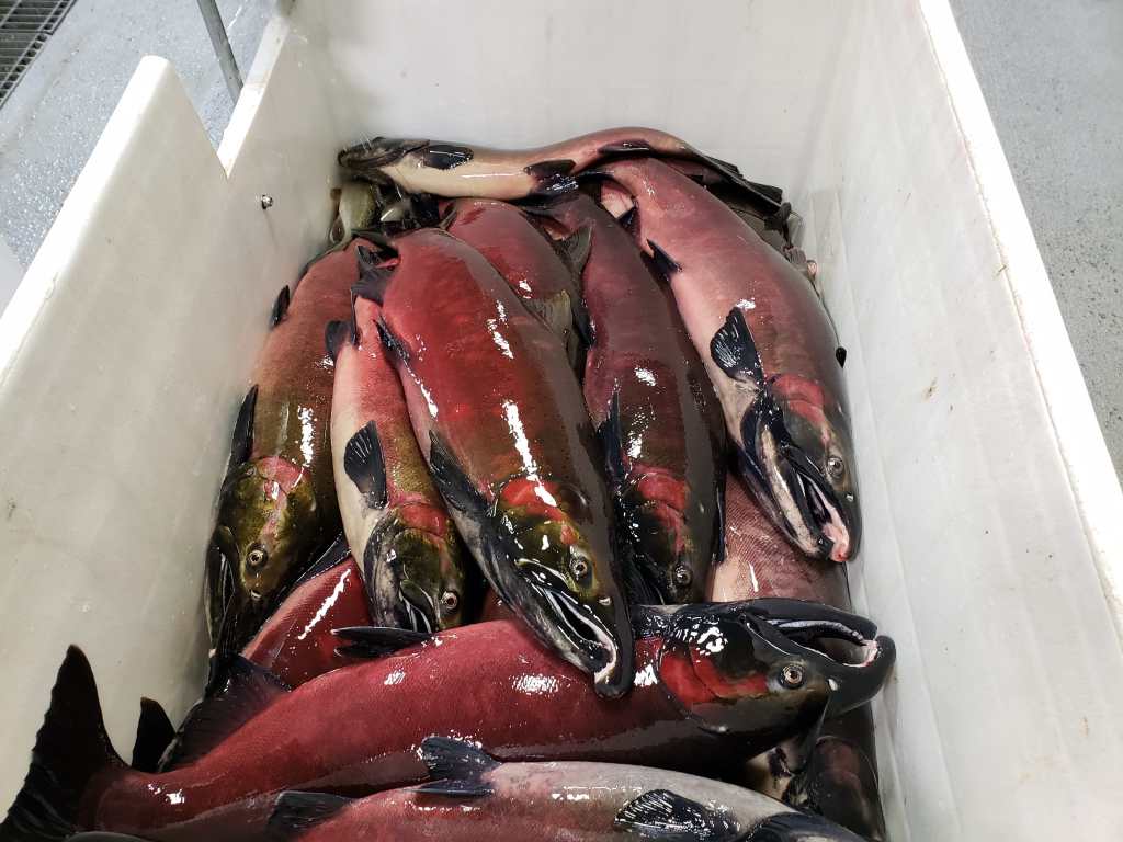


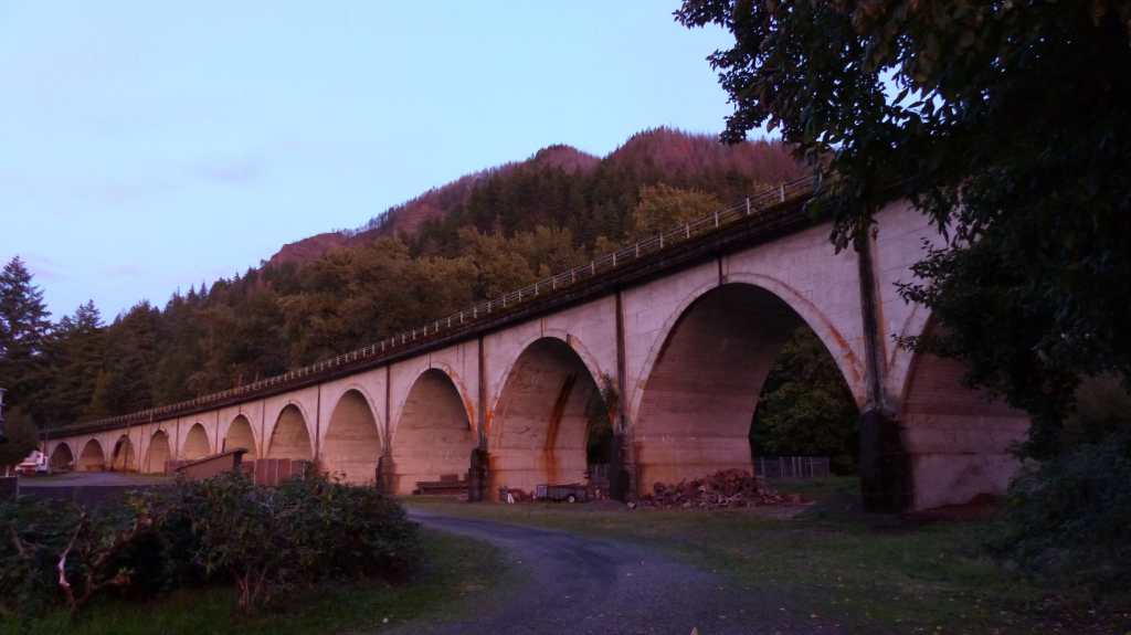
