Saturday, September 22, 2018
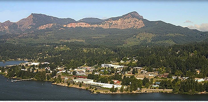
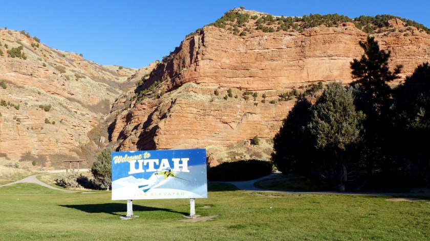
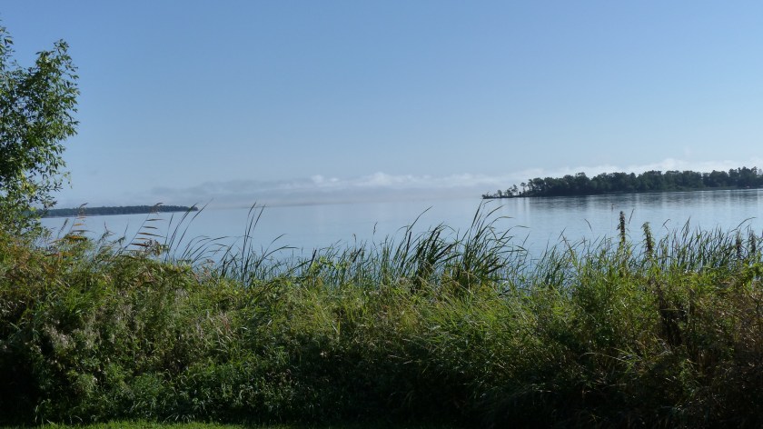
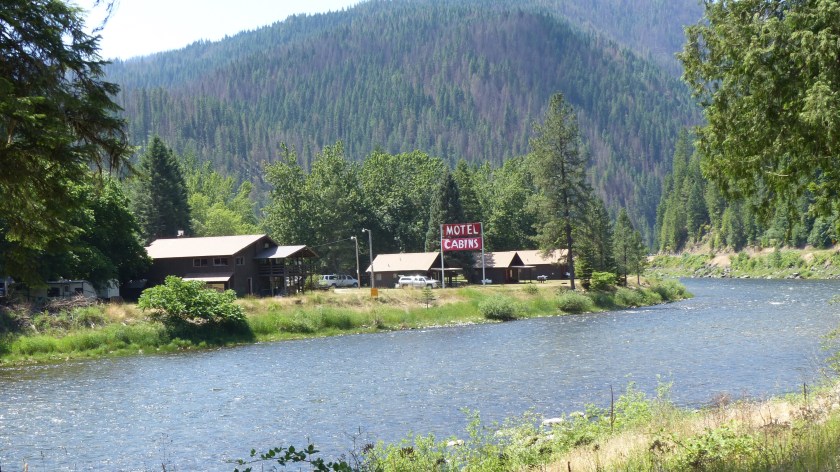
Stevenson Washington (2400 souls) is the Seat of Skamania County. We do most of our grocery shopping there as well as attend Mass on Sundays. Stevenson has a lot more to offer than Cascade Locks and is only 3 miles farther. The local A&J grocery store is pretty well stocked and the town has few nice restaurants, a pharmacy, a hardware store and an auto parts store. Stevenson is also a port of call for the river tour boats which have the appearance of the old Mississippi stern wheelers. At seven miles distance, Stevenson is a lot closer than traveling 20 miles either way to Hood River or the Gresham/Troutdale/Portland area for basic supplies. Besides, the view from The Bridge of the Gods looking up and down river is outstanding!
We took a trip on the Stevenson side of the Gorge east to White Salmon (2400 souls), again to escape the rain. The rain followed us! WA 14 is also known as the Lewis And Clark Highway as The Corps of Discovery used the Columbia River Gorge to reach the Pacific Ocean in 1805.

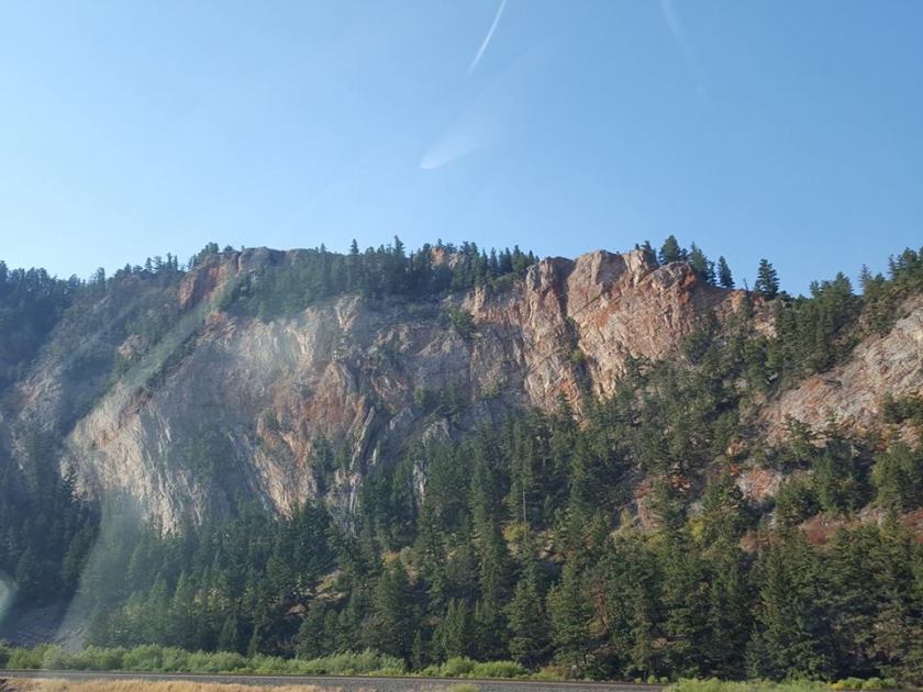
Washington Highway 14 runs between Vancouver, WA and Plymouth to the east. In places it is a hilly, twisty two lane road. As one travels farther east the road flattens out and parallels railroad tracks. I think one of the highlights of this section of road are the tunnels. There are seven in all and we go through six. RV’ers who haven’t traveled the 14 are concerned with low clearances but shouldn’t be. Semi’s go through them all the time. The tunnels are arched so the low point is at the vertical wall which most rig drivers would avoid anyhow. An RV’er is always wise to know exactly how tall their rig is as there are many places around the country that have restricted heights.

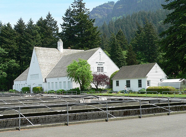
We stopped at the Spring Creek National Fish Hatchery just west of White Salmon. Of course, it’s raining……….. Jil goes into the office and starts chatting with the nice Fish Gal behind the counter……. and its raining……… and I’m outside with our mutzos……… and Jil’s still chatting. I find a post on which to secure the furry ones leashes and head in. Jil’s still yackin’, er, conversing with the Fish Gal so I run into the Little Boys Room. When I come out she is still, ehem……. conversing. I break into the conversation and say “Sweetie, it’s raining outside and the doggies are getting really wet. You know how much you dislike the smell of wet dogs………..” and I walk outside to stay with the furry ones. After what seemed like a week Jil comes out and we walk through the hatchery to the car and climb aboard. Ewwww, it smells like wet dog in here! Sigh……….


We also did a quick spin around White Salmon enjoying the fantastic views that this cliff-side town has to offer. Couldn’t see as much today for the clouds. The mutzos needed a stretch so we went to the park. On a clear day Mt. Hood can be seen from that location.


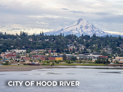
Heck, on a clear day Mt. Hood can be seen from almost anywhere in the downtown area as this town sits well over 400 feet above the river- on the edge of a basalt cliff. We believe that the grocery store in town has the most complete inventory of any small town that we’ve visited. It has everything one could possibly need plus a deli and a coffee bar.


On the way back home we stopped at another Federal hatchery- Little White Salmon. It’s located at the confluence of the Little White Salmon River and Drano Lake. This hatchery is much smaller than Spring Creek but it sure is surrounded by a lot more beauty.


There’s been enough rain that the Boss didn’t want to mow for fear of sinking his big commercial mower up to its hubs in mud. Enough rain that the planter boxes didn’t need watering. Enough water to limit the amount of visitors to the hatchery which is unusual as they are accustomed to wet weather. After all, we are in U. of Oregon Duck and Oregon State Beaver country.

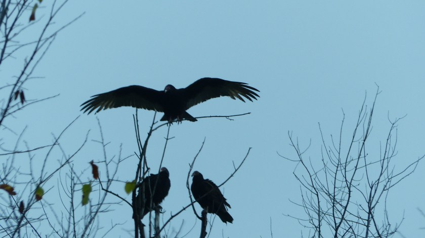
But the some of the ones who did visit ask questions us hosts have heard many times before. What is there to see here? Duuhhh- fish maybe? Where can we see the big sturgeon? Can you see that big 4′ by 8′ map displayed directly behind me? Well, it has a location marked “You are Here”. The map is self explanatory in that just to the left of our location is an area marked “Sturgeon Viewing Center. It’s also emblazoned in big white block letters with a directional arrow just below the map, Sir. Ohhhh.

Well, how do I get there? OK, the map also indicates that if you follow the fish painted on the walk, like the one you are standing on, it will lead you to the Sturgeon Display. Oh…….. So once the salmon are spawned do you release them? No sir, they are euthanized in order to spawn the fish. SHOCK! (grabs chest as if having a heart attack) HOW HORRIBLE! No sir, the fish’s life cycle is over when they spawn in a natural setting. Euthanizing them is a lot more humane than them lying is shallow water slowly dying while a great blue heron is tearing meat from their body. Jeez……..
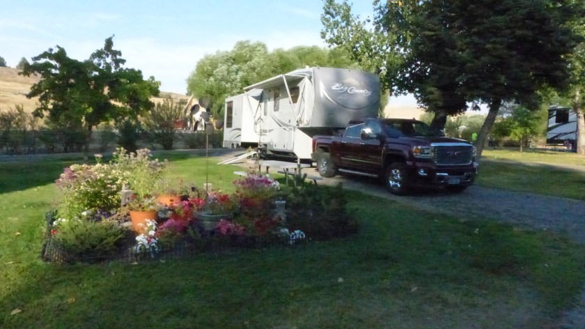
So this week at the hatchery has been almost like every other in that the rain kinda slows down the progress on the special projects list. We did get a few projects completed which I enumerated in the last post. We’ve mostly just kept the ball rolling in between rainy episodes. I did help our Boss Hugh eliminate a water leak in an unused RV utility pedestal located near our own. Couldn’t fix it with the parts on hand so we plugged the pipe. I also repaired a water leak at our own pedestal. An inline water shut off valve had cracked, no doubt from freeze damage caused last winter, was replaced. Jim and our boss Hugh managed to get the Japanese Maple tree out of its old planter with a fork lift and into the new one that Jim made.

More rain in the forecast. We’ll see how much more of the wet stuff we receive compared to the predictions.


![minnesota_003[6]](https://i0.wp.com/travelwithjilnmike.com/wp-content/uploads/2018/08/minnesota_0036.jpg?w=605&h=404&ssl=1 "minnesota_003[6]")
 Thursday, August 30, 2018


 Wednesday, August 24, 2018


")


")


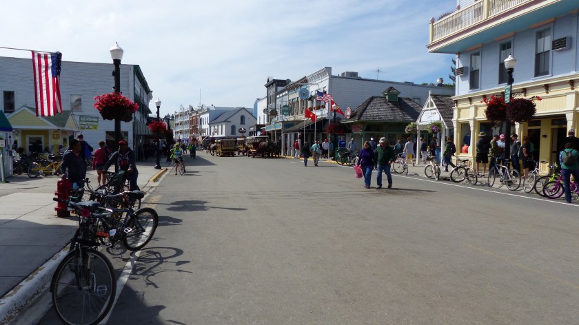
 Even The Trash Is Collected By Horse Drawn Wagons


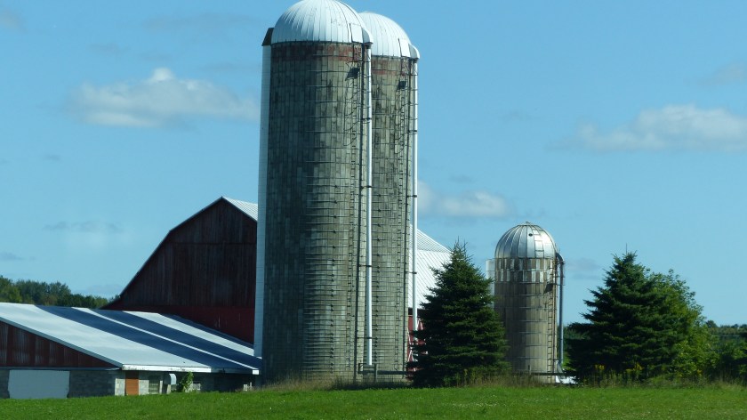


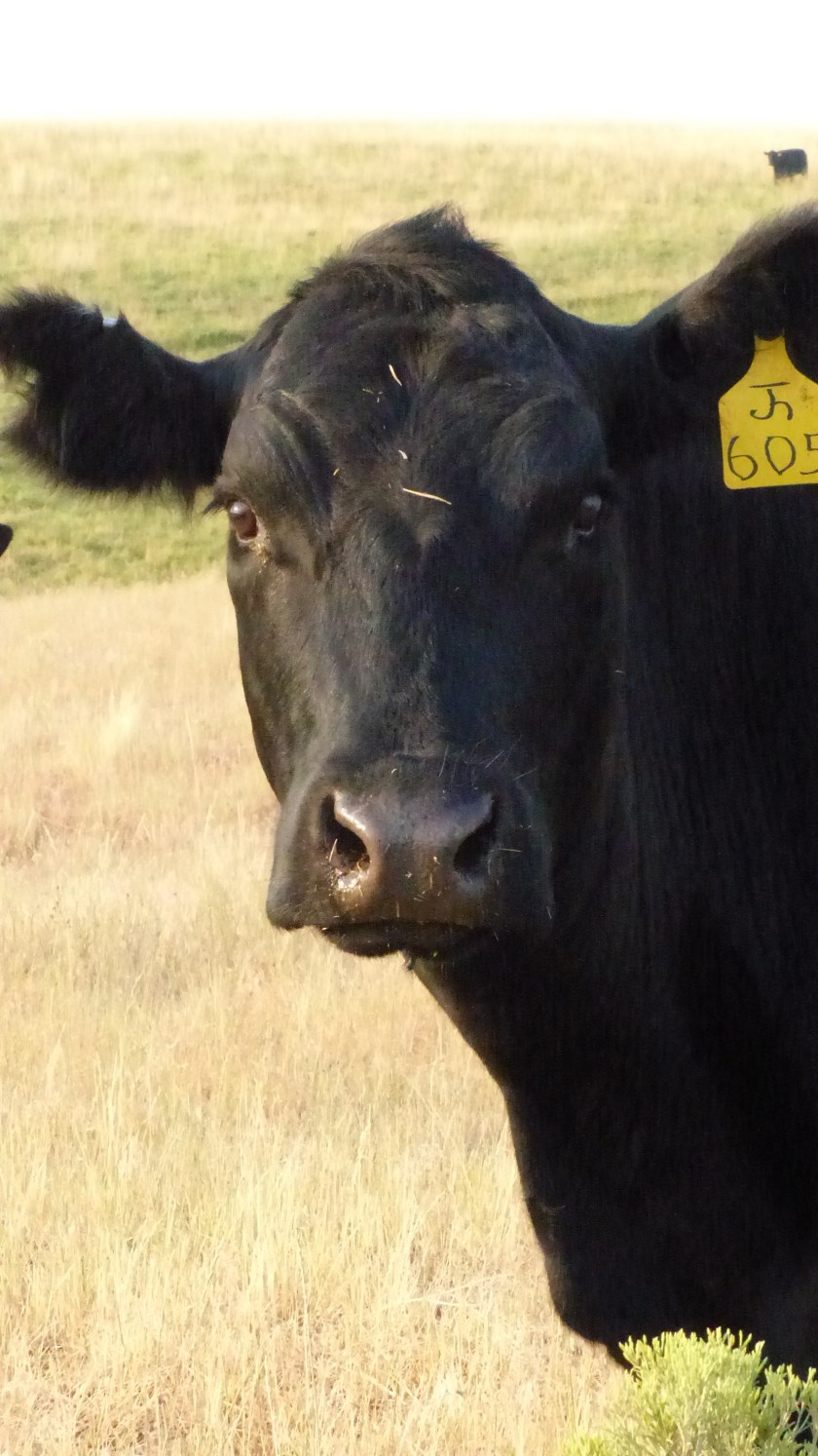
 Yesterday we traveled 115 miles to Buffalo River State Park. We are now in our second new to us state- Minnesota. As we cruised east the hills got a little smaller and the northern plains became more evident. Again we see large fields of crops, a checkerboard of corn, sunflowers, maybe some wheat and alfalfa. We travel quite a distance without seeing cows, then spot one that had gotten past the barbed wire fencing and was laying on the side of the road. We are used to seeing raccoons, deer, even porcupines and armadillos in the South but hardly ever cows.


 August 22, 2017- Travel Day #19


 When approaching Hebron we see a sign. “Fort Sourkraut Next Exit”. Fort Saurkraut? Ya gotta be kiddin’ me. No, they are serious. Fort Saurkraut was raised in three days by settlers interested in saving their hides from Indian attack. The fort was built out of sod with (stolen) railroad ties for roof support. It was then surrounded by barbed wire in the hopes that it would deter the rumored attack. The Indians never planned on attacking the settlement, the attack never came. Fort Saurkraut (so ya think there were a lot of Germans in this town?) is the only sod fort ever built in North Dakota. The fort was recreated a few years ago by dedicated farmers in the hope that “If we build it, they will come”. I don’t know how that worked out for them………


 August 19, 2017- Trip Day #17


 Conrad Kohrs opened a butcher shop. Grant build a 4000 square foot house in 1862 and 5000 square feet was added to that home by Kohrs in 1890. Augusta Kohrs salvaged the bug ridden house in a “war of extermination”. Over time she acquired the finest things in life, luxurious furnishings, Pershian rugs, the finest china.
  The ranch house is open to the public as are the grounds. When we visited a volunteer fella had a chuck wagon on display and offered us cowboy coffee he had made over the campfire. A blacksmith was busy making andirons in the blacksmith shop. And Miles, a volunteer cowboy was mounted on Fox, a quarter horse who lives on the ranch. We enjoyed the information that the knowledgeable volunteers and Rangers shared, and the ranch is beautiful.
")


 We also say goodbye to Idaho at that point and enter Montana. The road on the east side of Lolo pass is much smoother, wider and a more gentle slope as it follows Lolo Creek down towards the town of Lolo. We pass numerous ranches and more than a few fire camps and fire drop points. We meet momma moose standing on one side of the highway looking towards the other. She’s waiting for her baby. The few motorists stop and wait for baby to catch up. Then they disappear into the woods. We are still on the path that Lewis and Clark took in 1805 but I think we have it much easier than they. No paved roads for them and no gigantor home on wheels either!


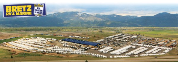
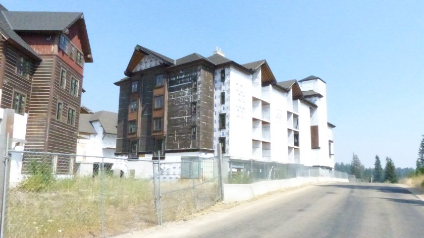
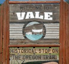
 We left McCall and headed northwest on Highway 55. We’ve been on Mountain Time since we left Vale, Oregon. We assumed that once in the more eastern state of Idaho that we would stay in the Pacific Time Zone. Whoa, cowboy! Not so fast there pardner! We now know it’s true that the southern part of Idaho is in the Mountain Time Zone, the northern Idaho is in Pacific Time. So as we turn on highway 95 and head north towards Riggins, a town of 420 souls, we are still on Mountain time.
 North of Riggins, right across the Salmon River Bridge we are back in the Pacific time zone! What the hey! So begins the strange time……zone!
 Riggins is nestled deep in a canyon at the confluence of the Salmon and Little Salmon Rivers at 1800′ in elevation. As Riggins is the northwestern most town in the Mountain time zone, US-95 is the only highway for the state that connects the panhandle to the south. The town claims to be Idaho’s Whitewater Capital and well it could be. Rafting, kayaking are very popular as are fishing and hunting. The Seven Devil’s Mountains and Hell’s Canyon National Recreation area close by.
 Before climbing out of the canyon we pass White Bird. The town of 91 folks is named after the Nez Perce chief that lead his people to the first fight and a significant defeat of the U.S. Army in 1877.
  The entire area is like traveling through an American history museum. Signage is mostly dedicated to the Nez Perce people, how they lived and how the U.S. tried to remove them from their homeland so that the west could be settled by emigrants, miners and others. It’s interesting to note that before the army, the settlers and the miners made their presence the Native Americans and fur trappers and traders got along well together.
 US-95 climbs the 2100 vertical feet out of Salmon Canyon onto the Camas Prairie. Native Americans coveted the camas plant root as food.
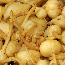
 The Nez Perce depended on the root for sustenance. The women would dig up the camas bulbs using elkhorn tied to wood digging sticks. After being cleaned the bulbs were piled on a bed of grass on hot stones and place over a fire pit and steamed. Once cooked they were dried. The extensive cooking broke down a good portion of the starch content to sugar, producing a sweet potato- like flavor. The story goes when the Corp of Discovery, i.e., Lewis and Clark Expedition arrived gaunt and starving, the Nez Perce offered them camas root to eat. The root didn’t agree with the guts of most of the men and caused them a lot of grief for an extended period of time.


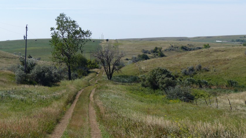
 Morning at the ranch